Trails near Travagliato
97 hikes starting within 15 km, nearest first.
Nearest first, page 2 of 3
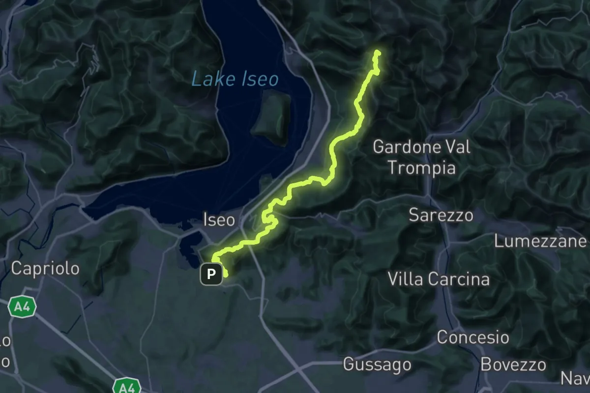
Demanding · Summit
Proai Gölem
44.7 km · ↑ 2342 m · 15 h 38 min · 13 km away
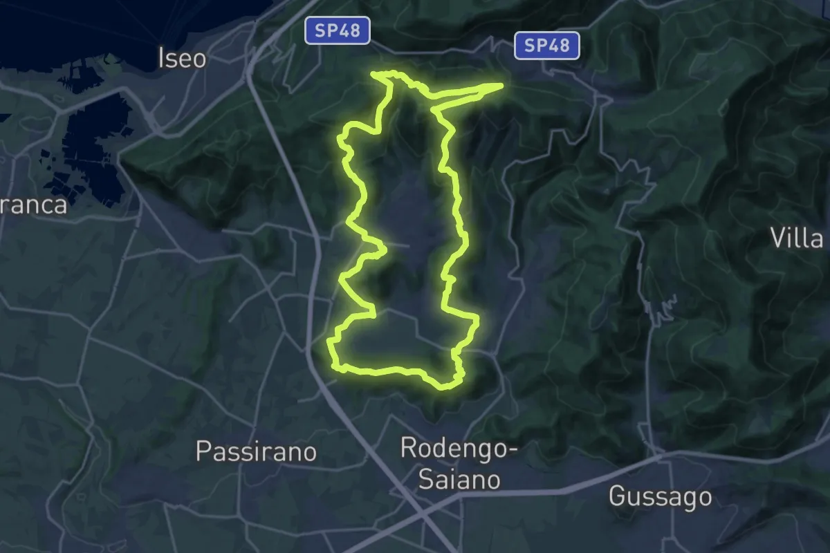
Demanding · Summit
El gir del Muntasel
20.5 km · ↑ 865 m · 6 h 59 min · 13 km away
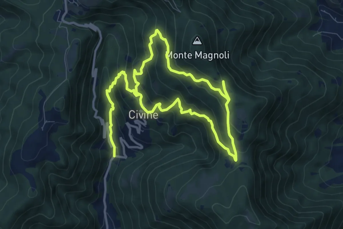
Medium · Trail
Sentiero Aldo Giacomini
7.5 km · ↑ 375 m · 2 h 49 min · 13 km away
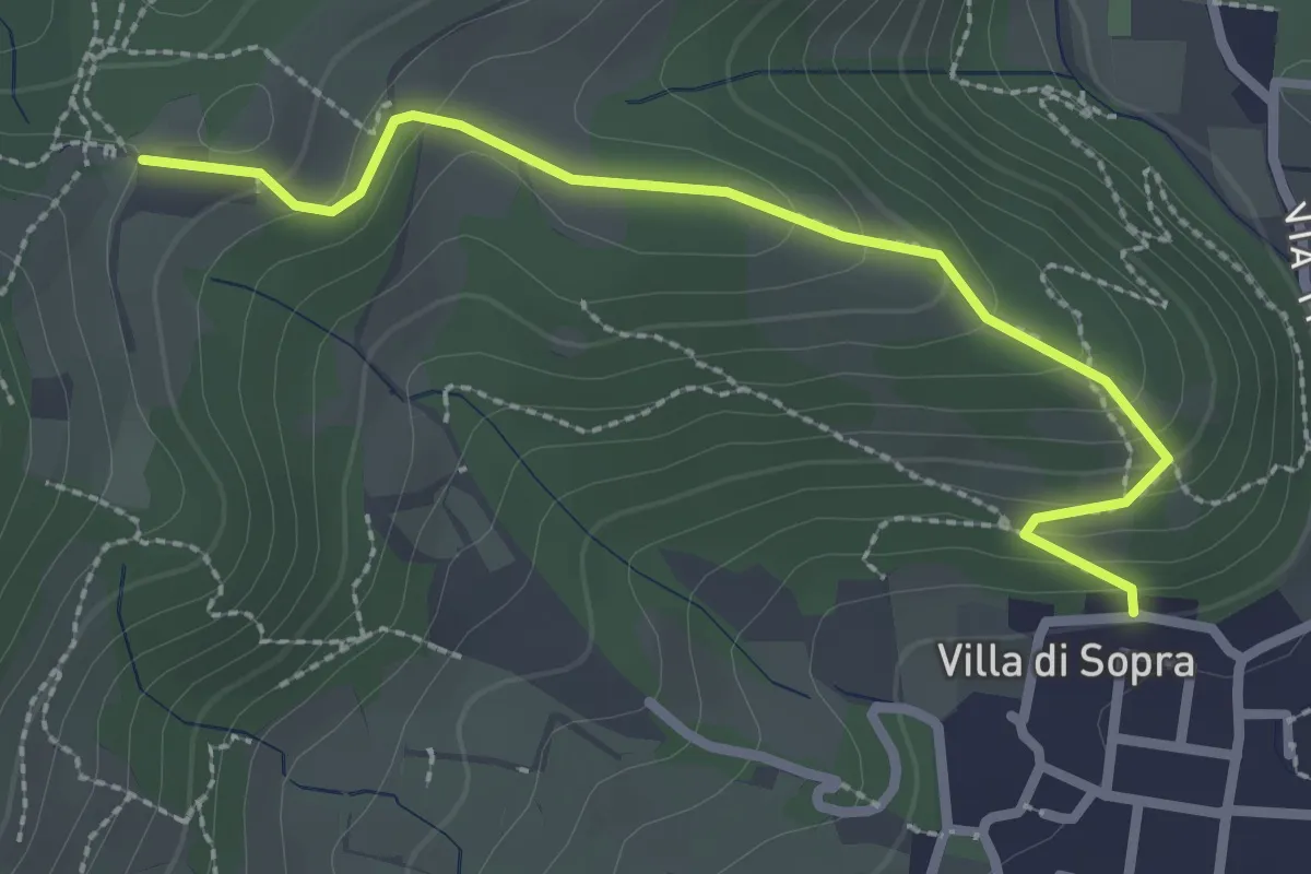
Medium · Trail
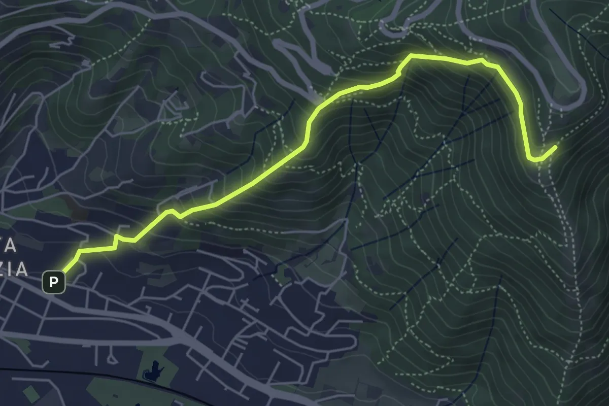
Collebeato (Villa Sopra) – Ex Convento di Santo Stefano
2.7 km · ↑ 146 m · 58 min · 13 km away
Medium · Trail
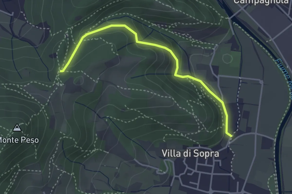
Brescia (Via del Canalotto) – Innesto Sentiero 902
5.7 km · ↑ 532 m · 2 h 29 min · 13 km away
Medium · Trail
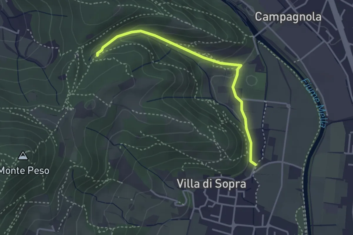
Collebeato (La Noia) – Sella del Madì (Innesto Sentiero 247)
3.5 km · ↑ 192 m · 1 h 15 min · 13 km away
Medium · Trail
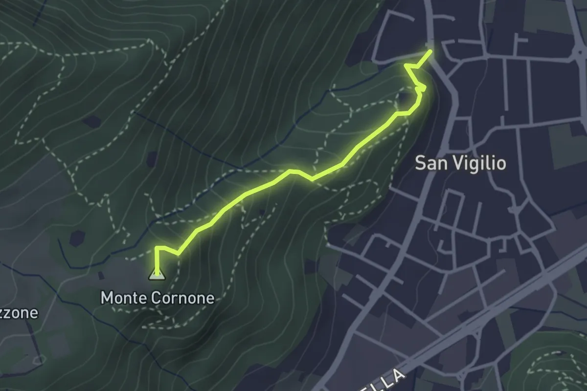
Collebeato (La Noia) – Monte Zuccolotto (Innesto Sentiero 248)
3.3 km · ↑ 135 m · 1 h 4 min · 13 km away
Medium · Summit
Concesio (San Vigilio) - Quarone di Sopra
2.6 km · ↑ 259 m · 1 h 11 min · 13 km away
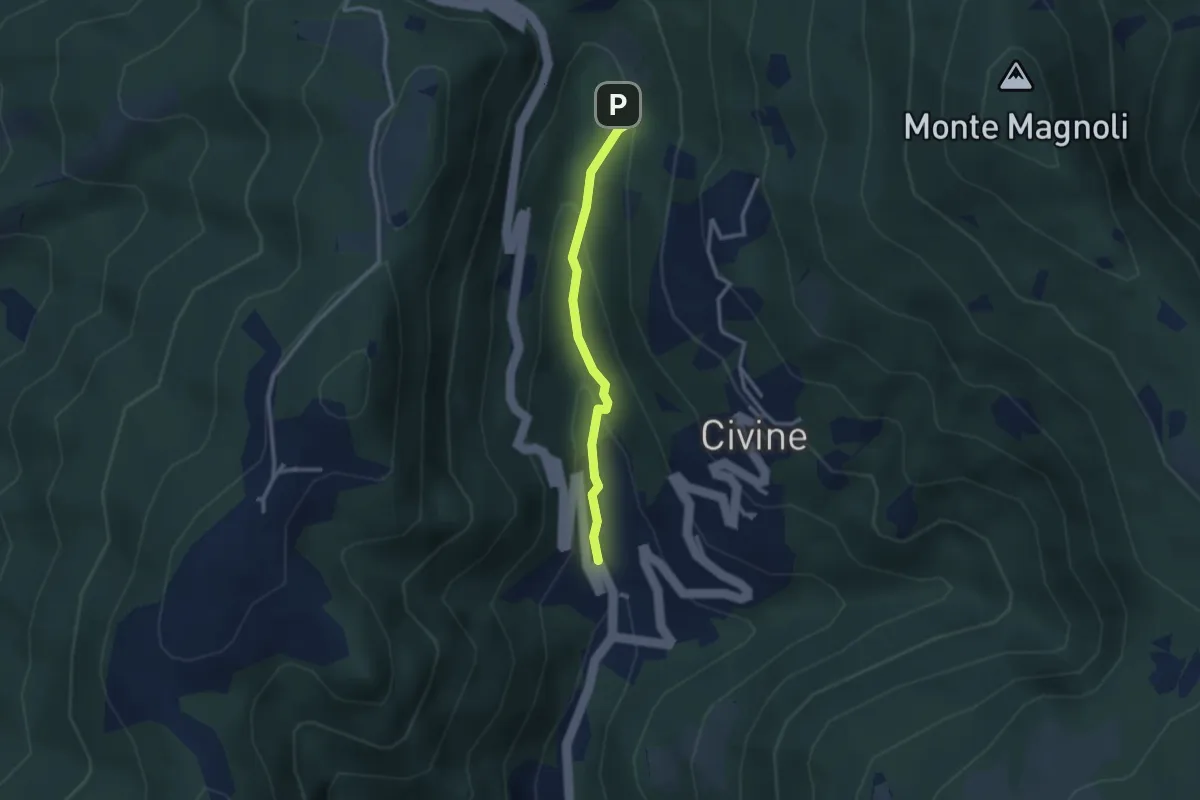
Medium · Trail
Sentiero Battista e Nicolina Drera
2.5 km · ↑ 124 m · 51 min · 13 km away
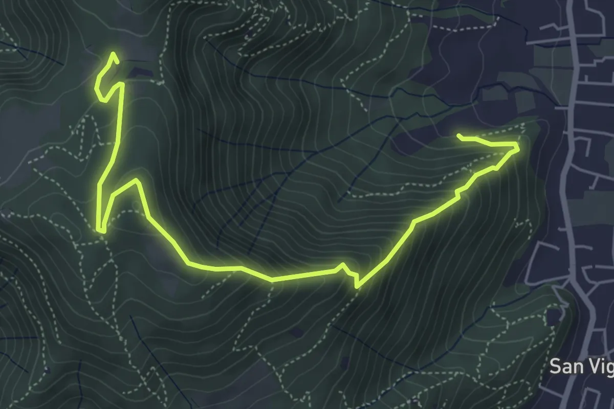
Medium · Trail
Concesio (Via Mandò) - Costa - Quarone di Sopra
6.6 km · ↑ 592 m · 2 h 50 min · 13 km away
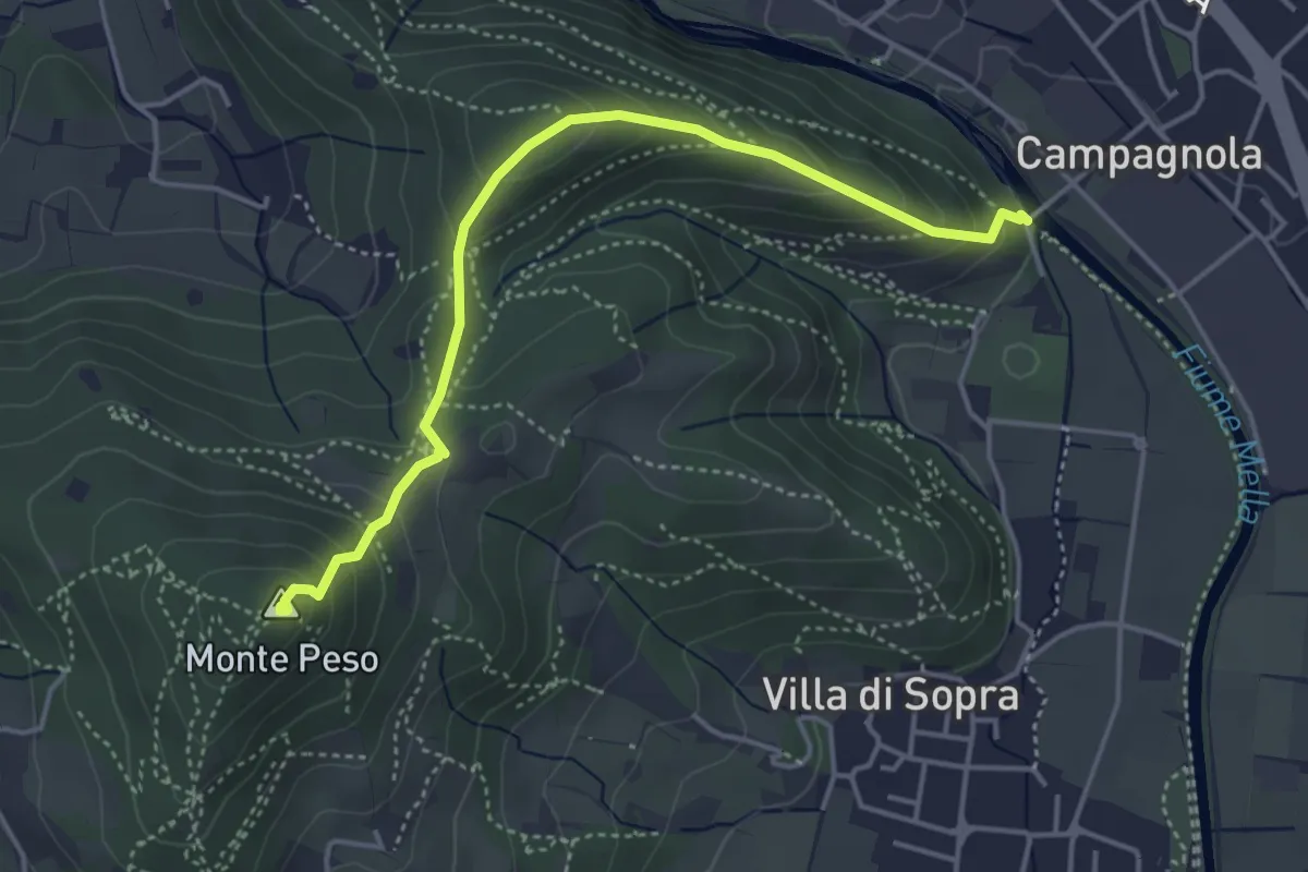
Demanding · Summit
Collebeato (Le Bocche) – Monte Peso
4.4 km · ↑ 346 m · 1 h 48 min · 13 km away
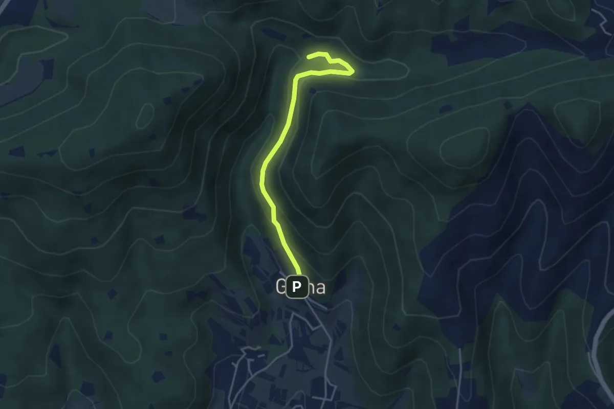
Medium · Trail
Sentiero delle Cascate - Variante B
3.6 km · ↑ 217 m · 1 h 20 min · 13 km away
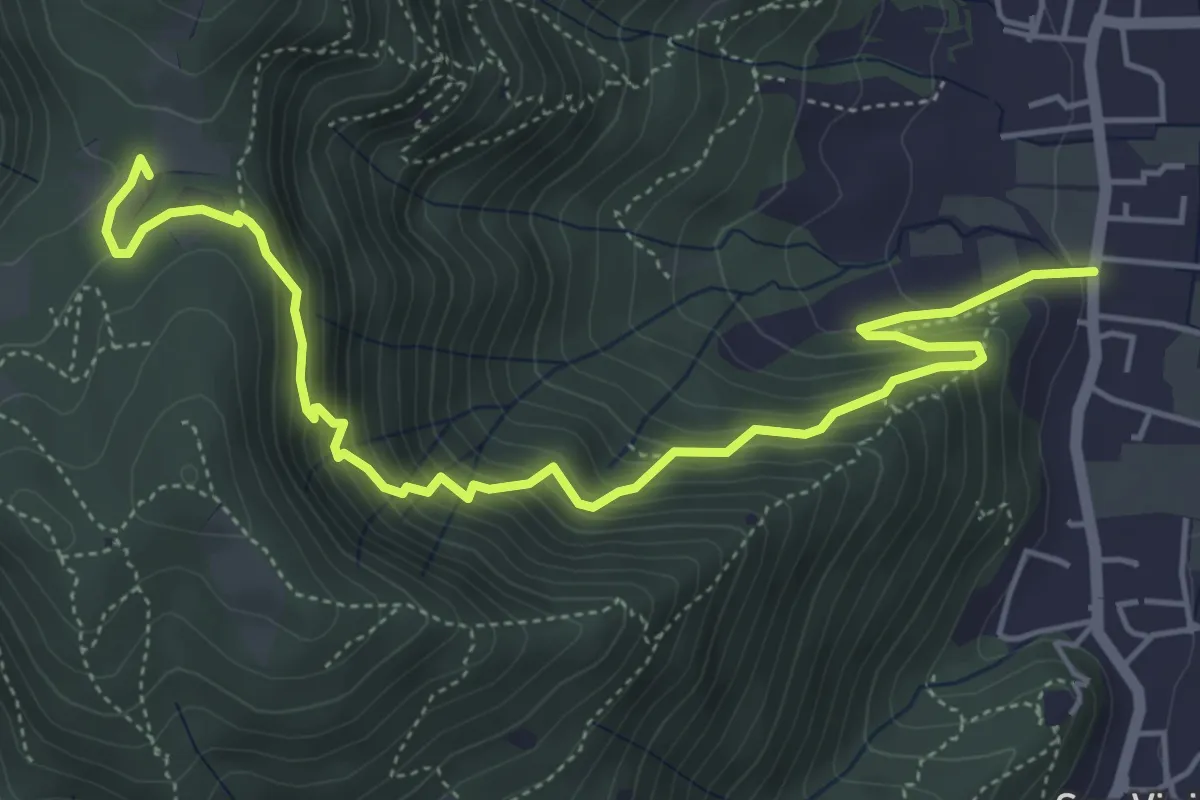
Medium · Trail
Concesio (Via Mandò) - Quarone di Sopra
6.2 km · ↑ 571 m · 2 h 42 min · 14 km away
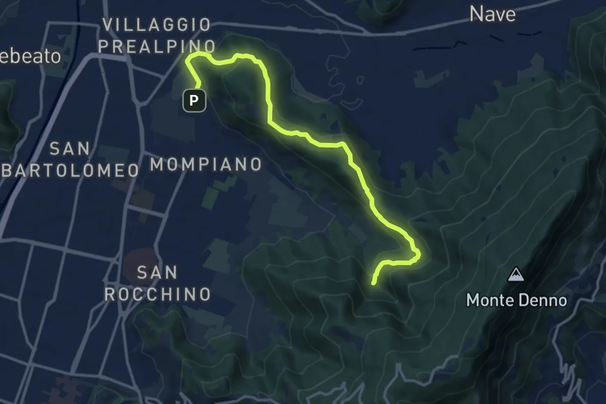
Medium · Cabin
Brescia (Via San Cristoforo) – Rifugio Valle di Mompiano
12.0 km · ↑ 345 m · 3 h 35 min · 14 km away
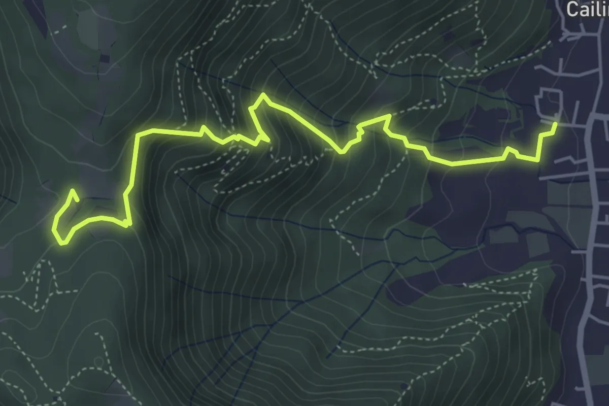
Medium · Trail
Villa Carcina (Cailina) – Quarone
5.7 km · ↑ 534 m · 2 h 30 min · 14 km away
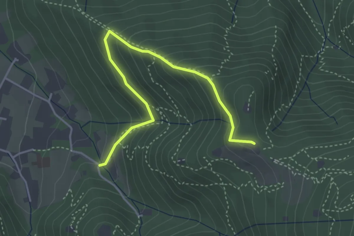
Medium · Trail
Brescia (Costalunga - Via Monte della Valle) – Monte Maddalena (Cascina Margherita - Innesto Sentiero 907)
4.0 km · ↑ 301 m · 1 h 36 min · 14 km away
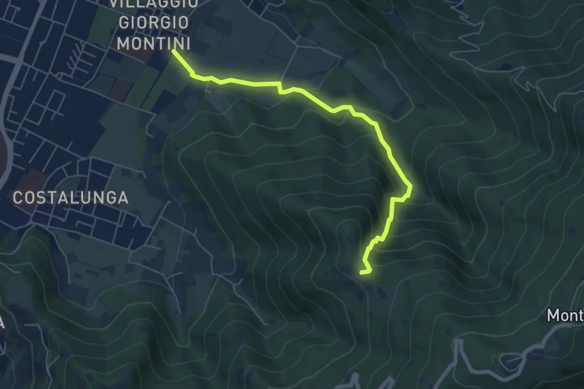
Medium · Trail
Brescia (Mompiano - Via Egidio Dabbeni) – Cascina Margherita
5.8 km · ↑ 398 m · 2 h 14 min · 14 km away
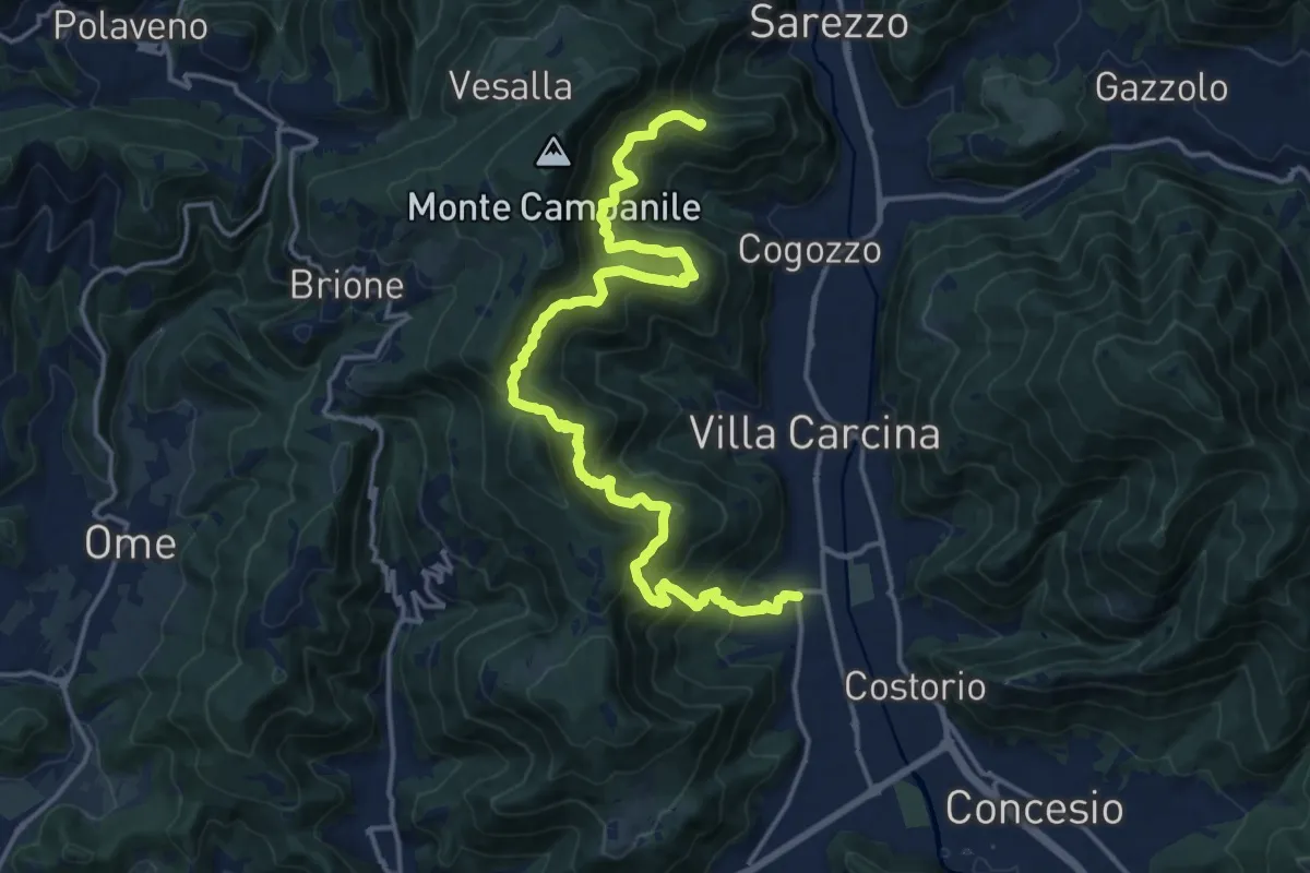
Demanding · Summit
Sentiero n° 1
19.4 km · ↑ 1506 m · 7 h 50 min · 14 km away
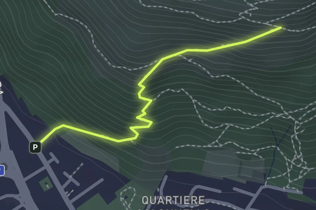
Medium · Cabin
Concesio (Vicolo Verdura) - Monte Verdura (Innesto Sentiero da Pieve)
2.1 km · ↑ 271 m · 1 h 5 min · 14 km away
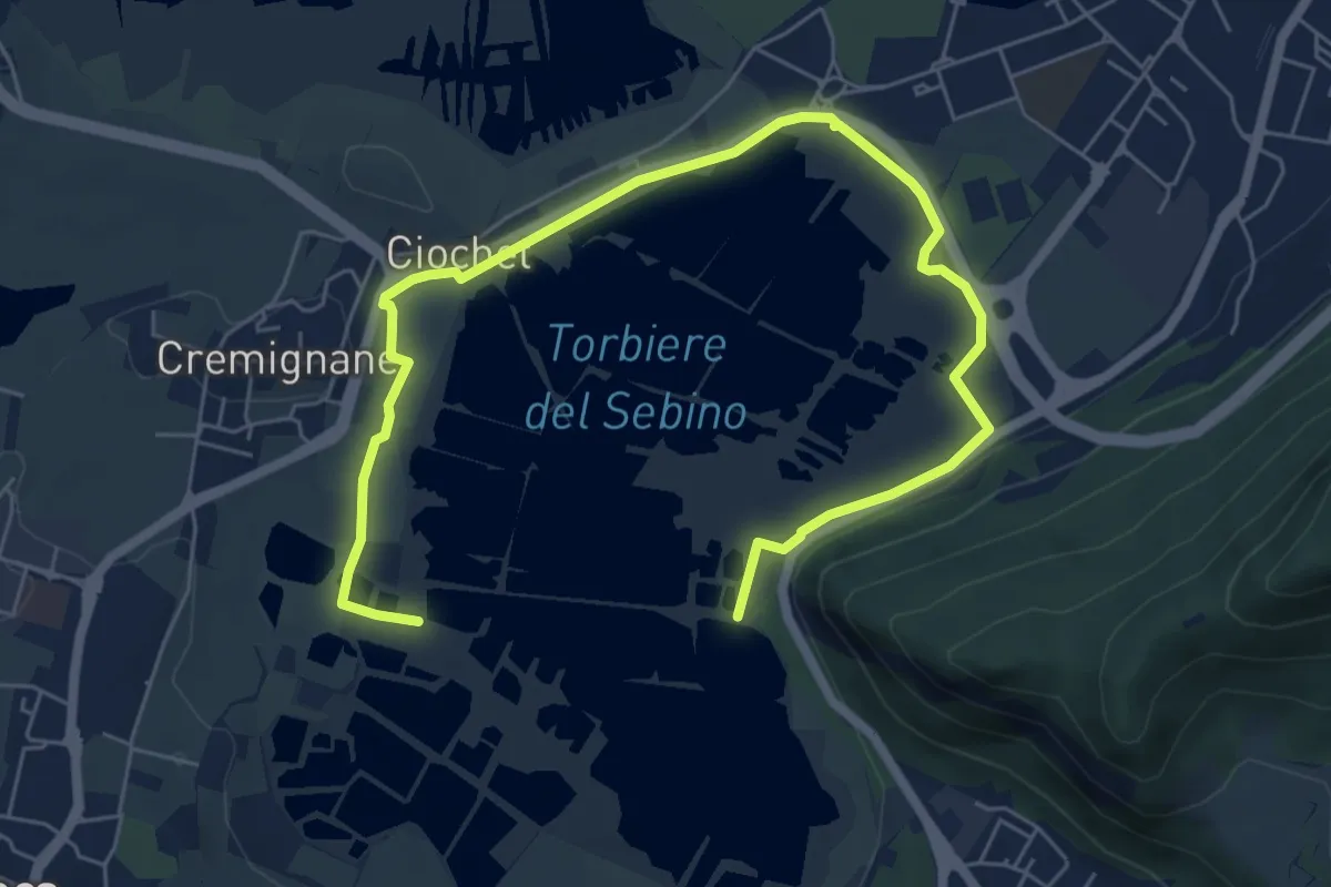
Medium · Trail
Percorso Pedonale Nord
8.5 km · ↑ 18 m · 2 h 3 min · 14 km away
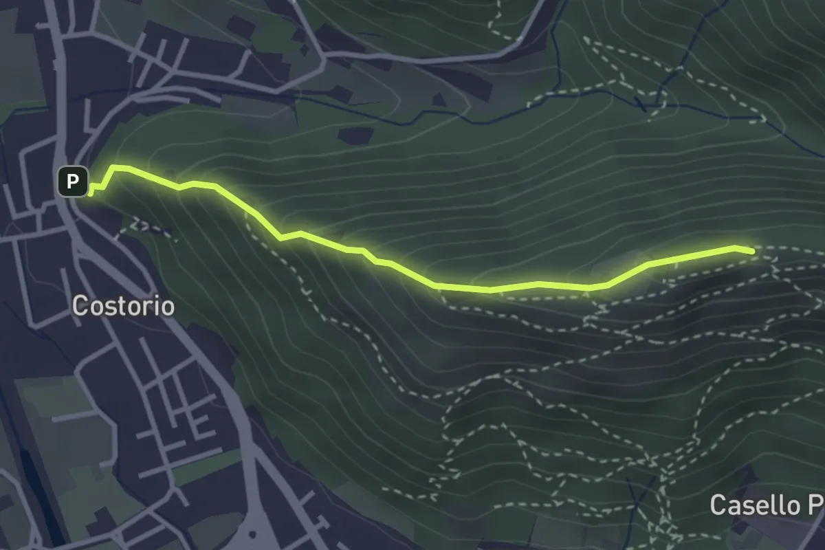
Medium · Summit
Concesio (Costorio) - Grassi Carpini
3.0 km · ↑ 329 m · 1 h 25 min · 14 km away
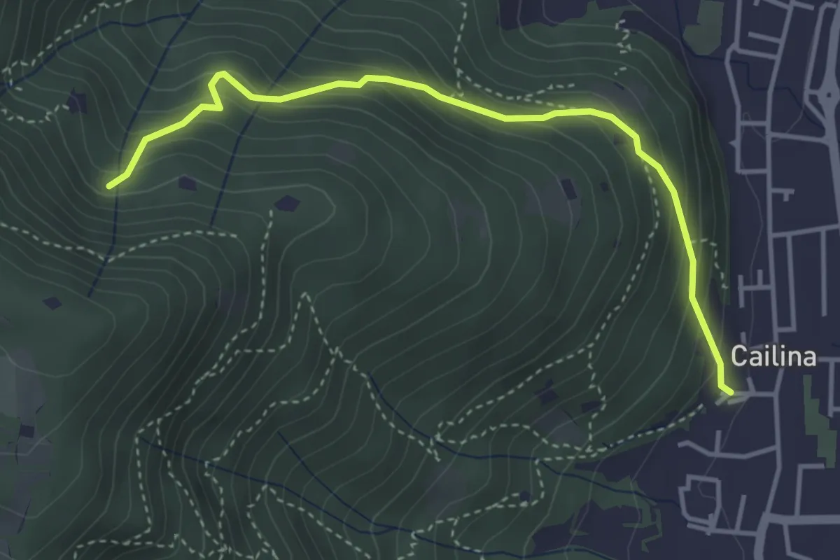
Medium · Trail
Villa Carcina (Cailina) – Roccolo del Prete
4.0 km · ↑ 379 m · 1 h 45 min · 14 km away
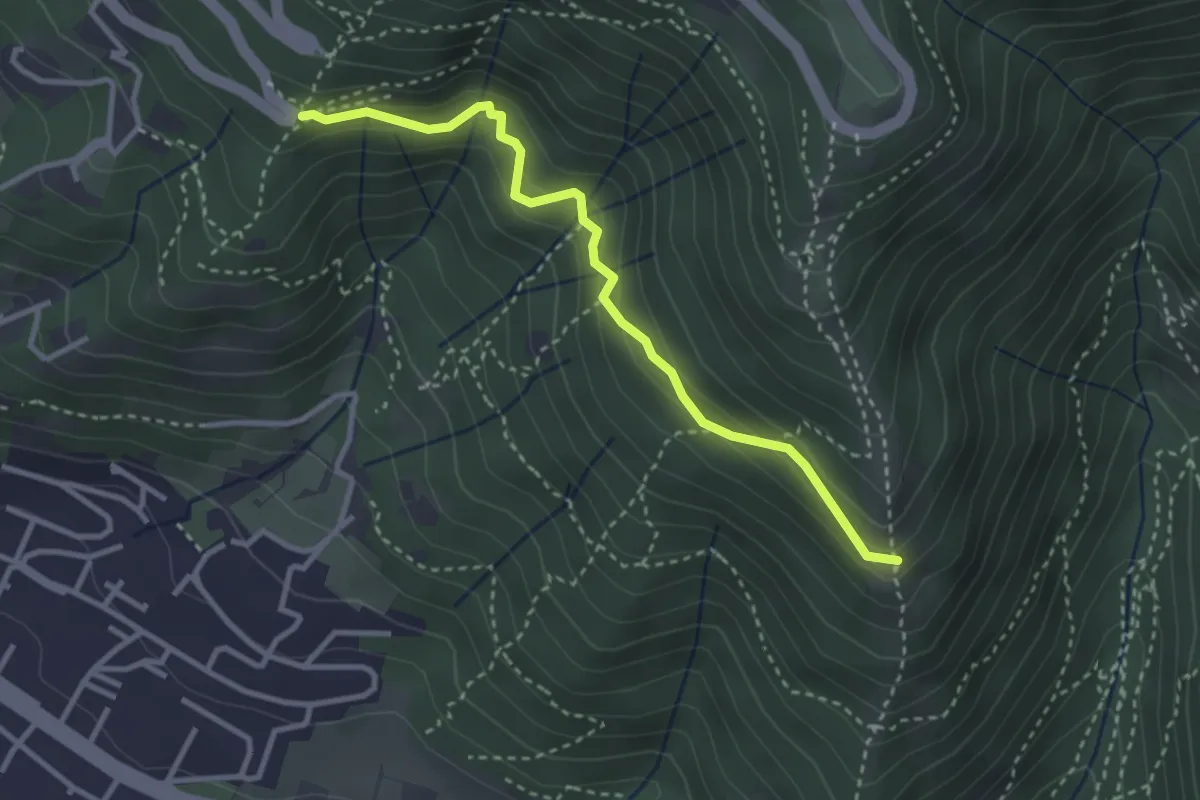
Medium · Trail
Innesto sentiero n. 902 – Innesto sentiero3V n.993
3.2 km · ↑ 233 m · 1 h 16 min · 14 km away
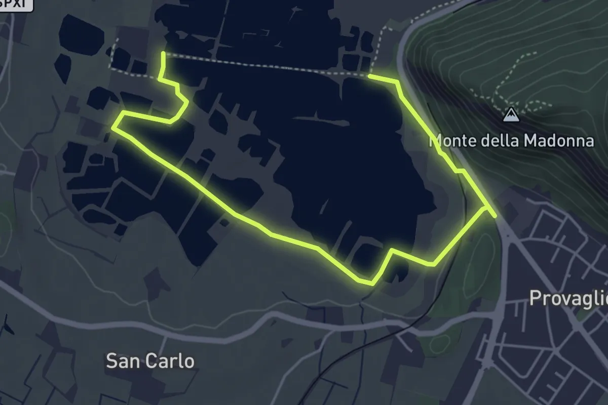
Easy · Trail
Percorso Pedonale Sud
6.4 km · ↑ 61 m · 1 h 39 min · 14 km away
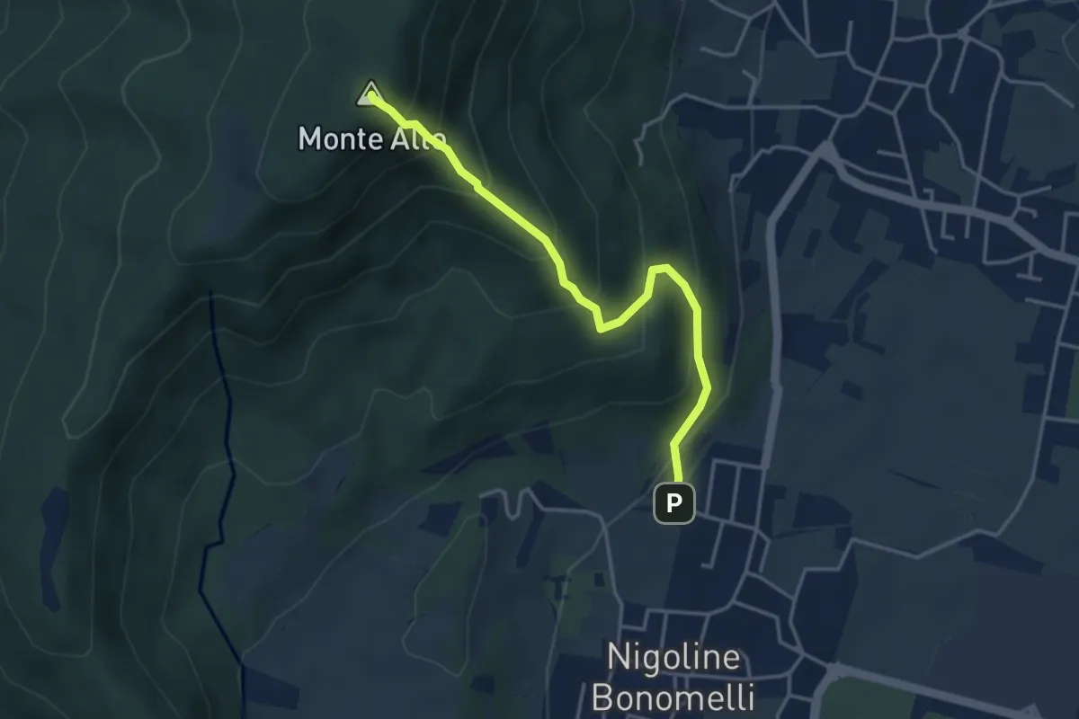
Medium · Summit
Sentiero della Scala Santa
3.7 km · ↑ 398 m · 1 h 44 min · 14 km away
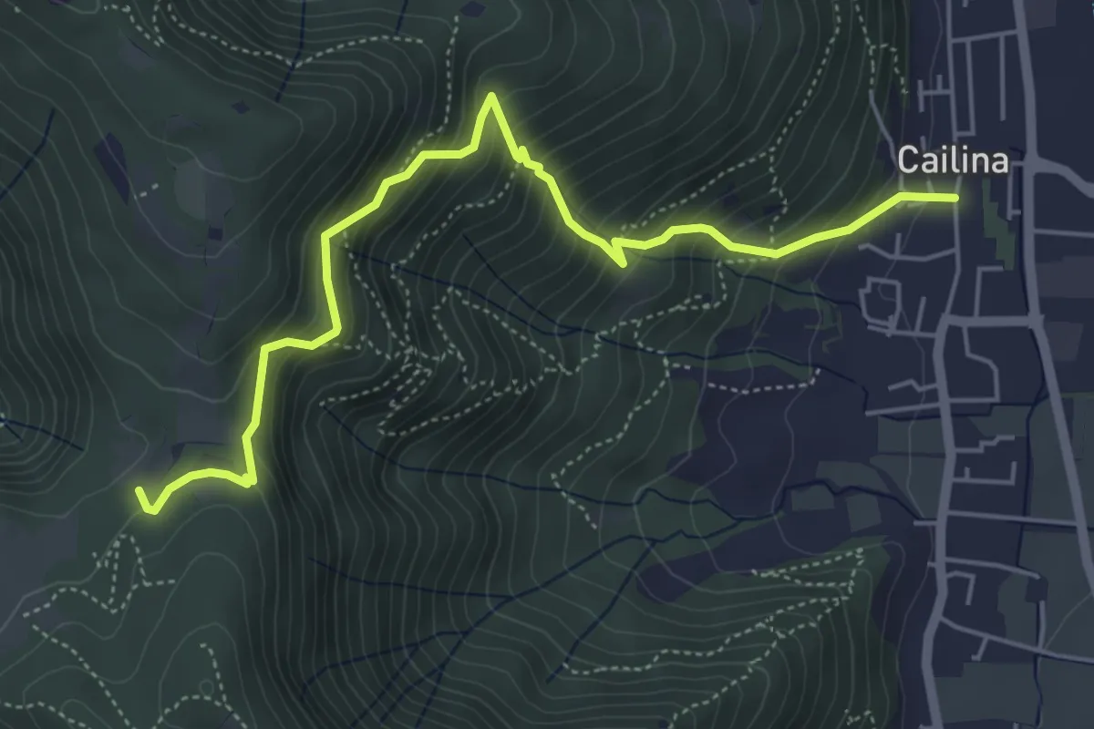
Medium · Trail
Villa Carcina (Cailina) – Quarone
5.8 km · ↑ 607 m · 2 h 42 min · 14 km away
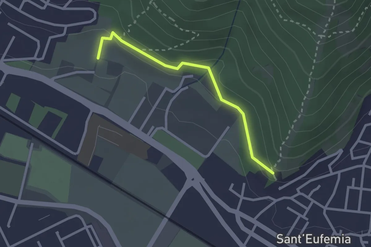
Medium · Trail
Sentiero della Memoria
2.2 km · ↑ 68 m · 39 min · 14 km away
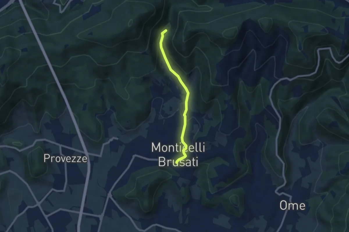
Easy · Trail
Sentiero delle Cascate (Percorso Principale)
5.2 km · ↑ 150 m · 1 h 34 min · 14 km away
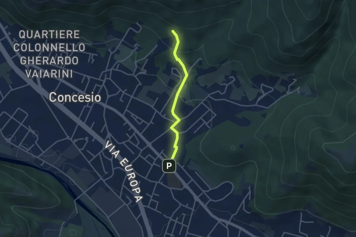
Easy · Trail
Concesio (Sant'Andrea) - Monte Verdura (Innesto Sentiero da Pieve)
2.6 km · ↑ 114 m · 52 min · 14 km away
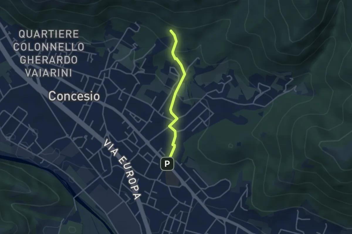
Easy · Trail
Concesio (Sant'Andrea) - Monte Verdura (Innesto Sentiero G)
2.6 km · ↑ 114 m · 52 min · 14 km away
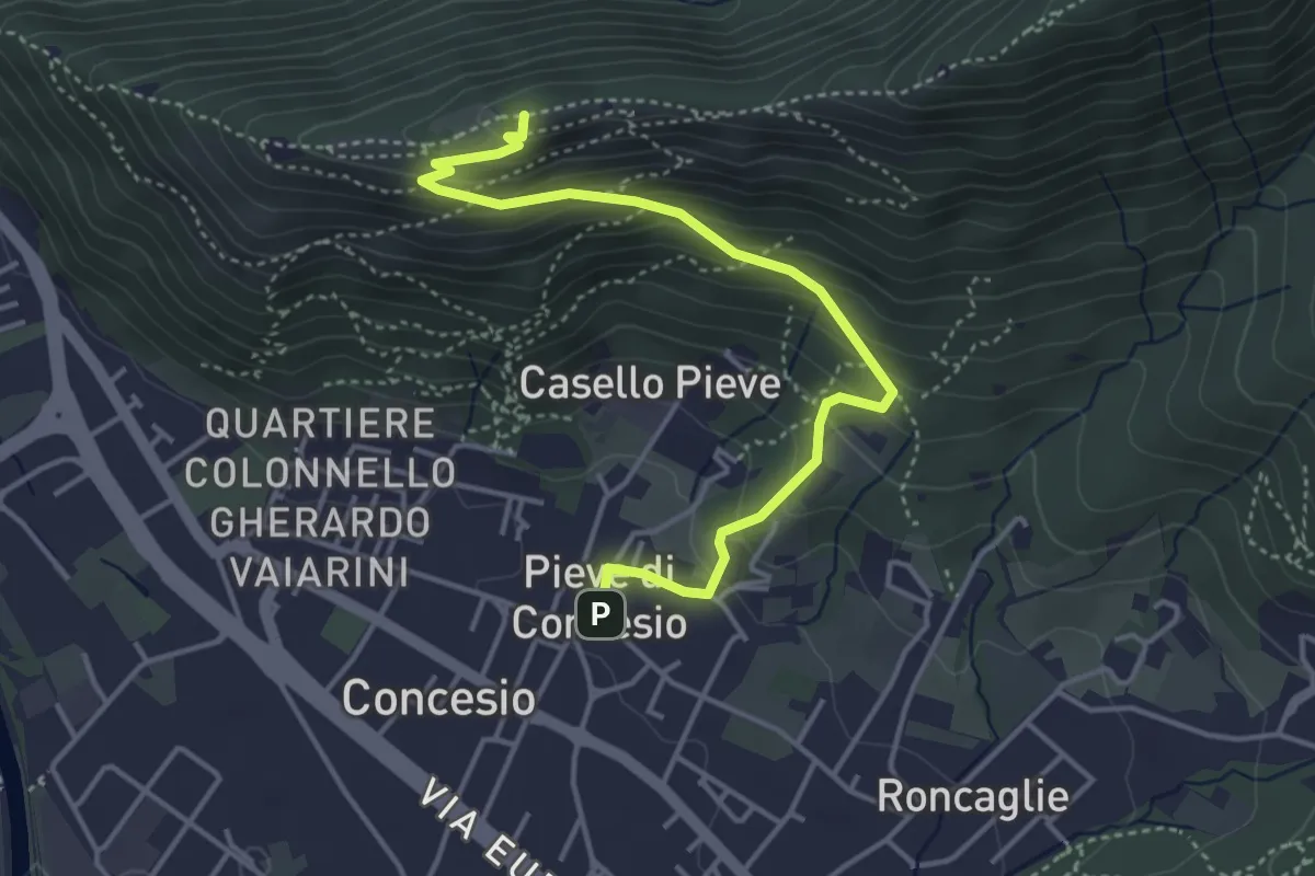
Medium · Cabin
Concesio (Pieve) - Monte Verdura
4.4 km · ↑ 333 m · 1 h 46 min · 14 km away
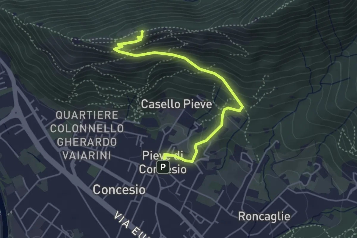
Medium · Cabin
Concesio (Pieve) – Monte Verdura
4.4 km · ↑ 333 m · 1 h 46 min · 14 km away
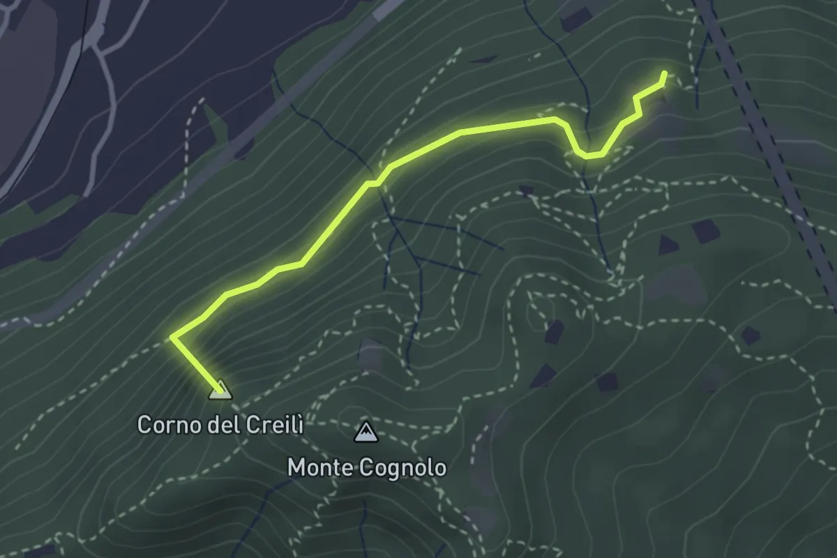
Easy · Summit
Senterù - Sentiero delle Terre Rosse
2.9 km · ↑ 284 m · 1 h 18 min · 14 km away
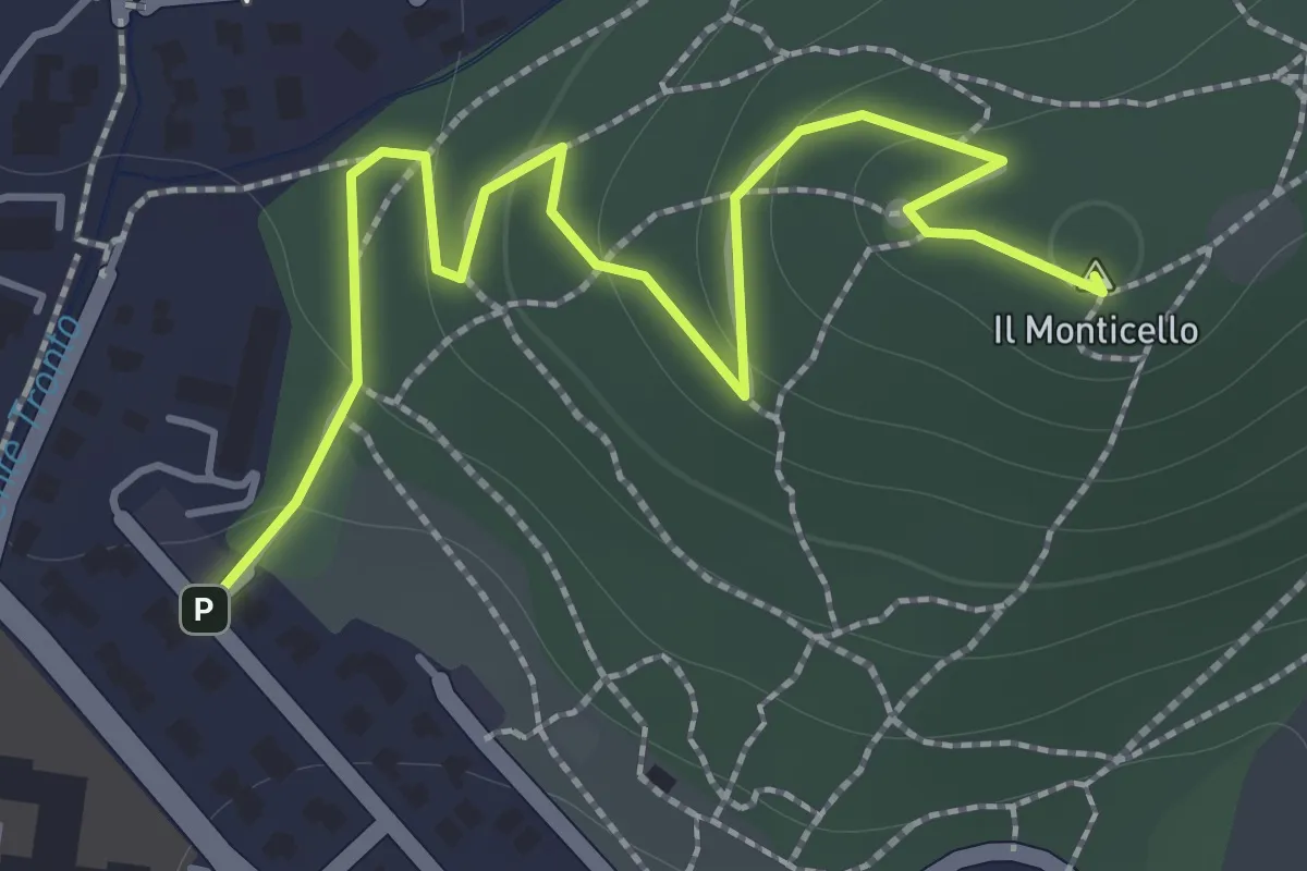
Easy · Summit
Concesio (Monticello) - Sentiero 1
2.0 km · ↑ 76 m · 38 min · 14 km away
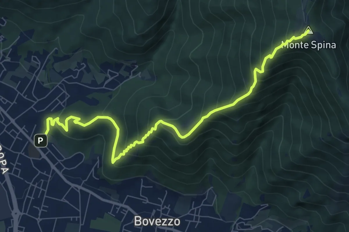
Medium · Summit
Concesio (Sant'Andrea) - Sant'Onofrio
9.4 km · ↑ 736 m · 3 h 48 min · 14 km away
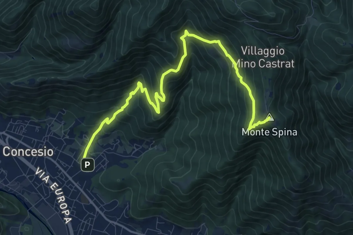
Demanding · Summit
Concesio (Roncaglie) - Sant'Onofrio
13.1 km · ↑ 861 m · 4 h 57 min · 15 km away
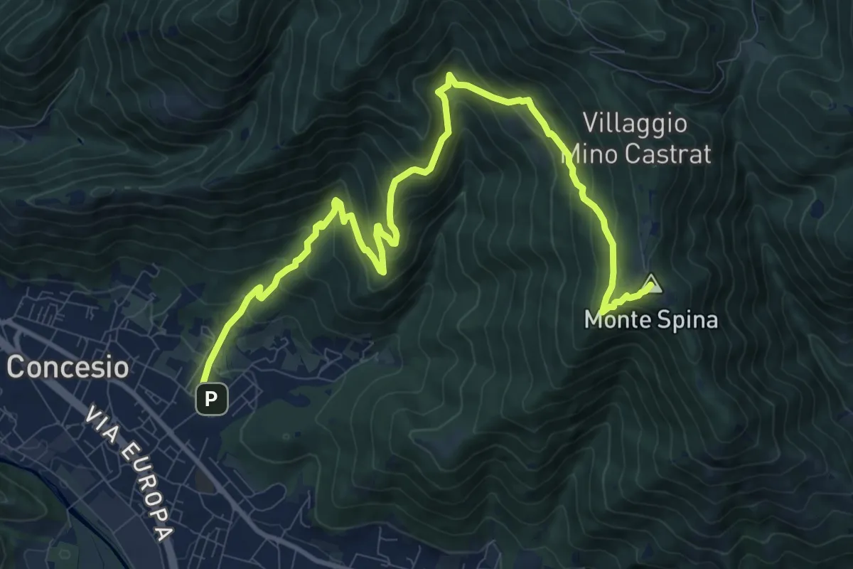
Demanding · Summit
Concesio (Roncaglie - Via Cadizzone) – Sant'Onofrio
13.1 km · ↑ 861 m · 4 h 57 min · 15 km away
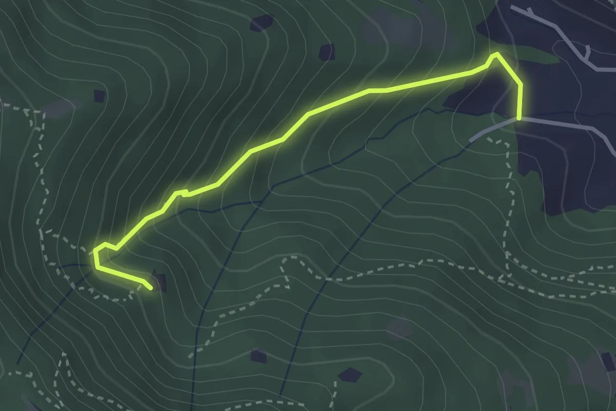
Medium · Trail
Villa Carcina (Villa) - Roccolo del Prete
2.9 km · ↑ 320 m · 1 h 23 min · 15 km away
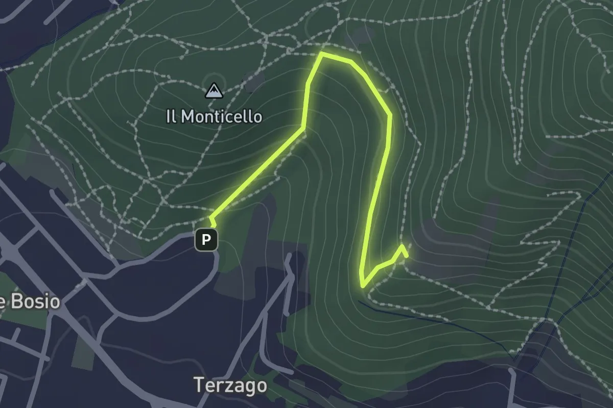
Medium · Trail
Sentiero del Marrone (Variante Concesio)
2.2 km · ↑ 137 m · 49 min · 15 km away
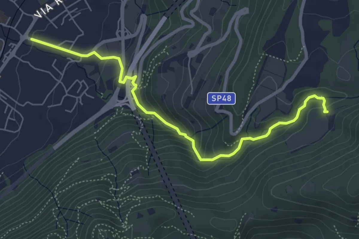
Medium · Trail
Sentér del Gat
5.9 km · ↑ 306 m · 2 h 4 min · 15 km away
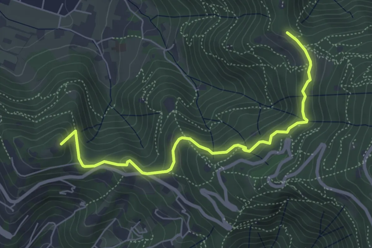
Medium · Summit
Brescia (Via del Goletto) – Cascina Margherita
5.9 km · ↑ 306 m · 2 h 3 min · 15 km away
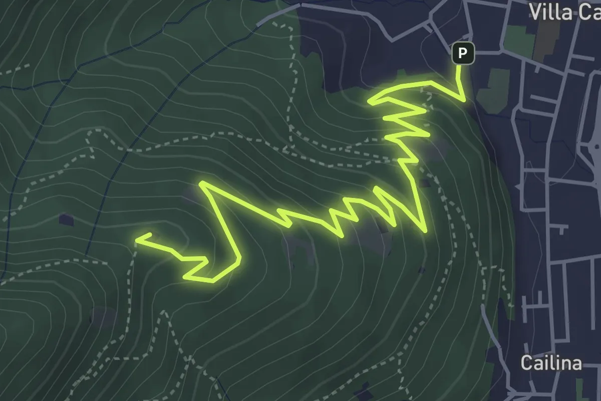
Medium · Summit
Villa Carcina – Sella dell'Oca
6.1 km · ↑ 364 m · 2 h 14 min · 15 km away
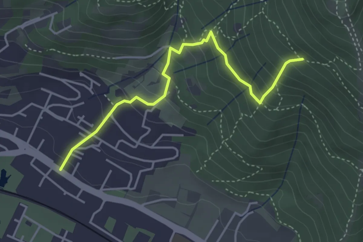
Medium · Trail
Brescia (Viale della Bornata) – Innesto Sentiero 912
3.9 km · ↑ 337 m · 1 h 39 min · 15 km away
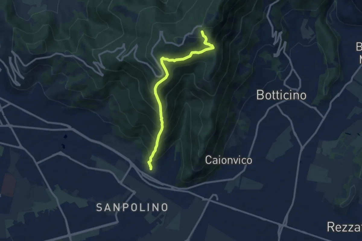
Demanding · Trail
Brescia (Via del Triinale) – Chiesetta della Maddalena
7.4 km · ↑ 760 m · 3 h 24 min · 15 km away
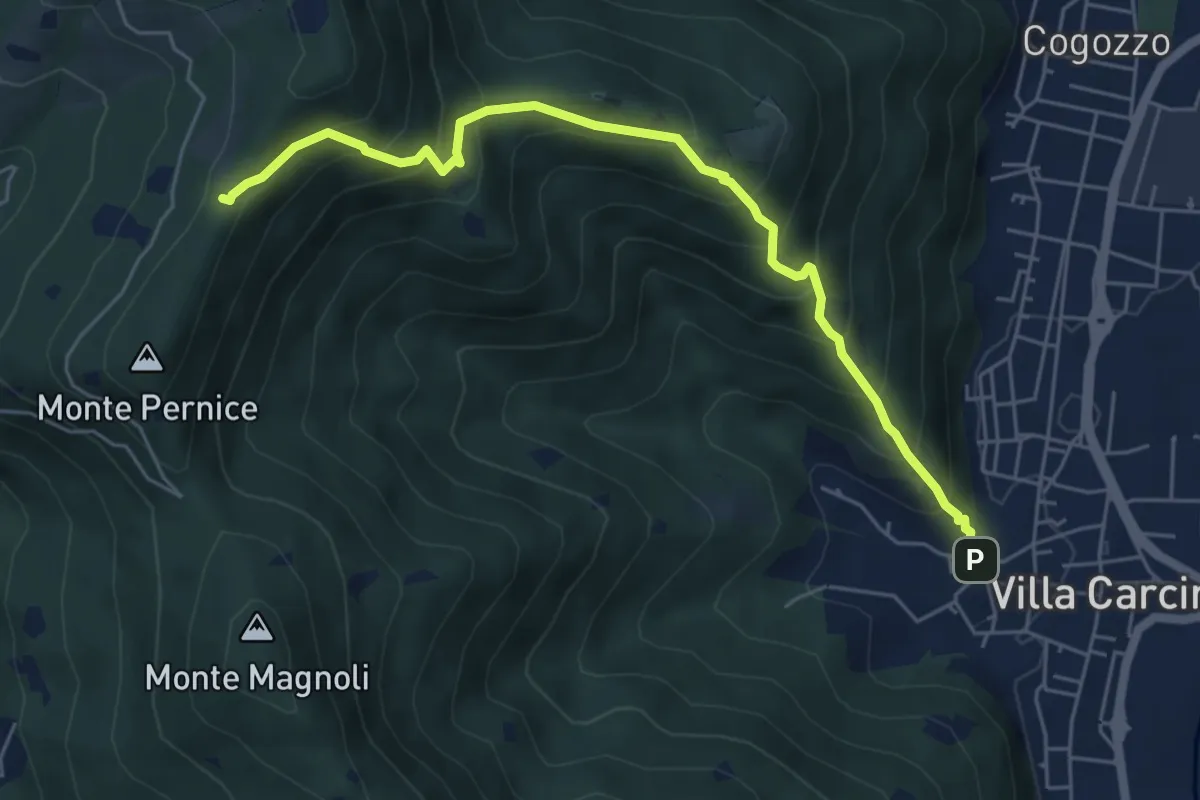
Medium · Trail
Sentiero Domenico Cancarini e Antonio Giubileo
6.1 km · ↑ 617 m · 2 h 46 min · 15 km away
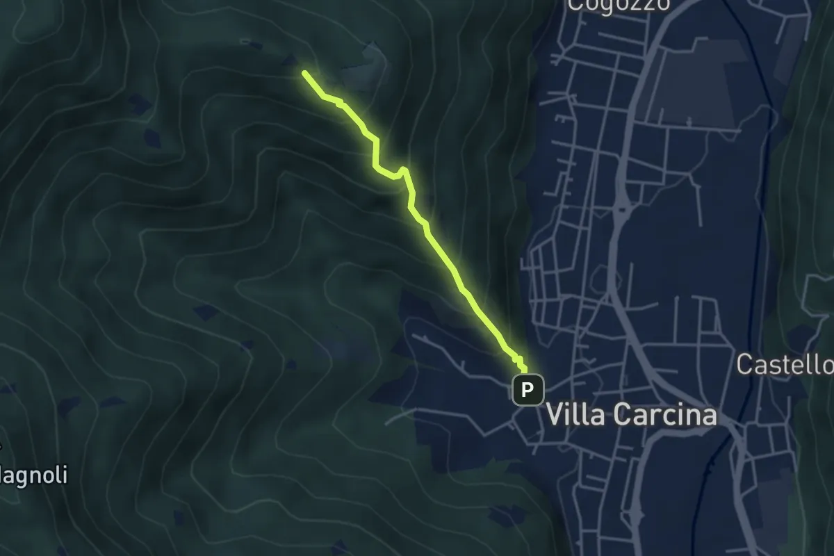
Medium · Trail
Villa Carcina - Campo Lupo
3.1 km · ↑ 389 m · 1 h 34 min · 15 km away
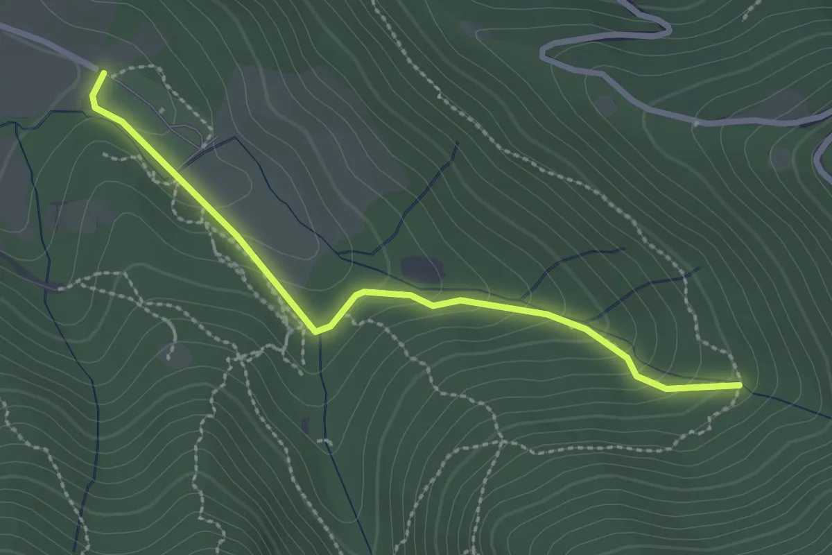
Easy · Trail
Sentiero Val Persane
2.6 km · ↑ 152 m · 57 min · 15 km away
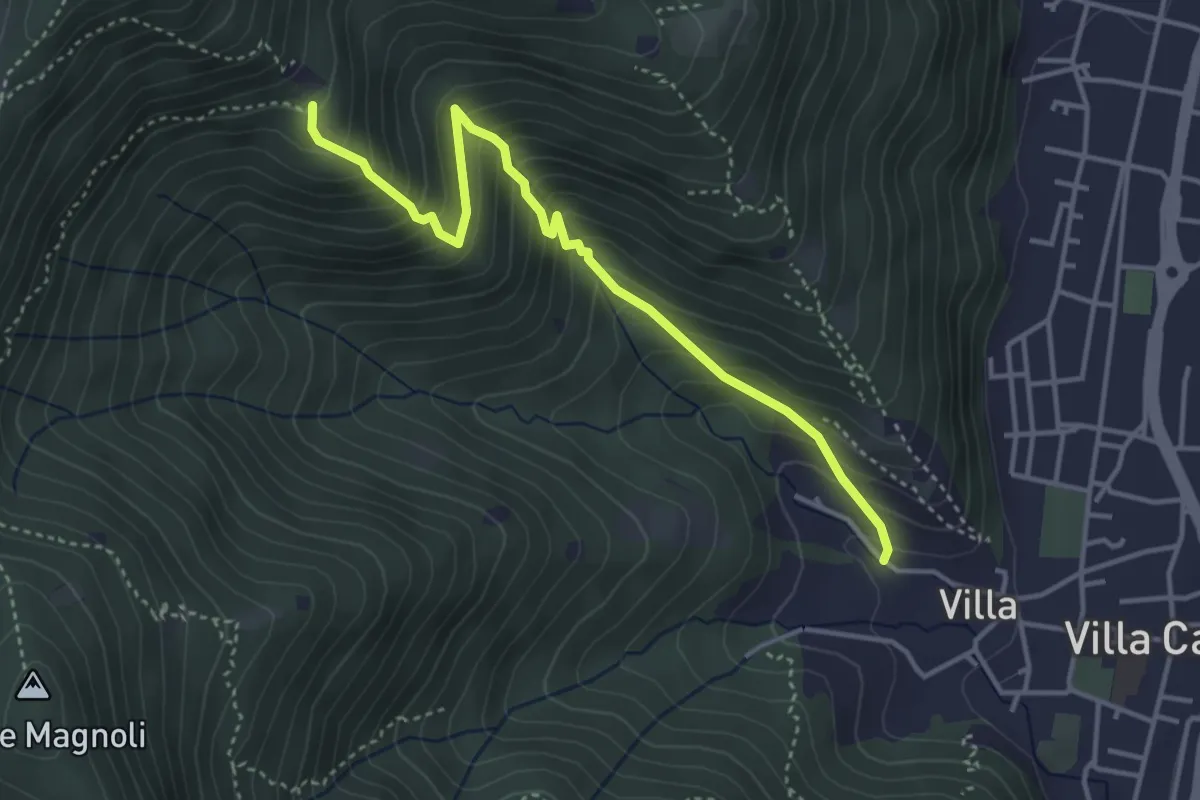
Medium · Trail
Villa Carcina (Villa) - Büs del Torcol
4.2 km · ↑ 438 m · 1 h 56 min · 15 km away