Trails near Treviolo
85 hikes starting within 15 km, nearest first.
Nearest first, page 2 of 2
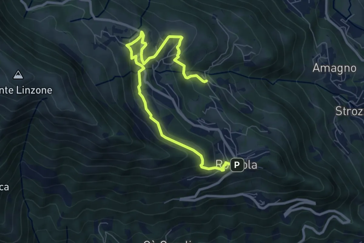
Medium · Trail
Sentiero dell'Acqua
8.4 km · ↑ 438 m · 2 h 56 min · 11 km away
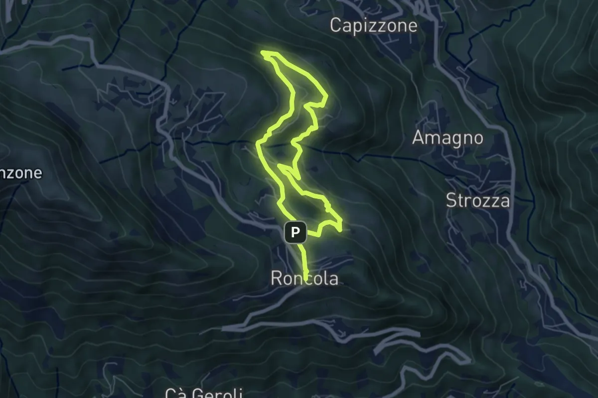
Medium · Trail
Sentiero dei Borghi
9.6 km · ↑ 453 m · 3 h 15 min · 12 km away
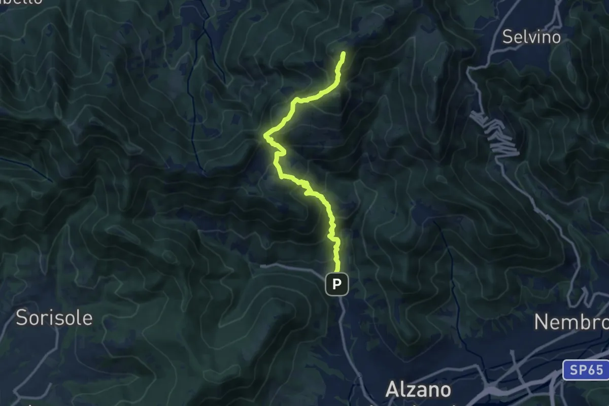
Demanding · Summit
Nese (Alzano Lombardo) – Salmezza (Selvino)
10.7 km · ↑ 906 m · 4 h 30 min · 12 km away
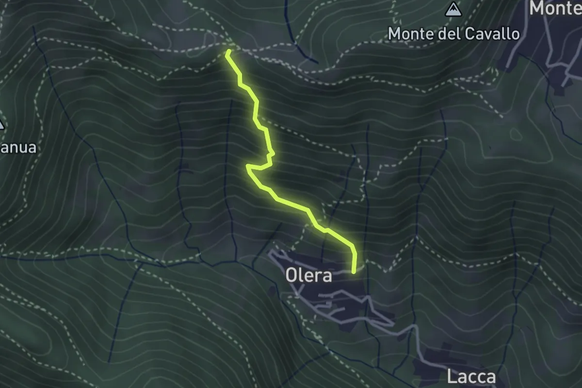
Medium · Trail
Olera (Alzano Lombardo) – Canto Basso
2.3 km · ↑ 347 m · 1 h 18 min · 12 km away
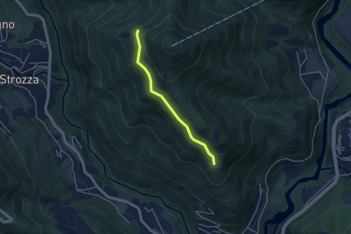
Medium · Trail
Incrocio 571 – Incrocio 584
2.7 km · ↑ 197 m · 1 h 4 min · 12 km away
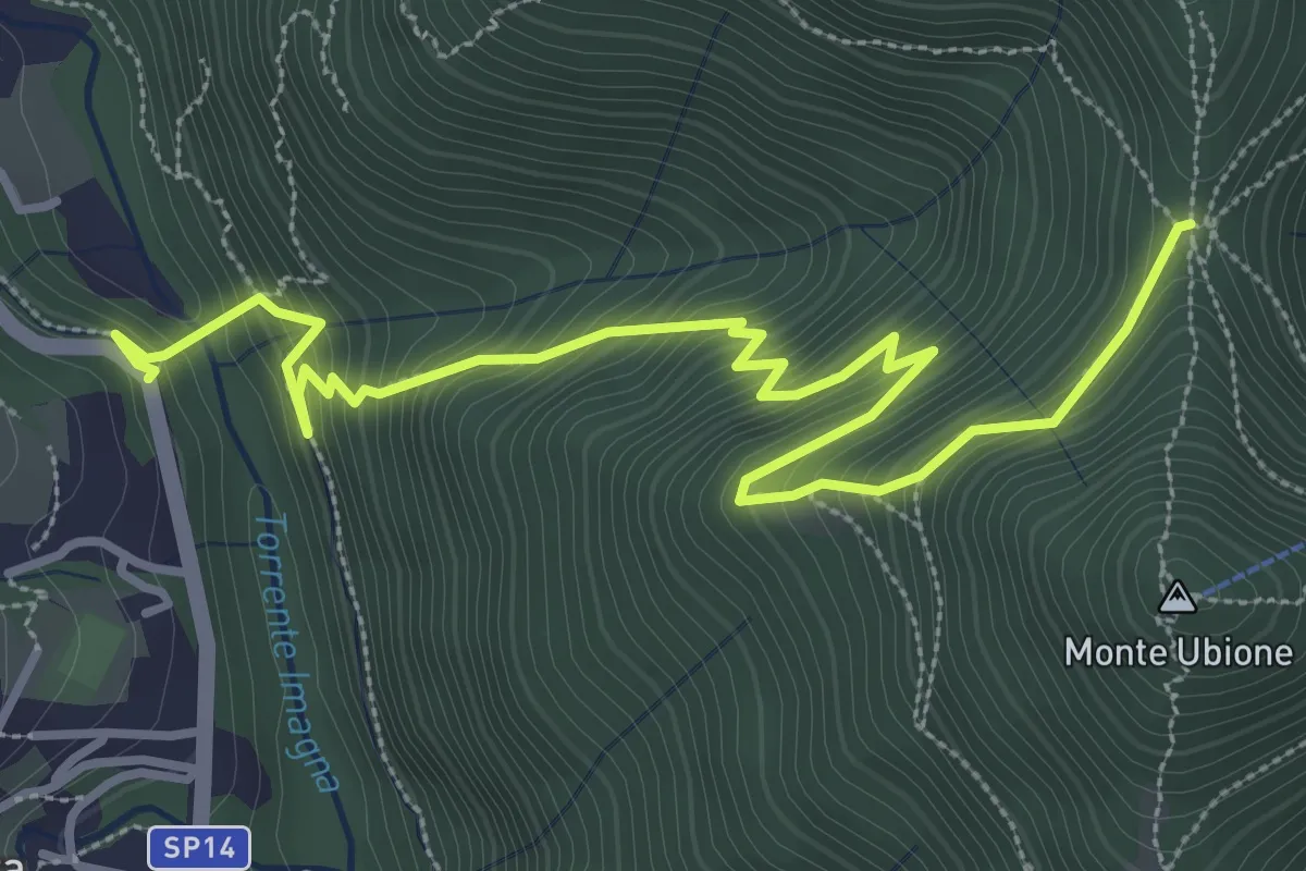
Medium · Trail
Strozza – Roccoli della Passata
4.5 km · ↑ 494 m · 2 h 8 min · 12 km away
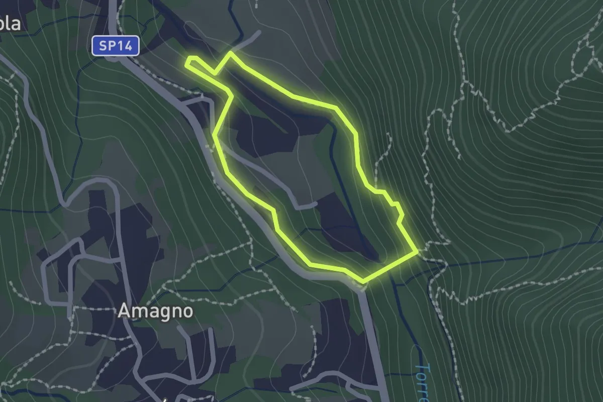
Easy · Trail
Anello del Poscadì
1.5 km · ↑ 62 m · 31 min · 12 km away
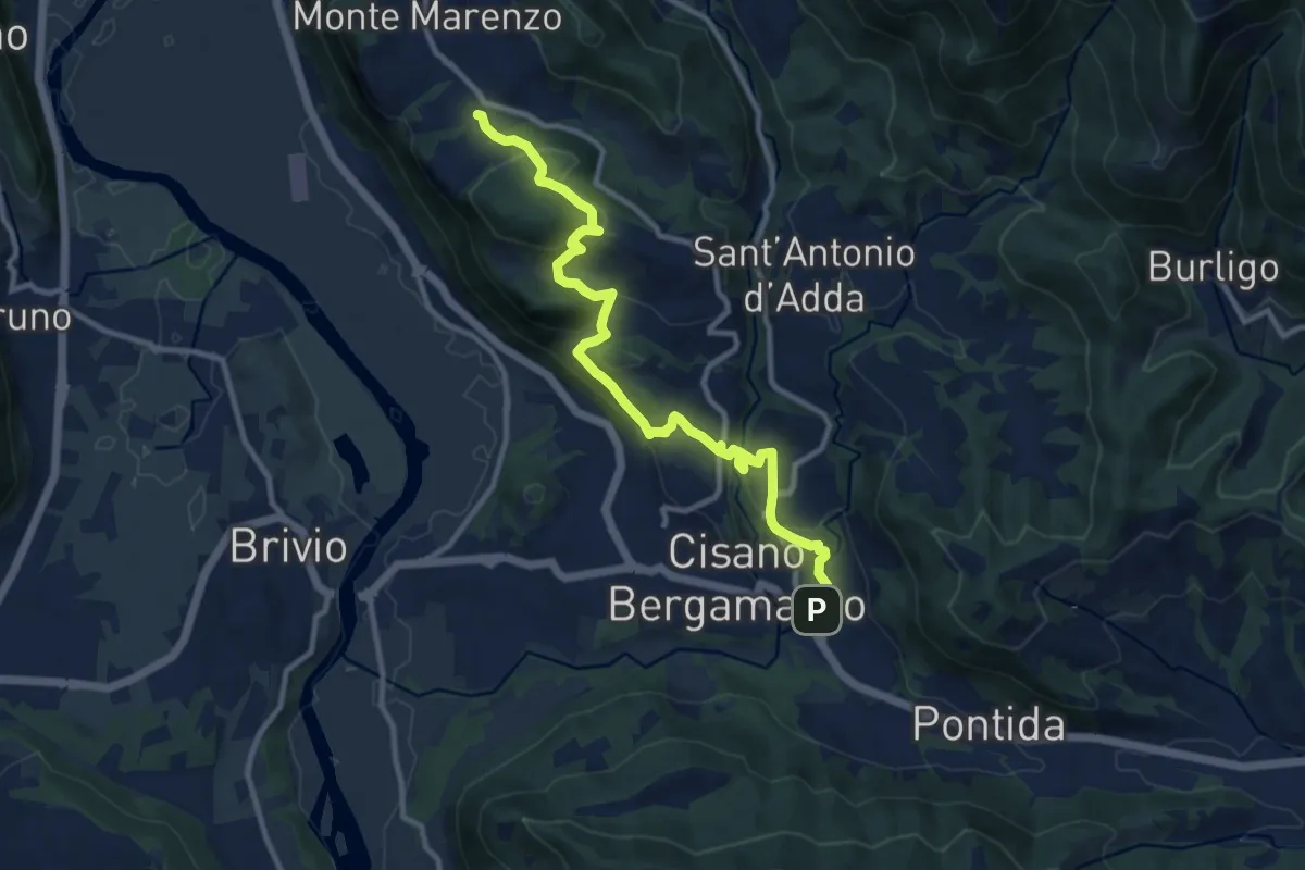
Medium · Trail
Costa (Monte Marenzo) – Cava (Caprino Bergamasco)
11.9 km · ↑ 462 m · 3 h 48 min · 12 km away
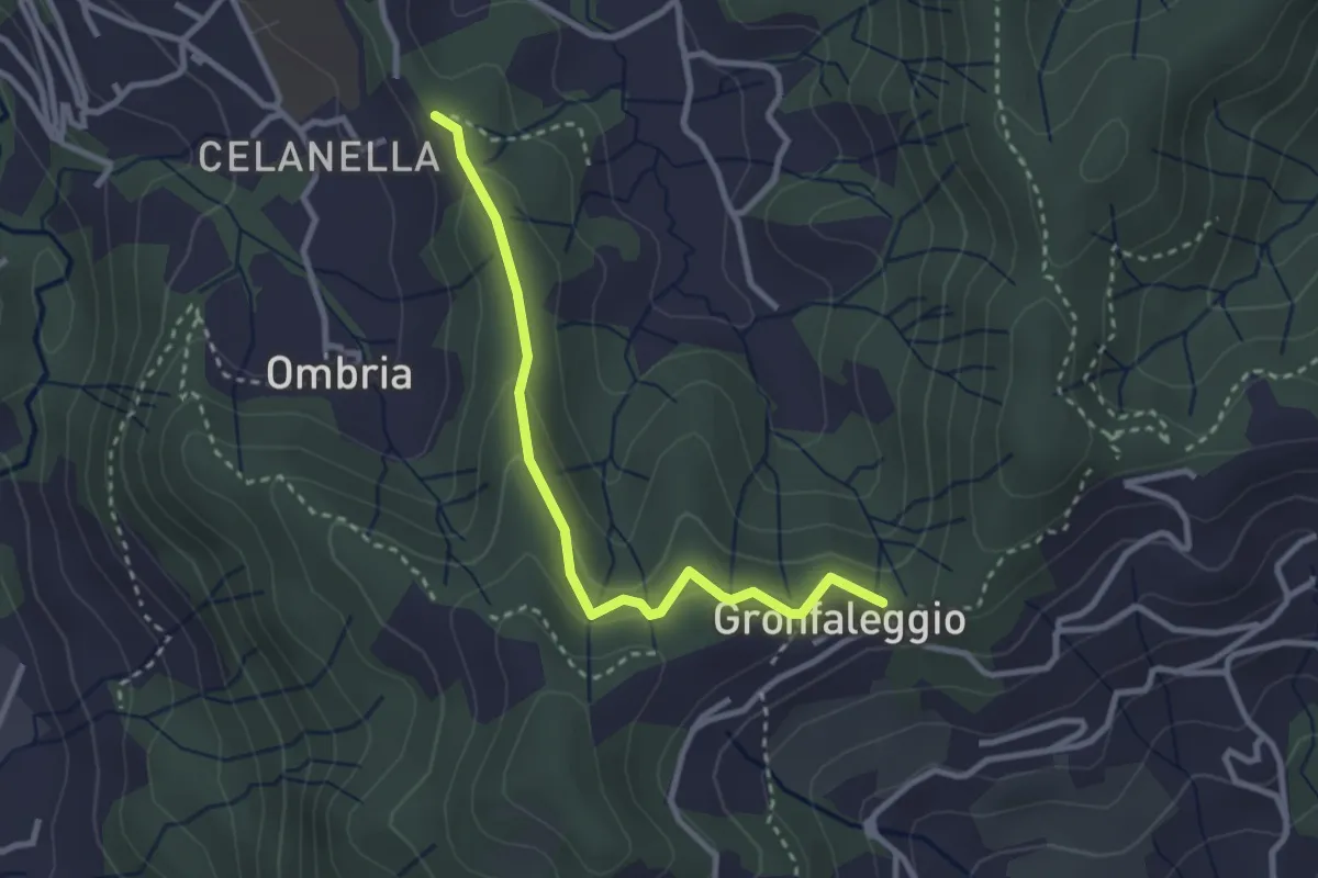
Easy · Trail
Celana – Gronfaleggio
2.9 km · ↑ 126 m · 58 min · 12 km away
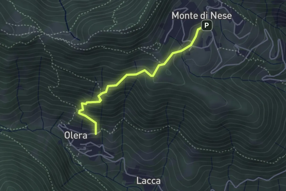
Medium · Trail
Olera (Alzano Lombardo) – Monte di Nese
3.4 km · ↑ 307 m · 1 h 29 min · 13 km away
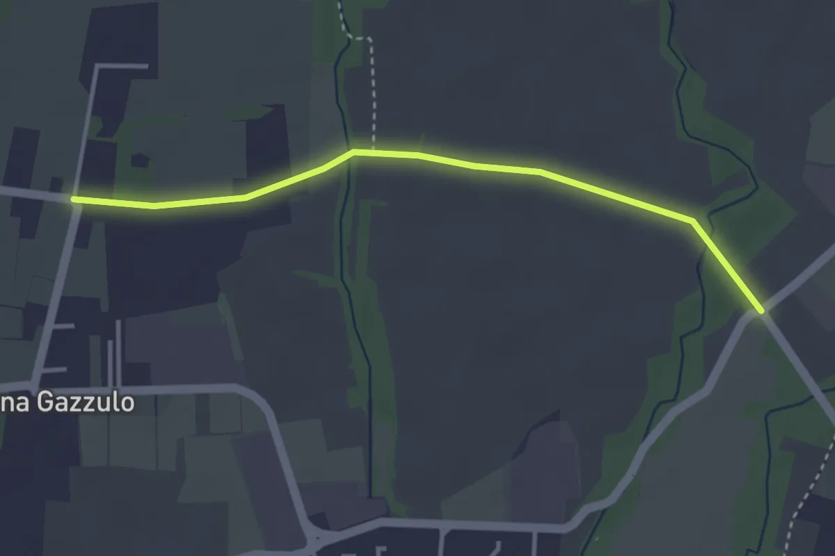
Easy · Trail
Percorso n° 6
3.4 km · ↑ 5 m · 49 min · 13 km away
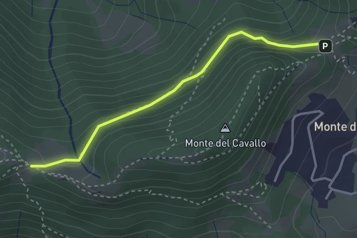
Easy · Trail
Canto Basso – Forcella di Monte di Nese
2.7 km · ↑ 240 m · 1 h 10 min · 13 km away
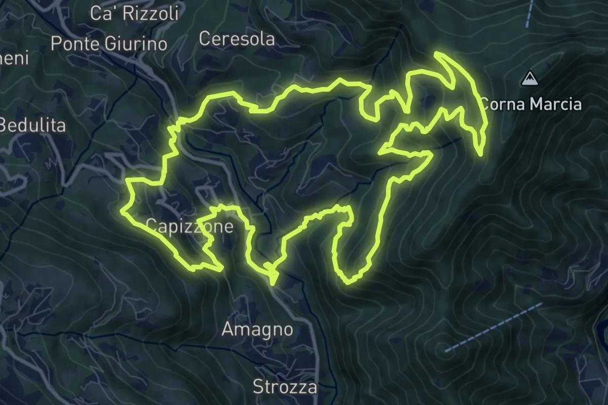
Demanding · Trail
Anello delle Contrade
14.2 km · ↑ 981 m · 5 h 41 min · 13 km away
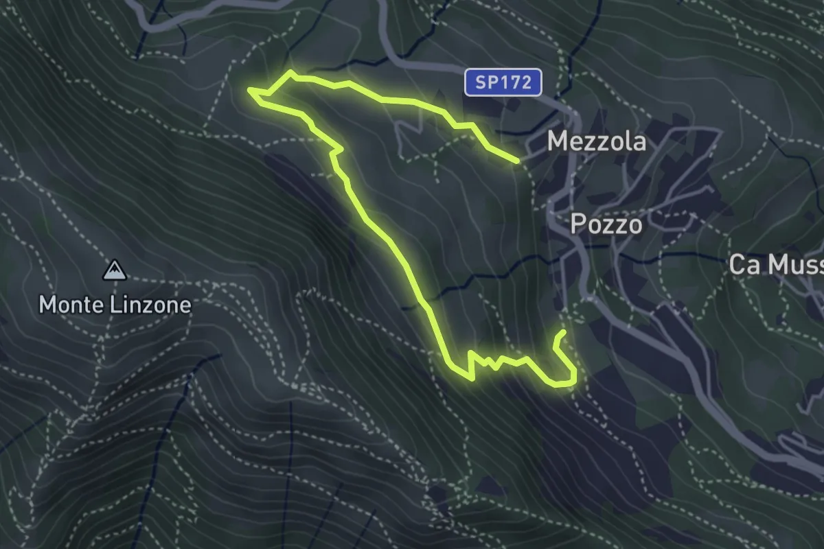
Medium · Trail
Sentiero dei Pascoli
5.2 km · ↑ 310 m · 1 h 54 min · 13 km away
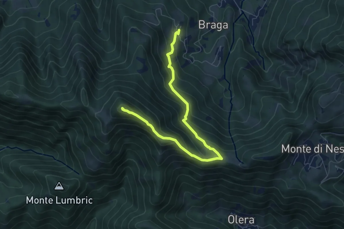
Medium · Summit
Cler (Sedrina) – Ripa (Poscante)
7.8 km · ↑ 573 m · 3 h 4 min · 13 km away
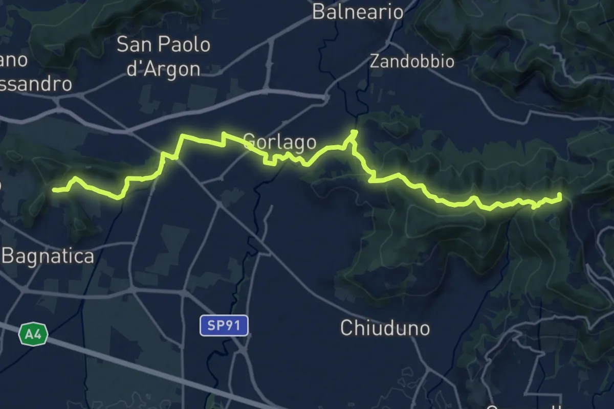
Medium · Summit
La Via delle Sorelle - Tappa 4
11.1 km · ↑ 373 m · 3 h 28 min · 13 km away
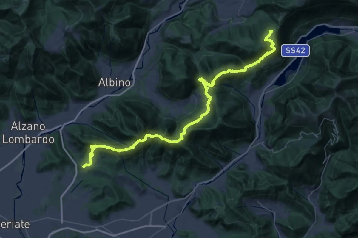
Demanding · Summit
Tribulina di Gavarno – Monticelli
43.4 km · ↑ 2445 m · 15 h 32 min · 13 km away
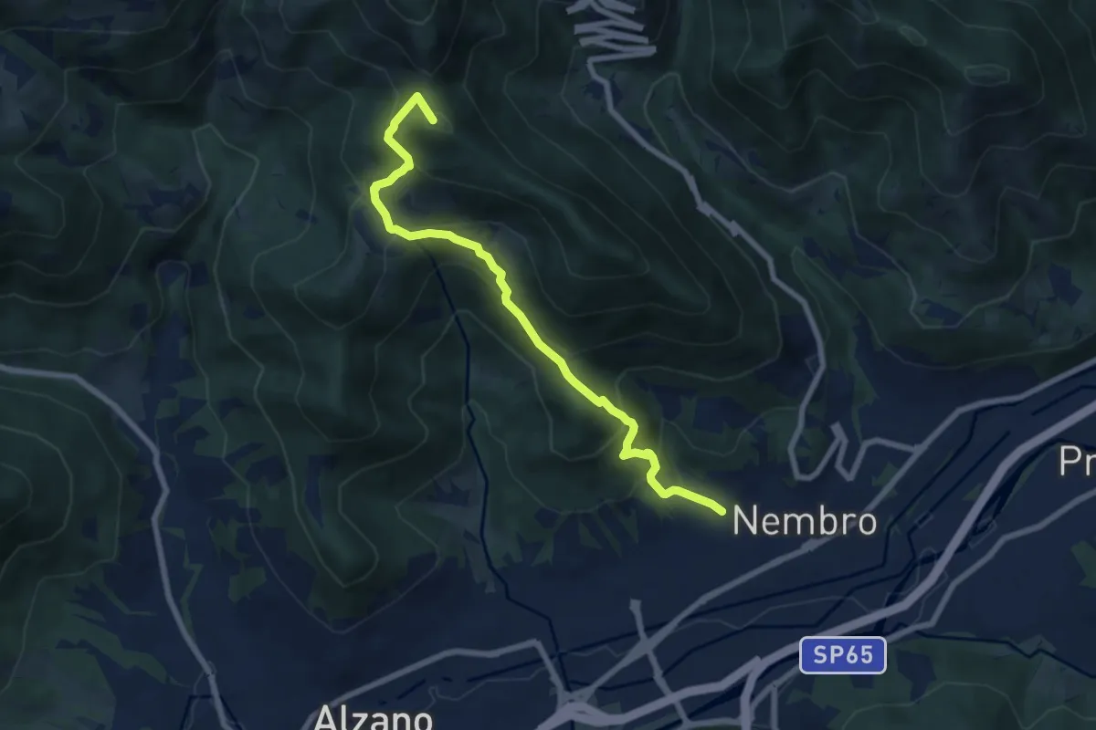
Medium · Summit
Madonna dello Zuccarello (Nembro) – Selvino
7.5 km · ↑ 583 m · 3 h 3 min · 14 km away
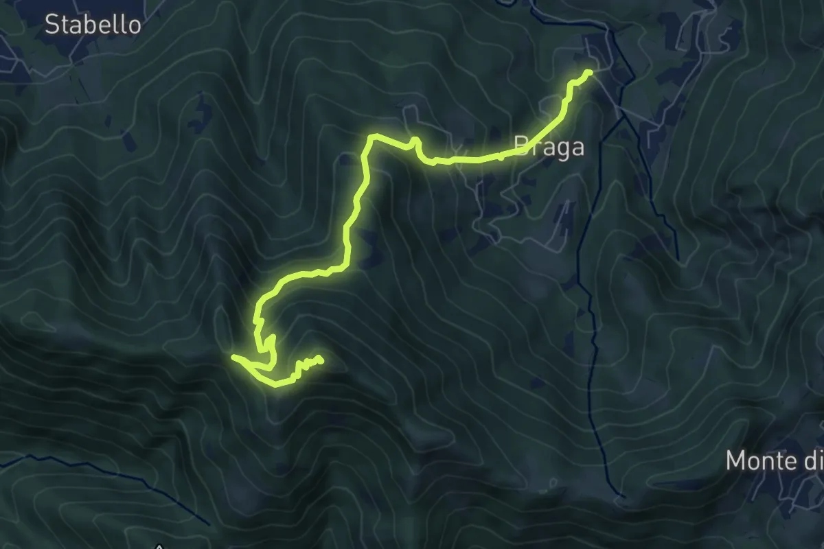
Medium · Summit
Poscante – Canto Alto
8.5 km · ↑ 775 m · 3 h 41 min · 14 km away
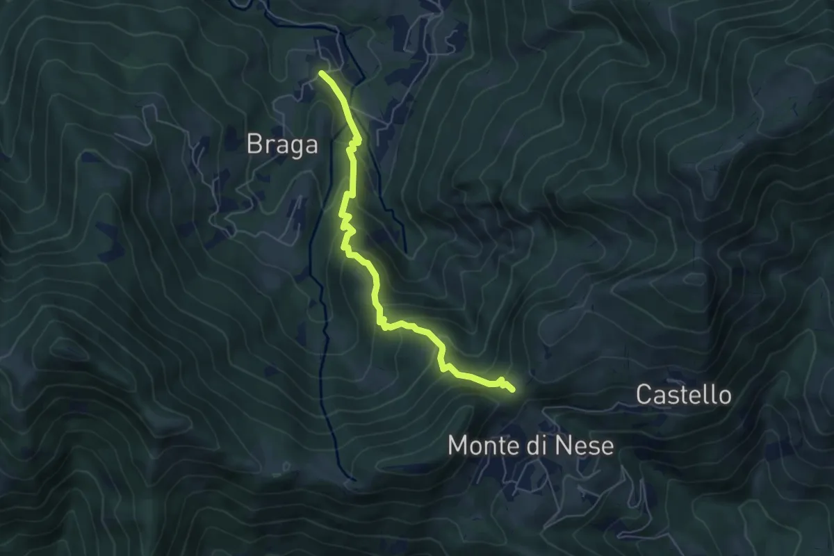
Medium · Trail
Poscante – Forcella di Monte di Nese
5.7 km · ↑ 465 m · 2 h 21 min · 14 km away
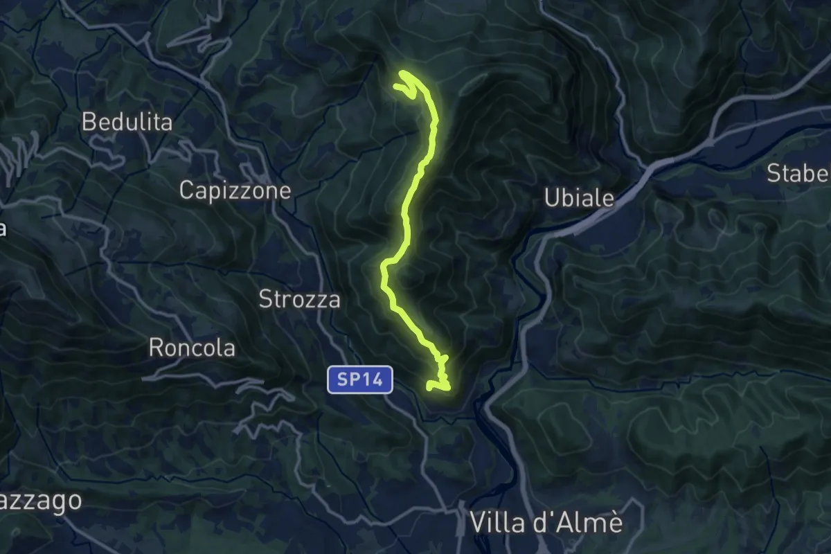
Medium · Trail
Sentiero del Partigiano Angelo Gotti
10.9 km · ↑ 778 m · 4 h 15 min · 14 km away
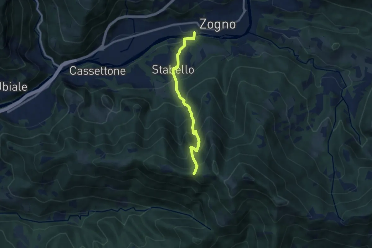
Demanding · Trail
Zogno – Casèl (incrocio 507)
6.1 km · ↑ 672 m · 2 h 54 min · 14 km away
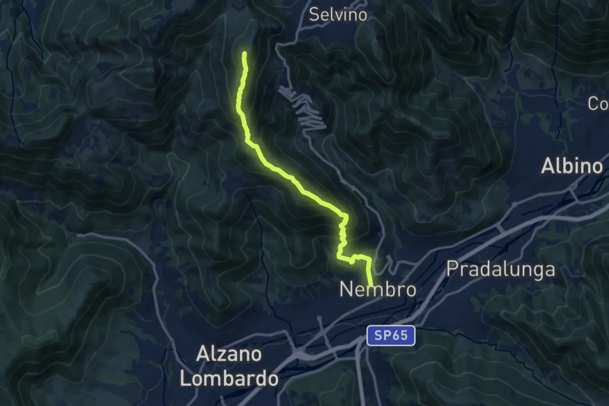
Demanding · Summit
Nembro – Salmezza
10.3 km · ↑ 993 m · 4 h 34 min · 14 km away
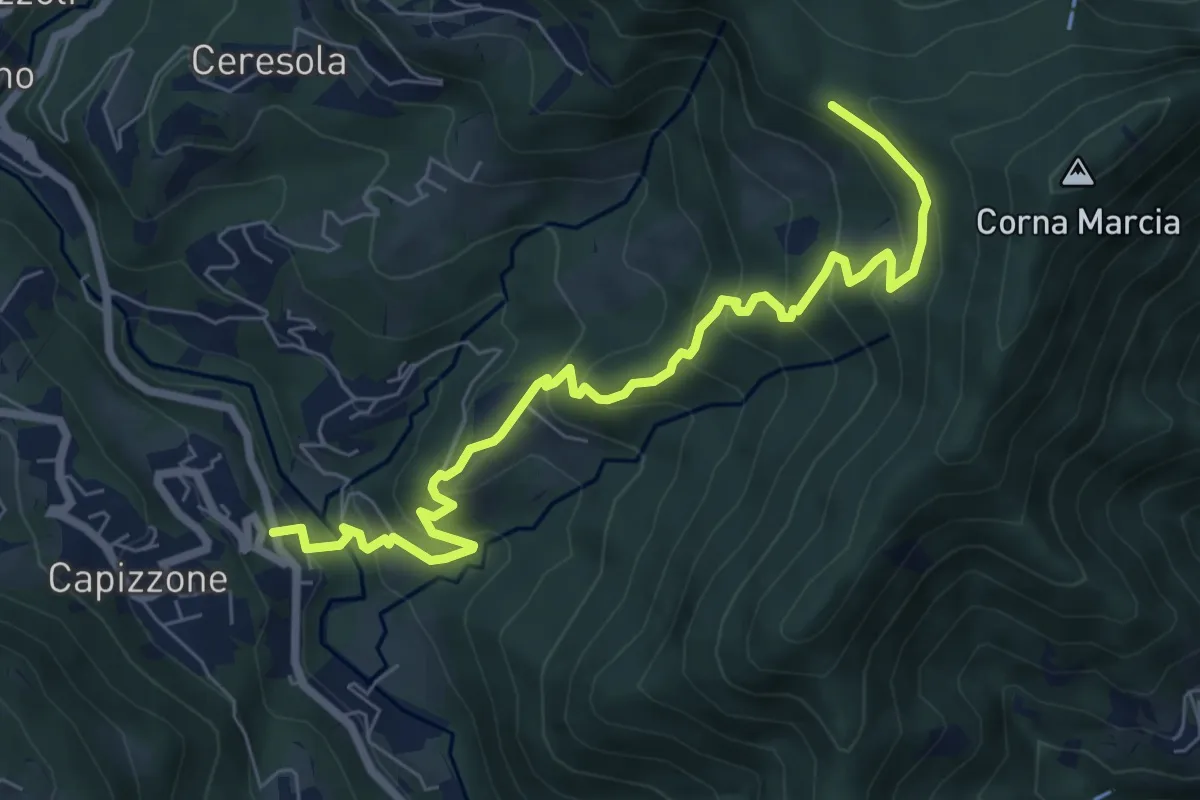
Medium · Trail
Medega (Capizzone) – Passo del Canto
7.9 km · ↑ 565 m · 3 h 5 min · 14 km away
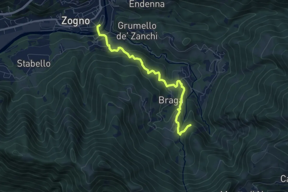
Medium · Trail
La via delle Castagne
7.6 km · ↑ 390 m · 2 h 38 min · 14 km away
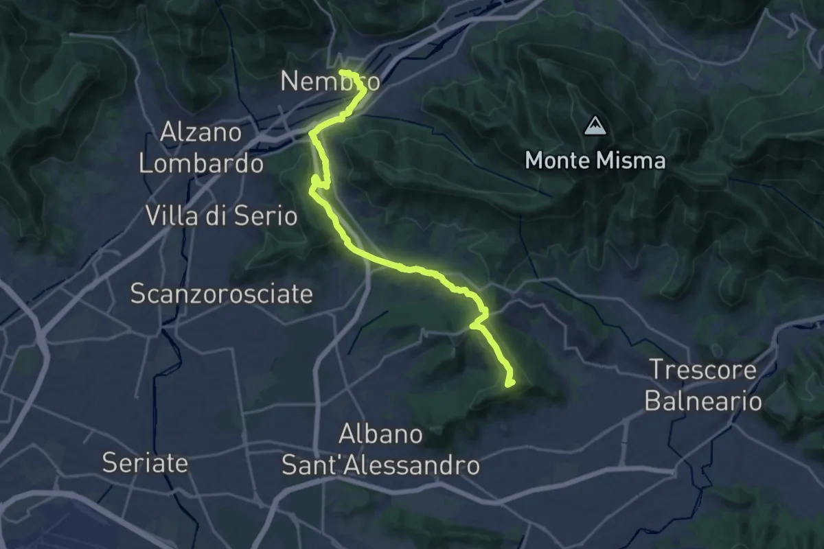
Medium · Summit
La Via delle Sorelle - Tappa 5
9.4 km · ↑ 284 m · 2 h 54 min · 14 km away
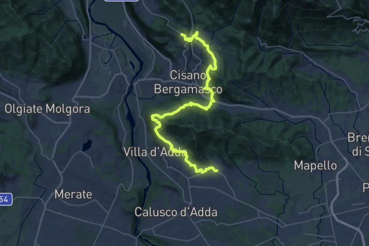
Medium · Trail
Sentiero Papa Giovanni XXIII
13.8 km · ↑ 408 m · 4 h 24 min · 14 km away
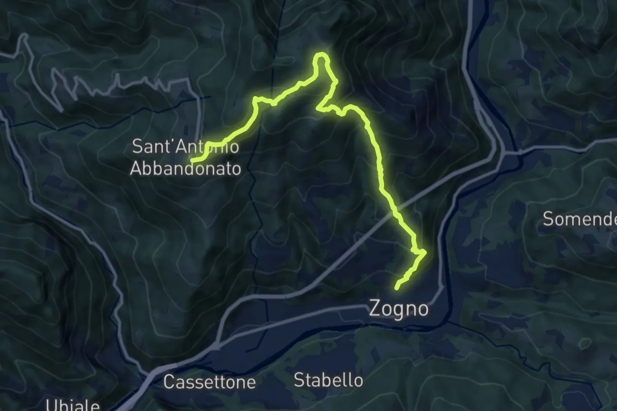
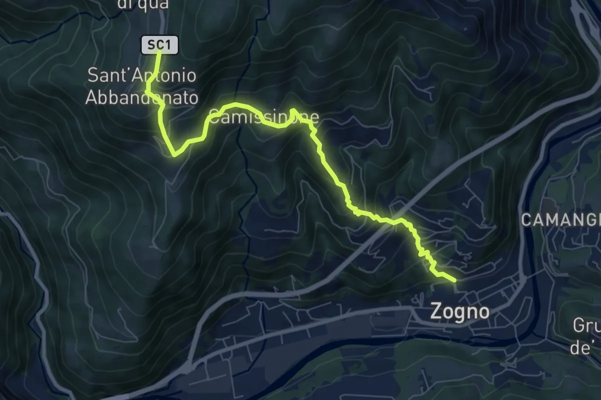
Demanding · Trail
Zogno – S. Antonio Abbandonato
11.8 km · ↑ 1031 m · 5 h 1 min · 14 km away
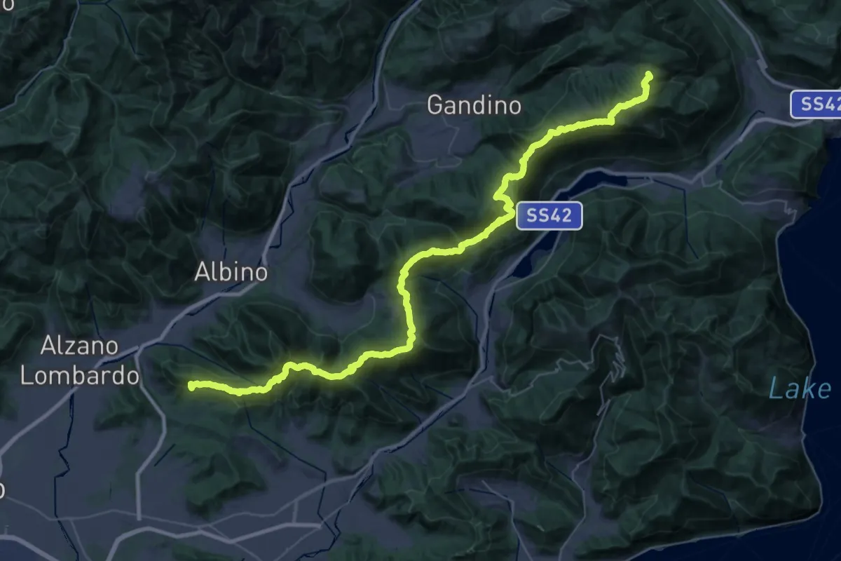
Medium · Trail
Zogno – Castignola
8.2 km · ↑ 688 m · 3 h 25 min · 14 km away
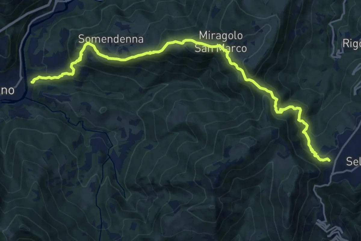
Demanding · Summit
Sentiero Andrea Caslini "Rocco"
53.0 km · ↑ 3005 m · 19 h 2 min · 14 km away
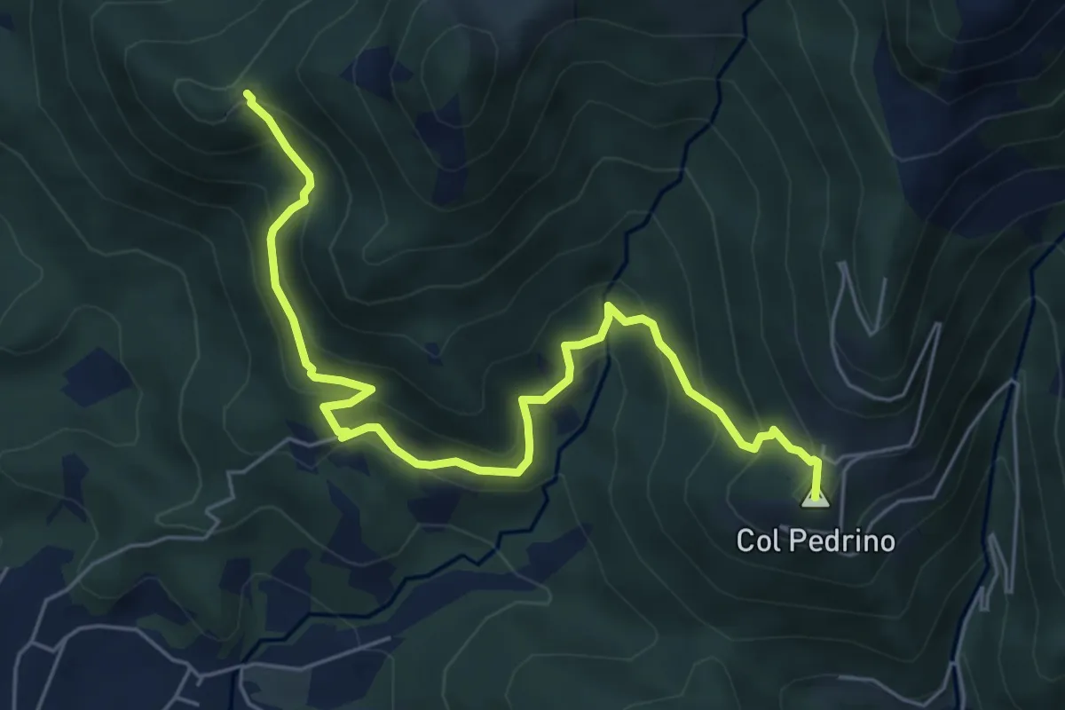
Demanding · Trail
Selvino – Zogno
16.8 km · ↑ 1152 m · 6 h 28 min · 14 km away
Medium · Summit
Località Foppa – Coldara
6.6 km · ↑ 509 m · 2 h 39 min · 15 km away
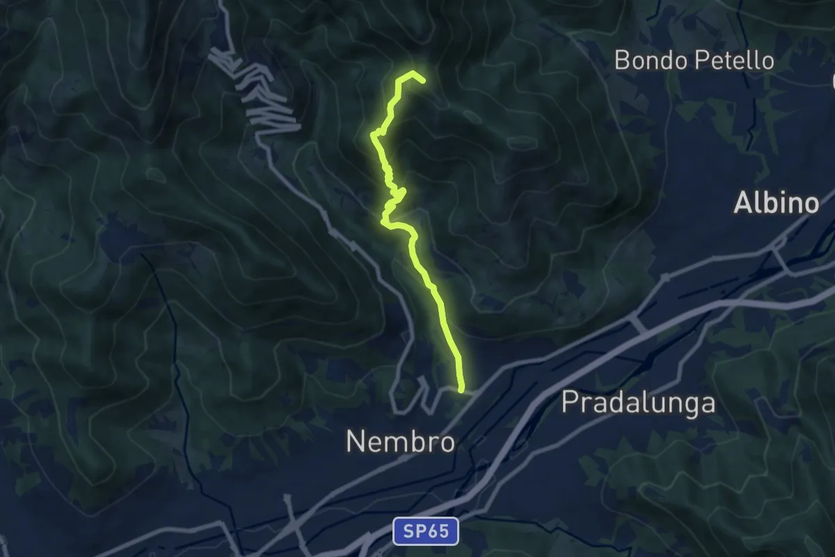
Medium · Summit
Trevasco (Nembro) – Selvino
6.8 km · ↑ 603 m · 2 h 55 min · 15 km away
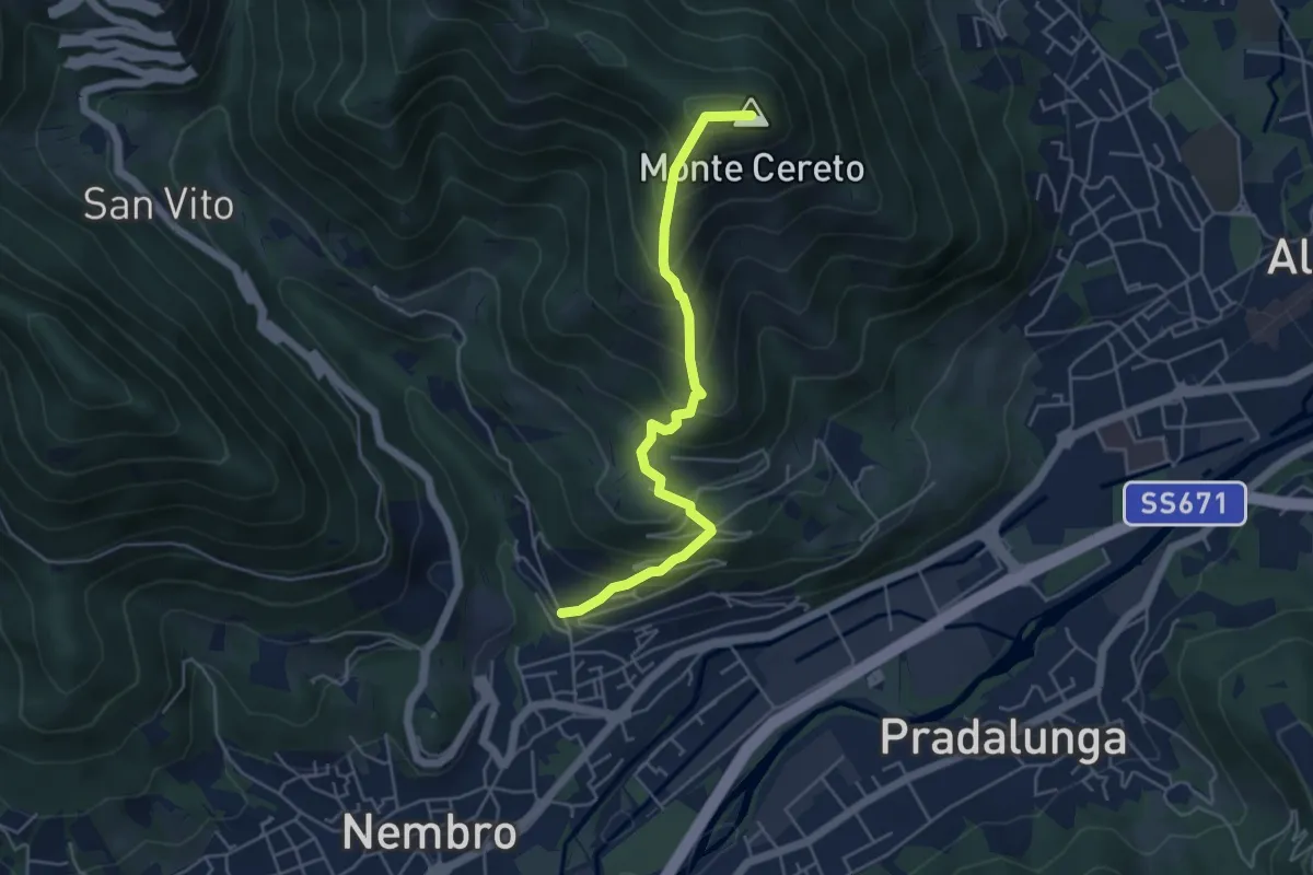
Medium · Summit
Trevasco (Nembro) – Monte Cereto
4.8 km · ↑ 563 m · 2 h 21 min · 15 km away
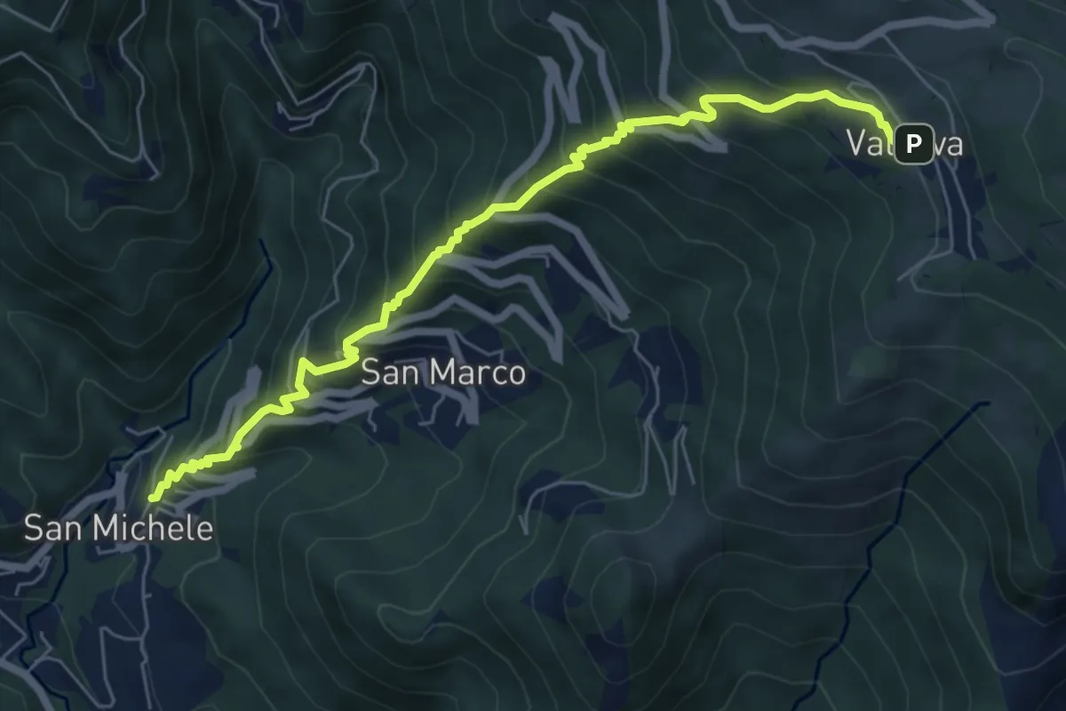
Medium · Trail
Torre de' Busi – Valcava
6.9 km · ↑ 790 m · 3 h 20 min · 15 km away
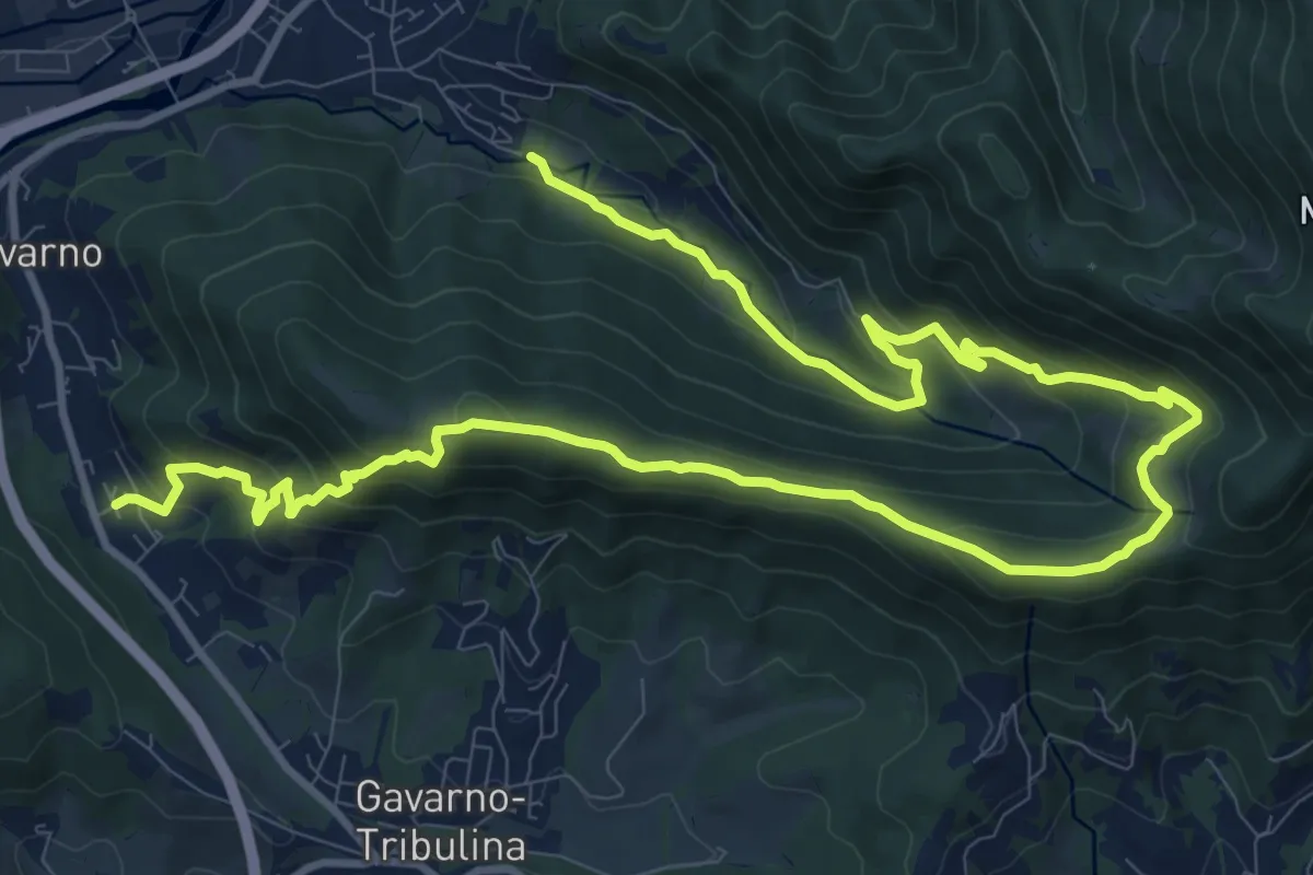
Demanding · Trail
Cornale (Pradalunga) – Gavarno
17.1 km · ↑ 933 m · 6 h 4 min · 15 km away
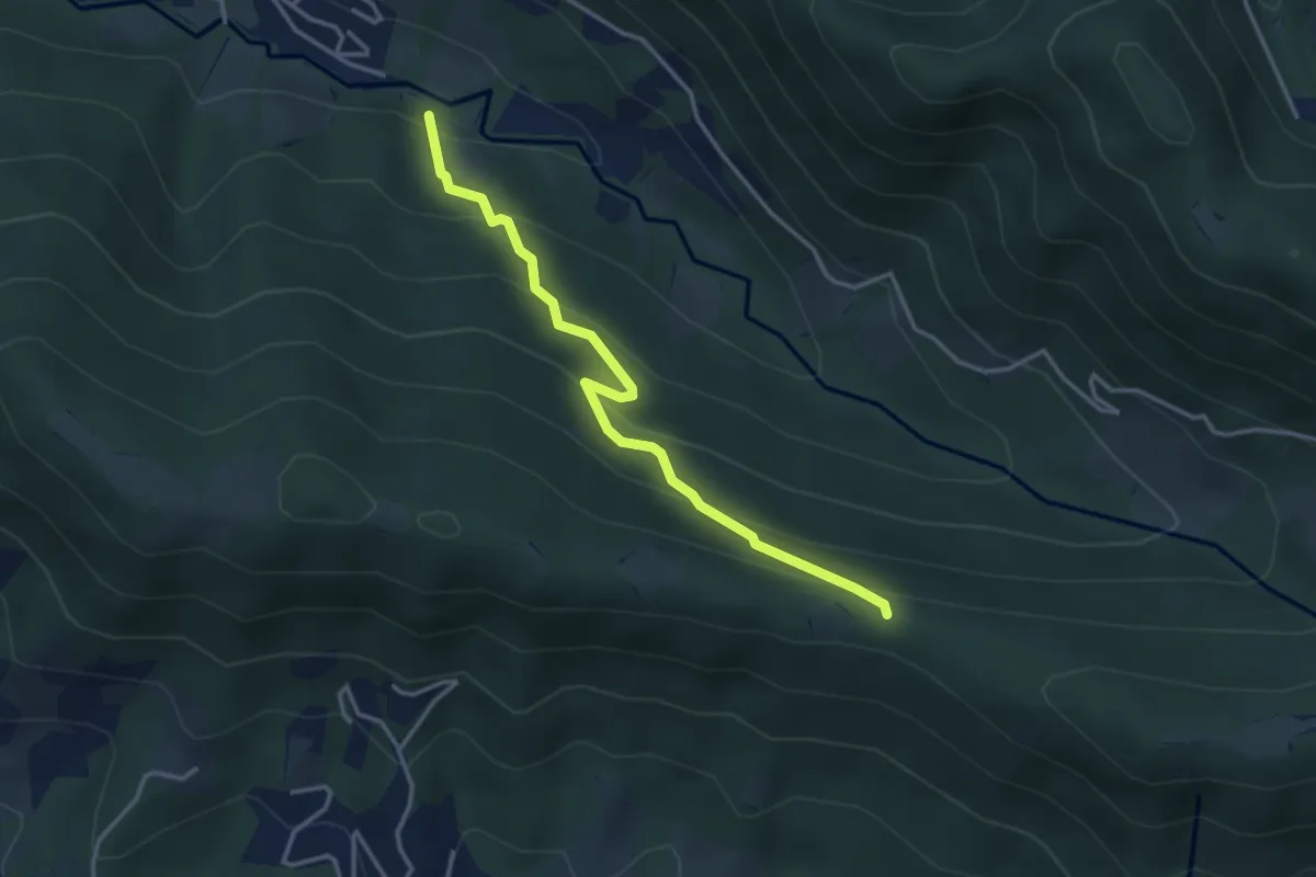
Easy · Trail
Cornale (Pradalunga) – Roccolo delle Pozzette (incrocio 539A)
3.6 km · ↑ 276 m · 1 h 26 min · 15 km away