Trails near Udine
25 hikes starting within 15 km, nearest first.
Nearest first
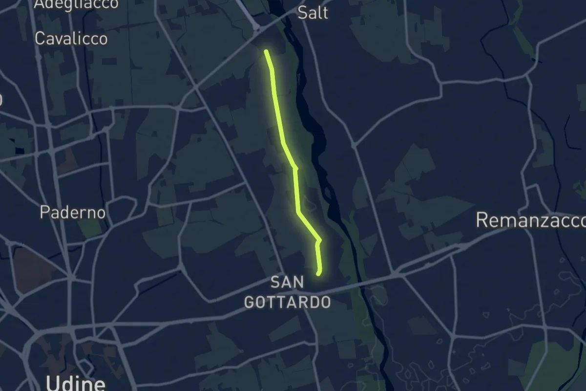
Easy · Trail
10mila passi Udine - La memoria dell'acqua - Parco del Torre
7.1 km · ↑ 17 m · 1 h 42 min · 4 km away
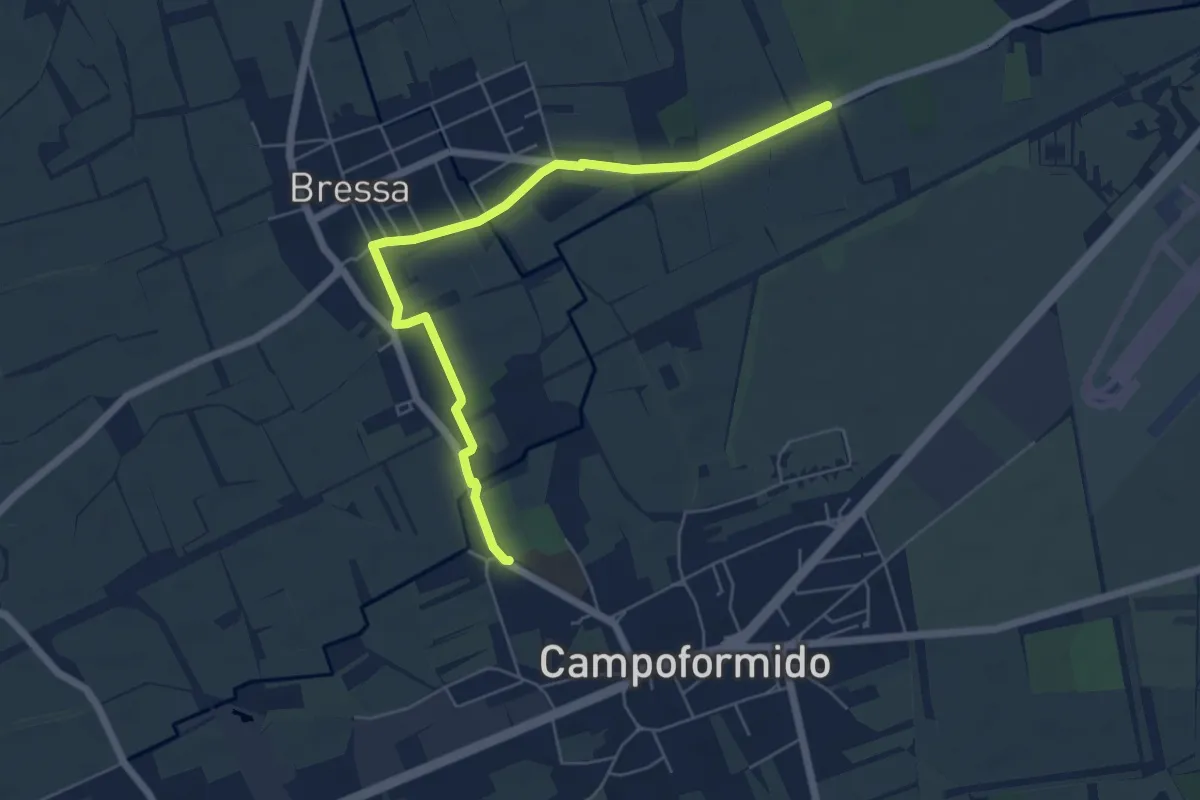
Easy · Trail
10mila passi Campoformido - Cjaminade de boschete furlane
6.3 km · ↑ 8 m · 1 h 30 min · 8 km away
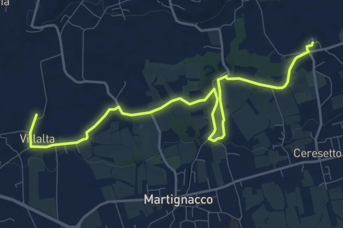
Medium · Trail
The castle and water mill route
10.3 km · ↑ 106 m · 2 h 40 min · 8 km away
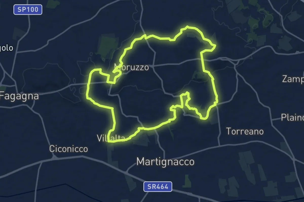
Medium · Trail
Sentiero Stringher Tacoli
14.6 km · ↑ 202 m · 4 h 6 min · 8 km away
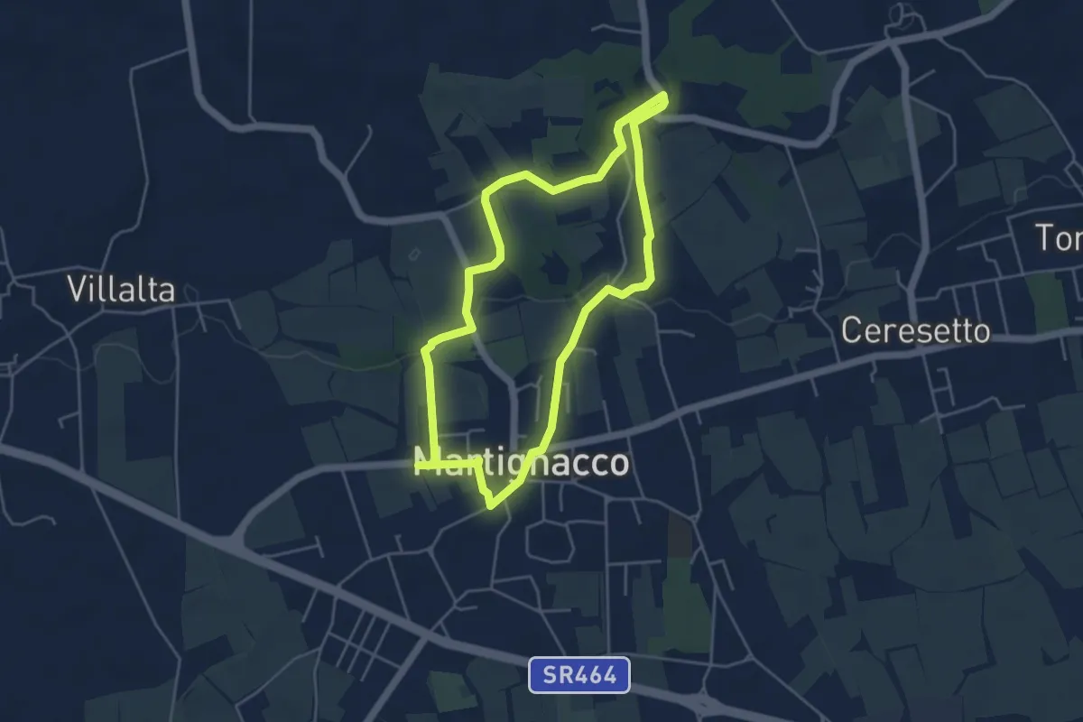
Easy · Trail
"La Cjaminade"
4.3 km · ↑ 42 m · 1 h 9 min · 9 km away
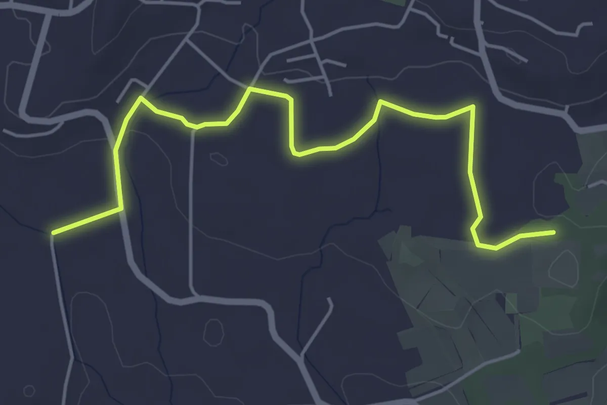
Easy · Trail
Sentiero del Tempo
5.3 km · ↑ 61 m · 1 h 22 min · 9 km away
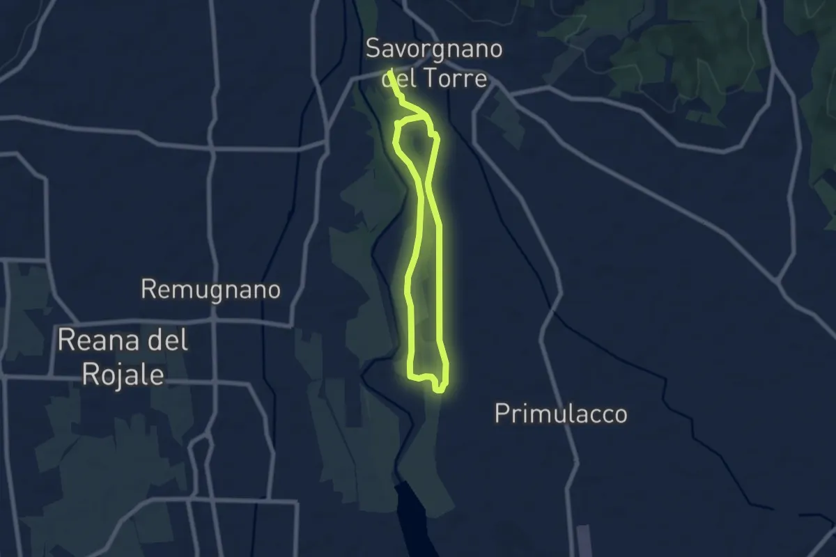
Medium · Trail
10mila passi Povoletto - Lungo il torrente Torre
9.8 km · ↑ 21 m · 2 h 22 min · 11 km away
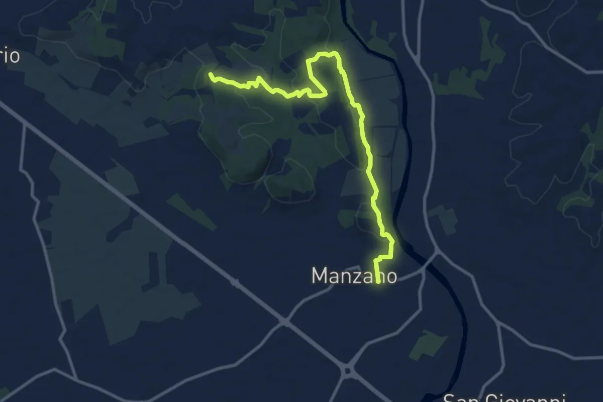
Medium · Trail
Itinerario Naturalistico della Sdricca
9.8 km · ↑ 174 m · 2 h 41 min · 12 km away
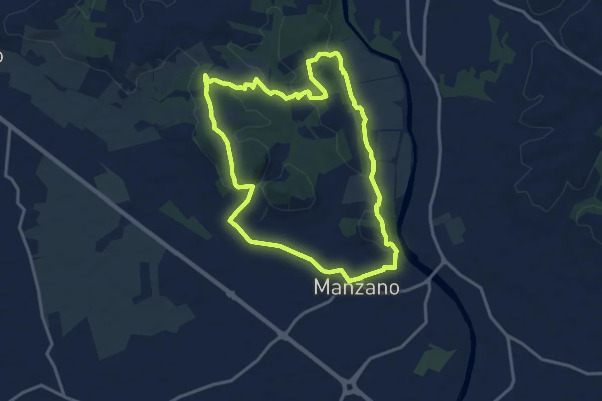
Medium · Trail
Sentiero Naturalistico della Sdricca
8.0 km · ↑ 132 m · 2 h 18 min · 12 km away
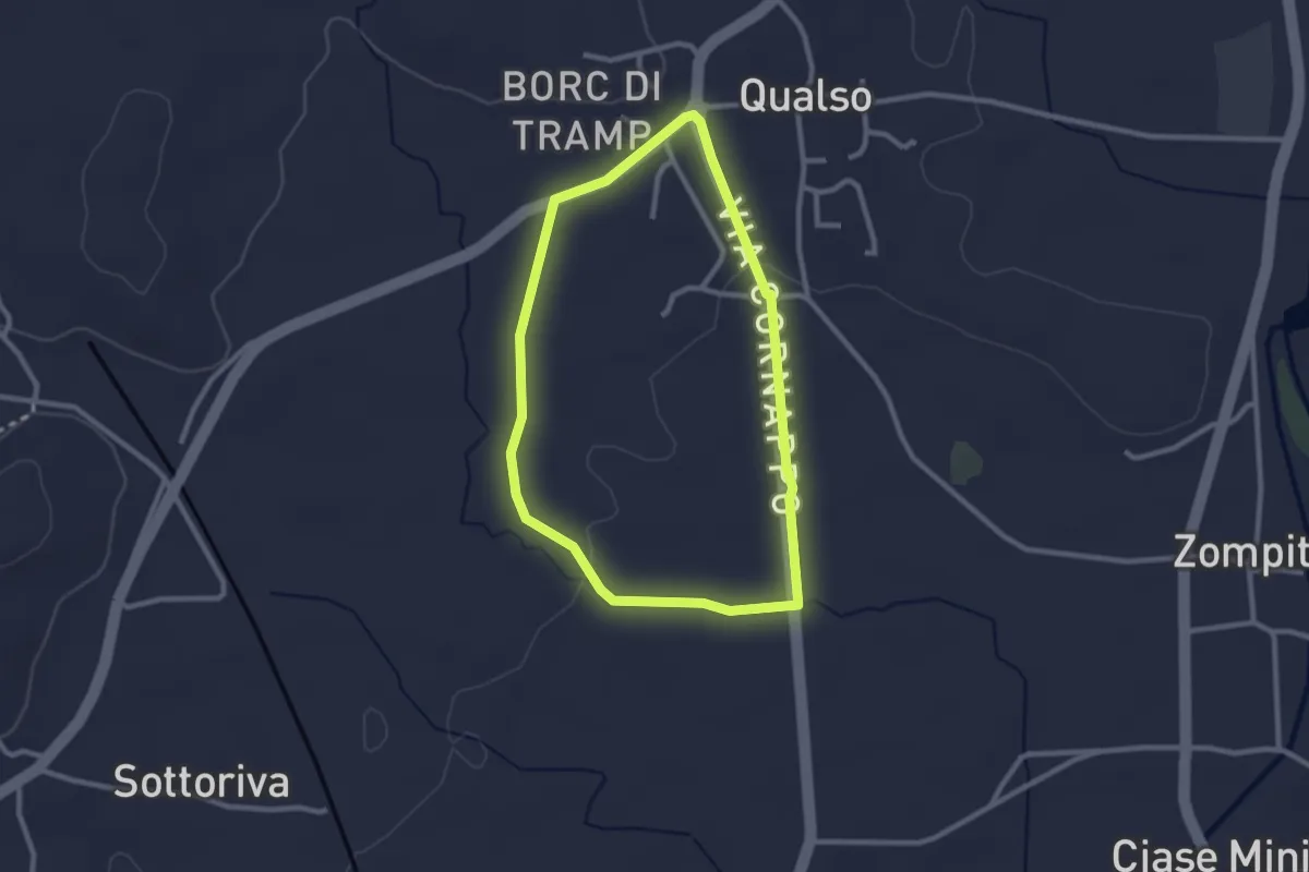
Easy · Trail
10mila passi Reana del Rojale
2.4 km · ↑ 14 m · 38 min · 12 km away
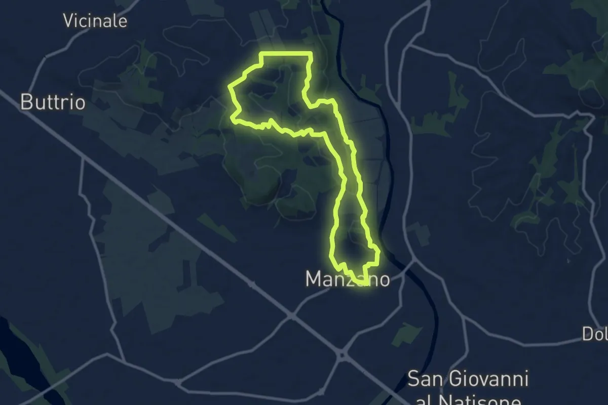
Medium · Trail
Sulle tracce degli arditi
9.3 km · ↑ 123 m · 2 h 35 min · 13 km away
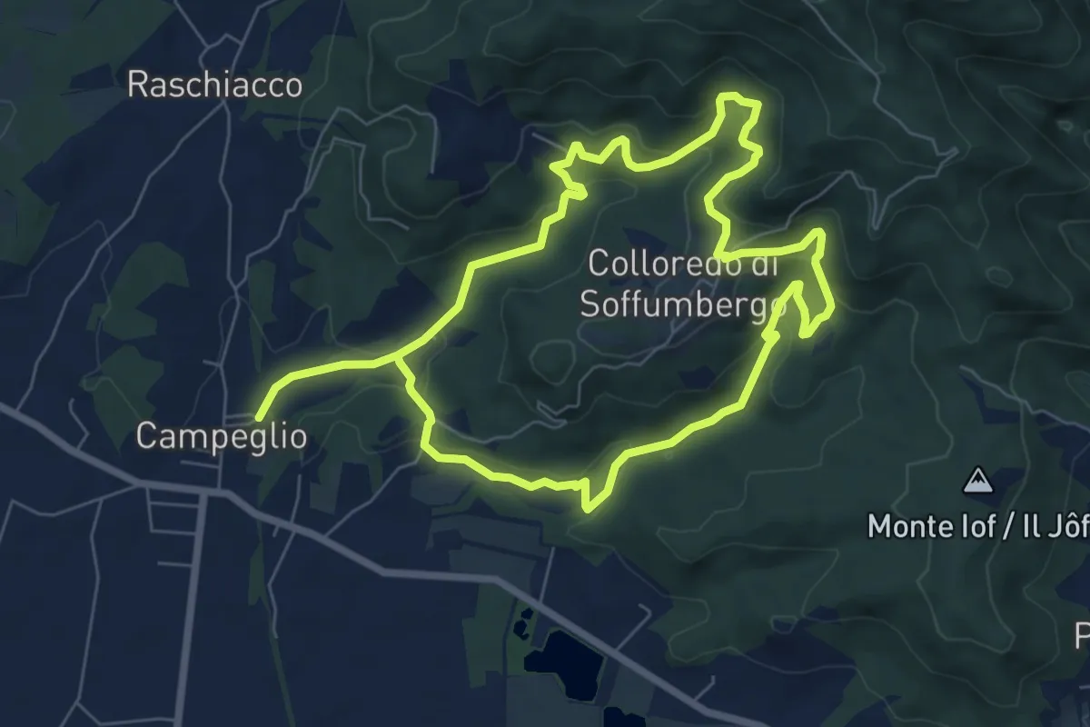
Medium · Trail
Anello della Fontana Rossa
13.0 km · ↑ 554 m · 4 h 16 min · 13 km away
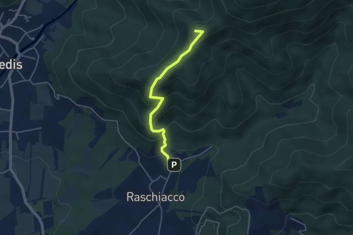
Easy · Summit
Raschiacco – Costalunga
3.2 km · ↑ 280 m · 1 h 21 min · 13 km away
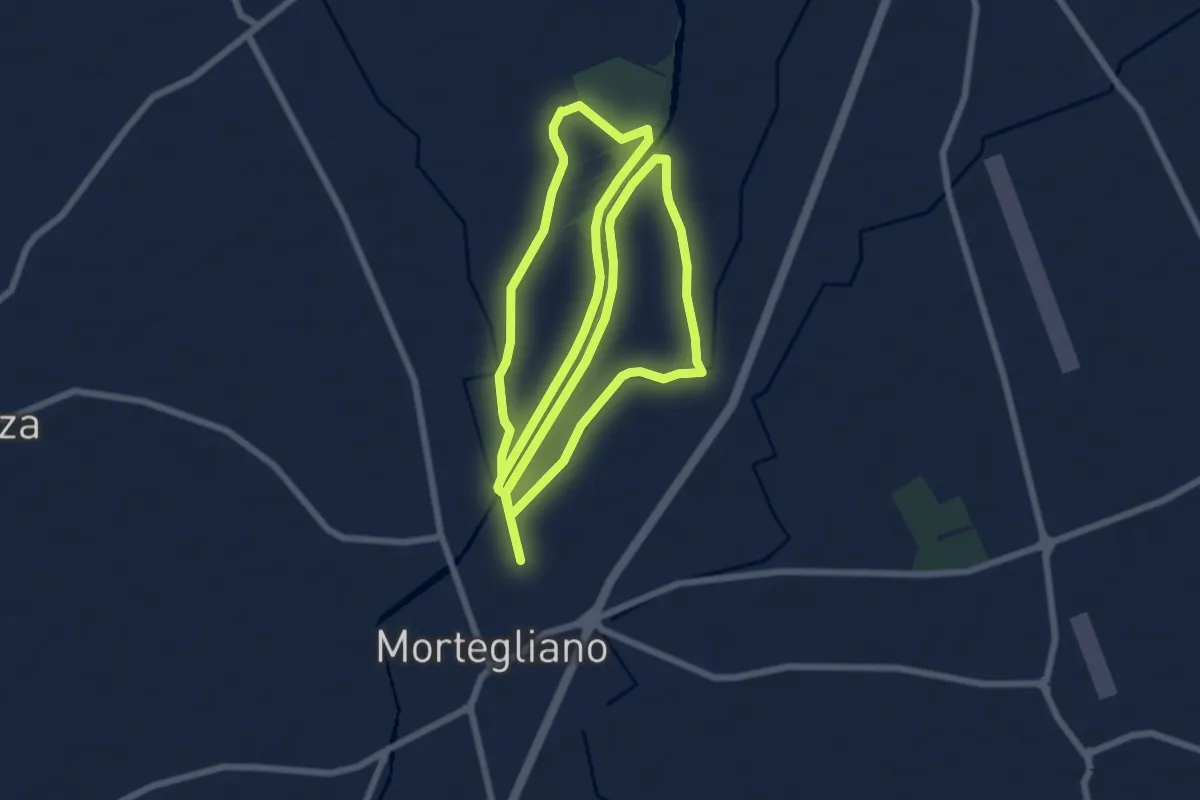
Medium · Trail
10mila passi Mortegliano - Anello del Cormor
16.9 km · ↑ 21 m · 4 h 2 min · 14 km away
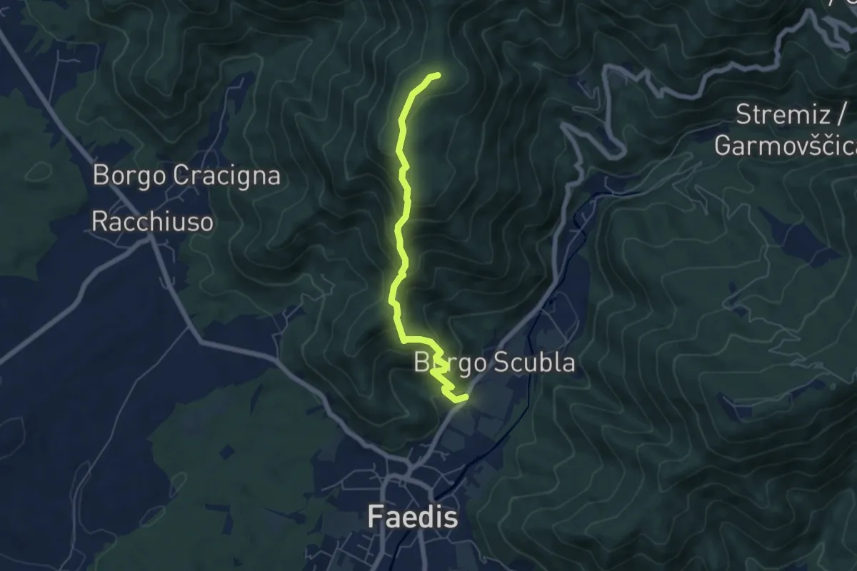
Medium · Summit
Sentiero dei castelli di Faedis
5.3 km · ↑ 421 m · 2 h 9 min · 14 km away
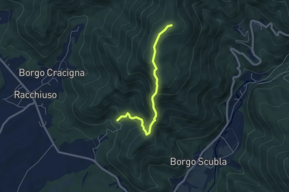
Medium · Summit
sentiero del crinale
4.4 km · ↑ 363 m · 1 h 49 min · 14 km away
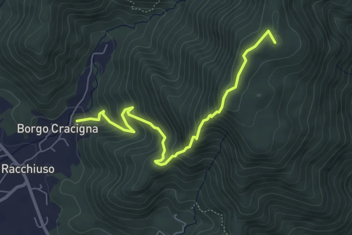
Medium · Summit
Sentiero del Monte di Poiana
5.6 km · ↑ 499 m · 2 h 24 min · 14 km away
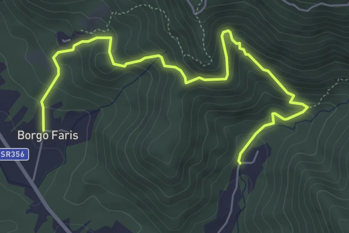
Medium · Trail
Sentiero delle Rogazioni
6.1 km · ↑ 539 m · 2 h 36 min · 14 km away
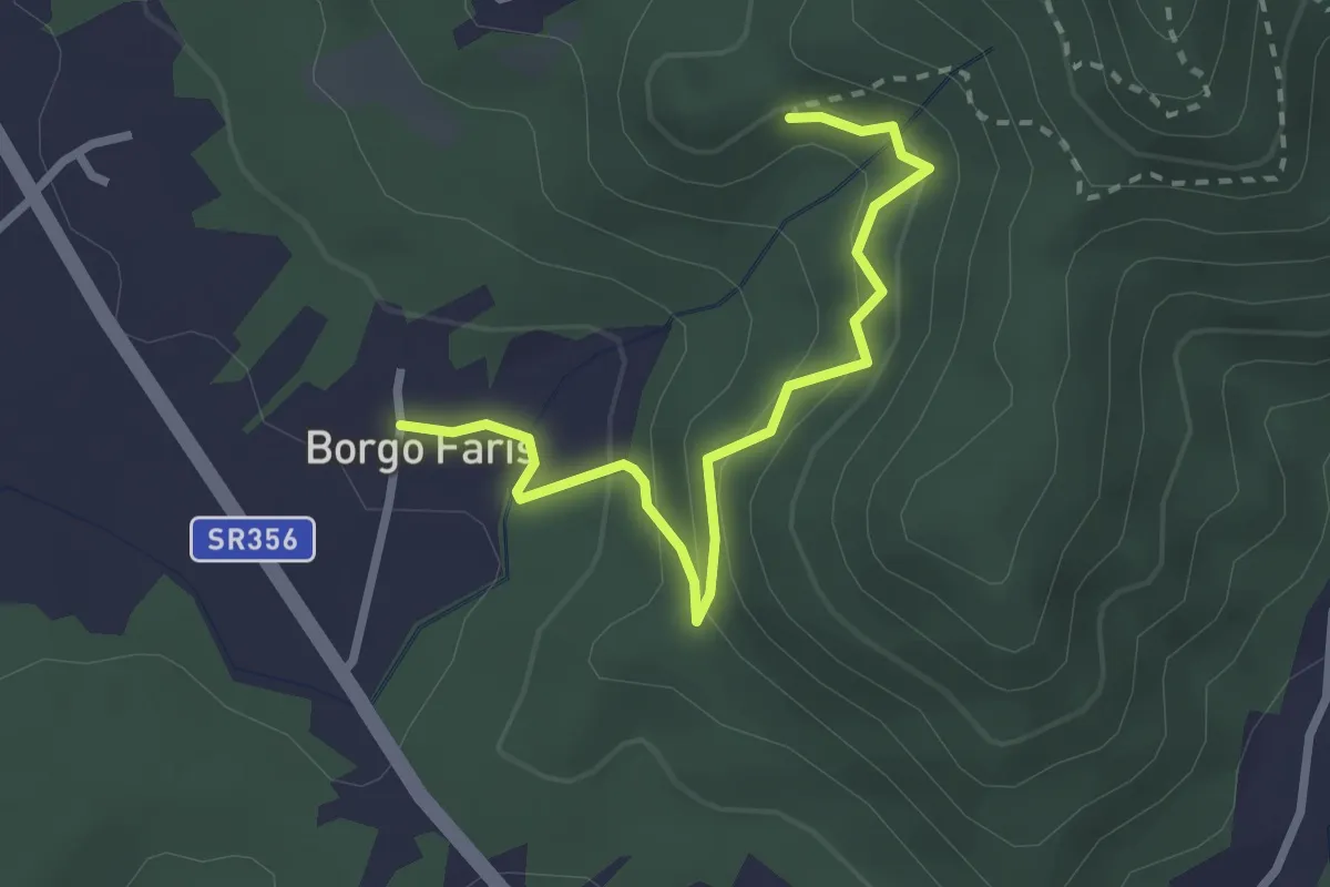
Easy · Trail
Sentiero delle Rogazioni (alternative)
2.7 km · ↑ 157 m · 59 min · 14 km away
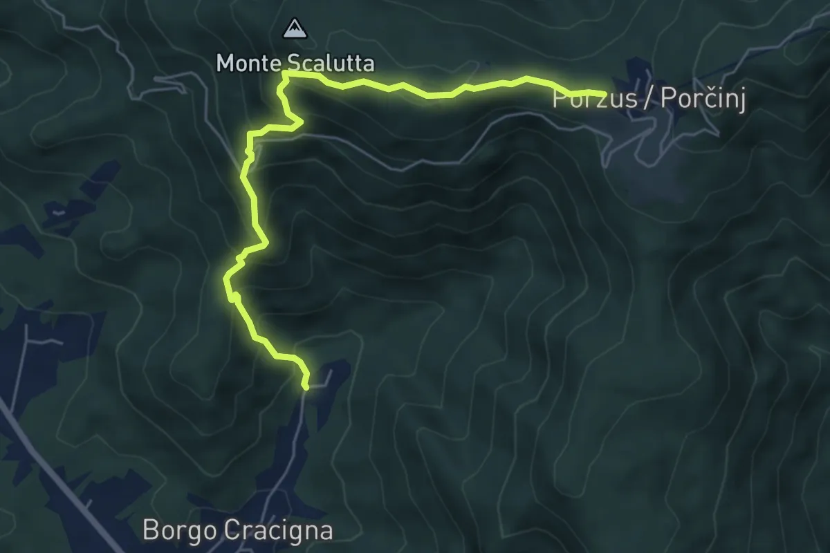
Medium · Trail
Sentiero della Comugna
5.8 km · ↑ 498 m · 2 h 27 min · 14 km away
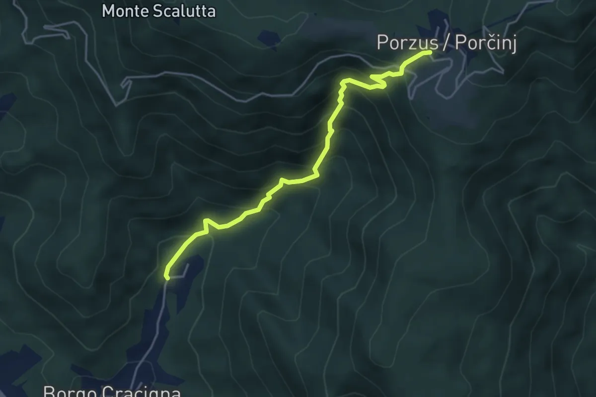
Medium · Trail
Sentiero del Pissebek
4.0 km · ↑ 460 m · 1 h 57 min · 14 km away
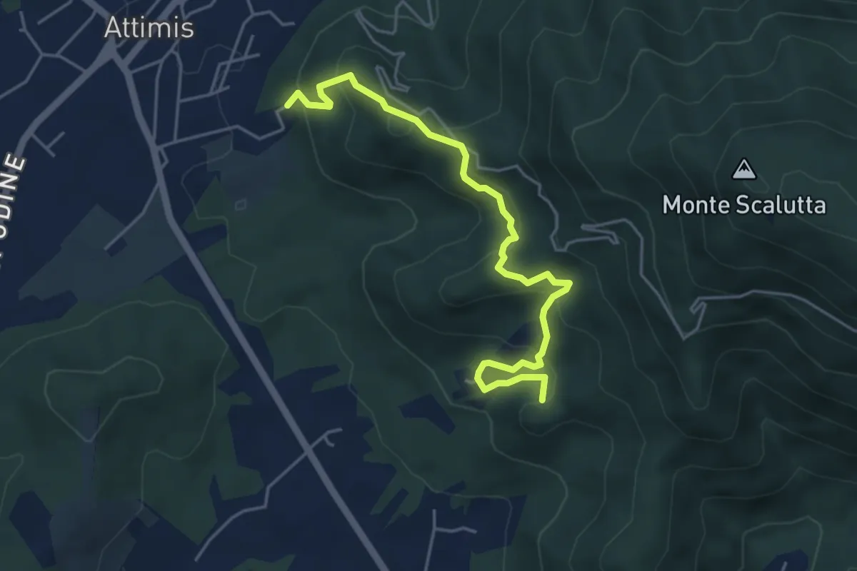
Medium · Trail
Sentiero dei Castelli
4.8 km · ↑ 347 m · 1 h 53 min · 14 km away
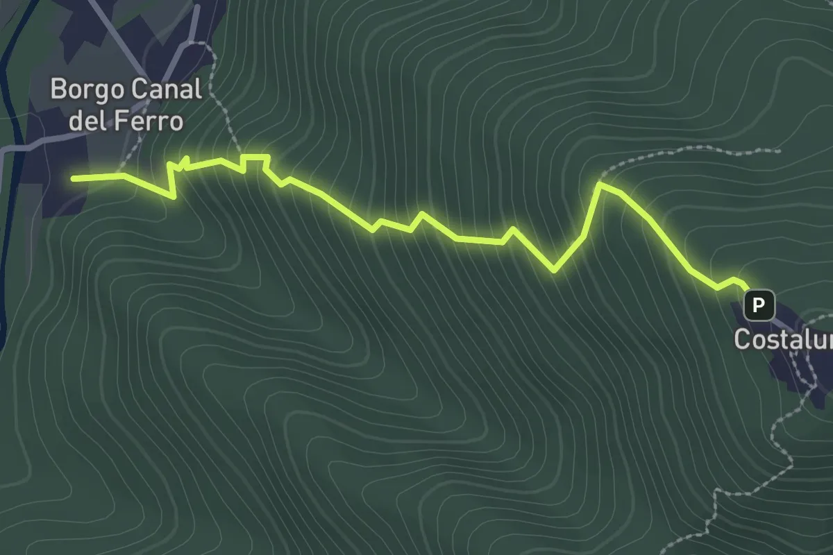
Medium · Trail
Sentiero di Costalunga
2.9 km · ↑ 386 m · 1 h 31 min · 15 km away
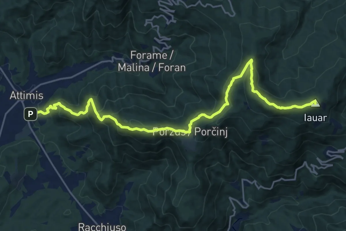
Demanding · Summit
Sentiero dello Scalutta
16.6 km · ↑ 920 m · 5 h 55 min · 15 km away
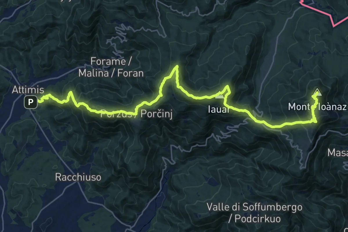
Demanding · Summit
Attimis (q. 195 m) – Colloredo di Soffumbergo (q. 303 m)
26.7 km · ↑ 1564 m · 9 h 41 min · 15 km away