Trails near Umbertide
51 hikes starting within 15 km, nearest first.
Nearest first, page 1 of 2
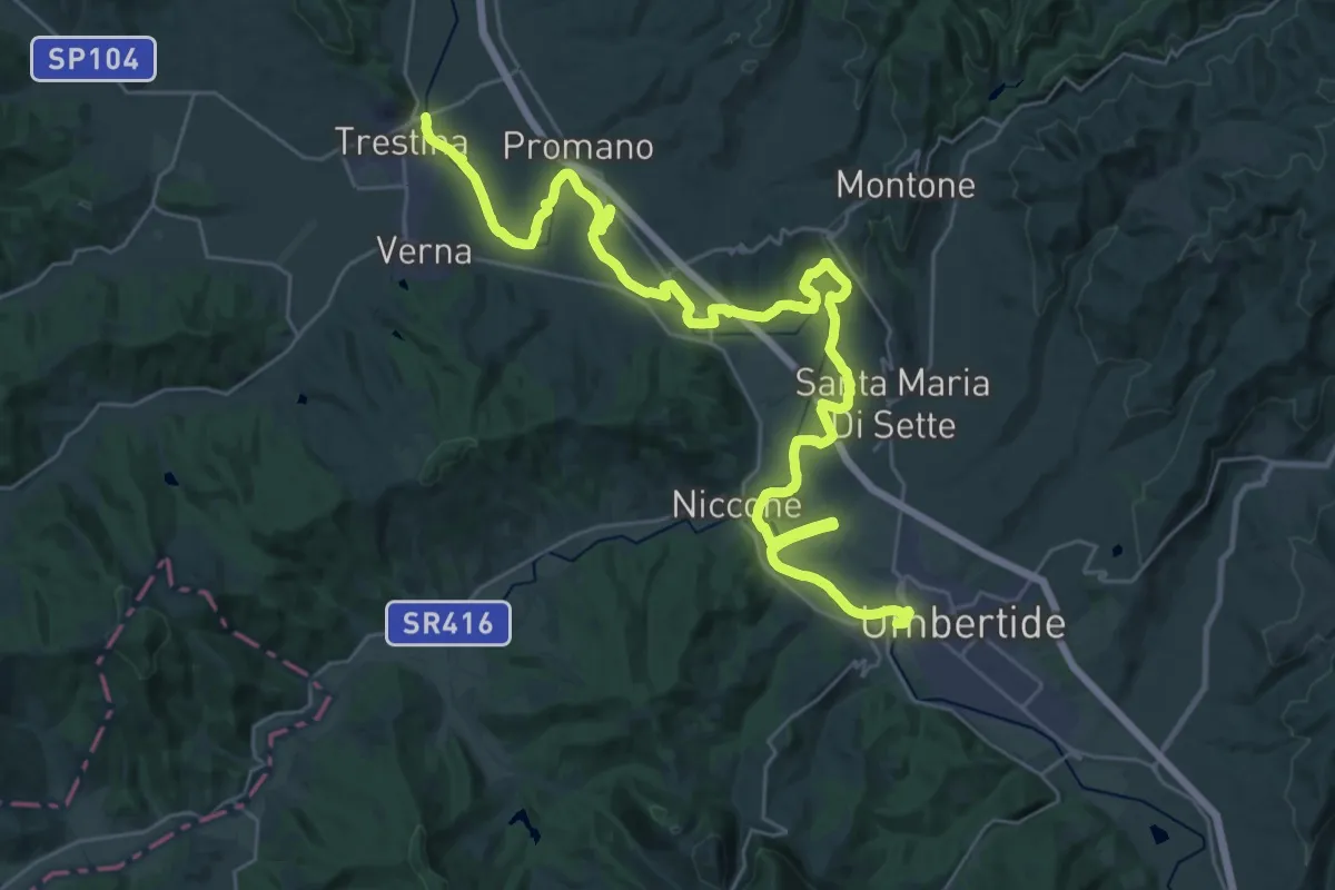
Demanding · Trail
Trestina – Umbertide
21.9 km · ↑ 227 m · 5 h 57 min · 1 km away
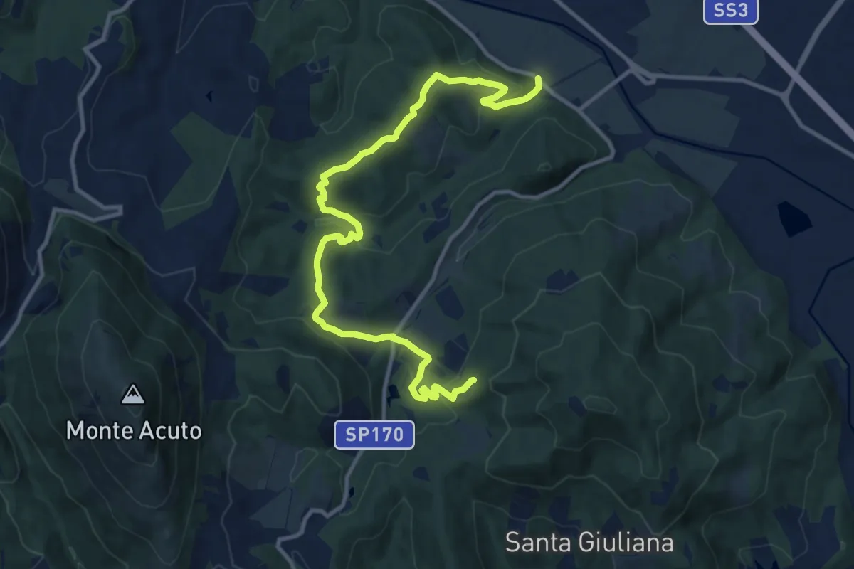
Medium · Trail
Podere San Romualdo – Intersezione percorso 171
13.2 km · ↑ 502 m · 4 h 13 min · 2 km away
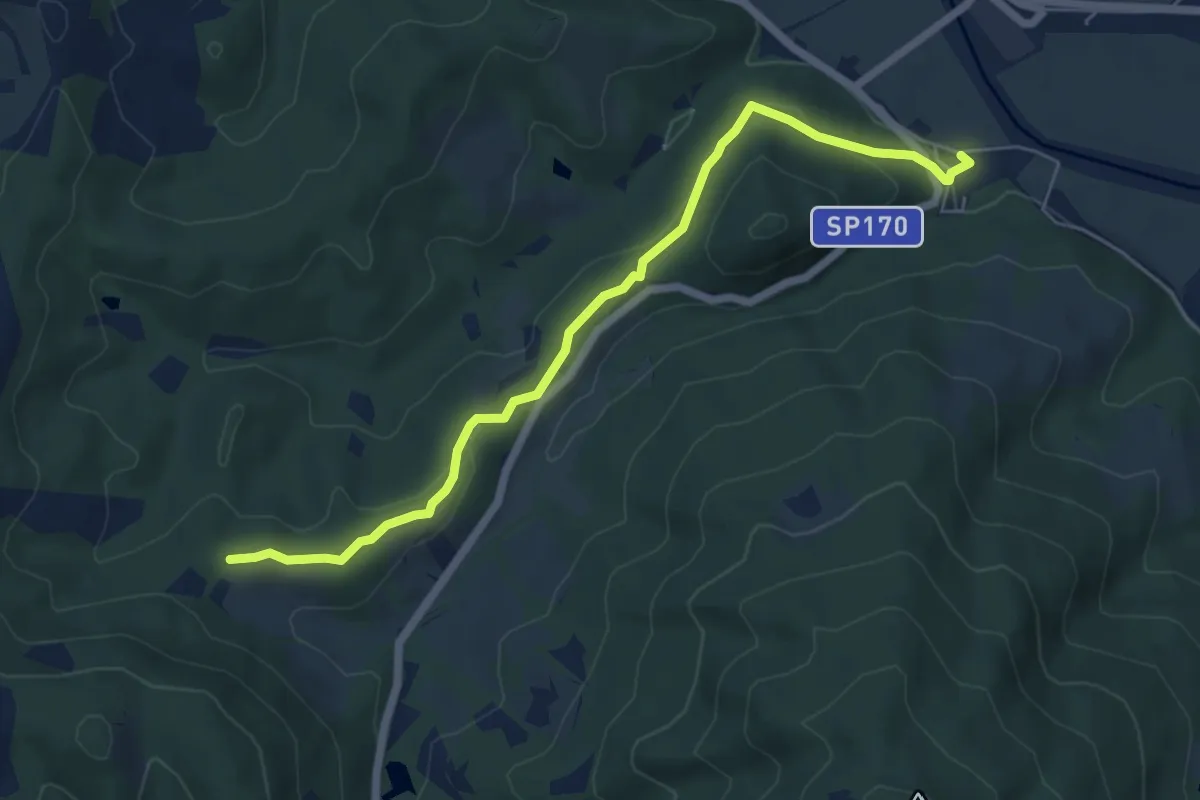
Easy · Trail
Badia Montecorona – Toro
6.7 km · ↑ 181 m · 1 h 58 min · 3 km away
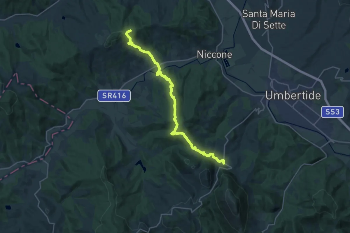
Demanding · Trail
Monte Bastiola – Polgeto
18.8 km · ↑ 918 m · 6 h 26 min · 4 km away
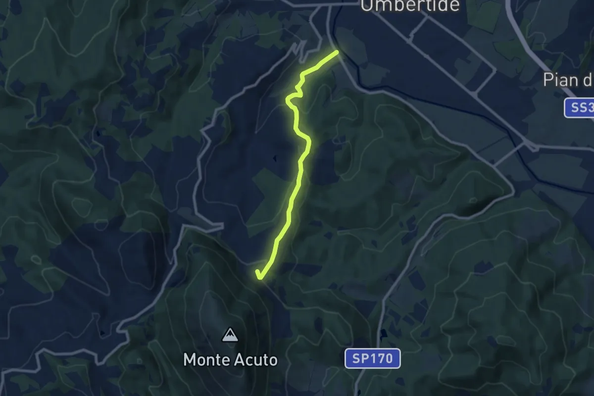
Easy · Trail
Umbertide – Montacuto
7.7 km · ↑ 283 m · 2 h 26 min · 4 km away
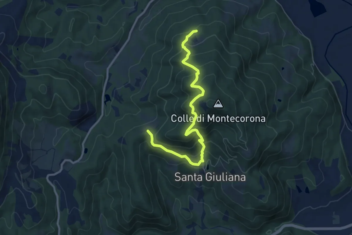
Medium · Trail
Podere San Savino – Intersezione percorso 171
8.4 km · ↑ 607 m · 3 h 17 min · 5 km away
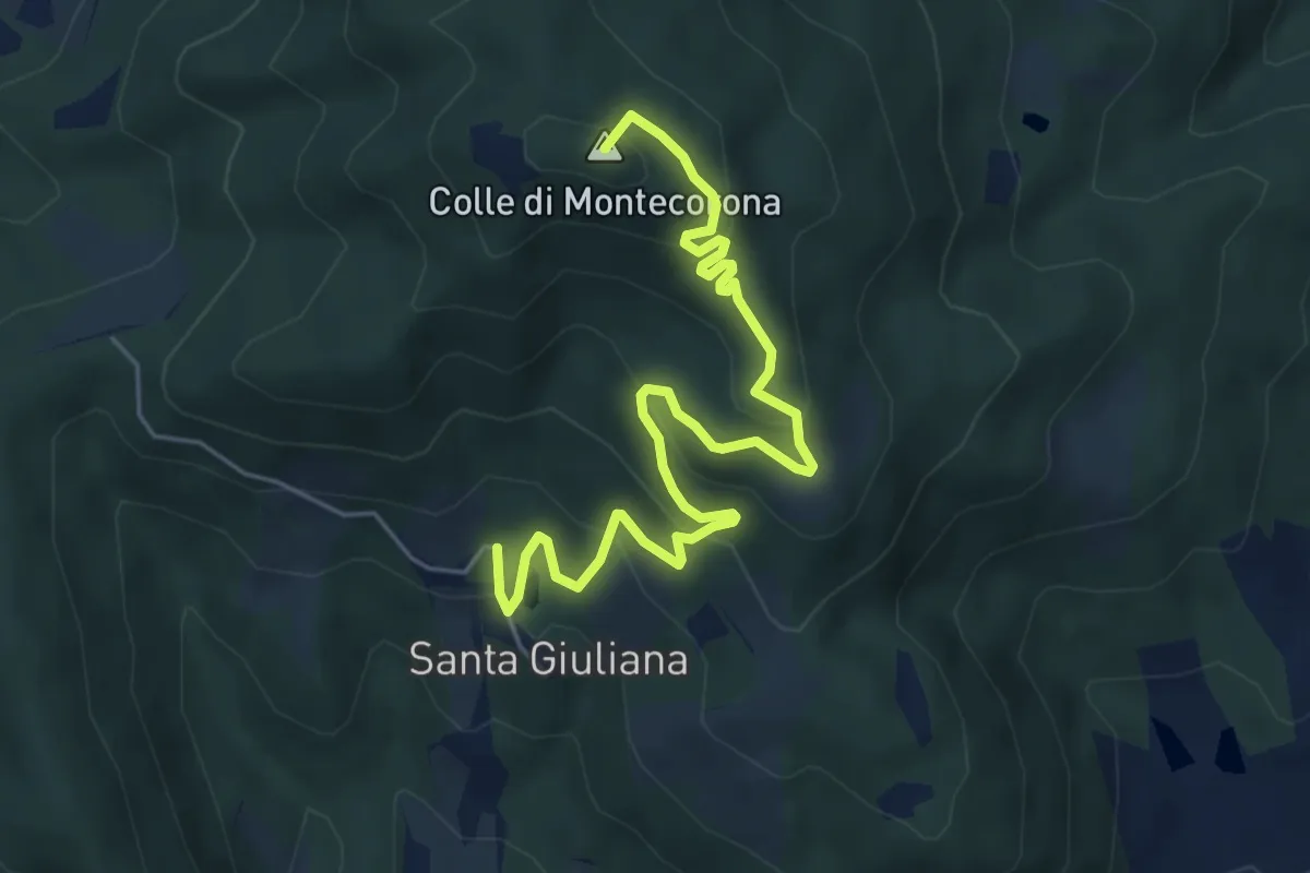
Medium · Summit
Eremo di Montecorona – Borgo di Santa Giuliana
6.5 km · ↑ 388 m · 2 h 23 min · 6 km away
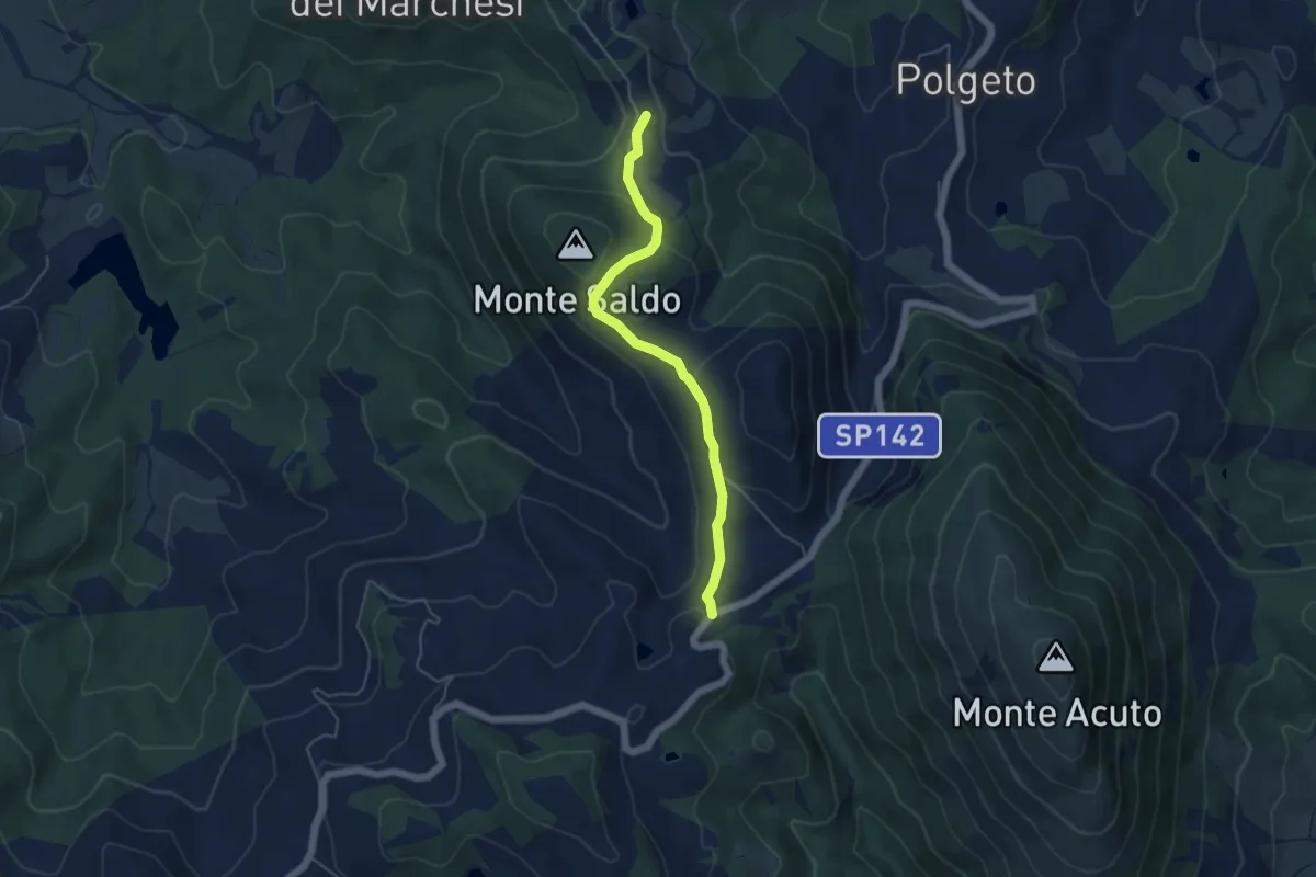
Easy · Trail
Sentiero 164 – Sentiero 165
5.1 km · ↑ 198 m · 1 h 38 min · 6 km away
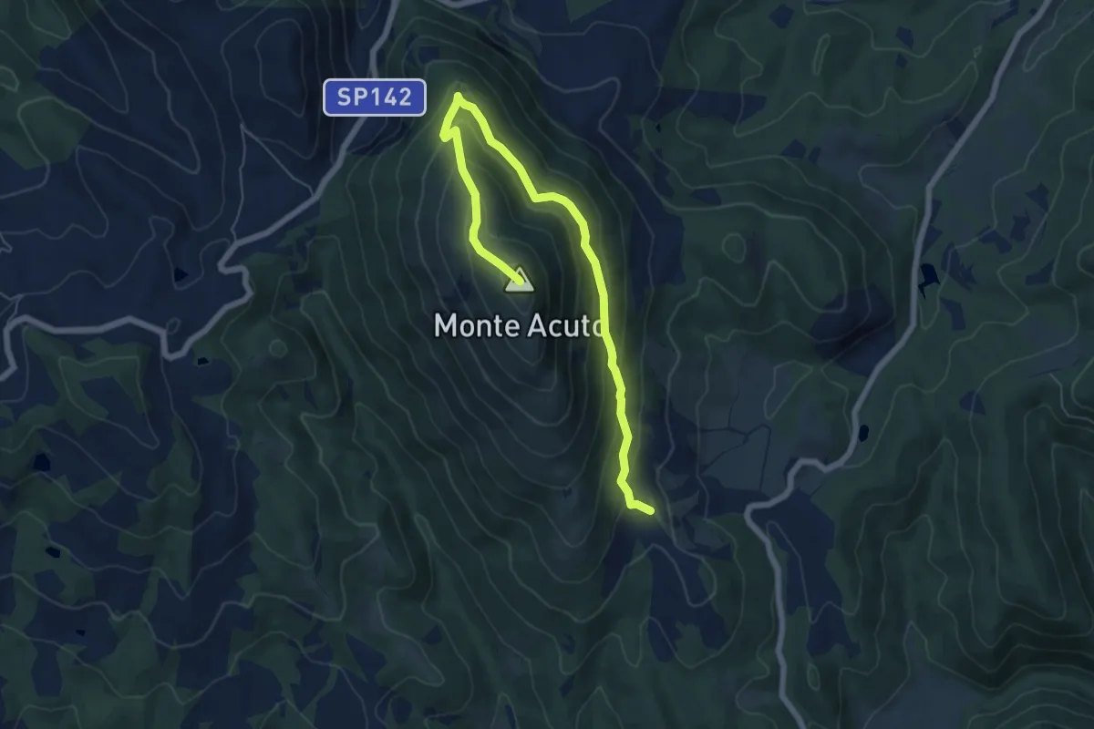
Medium · Summit
Galera – Monte Acuto
7.5 km · ↑ 483 m · 2 h 49 min · 6 km away
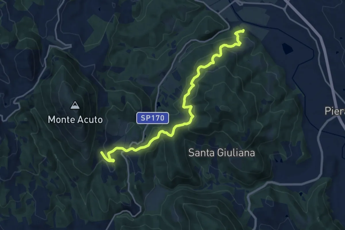
Medium · Trail
Fornace sentiero 166 – Galera
14.1 km · ↑ 625 m · 4 h 41 min · 6 km away
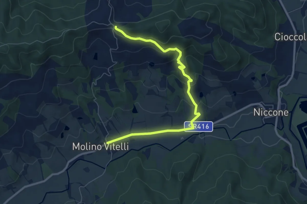
Easy · Trail
Molino Vitelli – Sentiero 160
7.7 km · ↑ 284 m · 2 h 26 min · 6 km away
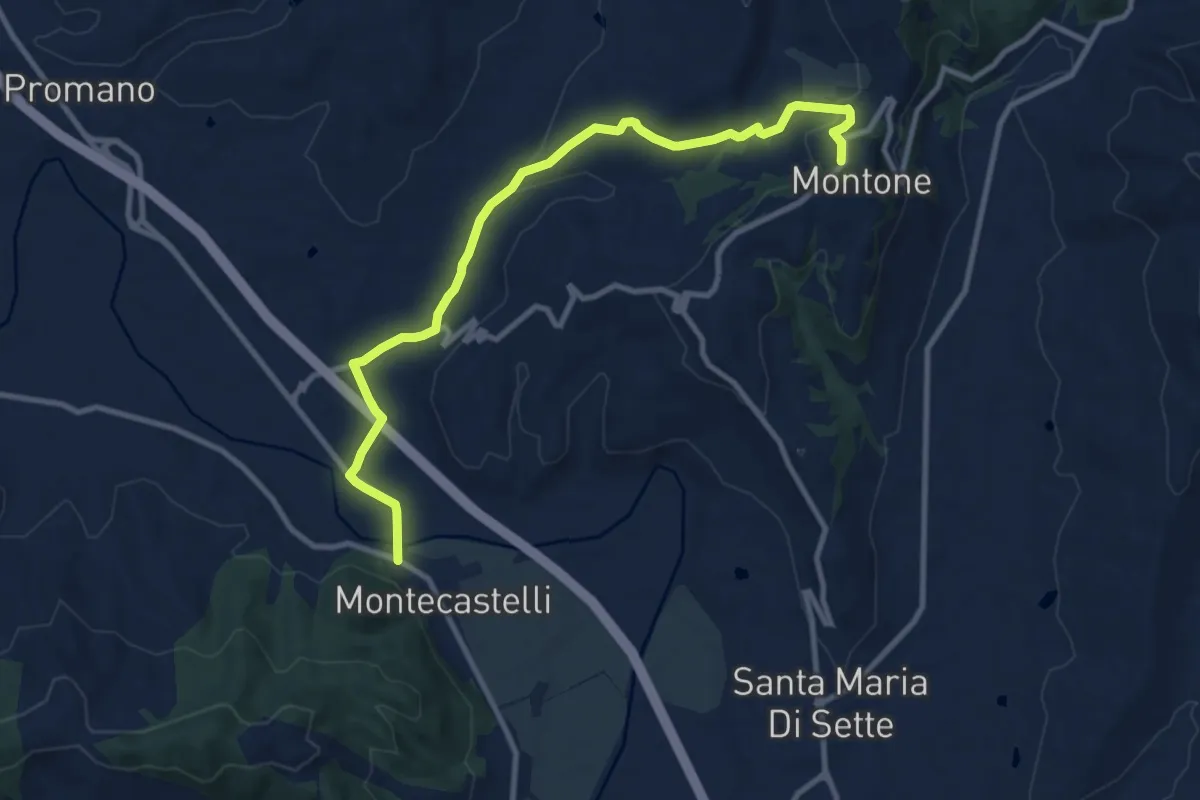
Medium · Trail
Montecastelli – Montone
11.5 km · ↑ 241 m · 3 h 15 min · 6 km away
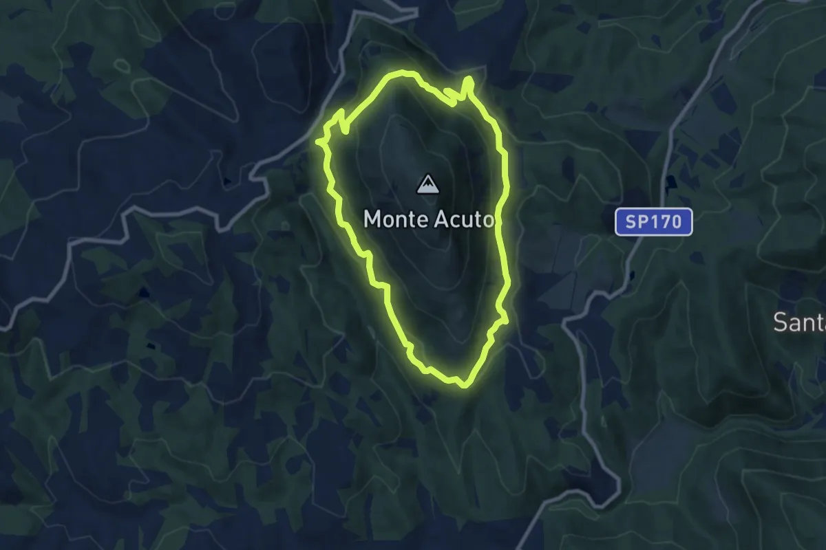
Medium · Trail
Anello di Monte Acuto
8.0 km · ↑ 429 m · 2 h 56 min · 7 km away
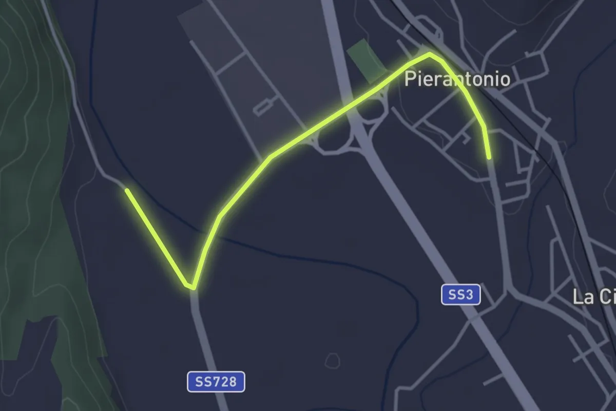
Easy · Trail
Pierantonio – Intersezione percorso 166
3.6 km · ↑ 34 m · 56 min · 7 km away
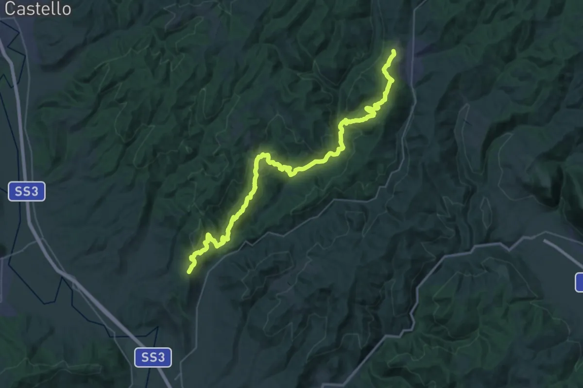
Demanding · Trail
Montone – Pietralunga
18.5 km · ↑ 806 m · 6 h 18 min · 7 km away
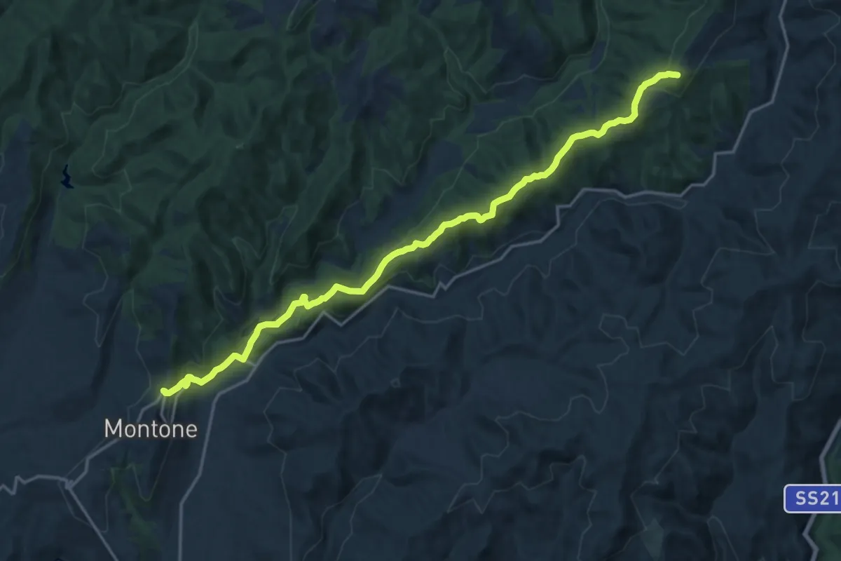
Demanding · Summit
Montone – Pietralunga innesto percorso 114
18.7 km · ↑ 668 m · 5 h 51 min · 7 km away
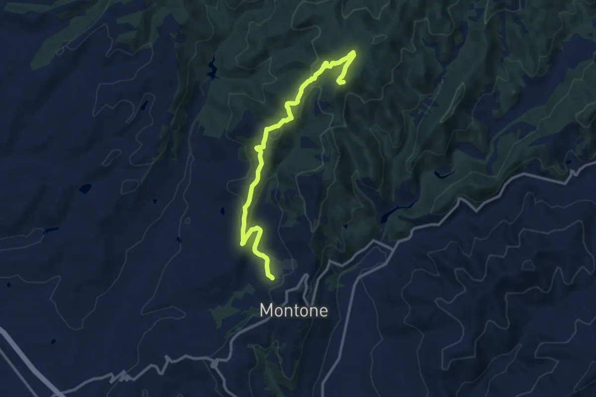
Medium · Trail
Pieve San Gregorio – Intersezione sentiero 111
10.9 km · ↑ 392 m · 3 h 26 min · 7 km away
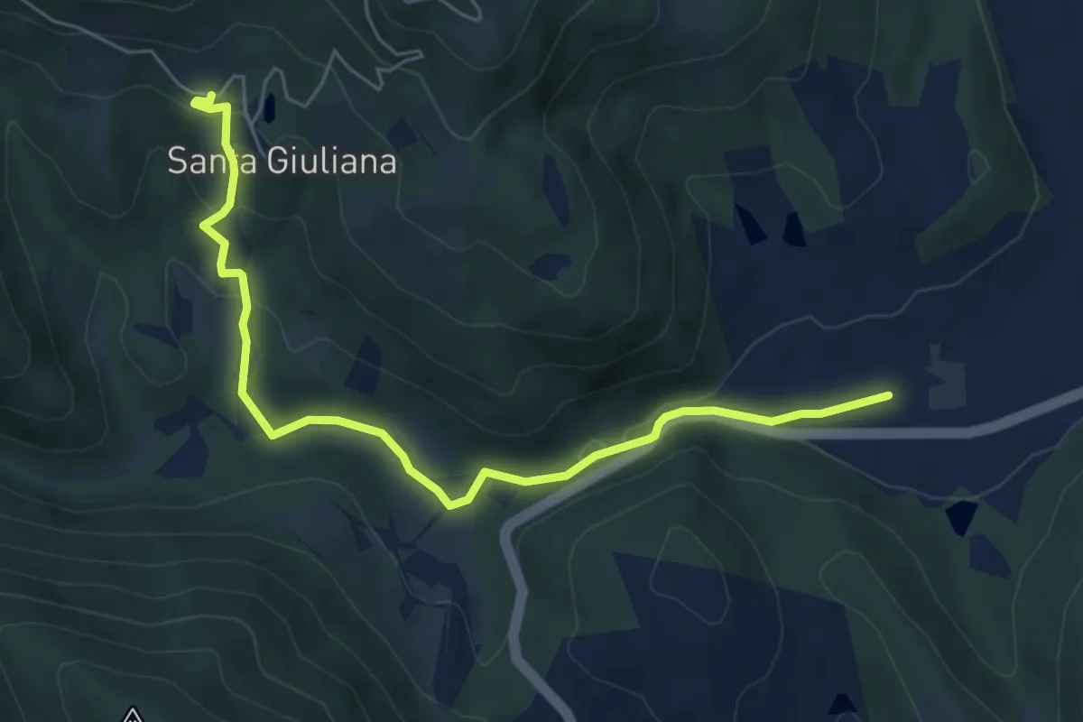
Easy · Trail
Borgo di Santa Giuliana – Intersezione percorso 166
6.6 km · ↑ 193 m · 1 h 58 min · 7 km away
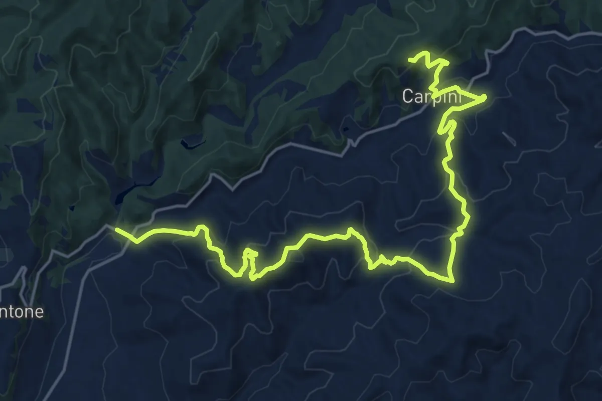
Demanding · Trail
Tre Ponti – Intersezione percorso 115
21.1 km · ↑ 1083 m · 7 h 20 min · 7 km away
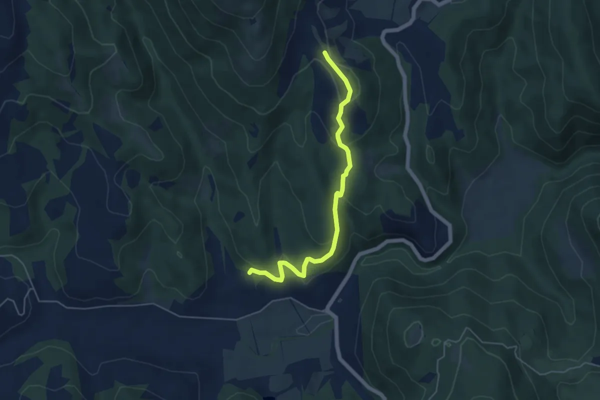
Easy · Trail
Galera – Pian di Nese
5.0 km · ↑ 176 m · 1 h 34 min · 8 km away
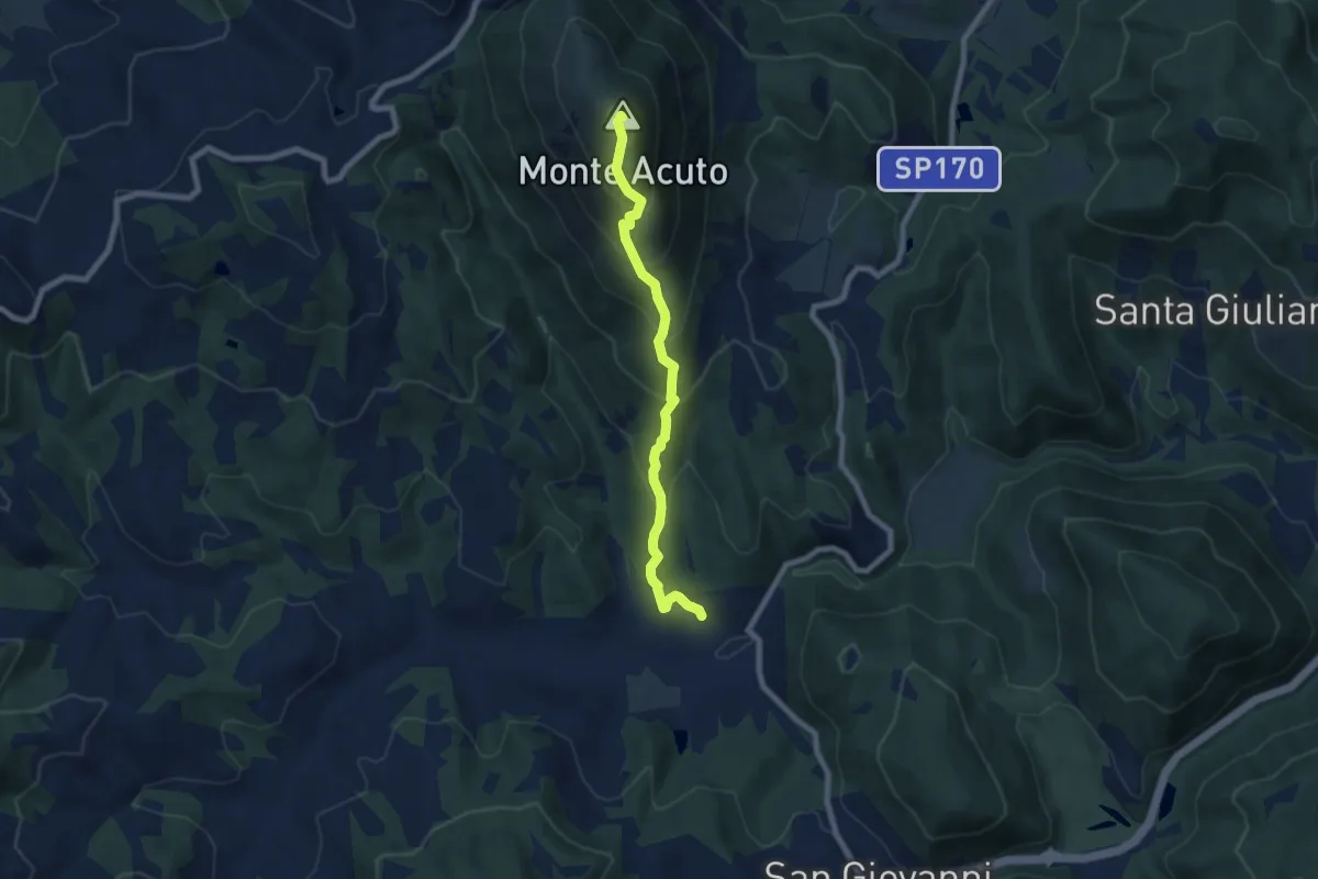
Medium · Summit
Traversata di Monte Acuto
7.4 km · ↑ 606 m · 3 h 4 min · 8 km away
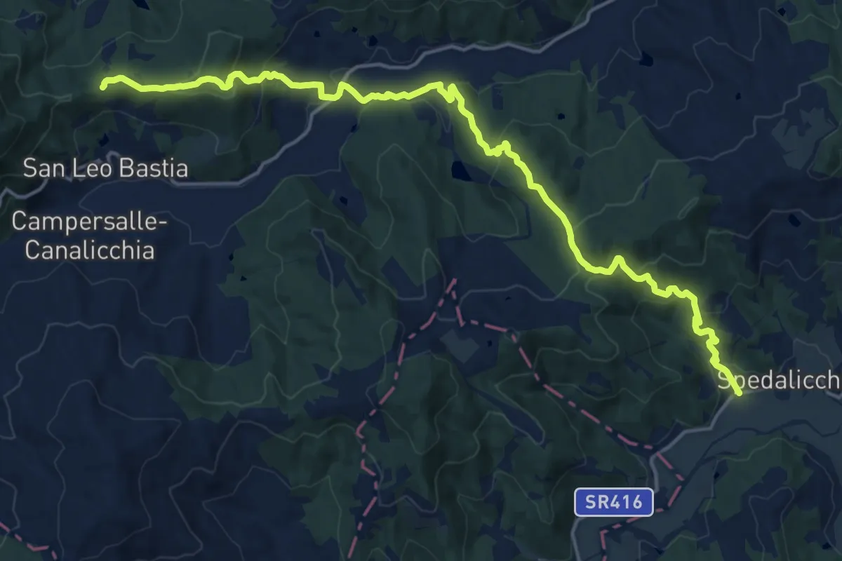
Demanding · Trail
Spedalicchio – Intersezione percorso 157
20.4 km · ↑ 924 m · 6 h 49 min · 9 km away
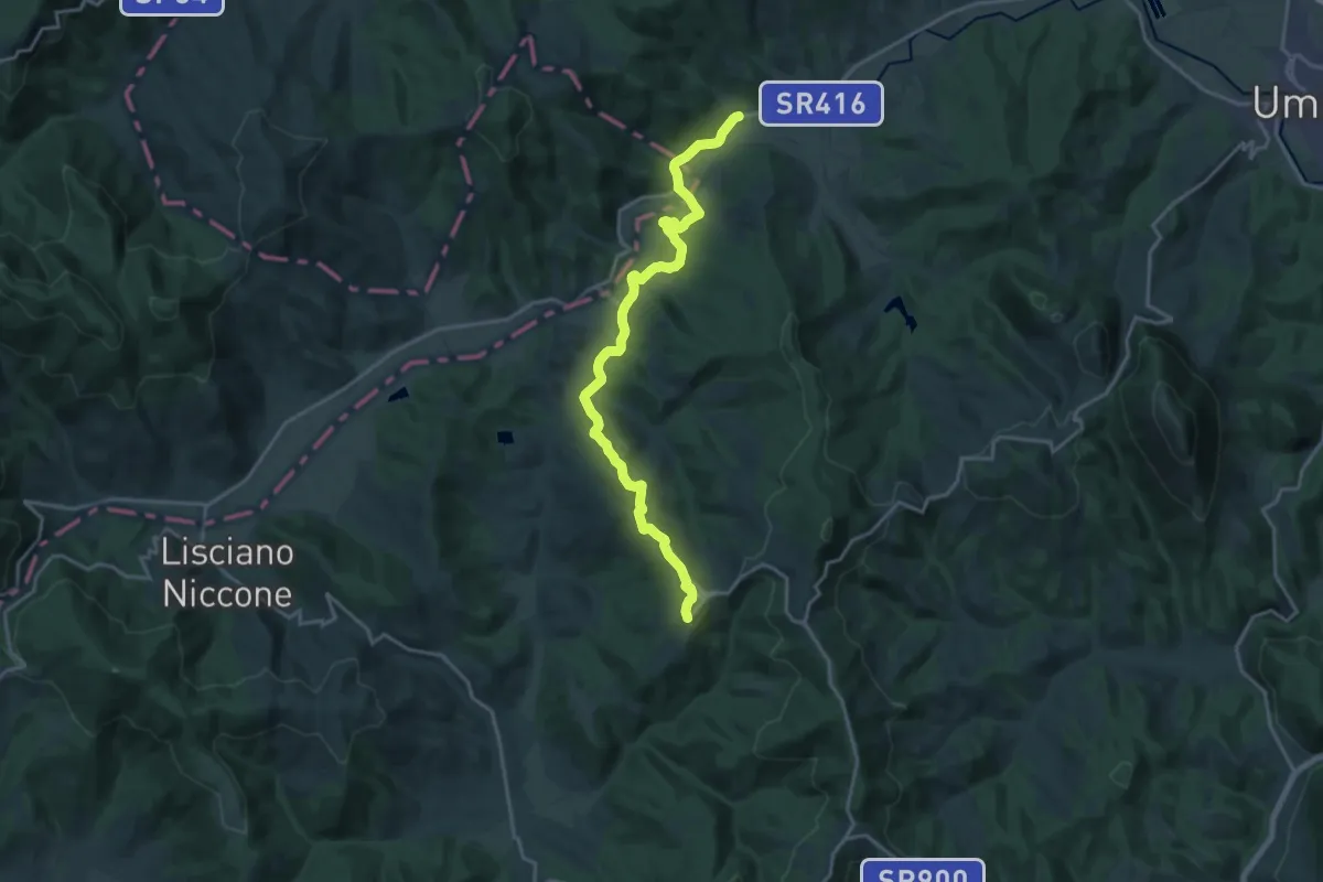
Demanding · Trail
Spedalicchio – Preggio
20.2 km · ↑ 552 m · 5 h 58 min · 9 km away
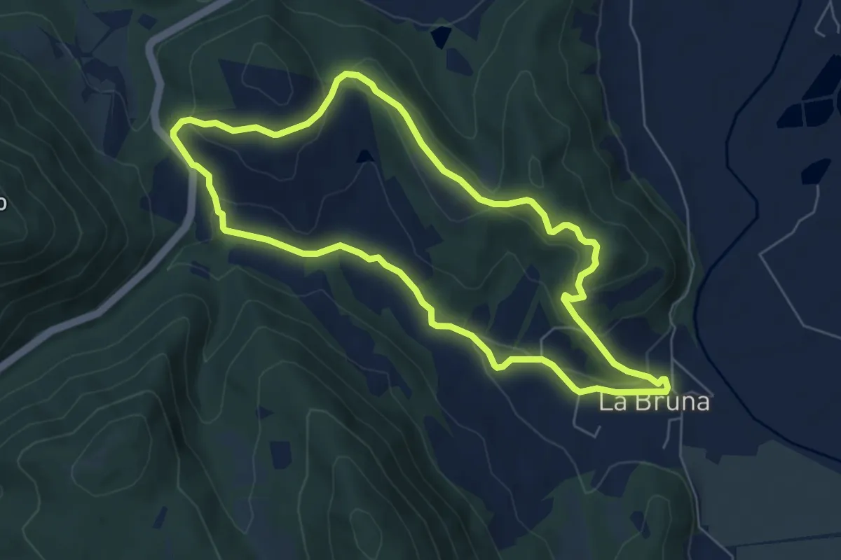
Easy · Trail
Castiglione Ugolino
6.4 km · ↑ 211 m · 2 h 4 min · 9 km away
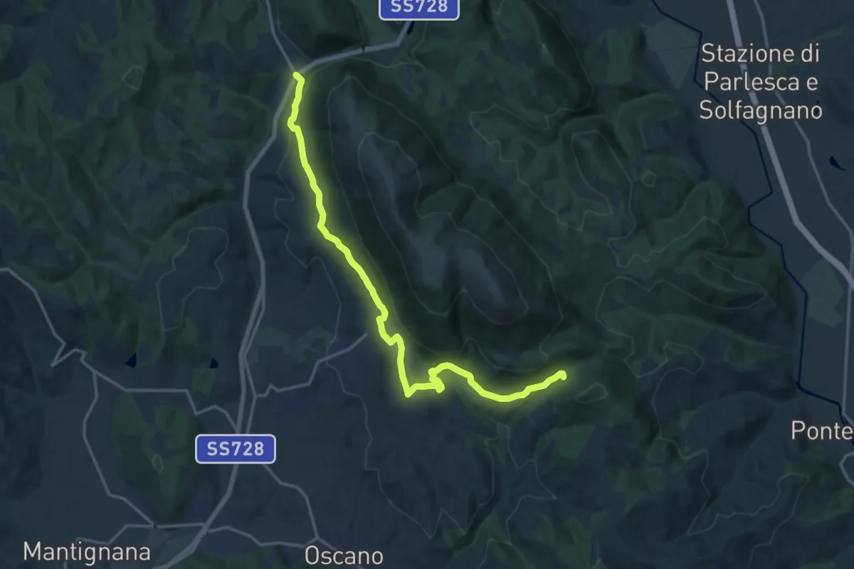
Medium · Trail
Colognola – San Giovanni del Pantano
17.9 km · ↑ 459 m · 5 h 13 min · 9 km away
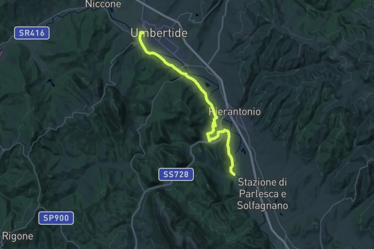
Demanding · Trail
Umbertide – La Bruna
27.3 km · ↑ 422 m · 7 h 22 min · 9 km away
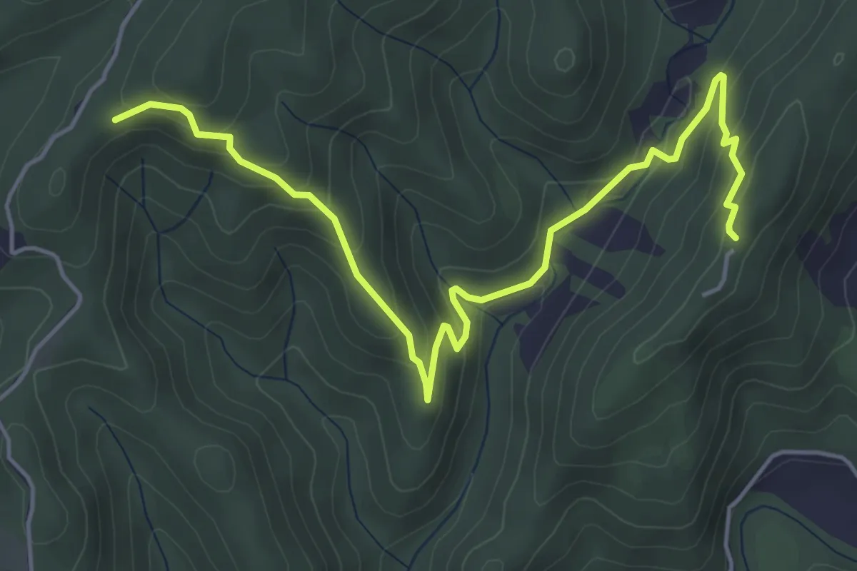
Medium · Trail
Rocca d'Aries – Monte Gengarella
6.0 km · ↑ 328 m · 2 h 8 min · 9 km away
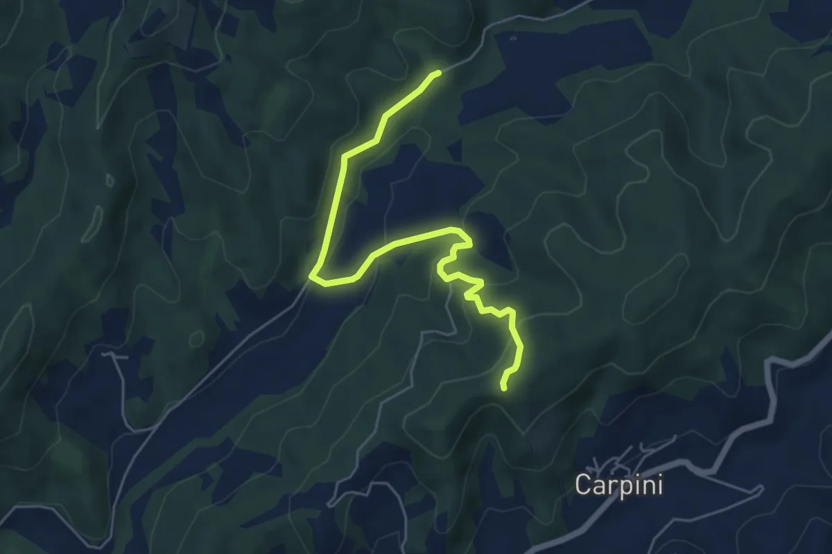
Easy · Trail
Madonna dei Nespoli intersezione percorso 115 – Intersezione percorso 114
5.7 km · ↑ 241 m · 1 h 53 min · 10 km away
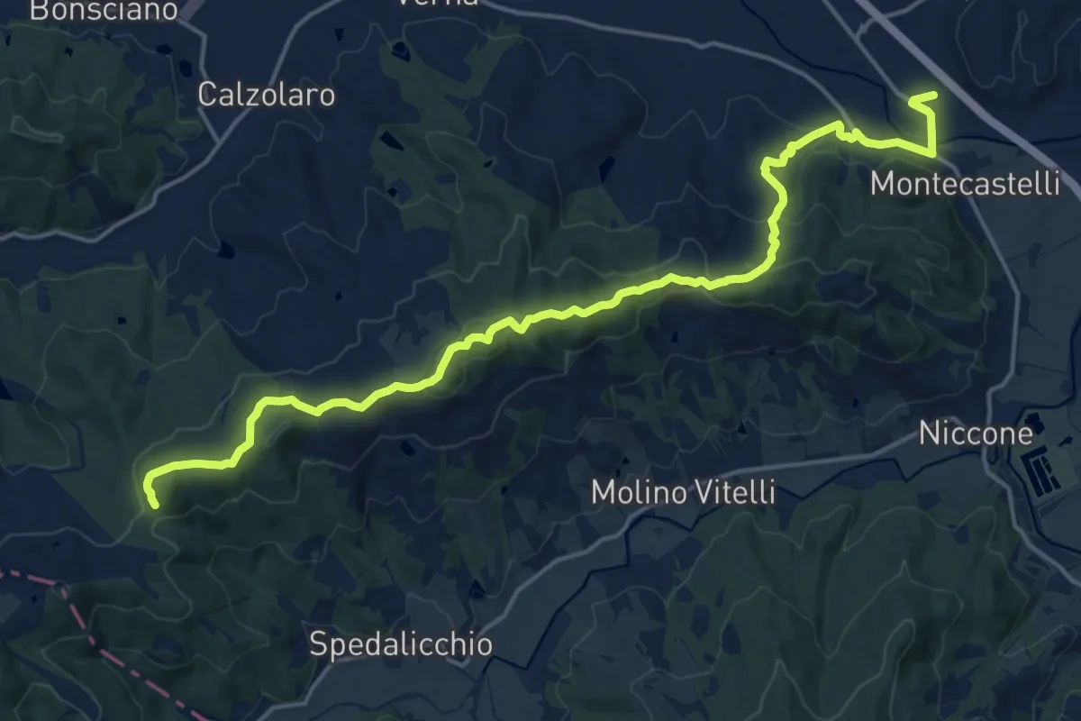
Demanding · Trail
Montecastelli – La Rocca
19.8 km · ↑ 575 m · 5 h 56 min · 10 km away
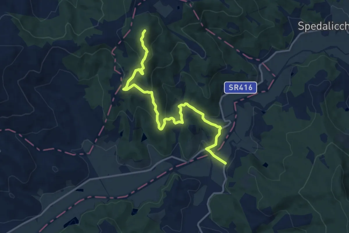
Medium · Summit
Sentiero 162 – Sentiero 163
12.6 km · ↑ 480 m · 4 h 1 min · 11 km away
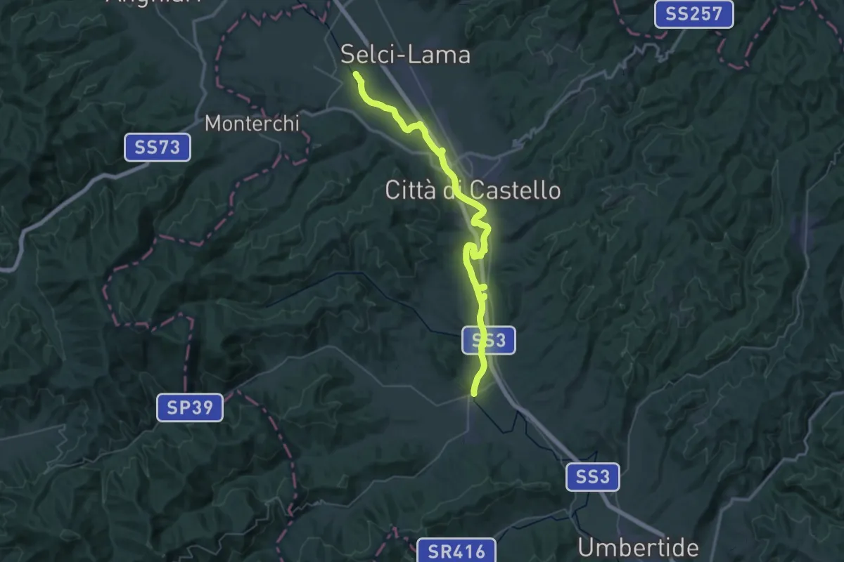
Demanding · Trail
Selci – Trestina
23.2 km · ↑ 40 m · 5 h 52 min · 11 km away
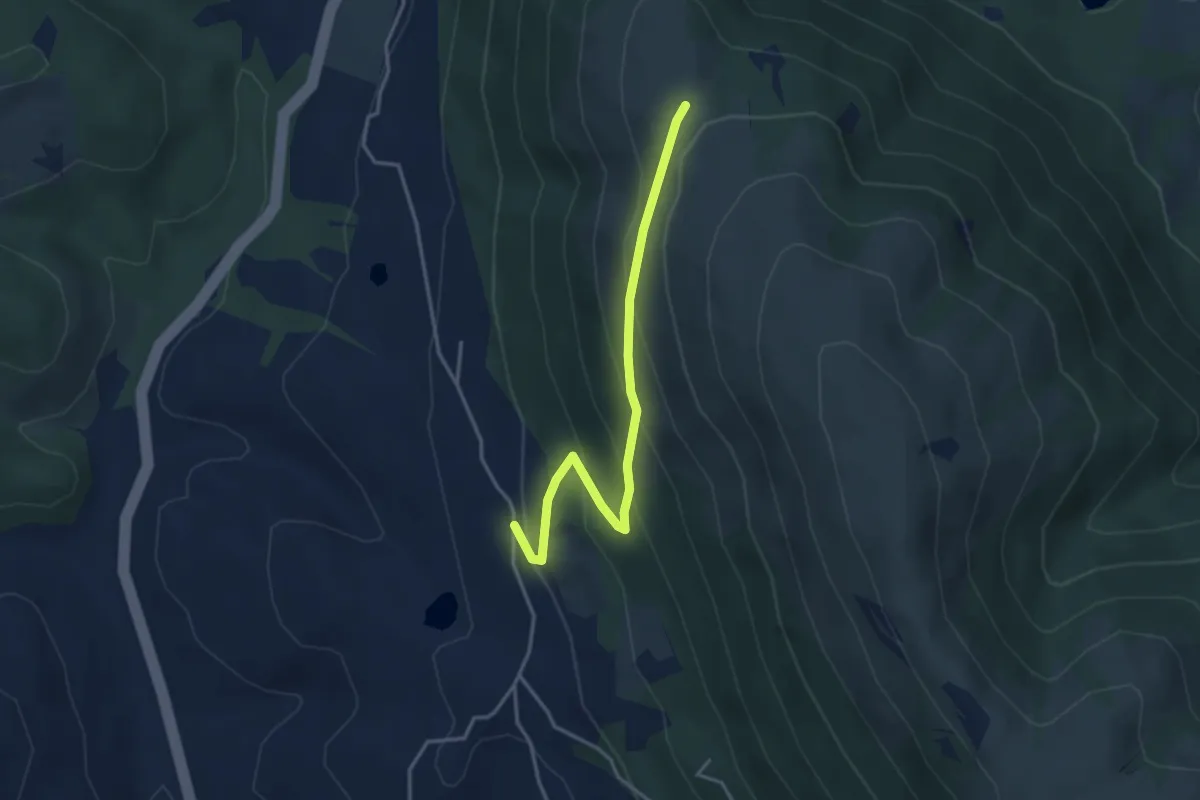
Easy · Trail
Pieve Petroia – Sentiero 962
3.9 km · ↑ 247 m · 1 h 27 min · 11 km away
Demanding · Trail
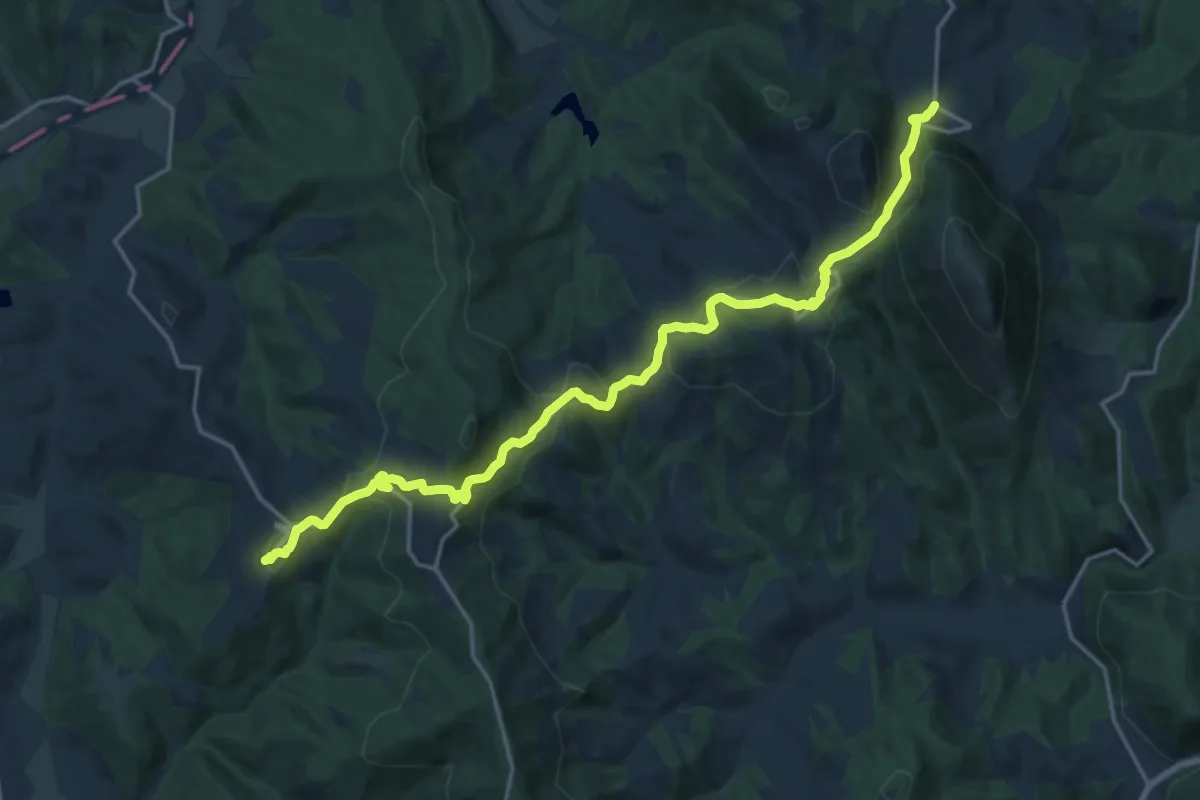
Preggio – Palazzetto
20.3 km · ↑ 821 m · 6 h 34 min · 12 km away
Demanding · Trail
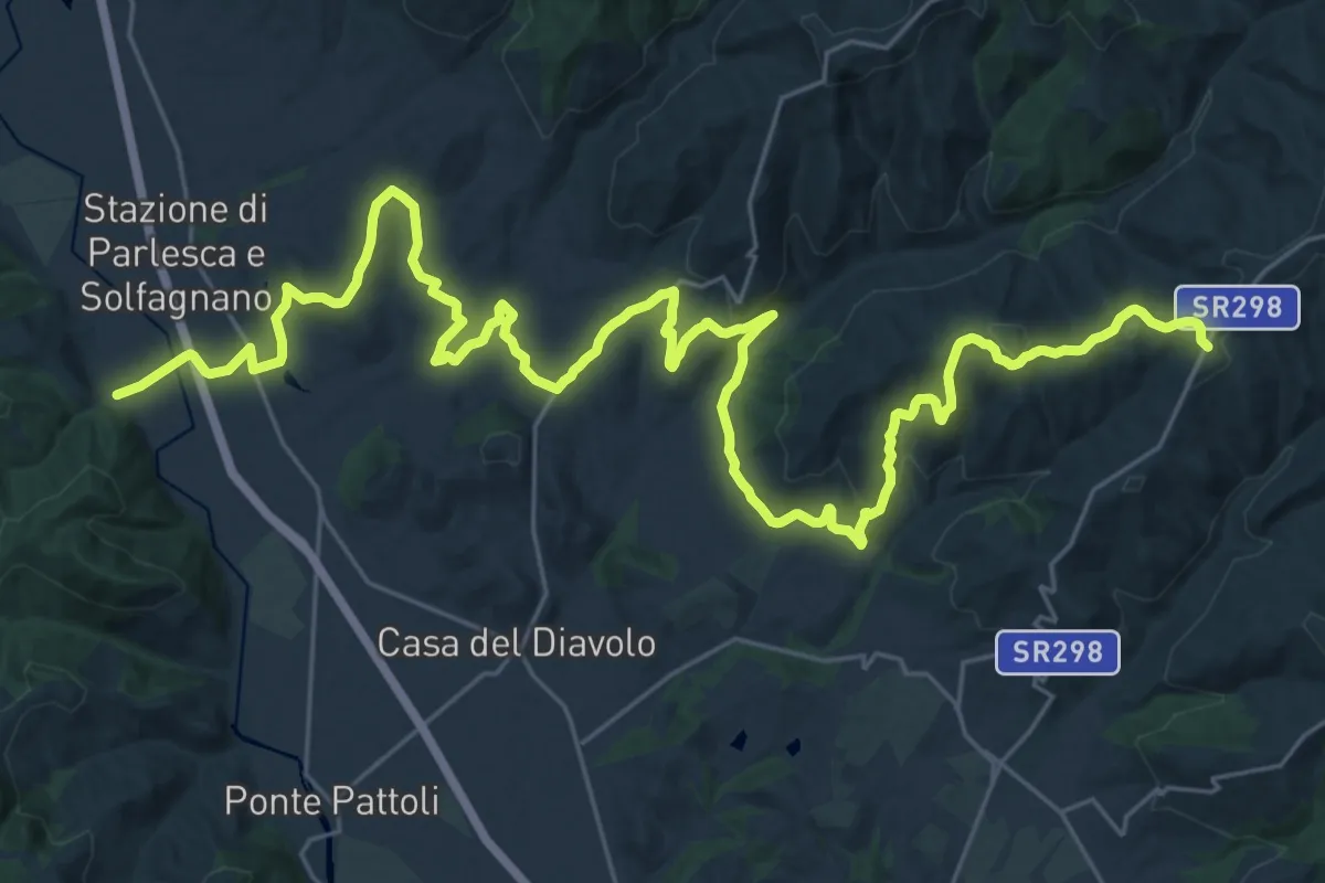
Pieve S. Quirico – Casacce
21.6 km · ↑ 713 m · 6 h 45 min · 12 km away
Demanding · Trail
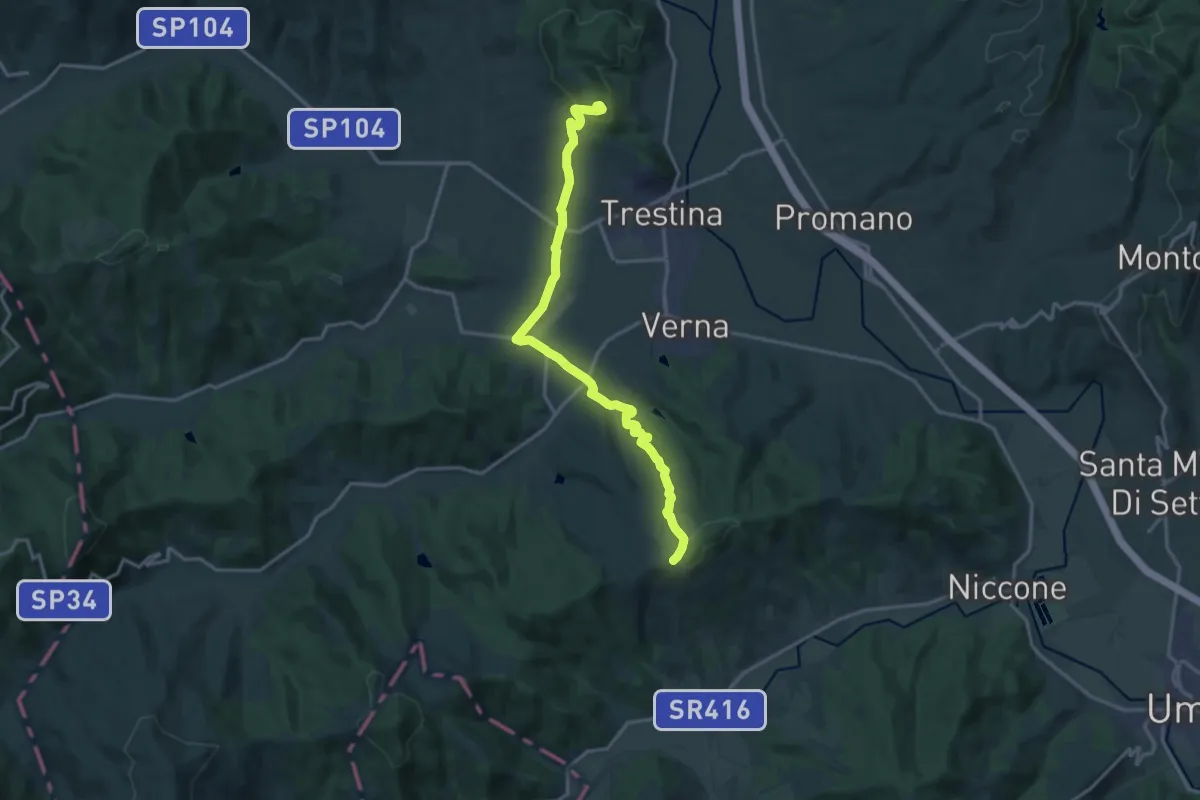
Sant'Anna – Canoscio
18.1 km · ↑ 530 m · 5 h 25 min · 12 km away
Easy · Trail
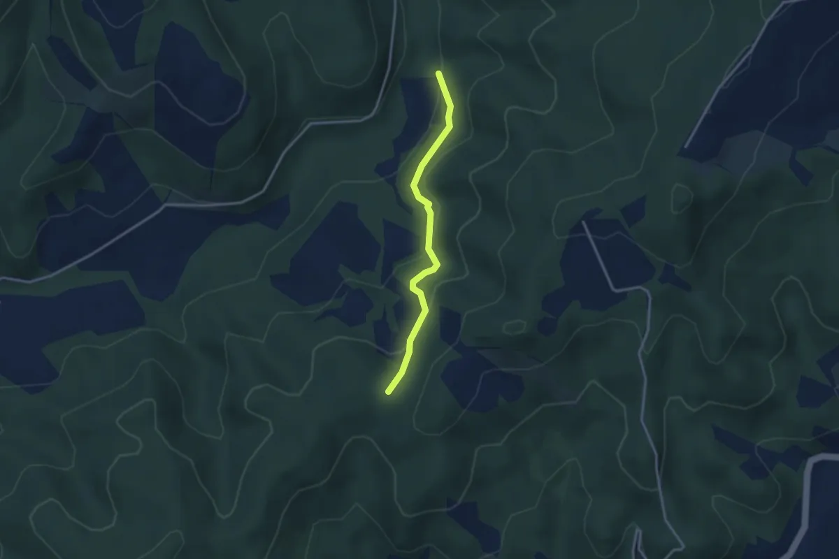
Bagno intersezione percorso 114 – Caignani intersezione percorso 115
2.8 km · ↑ 128 m · 57 min · 13 km away
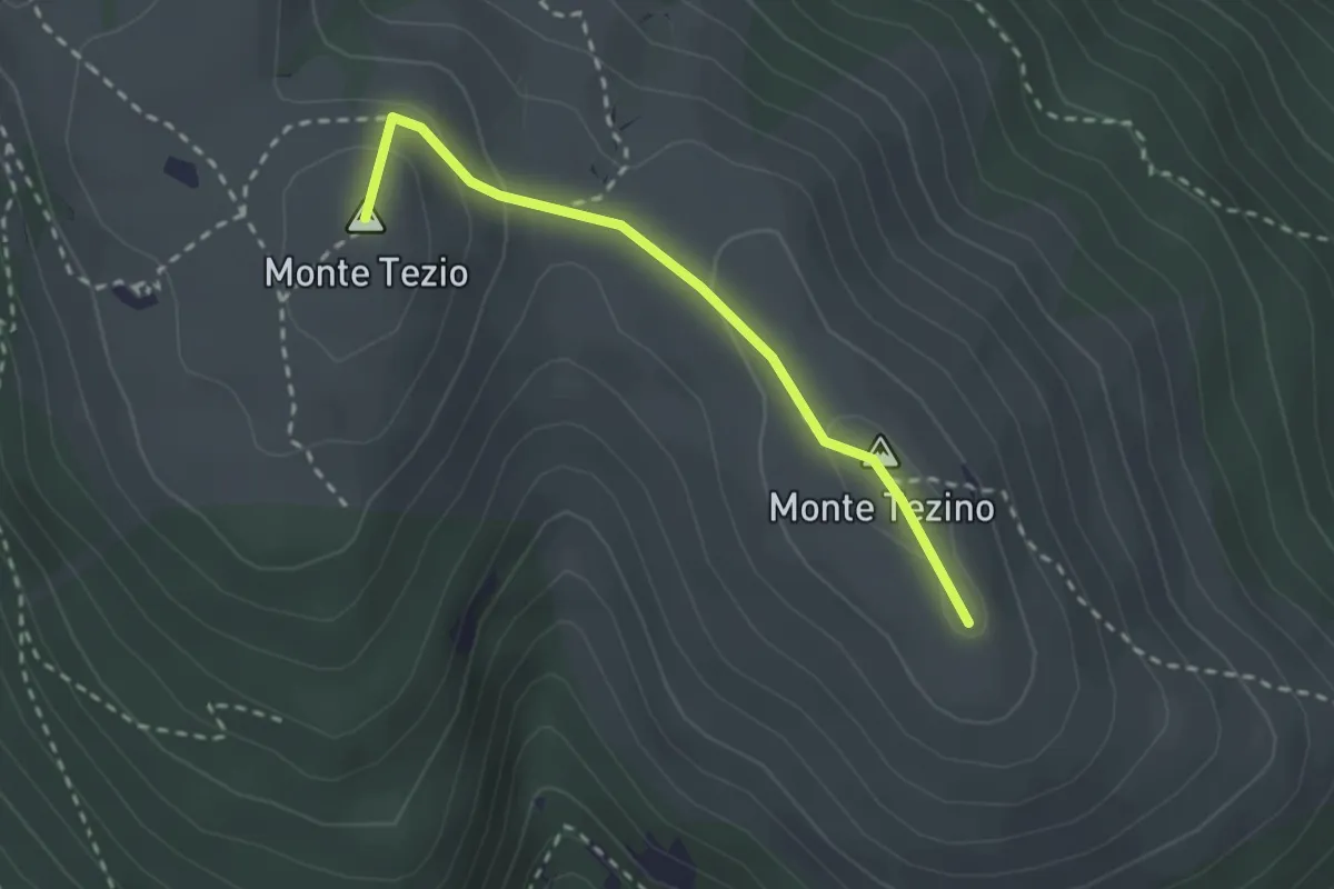
Easy · Summit
Monte Tezio – Monte Tezino
2.5 km · ↑ 98 m · 48 min · 13 km away
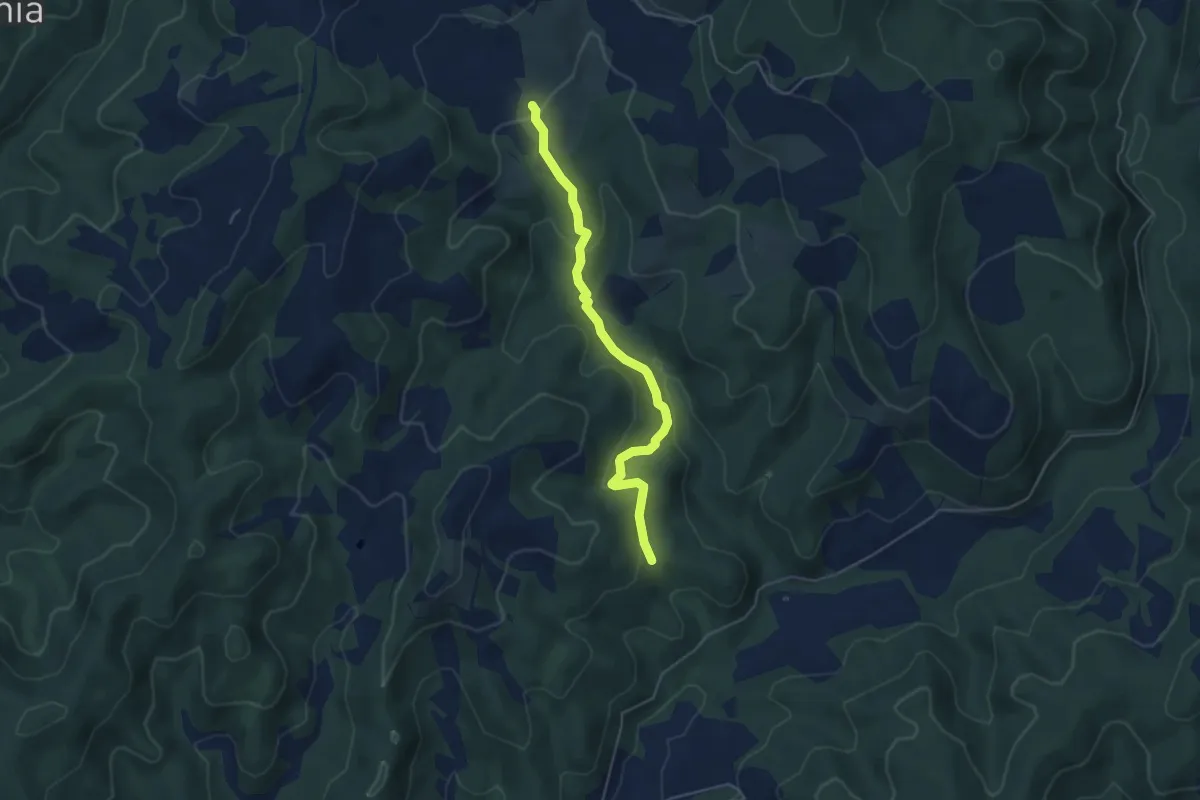
Easy · Trail
Pieve dei Saddi – Intersezione percorso 114 Coloti
4.9 km · ↑ 169 m · 1 h 32 min · 13 km away
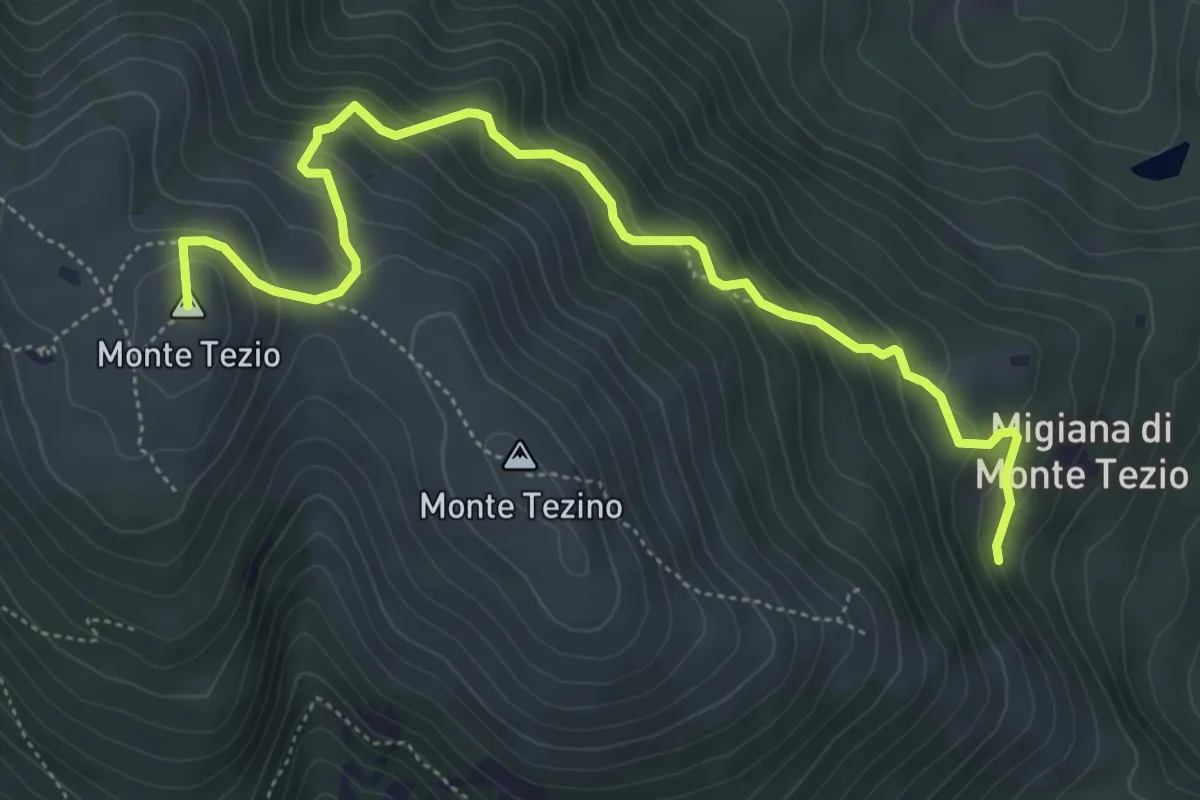
Medium · Summit
Monte Tezio Migiana
6.3 km · ↑ 448 m · 2 h 27 min · 13 km away
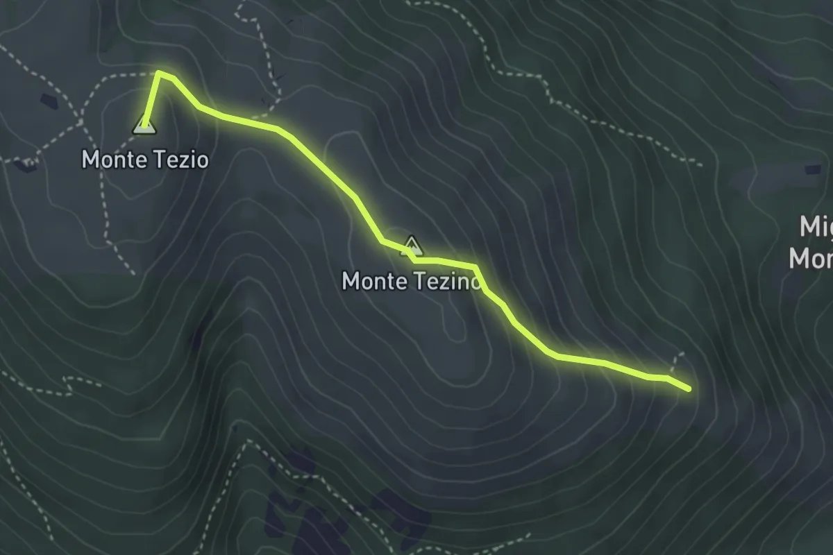
Medium · Summit
Monte Tezio Croce Fontenuova
3.8 km · ↑ 300 m · 1 h 32 min · 13 km away
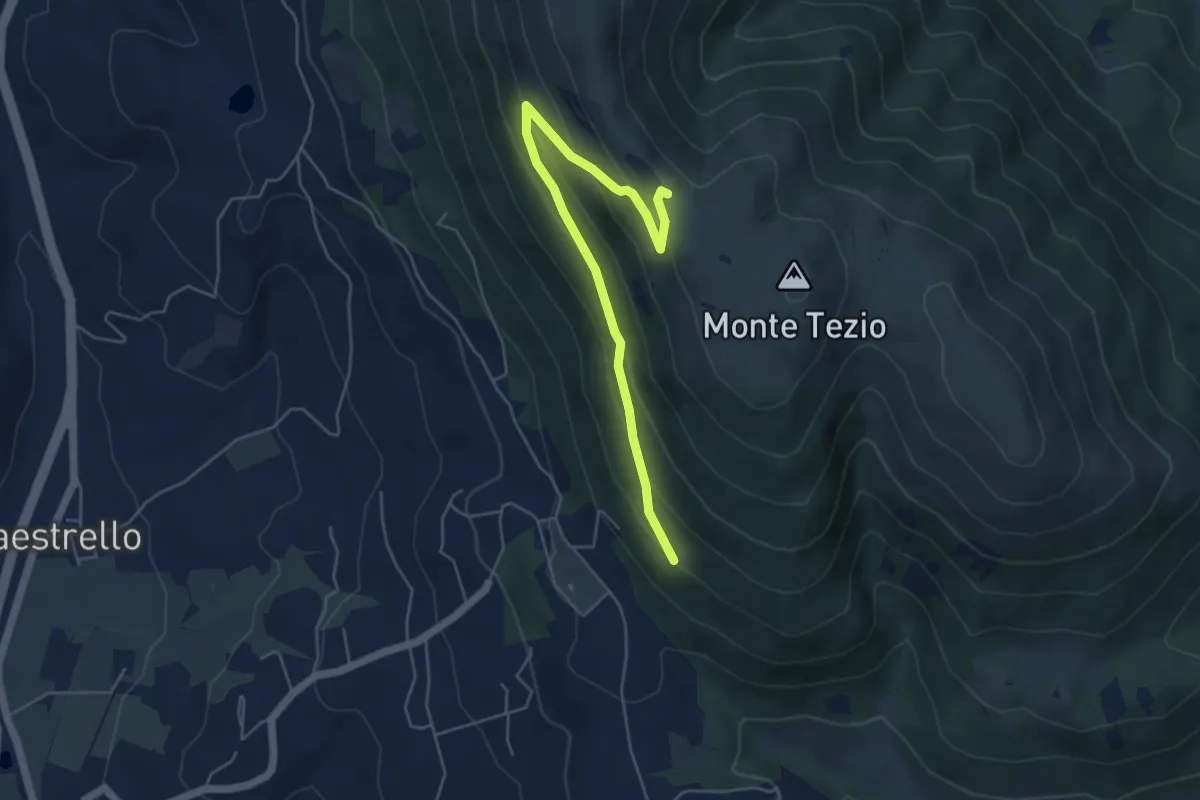
Medium · Trail
Monte Tezio Miralago
5.6 km · ↑ 291 m · 1 h 57 min · 13 km away
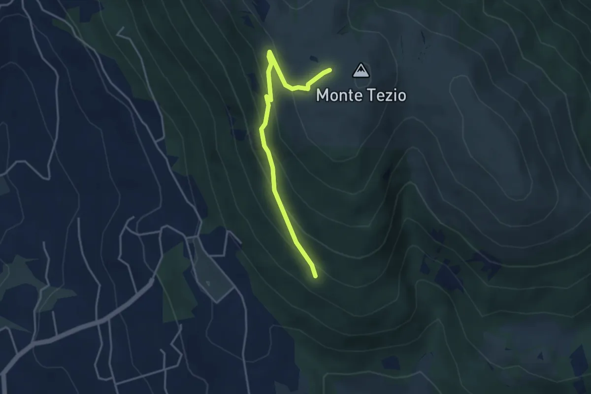
Easy · Trail
Monte Tezio Le Neviere
3.7 km · ↑ 252 m · 1 h 25 min · 13 km away
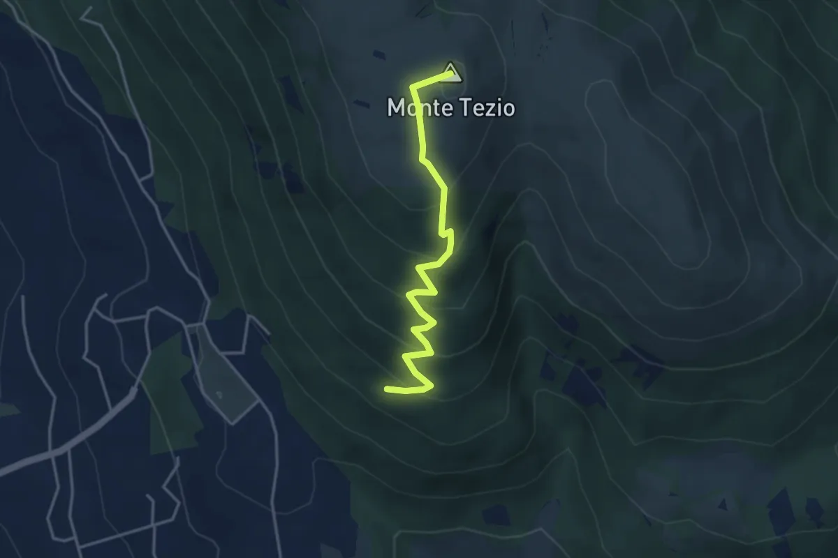
Medium · Summit
Infopoint Belvedere – C. Pavia
3.7 km · ↑ 270 m · 1 h 27 min · 13 km away
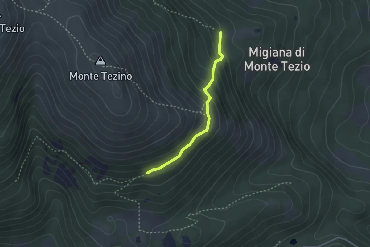
Easy · Trail
Monte Tezio Castel Procoio
2.5 km · ↑ 152 m · 56 min · 13 km away
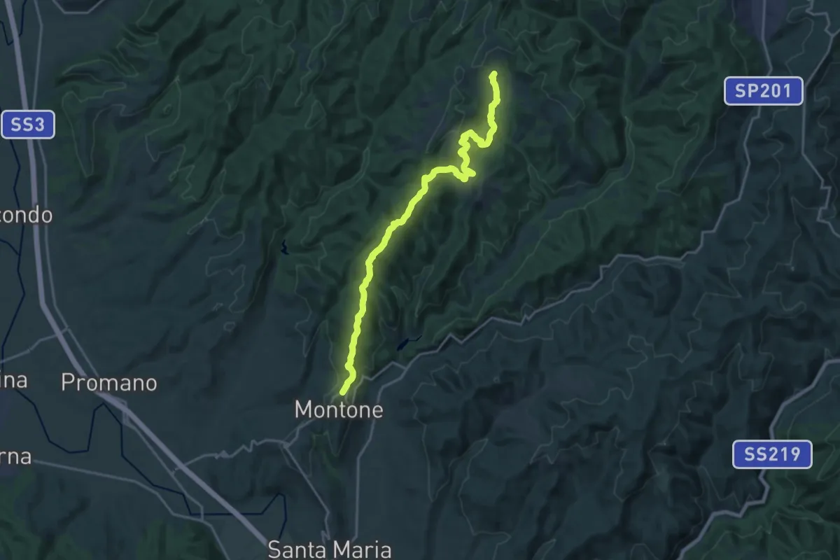
Demanding · Trail
Montone – Pieve di Saddi
19.8 km · ↑ 714 m · 6 h 13 min · 13 km away
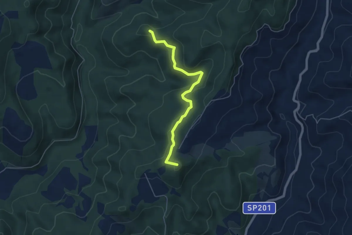
Easy · Summit
Intersezione percorso 114 Picciati – Intersezione percorso 115 Spesce
4.8 km · ↑ 166 m · 1 h 30 min · 14 km away
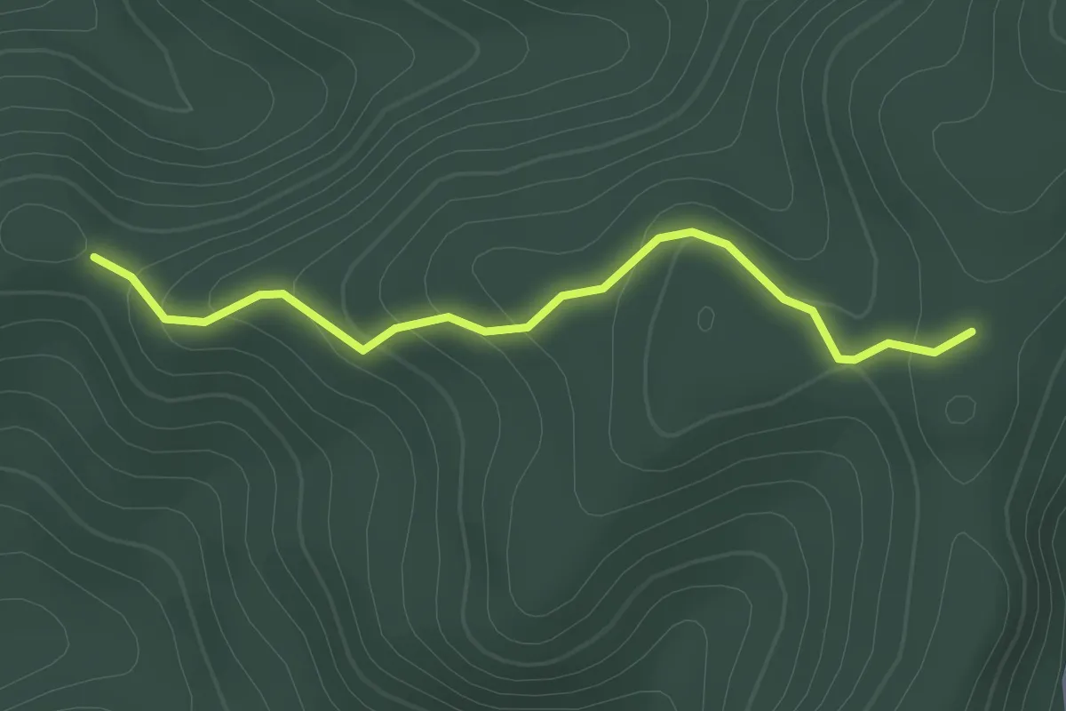
Easy · Trail
Intersezione percorso 114 Picciati – Intersezione percorso 115
2.2 km · ↑ 115 m · 46 min · 14 km away
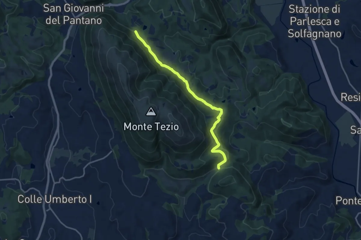
Medium · Trail
Monte Tezio - C. Pavia
11.7 km · ↑ 390 m · 3 h 37 min · 14 km away