Trails near Vaiano
141 hikes starting within 15 km, nearest first.
Nearest first, page 2 of 3
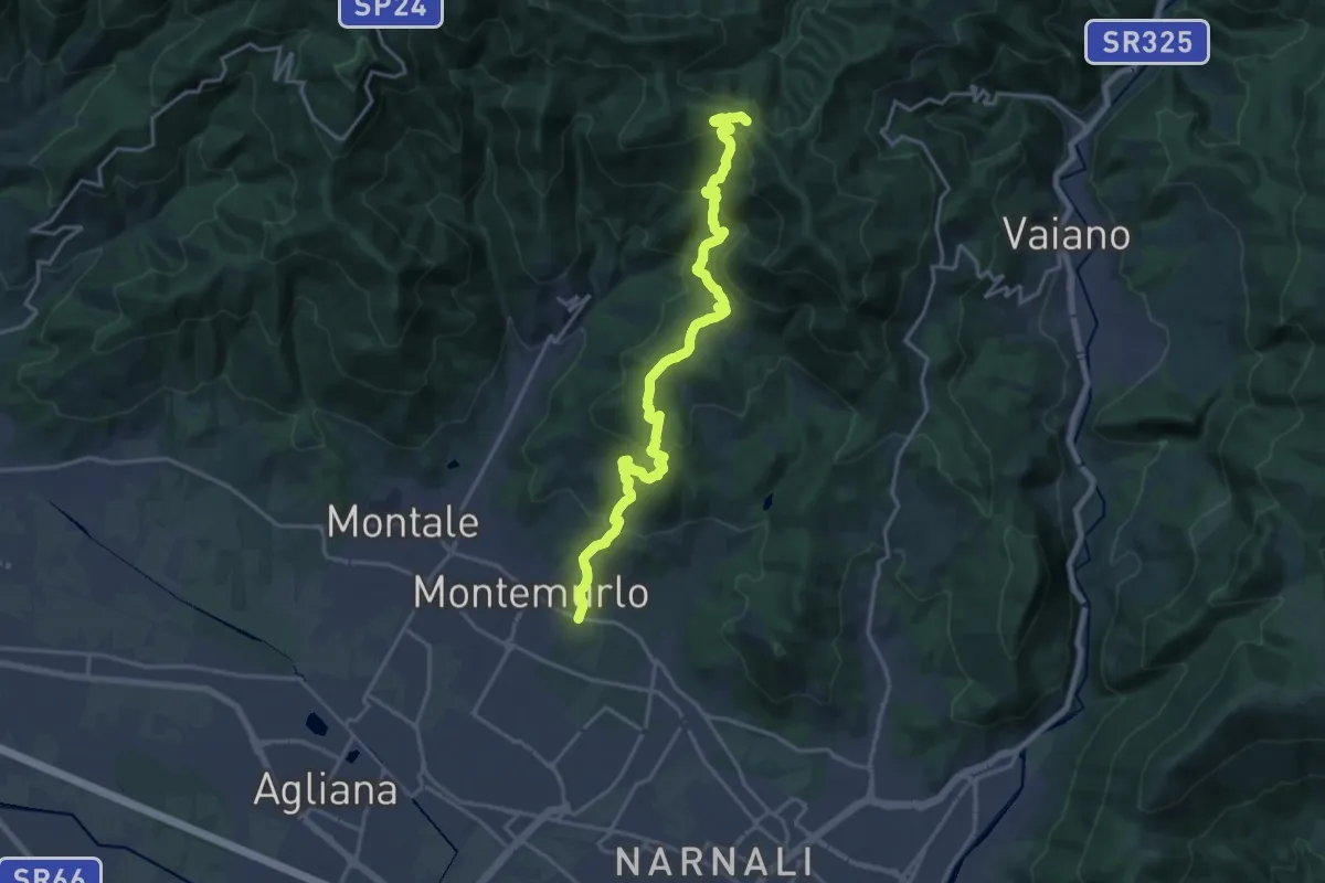
Demanding · Trail
Montemurlo (PO) – Le Cavallaie (PO)
20.8 km · ↑ 1015 m · 7 h 7 min · 8 km away
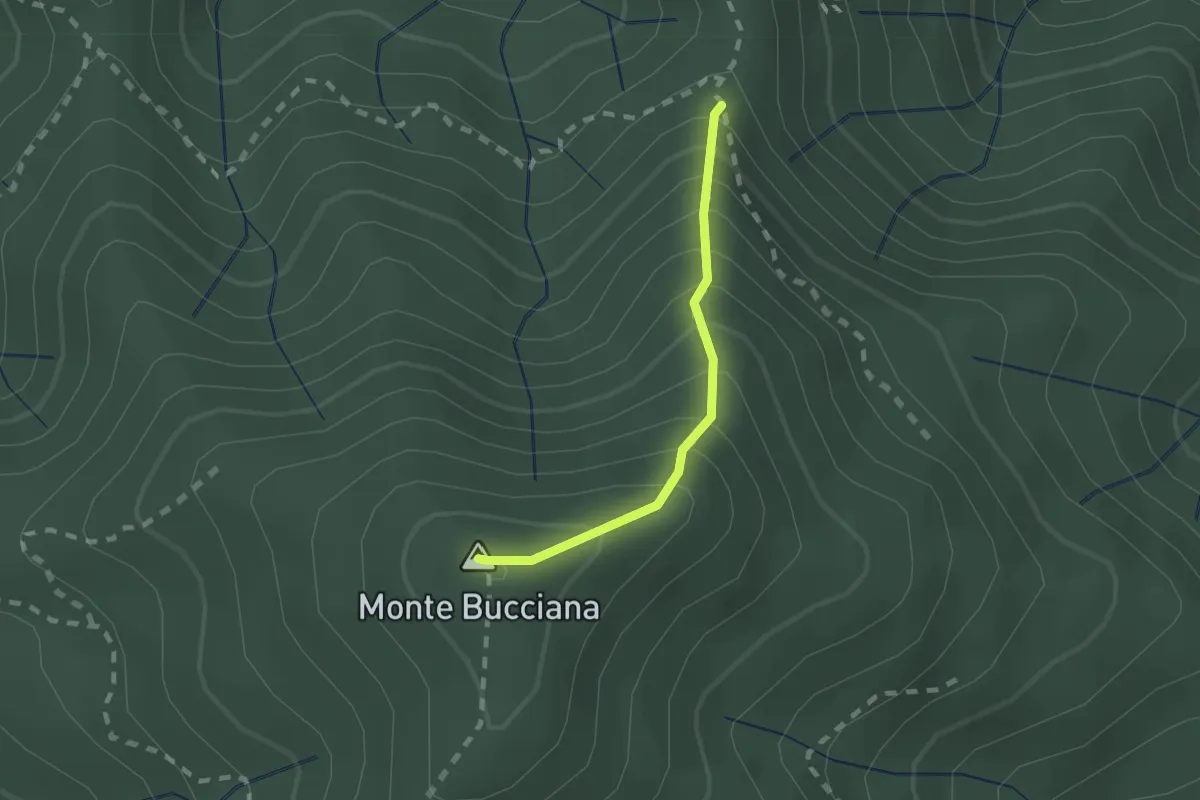
Demanding · Summit
foce di Cerbiancana – Le Cerchiaia/Fregionaia
1.5 km · ↑ 251 m · 54 min · 8 km away
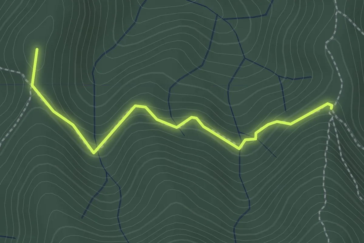
Medium · Summit
Sella della Scavata – Fregionaia
2.3 km · ↑ 98 m · 45 min · 8 km away
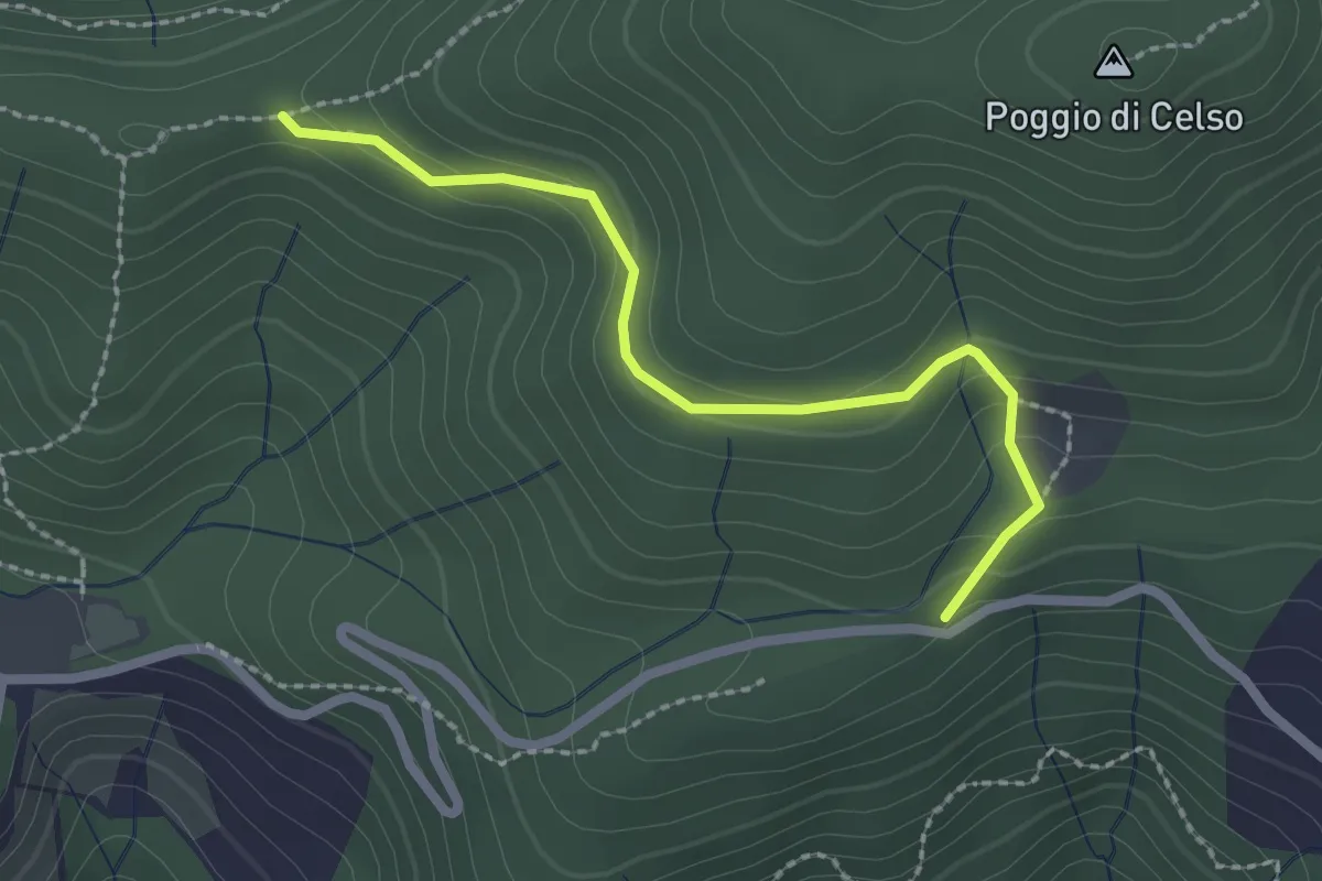
Easy · Trail
Antenna Acquiputoli – Uccelliera
2.4 km · ↑ 115 m · 48 min · 8 km away
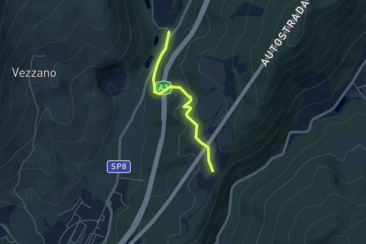
Easy · Trail
La Cassiana – Collina
3.9 km · ↑ 134 m · 1 h 13 min · 8 km away
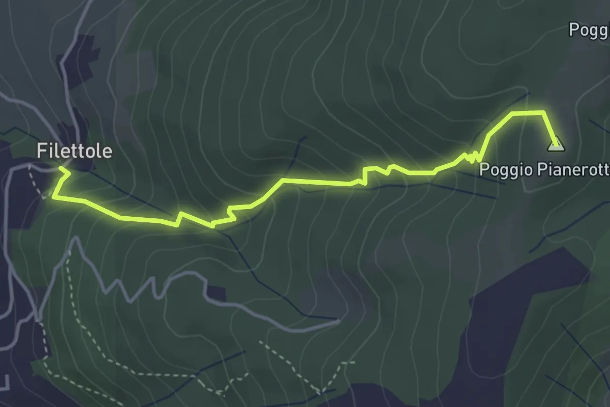
Medium · Summit
Filettole – Via di Travalle
4.1 km · ↑ 363 m · 1 h 45 min · 9 km away
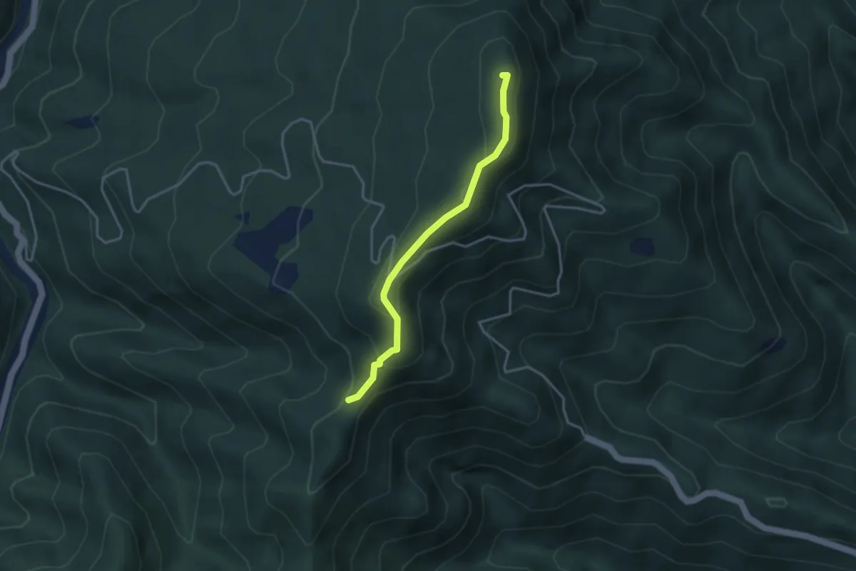
Easy · Summit
Passo di trebbio – Passo delle Pescine
3.2 km · ↑ 176 m · 1 h 9 min · 9 km away
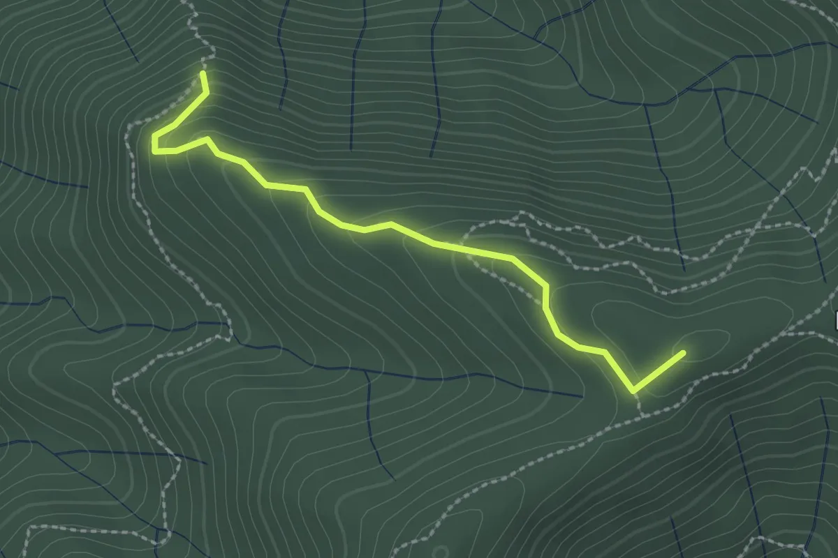
Easy · Summit
Pian Cassai – Foce dei Giganti
2.4 km · ↑ 155 m · 54 min · 9 km away
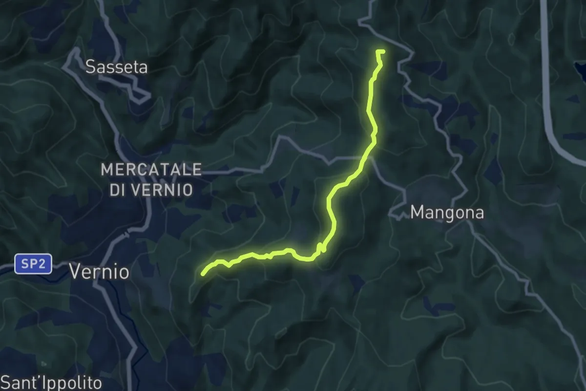
Medium · Summit
Trekking Parco Memoriale della Linea Gotica
8.1 km · ↑ 458 m · 2 h 55 min · 9 km away
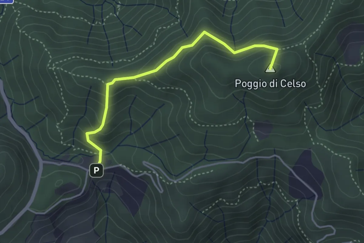
Medium · Summit
Cascina di Spedaletto – Culipiana
3.8 km · ↑ 299 m · 1 h 32 min · 9 km away
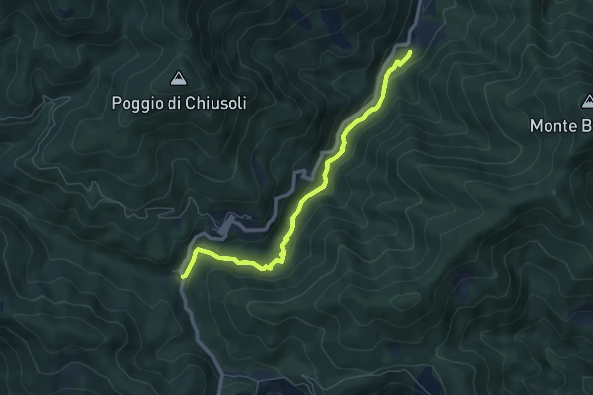
Easy · Trail
Cascina di Spedaletto – Ponte Secco al Monachino
6.2 km · ↑ 172 m · 1 h 50 min · 9 km away
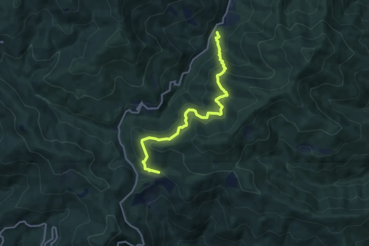
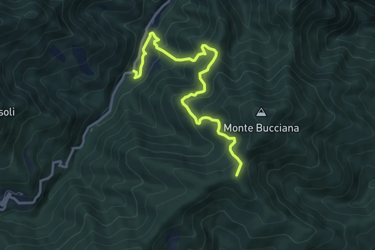
Medium · Cabin
Cascina Spedaletto – Madonna di Santo Stefano
8.9 km · ↑ 667 m · 3 h 32 min · 9 km away
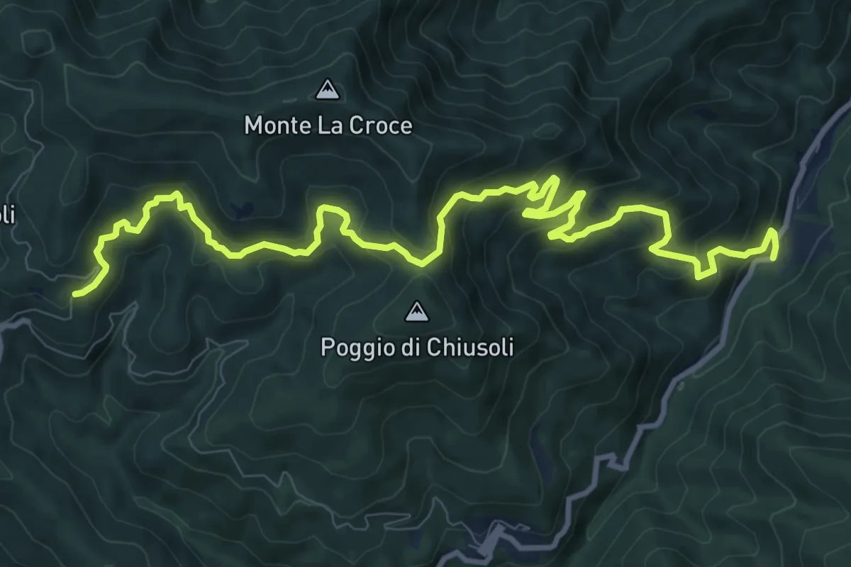
Medium · Summit
Ponticino Santo Stefano a Monachino – Foce di Cerbiancana
7.9 km · ↑ 587 m · 3 h 8 min · 9 km away
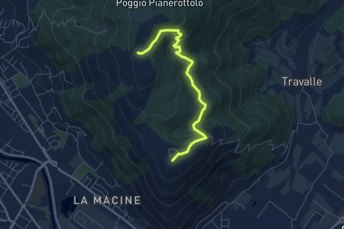
Demanding · Trail
Badia a Taona – Santo Stefano a Monachino
12.9 km · ↑ 801 m · 4 h 47 min · 9 km away
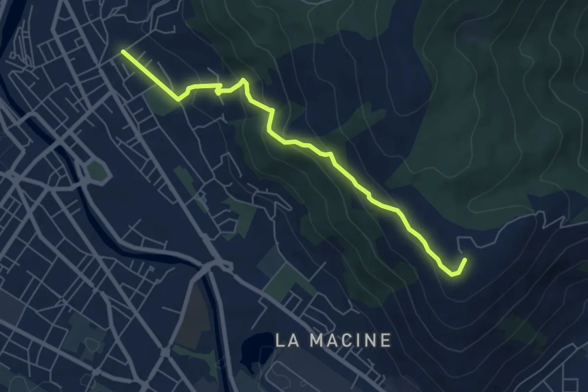
Easy · Summit
Case Castiglione – Casa Rossa
6.2 km · ↑ 273 m · 2 h 3 min · 9 km away
Medium · Summit
Prato (località Cappuccini) – poggio Castiglione
6.1 km · ↑ 326 m · 2 h 10 min · 9 km away
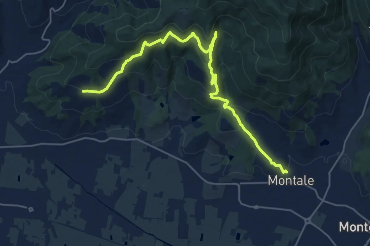
Medium · Trail
Montale Alto – San Quirico
16.4 km · ↑ 662 m · 5 h 18 min · 9 km away
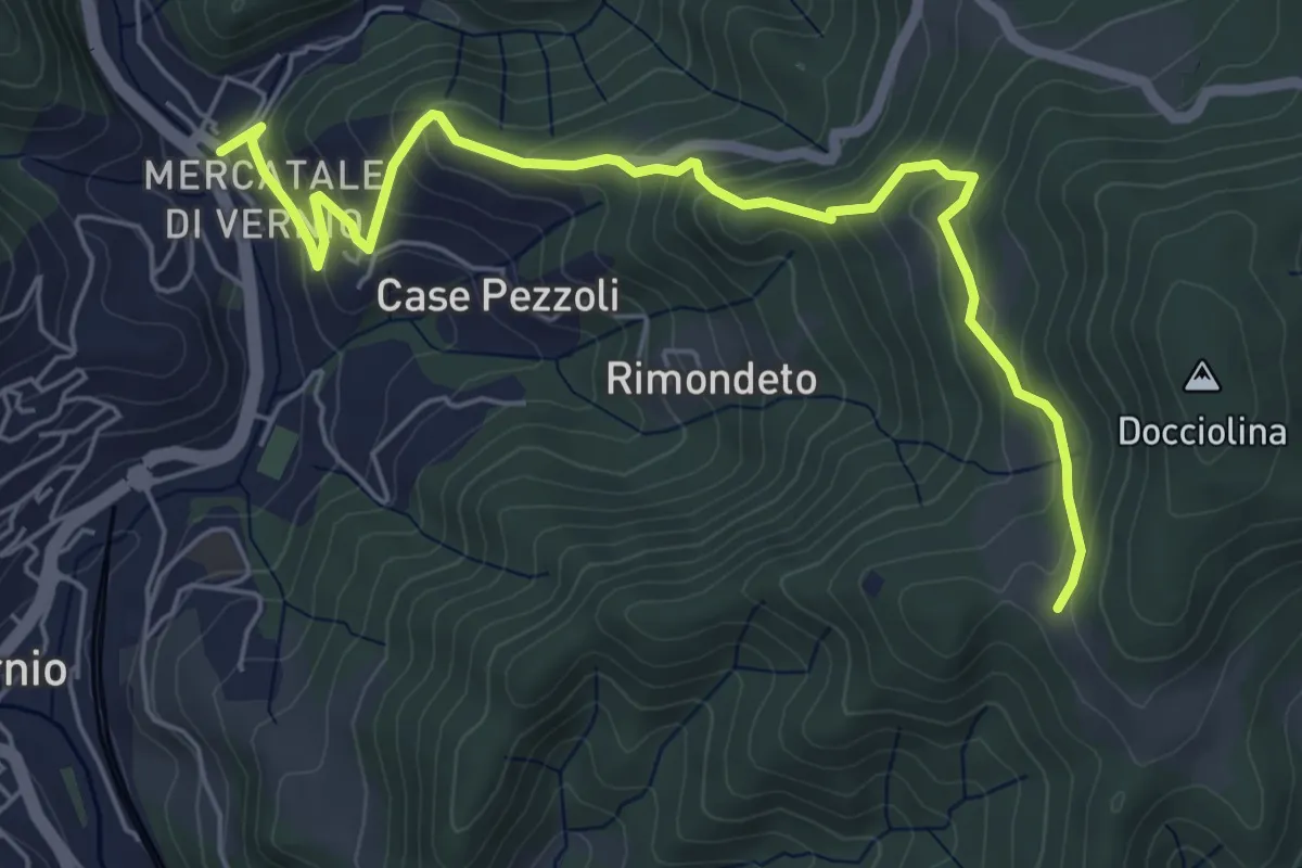
Medium · Trail
San Quirico – Le Soda
6.7 km · ↑ 398 m · 2 h 27 min · 9 km away
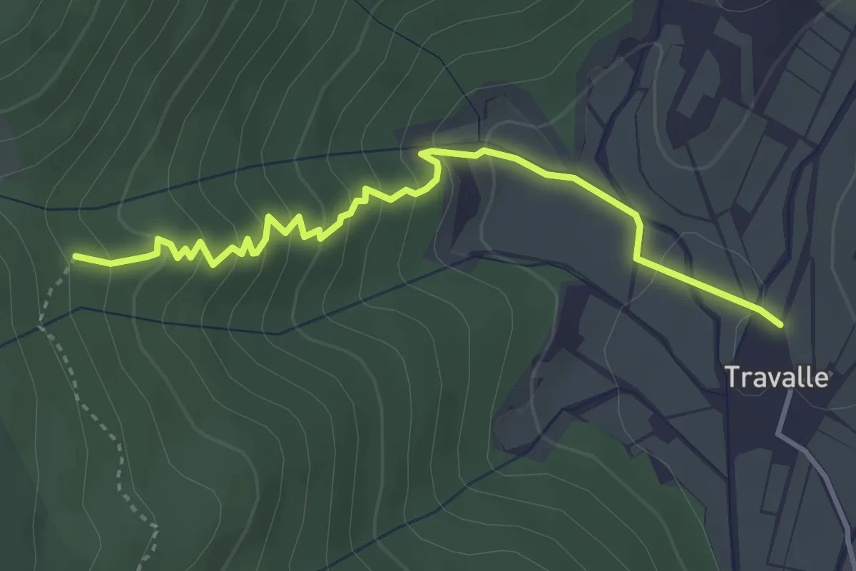
Easy · Trail
Travalle – Casa Villanova
4.0 km · ↑ 261 m · 1 h 30 min · 10 km away
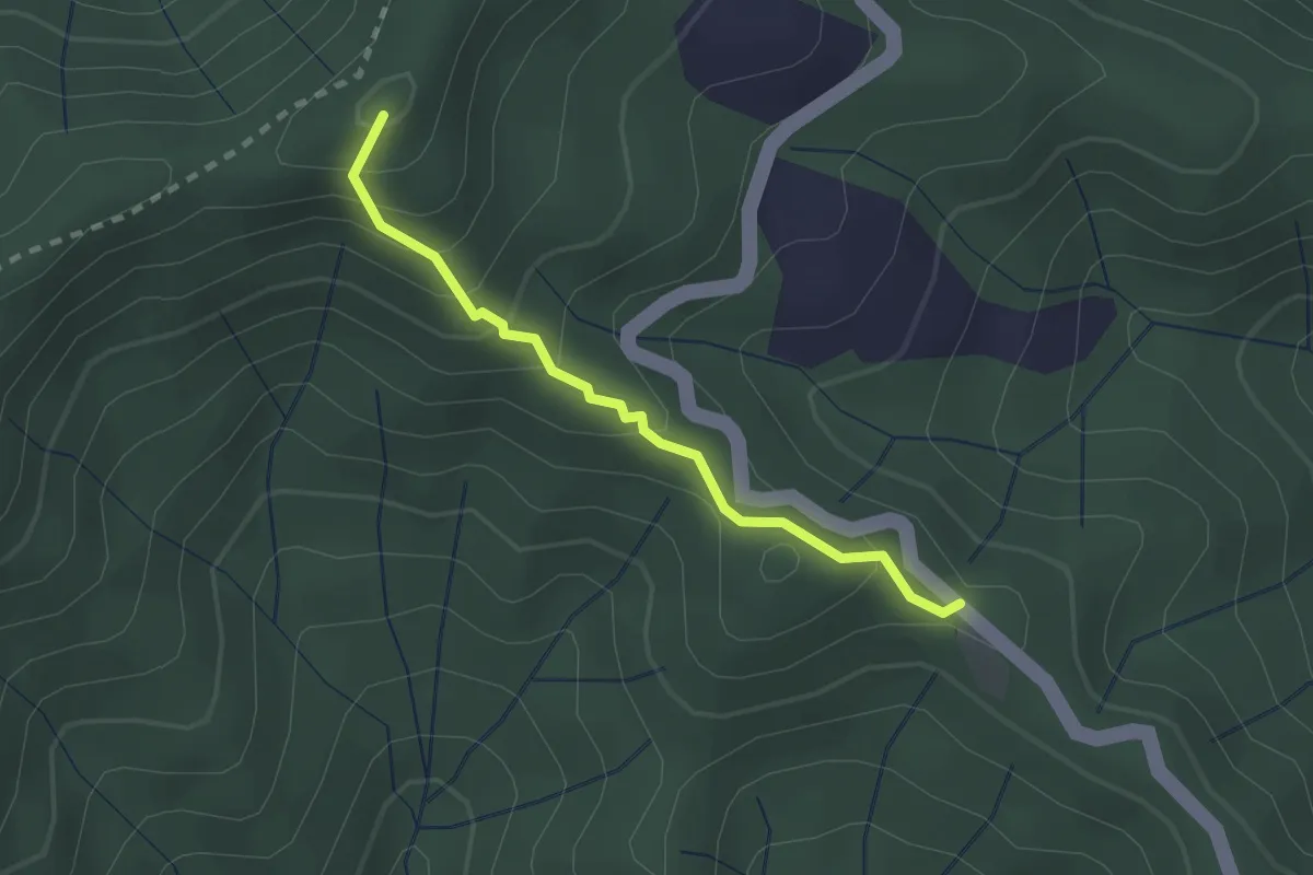
Easy · Summit
Poggio Cattarelle – Rotì
2.1 km · ↑ 178 m · 53 min · 10 km away
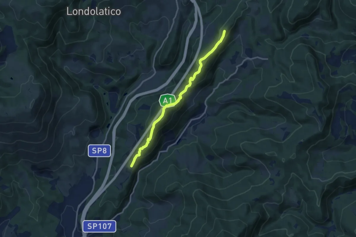
Medium · Summit
Collina – Torricella - Incr. sentiero 600
9.7 km · ↑ 530 m · 3 h 26 min · 10 km away
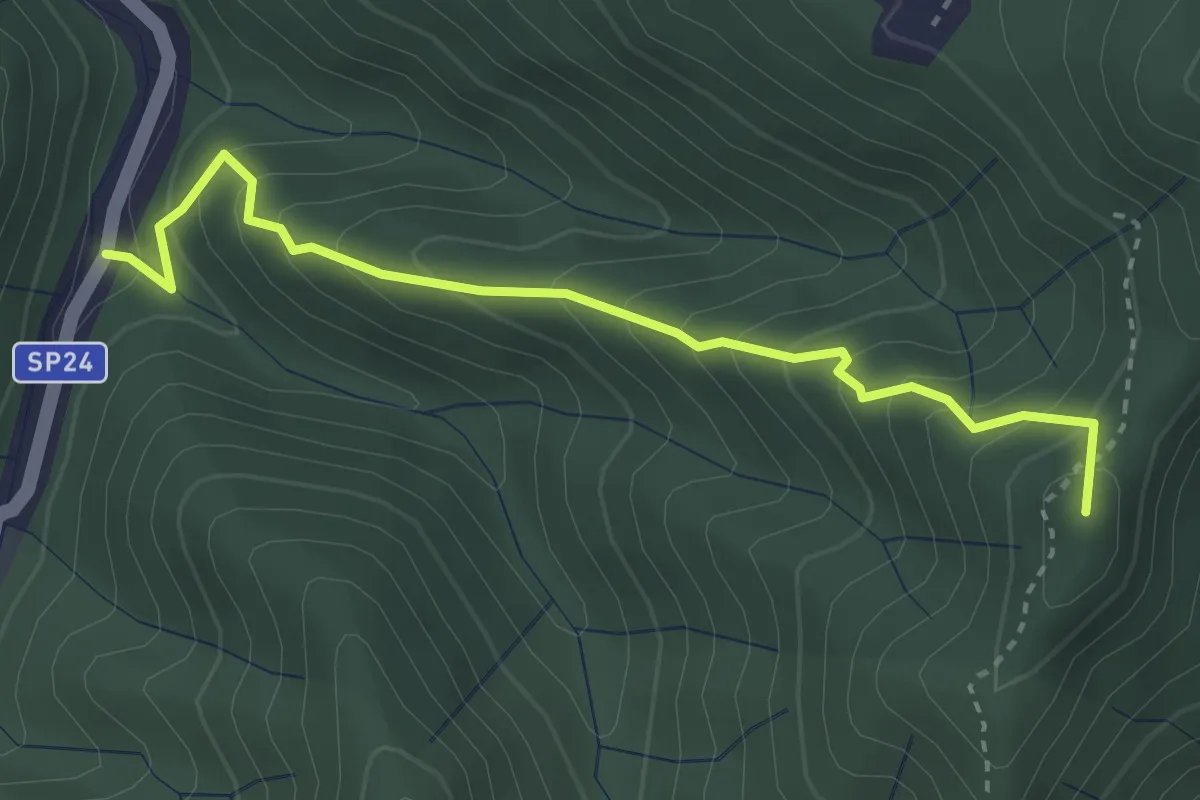
Medium · Summit
Monachino – Passo del Treppio
3.4 km · ↑ 336 m · 1 h 32 min · 10 km away
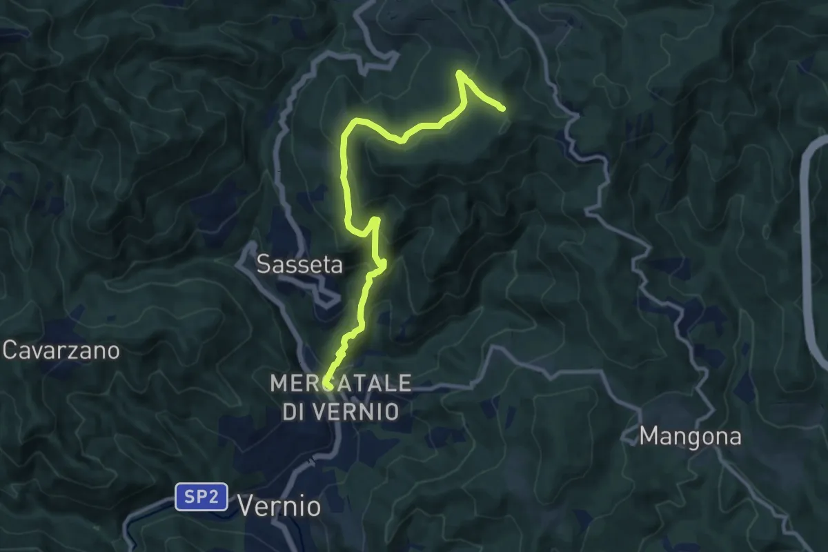
Medium · Trail
San Quirico di Vernio – Poggio di Mezzana
10.4 km · ↑ 654 m · 3 h 52 min · 10 km away
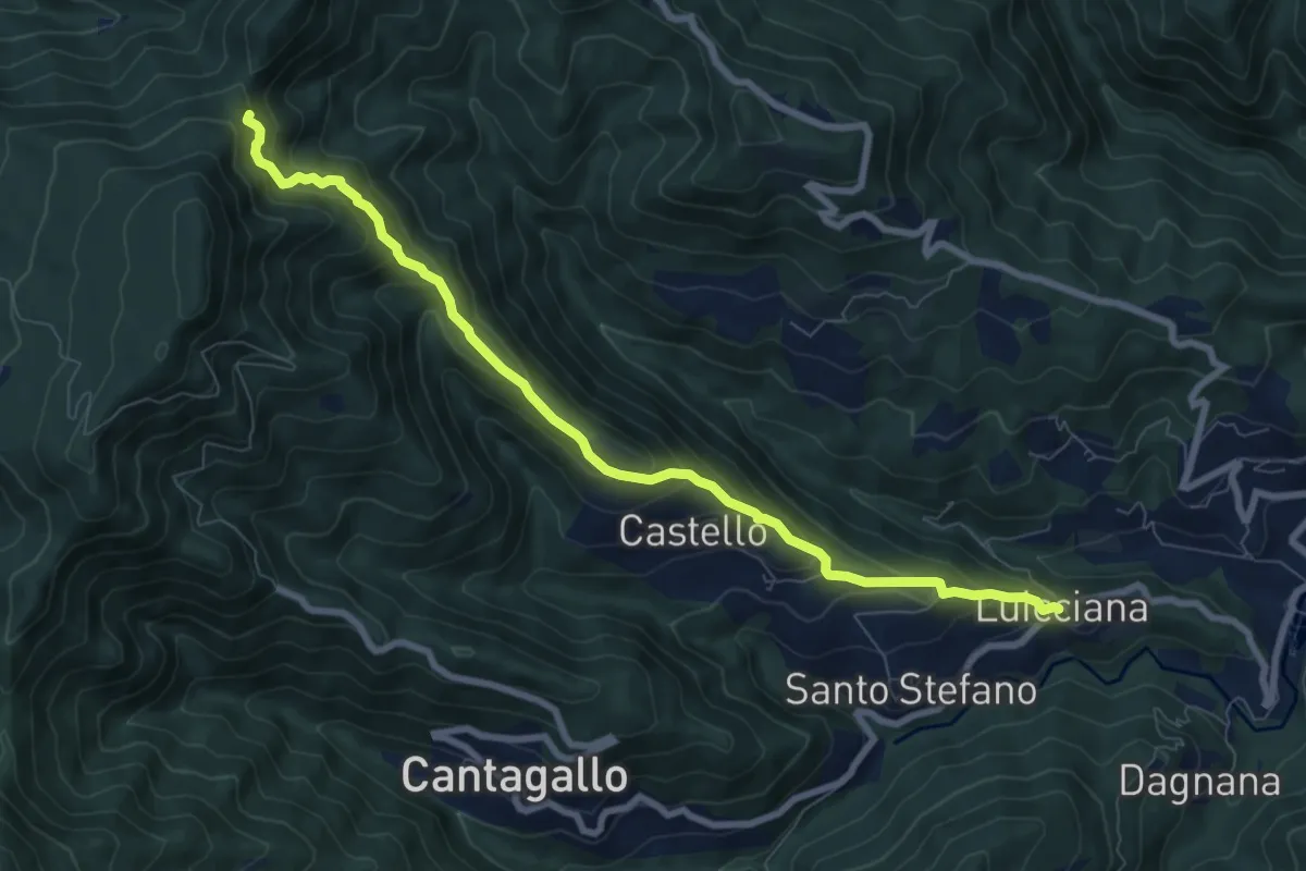
Medium · Trail
Passo delle Pescine – Lucciana
8.7 km · ↑ 605 m · 3 h 22 min · 10 km away
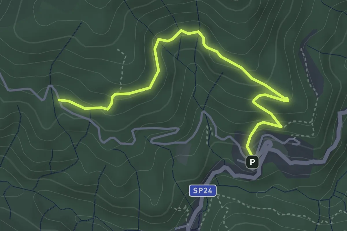
Easy · Cabin
Percorso Acquerino-La Lorenza
4.4 km · ↑ 277 m · 1 h 39 min · 10 km away
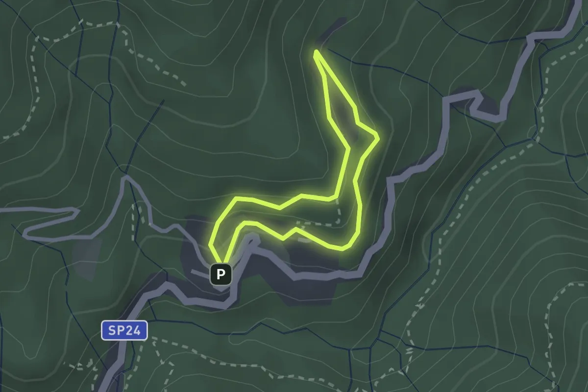
Easy · Trail
Caserma CFS – Prato delle Caselle – Rifugio Acquerino
1.8 km · ↑ 101 m · 41 min · 10 km away
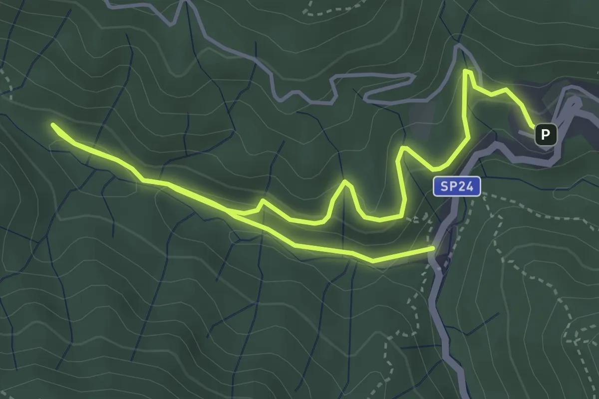
Easy · Trail
Caserma CFS – Glozano – Ponte Rigoli
6.4 km · ↑ 231 m · 2 h · 10 km away
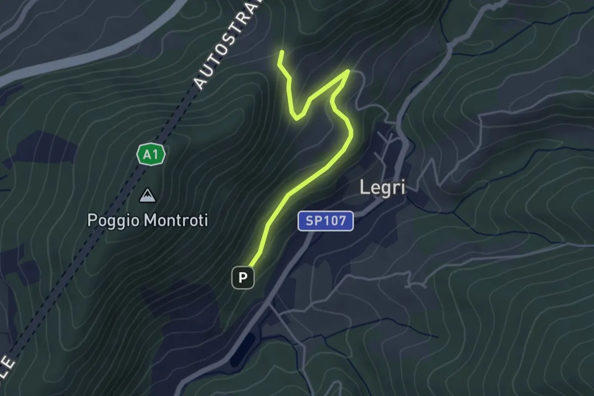
Easy · Trail
Case Cutriolo - Incr. sent. 608A – Collina di Sopra - Incr. sent. 620
3.6 km · ↑ 152 m · 1 h 11 min · 10 km away
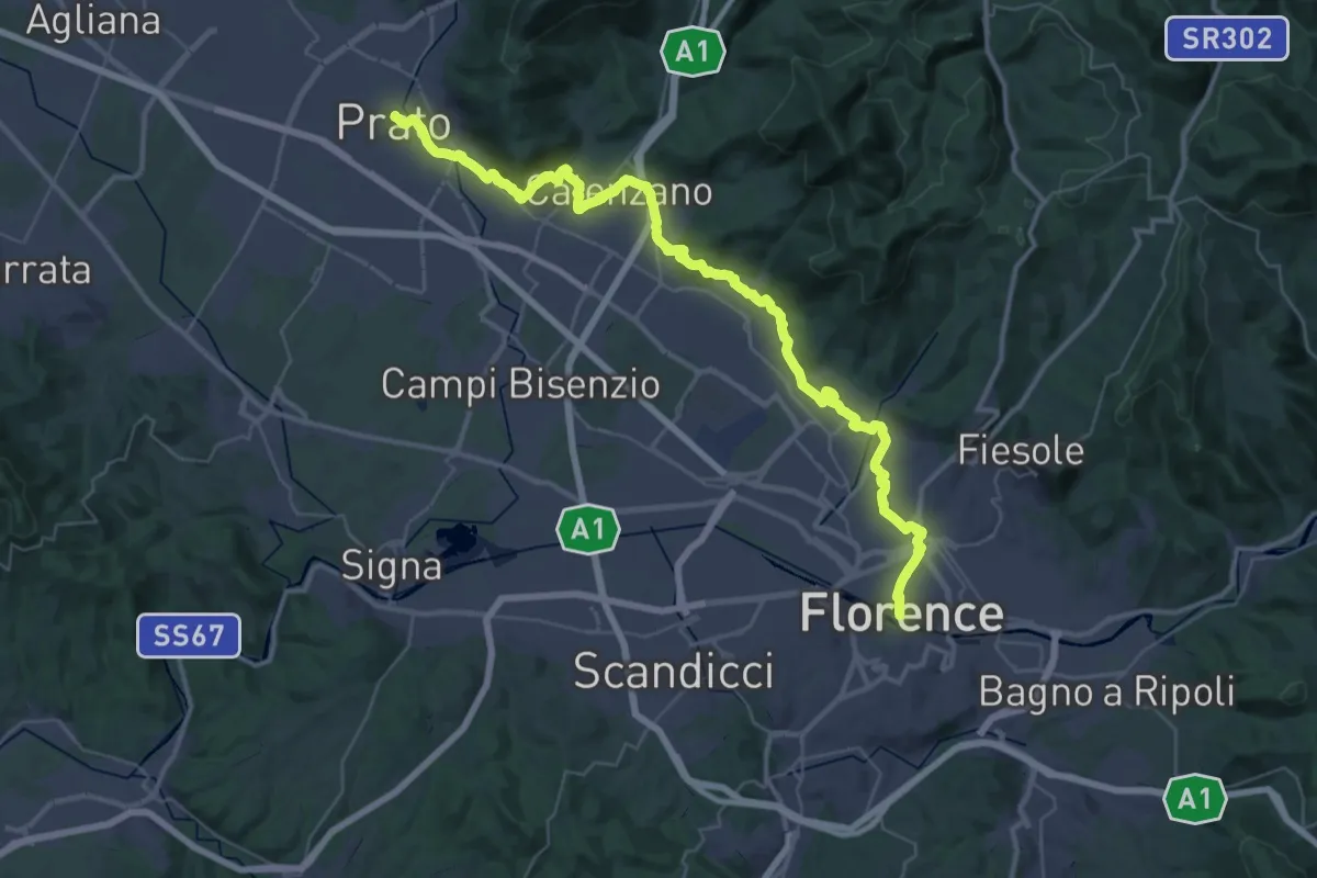
Demanding · Trail
Il Cammino di San Jacopo - Tappa 1
26.9 km · ↑ 437 m · 7 h 40 min · 10 km away
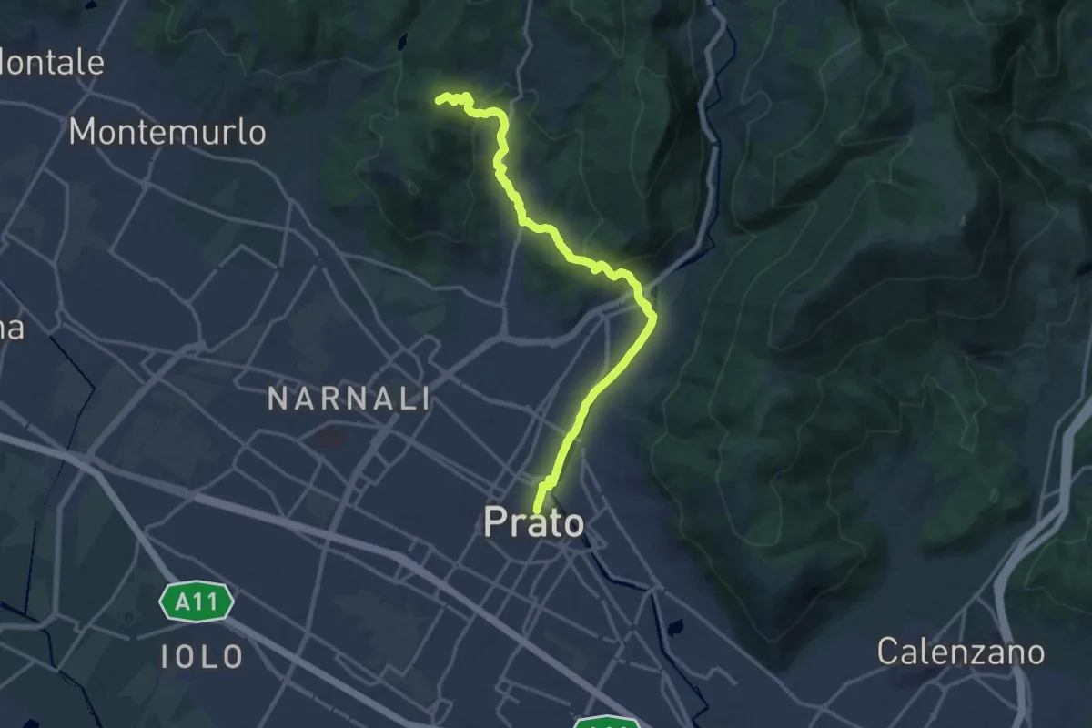
Medium · Summit
Il Cammino di San Jacopo - Tappa 2
17.4 km · ↑ 500 m · 5 h 11 min · 10 km away
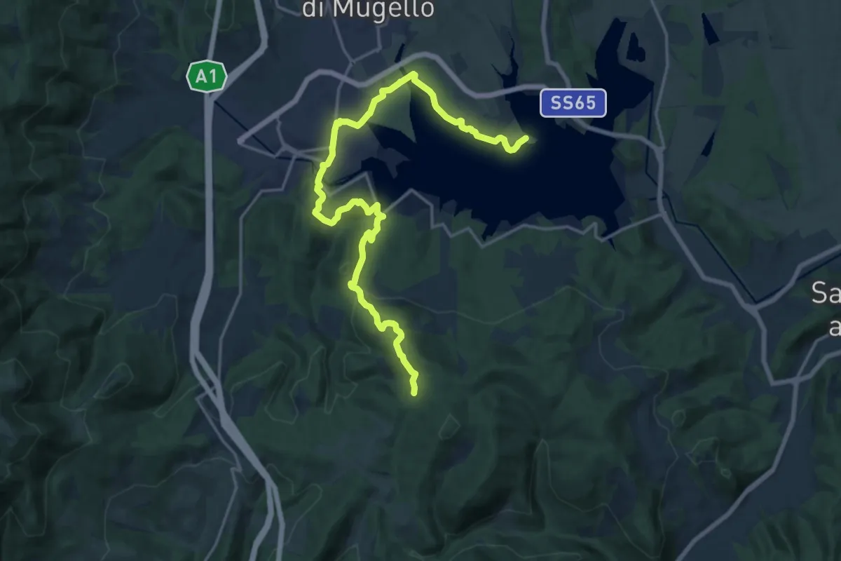
Demanding · Trail
Il Fangaccio – Chiesa di Cupo
19.7 km · ↑ 534 m · 5 h 49 min · 10 km away
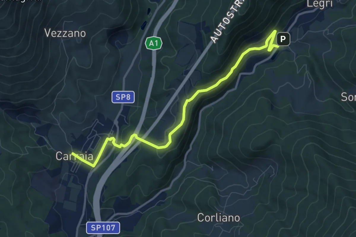
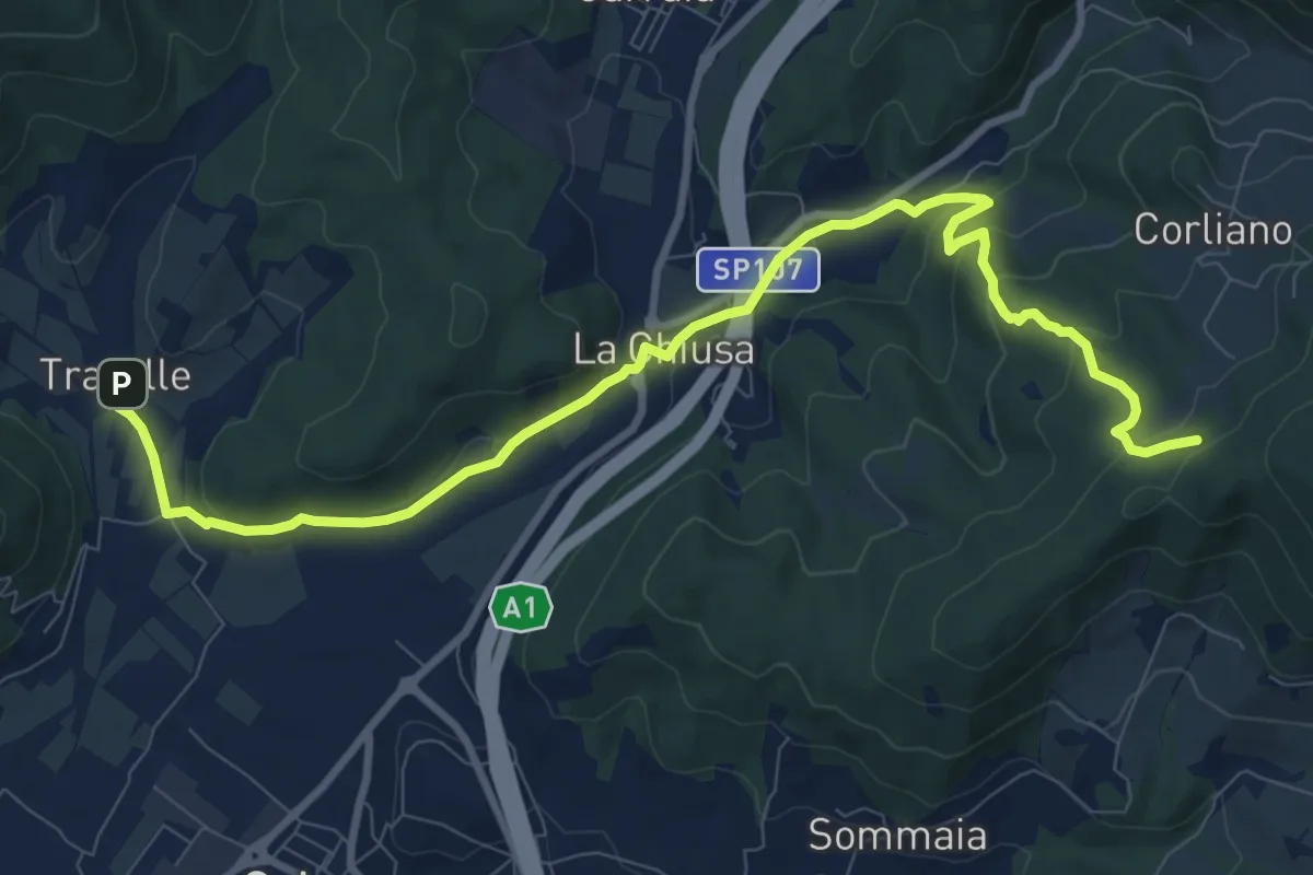
Medium · Trail
Carraia – Lago di Legri - Incrocio sentiero 608
9.8 km · ↑ 331 m · 3 h 2 min · 10 km away
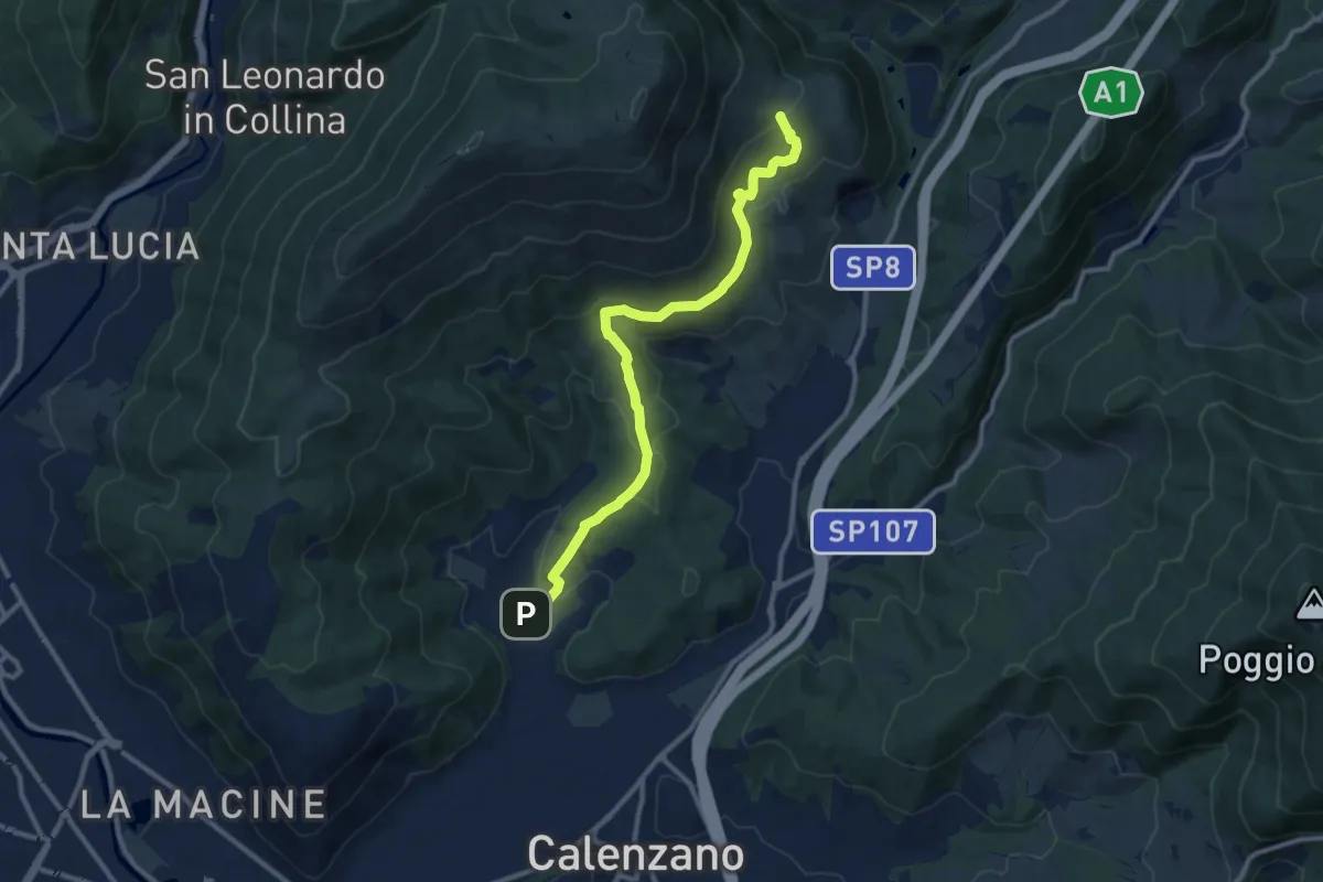
Medium · Trail
La Chiusa – Incrocio sent. 609
11.7 km · ↑ 369 m · 3 h 33 min · 10 km away
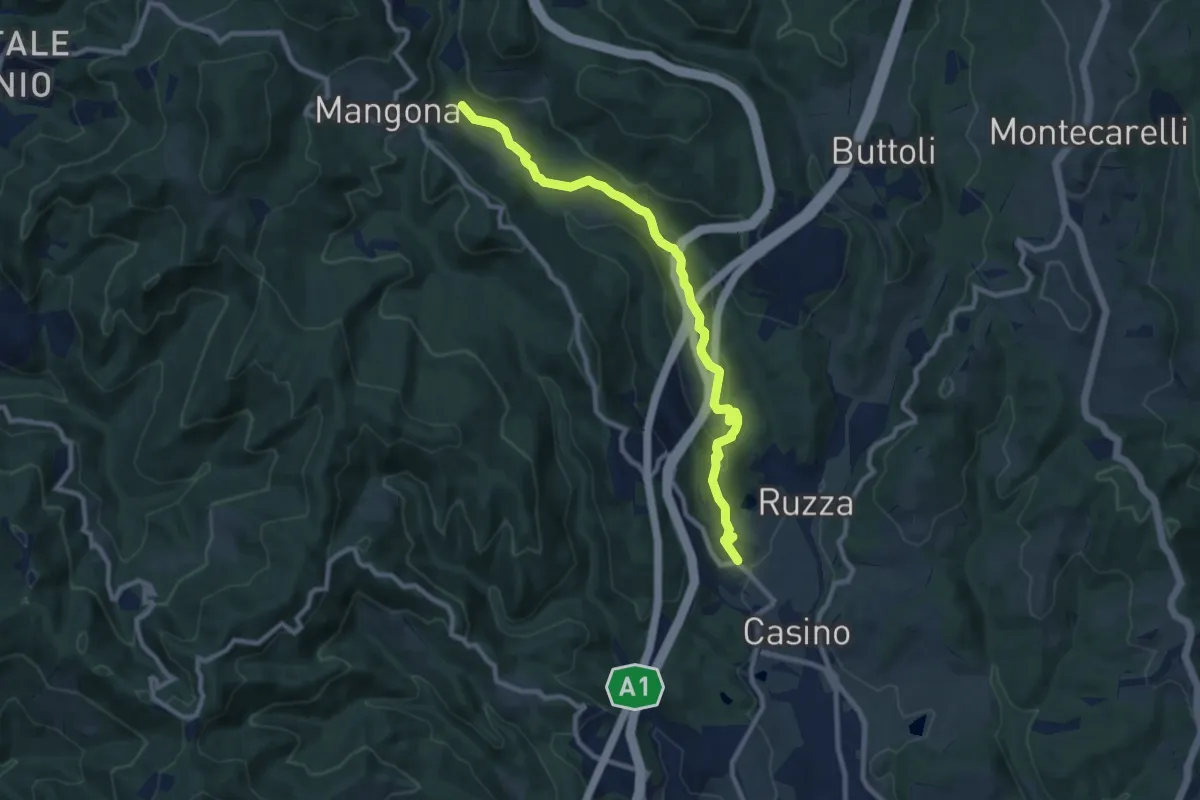
Medium · Summit
Sentiero della Pace
11.4 km · ↑ 392 m · 3 h 32 min · 10 km away
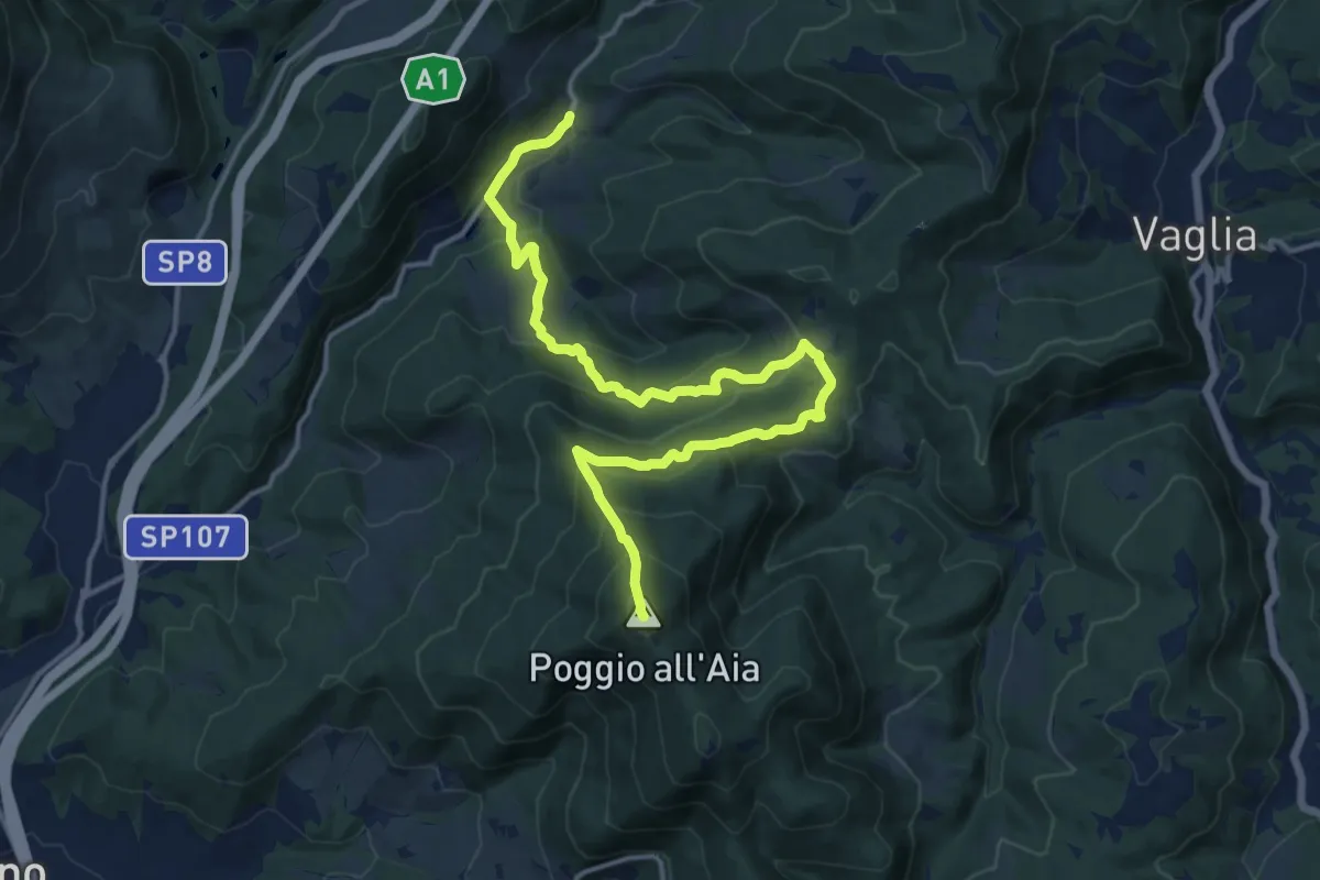
Medium · Trail
Cirignano – Bocca di Rio
10.2 km · ↑ 305 m · 3 h 4 min · 10 km away
Demanding · Summit
Legri – Poggio all'Aia
17.6 km · ↑ 965 m · 6 h 14 min · 10 km away
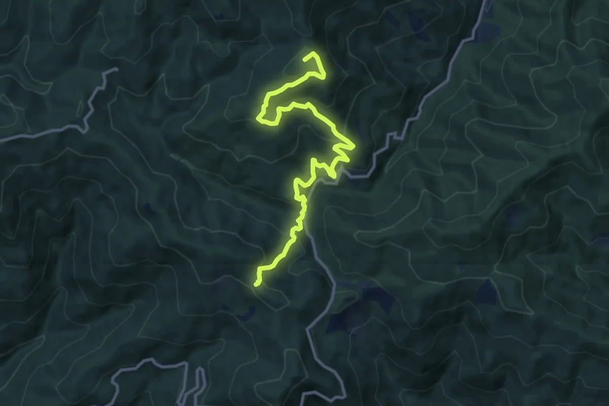
Medium · Summit
Torri di Sambuca – Acquifreddula
11.3 km · ↑ 752 m · 4 h 18 min · 10 km away
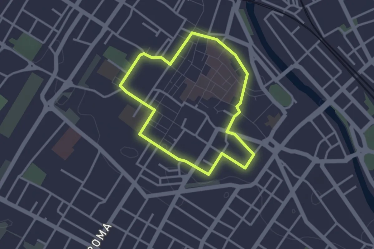
Easy · Trail
Capire la città
2.5 km · ↑ 8 m · 38 min · 10 km away
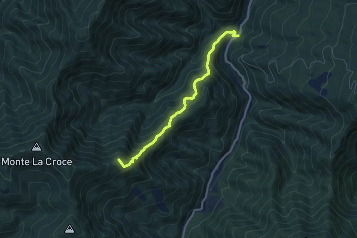
Medium · Summit
Monachino – Lastruccia
5.9 km · ↑ 613 m · 2 h 43 min · 11 km away
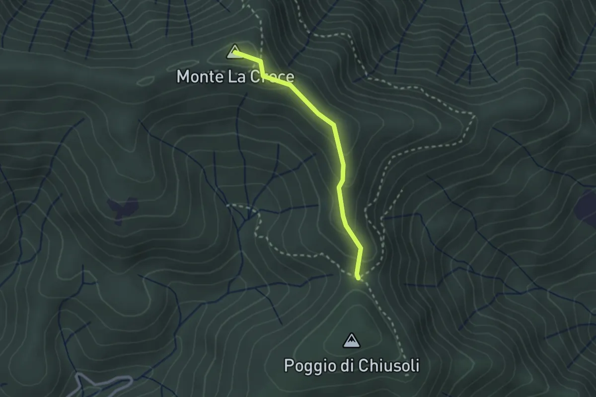
Medium · Summit
Poggio alla Forca – Sasso della Pasqua
2.2 km · ↑ 129 m · 48 min · 11 km away
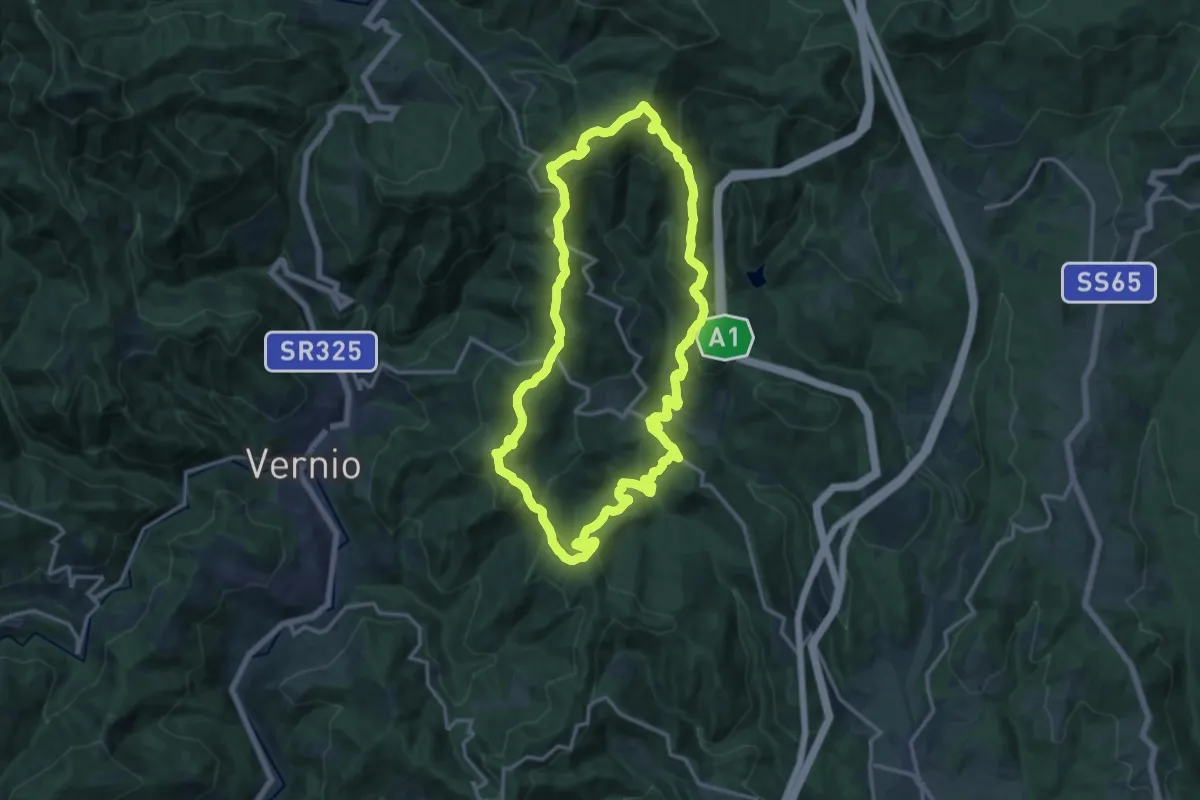
Medium · Summit
Sorgenti di Firenze Trekking - Anello 10: Dalla Calvana all'Appennino
15.3 km · ↑ 782 m · 5 h 31 min · 11 km away
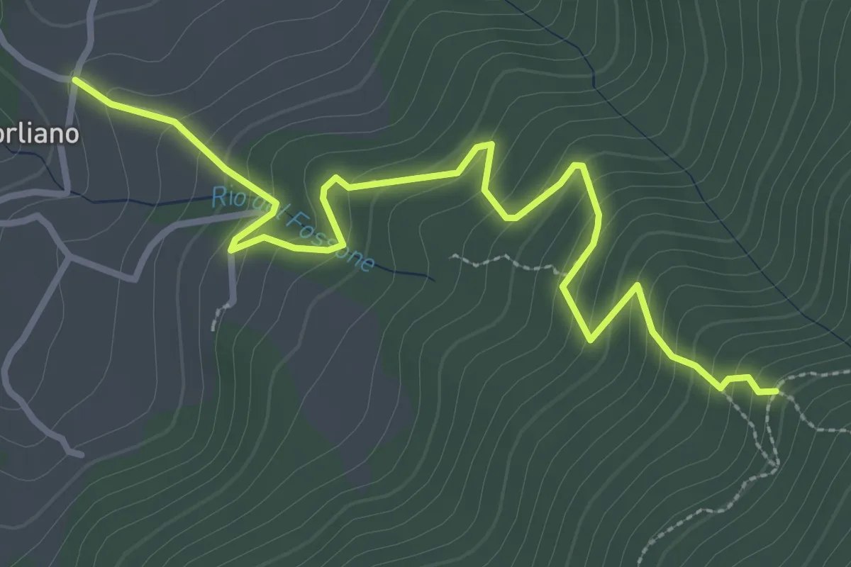
Easy · Trail
Leccio – Quota 590 sentiero 9
3.8 km · ↑ 299 m · 1 h 33 min · 11 km away
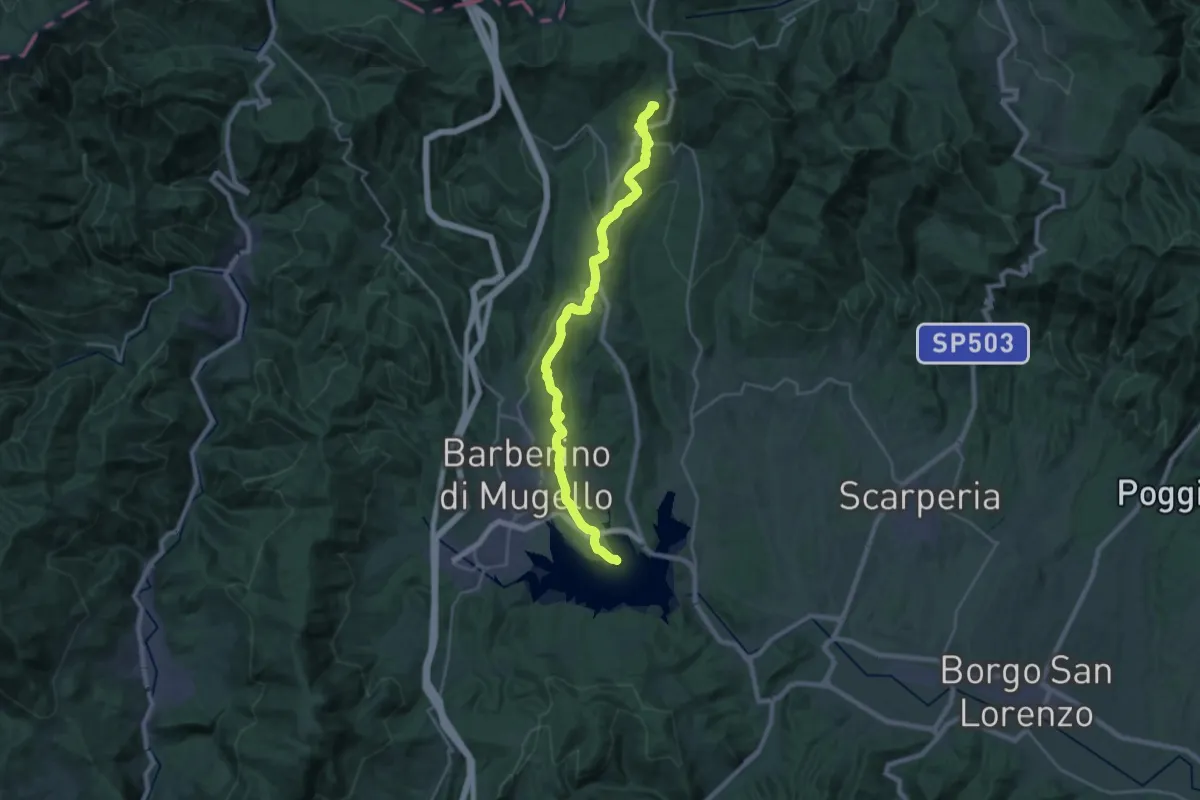
Demanding · Summit
Invaso di Bilancino – Passo della Futa
28.0 km · ↑ 852 m · 8 h 27 min · 11 km away
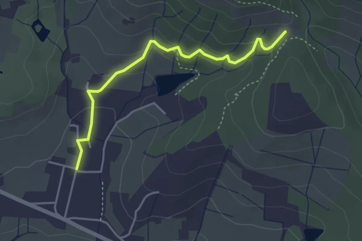
Easy · Trail
Santomato – Innesto sentiero 220
3.6 km · ↑ 139 m · 1 h 9 min · 11 km away
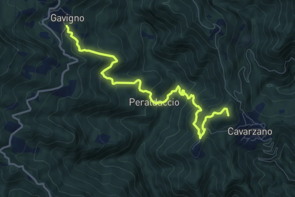
Medium · Summit
Tabernacolo della Tavoletta – Gavigno
9.9 km · ↑ 797 m · 4 h 3 min · 12 km away
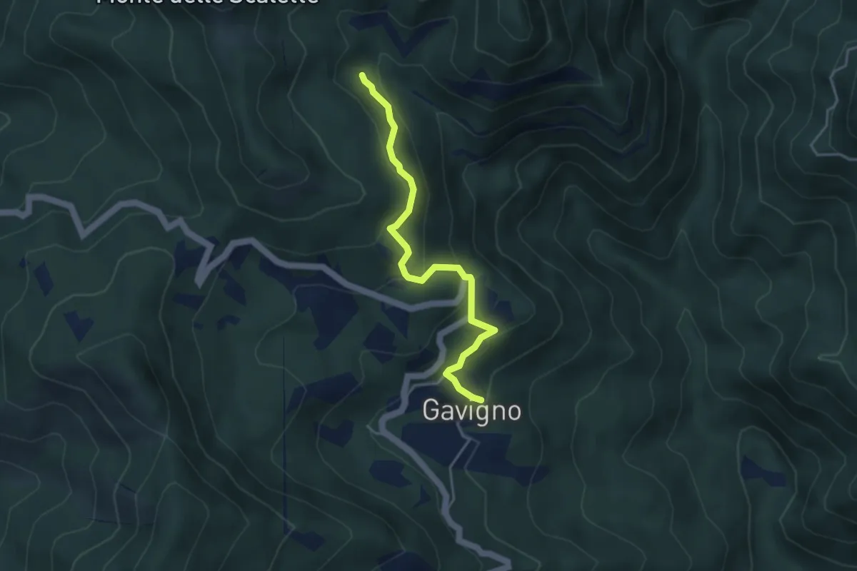
Easy · Trail
Gavigno – Fonte del prete all'Alpe
3.9 km · ↑ 257 m · 1 h 29 min · 12 km away
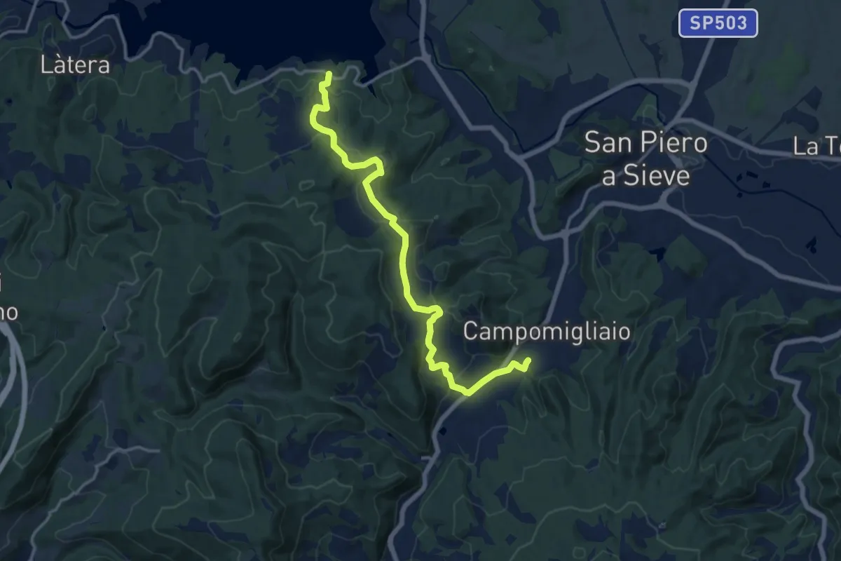
Medium · Trail
Lago di Bilancino – Campomigliaio
14.5 km · ↑ 513 m · 4 h 33 min · 12 km away
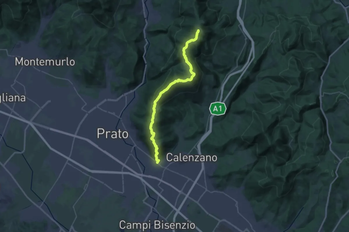
Demanding · Summit
La Querce – Poggio ai Prati (sentiero 00)
26.9 km · ↑ 1335 m · 9 h 15 min · 12 km away