Trails near Valdagno
152 hikes starting within 15 km, nearest first.
Nearest first, page 1 of 4
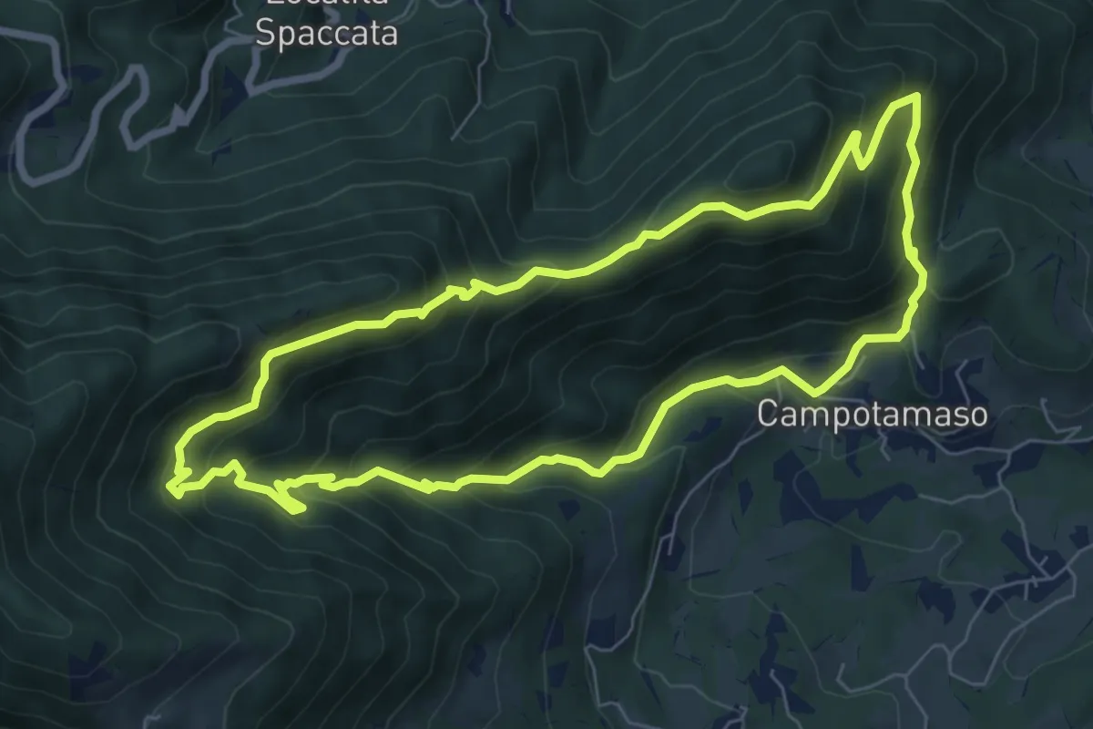
Medium · Summit
Sentiero Gianni Braggion
7.1 km · ↑ 629 m · 3 h 9 min · 5 km away
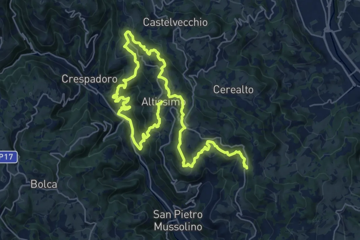
Medium · Summit
Sentiero delle Contrade di Altissimo
15.6 km · ↑ 780 m · 5 h 35 min · 5 km away
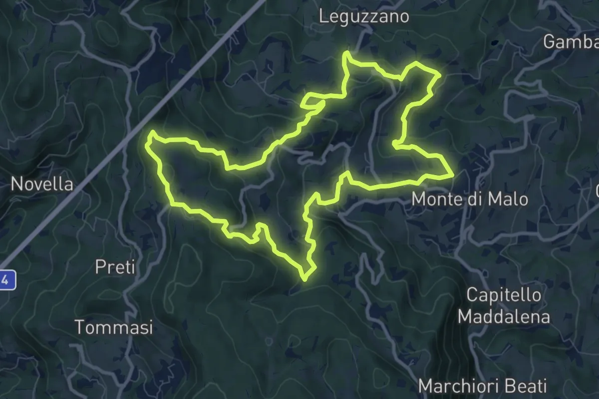
Medium · Trail
Maronari Lungo
10.2 km · ↑ 433 m · 3 h 29 min · 5 km away
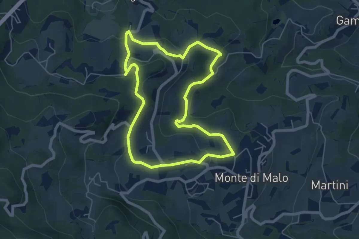
Easy · Trail
Maronari Corto
4.7 km · ↑ 163 m · 1 h 32 min · 5 km away
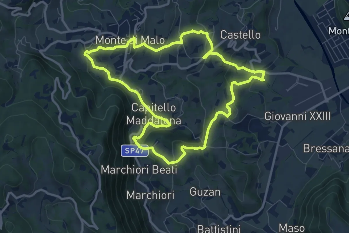
Medium · Trail
Anello del Buso della Rana (variante lunga)
8.0 km · ↑ 317 m · 2 h 42 min · 5 km away
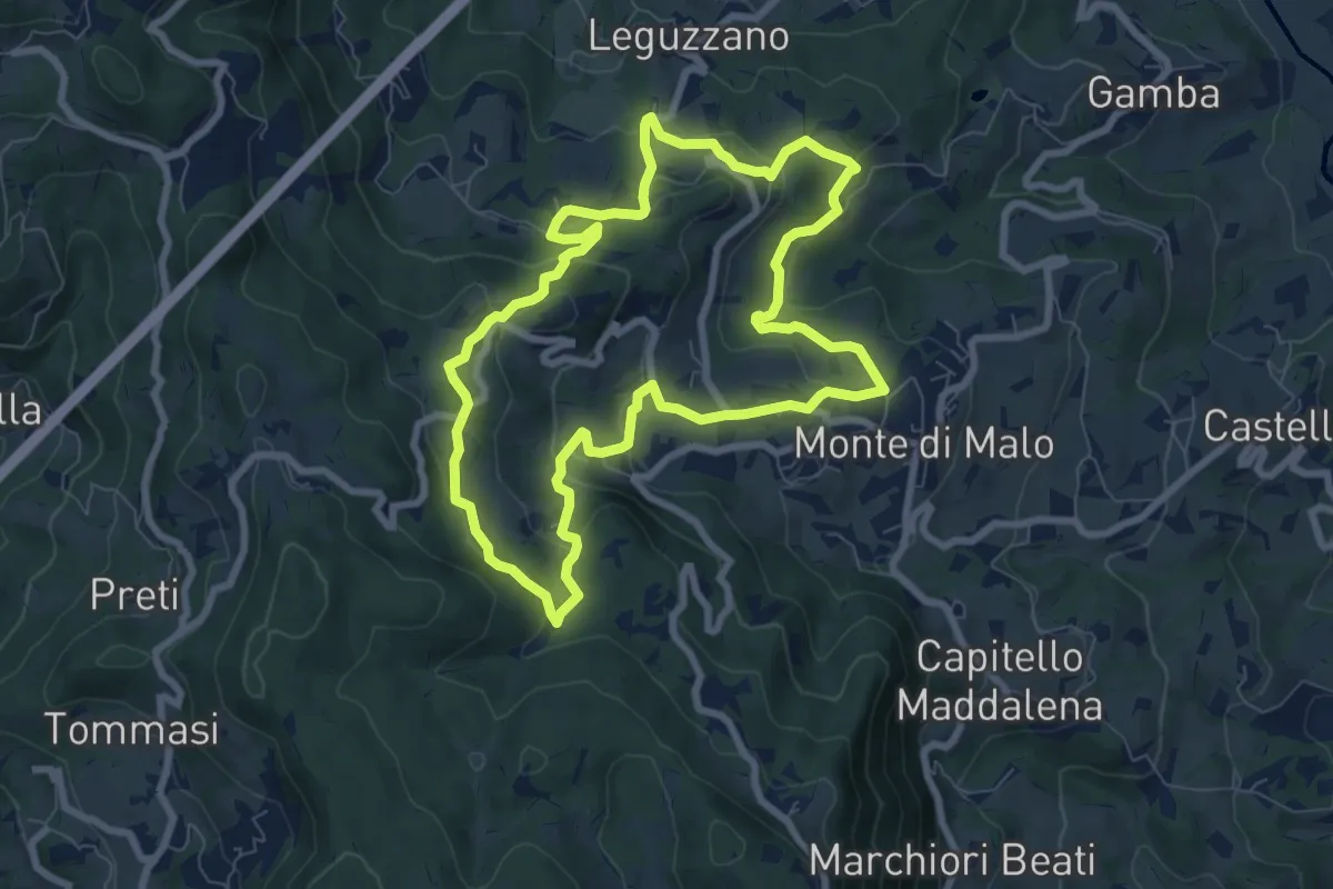
Easy · Trail
Maronari Medio
7.9 km · ↑ 318 m · 2 h 39 min · 5 km away
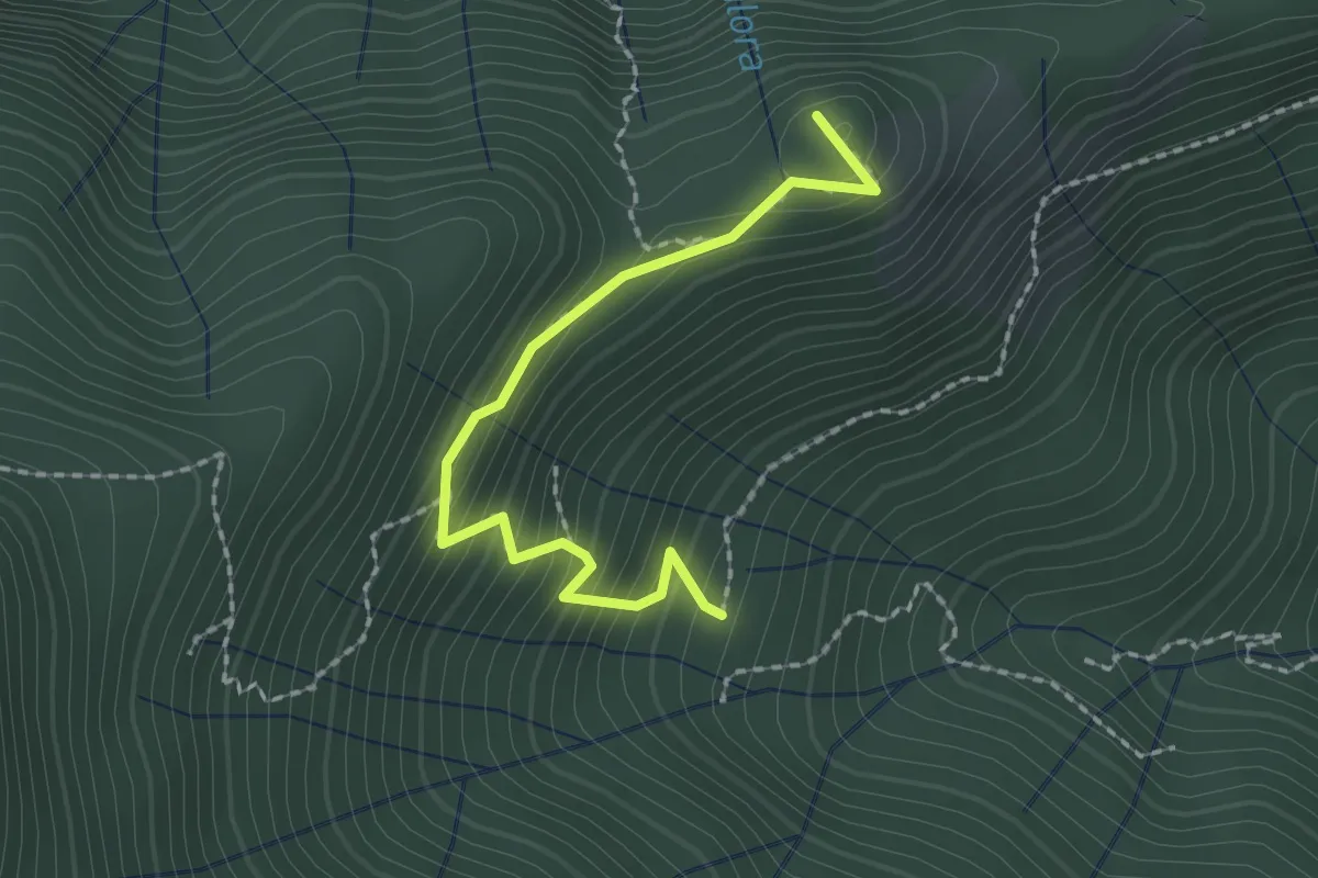
Easy · Trail
Croce dei Castiglieri
2.0 km · ↑ 209 m · 56 min · 5 km away
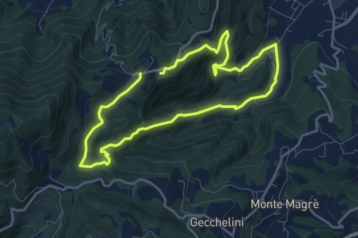
Medium · Trail
Sentiero dell'Alpino
6.6 km · ↑ 380 m · 2 h 29 min · 6 km away
Medium · Trail
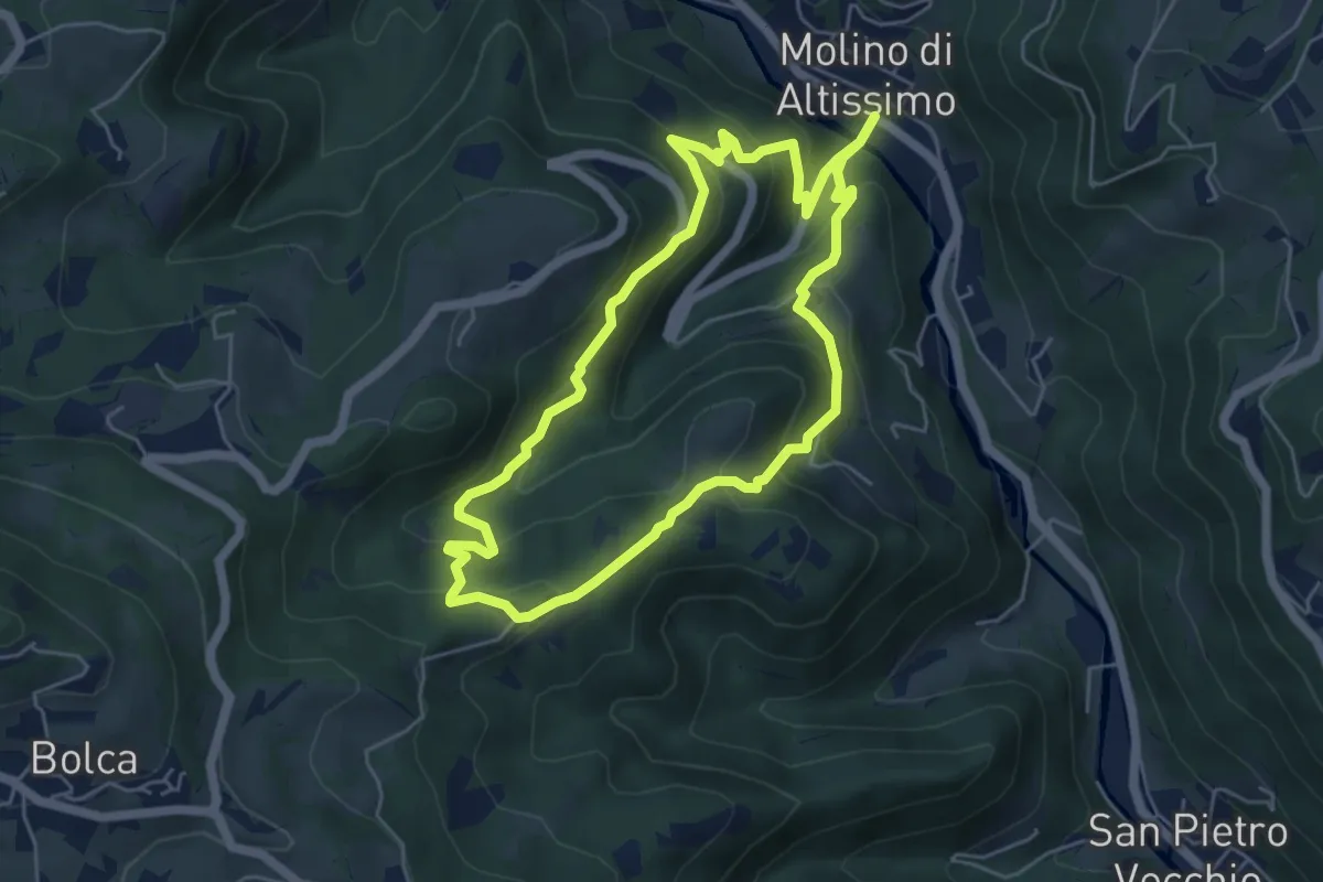
Sentiero Pesciaia
5.3 km · ↑ 362 m · 2 h 6 min · 6 km away
Medium · Trail
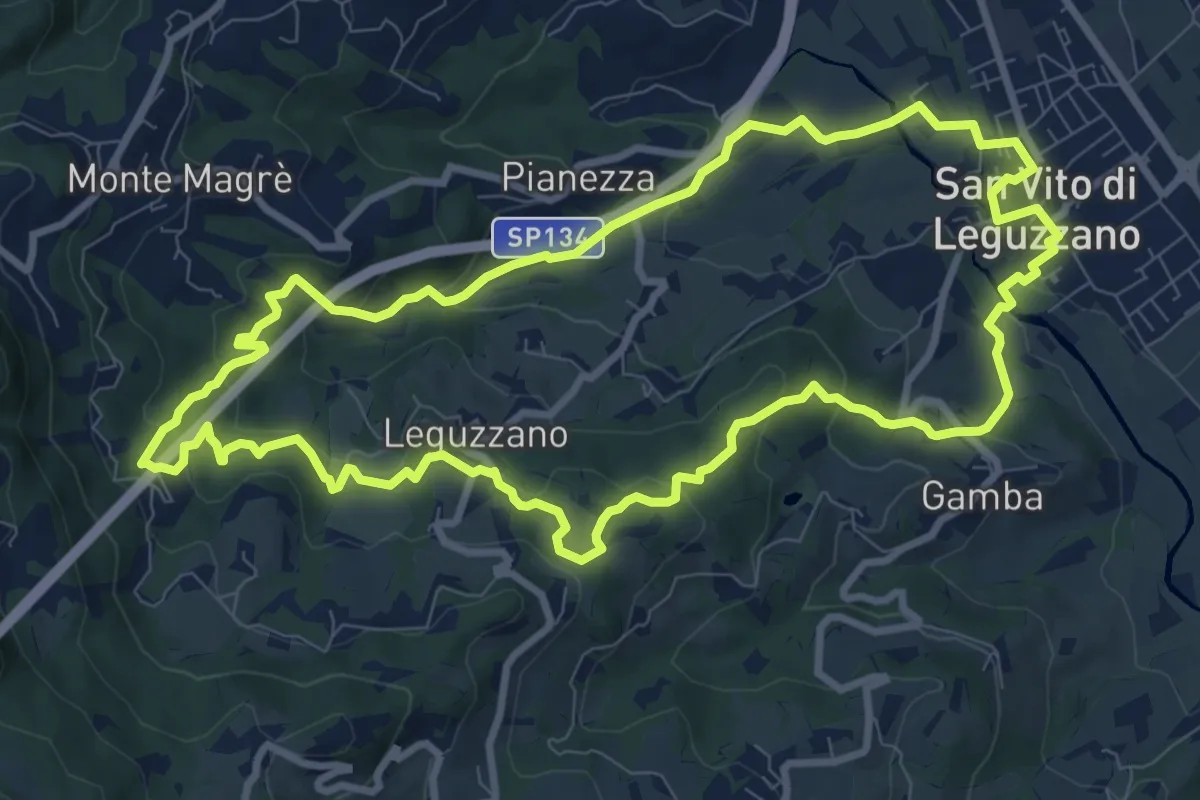
Sentiero natura percorso 1 (rosso)
9.9 km · ↑ 375 m · 3 h 17 min · 7 km away
Easy · Trail
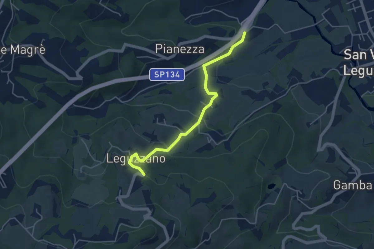
Sentiero Natura - Variante Percorso 1
3.9 km · ↑ 169 m · 1 h 18 min · 7 km away
Demanding · Summit
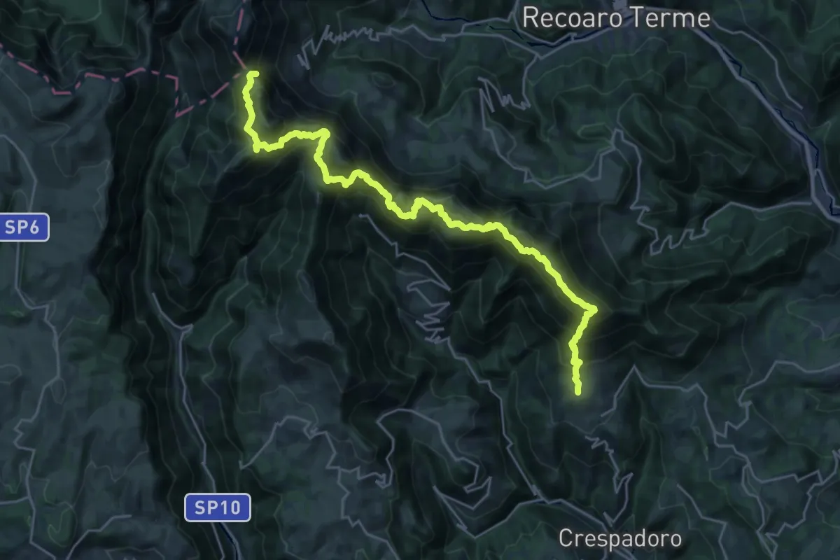
Sentiero Francesco Milani
26.9 km · ↑ 2051 m · 10 h 48 min · 7 km away
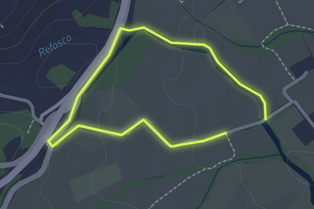
Easy · Trail
Sentiero dell'acqua - Lungo il Refosco
1.4 km · ↑ 22 m · 25 min · 7 km away
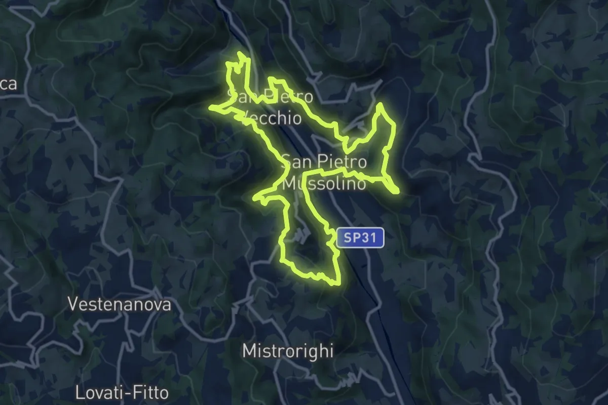
Medium · Trail
Sentiero delle Api
12.1 km · ↑ 757 m · 4 h 40 min · 7 km away
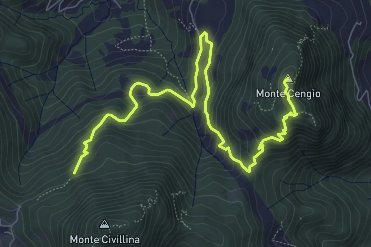
Medium · Summit
Sentiero del Singio
8.2 km · ↑ 569 m · 3 h 11 min · 7 km away
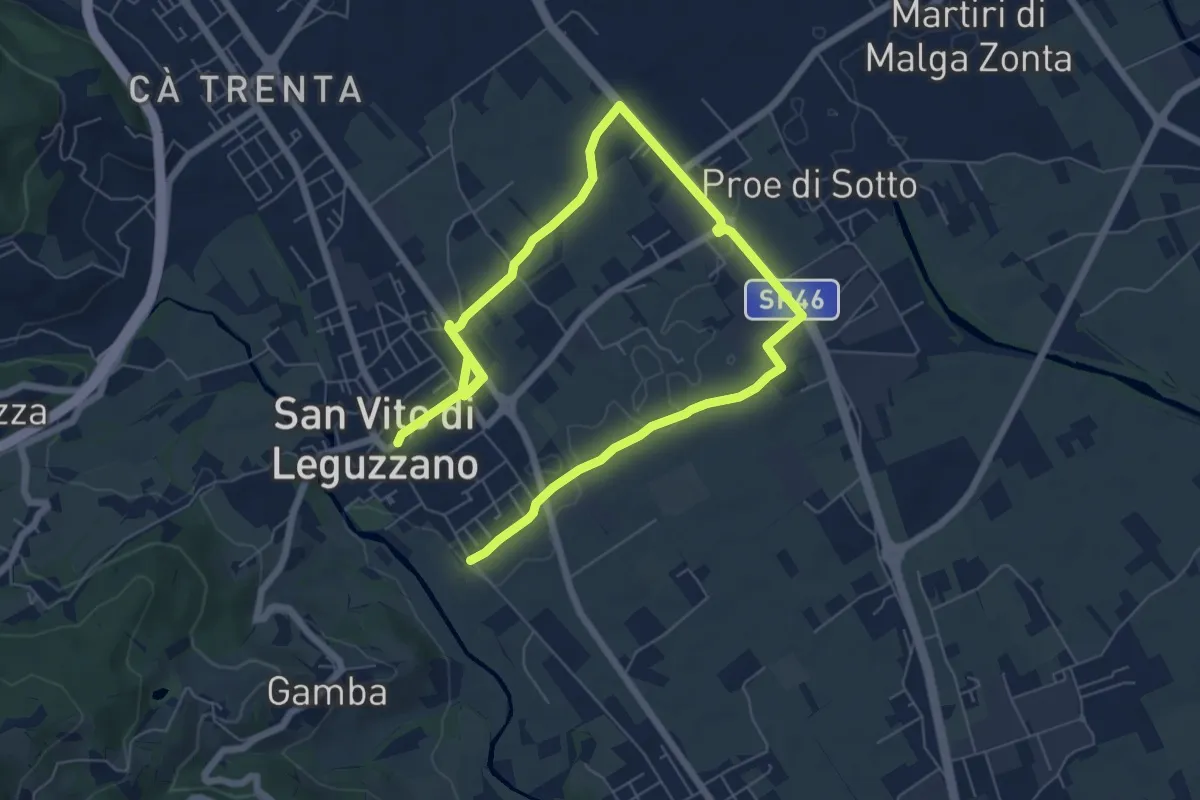
Medium · Trail
Sentiero dei campi
10.4 km · ↑ 17 m · 2 h 29 min · 7 km away
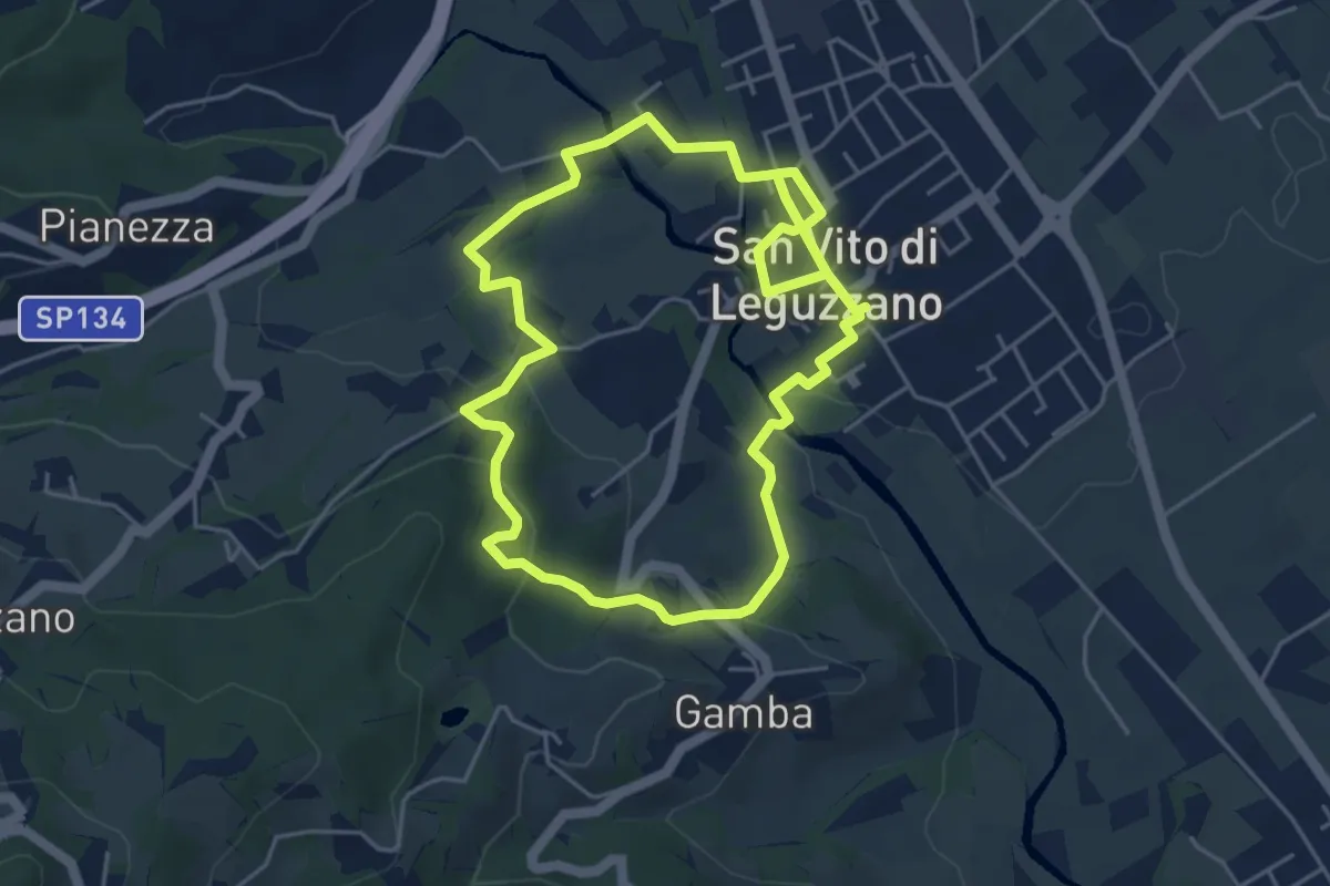
Easy · Trail
Sentiero Natura - Percorso 2 (verde)
4.7 km · ↑ 122 m · 1 h 27 min · 7 km away
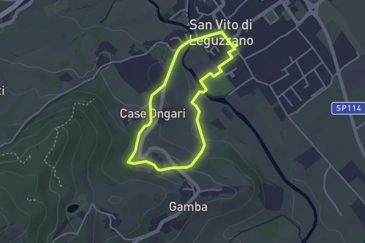
Easy · Trail
Sentiero Natura - Percorso 3 (giallo)
2.6 km · ↑ 70 m · 48 min · 7 km away
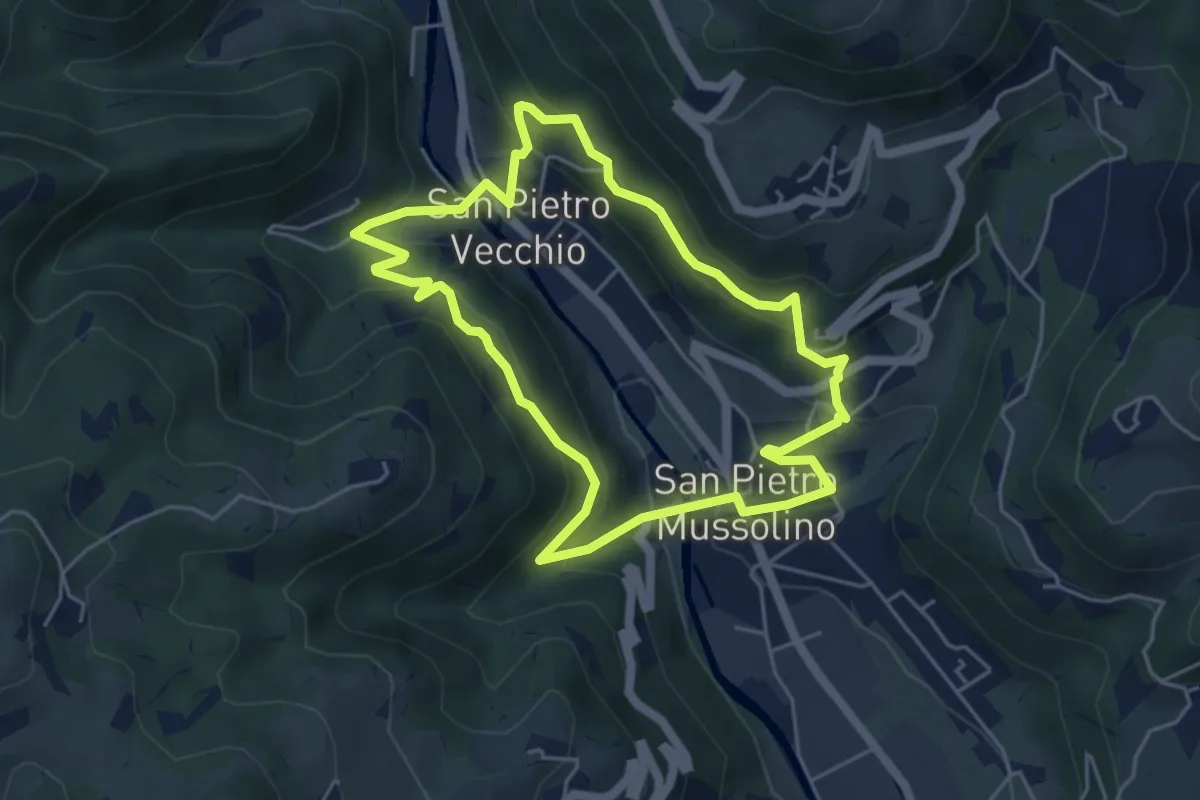
Medium · Trail
Sentiero Amico
4.8 km · ↑ 323 m · 1 h 54 min · 7 km away
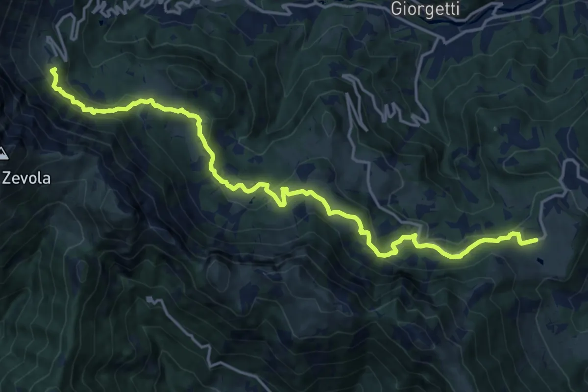
Demanding · Summit
Recoaro Mille - Pizzegoro – Rifugio Battisti alla Gazza
15.8 km · ↑ 726 m · 5 h 18 min · 8 km away
Demanding · Trail
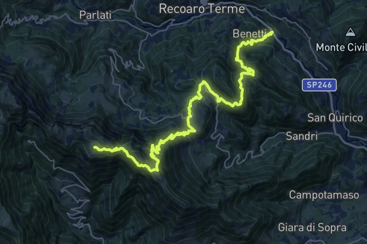
Sentiero del partigiano e della resistenza
13.5 km · ↑ 1513 m · 6 h 4 min · 8 km away
Medium · Summit
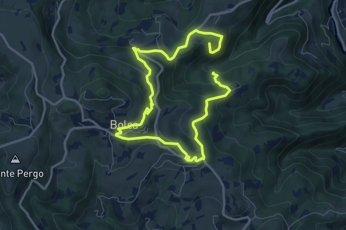
I Sentieri di Bolca
11.5 km · ↑ 583 m · 3 h 58 min · 8 km away
Medium · Summit
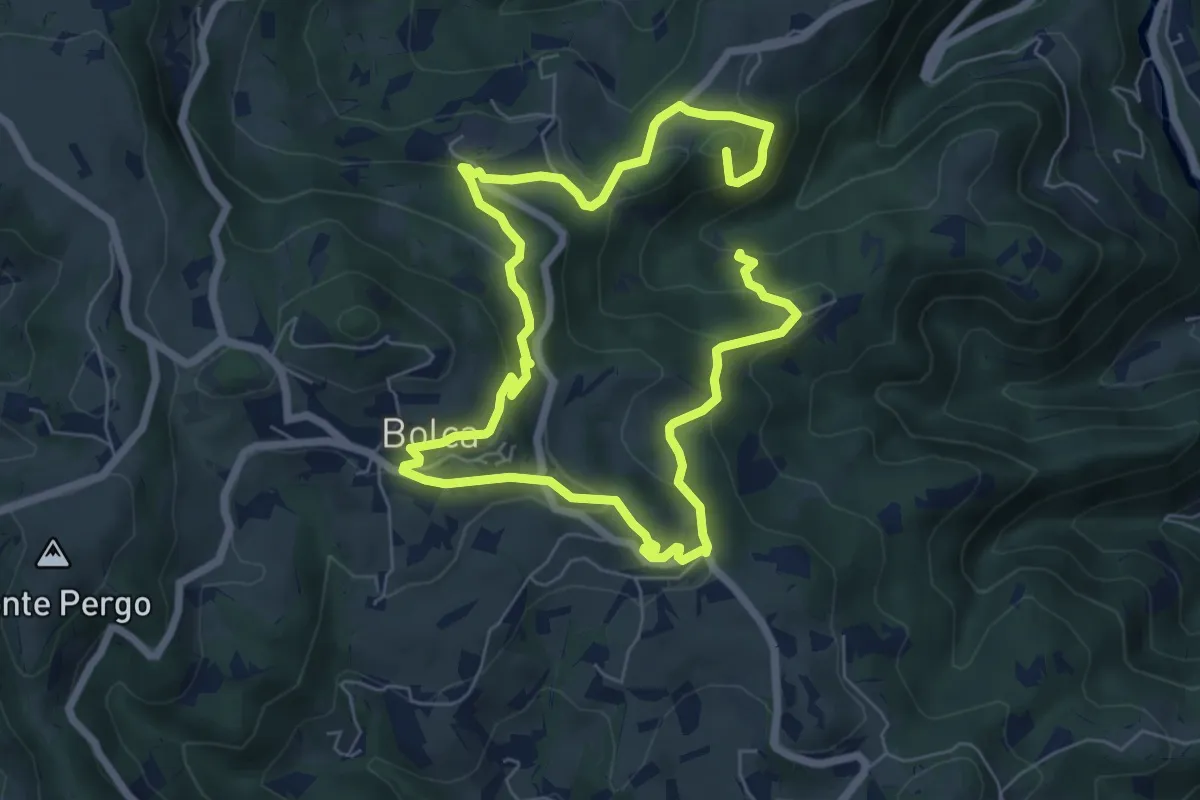
Sentiero Viola alla Pessàra
11.5 km · ↑ 583 m · 3 h 58 min · 8 km away
Medium · Trail
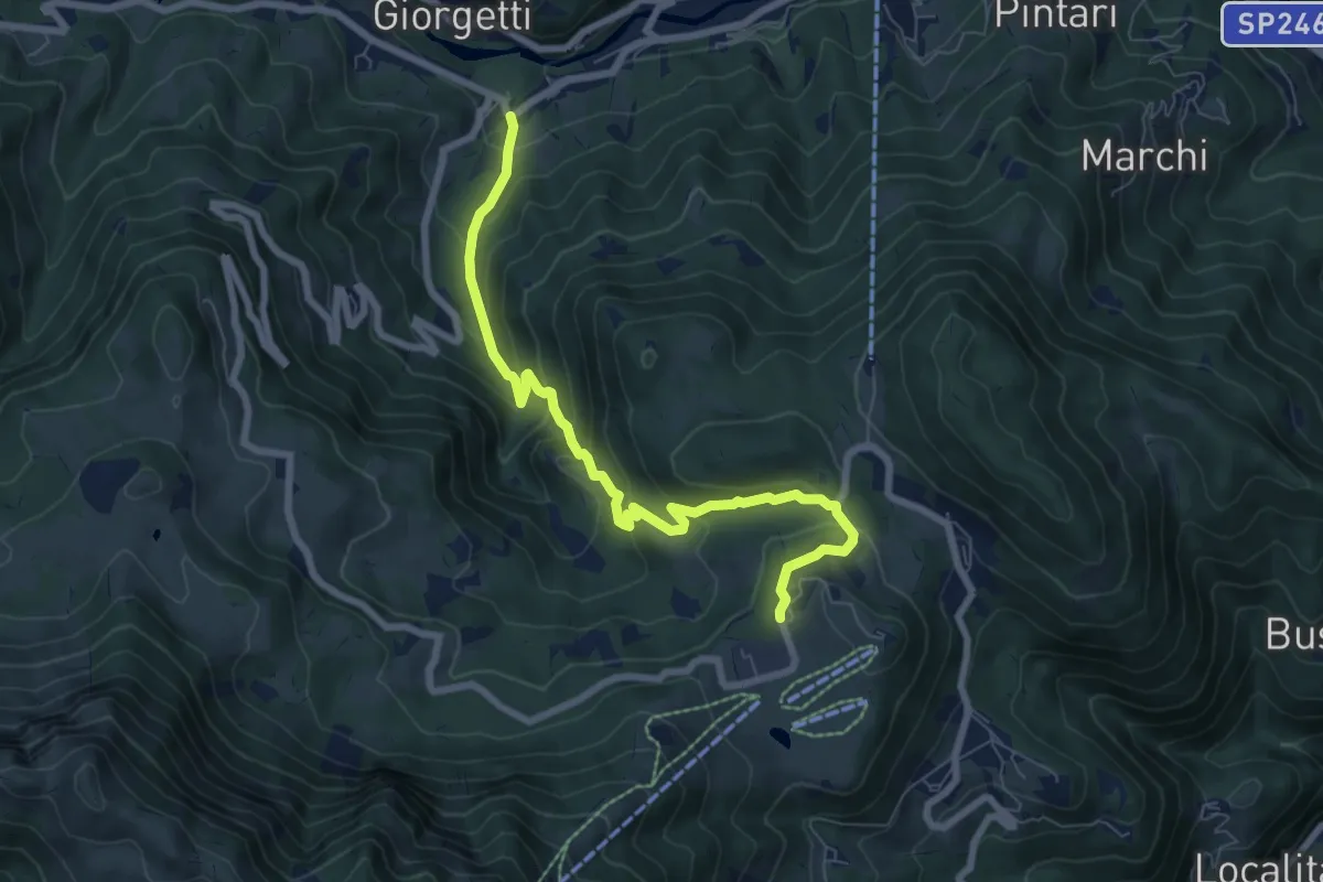
Contrada Asnicar (Recoaro Terme) – Casare Busacco (Recoaro Mille)
7.8 km · ↑ 491 m · 2 h 55 min · 8 km away
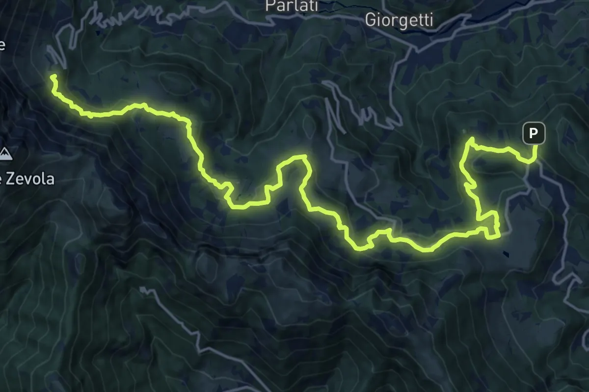
Demanding · Summit
Sentiero dei Grandi Alberi
23.5 km · ↑ 985 m · 7 h 41 min · 8 km away
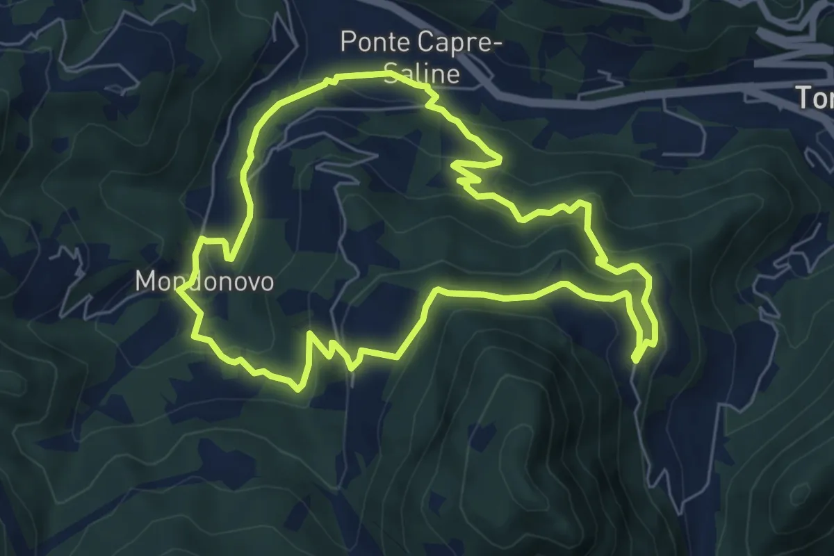
Medium · Trail
Sentiero di Mondonovo
6.1 km · ↑ 335 m · 2 h 15 min · 8 km away
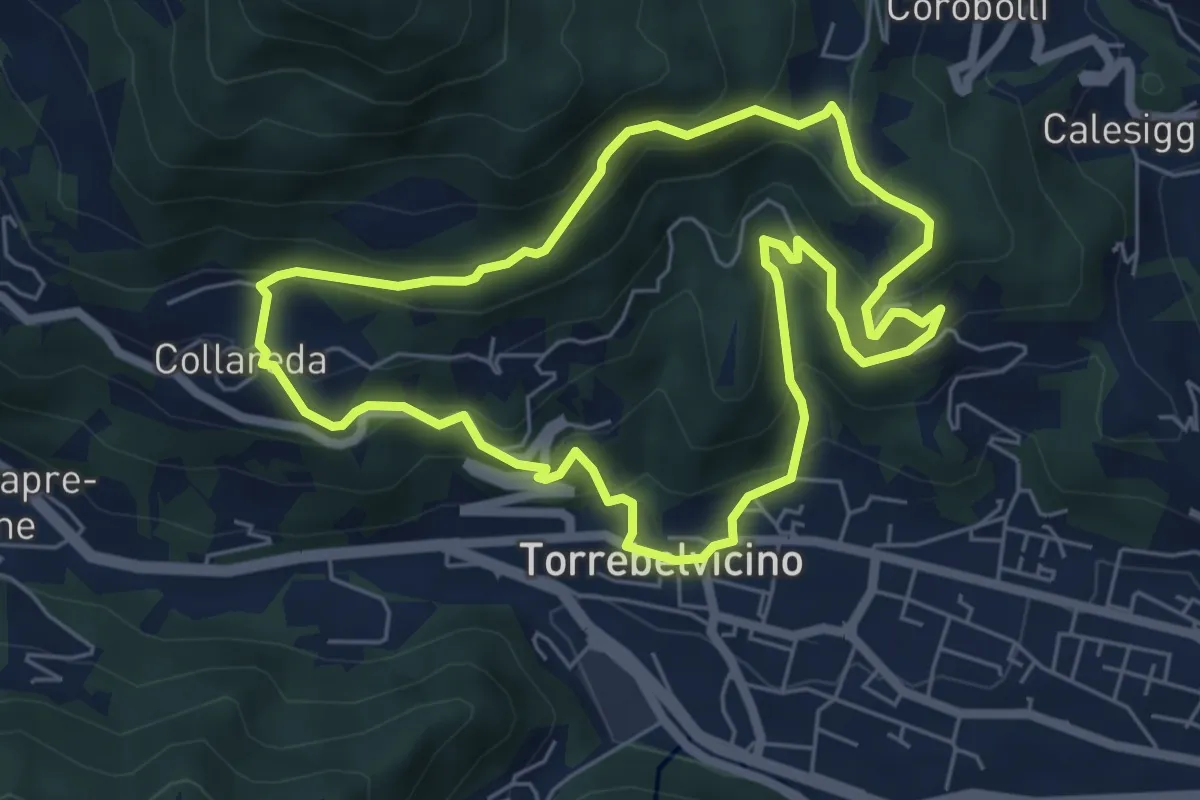
Medium · Trail
Sentiero delle cinque colombe
5.9 km · ↑ 411 m · 2 h 22 min · 9 km away
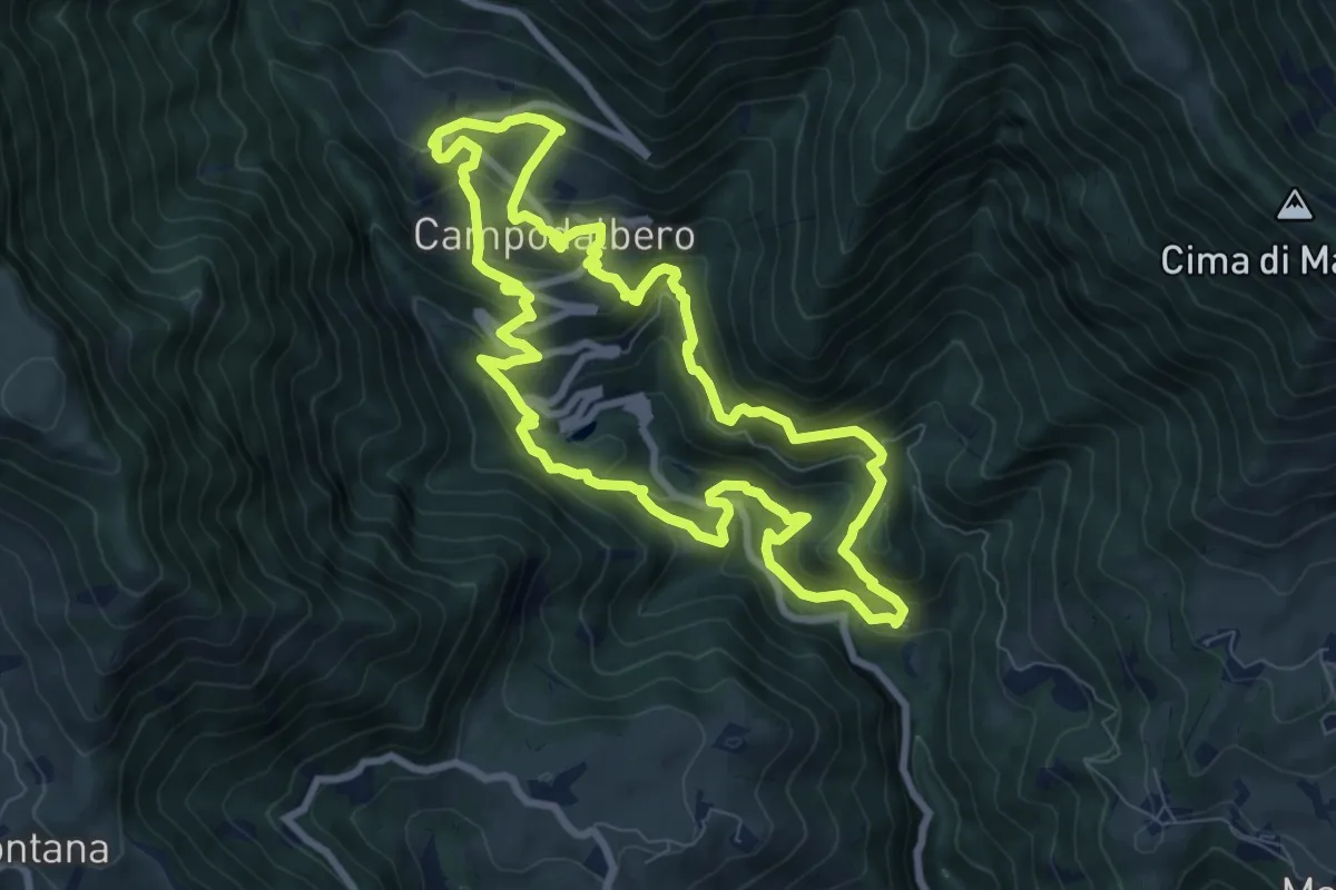
Medium · Trail
Campodalbero e le sue Contra
8.6 km · ↑ 602 m · 3 h 27 min · 9 km away
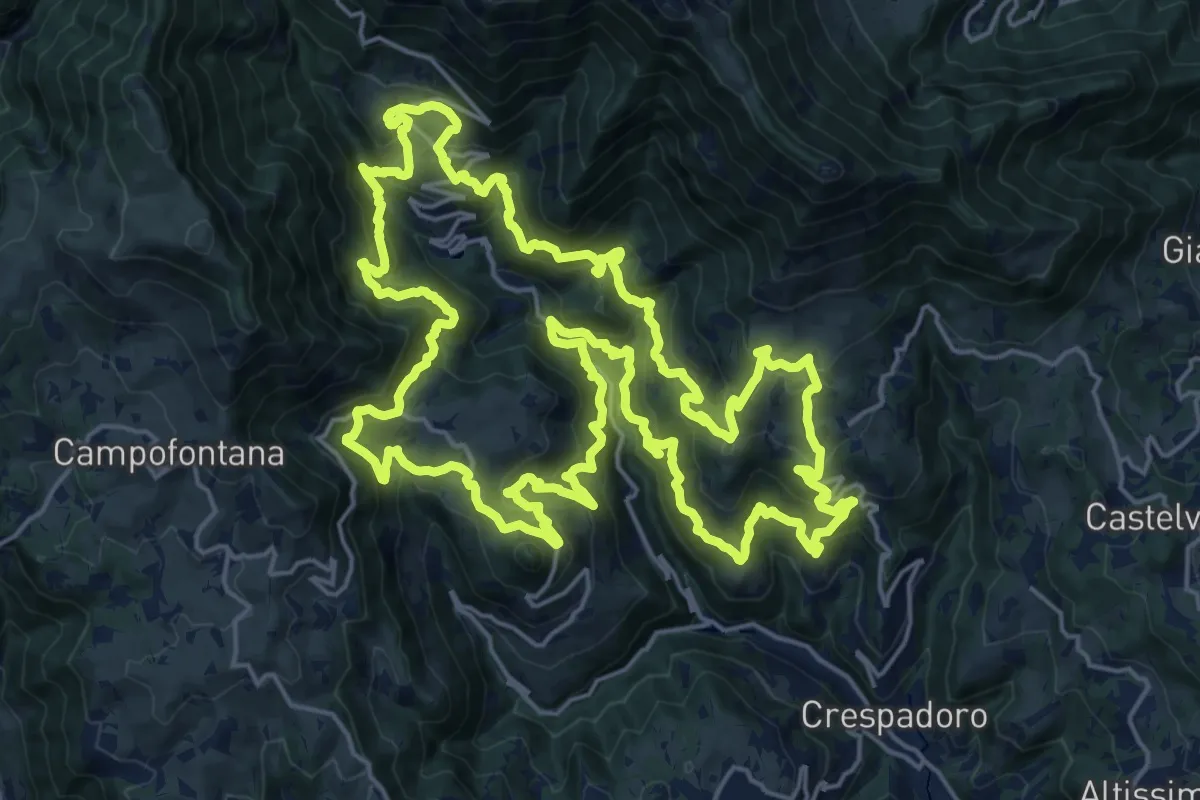
Demanding · Summit
Tre campanili al vento
25.0 km · ↑ 1721 m · 9 h 59 min · 9 km away
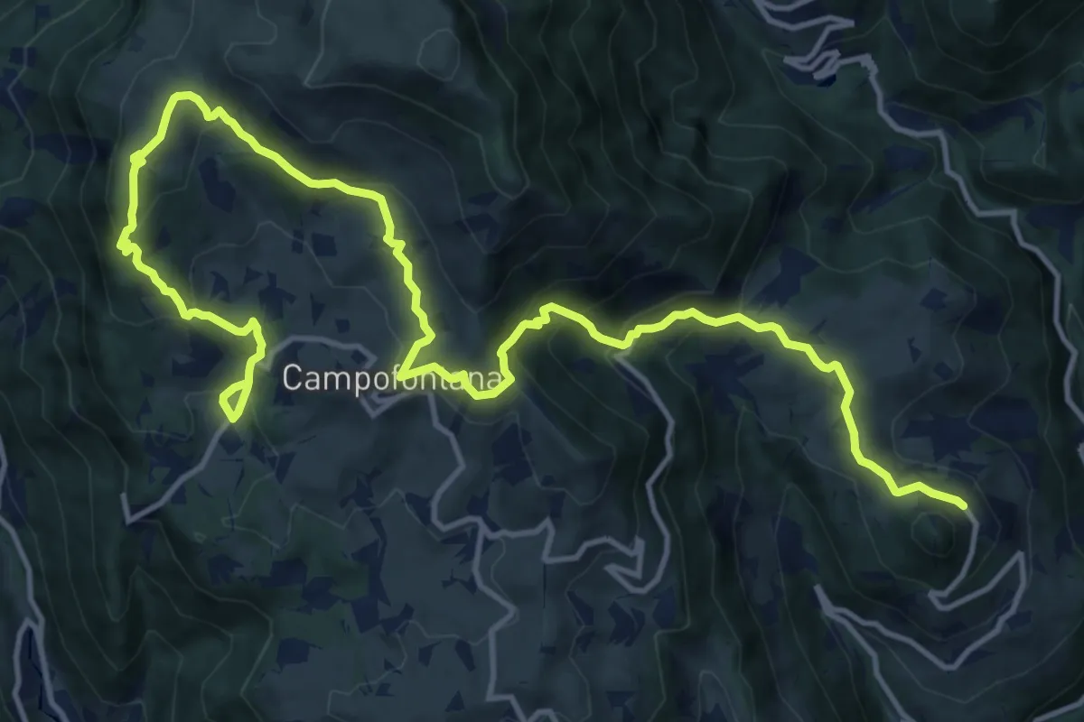
Demanding · Trail
Percorso dei sette vulcani tappa 4
18.5 km · ↑ 1060 m · 6 h 40 min · 9 km away
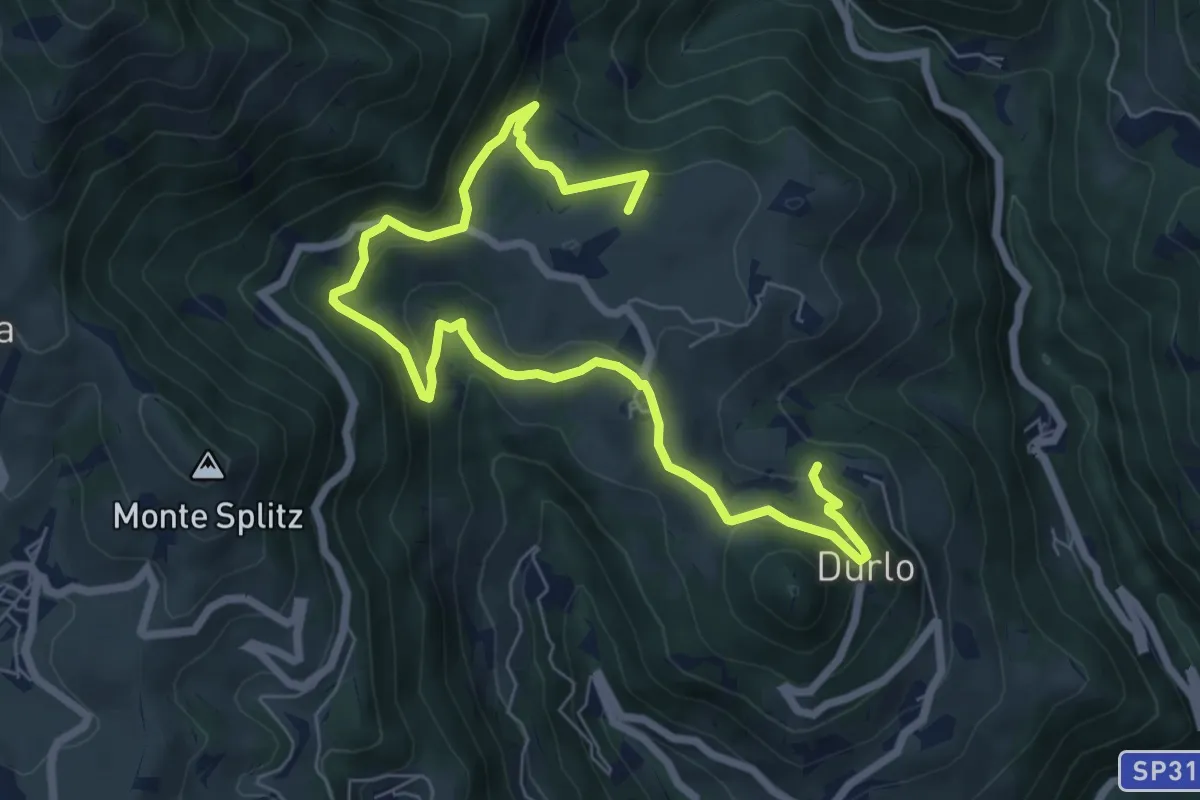
Medium · Summit
La Via dell'acqua
9.1 km · ↑ 449 m · 3 h 7 min · 9 km away
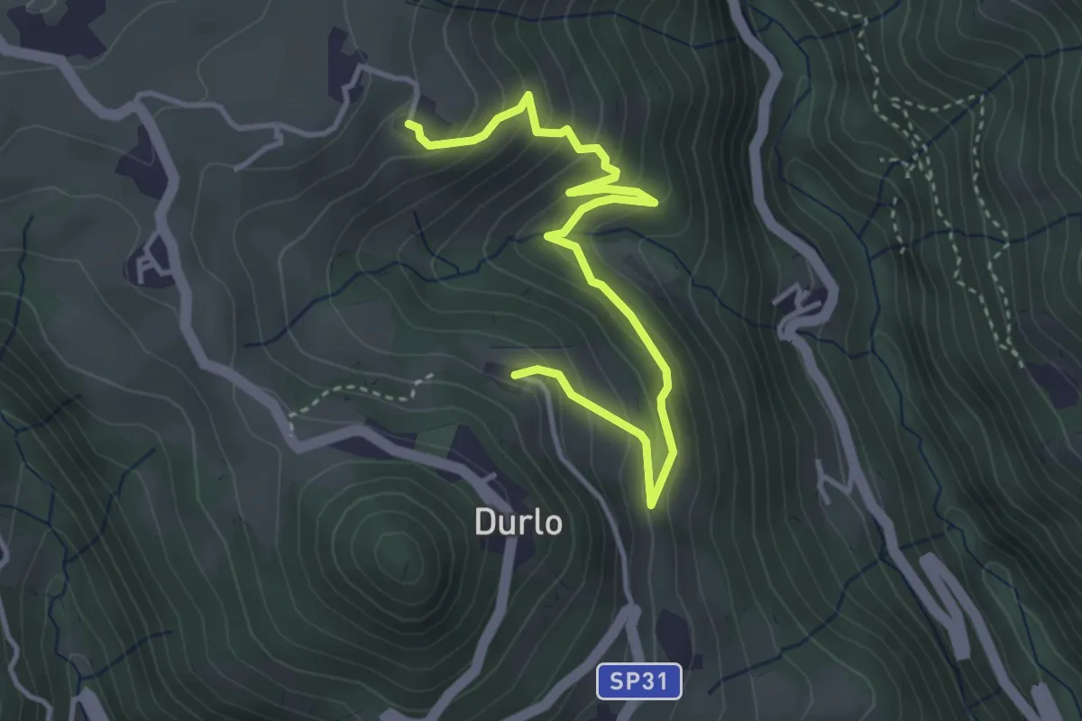
Medium · Trail
02 Sentiero del Proneche
4.2 km · ↑ 371 m · 1 h 48 min · 9 km away
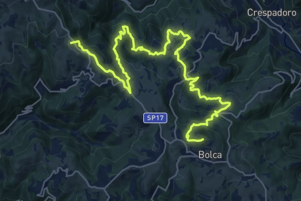
Demanding · Summit
Percorso dei sette vulcani tappa 3
21.2 km · ↑ 1175 m · 7 h 34 min · 9 km away
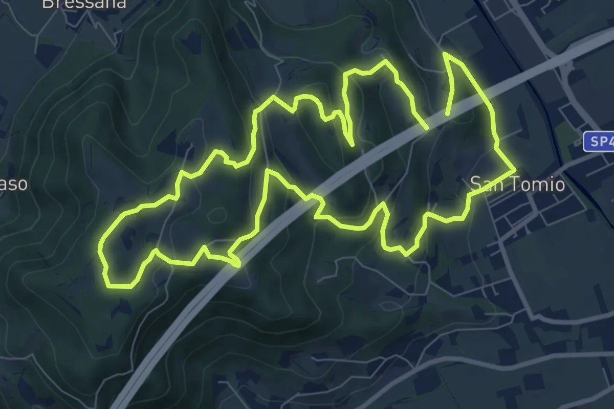
Medium · Trail
Primo sentiero della Memoria (o Dei Capitelli)
8.4 km · ↑ 358 m · 2 h 51 min · 9 km away
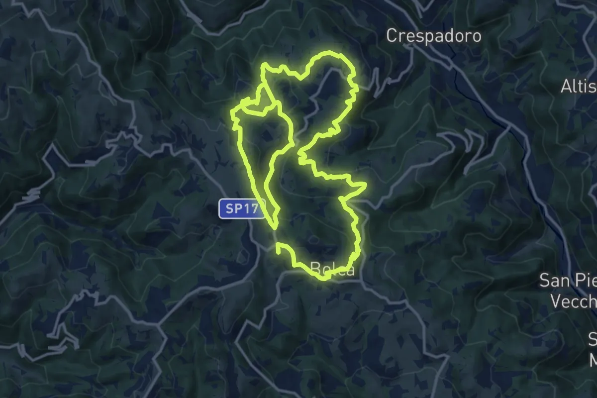
Demanding · Summit
Sentiero Ciclamino - Contrade Nord
25.3 km · ↑ 1117 m · 8 h 23 min · 9 km away
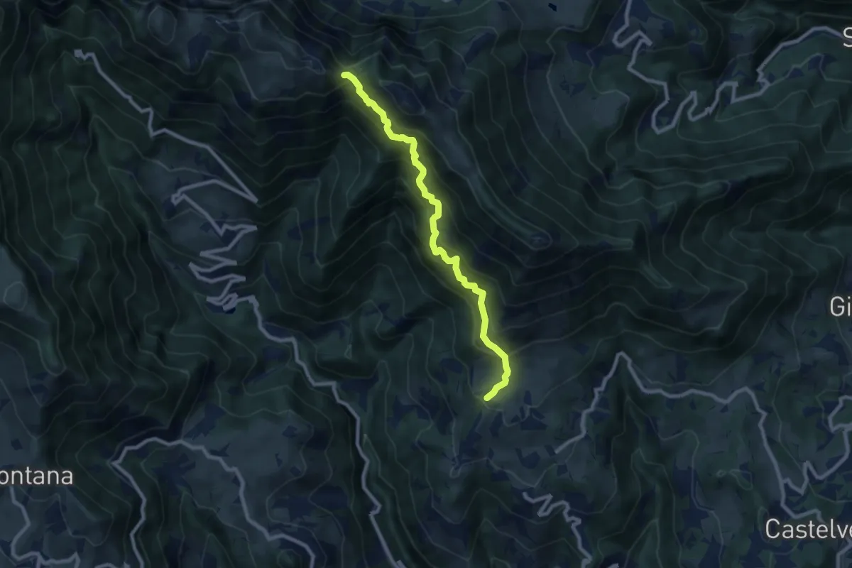
Demanding · Trail
Contrada Castagna di Marana – Passo della Porta - innesto sentiero 202
8.2 km · ↑ 888 m · 3 h 51 min · 9 km away
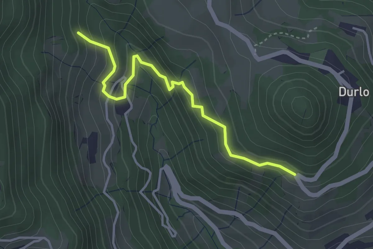
Easy · Trail
08 Sentiero dei Sengi
3.4 km · ↑ 269 m · 1 h 23 min · 9 km away
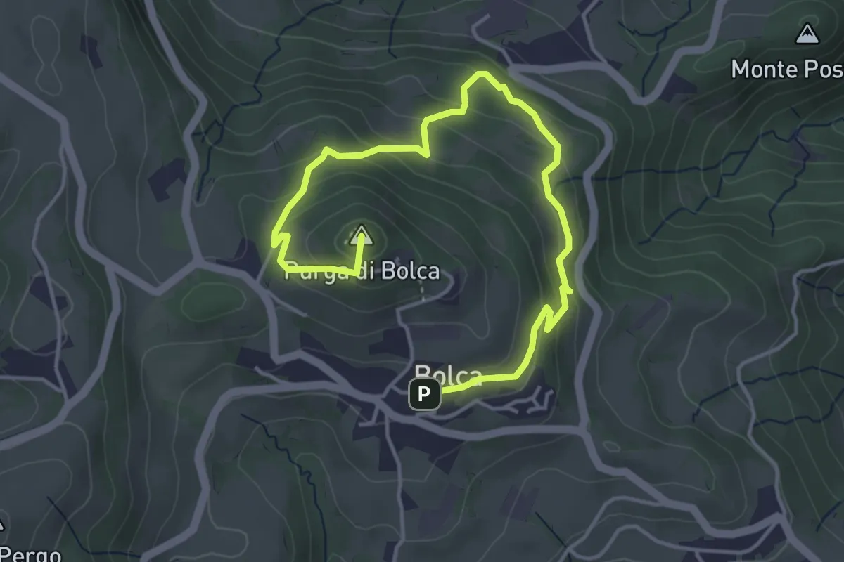
Easy · Summit
Sentiero Blu - Giro del Monte Purga
5.4 km · ↑ 305 m · 1 h 56 min · 9 km away
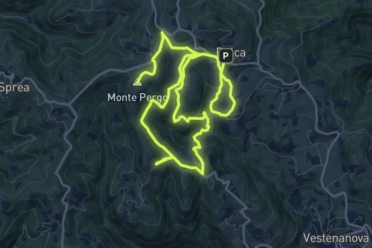
Demanding · Summit
Sentiero Verde - Monte Pergo
18.9 km · ↑ 827 m · 6 h 16 min · 9 km away
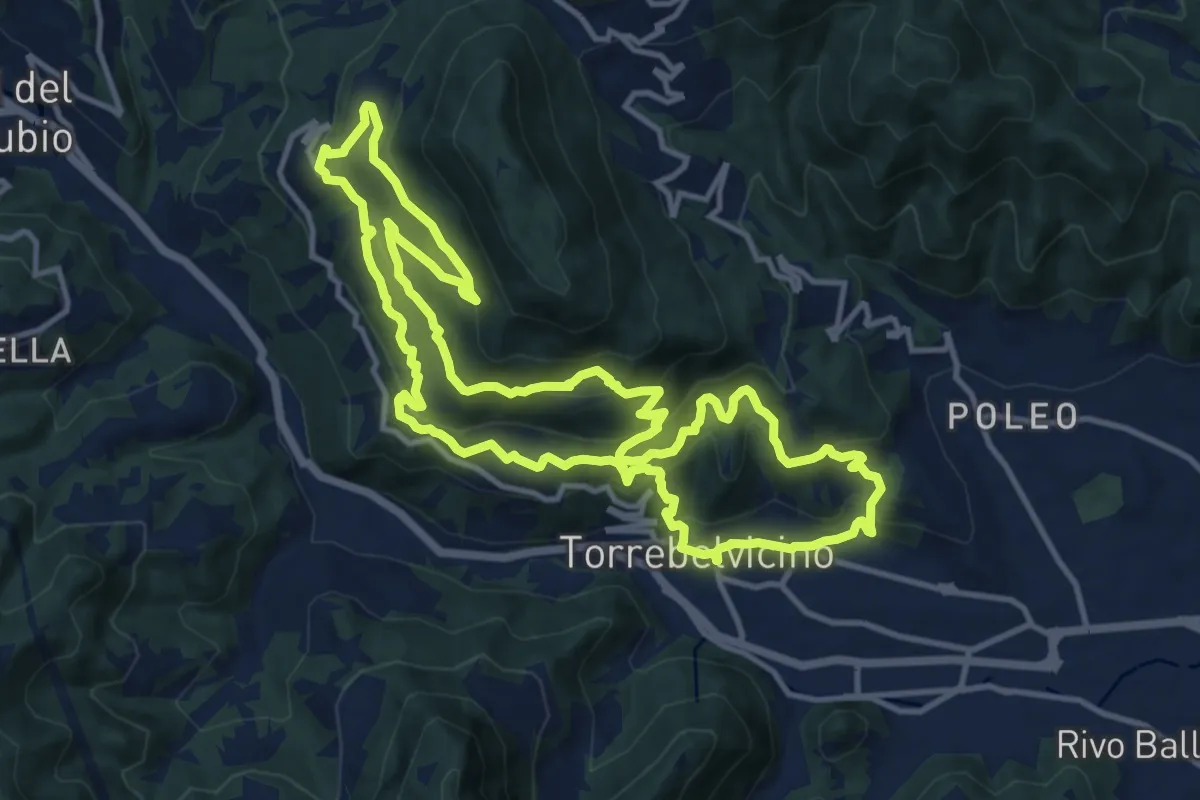
Demanding · Trail
Sentiero Panoramico della Val Leogra
13.3 km · ↑ 655 m · 4 h 45 min · 9 km away
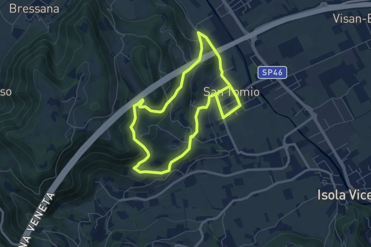
Medium · Trail
Sentiero degli Asini
11.8 km · ↑ 411 m · 3 h 41 min · 9 km away
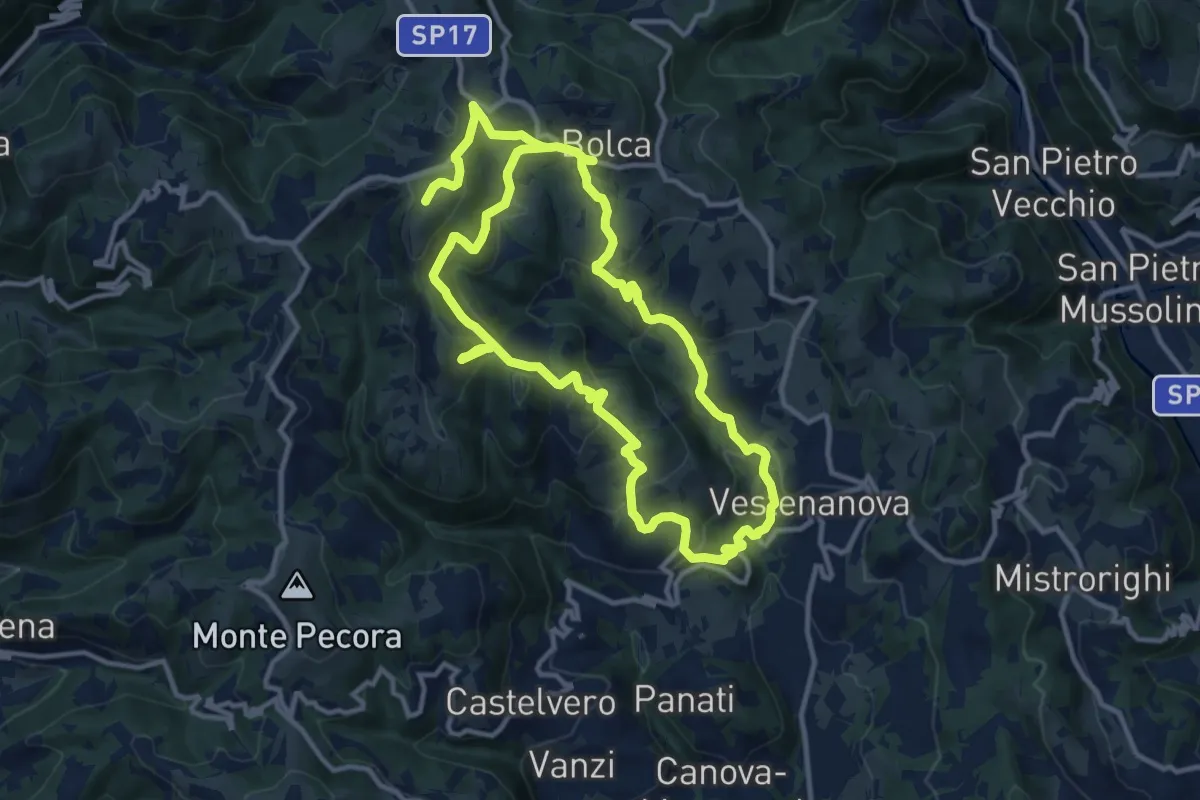
Demanding · Summit
Sentiero Arancione - Le 3 croci di Celestino Baldo
22.9 km · ↑ 1103 m · 7 h 48 min · 9 km away
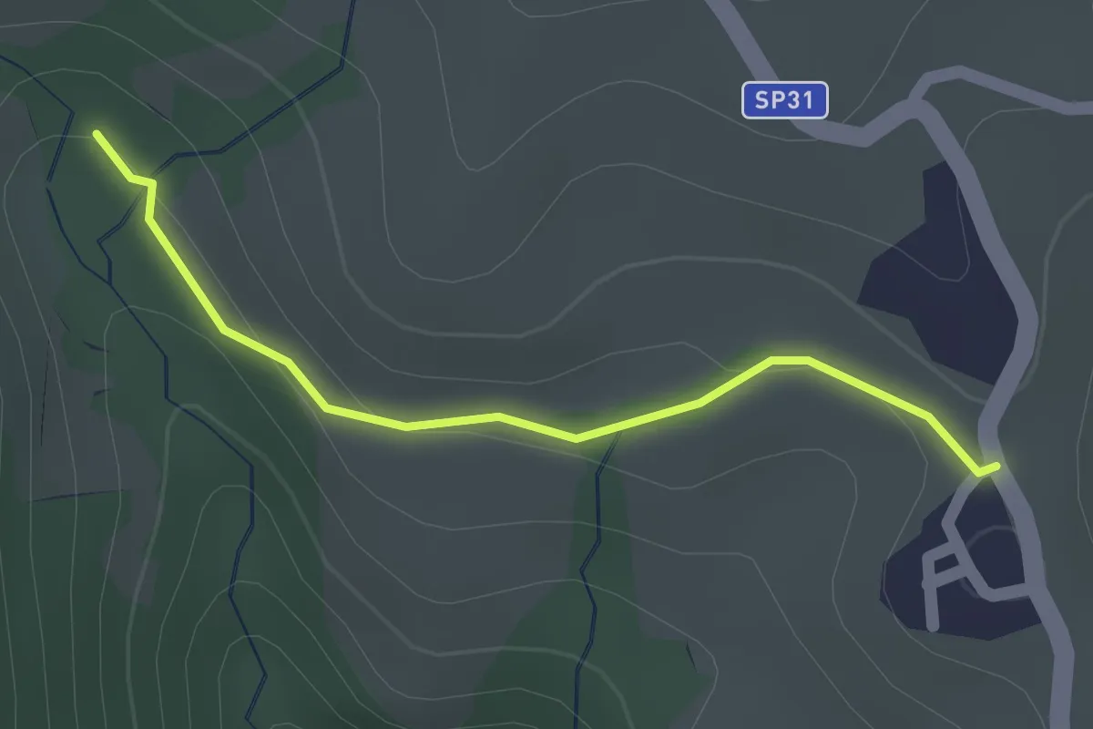
Easy · Summit
05 Sentiero del Golge
1.5 km · ↑ 26 m · 24 min · 9 km away
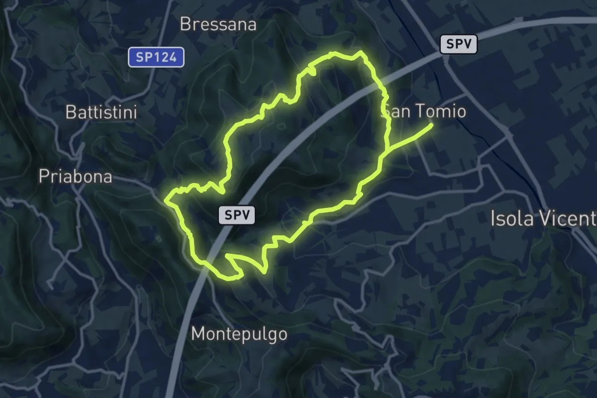
Medium · Trail
Giro panoramico del Monte Pian
10.4 km · ↑ 452 m · 3 h 34 min · 9 km away
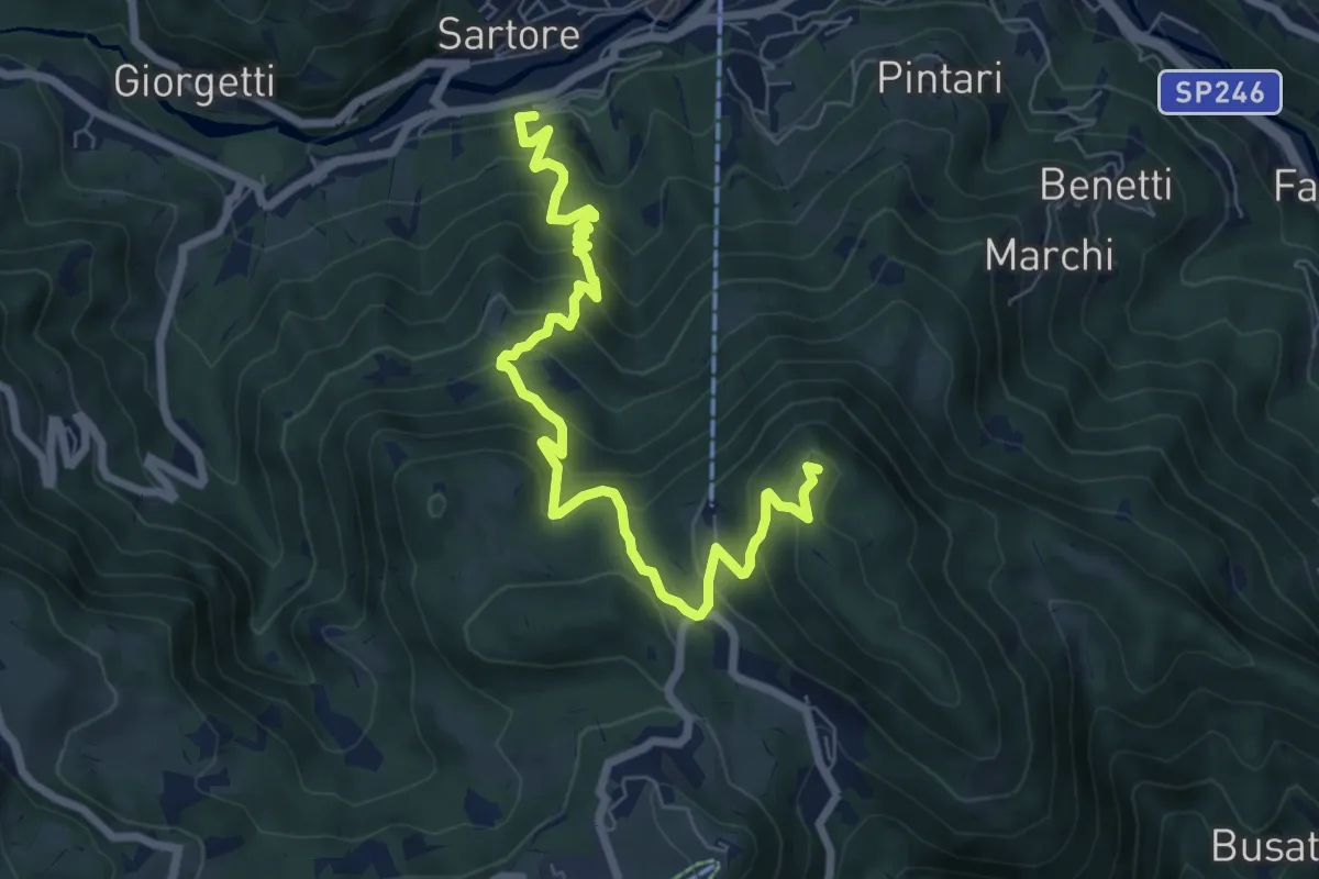
Medium · Summit
Sentiero Italo Soldà
8.3 km · ↑ 729 m · 3 h 32 min · 9 km away
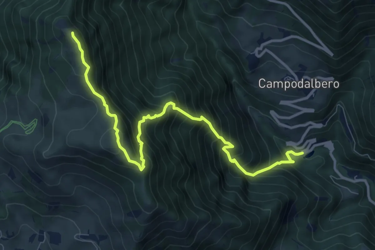
Demanding · Summit
Contrà Molino di Campodalbero – Cima di Lobbia
9.6 km · ↑ 1152 m · 4 h 46 min · 10 km away
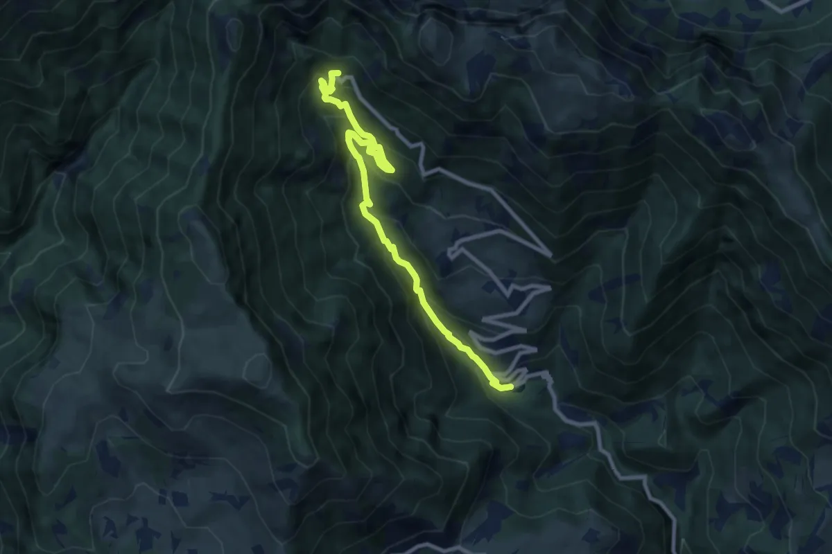
Medium · Cabin
Contrà Molino di Campodalbero – Rifugio Bertagnoli
8.8 km · ↑ 758 m · 3 h 44 min · 10 km away
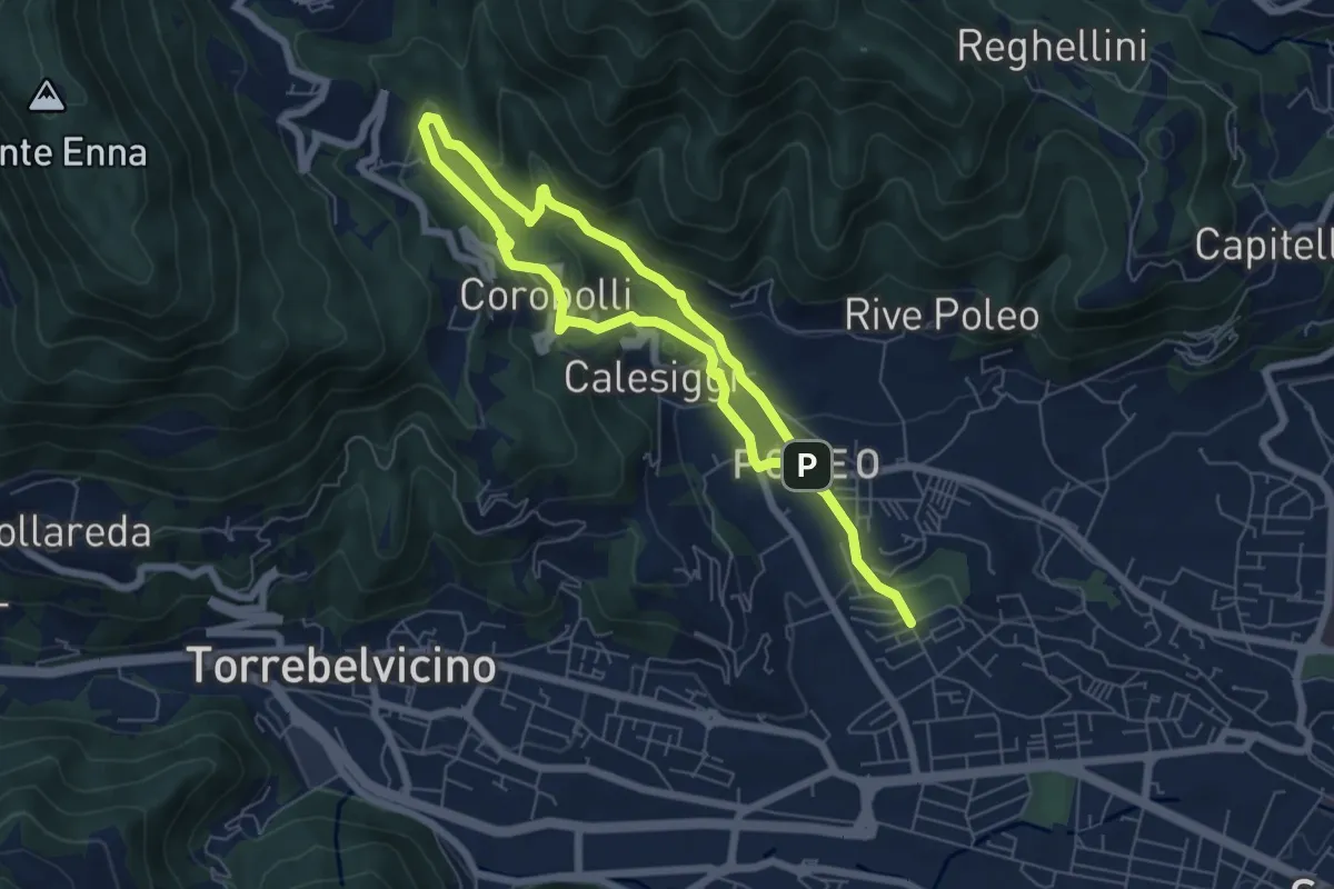
Medium · Trail
La via dei Mulini
10.3 km · ↑ 541 m · 3 h 36 min · 10 km away