Trails near Valdagno
152 hikes starting within 15 km, nearest first.
Nearest first, page 3 of 4
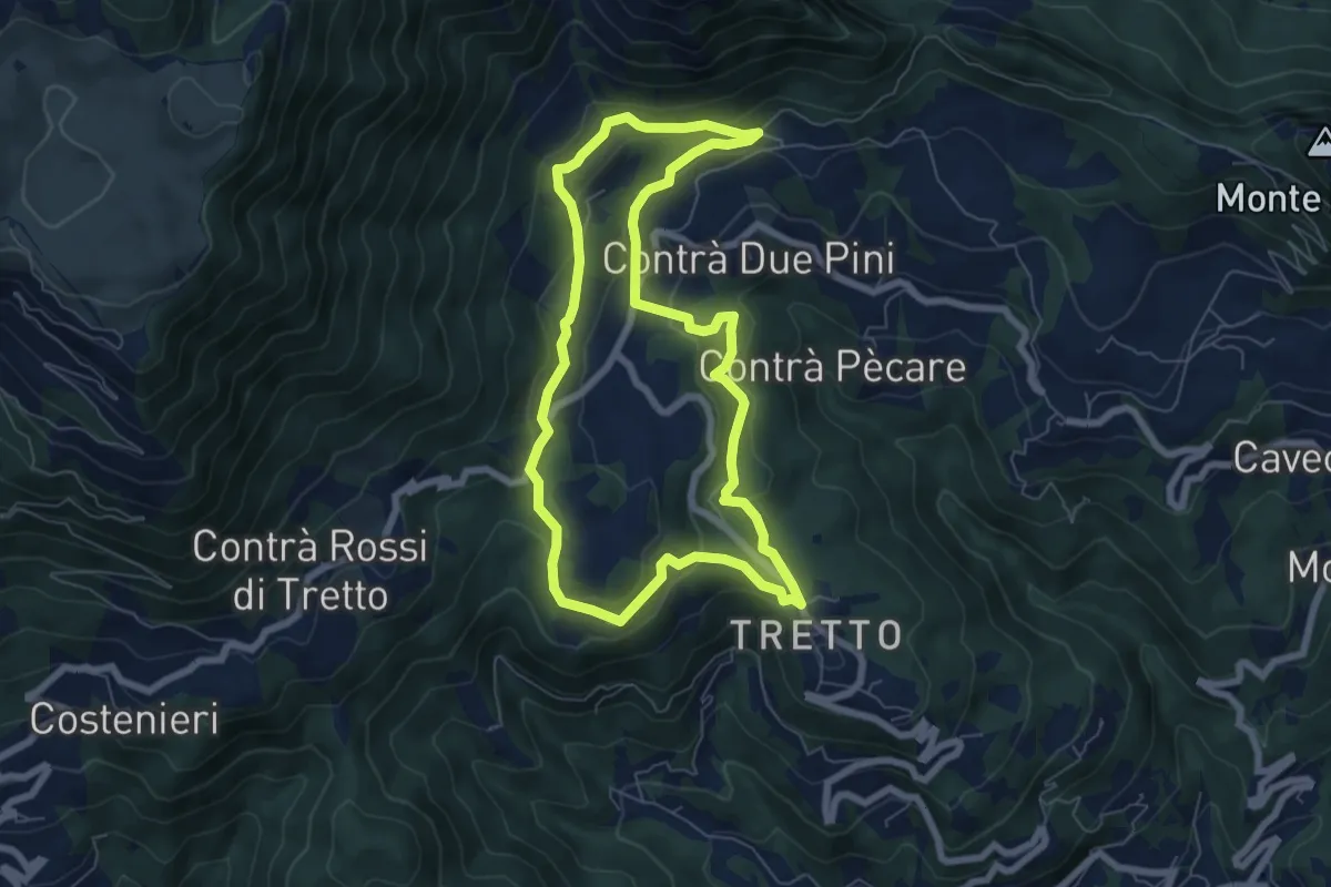
Easy · Trail
Sopra la Valle dell'Orco
6.6 km · ↑ 258 m · 2 h 13 min · 13 km away
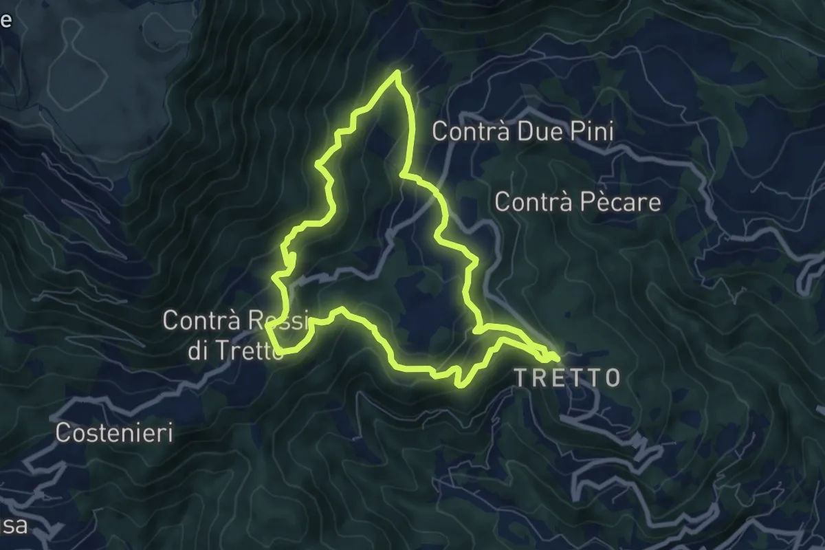
Medium · Trail
Alta Vista
7.2 km · ↑ 428 m · 2 h 44 min · 13 km away
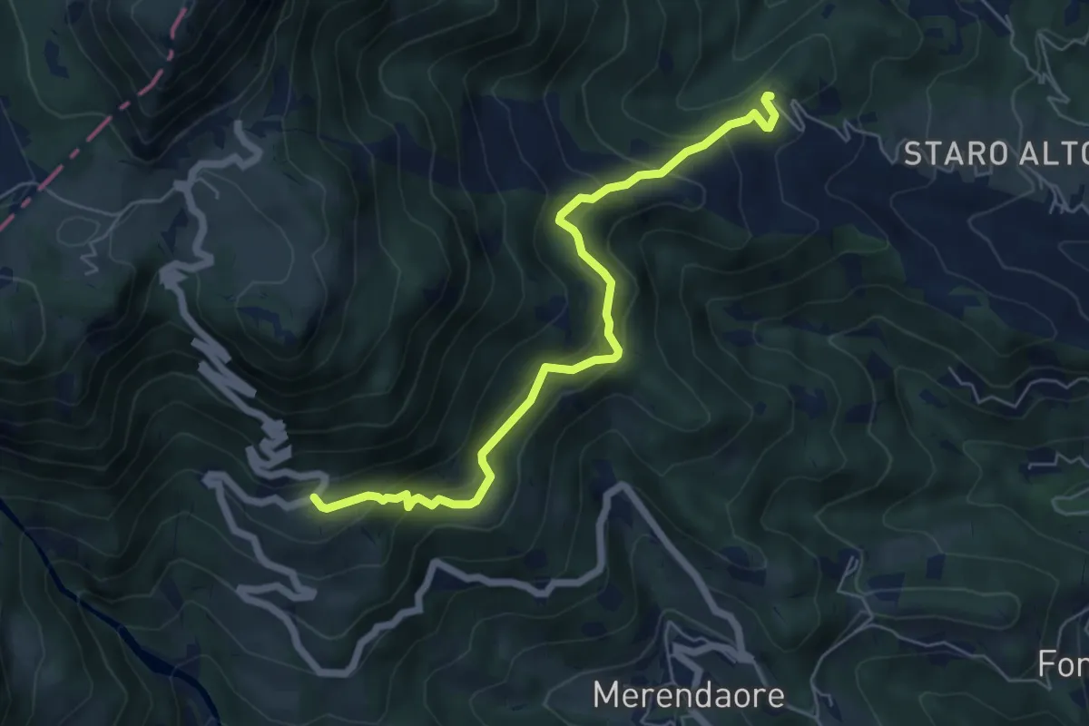
Medium · Trail
rifugio La Guardia – nei pressi di Staro Mille
6.1 km · ↑ 452 m · 2 h 26 min · 13 km away
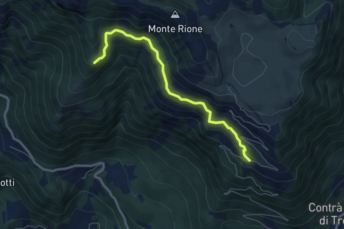
Medium · Trail
sotto Malga Pianeti (parcheggio) - da sent. 422 – Malga Ronchetta bivio sent. 411
5.5 km · ↑ 414 m · 2 h 11 min · 13 km away
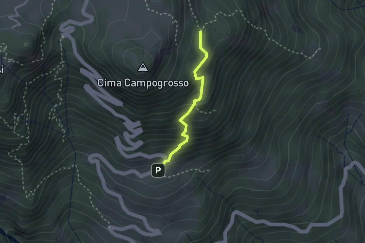
Easy · Trail
Sentiero del Becco Storto
2.0 km · ↑ 242 m · 1 h · 13 km away
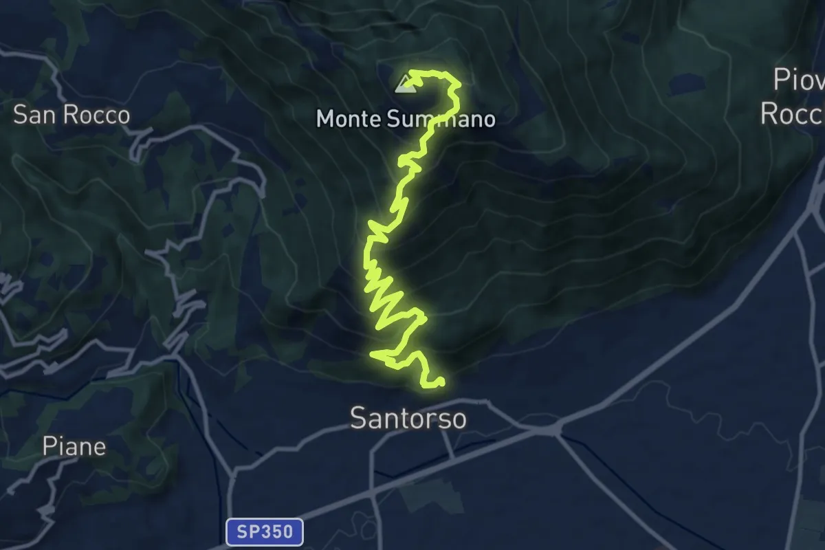
Demanding · Summit
Via Crucis
12.8 km · ↑ 1091 m · 5 h 23 min · 13 km away
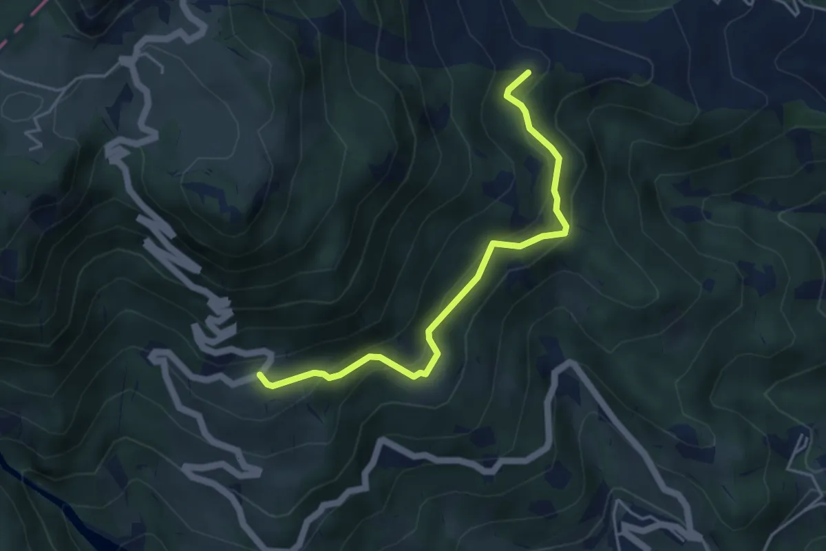
Easy · Trail
Rifugio La Guardia – nei Pressi di Staro Mille (innesto sentiero 154)
4.2 km · ↑ 281 m · 1 h 36 min · 13 km away
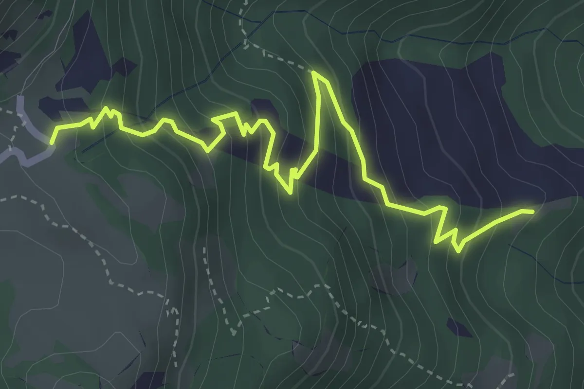
Medium · Trail
Località Ramaise – Rifugio Campogrosso
4.6 km · ↑ 431 m · 2 h 1 min · 13 km away
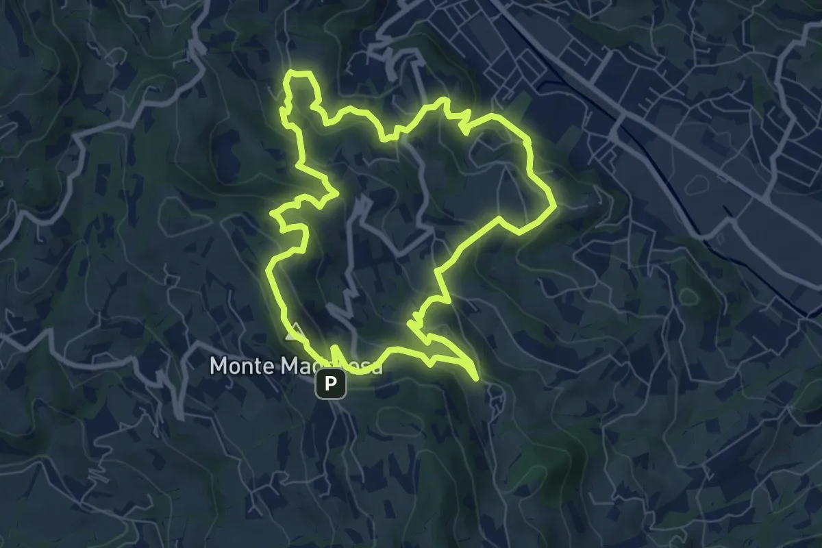
Medium · Summit
Il Sentiero delle Marogne 1
8.1 km · ↑ 433 m · 2 h 58 min · 13 km away
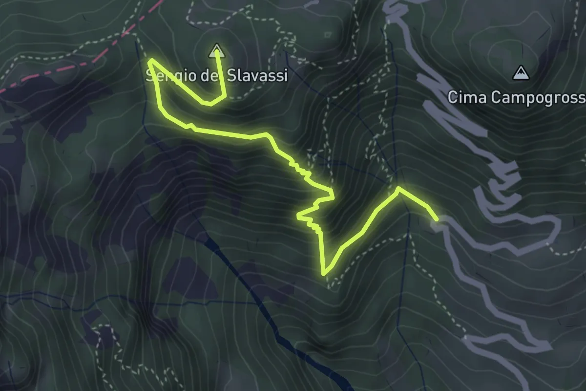
Medium · Summit
Sentiero delle Mole
4.6 km · ↑ 473 m · 2 h 7 min · 13 km away
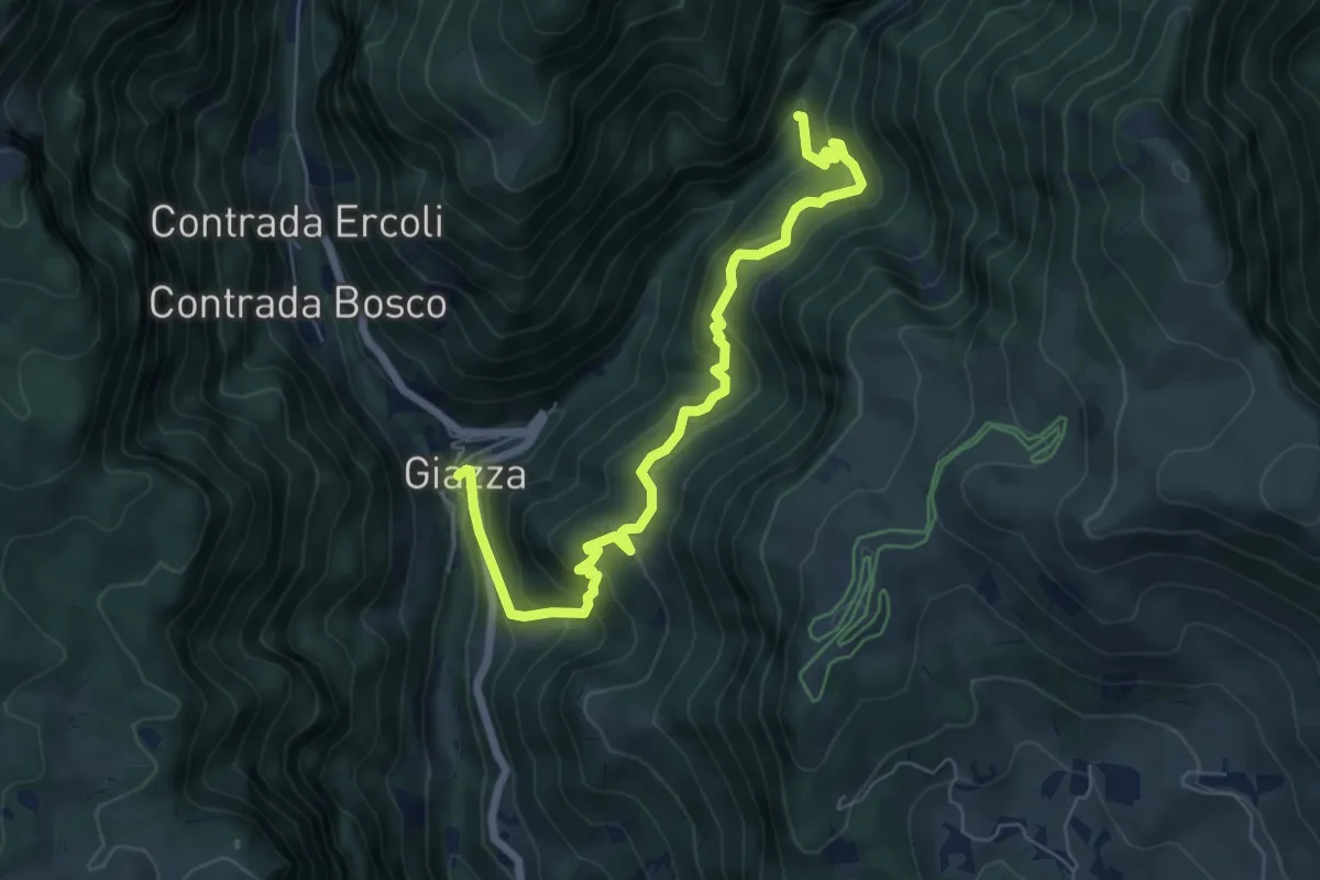
Medium · Trail
Sentiero dei Prusti
7.3 km · ↑ 536 m · 2 h 54 min · 13 km away
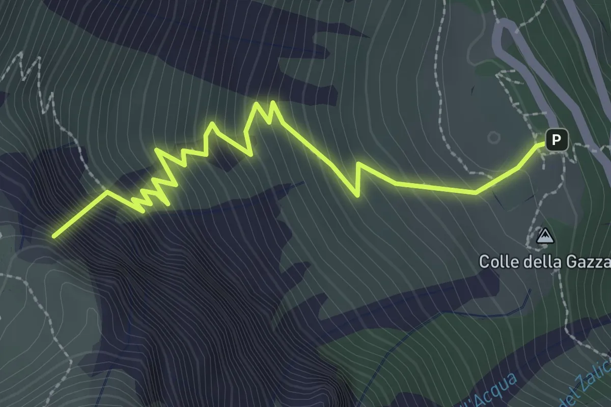
Medium · Summit
Rifugio Battisti alla Gazza – Passo della Lora o delle Tre Croci - conf. Reg.
3.1 km · ↑ 466 m · 1 h 44 min · 13 km away
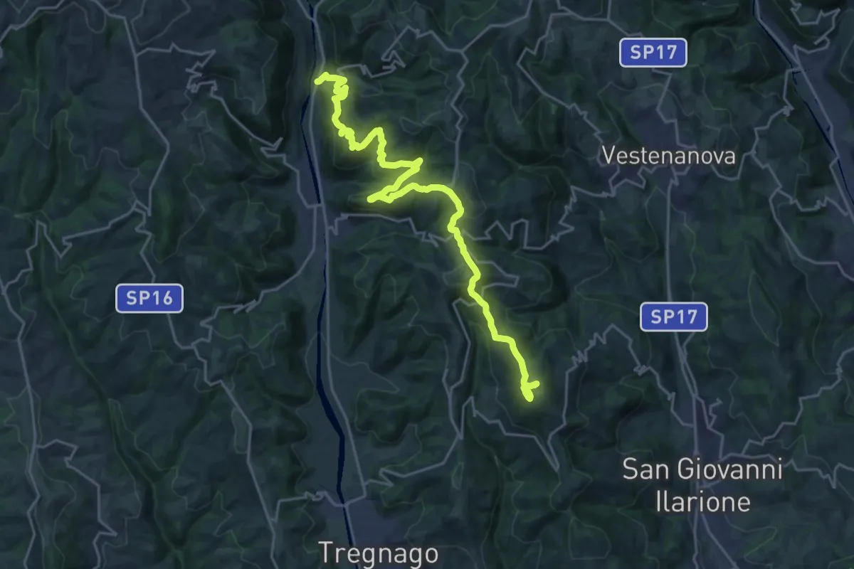
Demanding · Summit
Percorso dei sette vulcani tappa 6
23.6 km · ↑ 1279 m · 8 h 21 min · 13 km away
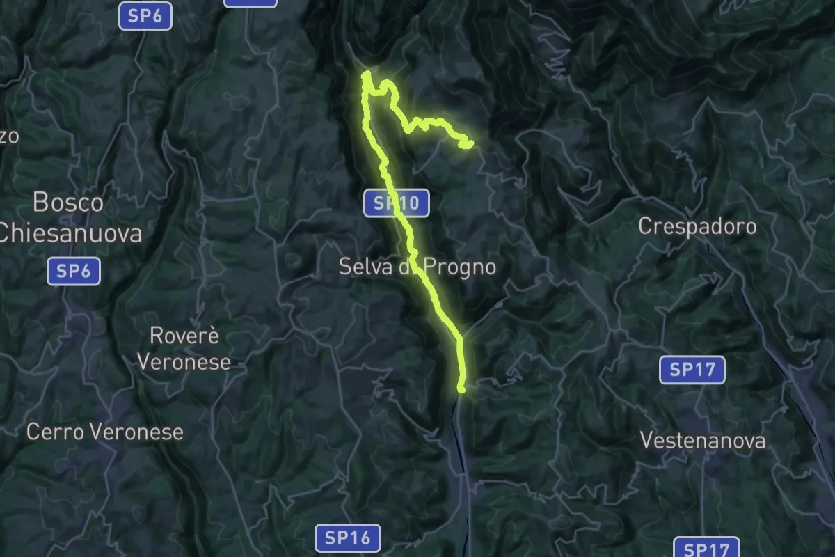
Demanding · Trail
Percorso dei sette vulcani tappa 5
14.2 km · ↑ 962 m · 5 h 16 min · 13 km away
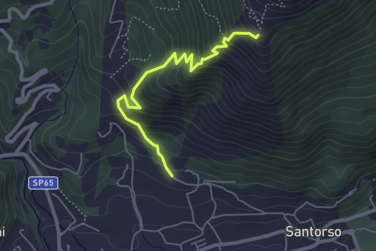
Medium · Trail
Cava di Pietra (Santorso) – Prà Minore (innesto sentiero 457)
4.3 km · ↑ 487 m · 2 h 5 min · 13 km away
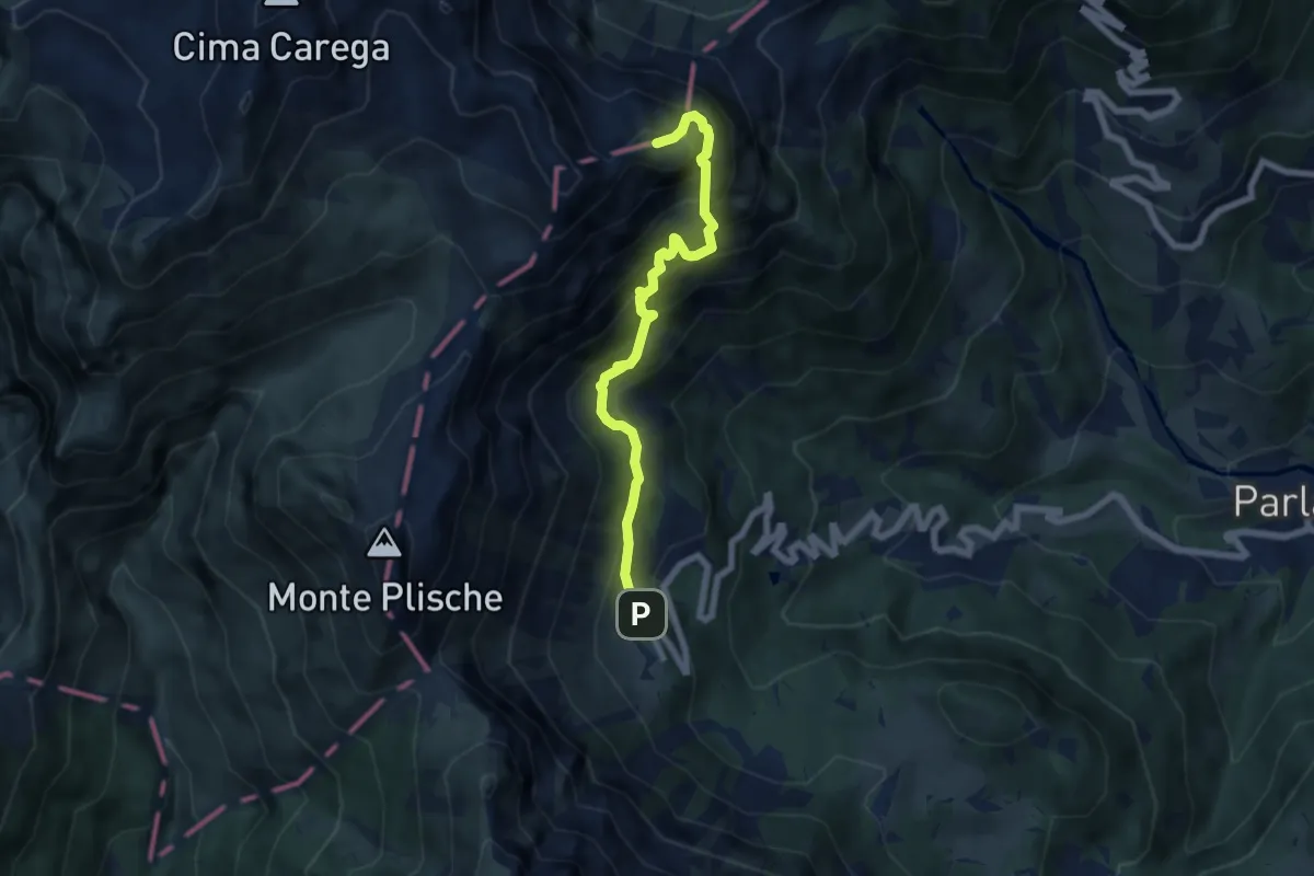
Expert · Summit
Sentiero Attrezzato del Vajo Scuro
6.5 km · ↑ 1031 m · 3 h 46 min · 14 km away
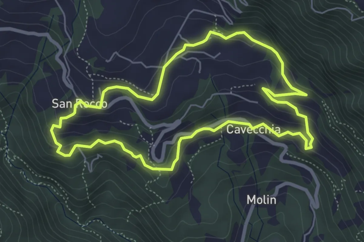
Easy · Trail
Sojo Negro
5.2 km · ↑ 205 m · 1 h 44 min · 14 km away
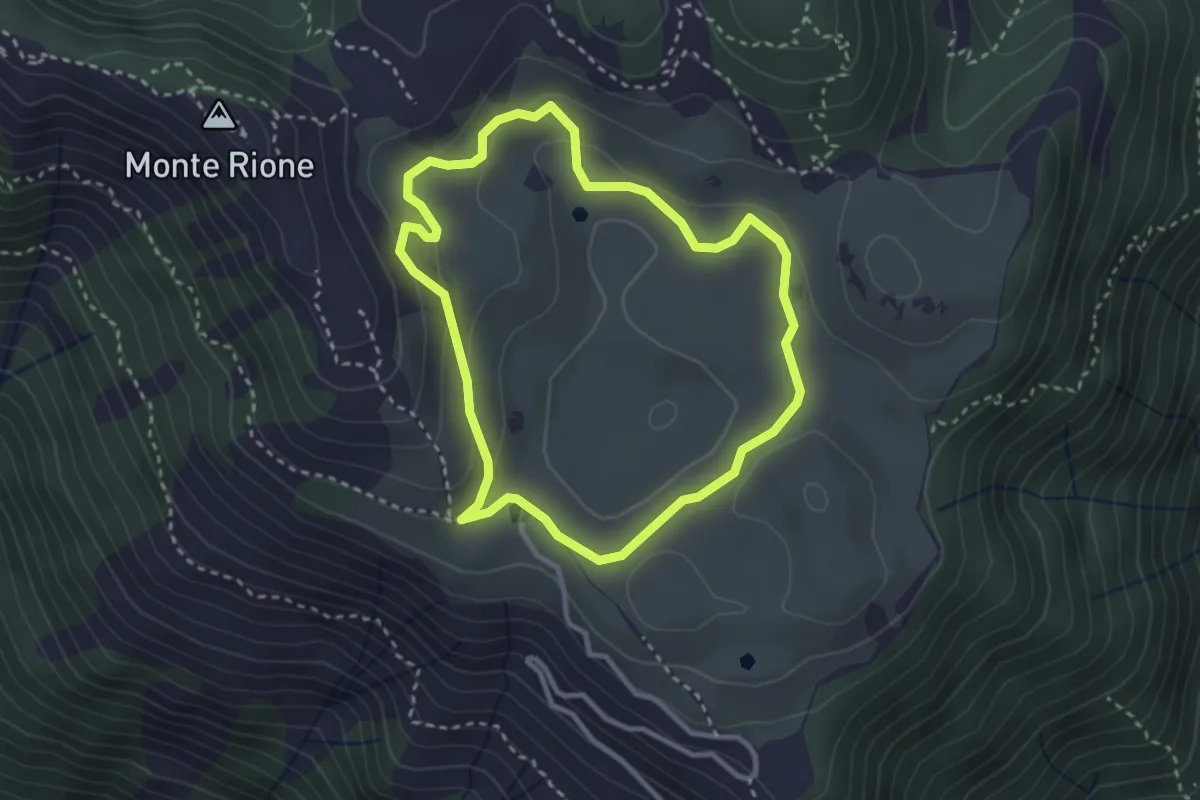
Easy · Trail
Anello di Busa Novegno
2.8 km · ↑ 92 m · 54 min · 14 km away
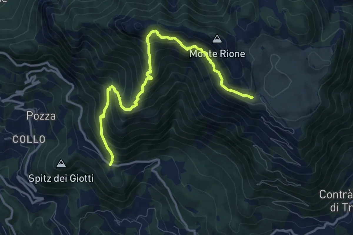
Demanding · Trail
Vallortigara - Busa del Novegno
9.4 km · ↑ 970 m · 4 h 19 min · 14 km away
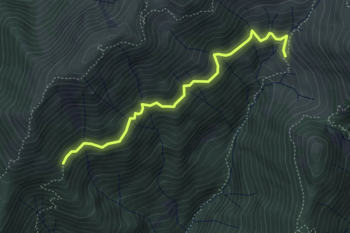
Medium · Trail
Malga Fraselle di Sotto – Bivio sentiero Cai 282
4.5 km · ↑ 358 m · 1 h 51 min · 14 km away
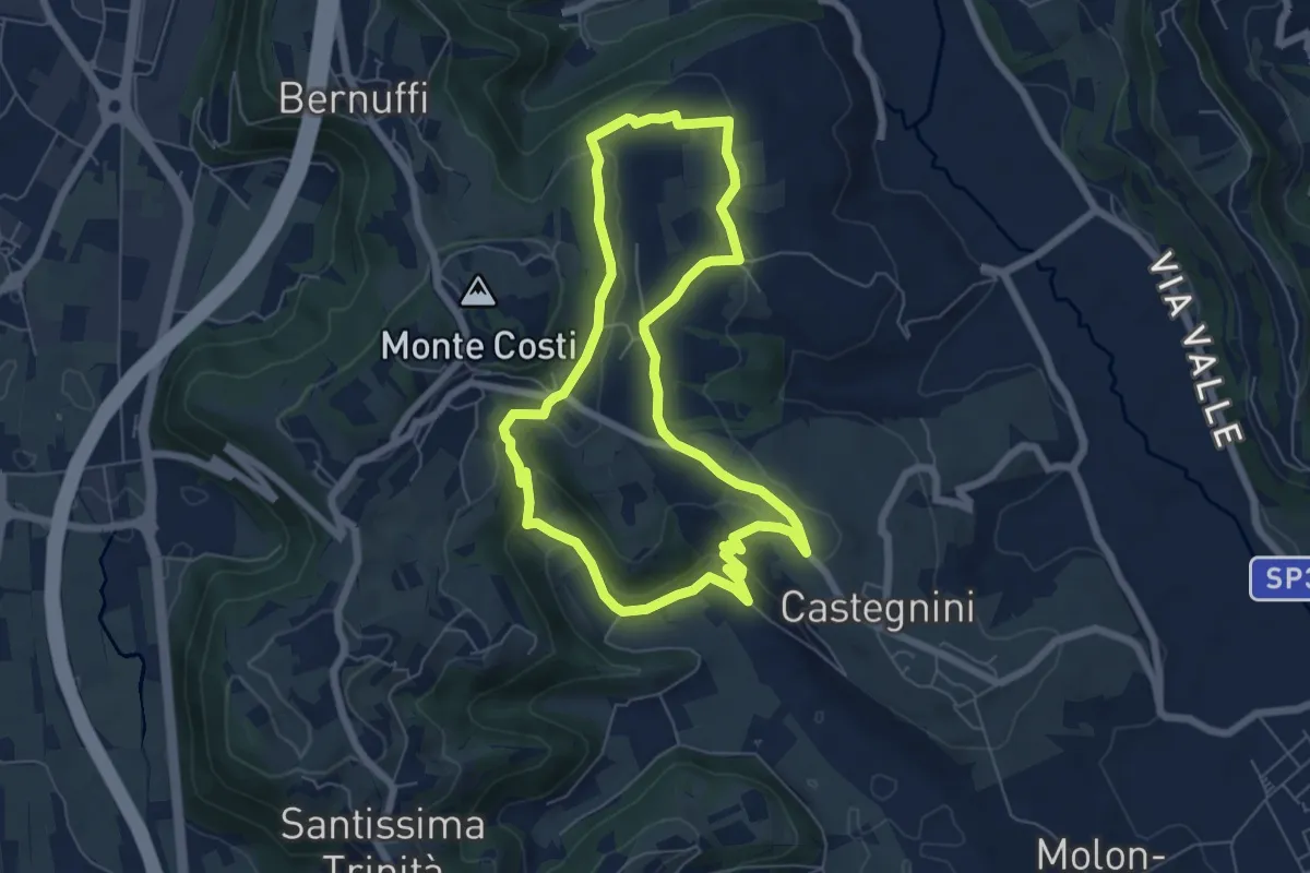
Easy · Trail
11-Carbonara, Vigo e S. Urbano
6.4 km · ↑ 177 m · 1 h 59 min · 14 km away
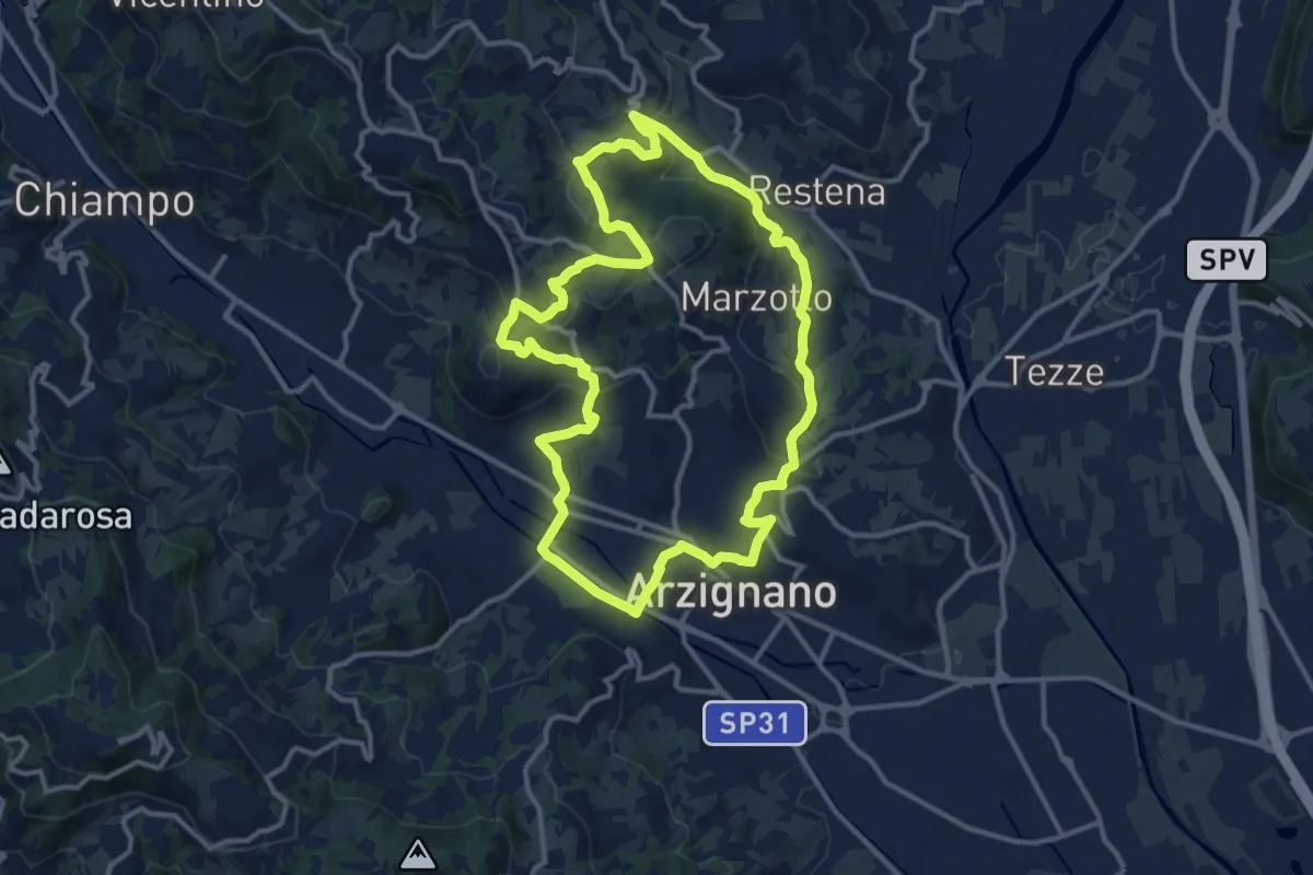
Medium · Trail
Sentiero Arancio
12.8 km · ↑ 382 m · 4 h 2 min · 14 km away
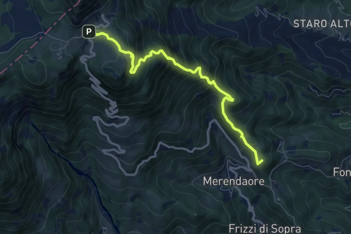
Medium · Summit
Sentiero "Alberto Gresele"
7.7 km · ↑ 683 m · 3 h 18 min · 14 km away
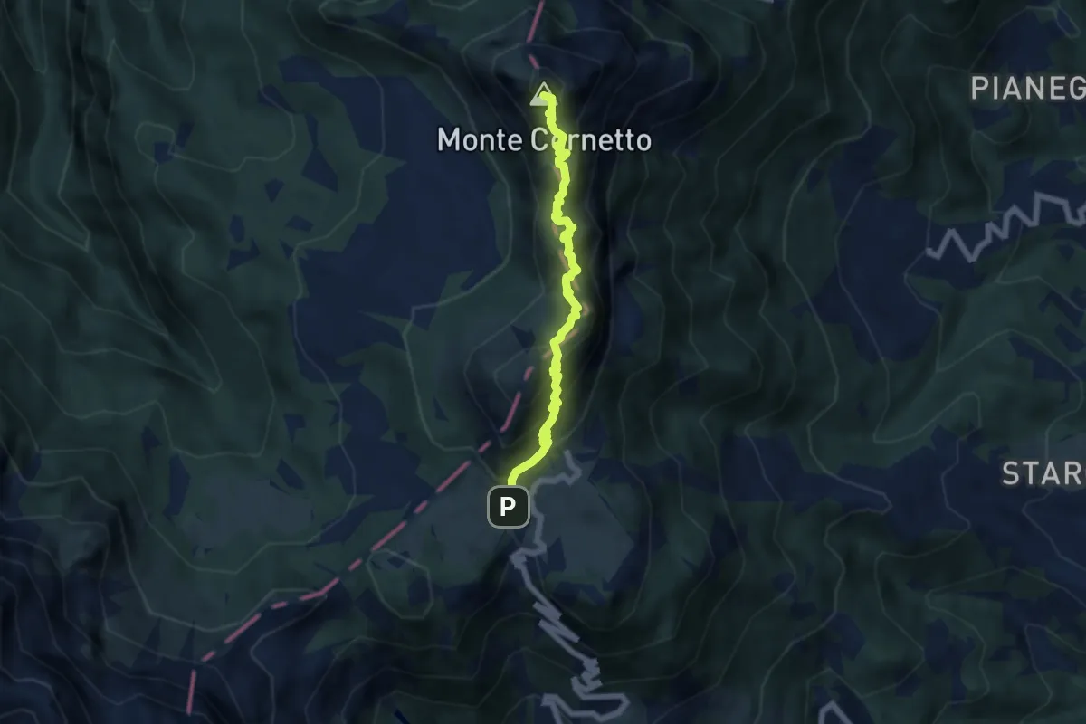
Demanding · Summit
Sentiero di arroccamento del Sengio Alto
5.9 km · ↑ 585 m · 2 h 39 min · 14 km away
Medium · Summit
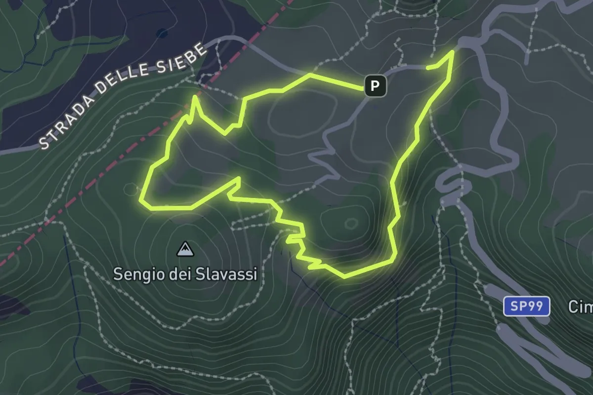
I Anello Storico
2.2 km · ↑ 108 m · 48 min · 14 km away
Easy · Trail
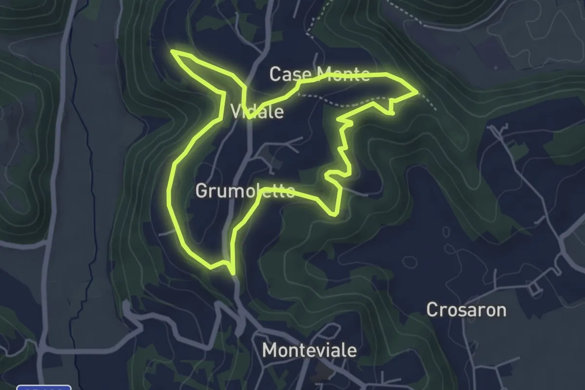
Sentiero Vegrolongo - della Sorgente - dell'Ornaro
4.6 km · ↑ 141 m · 1 h 27 min · 14 km away
Easy · Trail
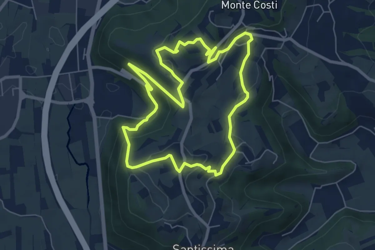
06-Sentiero Giaragù e priare di S. Urbano
5.7 km · ↑ 217 m · 1 h 53 min · 14 km away
Demanding · Trail
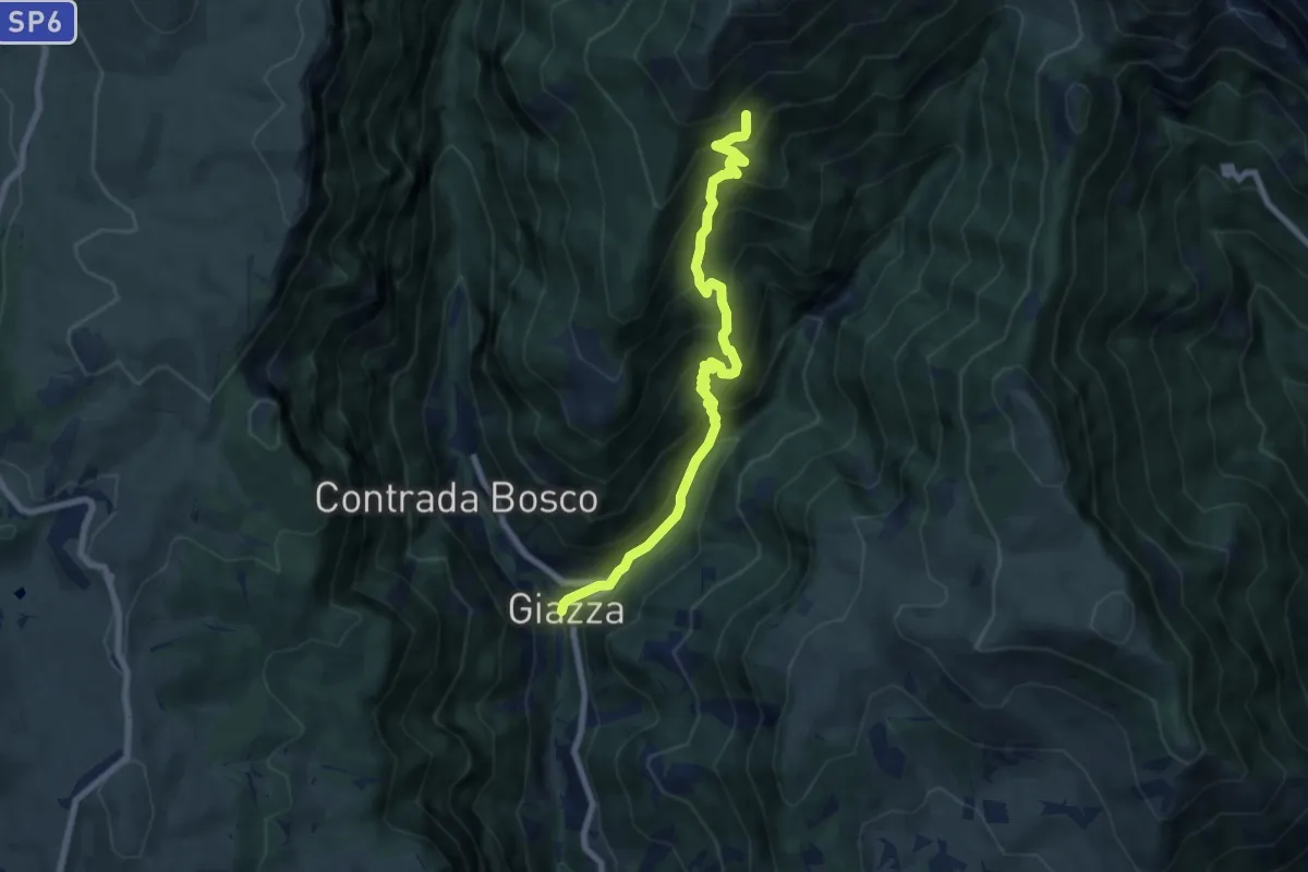
Giazza – Sopra bosco del Tàmbaro inn. sent. 281
7.7 km · ↑ 837 m · 3 h 38 min · 14 km away
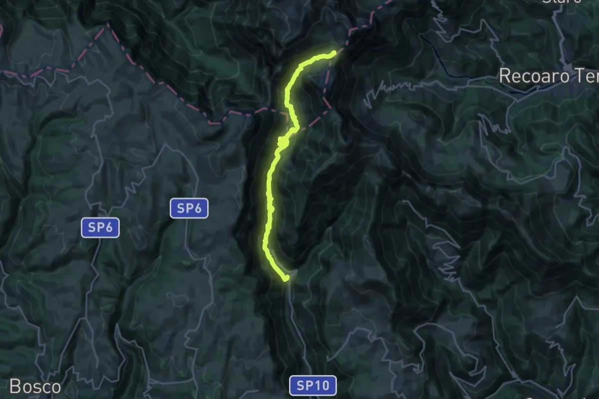
Demanding · Cabin
Giazza, Dogana Vecchia, Rifugio Pompeo Scalorbi
21.1 km · ↑ 1328 m · 7 h 51 min · 14 km away
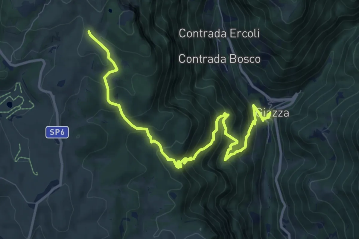
Demanding · Trail
Dorsale Alta della Lessinia tratto Giazza - Parparo di Sopra
9.9 km · ↑ 856 m · 4 h 11 min · 14 km away
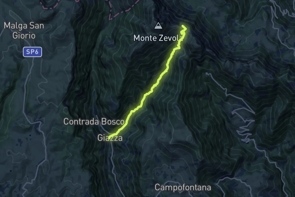
Demanding · Summit
Giazza – Passo Ristele
10.9 km · ↑ 979 m · 4 h 42 min · 14 km away
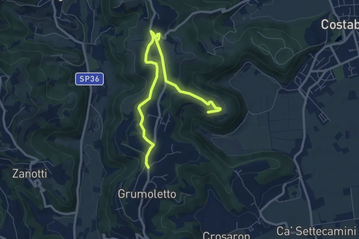
Easy · Trail
Sentiero Strada False
7.5 km · ↑ 173 m · 2 h 9 min · 14 km away
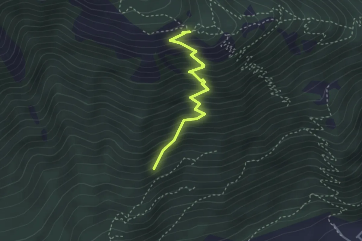
Medium · Trail
Sasso de la Poia
2.7 km · ↑ 413 m · 1 h 31 min · 14 km away
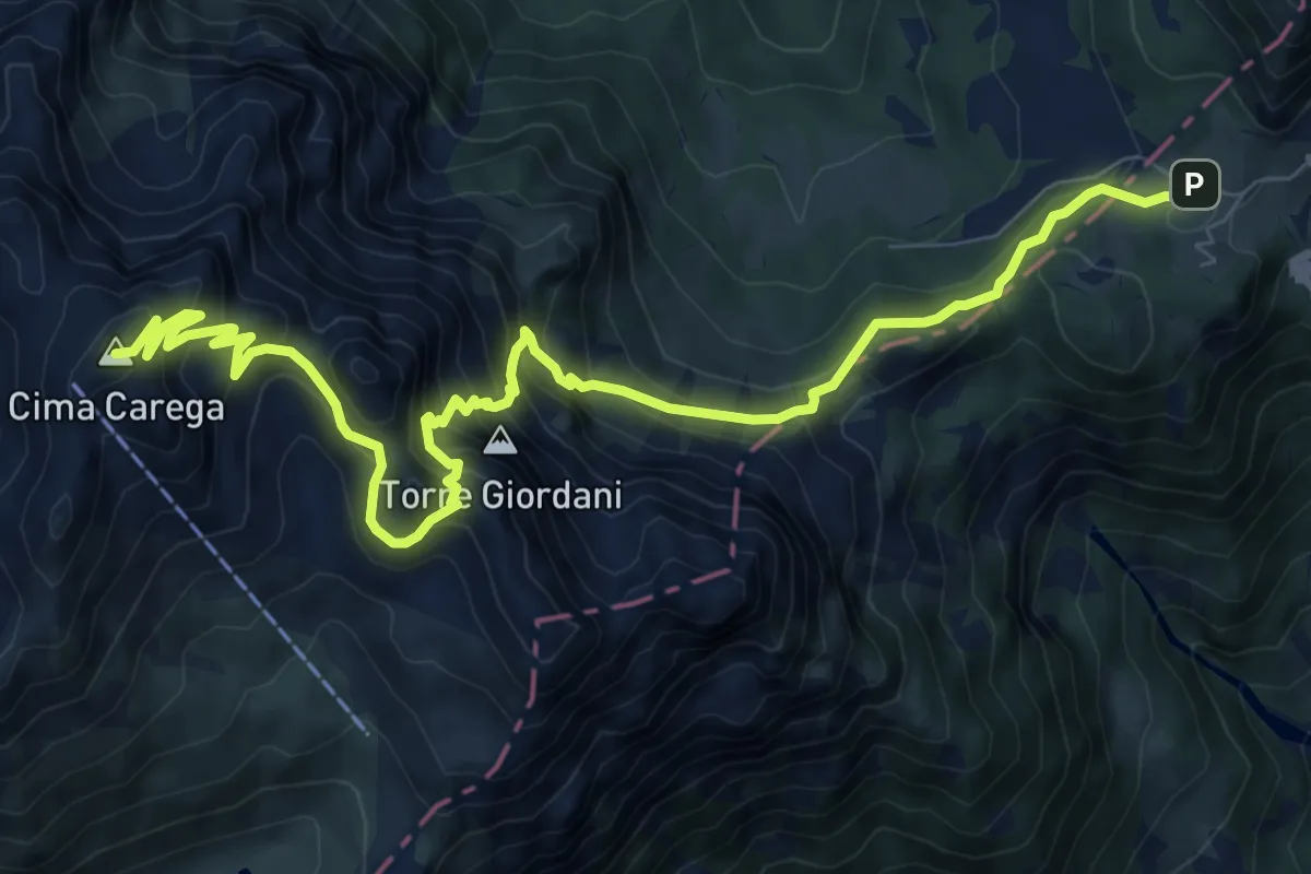
Demanding · Summit
Sentiero Boale dei Fondi
11.3 km · ↑ 1077 m · 5 h 1 min · 14 km away
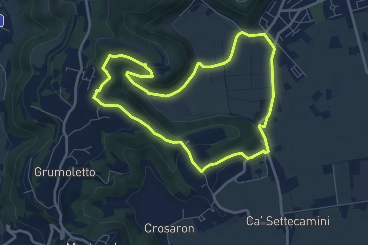
Easy · Trail
Sentiero del Perozzo
6.2 km · ↑ 160 m · 1 h 53 min · 14 km away
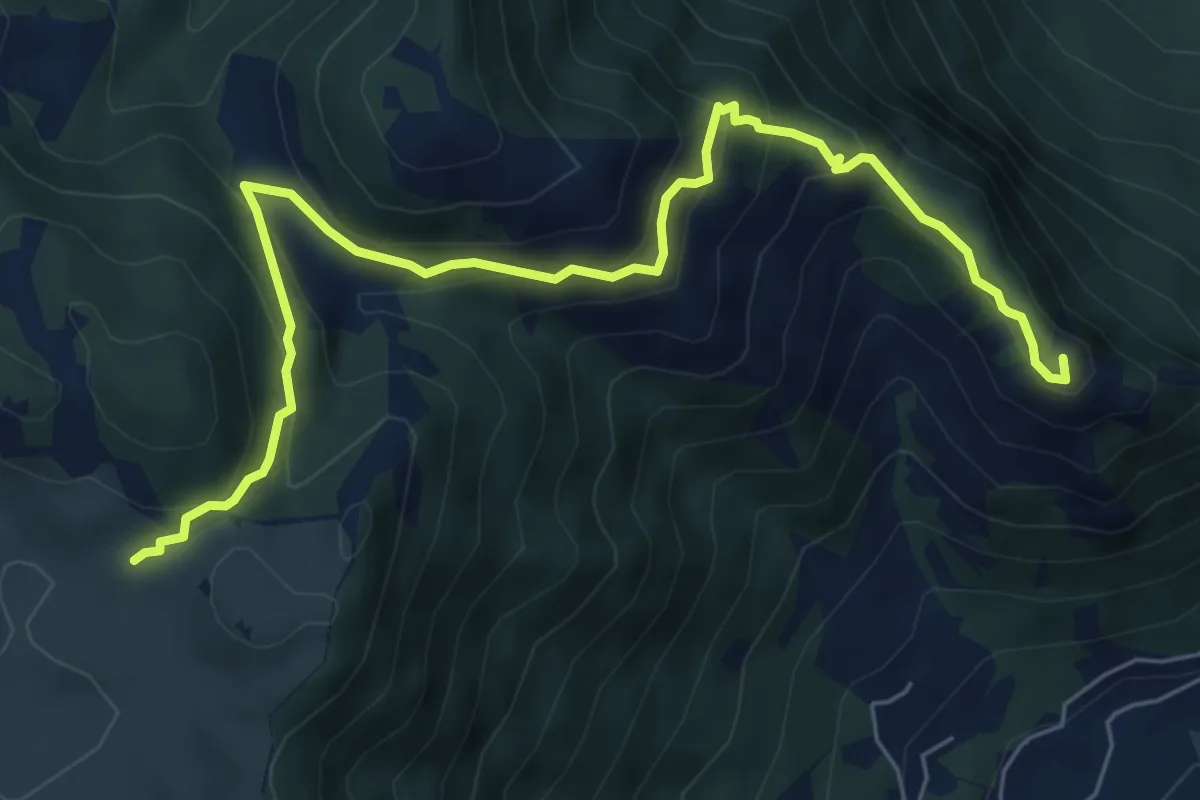
Medium · Summit
Colletto Piccolo - Busa Novegno
7.6 km · ↑ 508 m · 2 h 53 min · 14 km away
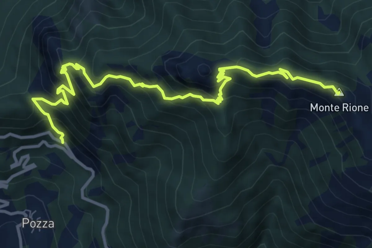
Demanding · Summit
Colletto di Posina - Monte Rione
9.3 km · ↑ 912 m · 4 h 10 min · 14 km away
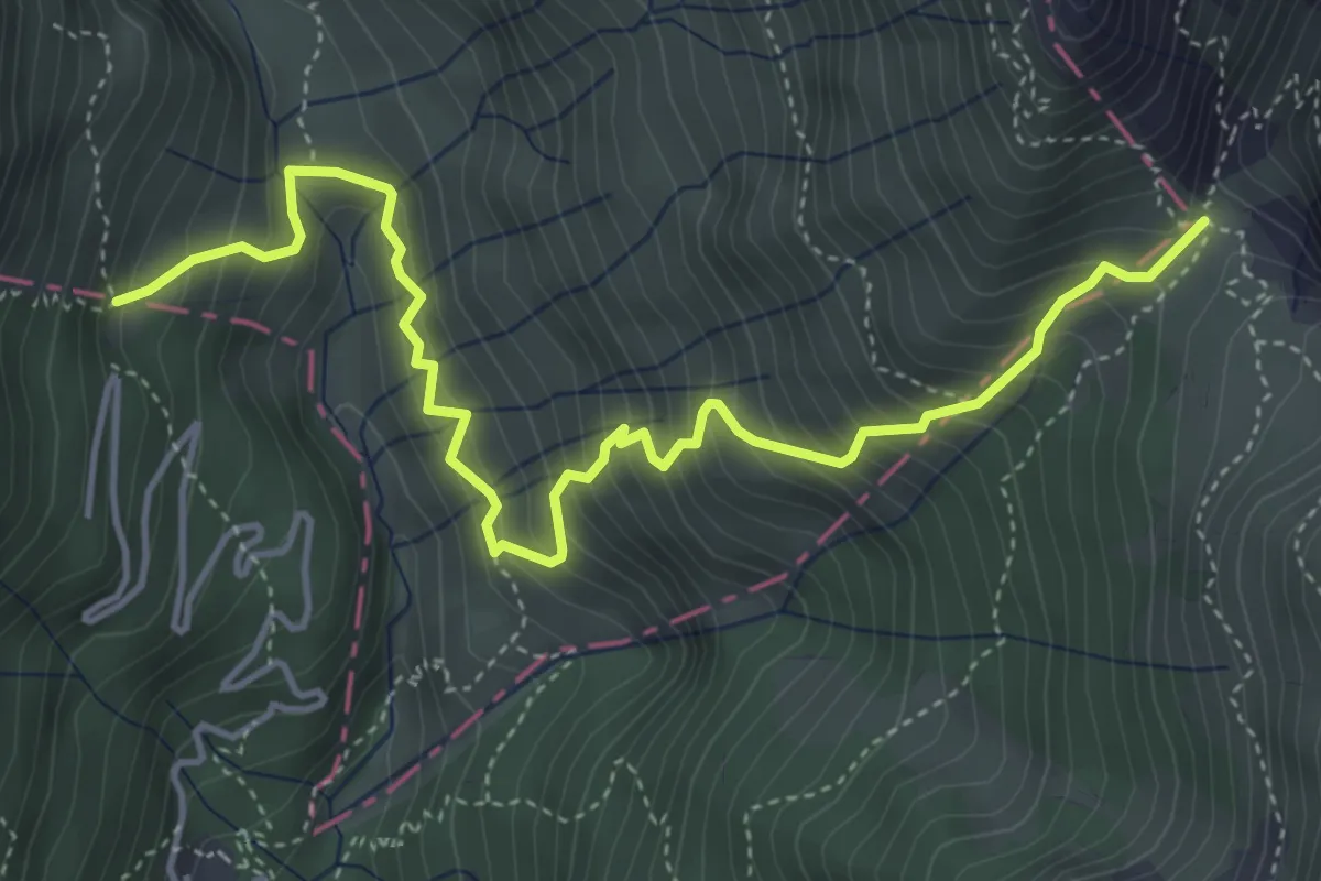
Medium · Cabin
Rifugio Revolto - Passo Tre Croci
5.3 km · ↑ 687 m · 2 h 45 min · 14 km away
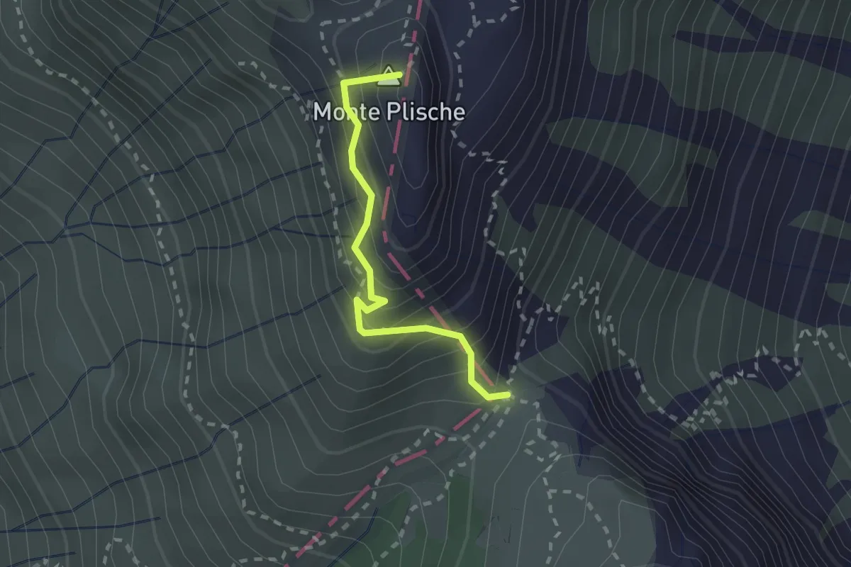
Demanding · Summit
Mulattiera del Plische
2.0 km · ↑ 245 m · 1 h · 14 km away
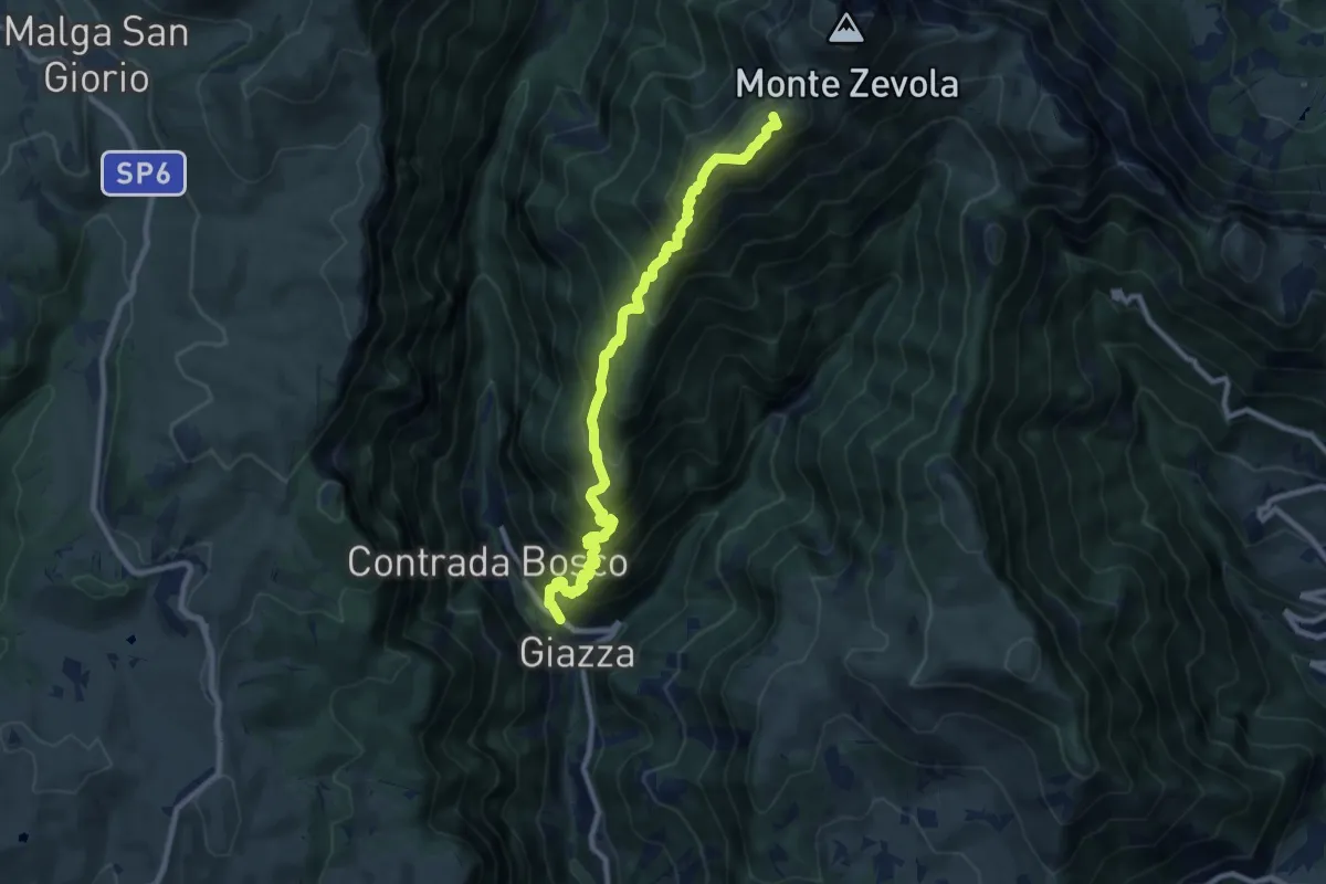
Demanding · Summit
Giazza - Colonia estiva – nei pressi passo Zevola - inn. sent. 202
9.2 km · ↑ 1085 m · 4 h 31 min · 14 km away
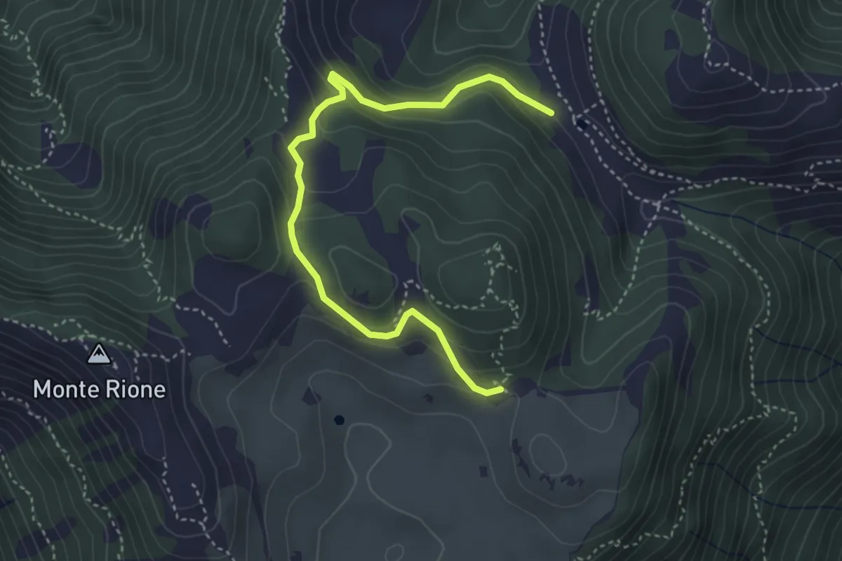
Easy · Trail
Variante Cima Alta
4.2 km · ↑ 238 m · 1 h 31 min · 14 km away
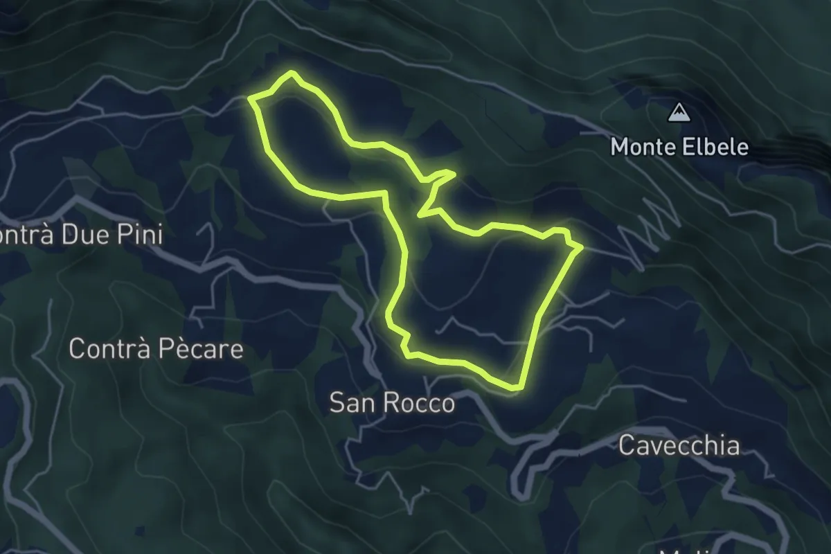
Easy · Trail
Prati di S. Rocco
4.2 km · ↑ 144 m · 1 h 22 min · 14 km away
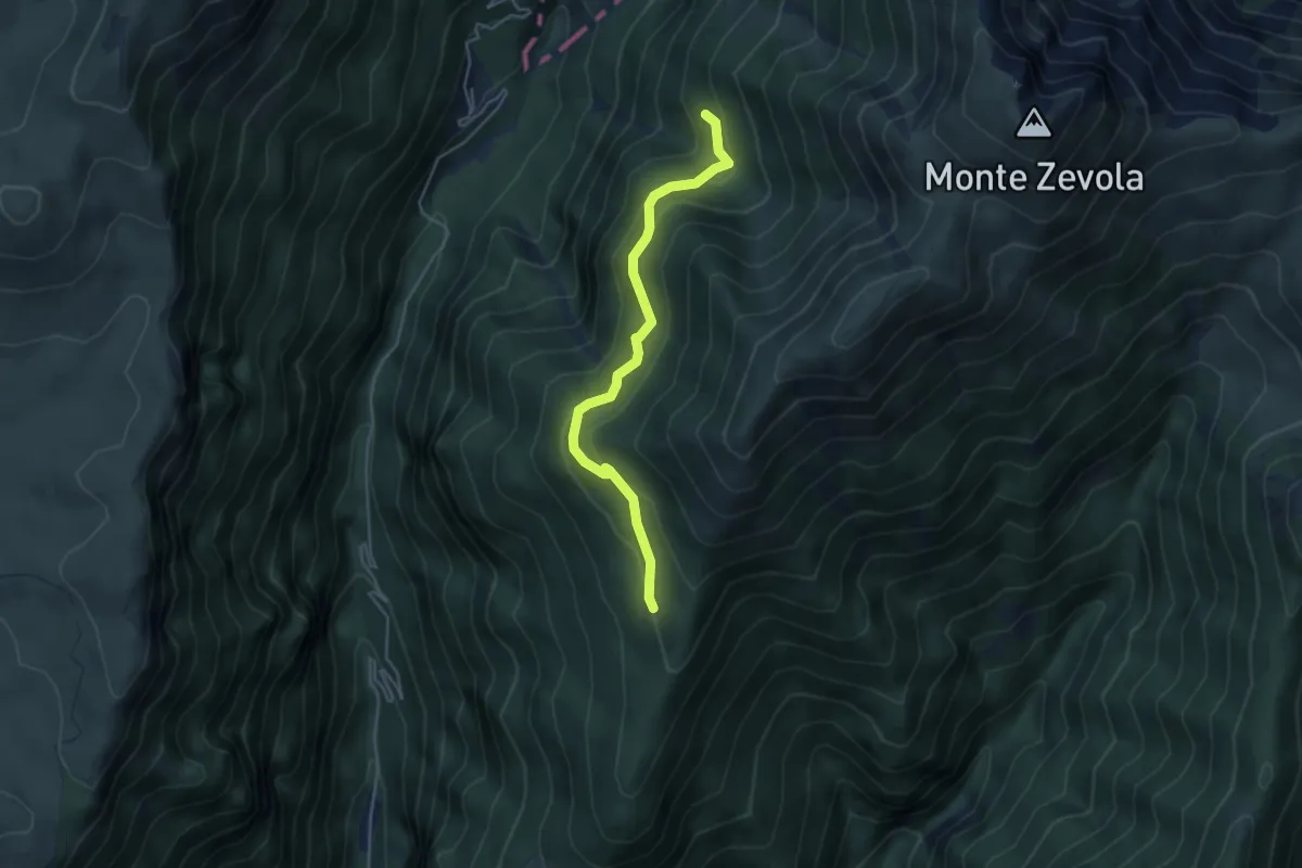
Medium · Cabin
Sentiero del Vinter
4.3 km · ↑ 284 m · 1 h 37 min · 14 km away
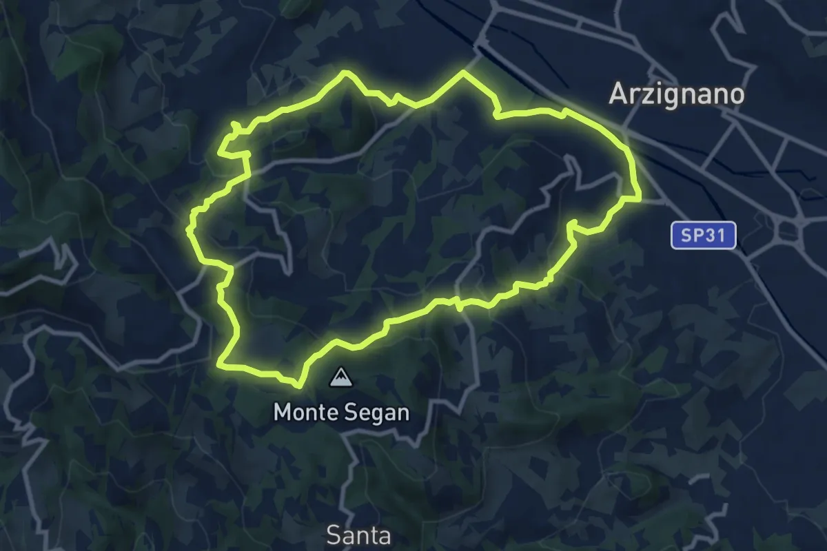
Medium · Trail
Sentiero Blu
9.8 km · ↑ 421 m · 3 h 22 min · 14 km away
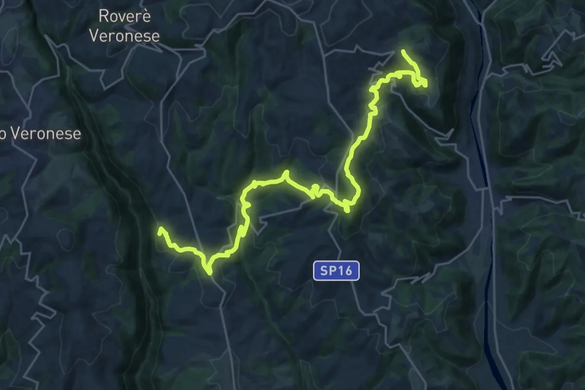
Medium · Summit
Cammino Tre Santuari della Lessina
12.6 km · ↑ 446 m · 4 h 15 min · 15 km away
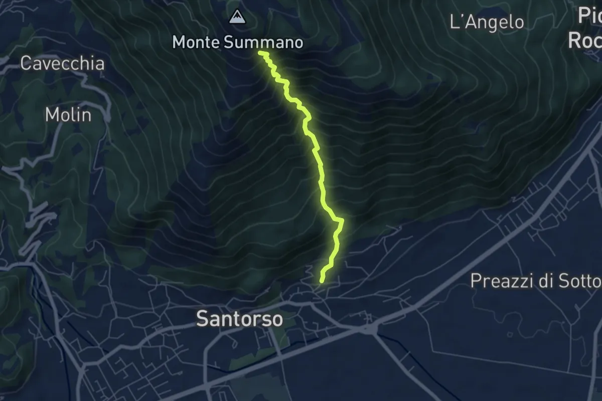
Demanding · Trail
Lesina (Santorso) – sotto Monte Summano (innesto sentiero 457)
4.9 km · ↑ 886 m · 3 h 4 min · 15 km away
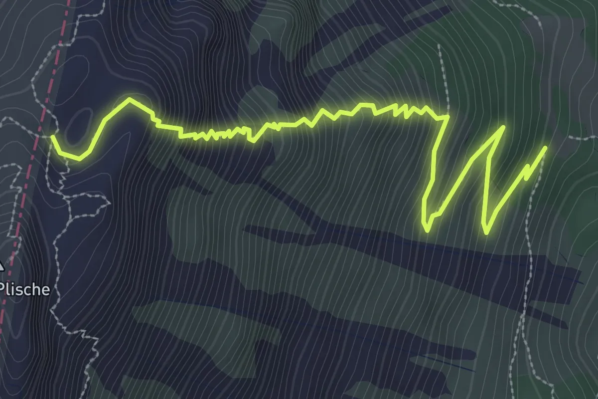
Demanding · Trail
Omo e Dona
4.4 km · ↑ 628 m · 2 h 24 min · 15 km away
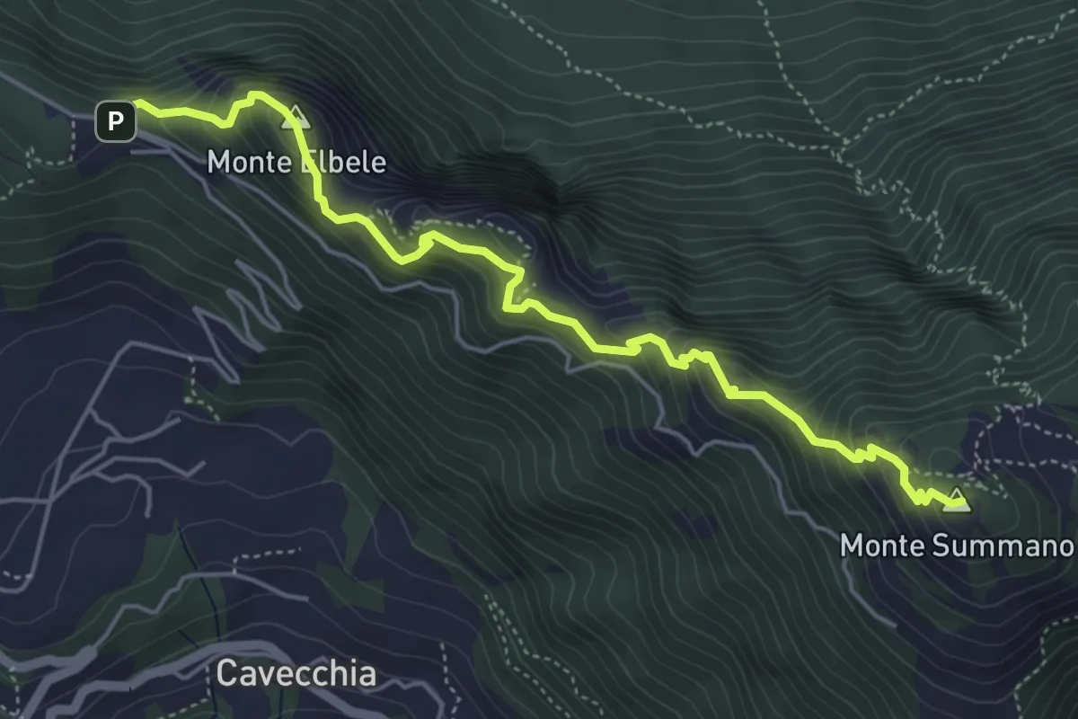
Demanding · Summit
Creste del Summano
5.5 km · ↑ 507 m · 2 h 24 min · 15 km away