Trails near Varallo
317 hikes starting within 15 km, nearest first.
Nearest first, page 6 of 7
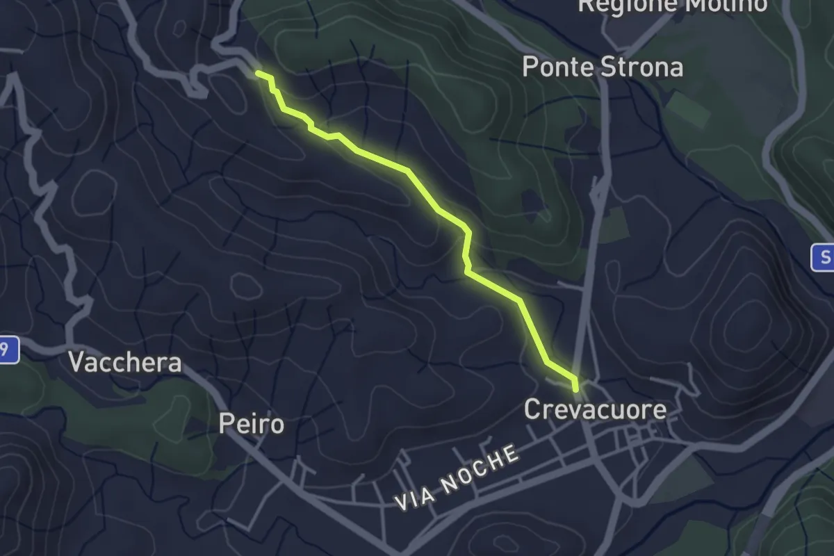
Easy · Trail
La Fornace – Cascina La Gio
2.8 km · ↑ 110 m · 54 min · 13 km away
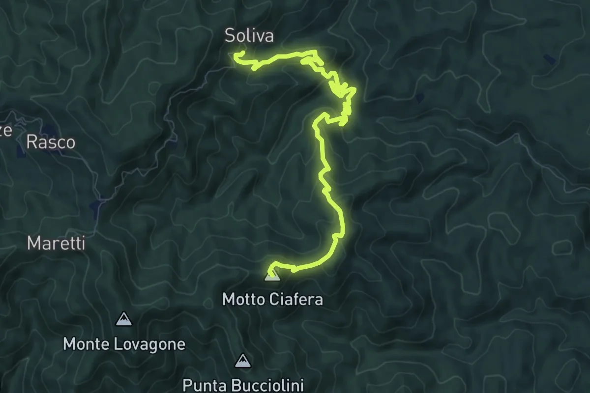
Medium · Summit
Bivio 795A-798, Soliva – Bivio 765-798, Castagnola
10.1 km · ↑ 602 m · 3 h 42 min · 13 km away
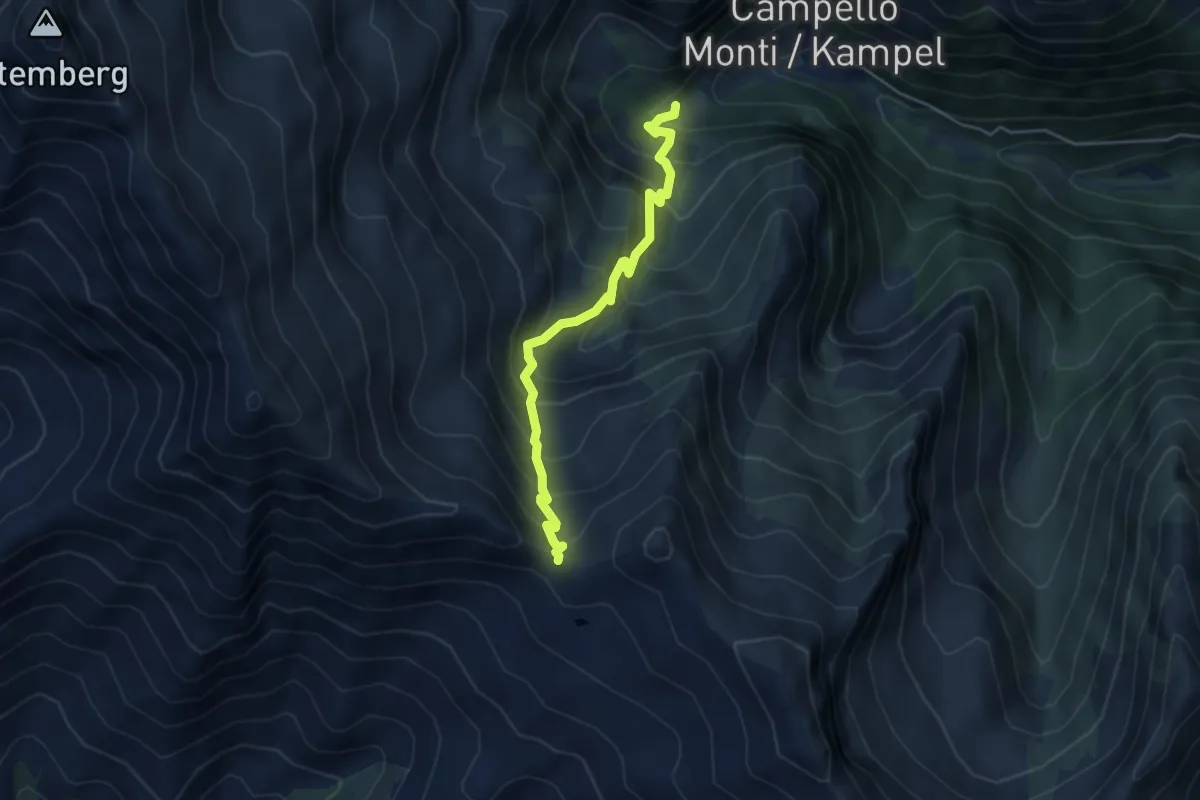
Medium · Trail
Bivio Z00-Z98 Campello Monti – Bocchetta di Rimella
4.5 km · ↑ 516 m · 2 h 11 min · 13 km away
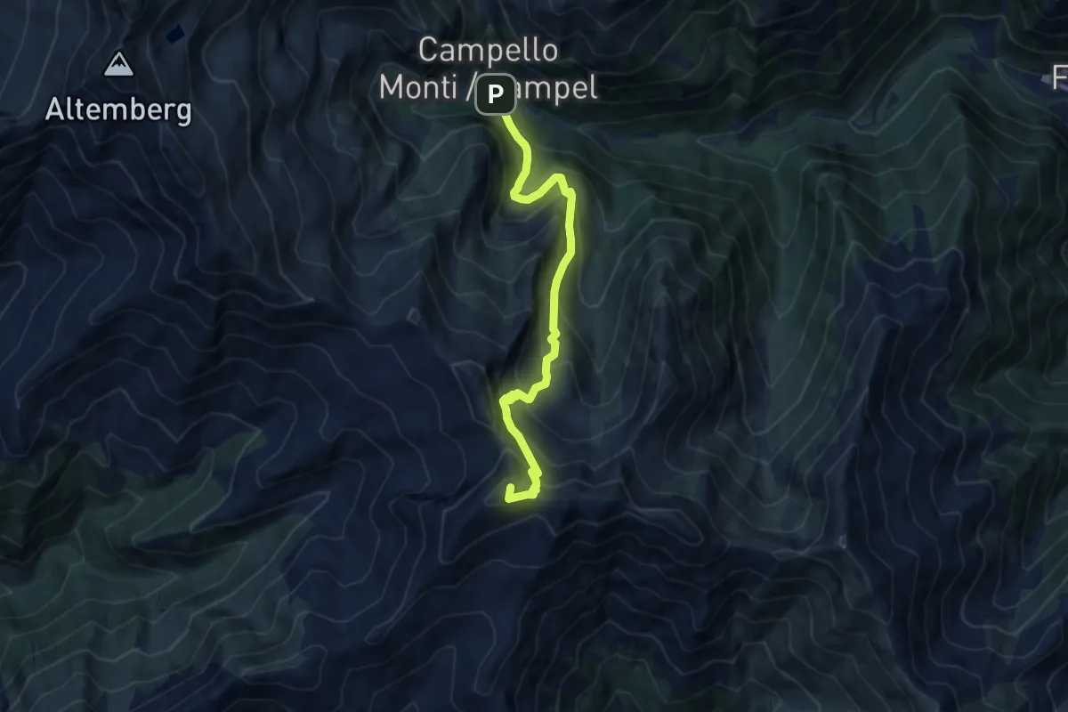
Expert · Summit
Z15 - Campello Monti - Monte Capio
8.4 km · ↑ 896 m · 3 h 56 min · 13 km away
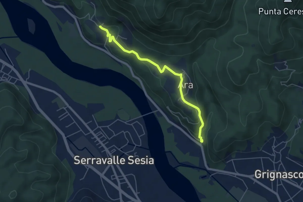
Easy · Trail
Grignasco, Molino Jannetti, bivio VCA781-VCA780 – Borgosesia, frazione Fenera di Mezzo, bivio VCA781-VCA770
4.8 km · ↑ 196 m · 1 h 34 min · 13 km away
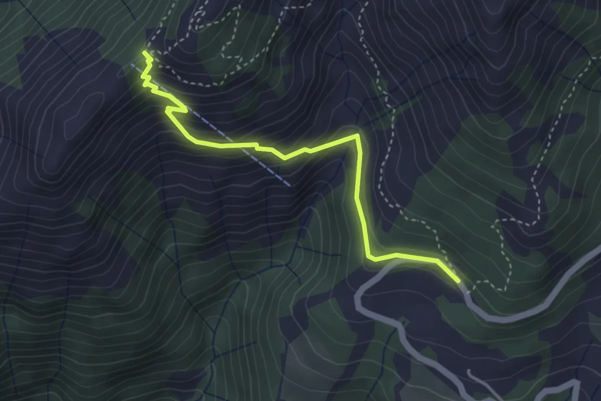
Medium · Trail
Bivio BIAG01-BIAG010A-BIAG04, Chiesetta delle Piane – Cappella Foscale
3.6 km · ↑ 305 m · 1 h 31 min · 13 km away
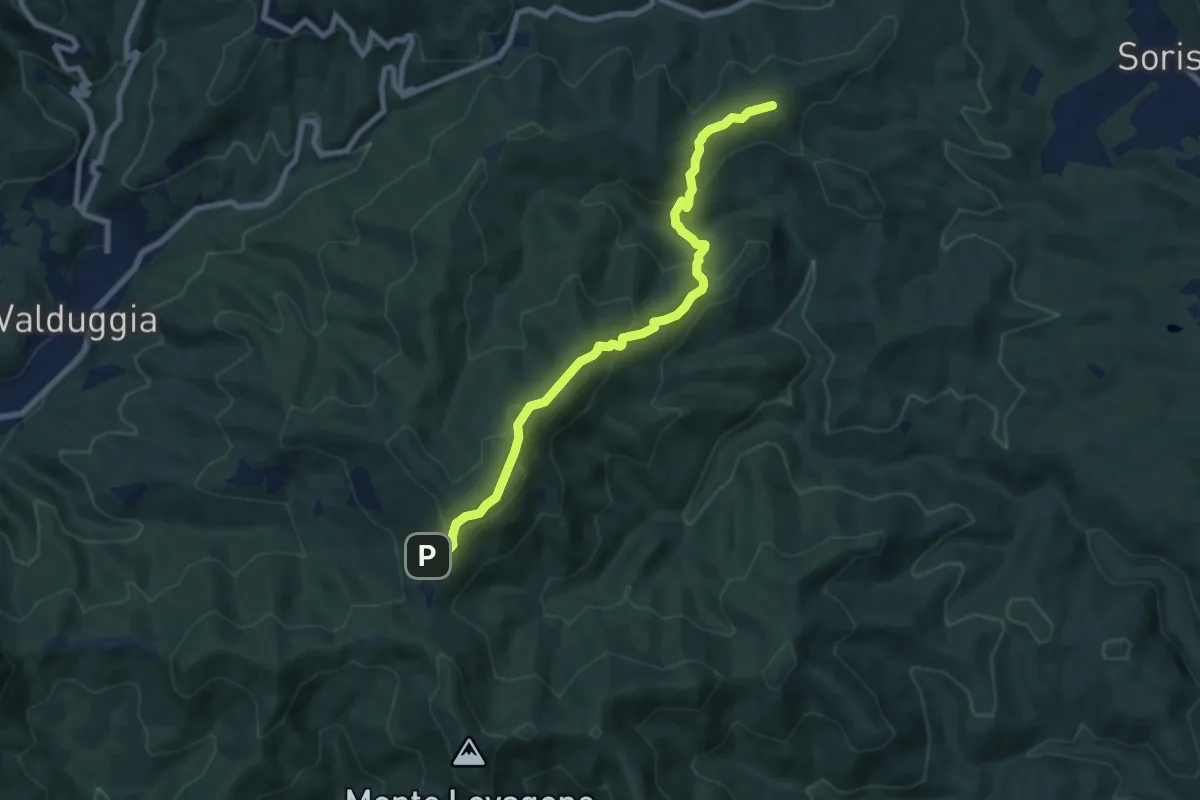
Medium · Summit
Valduggia, Cappella del Crocefisso – Valduggia, località Castagnola, bivio VCA765-VCA795
8.0 km · ↑ 541 m · 3 h 4 min · 13 km away
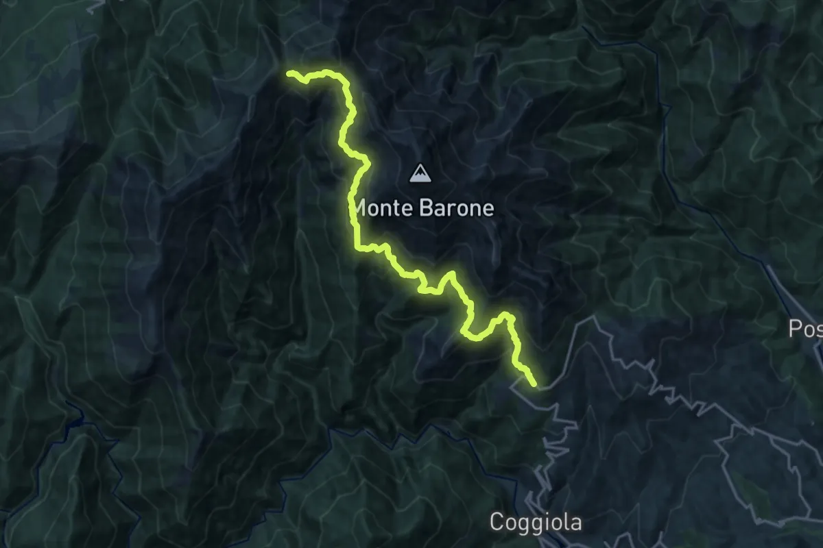
Demanding · Trail
Bivio BIAG01-BIAG04, Piane di Rivò – Alpe Valfinale
18.6 km · ↑ 1485 m · 7 h 37 min · 13 km away
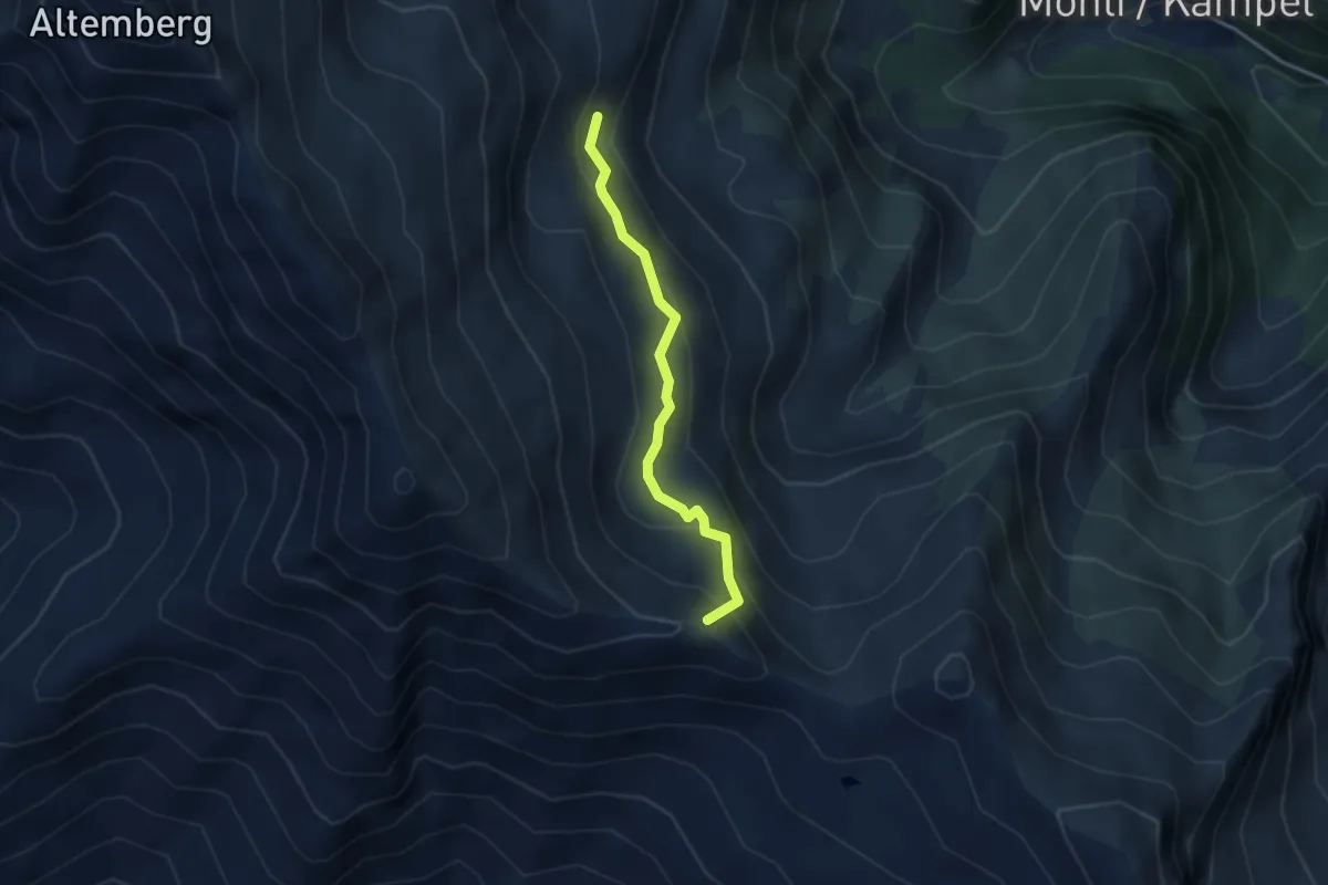
Demanding · Summit
Z17a Alpe Capezzone - Bocchetta di Campello
3.0 km · ↑ 204 m · 1 h 9 min · 13 km away
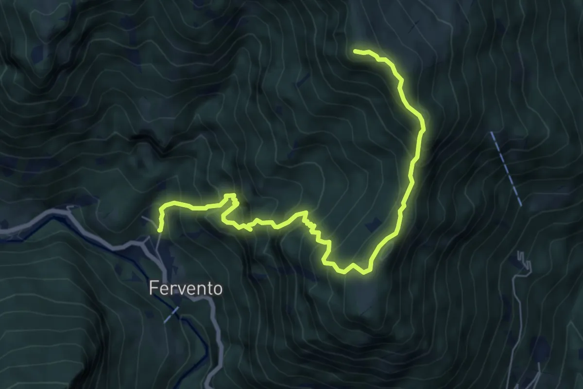
Demanding · Summit
Boccioleto, frazione Fervento, bivio VCA383-VCA382 – Cima Massero
7.3 km · ↑ 912 m · 3 h 43 min · 14 km away
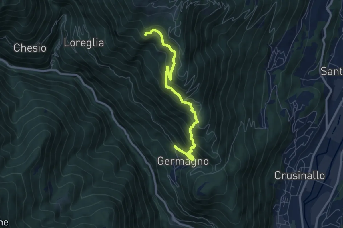
Medium · Trail
Germagno bivio Z00 – Bivio Z02 presso Alpe Ceresa
6.3 km · ↑ 613 m · 2 h 48 min · 14 km away
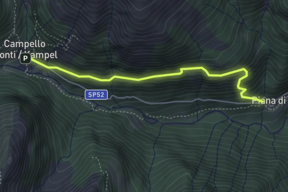
Medium · Trail
Z00b - Piana di Forno - Campello Monti
4.1 km · ↑ 366 m · 1 h 46 min · 14 km away
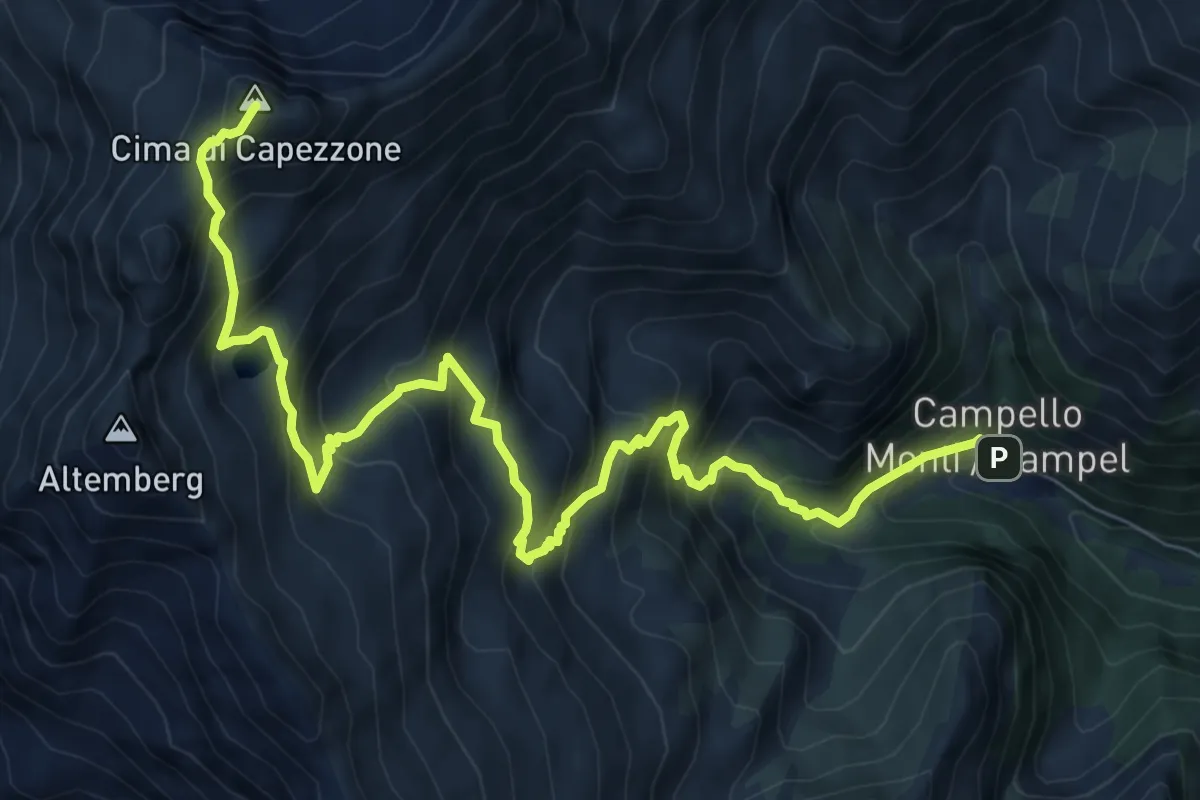
Demanding · Summit
Z17 - Campello Monti - Cima di Capezzone
10.1 km · ↑ 1078 m · 4 h 43 min · 14 km away
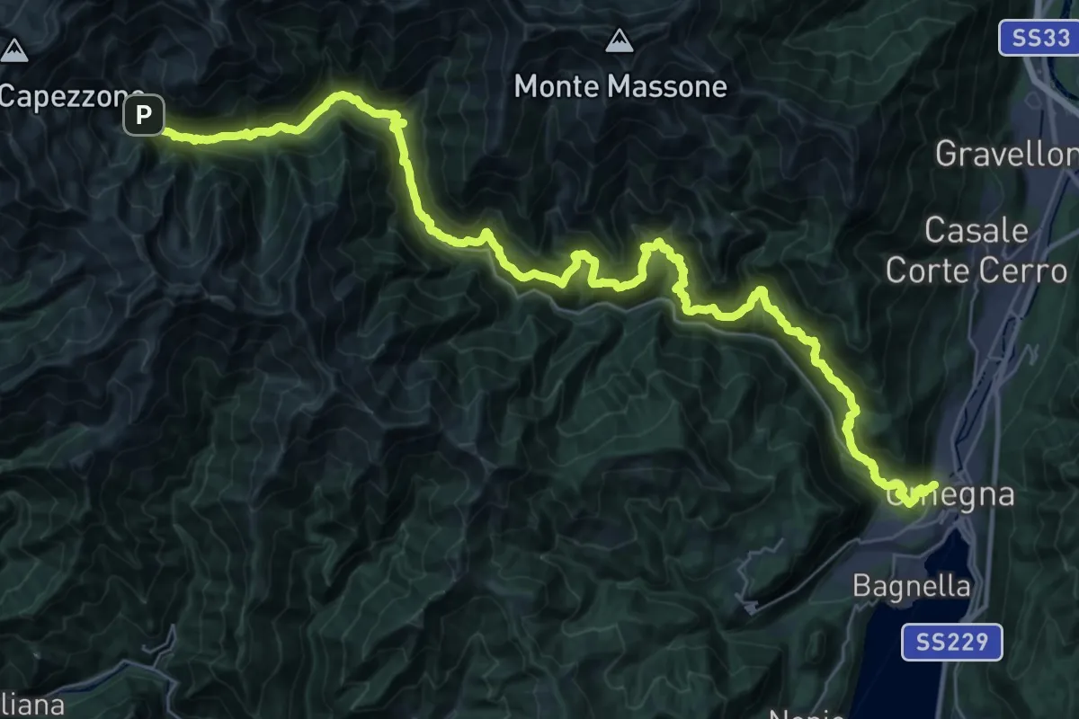
Demanding · Trail
Z00 - Strà Vegia
22.8 km · ↑ 953 m · 8 h 17 min · 14 km away
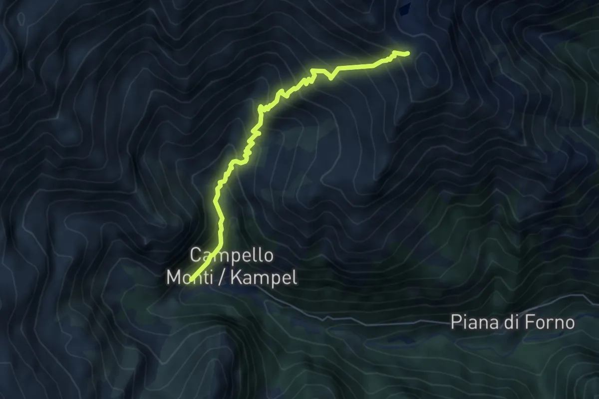
Medium · Trail
Z99 - Campello Monti - Colle dell'Usciolo
5.7 km · ↑ 688 m · 2 h 50 min · 14 km away
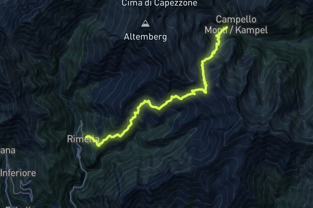
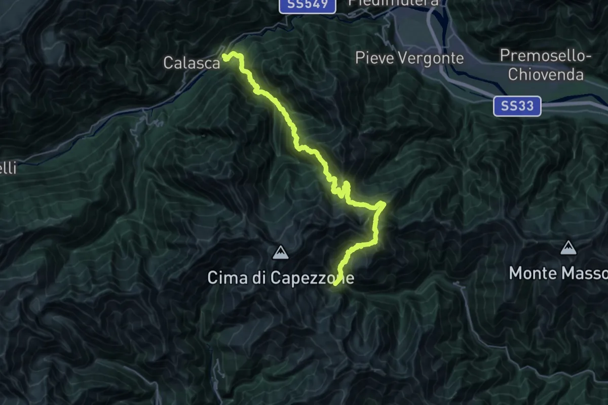
Demanding · Trail
Rimella – Campello Monti
15.5 km · ↑ 1661 m · 7 h 16 min · 14 km away
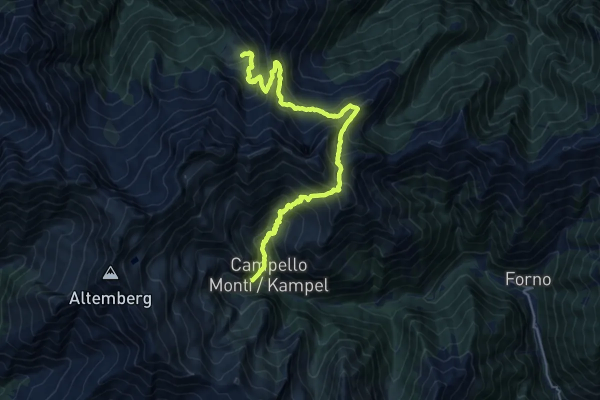
Demanding · Trail
Via Alpina Blue D11
15.9 km · ↑ 1198 m · 7 h 1 min · 14 km away
Demanding · Cabin
GTA: Alpe del Lago - Campello Monti
16.3 km · ↑ 1570 m · 7 h 16 min · 14 km away
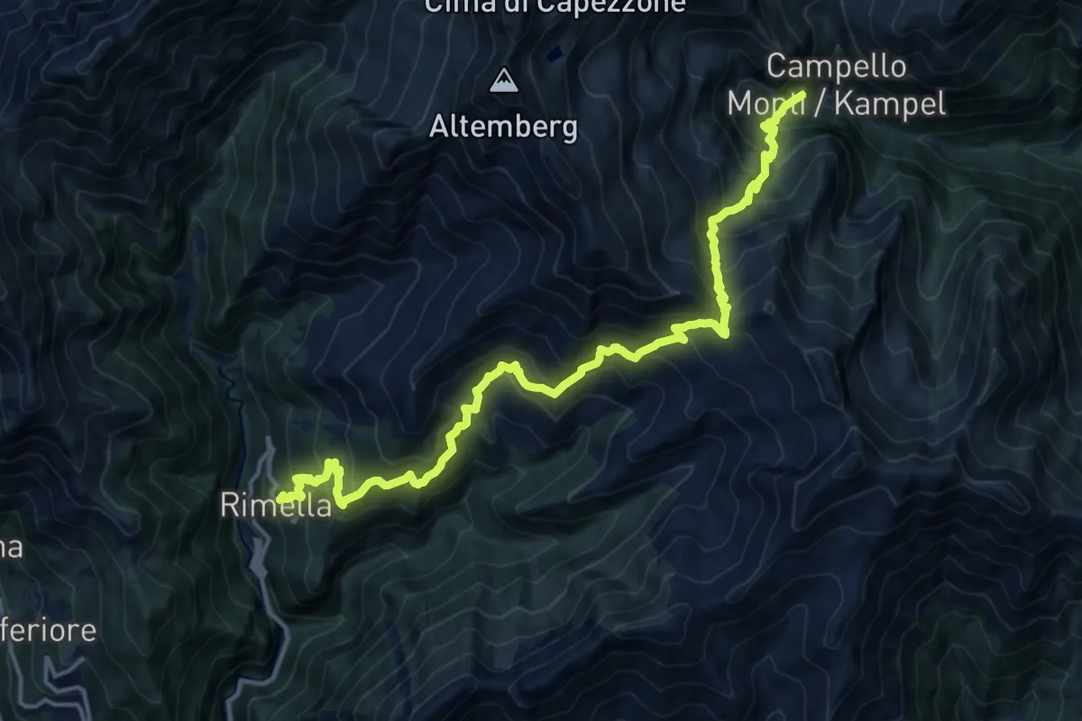
Demanding · Trail
GTA: Campello Monti - Rimella
16.8 km · ↑ 1721 m · 7 h 42 min · 14 km away
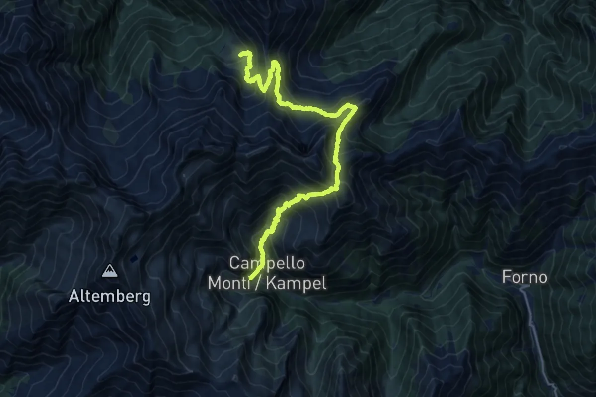
Demanding · Cabin
Campello Monti – Alpe Lago
16.3 km · ↑ 1570 m · 7 h 16 min · 14 km away
Medium · Cabin
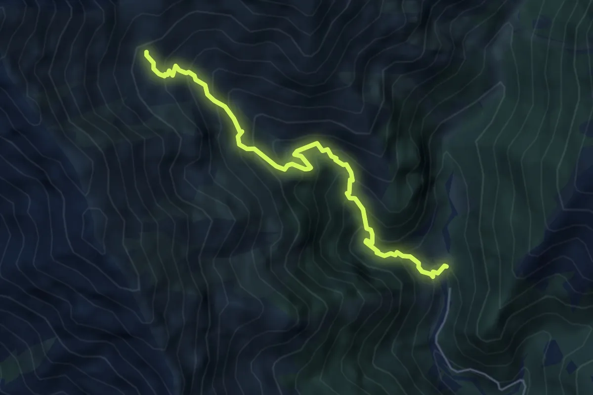
Rimella, Fraz. Riva' - Sant'Antonio, bivio VCA539-VCA544 – Presso Colle Dorchetta, Alpe del Rio, bivio VCA539-VCA525
5.2 km · ↑ 633 m · 2 h 36 min · 14 km away
Expert · Trail
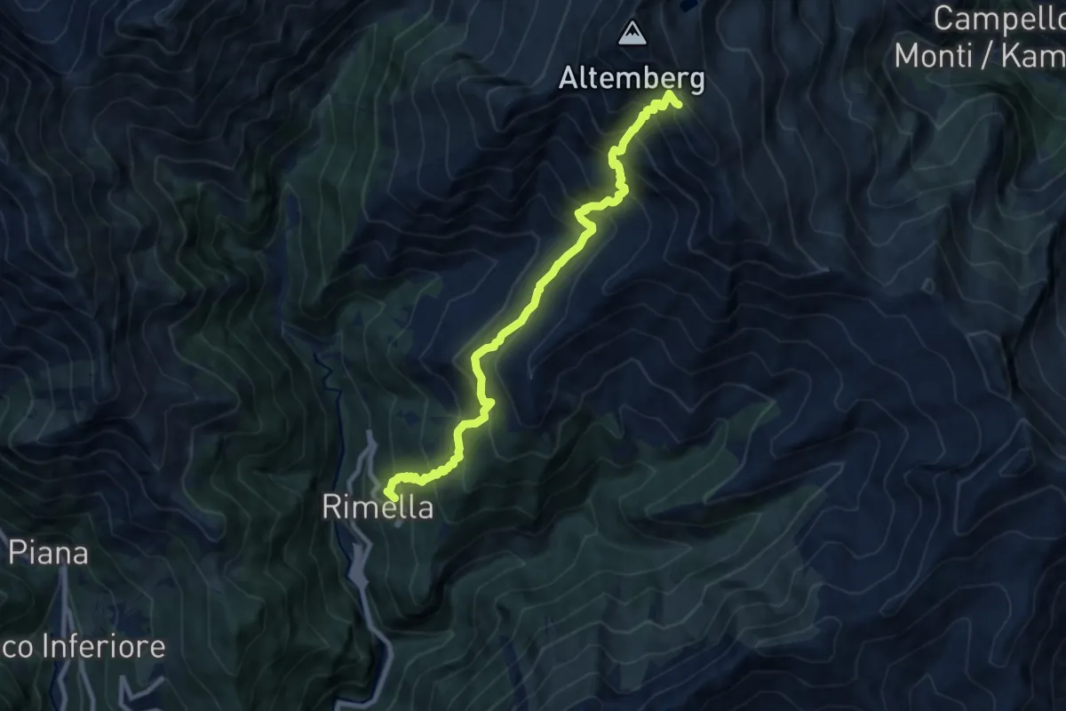
Rimella, bivio VCA547-VCA548 – Bocchetta delle Vacche
9.2 km · ↑ 1156 m · 4 h 41 min · 14 km away
Expert · Summit
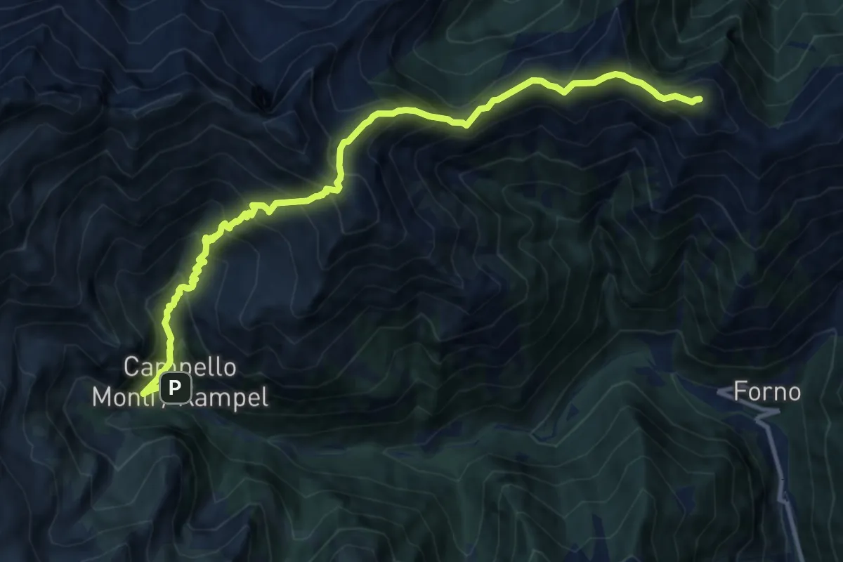
Grata Gamul Trekking -Tappa 5
12.7 km · ↑ 1404 m · 6 h 2 min · 14 km away
Demanding · Summit
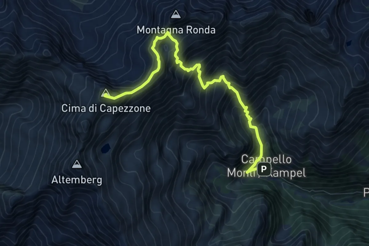
Grata Gamul Trekking - Tappa 4
10.1 km · ↑ 1232 m · 5 h 3 min · 14 km away
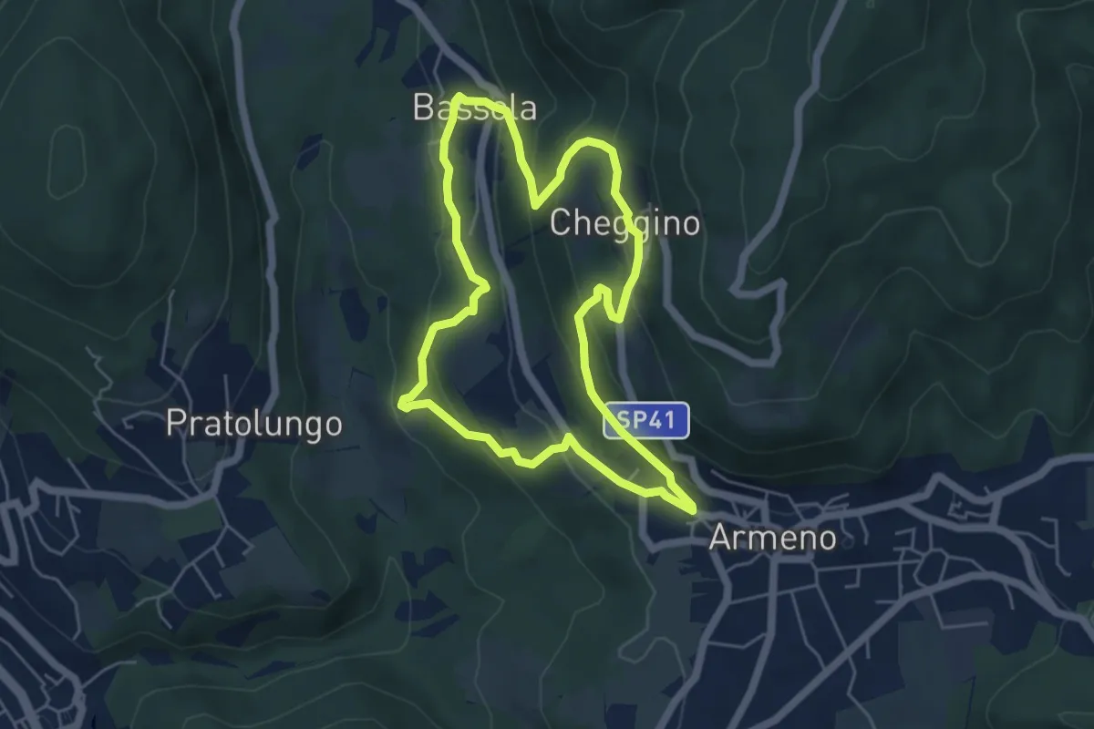
Easy · Trail
Armeno, anello Frazioni
4.8 km · ↑ 286 m · 1 h 50 min · 14 km away
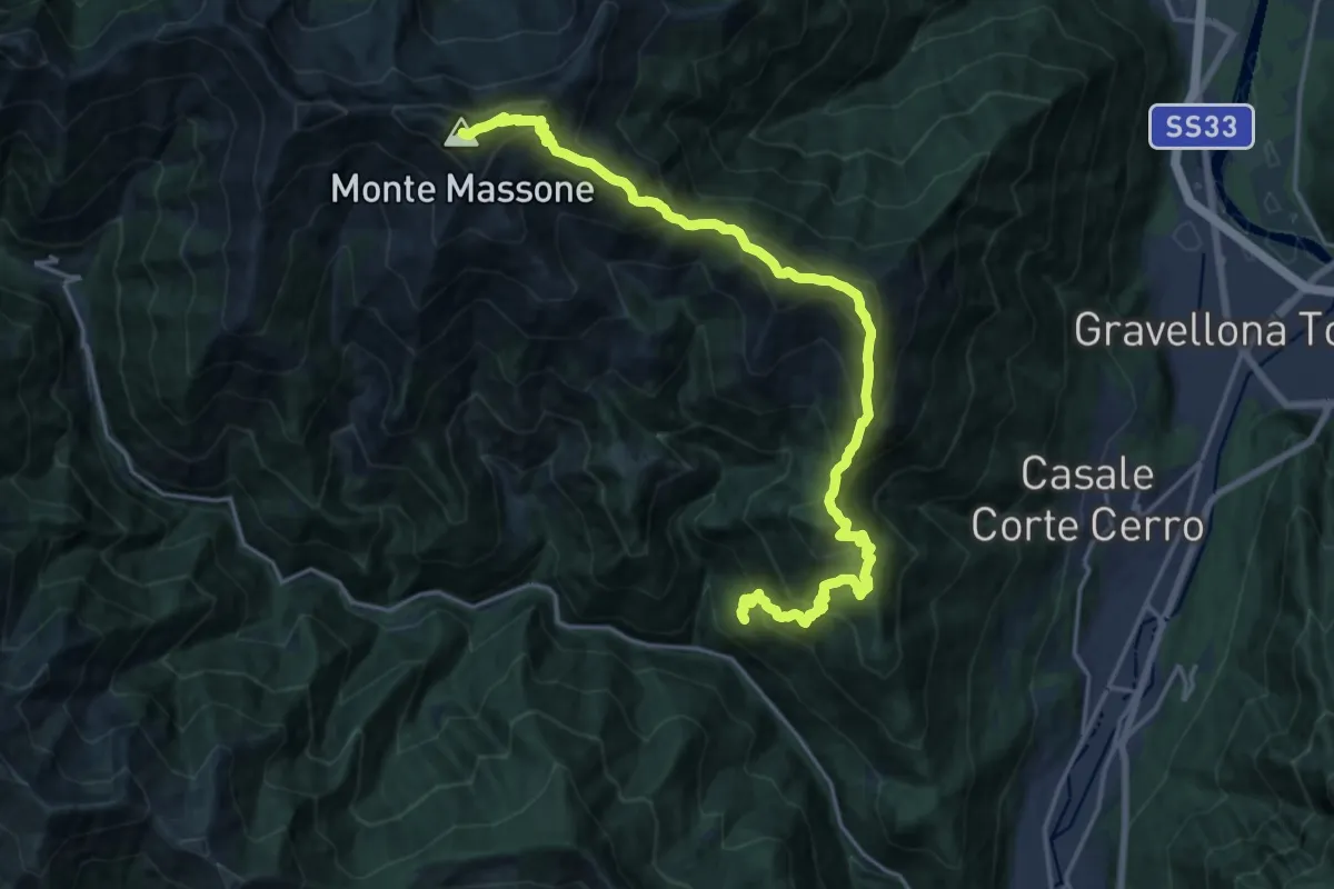
Demanding · Summit
Z02 - Loreglia - Monte Massone
21.3 km · ↑ 1970 m · 9 h 17 min · 14 km away
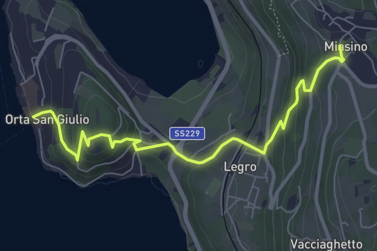
Easy · Trail
Orta Scalo, bivio NOATU1-NOATU1A – Miasino, bivio NOAVU9-NOATU1, NOAVU1
6.3 km · ↑ 314 m · 2 h 11 min · 14 km away
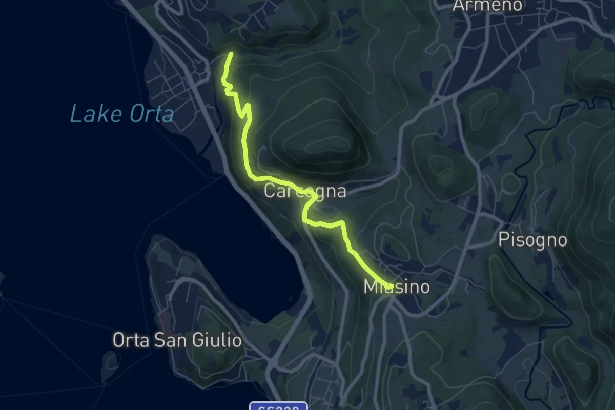
Easy · Trail
VU9 - Pettenasco - Miasino
6.3 km · ↑ 274 m · 2 h 5 min · 14 km away
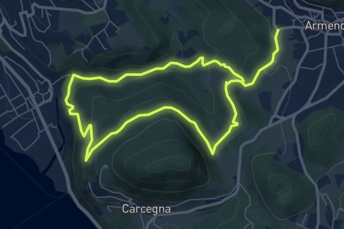
Easy · Trail
Armeno, anello Rusa
5.5 km · ↑ 267 m · 1 h 57 min · 14 km away
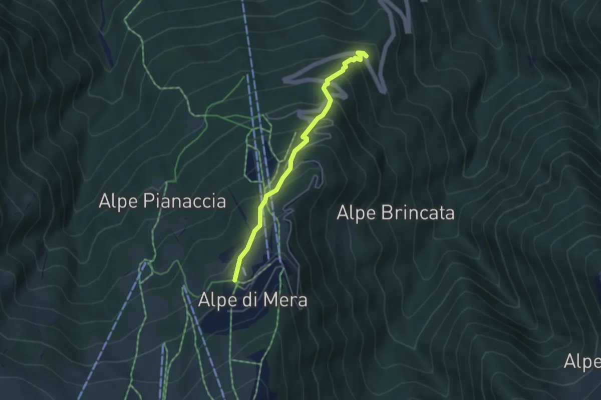
Medium · Cabin
Alpe Colletto, bivio VCA233-VCA233A – Oratorio Madonna di Mera, bivio VCA233A-VCA236
3.7 km · ↑ 350 m · 1 h 37 min · 14 km away
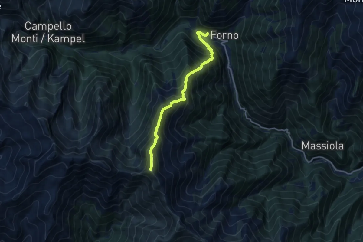
Expert · Summit
Z11 - Forno - Monte Forcolaccia
9.2 km · ↑ 1184 m · 4 h 45 min · 14 km away
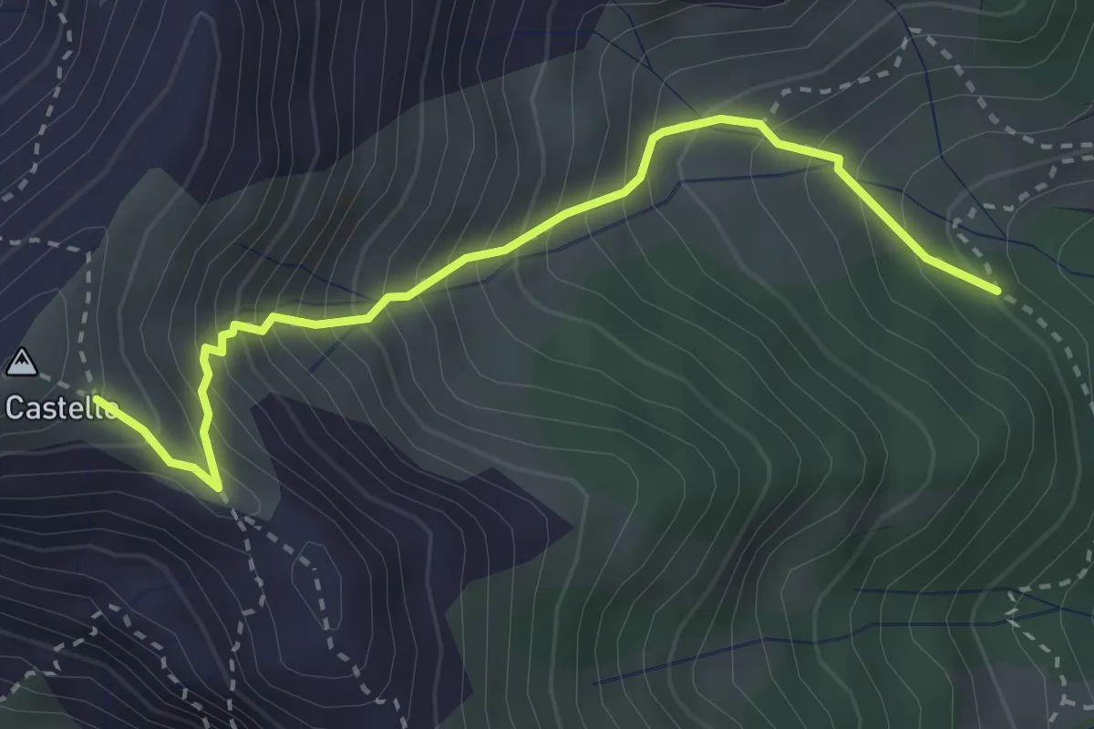
Demanding · Trail
Alpe Ruspo – Boccioleto, Colma Drosei, bivio VCA367-VCA391
3.2 km · ↑ 535 m · 1 h 54 min · 14 km away
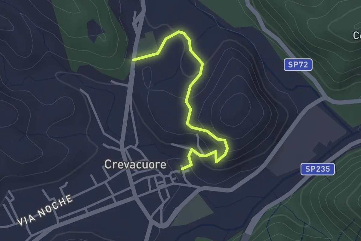
Easy · Trail
Crevacuore – Chiesa della Serra
2.6 km · ↑ 176 m · 1 h · 14 km away
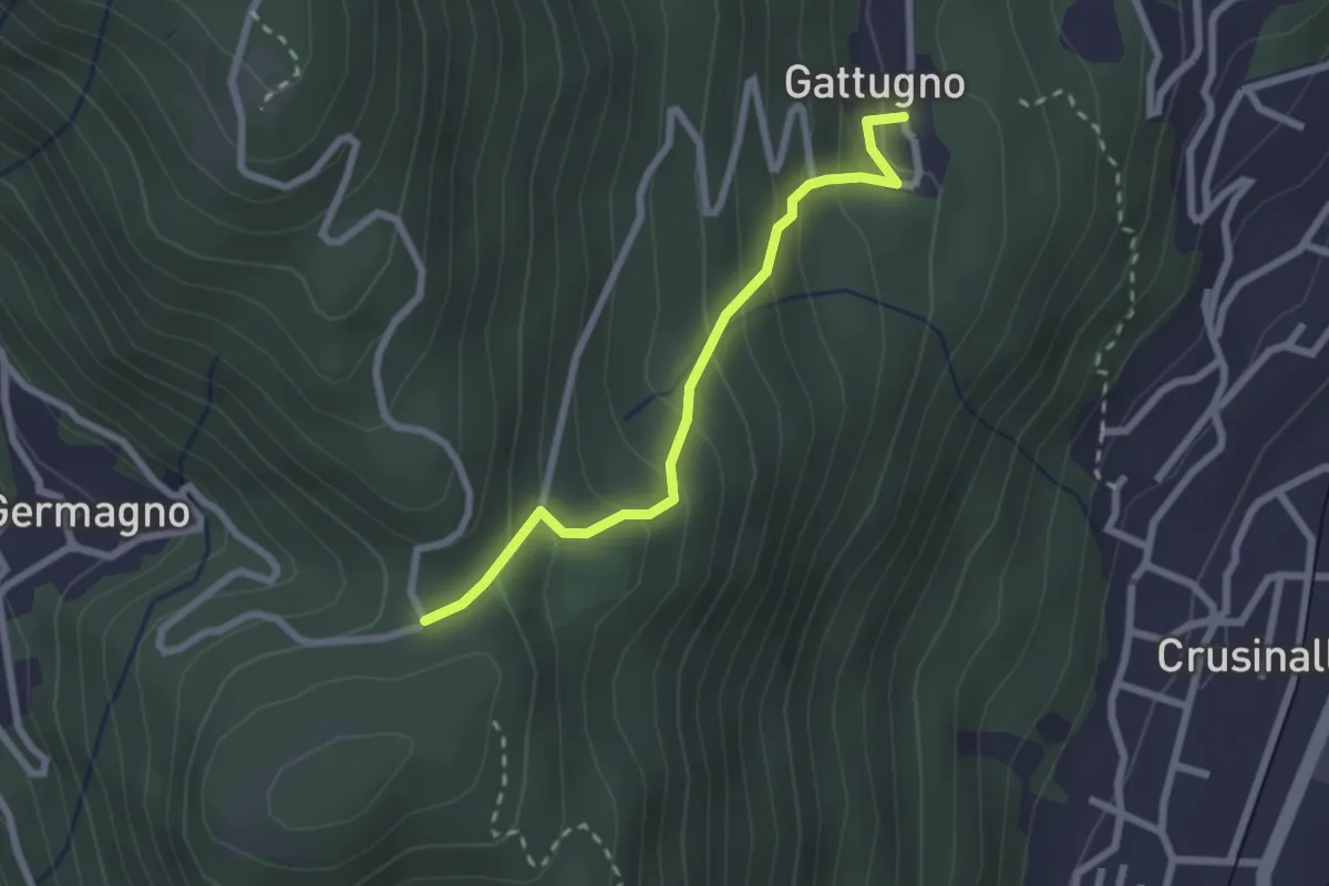
Medium · Trail
T18a - Gattugno - Alpe Colla
2.3 km · ↑ 205 m · 59 min · 14 km away
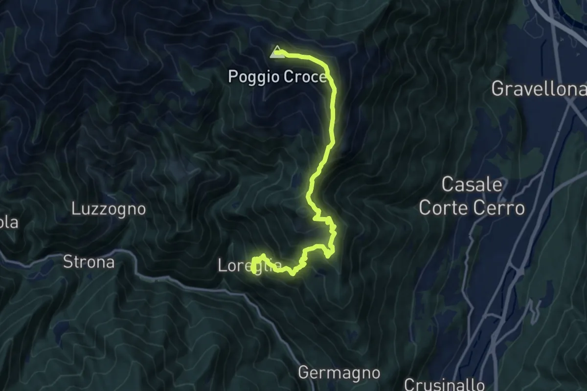
Demanding · Summit
Grata Gamul Trekking - Tappa 1
13.5 km · ↑ 1255 m · 5 h 55 min · 14 km away
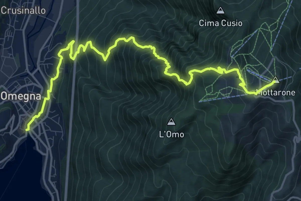
Demanding · Summit
VP1 - Omegna - Mottarone
13.5 km · ↑ 1237 m · 5 h 52 min · 14 km away
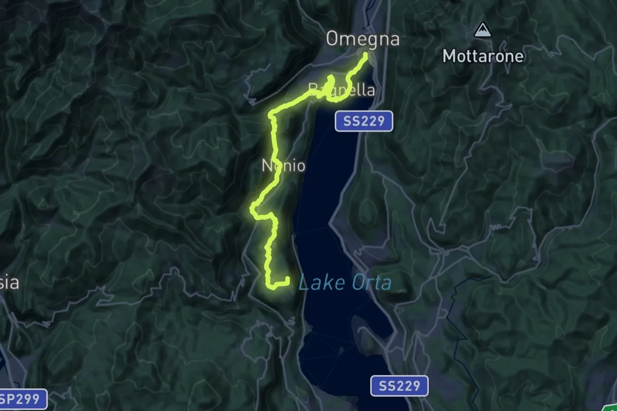
Demanding · Summit
Grand Tour del Lago d'Orta - Tappa 4
26.3 km · ↑ 891 m · 8 h 9 min · 14 km away
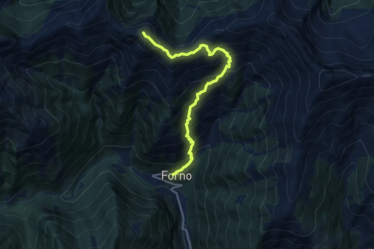
Demanding · Summit
Z10 - Forno - Mazza dell'Inferno
8.3 km · ↑ 1011 m · 4 h 9 min · 14 km away
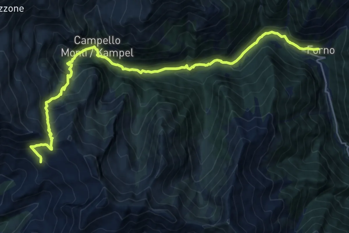
Demanding · Cabin
Grata Gamul Trekking - Tappa 3
17.4 km · ↑ 1244 m · 6 h 48 min · 14 km away
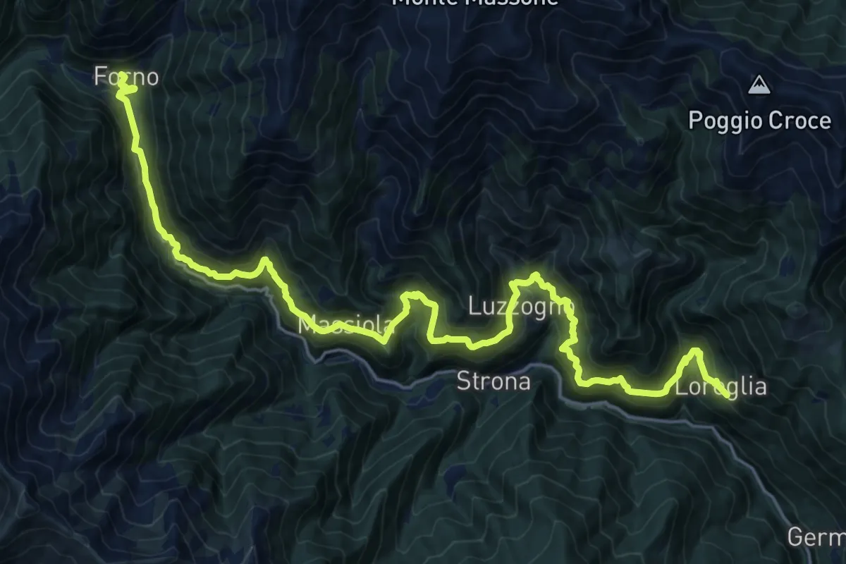
Medium · Trail
Grata Gamul Trekking -Tappa 6
12.4 km · ↑ 715 m · 4 h 46 min · 14 km away
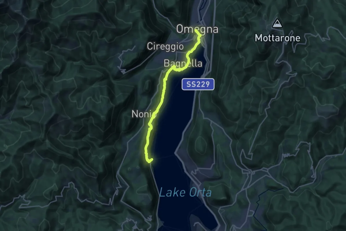
Medium · Trail
T05 - Omegna - Ronco Inferiore
16.5 km · ↑ 776 m · 5 h 34 min · 14 km away
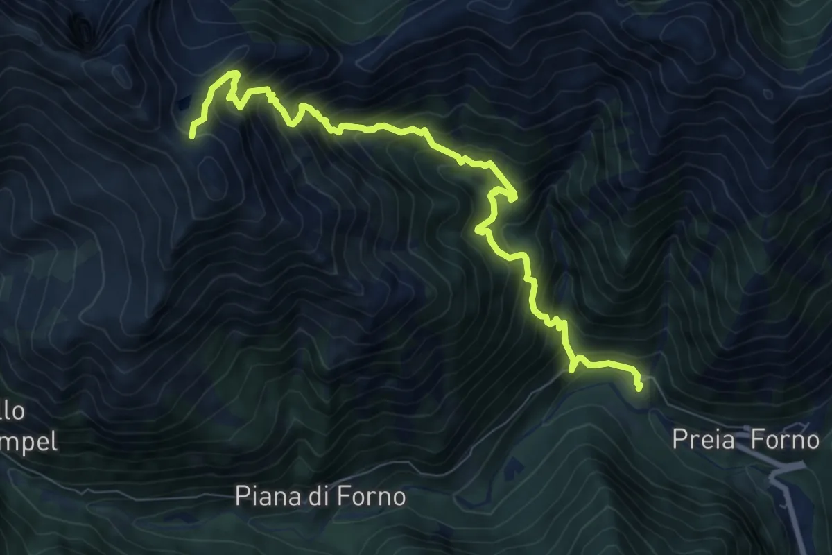
Demanding · Trail
Z12 - Forno - Colle dell'Usciolo
9.2 km · ↑ 1251 m · 4 h 54 min · 14 km away
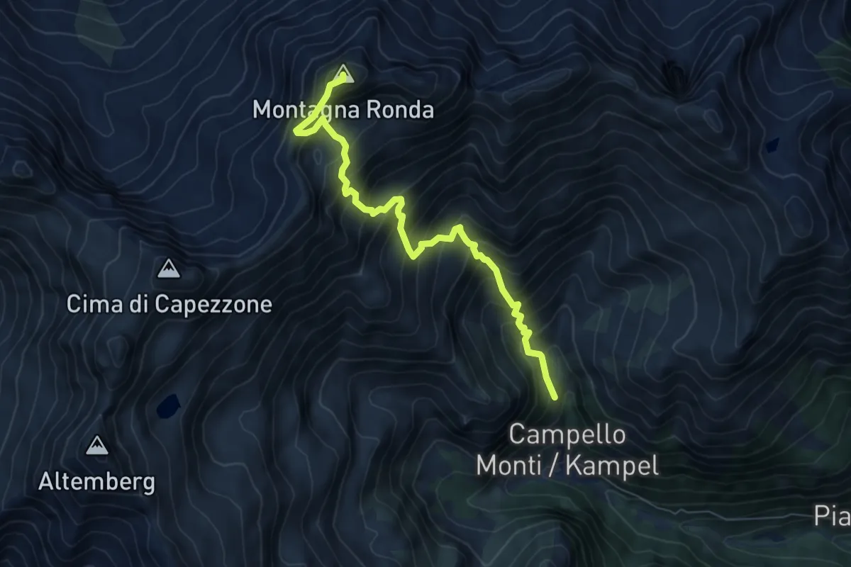
Demanding · Summit
Z14 - Campello Monti - Montagna Ronda
6.8 km · ↑ 973 m · 3 h 43 min · 14 km away
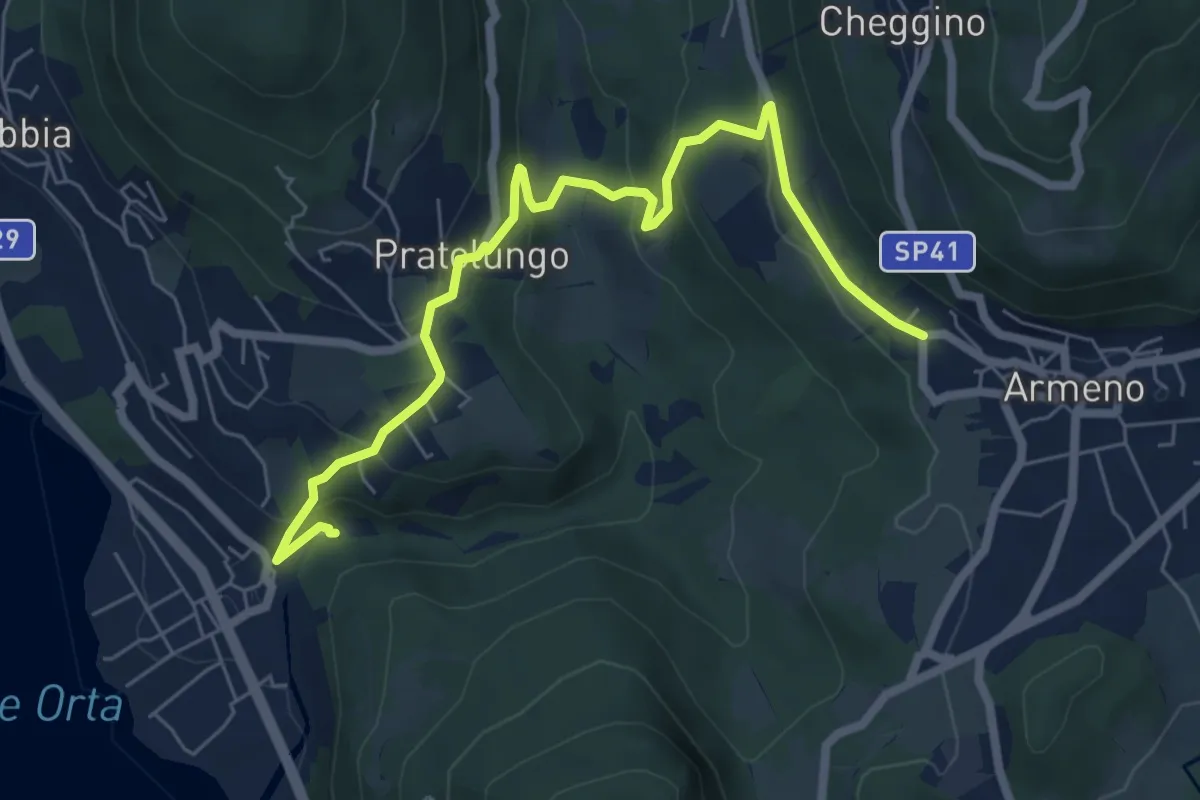
Medium · Trail
VP9 - Pettenasco - Armeno
7.4 km · ↑ 395 m · 2 h 36 min · 14 km away
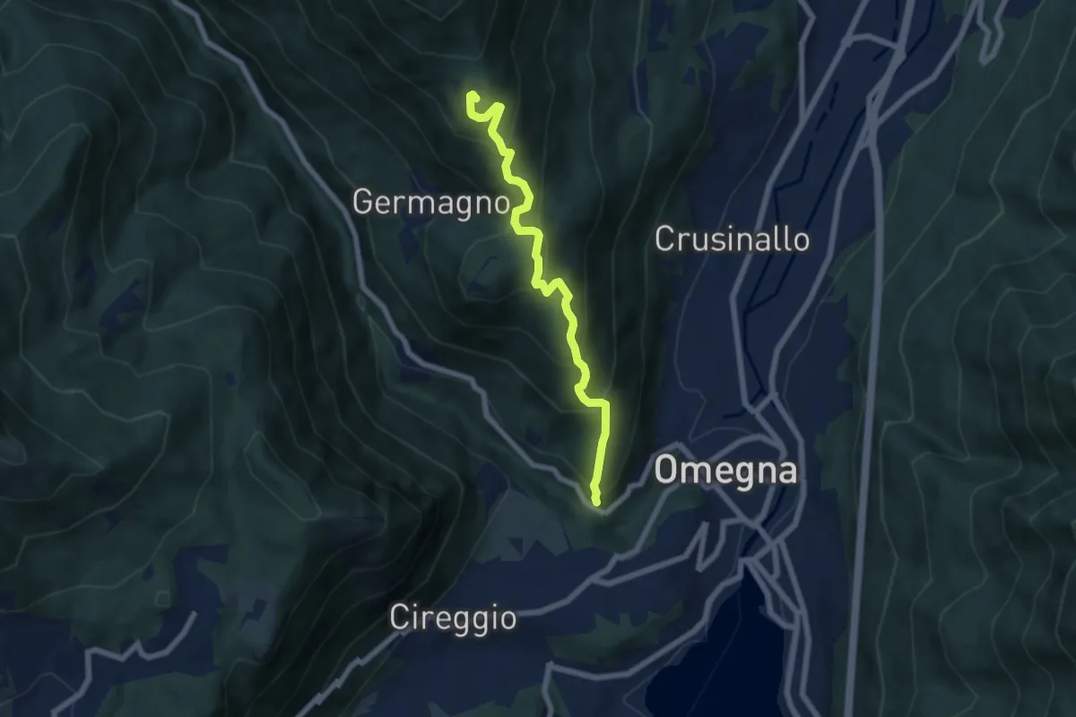
Medium · Trail
T18 - Omegna - Alpe Cardello
6.0 km · ↑ 531 m · 2 h 34 min · 14 km away
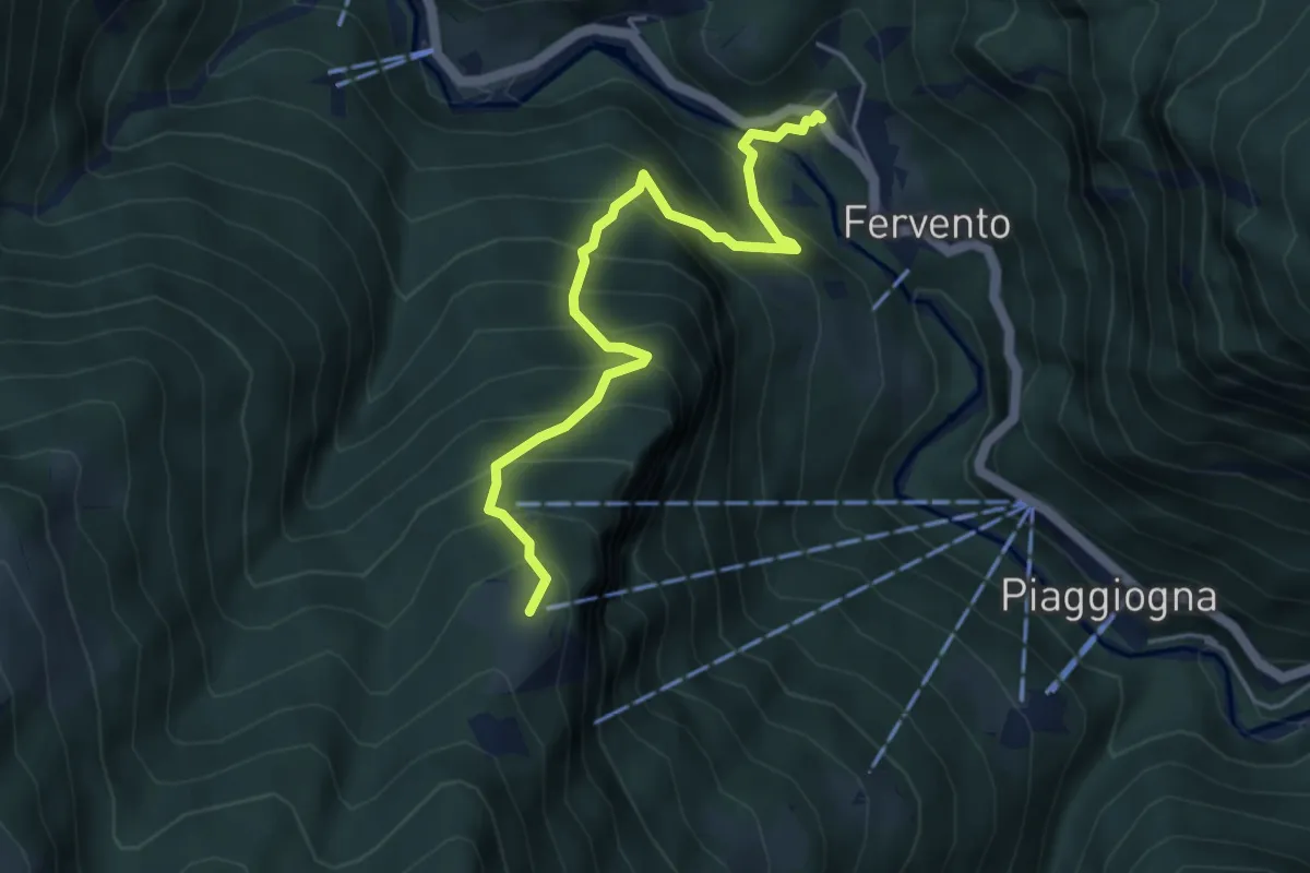
Medium · Trail
Fervento di Sopra – Alpe Selletto
4.6 km · ↑ 594 m · 2 h 23 min · 14 km away
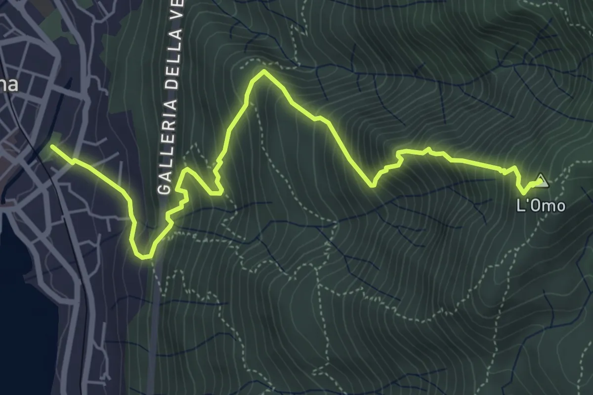
Demanding · Summit
VP2 - Omegna - Mottarone
6.5 km · ↑ 916 m · 3 h 31 min · 14 km away
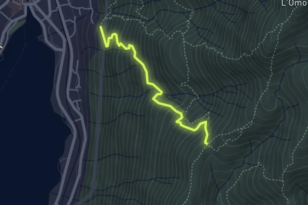
Medium · Trail
VP3 - Omegna - Tre Alberi
3.7 km · ↑ 502 m · 1 h 58 min · 14 km away