Trails near Venafro
19 hikes starting within 15 km, nearest first.
Nearest first
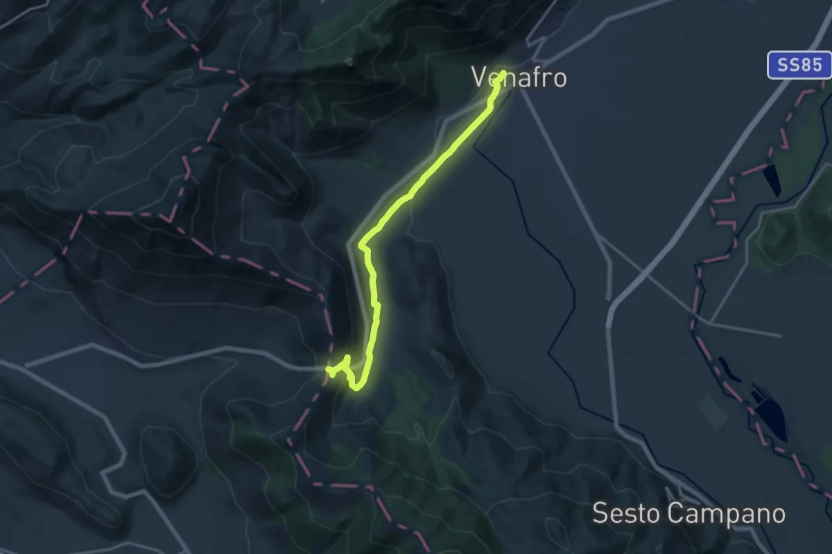
Medium · Trail
Tre Torri – Venafro
14.7 km · ↑ 306 m · 4 h 8 min · 6 km away
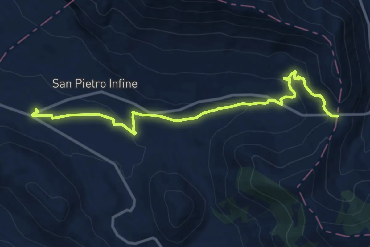
Medium · Trail
San Pietro Infine (Taverna di San Cataldo) – Passo Annunziata Lunga
14.1 km · ↑ 438 m · 4 h 17 min · 6 km away
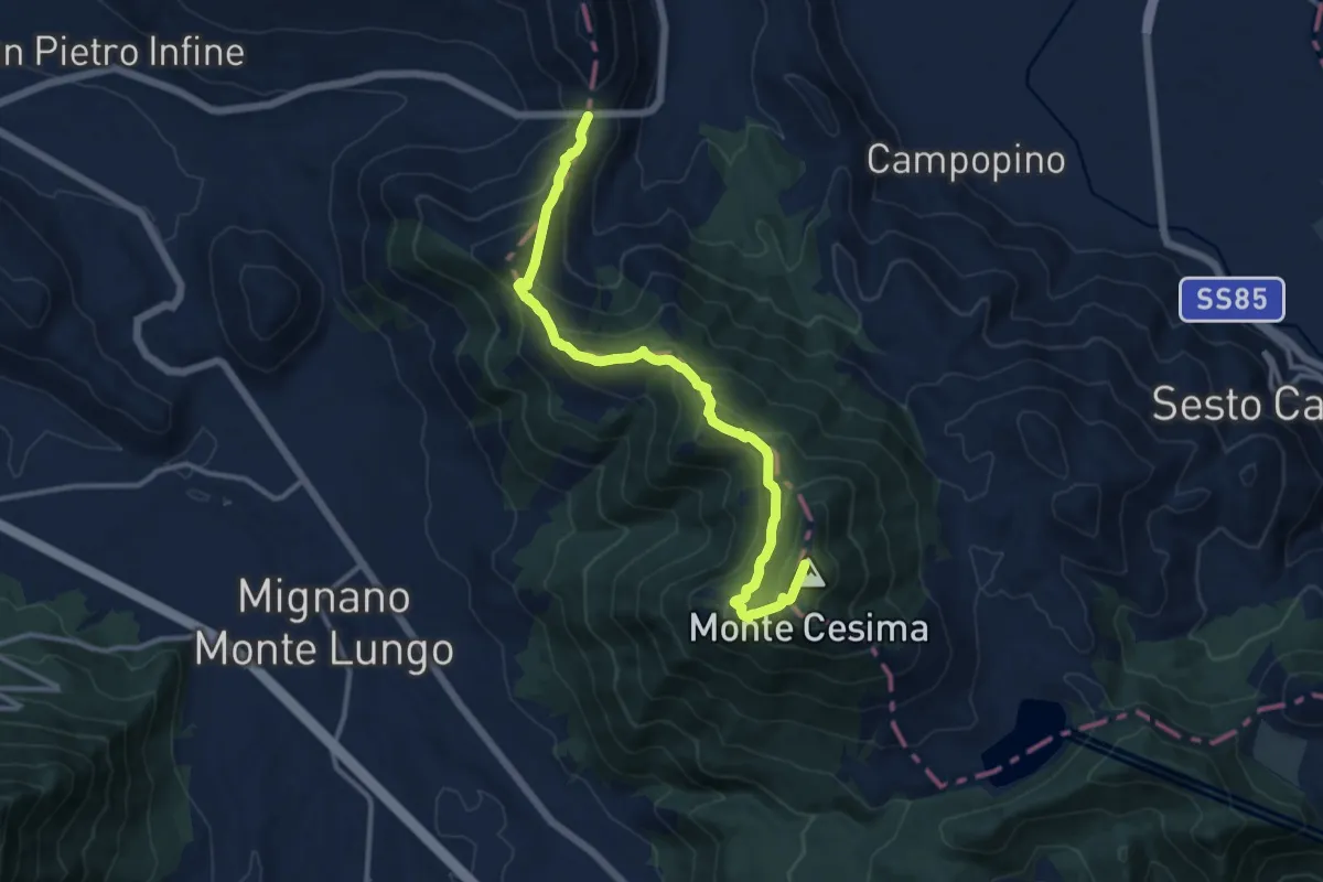
Demanding · Summit
Passo Annunziata Lunga – Monte Cesima
13.4 km · ↑ 853 m · 5 h · 6 km away
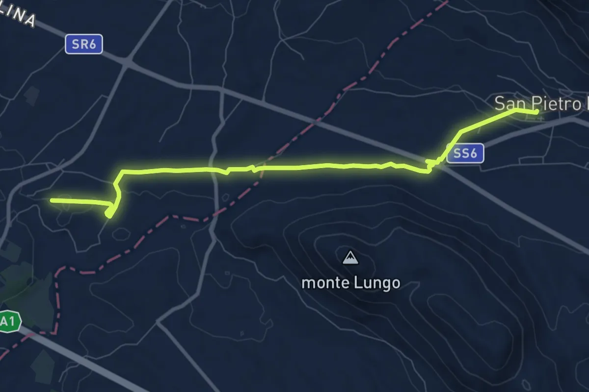
Medium · Trail
San Pietro Infine (Taverna di San Cataldo) – stazione ferroviaria Rocca d'Evandro
9.7 km · ↑ 87 m · 2 h 29 min · 8 km away
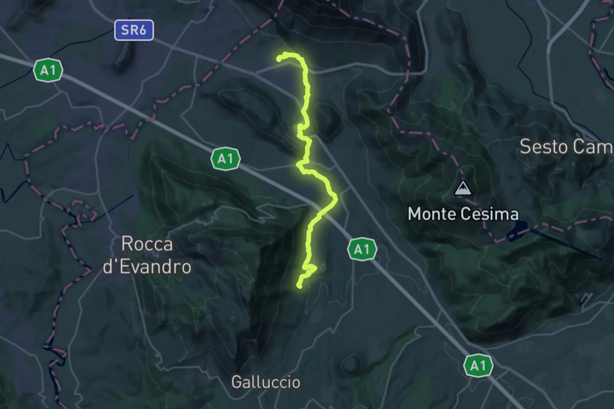
Demanding · Trail
Caspoli (Mignano Monte Lungo) – San Pietro Infine (Taverna di San Cataldo)
22.5 km · ↑ 563 m · 6 h 32 min · 8 km away
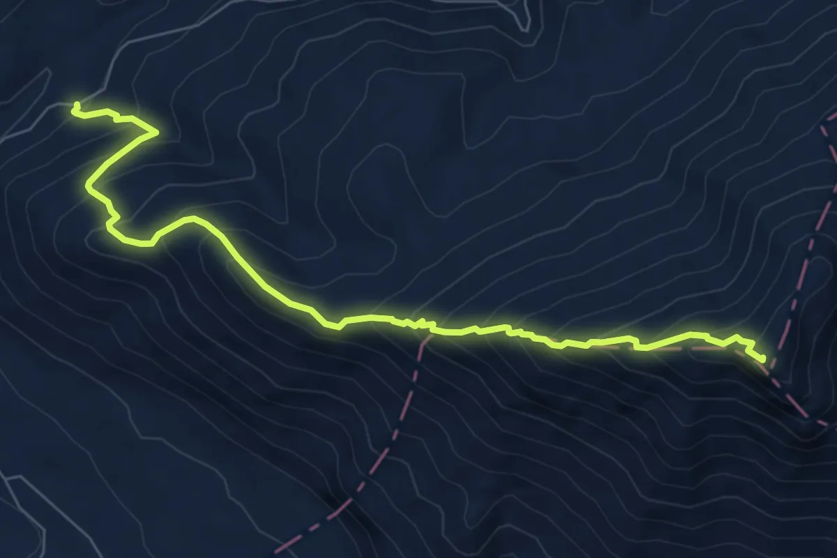
Demanding · Summit
Sentiero monte Sammucro
8.4 km · ↑ 887 m · 3 h 54 min · 9 km away
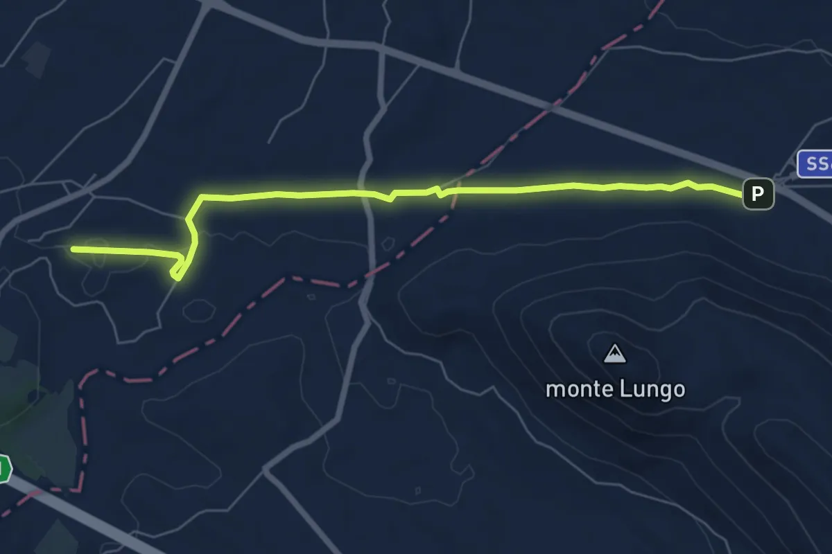
Easy · Trail
Transito - Via Micaelica
7.3 km · ↑ 36 m · 1 h 48 min · 9 km away
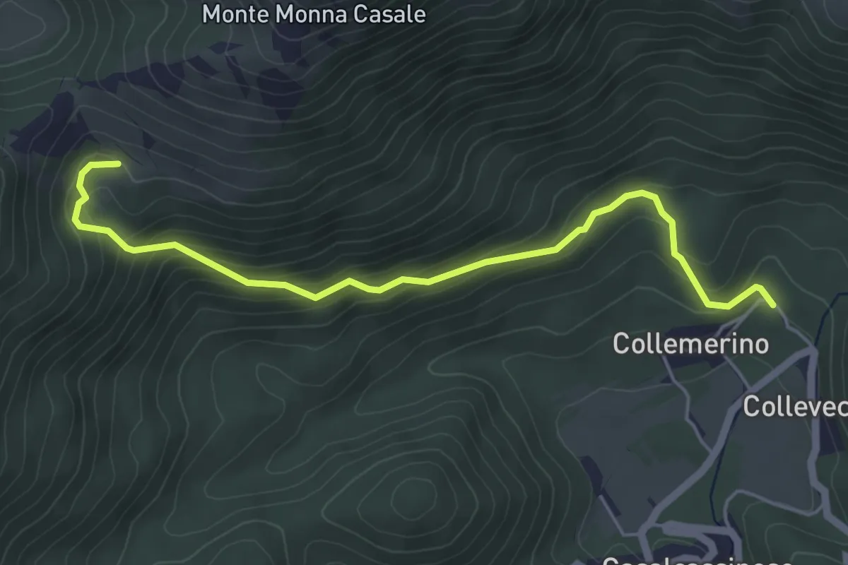
Medium · Trail
Monte Monna Casale
5.5 km · ↑ 354 m · 2 h 4 min · 10 km away
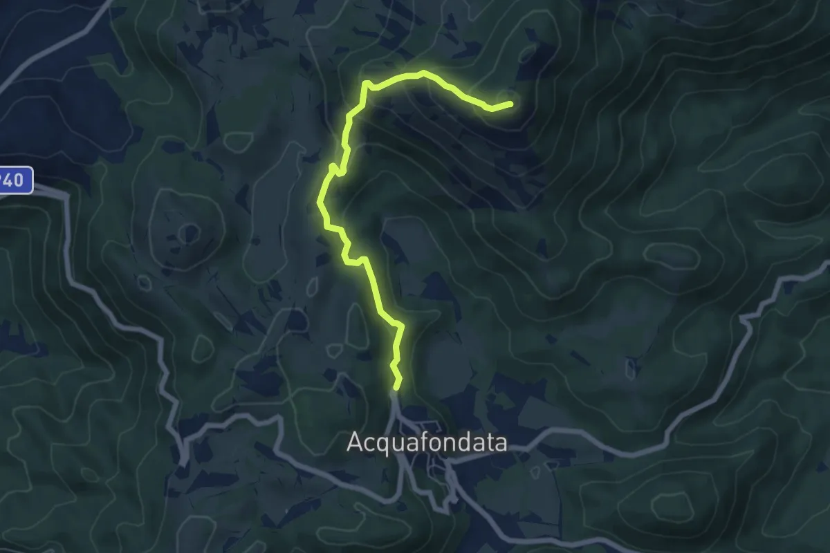
Medium · Summit
Monte Monna Acquafondata
6.4 km · ↑ 433 m · 2 h 27 min · 10 km away
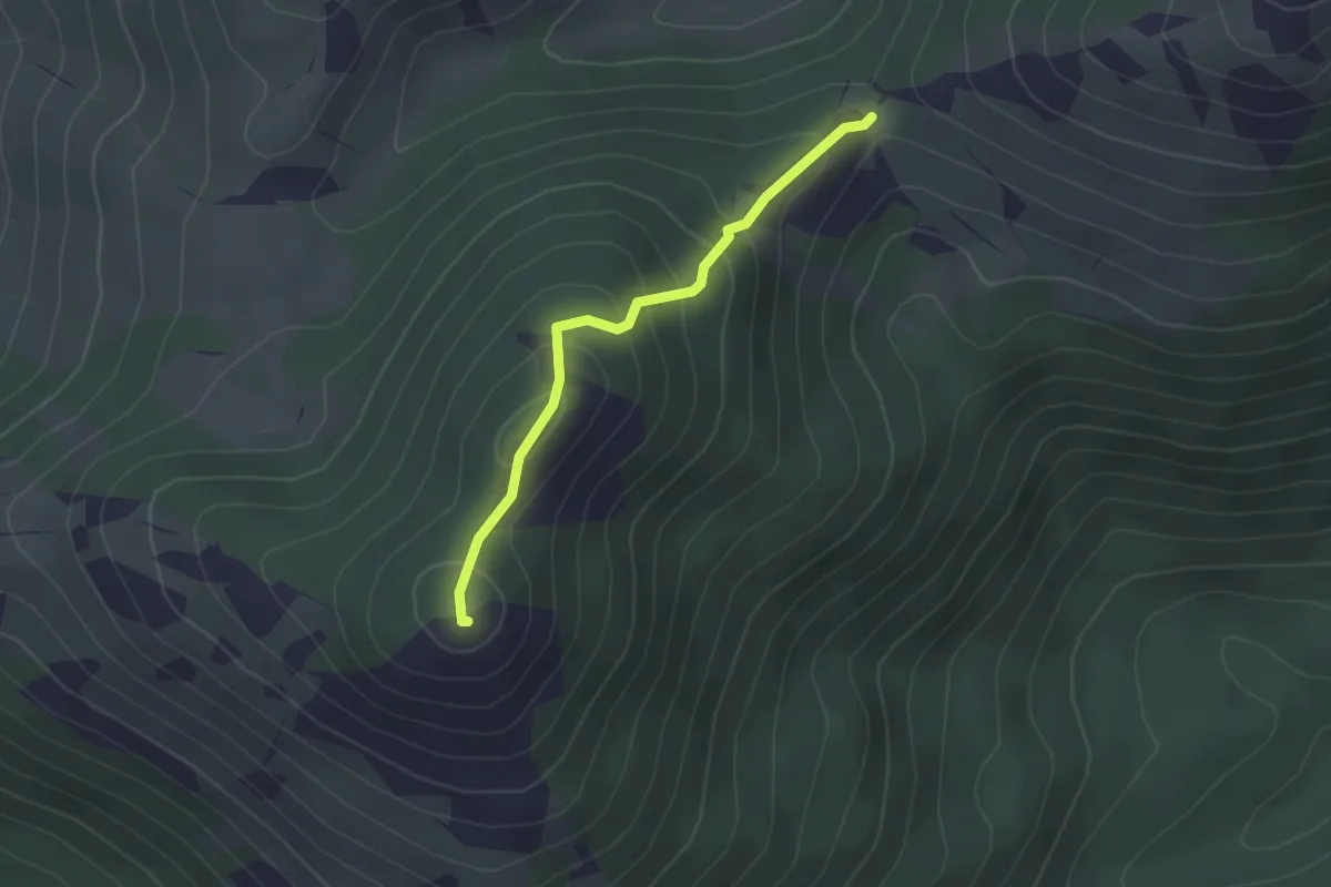
Easy · Summit
Valico delle due Monne – Monte Monna Acquafondata
2.3 km · ↑ 186 m · 56 min · 11 km away
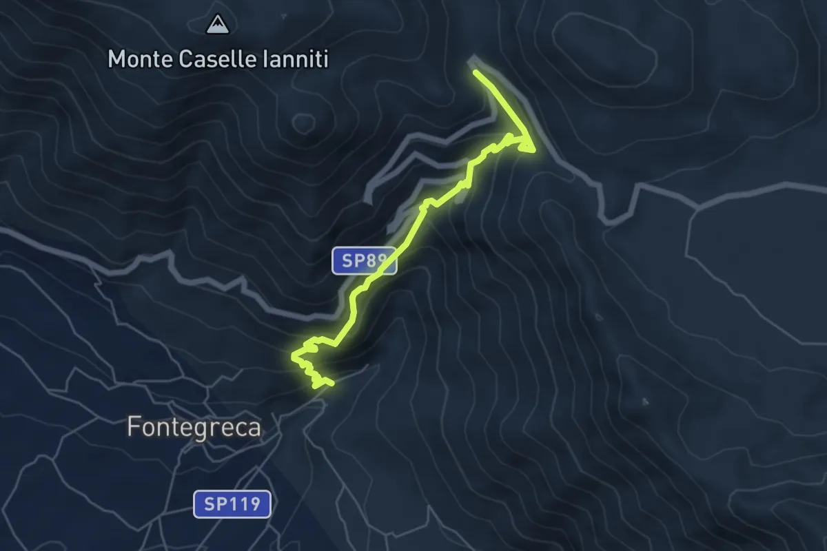
Medium · Trail
Val di conche
5.8 km · ↑ 572 m · 2 h 37 min · 12 km away
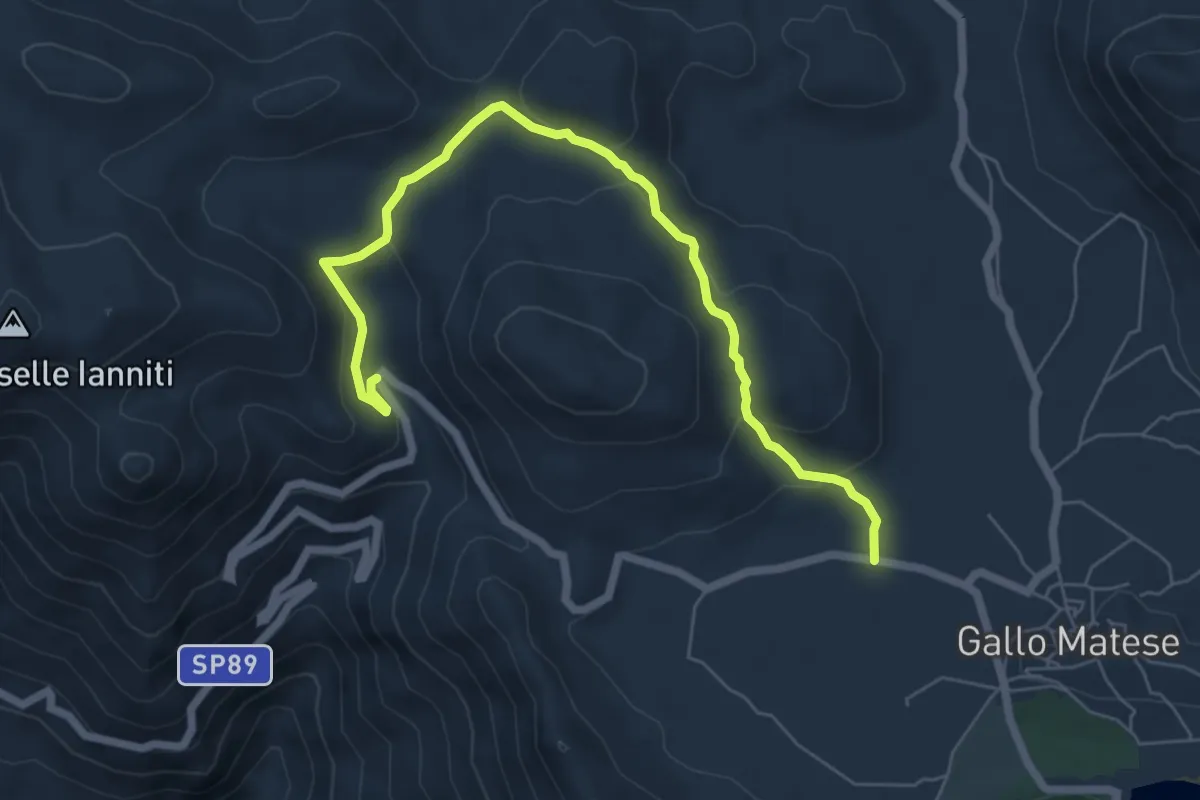
Easy · Trail
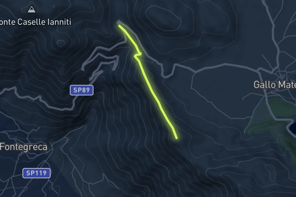
Gallo Matese – Monte Cinnamiello - Banere
7.6 km · ↑ 284 m · 2 h 24 min · 13 km away
Easy · Summit
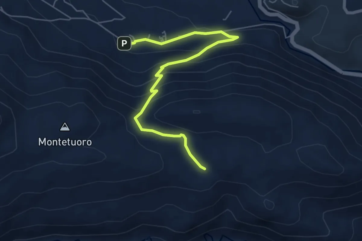
Monte Scoltrone
3.8 km · ↑ 268 m · 1 h 28 min · 13 km away
Medium · Trail
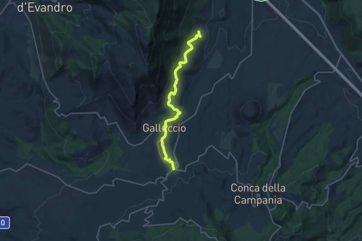
Sentiero delle Mura sannite
6.0 km · ↑ 347 m · 2 h 10 min · 13 km away
Medium · Trail
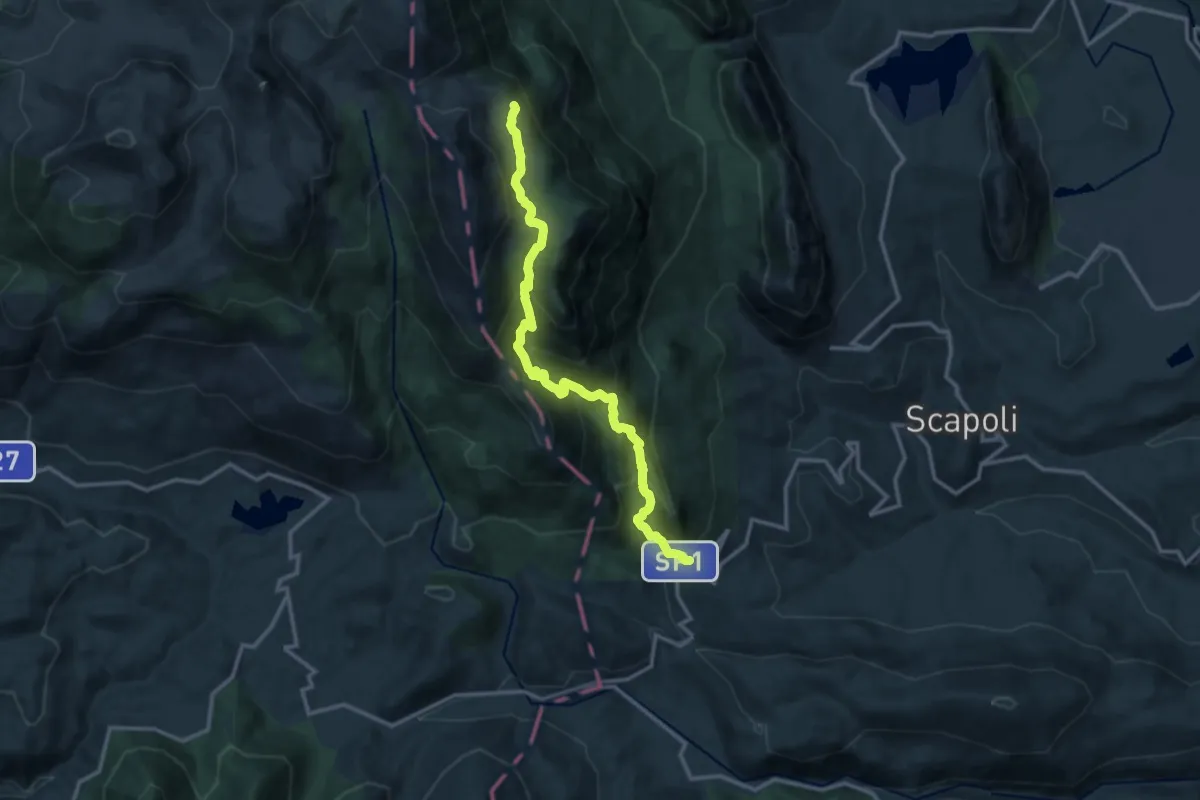
San Clemente di Galluccio – Caspoli (Mignano Monte Lungo)
12.6 km · ↑ 375 m · 3 h 47 min · 13 km away
Demanding · Trail
La Ferruccia - Cerasuolo
14.5 km · ↑ 1129 m · 5 h 52 min · 13 km away
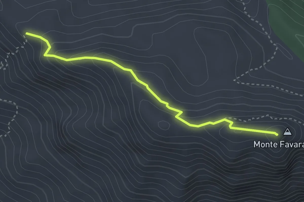
Demanding · Summit
Prata Sannita – Monte Favaracchi
3.4 km · ↑ 213 m · 1 h 16 min · 14 km away
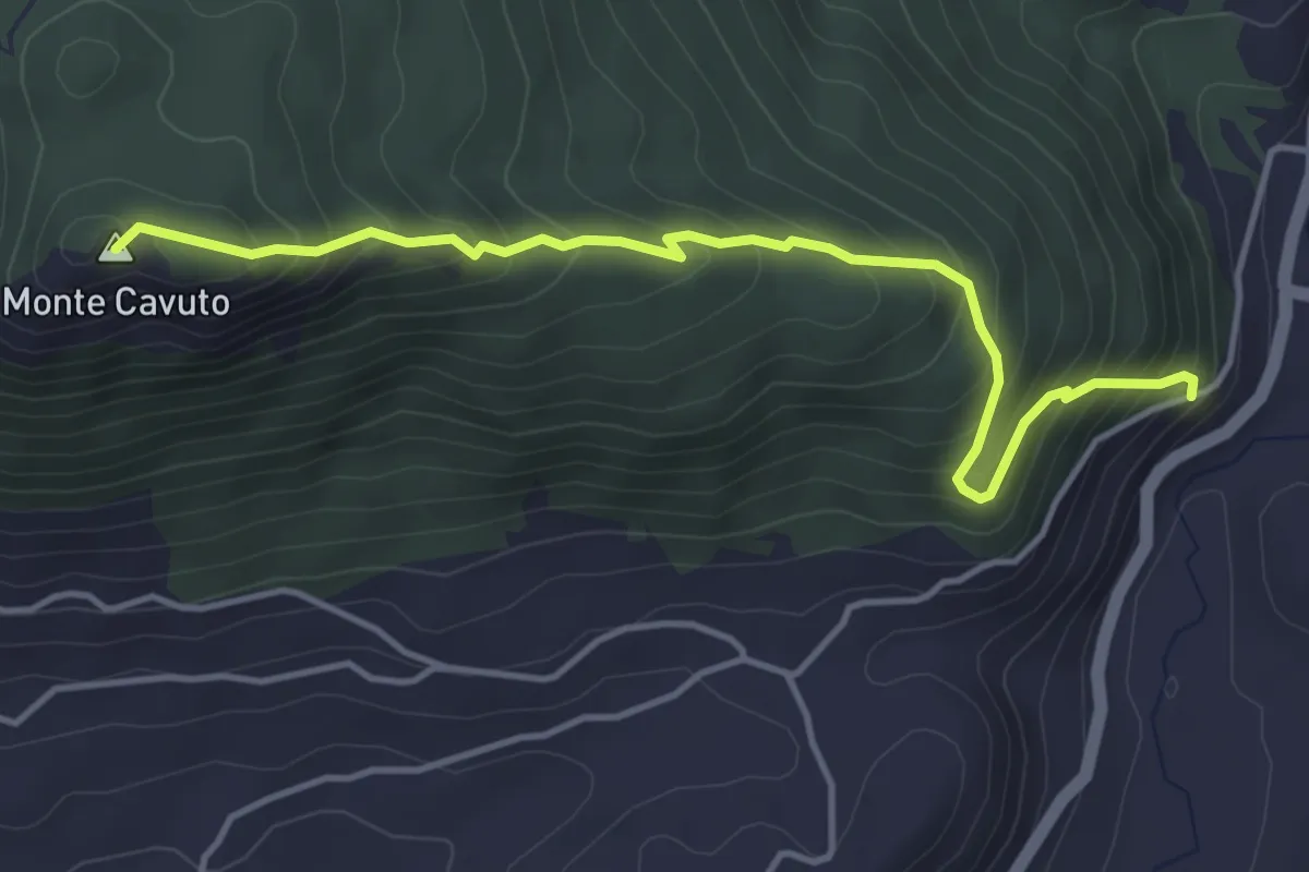
Medium · Summit
Monte Cavuto
4.8 km · ↑ 444 m · 2 h 6 min · 14 km away
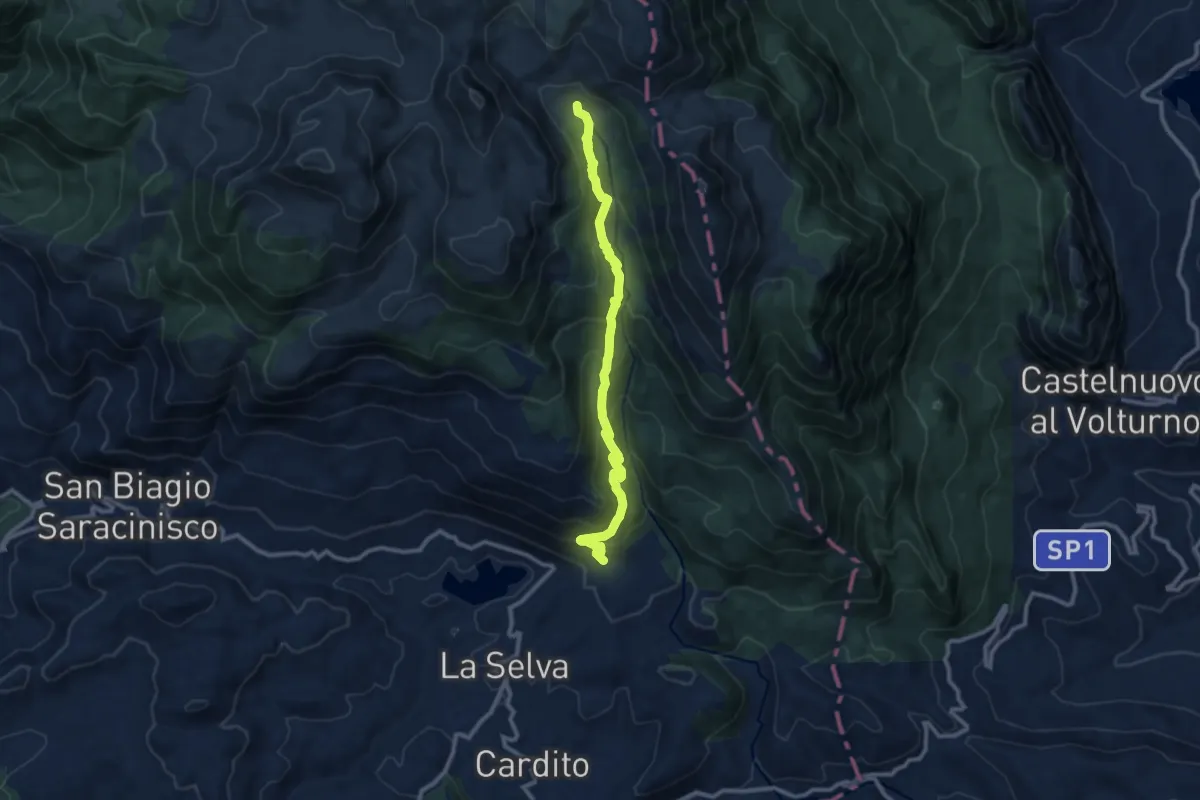
Medium · Trail
Valle Venafrana - Ponte Riparossa
11.4 km · ↑ 727 m · 4 h 15 min · 15 km away