Trails near Verona
36 hikes starting within 15 km, nearest first.
Nearest first
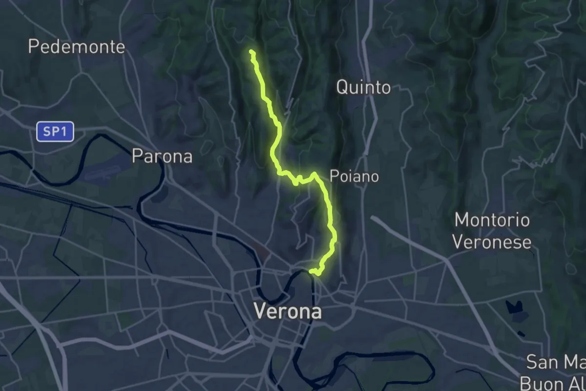
Medium · Summit
Verona Ponte Pietra – Montecchio
17.3 km · ↑ 721 m · 5 h 38 min · 1 km away
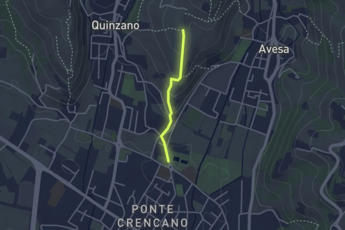
Easy · Trail
Allacciante n. 2
2.1 km · ↑ 85 m · 41 min · 4 km away
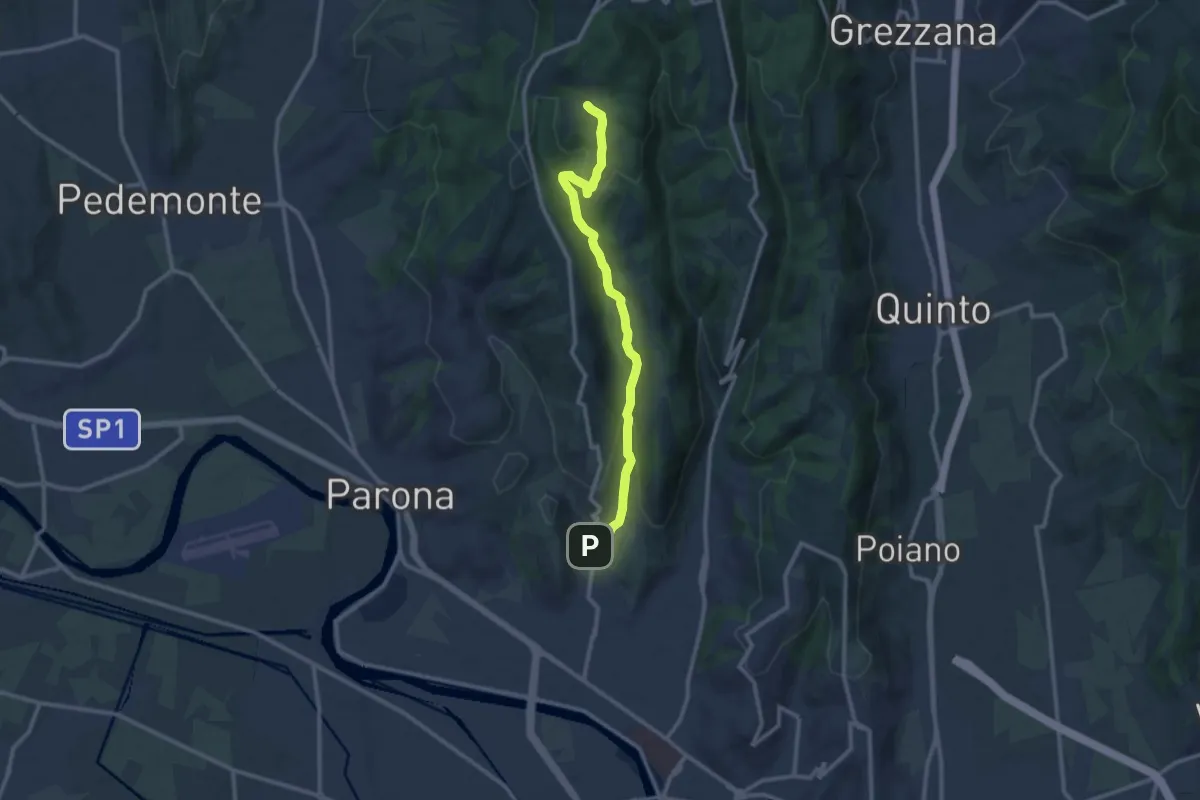
Medium · Trail
Sentiero Girardi
12.9 km · ↑ 403 m · 3 h 56 min · 4 km away
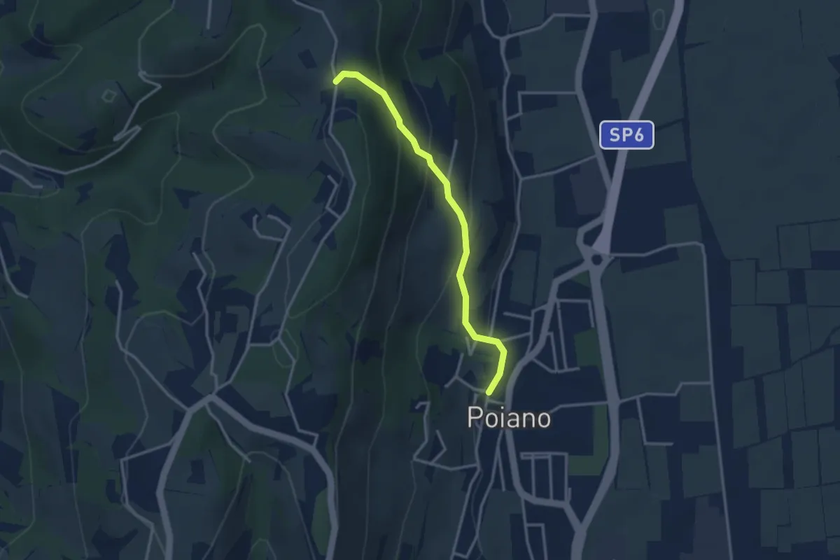
Medium · Trail
Poiano – Percorso 263
2.9 km · ↑ 192 m · 1 h 6 min · 4 km away
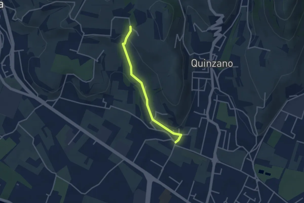
Easy · Trail
Allacciante n. 1
2.6 km · ↑ 80 m · 47 min · 5 km away
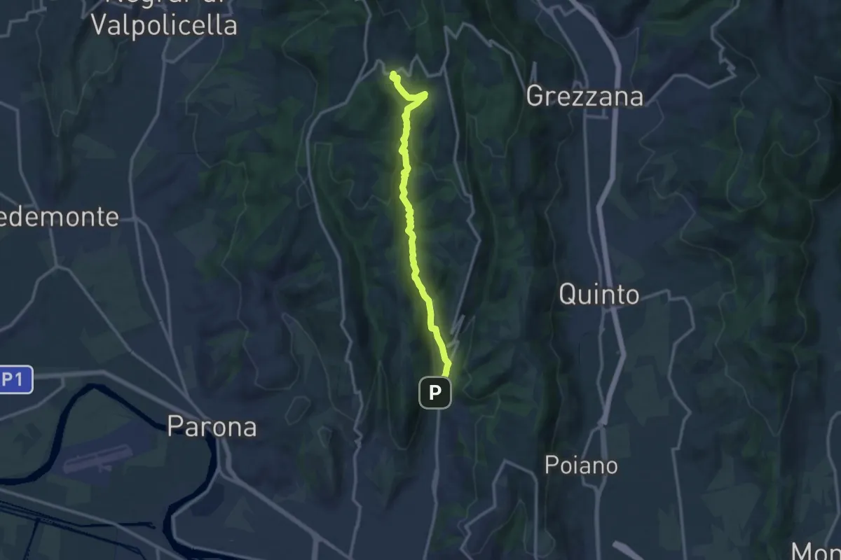
Demanding · Trail
Vajo Borago
11.3 km · ↑ 404 m · 3 h 33 min · 5 km away
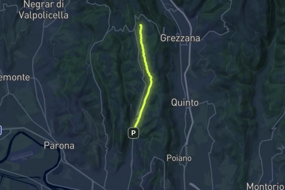
Medium · Trail
Vajo Galina
10.1 km · ↑ 334 m · 3 h 7 min · 5 km away
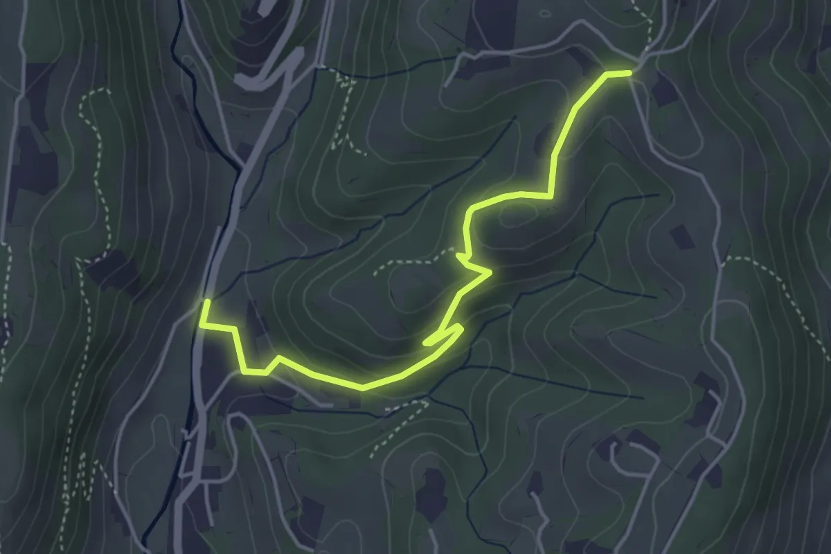
Easy · Trail
Avesa – Percorso 263
4.4 km · ↑ 174 m · 1 h 25 min · 5 km away
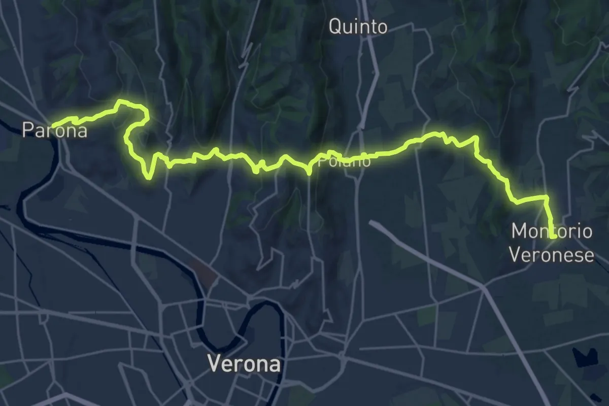
Medium · Trail
Dorsale Giuliani
14.8 km · ↑ 490 m · 4 h 46 min · 5 km away
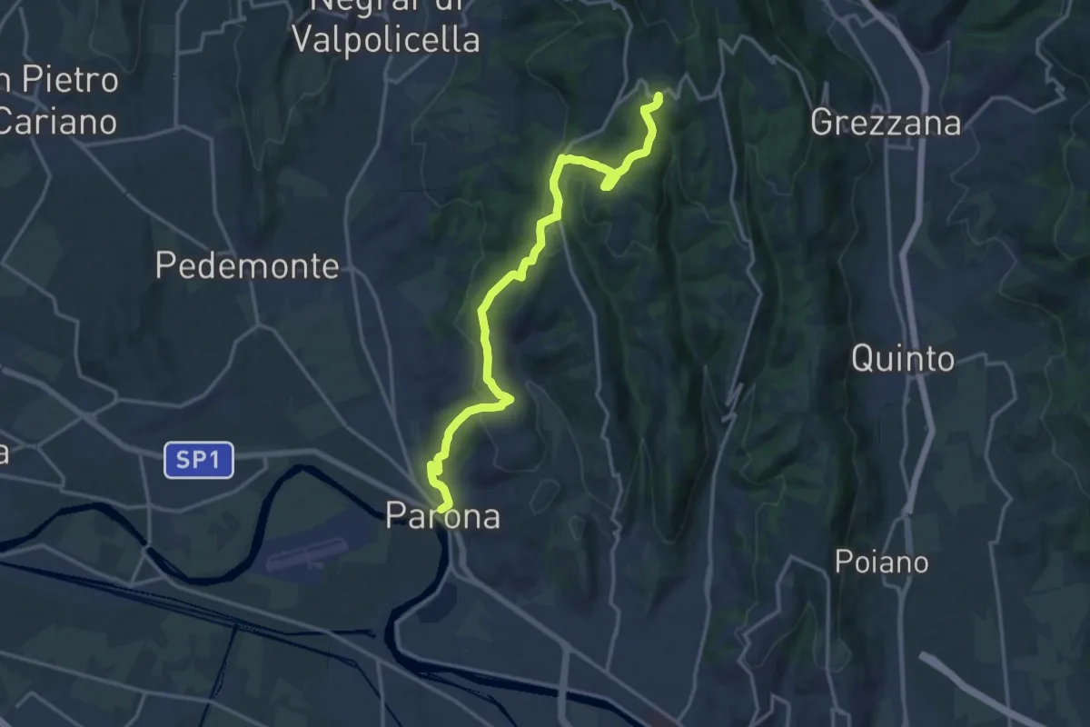
Medium · Trail
Parona – Montecchio
16.2 km · ↑ 520 m · 4 h 57 min · 5 km away
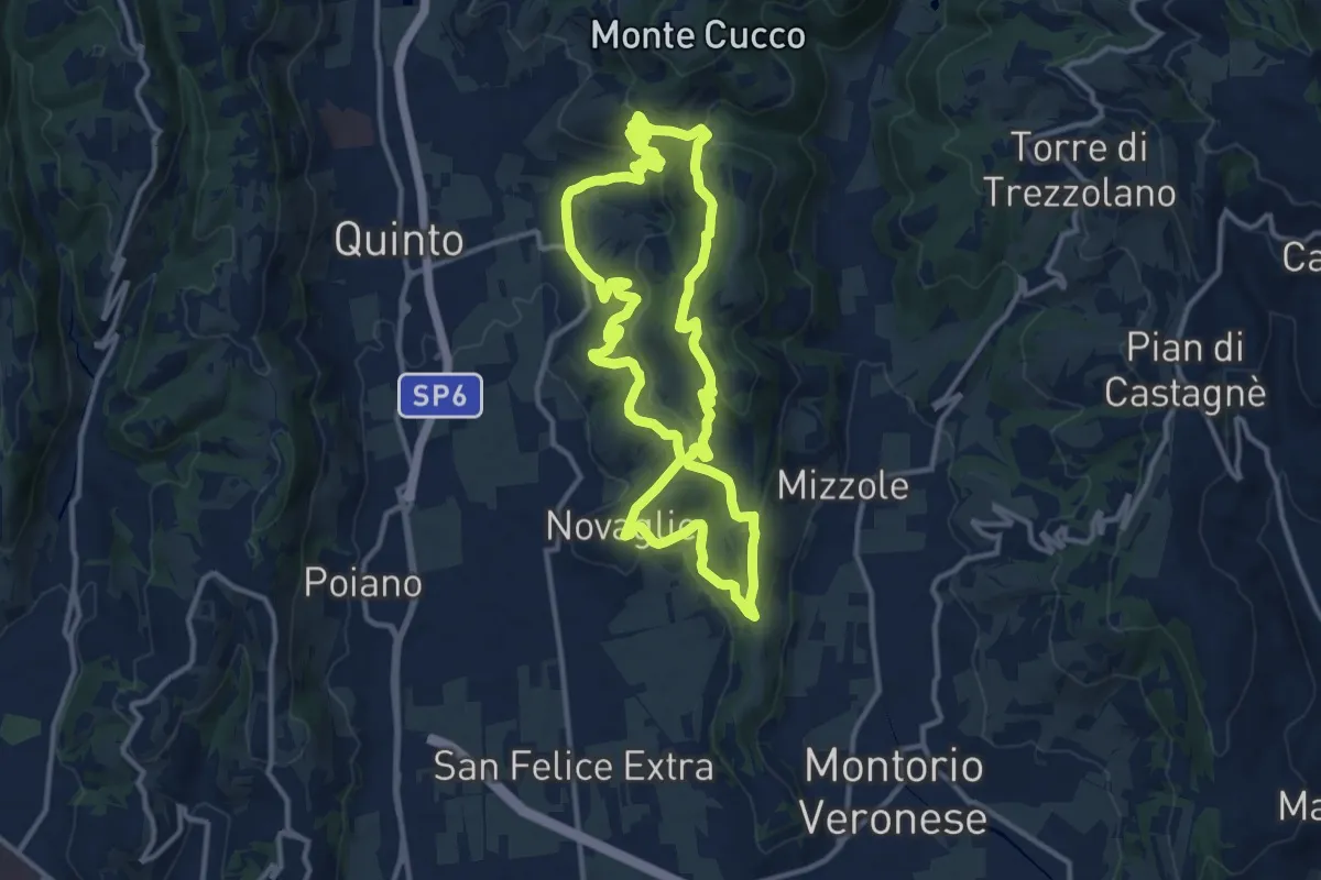
Medium · Trail
Grande Anello della Storia
13.0 km · ↑ 460 m · 4 h 14 min · 6 km away
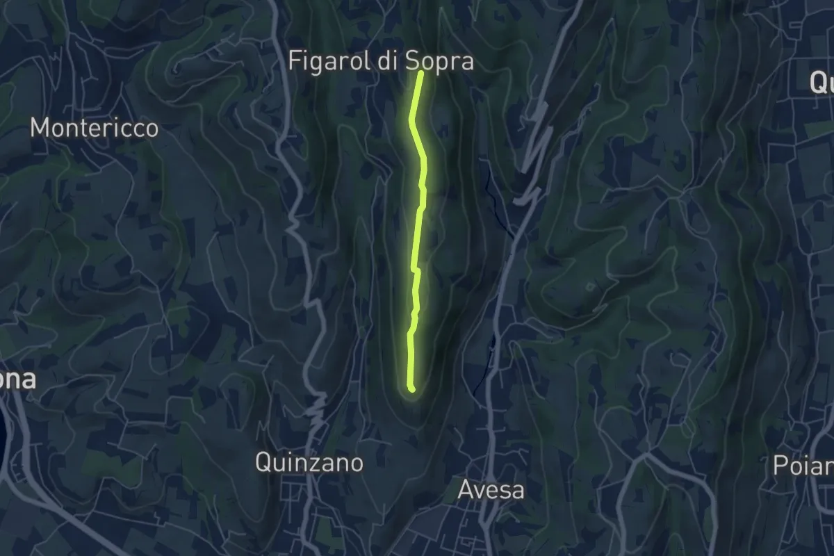
Medium · Summit
Quinzano - Montecchio
4.2 km · ↑ 78 m · 1 h 9 min · 6 km away
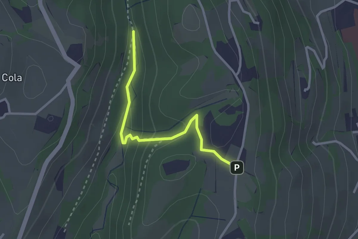
Easy · Trail
Vajo Galina – Percorso 263
2.4 km · ↑ 105 m · 48 min · 7 km away
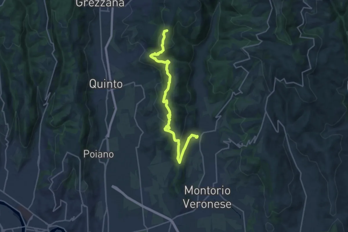
Medium · Summit
Mizzole – Croce di Romagnano
16.1 km · ↑ 537 m · 4 h 58 min · 7 km away
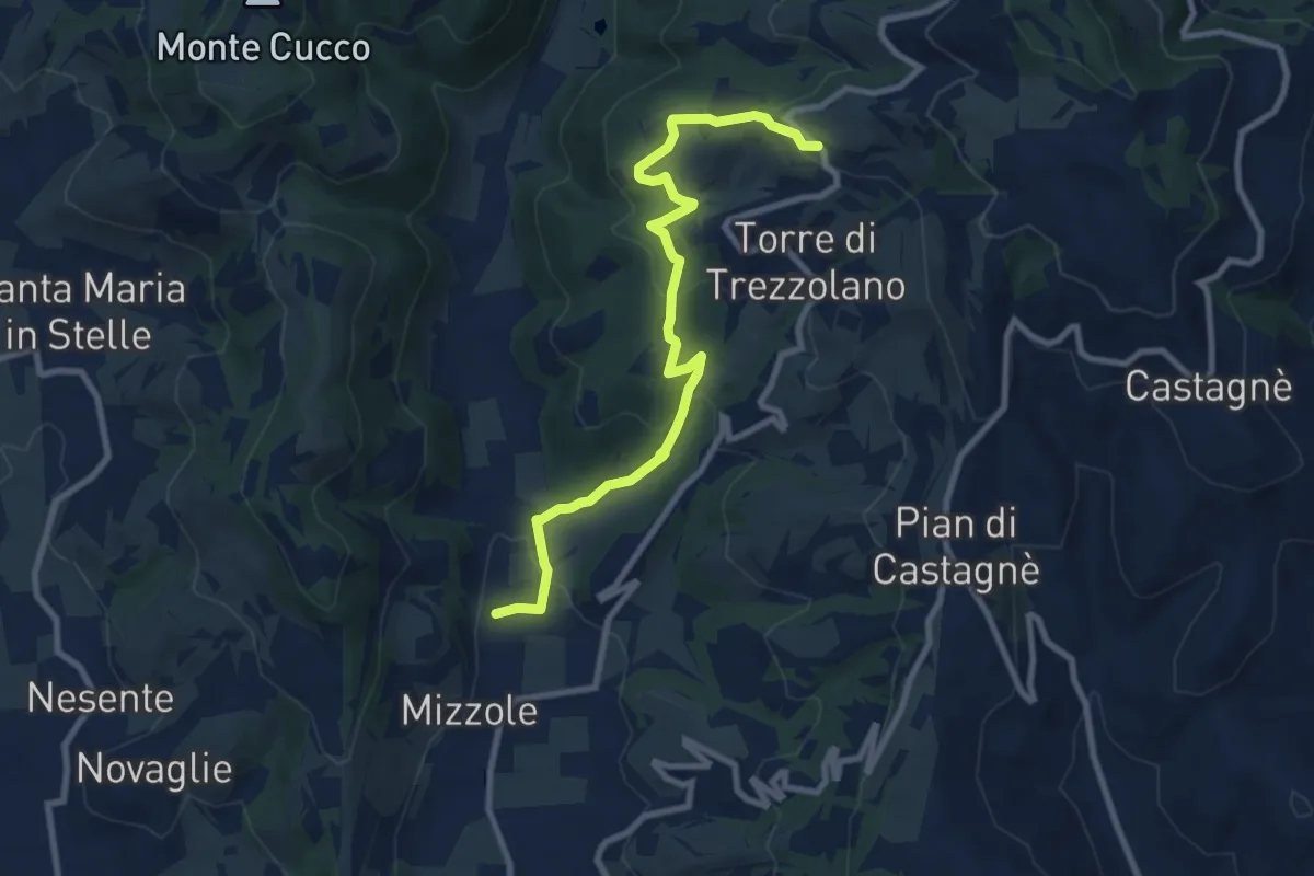
Demanding · Trail
Mizzole – Trezzolano
9.5 km · ↑ 344 m · 2 h 59 min · 7 km away
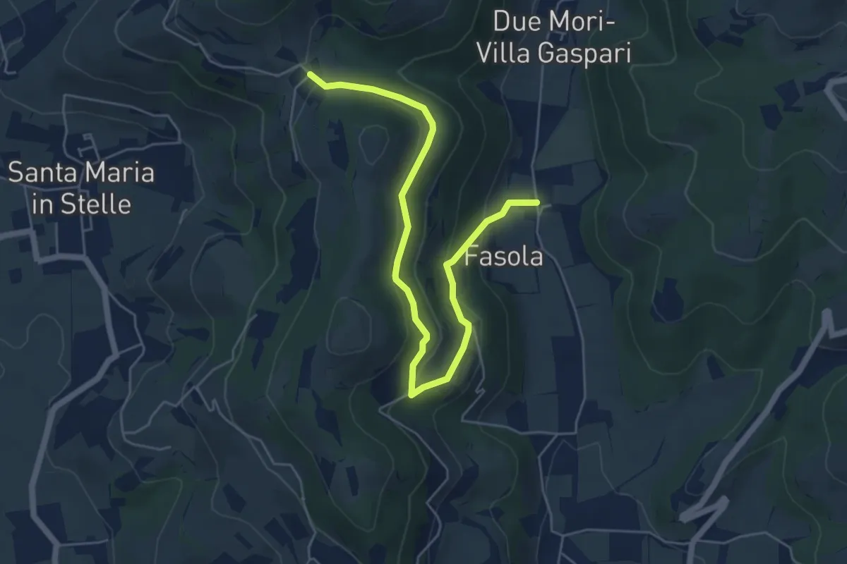
Easy · Trail
Pigozzo – Località Maroni
6.2 km · ↑ 229 m · 1 h 57 min · 8 km away
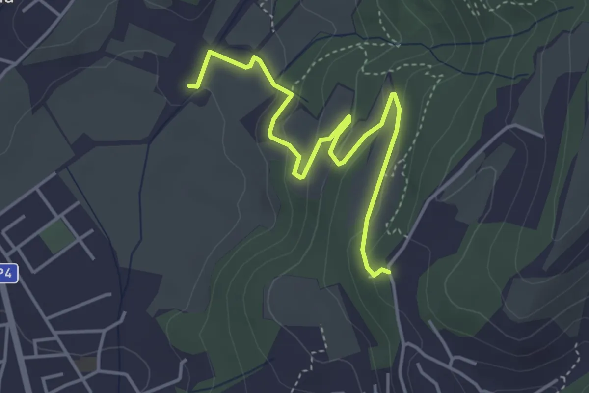
Medium · Trail
Via Ragose – Villa Novare
4.3 km · ↑ 150 m · 1 h 21 min · 8 km away
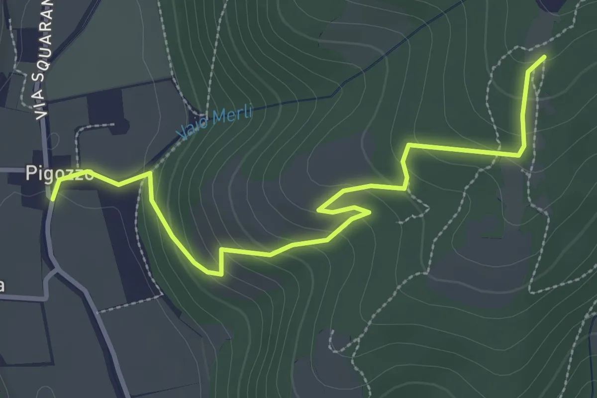
Easy · Trail
Pigozzo – località Gazzole
3.4 km · ↑ 186 m · 1 h 12 min · 8 km away
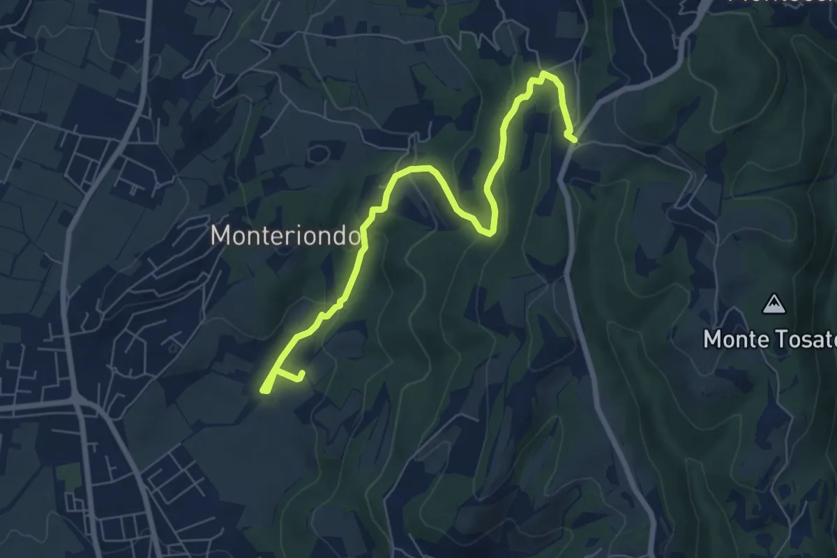
Easy · Trail
Campi di Sopra – Villa Novare
7.4 km · ↑ 295 m · 2 h 23 min · 9 km away
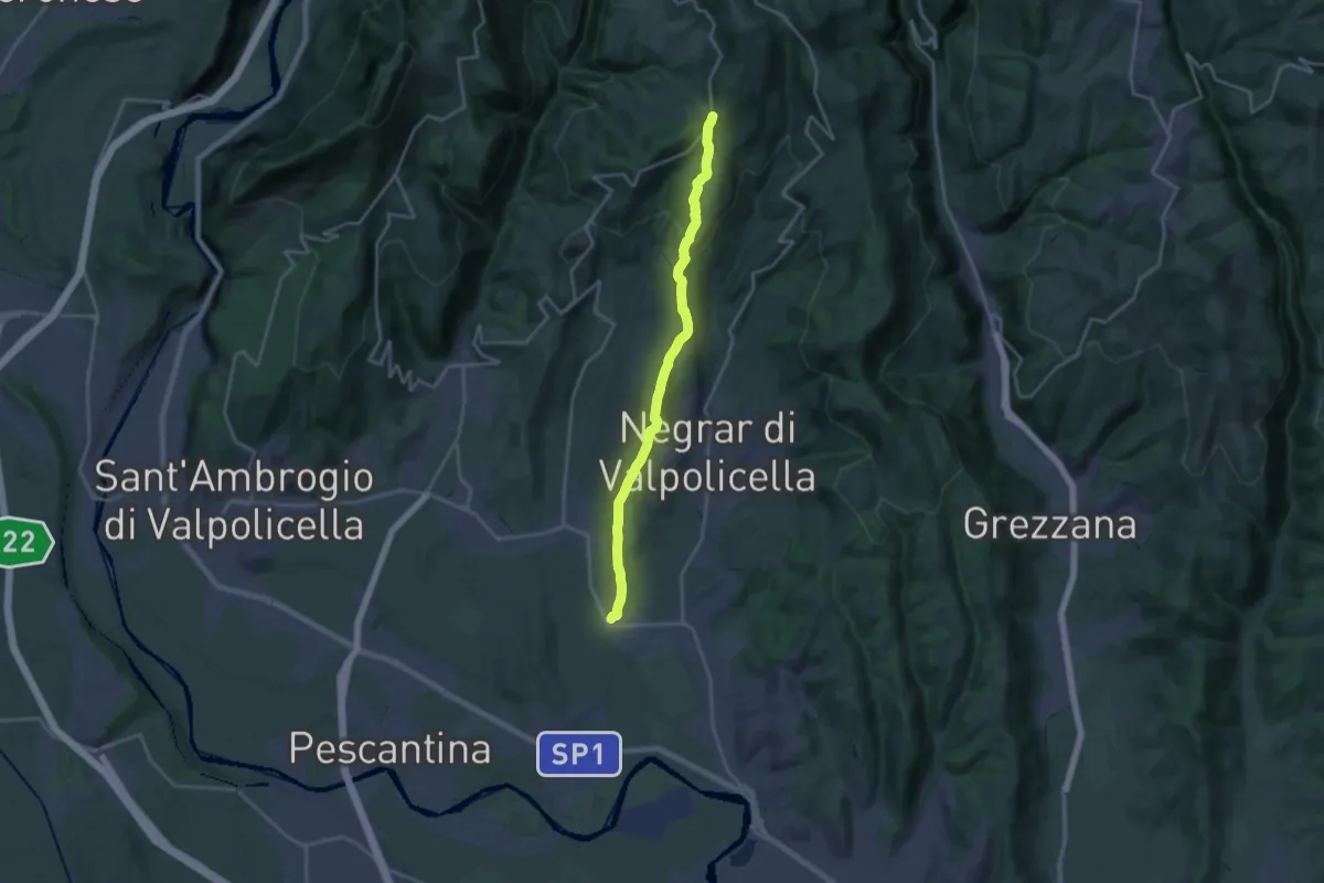
Demanding · Trail
Pedemonte - Santa Cristina
18.9 km · ↑ 669 m · 5 h 55 min · 9 km away
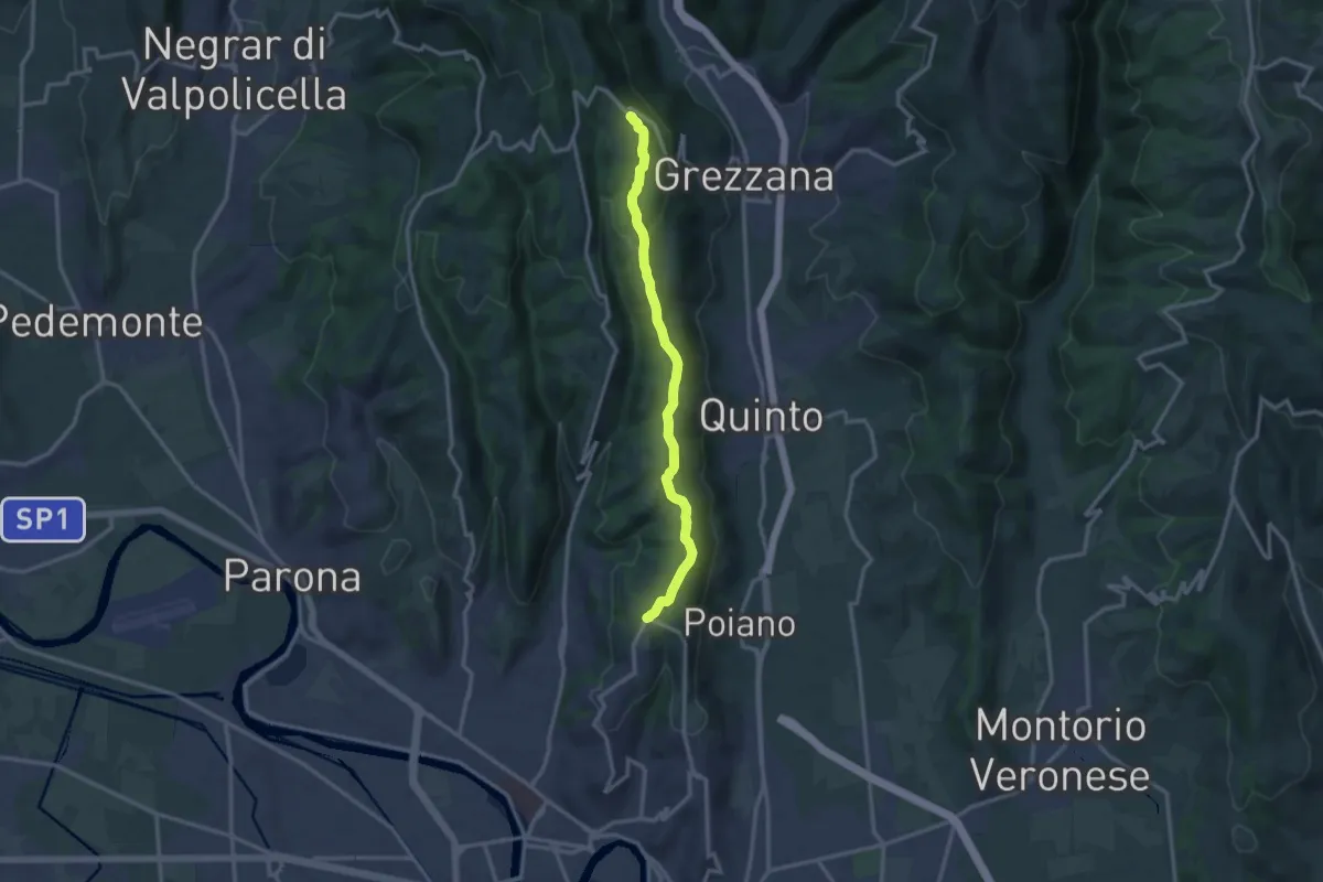
Medium · Trail
Dorsale delle Torricelle
13.1 km · ↑ 260 m · 3 h 39 min · 10 km away
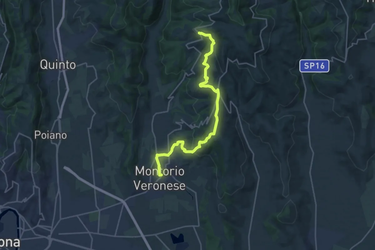
Medium · Trail
Montorio - Trezzolano
17.5 km · ↑ 613 m · 5 h 28 min · 10 km away
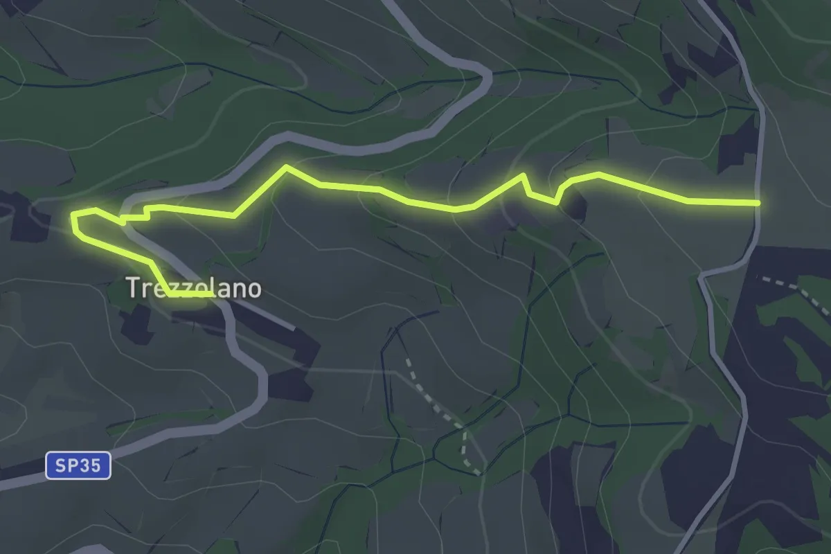
Easy · Trail
Trezzolano – Caiò
3.5 km · ↑ 155 m · 1 h 9 min · 10 km away
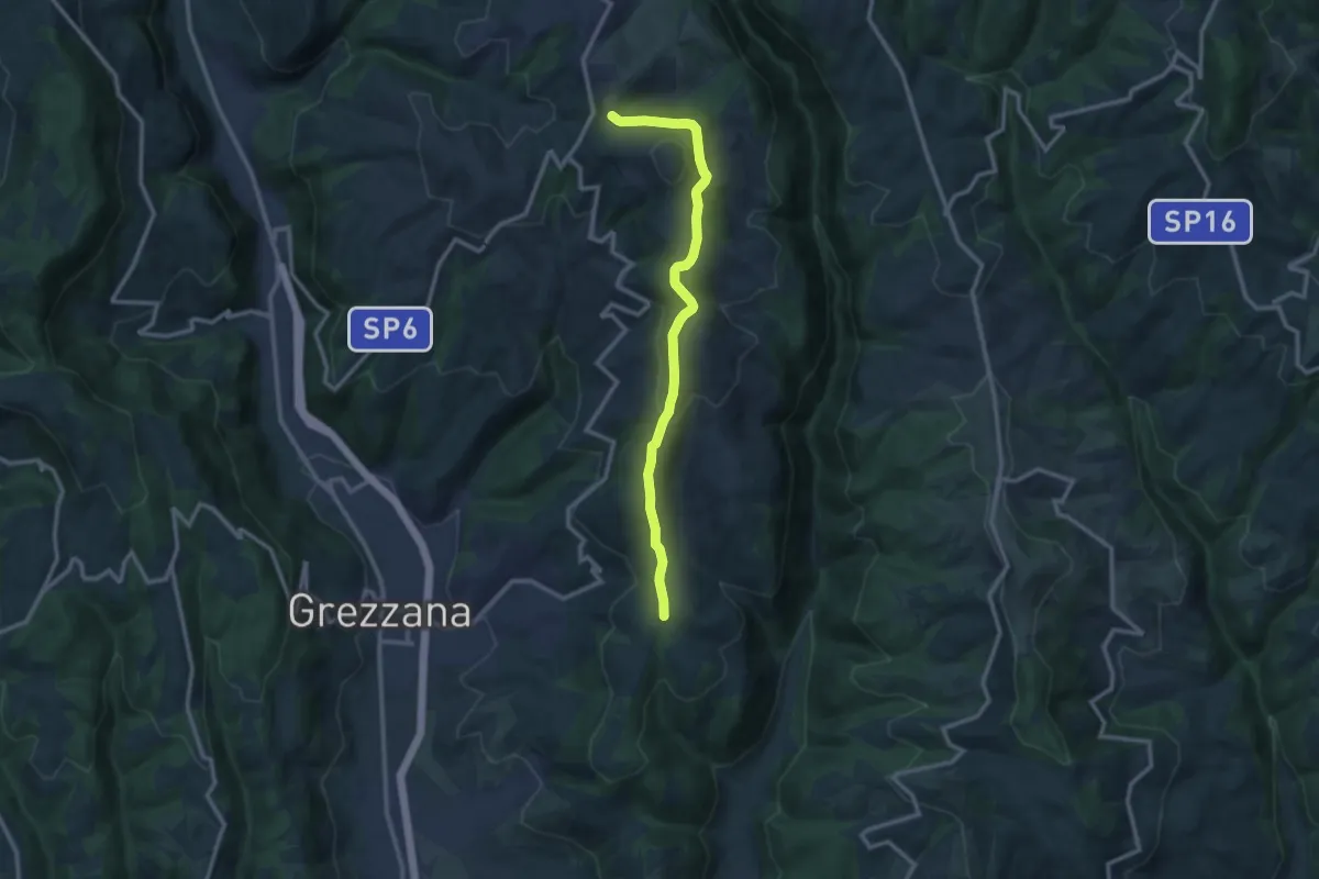
Medium · Trail
Croce di Romagnano - Tenda di Azzago
11.7 km · ↑ 419 m · 3 h 41 min · 10 km away
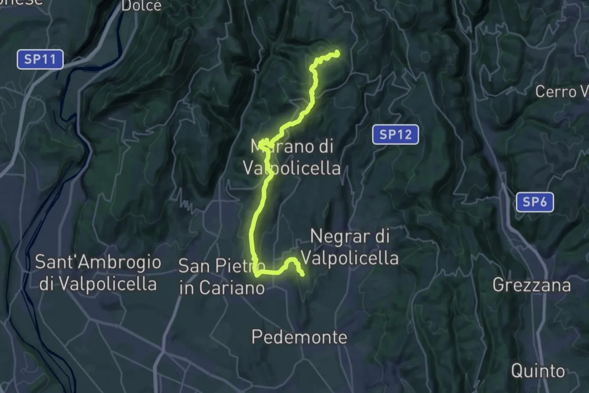
Demanding · Trail
Corte Bernardo – Mondrago
25.0 km · ↑ 952 m · 7 h 57 min · 11 km away
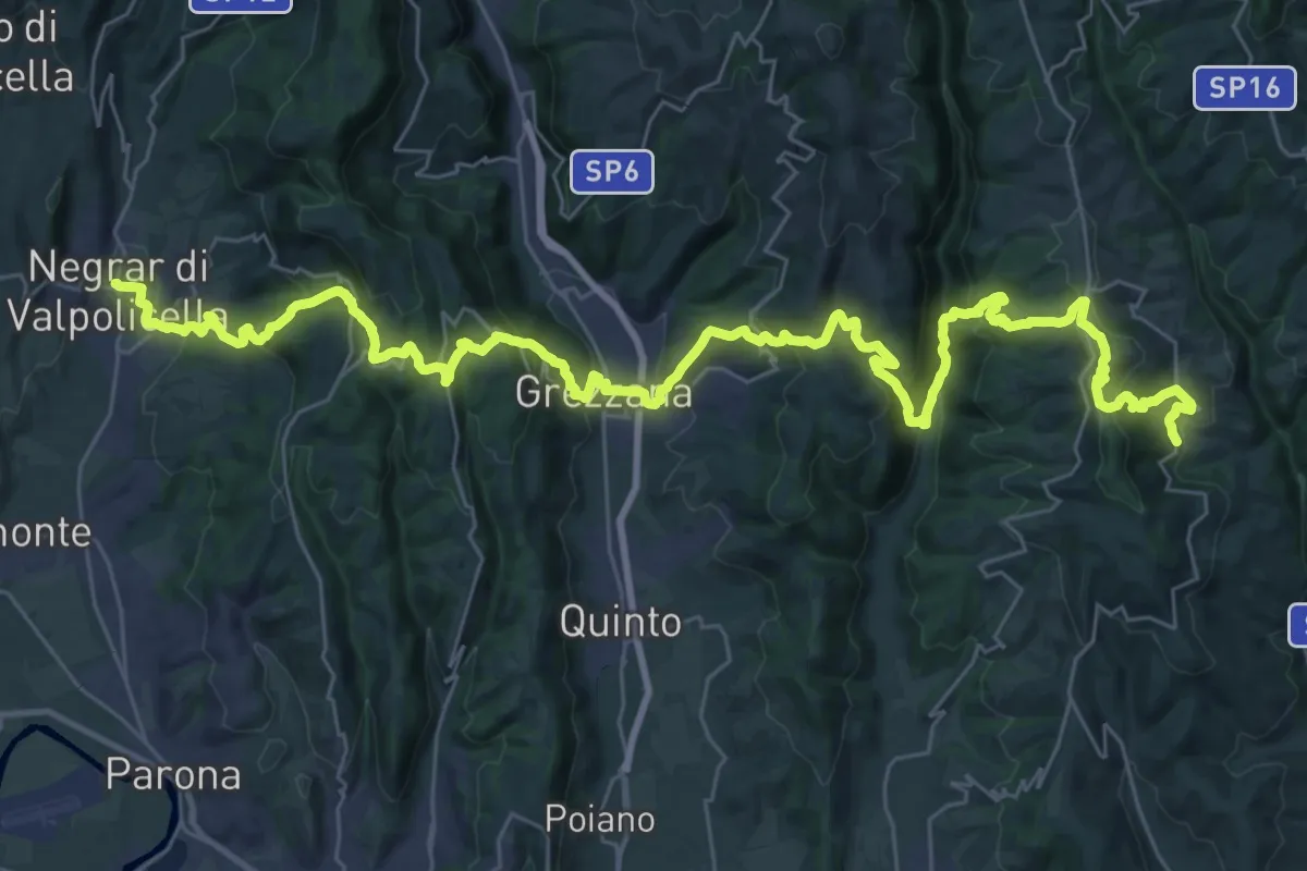
Demanding · Trail
Dorsale delle Cinque Valli
24.2 km · ↑ 1289 m · 8 h 44 min · 11 km away
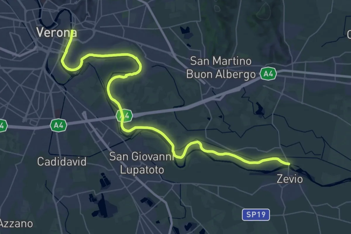
Demanding · Trail
Zevio – Verona
20.3 km · ↑ 25 m · 5 h 7 min · 13 km away
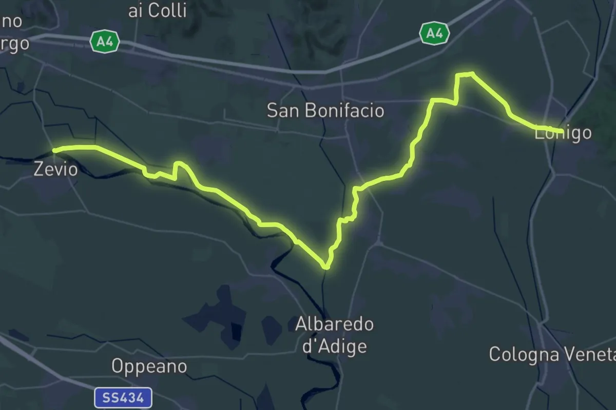
Demanding · Trail
Lonigo – Zevio
29.3 km · ↑ 13 m · 7 h 21 min · 13 km away
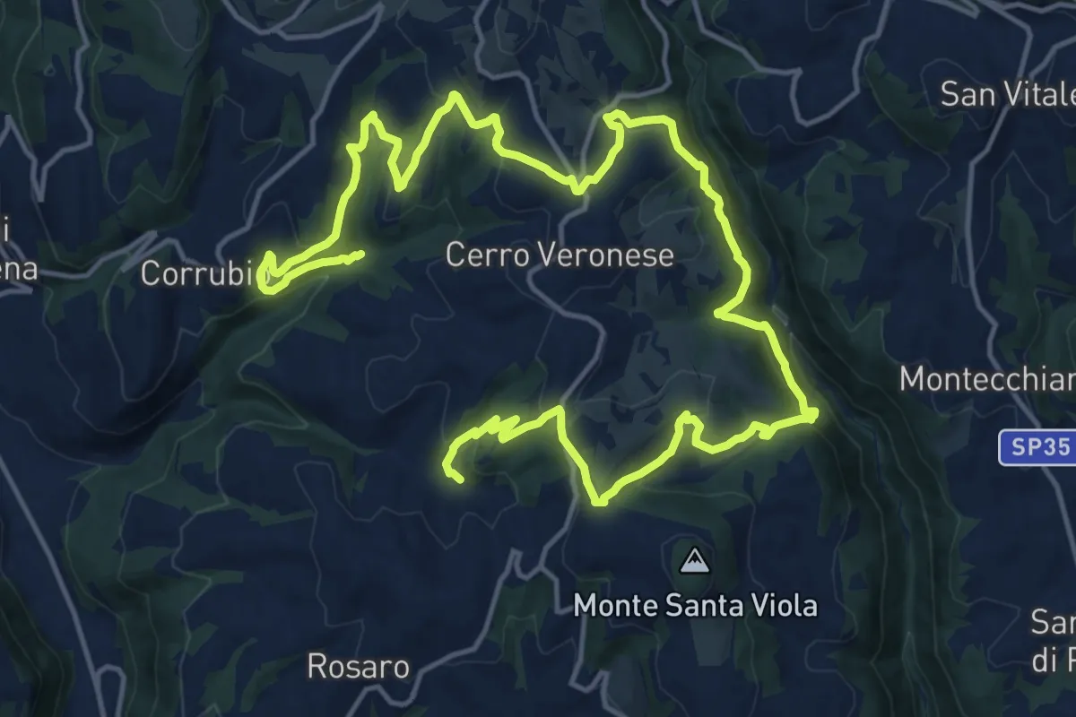
Medium · Trail
Sentiero n. 1
12.8 km · ↑ 622 m · 4 h 34 min · 14 km away
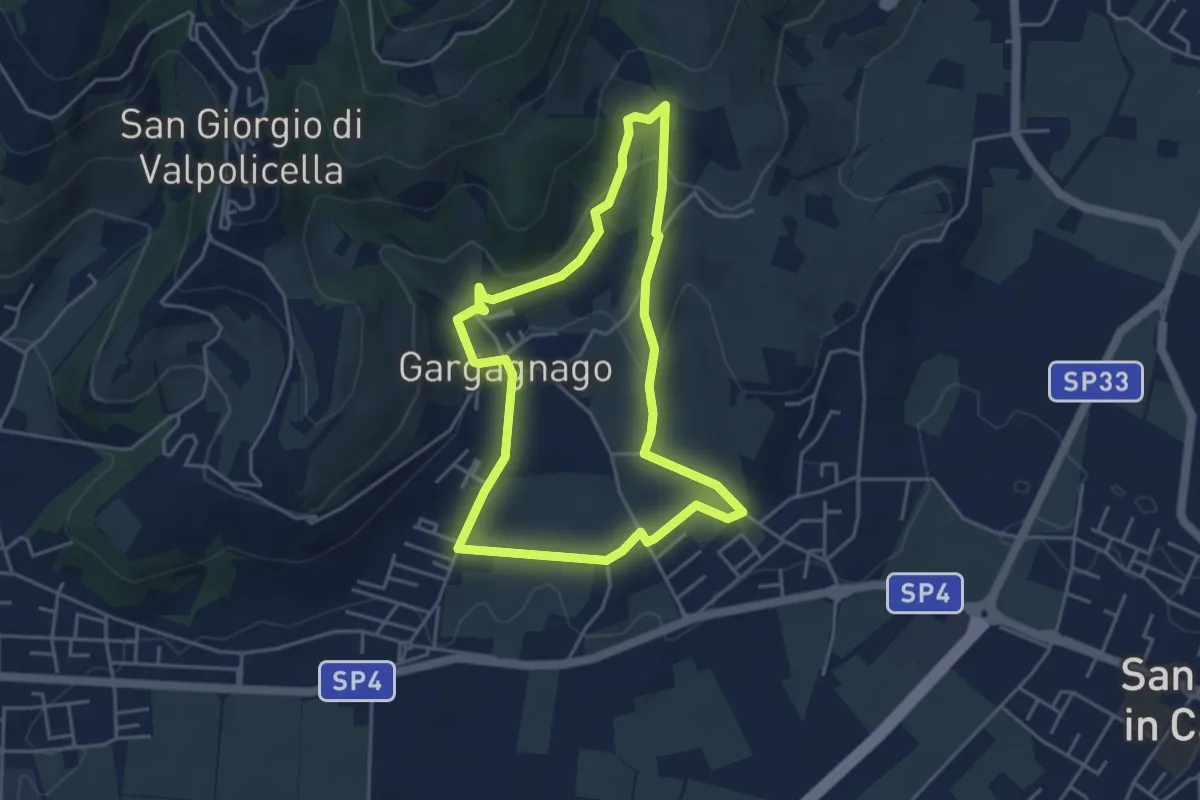
Easy · Trail
blue "G" marked trail
4.2 km · ↑ 130 m · 1 h 20 min · 14 km away
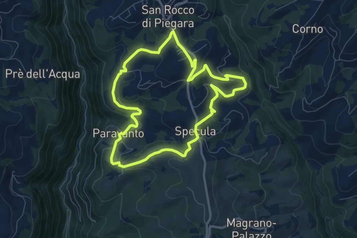
Easy · Trail
Percorso Giallo
7.3 km · ↑ 239 m · 2 h 20 min · 14 km away
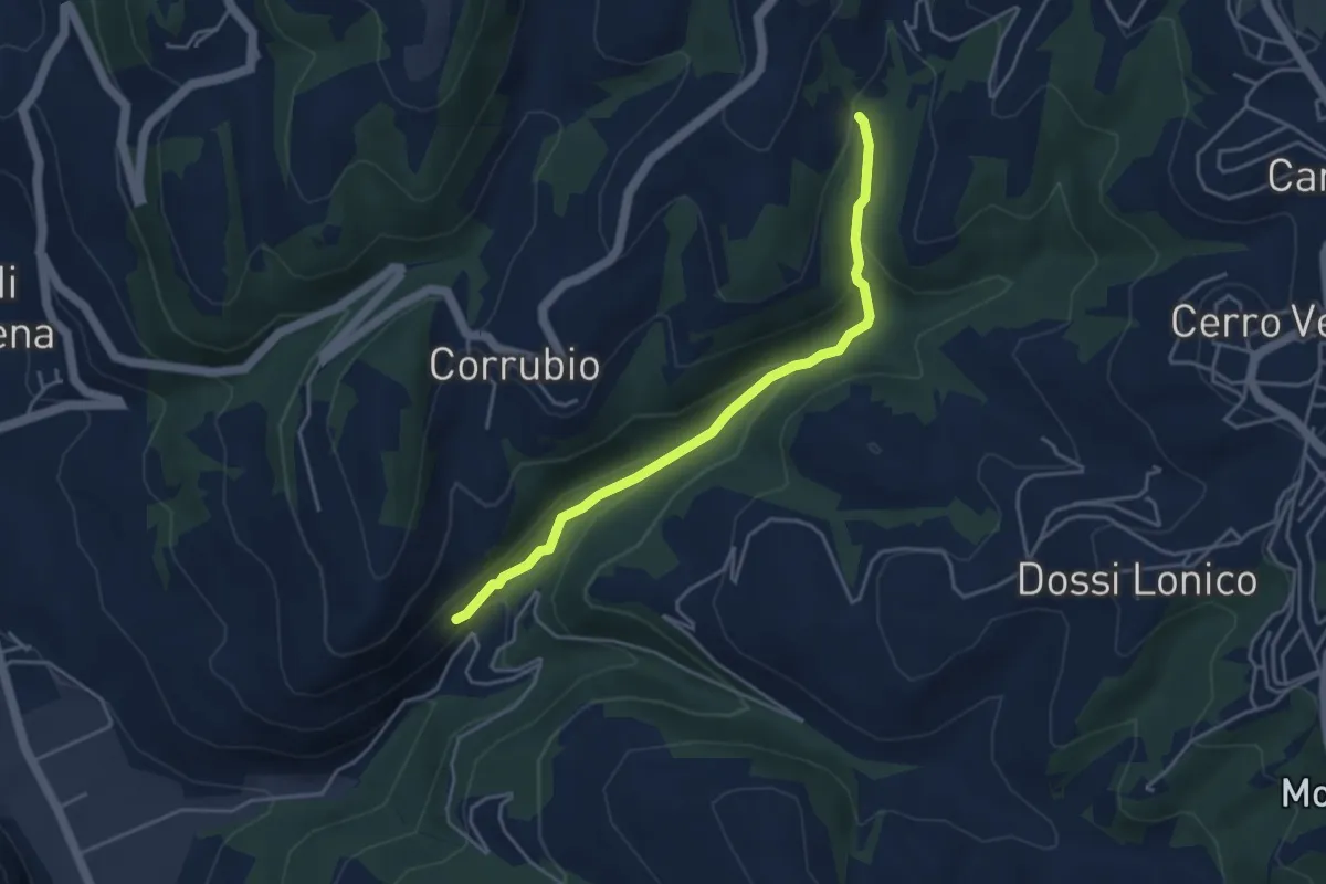
Easy · Trail
Raccordo Sentiero n. 1
4.1 km · ↑ 169 m · 1 h 21 min · 14 km away
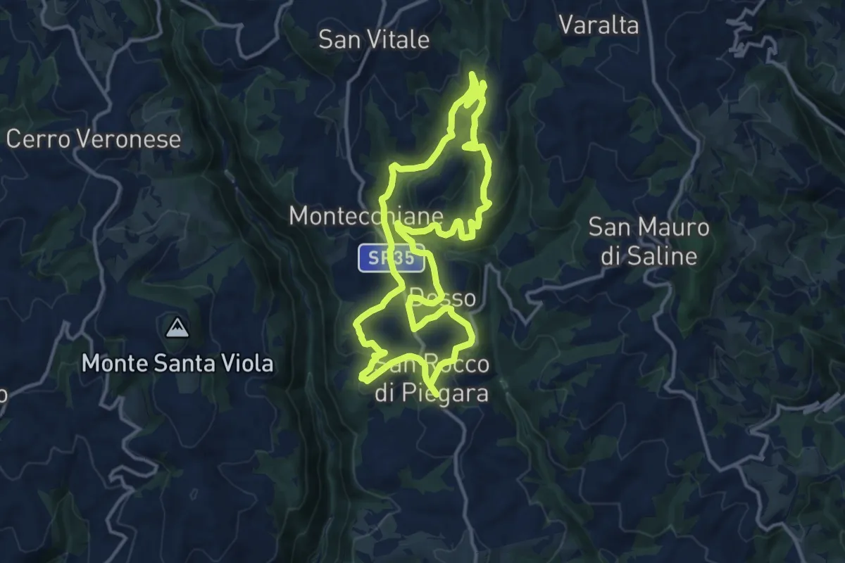
Medium · Summit
Percorso Rosso
12.5 km · ↑ 402 m · 4 h · 15 km away
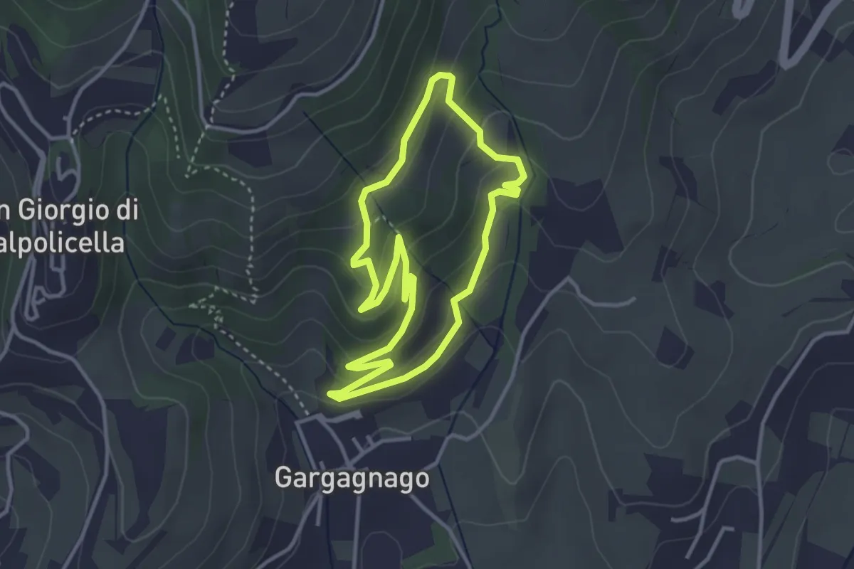
Easy · Trail
green "G" marked trail
3.1 km · ↑ 166 m · 1 h 9 min · 15 km away
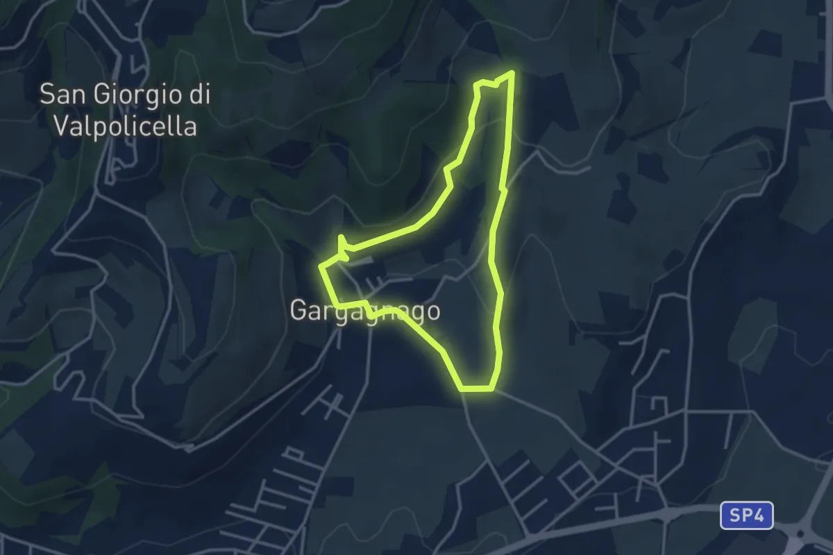
Easy · Trail
yellow "G" marked trail
2.9 km · ↑ 111 m · 59 min · 15 km away
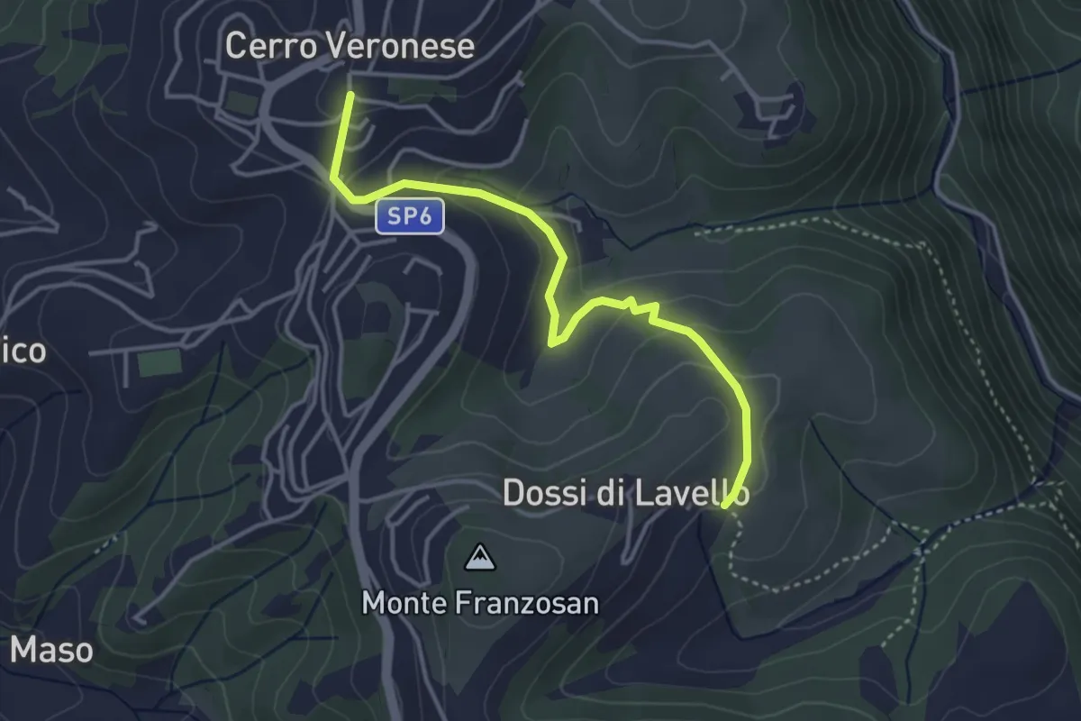
Easy · Trail
Sentiero n. 4
3.8 km · ↑ 149 m · 1 h 13 min · 15 km away