Trails near Vetralla
38 hikes starting within 15 km, nearest first.
Nearest first
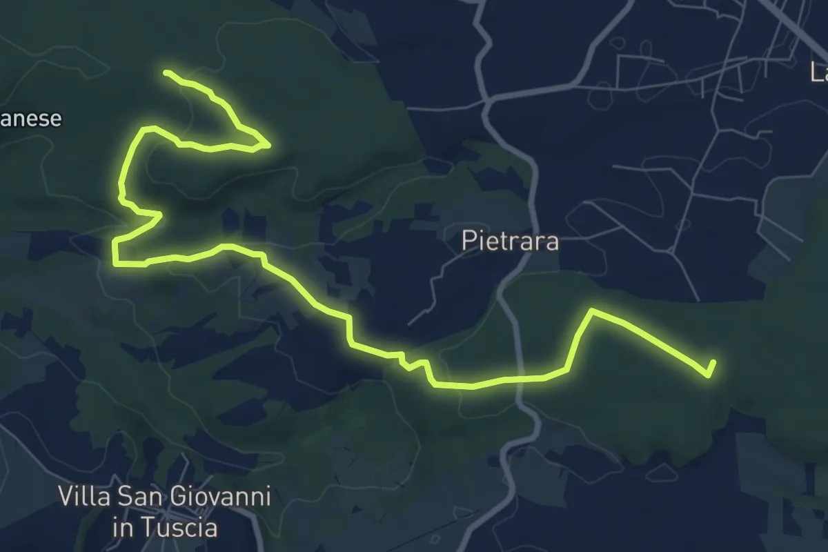
Medium · Trail
Santuario rupestre Demetra
11.2 km · ↑ 214 m · 3 h 6 min · 2 km away
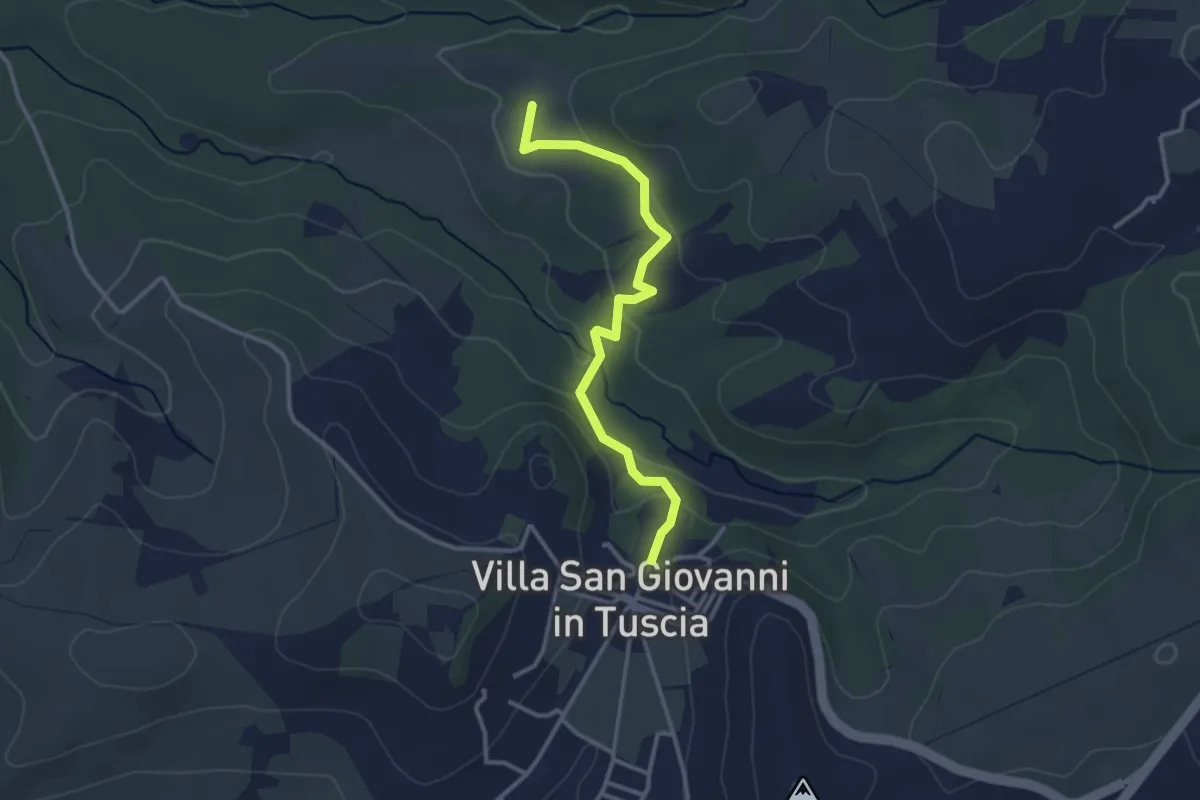
Easy · Trail
Villa San Giovanni in Tuscia – Percorso126A
3.3 km · ↑ 122 m · 1 h 2 min · 3 km away
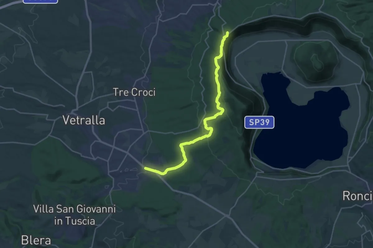
Demanding · Summit
Cammino Tuscia Tappa 4
20.3 km · ↑ 627 m · 6 h 9 min · 3 km away
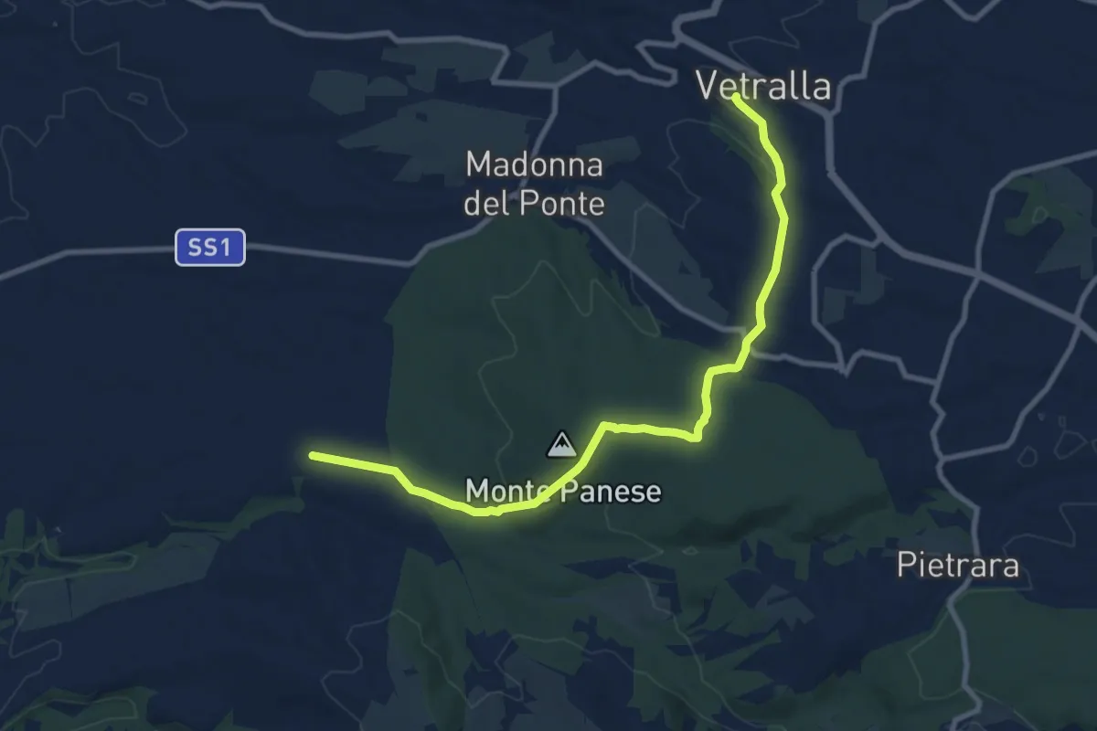
Medium · Trail
Vetralla – Località Dogane
10.4 km · ↑ 187 m · 2 h 51 min · 4 km away
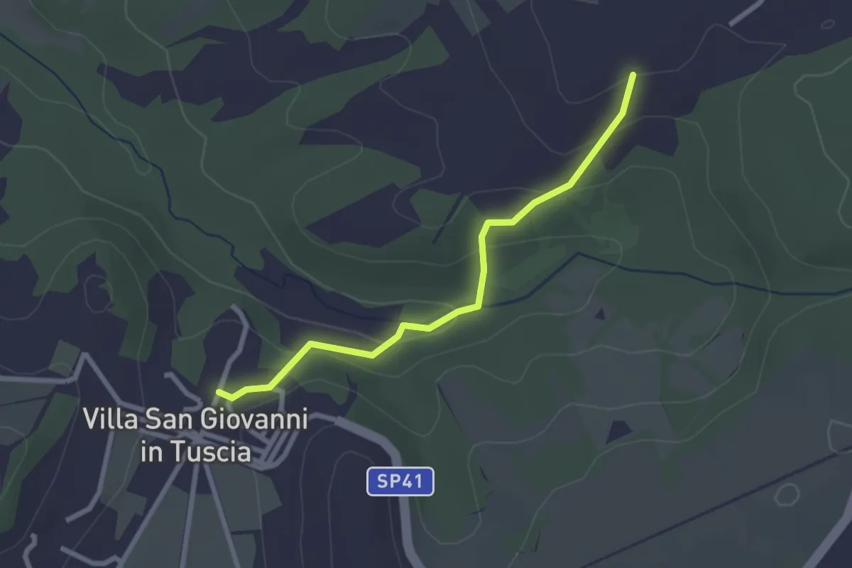
Easy · Trail
Villa San Giovanni in Tuscia – Percorso126A
2.6 km · ↑ 105 m · 50 min · 4 km away
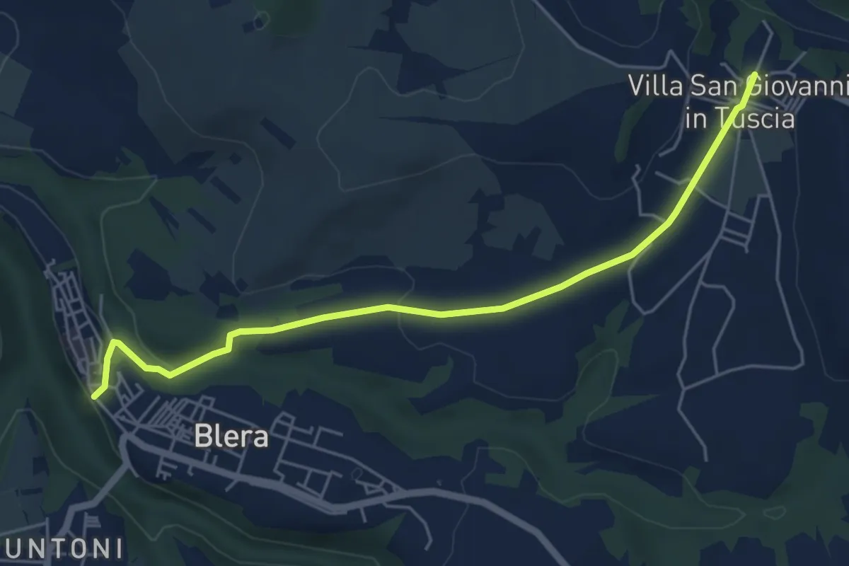
Easy · Trail
Villa San Giovanni in Tuscia – Blera
5.7 km · ↑ 109 m · 1 h 35 min · 4 km away
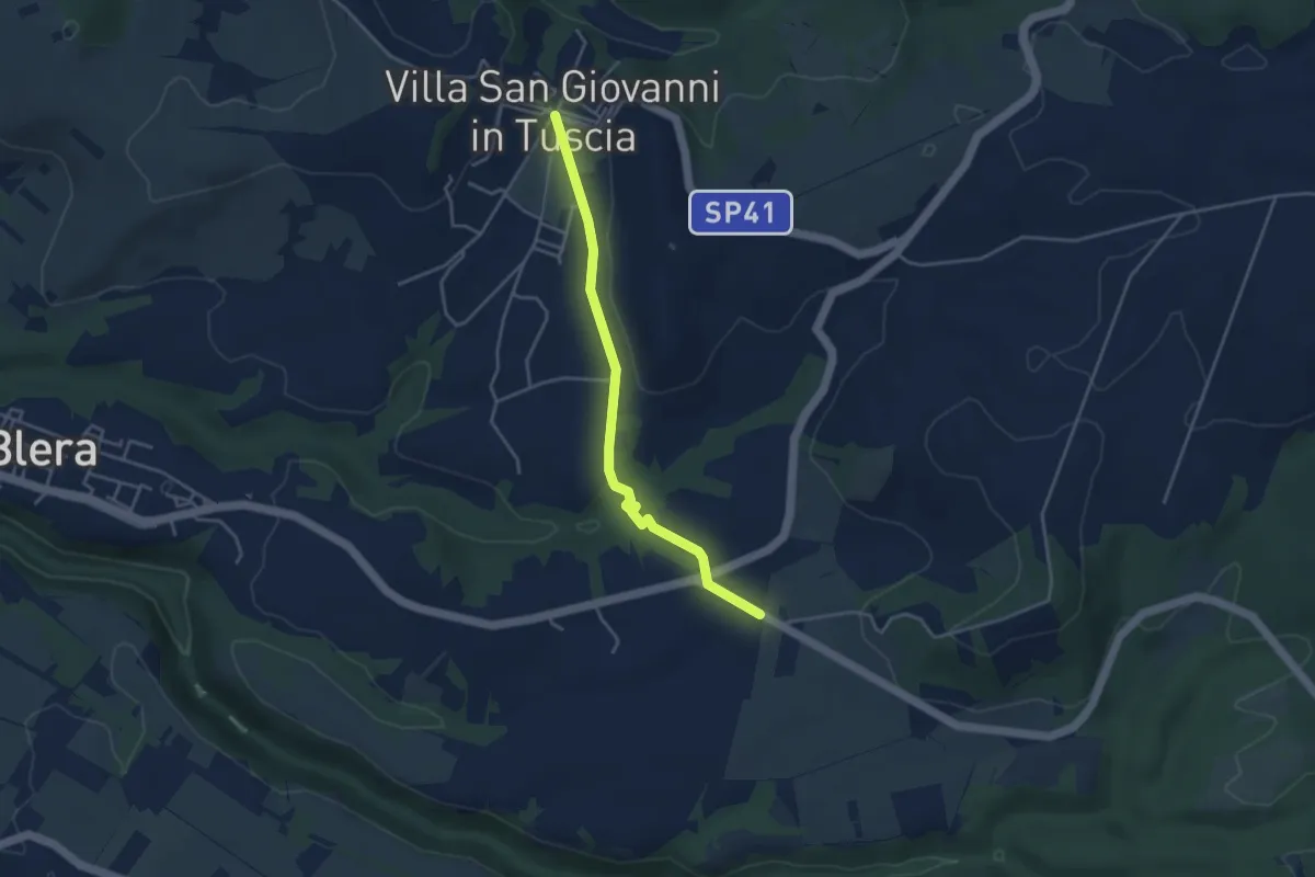
Easy · Trail
Villa San Giovanni in Tuscia – Valle Cappellana
4.1 km · ↑ 54 m · 1 h 5 min · 4 km away
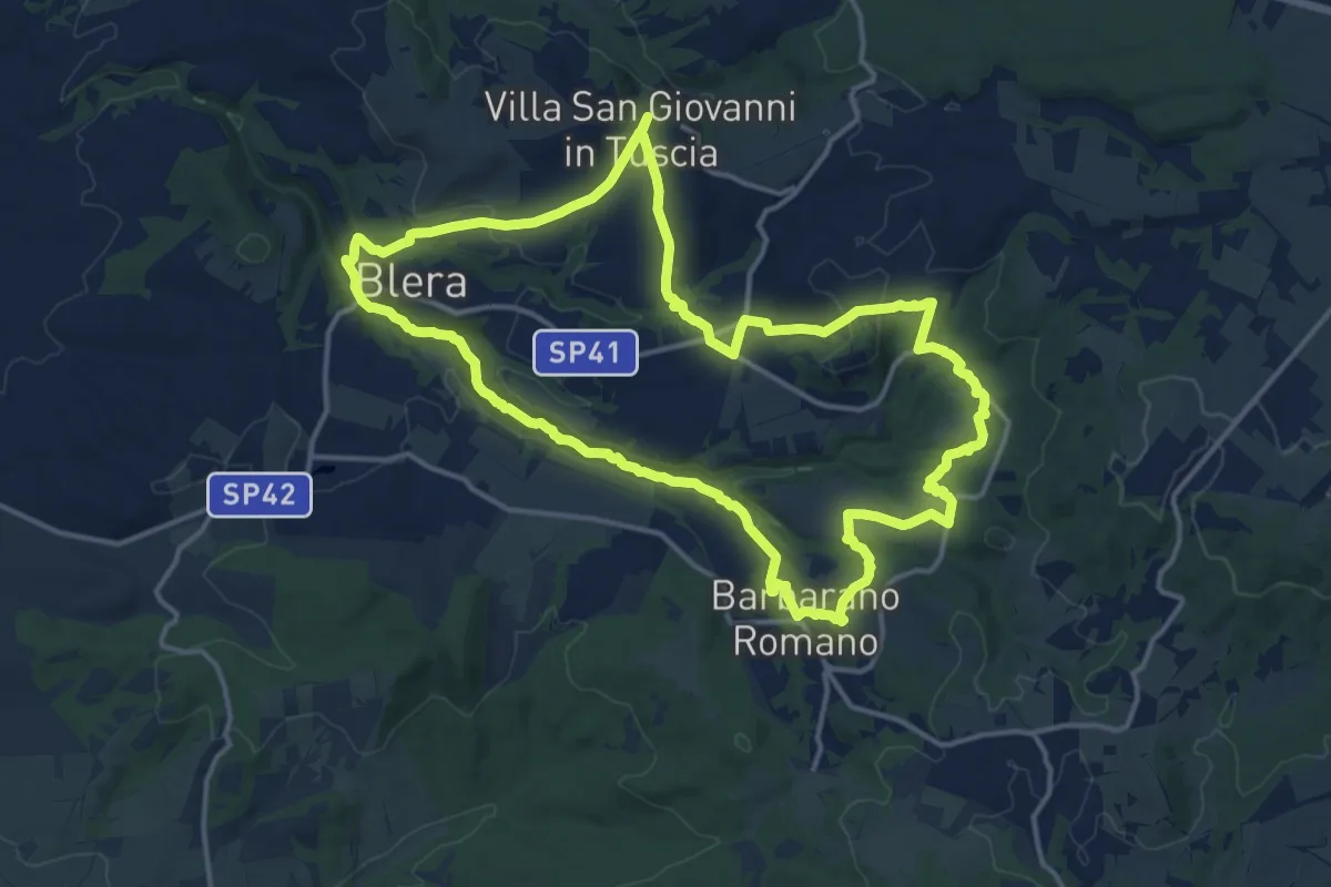
Medium · Trail
Cammino dei tre villaggi
16.5 km · ↑ 301 m · 4 h 46 min · 6 km away
Medium · Trail
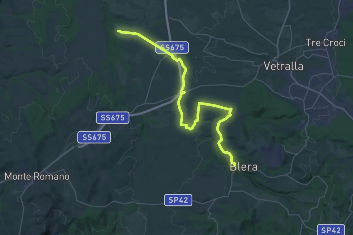
Via Clodia Stage 3
15.7 km · ↑ 111 m · 4 h 13 min · 6 km away
Easy · Trail
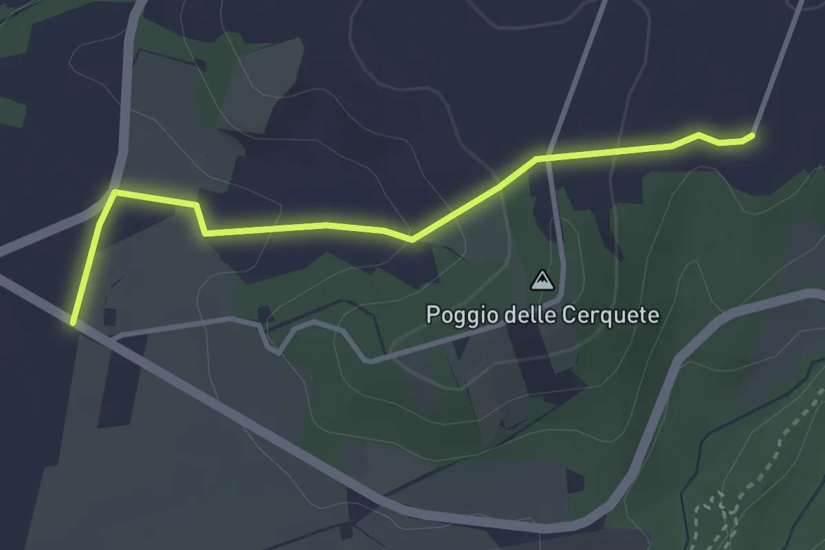
Percorso 103 – Forra Biedano seconda mola
3.3 km · ↑ 102 m · 1 h · 6 km away
Medium · Trail
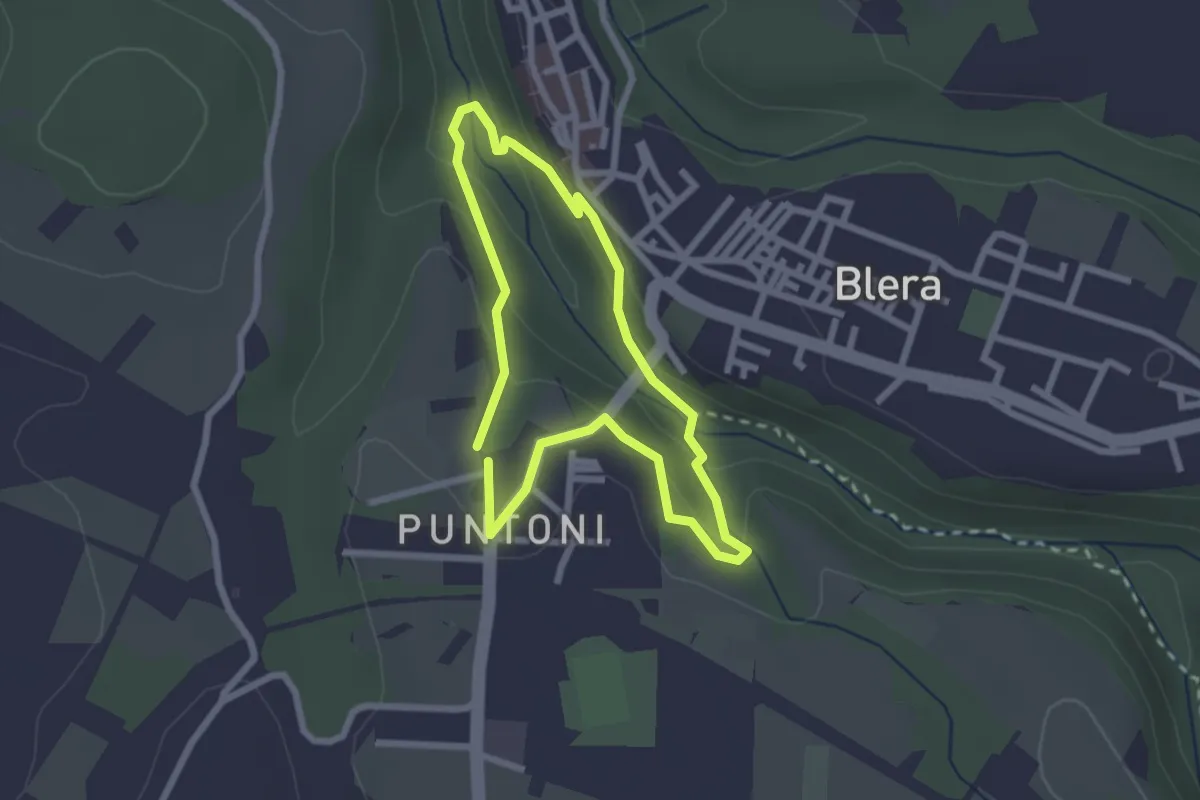
Cava Buia
2.3 km · ↑ 89 m · 45 min · 6 km away
Easy · Trail
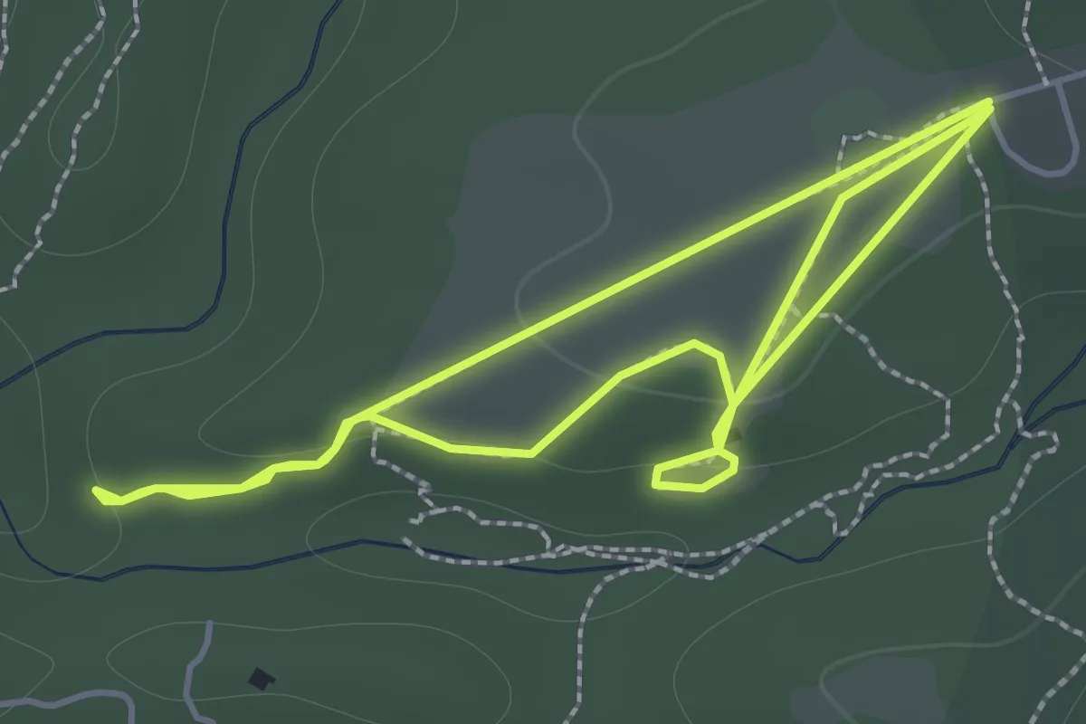
Ingresso Caiolo – Ingresso Caiolo
1.7 km · ↑ 32 m · 31 min · 7 km away
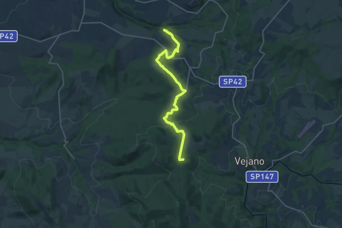
Medium · Summit
Via Clodia Stage 2
15.0 km · ↑ 376 m · 4 h 22 min · 7 km away
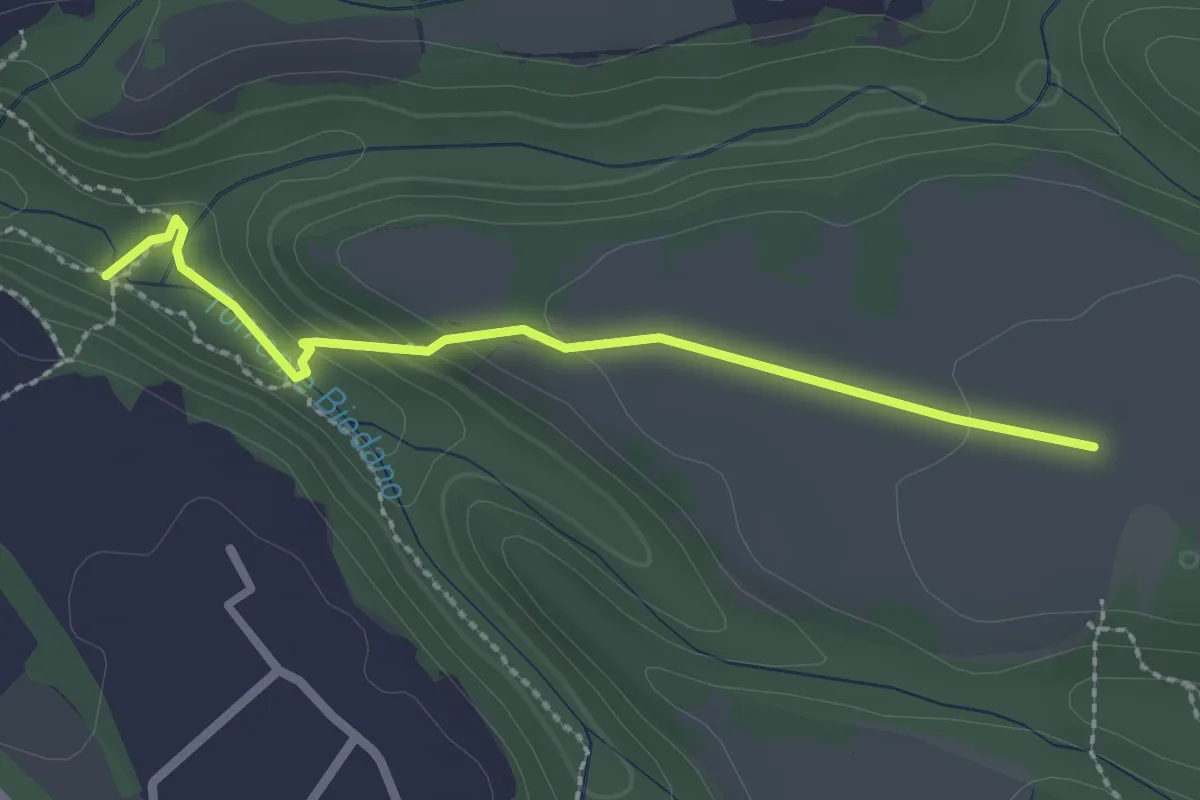
Easy · Trail
Serignano-Forra Biedano seconda mola
2.5 km · ↑ 62 m · 43 min · 7 km away
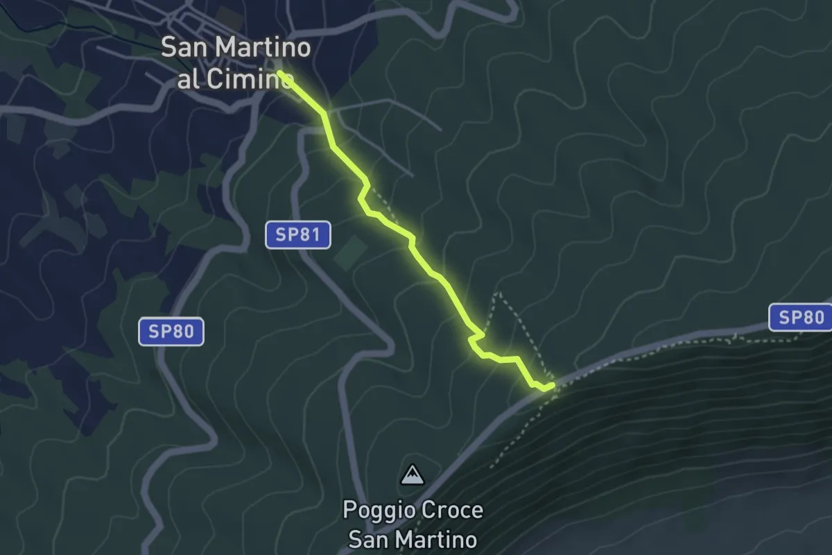
Medium · Trail
Strada di mezzo – San Martino al Cimino
3.2 km · ↑ 209 m · 1 h 12 min · 8 km away
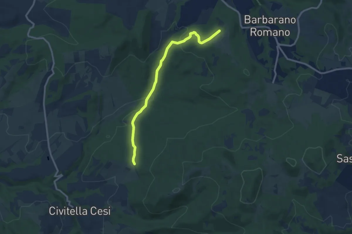
Easy · Trail
Località Bandita – Località Quarto
7.9 km · ↑ 212 m · 2 h 19 min · 8 km away
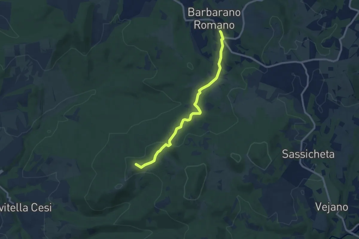
Easy · Summit
Cammino Tuscia Tappa 6
7.6 km · ↑ 205 m · 2 h 14 min · 8 km away
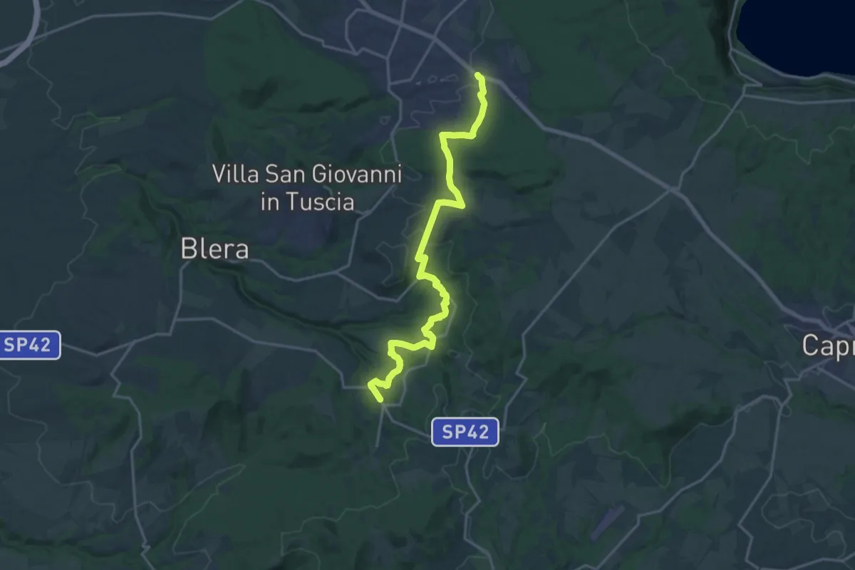
Demanding · Trail
Cammino Tuscia Tappa 5
19.6 km · ↑ 352 m · 5 h 24 min · 8 km away
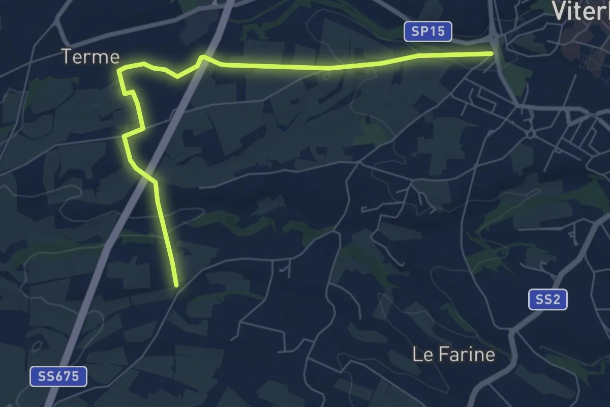
Easy · Pilgrim path
Via Francigena - Variante ponte Camillaro
4.0 km · ↑ 51 m · 1 h 6 min · 9 km away
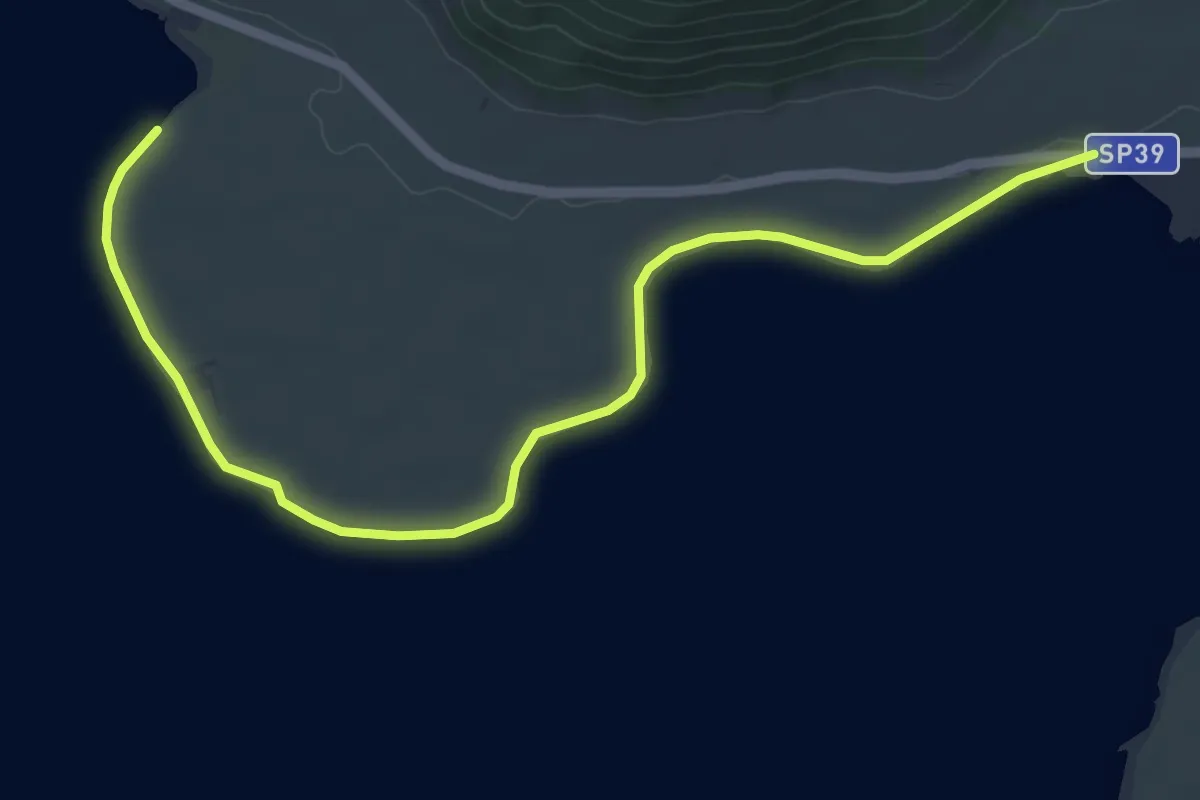
Easy · Trail
Sentiero de Le Prove
6.9 km · ↑ 4 m · 1 h 38 min · 11 km away
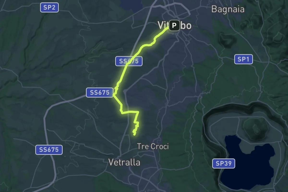
Medium · Pilgrim path
Via Francigena - Variante Vetralla
13.6 km · ↑ 164 m · 3 h 46 min · 11 km away
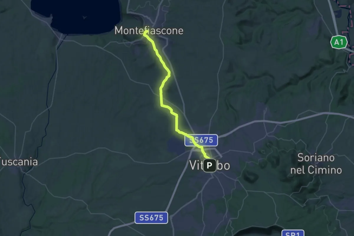
Demanding · Summit
Romea Strata in Italia - Tappa RSIT43
35.8 km · ↑ 537 m · 9 h 37 min · 11 km away
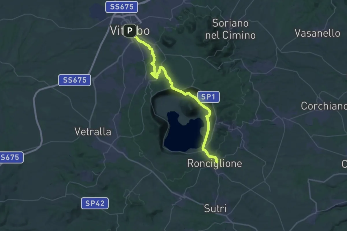
Demanding · Trail
Romea Strata in Italia - Tappa RSIT44
23.2 km · ↑ 618 m · 7 h 6 min · 11 km away
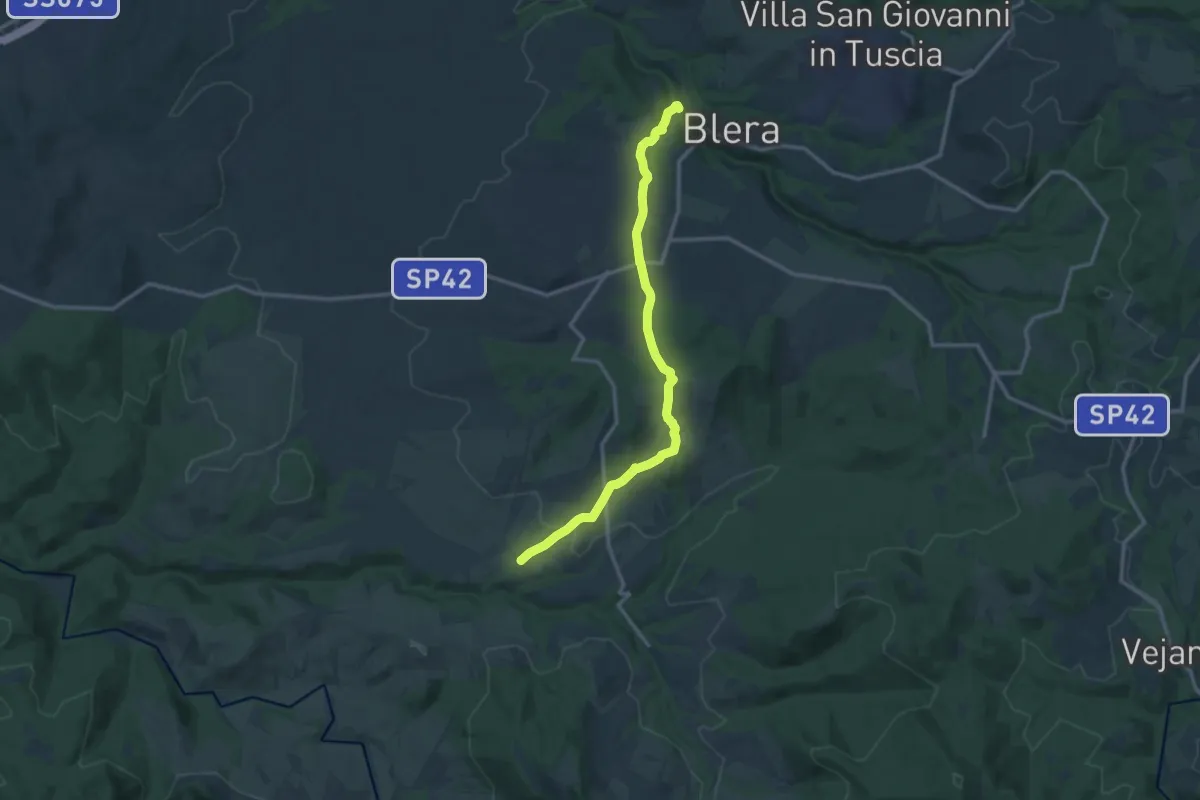
Medium · Trail
Blera – Necropoli San Giovenale
13.9 km · ↑ 271 m · 3 h 53 min · 11 km away
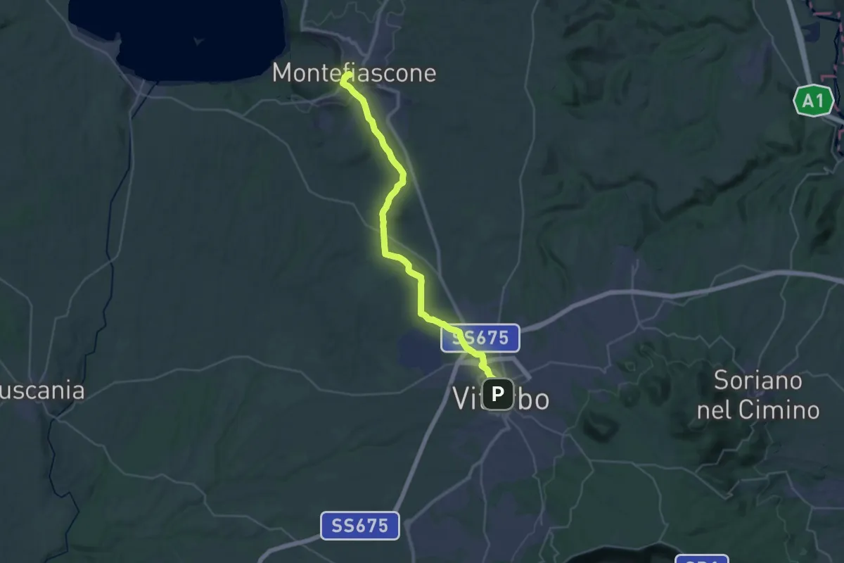
Demanding · Summit
Montefiascone – Viterbo
35.4 km · ↑ 519 m · 9 h 30 min · 12 km away
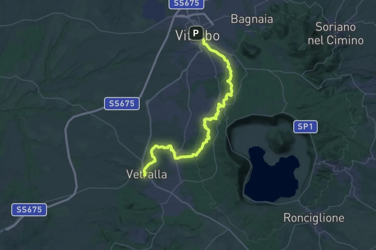
Demanding · Trail
Viterbo – Vetralla
21.8 km · ↑ 519 m · 6 h 36 min · 12 km away
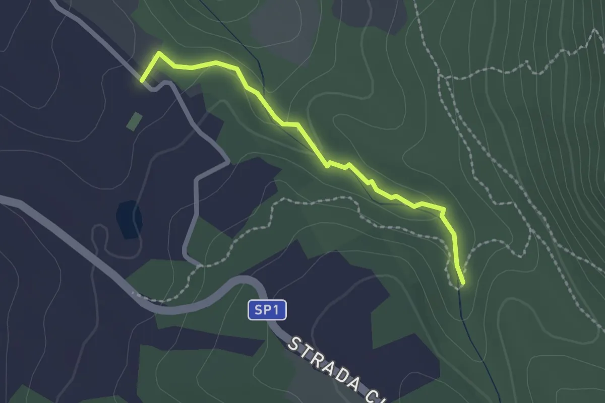
Easy · Trail
Forra del fosso Luparo
2.0 km · ↑ 50 m · 35 min · 12 km away
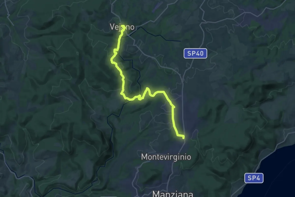
Demanding · Trail
Via Clodia Stage 1
23.8 km · ↑ 487 m · 6 h 41 min · 12 km away
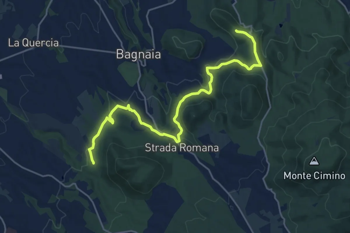
Medium · Trail
Sentiero dei 4 monti
16.1 km · ↑ 383 m · 4 h 38 min · 12 km away
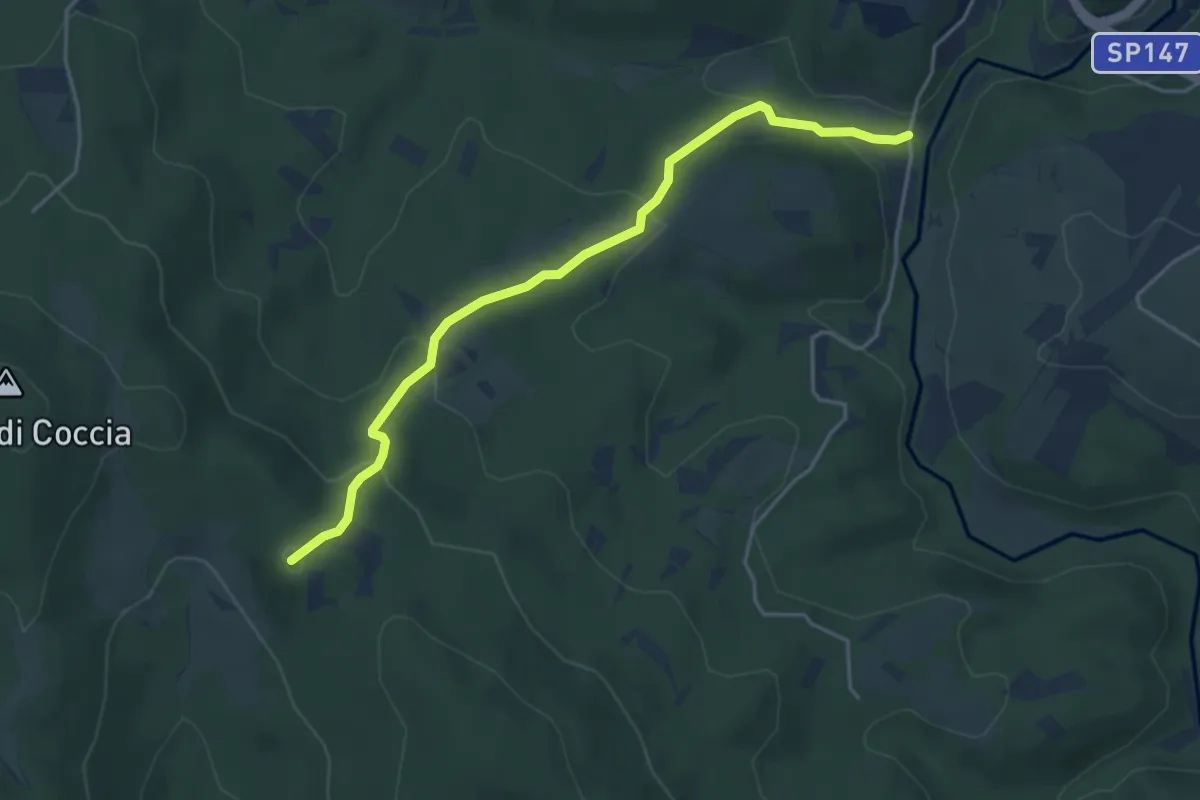
Easy · Summit
Bivio 139-139E – Bivio 105-139
4.7 km · ↑ 193 m · 1 h 32 min · 13 km away
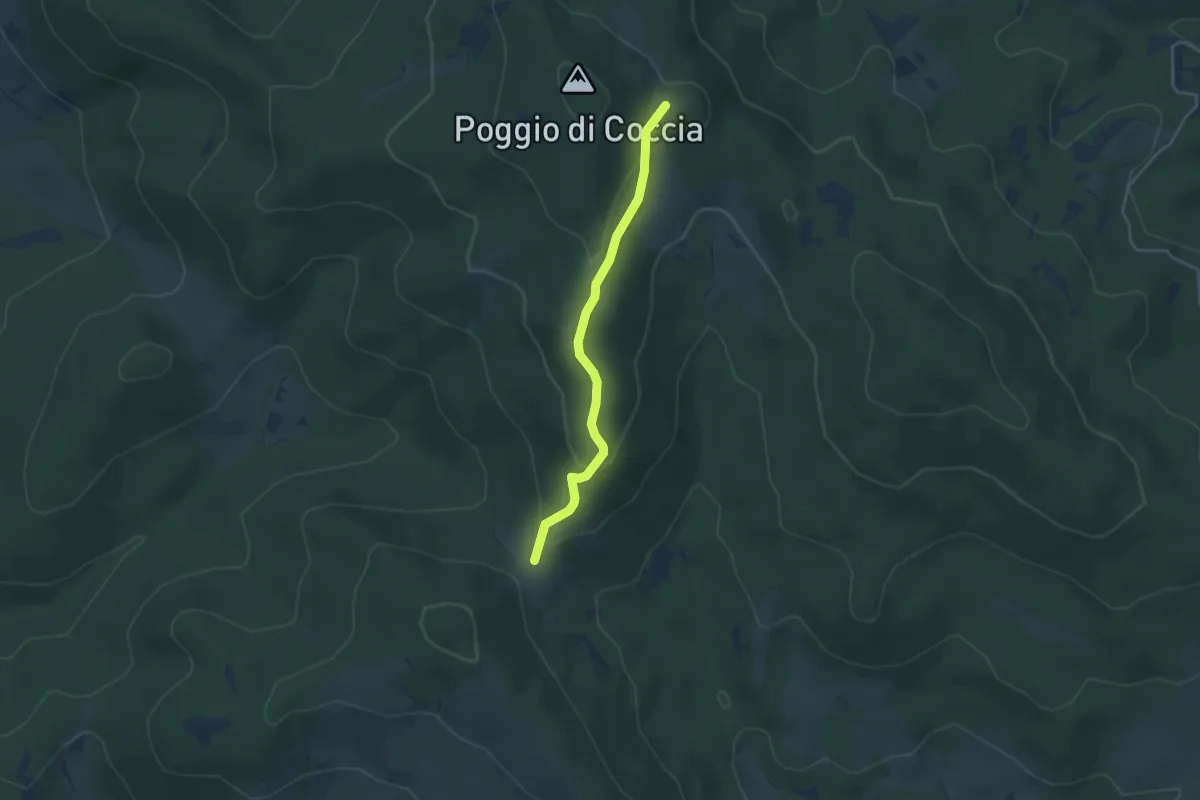
Easy · Trail
Sentiero 139 – Ara del Marmo
3.8 km · ↑ 126 m · 1 h 10 min · 13 km away
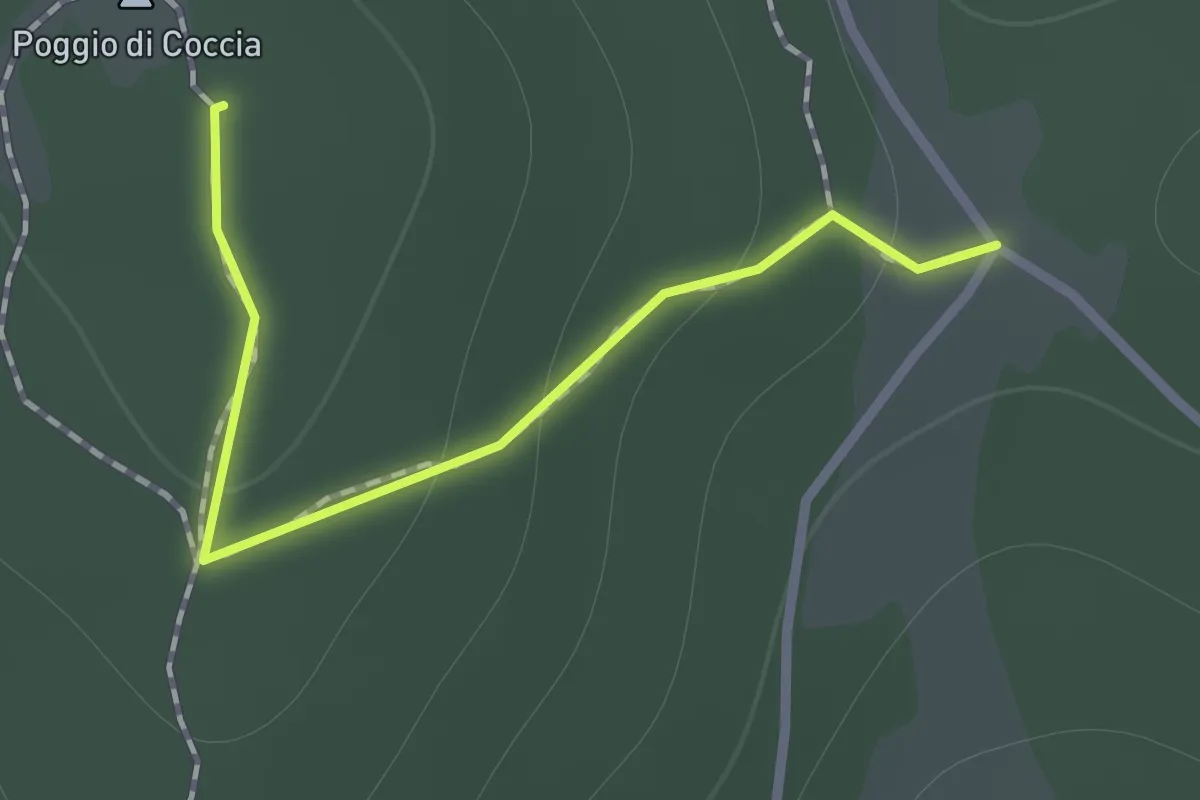
Easy · Summit
Poggio di Coccia
1.0 km · ↑ 45 m · 20 min · 13 km away
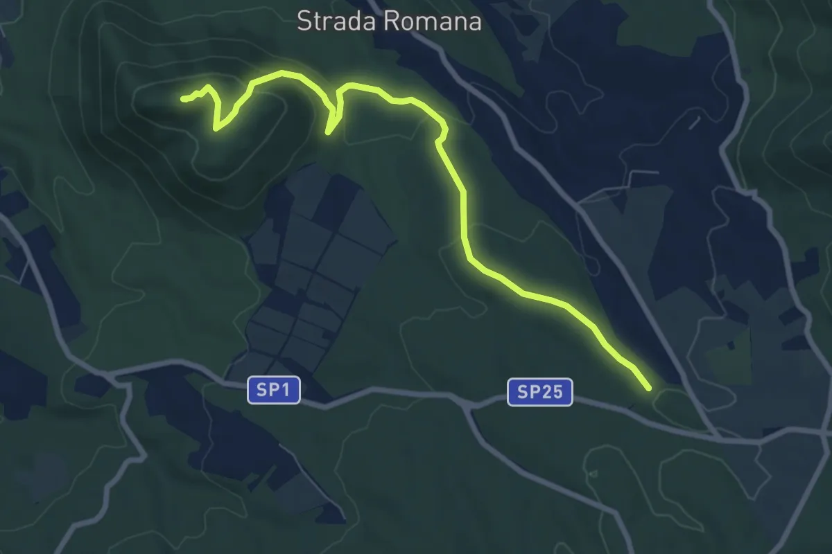
Medium · Summit
Sentiero Giuseppe Lupattelli
8.2 km · ↑ 287 m · 2 h 34 min · 13 km away
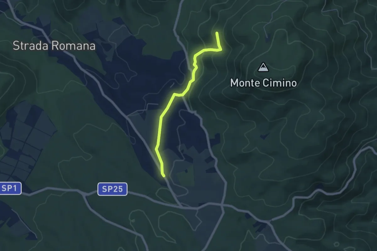
Easy · Trail
Faggeta Soriano nel Cimino – Strada Romana
5.0 km · ↑ 149 m · 1 h 30 min · 13 km away
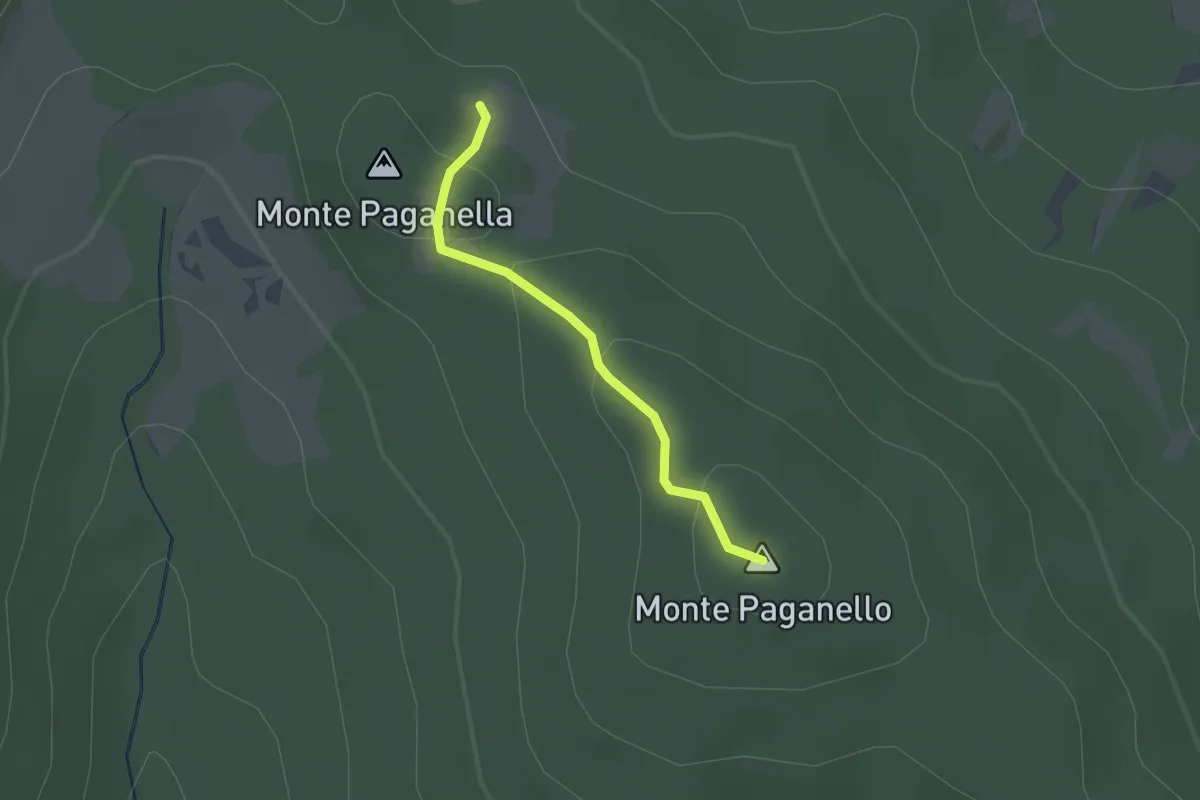
Easy · Summit
Monti Paganelli
1.7 km · ↑ 56 m · 31 min · 13 km away
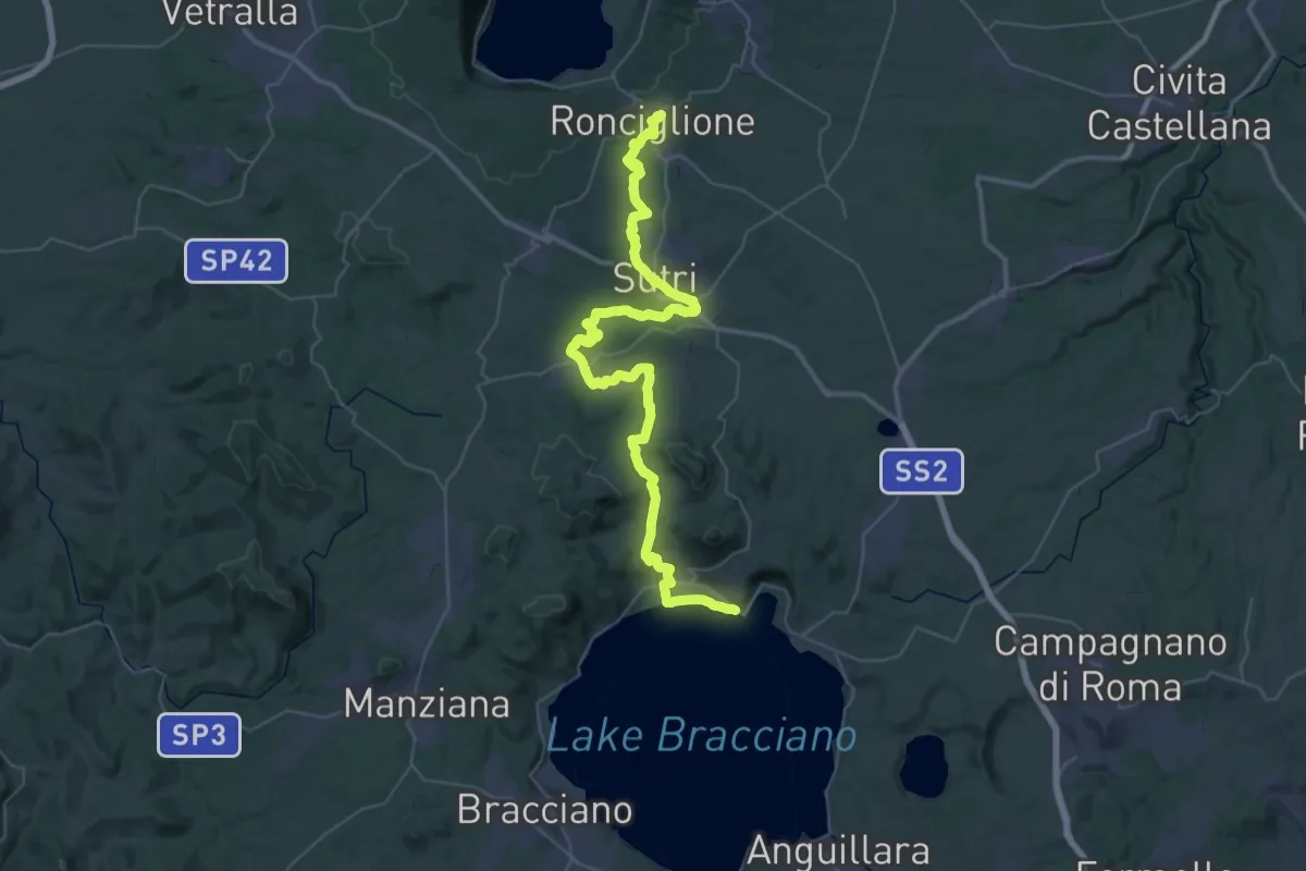
Demanding · Trail
Romea Strata in Italia - Tappa RSIT45
29.3 km · ↑ 372 m · 8 h 16 min · 14 km away
Demanding · Trail
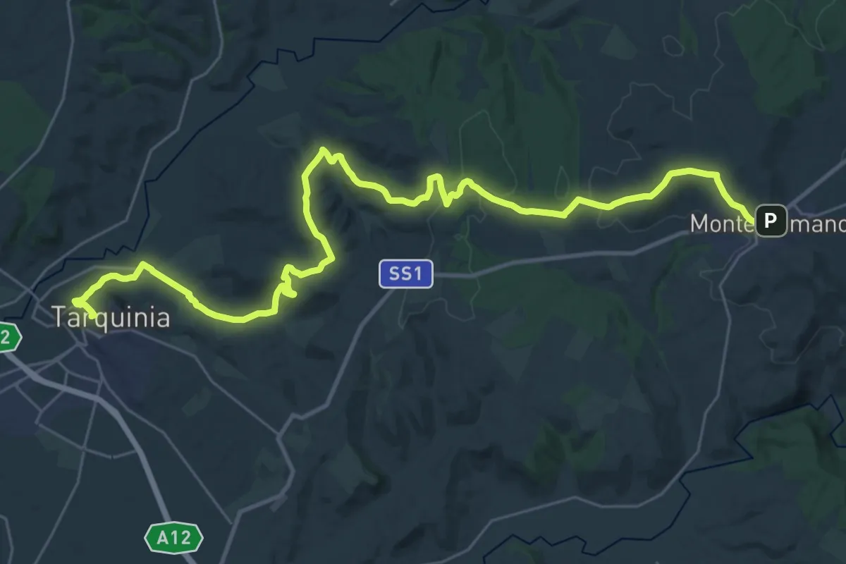
Cammino Tuscia Tappa 8
19.4 km · ↑ 355 m · 5 h 41 min · 14 km away
Demanding · Trail
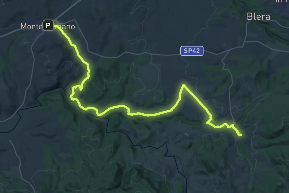
Cammino Tuscia Tappa 7
18.7 km · ↑ 290 m · 5 h 20 min · 14 km away