Trails near Vicenza
64 hikes starting within 15 km, nearest first.
Nearest first, page 2 of 2
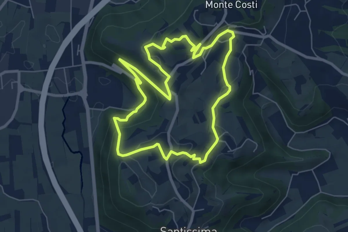
Easy · Trail
06-Sentiero Giaragù e priare di S. Urbano
5.7 km · ↑ 217 m · 1 h 53 min · 12 km away
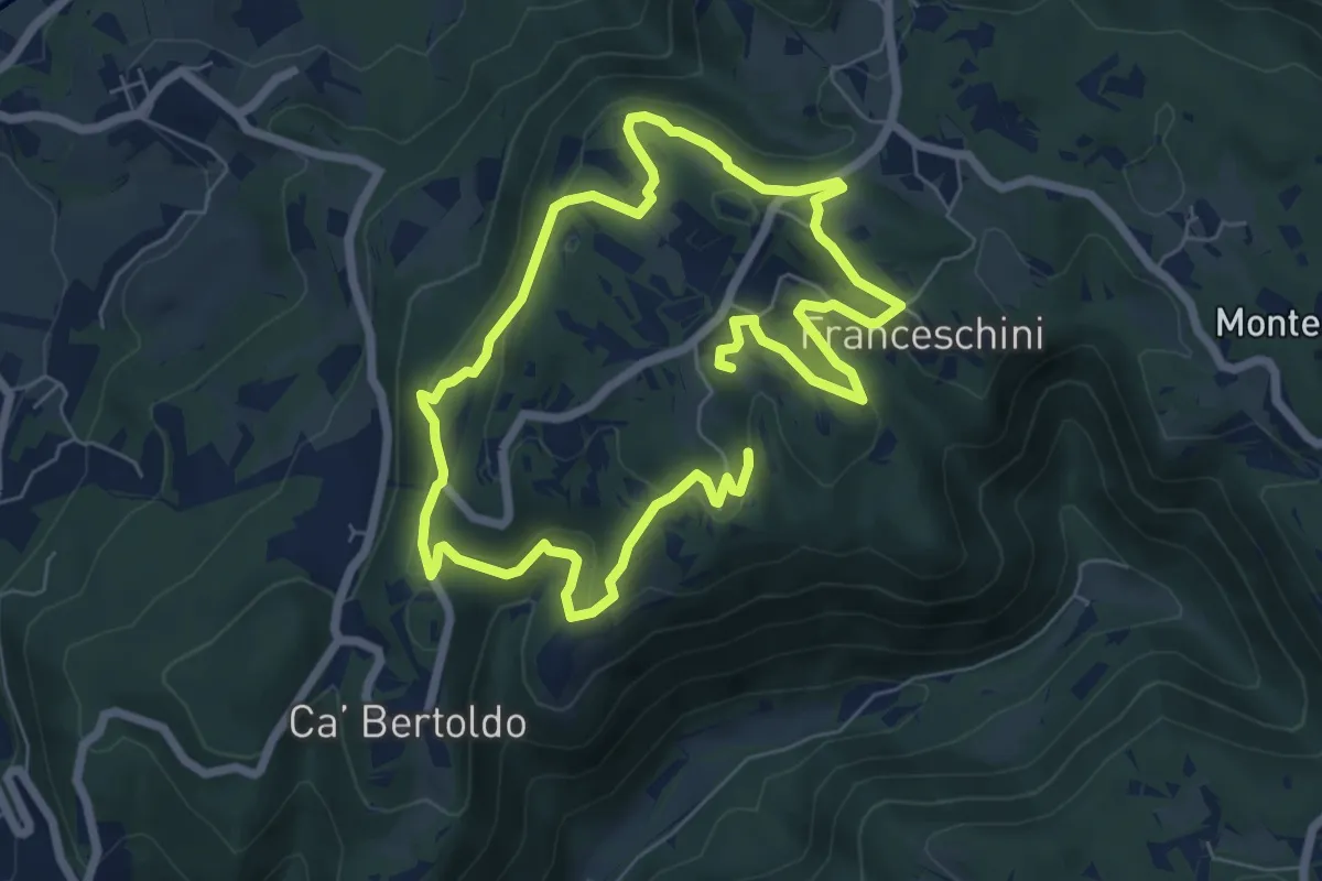
Medium · Trail
Sentiero di San Gottardo
12.1 km · ↑ 378 m · 3 h 41 min · 12 km away
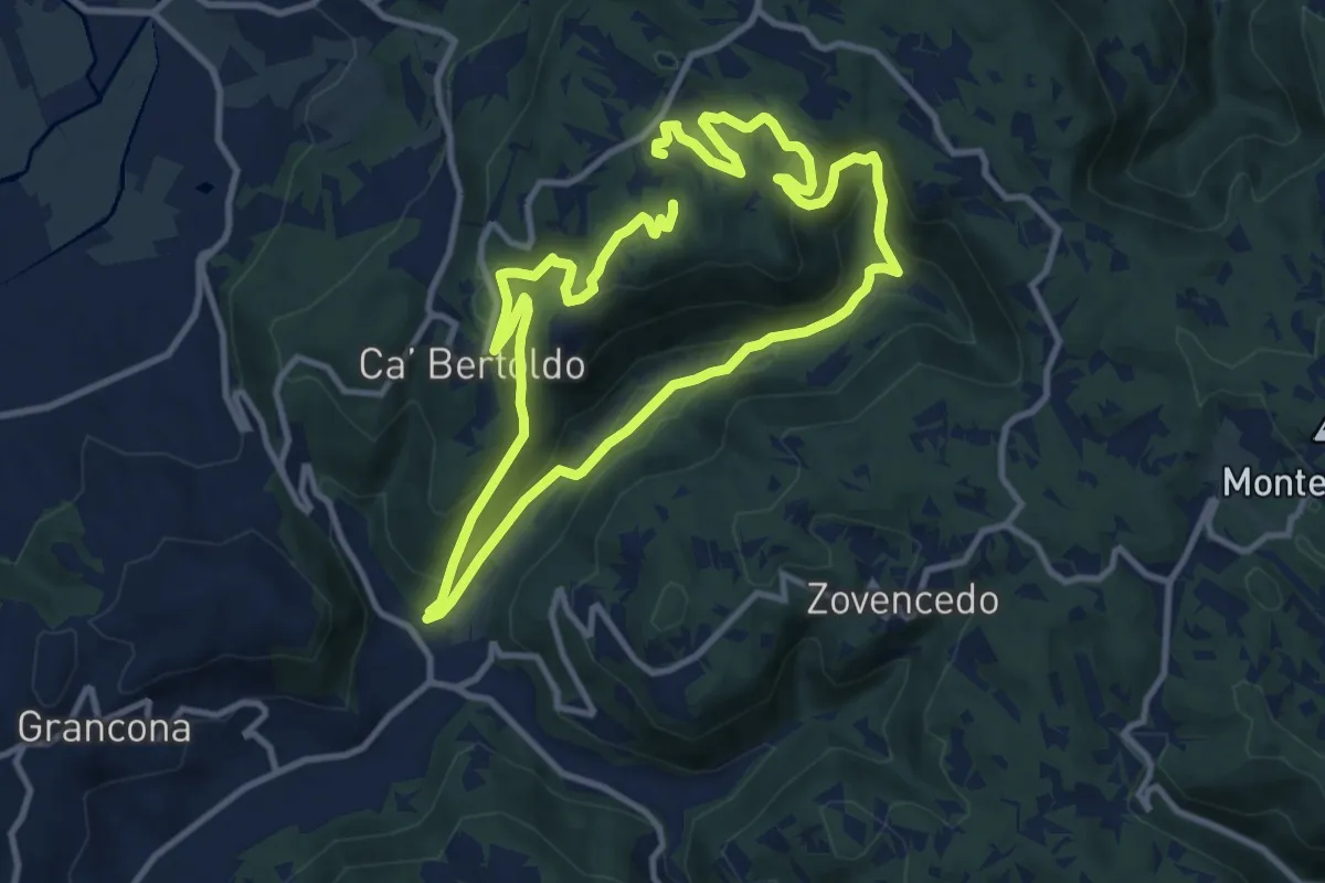
Demanding · Trail
Sentiero delle Fontane di Zovencedo
20.8 km · ↑ 849 m · 6 h 45 min · 12 km away
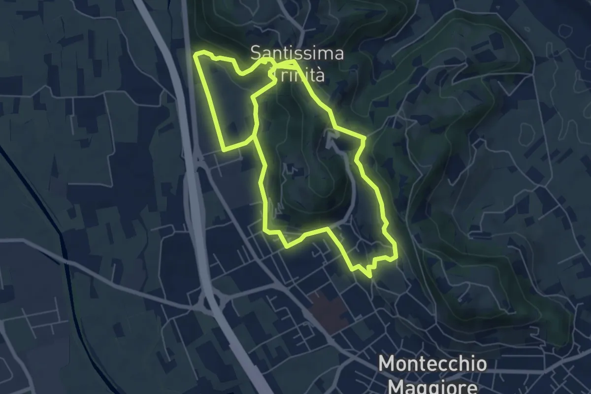
Easy · Summit
03-Strada Carpiana e valle San Clemente
6.4 km · ↑ 305 m · 2 h 13 min · 13 km away
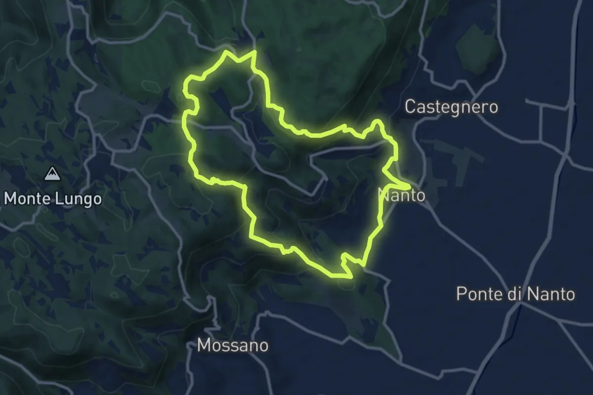
Medium · Summit
Sentiero dei Monti di Nanto
9.5 km · ↑ 452 m · 3 h 21 min · 13 km away
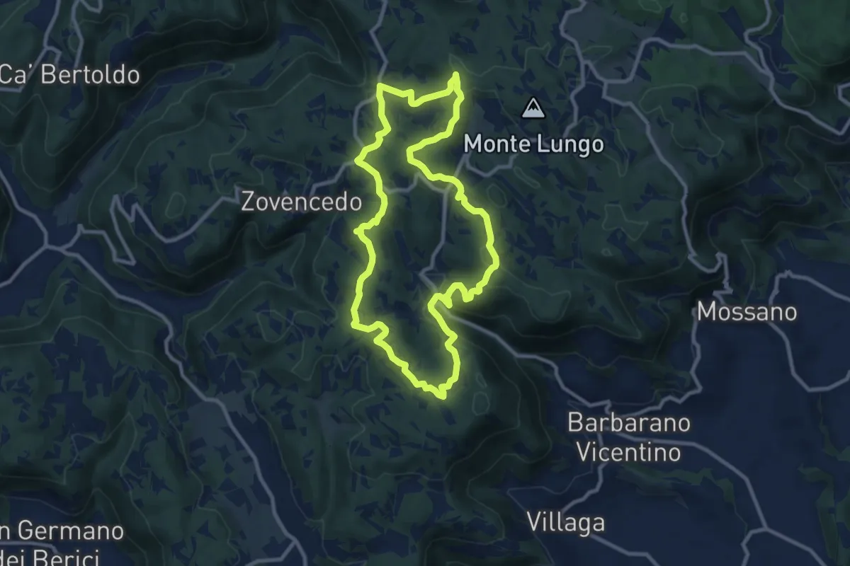
Medium · Summit
Sentiero delle Fontanelle
9.6 km · ↑ 302 m · 3 h 4 min · 13 km away
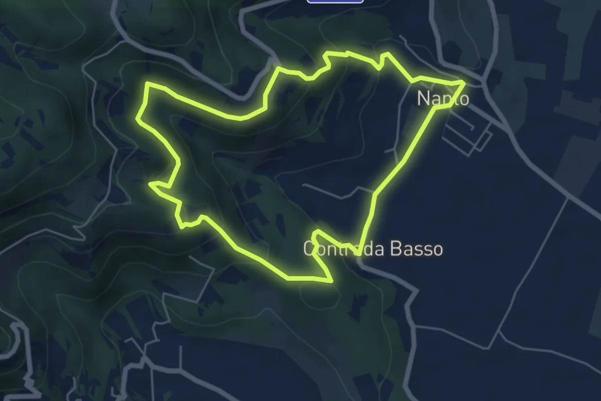
Medium · Trail
Sentiero degli Ulivi
5.3 km · ↑ 250 m · 1 h 52 min · 13 km away
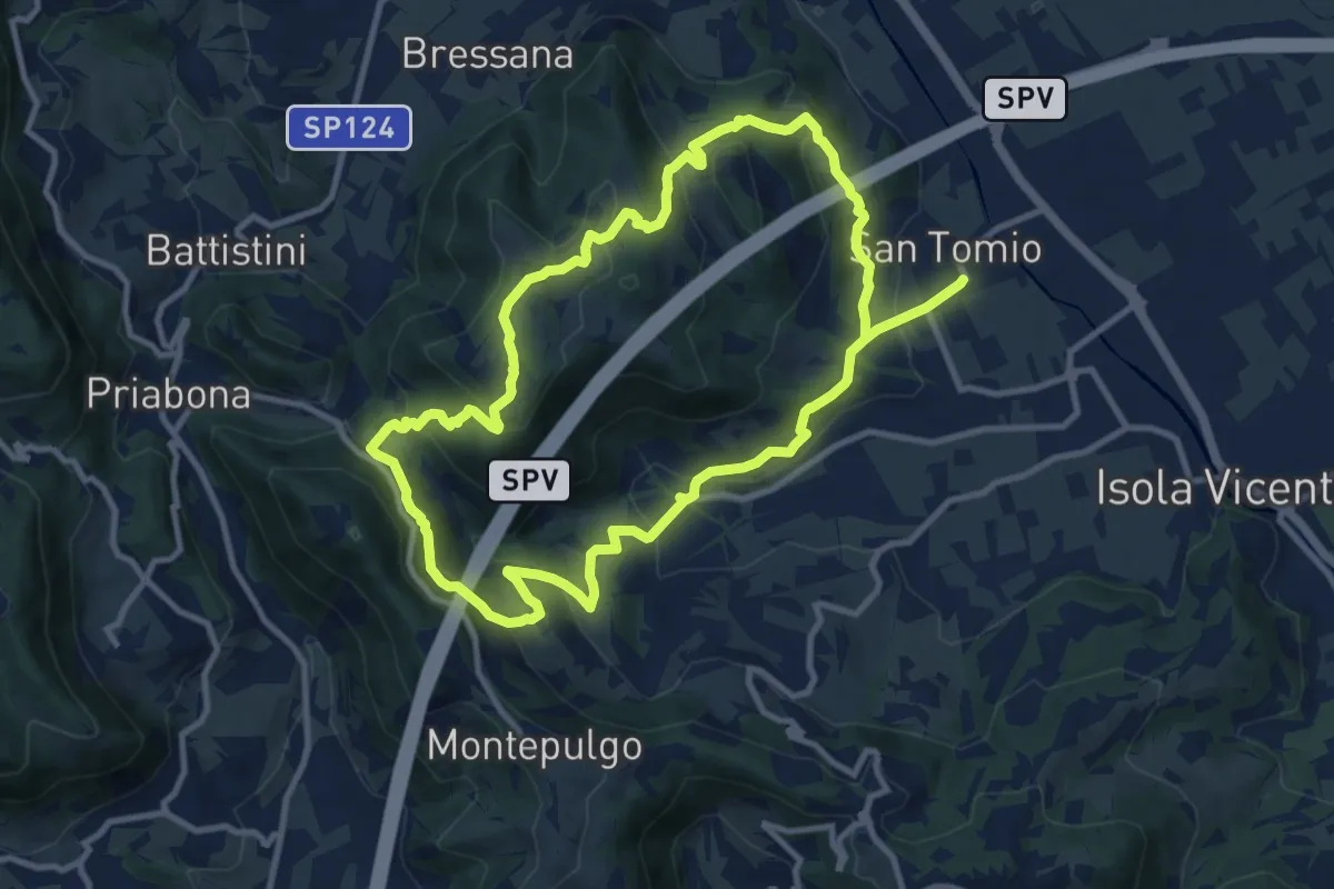
Medium · Trail
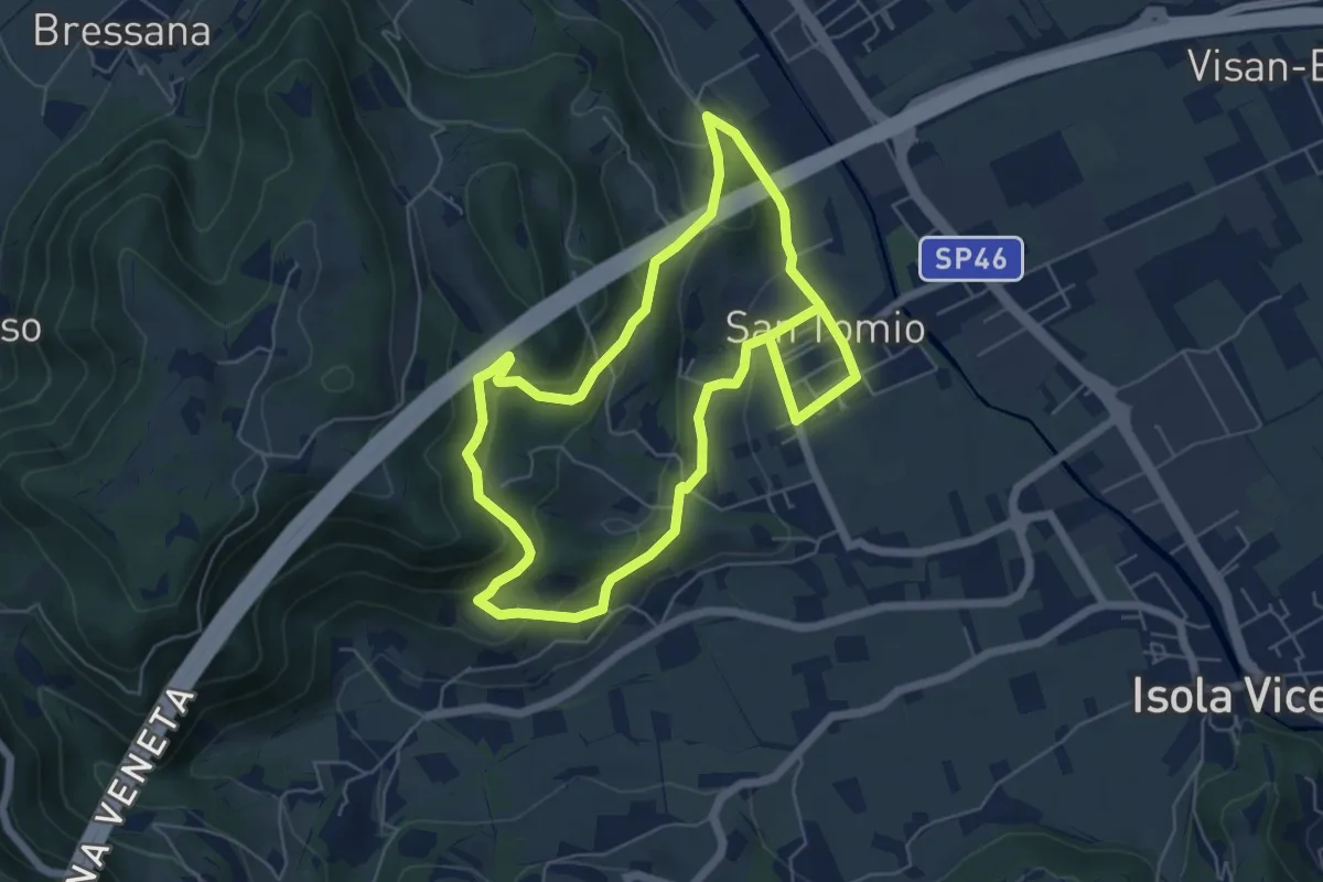
Giro panoramico del Monte Pian
10.4 km · ↑ 452 m · 3 h 34 min · 14 km away
Medium · Trail
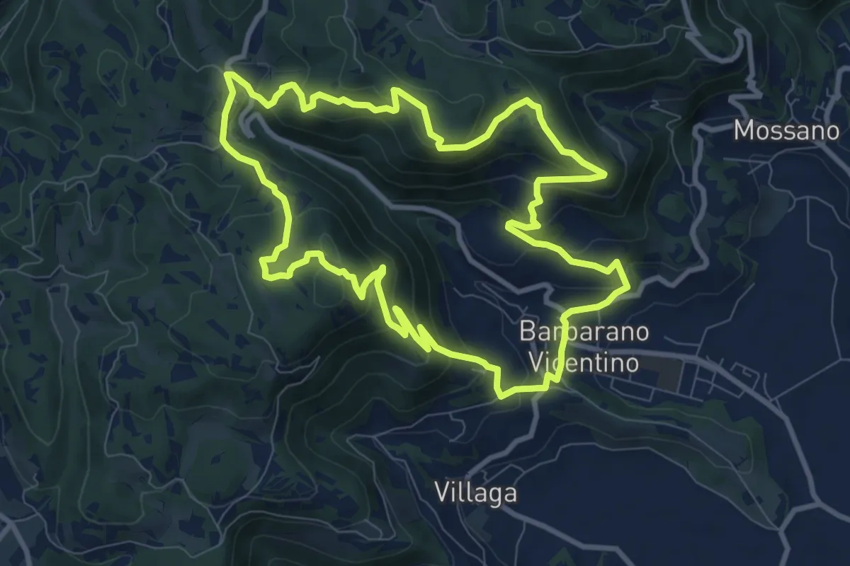
Sentiero degli Asini
11.8 km · ↑ 411 m · 3 h 41 min · 14 km away
Medium · Summit
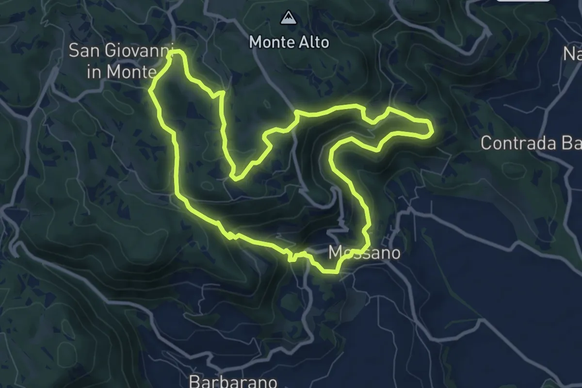
Sentiero della Cengia
9.4 km · ↑ 500 m · 3 h 25 min · 14 km away
Medium · Summit
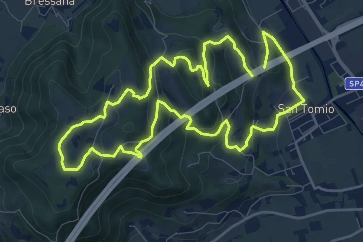
Sentiero di San Bernardino
8.9 km · ↑ 389 m · 3 h 3 min · 14 km away
Medium · Trail
Primo sentiero della Memoria (o Dei Capitelli)
8.4 km · ↑ 358 m · 2 h 51 min · 15 km away
Medium · Summit
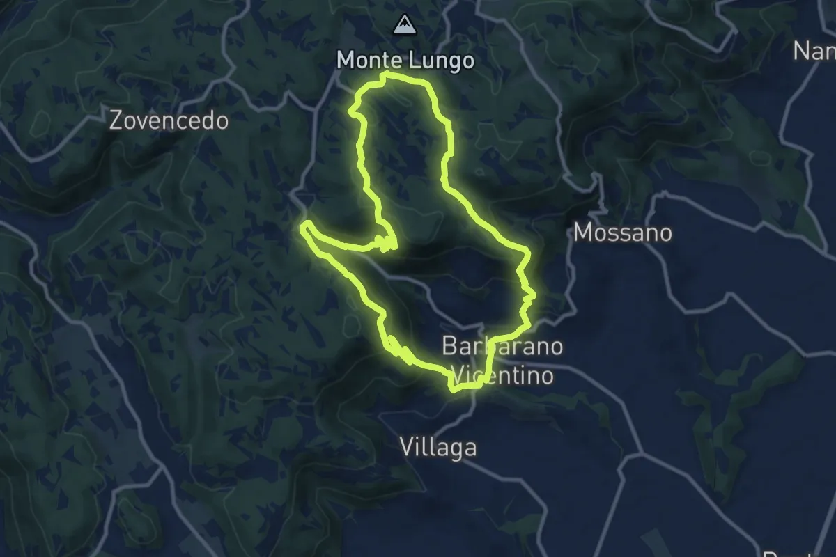
Sentiero della Scudelletta
10.0 km · ↑ 558 m · 3 h 43 min · 15 km away
Demanding · Trail
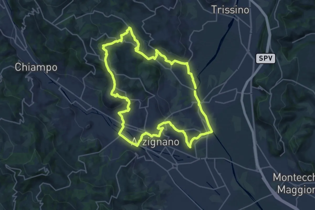
Sentiero Giallo
18.5 km · ↑ 457 m · 5 h 37 min · 15 km away
Easy · Trail
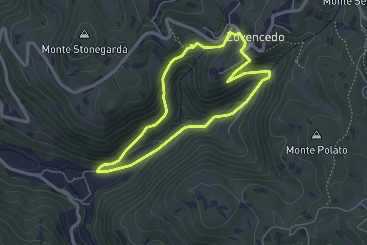
Itinerario pedonale 3 di Corte Calto - Zovencedo
3.7 km · ↑ 201 m · 1 h 22 min · 15 km away
Medium · Trail
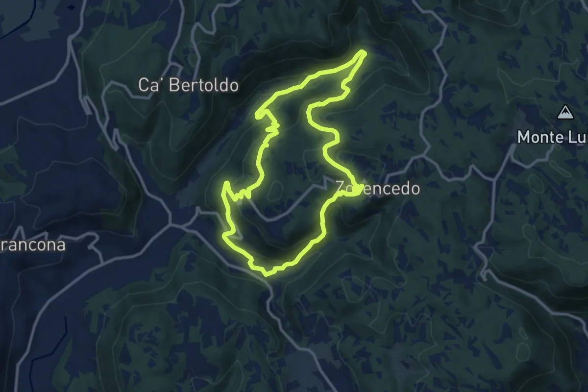
Life+ Zovencedo Calto San Gottardo
9.2 km · ↑ 449 m · 3 h 16 min · 15 km away