Trails near Vignola
73 hikes starting within 15 km, nearest first.
Nearest first, page 2 of 2
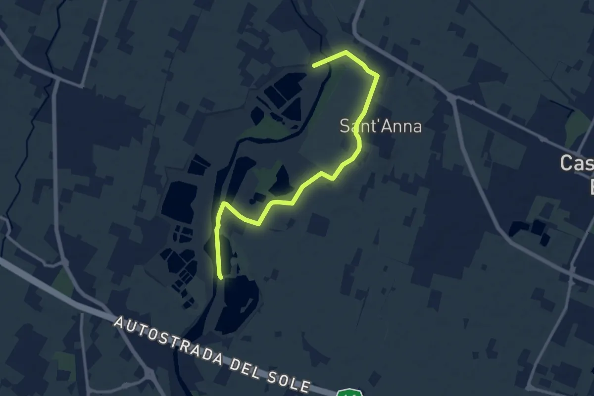
Medium · Trail
Percorso fluviale della Cassa di Espansione Fiume Panaro
9.6 km · ↑ 4 m · 2 h 17 min · 12 km away
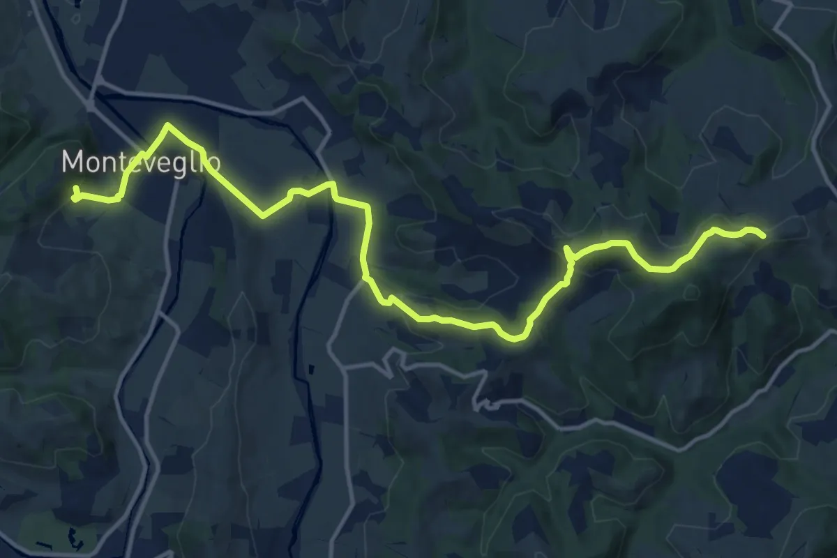
Medium · Trail
Monteveglio – Ca' Bianca
15.4 km · ↑ 446 m · 4 h 37 min · 12 km away
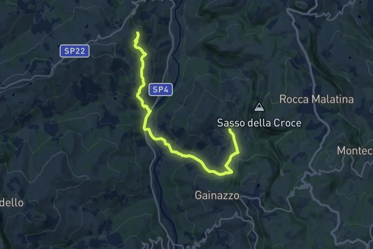
Medium · Trail
Festa – Sant'Apollonia
14.2 km · ↑ 618 m · 4 h 41 min · 12 km away
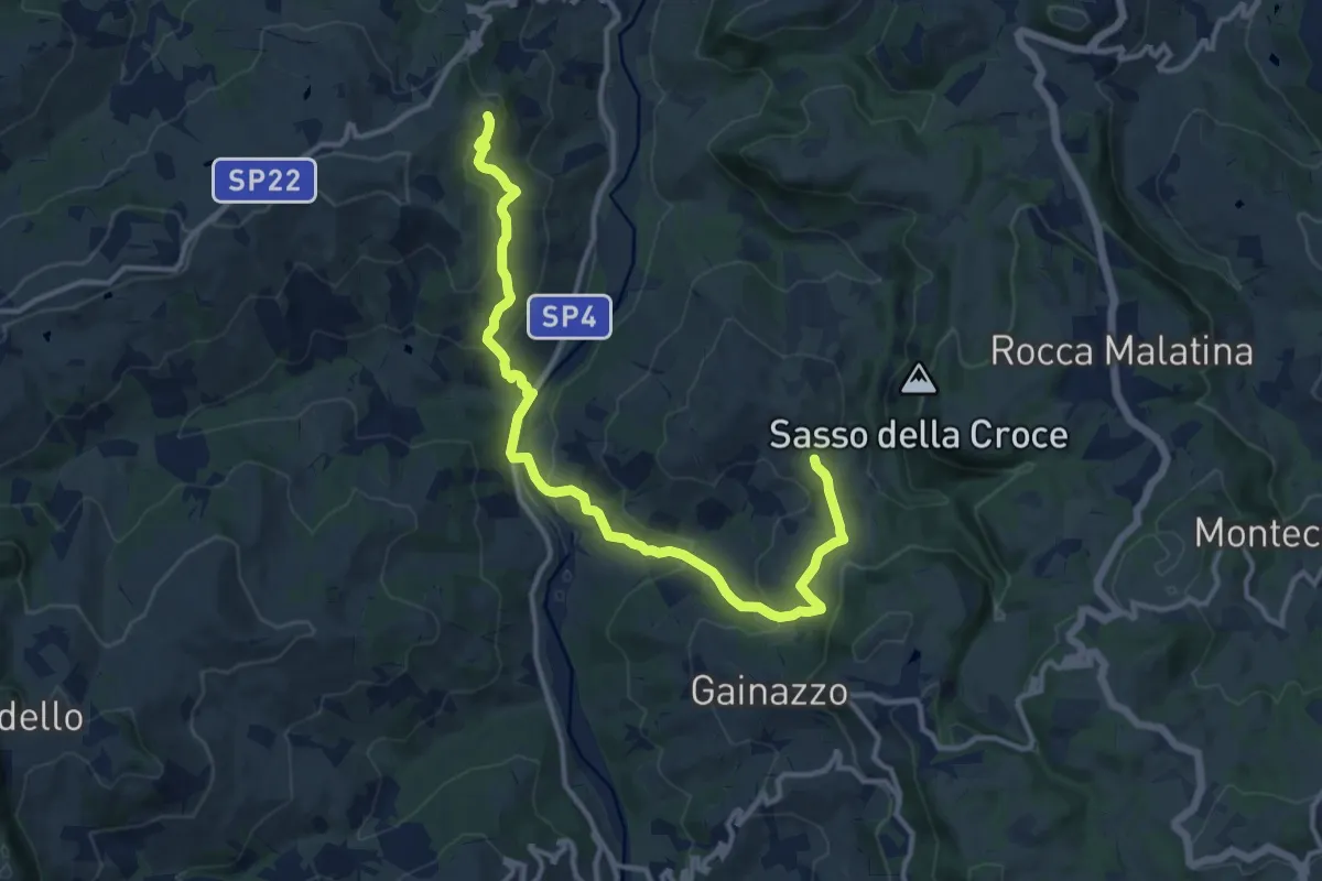
Medium · Trail
Festà – Sant'Apollonia
14.2 km · ↑ 618 m · 4 h 41 min · 12 km away
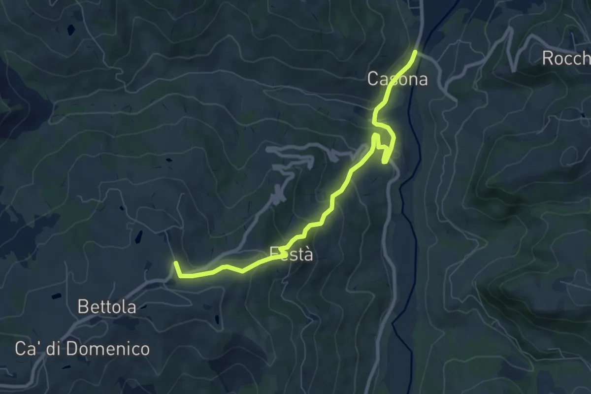
Medium · Trail
Collegamento Via Romea Nonantolana (Casona - Festà)
9.1 km · ↑ 316 m · 2 h 50 min · 12 km away
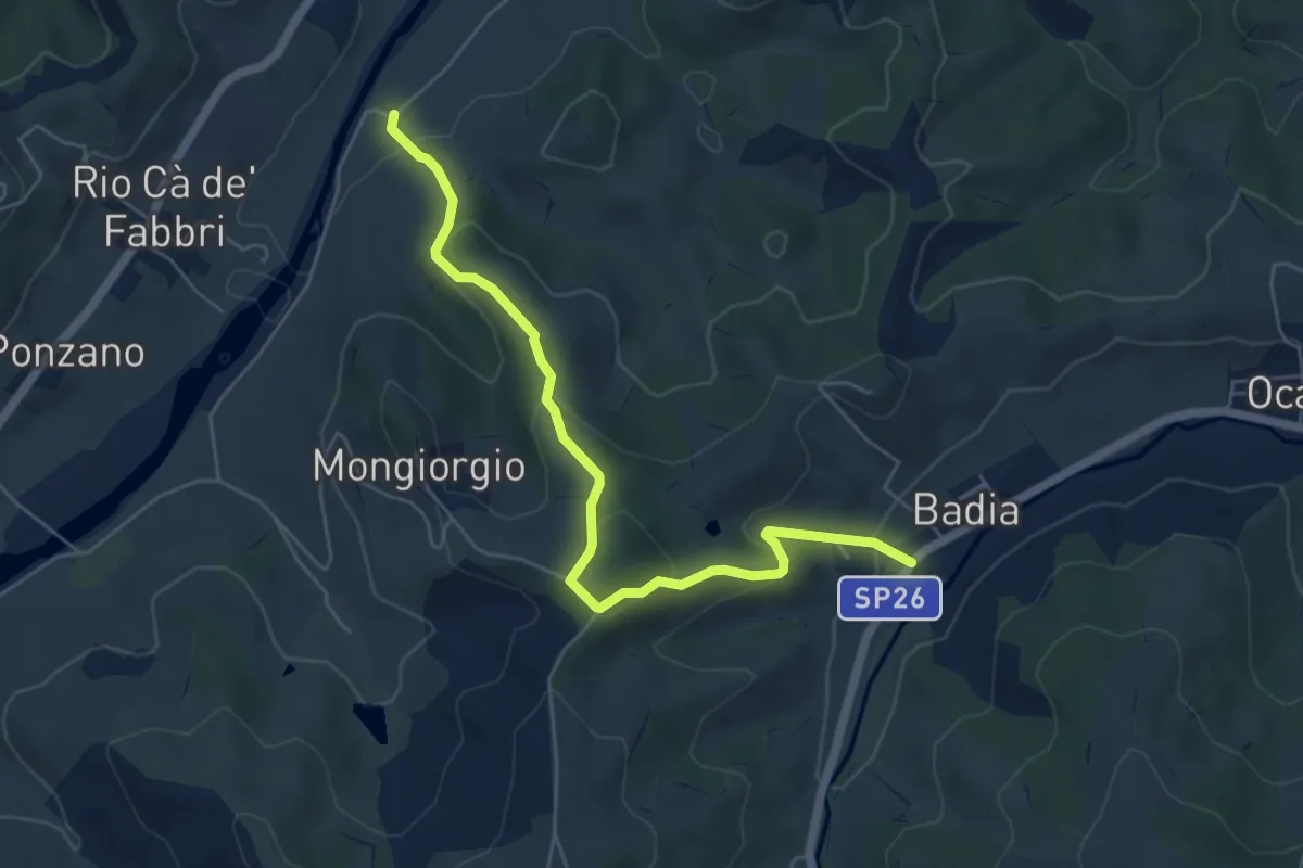
Easy · Trail
Percorso CAI 219A
6.1 km · ↑ 296 m · 2 h 5 min · 12 km away
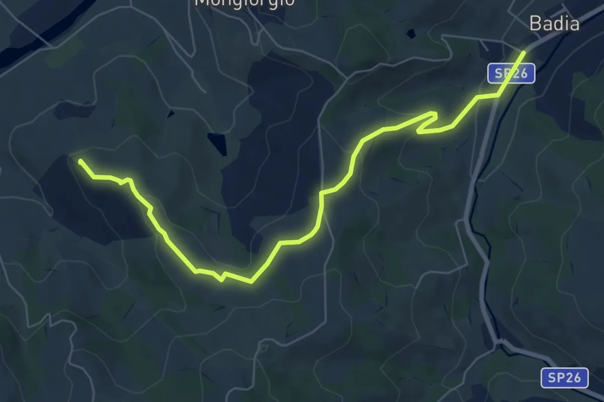
Easy · Summit
Percorso CAI 219
7.3 km · ↑ 234 m · 2 h 14 min · 12 km away
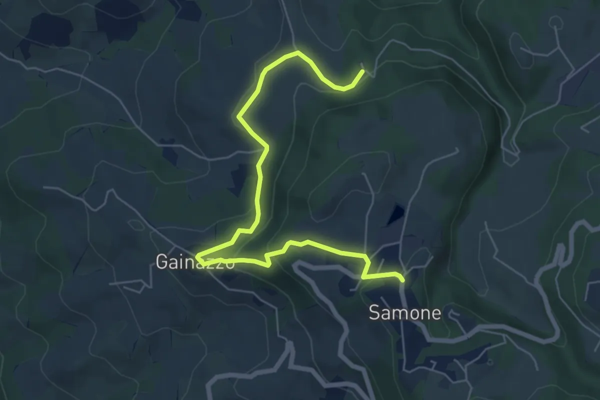
Medium · Trail
Castellino delle Formiche – Samone
6.5 km · ↑ 247 m · 2 h 4 min · 12 km away
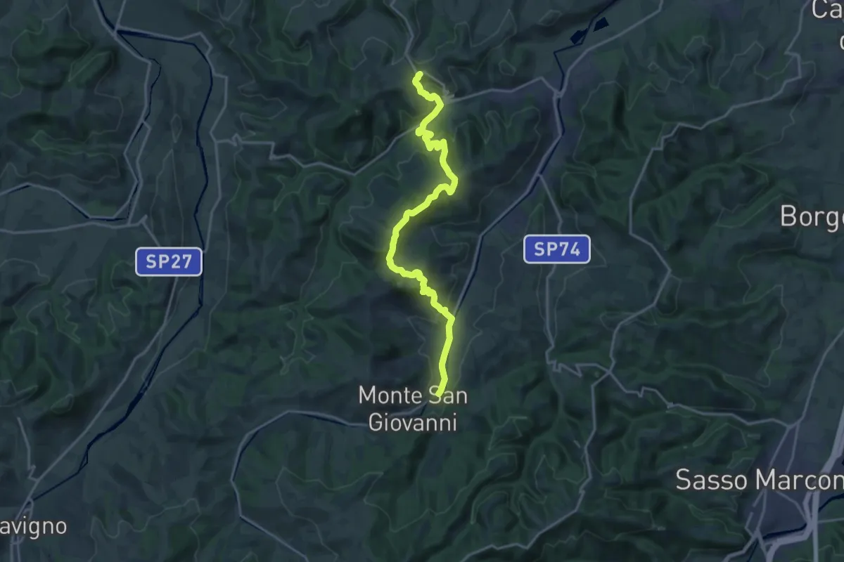
Demanding · Trail
Percorso CAI 211
18.6 km · ↑ 822 m · 6 h 11 min · 13 km away
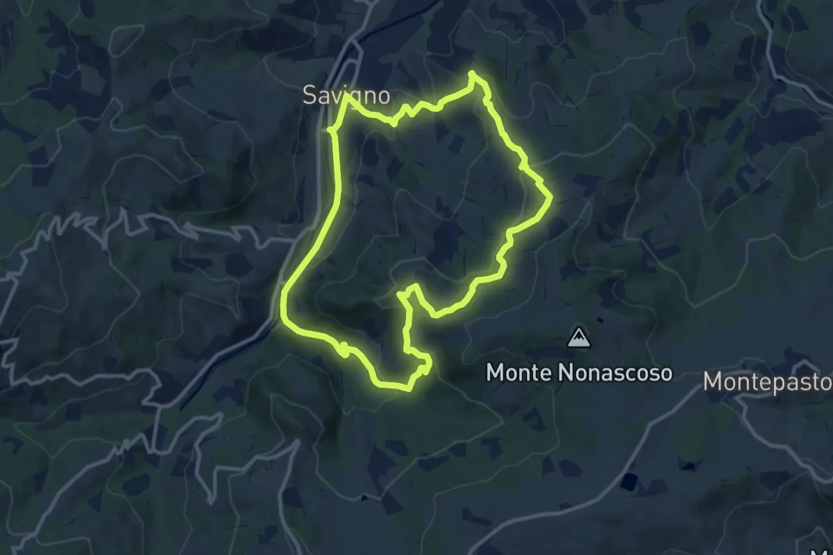
Medium · Trail
S9
10.6 km · ↑ 354 m · 3 h 24 min · 13 km away
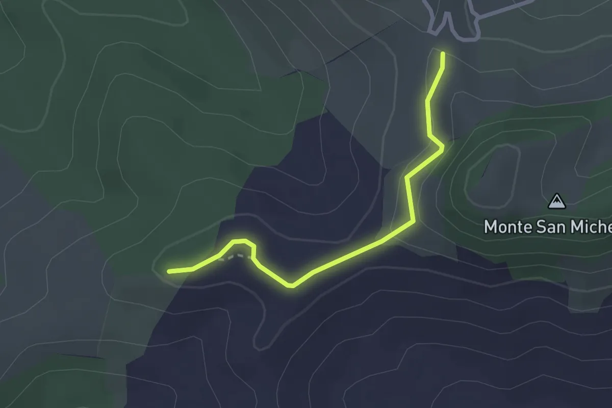
Easy · Trail
Percorso ambientale
2.4 km · ↑ 91 m · 46 min · 13 km away
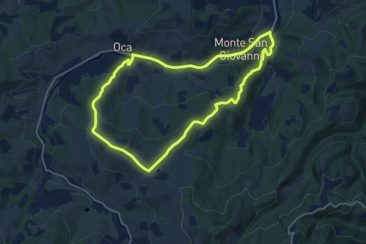
Medium · Trail
N1 - L'uomo che era e l'uomo che verrà
9.1 km · ↑ 295 m · 2 h 54 min · 13 km away
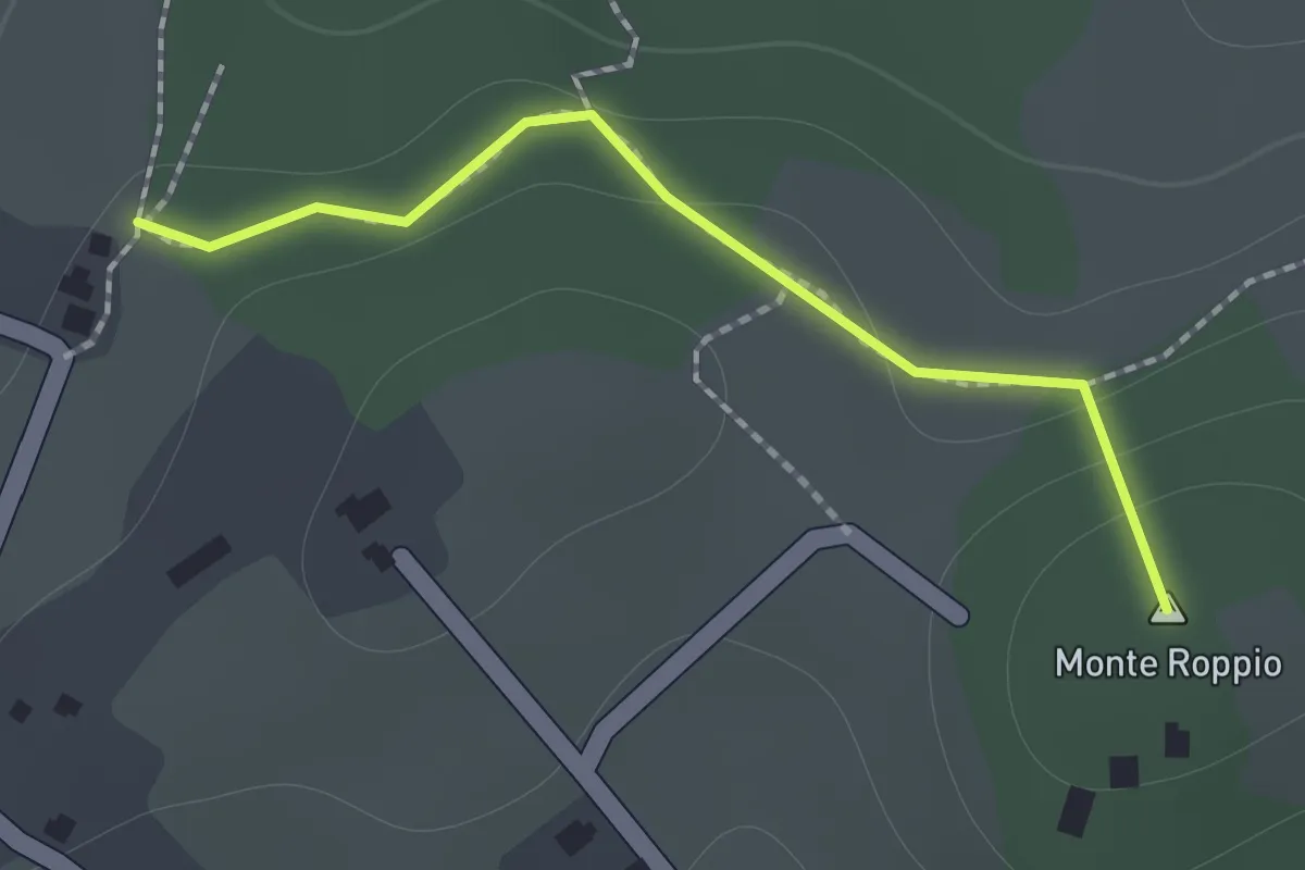
Medium · Summit
Percorso 428 – Percorso 426
1.2 km · ↑ 46 m · 23 min · 13 km away
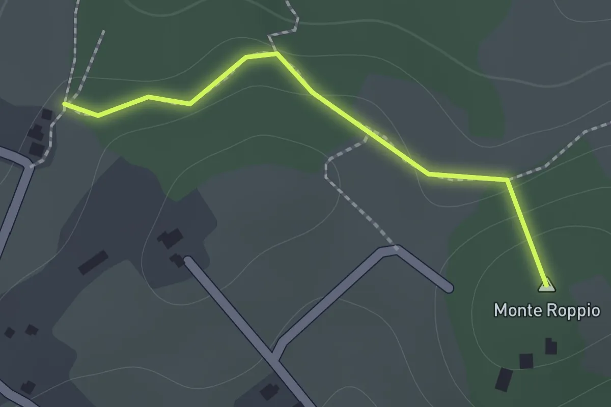
Medium · Summit
Percorso SAS11 – Percorso SAS10
1.2 km · ↑ 46 m · 23 min · 13 km away
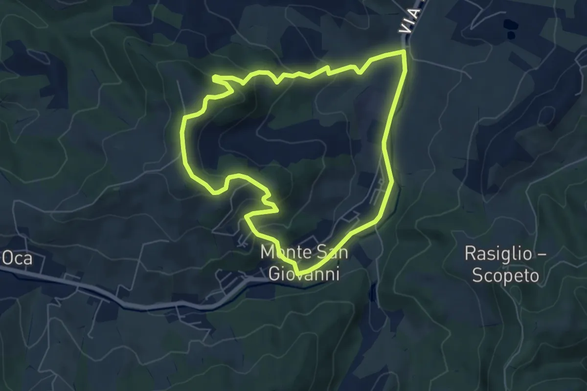
Easy · Trail
N7 - Tra Colline e Calanchi
6.0 km · ↑ 223 m · 1 h 59 min · 14 km away
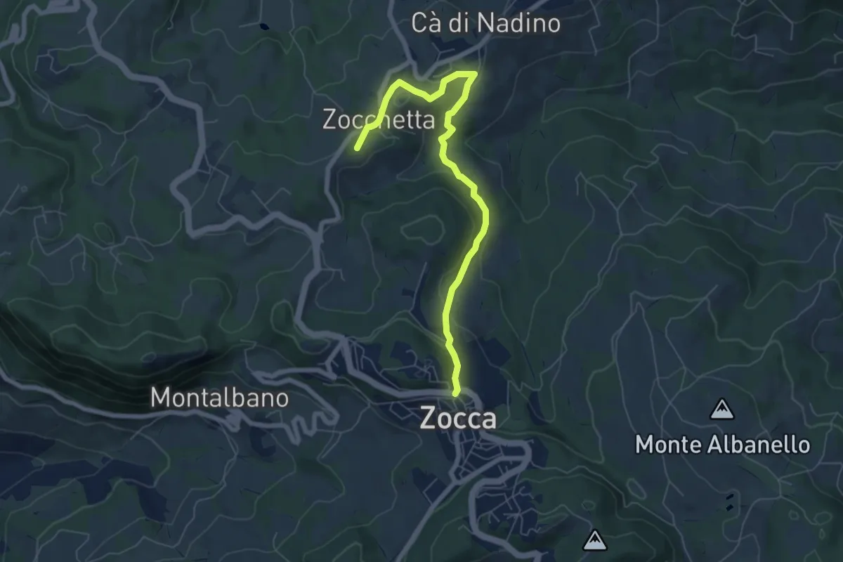
Easy · Summit
Campazzo – Zocca
6.9 km · ↑ 236 m · 2 h 8 min · 15 km away
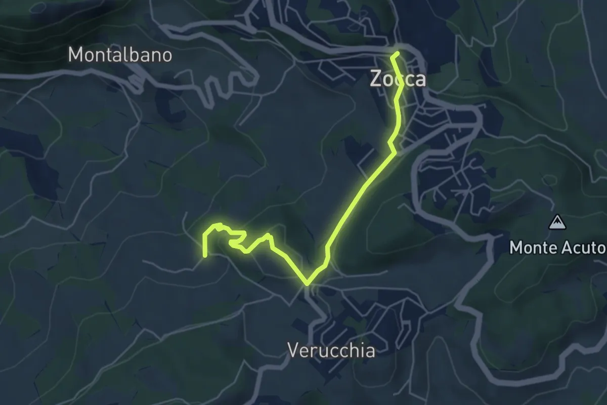
Easy · Trail
Zocca – Percorso 400/3
5.2 km · ↑ 159 m · 1 h 34 min · 15 km away
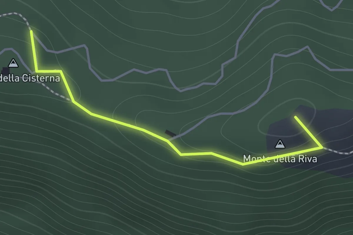
Medium · Summit
Serra di Montalbano – Monte della Cisterna
1.4 km · ↑ 54 m · 27 min · 15 km away
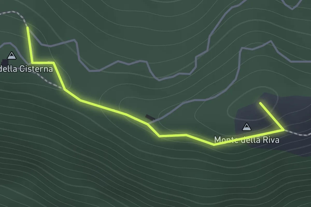
Medium · Summit
Monte della Cisterna – Serra di Montalbano
1.4 km · ↑ 54 m · 27 min · 15 km away
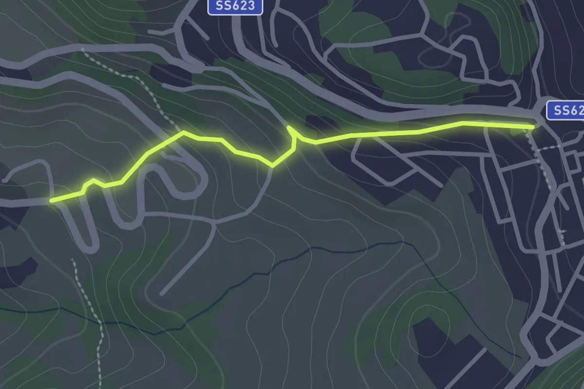
Easy · Trail
Percorso 400/3 – Zocca
2.5 km · ↑ 147 m · 55 min · 15 km away
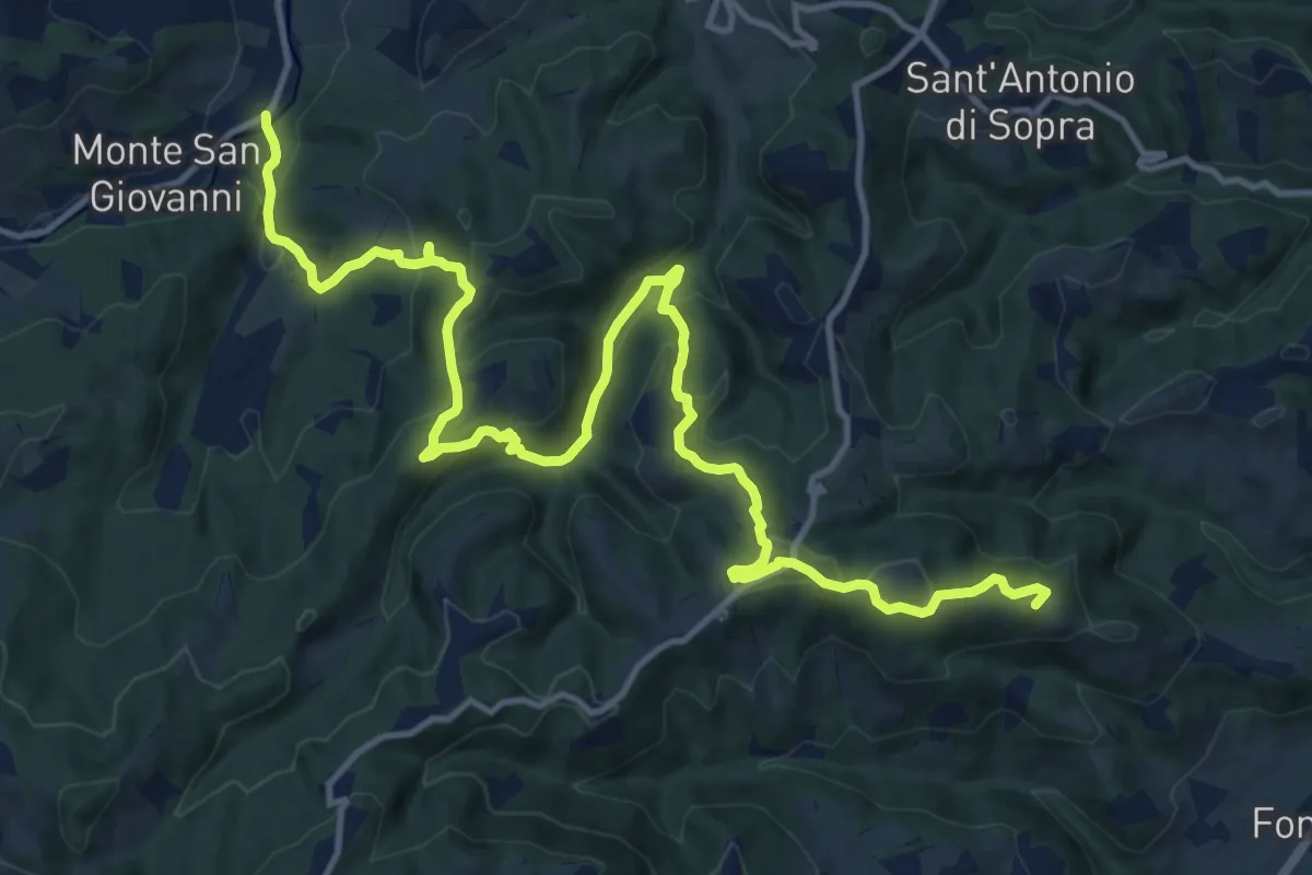
Demanding · Summit
Percorso CAI 120
17.8 km · ↑ 809 m · 5 h 57 min · 15 km away
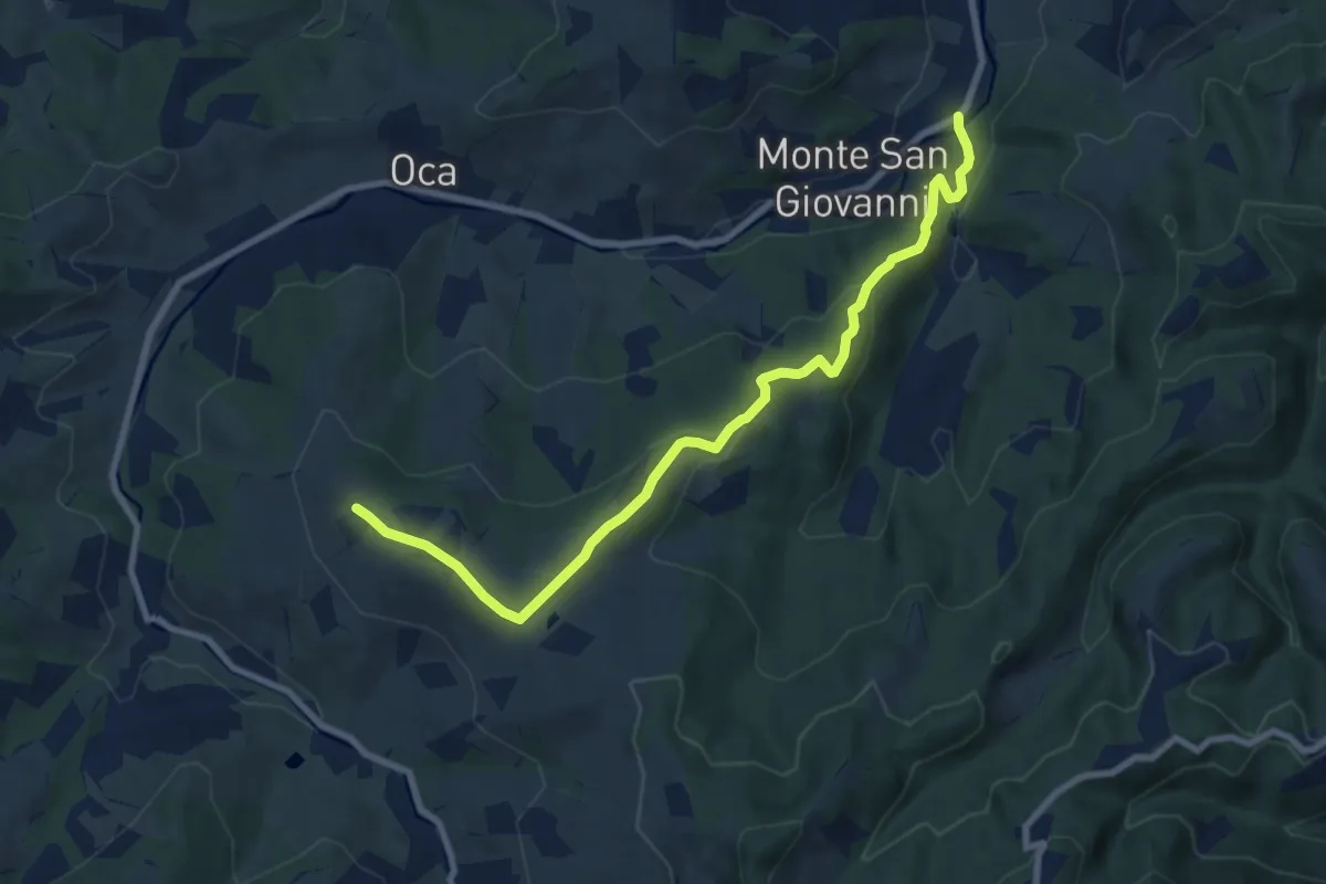
Medium · Trail
Percorso CAI 213
9.2 km · ↑ 329 m · 2 h 53 min · 15 km away
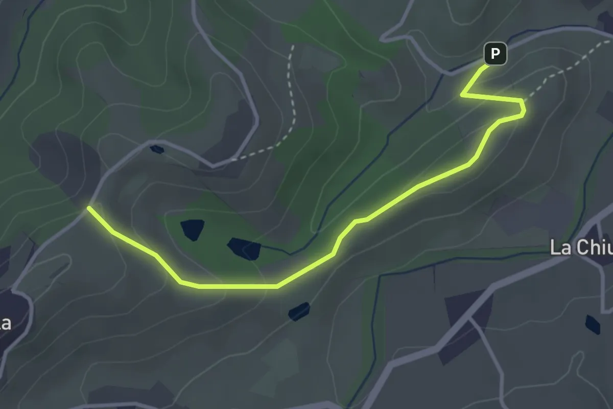
Easy · Trail
Sentiero del Capriolo
3.6 km · ↑ 130 m · 1 h 8 min · 15 km away
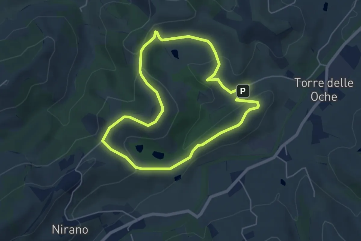
Easy · Trail
Giro delle Salse
4.3 km · ↑ 126 m · 1 h 21 min · 15 km away
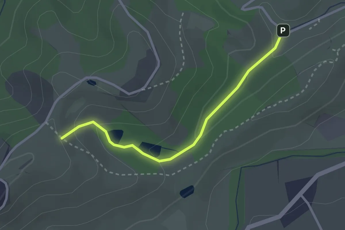
Easy · Trail
Sentiero dei Tritoni
2.5 km · ↑ 93 m · 47 min · 15 km away