Trails near Villa Carcina
299 hikes starting within 15 km, nearest first.
Nearest first, page 1 of 7
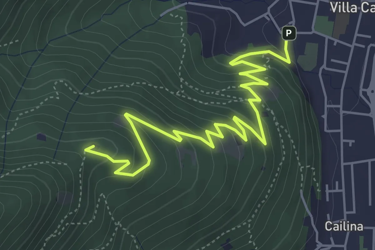
Medium · Summit
Villa Carcina – Sella dell'Oca
6.1 km · ↑ 364 m · 2 h 14 min · under 1 km away
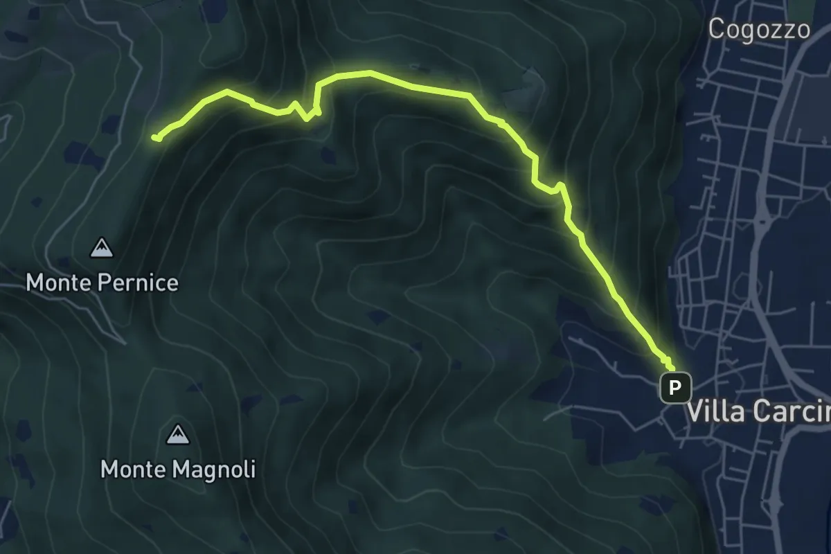
Medium · Trail
Sentiero Domenico Cancarini e Antonio Giubileo
6.1 km · ↑ 617 m · 2 h 46 min · under 1 km away
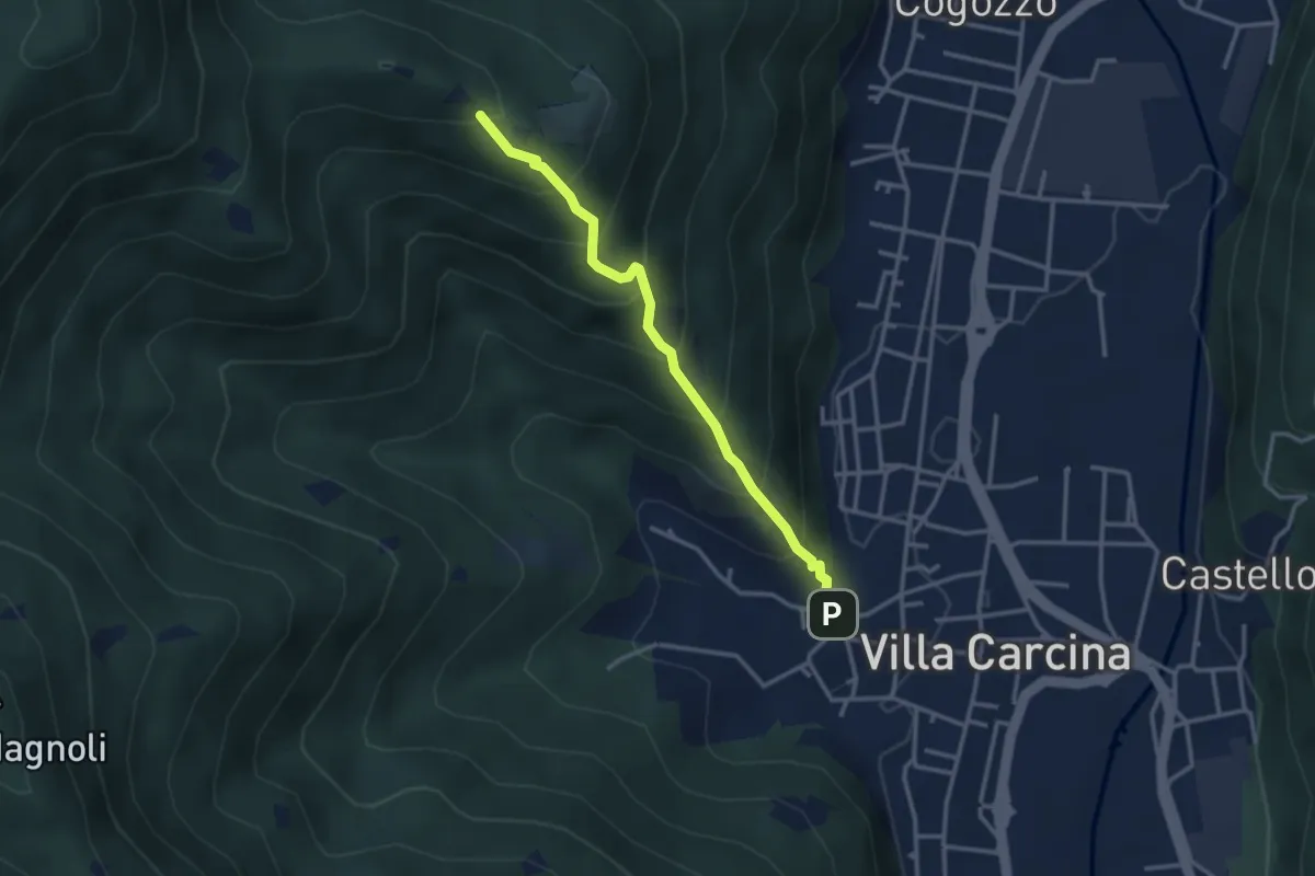
Medium · Trail
Villa Carcina - Campo Lupo
3.1 km · ↑ 389 m · 1 h 34 min · under 1 km away
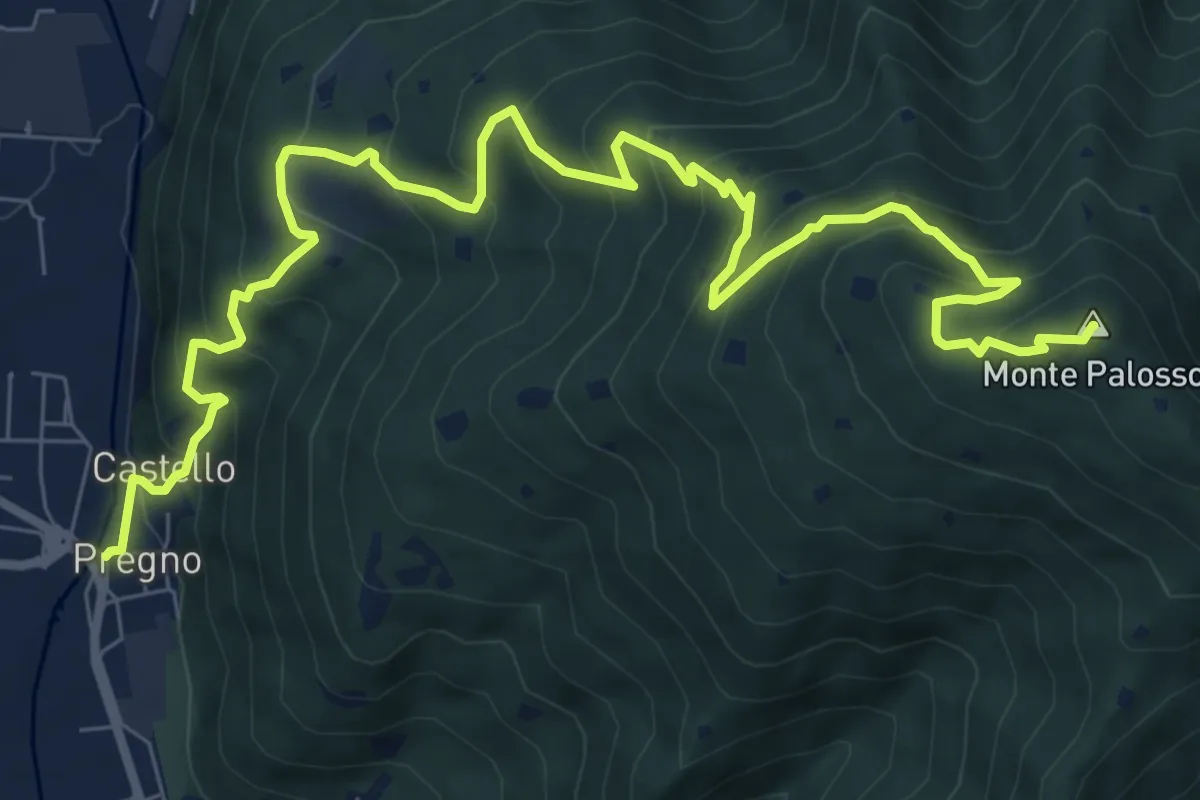
Demanding · Summit
Villa Carcina (Pregno) – Monte Palosso
11.1 km · ↑ 912 m · 4 h 36 min · under 1 km away
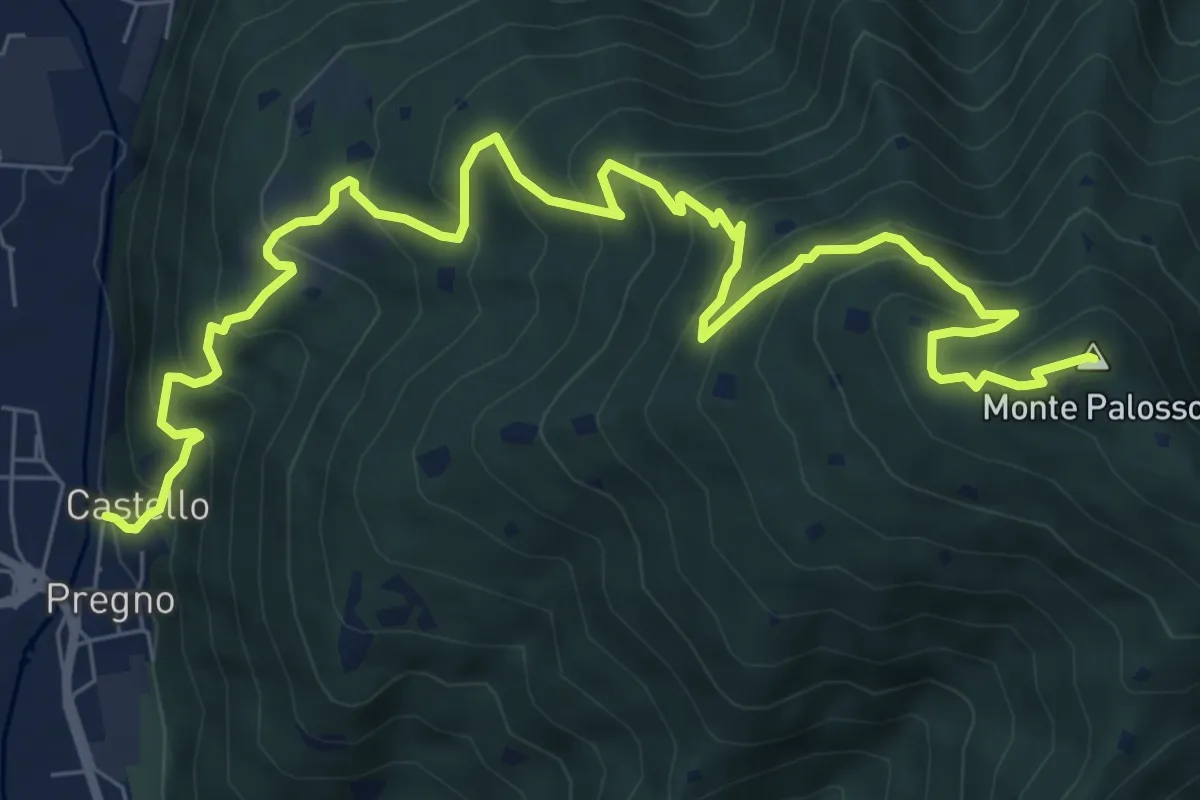
Demanding · Summit
Sentiero n° 2
10.4 km · ↑ 895 m · 4 h 24 min · under 1 km away
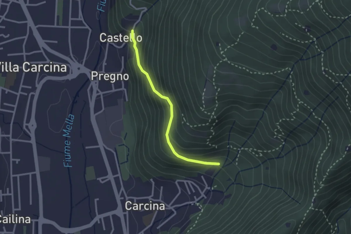
Medium · Trail
Villa Carcina (Carcina) - Pregno
2.2 km · ↑ 165 m · 53 min · 1 km away
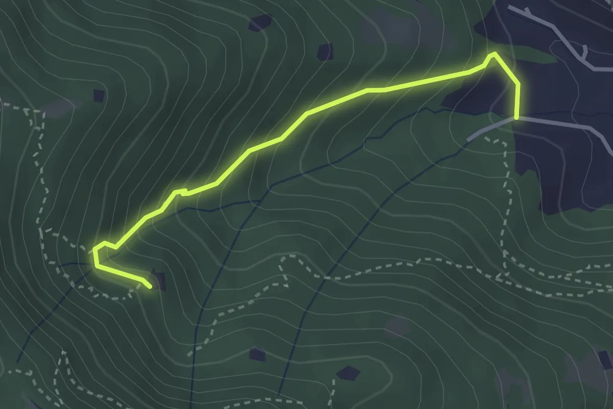
Medium · Trail
Villa Carcina (Villa) - Roccolo del Prete
2.9 km · ↑ 320 m · 1 h 23 min · 1 km away
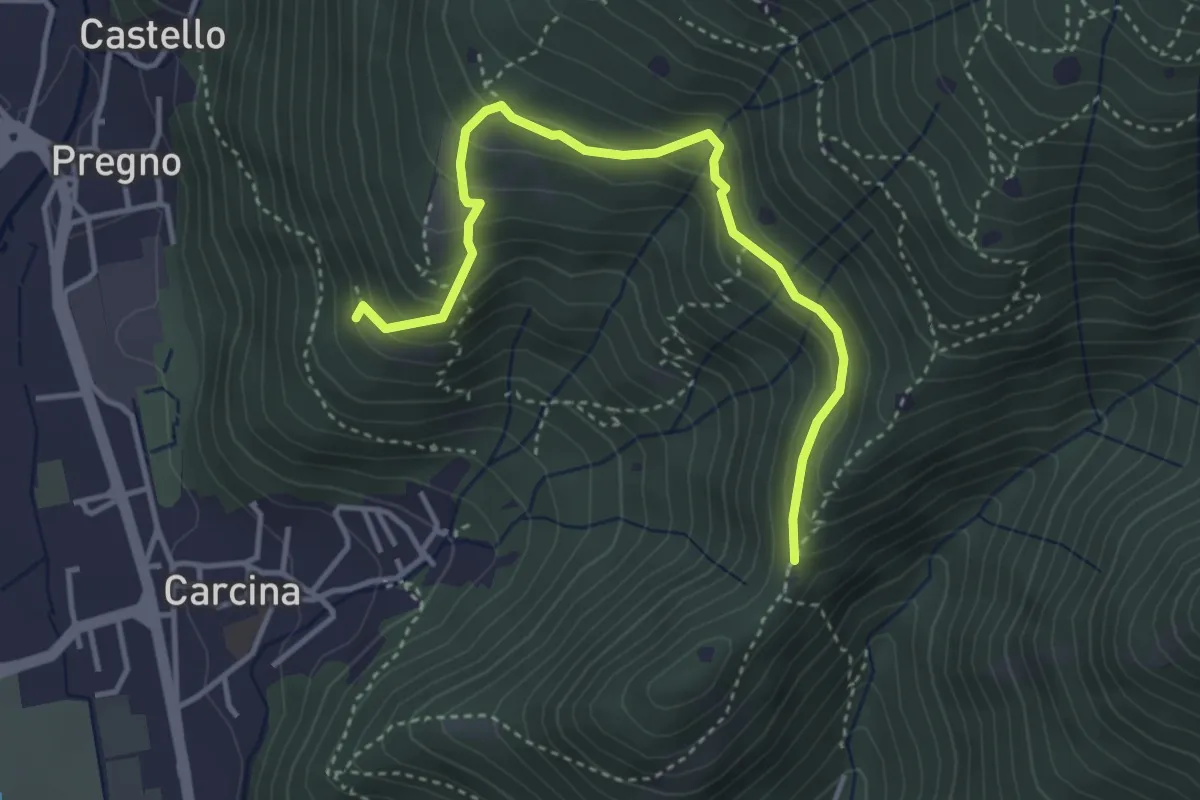
Demanding · Trail
Villa Carcina - Sentiero 16
4.0 km · ↑ 321 m · 1 h 38 min · 1 km away
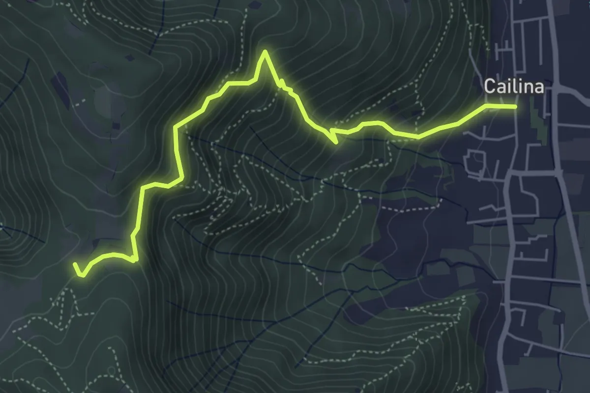
Medium · Trail
Villa Carcina (Cailina) – Quarone
5.8 km · ↑ 607 m · 2 h 42 min · 1 km away
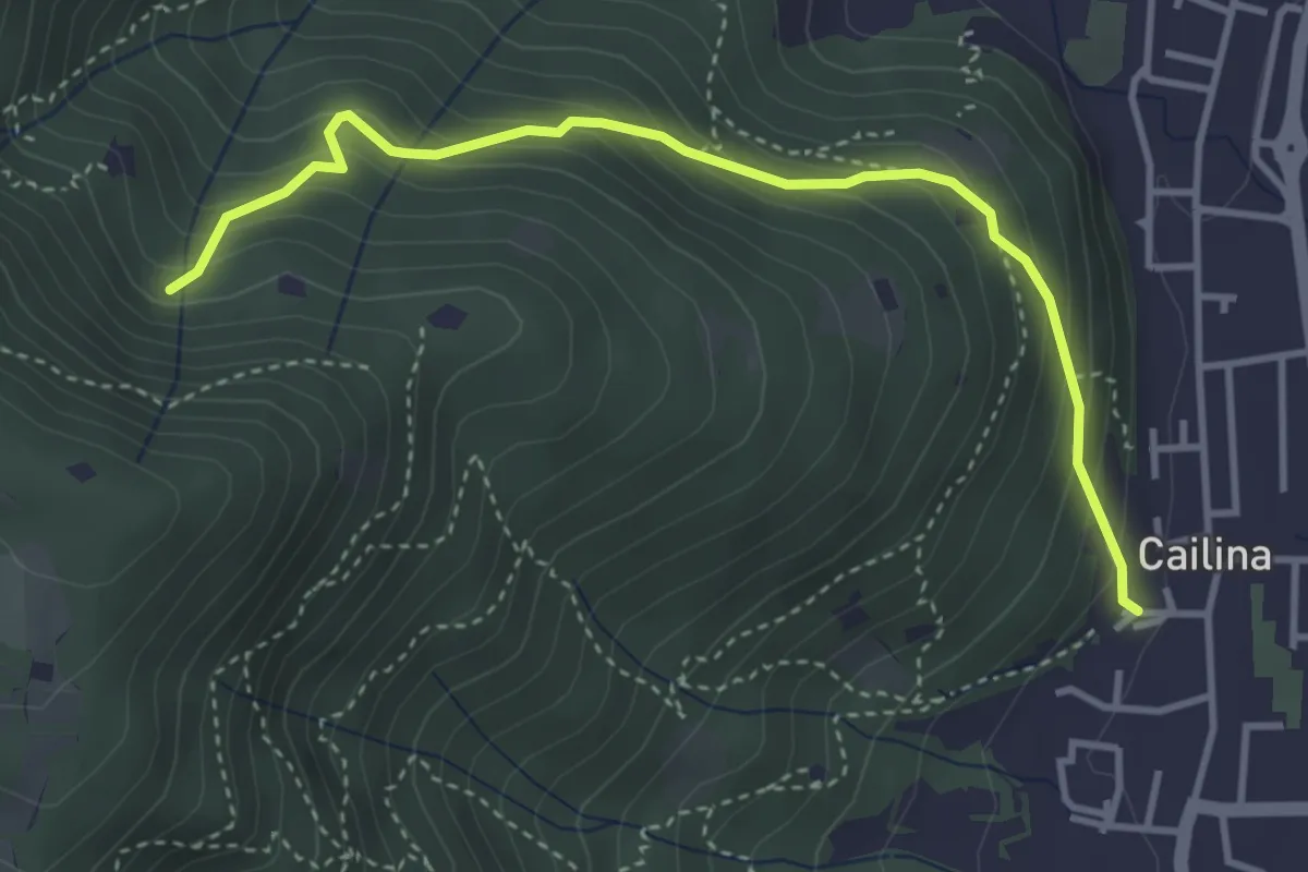
Medium · Trail
Villa Carcina (Cailina) – Roccolo del Prete
4.0 km · ↑ 379 m · 1 h 45 min · 1 km away
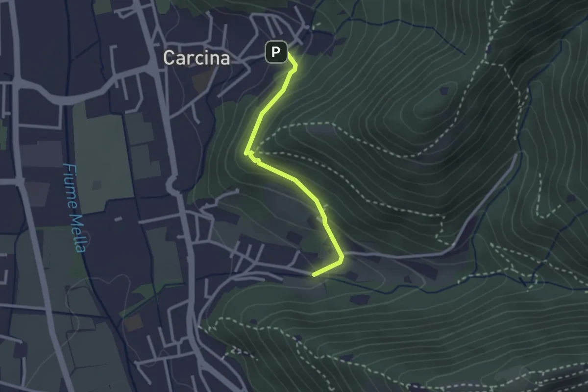
Easy · Trail
Villa Carcina (Carcina) - Costorio
2.2 km · ↑ 126 m · 48 min · 1 km away
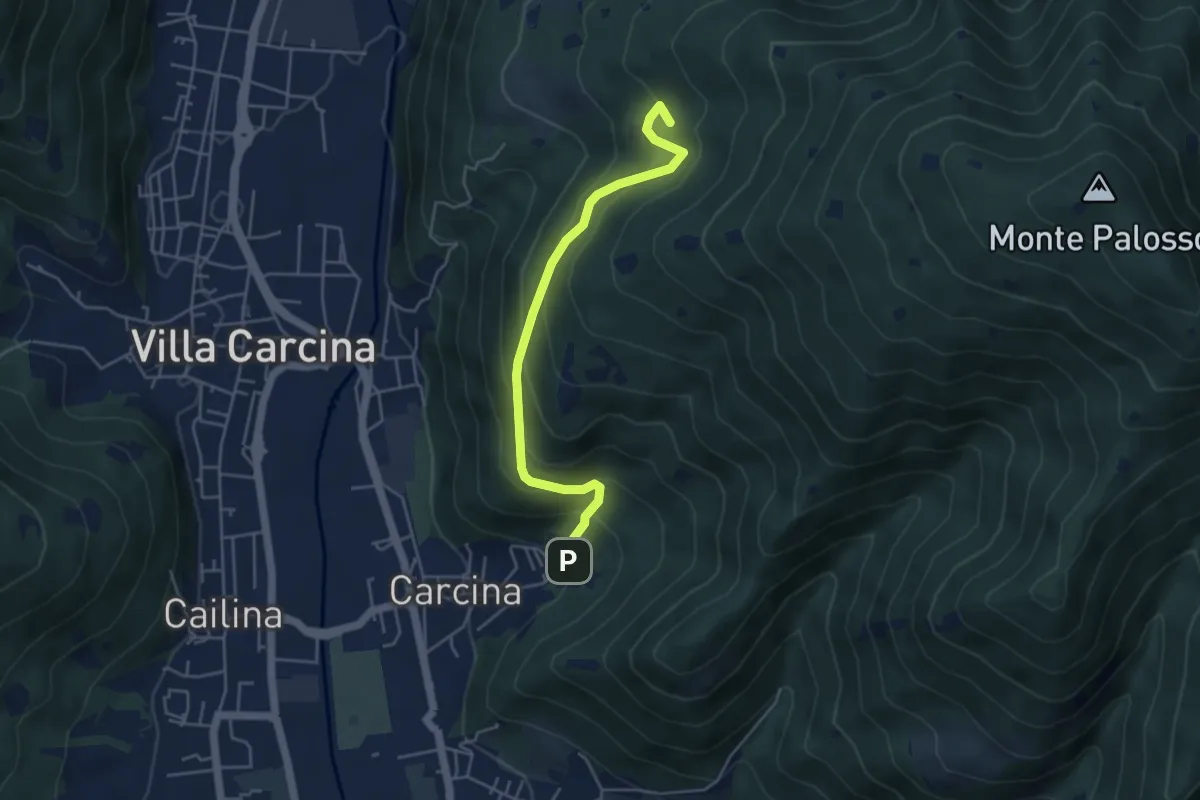
Medium · Summit
Villa Carcina - Sentiero 17
4.5 km · ↑ 395 m · 1 h 56 min · 1 km away
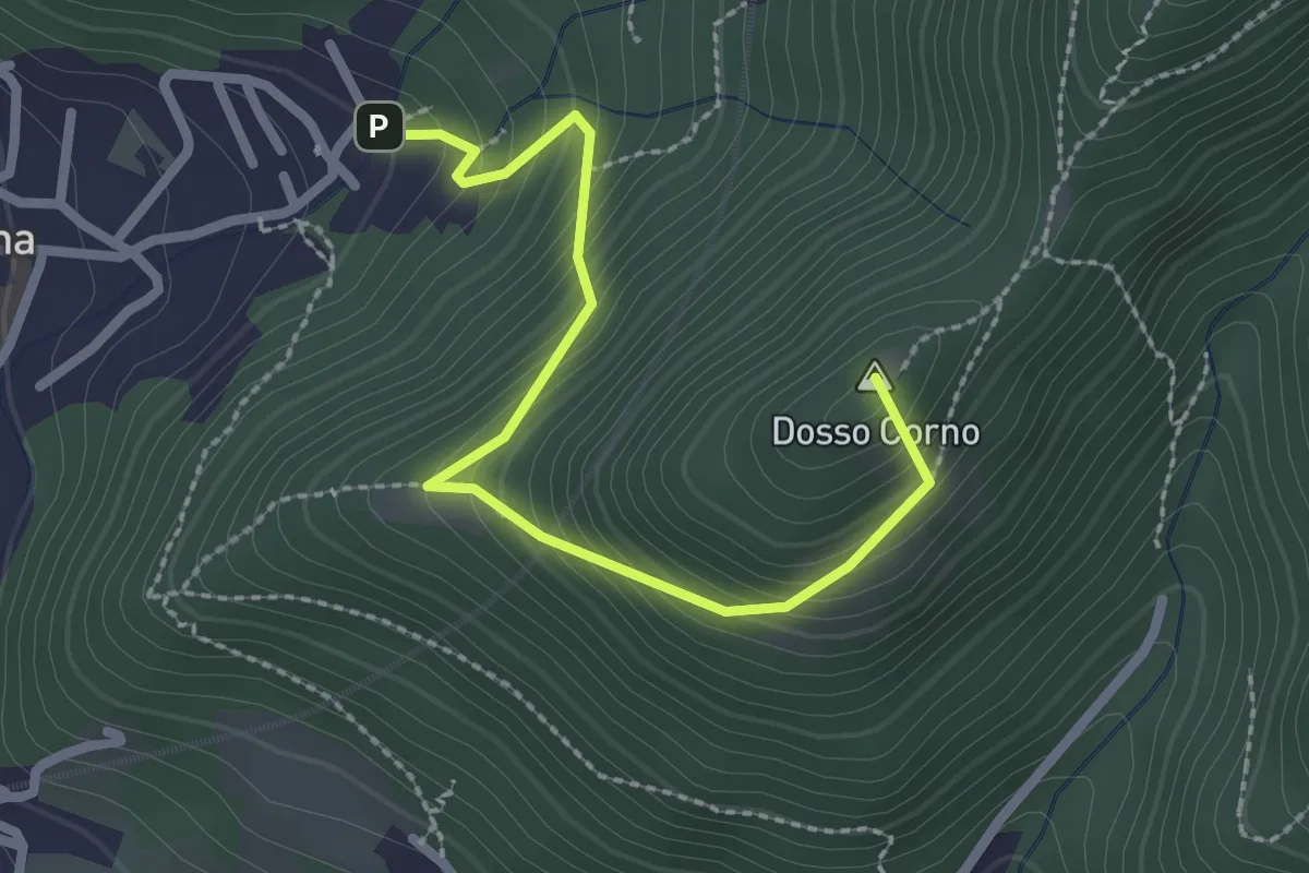
Medium · Summit
Villa Carcina (Caricatore) – Crusal
2.7 km · ↑ 292 m · 1 h 16 min · 1 km away
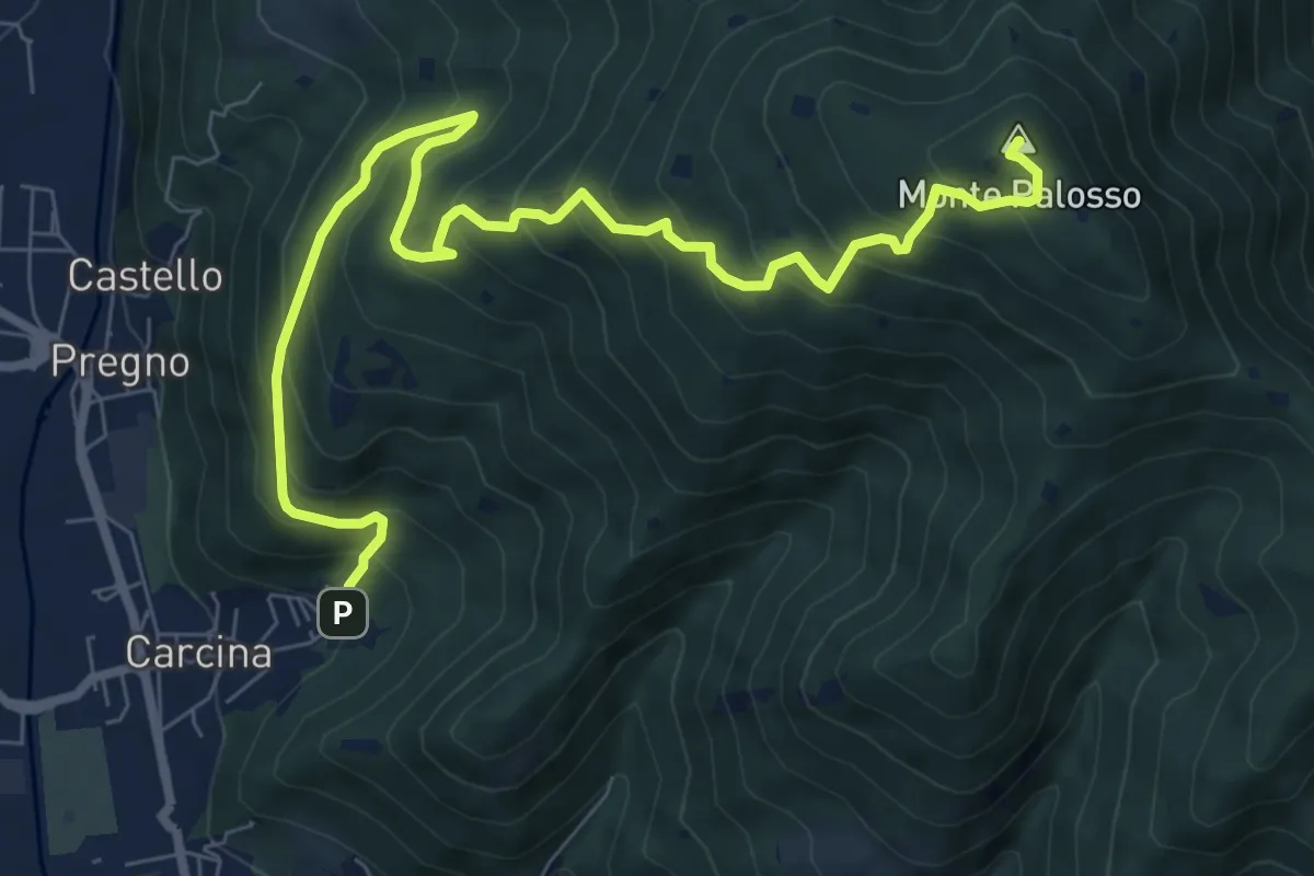
Demanding · Summit
Villa Carcina (Caricatore) – Monte Palosso
9.9 km · ↑ 908 m · 4 h 18 min · 1 km away
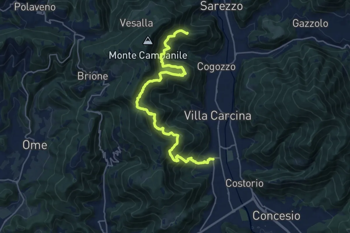
Demanding · Summit
Sentiero n° 1
19.4 km · ↑ 1506 m · 7 h 50 min · 1 km away
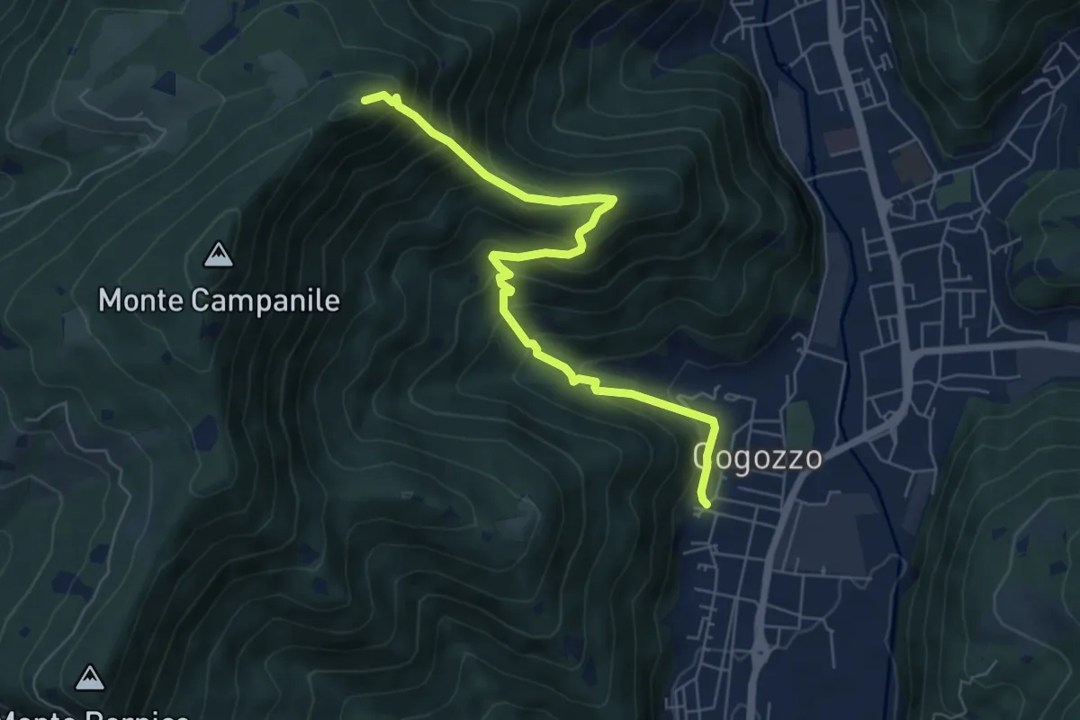
Demanding · Summit
Villa Carcina – Pizzo Cornacchia
6.7 km · ↑ 672 m · 3 h 2 min · 1 km away
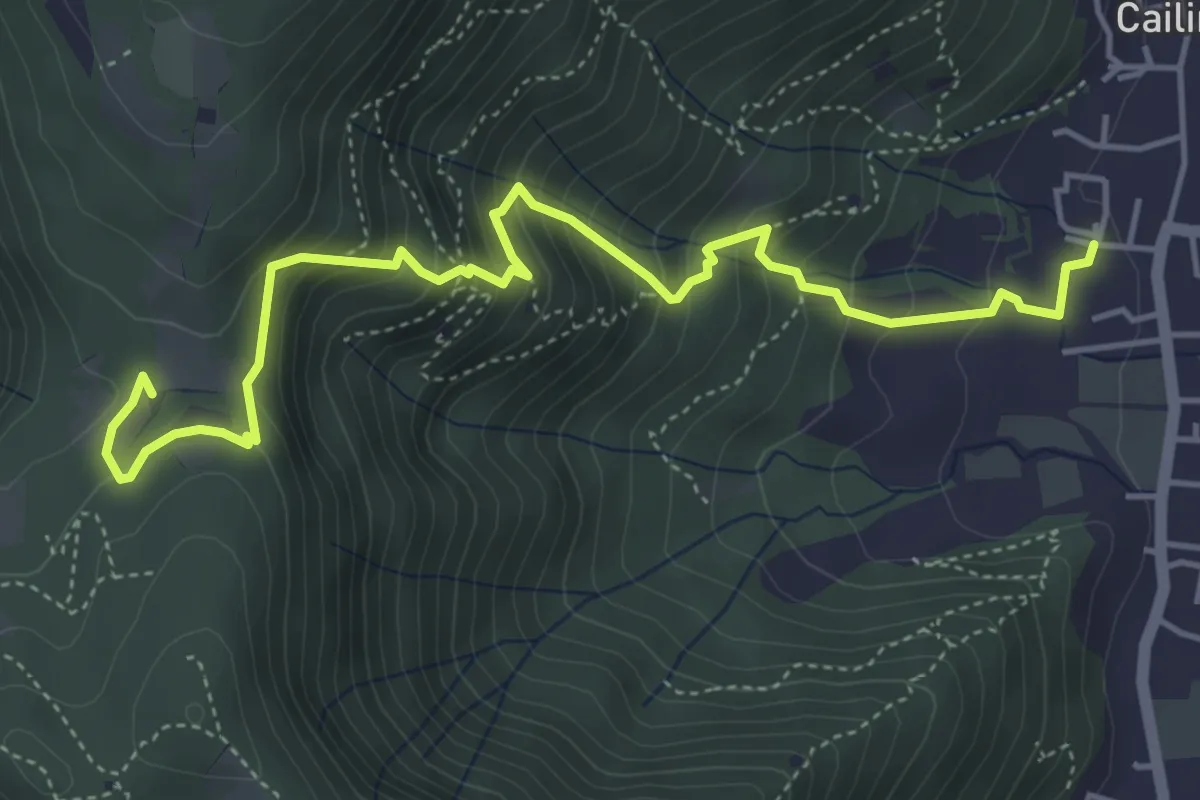
Medium · Trail
Villa Carcina (Cailina) – Quarone
5.7 km · ↑ 534 m · 2 h 30 min · 1 km away
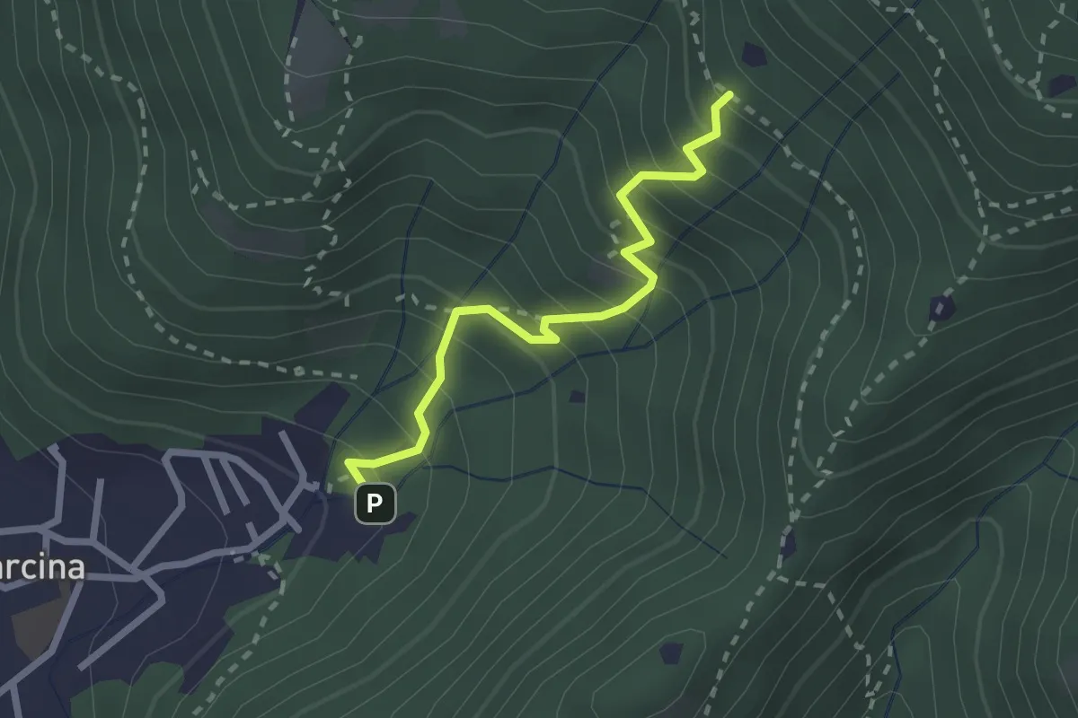
Medium · Trail
Villa Carcina - Sentiero 22
2.3 km · ↑ 303 m · 1 h 12 min · 1 km away
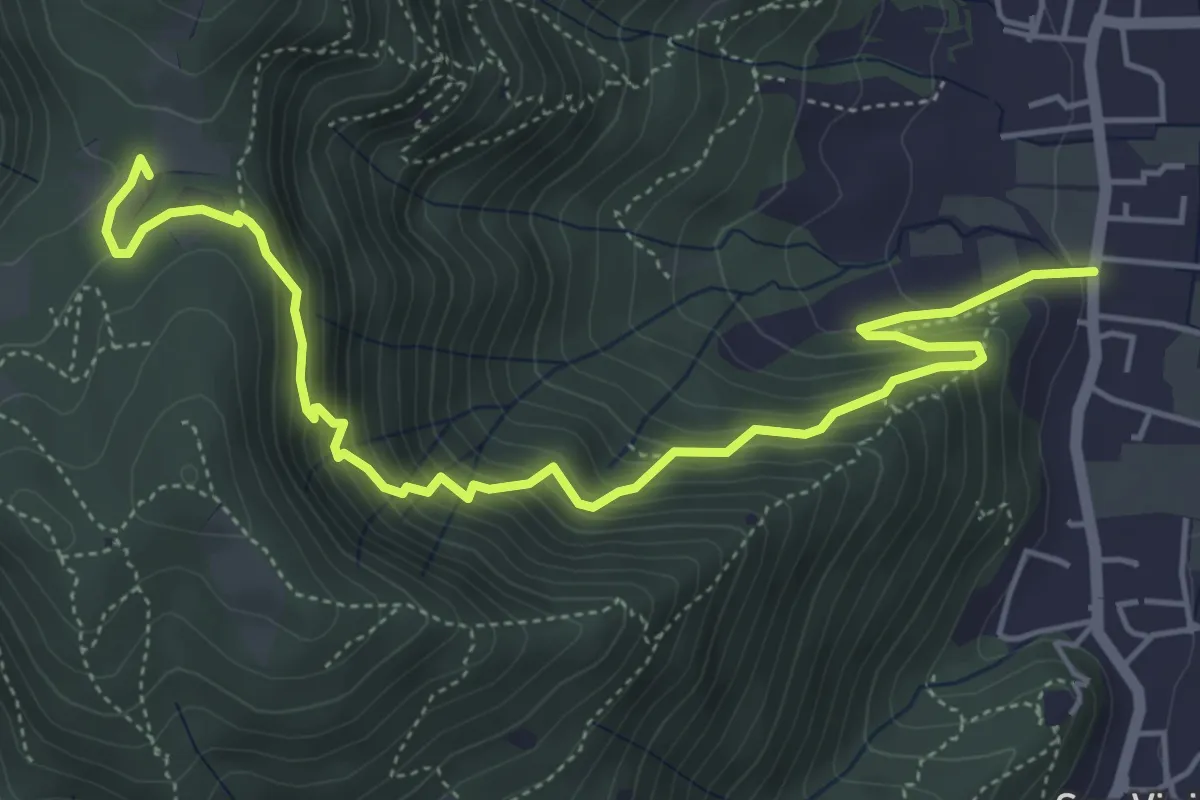
Medium · Trail
Concesio (Via Mandò) - Quarone di Sopra
6.2 km · ↑ 571 m · 2 h 42 min · 2 km away
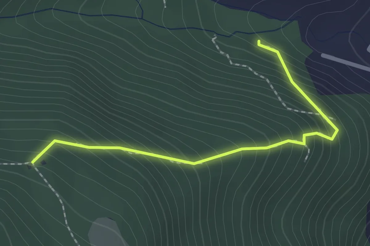
Medium · Trail
Sentiero 1 - Variante 1D
2.0 km · ↑ 239 m · 59 min · 2 km away
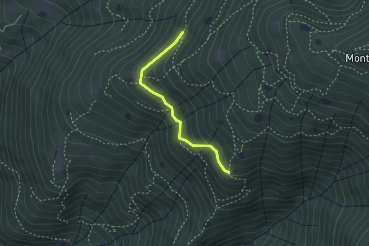
Easy · Trail
Villa Carcina - Sentiero 20
2.4 km · ↑ 169 m · 56 min · 2 km away
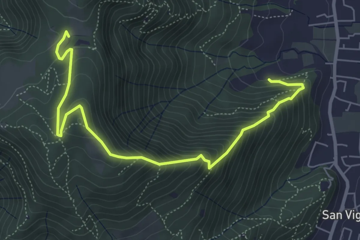
Medium · Trail
Concesio (Via Mandò) - Costa - Quarone di Sopra
6.6 km · ↑ 592 m · 2 h 50 min · 2 km away
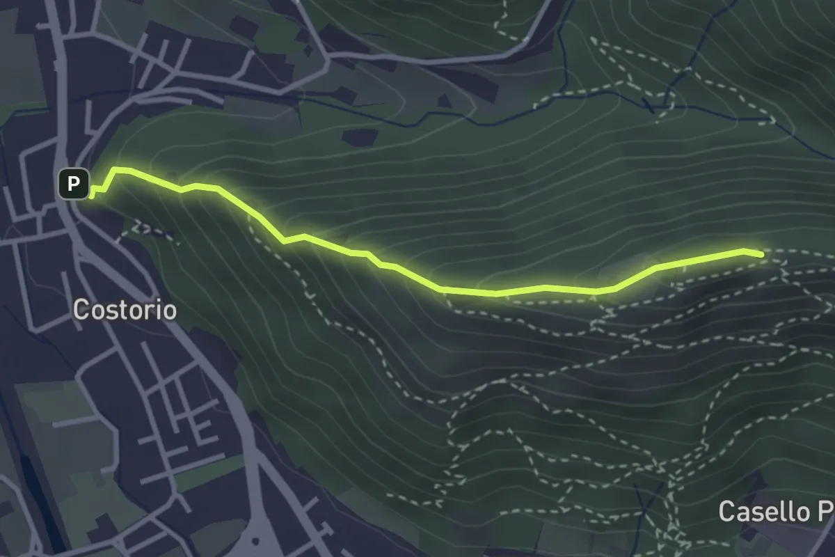
Medium · Summit
Concesio (Costorio) - Grassi Carpini
3.0 km · ↑ 329 m · 1 h 25 min · 2 km away
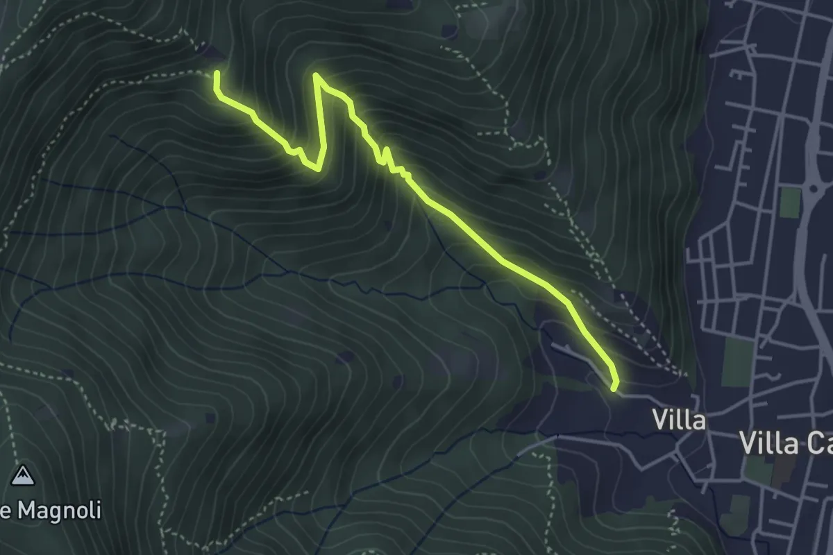
Medium · Trail
Villa Carcina (Villa) - Büs del Torcol
4.2 km · ↑ 438 m · 1 h 56 min · 2 km away
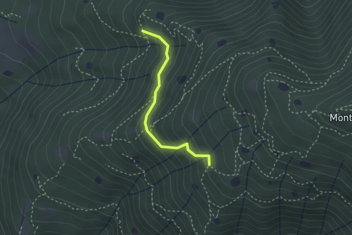
Easy · Trail
Villa Carcina - Sentiero 19
2.3 km · ↑ 210 m · 59 min · 2 km away
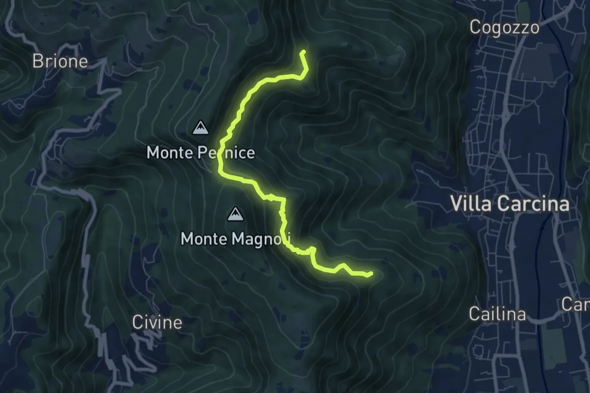
Medium · Summit
Sentiero Alberto Antonelli
7.0 km · ↑ 463 m · 2 h 40 min · 2 km away
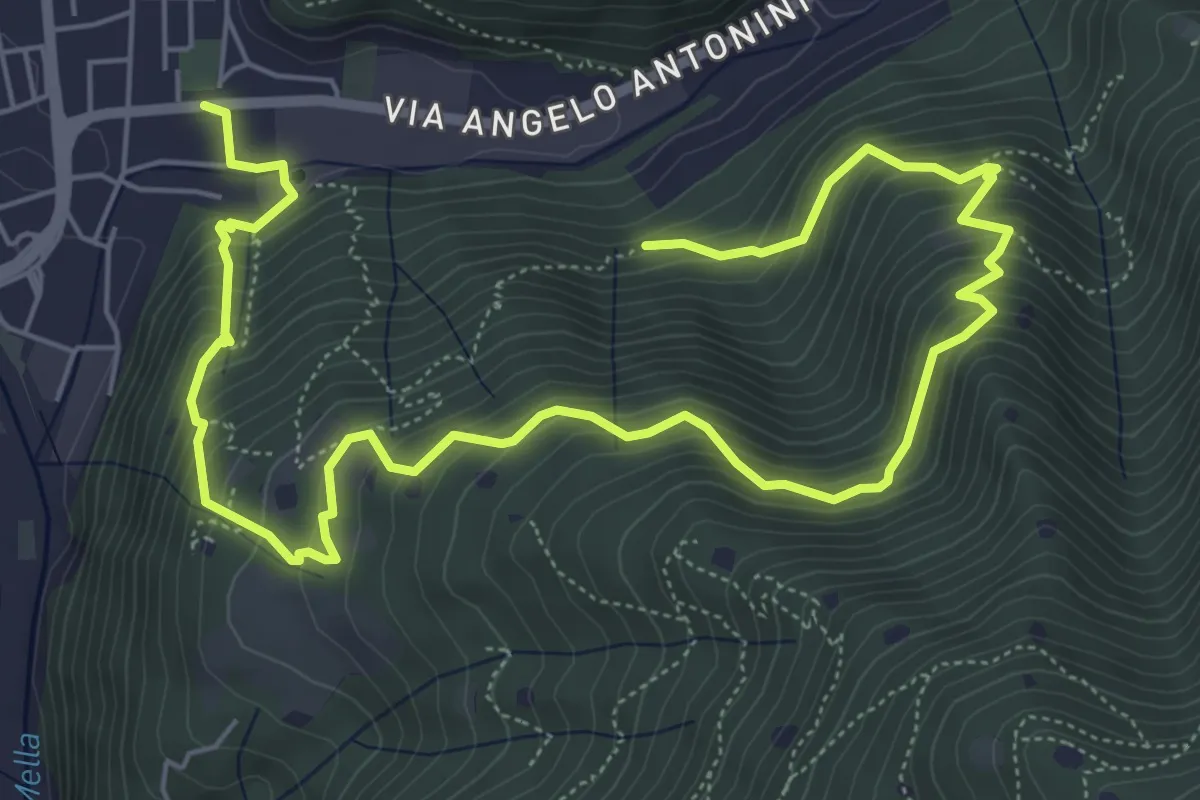
Demanding · Trail
La Vià Antiga
9.3 km · ↑ 858 m · 4 h 3 min · 2 km away
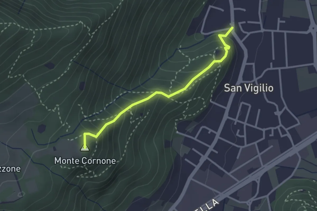
Medium · Summit
Concesio (San Vigilio) - Quarone di Sopra
2.6 km · ↑ 259 m · 1 h 11 min · 2 km away
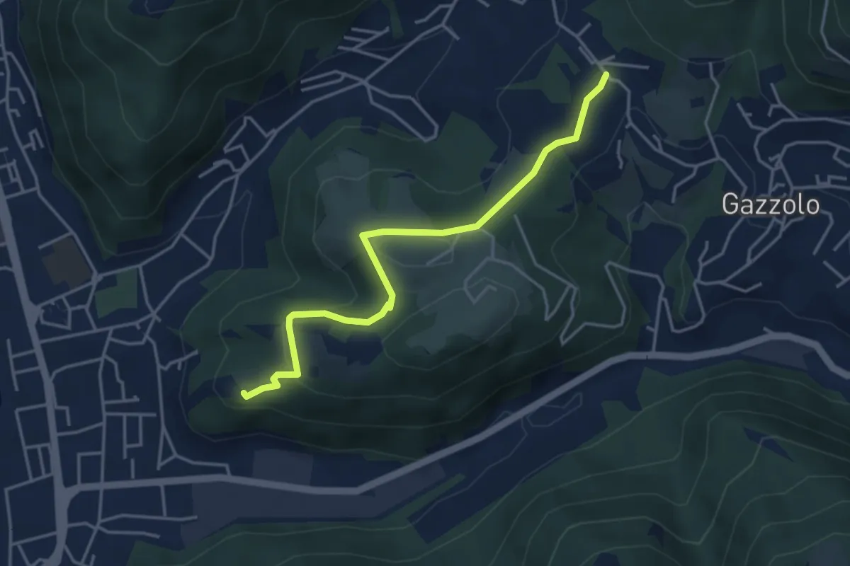
Medium · Trail
Sarezzo (Via Cagnaghe) - Castello
4.1 km · ↑ 134 m · 1 h 15 min · 2 km away
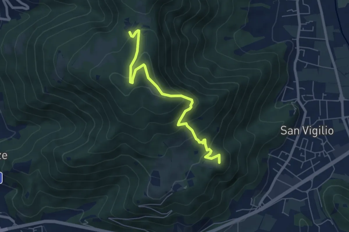
Medium · Summit
Concesio (San Vigilio) – Quarone di Sopra
5.8 km · ↑ 392 m · 2 h 13 min · 3 km away
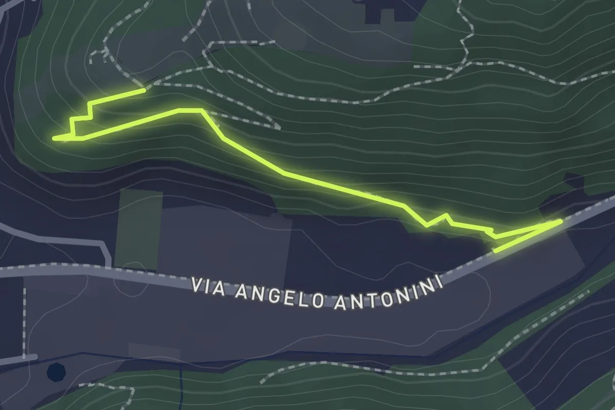
Easy · Trail
Sentiero di Mezzo
2.2 km · ↑ 171 m · 53 min · 3 km away
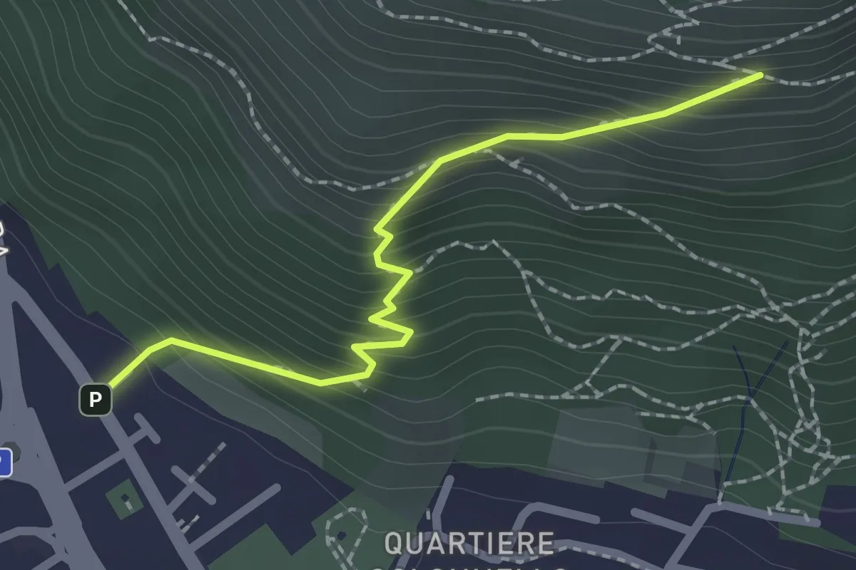
Medium · Cabin
Concesio (Vicolo Verdura) - Monte Verdura (Innesto Sentiero da Pieve)
2.1 km · ↑ 271 m · 1 h 5 min · 3 km away
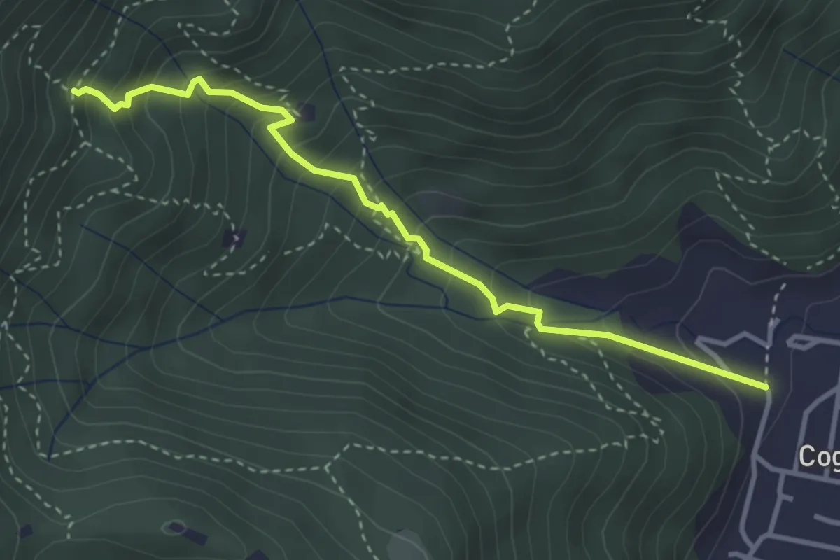
Medium · Trail
Sentiero 1 - Variante 1F
3.5 km · ↑ 394 m · 1 h 42 min · 3 km away
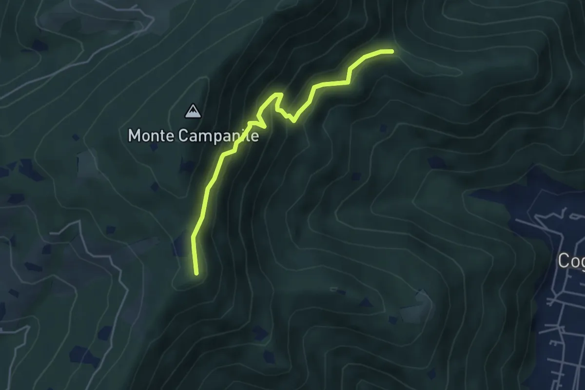
Medium · Summit
Villa Carcina (Sella Alta) – Cascina Tre Pauli
4.1 km · ↑ 337 m · 1 h 42 min · 3 km away
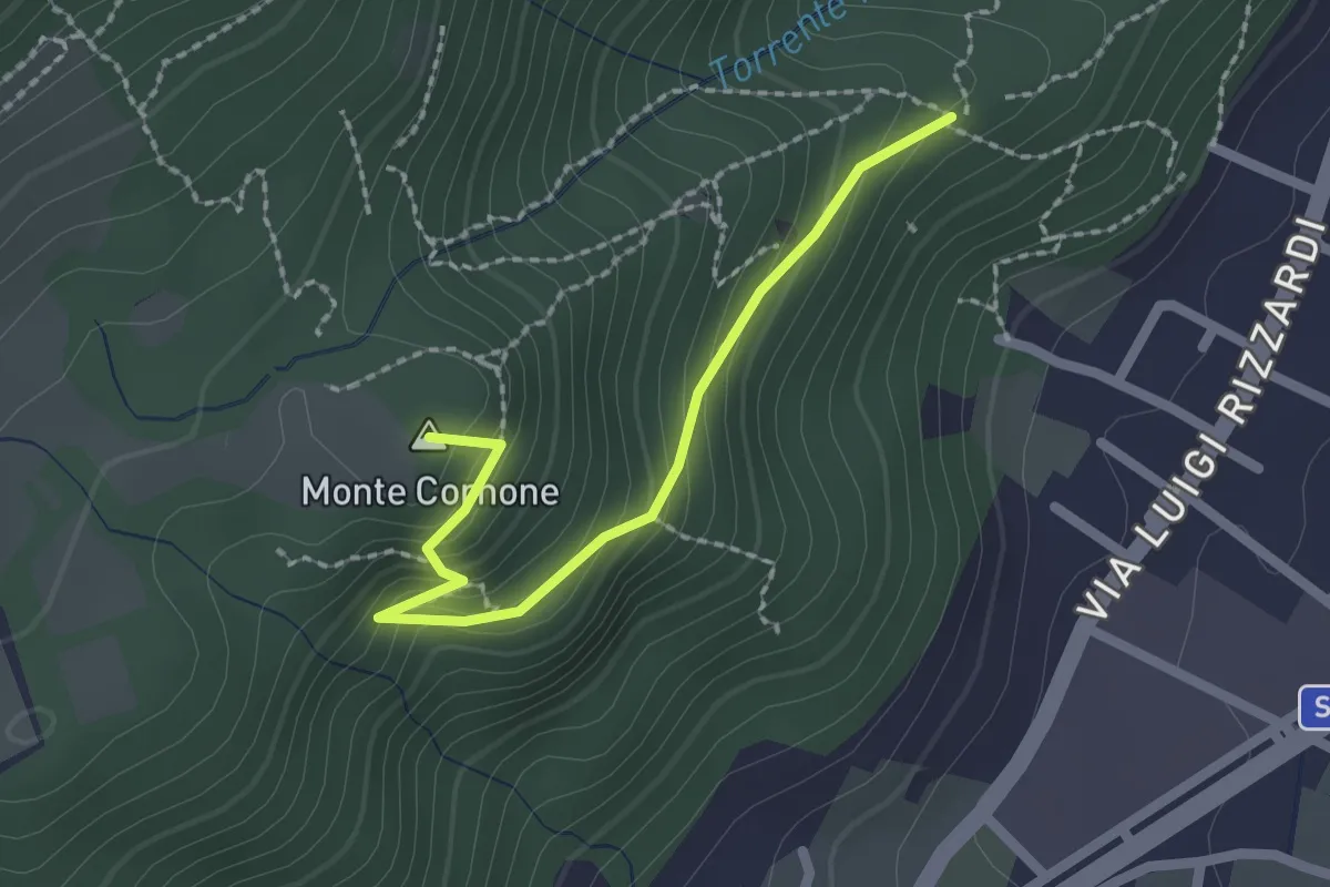
Demanding · Summit
Sentiero D - Variante Monte Cornone
2.1 km · ↑ 170 m · 52 min · 3 km away
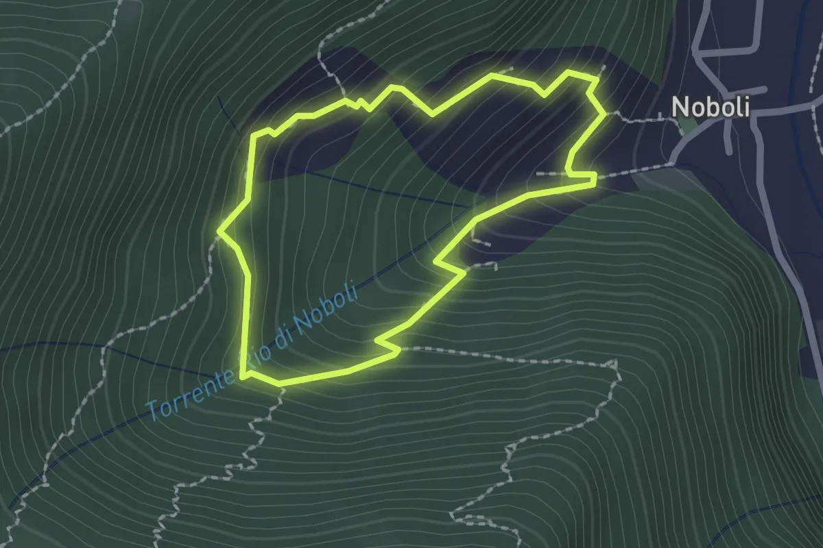
Medium · Trail
La Via dei marù
1.8 km · ↑ 182 m · 50 min · 3 km away
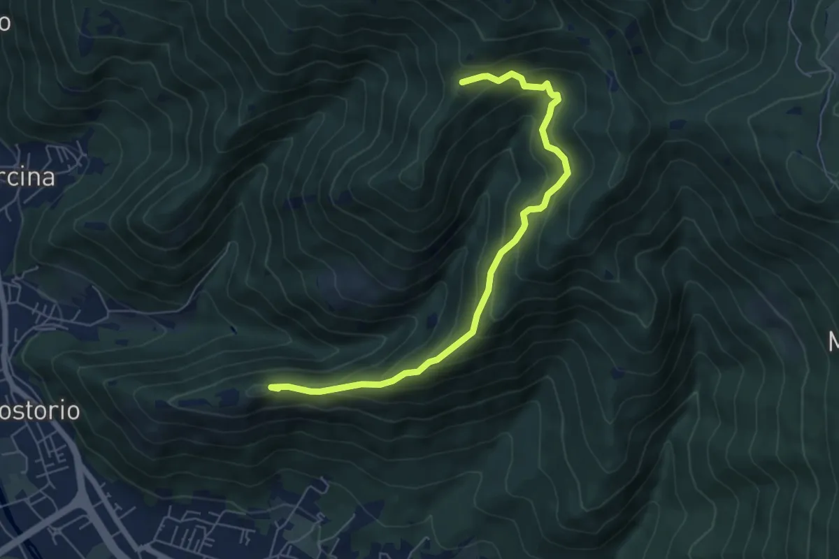
Medium · Summit
Concesio (Costorio) – Tesa del Condigolo (Innesto sentiero 378)
6.4 km · ↑ 468 m · 2 h 32 min · 3 km away
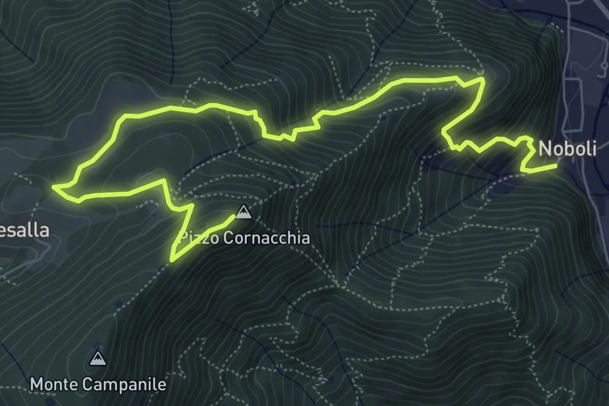
Medium · Summit
Sarezzo (Noboli) - Pizzo Cornacchia
9.1 km · ↑ 682 m · 3 h 37 min · 3 km away
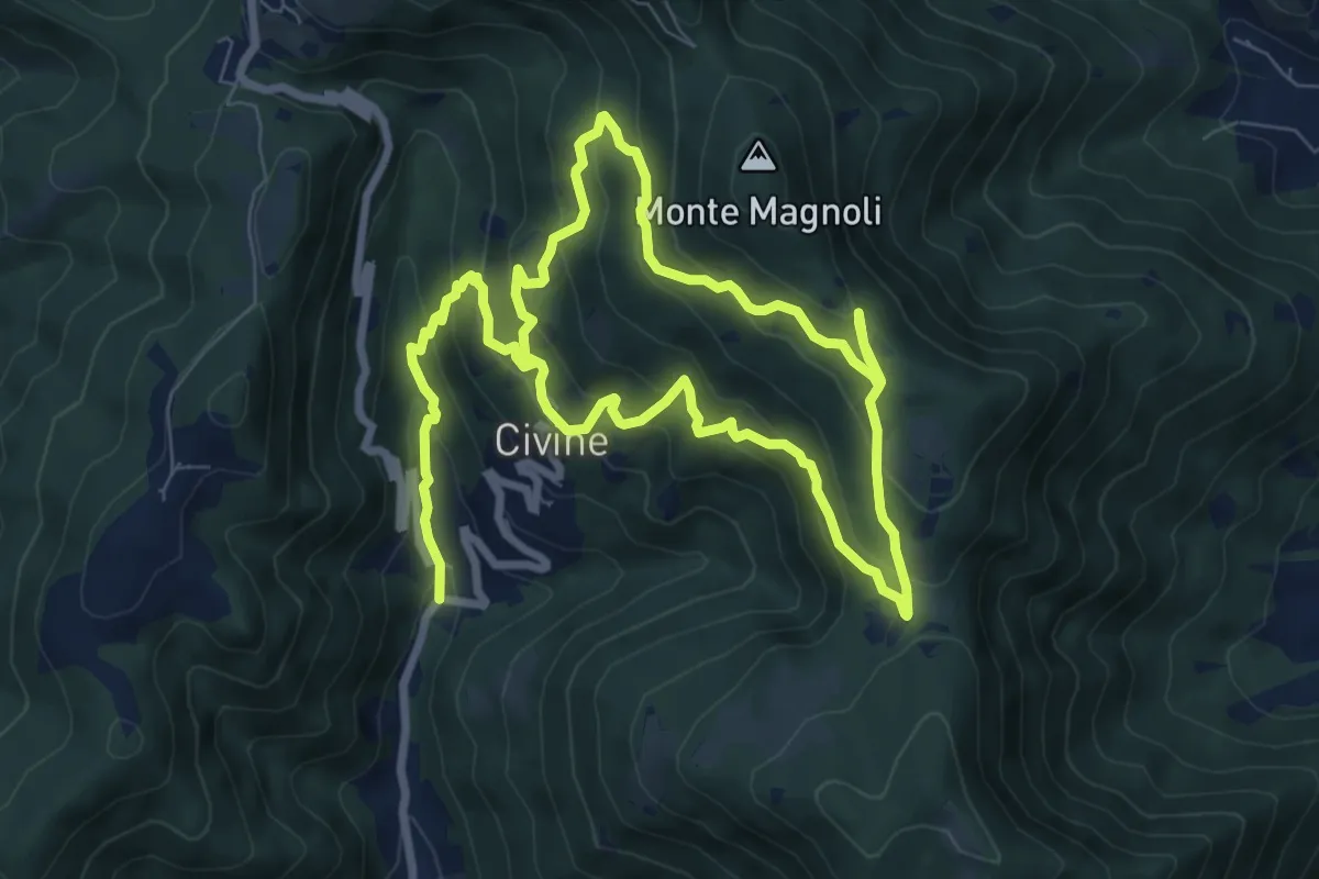
Medium · Trail
Sentiero Aldo Giacomini
7.5 km · ↑ 375 m · 2 h 49 min · 3 km away
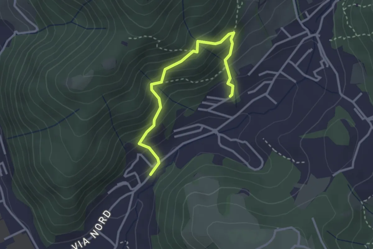
Medium · Trail
Sentiero del Dosalì
2.9 km · ↑ 340 m · 1 h 25 min · 3 km away
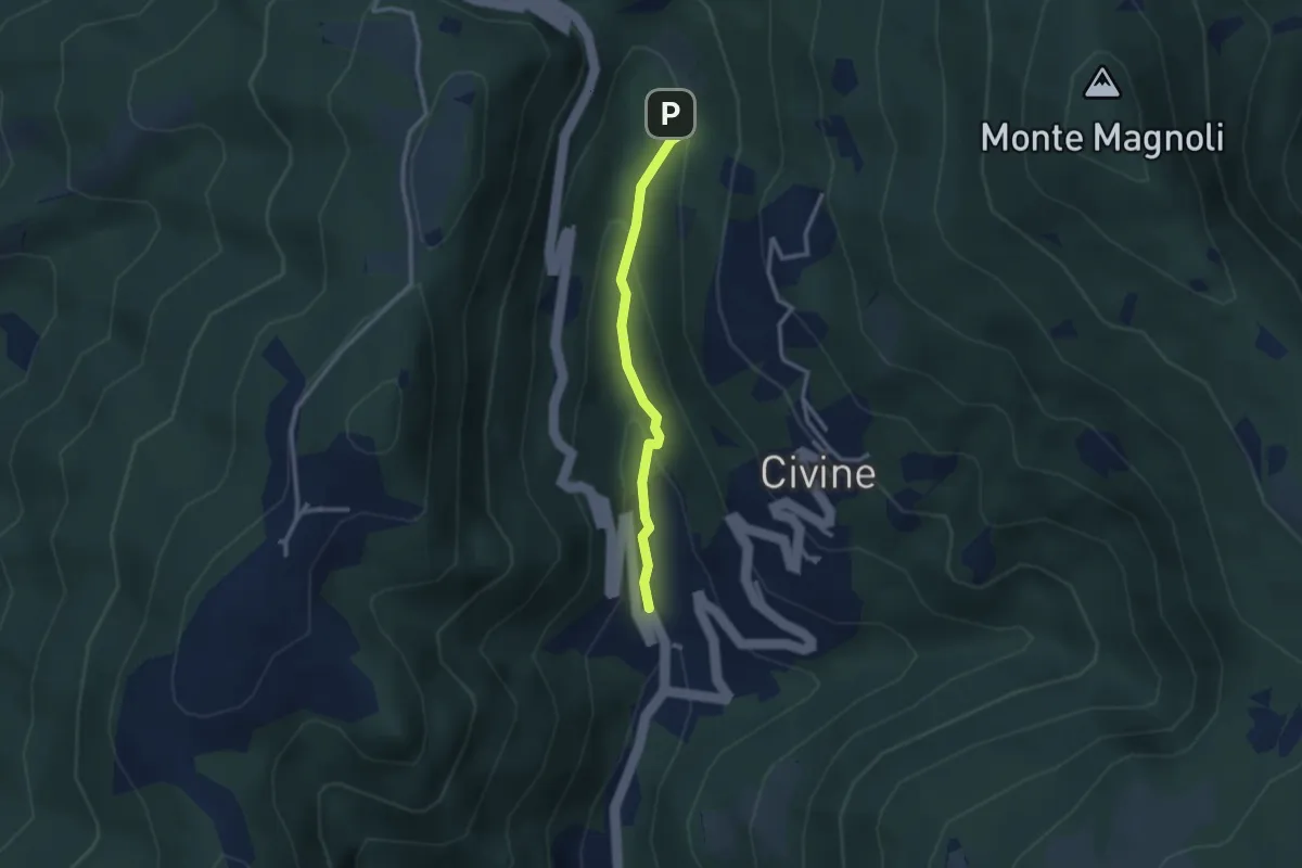
Medium · Trail
Sentiero Battista e Nicolina Drera
2.5 km · ↑ 124 m · 51 min · 3 km away
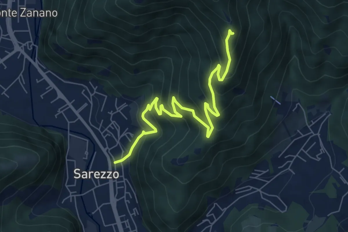
Medium · Trail
Sarezzo (Zanano) - Passata
7.2 km · ↑ 615 m · 3 h 1 min · 3 km away
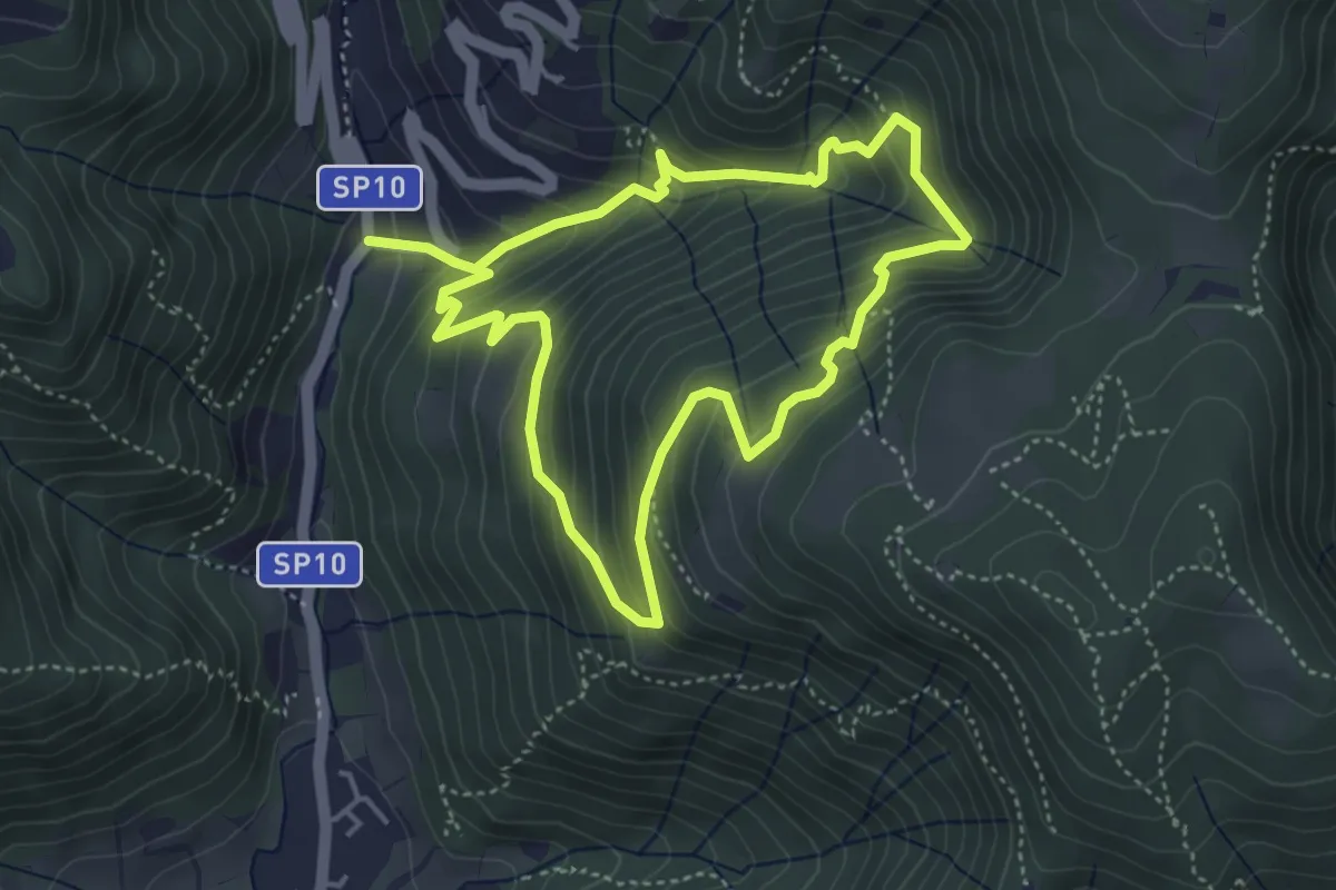
Medium · Trail
Sentiero della Valle Gandine
4.1 km · ↑ 358 m · 1 h 48 min · 3 km away
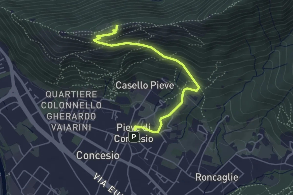
Medium · Cabin
Concesio (Pieve) – Monte Verdura
4.4 km · ↑ 333 m · 1 h 46 min · 4 km away
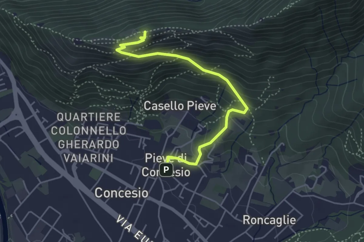
Medium · Cabin
Concesio (Pieve) - Monte Verdura
4.4 km · ↑ 333 m · 1 h 46 min · 4 km away
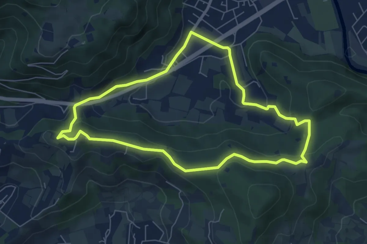
Easy · Trail
Concesio - Valsorda
6.0 km · ↑ 208 m · 1 h 57 min · 4 km away
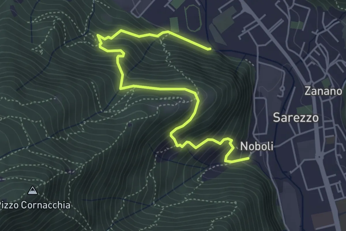
Medium · Trail
Sentiero 3 BIS - Variante C
5.6 km · ↑ 517 m · 2 h 26 min · 4 km away
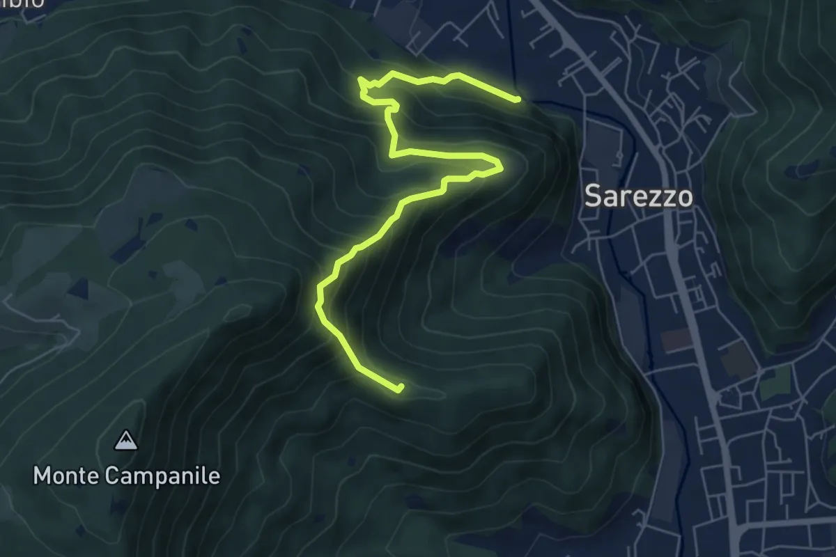
Medium · Summit
Sarezzo (Noboli) - Gelè
6.7 km · ↑ 703 m · 3 h 7 min · 4 km away