Trails near Villa Carcina
299 hikes starting within 15 km, nearest first.
Nearest first, page 3 of 7
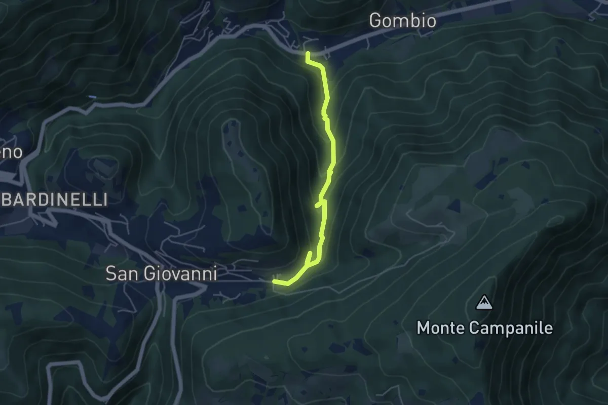
Medium · Trail
Sentiero delle Sorgenti e dei Lupi
4.4 km · ↑ 275 m · 1 h 38 min · 5 km away
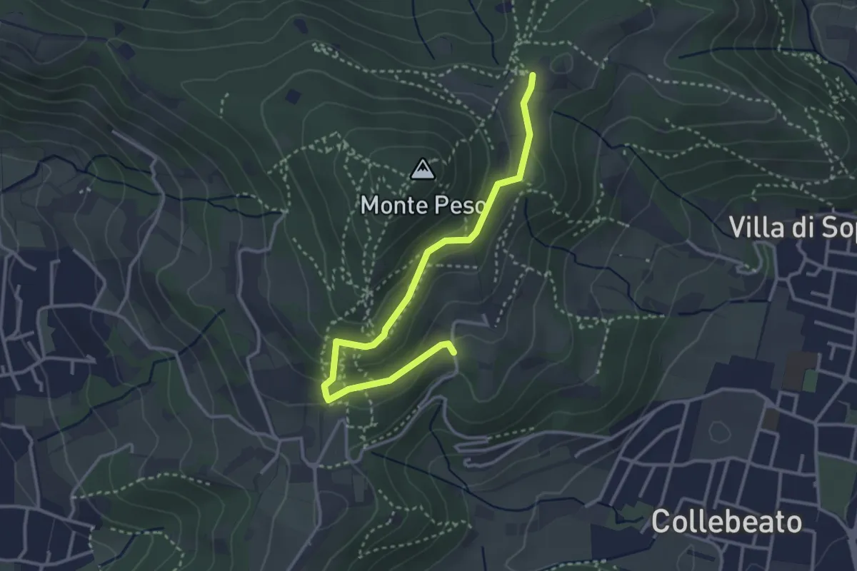
Easy · Trail
Collebeato (Campianelli di Sotto) – Ex Convento dii Santo Stefano
3.5 km · ↑ 158 m · 1 h 10 min · 5 km away
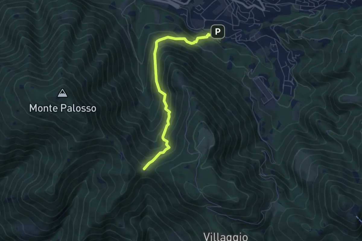
Medium · Trail
Lumezzane (Faidana) - Innesto Sentiero 371
6.4 km · ↑ 552 m · 2 h 43 min · 5 km away
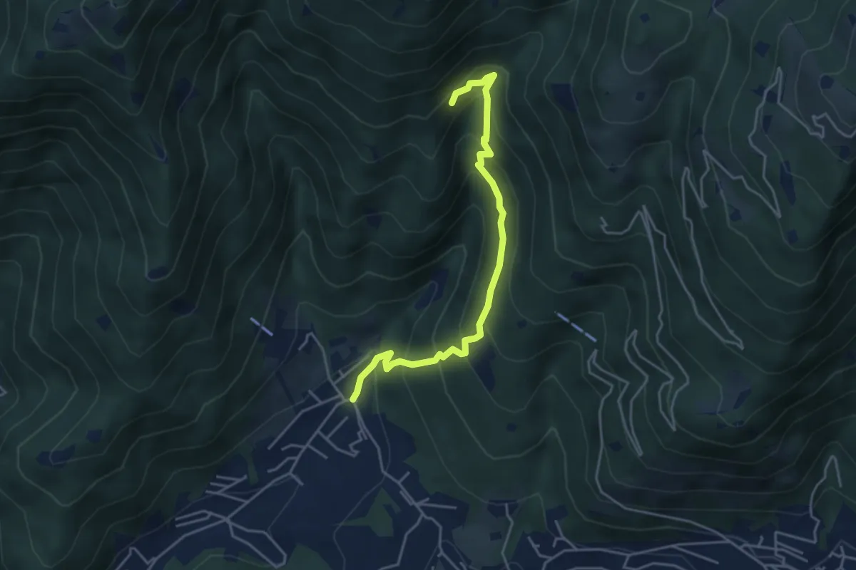
Medium · Trail
Sarezzo - Val Redocla
4.3 km · ↑ 392 m · 1 h 52 min · 5 km away
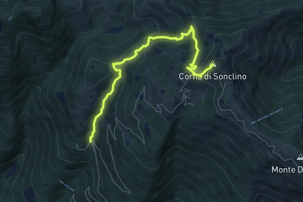
Medium · Summit
Lumezzane (Buca di Porticelle) - Corna di Sonclino
6.1 km · ↑ 583 m · 2 h 41 min · 5 km away
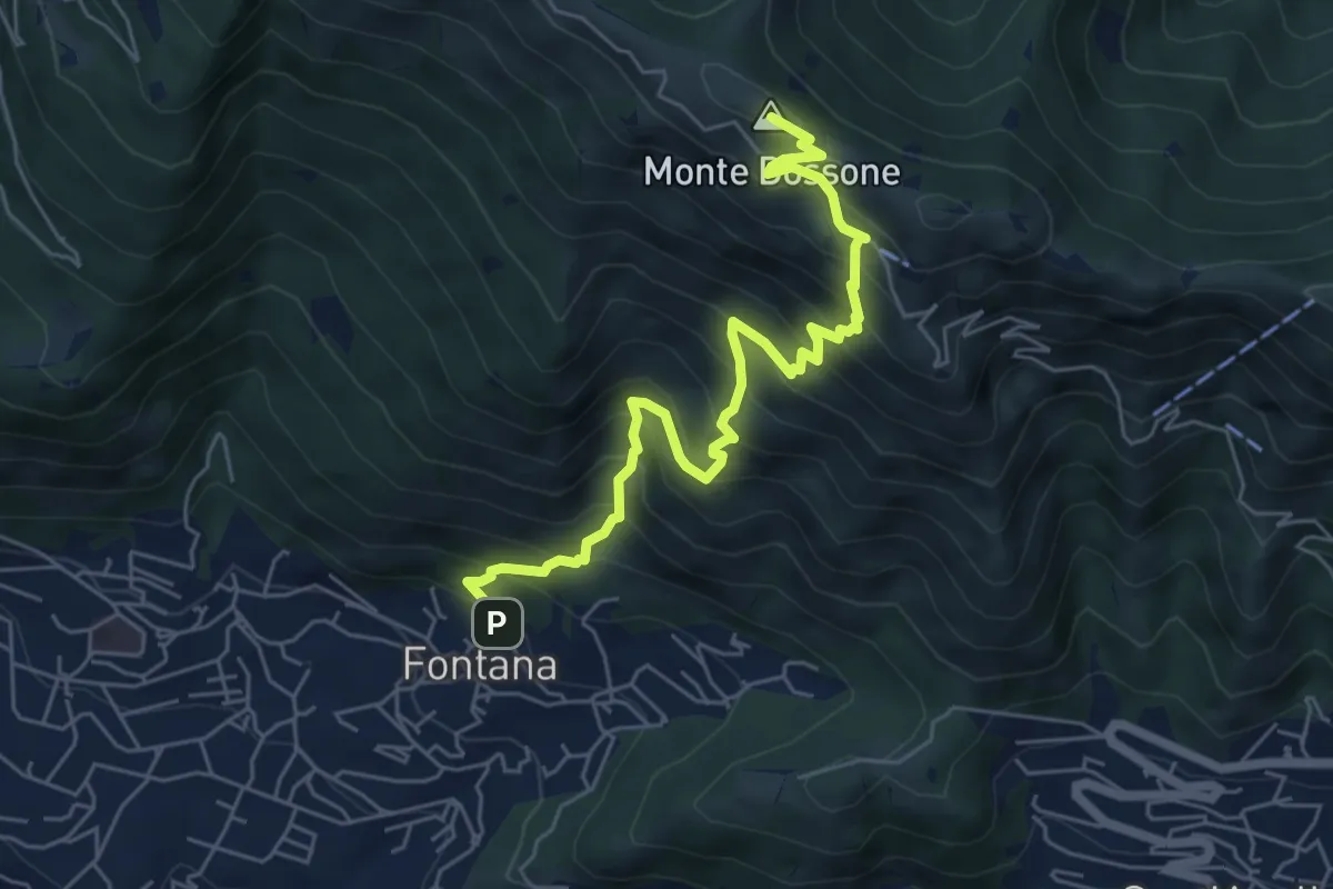
Medium · Summit
Lumezzane (Fontana) - Monte Dossone
6.5 km · ↑ 760 m · 3 h 11 min · 5 km away
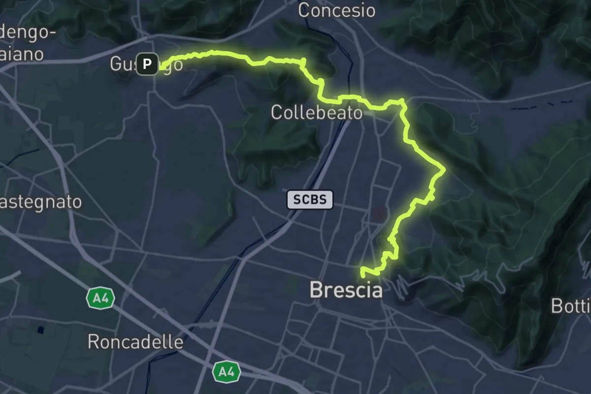
Medium · Summit
La Via delle Sorelle - Tappa 1 variante bassa
16.4 km · ↑ 431 m · 5 h · 5 km away
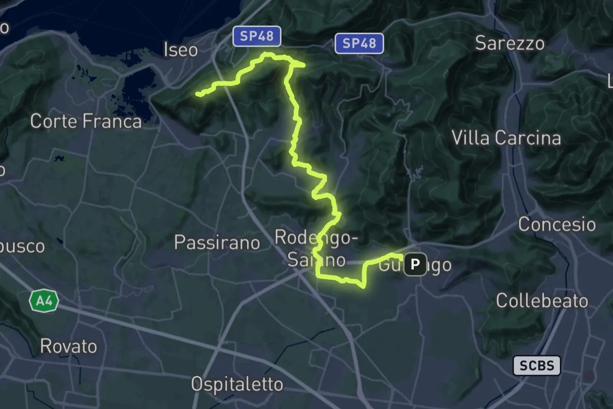
Demanding · Summit
La Via delle Sorelle - Tappa 2
20.0 km · ↑ 651 m · 6 h 10 min · 5 km away
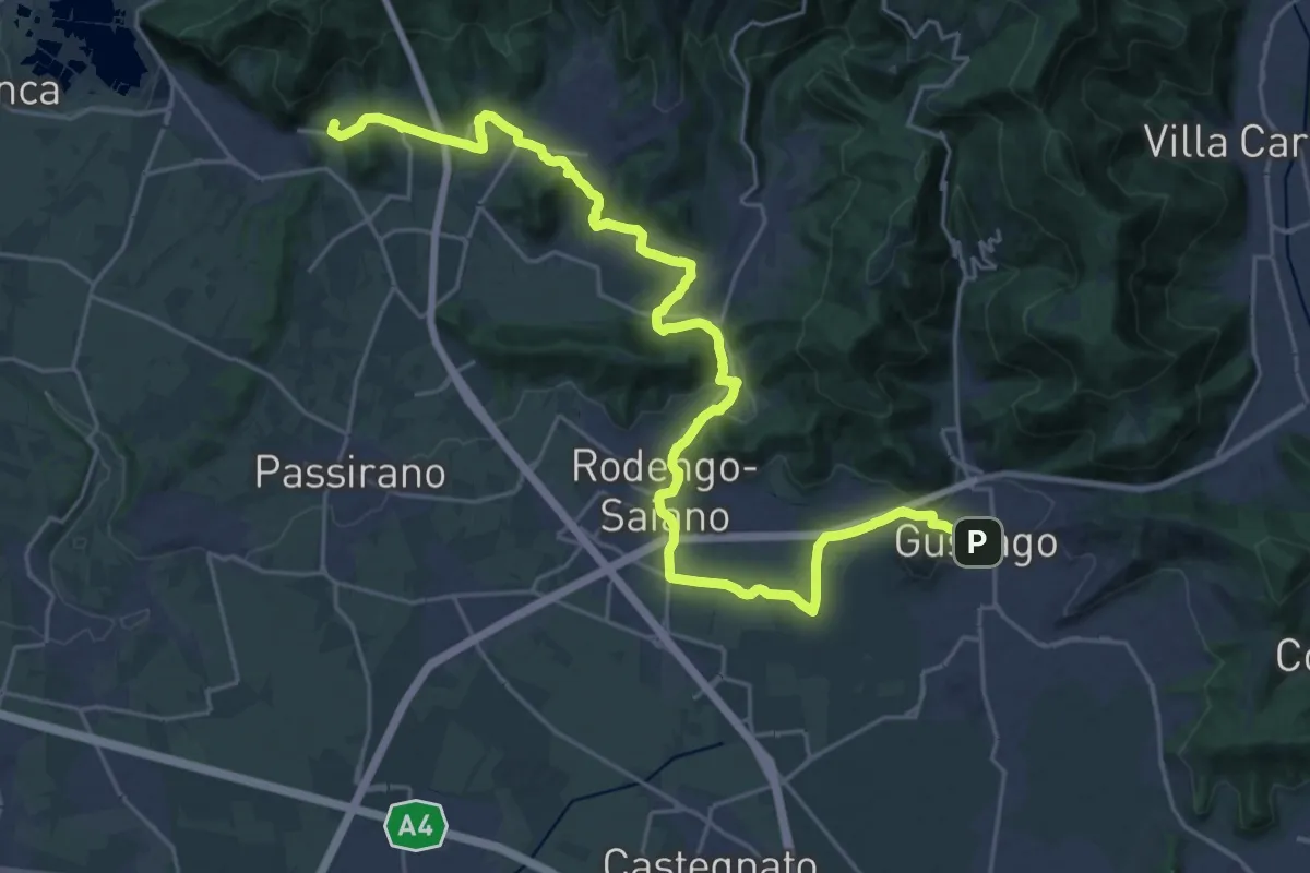
Medium · Summit
La Via delle Sorelle - Tappa 2 variante bassa
15.3 km · ↑ 256 m · 4 h 19 min · 5 km away
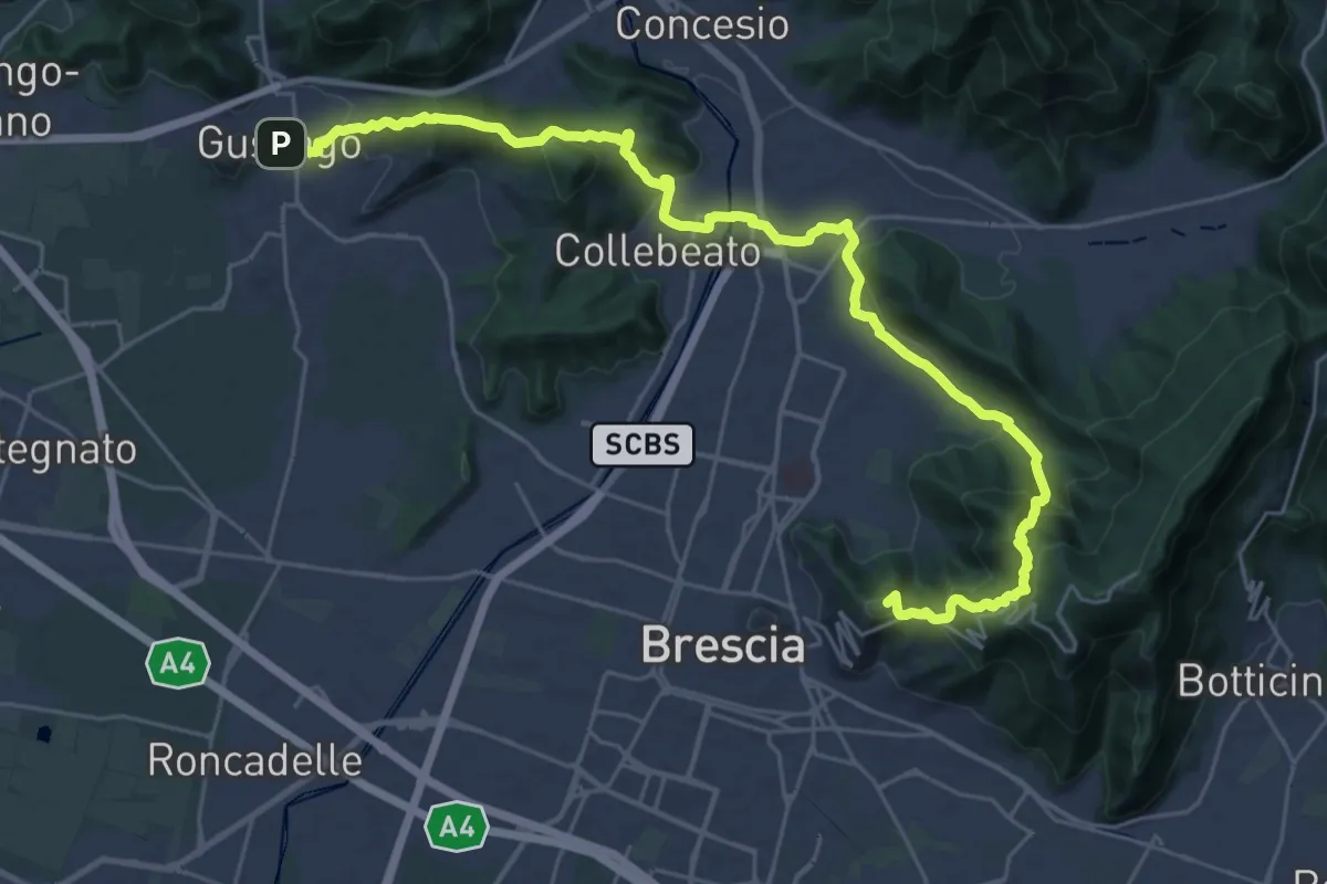
Medium · Summit
La Via delle Sorelle - Tappa 1
16.8 km · ↑ 713 m · 5 h 37 min · 5 km away
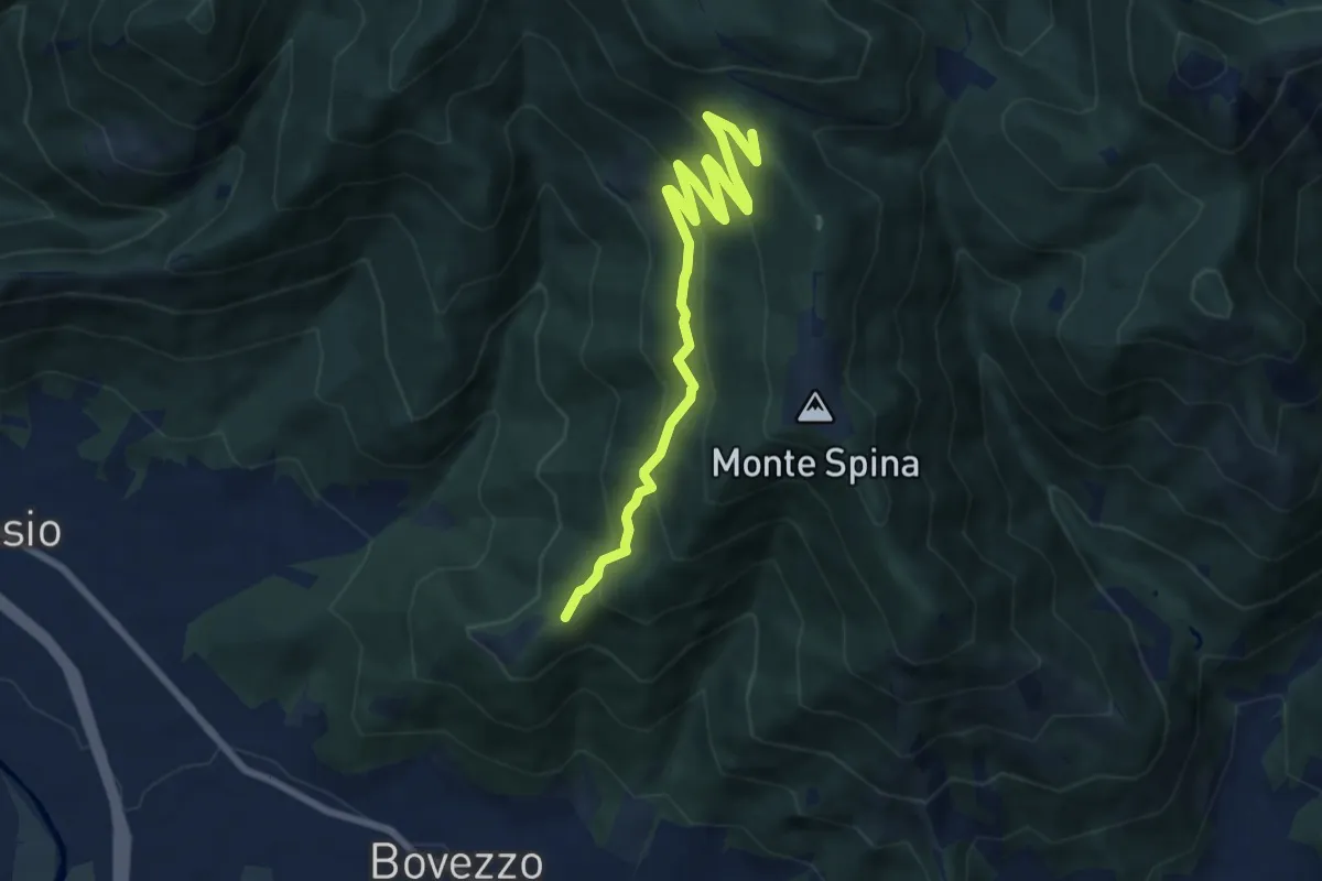
Medium · Trail
Bovezzo (Santella delle Pentere) – Strada del Sant'Onofrio
8.5 km · ↑ 469 m · 3 h 1 min · 5 km away
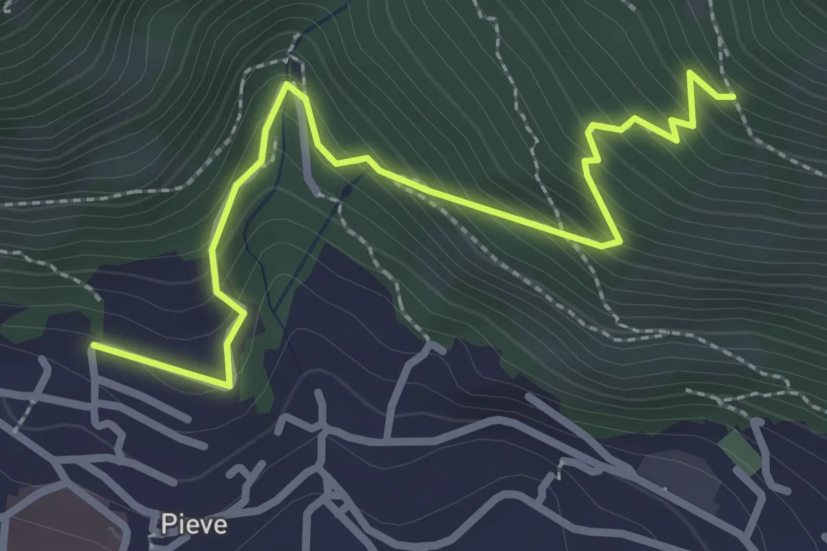
Medium · Trail
Lumezzane (Pieve) - Valle dei Fiori - Dossello
2.9 km · ↑ 292 m · 1 h 19 min · 6 km away
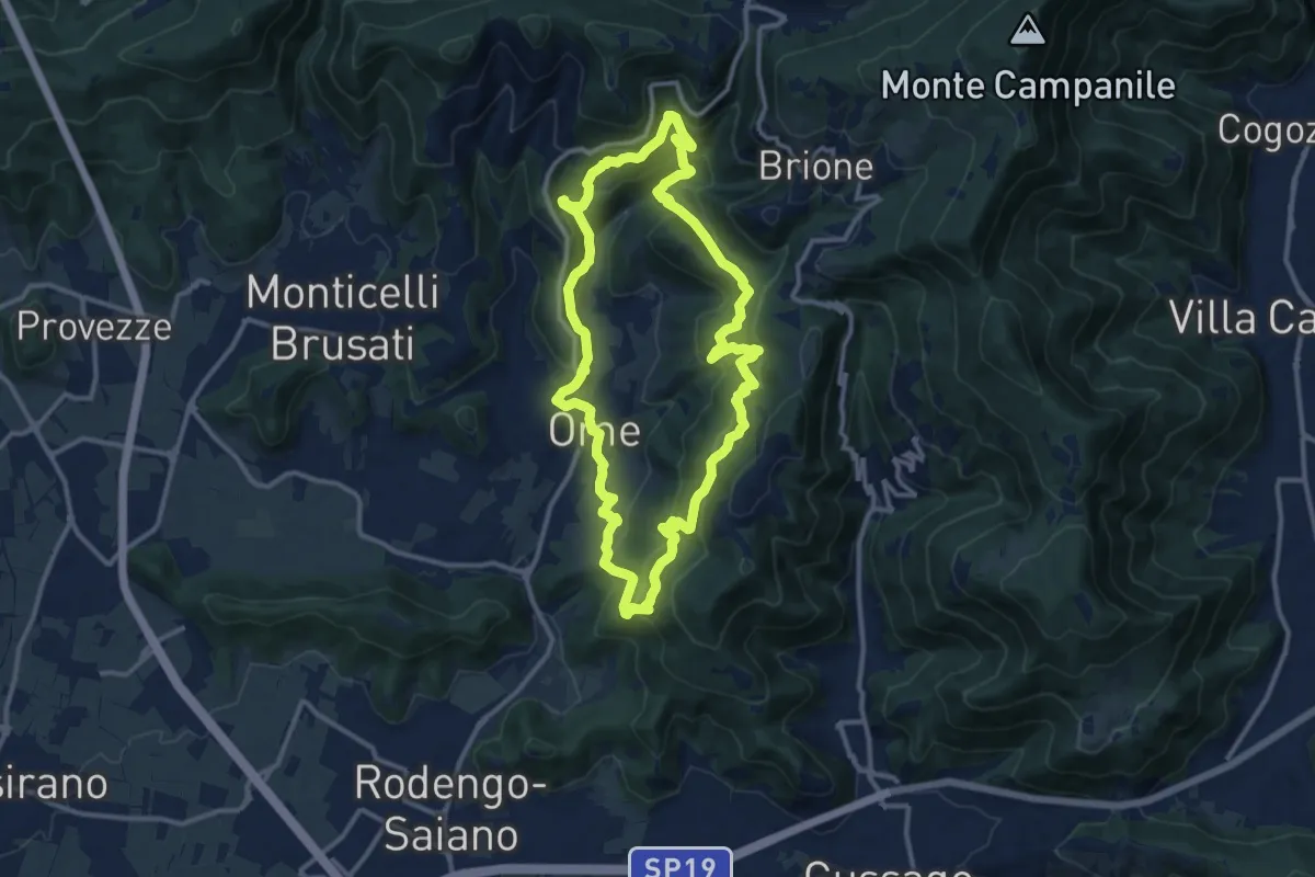
Medium · Trail
Sentiero dei funghi
12.1 km · ↑ 736 m · 4 h 37 min · 6 km away
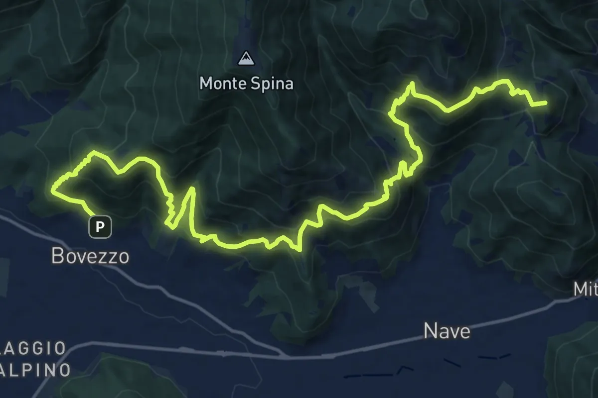
Demanding · Summit
Sentiero del Marrone
20.2 km · ↑ 1796 m · 8 h 40 min · 6 km away
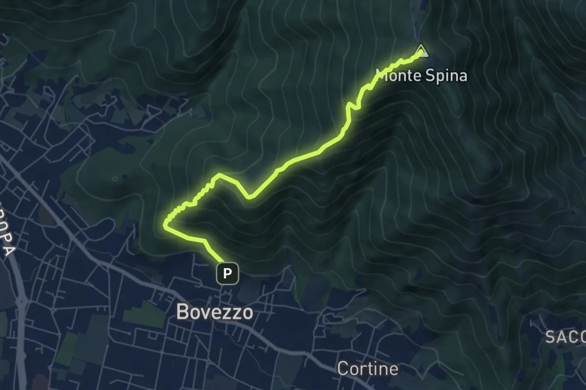
Medium · Summit
Bovezzo (Via Castello) – Sant'Onofrio
6.9 km · ↑ 705 m · 3 h 10 min · 6 km away
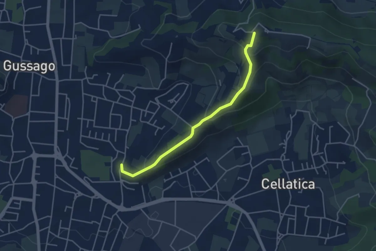
Easy · Trail
Cellatica (Casaglio) – Santuario della Stella
3.6 km · ↑ 213 m · 1 h 19 min · 6 km away
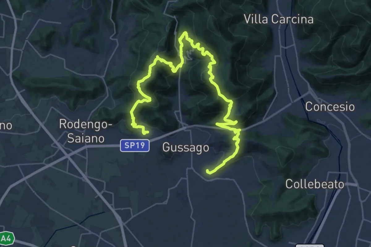
Demanding · Summit
Giro delle Colline
16.7 km · ↑ 1170 m · 6 h 43 min · 6 km away
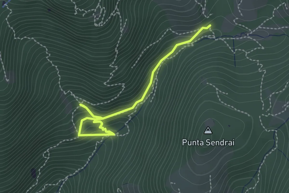
Easy · Trail
Sarezzo - Collegamento sentiero 362 - 359
2.9 km · ↑ 217 m · 1 h 9 min · 6 km away
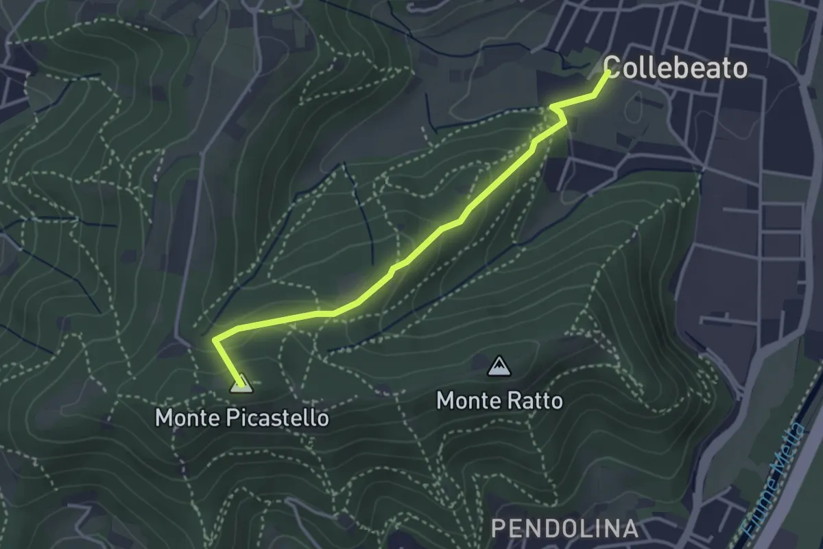
Medium · Summit
Collebeato (Via Angolo di Sotto) – Campiani (Il Merlo)
3.3 km · ↑ 178 m · 1 h 10 min · 6 km away
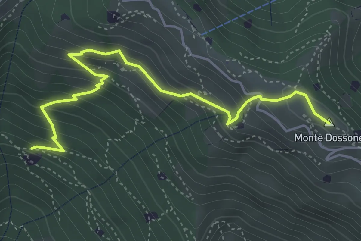
Medium · Summit
Lumezzane (Cascina Al Colonel) - Monte Dossone
4.3 km · ↑ 469 m · 2 h 3 min · 6 km away
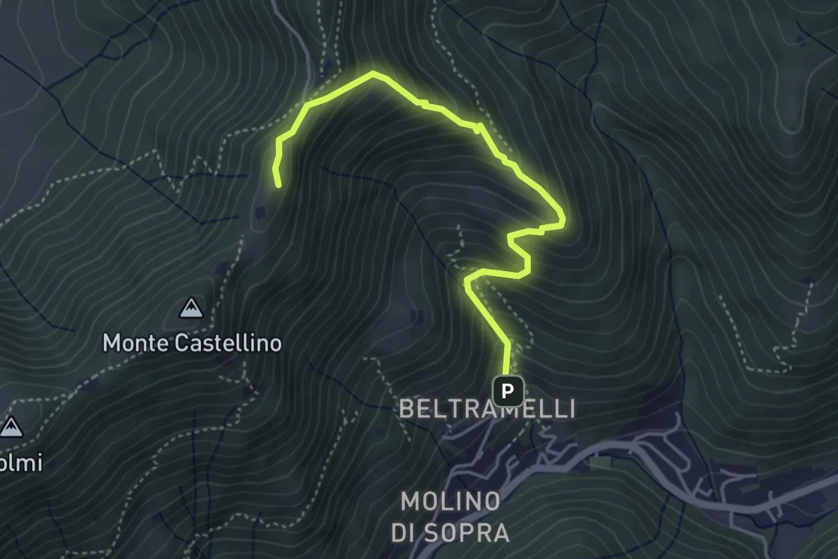
Medium · Cabin
Polaveno (Gombio) - Santa Maria del Giogo
4.3 km · ↑ 452 m · 2 h · 6 km away
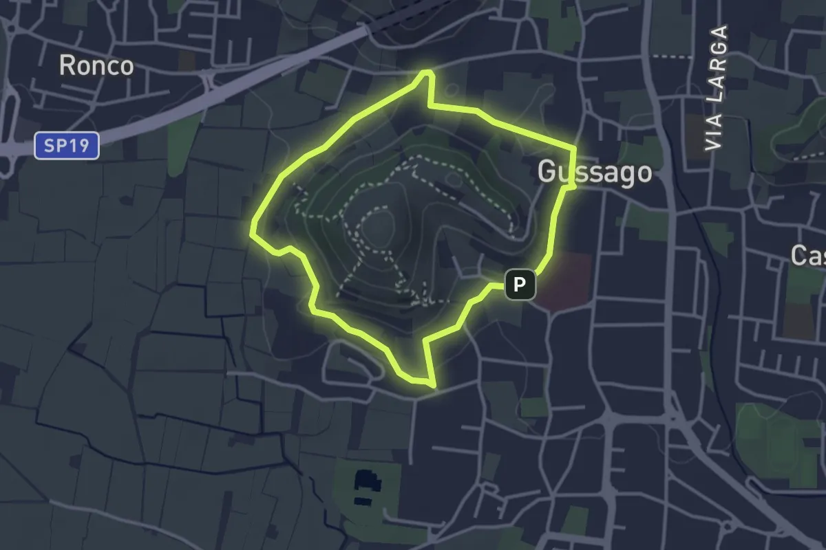
Easy · Trail
Periplo della Santissima
3.0 km · ↑ 70 m · 54 min · 6 km away
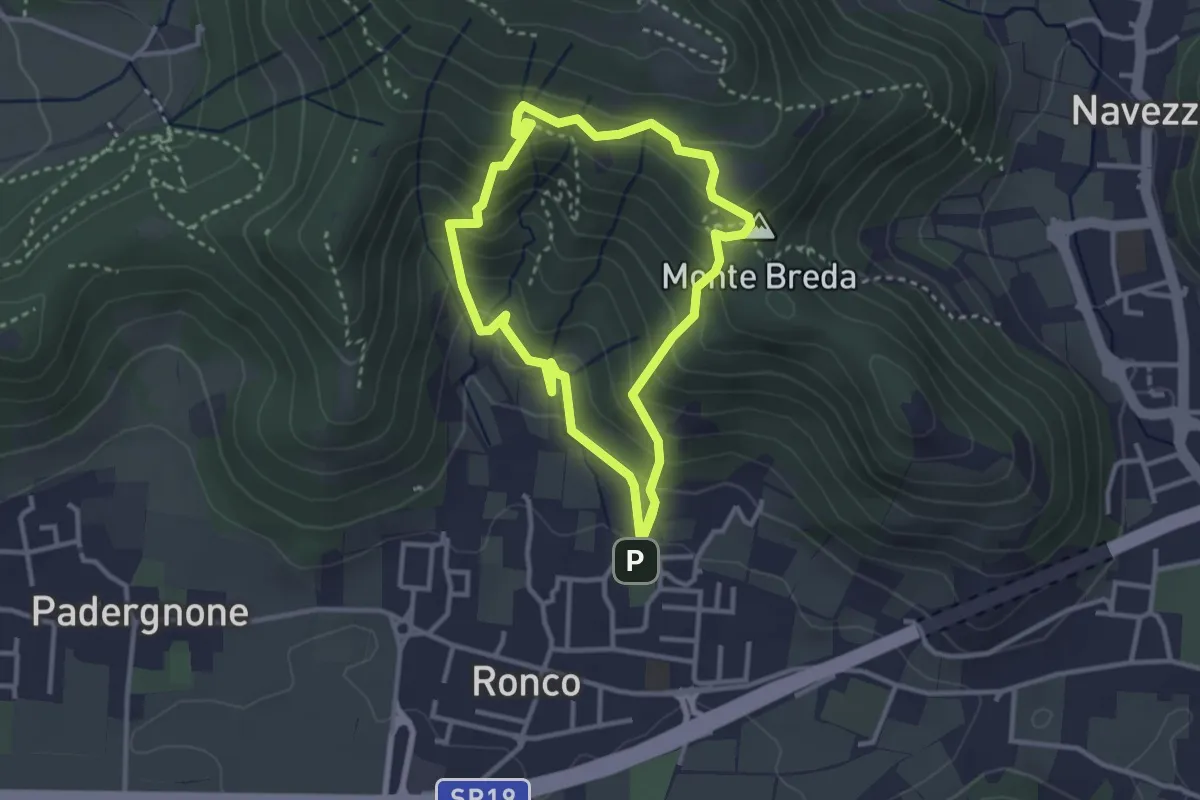
Medium · Summit
Gussago (Ronco) - Tesa di Sotto - Valle Bianca
2.9 km · ↑ 248 m · 1 h 16 min · 6 km away
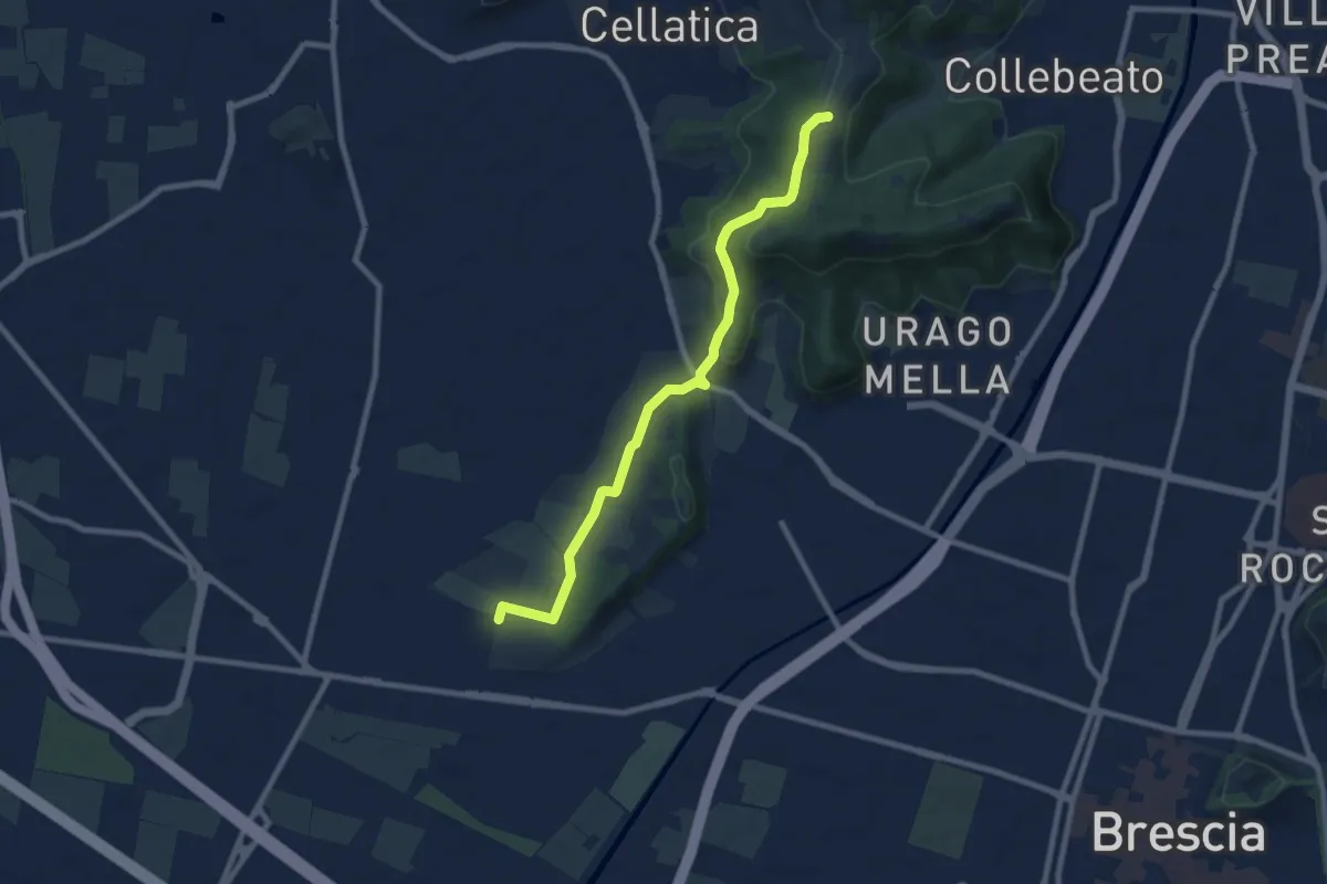
Medium · Trail
Brescia (Via del Santellone) – Campiani (Crosette, innesto sentiero 3V)
8.8 km · ↑ 209 m · 2 h 31 min · 6 km away
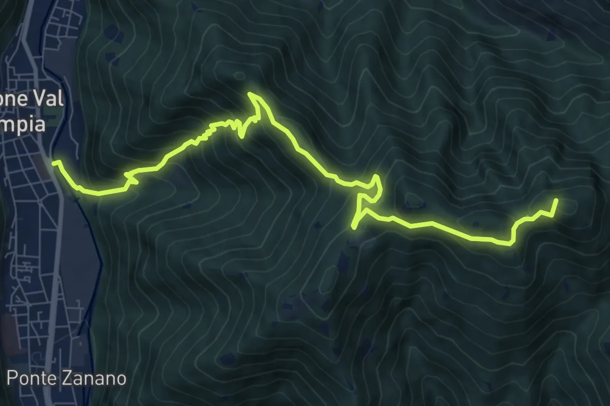
Demanding · Summit
Gardone Val Trompia (Arsenale) – Forcella di Vandeno
10.3 km · ↑ 972 m · 4 h 33 min · 6 km away
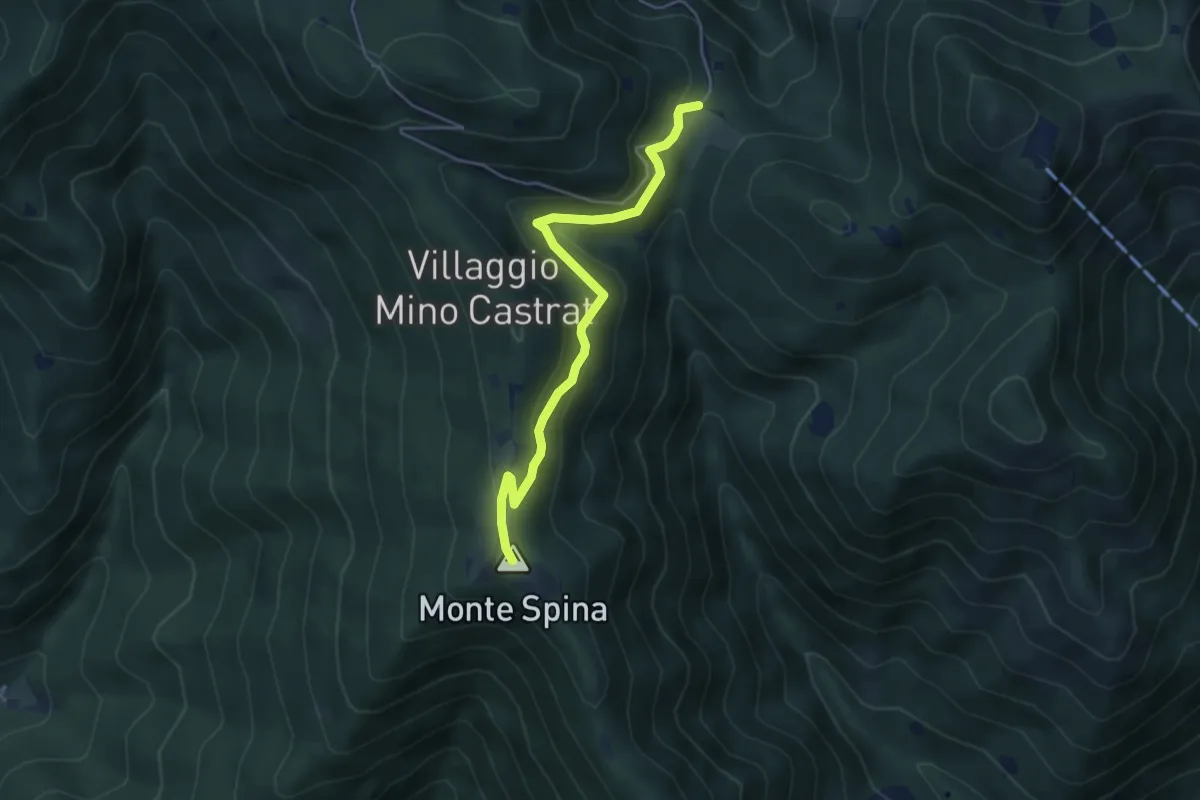
Medium · Summit
Nave (Sacca) - Cascina Cocca
4.7 km · ↑ 209 m · 1 h 33 min · 6 km away
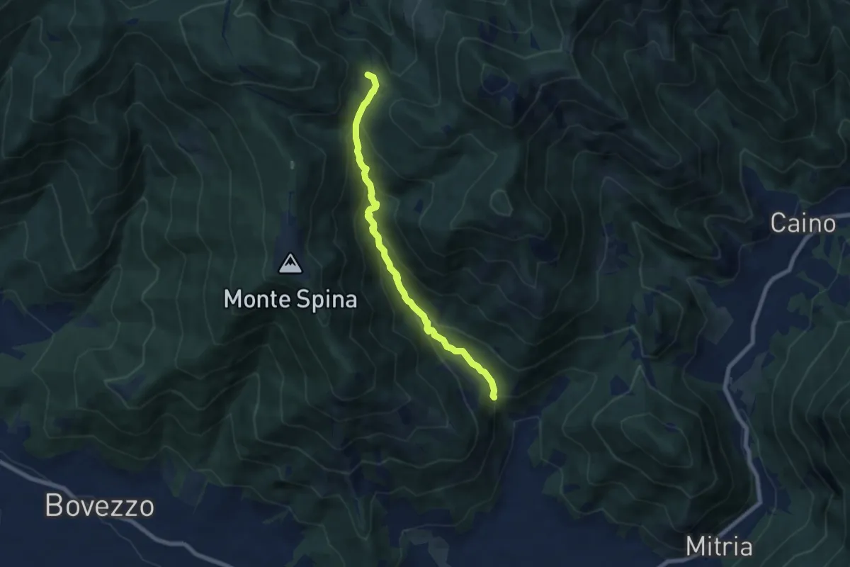
Demanding · Trail
Nave (La Corna) - Cascina Cocca
6.6 km · ↑ 417 m · 2 h 27 min · 6 km away
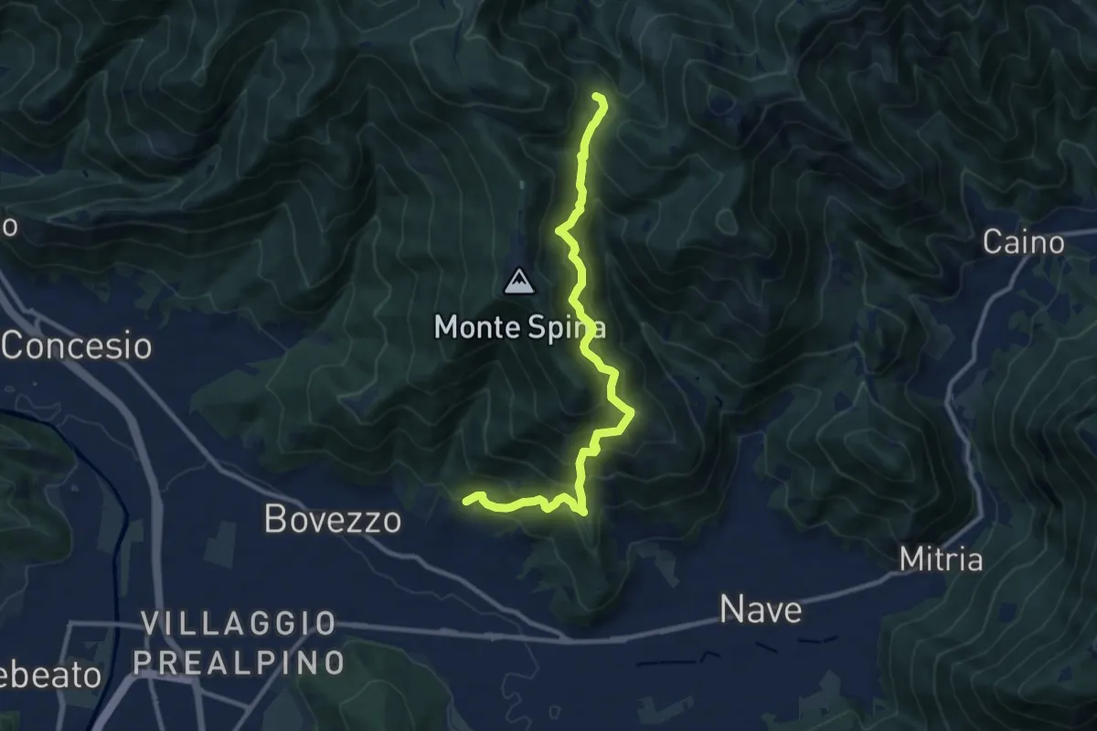
Demanding · Trail
Nave (Cortine) - Cascina Cocca
10.8 km · ↑ 913 m · 4 h 32 min · 6 km away
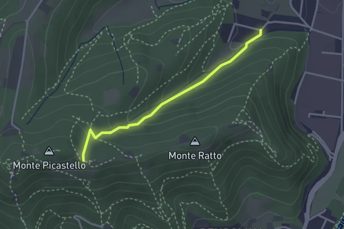
Easy · Trail
Collebeato (Campo de Carlì) – Innesto Sentiero 217
2.5 km · ↑ 158 m · 56 min · 6 km away
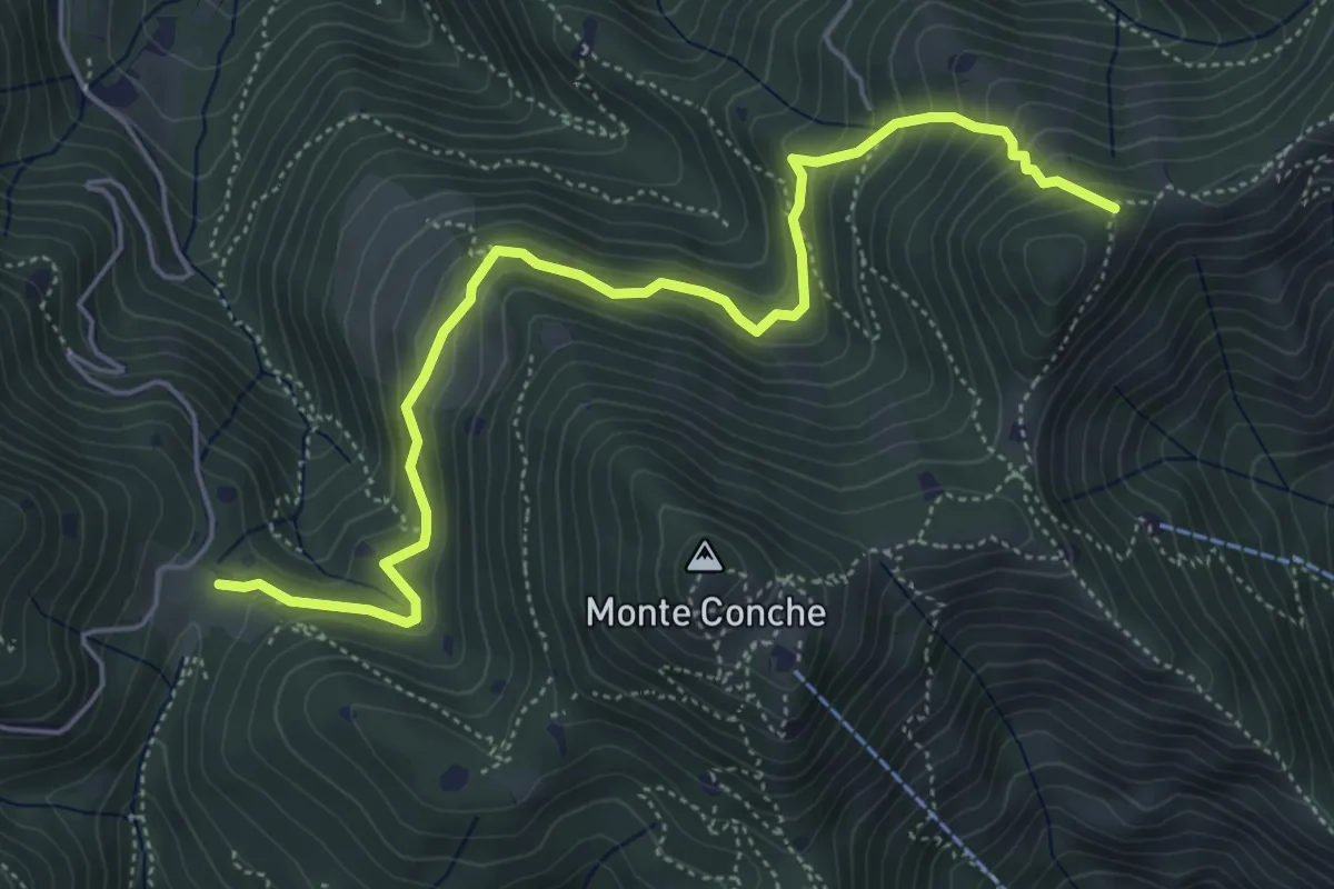
Medium · Trail
Lumezzane (Cascina Cocca) – Forcella di Calone
5.8 km · ↑ 474 m · 2 h 24 min · 6 km away
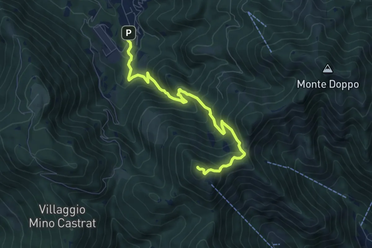
Medium · Summit
Lumezzane (Via Ruca) – Cascina Cocca
8.4 km · ↑ 670 m · 3 h 26 min · 6 km away
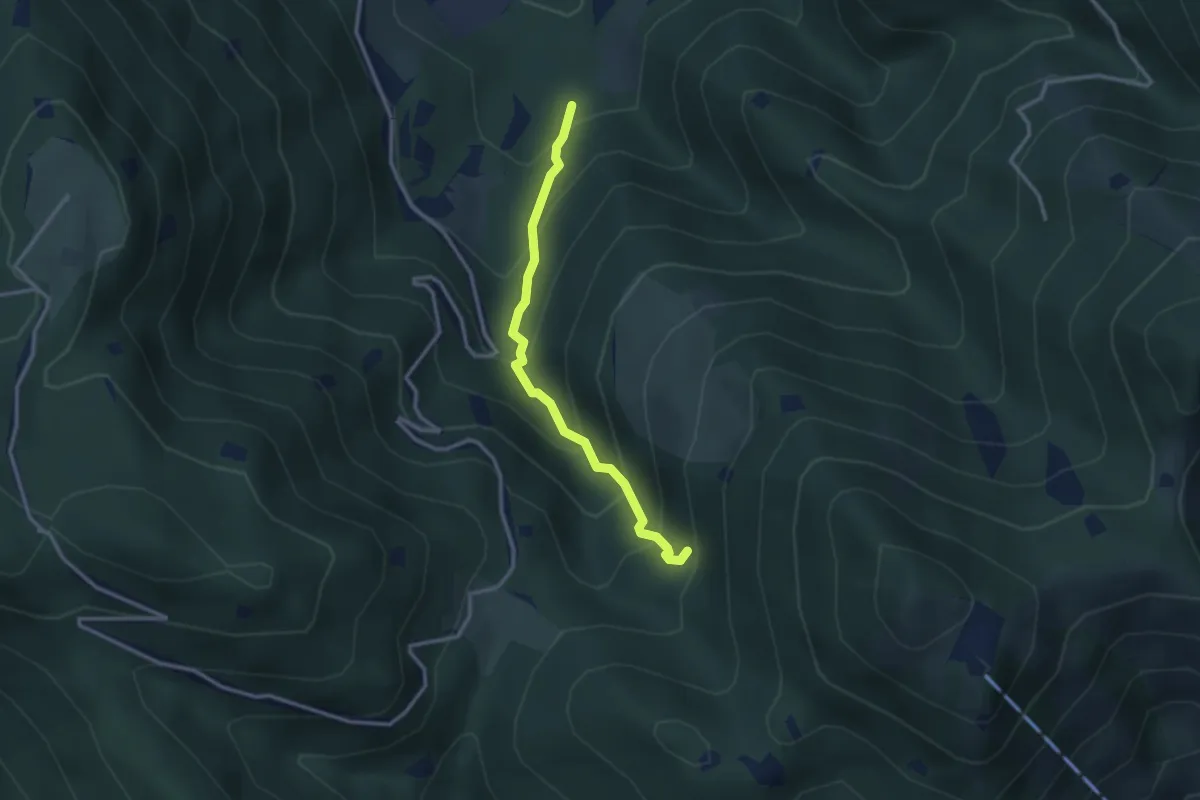
Medium · Trail
Lumezzane (Innesto Sentiero 374) - Fontanì de A'bie - Innesto Sentiero 375
2.7 km · ↑ 300 m · 1 h 18 min · 6 km away
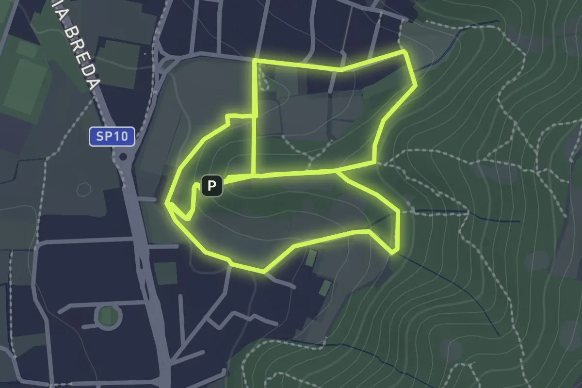
Easy · Trail
Percorso del Colle San Rocco
3.3 km · ↑ 89 m · 1 h 1 min · 6 km away
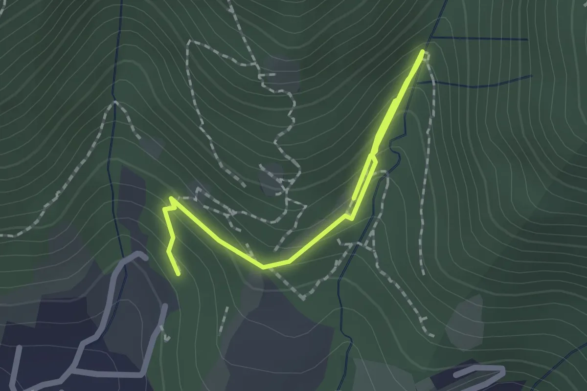
Medium · Trail
Percorso botanico
2.7 km · ↑ 231 m · 1 h 9 min · 6 km away
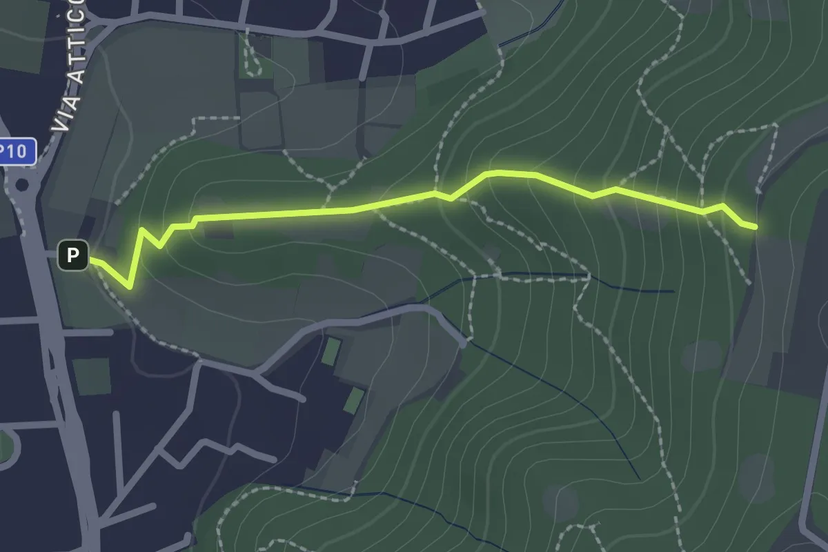
Medium · Trail
Cellatica (Via San Rocco) – Campiani (Innesto Sentiero 219)
2.1 km · ↑ 157 m · 50 min · 6 km away
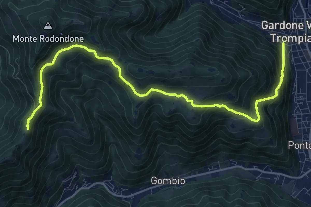
Medium · Cabin
Gardone Val Trompia (Via Santa Maria) – Santa Maria del Giogo
12.2 km · ↑ 728 m · 4 h 27 min · 6 km away
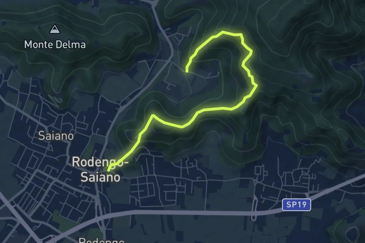
Medium · Trail
Rodengo Saiano (Ponte Cigoli) – Rodengo Saiano (Corneto - Innesto Sentiero 279)
7.5 km · ↑ 561 m · 2 h 59 min · 6 km away
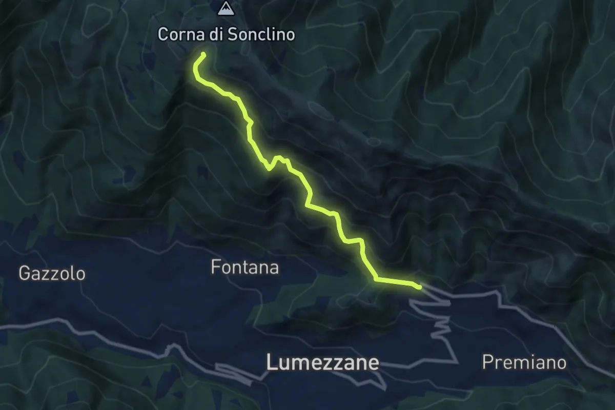
Medium · Trail
Lumezzane (Ver) – Malga Artecle
7.2 km · ↑ 618 m · 3 h 2 min · 6 km away
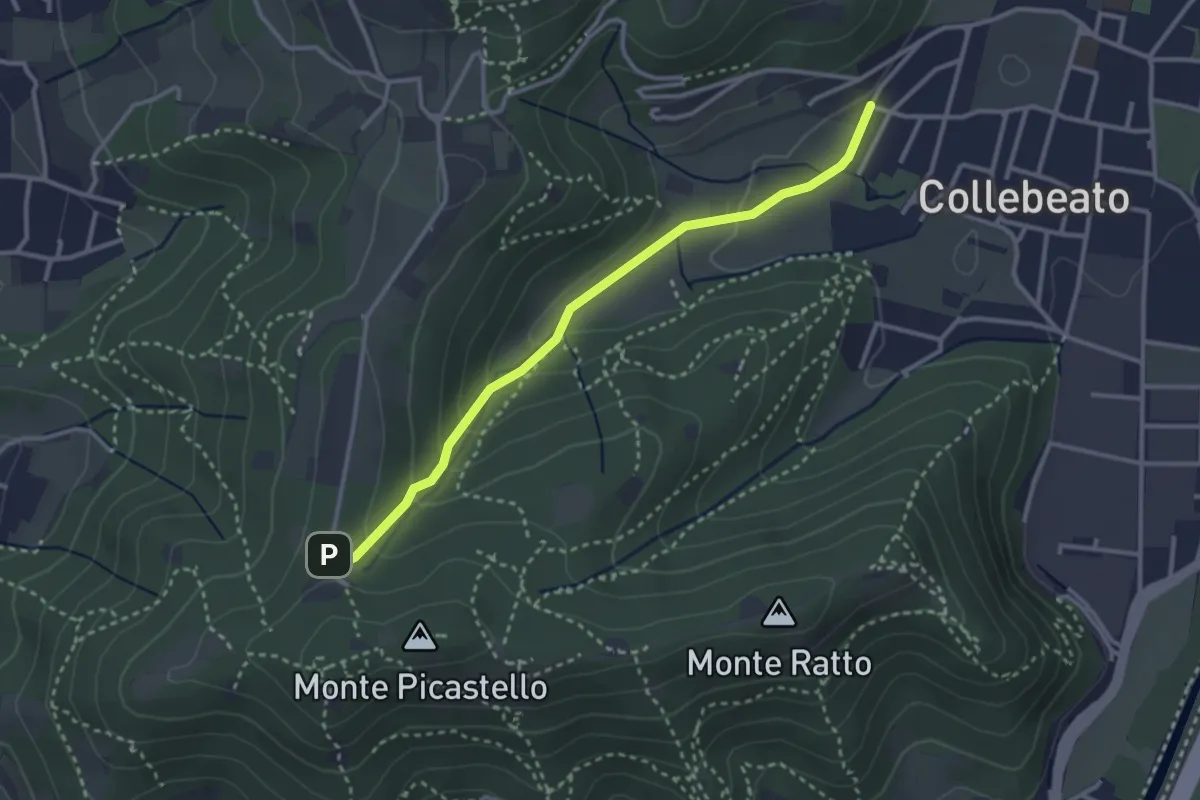
Medium · Trail
Collebeato (Angolo di Sopra) – Campiani (Il Merlo)
3.1 km · ↑ 131 m · 1 h 1 min · 6 km away
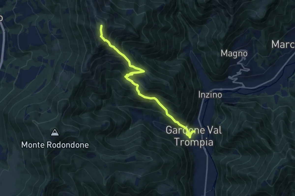
Demanding · Summit
Gardone Val Trompia (Piazzetto / Centro storico) – Punta Almana
10.5 km · ↑ 1088 m · 4 h 51 min · 6 km away
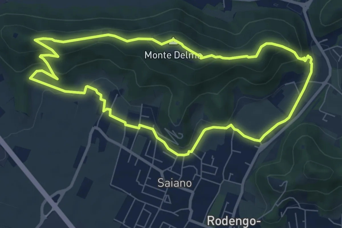
Medium · Summit
Giro del Monte Delma
6.9 km · ↑ 224 m · 2 h 12 min · 6 km away
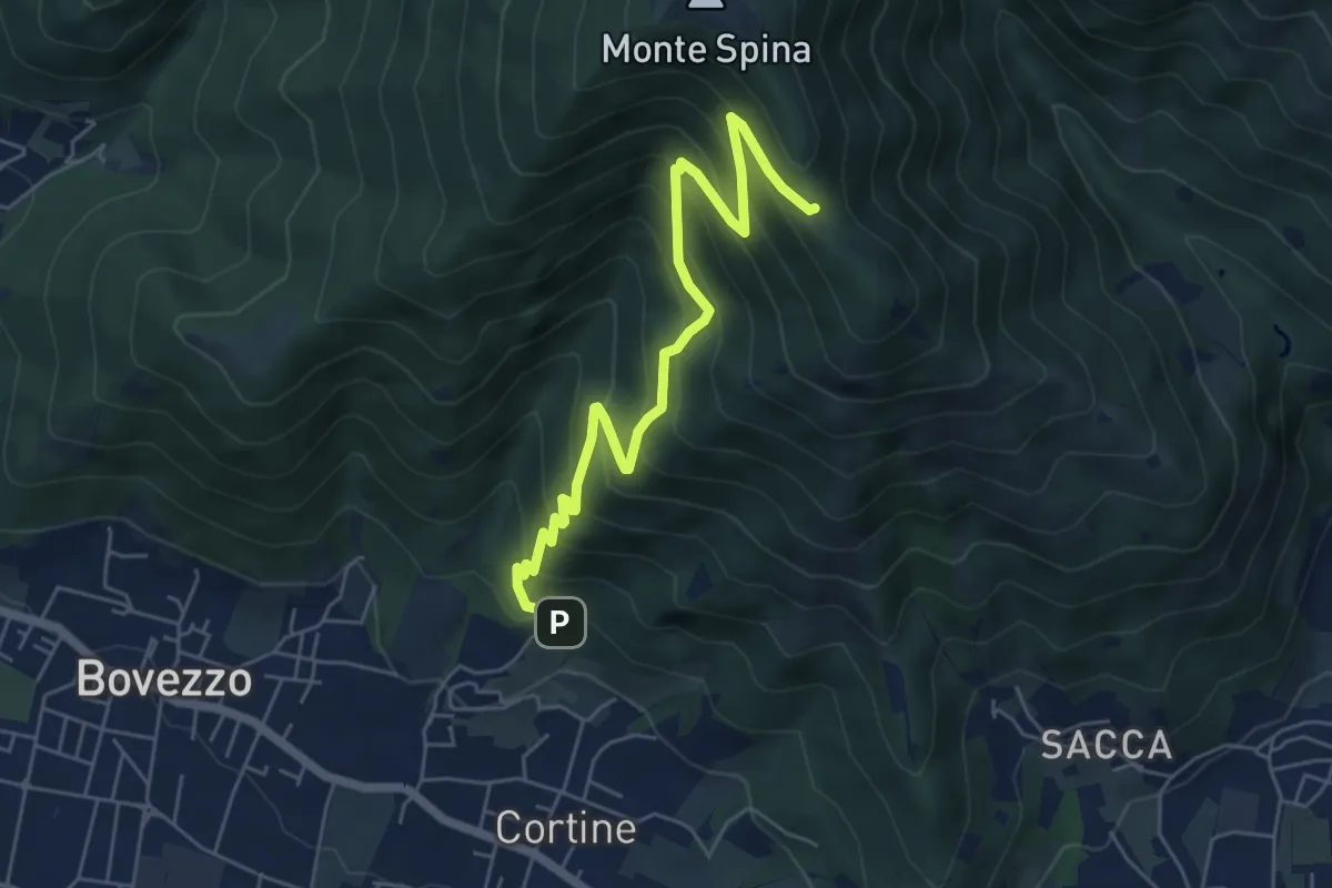
Medium · Cabin
Nave (Cortine - Albergo dei Poveri) – Roccolo Squassina
6.2 km · ↑ 586 m · 2 h 45 min · 7 km away
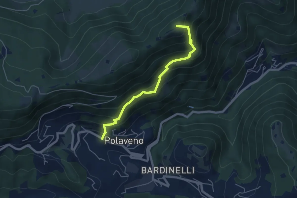
Medium · Summit
Polaveno - Santa Maria del Giogo
4.2 km · ↑ 463 m · 2 h · 7 km away
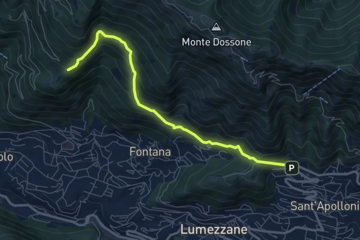
Demanding · Trail
Lumezzane (Ver) – San Bernardo (Bivio Zani Achille)
7.2 km · ↑ 587 m · 2 h 58 min · 7 km away
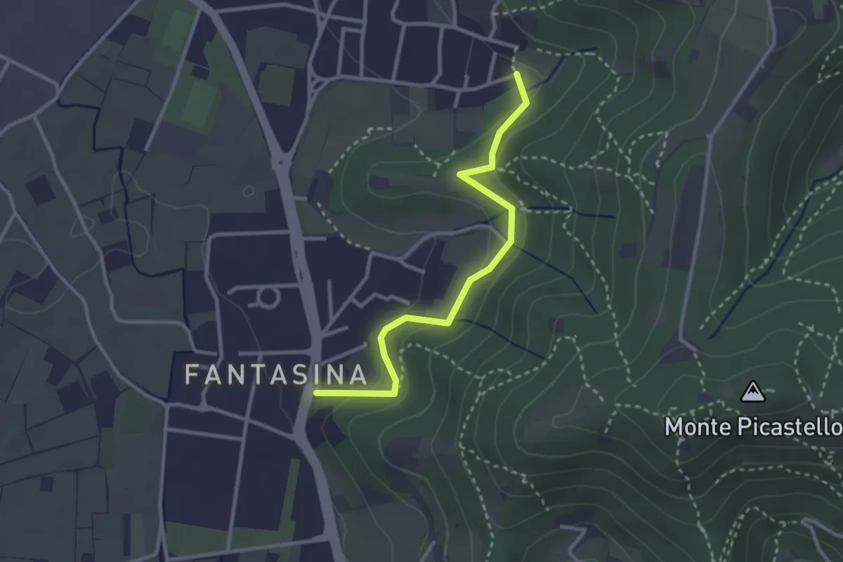
Easy · Trail
Cellatica (Fantasina) – Cellatica (Cantone)
2.9 km · ↑ 101 m · 54 min · 7 km away
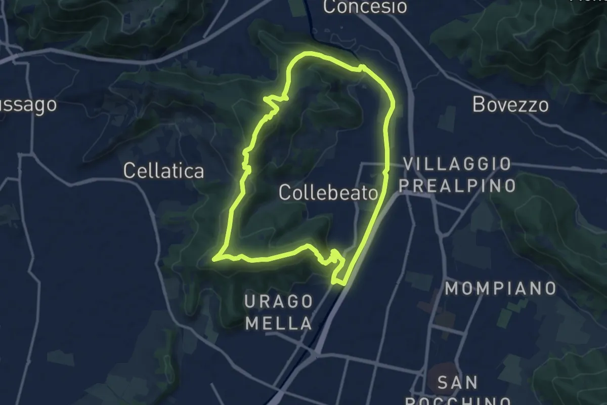
Demanding · Summit
Periplo di Collebeato - Sentiero del Gian (Gianpietro Nicolini)
11.3 km · ↑ 415 m · 3 h 44 min · 7 km away
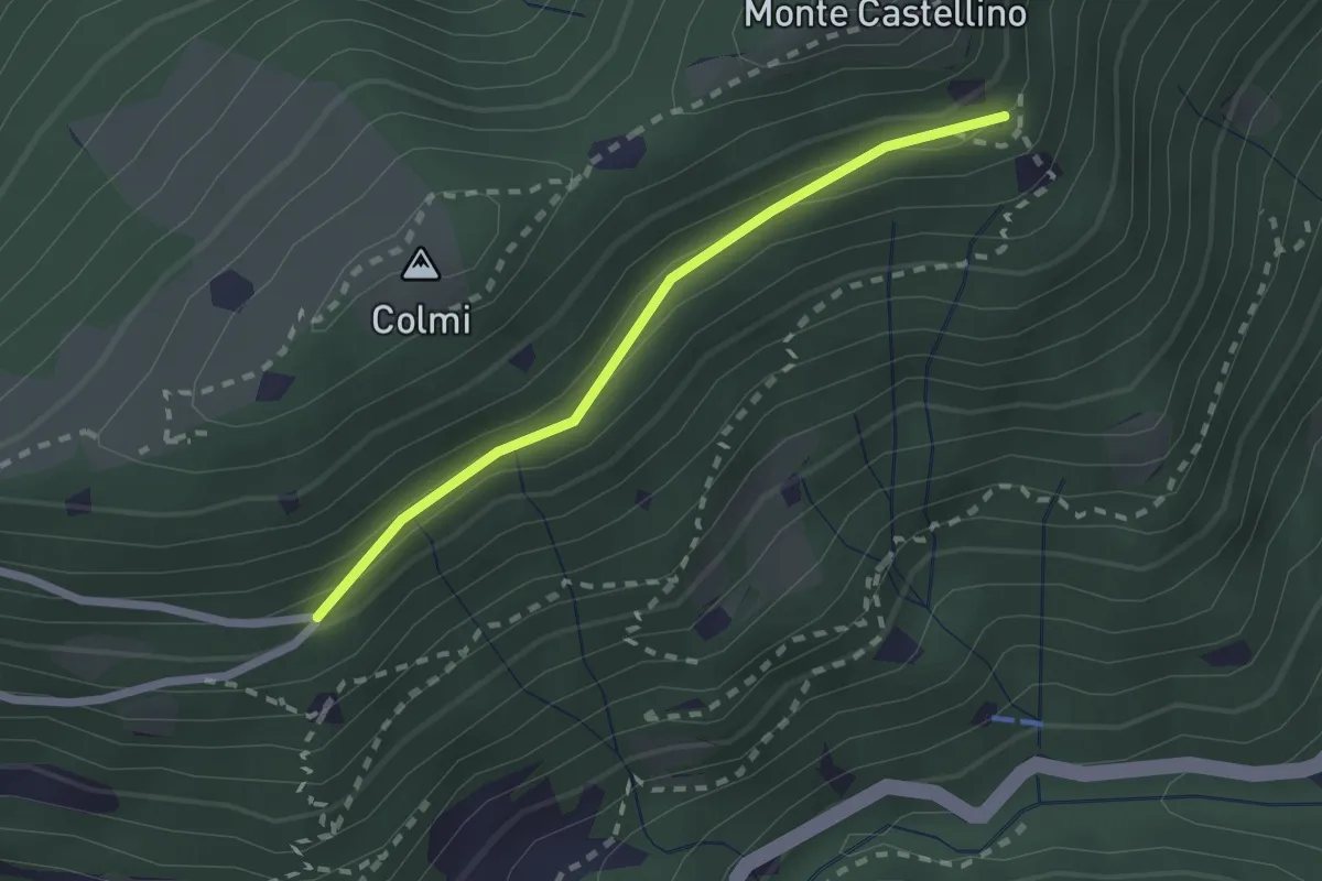
Easy · Trail
Sentiero 310 - Variante 310A
2.0 km · ↑ 104 m · 42 min · 7 km away
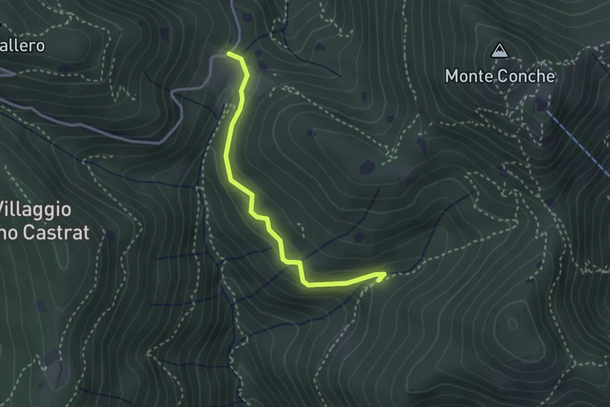
Medium · Trail
Nave (Valle delle Monache) - Cascina Cocca
2.7 km · ↑ 112 m · 53 min · 7 km away