Trails near Viterbo
31 hikes starting within 15 km, nearest first.
Nearest first
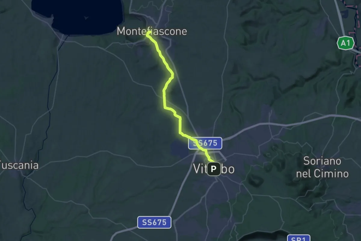
Demanding · Summit
Romea Strata in Italia - Tappa RSIT43
35.8 km · ↑ 537 m · 9 h 37 min · under 1 km away
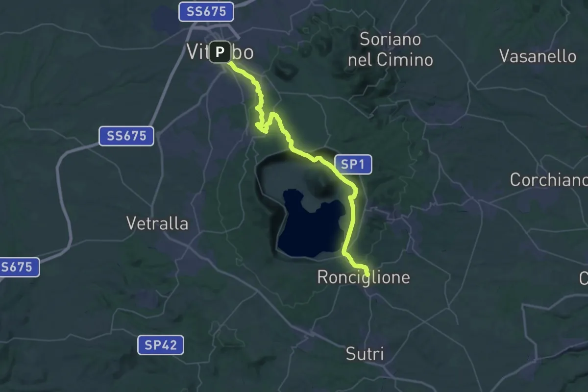
Demanding · Trail
Romea Strata in Italia - Tappa RSIT44
23.2 km · ↑ 618 m · 7 h 6 min · under 1 km away
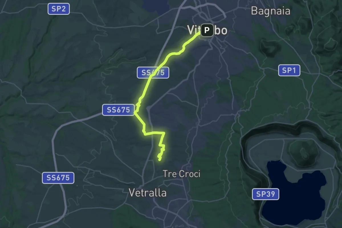
Medium · Pilgrim path
Via Francigena - Variante Vetralla
13.6 km · ↑ 164 m · 3 h 46 min · under 1 km away
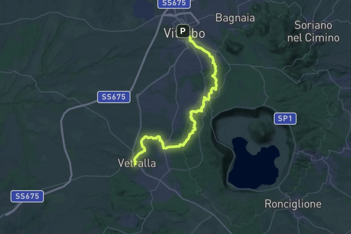
Demanding · Trail
Viterbo – Vetralla
21.8 km · ↑ 519 m · 6 h 36 min · under 1 km away
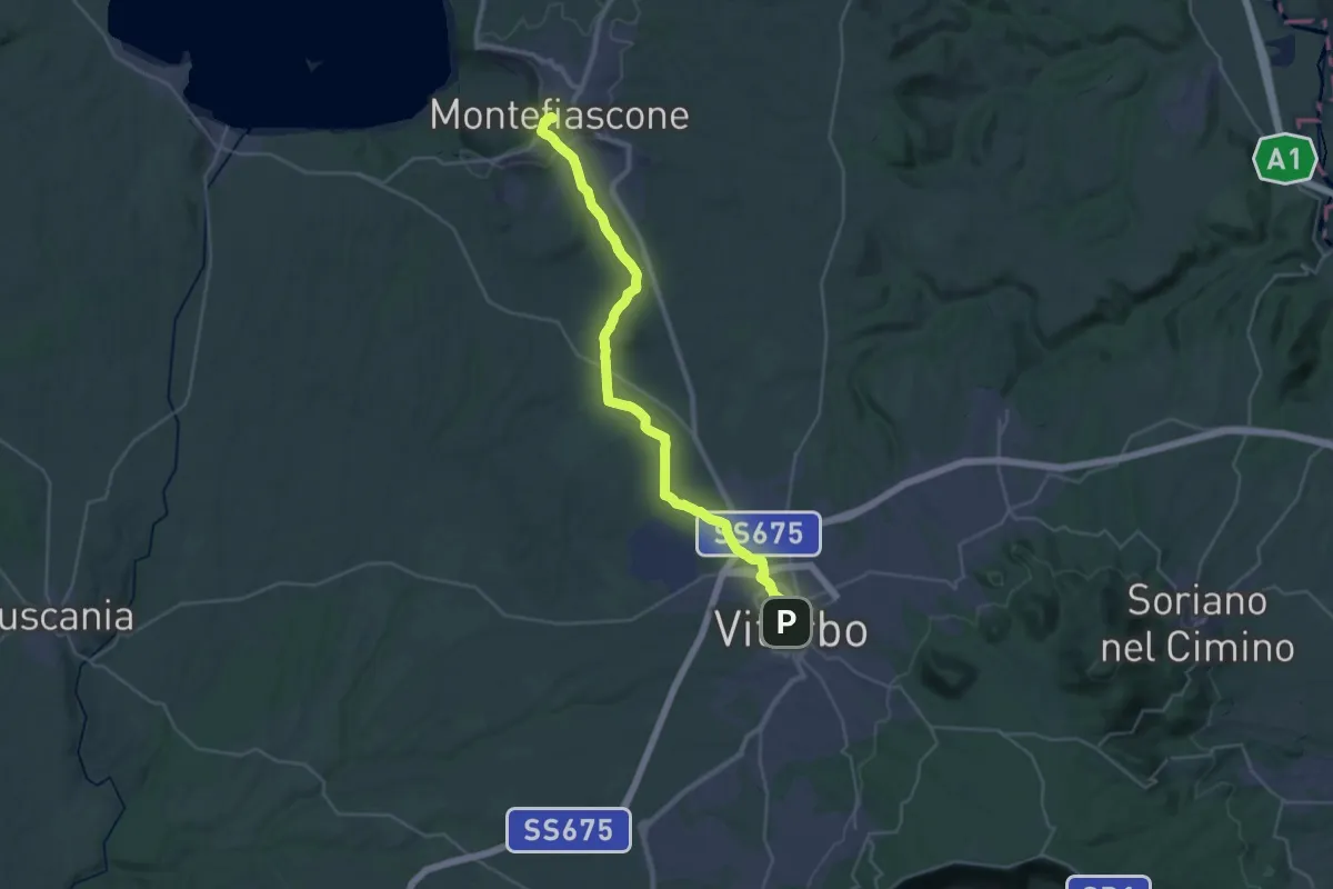
Demanding · Summit
Montefiascone – Viterbo
35.4 km · ↑ 519 m · 9 h 30 min · under 1 km away
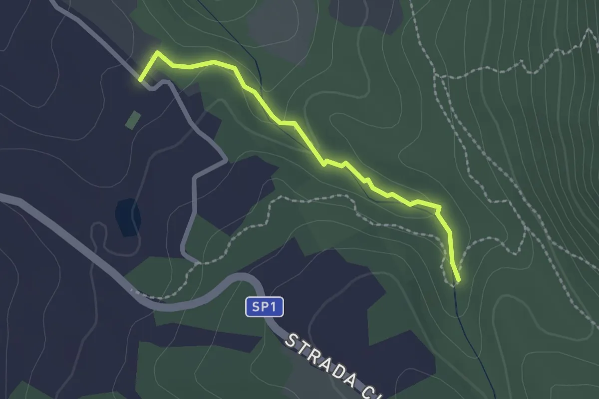
Easy · Trail
Forra del fosso Luparo
2.0 km · ↑ 50 m · 35 min · 3 km away
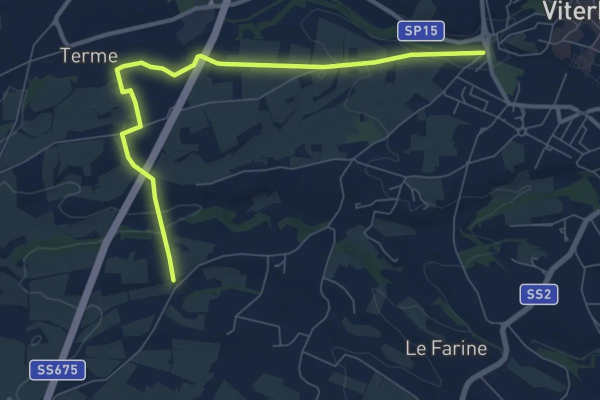
Easy · Pilgrim path
Via Francigena - Variante ponte Camillaro
4.0 km · ↑ 51 m · 1 h 6 min · 3 km away
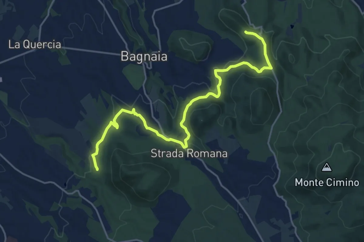
Medium · Trail
Sentiero dei 4 monti
16.1 km · ↑ 383 m · 4 h 38 min · 3 km away
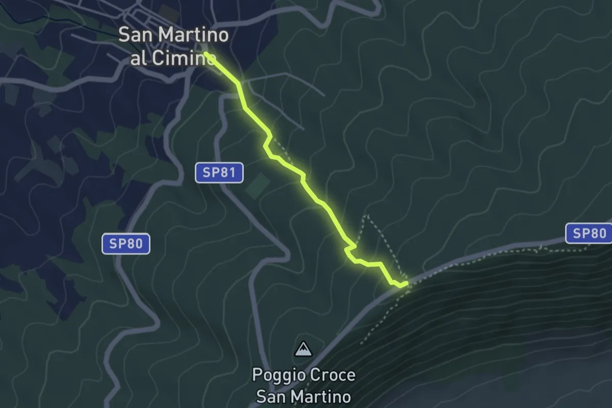
Medium · Trail
Strada di mezzo – San Martino al Cimino
3.2 km · ↑ 209 m · 1 h 12 min · 6 km away
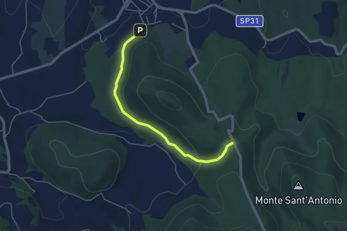
Easy · Trail
Stazione di Vitorchiano – Strada Piangoli
4.2 km · ↑ 121 m · 1 h 15 min · 6 km away
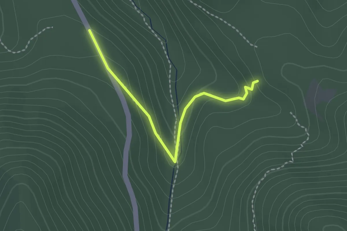
Easy · Trail
percorso 123 – Strada Piangoli
2.1 km · ↑ 99 m · 42 min · 7 km away
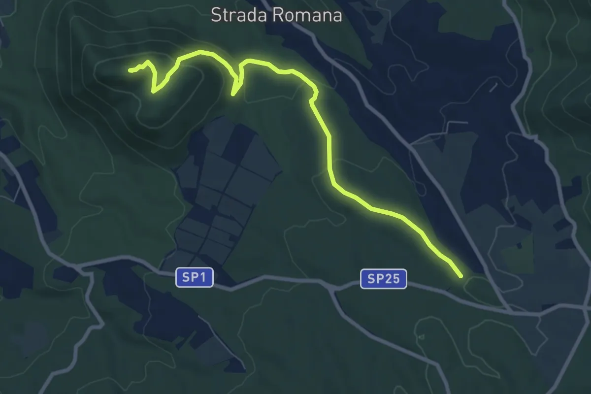
Medium · Summit
Sentiero Giuseppe Lupattelli
8.2 km · ↑ 287 m · 2 h 34 min · 7 km away
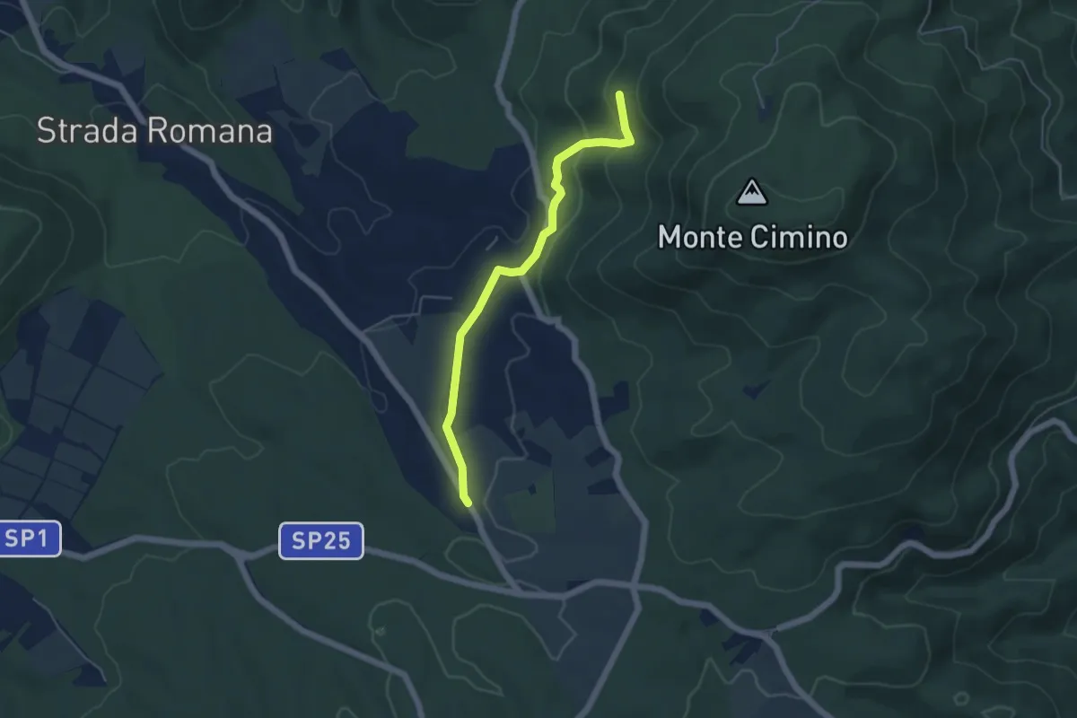
Easy · Trail
Faggeta Soriano nel Cimino – Strada Romana
5.0 km · ↑ 149 m · 1 h 30 min · 7 km away
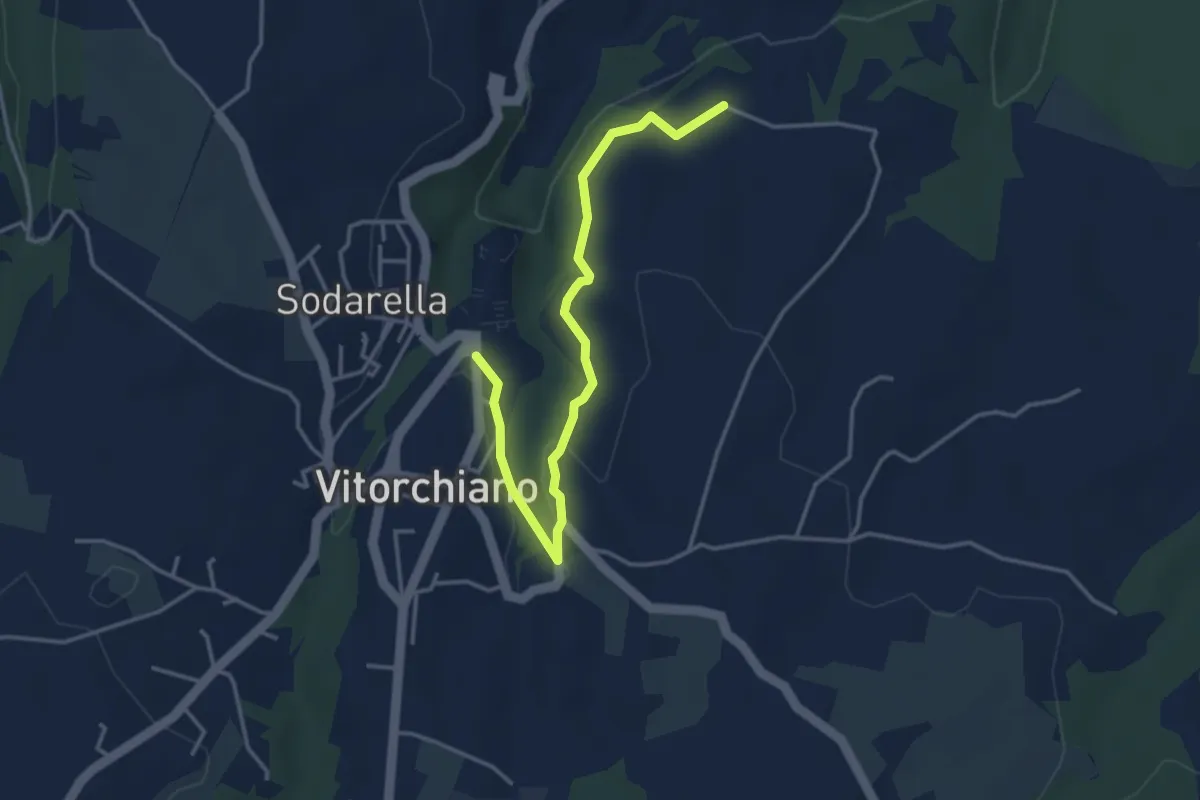
Easy · Trail
Vitorchiano – Campitella
4.3 km · ↑ 58 m · 1 h 9 min · 8 km away
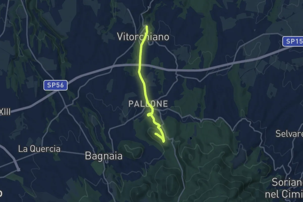
Medium · Summit
Monte di Vitorchiano
10.0 km · ↑ 264 m · 2 h 55 min · 8 km away
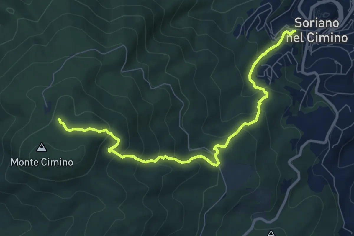
Medium · Trail
Sentiero dei Fontanili
8.2 km · ↑ 563 m · 3 h 10 min · 8 km away
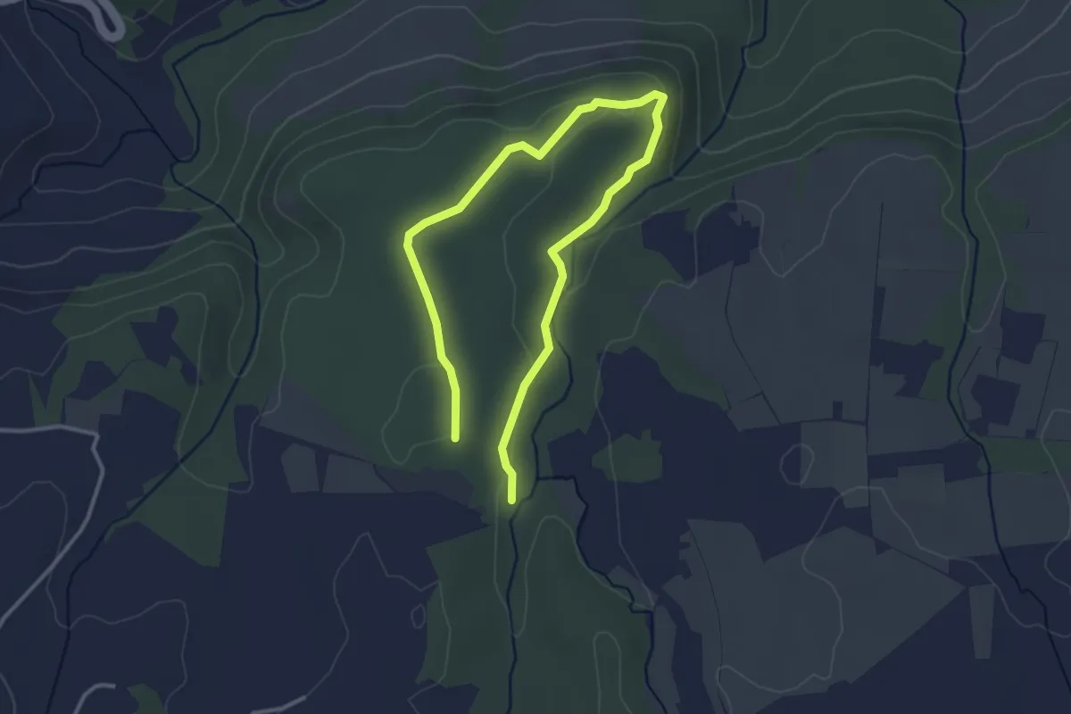
Easy · Trail
Campitella – Corviano
5.1 km · ↑ 82 m · 1 h 23 min · 10 km away
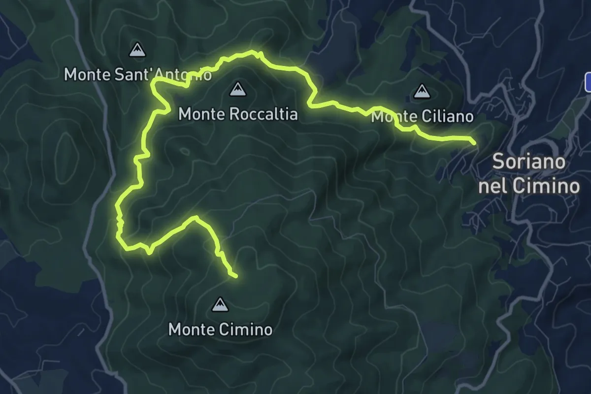
Medium · Trail
Sentiero dei 5 monti
14.1 km · ↑ 746 m · 4 h 57 min · 10 km away
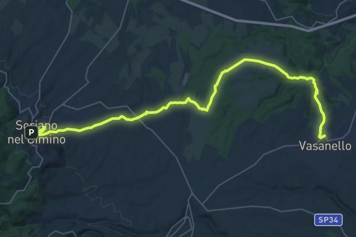
Demanding · Trail
Cammino Tuscia Tappa 2
27.5 km · ↑ 452 m · 7 h 28 min · 10 km away
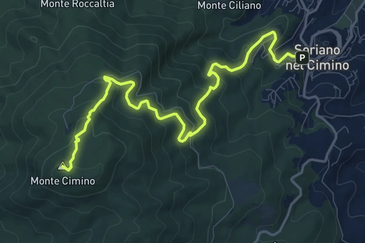
Medium · Summit
Cammino Tuscia Tappa 3
11.5 km · ↑ 686 m · 4 h 12 min · 10 km away
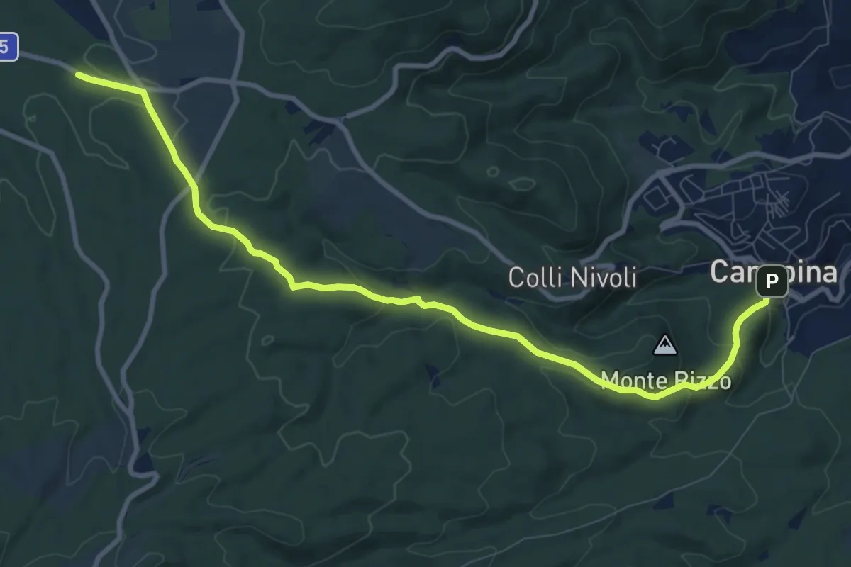
Medium · Trail
Canepina – percorso103
10.8 km · ↑ 309 m · 3 h 13 min · 11 km away
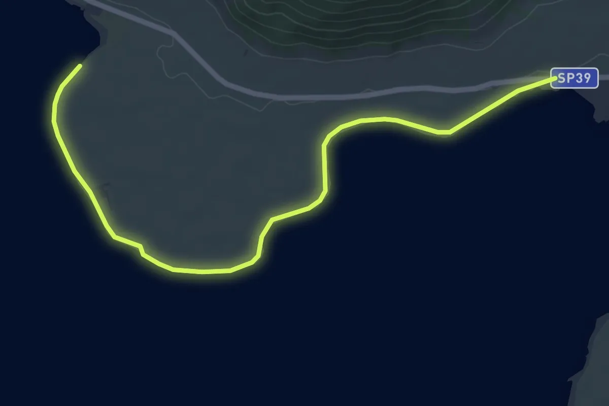
Easy · Trail
Sentiero de Le Prove
6.9 km · ↑ 4 m · 1 h 38 min · 12 km away
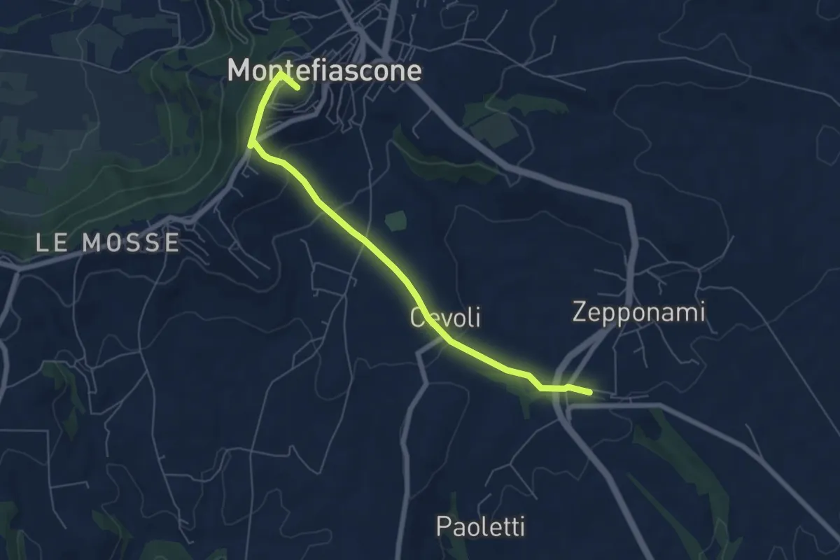
Easy · Summit
Stazione FS Montefiascone – Innesto Via Francigena Montefiascone
6.5 km · ↑ 246 m · 2 h 5 min · 12 km away
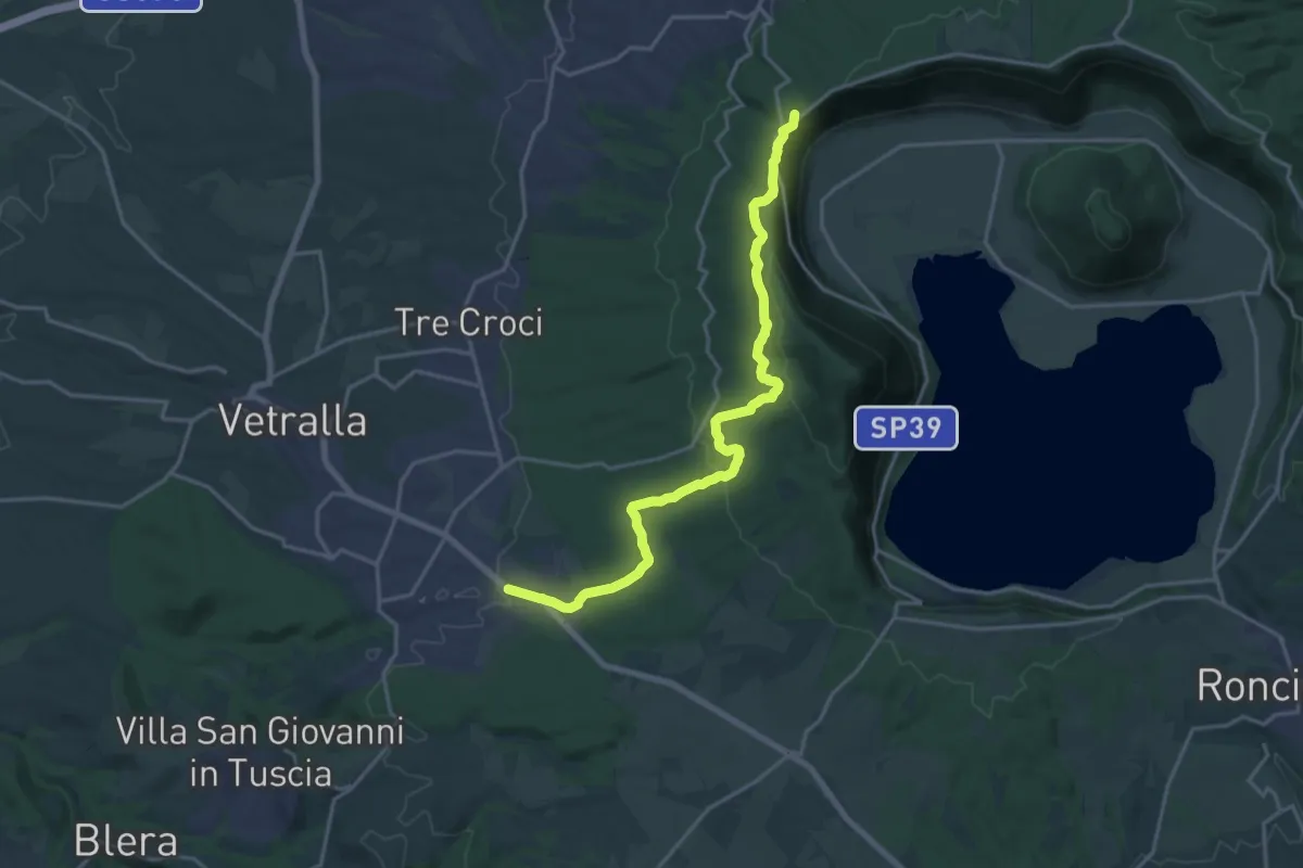
Demanding · Summit
Cammino Tuscia Tappa 4
20.3 km · ↑ 627 m · 6 h 9 min · 13 km away
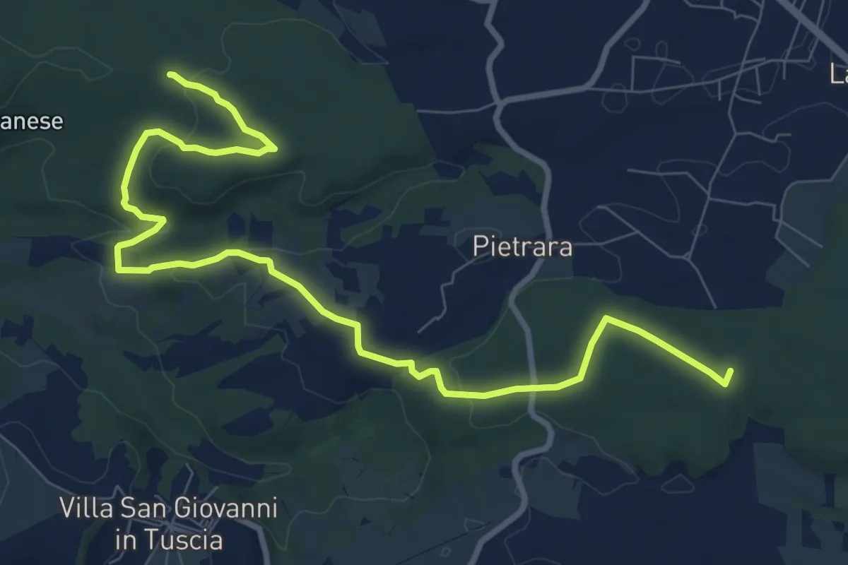
Medium · Trail
Santuario rupestre Demetra
11.2 km · ↑ 214 m · 3 h 6 min · 14 km away
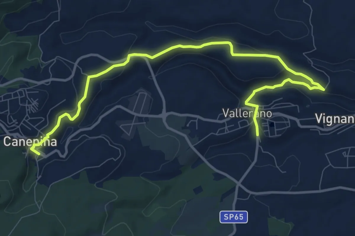
Medium · Trail
Vallerano – Canepina
11.6 km · ↑ 316 m · 3 h 25 min · 14 km away
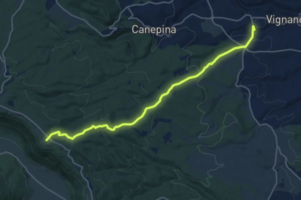
Medium · Summit
Eremo San Leonardo
13.9 km · ↑ 496 m · 4 h 22 min · 14 km away
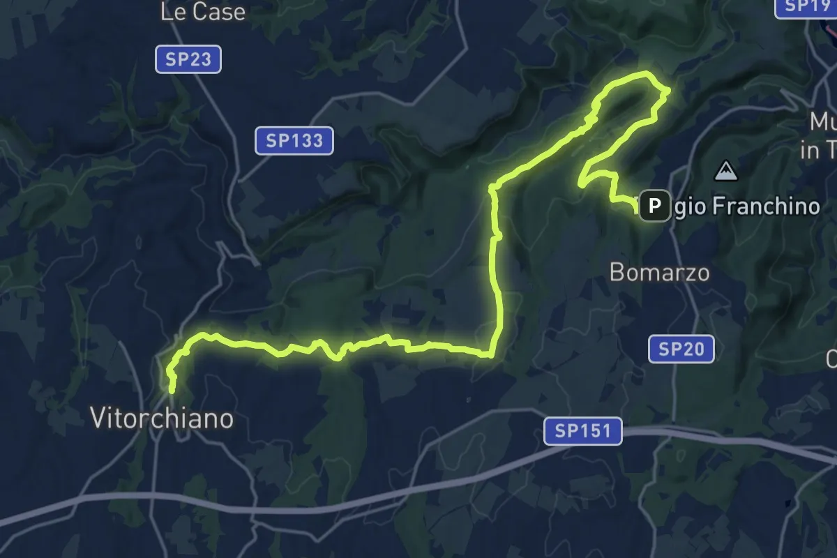
Medium · Trail
Vitorchiano – Bomarzo
14.1 km · ↑ 357 m · 4 h 15 min · 14 km away
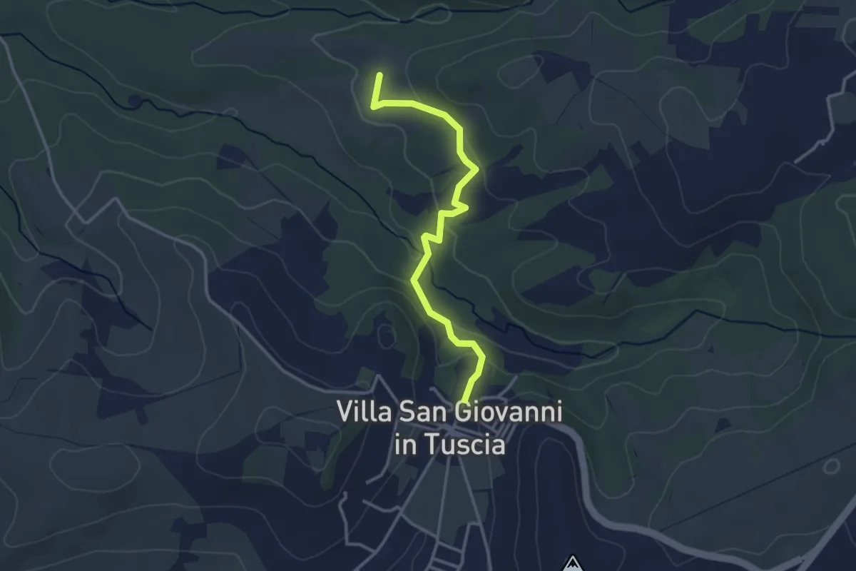
Easy · Trail
Villa San Giovanni in Tuscia – Percorso126A
3.3 km · ↑ 122 m · 1 h 2 min · 14 km away
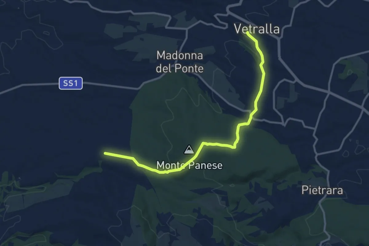
Medium · Trail
Vetralla – Località Dogane
10.4 km · ↑ 187 m · 2 h 51 min · 15 km away
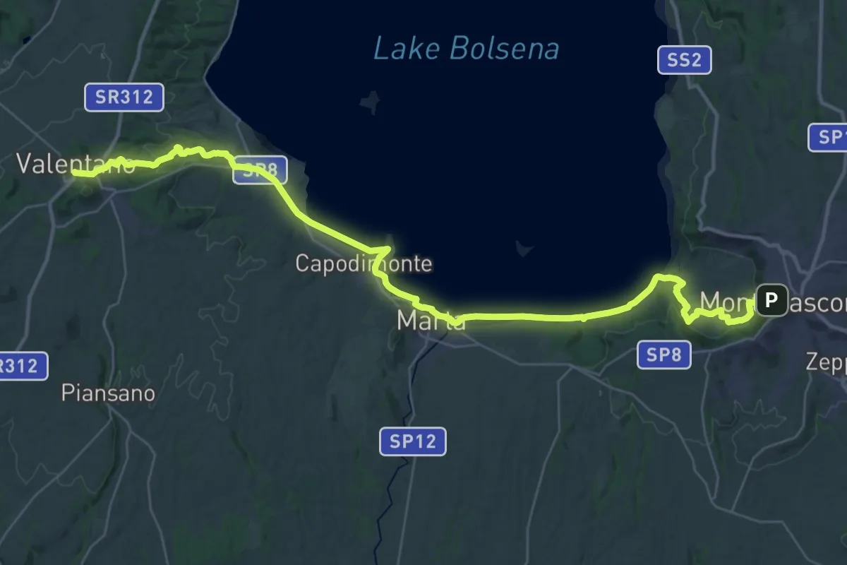
Demanding · Trail
Montefiascone – Valentano
23.0 km · ↑ 344 m · 6 h 30 min · 15 km away