Trails near Volterra
34 hikes starting within 15 km, nearest first.
Nearest first
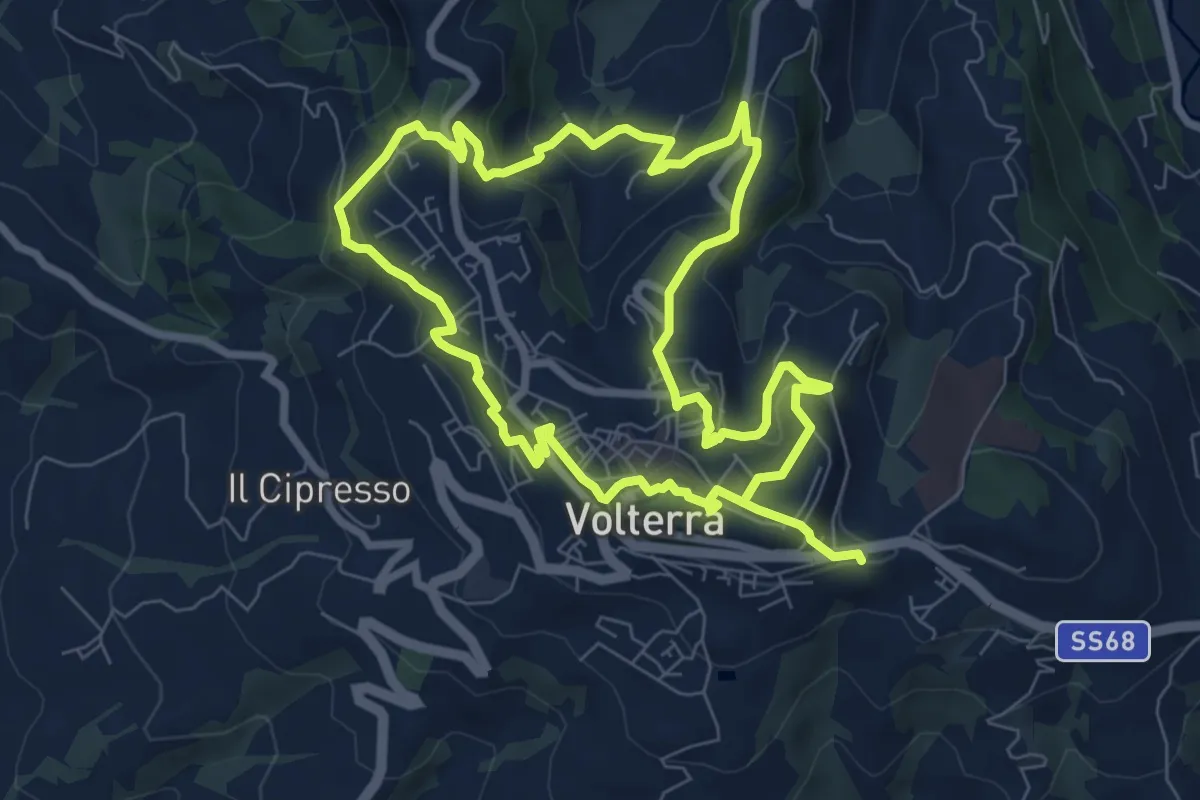
Medium · Trail
Volterra Urban Trekking
15.8 km · ↑ 719 m · 5 h 17 min · under 1 km away
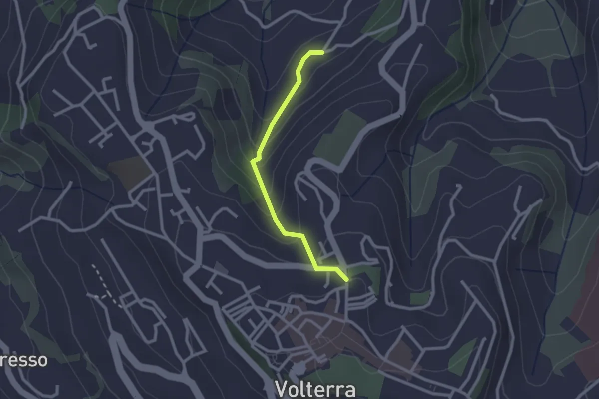
Easy · Trail
Volterra Urban Trekking - Variante
2.1 km · ↑ 168 m · 52 min · under 1 km away
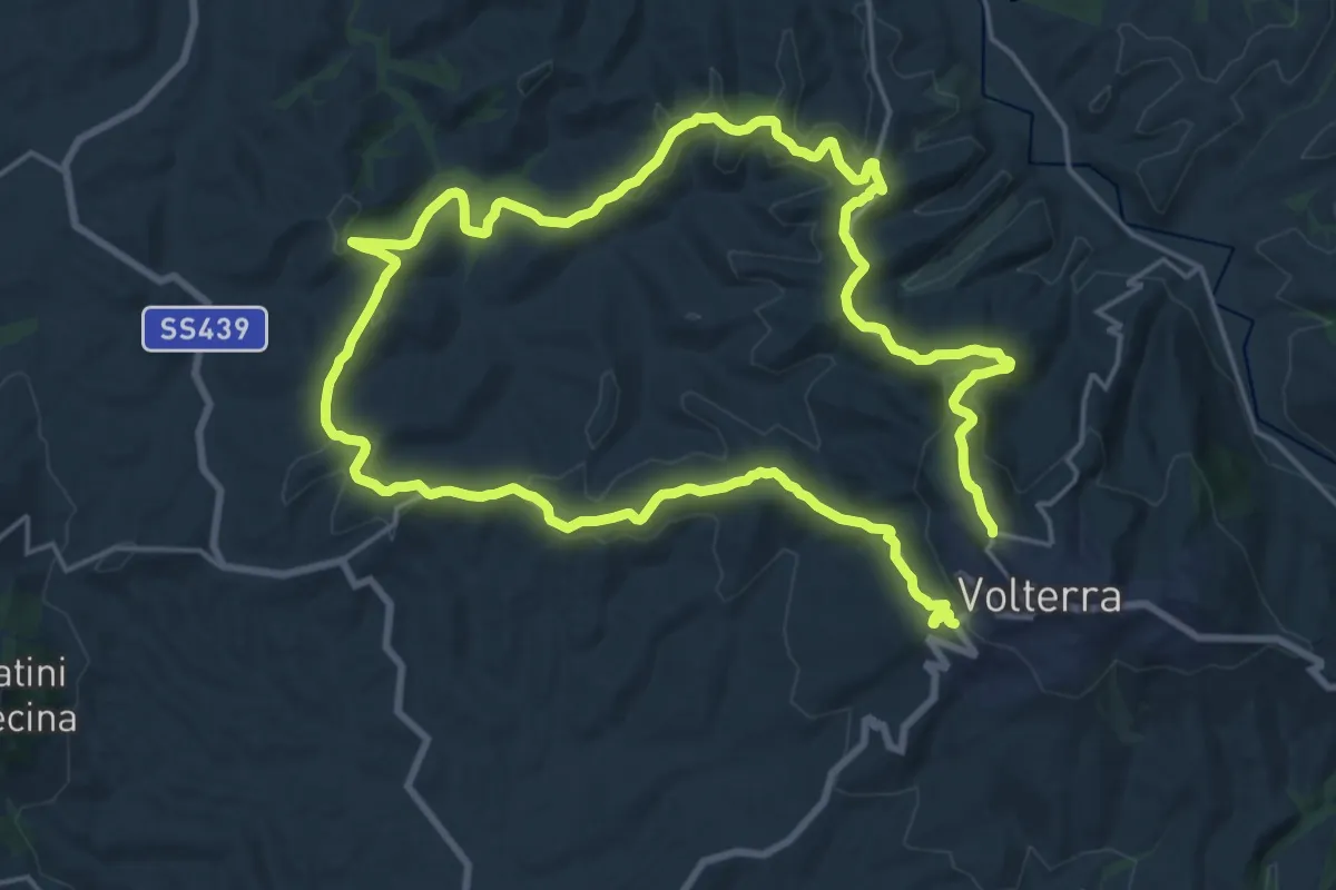
Demanding · Trail
Dolce campagna, antiche mura 24
20.1 km · ↑ 455 m · 6 h 4 min · 1 km away
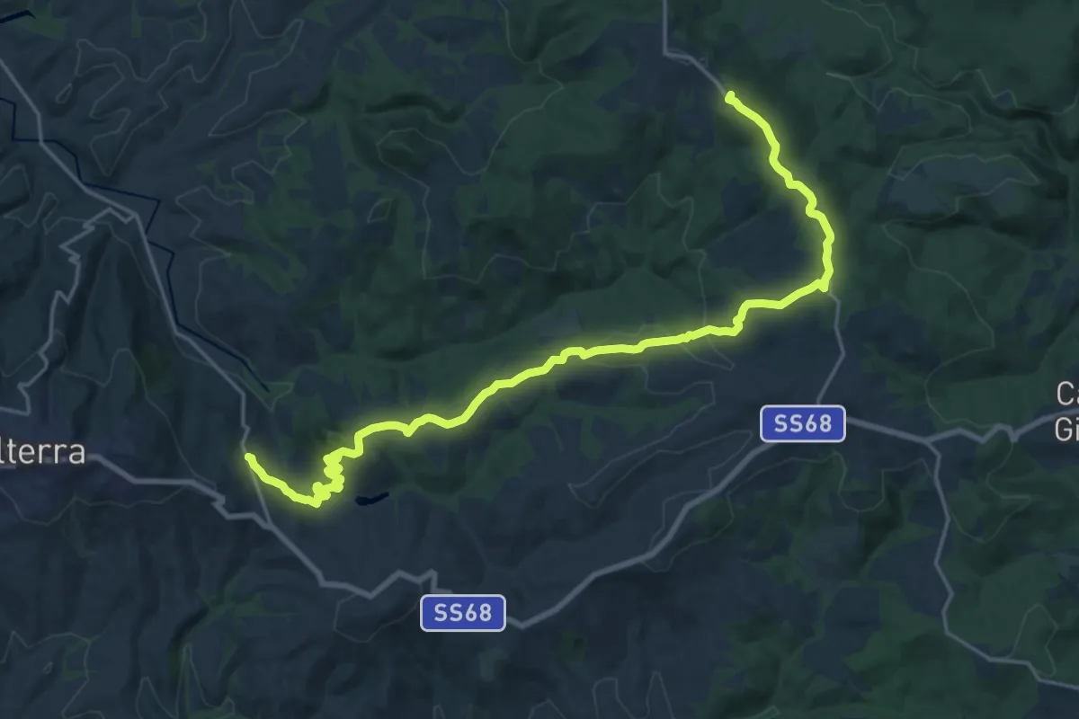
Demanding · Summit
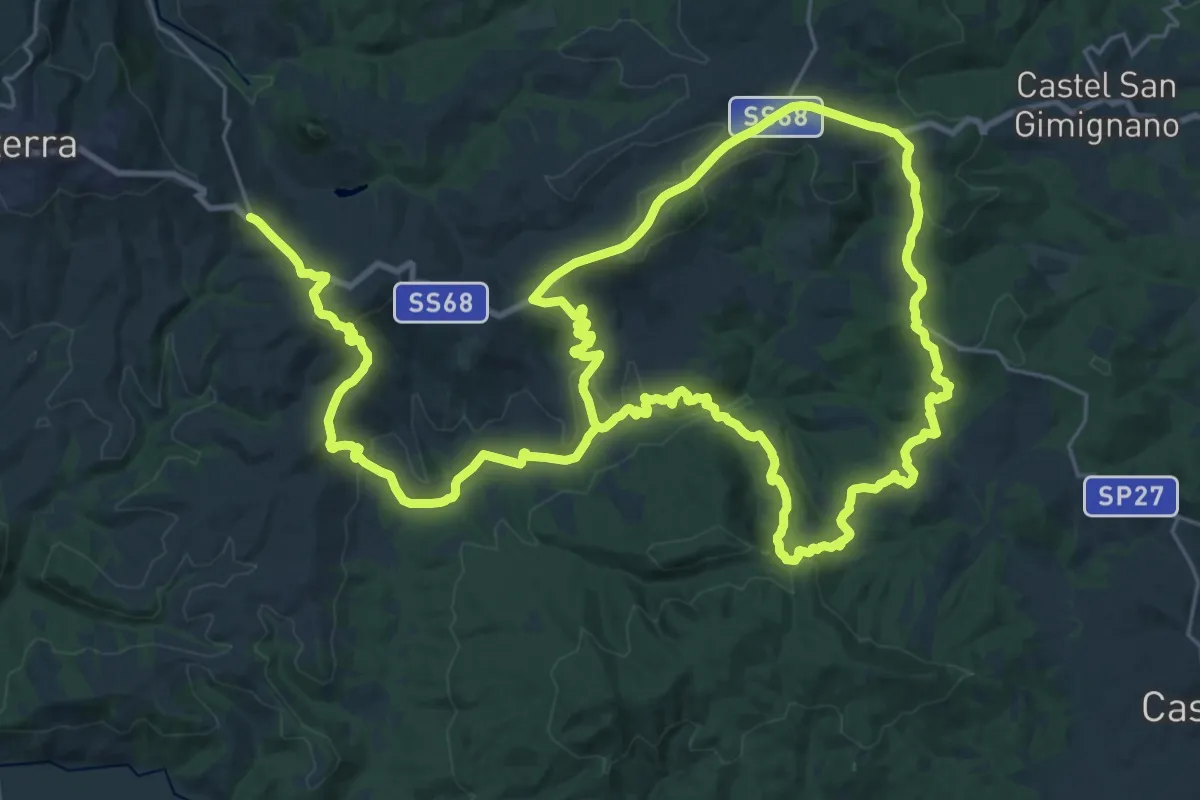
Dolce campagna, antiche mura 21
24.7 km · ↑ 680 m · 7 h 18 min · 3 km away
Demanding · Trail
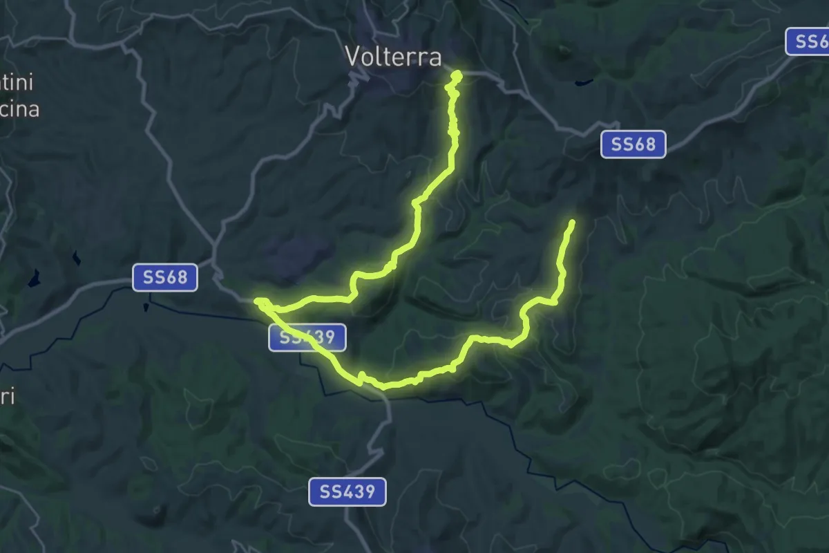
Dolce campagna, antiche mura 22
28.6 km · ↑ 665 m · 8 h 40 min · 3 km away
Demanding · Trail
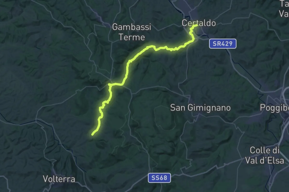
Dolce campagna, antiche mura 23
20.4 km · ↑ 544 m · 6 h 12 min · 5 km away
Demanding · Trail
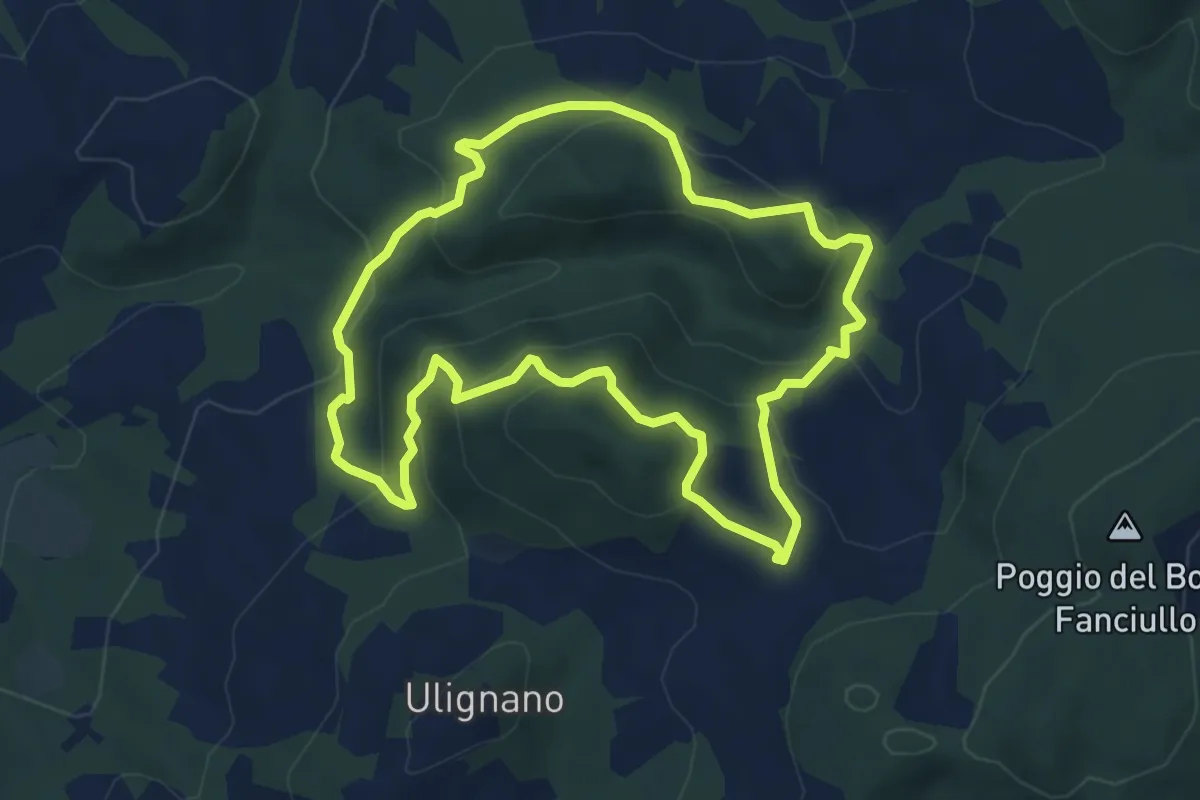
Via Francigena Mare - avvicinamento Certaldo Gambassi Terme
22.2 km · ↑ 442 m · 6 h 35 min · 6 km away
Medium · Summit
Anello della Riserva Naturale Montenero
5.5 km · ↑ 317 m · 2 h 4 min · 6 km away
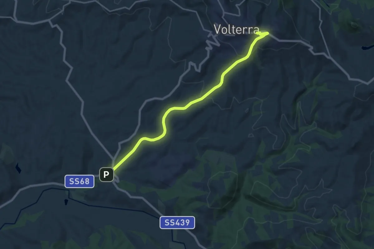
Medium · Trail
Via Francigena Mare - avvicinamento Volterra
15.2 km · ↑ 428 m · 4 h 31 min · 6 km away
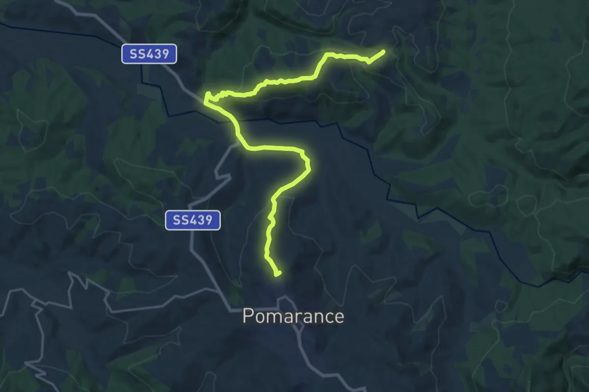
Demanding · Summit
Via Francigena Mare - deviazione piena fiume Cecina
20.0 km · ↑ 606 m · 6 h 2 min · 7 km away
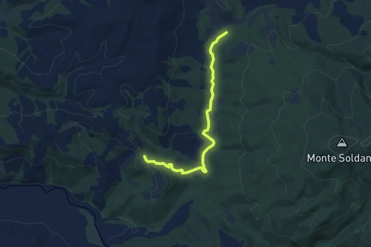
Medium · Trail
Percorso 1: Fosci
9.3 km · ↑ 115 m · 2 h 26 min · 7 km away
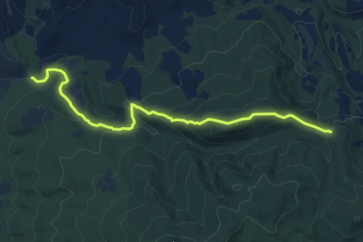
Medium · Trail
Percorso 2: Piaggioni
11.0 km · ↑ 352 m · 3 h 21 min · 7 km away
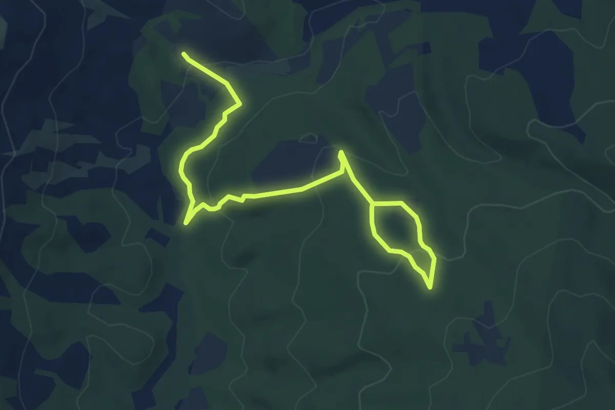
Easy · Trail
I versanti settentrionali del Monte Soldano
3.8 km · ↑ 70 m · 1 h 8 min · 8 km away
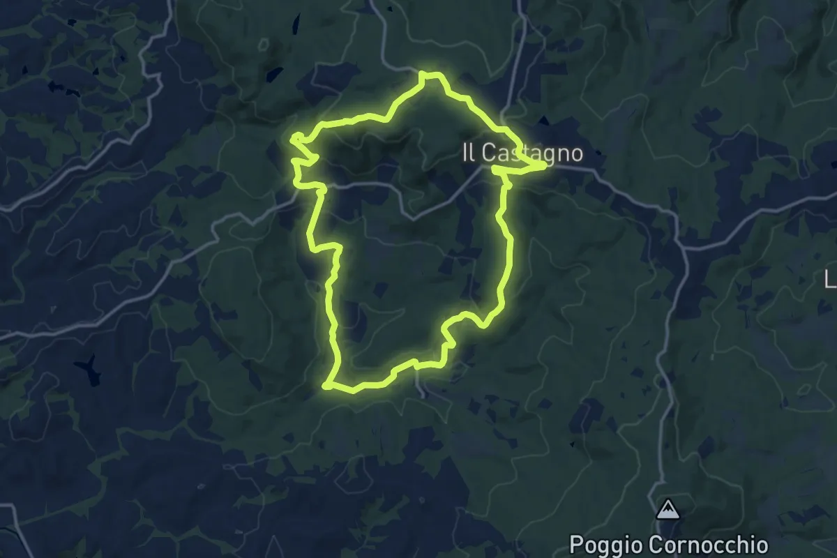
Medium · Trail
Dolce campagna, antiche mura 16
14.4 km · ↑ 410 m · 4 h 29 min · 8 km away
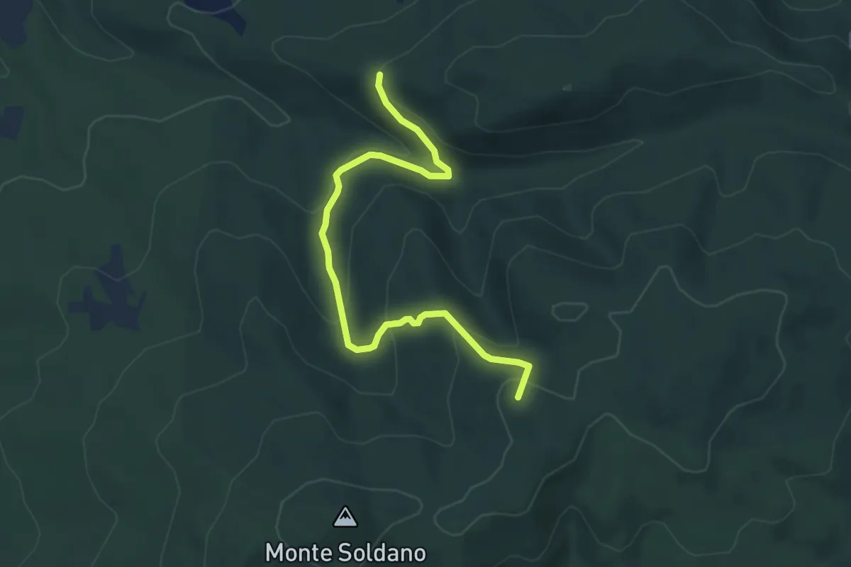
Easy · Summit
Percorso 4: Tre Lecci
5.3 km · ↑ 255 m · 1 h 49 min · 9 km away
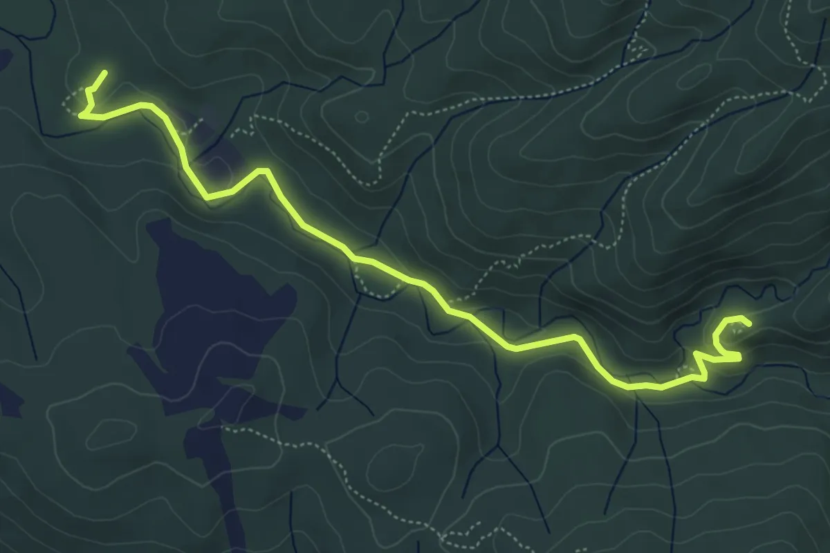
Easy · Trail
Il Castello dei Vescovi
3.3 km · ↑ 82 m · 58 min · 9 km away
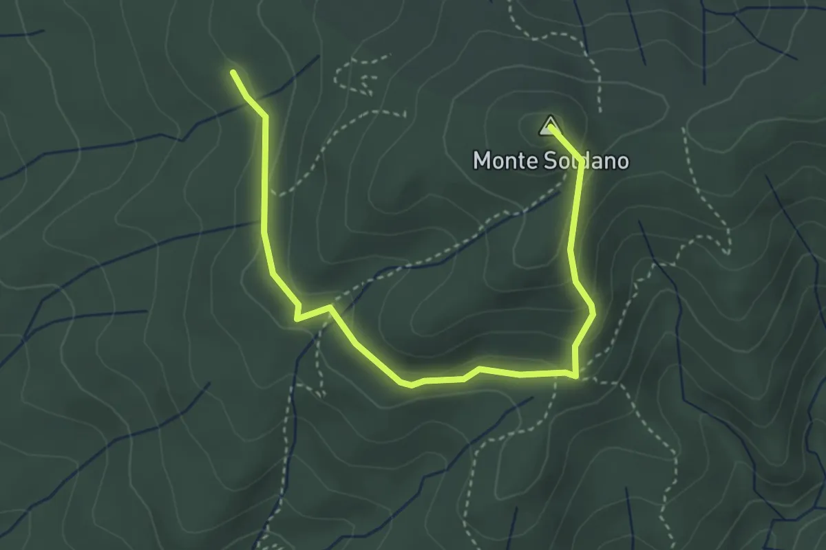
Medium · Summit
Percorso 5 - Pietruccolaie
4.3 km · ↑ 165 m · 1 h 23 min · 9 km away
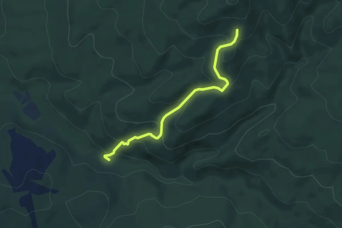
Easy · Trail
Percorso 7 : Biancanelle
5.0 km · ↑ 282 m · 1 h 48 min · 10 km away
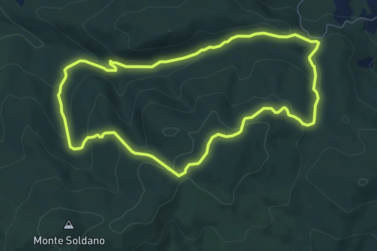
Easy · Summit
La Foresta di Tatti
6.6 km · ↑ 225 m · 2 h 9 min · 10 km away
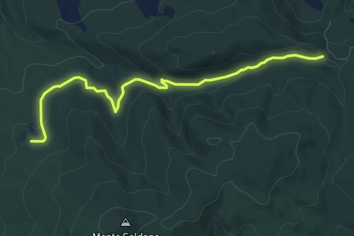
Medium · Trail
Percorso 3: Pilelle
8.2 km · ↑ 214 m · 2 h 24 min · 10 km away
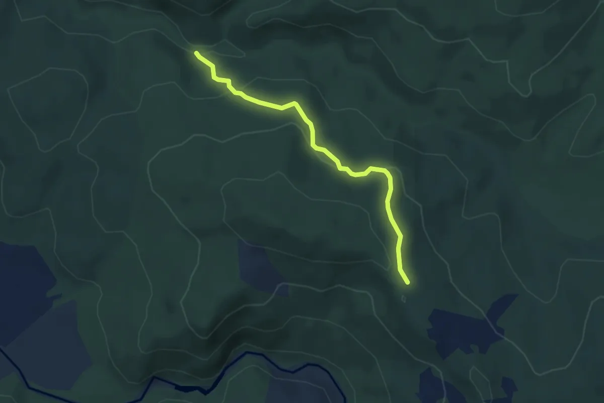
Easy · Trail
Percorso 11: Bacii
4.1 km · ↑ 153 m · 1 h 19 min · 11 km away
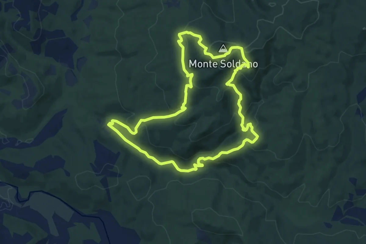
Medium · Summit
Grande anello escursionistico della gola del Rio
11.2 km · ↑ 523 m · 3 h 55 min · 11 km away
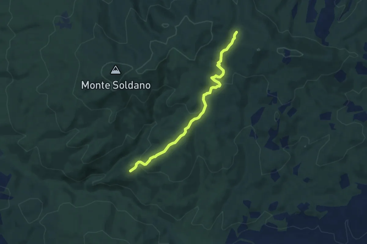
Easy · Trail
Percorso 10: "Torraccia"
7.8 km · ↑ 200 m · 2 h 17 min · 11 km away
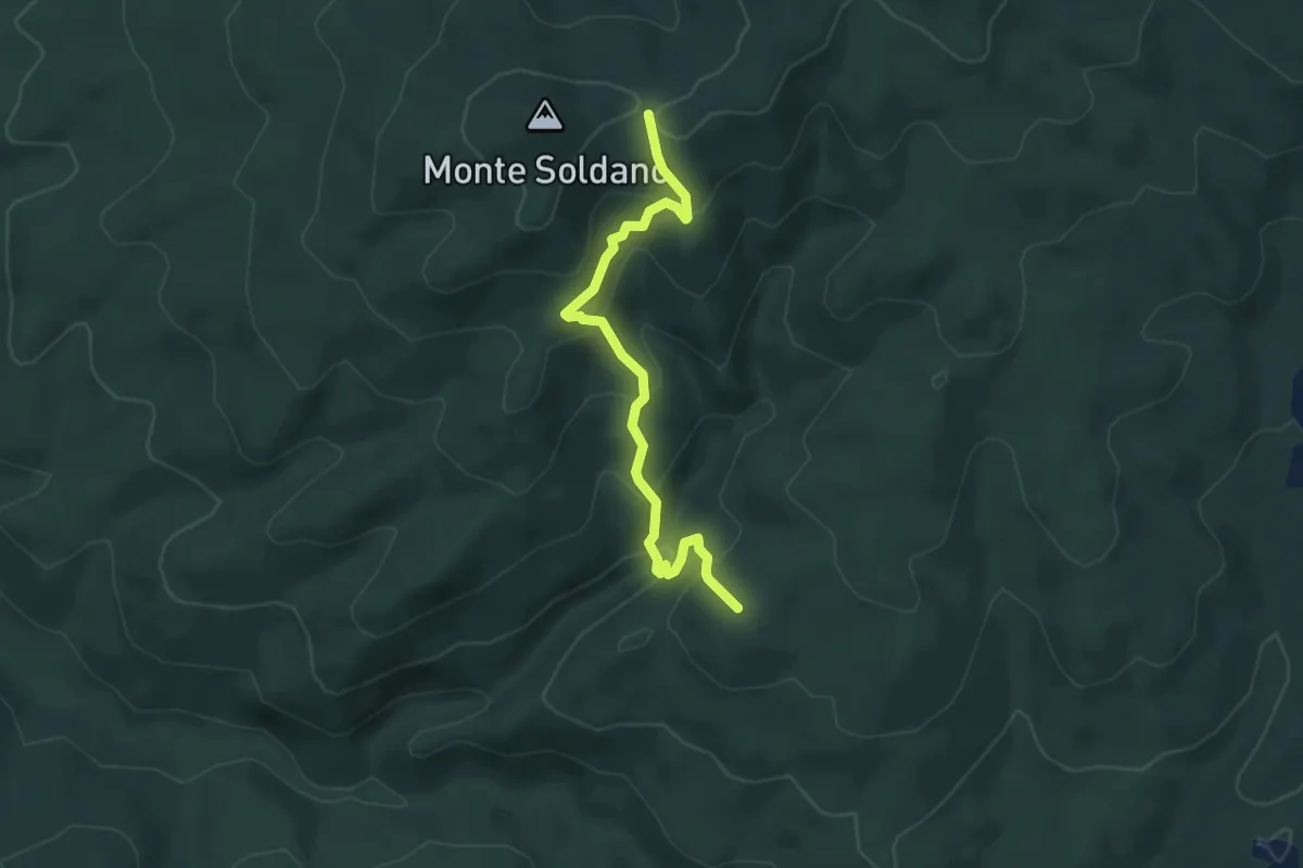
Medium · Trail
Percorso 8 - Botro al Rio
5.1 km · ↑ 341 m · 1 h 56 min · 11 km away
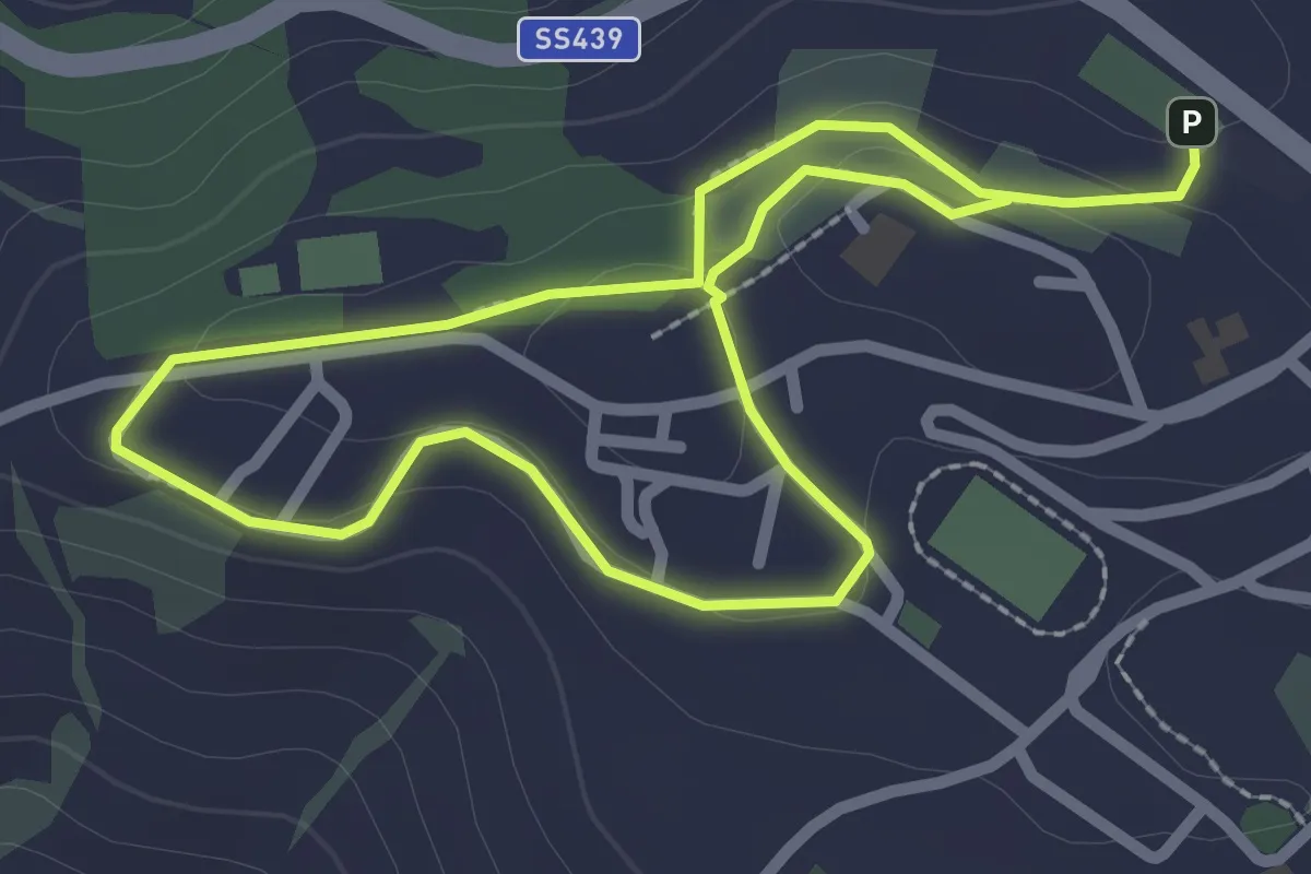
Easy · Trail
Panorami da Pomarance
2.3 km · ↑ 45 m · 39 min · 11 km away
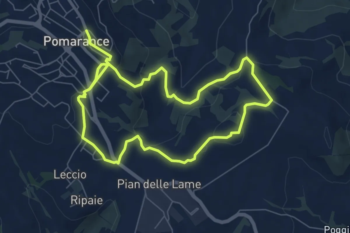
Easy · Trail
Giro intorno a Pomarance
5.8 km · ↑ 182 m · 1 h 50 min · 12 km away
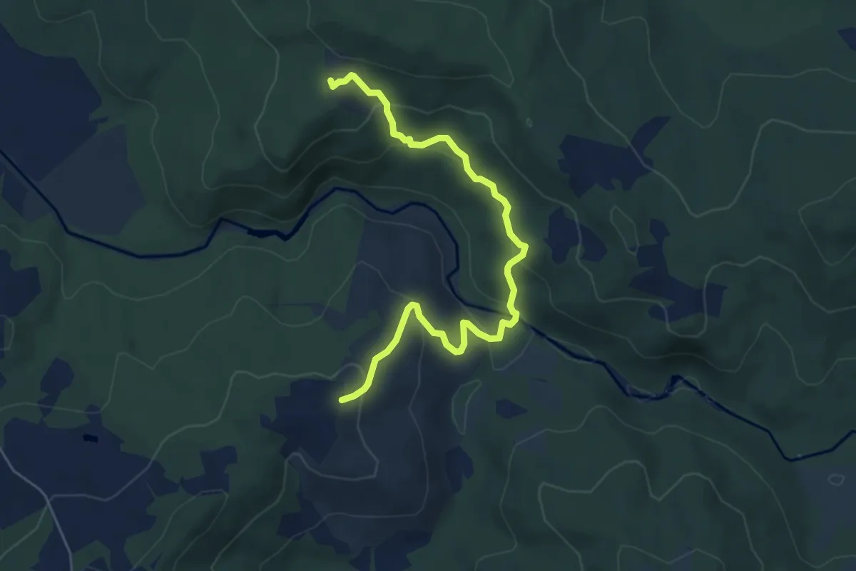
Easy · Trail
Percorso 13: Bocca di Pavone
6.2 km · ↑ 304 m · 2 h 8 min · 12 km away
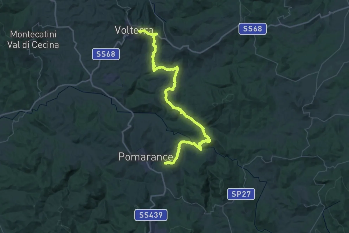
Demanding · Trail
Cammino etrusco - Tappa 01
24.8 km · ↑ 811 m · 7 h 52 min · 12 km away
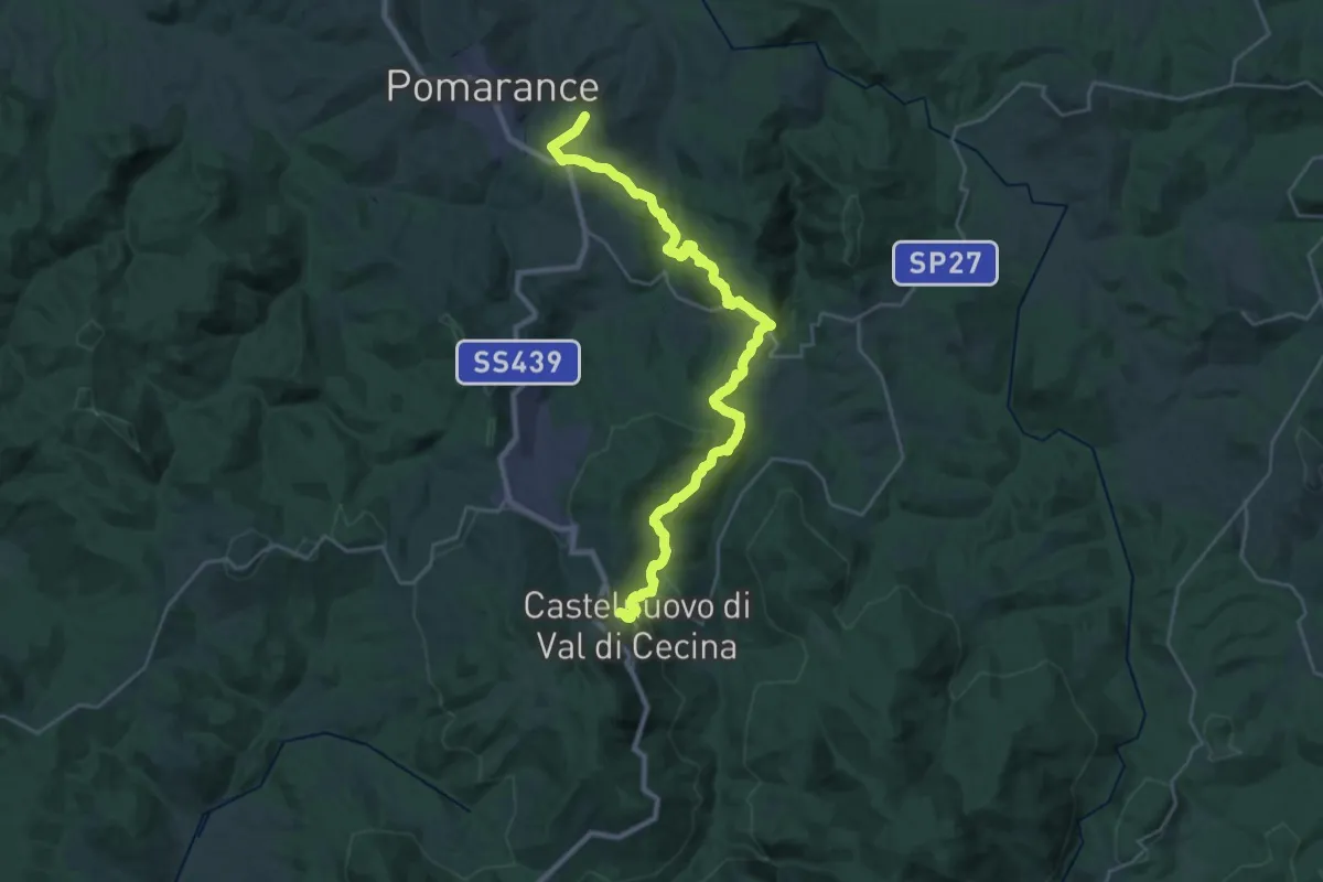
Medium · Trail
Cammino etrusco - Tappa 02
15.9 km · ↑ 671 m · 5 h 18 min · 12 km away
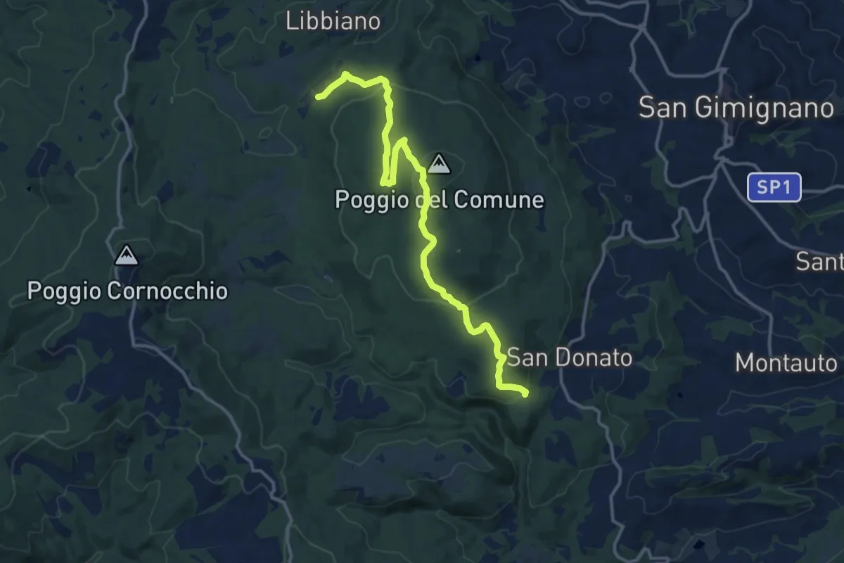
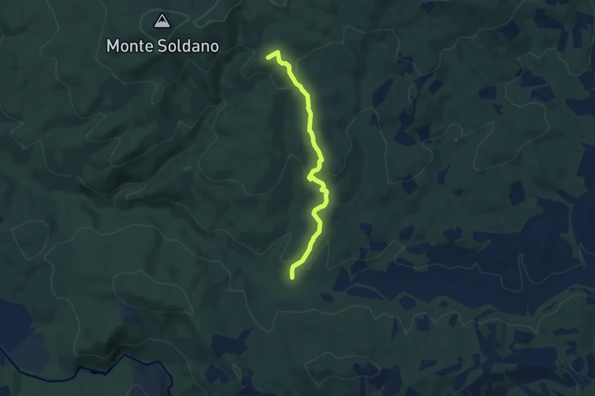
Medium · Trail
Sentieri della Memoria
14.5 km · ↑ 462 m · 4 h 26 min · 12 km away
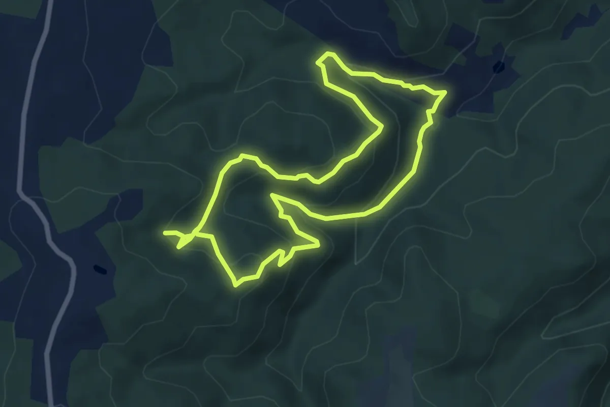
Easy · Summit
Percorso 9 - Aione
6.7 km · ↑ 260 m · 2 h 9 min · 13 km away
Medium · Summit
Sentiero 5 - Anello di Maurizio
5.4 km · ↑ 277 m · 1 h 57 min · 14 km away
Medium · Trail
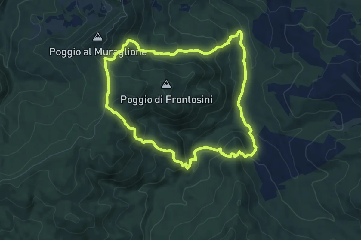
La valle del Trossa e le rupi di Frontosini
8.0 km · ↑ 435 m · 2 h 57 min · 15 km away
Easy · Trail
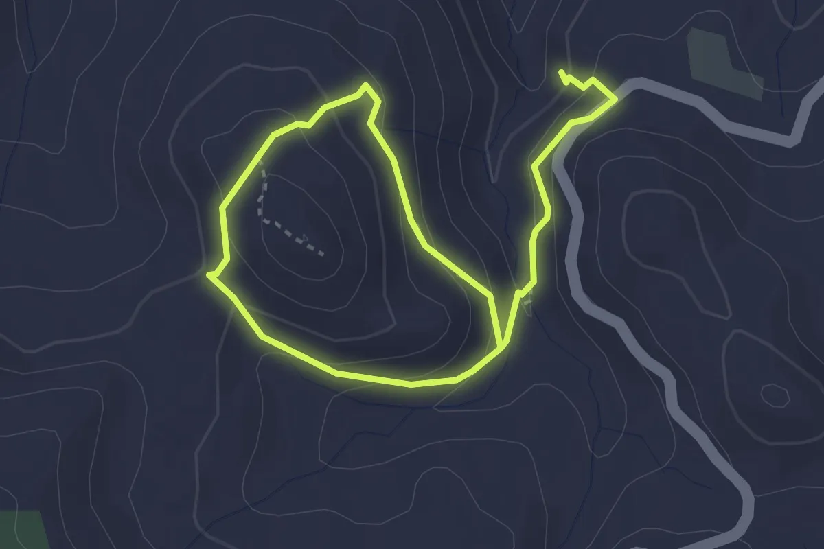
L'abbazia e il bagno di San Michele delle Formiche
2.6 km · ↑ 143 m · 57 min · 15 km away