Trails in Italy
25,221 hiking trails, each with its route, climb, walking time and grade.
All trails, page 114 of 526
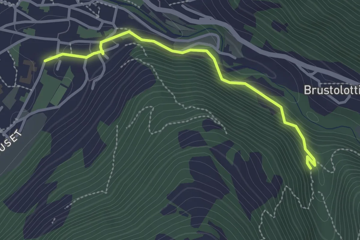
Easy · Trail
Percorso al Bersaglio
2.7 km · ↑ 141 m · 57 min
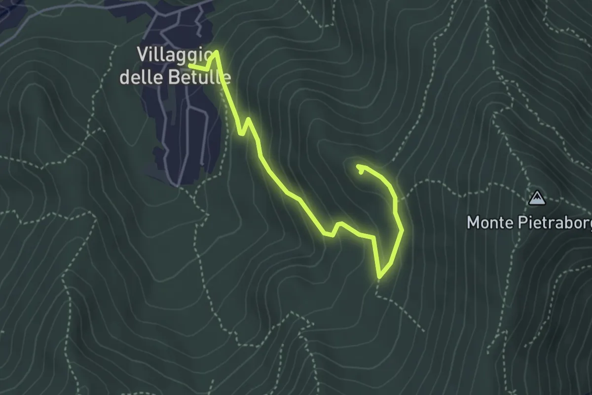
Easy · Trail
Percorso alla Croce degli Alpini di Trana
4.2 km · ↑ 258 m · 1 h 34 min
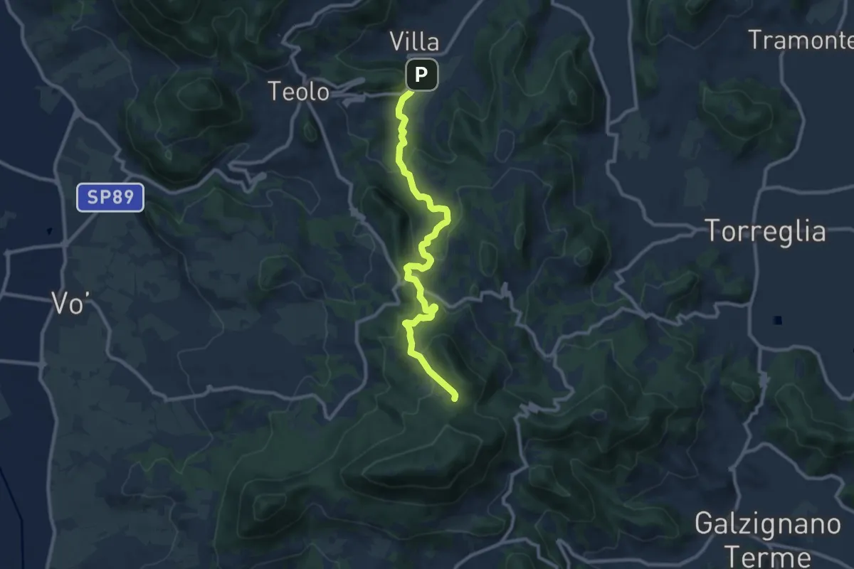
Medium · Trail
Percorso alternativo "N"
9.9 km · ↑ 495 m · 3 h 25 min
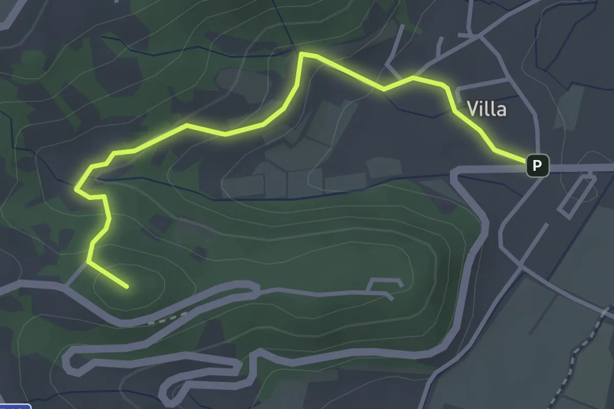
Demanding · Summit
Percorso alternativo "O"
3.3 km · ↑ 149 m · 1 h 6 min
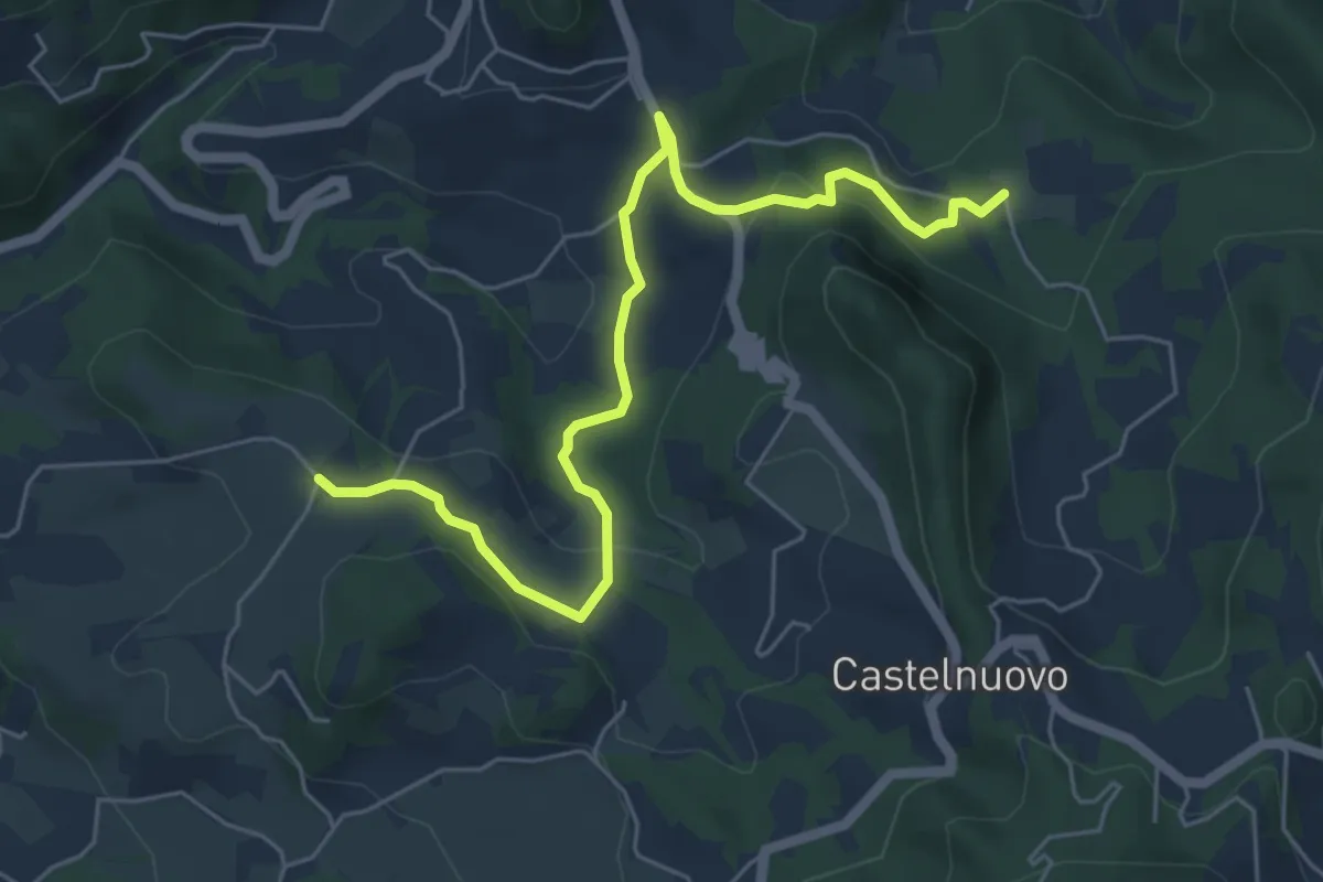
Medium · Trail
Percorso alternativo "P"
6.4 km · ↑ 234 m · 2 h 1 min
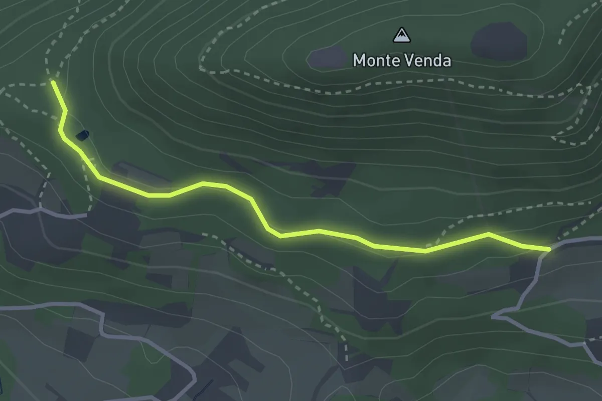
Easy · Trail
Percorso alternativo "Q"
2.9 km · ↑ 79 m · 51 min
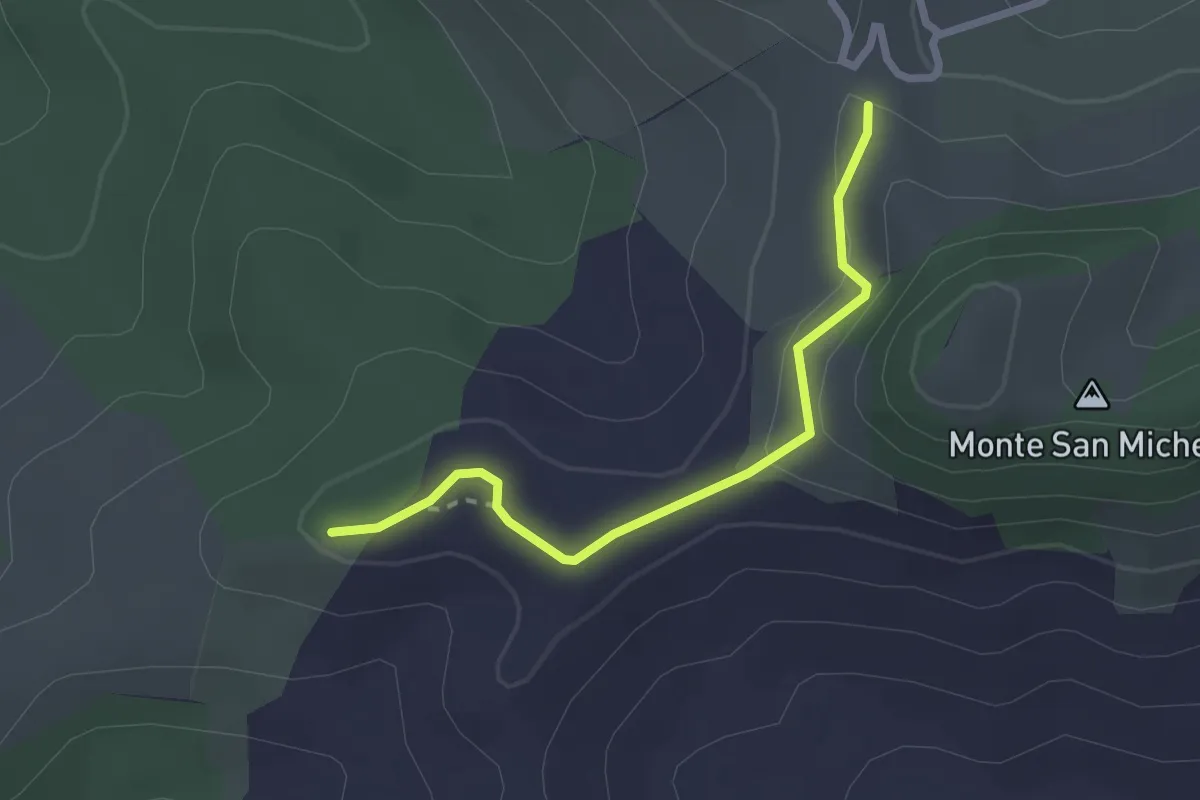
Easy · Trail
Percorso ambientale
2.4 km · ↑ 91 m · 46 min
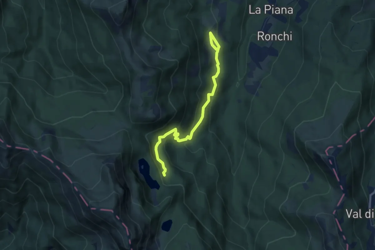
Medium · Cabin
'Percorso Antico Olmo' - Pian dei Remi - Lago Santo
7.7 km · ↑ 373 m · 2 h 38 min
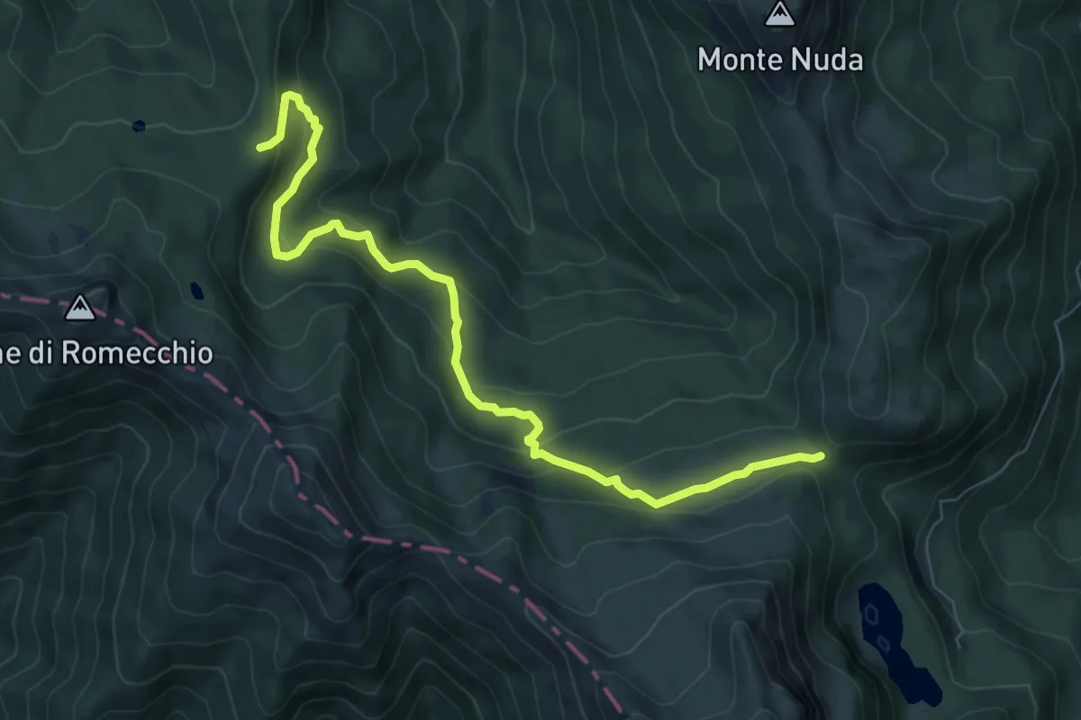
Medium · Trail
Percorso a Ovest del Cimone - Variante GAS1
8.5 km · ↑ 455 m · 3 h
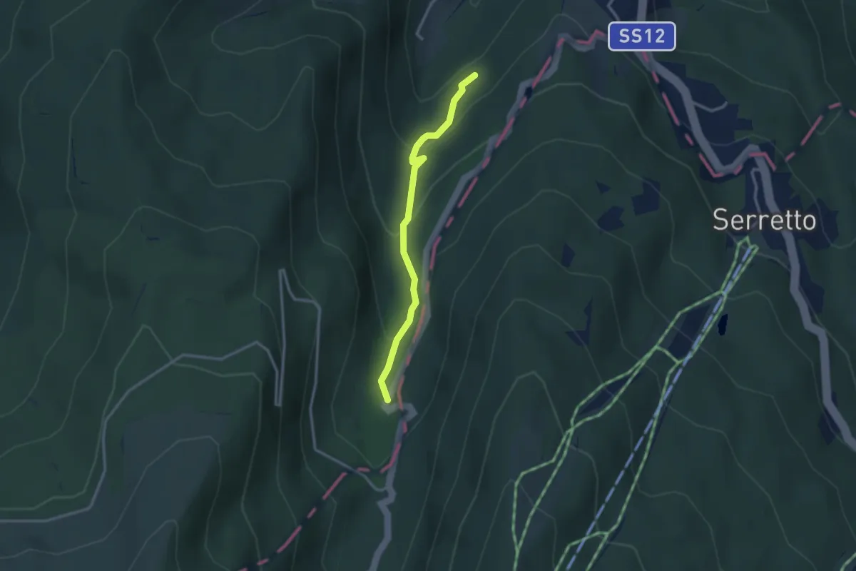
Easy · Trail
Percorso a Ovest del Cimone - Variante GAS2
2.7 km · ↑ 162 m · 1 h
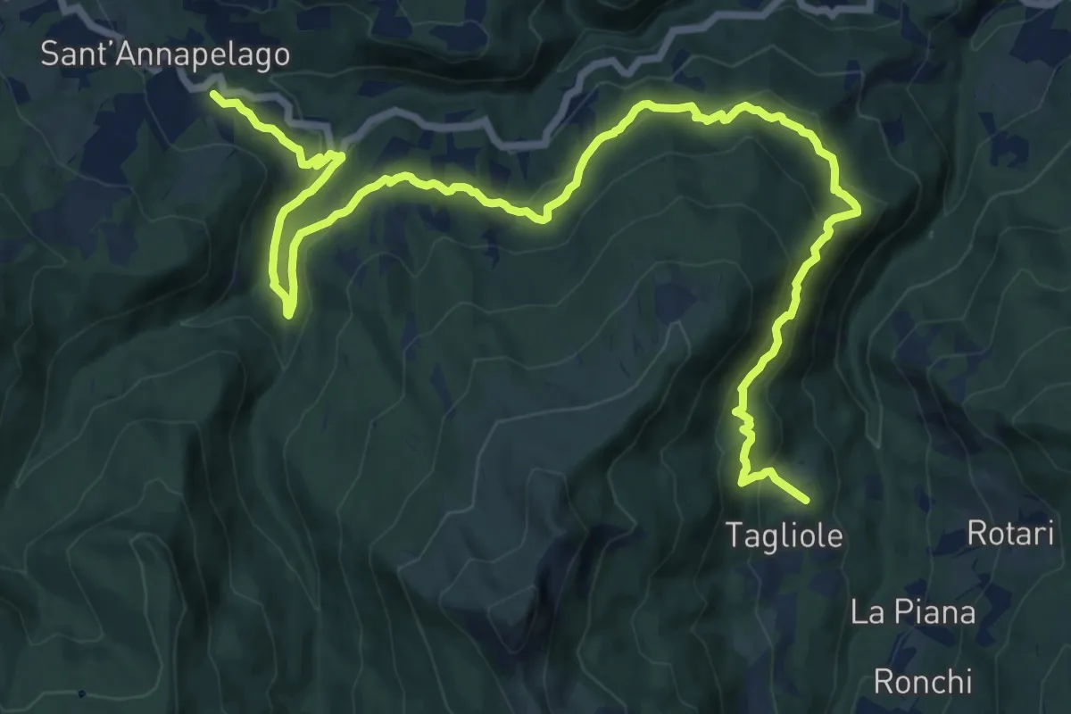
Demanding · Trail
Percorso A Ovest del Cimone WS01
20.3 km · ↑ 978 m · 6 h 54 min
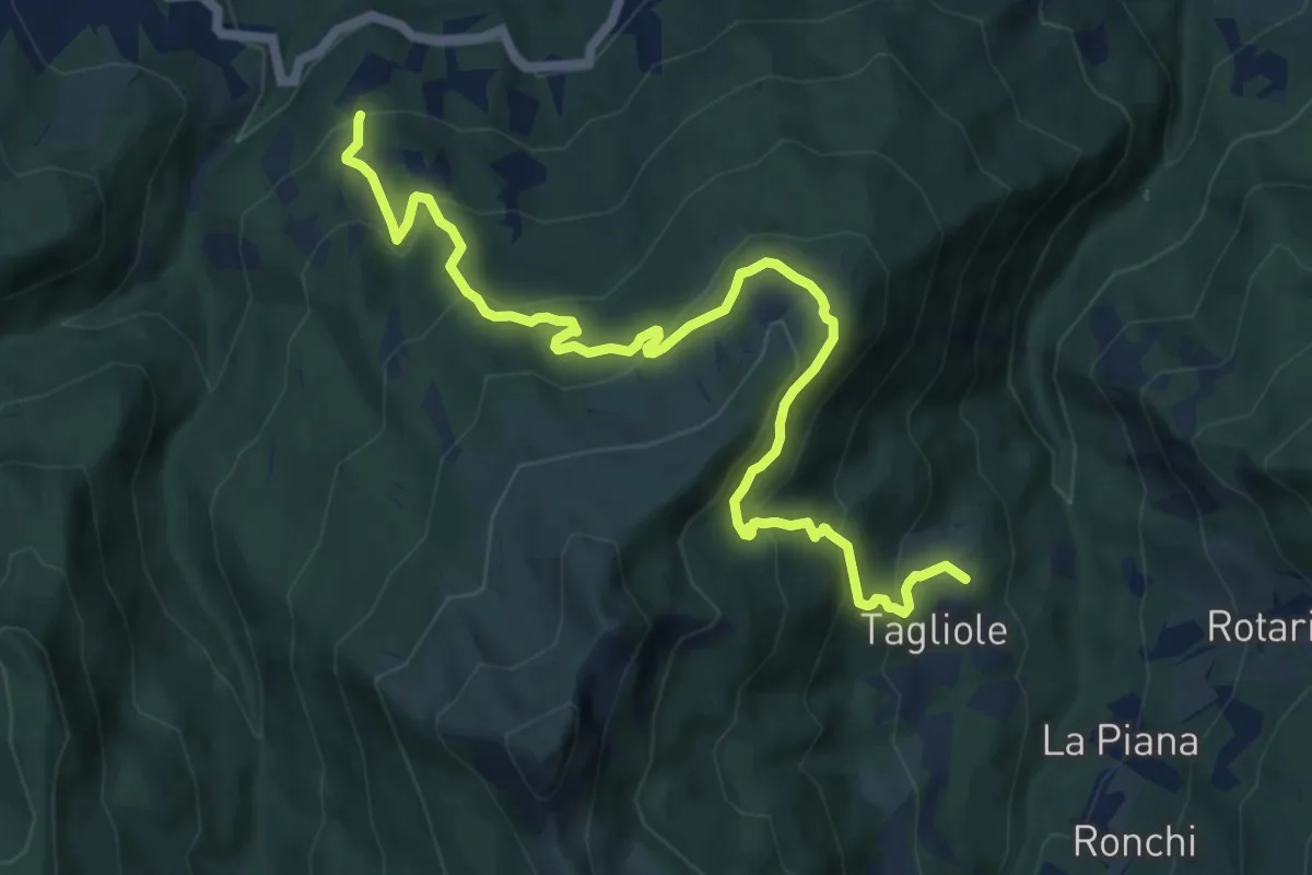
Demanding · Trail
Percorso A Ovest del Cimone WS02
12.6 km · ↑ 834 m · 4 h 47 min
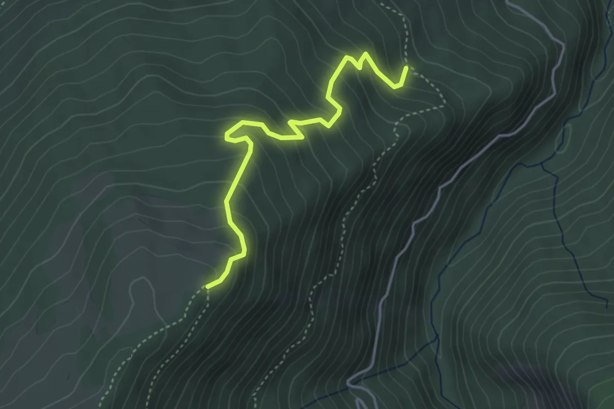
Medium · Trail
Percorso A Ovest del Cimone WS03
4.0 km · ↑ 359 m · 1 h 43 min
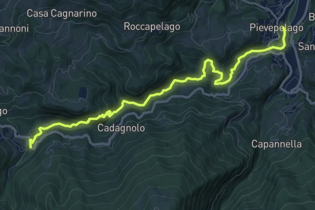
Medium · Trail
Percorso A Ovest del Cimone WS04
14.0 km · ↑ 652 m · 4 h 42 min
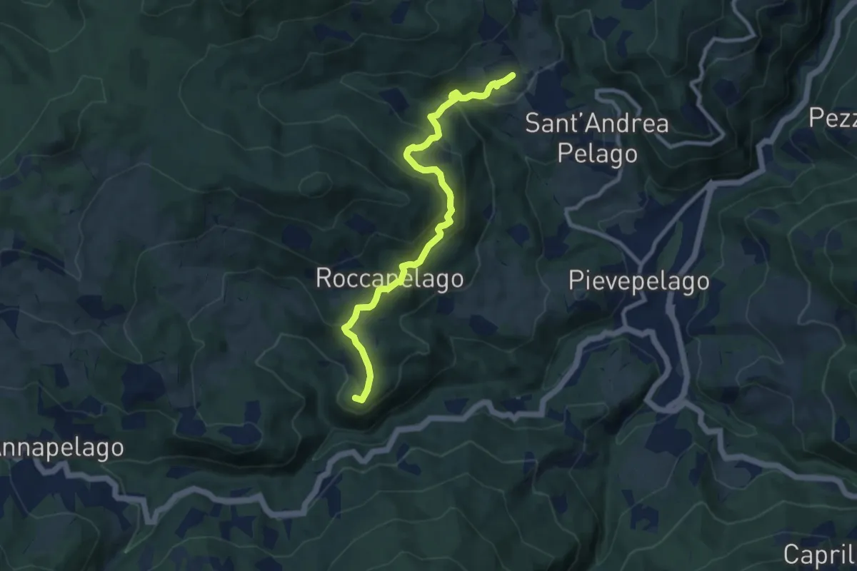
Medium · Summit
Percorso A Ovest del Cimone WS06
9.0 km · ↑ 417 m · 3 h 1 min
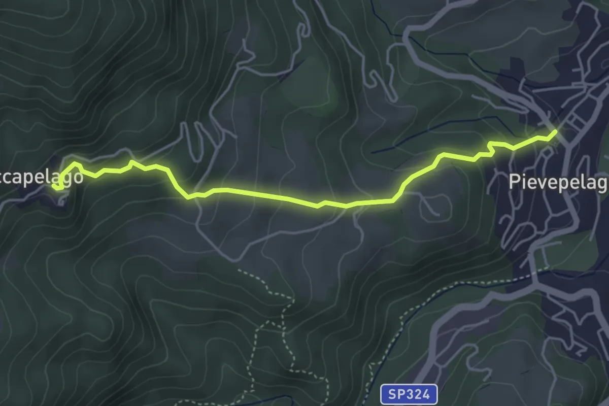
Medium · Trail
Percorso A Ovest del Cimone WS07
4.6 km · ↑ 308 m · 1 h 46 min
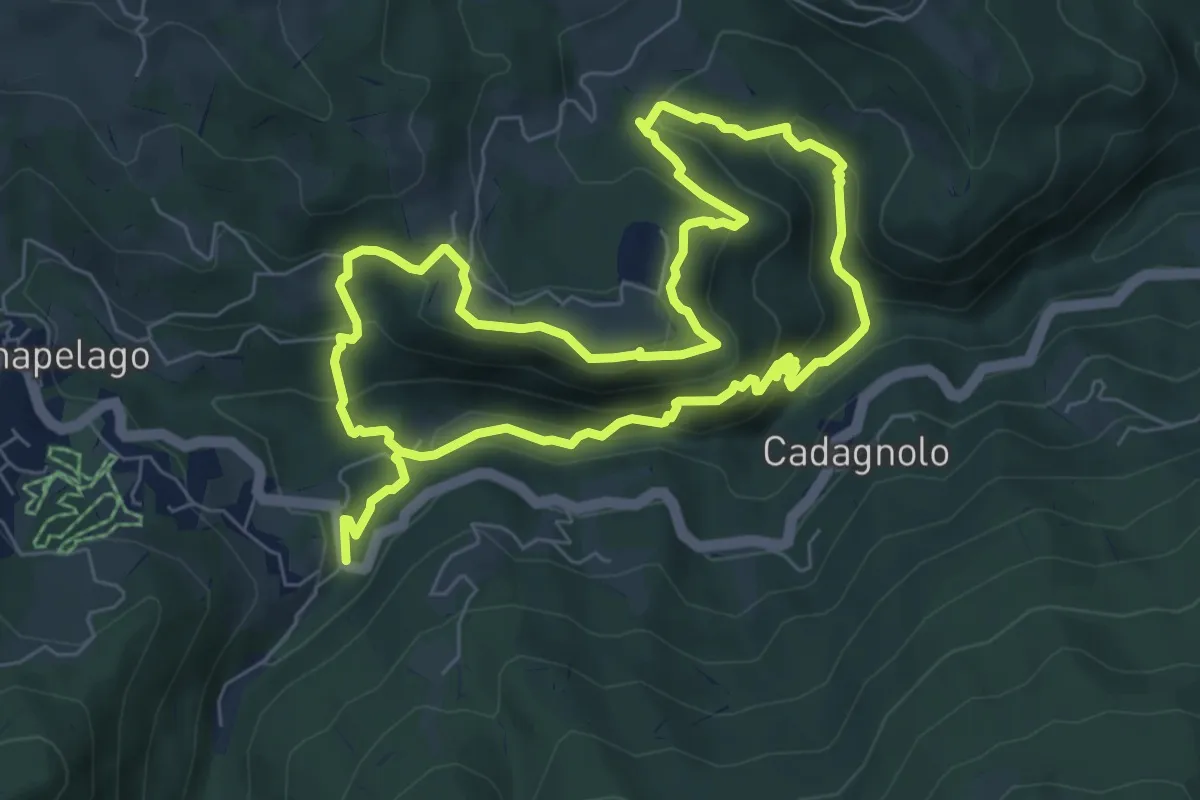
Medium · Trail
Percorso A Ovest del Cimone WS26
7.0 km · ↑ 341 m · 2 h 30 min
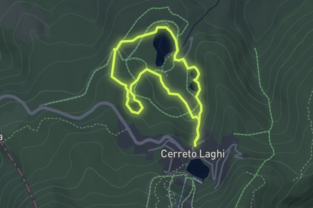
Easy · Trail
Percorso Arancio
3.1 km · ↑ 97 m · 59 min
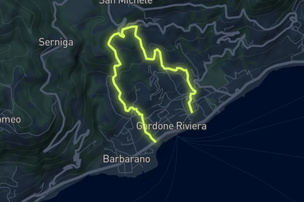
Medium · Trail
Percorso Arancio Gardone Riviera
8.4 km · ↑ 603 m · 3 h 17 min
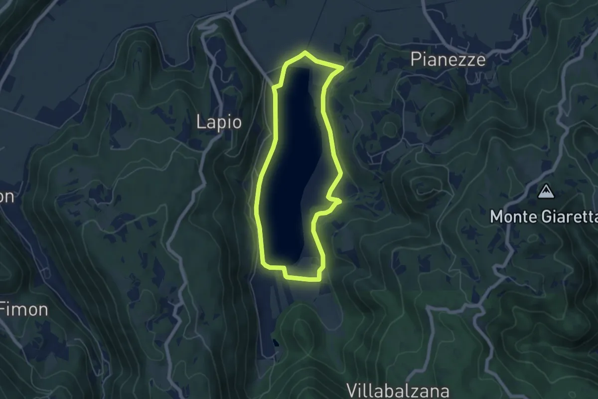
Easy · Trail
Percorso ARANCIO - Lago Alto
5.0 km · ↑ 56 m · 1 h 22 min
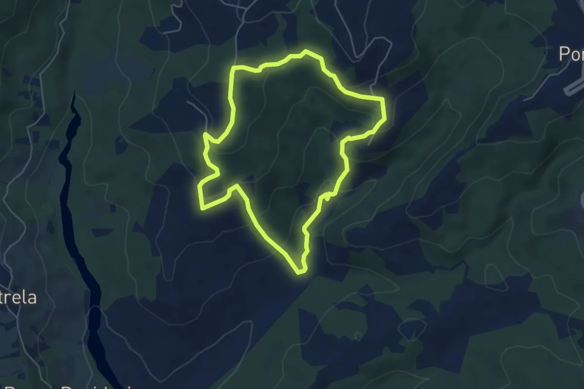
Easy · Trail
Percorso Arancione
4.8 km · ↑ 231 m · 1 h 42 min
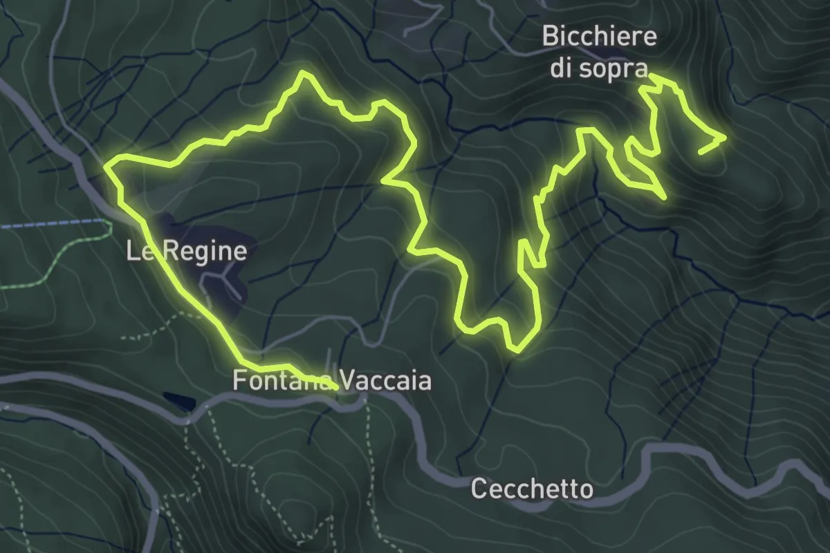
Medium · Summit
Percorso Arancione - Sentiero della Germanica Squadriglia
11.3 km · ↑ 640 m · 4 h 4 min
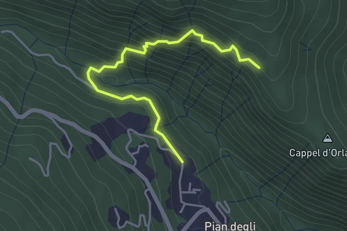
Medium · Trail
Percorso Azzurro - Via della 10° Mountain Division
3.5 km · ↑ 338 m · 1 h 34 min
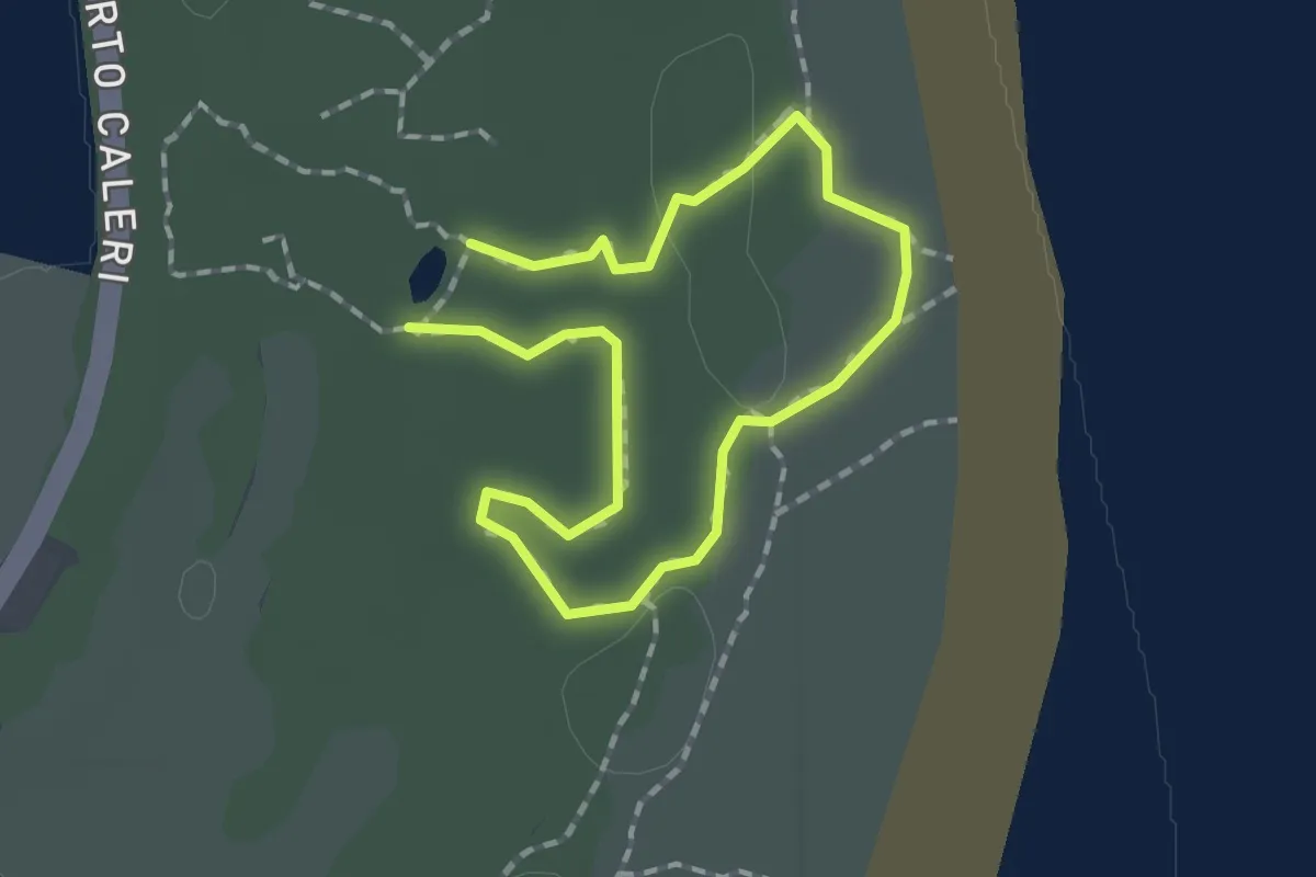
Easy · Trail
Percorso B
1.2 km · ↑ 4 m · 19 min
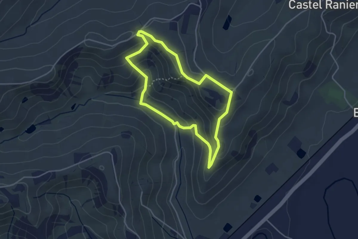
Easy · Trail
Percorso Berta
3.2 km · ↑ 116 m · 1 h 3 min
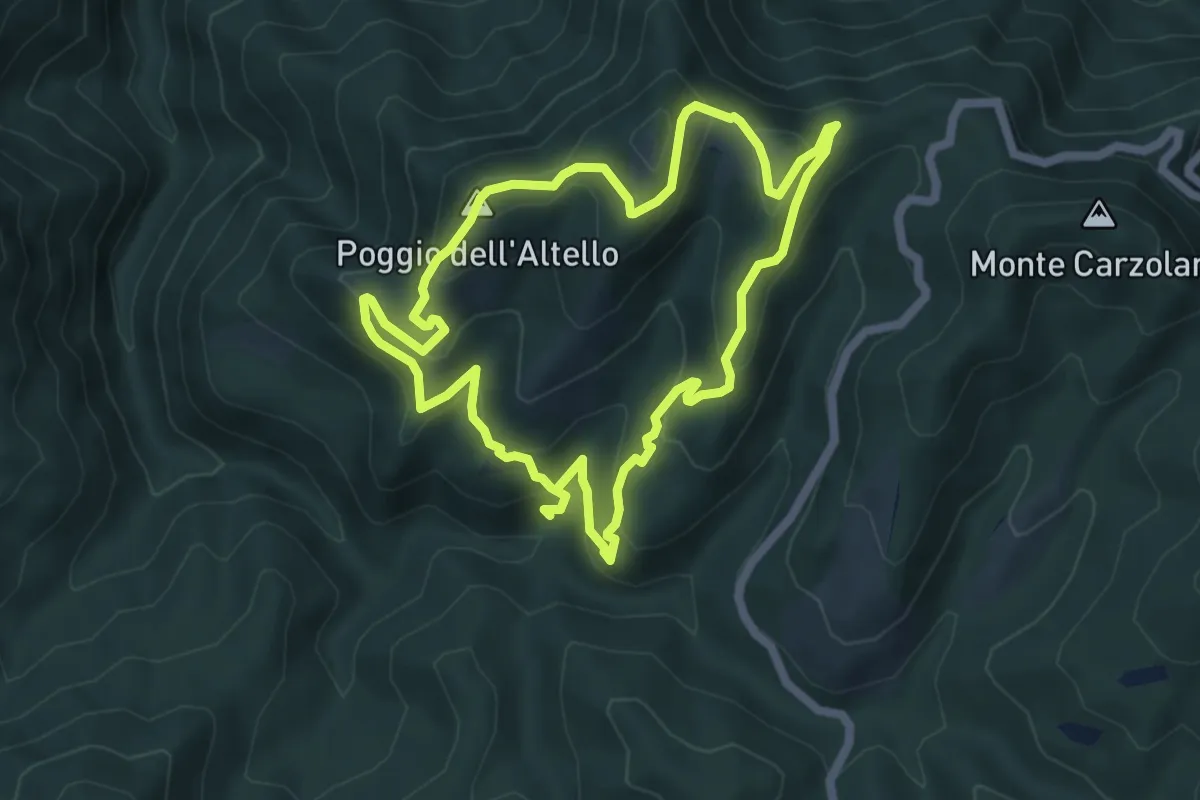
Medium · Summit
Percorso Biodiversità
5.7 km · ↑ 320 m · 2 h 9 min
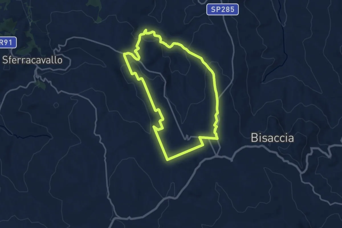
Demanding · Trail
Percorso bisaccese delle acque
25.8 km · ↑ 794 m · 7 h 49 min
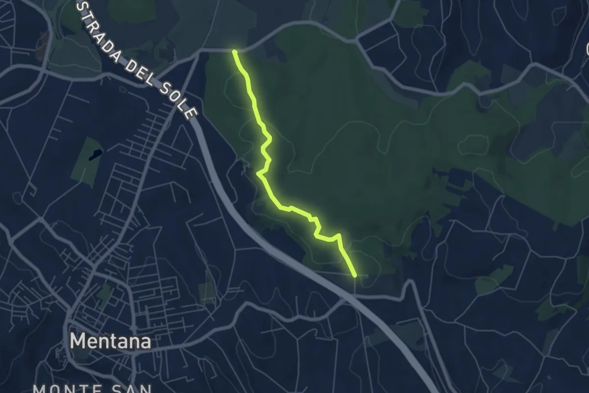
Easy · Trail
Percorso Blu
5.2 km · ↑ 58 m · 1 h 22 min
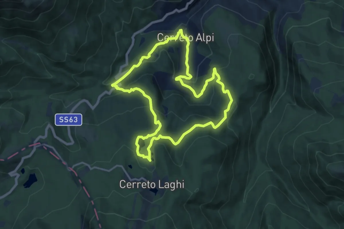
Medium · Summit
Percorso Blu
10.1 km · ↑ 441 m · 3 h 29 min
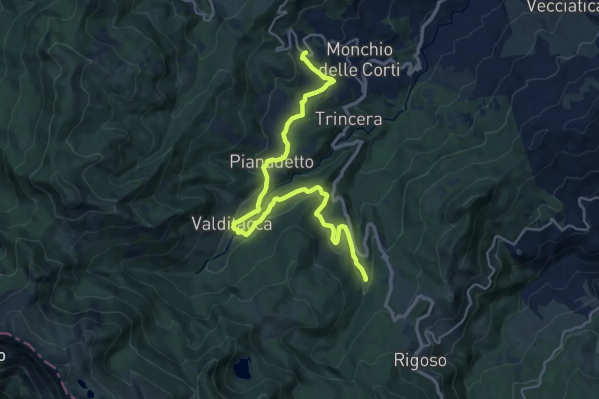
Medium · Trail
Percorso Blu delle Frazioni
17.1 km · ↑ 426 m · 4 h 57 min
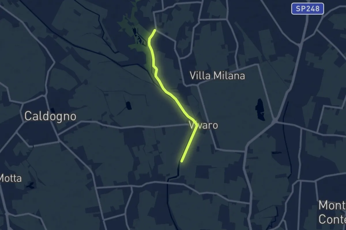
Easy · Trail
Percorso Bluette
5.9 km · ↑ 9 m · 1 h 25 min
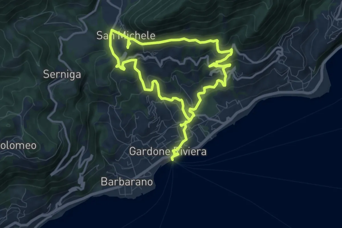
Medium · Trail
Percorso Blu Gardone Riviera
15.6 km · ↑ 693 m · 5 h 12 min
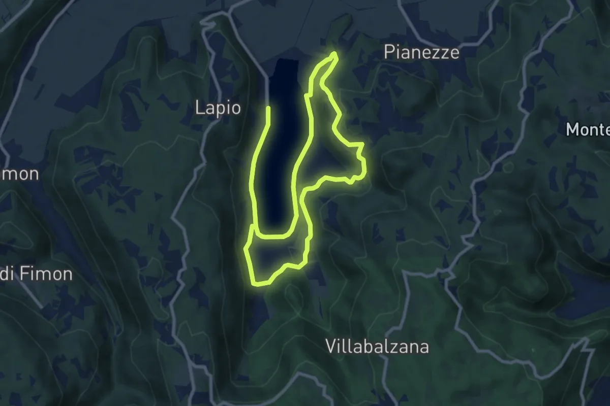
Medium · Trail
Percorso BLU - Pianezze
15.1 km · ↑ 308 m · 4 h 14 min
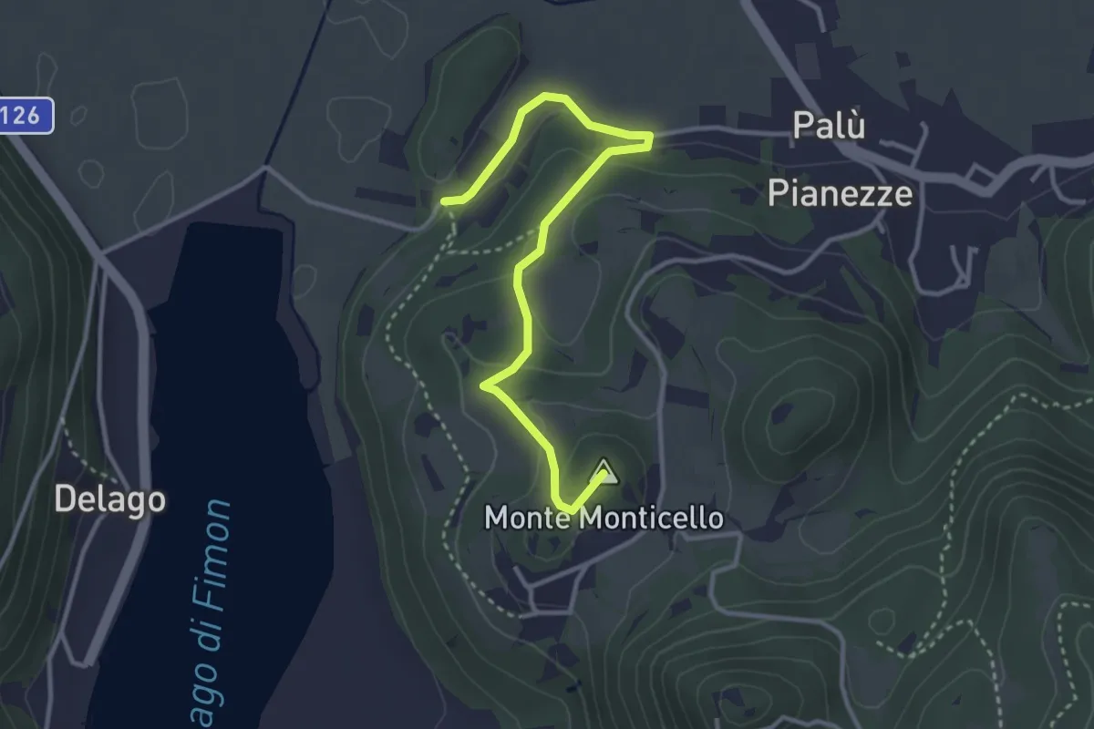
Easy · Summit
Percorso BLU - Variante
3.5 km · ↑ 135 m · 1 h 7 min
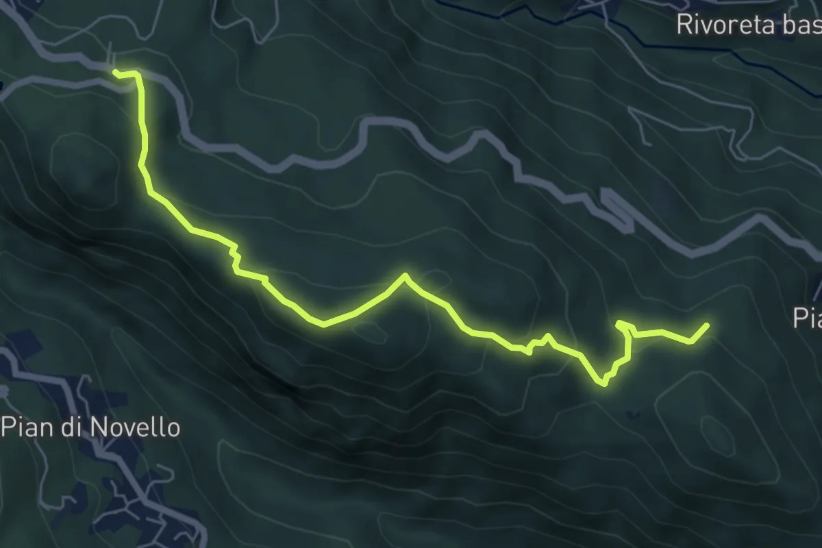
Medium · Trail
Percorso Blu - Via delle Pattuglie
6.8 km · ↑ 350 m · 2 h 22 min
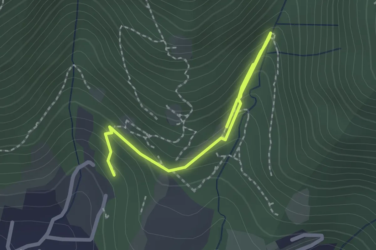
Medium · Trail
Percorso botanico
2.7 km · ↑ 231 m · 1 h 9 min
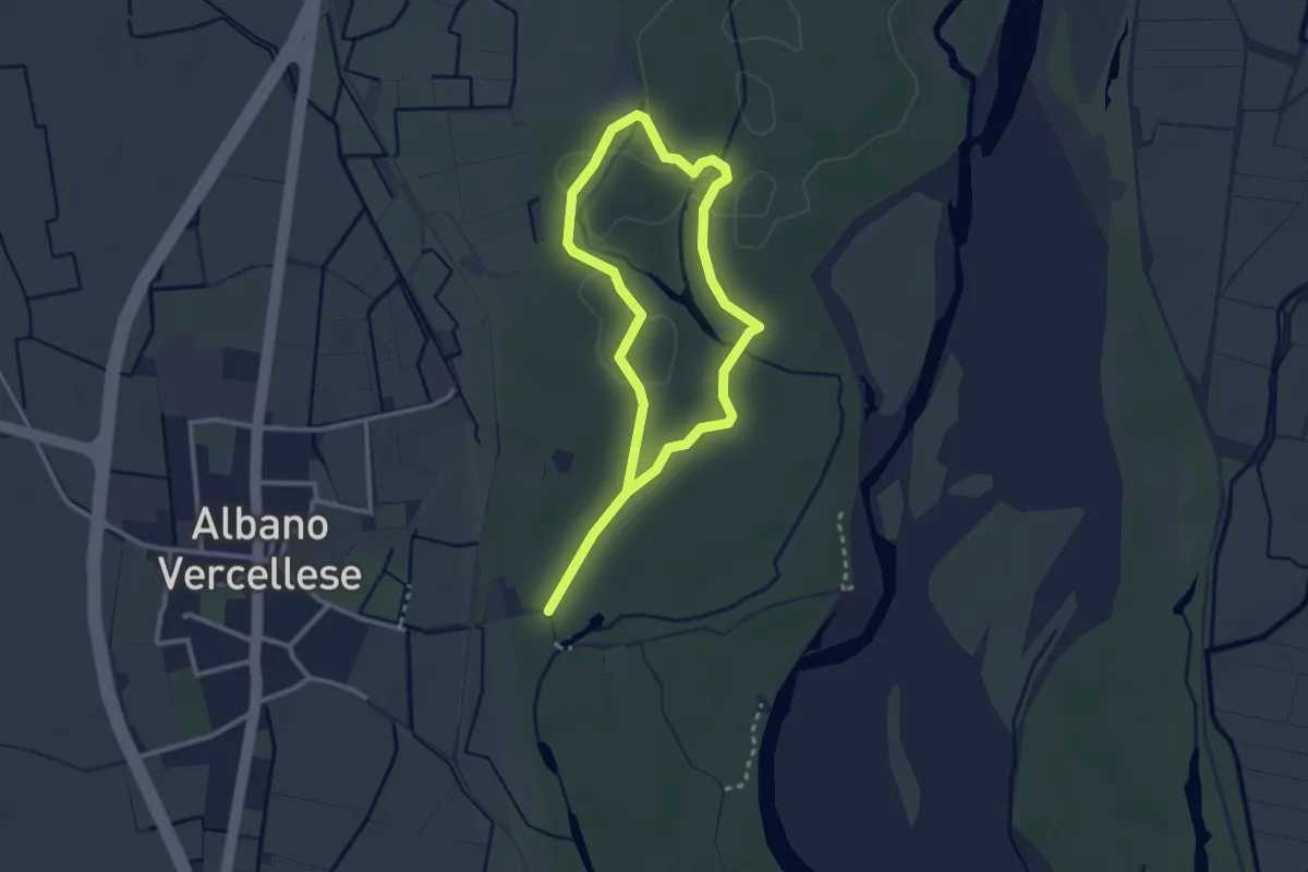
Easy · Trail
Percorso Botanico Autoguidato
4.7 km · ↑ 13 m · 1 h 8 min
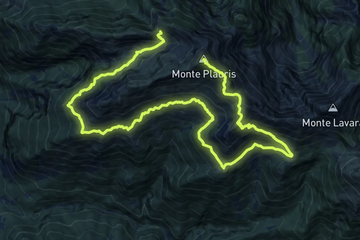
Demanding · Summit
Percorso botanico del monte Plauris
25.7 km · ↑ 2433 m · 11 h 20 min
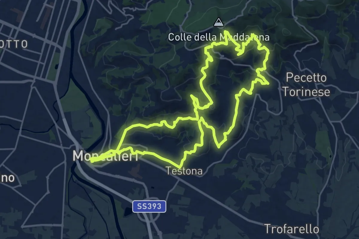
Demanding · Trail
Percorso Bruno Marasso
20.0 km · ↑ 806 m · 6 h 44 min
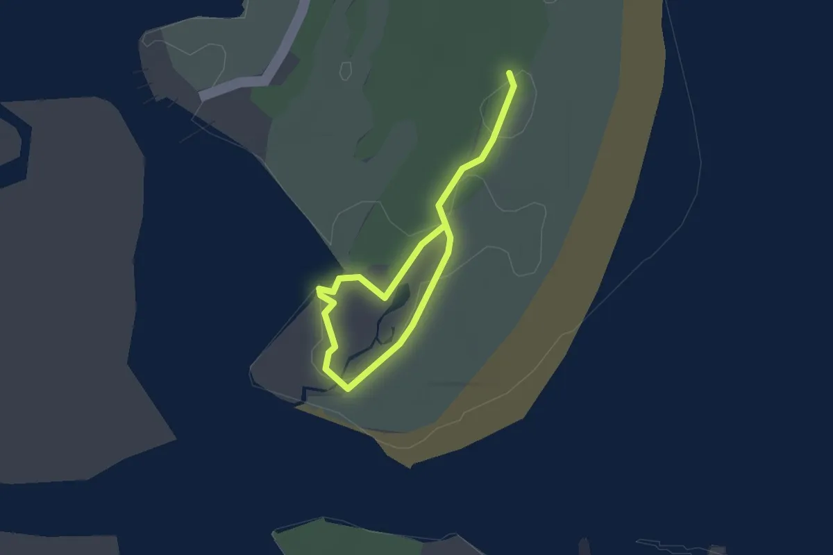
Easy · Trail
Percorso C
2.3 km · ↑ 0 m · 33 min
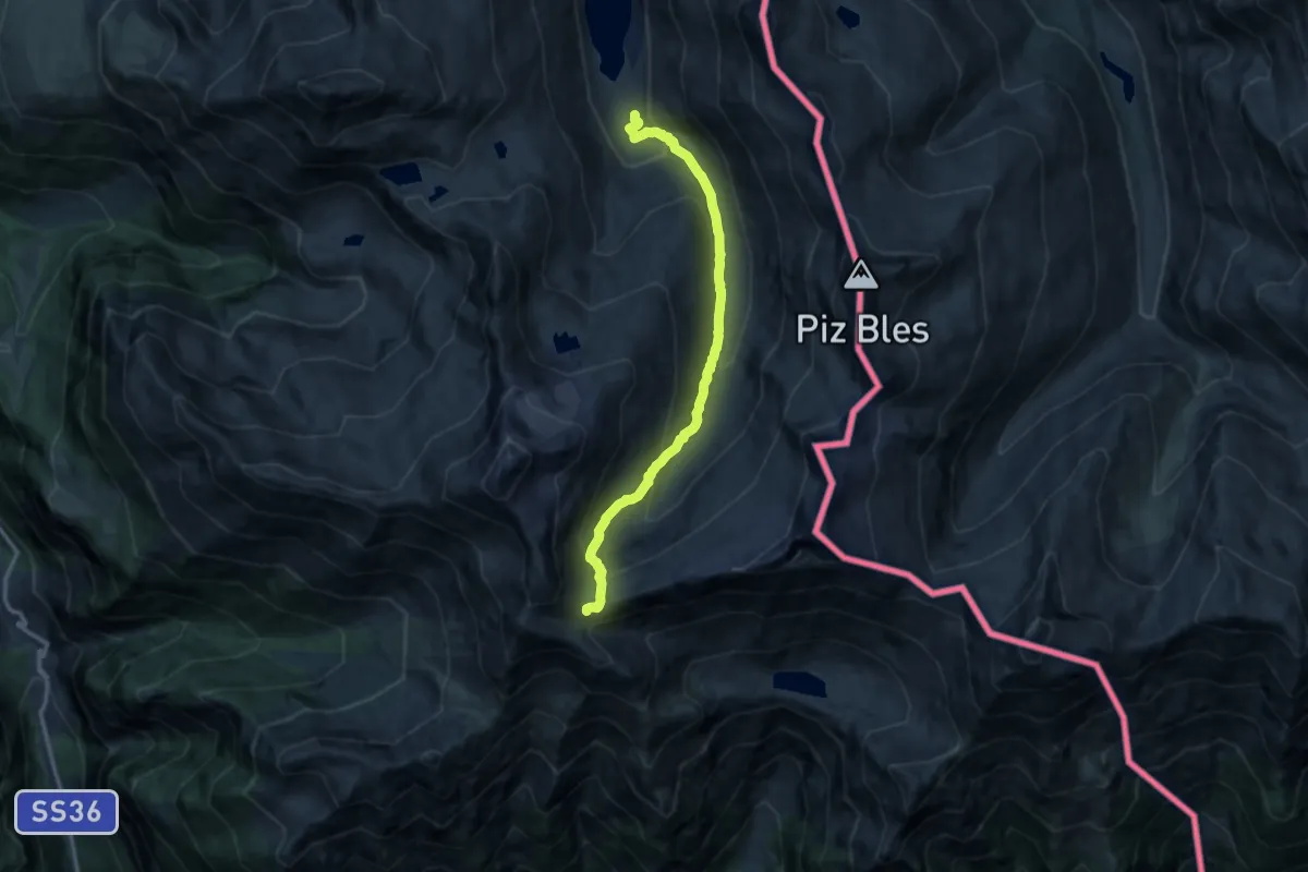
Medium · Cabin
Percorso C4
12.2 km · ↑ 756 m · 4 h 32 min
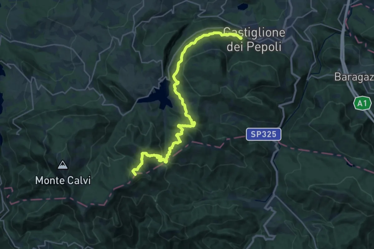
Demanding · Summit
Percorso CAI 001
20.7 km · ↑ 1156 m · 7 h 24 min
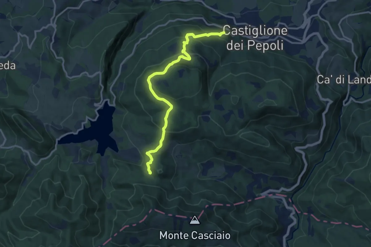
Medium · Trail
Percorso CAI 003
10.2 km · ↑ 618 m · 3 h 45 min
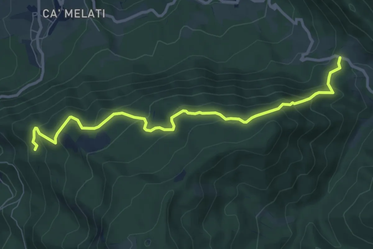
Medium · Trail
Percorso CAI 009
8.0 km · ↑ 461 m · 2 h 53 min
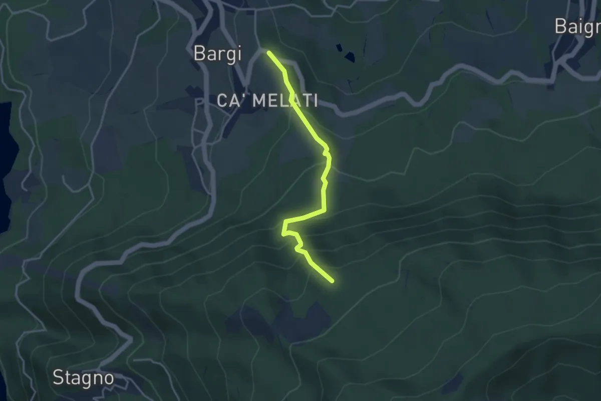
Medium · Trail
Percorso CAI 009A
3.3 km · ↑ 298 m · 1 h 26 min
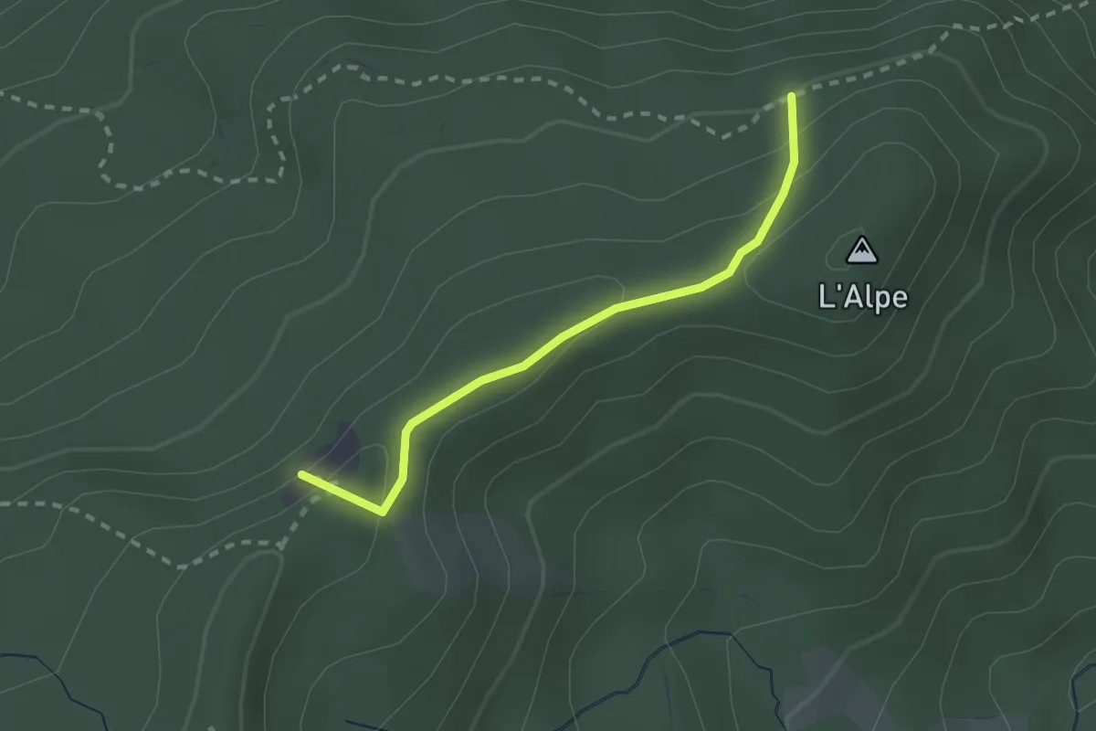
Medium · Summit
Percorso CAI 009B
2.2 km · ↑ 104 m · 44 min
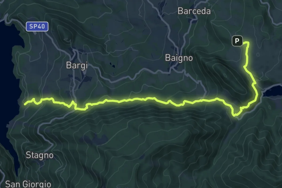
Medium · Trail
Percorso CAI 011
13.8 km · ↑ 662 m · 4 h 42 min
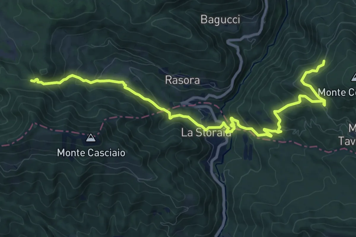
Demanding · Trail
Percorso CAI 015
15.2 km · ↑ 830 m · 5 h 24 min