Trails in Italy
25,221 hiking trails, each with its route, climb, walking time and grade.
All trails, page 118 of 526
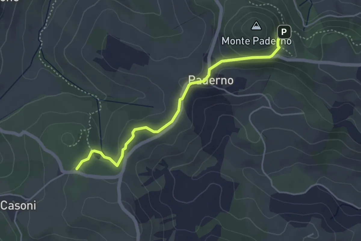
Easy · Trail
Percorso CAI 920
4.1 km · ↑ 117 m · 1 h 13 min
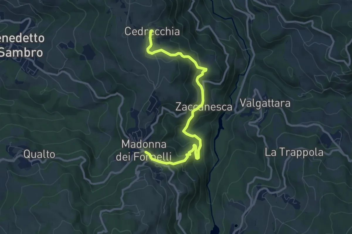
Medium · Trail
Percorso CAI 923
8.9 km · ↑ 410 m · 3 h
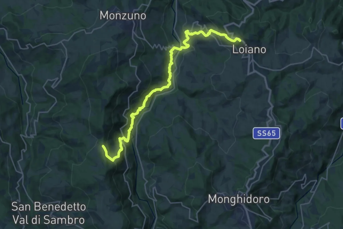
Demanding · Trail
Percorso CAI 925
21.2 km · ↑ 1273 m · 7 h 45 min
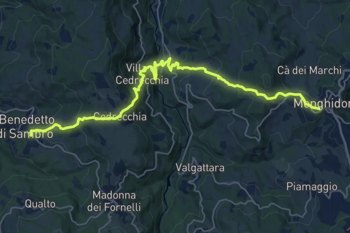
Demanding · Trail
Percorso CAI 927
19.5 km · ↑ 1116 m · 7 h 1 min
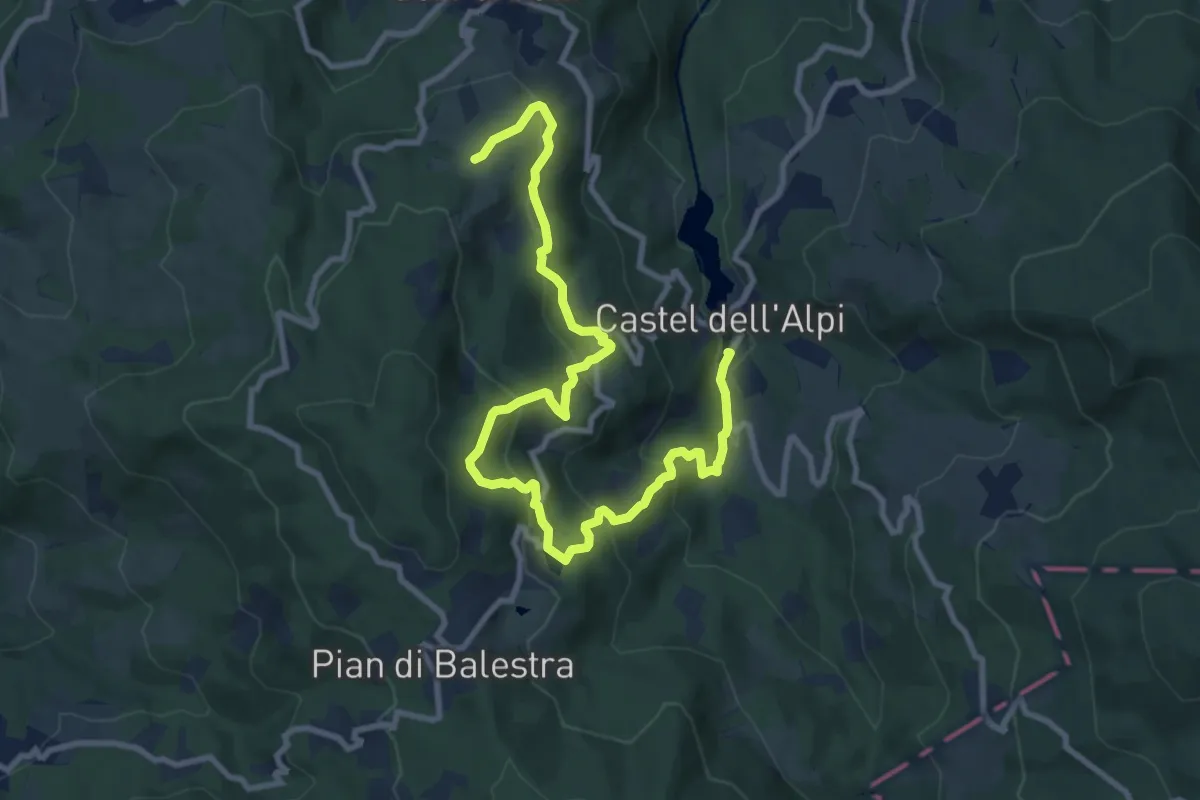
Medium · Trail
Percorso CAI 929
12.4 km · ↑ 720 m · 4 h 29 min
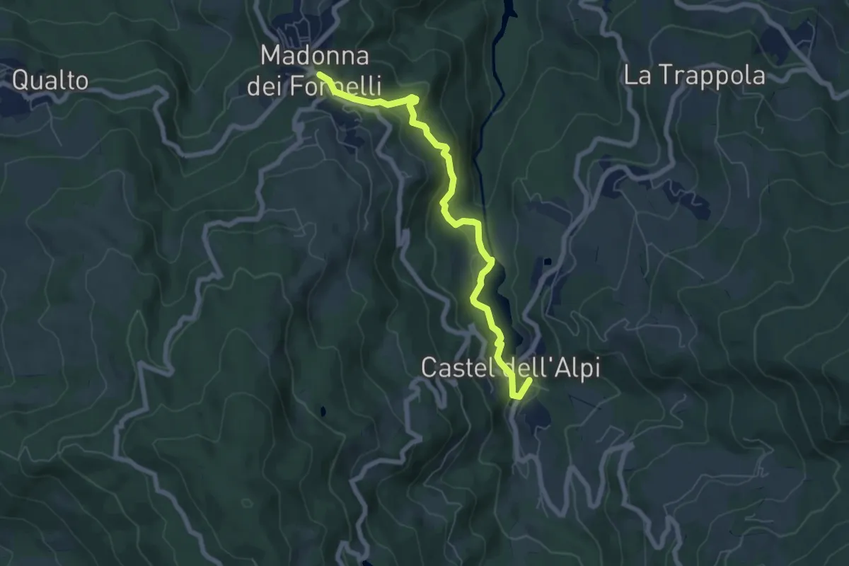
Easy · Trail
Percorso CAI 930
6.5 km · ↑ 251 m · 2 h 5 min
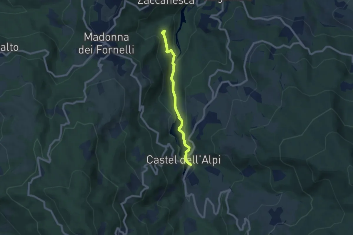
Easy · Trail
Percorso CAI 931
5.0 km · ↑ 157 m · 1 h 31 min
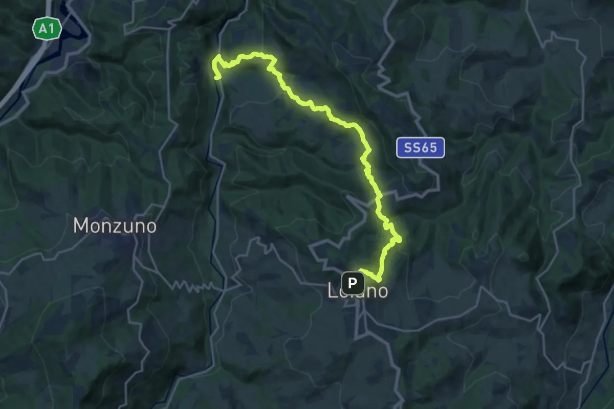
Demanding · Trail
Percorso CAI 941
18.7 km · ↑ 853 m · 6 h 16 min
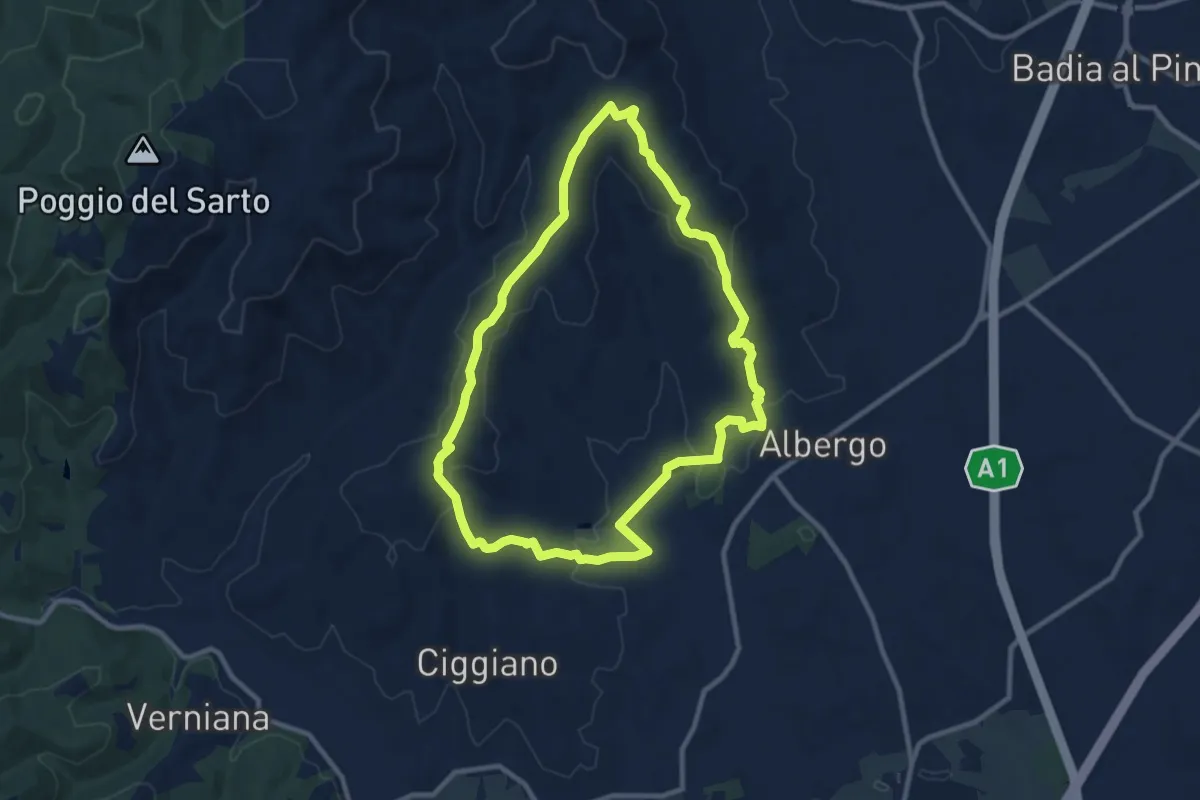
Medium · Trail
Percorso CAMPO ALLE ROSE
10.3 km · ↑ 252 m · 3 h 7 min
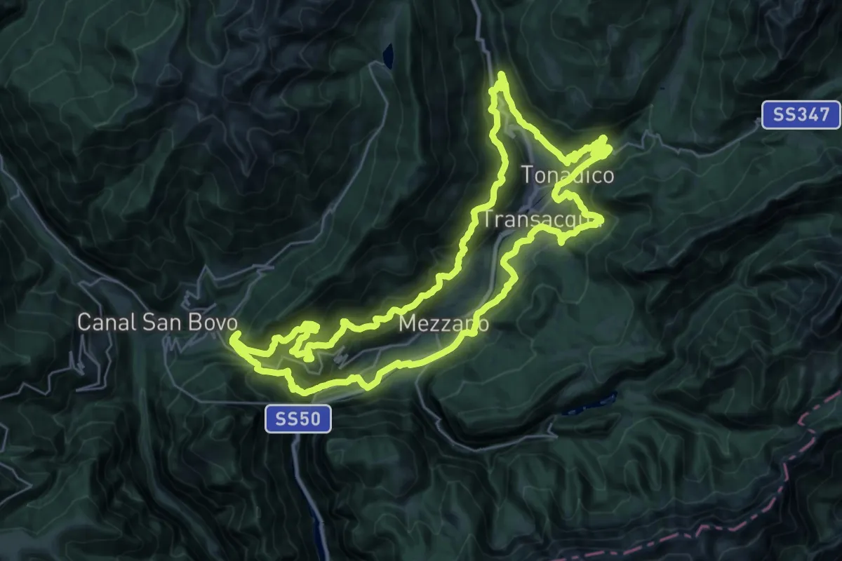
Demanding · Summit
Percorso ciclo-pedonale Quota 860
32.4 km · ↑ 1684 m · 11 h 44 min
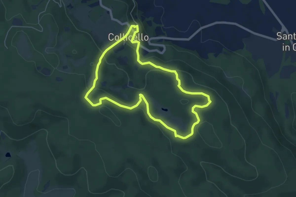
Easy · Trail
Percorso circolare Collicello - Breve
5.3 km · ↑ 212 m · 1 h 47 min
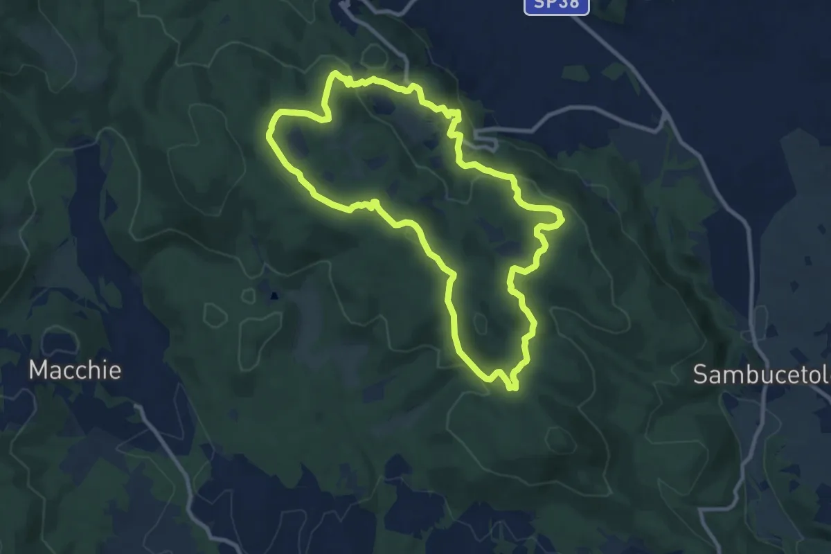
Medium · Trail
Percorso circolare Collicello - Lungo
9.8 km · ↑ 282 m · 3 h 4 min
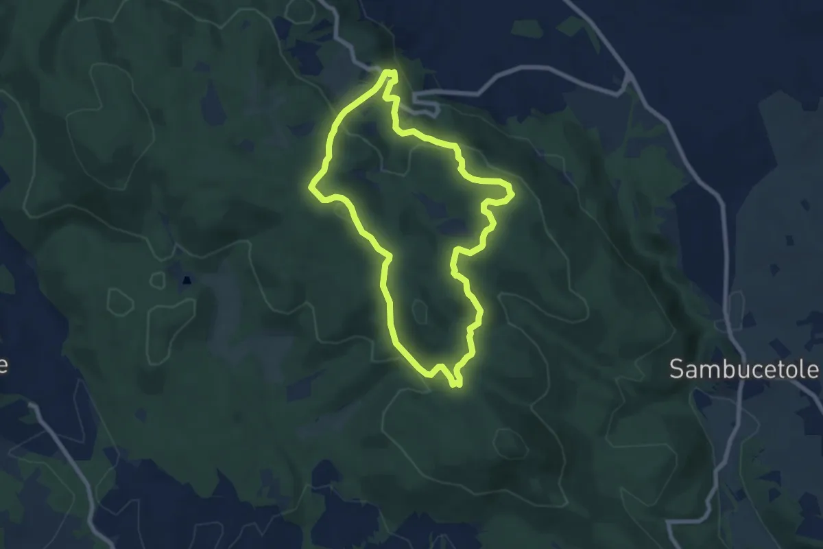
Easy · Trail
Percorso circolare Collicello - Medio
7.1 km · ↑ 244 m · 2 h 18 min
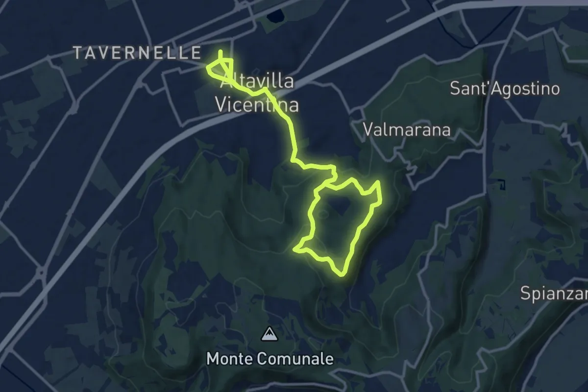
Easy · Trail
Percorso Circolare di Altavilla - 10 km
7.7 km · ↑ 123 m · 2 h 15 min
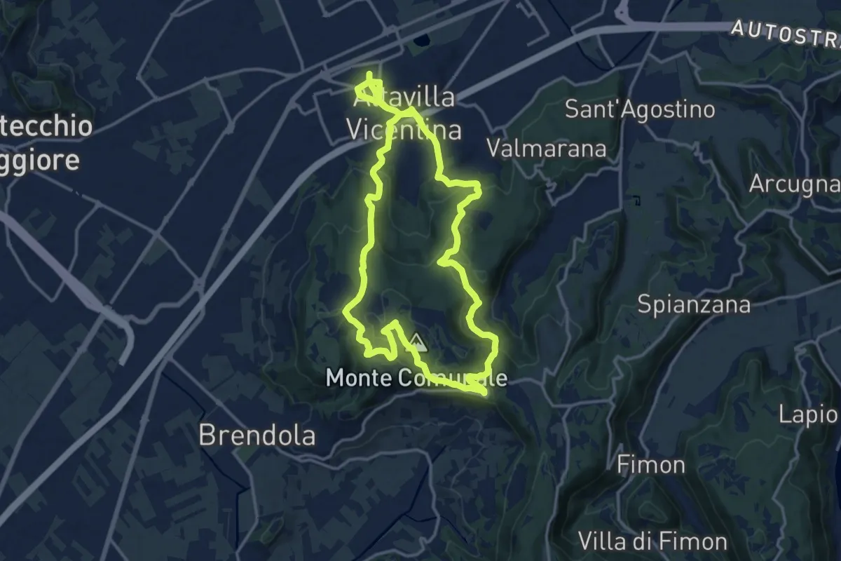
Medium · Summit
Percorso Circolare di Altavilla - 20 km
13.9 km · ↑ 413 m · 4 h 22 min
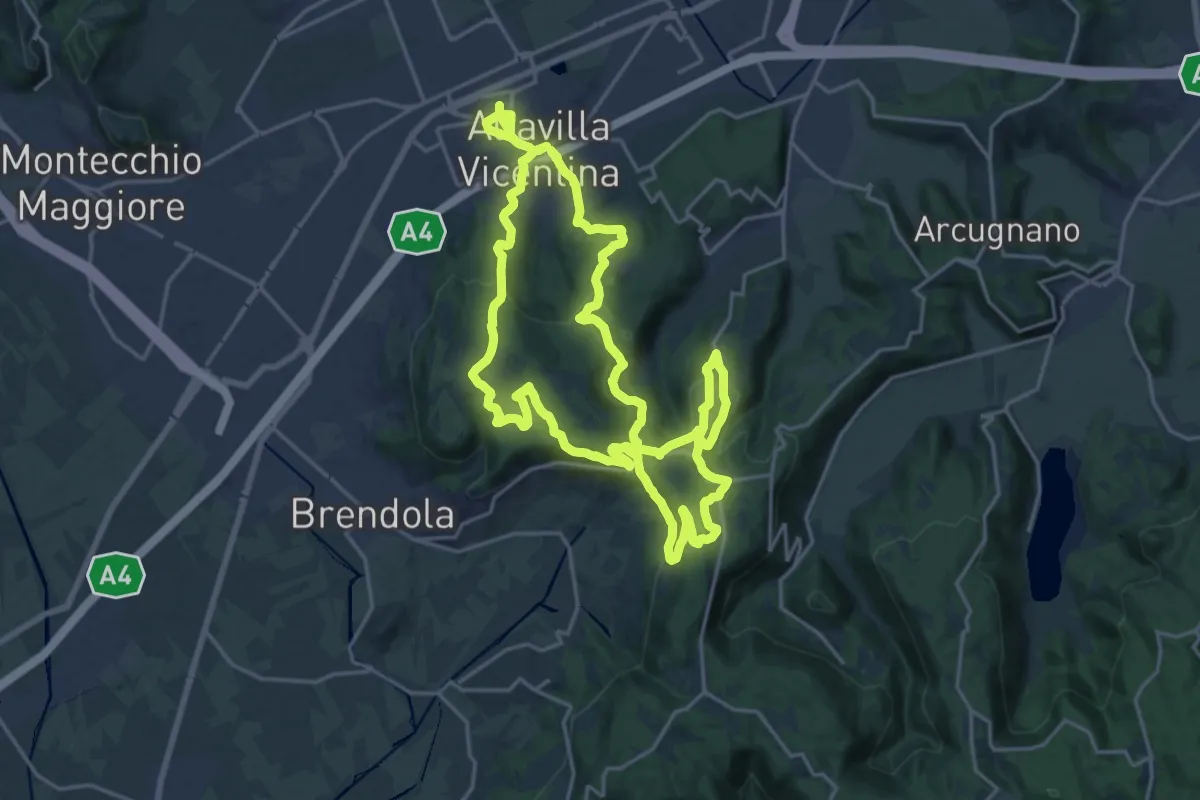
Demanding · Summit
Percorso Circolare di Altavilla - 30 km
21.2 km · ↑ 623 m · 6 h 39 min
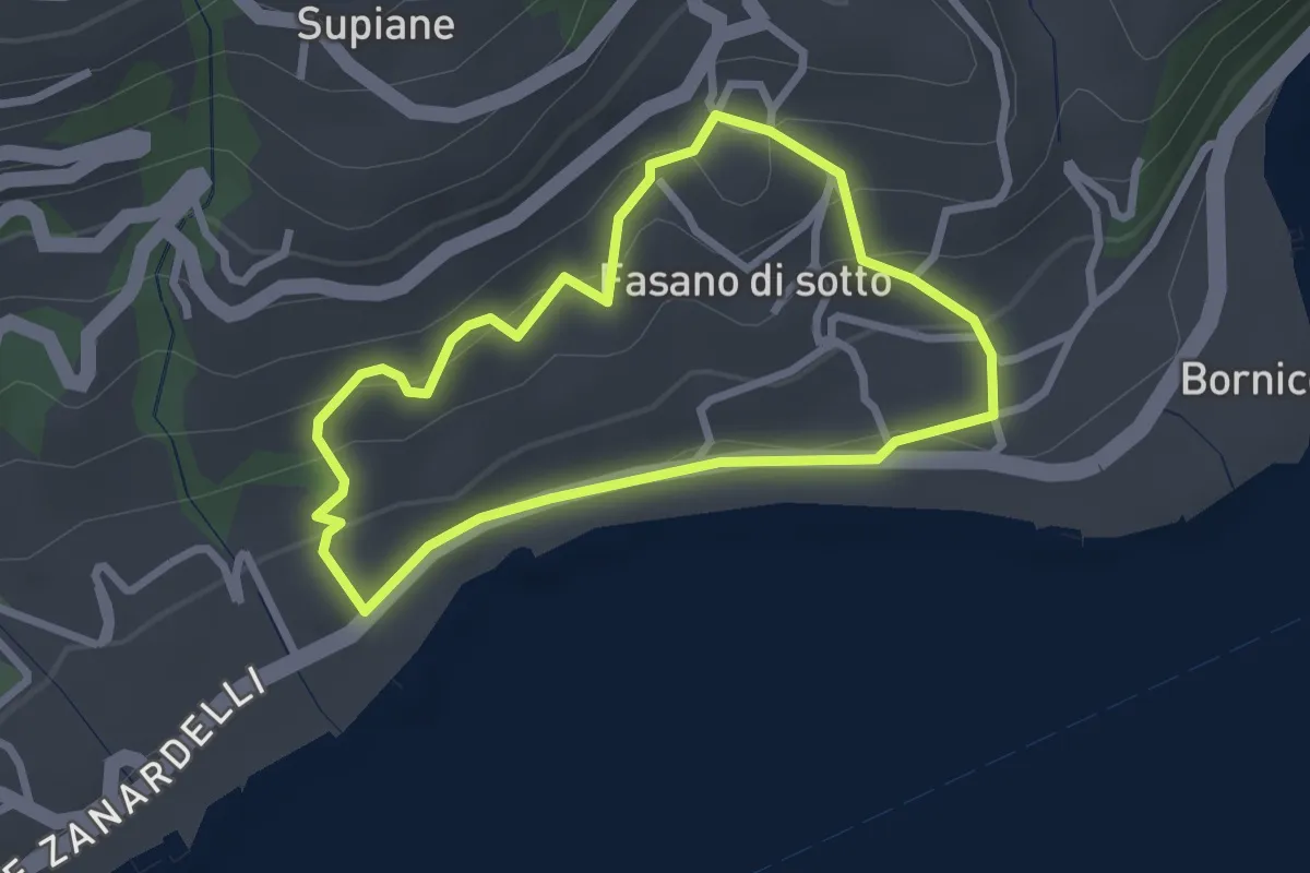
Easy · Trail
Percorso Cobalto Gardone Riviera
2.4 km · ↑ 129 m · 53 min
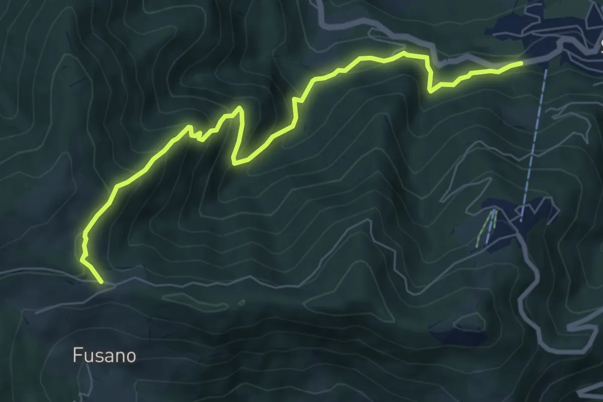
Medium · Trail
Percorso comunale 1
8.0 km · ↑ 660 m · 3 h 19 min
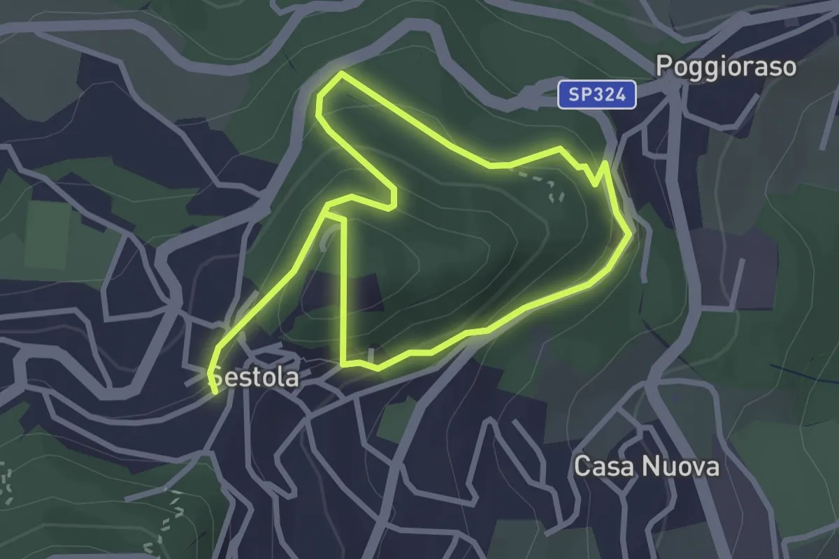
Easy · Trail
Percorso comunale 10
4.6 km · ↑ 297 m · 1 h 44 min
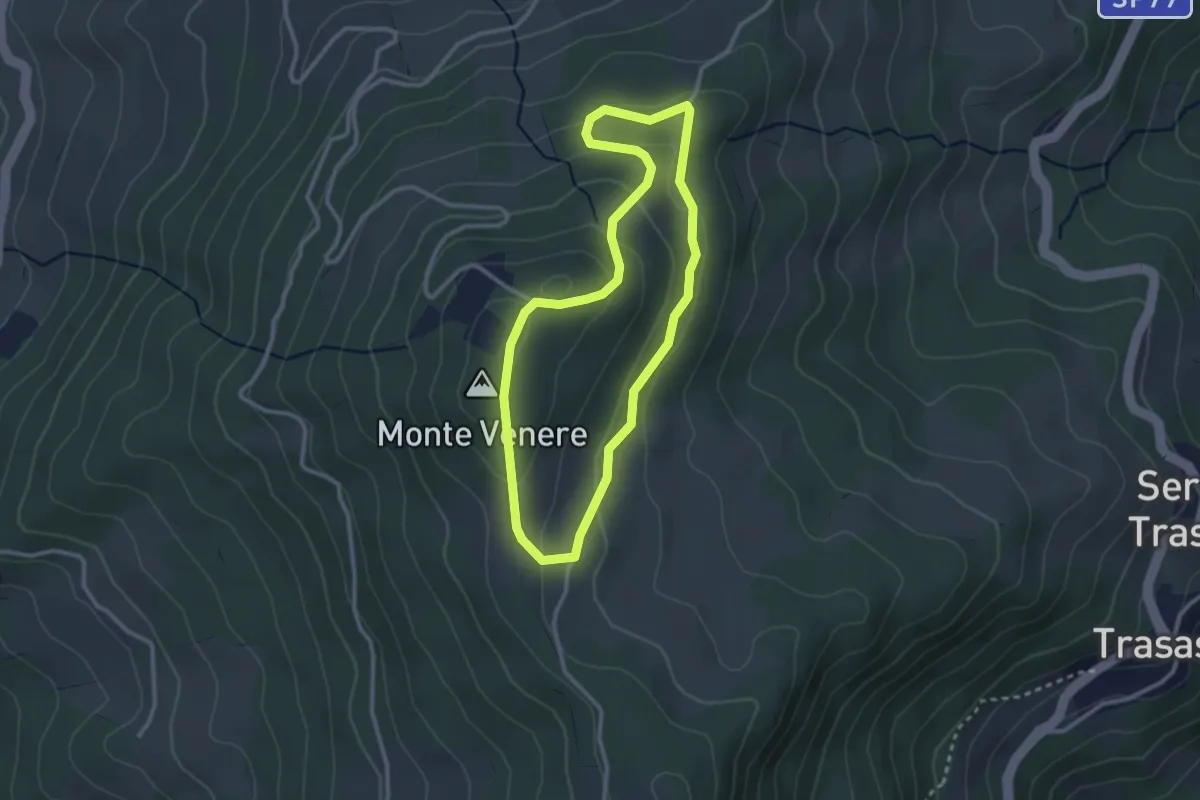
Easy · Summit
Percorso comunale 10
2.7 km · ↑ 110 m · 55 min
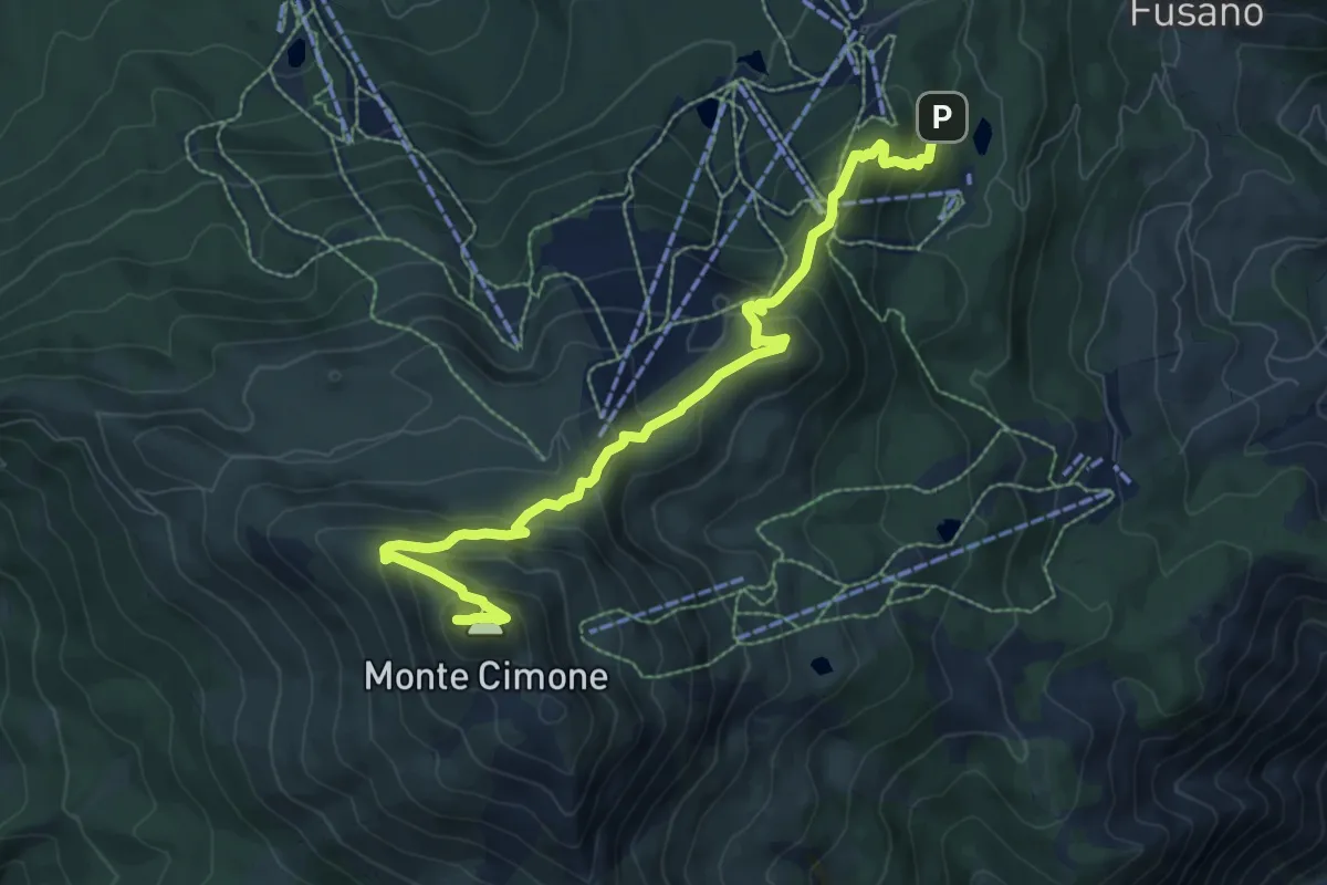
Medium · Summit
Percorso comunale 11
9.1 km · ↑ 632 m · 3 h 31 min
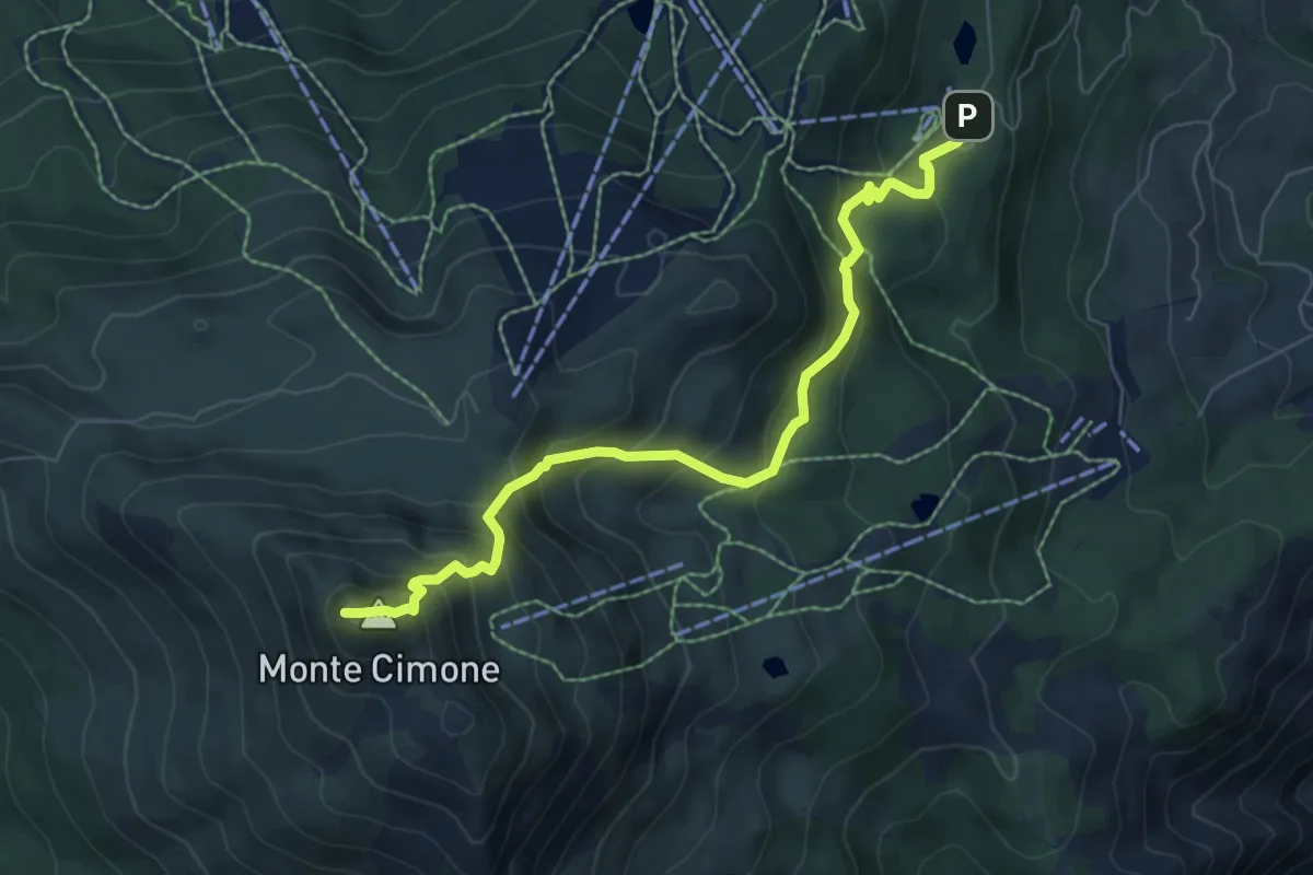
Medium · Summit
Percorso comunale 13
7.5 km · ↑ 680 m · 3 h 15 min
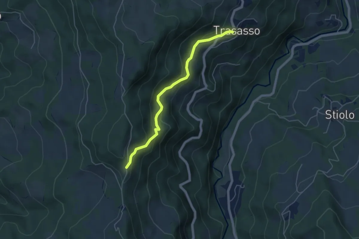
Medium · Trail
Percorso comunale 14
4.6 km · ↑ 266 m · 1 h 40 min
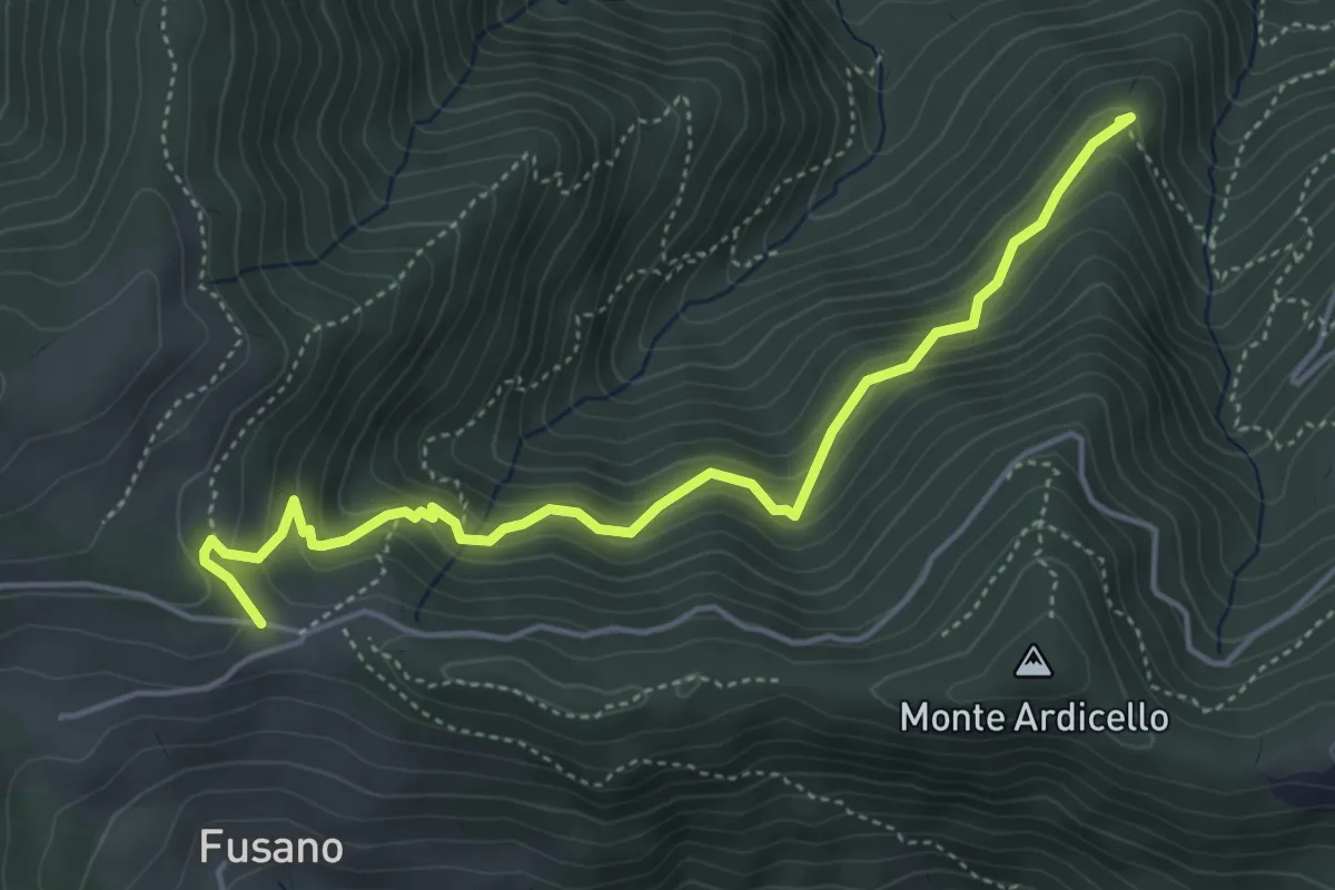
Medium · Summit
Percorso comunale 2
5.1 km · ↑ 487 m · 2 h 15 min
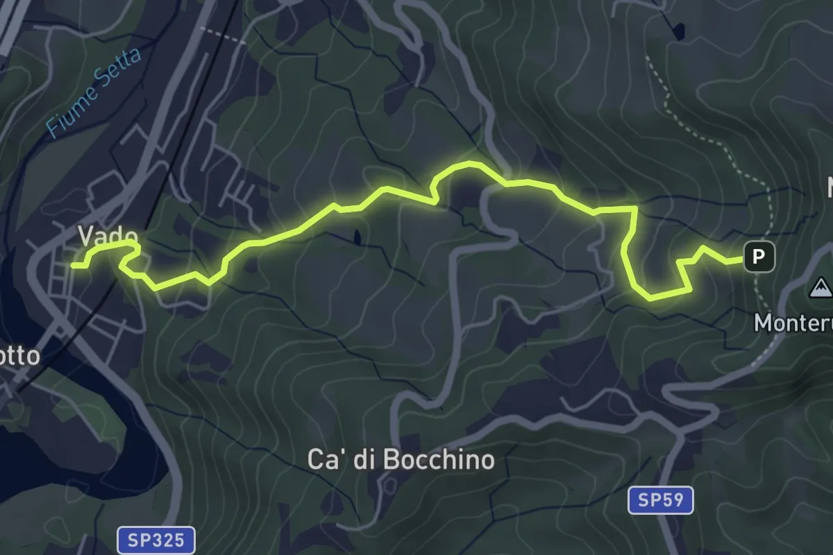
Medium · Trail
Percorso comunale 2
5.7 km · ↑ 328 m · 2 h 4 min
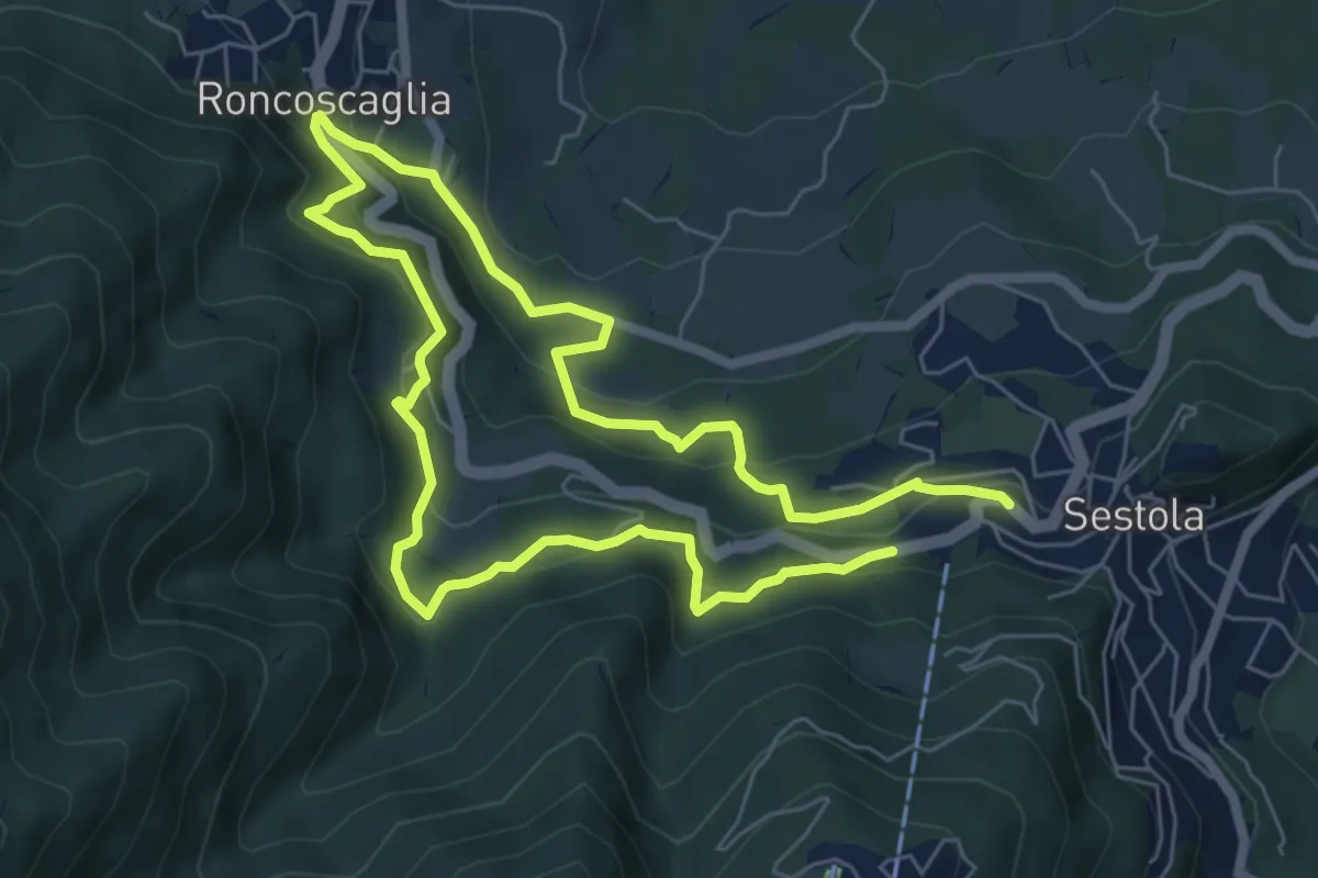
Medium · Trail
Percorso comunale 4
11.7 km · ↑ 669 m · 4 h 12 min
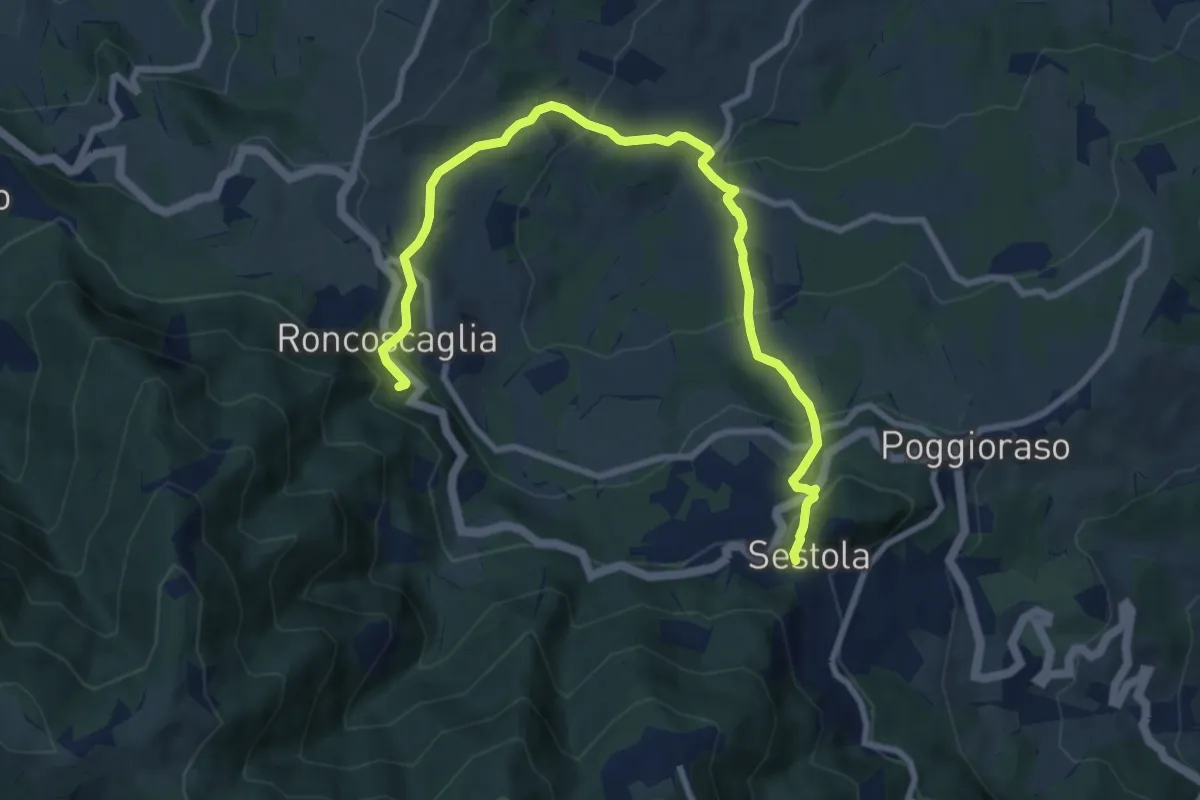
Medium · Trail
percorso comunale 5
10.2 km · ↑ 572 m · 3 h 39 min
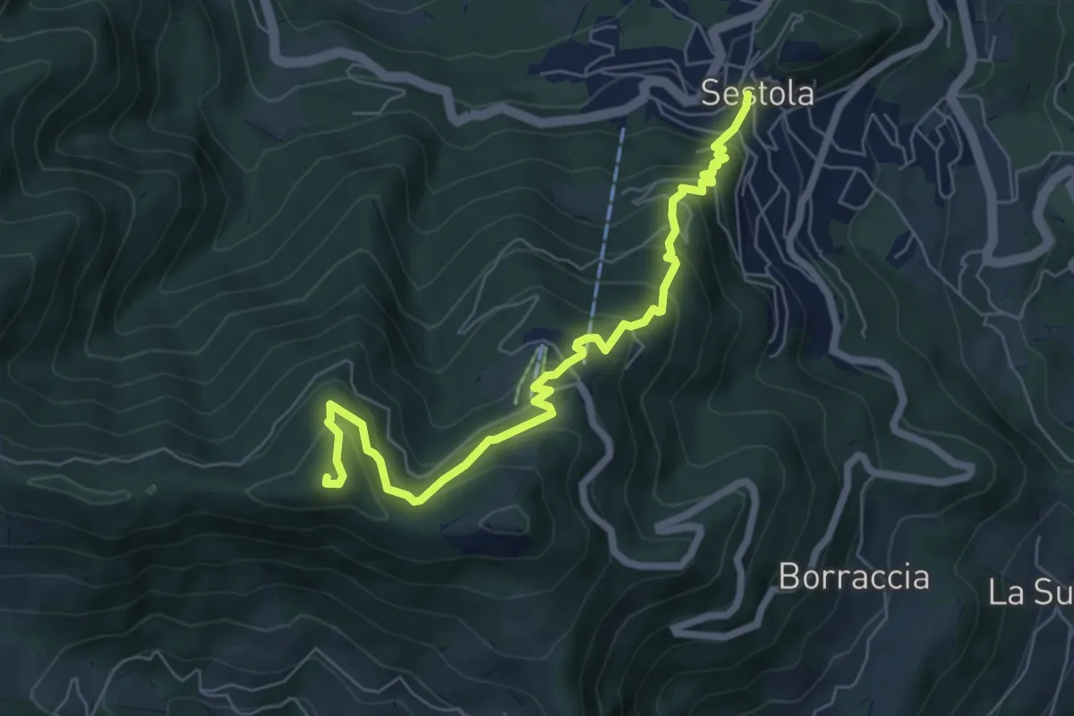
Medium · Summit
Percorso comunale 6
6.8 km · ↑ 544 m · 2 h 48 min
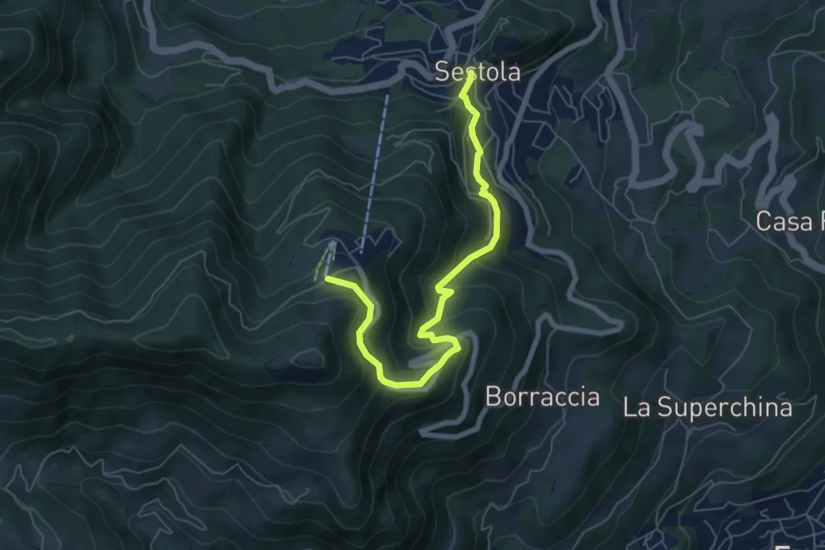
Medium · Trail
Percorso comunale 8
6.4 km · ↑ 402 m · 2 h 23 min
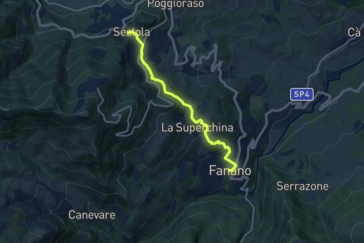
Medium · Trail
percorso comunale 9
8.2 km · ↑ 417 m · 2 h 50 min
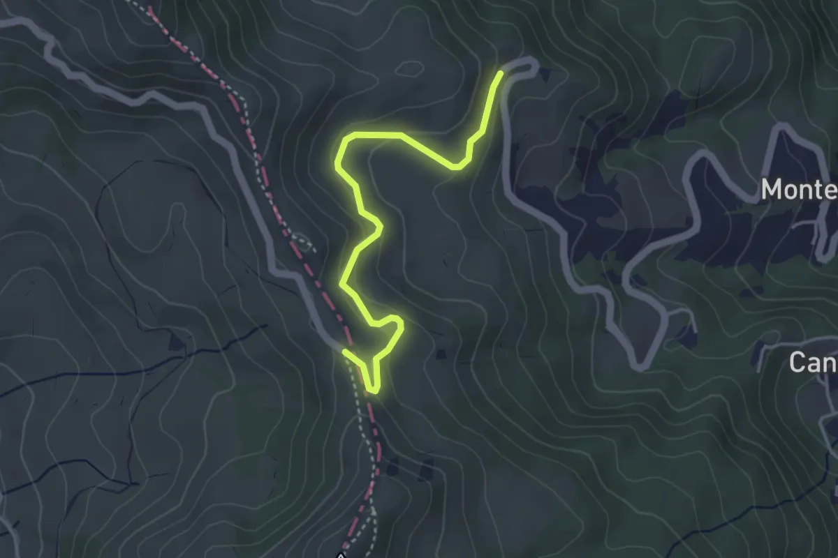
Easy · Trail
Percorso Comunità Montana Val di Taro
3.8 km · ↑ 151 m · 1 h 13 min
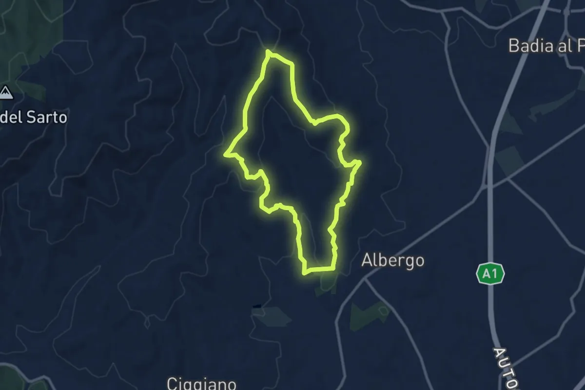
Medium · Trail
Percorso CORBEZZOLI
8.6 km · ↑ 239 m · 2 h 41 min
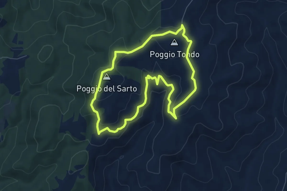
Easy · Summit
Percorso CORNIA
6.4 km · ↑ 184 m · 2 h
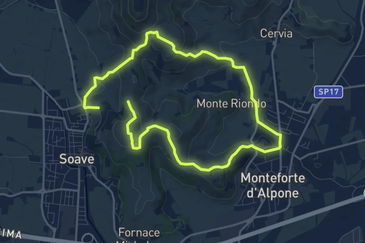
Medium · Trail
Percorso dei 10 Capitelli
8.6 km · ↑ 229 m · 2 h 41 min
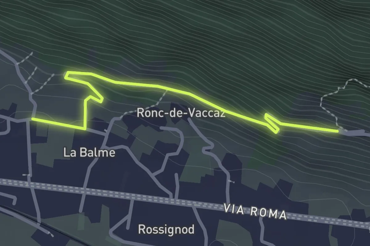
Easy · Trail
Percorso dei Barmet
2.6 km · ↑ 115 m · 52 min
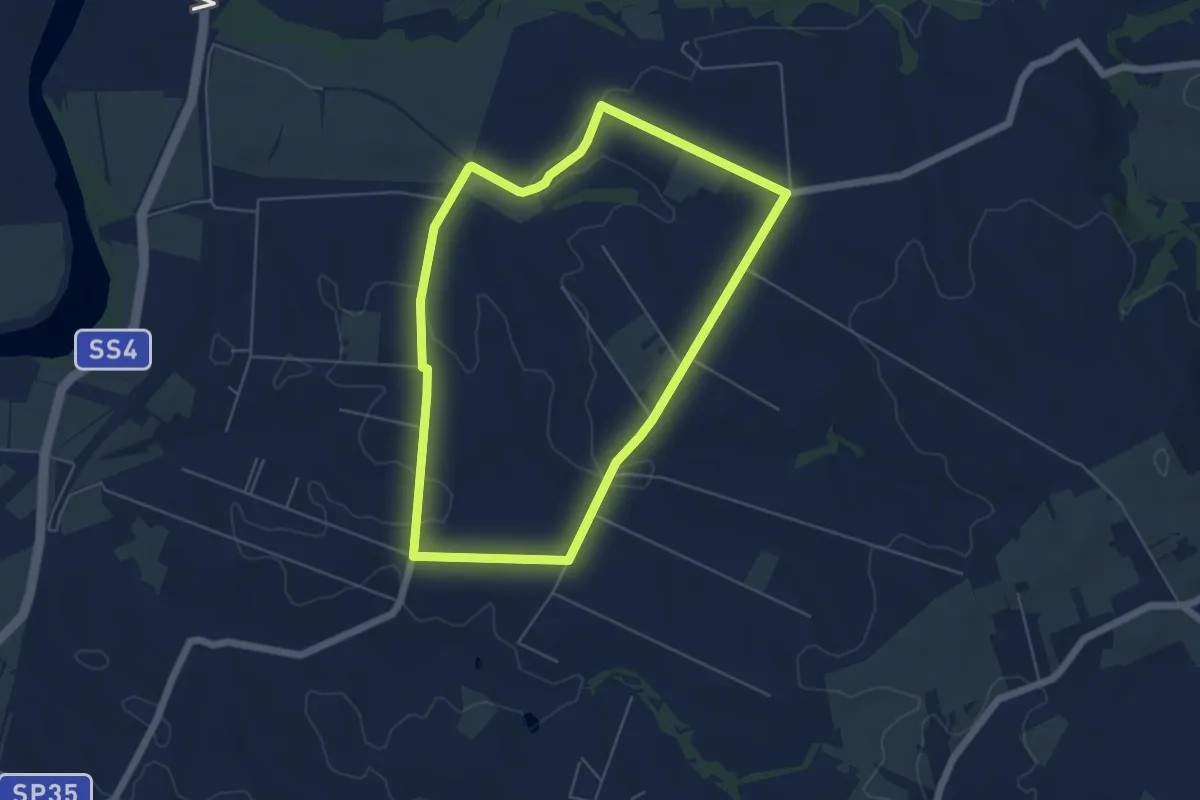
Easy · Trail
Percorso dei Cavalli Bianchi
5.8 km · ↑ 61 m · 1 h 35 min
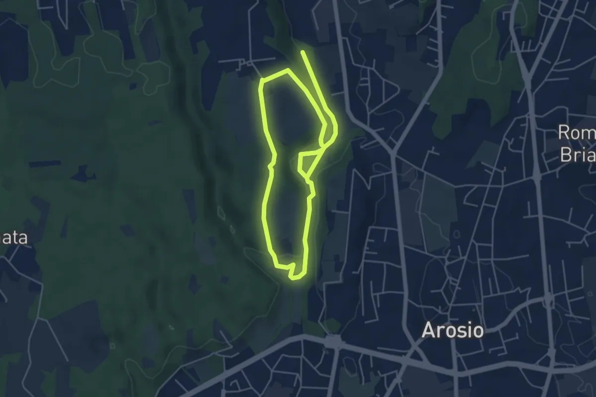
Medium · Trail
Percorso dei fontanili
8.2 km · ↑ 156 m · 2 h 17 min
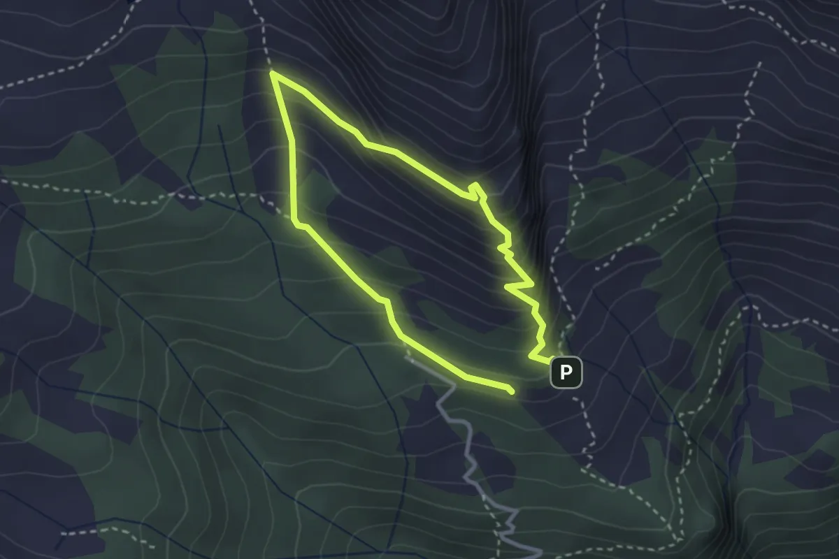
Medium · Trail
Percorso dei Fortini
2.3 km · ↑ 241 m · 1 h 7 min
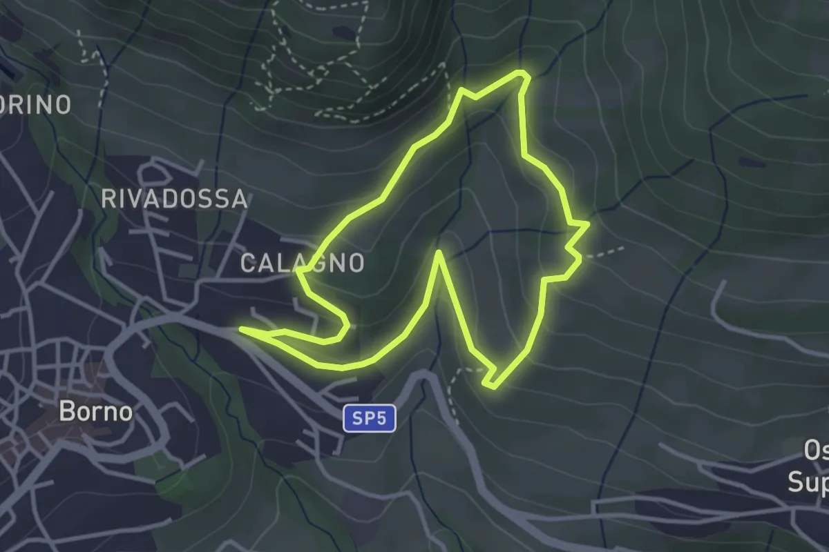
Easy · Trail
Percorso dei frutti di bosco
3.1 km · ↑ 181 m · 1 h 10 min
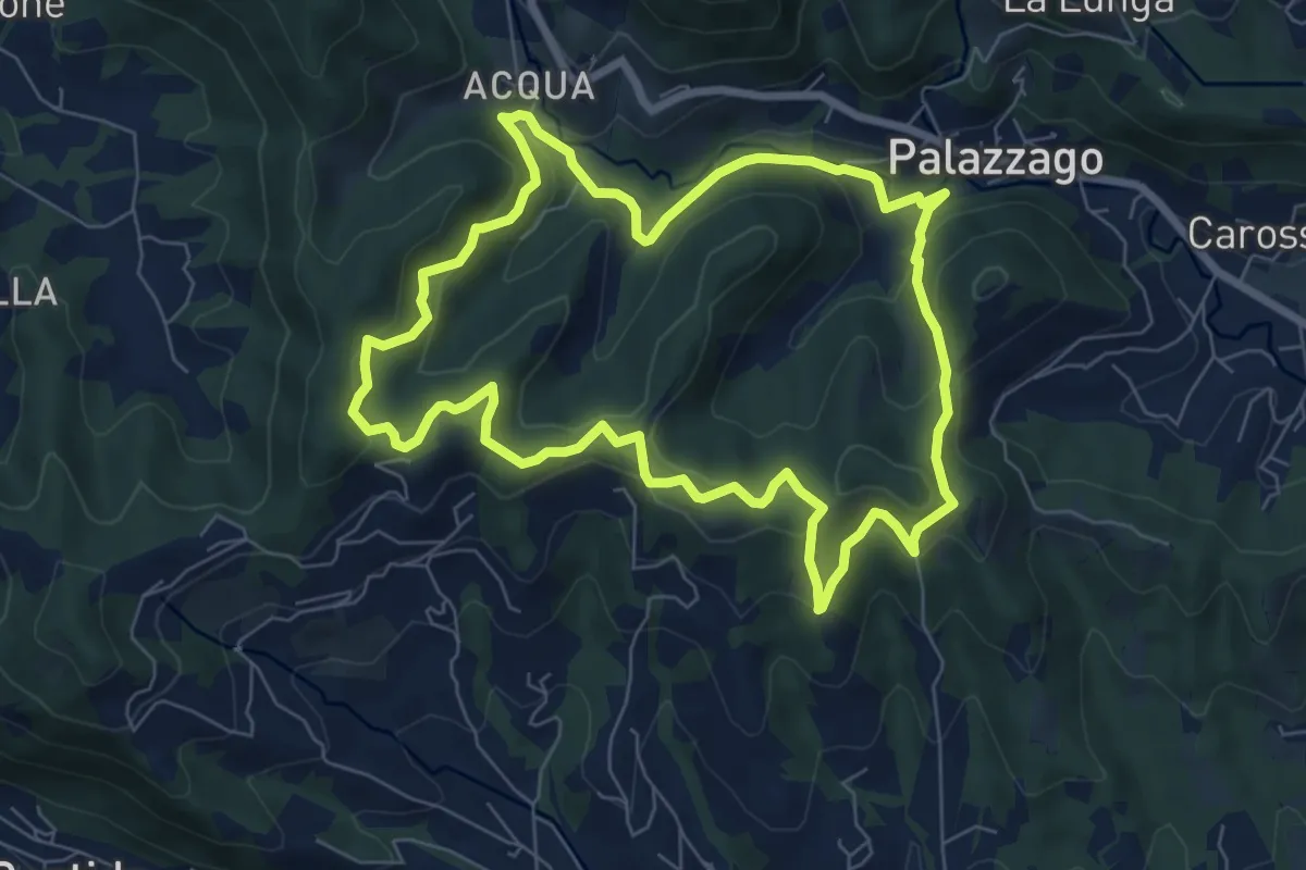
Medium · Summit
Percorso dei Pradéi
7.3 km · ↑ 344 m · 2 h 34 min
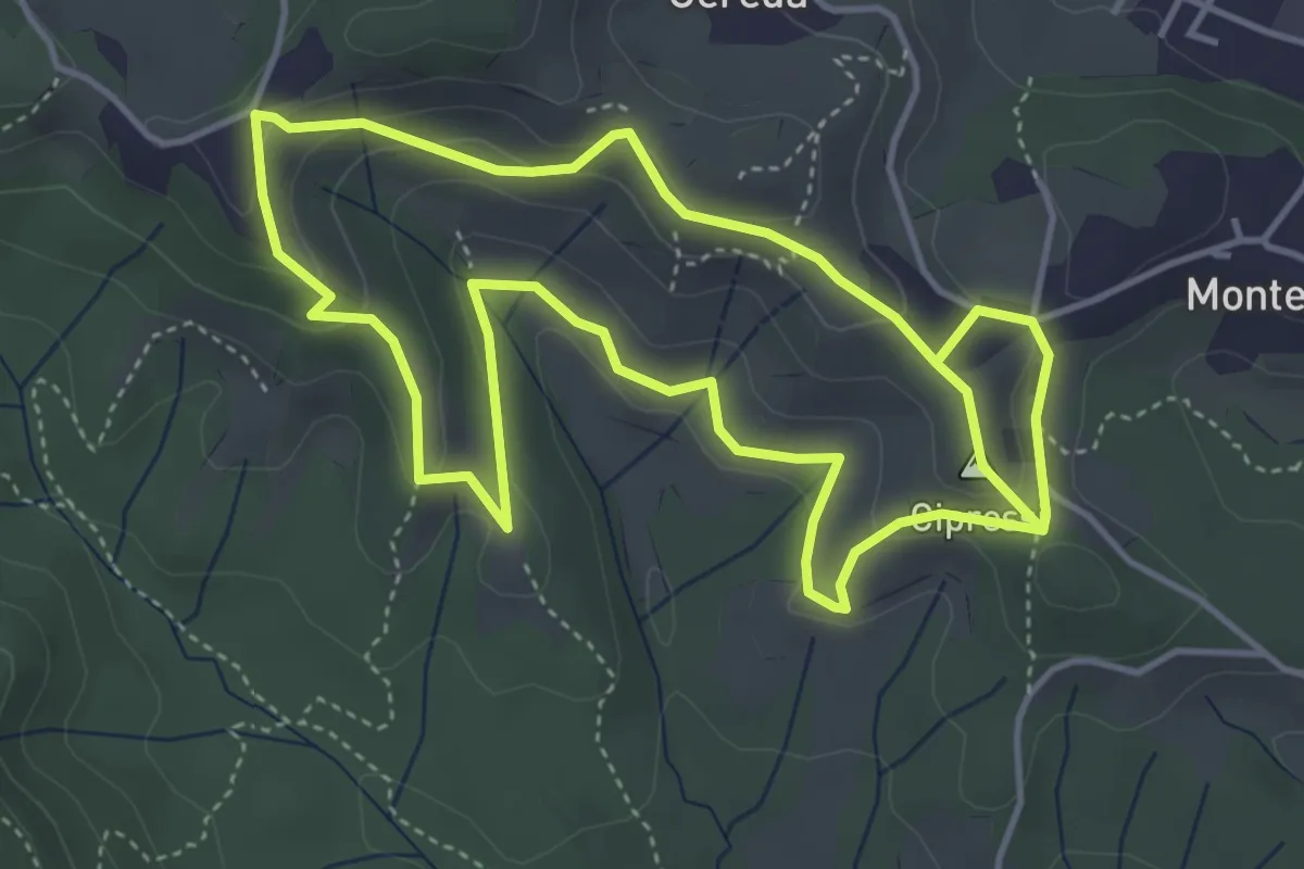
Easy · Summit
Percorso dei prati magri
4.5 km · ↑ 154 m · 1 h 28 min
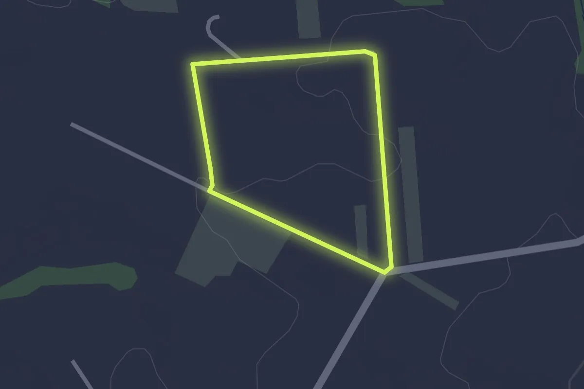
Easy · Trail
Percorso dei Salici
1.8 km · ↑ 23 m · 30 min
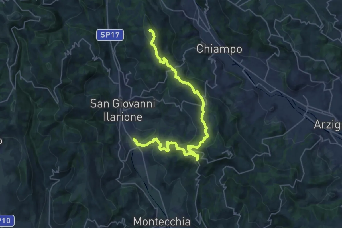
Demanding · Summit
Percorso dei sette vulcani tappa 1
23.1 km · ↑ 942 m · 7 h 30 min
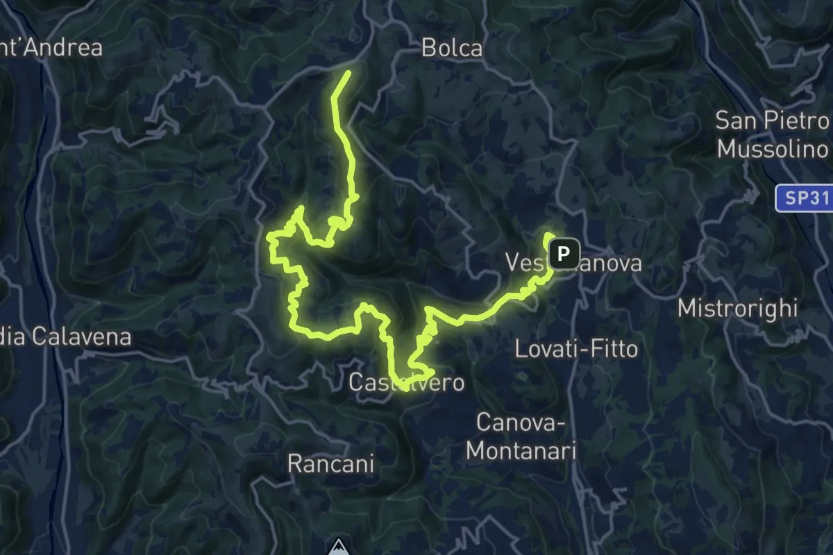
Demanding · Summit
Percorso dei sette vulcani tappa 2
25.0 km · ↑ 1222 m · 8 h 33 min
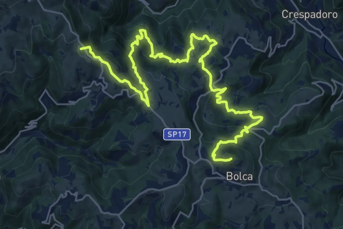
Demanding · Summit
Percorso dei sette vulcani tappa 3
21.2 km · ↑ 1175 m · 7 h 34 min
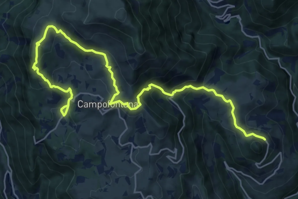
Demanding · Trail
Percorso dei sette vulcani tappa 4
18.5 km · ↑ 1060 m · 6 h 40 min
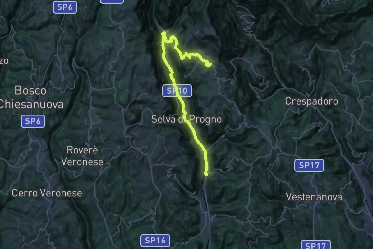
Demanding · Trail
Percorso dei sette vulcani tappa 5
14.2 km · ↑ 962 m · 5 h 16 min
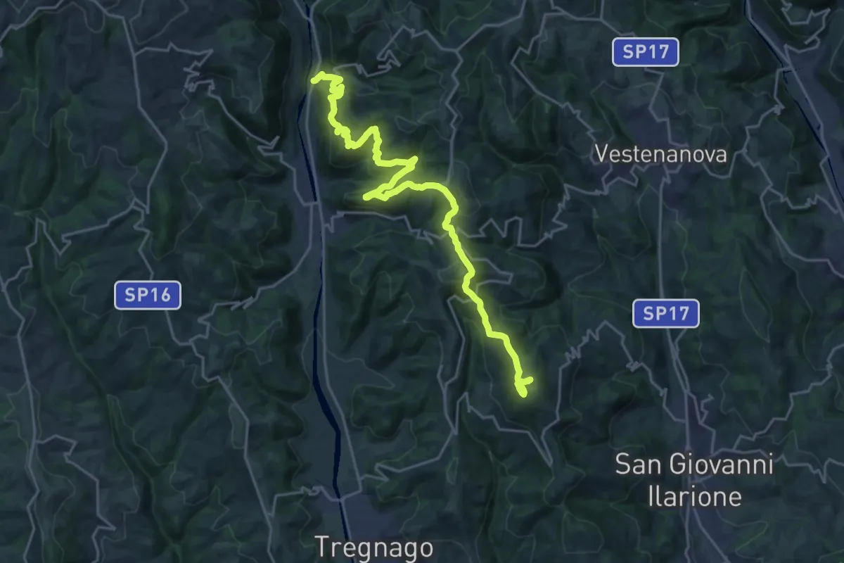
Demanding · Summit
Percorso dei sette vulcani tappa 6
23.6 km · ↑ 1279 m · 8 h 21 min