Trails in Italy
25,211 hiking trails, each with its route, climb, walking time and grade.
All trails, page 14 of 526
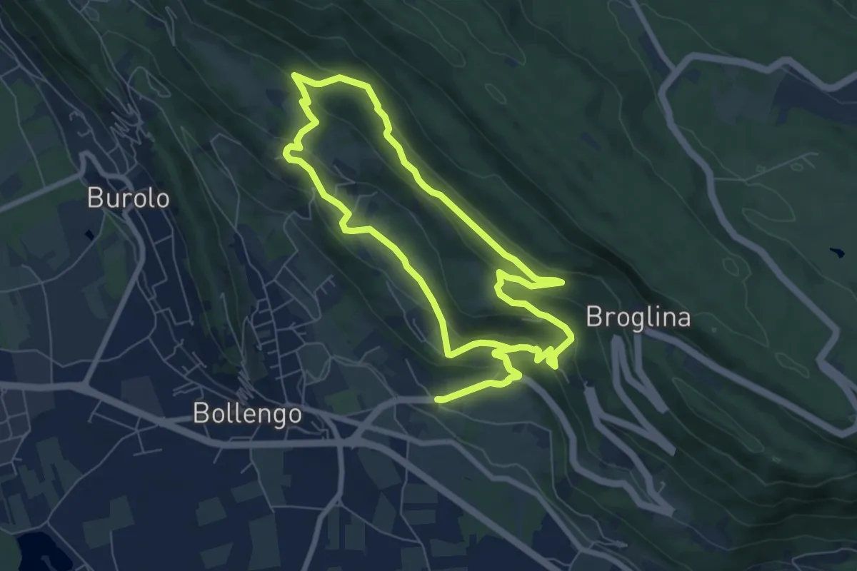
Easy · Trail
Anello della Serra
7.5 km · ↑ 312 m · 2 h 33 min
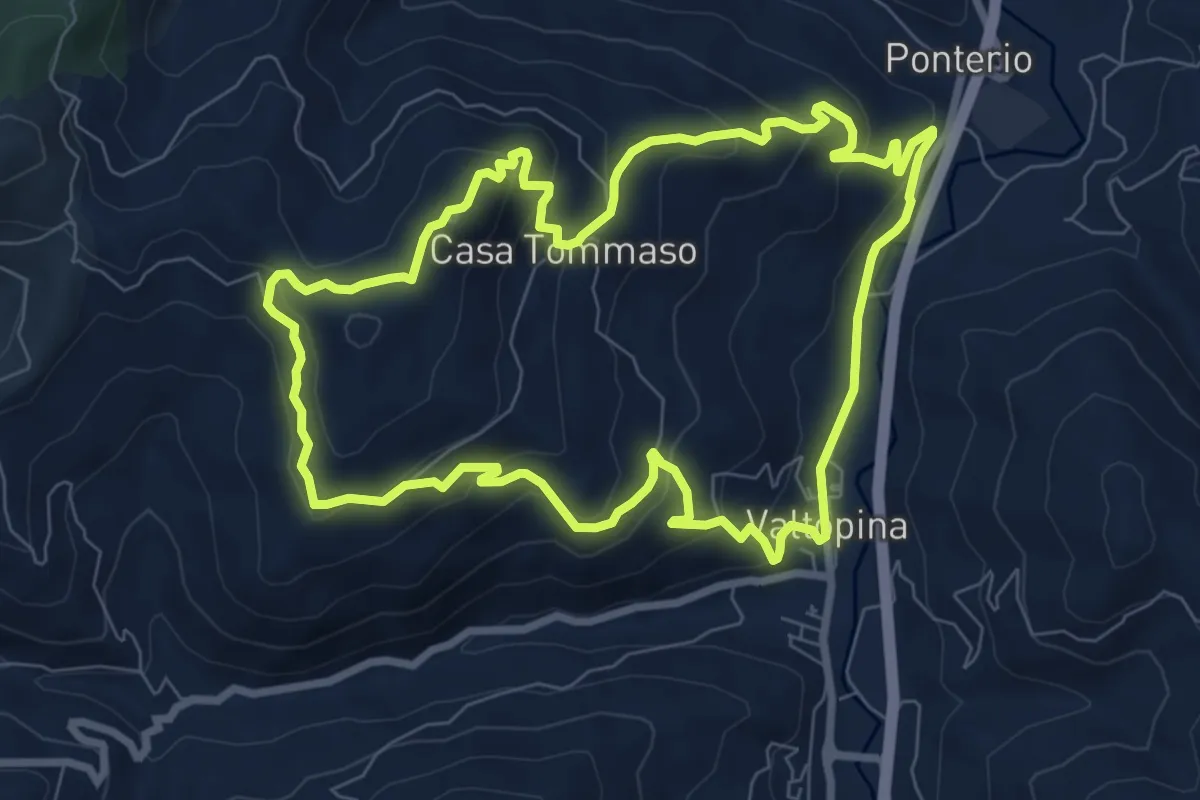
Medium · Trail
Anello della Serra di Valtopina
8.6 km · ↑ 453 m · 3 h 7 min
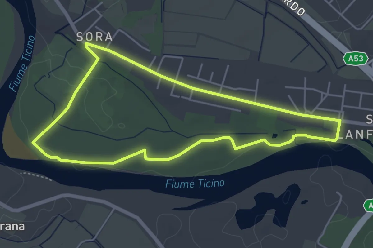
Easy · Trail
Anello della Sora
4.3 km · ↑ 32 m · 1 h 8 min
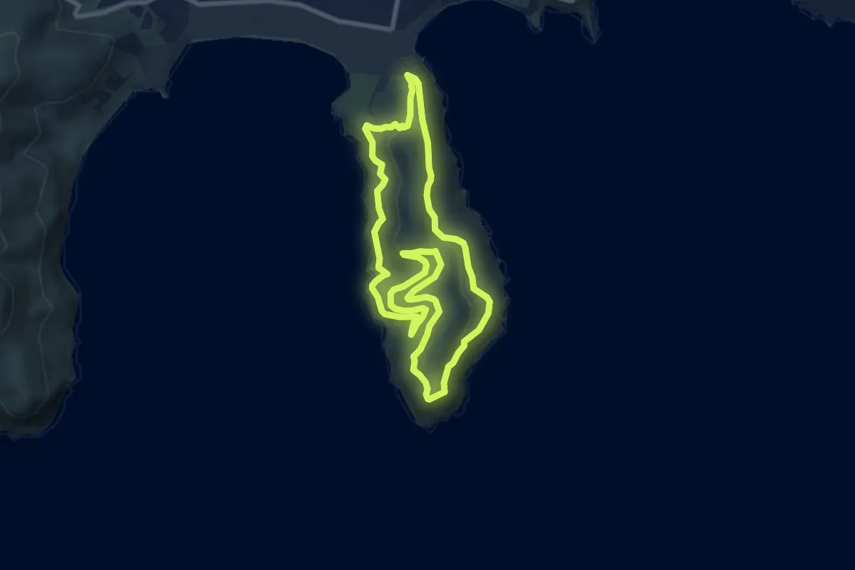
Medium · Summit
Anello della Stella
7.8 km · ↑ 442 m · 2 h 54 min
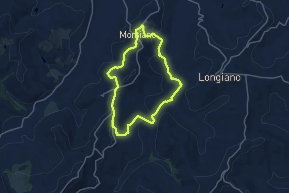
Easy · Trail
Anello della Terra
7.7 km · ↑ 216 m · 2 h 23 min
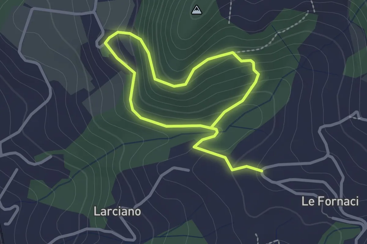
Easy · Trail
Anello della Torre di Melagrana
3.8 km · ↑ 188 m · 1 h 19 min
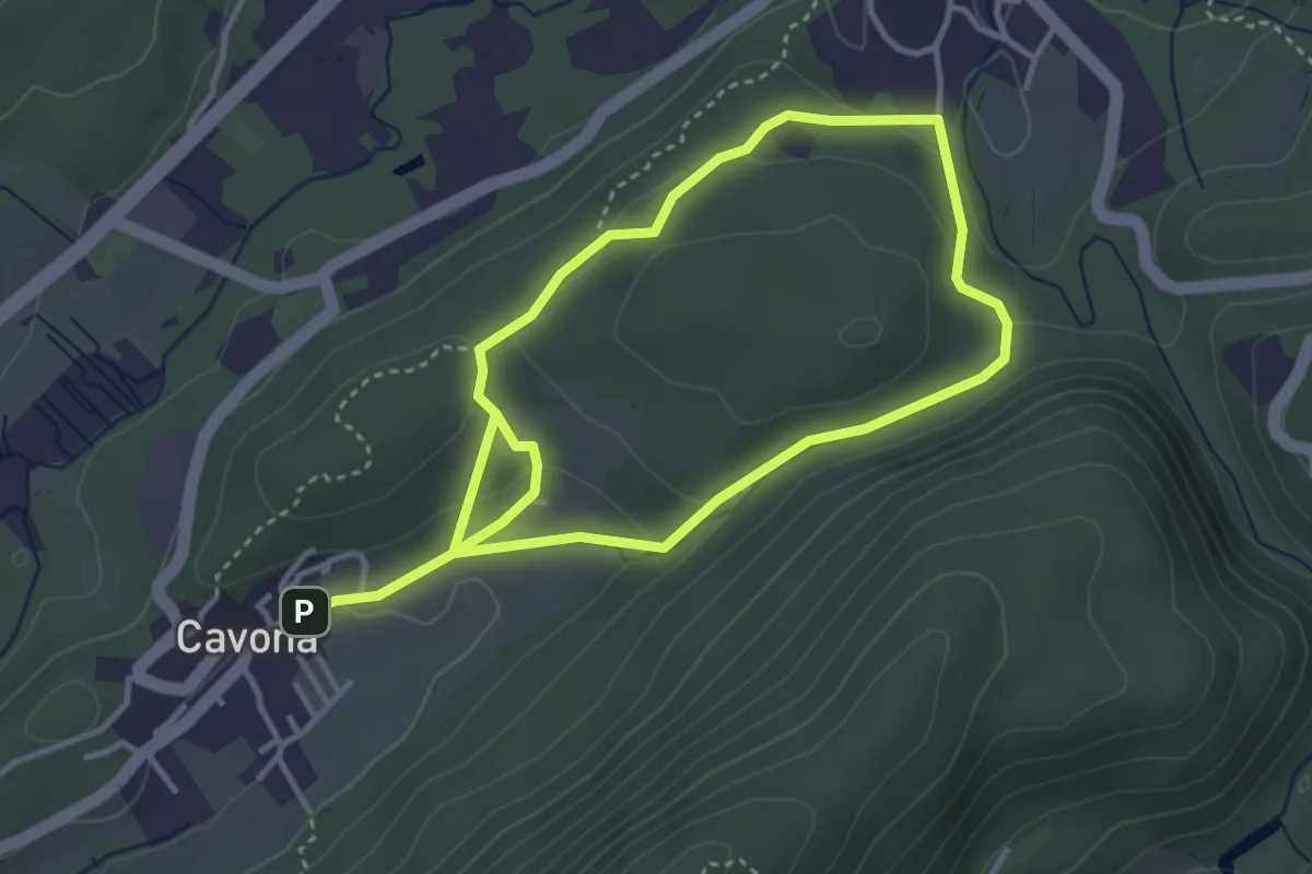
Demanding · Trail
Anello della Valcanasca
6.5 km · ↑ 223 m · 2 h 1 min
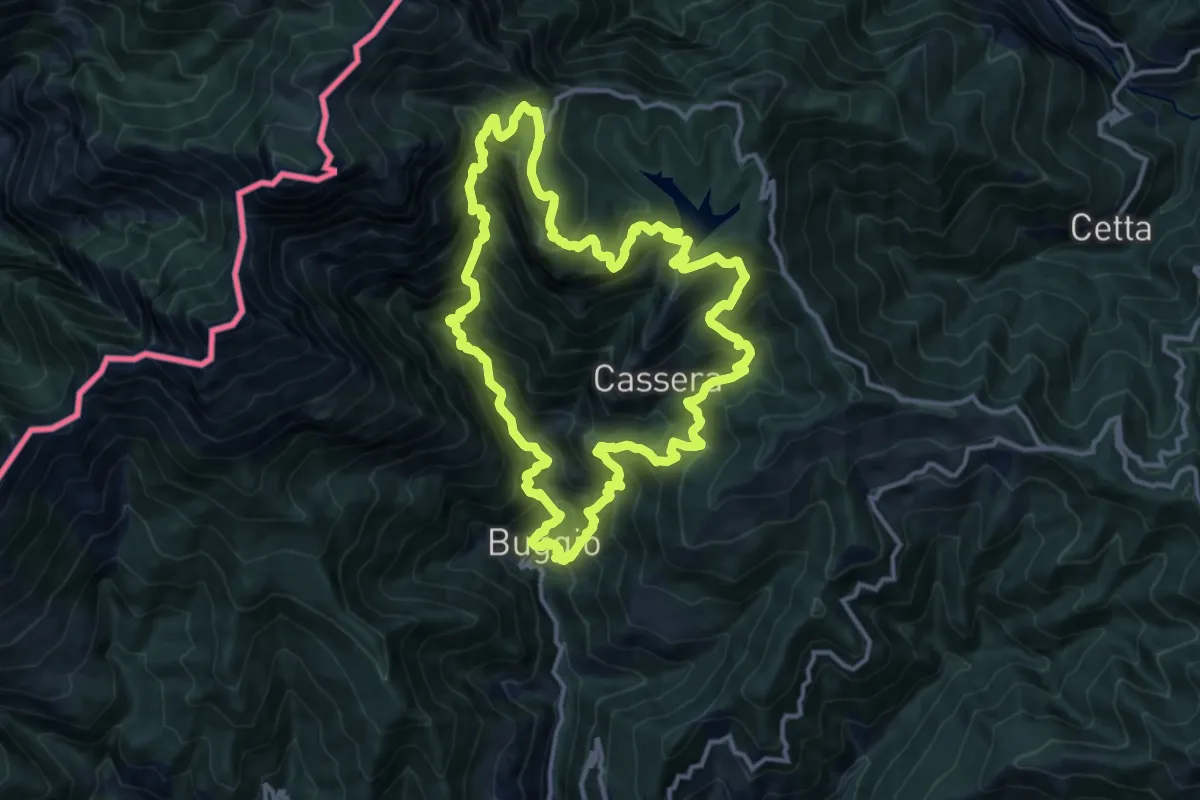
Demanding · Summit
Anello della Valle delle Tane
13.9 km · ↑ 1532 m · 6 h 48 min
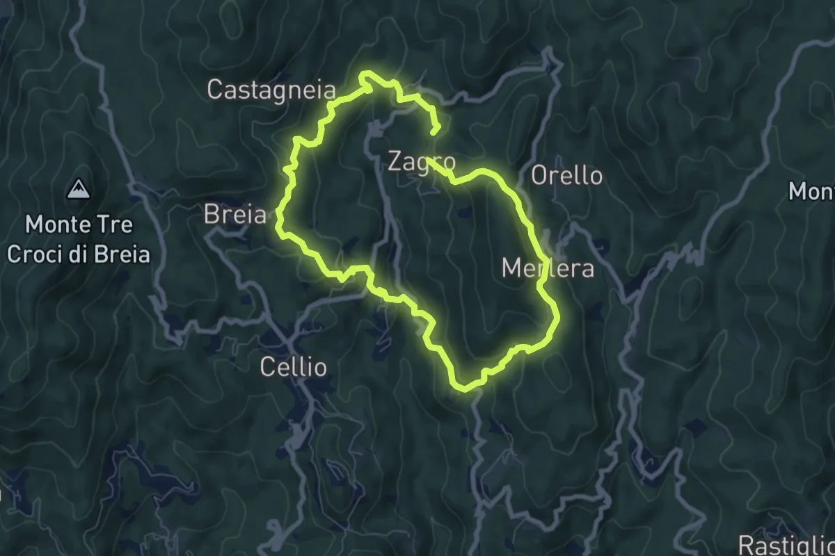
Medium · Trail
Anello della Valle di Cellio
6.6 km · ↑ 371 m · 2 h 27 min
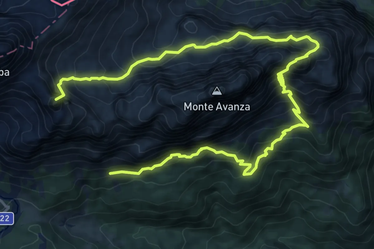
Expert · Summit
Anello dell'Avanza
15.2 km · ↑ 1948 m · 7 h 49 min
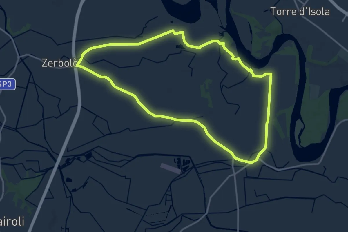
Medium · Trail
Anello della Venara
11.5 km · ↑ 14 m · 2 h 55 min
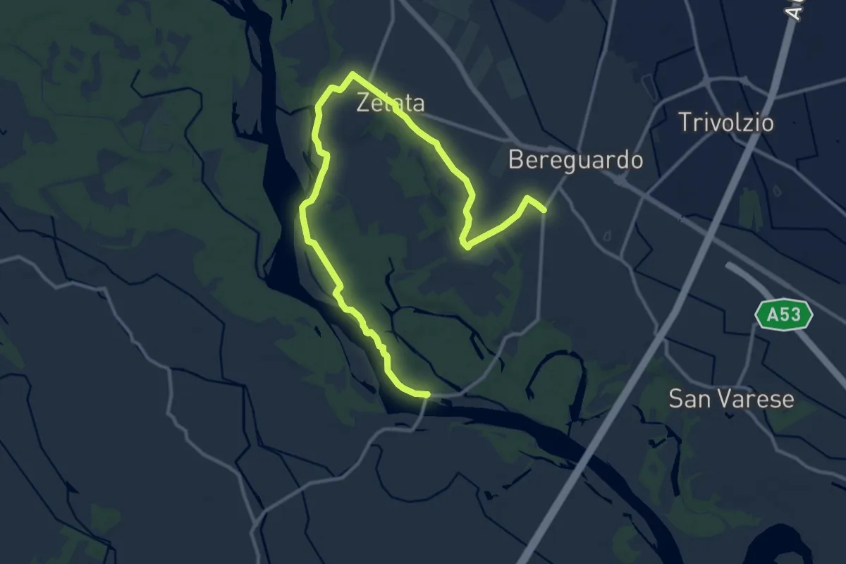
Medium · Trail
Anello della Zelata
15.5 km · ↑ 59 m · 3 h 48 min
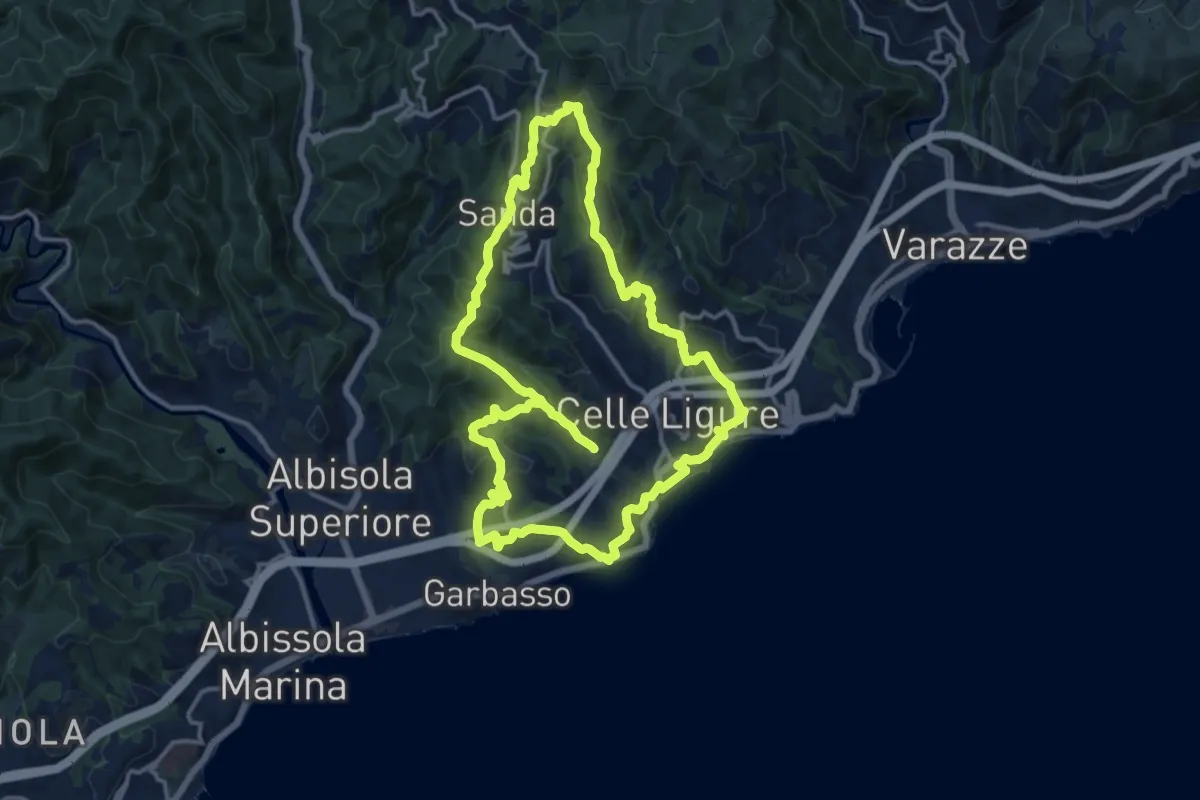
Medium · Summit
Anello delle 7 Chiese
14.1 km · ↑ 534 m · 4 h 40 min
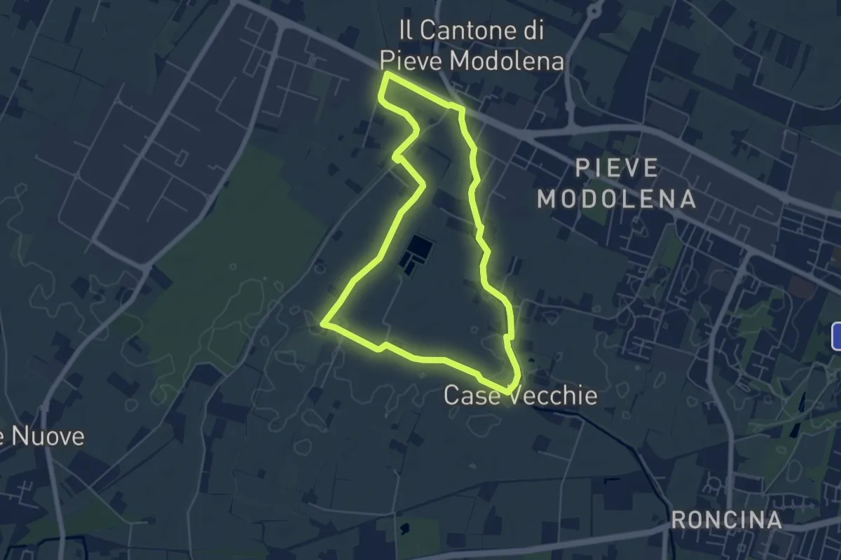
Easy · Trail
Anello delle Acque di Pieve Modolena
5.7 km · ↑ 4 m · 1 h 26 min
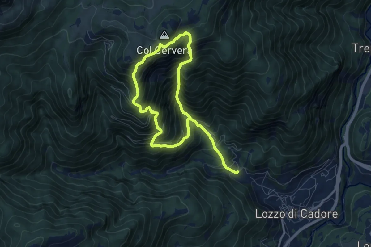
Demanding · Summit
Anello delle Aquile
5.9 km · ↑ 979 m · 3 h 28 min
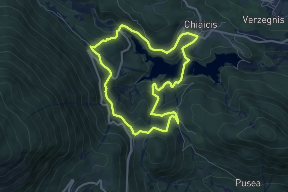
Easy · Trail
Anello delle Borgate
5.9 km · ↑ 303 m · 2 h 8 min
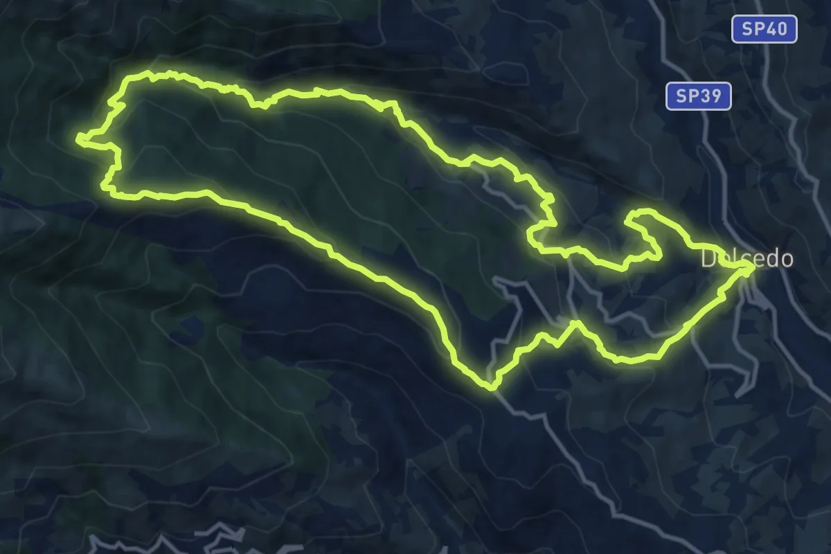
Demanding · Summit
Anello delle borgate di Dolcedo e del suo bosco comunale
14.7 km · ↑ 859 m · 5 h 32 min
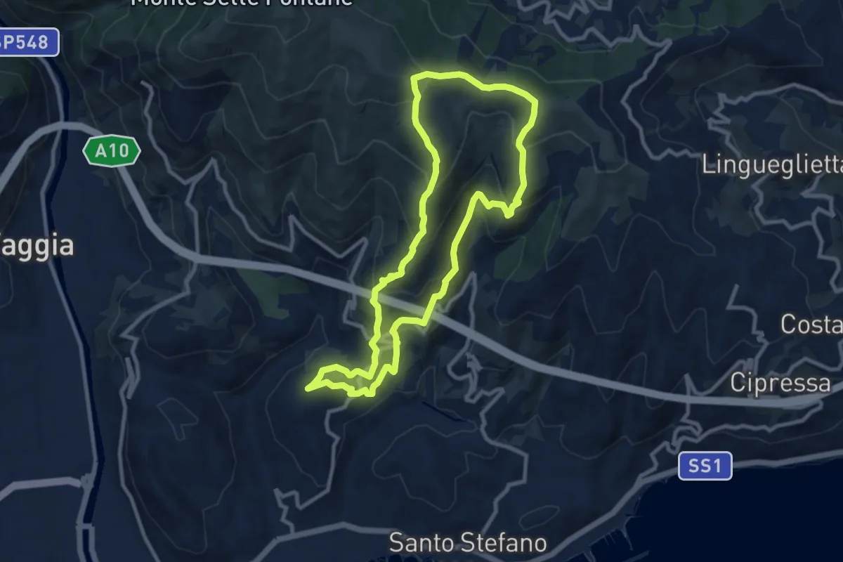
Medium · Summit
Anello delle borgate e del sito Natura 2000 di Pompeiana
9.0 km · ↑ 578 m · 3 h 30 min
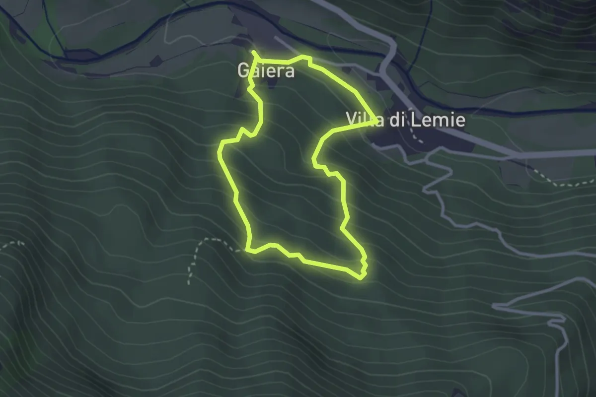
Easy · Trail
Anello delle cappelle
2.5 km · ↑ 204 m · 1 h 4 min
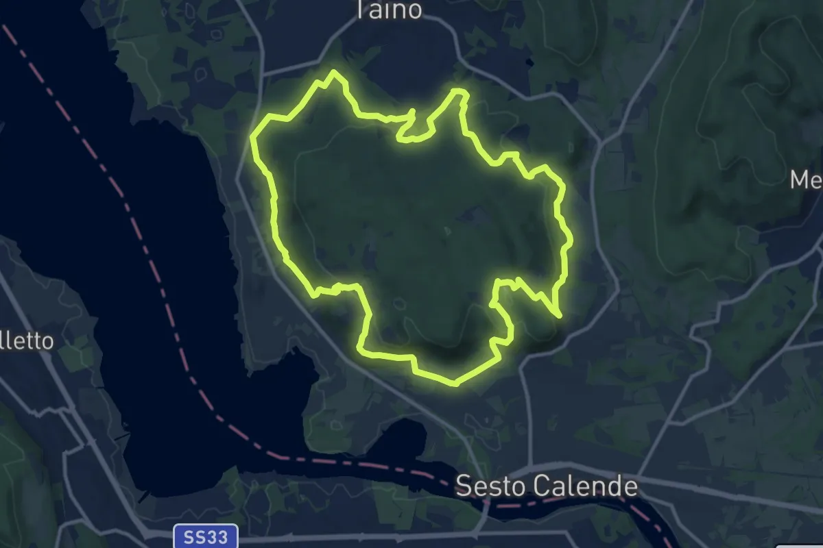
Medium · Trail
Anello delle castagne
12.7 km · ↑ 340 m · 3 h 55 min
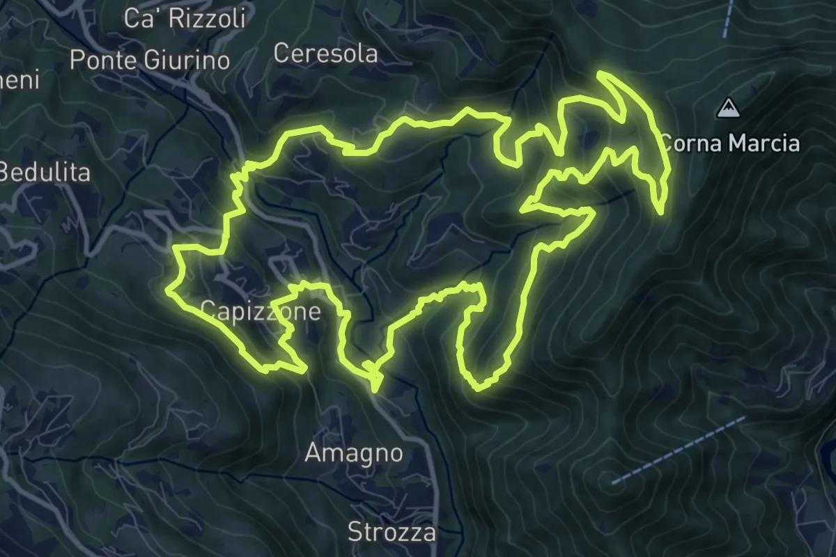
Demanding · Trail
Anello delle Contrade
14.2 km · ↑ 981 m · 5 h 41 min
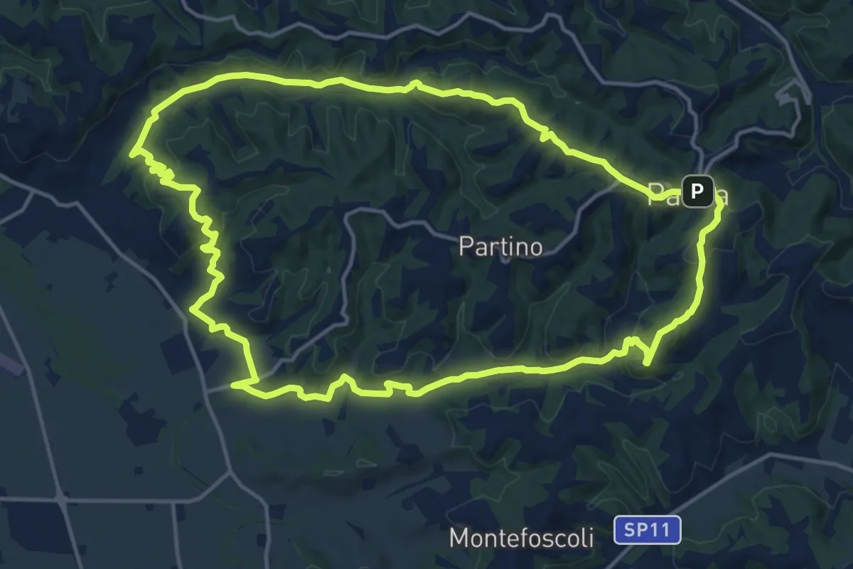
Medium · Trail
Anello delle due Tosole - Percorso 10
16.3 km · ↑ 371 m · 4 h 52 min
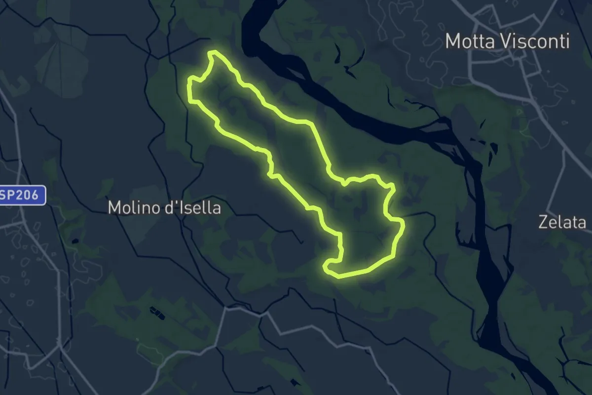
Medium · Trail
Anello delle farfalle
11.6 km · ↑ 30 m · 2 h 59 min
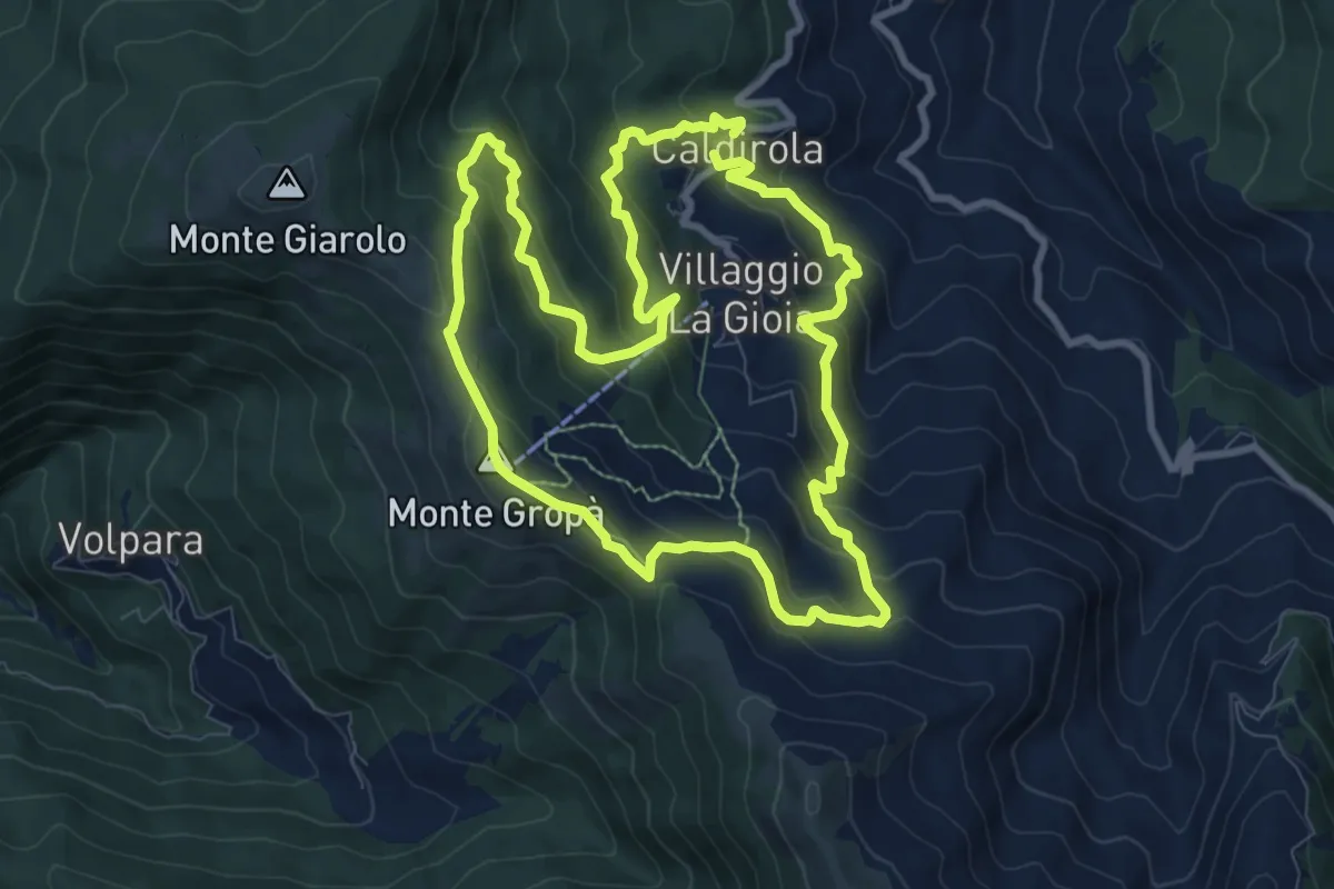
Medium · Summit
Anello delle fontane di Caldirola
9.2 km · ↑ 632 m · 3 h 40 min
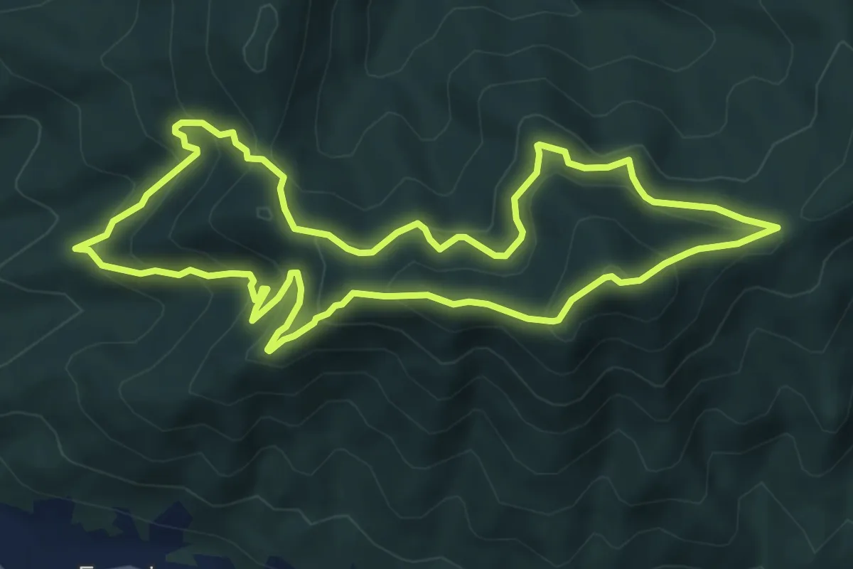
Medium · Summit
Anello delle Fonti della Bauda
6.8 km · ↑ 492 m · 2 h 46 min
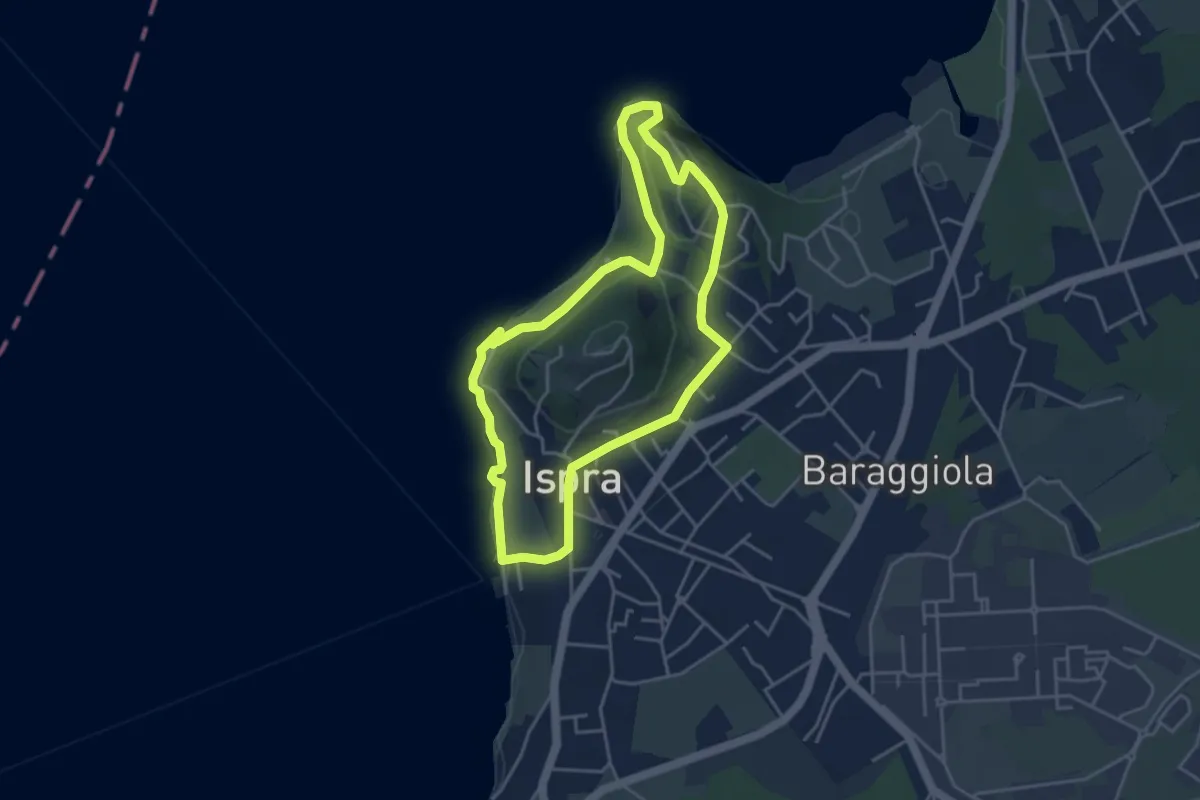
Easy · Summit
Anello delle fornaci
4.1 km · ↑ 137 m · 1 h 19 min
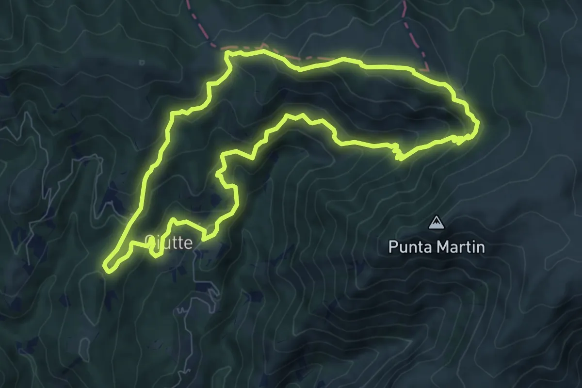
Medium · Trail
Anello delle Giutte
8.7 km · ↑ 497 m · 3 h 15 min
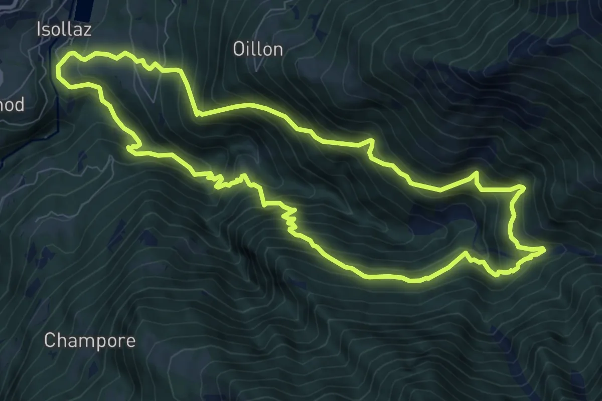
Demanding · Trail
Anello delle gole del torrente Roesaz
9.1 km · ↑ 957 m · 4 h 22 min
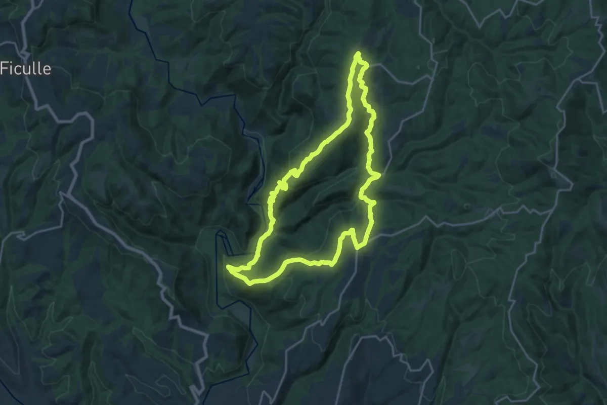
Medium · Trail
Anello dell'Elmo
17.2 km · ↑ 630 m · 5 h 39 min
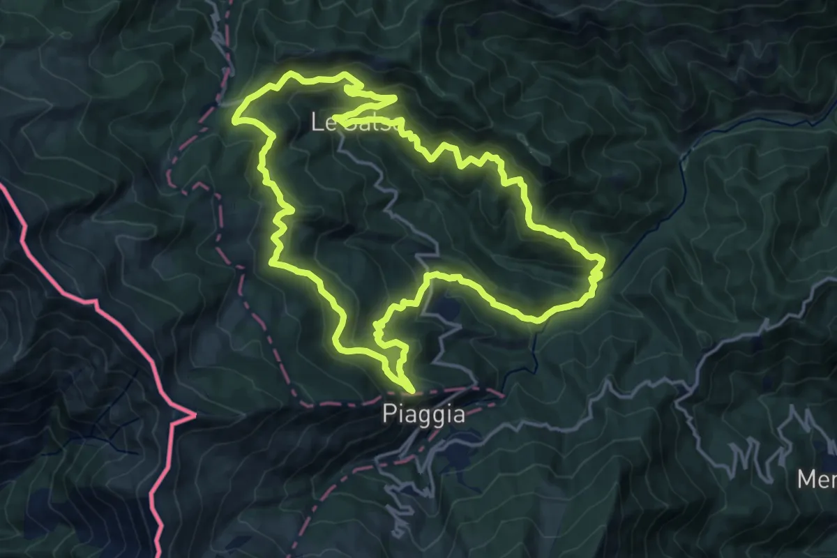
Demanding · Trail
Anello delle Malghe
16.6 km · ↑ 1015 m · 6 h 21 min
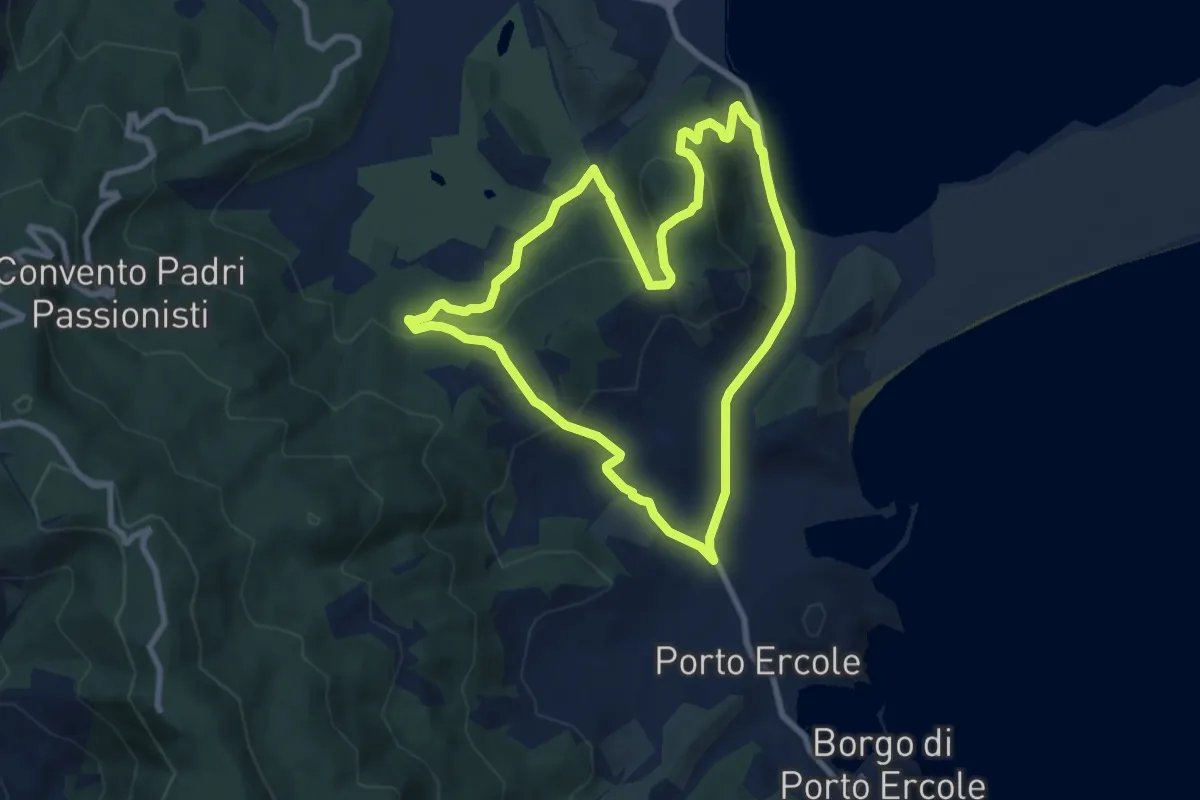
Medium · Summit
Anello delle miniere
8.8 km · ↑ 294 m · 2 h 50 min
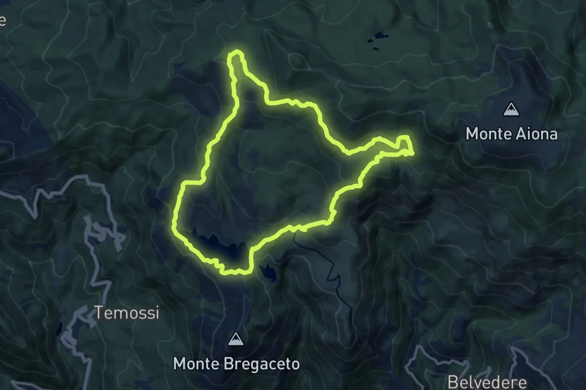
Medium · Summit
Anello delle Moglie
12.4 km · ↑ 509 m · 4 h 12 min
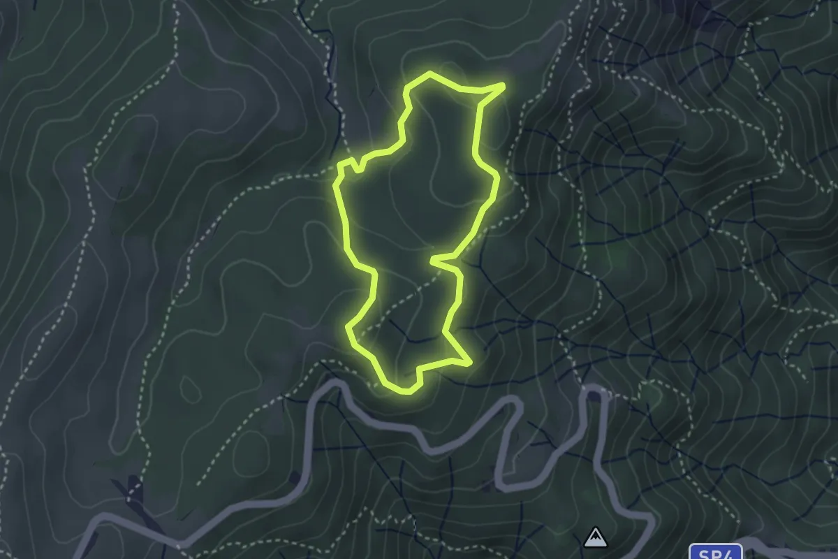
Medium · Summit
Anello delle Neviere
2.9 km · ↑ 127 m · 1 h
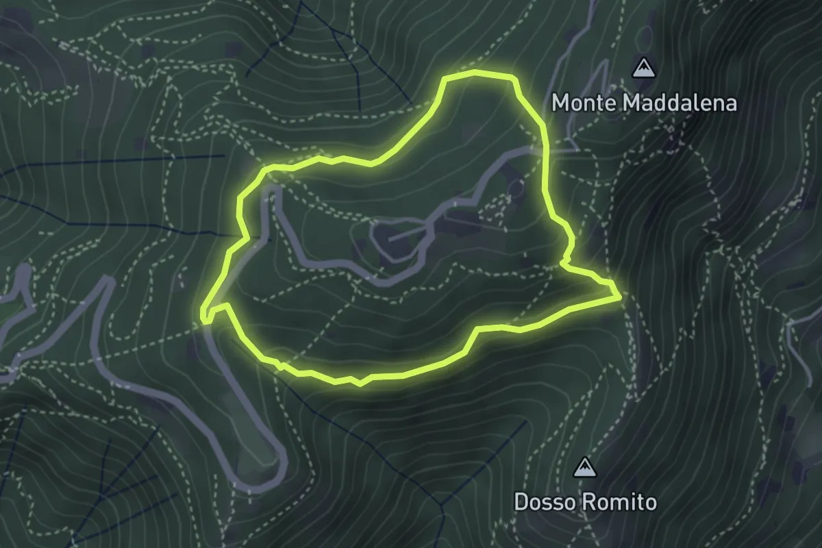
Demanding · Trail
Anello delle Pozze
3.4 km · ↑ 182 m · 1 h 15 min
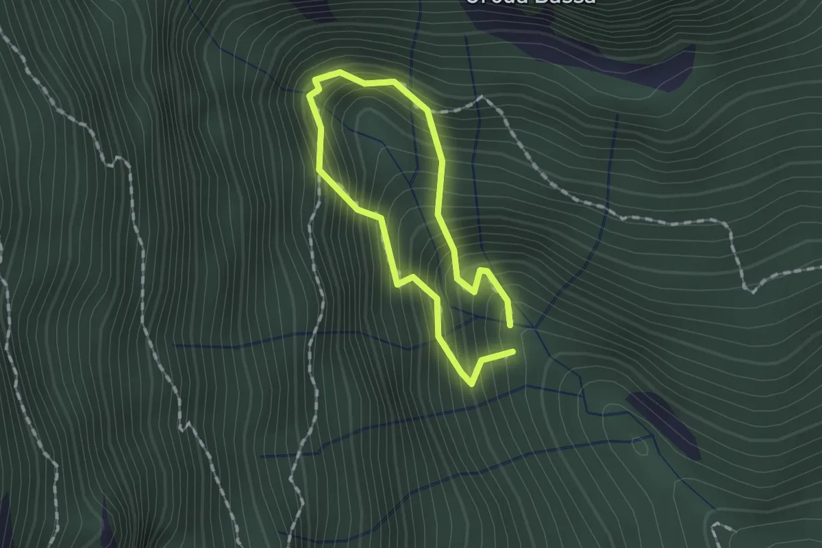
Demanding · Trail
Anello delle Sorgenti
1.0 km · ↑ 221 m · 44 min
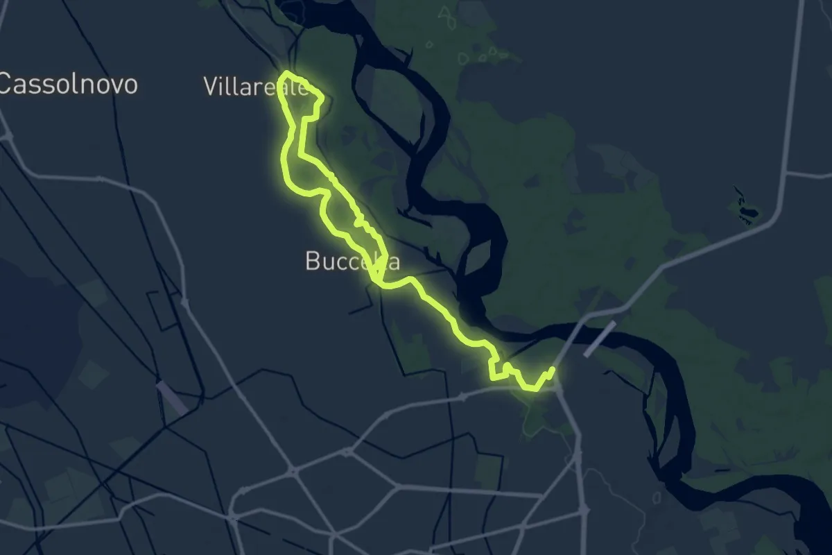
Medium · Trail
Anello delle Streghe
9.5 km · ↑ 48 m · 2 h 29 min
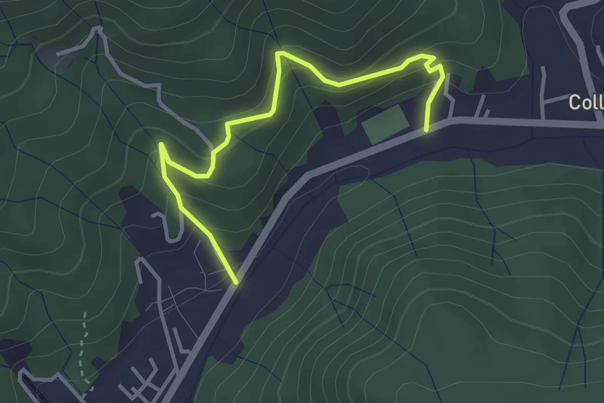
Easy · Trail
Anello delle Sughere
3.3 km · ↑ 271 m · 1 h 22 min
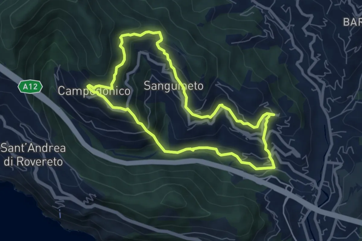
Medium · Trail
Anello delle Tre Frazioni
5.9 km · ↑ 419 m · 2 h 23 min
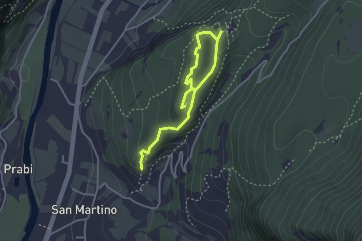
Easy · Trail
Anello delle Trincee
3.4 km · ↑ 246 m · 1 h 21 min
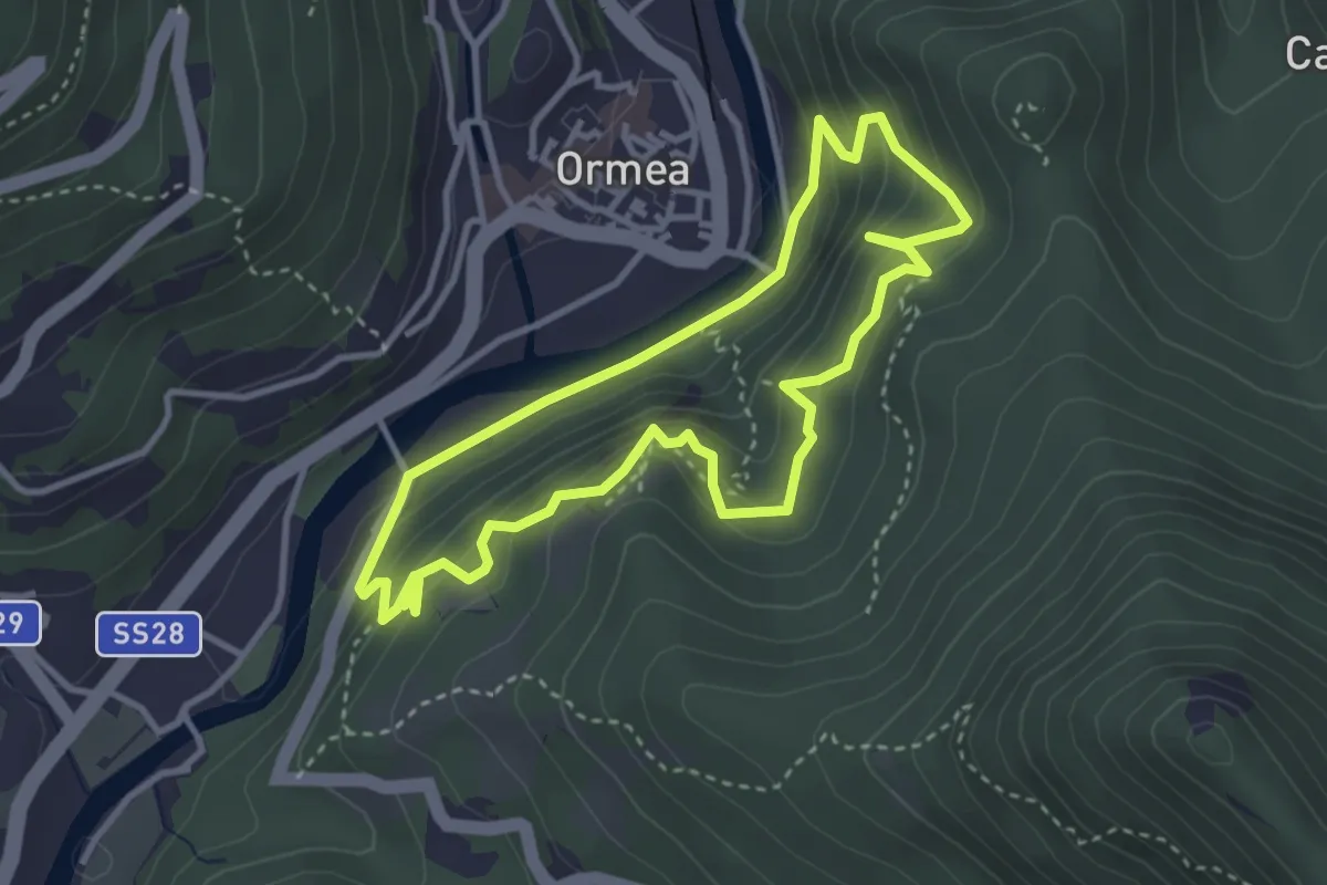
Medium · Trail
Anello delle Vallette
3.4 km · ↑ 267 m · 1 h 26 min
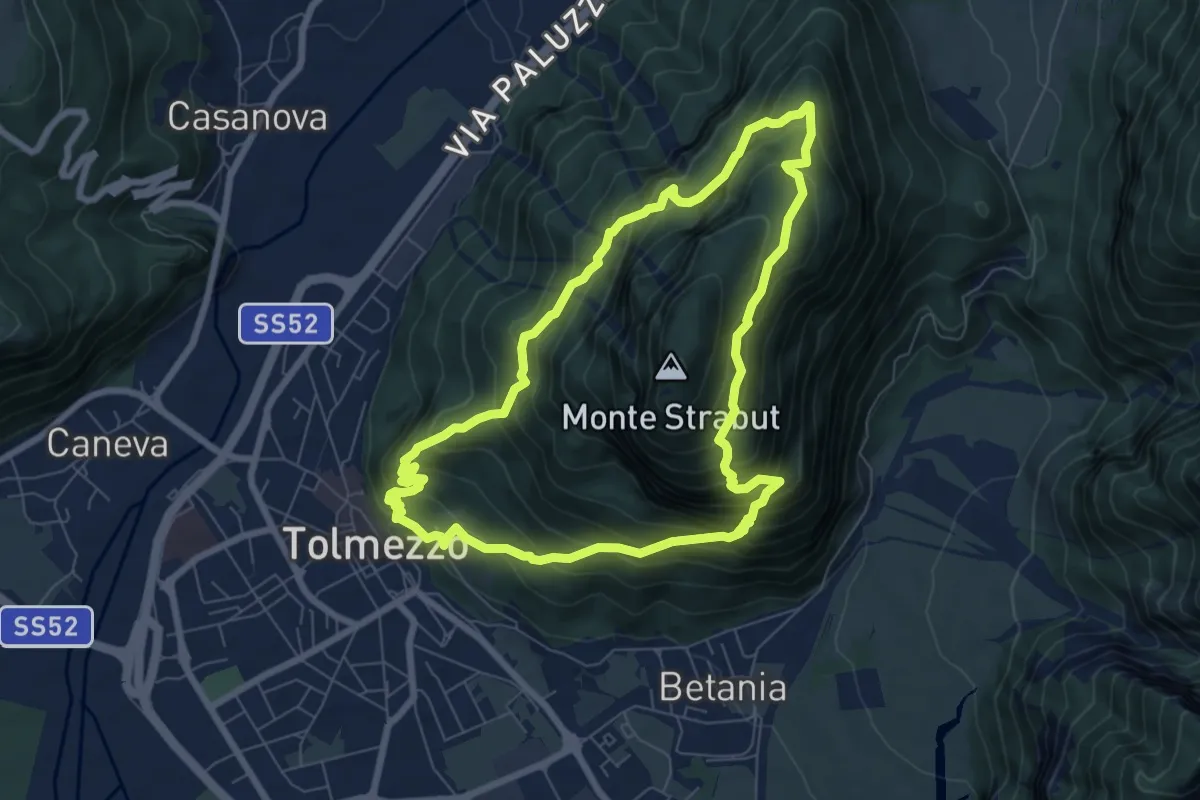
Medium · Summit
Anello dello Strabut
7.1 km · ↑ 751 m · 3 h 25 min
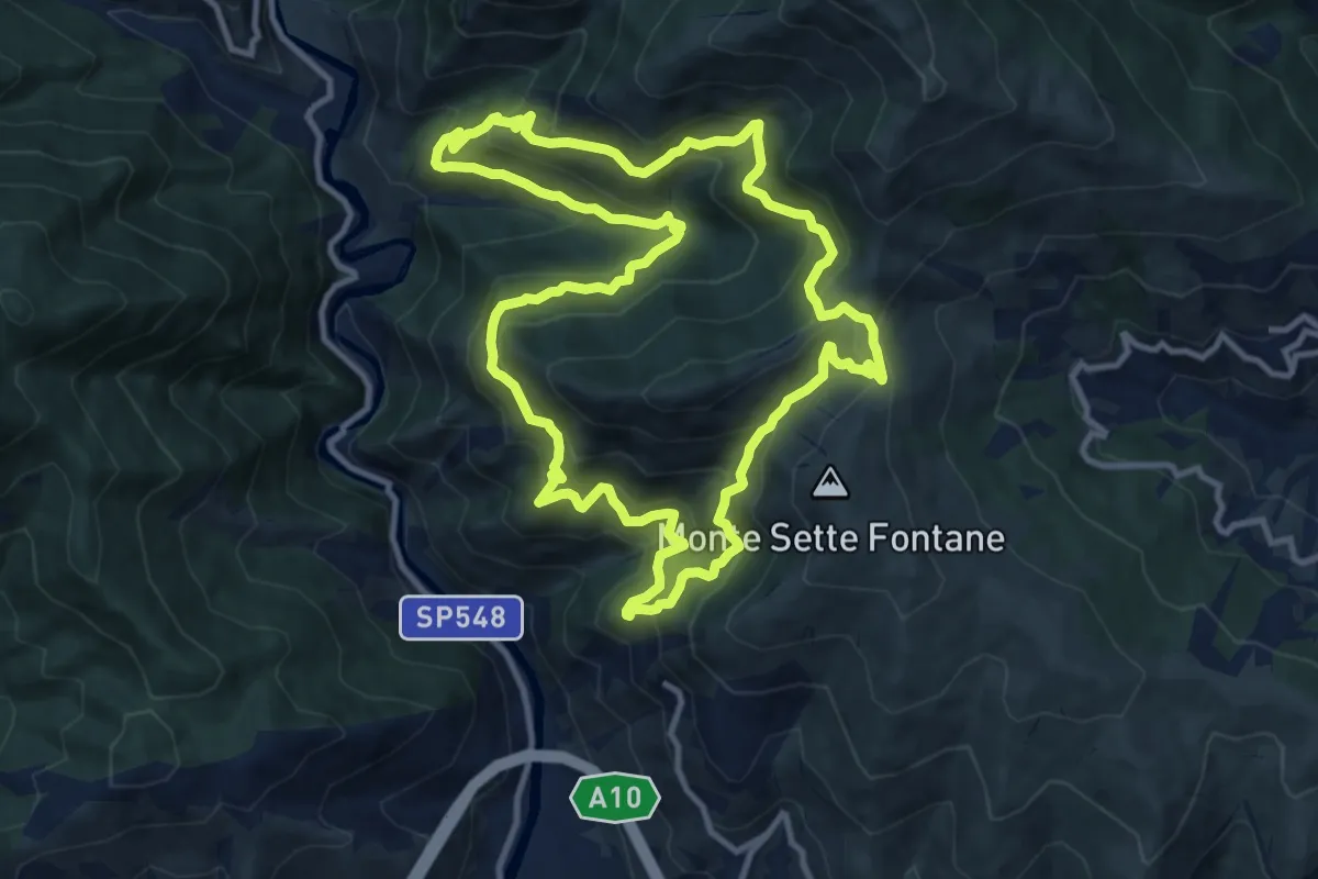
Demanding · Trail
Anello dell'Ubago di Castellaro
12.1 km · ↑ 918 m · 5 h 2 min
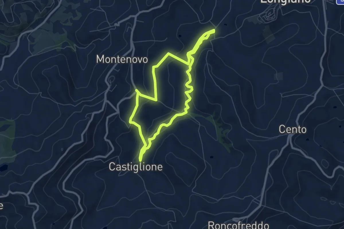
Easy · Trail
Anello del Lupo
6.5 km · ↑ 134 m · 1 h 55 min
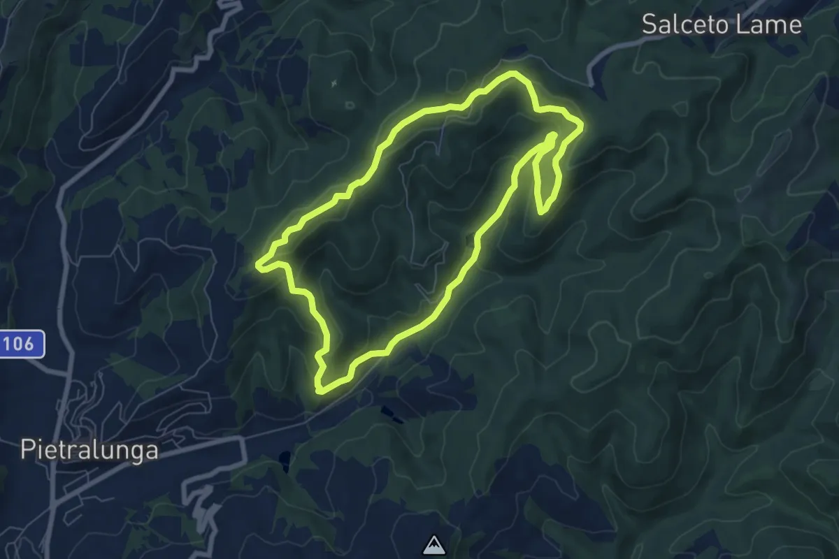
Easy · Trail
Anello del Lupo di Varrea
7.3 km · ↑ 308 m · 2 h 29 min
Easy · Trail
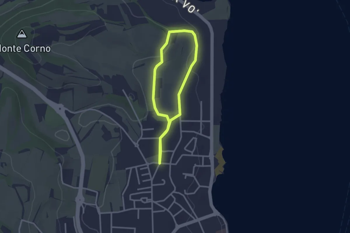
Anello del Madergnago
2.2 km · ↑ 21 m · 35 min
Medium · Summit
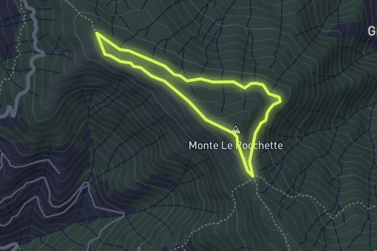
Anello del Massiccio San Giacomo
3.2 km · ↑ 99 m · 1 h 1 min
Easy · Trail
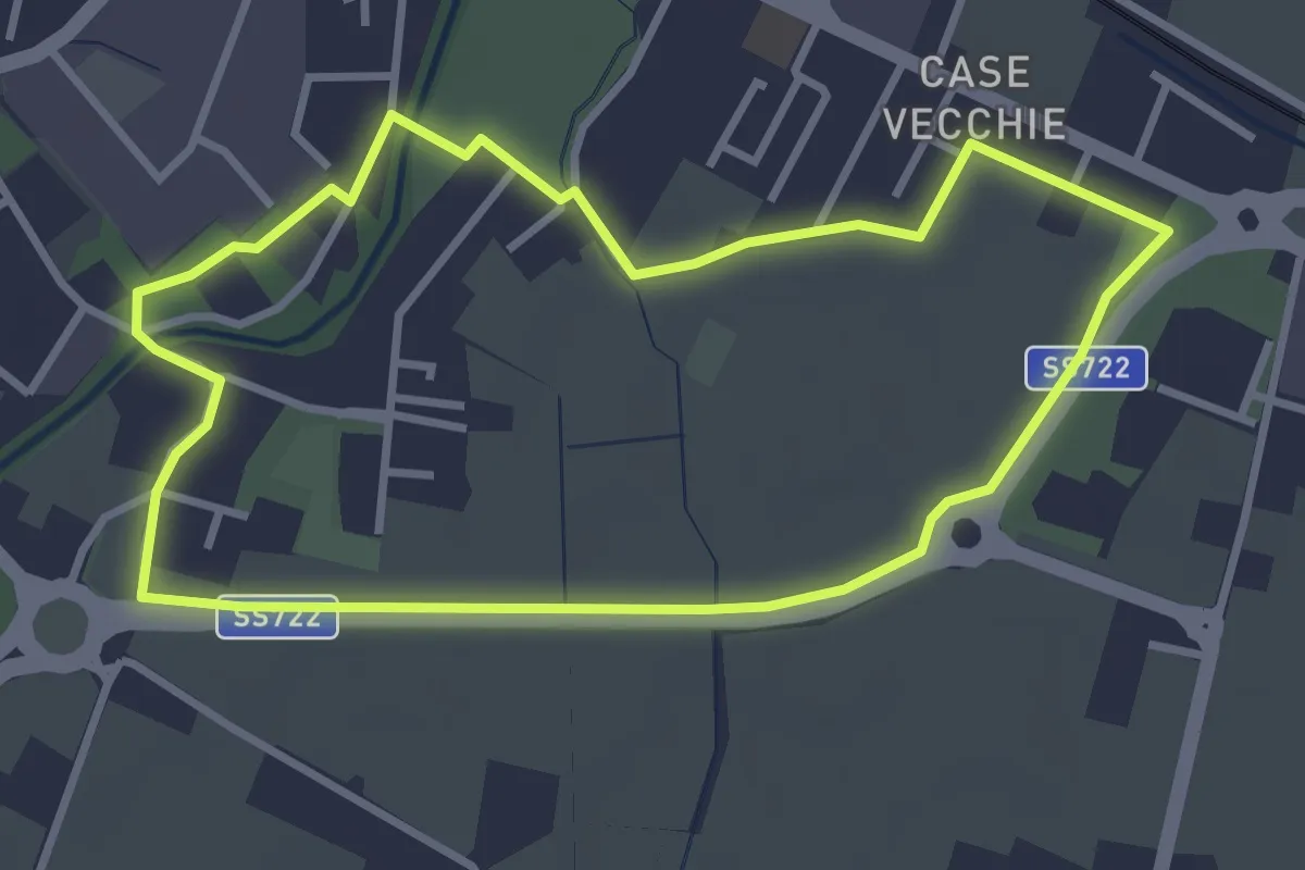
Anello del Mauriziano
3.3 km · ↑ 0 m · 50 min
Medium · Summit
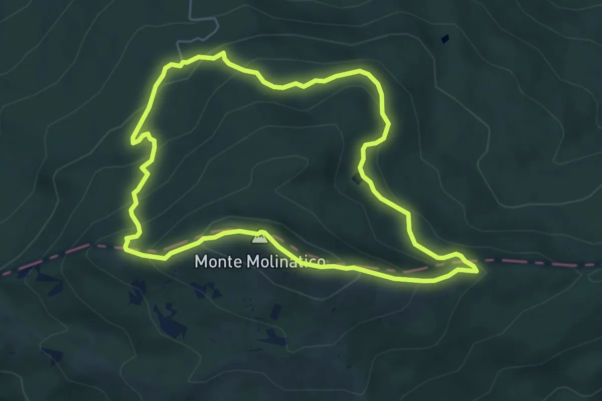
Anello del Molinatico
5.6 km · ↑ 327 m · 2 h 6 min