Trails in Italy
25,219 hiking trails, each with its route, climb, walking time and grade.
All trails, page 151 of 526
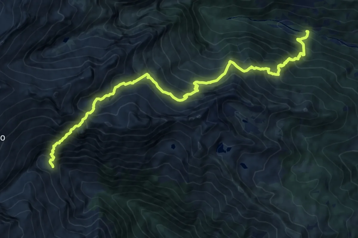
Demanding · Trail
Sentiero Bocca della Cunella
9.0 km · ↑ 668 m · 4 h 5 min
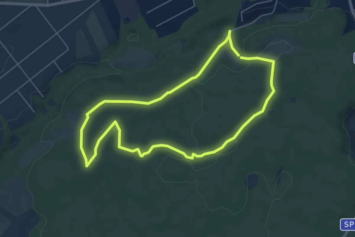
Easy · Trail
Sentiero Bologno
4.9 km · ↑ 62 m · 1 h 22 min
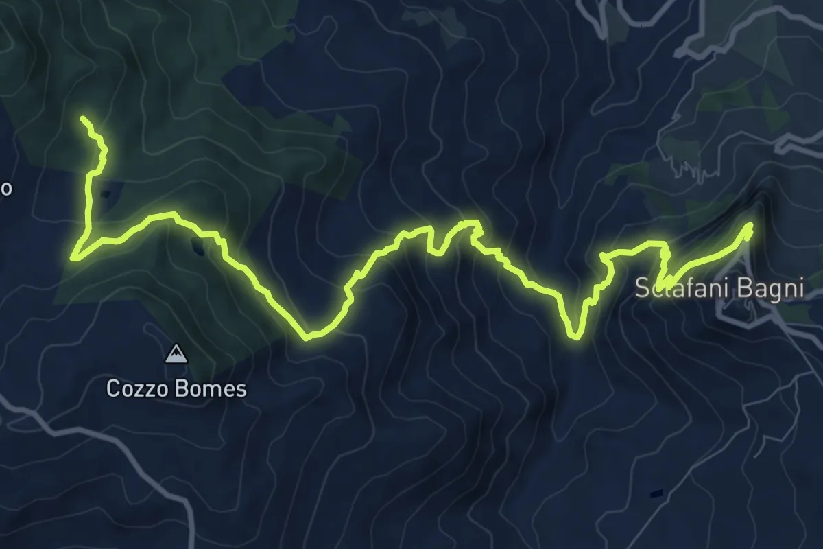
Demanding · Trail
Sentiero Bomes (Favara e Granza)
15.1 km · ↑ 1090 m · 5 h 56 min
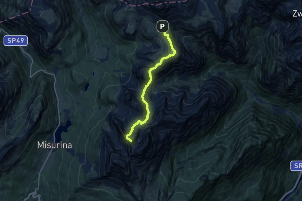
Expert · Summit
Sentiero Bonacossa
10.2 km · ↑ 1073 m · 4 h 45 min
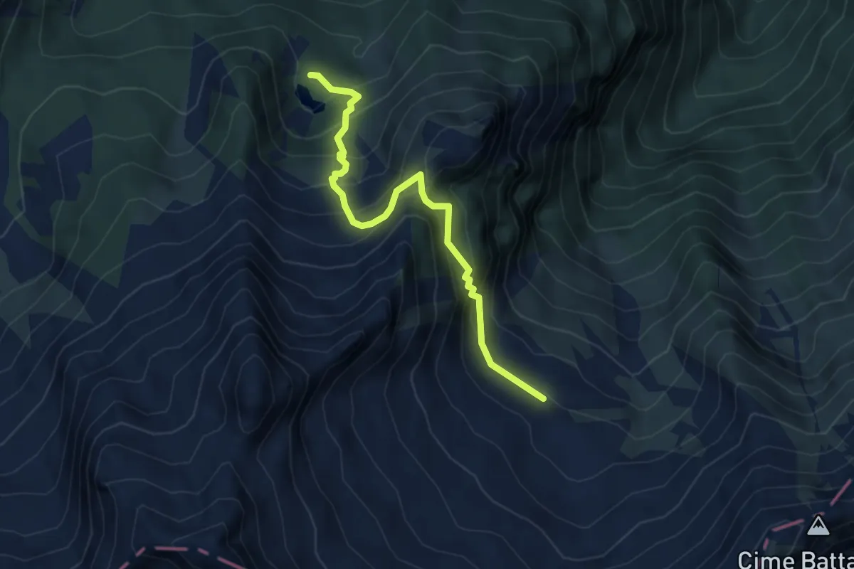
Medium · Cabin
Sentiero Bonze Liet
4.5 km · ↑ 487 m · 2 h 7 min
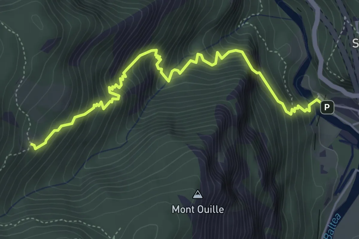
Medium · Trail
Sentiero Borgo di Montjovet Rodoz
5.4 km · ↑ 746 m · 2 h 54 min
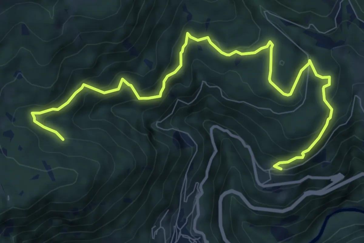
Medium · Trail
Sentiero Botanico
10.8 km · ↑ 612 m · 3 h 52 min
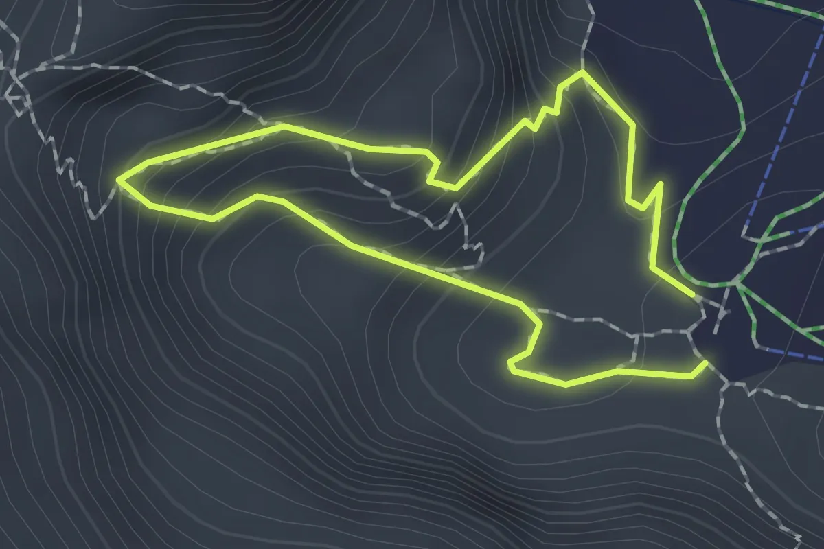
Medium · Cabin
Sentiero Botanico del Bila Peč
1.4 km · ↑ 158 m · 41 min
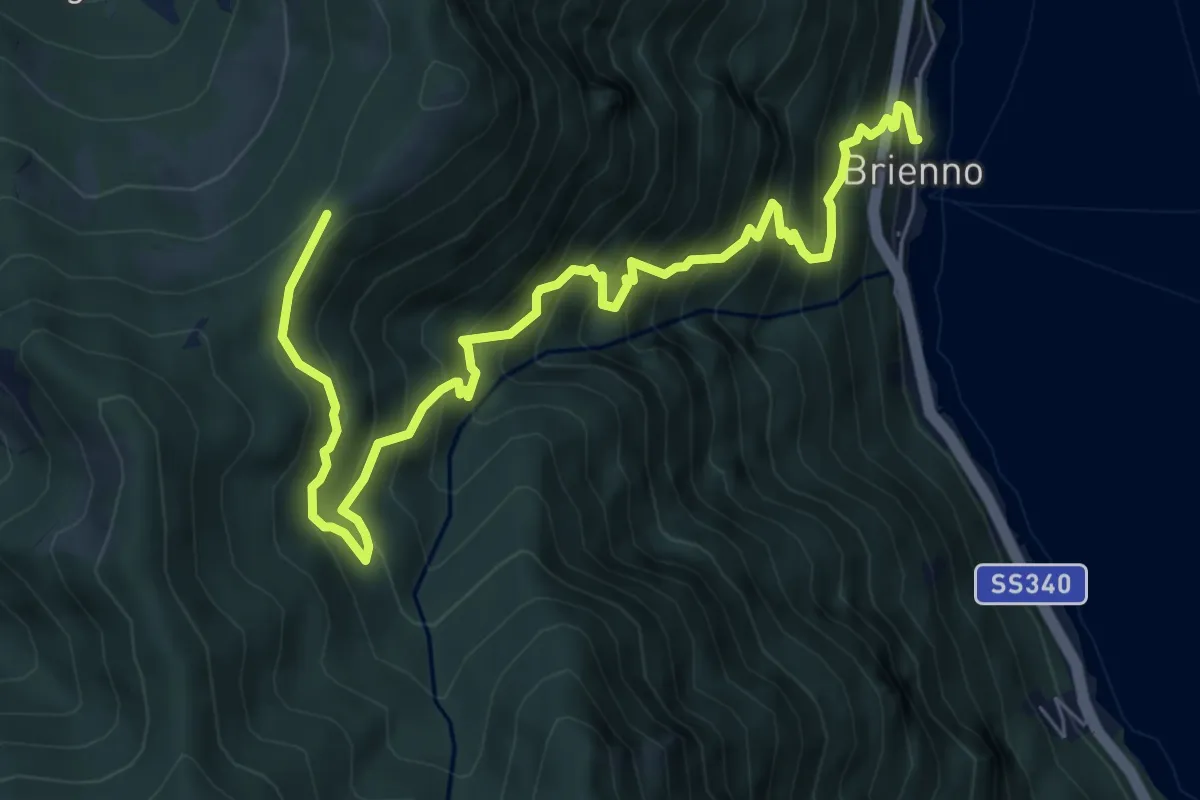
Demanding · Trail
Sentiero botanico di Brienno
8.2 km · ↑ 1026 m · 4 h 10 min
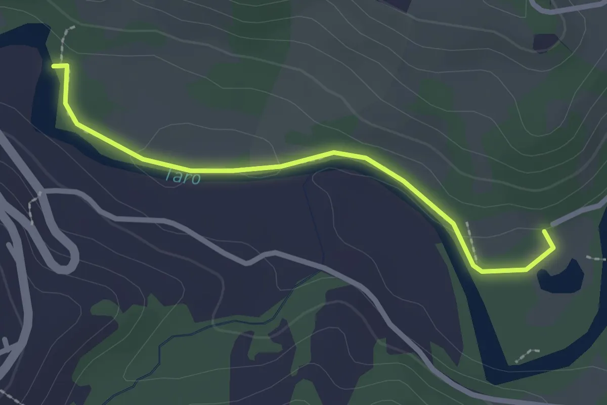
Easy · Trail
Sentiero botanico lago del Groppo - Casette in Canadà
2.3 km · ↑ 39 m · 38 min
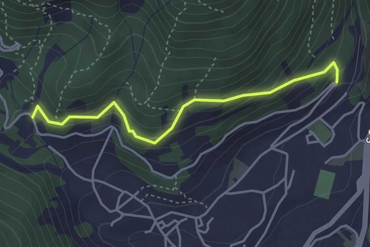
Easy · Trail
Sentiero Botanico Tita Poa
3.1 km · ↑ 267 m · 1 h 18 min
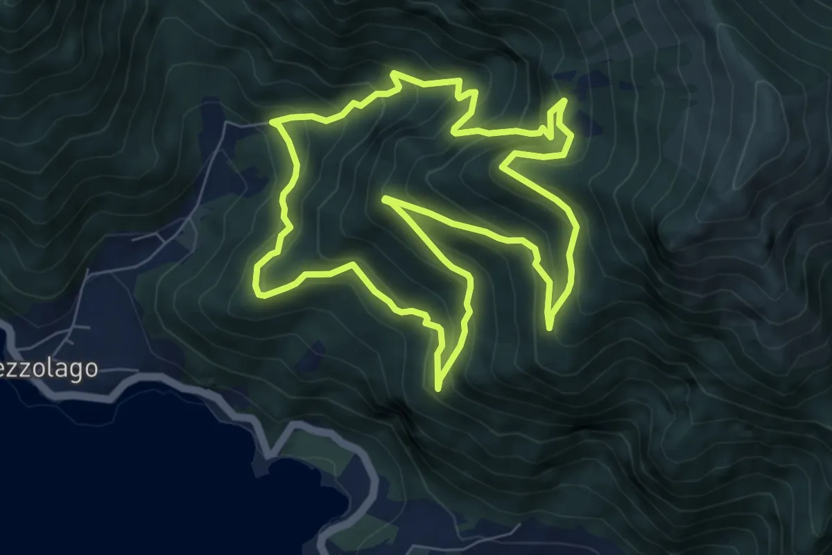
Medium · Trail
Sentiero botanico Val Dromaé
7.2 km · ↑ 650 m · 3 h 13 min
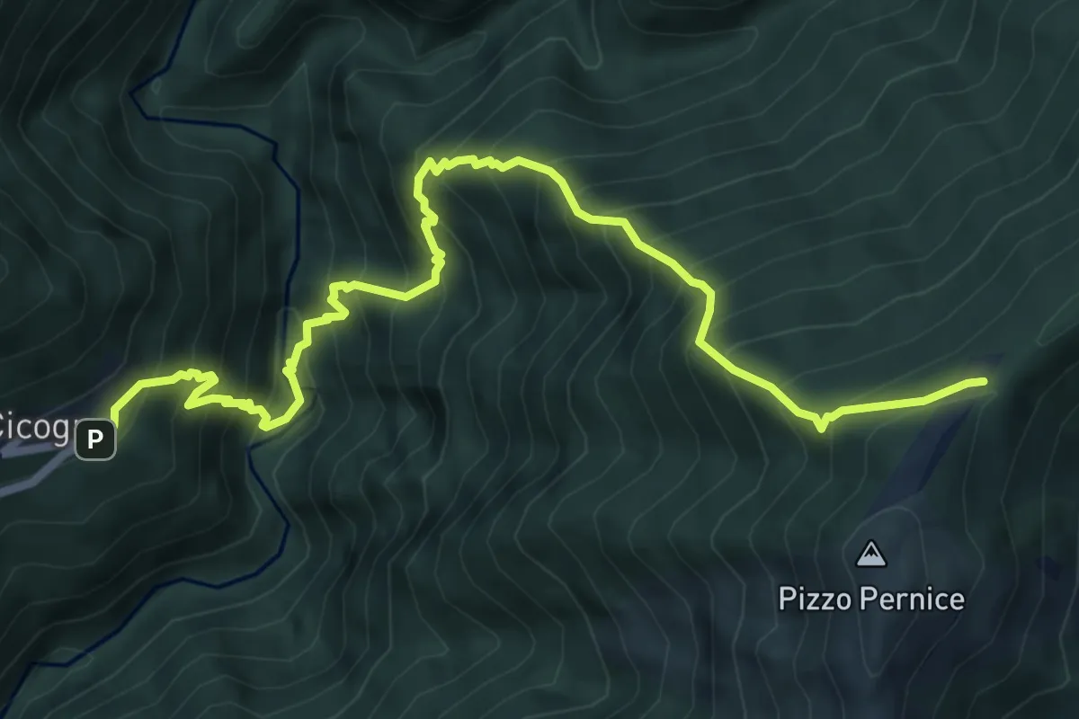
Demanding · Trail
SENTIERO BOVE - 1A TAPPA da Cicogna a Pian Cavallone
7.8 km · ↑ 1241 m · 4 h 31 min
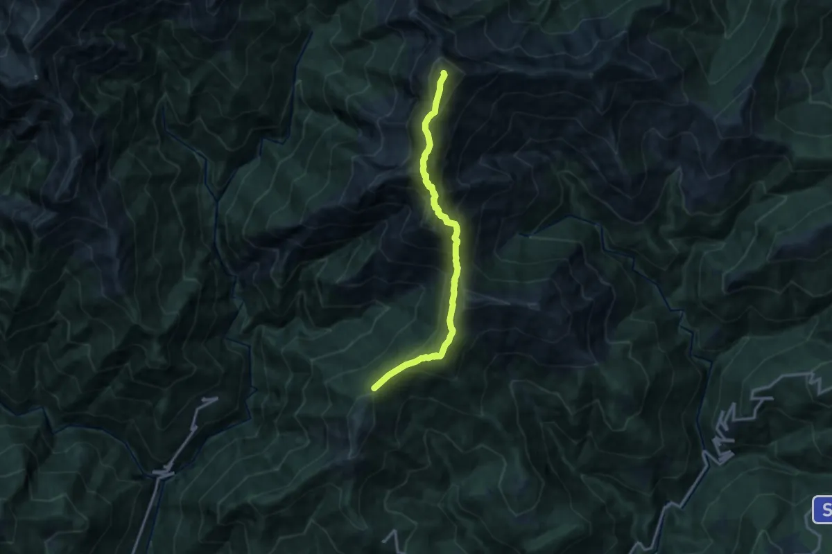
Expert · Summit
SENTIERO BOVE - 2A TAPPA Pian Cavallone - Monte Zeda - Bivacco Alpe Forna'
11.5 km · ↑ 993 m · 4 h 51 min
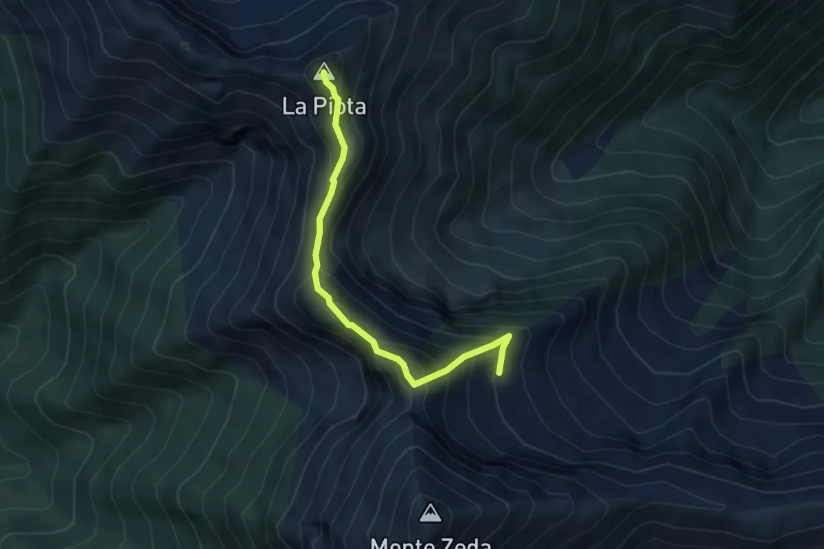
Demanding · Summit
SENTIERO BOVE - 3A TAPPA da Bivacco Alpe Forna' a Bivacco Lidesh
4.0 km · ↑ 473 m · 1 h 58 min
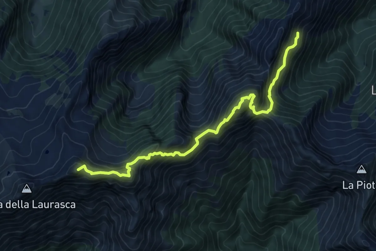
Expert · Summit
SENTIERO BOVE - 4A TAPPA da Bivacco Lidesh a Bivacco Scaredi
9.6 km · ↑ 1198 m · 4 h 51 min
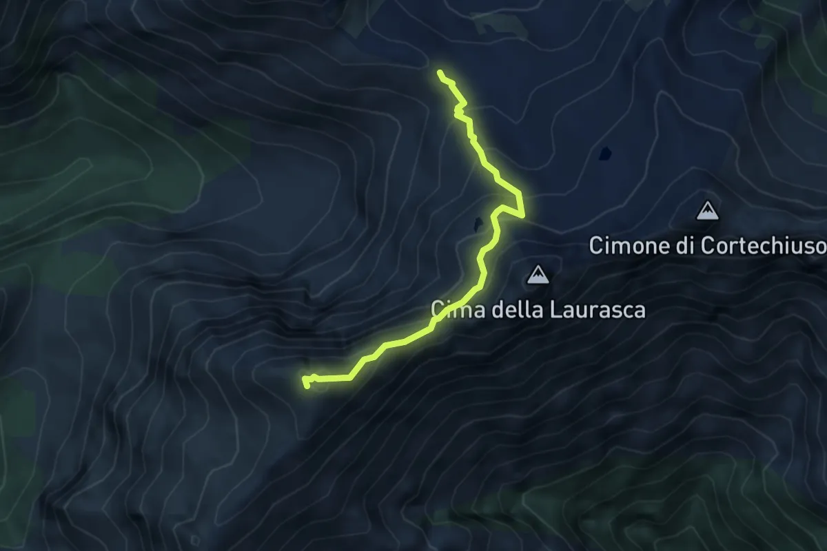
Demanding · Summit
SENTIERO BOVE - 5A TAPPA da Bivacco Scaredi a Bivacco Bta di Campo
4.0 km · ↑ 327 m · 1 h 39 min
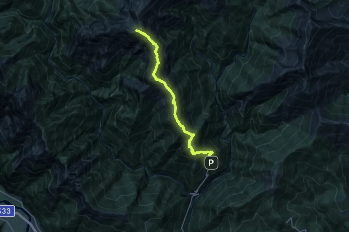
Expert · Summit
SENTIERO BOVE - 6A TAPPA da Bivacco Bta di Campo a Cicogna via Cima Sasso
14.6 km · ↑ 1692 m · 7 h 7 min
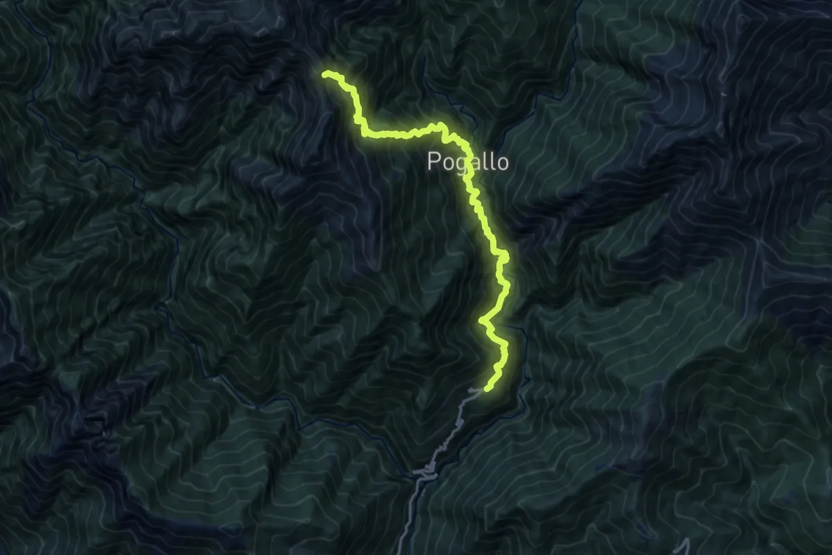
Demanding · Trail
SENTIERO BOVE - ALTERNATIVA da Strette del Casè a Cicogna via Cavrua
14.6 km · ↑ 1994 m · 7 h 46 min
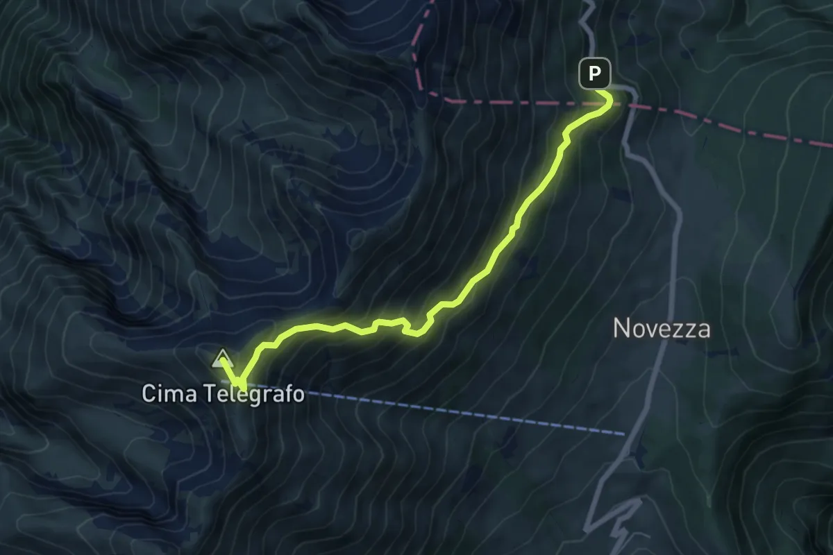
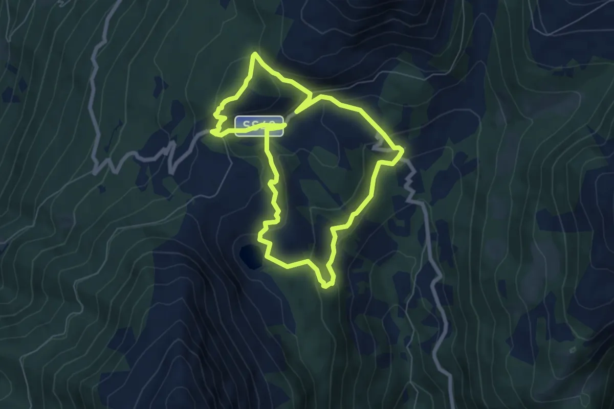
Demanding · Summit
Sentiero Bovi o del Marocco
6.6 km · ↑ 687 m · 3 h 2 min
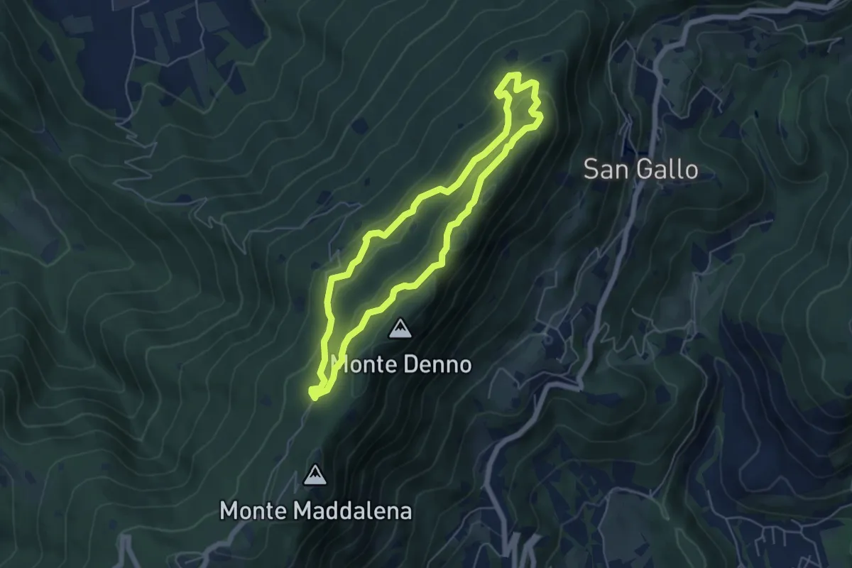
Medium · Summit
Sentiero Brigata Fiamme Verdi Antonio Schivardi - Luigi Tosetti
6.0 km · ↑ 303 m · 2 h 10 min
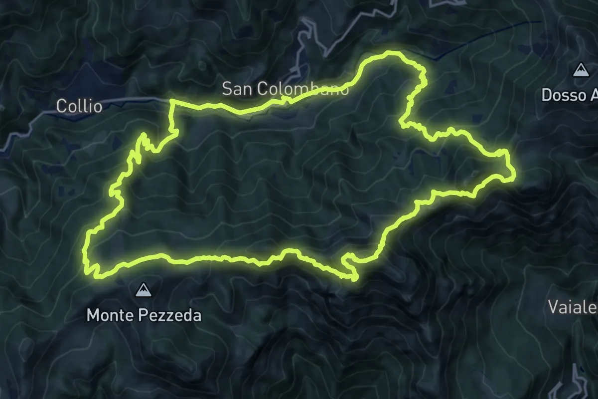
Medium · Summit
Sentiero Brigata Fiamme Verdi Dieci Giornate
5.0 km · ↑ 254 m · 1 h 48 min
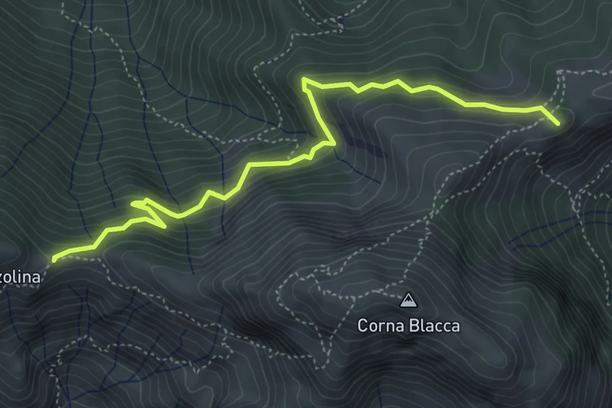
Expert · Summit
Sentiero Brigata Fiamme Verdi Ermanno Margheriti
19.0 km · ↑ 1549 m · 8 h 7 min
Medium · Summit
Sentiero Brigata Fiamme Verdi Giacomo Perlasca - Variante bassa
5.2 km · ↑ 473 m · 2 h 15 min
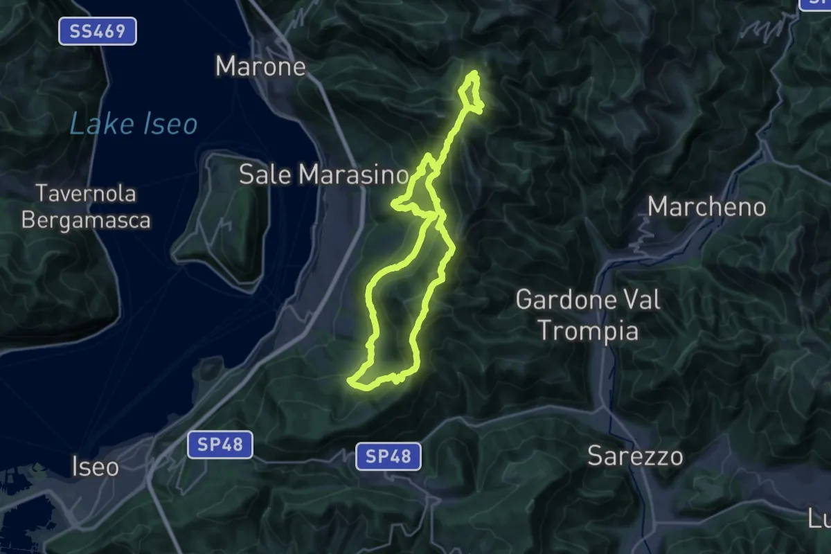
Demanding · Summit
Sentiero Brigata Giustizia e Libertà - Barnaba
18.2 km · ↑ 1346 m · 7 h 21 min
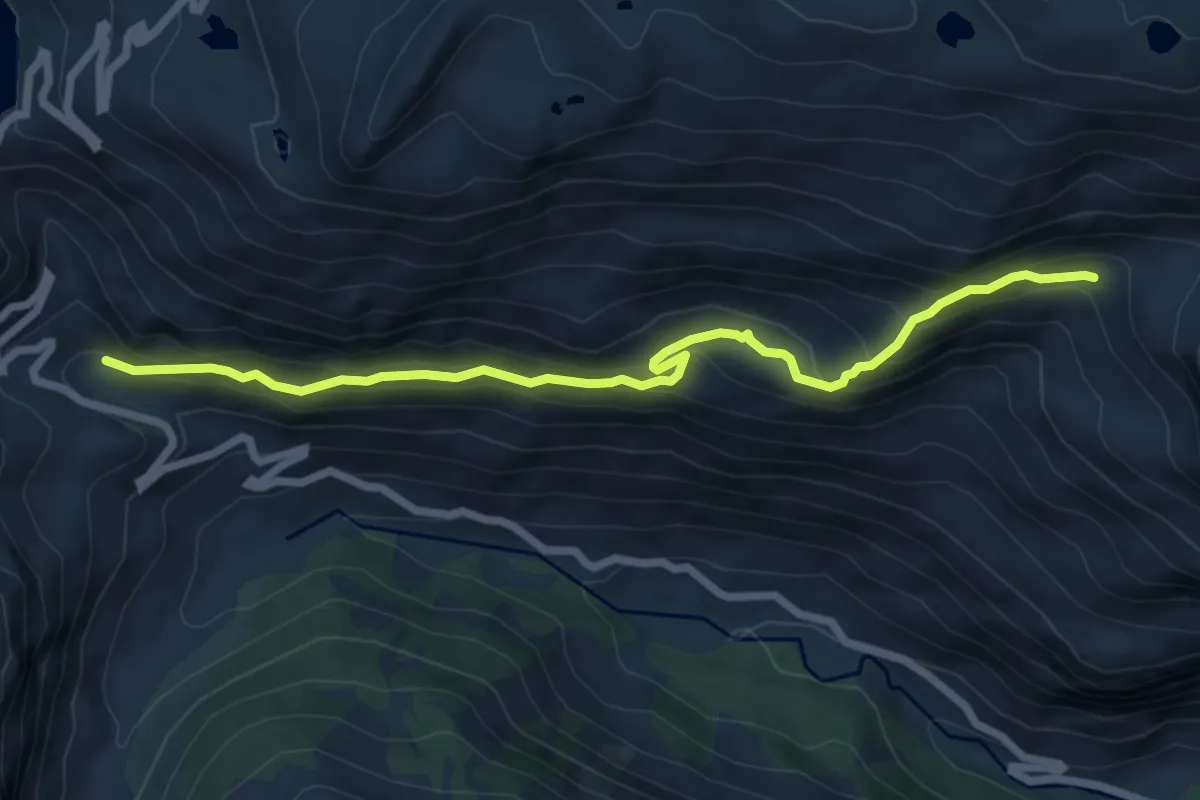
Medium · Trail
Sentiero Bruno Tempo
7.3 km · ↑ 484 m · 2 h 46 min
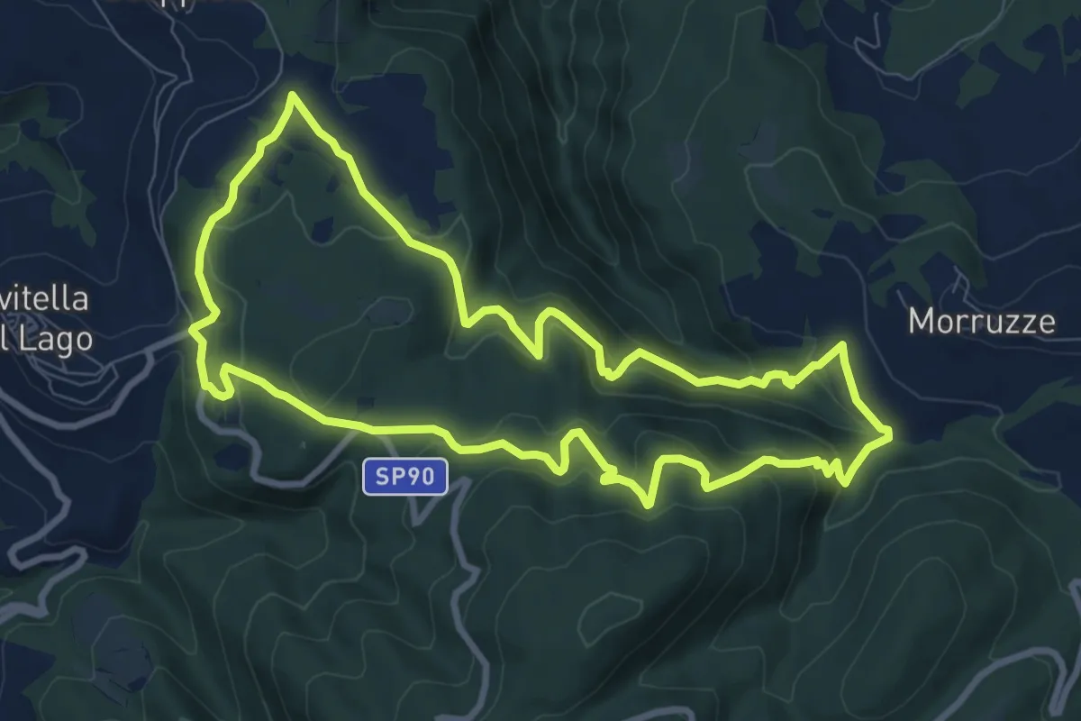
Medium · Trail
Sentiero Buche del Vento
9.2 km · ↑ 447 m · 3 h 17 min
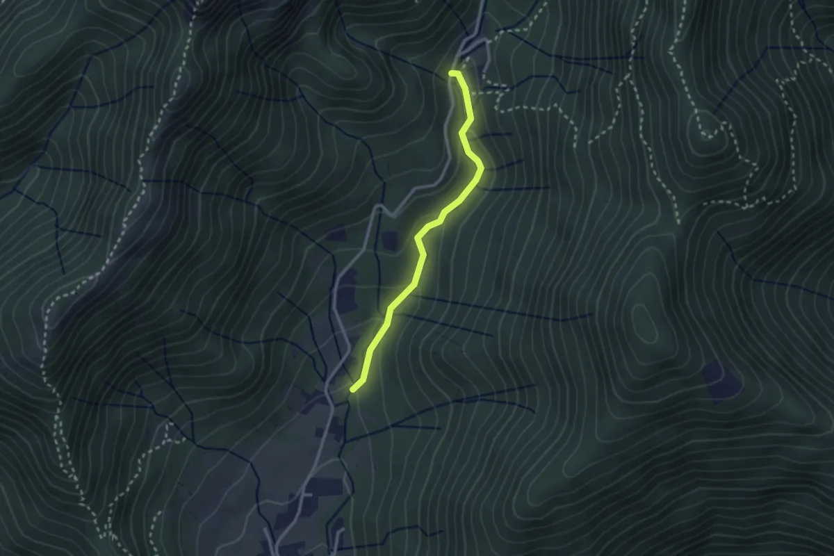
Easy · Trail
Sentiero Bujon del gal
2.4 km · ↑ 109 m · 48 min
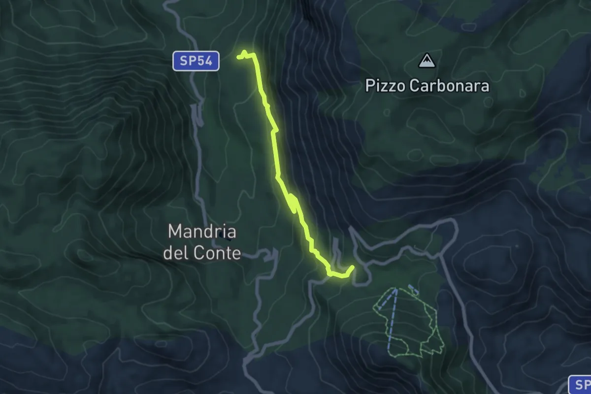
Medium · Cabin
Sentiero C
6.4 km · ↑ 407 m · 2 h 23 min
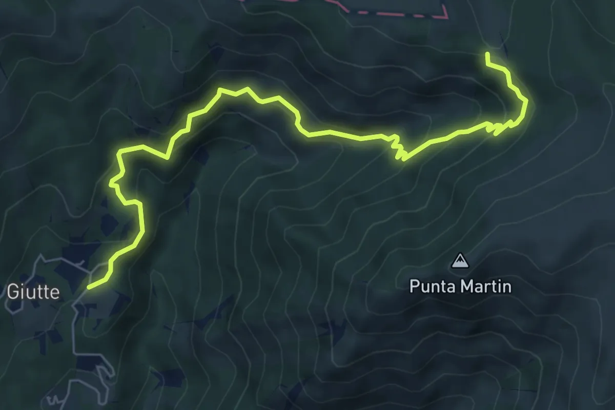
Medium · Trail
Sentiero C4
7.4 km · ↑ 512 m · 2 h 52 min
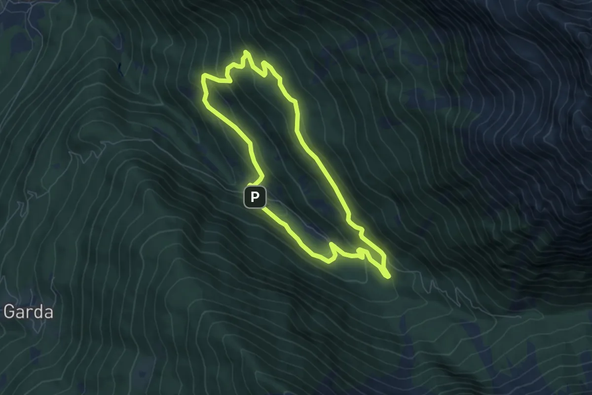
Medium · Cabin
Sentiero "Caduto Francesco Troletti"
6.3 km · ↑ 347 m · 2 h 20 min
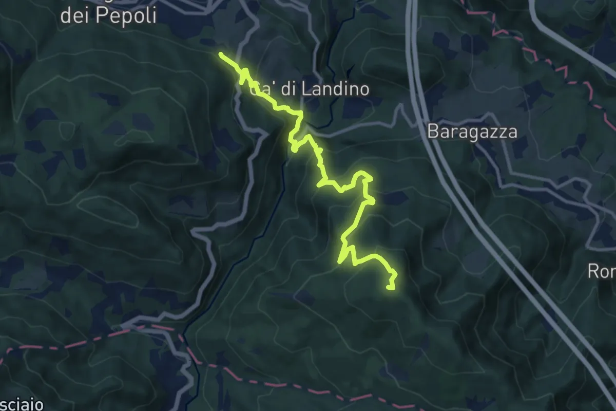
Demanding · Summit
Sentiero CAI 005
11.2 km · ↑ 821 m · 4 h 25 min
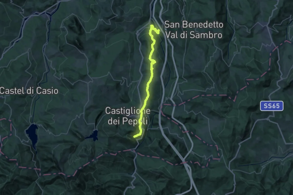
Medium · Trail
Sentiero CAI 007
14.8 km · ↑ 722 m · 5 h
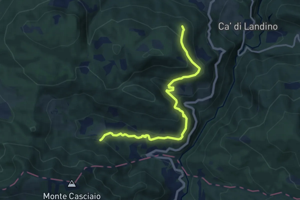
Medium · Cabin
Sentiero CAI 037
9.5 km · ↑ 539 m · 3 h 25 min
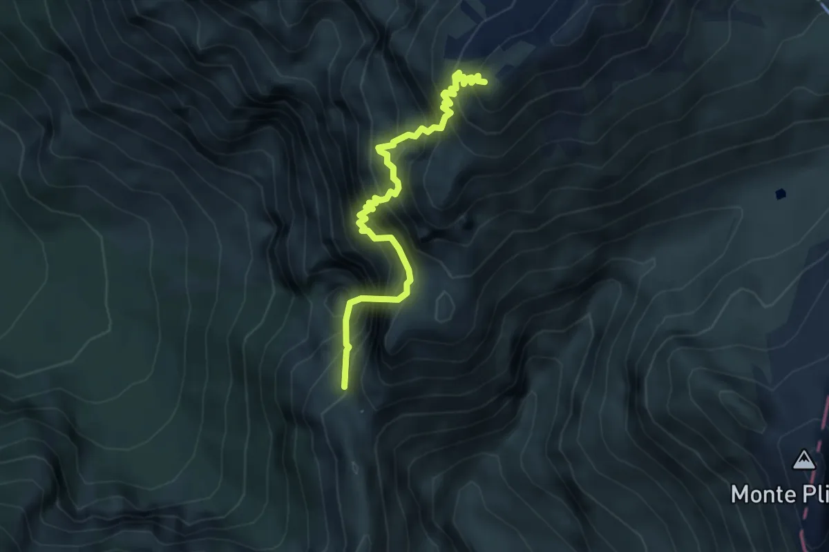
Expert · Summit
Sentiero C.A.I. 193, Alpinistico Angelo Pojesi
4.3 km · ↑ 991 m · 3 h 9 min
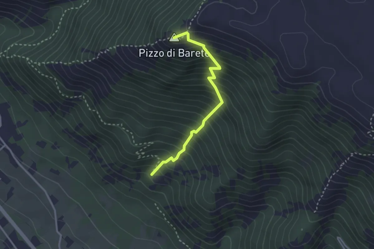
Medium · Summit
Sentiero CAI 422C
2.7 km · ↑ 470 m · 1 h 40 min
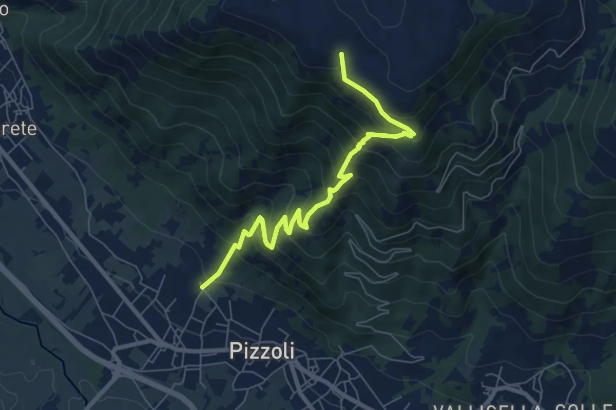
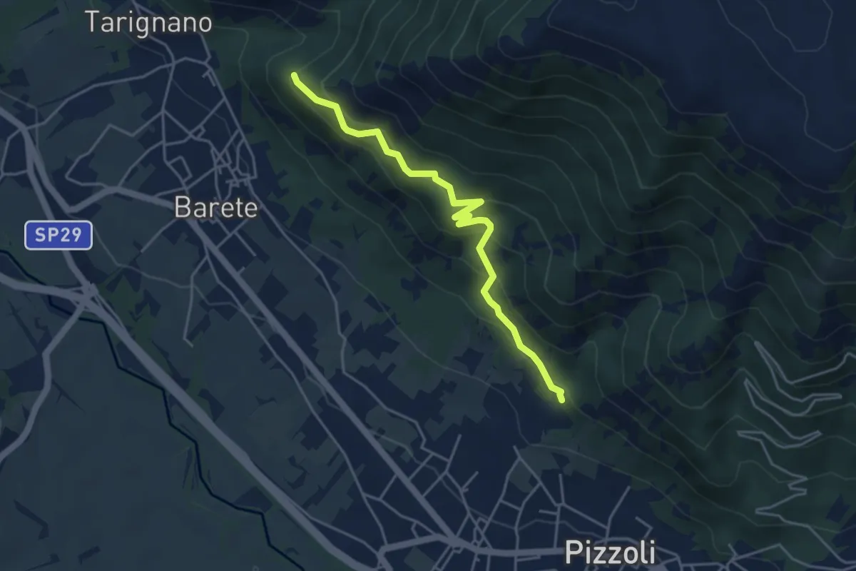
Medium · Trail
Sentiero CAI 422D
6.8 km · ↑ 629 m · 2 h 58 min
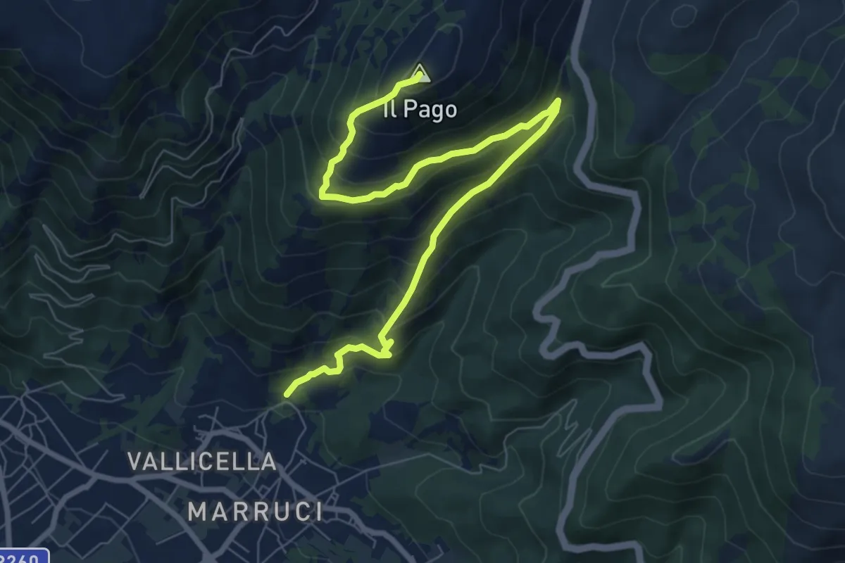
Medium · Trail
Sentiero CAI 422F
4.5 km · ↑ 394 m · 1 h 55 min
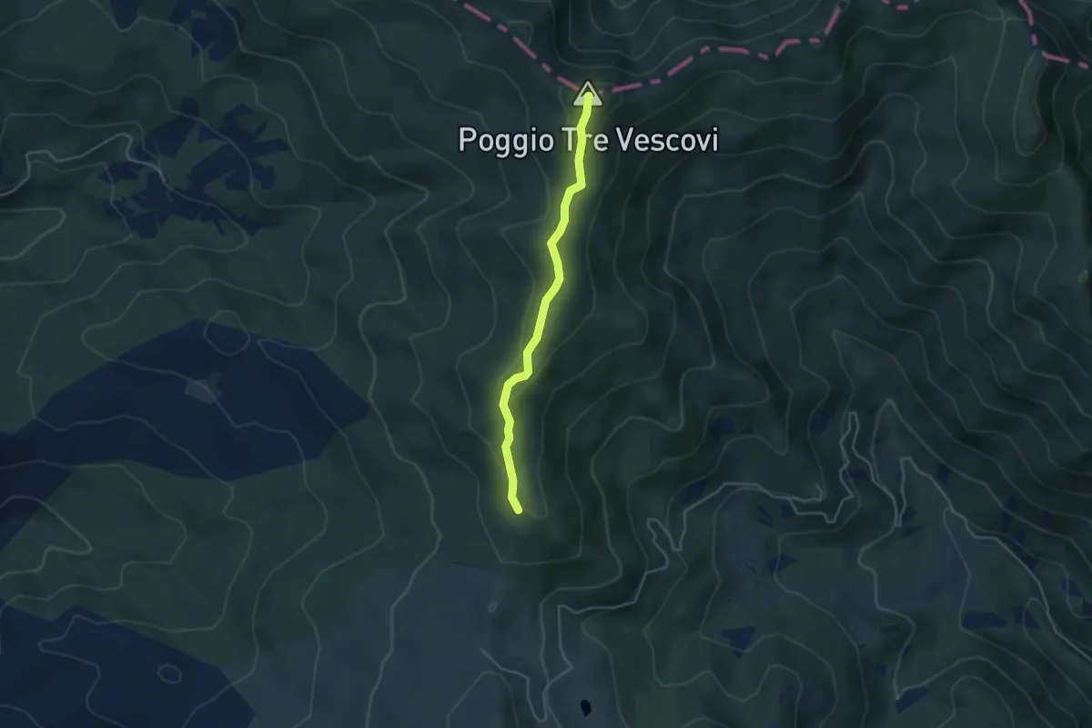
Demanding · Summit
Sentiero CAI 423
9.5 km · ↑ 755 m · 3 h 52 min
Easy · Summit
Sentiero CAI 50
3.8 km · ↑ 177 m · 1 h 17 min
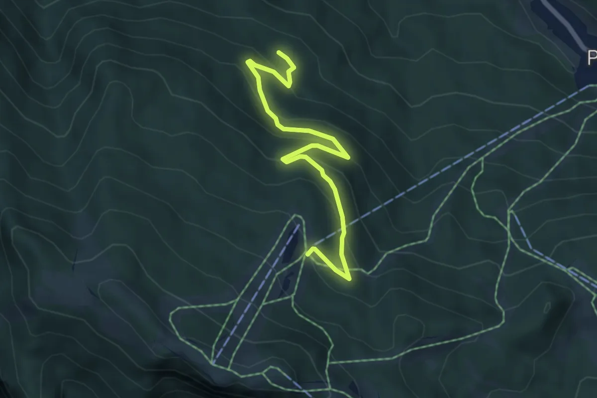
Easy · Cabin
Sentiero C.A.I. 569 (incomplete)
5.3 km · ↑ 291 m · 1 h 53 min
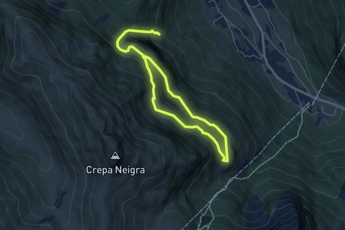
Demanding · Trail
Sentiero Camosci
3.8 km · ↑ 251 m · 1 h 36 min
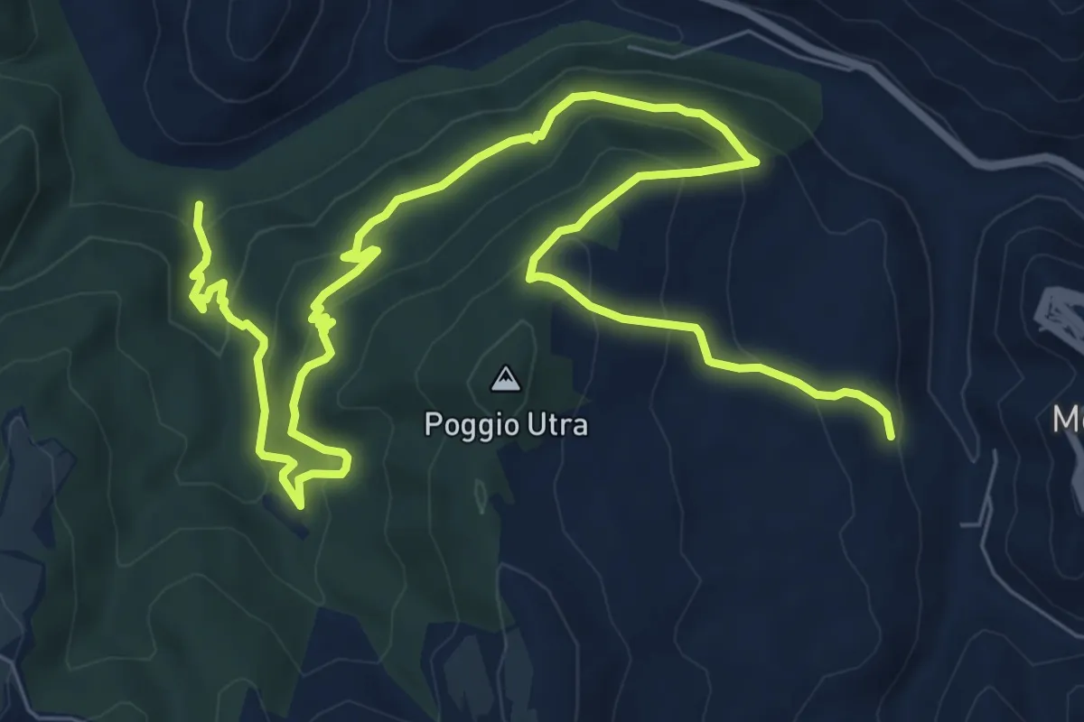
Medium · Trail
Sentiero Canalazzo
13.1 km · ↑ 727 m · 4 h 40 min
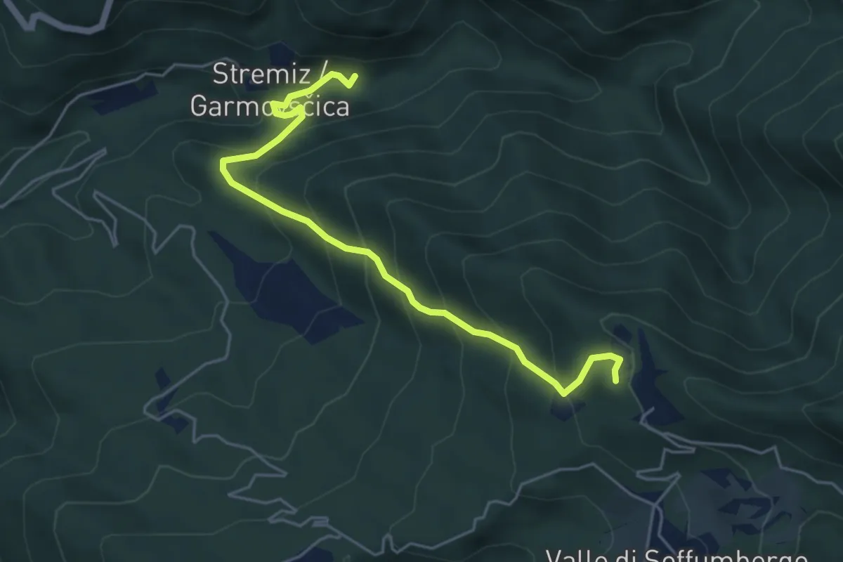
Medium · Trail
Sentiero Canal di Grivò
5.1 km · ↑ 457 m · 2 h 11 min
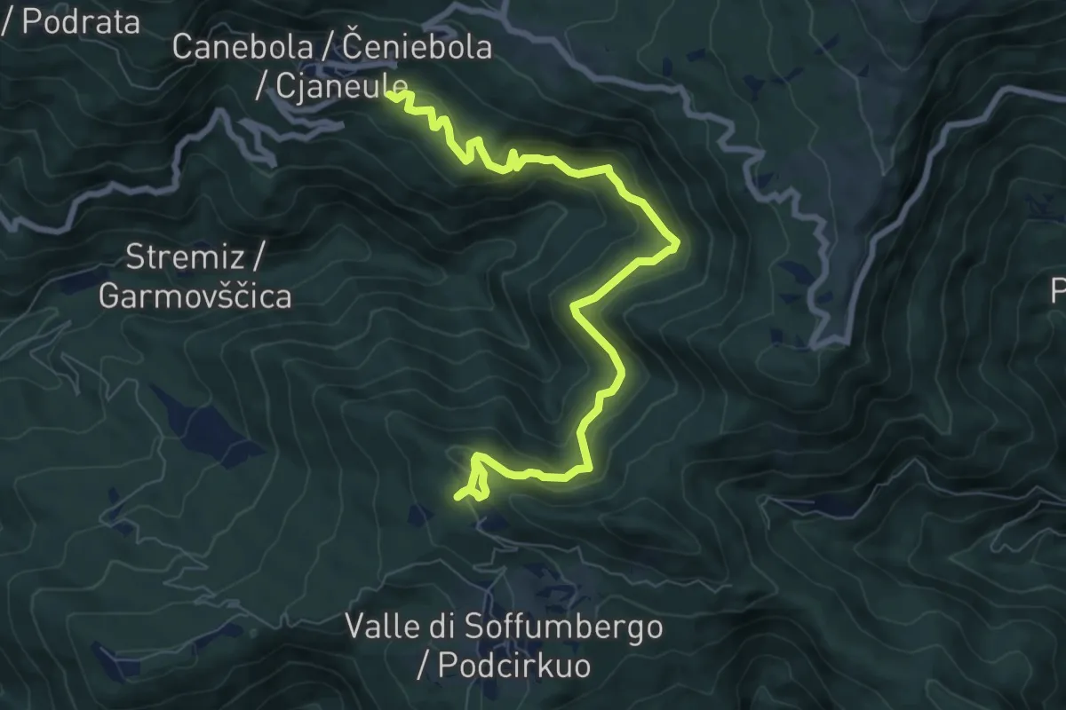
Medium · Trail
Sentiero Canebola - Pedrosa
8.8 km · ↑ 549 m · 3 h 16 min
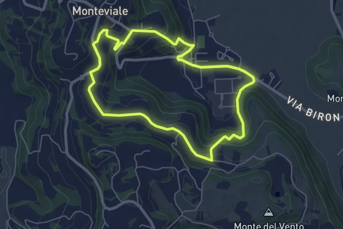
Easy · Trail
Sentiero Canestrello
4.5 km · ↑ 143 m · 1 h 26 min
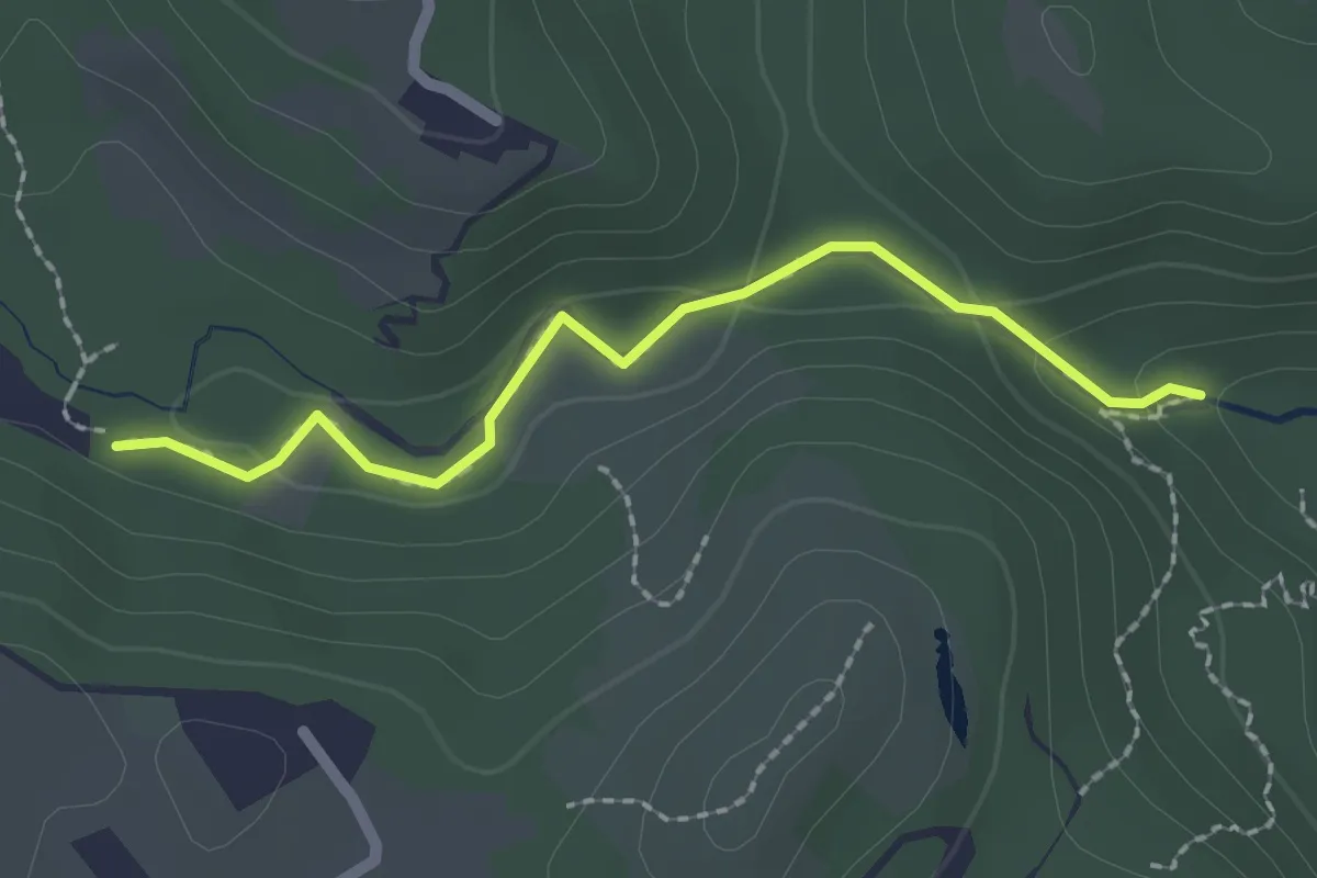
Demanding · Trail
Sentiero Canyon Fandaglia
2.1 km · ↑ 54 m · 37 min
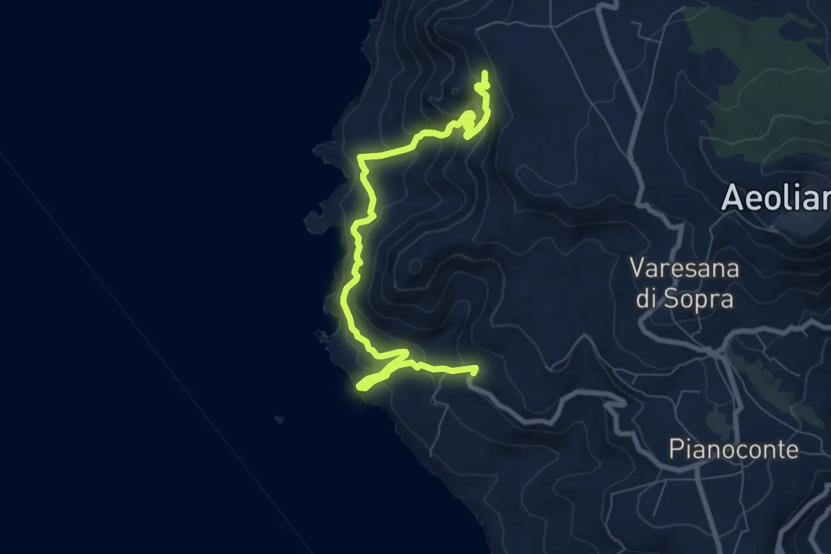
Expert · Trail
Sentiero Caolino - San Calogero
11.4 km · ↑ 875 m · 4 h 36 min