Trails in Italy
25,219 hiking trails, each with its route, climb, walking time and grade.
All trails, page 162 of 526
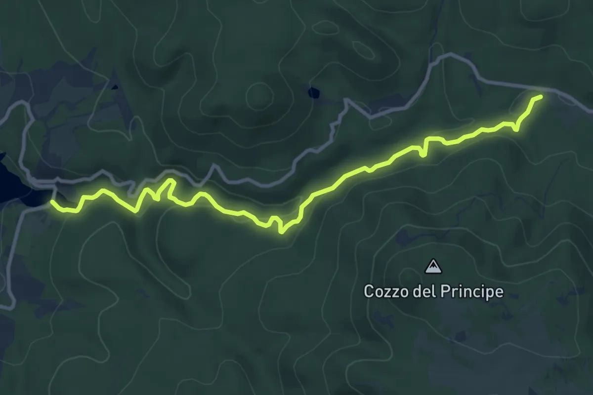
Medium · Trail
Sentiero del Fiume Cecita
11.4 km · ↑ 363 m · 3 h 28 min
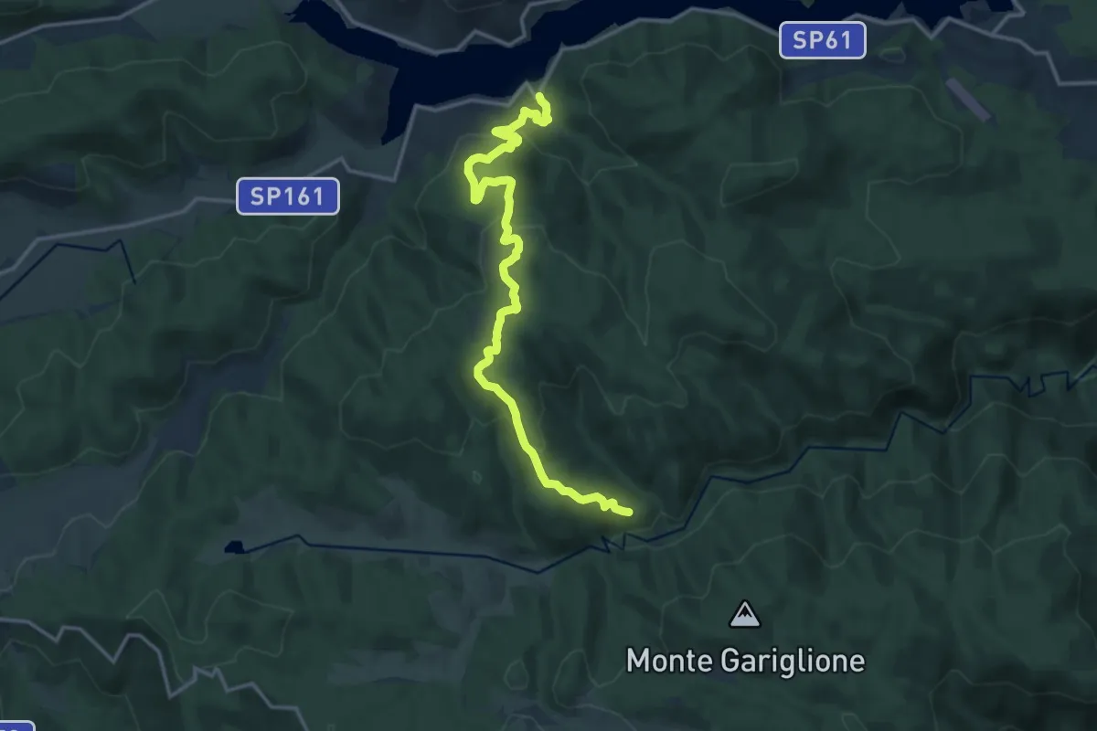
Medium · Trail
Sentiero del Fiume Tassito
17.4 km · ↑ 708 m · 5 h 39 min
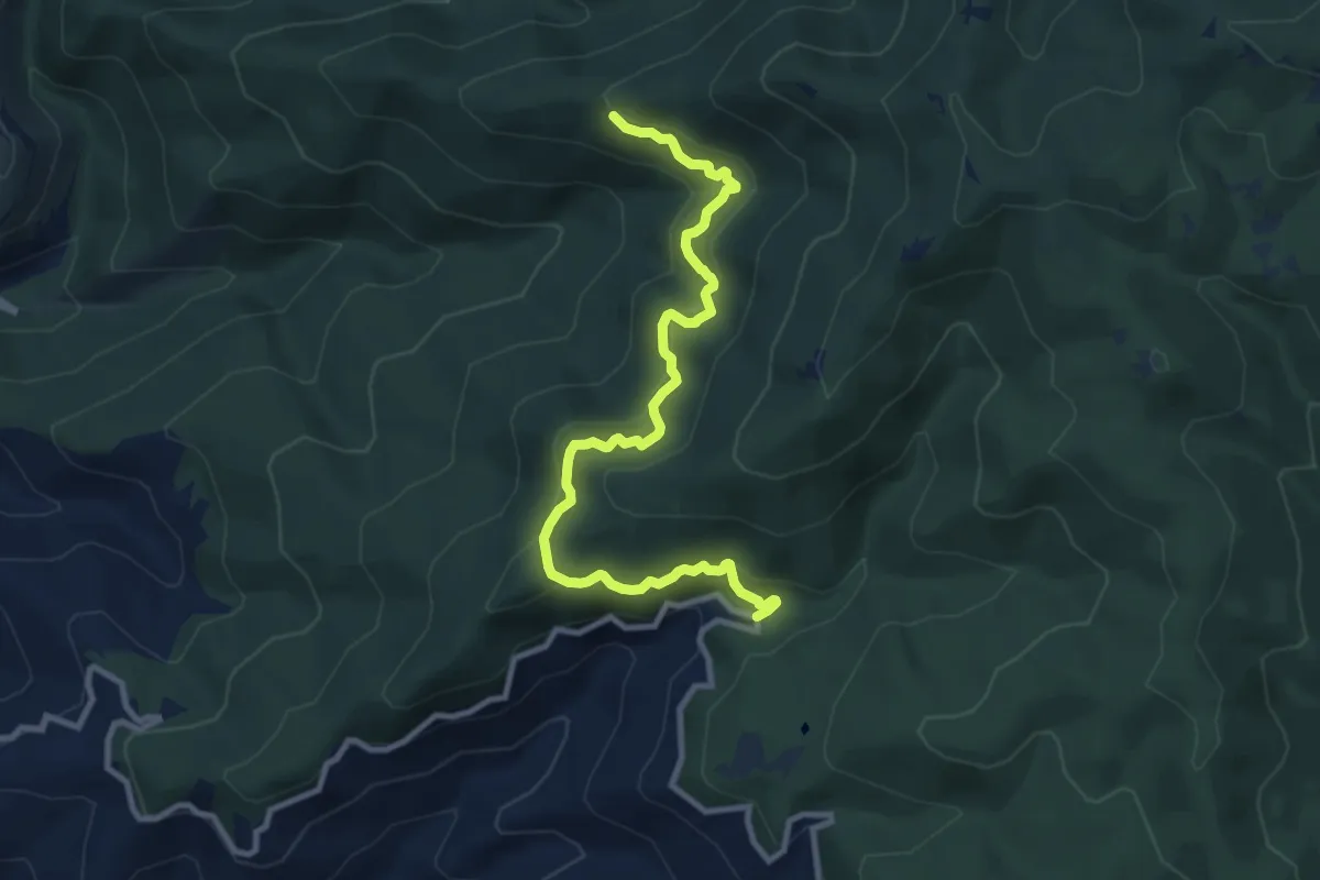
Medium · Trail
Sentiero del Fiumicello
12.1 km · ↑ 608 m · 4 h 10 min
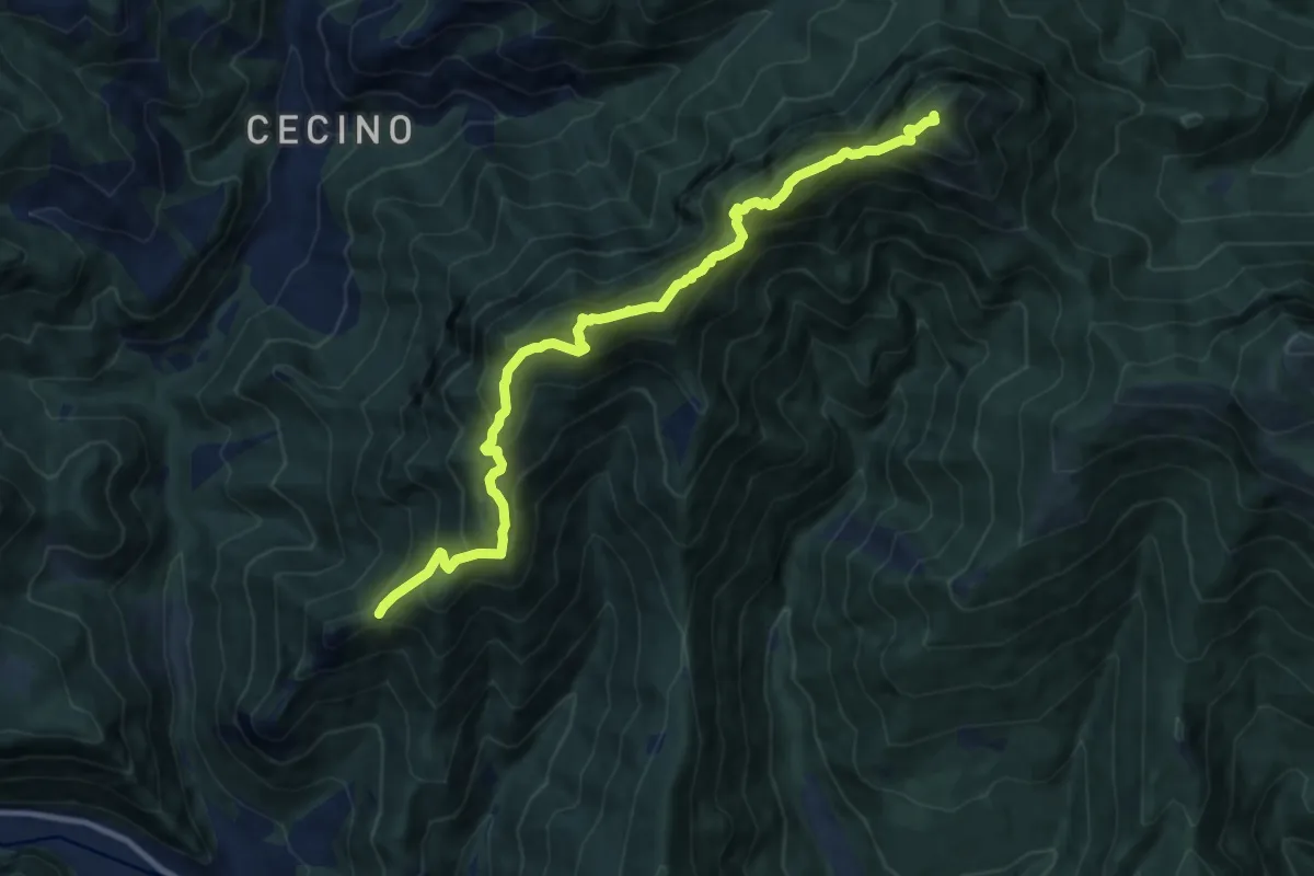
Expert · Summit
Sentiero del Forametto e Marmere
11.0 km · ↑ 1118 m · 5 h 1 min
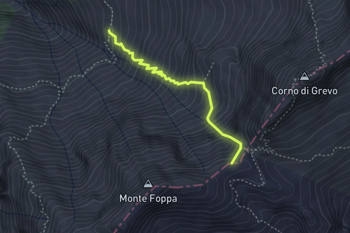
Expert · Summit
Sentiero del Forcel Rosso
3.0 km · ↑ 647 m · 2 h 7 min
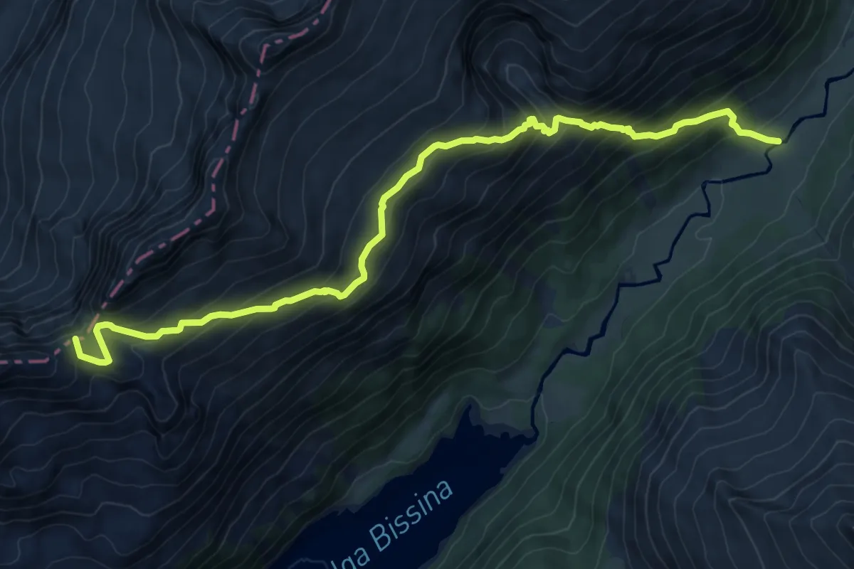
Demanding · Summit
Sentiero del Forcel Rosso
10.8 km · ↑ 930 m · 4 h 34 min
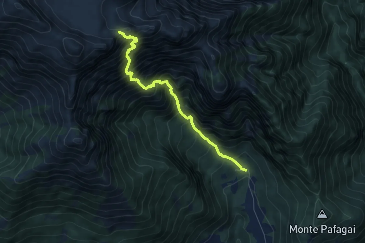
Demanding · Trail
Sentiero del Forzelon
6.3 km · ↑ 1121 m · 3 h 55 min
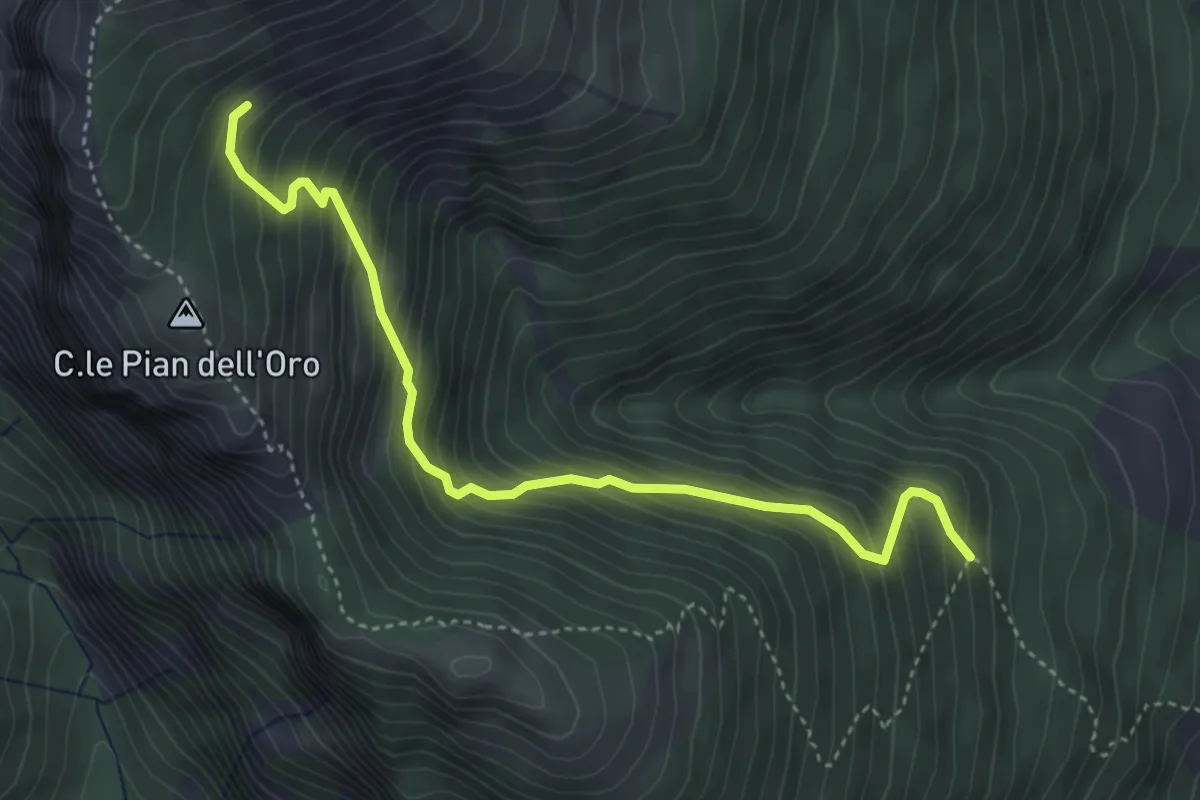
Medium · Trail
Sentiero Del Fosso Bianco
4.6 km · ↑ 556 m · 2 h 17 min
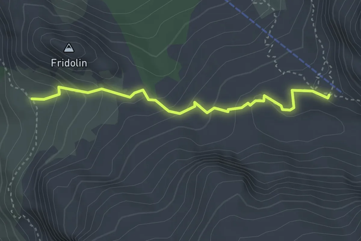
Demanding · Cabin
Sentiero del Fridolin
3.1 km · ↑ 199 m · 1 h 10 min
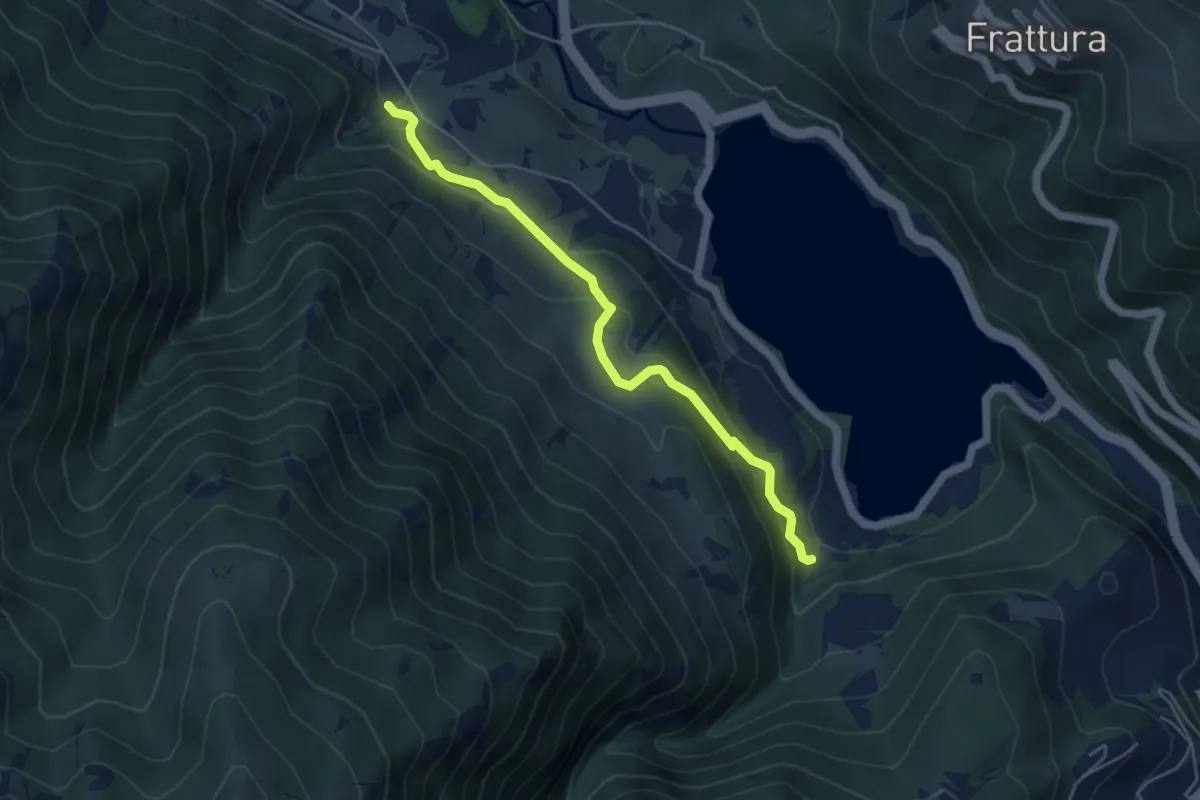
Easy · Trail
Sentiero del Frontone
5.2 km · ↑ 246 m · 1 h 45 min
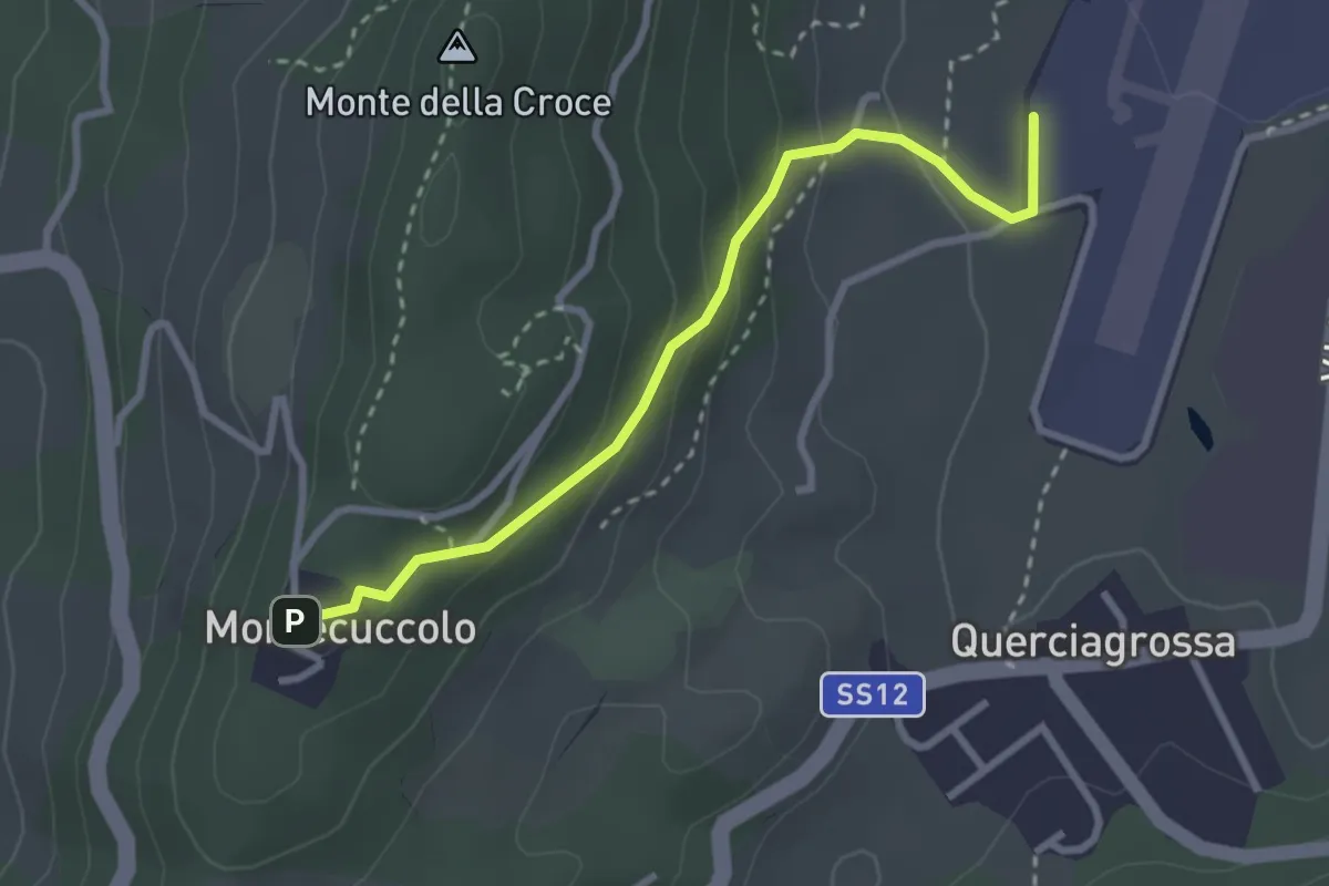
Easy · Trail
"Sentiero del Generale" - Pavullo (aeroporto) - Montecuccolo
3.0 km · ↑ 157 m · 1 h 3 min
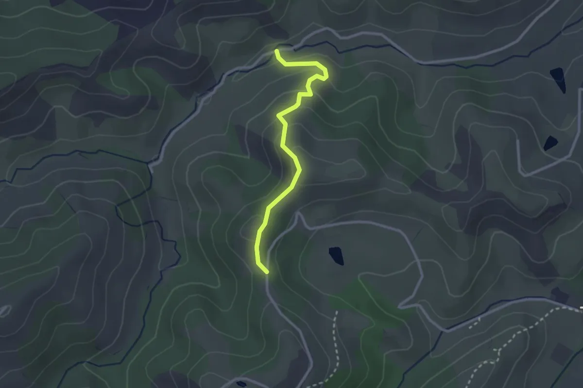
Easy · Trail
Sentiero del Gheppio
2.5 km · ↑ 120 m · 52 min
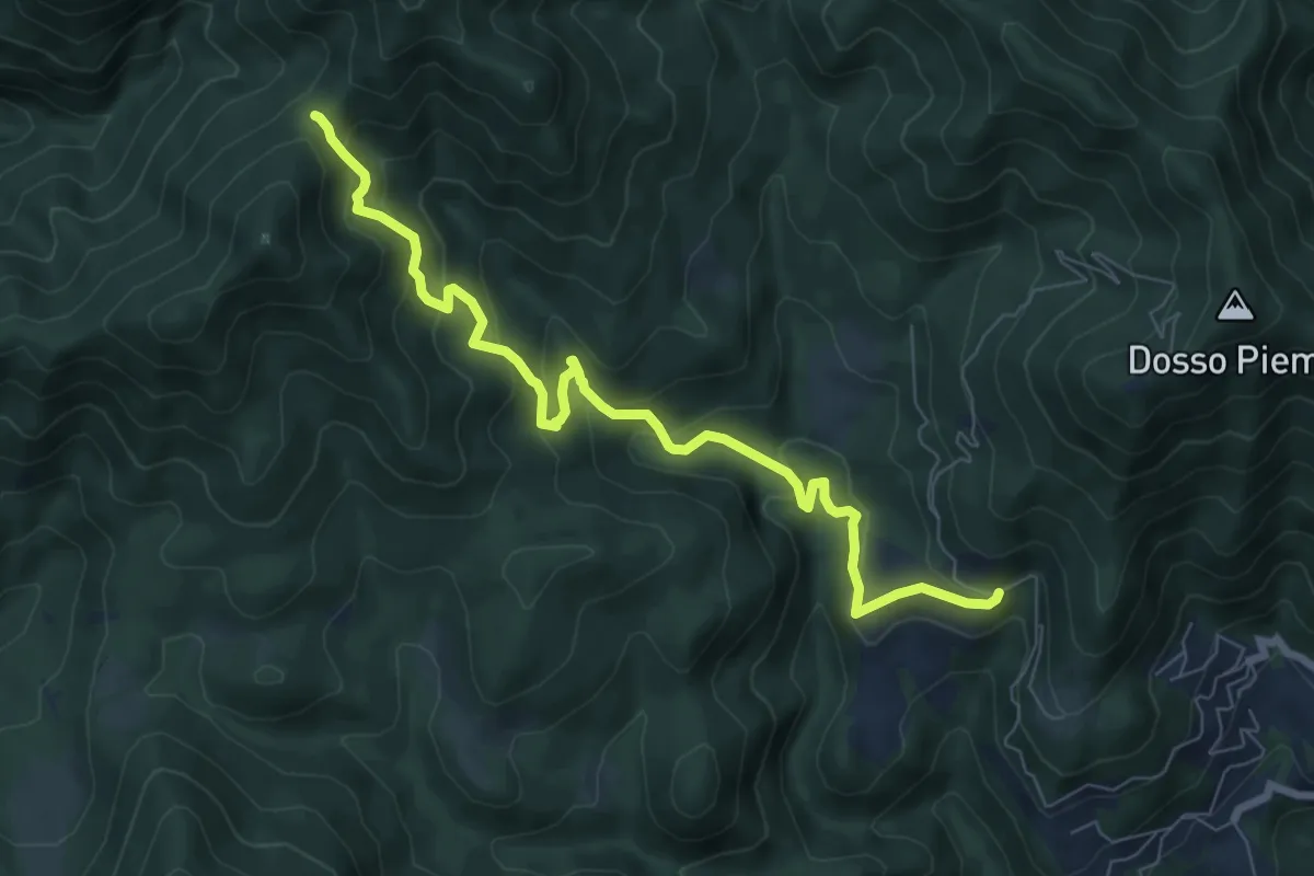
Medium · Trail
Sentiero del Gianech
8.2 km · ↑ 539 m · 3 h 6 min
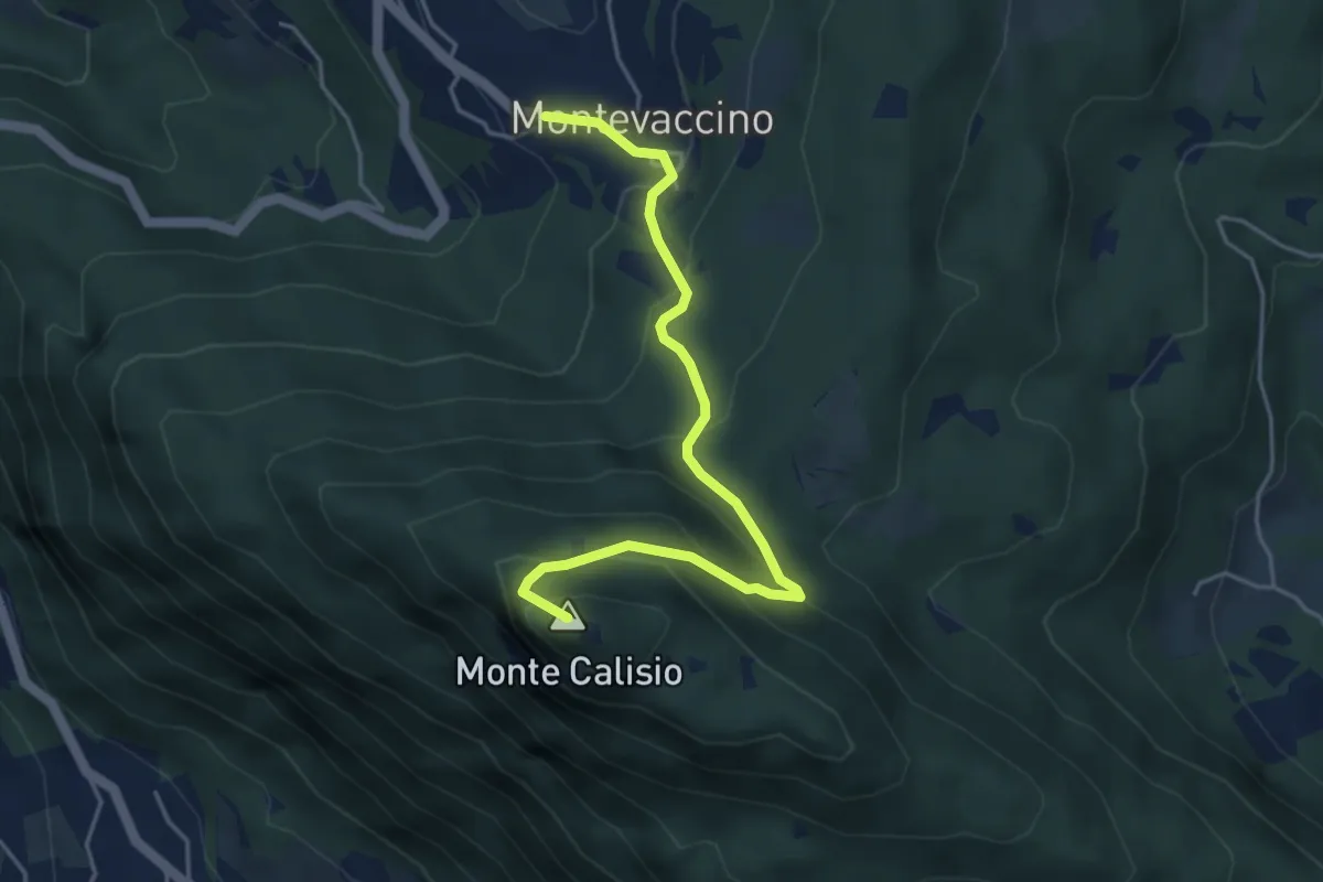
Demanding · Summit
Sentiero del Giaron
4.7 km · ↑ 347 m · 1 h 51 min
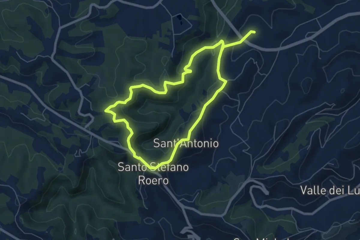
Medium · Trail
Sentiero del Gioco
11.1 km · ↑ 400 m · 3 h 30 min
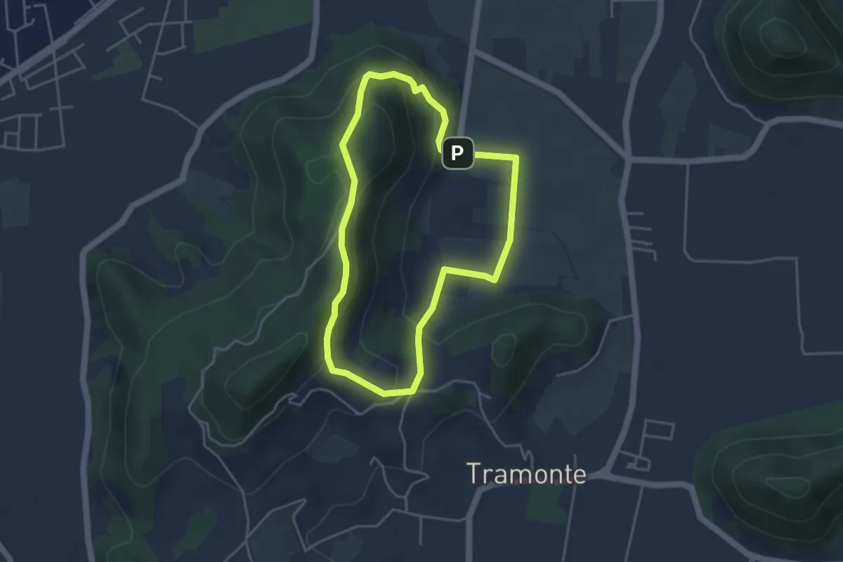
Easy · Summit
Sentiero del Giubileo
3.7 km · ↑ 183 m · 1 h 20 min
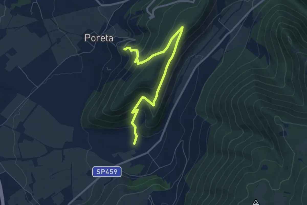
Medium · Trail
Sentiero delgli Ulivi - Variante Costa Paradiso
8.1 km · ↑ 436 m · 2 h 51 min
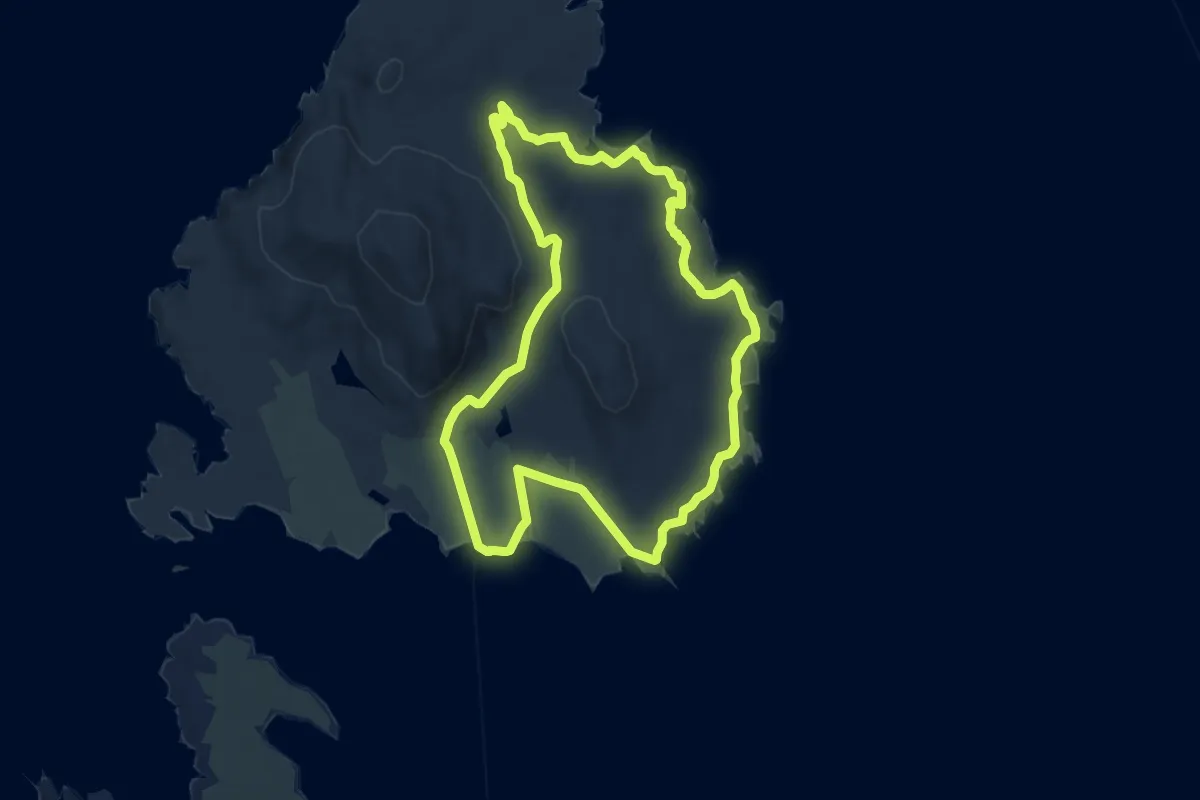
Medium · Trail
Sentiero del Granito
11.4 km · ↑ 115 m · 3 h 6 min
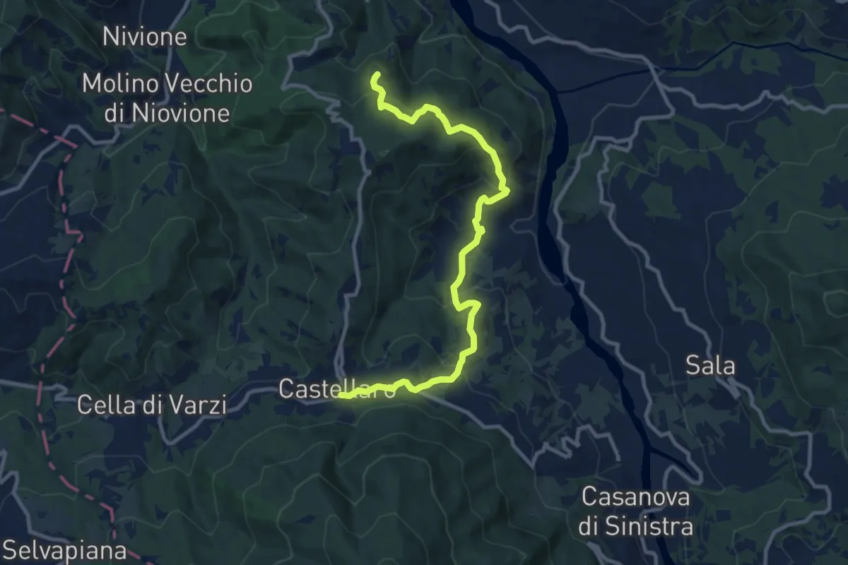
Medium · Trail
Sentiero del Grillo
11.0 km · ↑ 638 m · 3 h 59 min
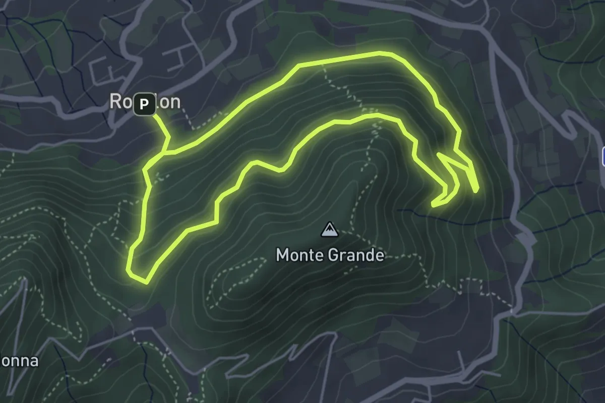
Medium · Trail
Sentiero del Gruppo San Giorgio
4.7 km · ↑ 337 m · 1 h 53 min
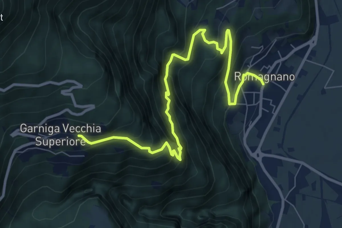
Demanding · Trail
Sentiero del Guardadocio
8.5 km · ↑ 829 m · 3 h 48 min
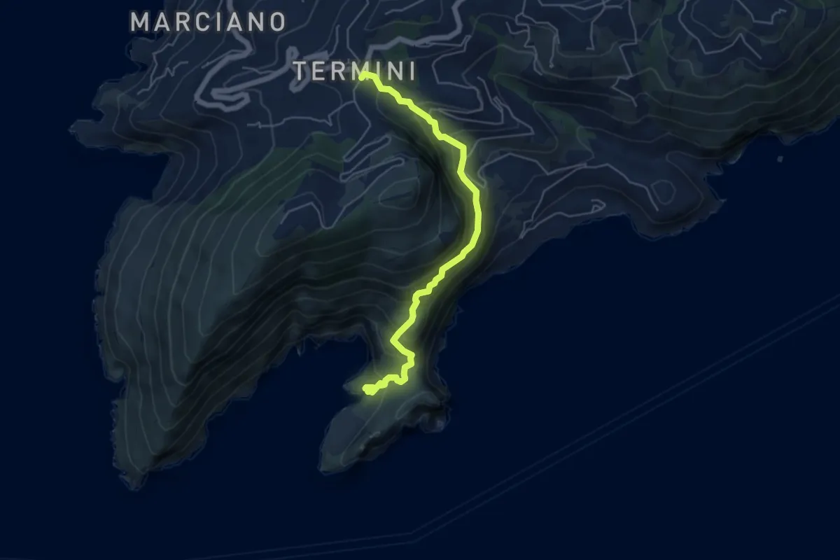
Medium · Trail
Sentiero della baia di Jeranto
5.7 km · ↑ 486 m · 2 h 24 min
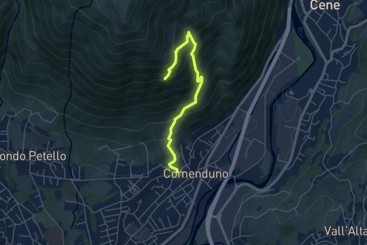
Demanding · Trail
Sentiero della Barchéssa Antonio Manganoni
4.6 km · ↑ 546 m · 2 h 16 min
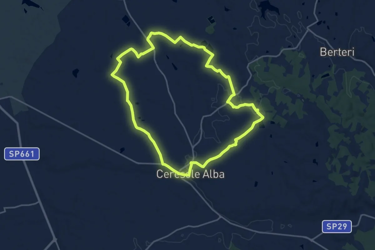
Medium · Trail
Sentiero della Battaglia
14.3 km · ↑ 61 m · 3 h 43 min
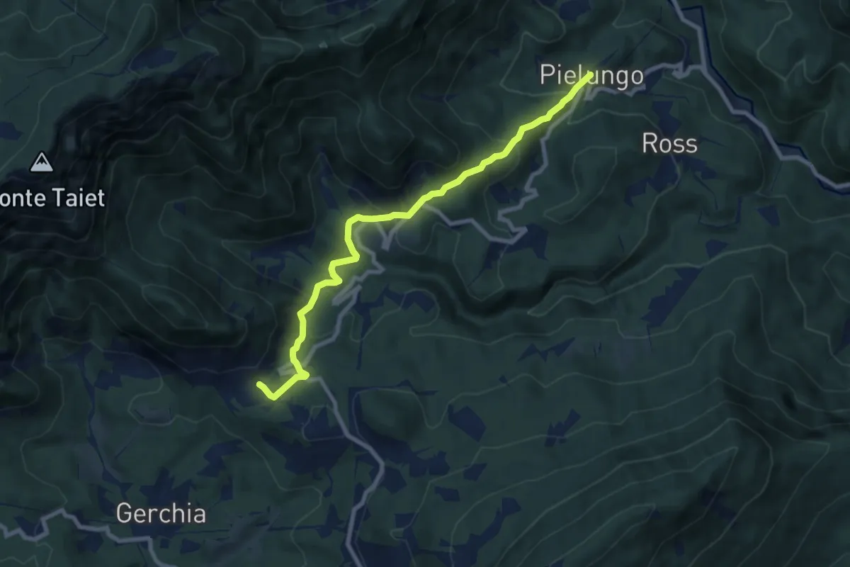
Medium · Trail
Sentiero della Battaglia di Pradis
8.0 km · ↑ 430 m · 2 h 50 min
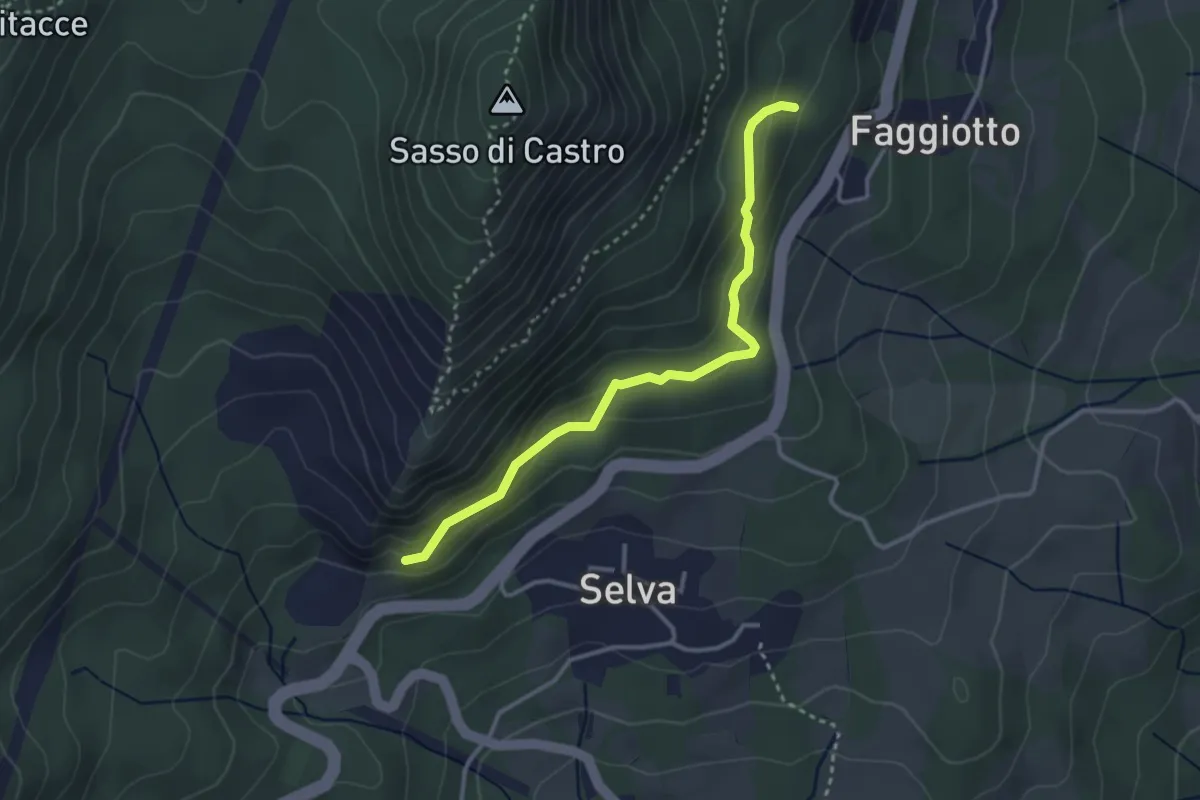
Easy · Trail
Sentiero della bella Addormentata
3.3 km · ↑ 158 m · 1 h 7 min
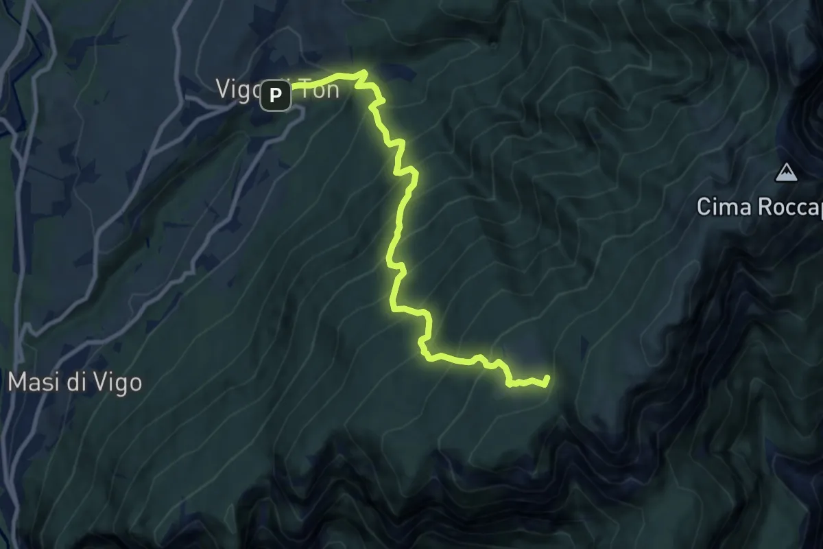
Demanding · Trail
Sentiero della Bodrina o della Bara
9.4 km · ↑ 1120 m · 4 h 39 min
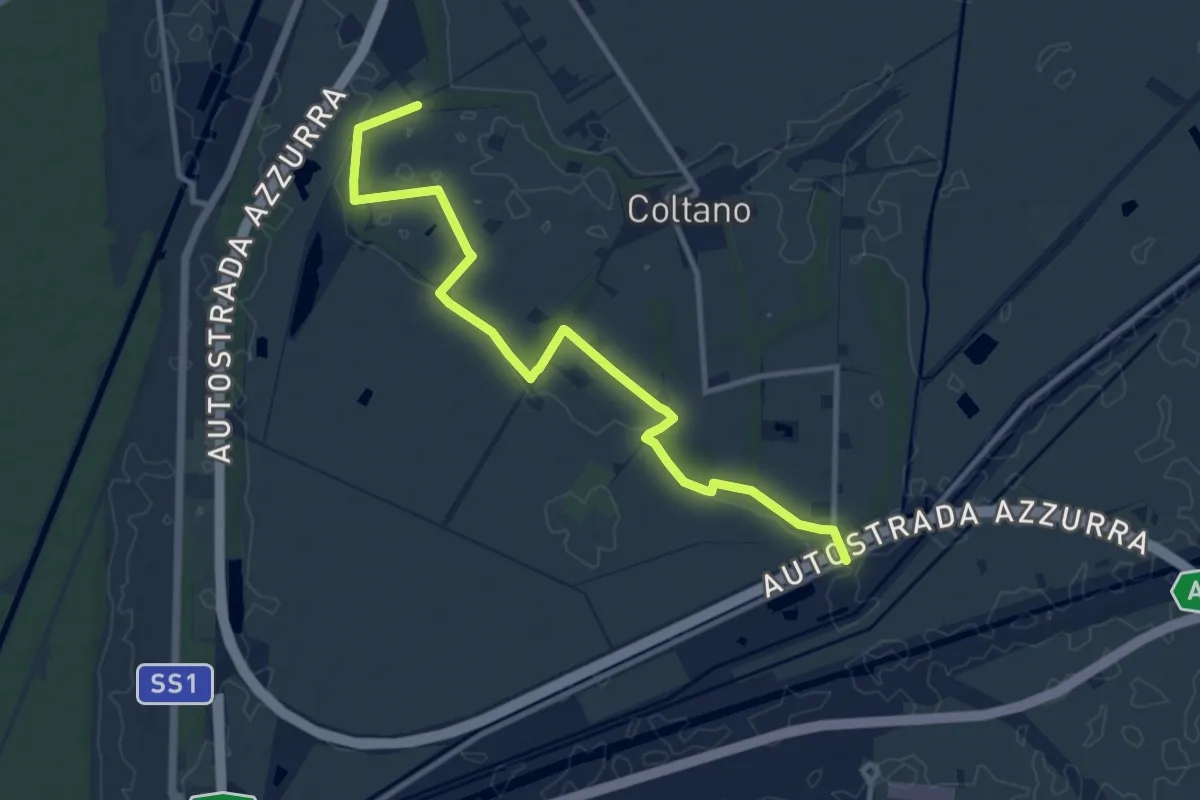
Medium · Trail
Sentiero della Bonifica
12.2 km · ↑ 34 m · 2 h 57 min
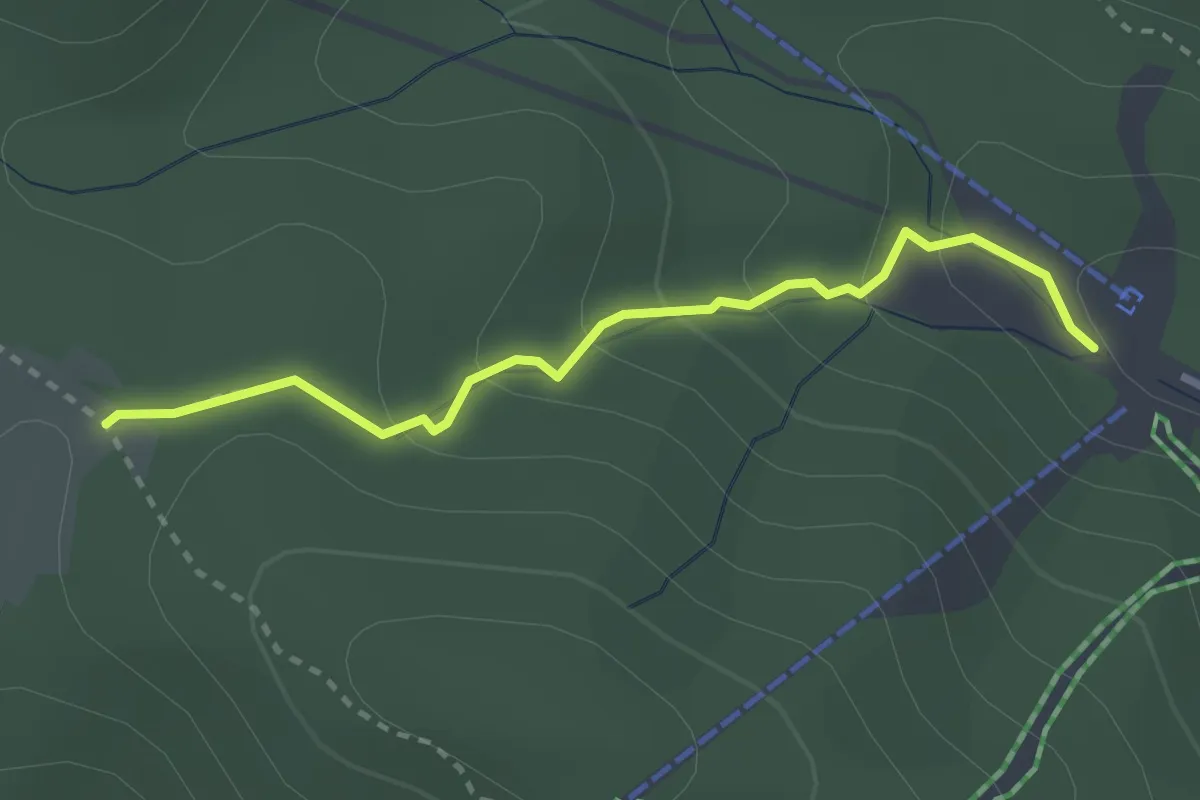
Medium · Cabin
Sentiero della Cabinovia
3.0 km · ↑ 150 m · 1 h 2 min
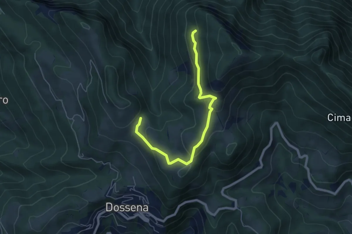
Medium · Trail
Sentiero della Calamina
5.6 km · ↑ 244 m · 1 h 51 min
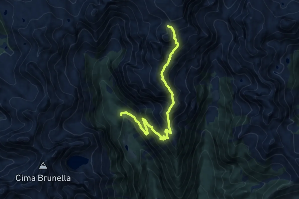
Demanding · Summit
Sentiero della Campagnassa
12.6 km · ↑ 1234 m · 5 h 39 min
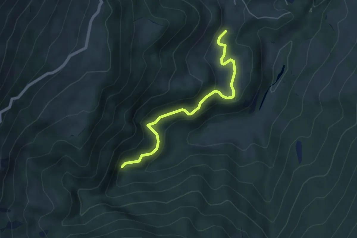
Easy · Trail
Sentiero della Canaletta
4.4 km · ↑ 239 m · 1 h 34 min
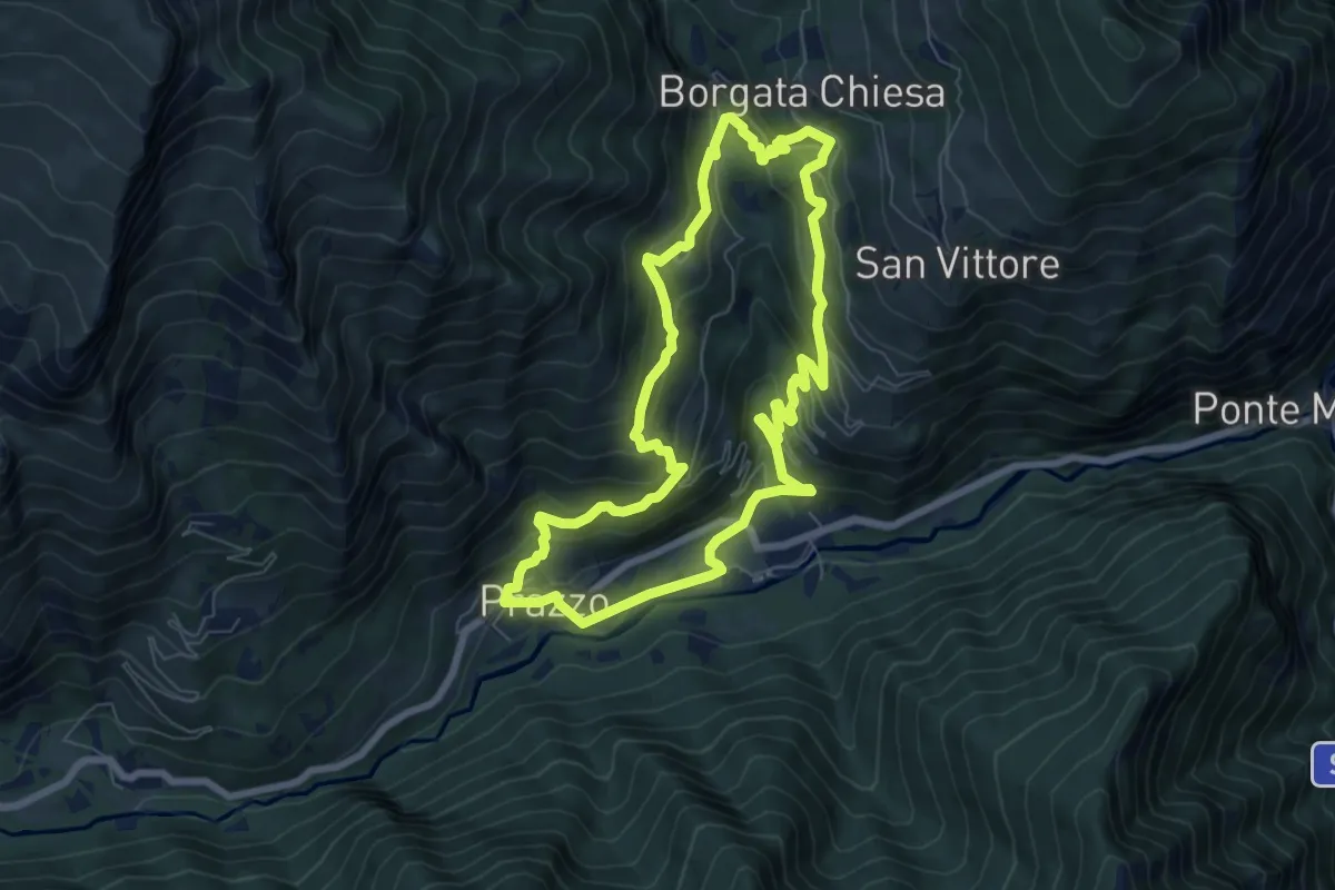
Medium · Trail
Sentiero della Canapa
7.3 km · ↑ 463 m · 2 h 50 min
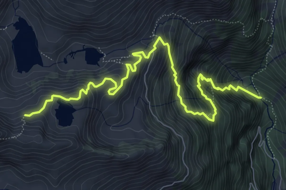
Demanding · Trail
Sentiero della Canavaccia e guide alpine Dallagiacoma
9.1 km · ↑ 865 m · 4 h 1 min
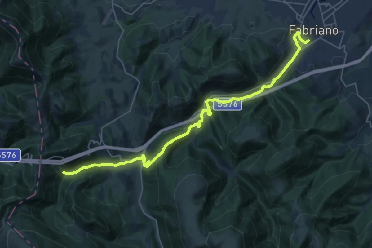
Demanding · Trail
Sentiero della Carta
23.5 km · ↑ 703 m · 7 h 5 min
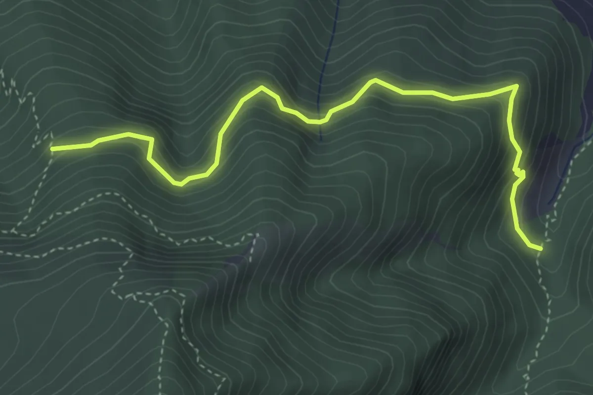
Medium · Trail
Sentiero della Casa rossa
4.8 km · ↑ 429 m · 2 h 3 min
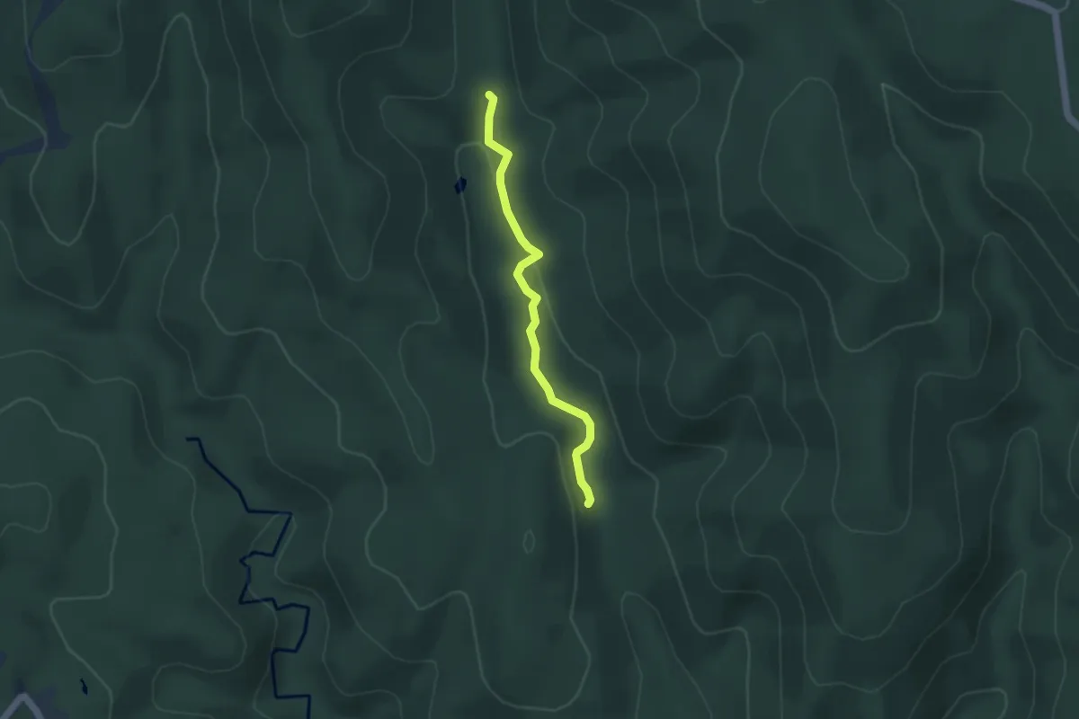
Easy · Trail
Sentiero della Caserma Vecchia
4.3 km · ↑ 123 m · 1 h 17 min
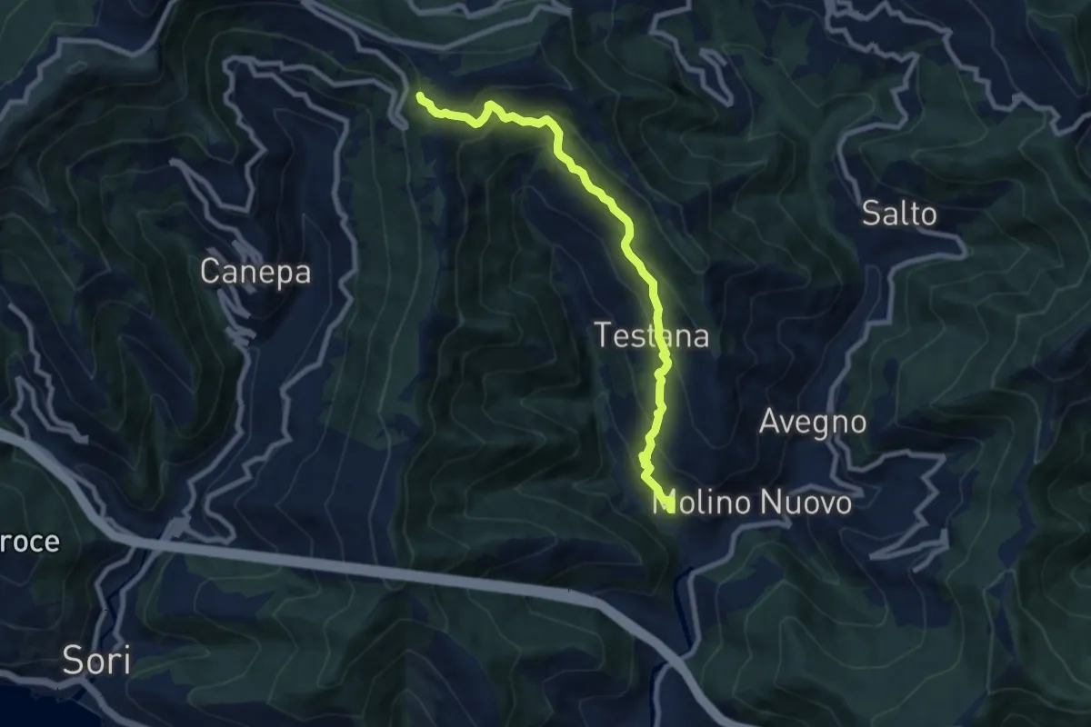
Medium · Trail
Sentiero della Castagna
8.4 km · ↑ 697 m · 3 h 29 min
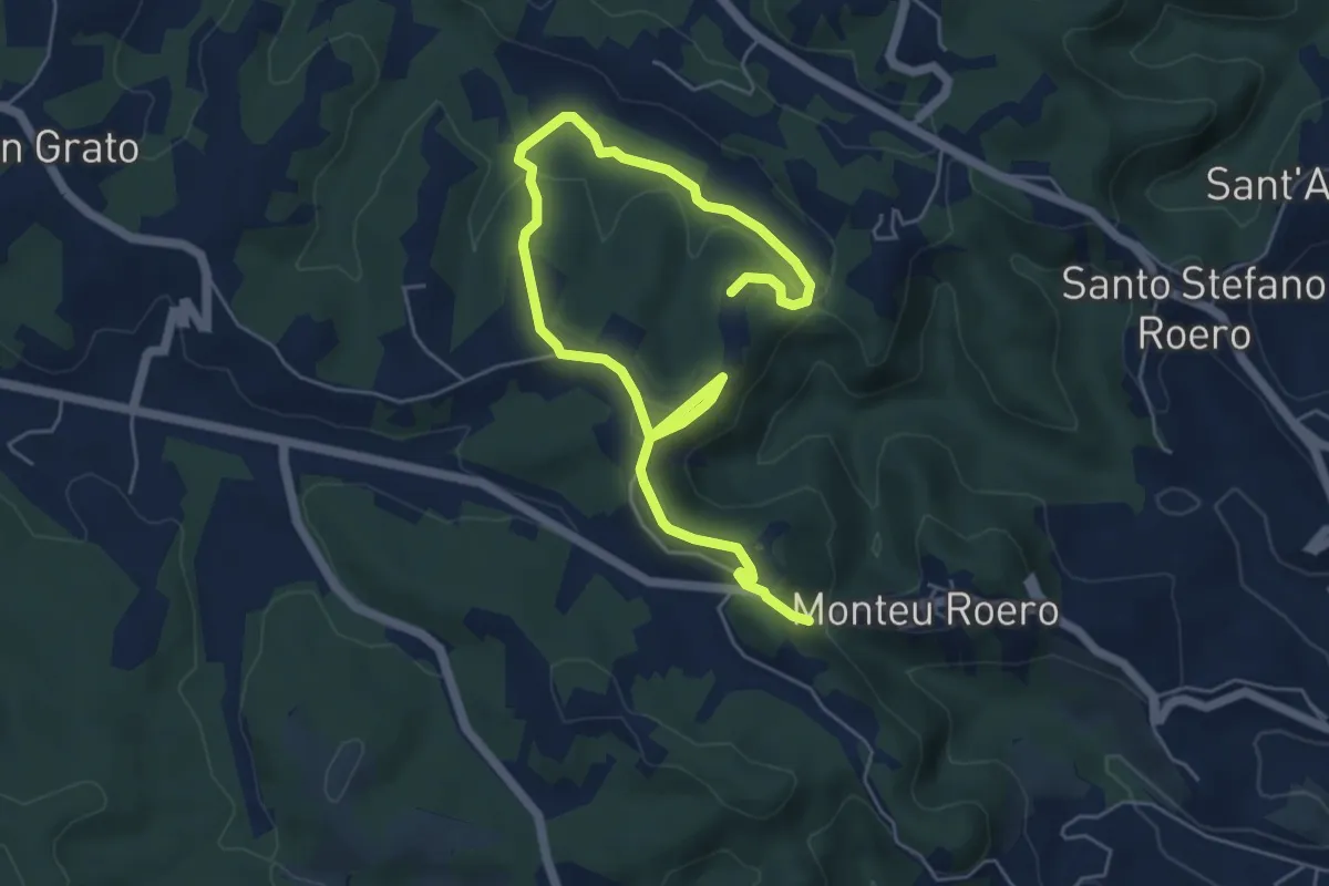
Easy · Trail
Sentiero della Castagna Granda
7.8 km · ↑ 176 m · 2 h 13 min
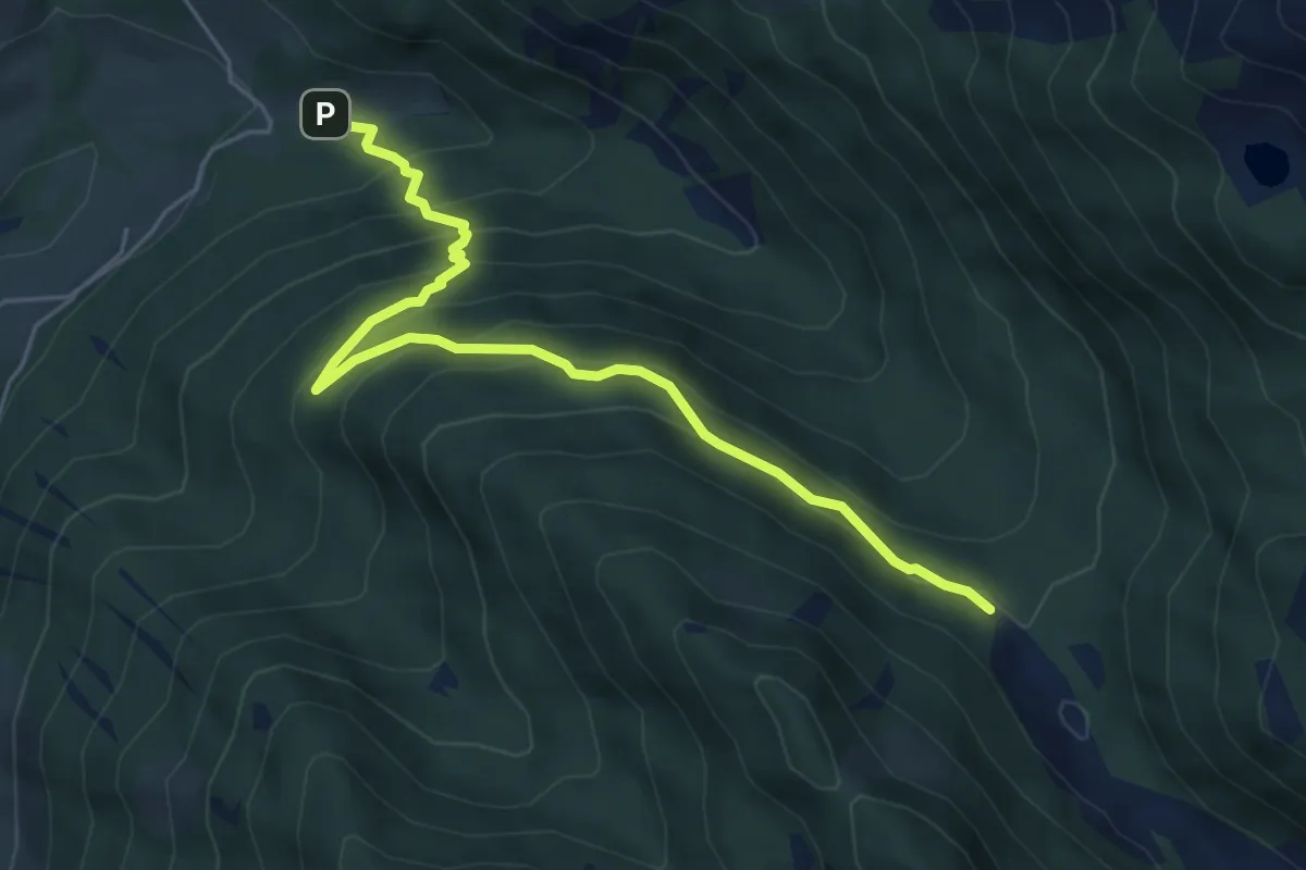
Medium · Trail
Sentiero della Cava
5.8 km · ↑ 451 m · 2 h 21 min
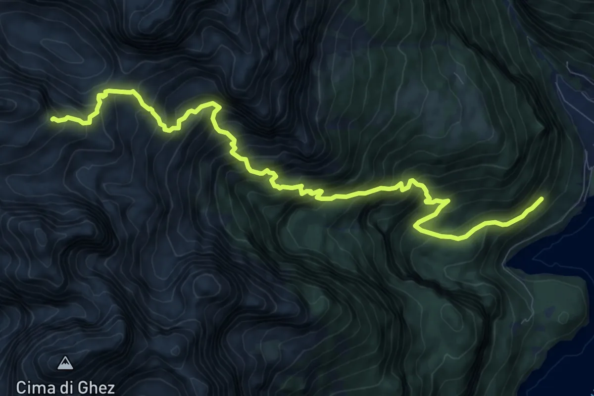
Demanding · Trail
Sentiero della Ceda
12.5 km · ↑ 1533 m · 6 h 16 min
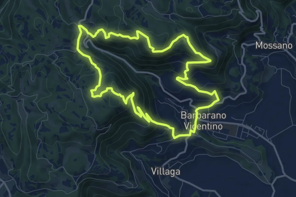
Medium · Summit
Sentiero della Cengia
9.4 km · ↑ 500 m · 3 h 25 min
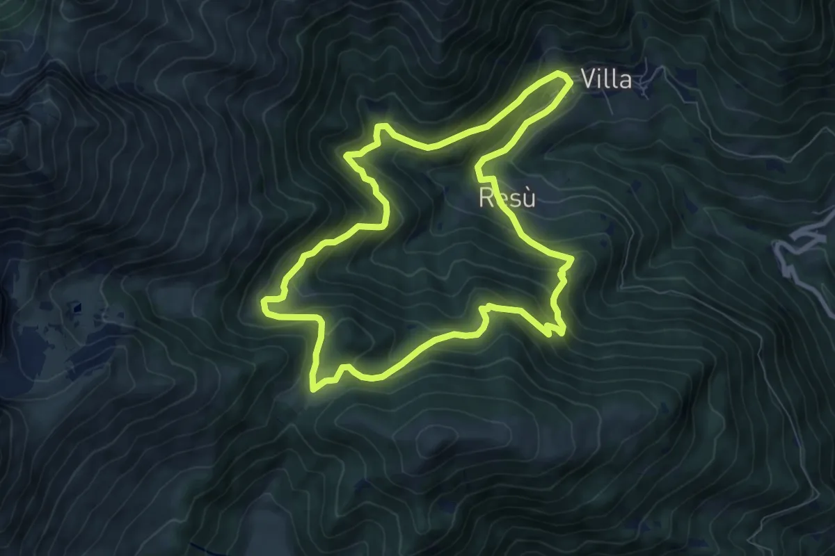
Medium · Trail
Sentiero della ciaspolata
8.1 km · ↑ 560 m · 3 h 15 min
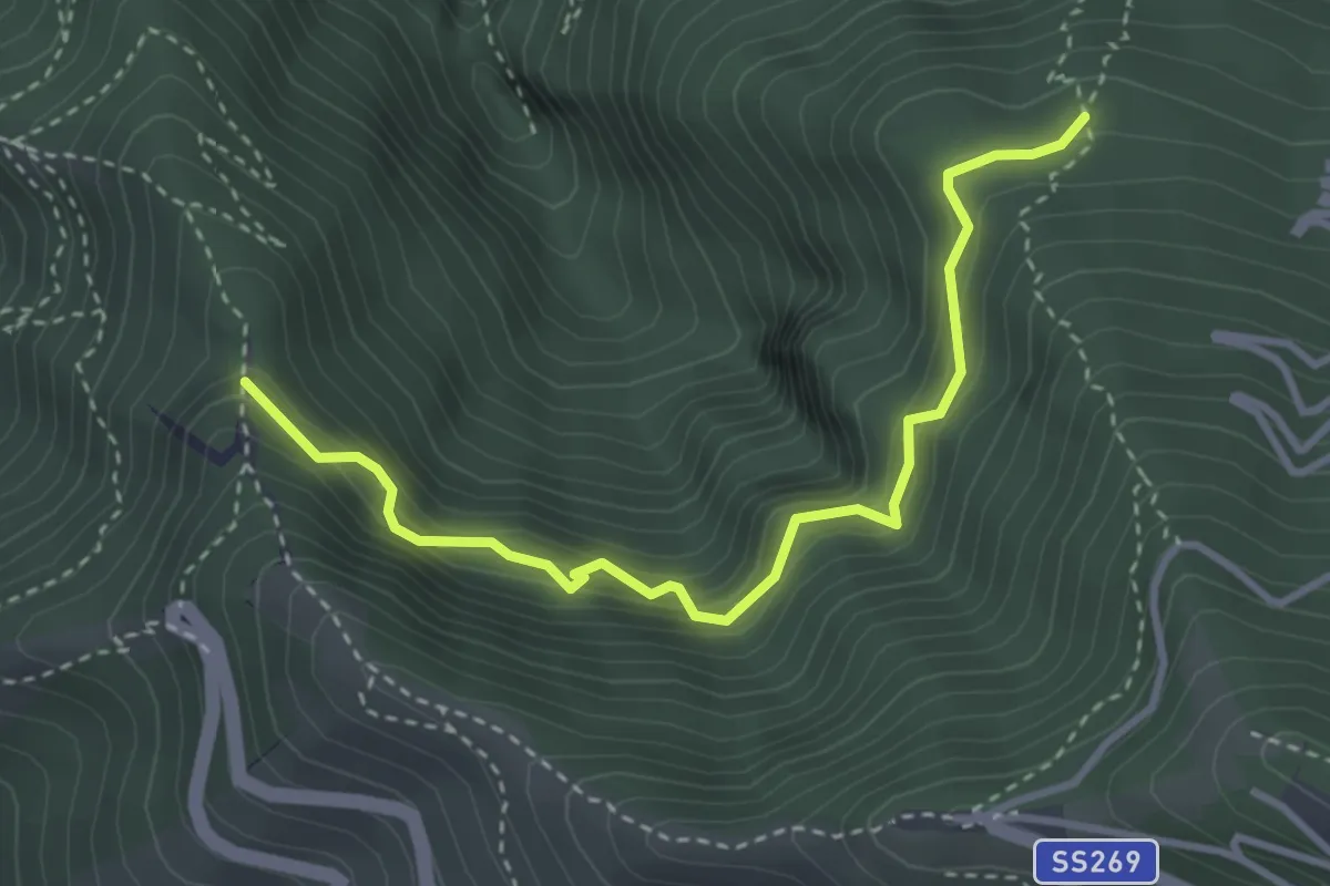
Medium · Trail
Sentiero della cisterna Menatora
3.9 km · ↑ 383 m · 1 h 45 min
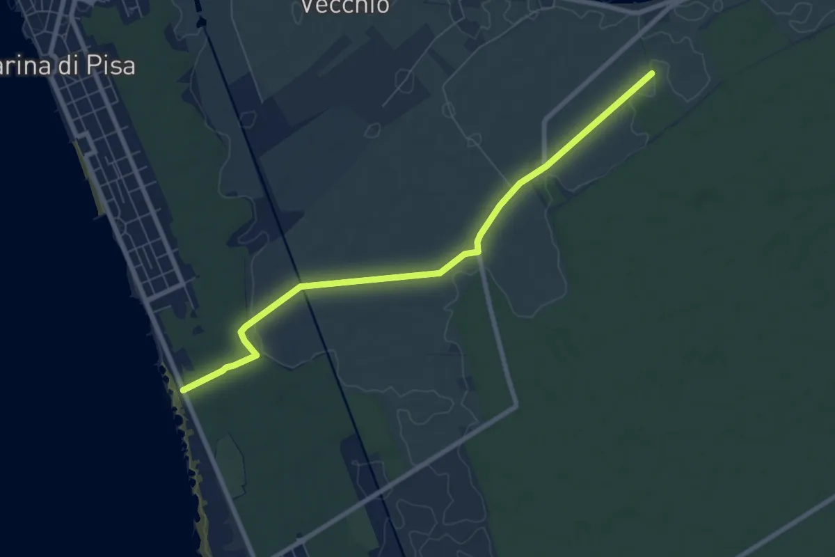
Easy · Trail
Sentiero della Colmata
7.9 km · ↑ 29 m · 1 h 56 min
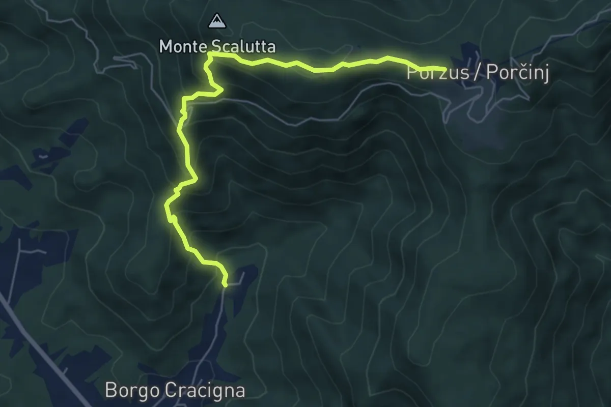
Medium · Trail
Sentiero della Comugna
5.8 km · ↑ 498 m · 2 h 27 min
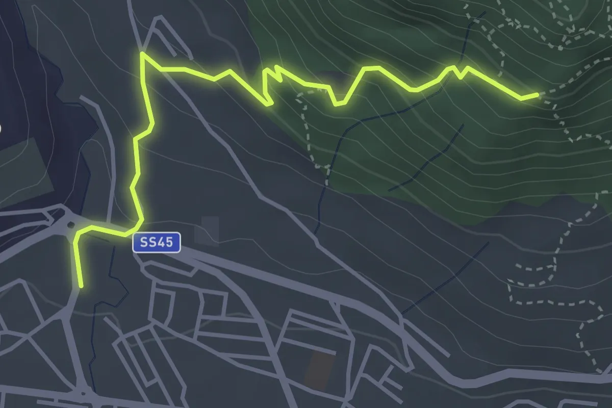
Medium · Trail
Sentiero della Corna
4.0 km · ↑ 303 m · 1 h 36 min
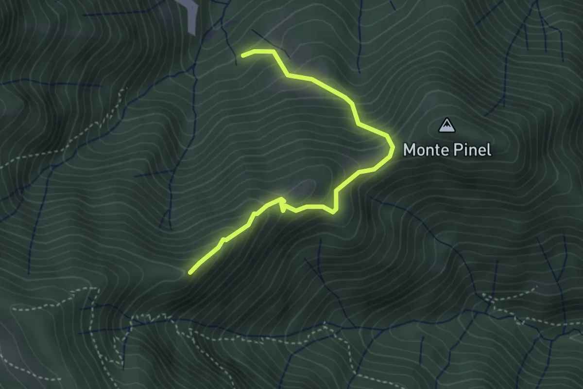
Demanding · Summit
Sentiero della Corna Rossa
3.8 km · ↑ 434 m · 1 h 50 min