Trails in Italy
25,219 hiking trails, each with its route, climb, walking time and grade.
All trails, page 215 of 526
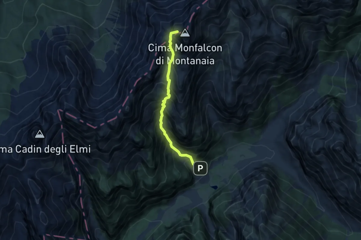
Demanding · Summit
Via Alpina Yellow B17
6.8 km · ↑ 1190 m · 4 h 11 min
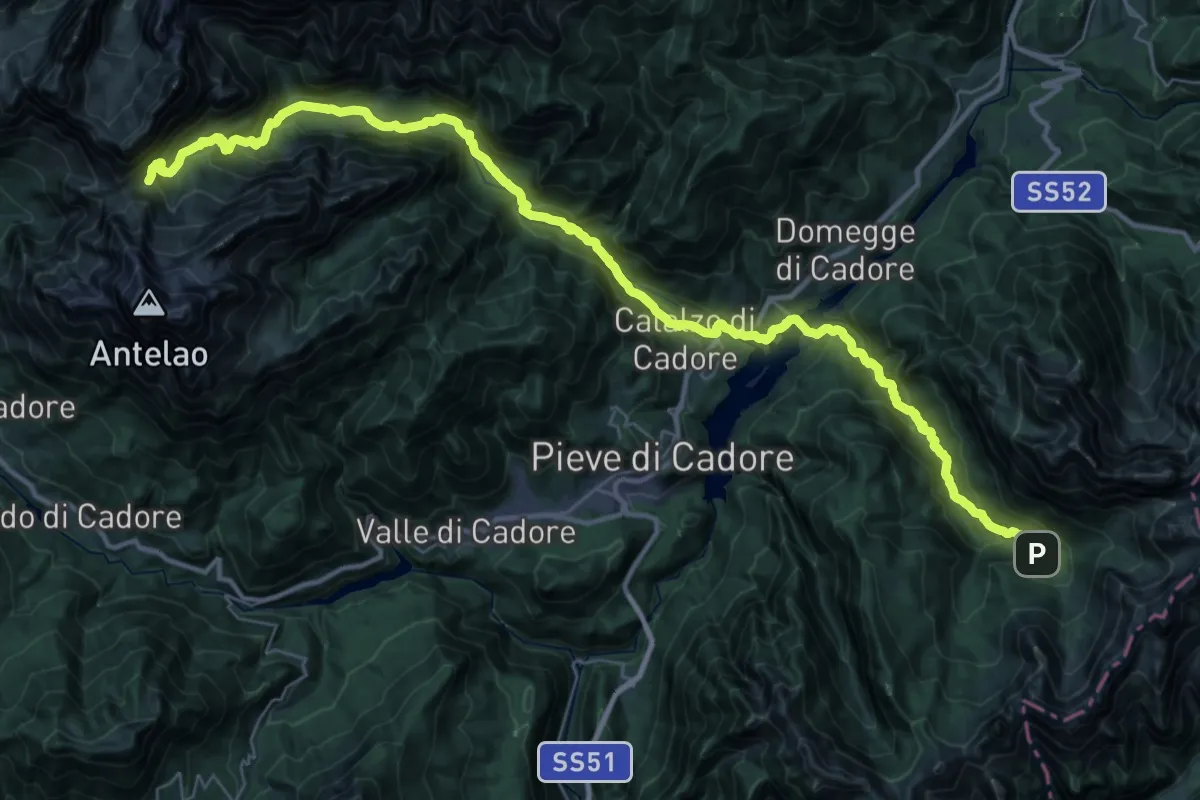
Demanding · Cabin
Via Alpina Yellow B18
22.6 km · ↑ 1515 m · 8 h 33 min
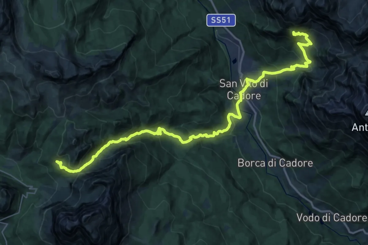
Demanding · Summit
Via Alpina Yellow B19
31.0 km · ↑ 2095 m · 11 h 51 min
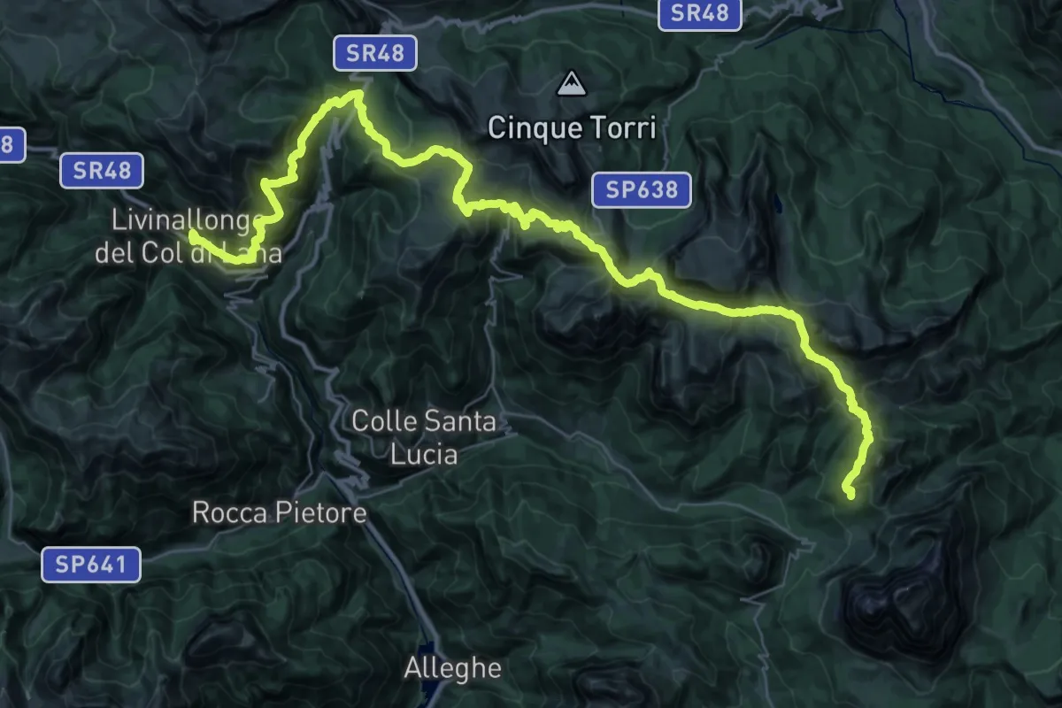
Demanding · Cabin
Via Alpina Yellow B20
24.7 km · ↑ 1704 m · 9 h 39 min
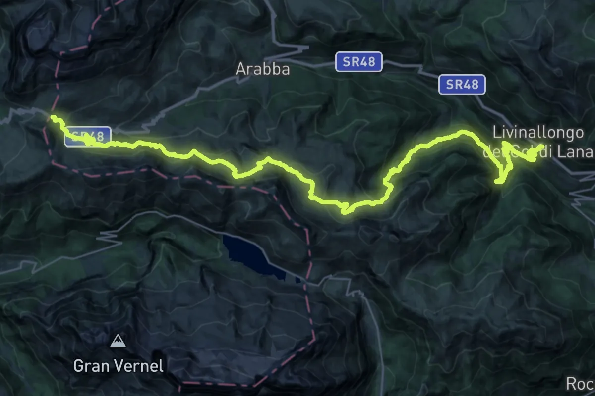
Demanding · Trail
Via Alpina Yellow B21
18.0 km · ↑ 1573 m · 7 h 31 min
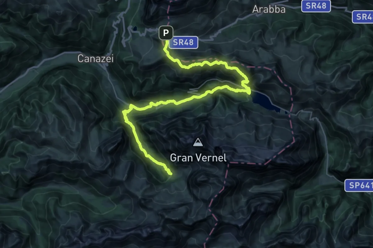
Demanding · Cabin
Via Alpina Yellow B22
18.4 km · ↑ 916 m · 6 h 41 min
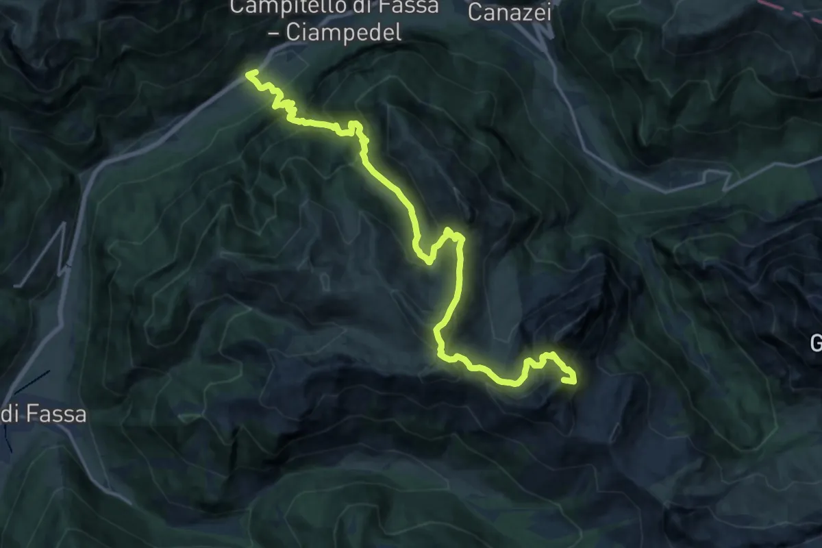
Demanding · Summit
Via Alpina Yellow B23
19.8 km · ↑ 1711 m · 8 h 22 min
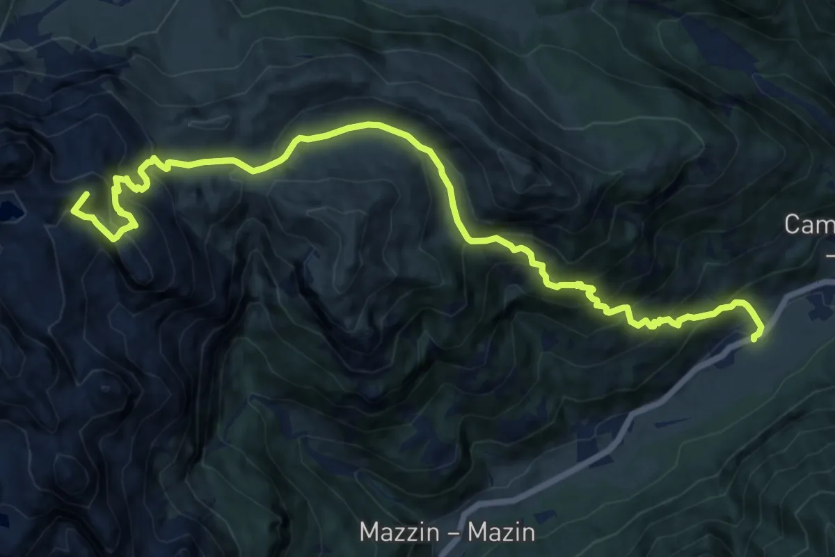
Demanding · Summit
Via Alpina Yellow B24
15.0 km · ↑ 1313 m · 6 h 24 min
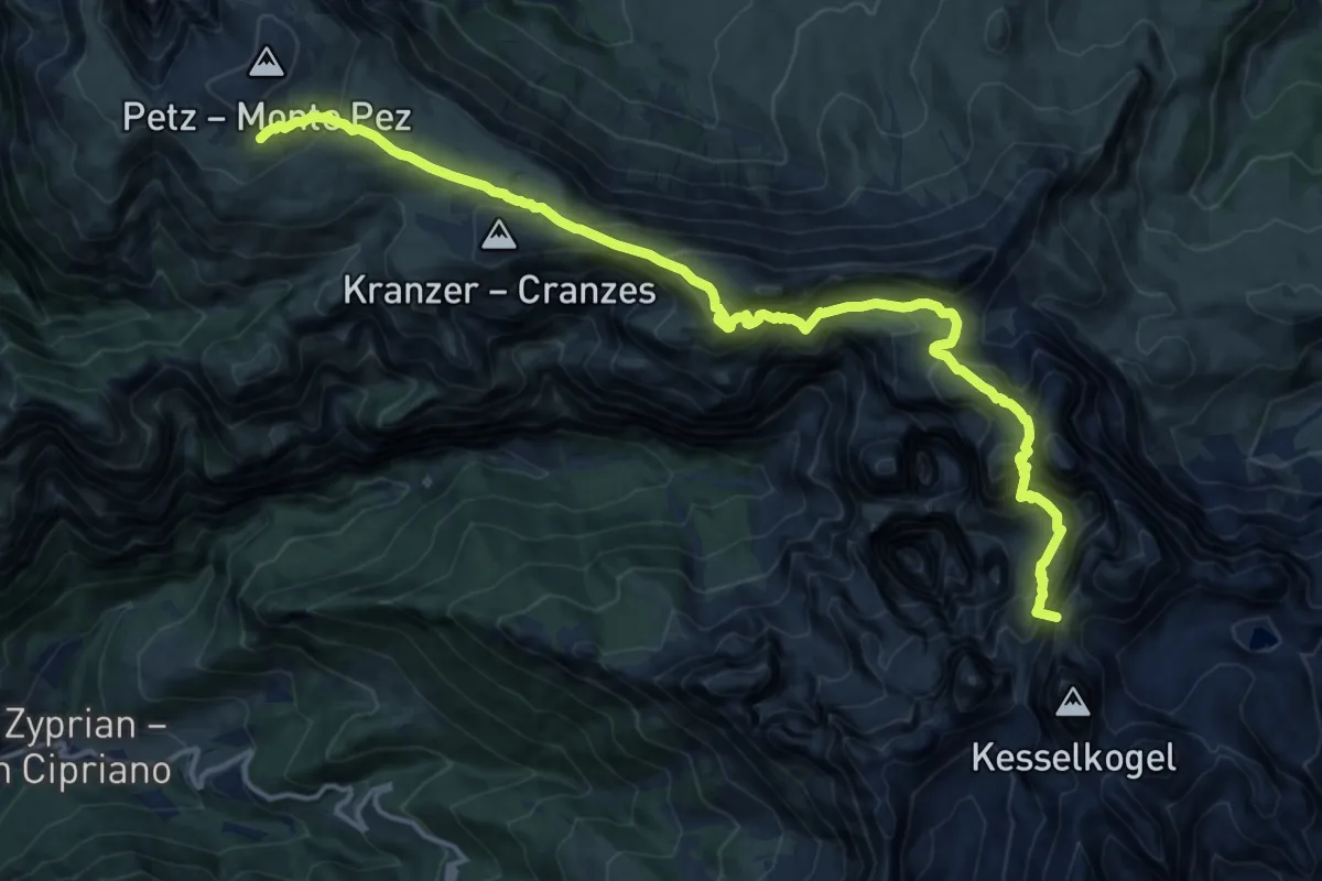
Demanding · Summit
Via Alpina Yellow B25
16.8 km · ↑ 1389 m · 6 h 59 min
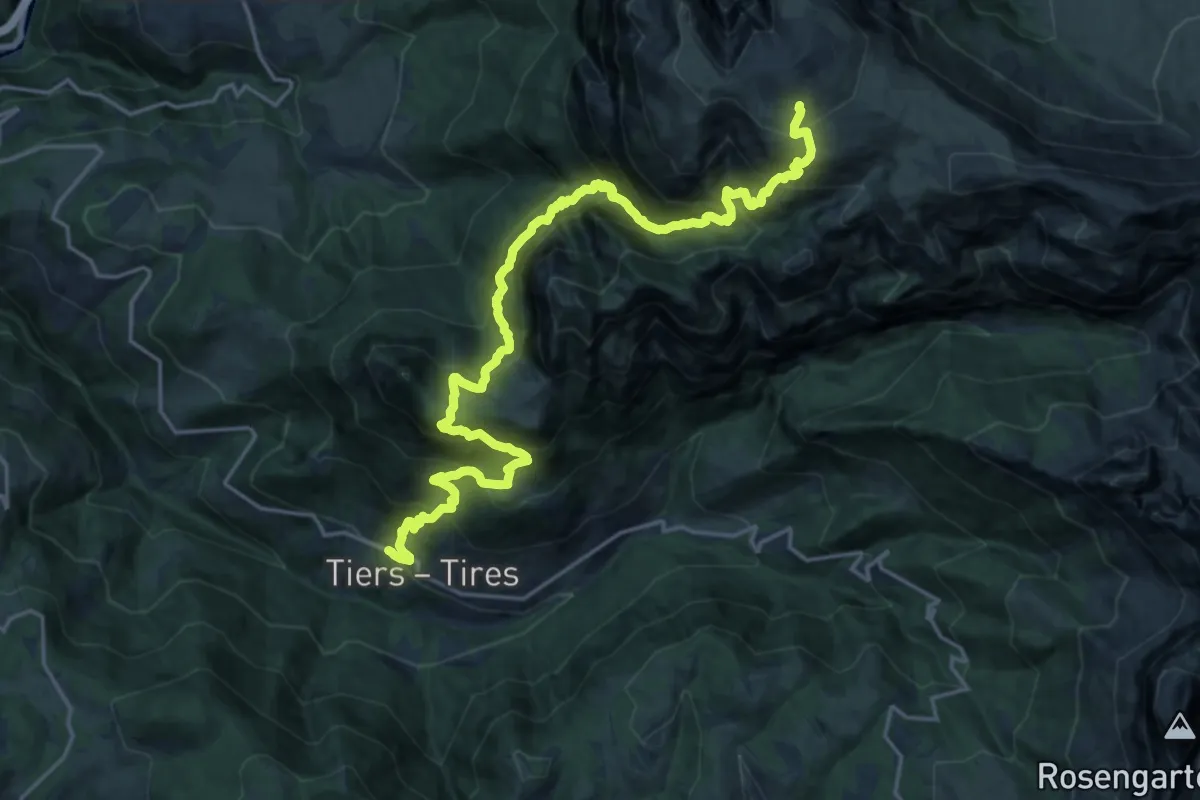
Demanding · Cabin
Via Alpina Yellow B26
11.5 km · ↑ 1903 m · 6 h 17 min
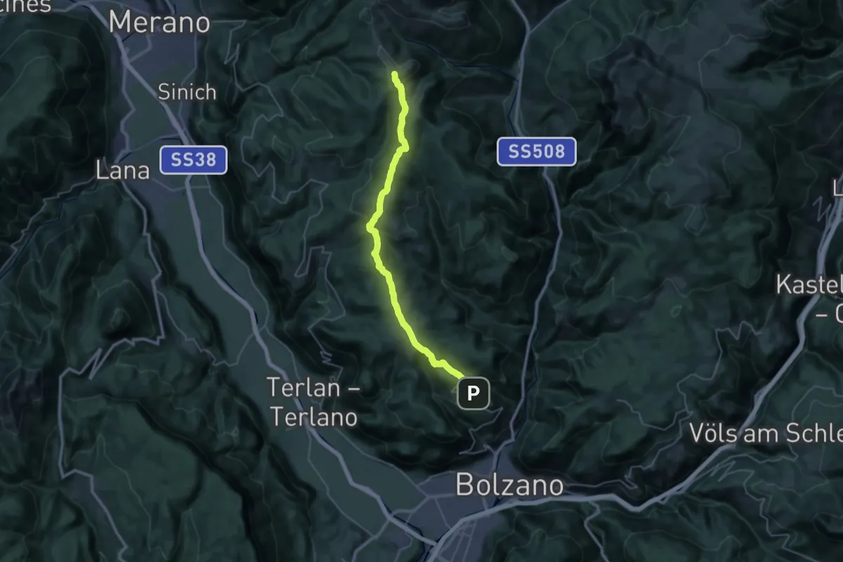
Demanding · Summit
Via Alpina Yellow B27
33.1 km · ↑ 1327 m · 10 h 42 min
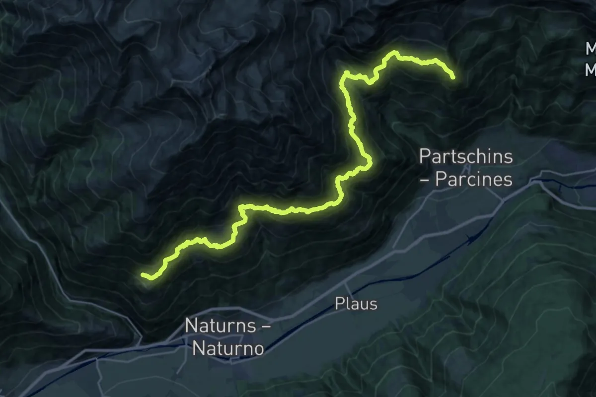
Demanding · Summit
Via Alpina Yellow B29
28.0 km · ↑ 2740 m · 12 h 32 min
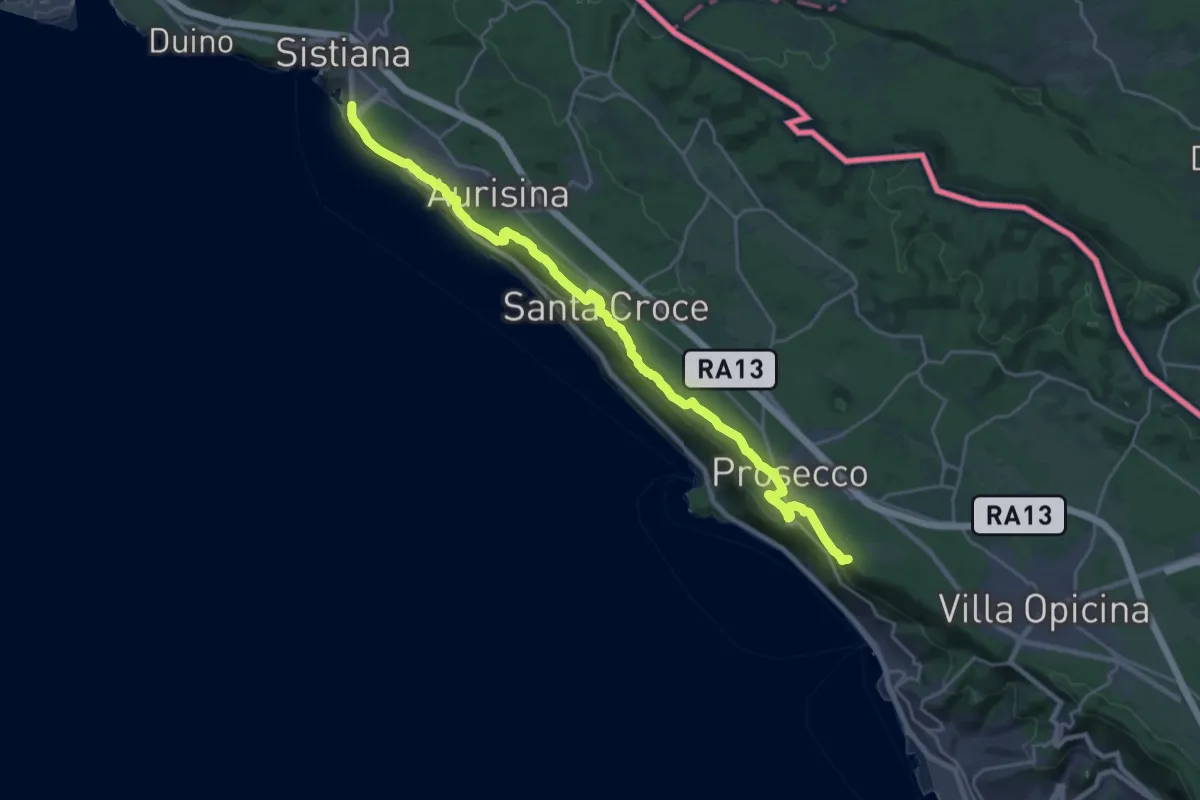
Demanding · Summit
Via Alpina Yellow B3
26.7 km · ↑ 520 m · 7 h 26 min
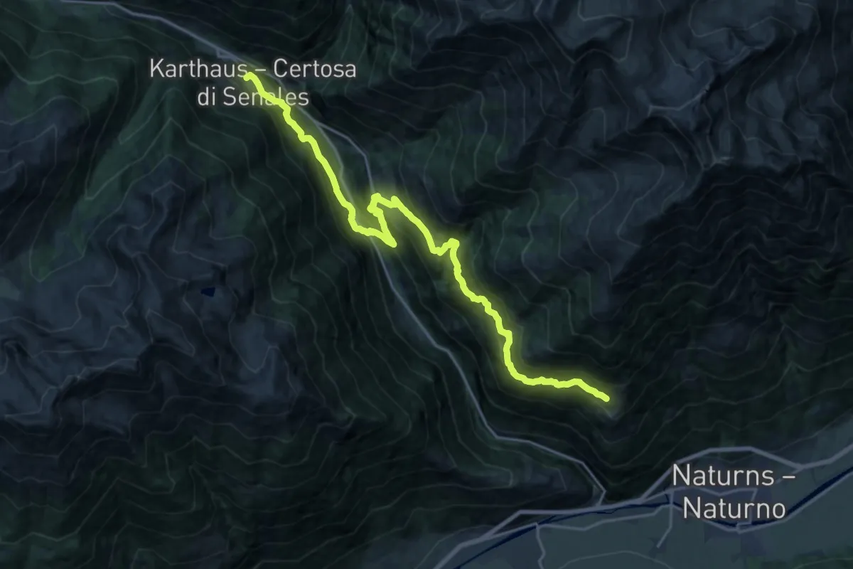
Demanding · Trail
Via Alpina Yellow B30
10.7 km · ↑ 903 m · 4 h 34 min
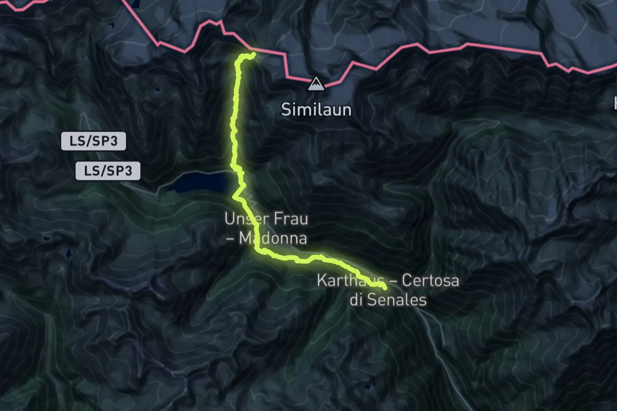
Demanding · Cabin
Via Alpina Yellow B31
13.5 km · ↑ 2008 m · 6 h 53 min
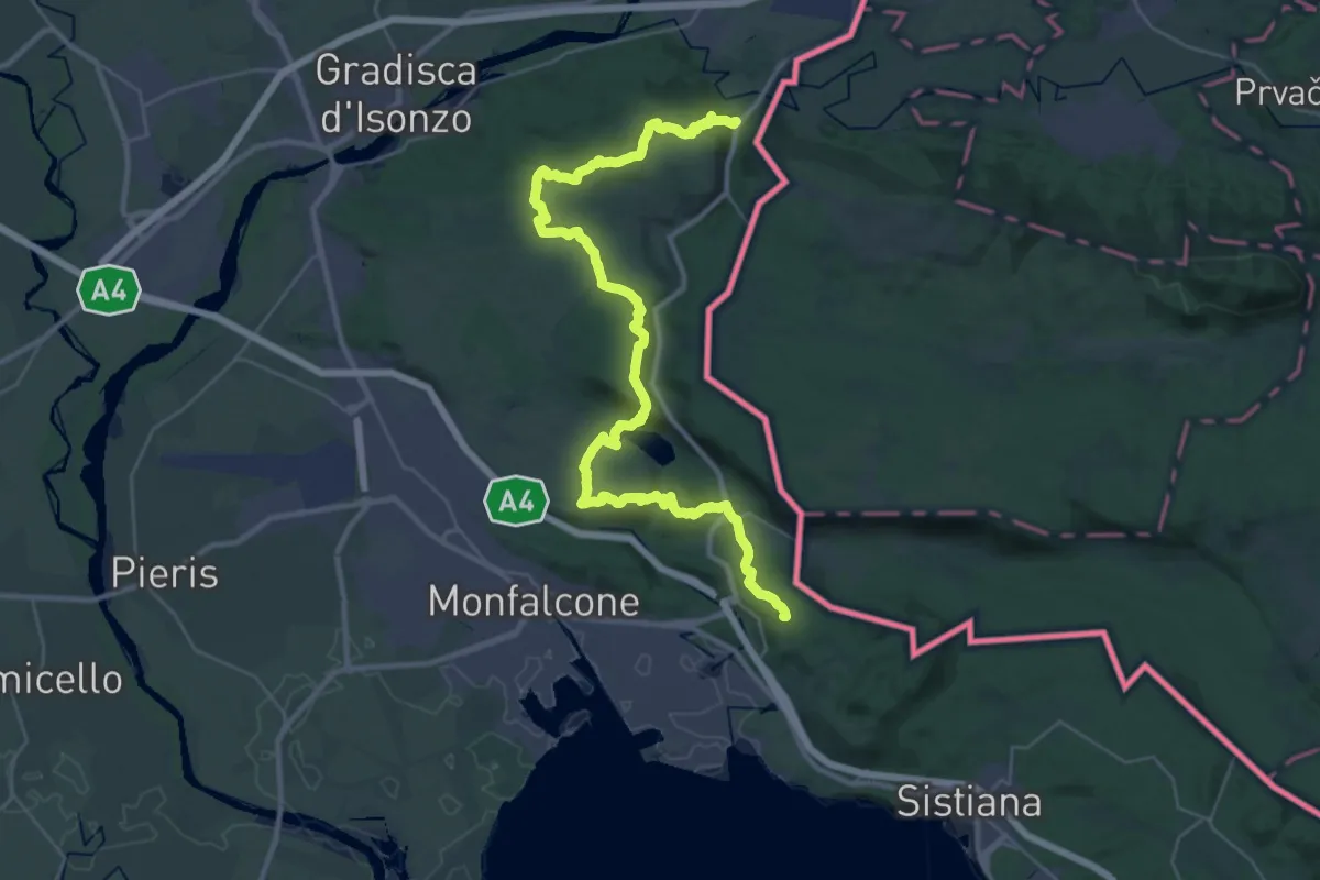
Demanding · Summit
Via Alpina Yellow B4
40.7 km · ↑ 1037 m · 11 h 51 min
Demanding · Summit
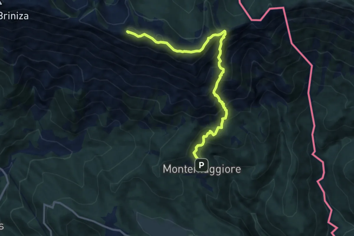
Via Alpina Yellow B9
9.5 km · ↑ 914 m · 4 h 13 min
Medium · Trail
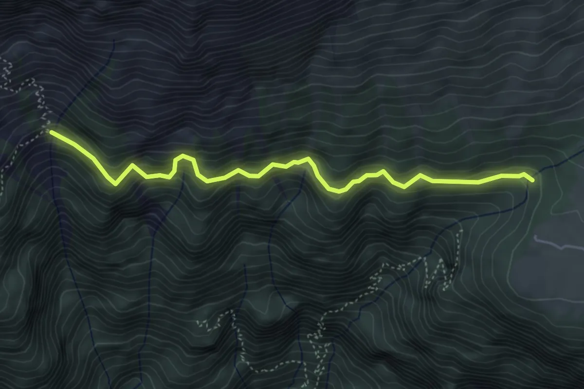
Via Alta Raccolana
4.8 km · ↑ 404 m · 2 h 1 min
Expert · Summit
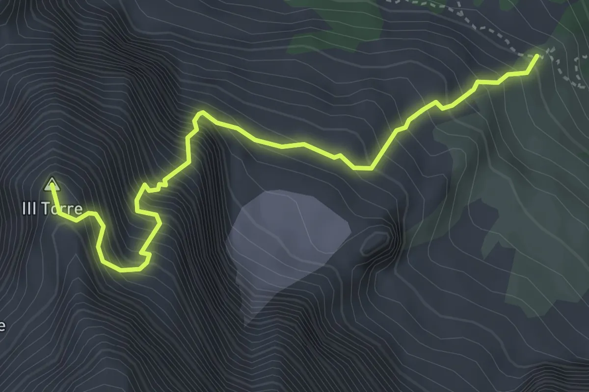
Via Amalia
4.2 km · ↑ 1052 m · 3 h 16 min
Easy · Trail
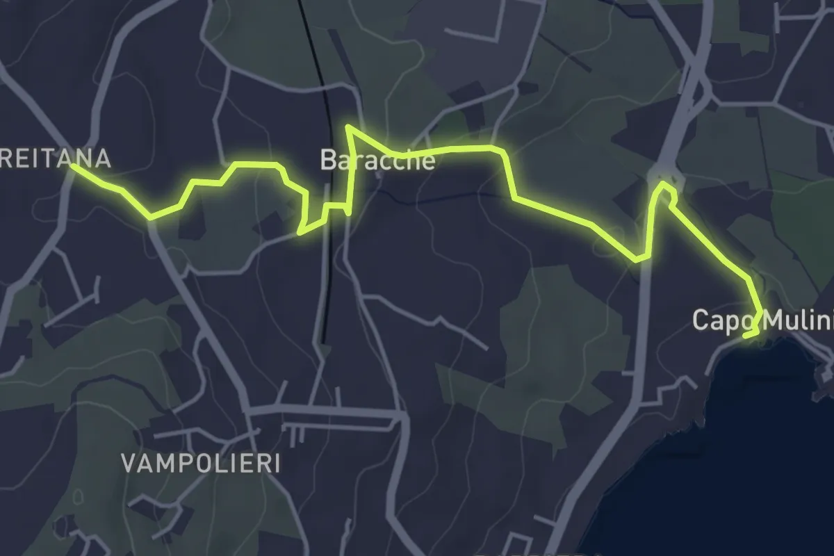
Via Antica dei Mulini
6.1 km · ↑ 142 m · 1 h 45 min
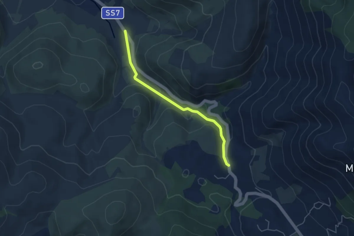
Easy · Trail
Via Appia Antica nel Parco Naturale dei Monti Aurunci
4.5 km · ↑ 134 m · 1 h 22 min
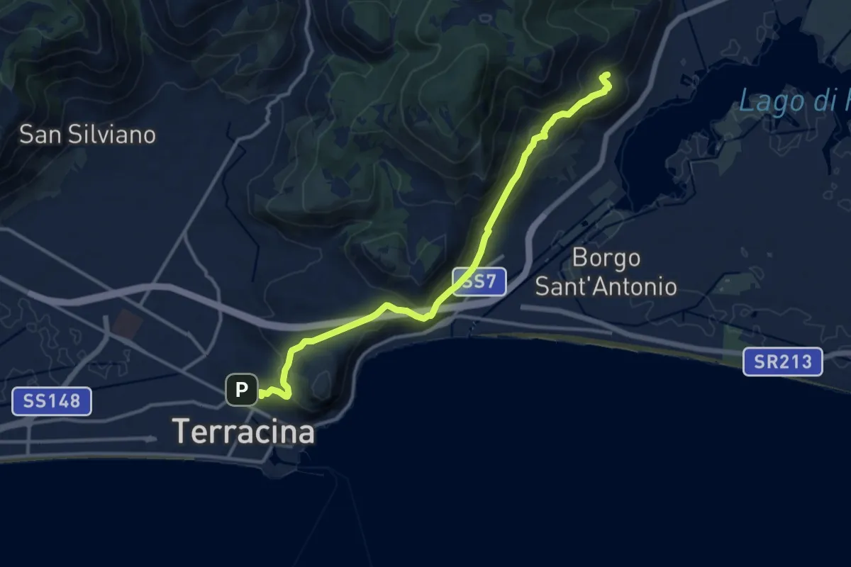
Medium · Trail
Via Appia Superiore
14.2 km · ↑ 675 m · 4 h 49 min
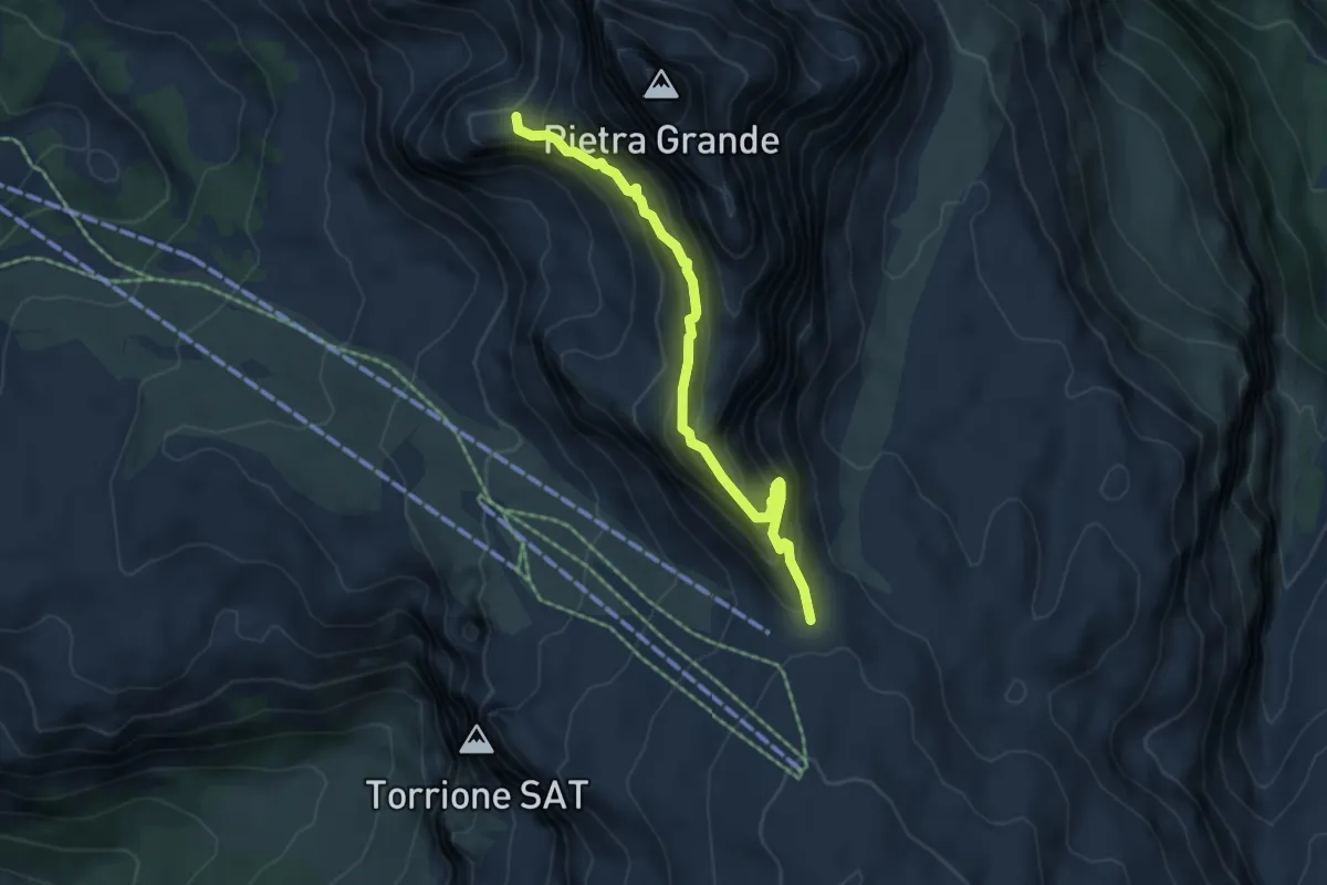
Demanding · Trail
Via attrezzata "Gustavo e Natale Vidi"
5.0 km · ↑ 540 m · 2 h 21 min
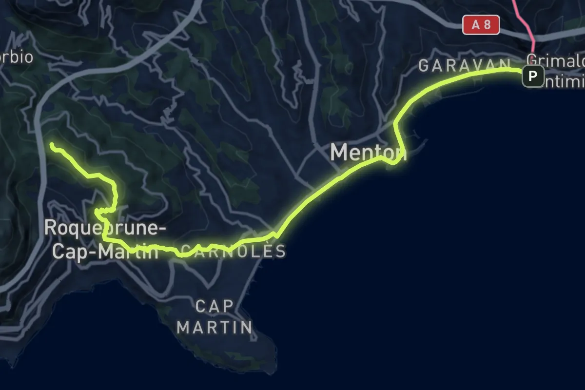
Demanding · Summit
Via Aurelia, Menton - Roquebrune
18.8 km · ↑ 605 m · 5 h 44 min
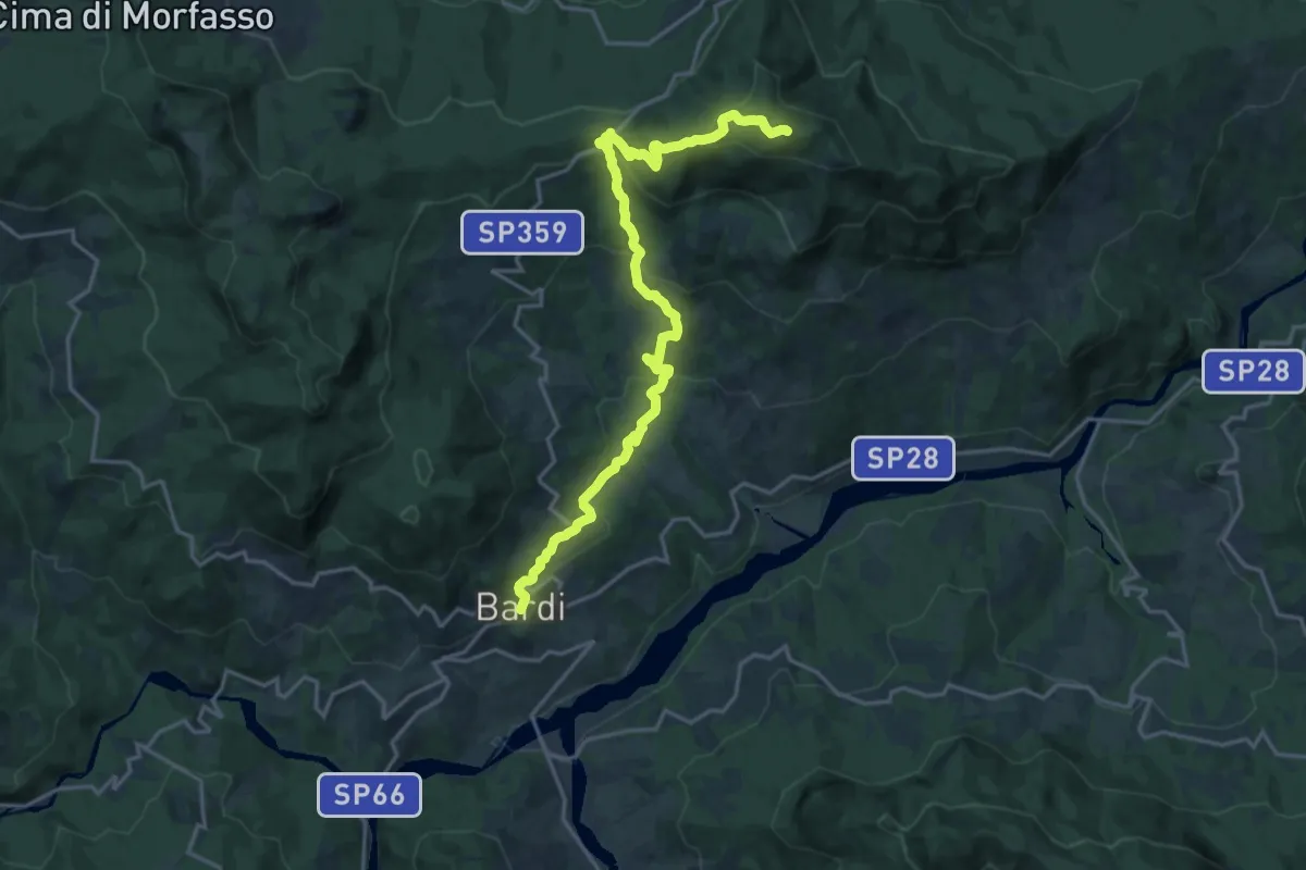
Demanding · Summit
Via Bardigiana
20.7 km · ↑ 906 m · 6 h 51 min
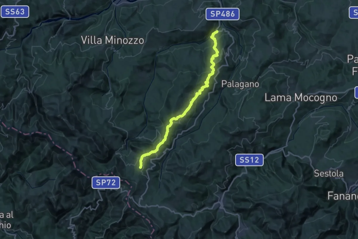
Demanding · Summit
Via Bibulca
46.7 km · ↑ 1855 m · 15 h 3 min
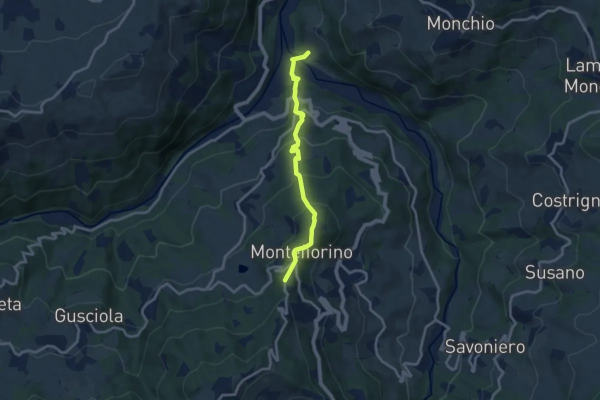
Medium · Trail
Via Bibulca
7.6 km · ↑ 499 m · 2 h 53 min
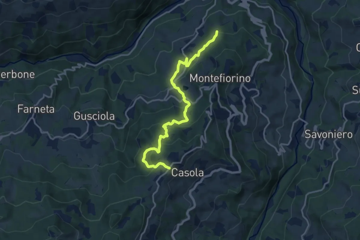
Medium · Trail
Via Bibulca - Rubbiano - La Verna
11.7 km · ↑ 623 m · 4 h 6 min
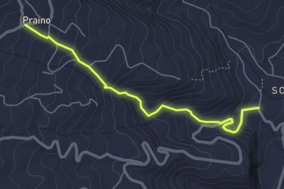
Medium · Trail
via Cacocciola
5.0 km · ↑ 410 m · 2 h 4 min
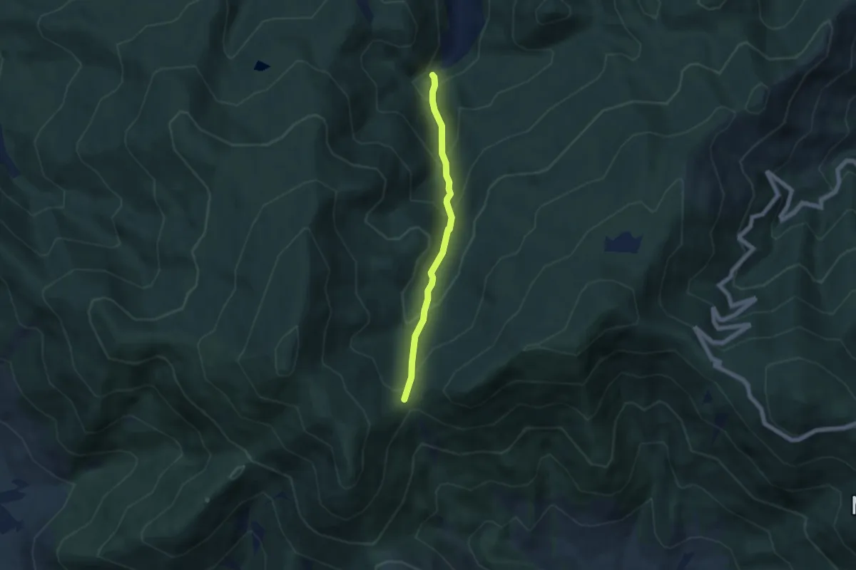
Medium · Trail
Via Calcesana: da Vorno a Campo di Croce
5.0 km · ↑ 425 m · 2 h 6 min
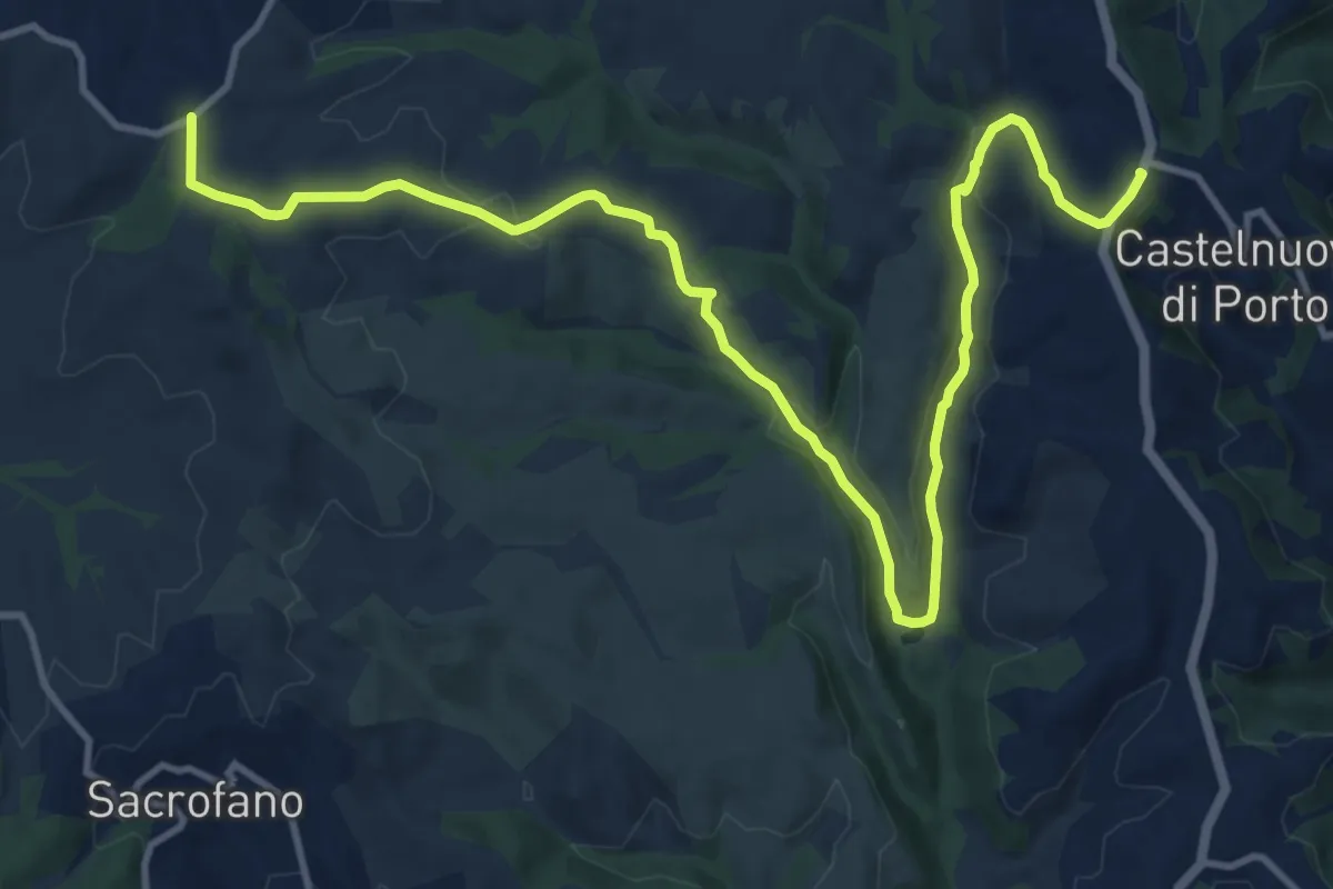
Medium · Trail
Via Campagnanese-Castelnuovo di Porto
16.3 km · ↑ 364 m · 4 h 38 min
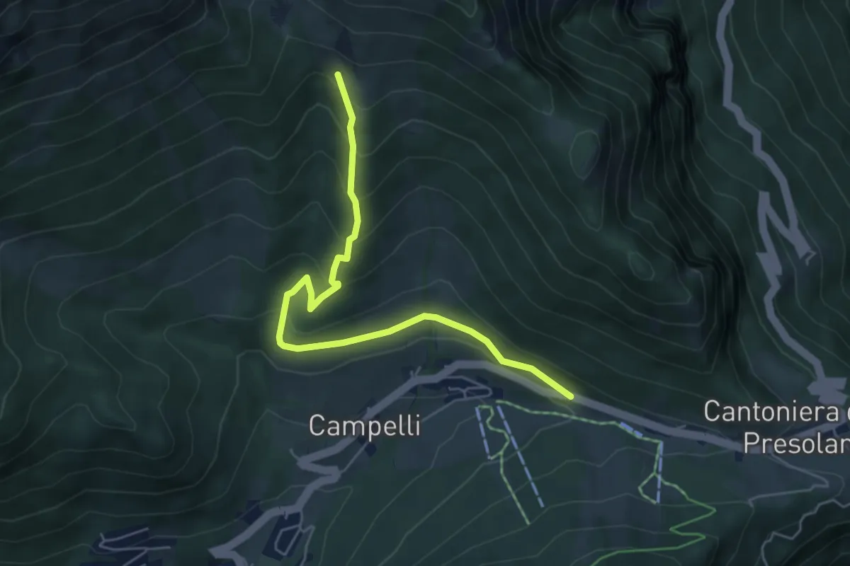
Medium · Cabin
Via Cassinelli
5.5 km · ↑ 371 m · 2 h 7 min
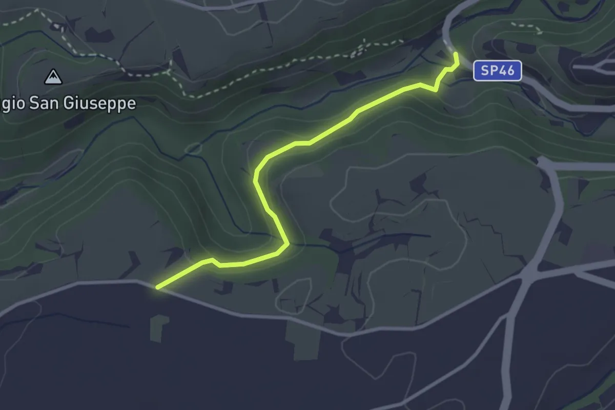
Easy · Trail
Via cava dei Fratenuti
2.9 km · ↑ 102 m · 55 min
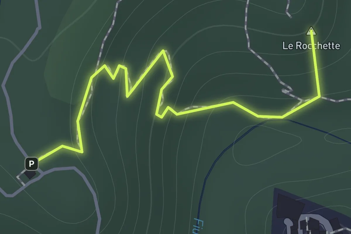
Easy · Summit
Via Cava di San Rocco
1.3 km · ↑ 85 m · 30 min
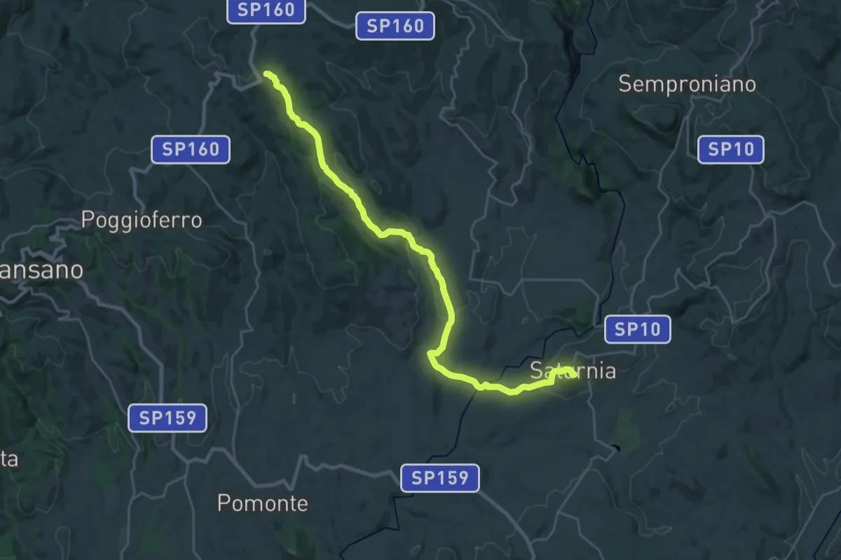
Medium · Trail
Via Clodia
14.3 km · ↑ 509 m · 4 h 31 min
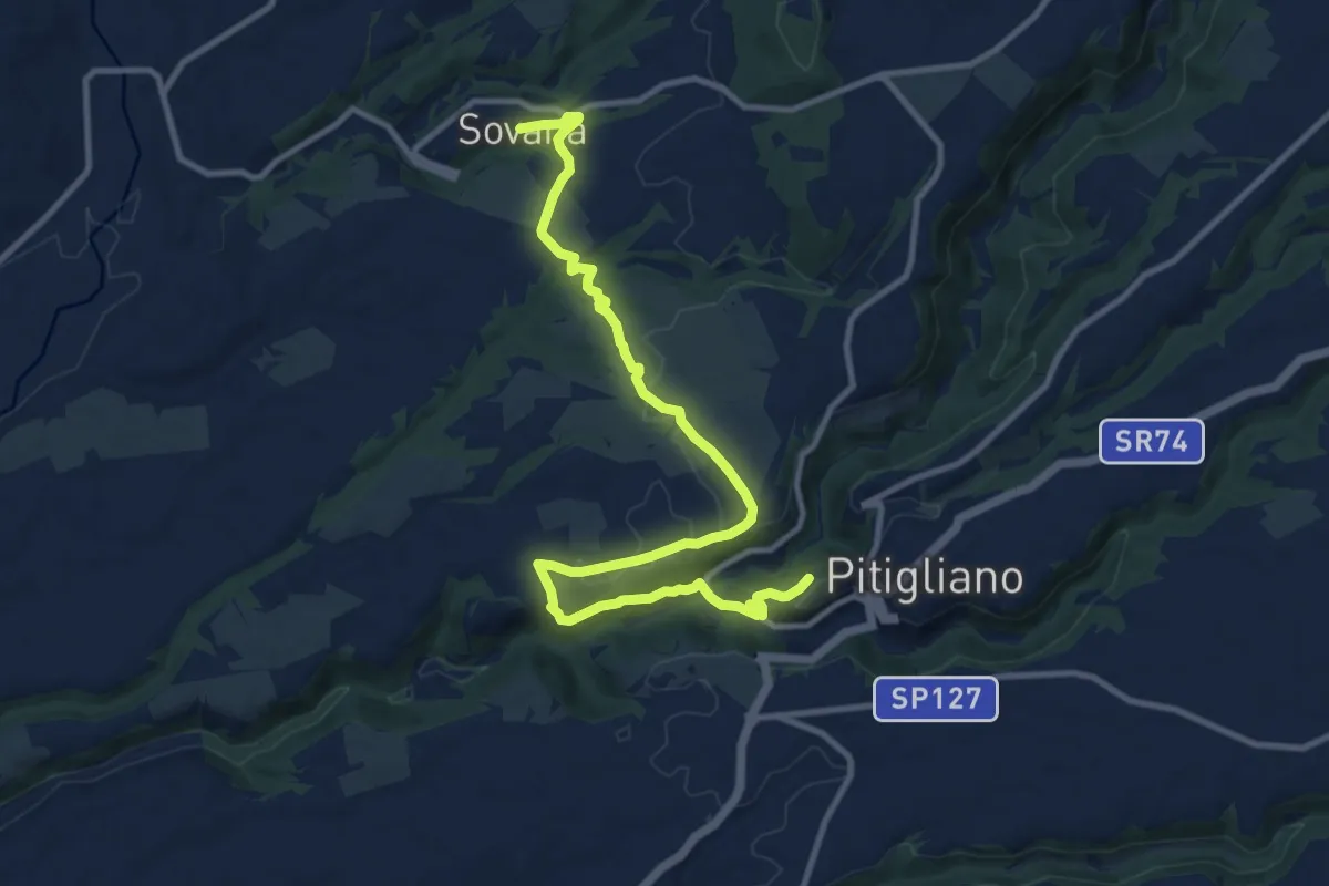
Medium · Trail
Via Clodia
13.6 km · ↑ 281 m · 3 h 50 min
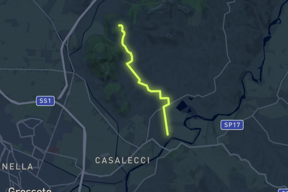
Medium · Trail
Via Clodia
13.9 km · ↑ 211 m · 3 h 44 min
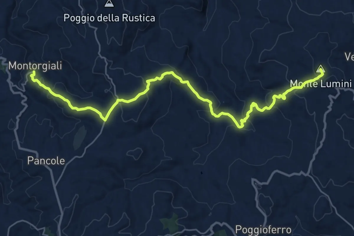
Demanding · Summit
Via Clodia
22.8 km · ↑ 870 m · 7 h 16 min
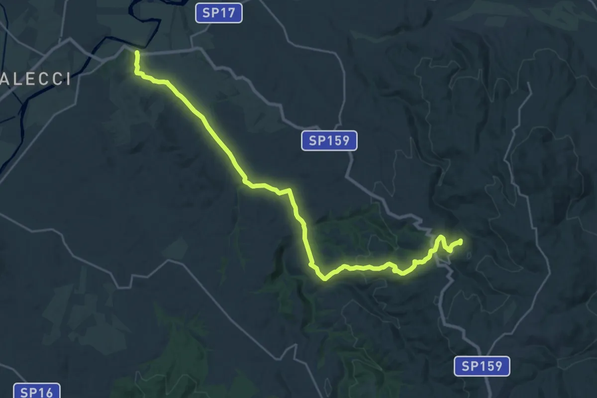
Demanding · Trail
Via Clodia
25.4 km · ↑ 509 m · 7 h 6 min
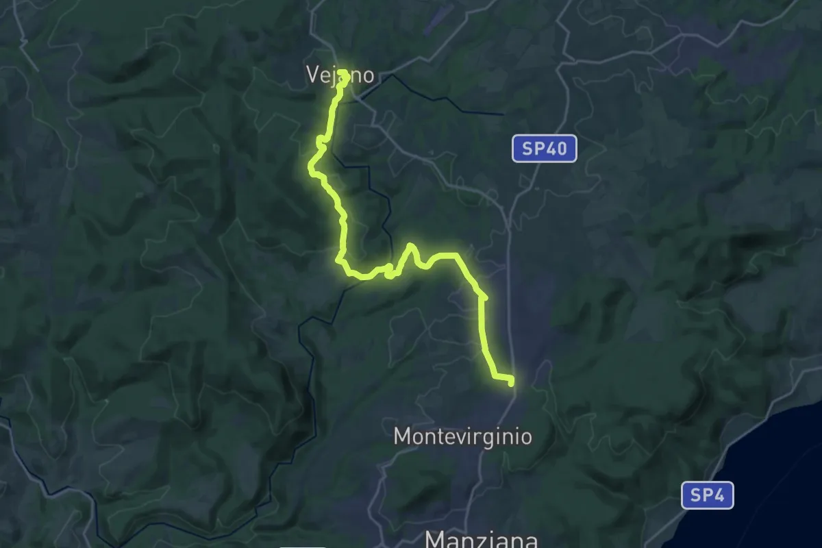
Demanding · Trail
Via Clodia Stage 1
23.8 km · ↑ 465 m · 6 h 38 min
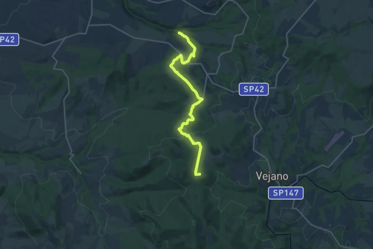
Medium · Summit
Via Clodia Stage 2
15.0 km · ↑ 376 m · 4 h 22 min
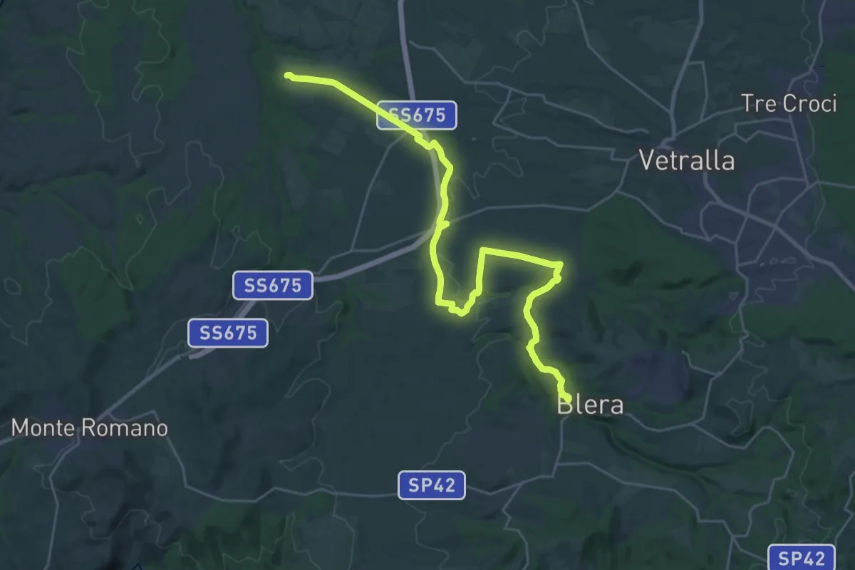
Medium · Trail
Via Clodia Stage 3
15.7 km · ↑ 111 m · 4 h 13 min
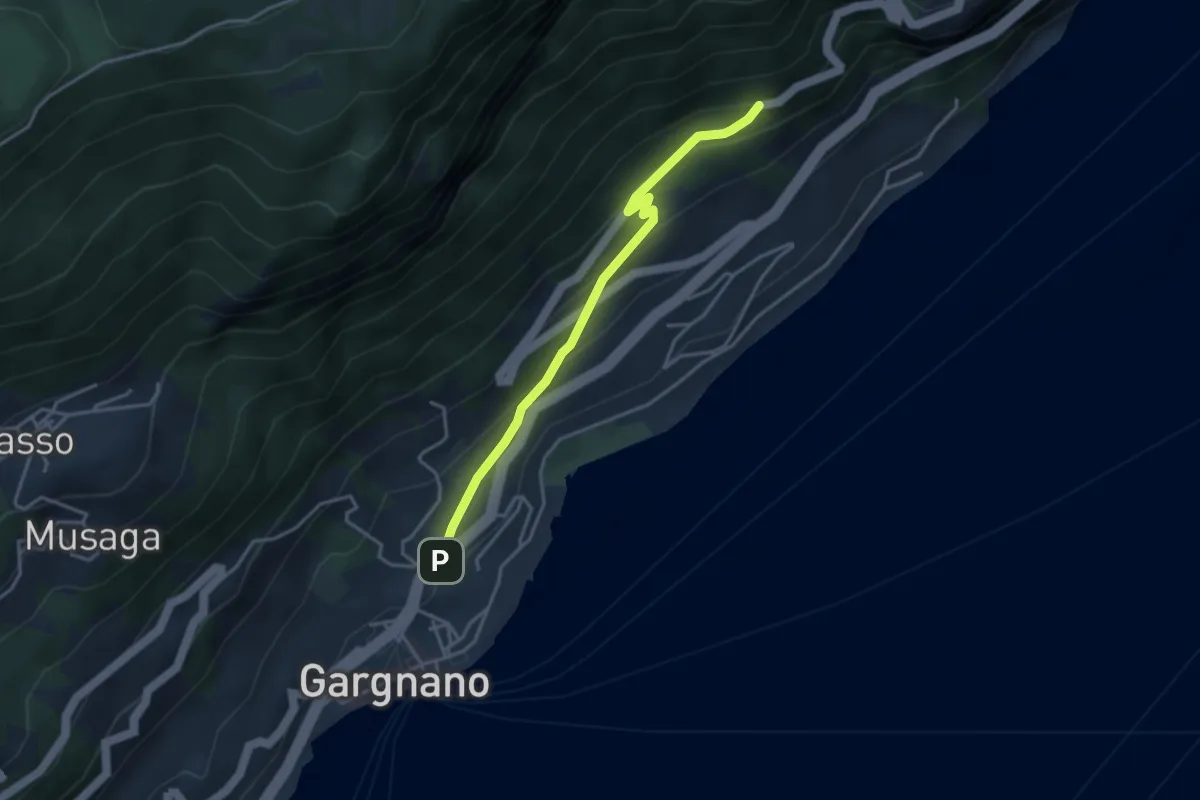
Easy · Trail
Via Crocifisso - Gargnano
1.8 km · ↑ 193 m · 46 min
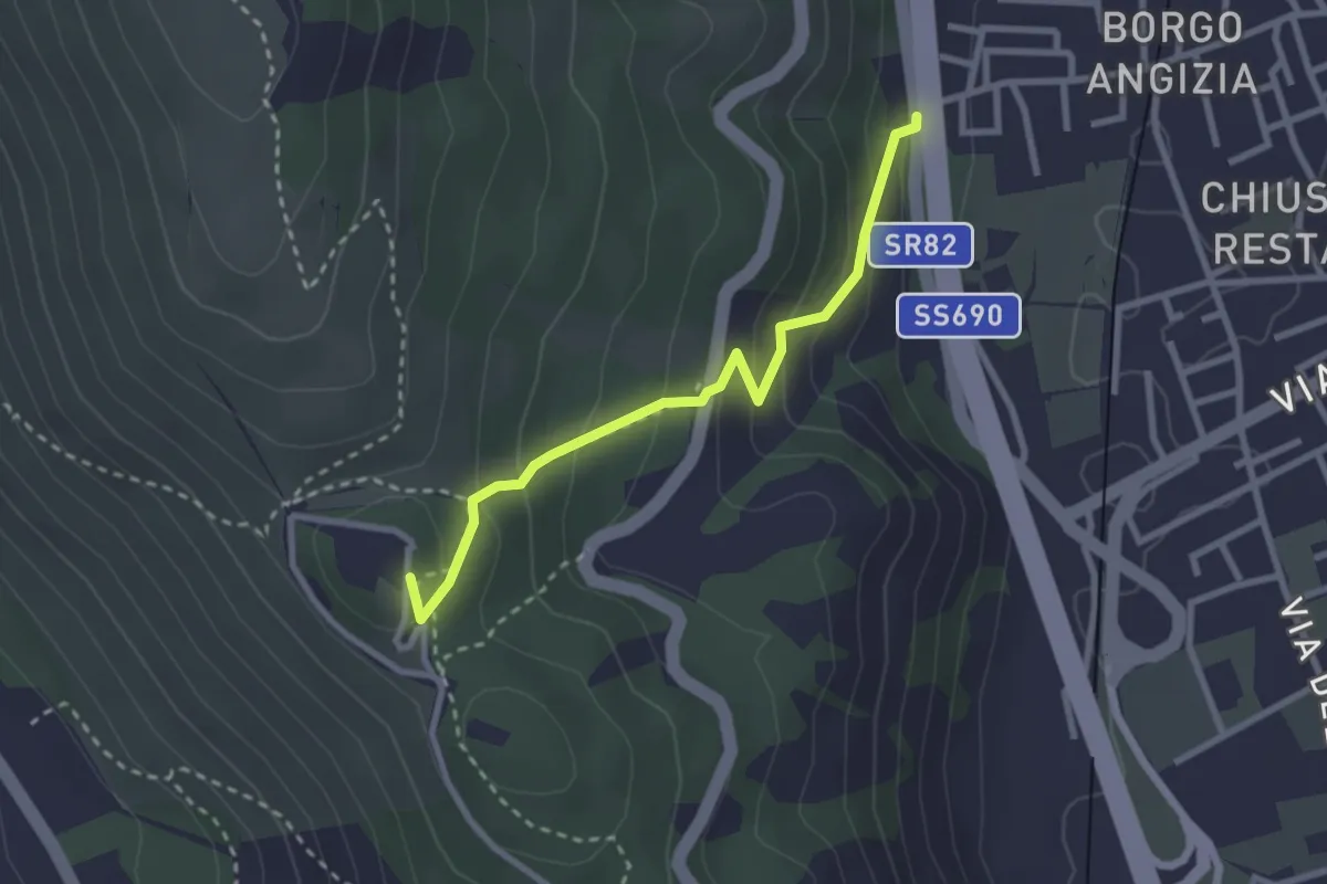
Easy · Trail
Via Crucis
2.8 km · ↑ 205 m · 1 h 7 min
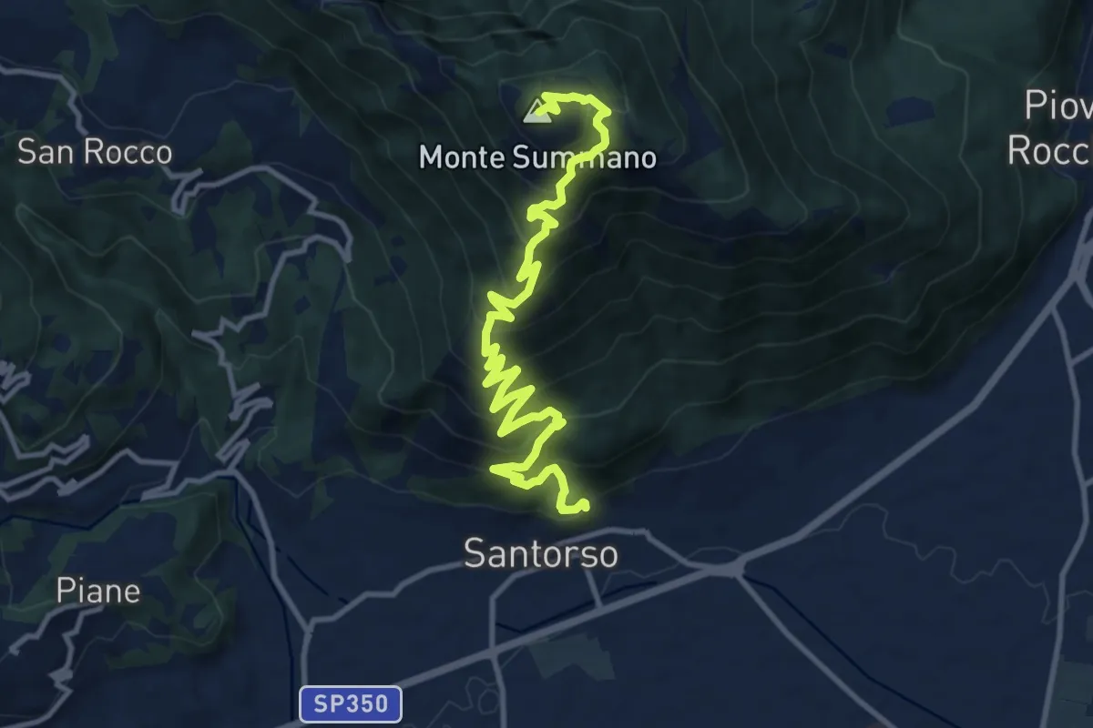
Demanding · Summit
Via Crucis
12.8 km · ↑ 1091 m · 5 h 23 min
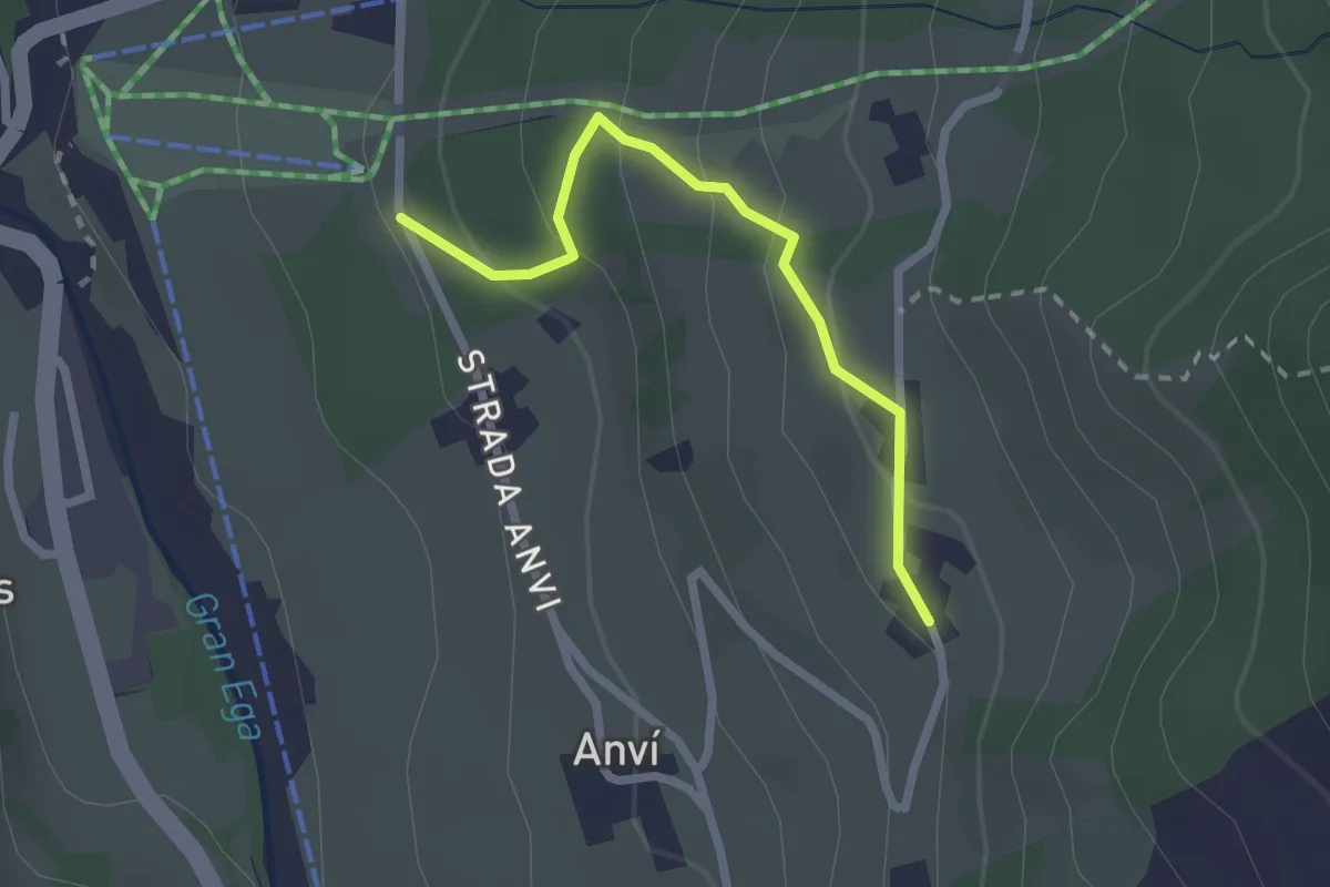
Easy · Trail
Via Crucis
2.2 km · ↑ 136 m · 49 min
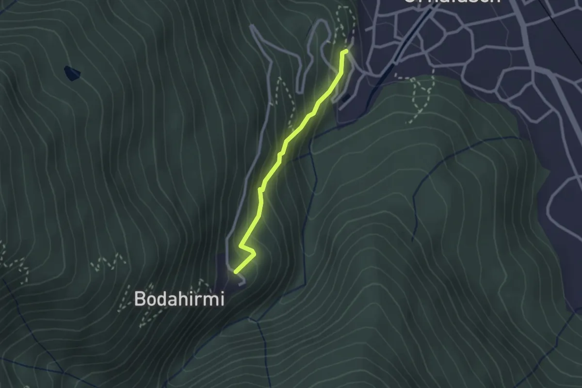
Easy · Trail
Via Crucis di Ornavasso
2.0 km · ↑ 210 m · 55 min
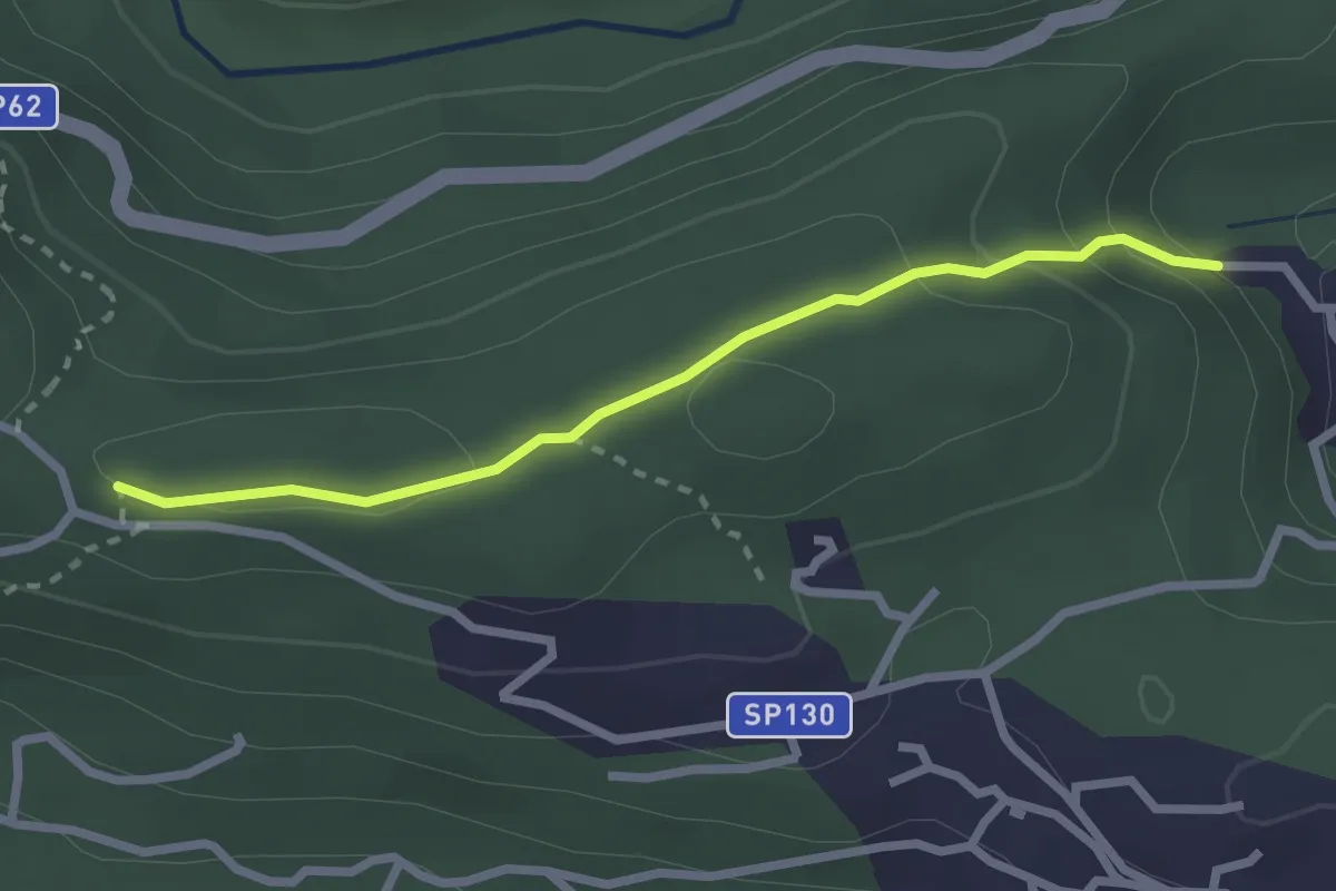
Easy · Trail
Via Crucis di Santino
2.5 km · ↑ 106 m · 49 min