Trails in Italy
25,219 hiking trails, each with its route, climb, walking time and grade.
All trails, page 225 of 526
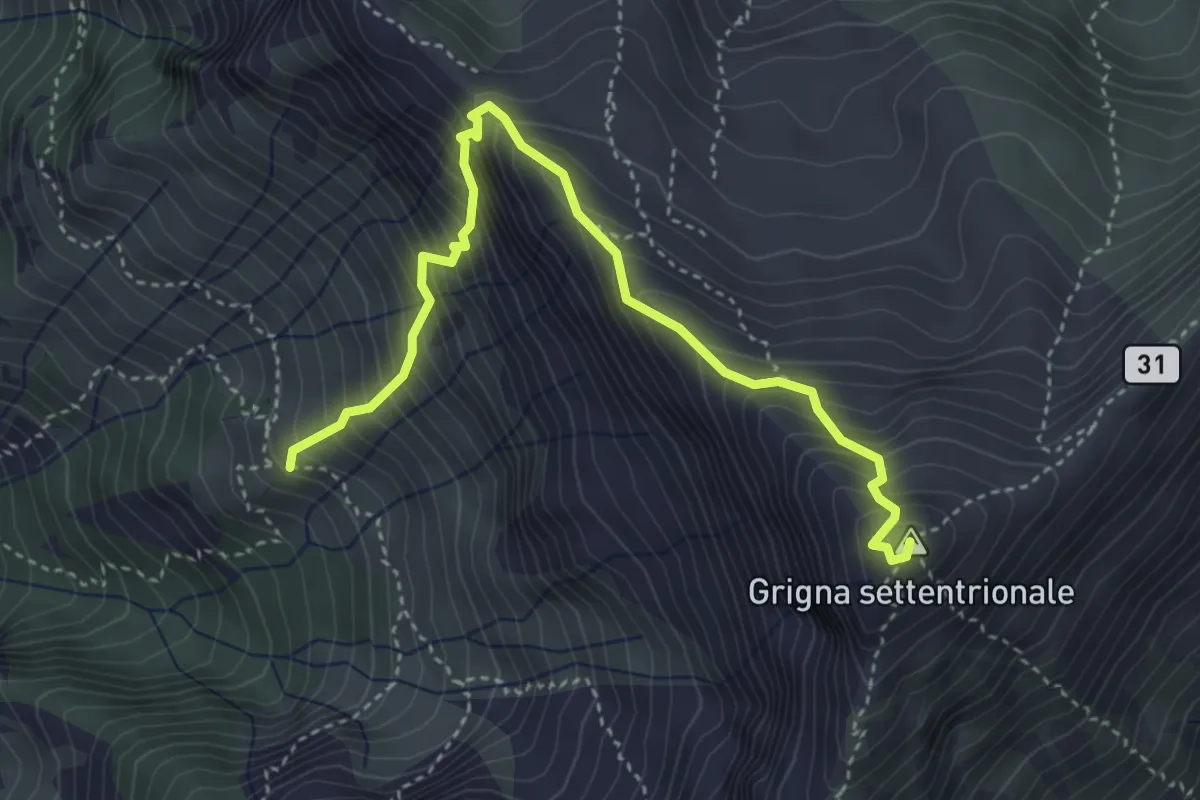
Demanding · Summit
Via Guzzi
4.3 km · ↑ 677 m · 2 h 29 min
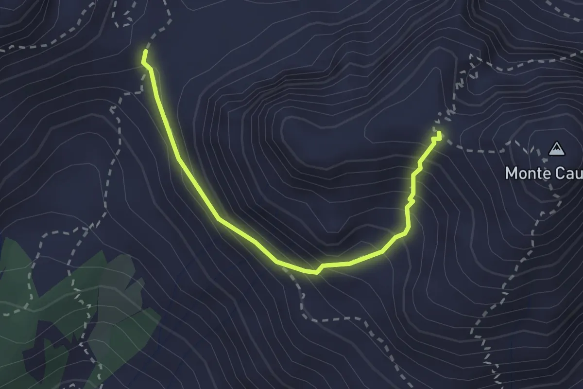
Medium · Trail
Via Italiana
2.4 km · ↑ 261 m · 1 h 8 min
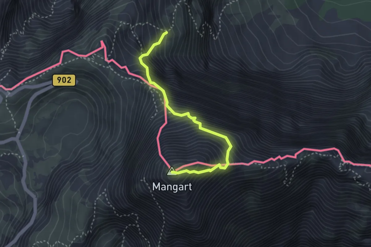
Expert · Summit
Via Italiana al Monte Mangart
3.3 km · ↑ 755 m · 2 h 24 min
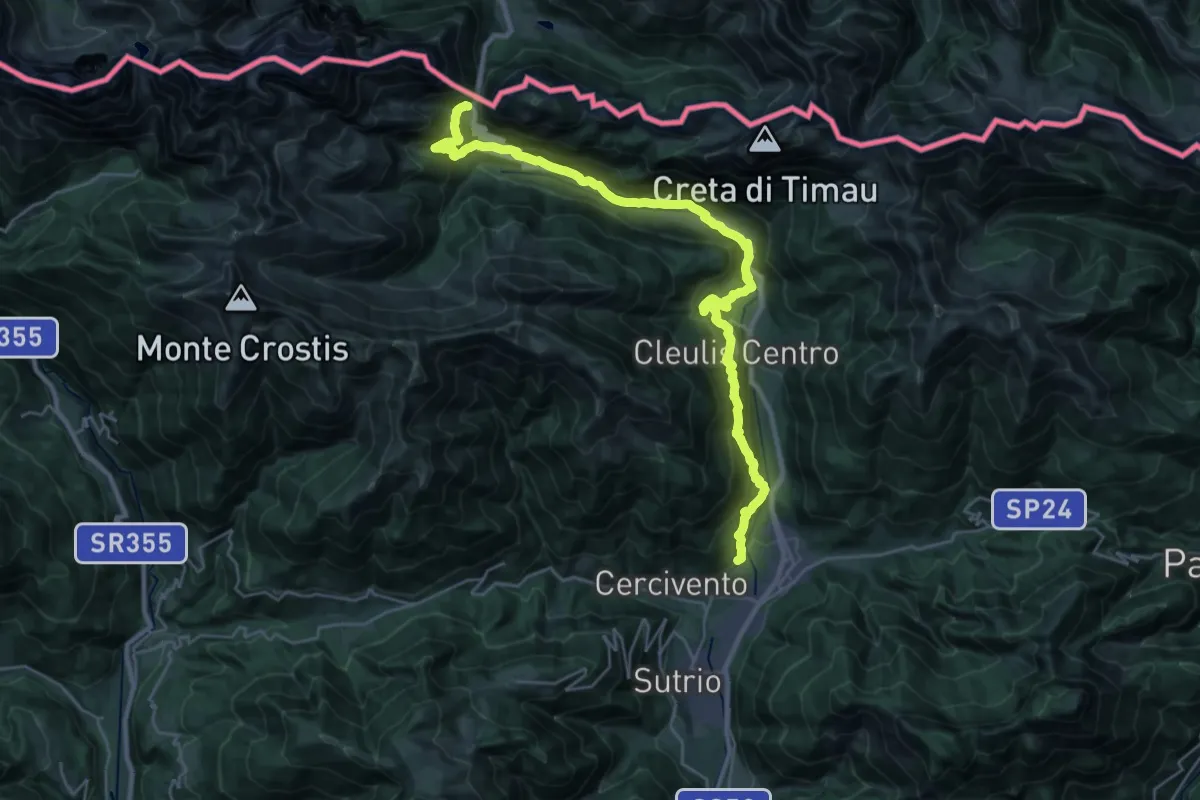
Demanding · Trail
Via Julia augusta
15.5 km · ↑ 1311 m · 6 h 20 min
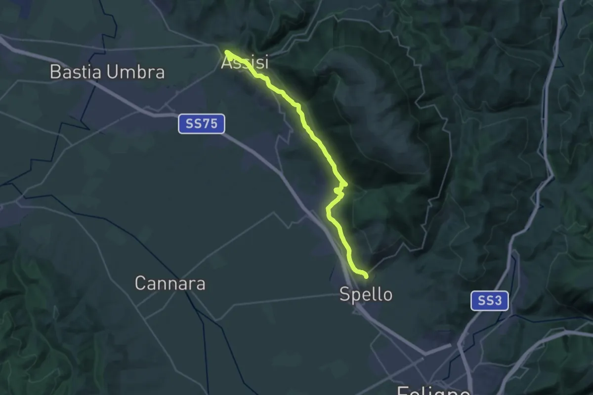
Medium · Pilgrim path
Via Lauretana - Stage 01
12.5 km · ↑ 299 m · 3 h 48 min
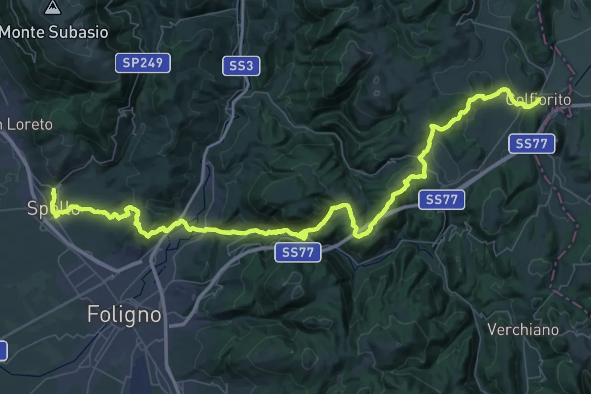
Demanding · Pilgrim path
Via Lauretana - Stage 02
28.4 km · ↑ 1034 m · 9 h 6 min
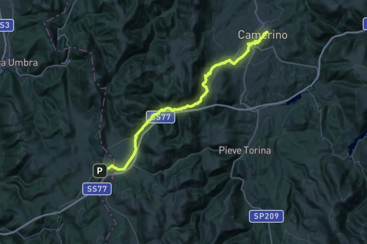
Demanding · Pilgrim path
Via Lauretana - Stage 03 NORD
25.0 km · ↑ 590 m · 7 h 37 min
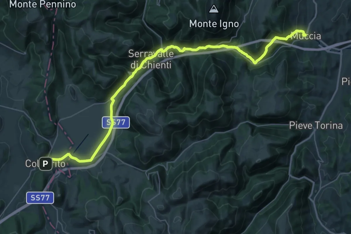
Medium · Pilgrim path
Via Lauretana - Stage 03 SUD
17.9 km · ↑ 225 m · 5 h 7 min
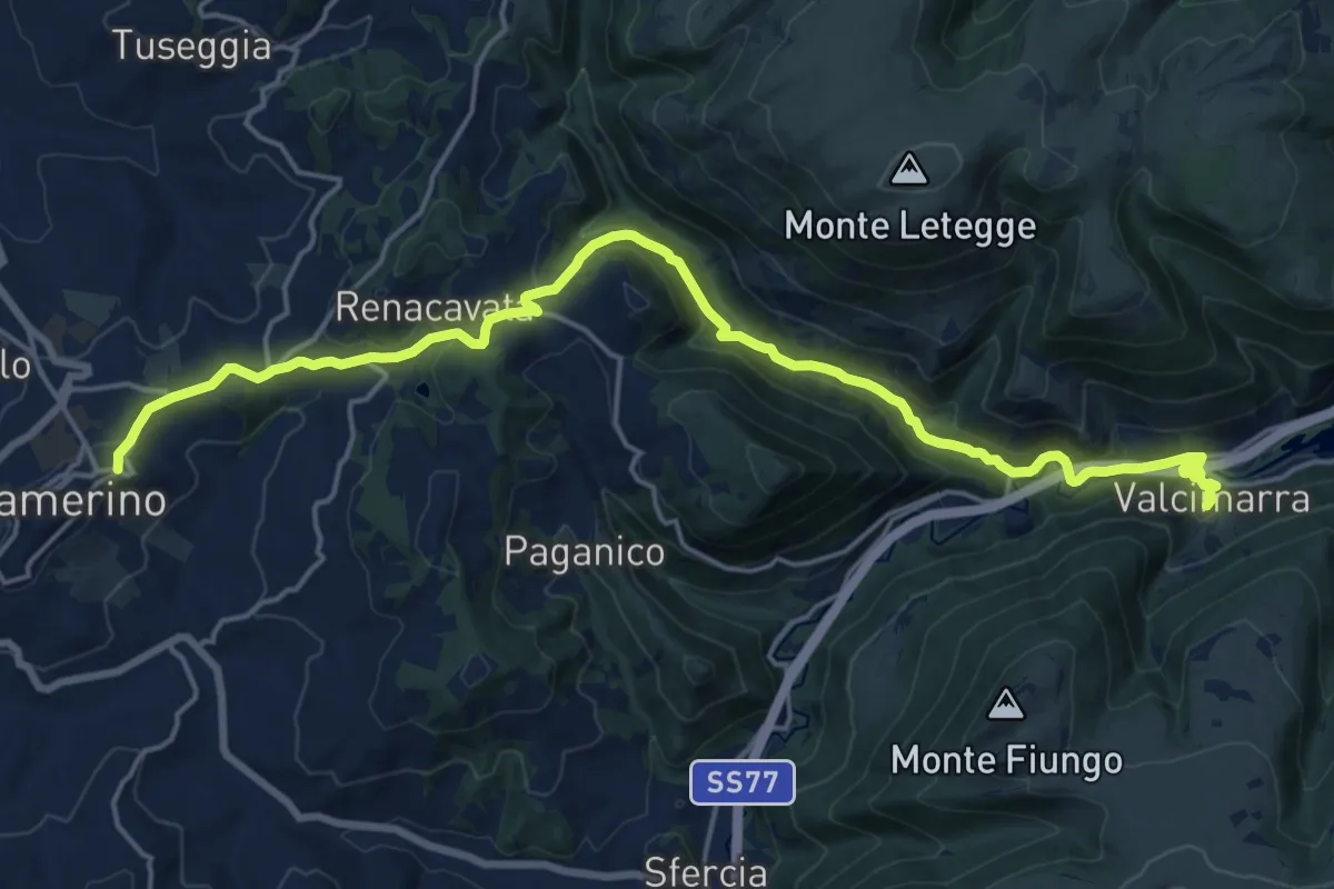
Medium · Pilgrim path
Via Lauretana - Stage 04 NORD
11.0 km · ↑ 259 m · 3 h 25 min
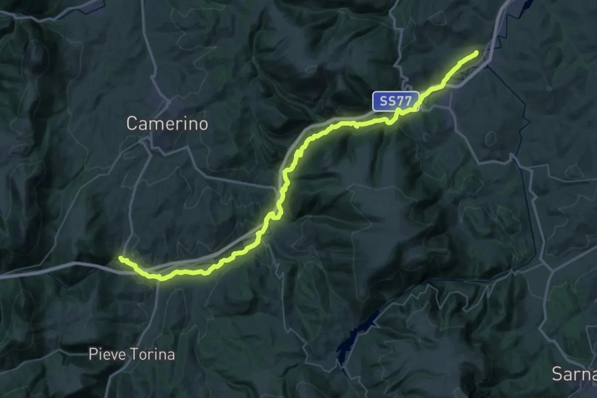
Demanding · Pilgrim path
Via Lauretana - Stage 04 SUD
23.9 km · ↑ 554 m · 7 h 15 min
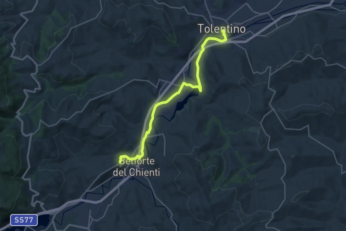
Medium · Pilgrim path
Via Lauretana - Stage 05
8.6 km · ↑ 72 m · 2 h 22 min
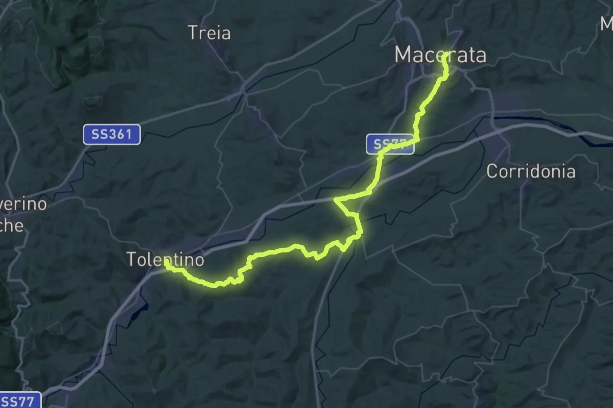
Demanding · Pilgrim path
Via Lauretana - Stage 06
27.5 km · ↑ 566 m · 8 h 4 min
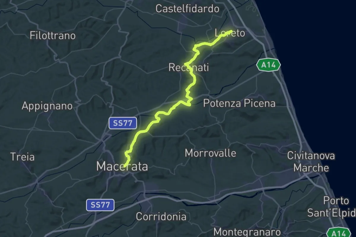
Demanding · Pilgrim path
Via Lauretana - Stage 07
28.4 km · ↑ 540 m · 8 h 22 min
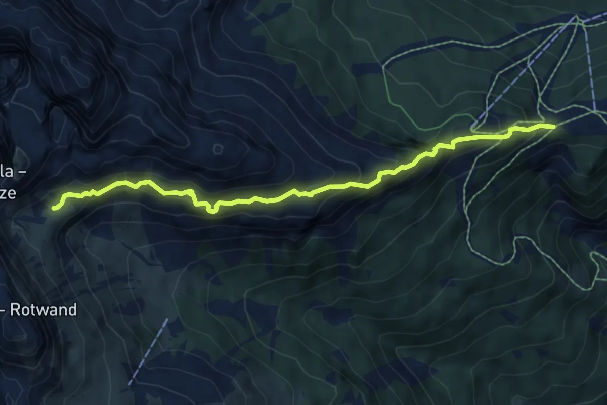
Medium · Cabin
Vial de la Feide
6.5 km · ↑ 624 m · 2 h 54 min
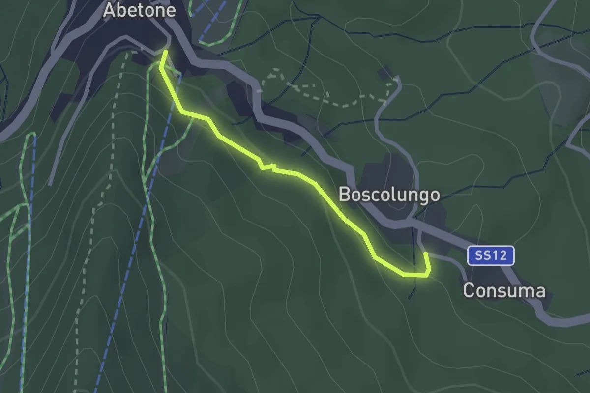
Easy · Trail
Viale Regina Margherita
2.0 km · ↑ 100 m · 42 min
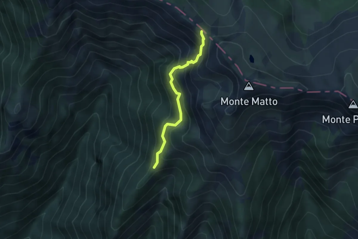
Demanding · Trail
Via Longobarda
3.3 km · ↑ 409 m · 1 h 39 min
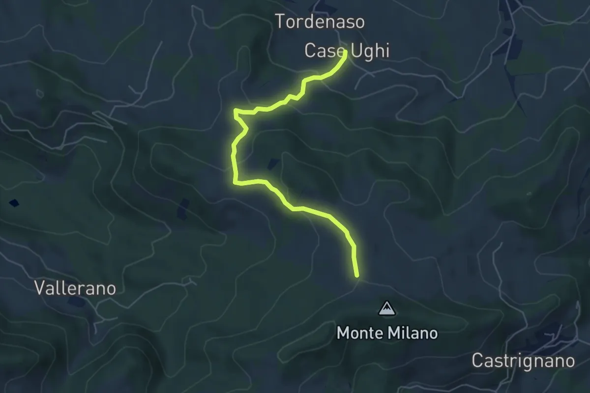
Easy · Trail
Via Longobarda - da Case Ughi a Monte Milano
5.4 km · ↑ 223 m · 1 h 45 min
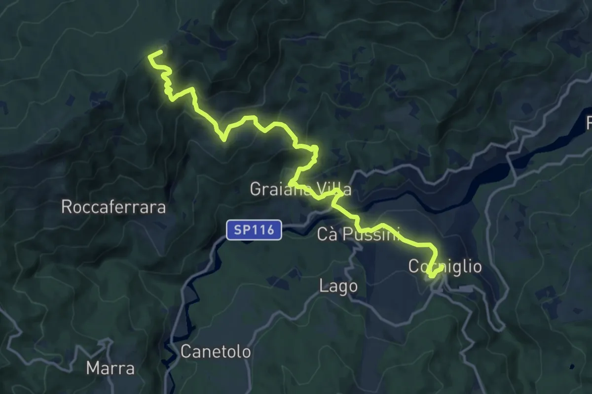
Demanding · Summit
Via Longobarda - da Corniglio a Maestà di Graiana
15.3 km · ↑ 893 m · 5 h 32 min
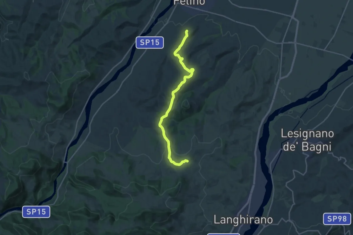
Medium · Trail
Via Longobarda - da Felino a Strognano
16.0 km · ↑ 301 m · 4 h 26 min
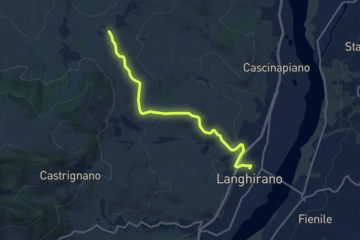
Medium · Trail
Via Longobarda - da Langhirano a Strognano
8.9 km · ↑ 190 m · 2 h 30 min
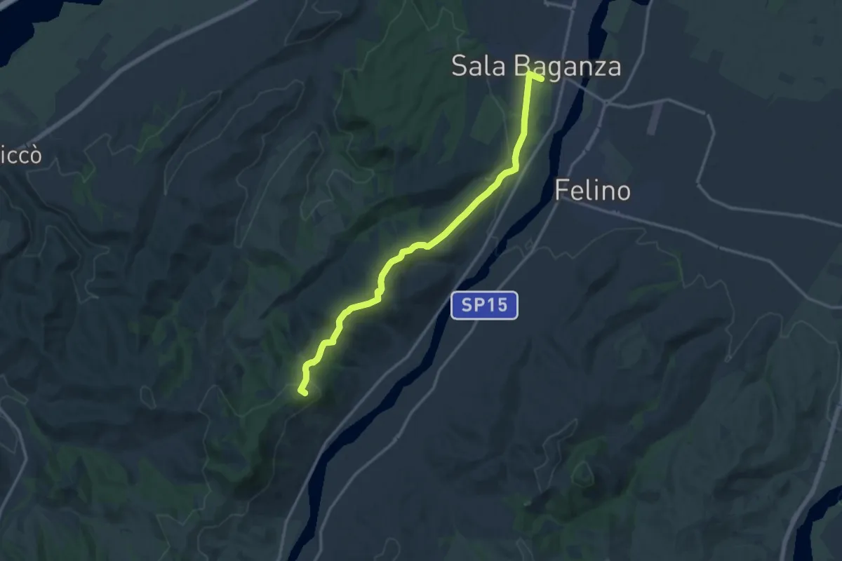
Medium · Summit
Via Longobarda - da Sala Baganza a Case Manferdelli
14.1 km · ↑ 400 m · 4 h 12 min
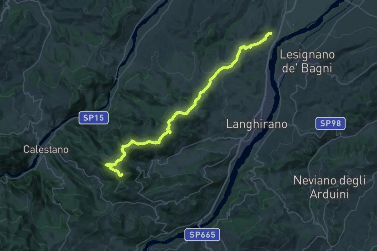
Demanding · Summit
Via Longobarda - tappa1 da Torrechiara a Passo di Fragno
30.2 km · ↑ 1173 m · 9 h 40 min
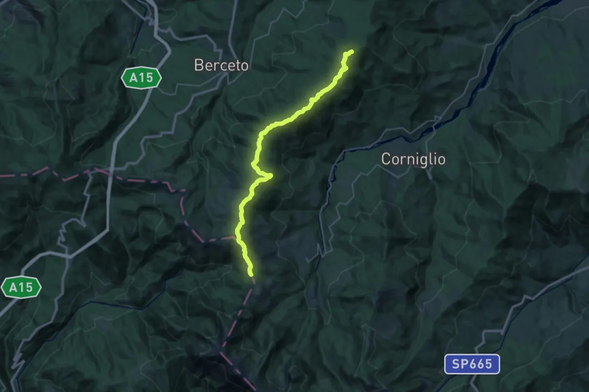
Demanding · Summit
Via Longobarda - tappa2 da Passo di Fragno a Passo di Cirone
26.7 km · ↑ 1025 m · 8 h 32 min
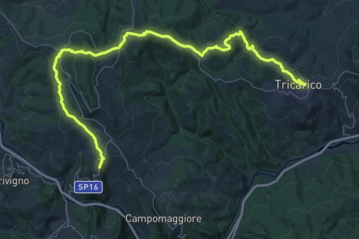
Demanding · Trail
Via Lucana - Tappa 1
22.0 km · ↑ 664 m · 7 h 2 min
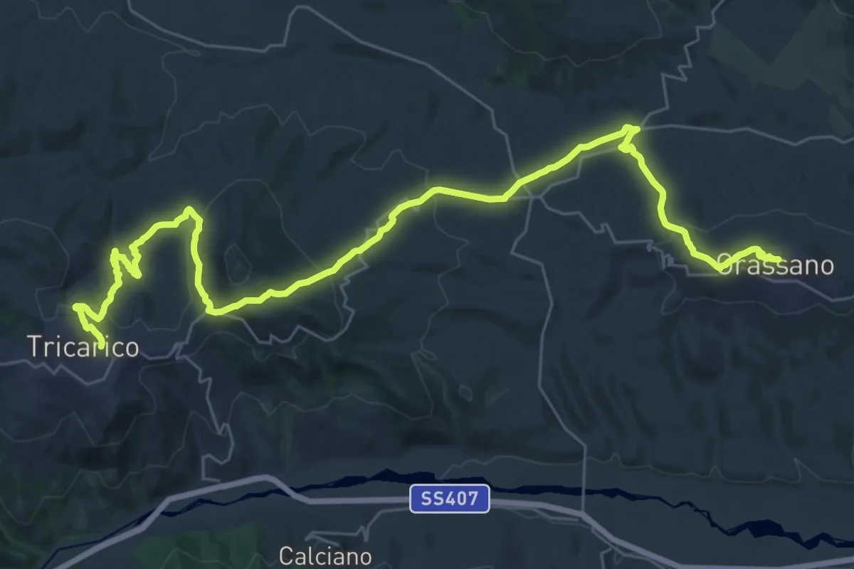
Demanding · Trail
Via Lucana - Tappa 2
20.6 km · ↑ 642 m · 6 h 37 min
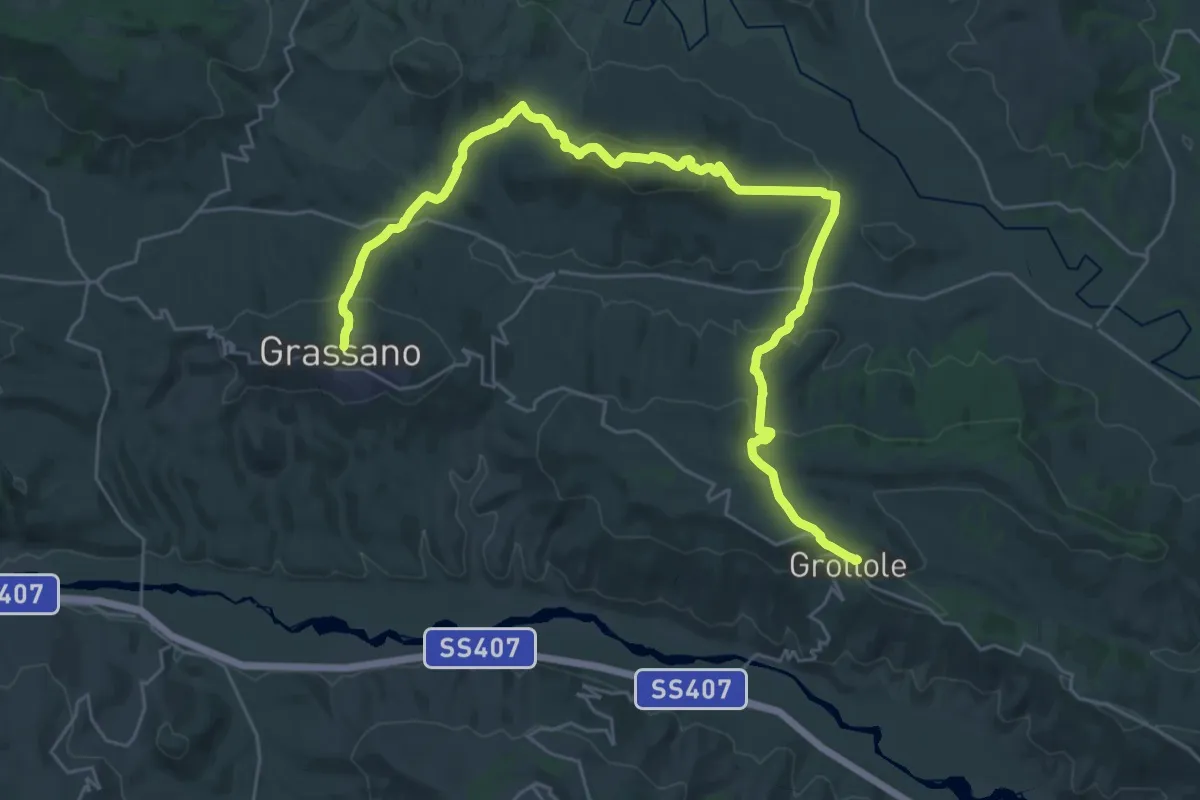
Demanding · Trail
Via Lucana - Tappa 3
19.7 km · ↑ 682 m · 6 h 26 min
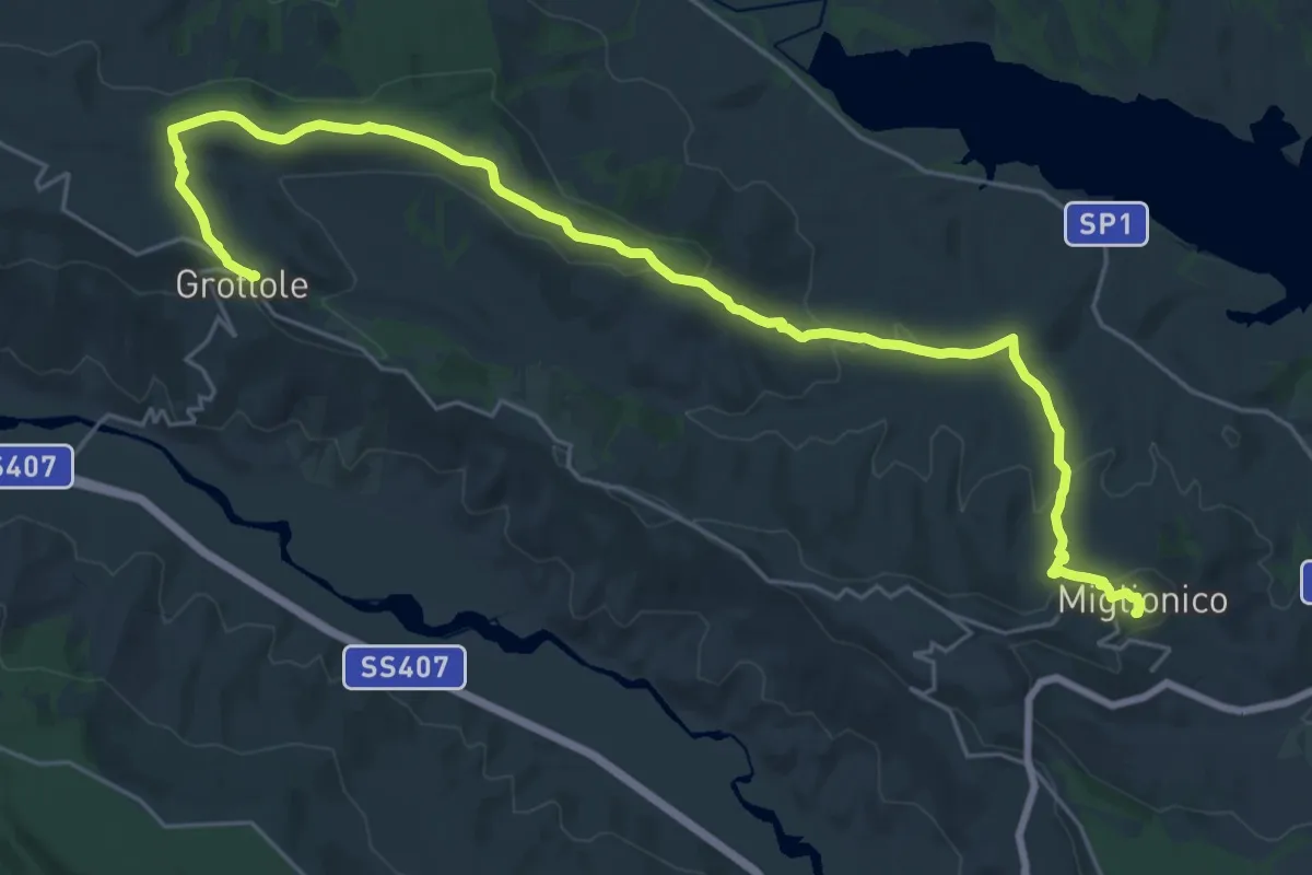
Medium · Trail
Via Lucana - Tappa 4
17.0 km · ↑ 462 m · 5 h 14 min
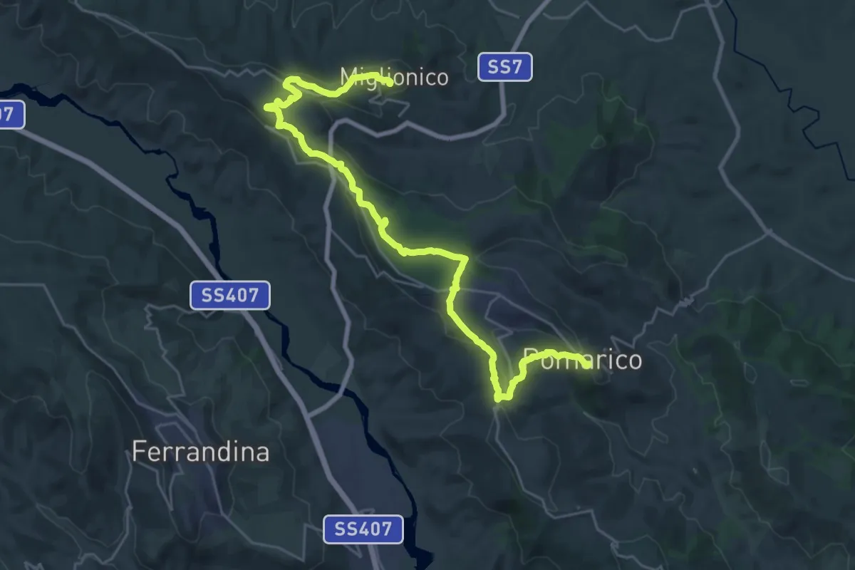
Medium · Trail
Via Lucana - Tappa 5
16.1 km · ↑ 378 m · 4 h 52 min
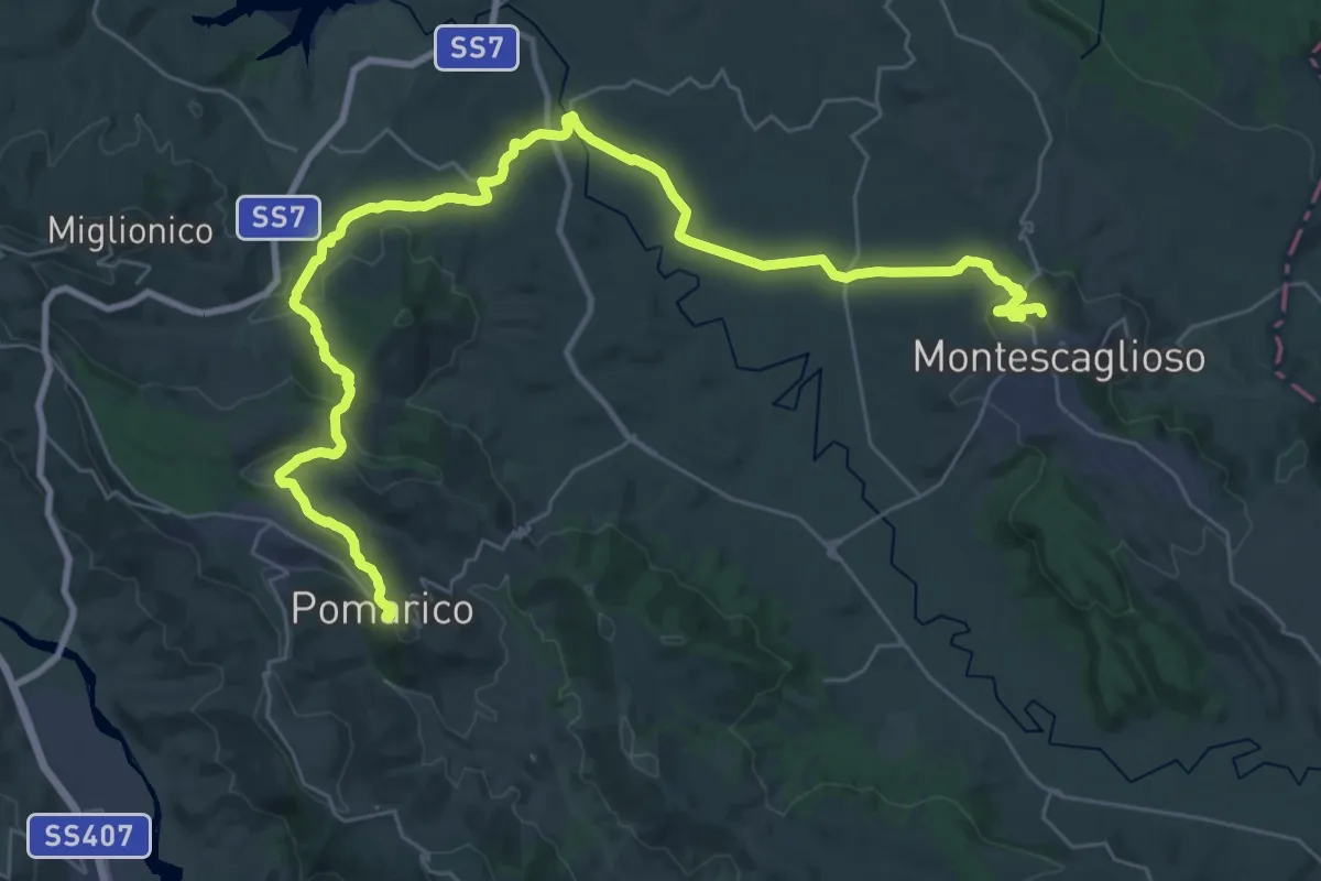
Demanding · Trail
Via Lucana - Tappa 6
23.2 km · ↑ 467 m · 6 h 50 min
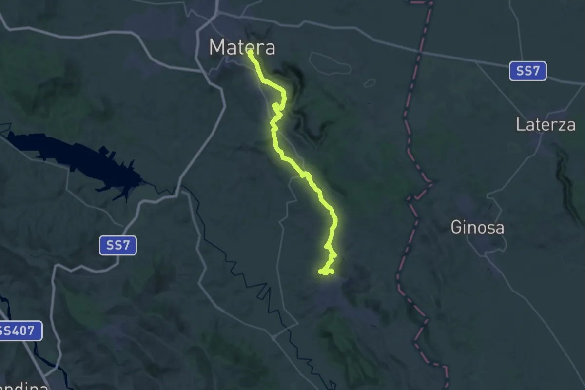
Demanding · Summit
Via Lucana - Tappa 7
36.0 km · ↑ 793 m · 10 h 14 min
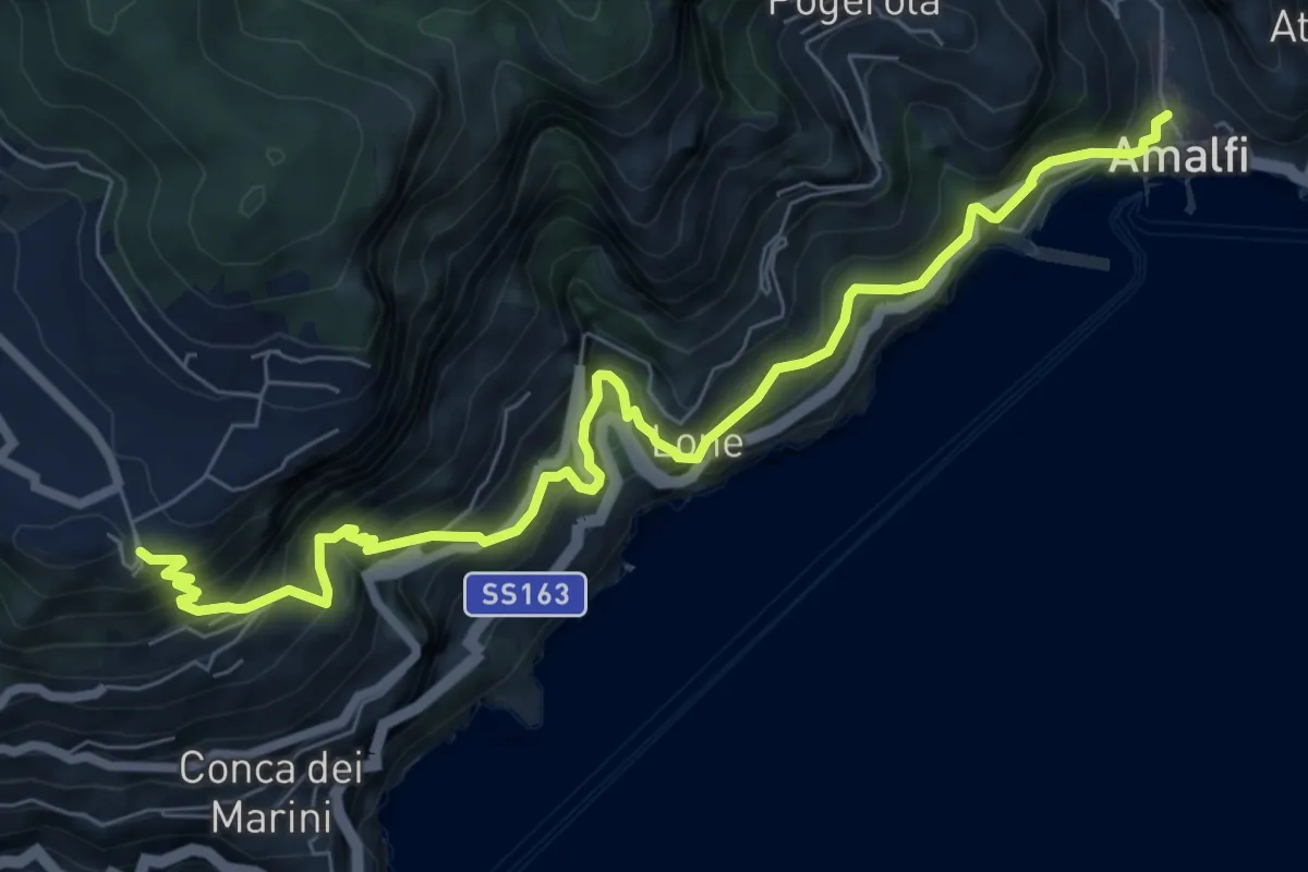
Demanding · Trail
Via Maestra dei Villaggi
9.4 km · ↑ 1120 m · 4 h 39 min
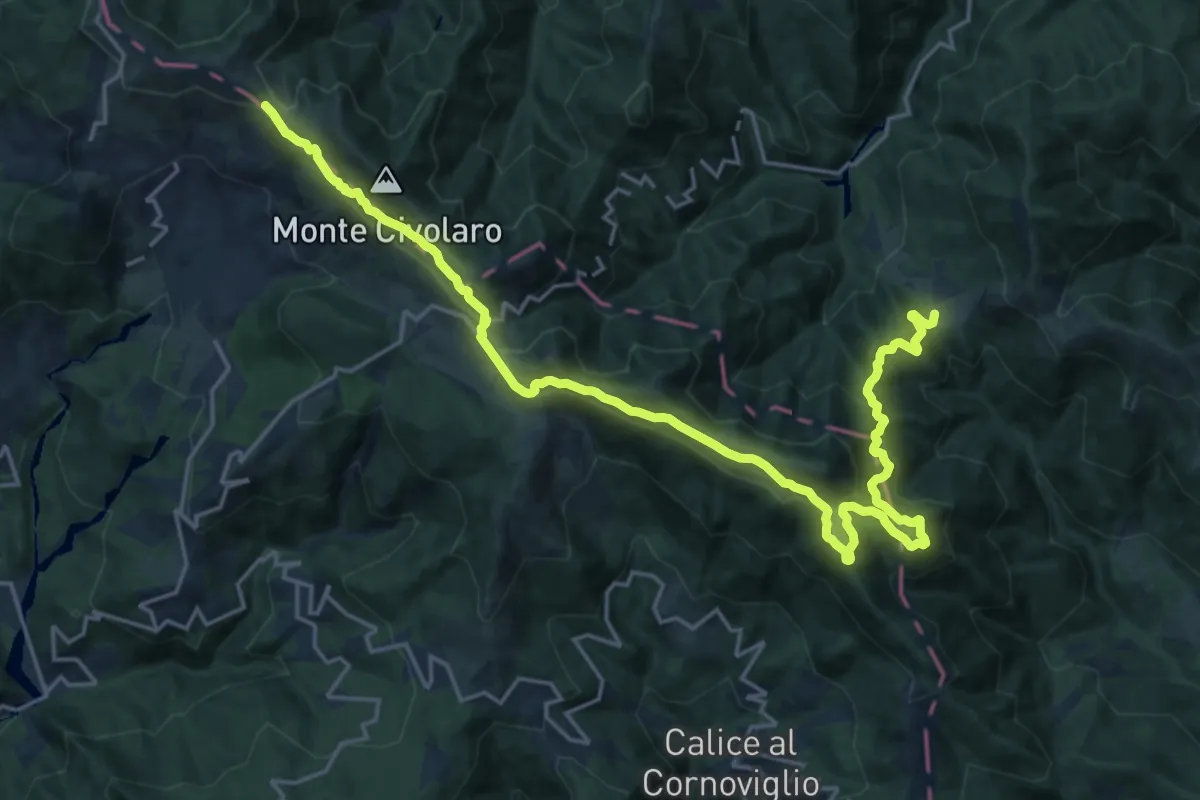
Demanding · Summit
Via Marchesana
25.3 km · ↑ 1247 m · 8 h 40 min
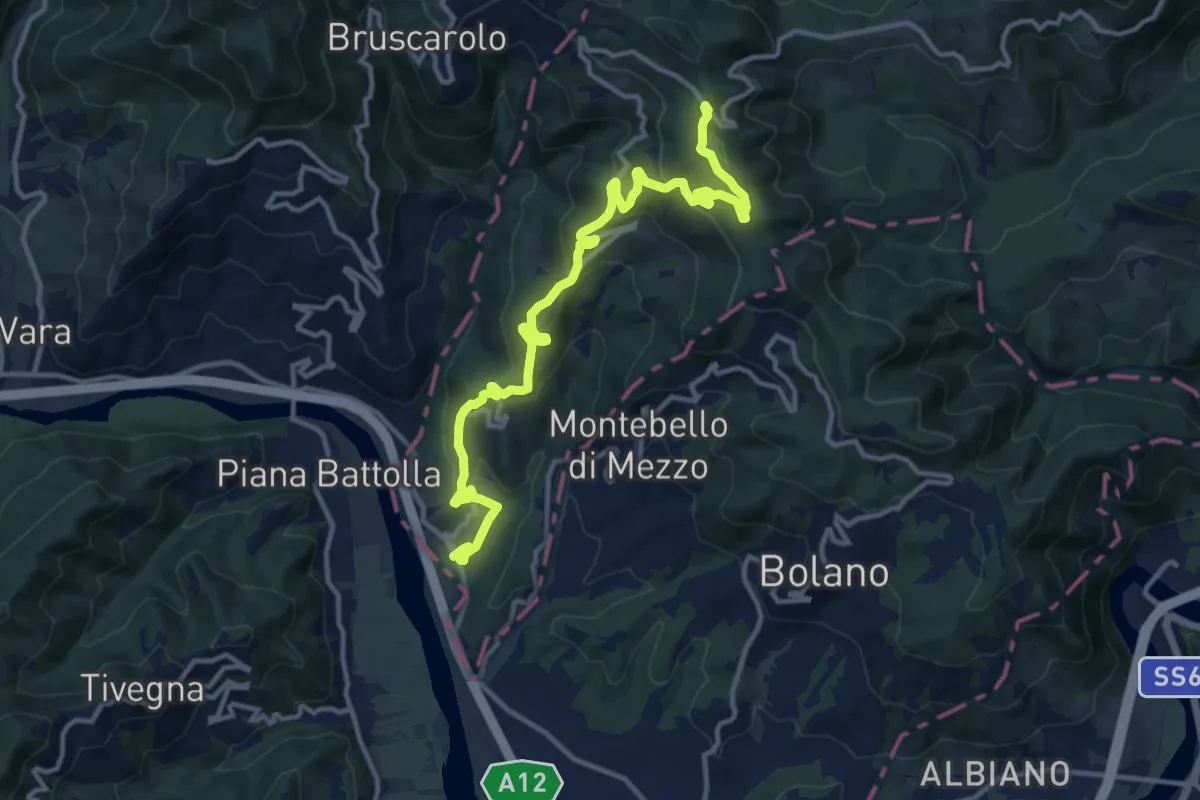
Medium · Trail
Via Marchesana (Variante Montedivalli)
15.0 km · ↑ 626 m · 4 h 53 min
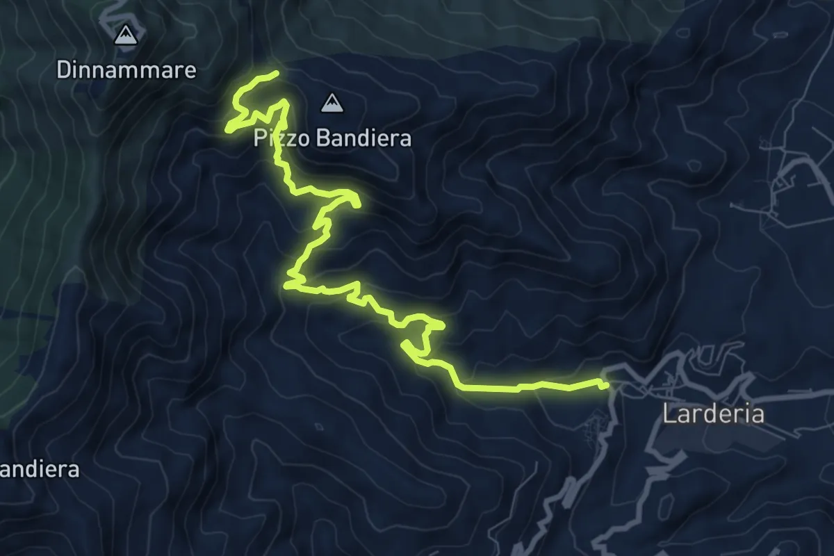
Medium · Trail
Via Mariae Larderia Dinnammare
11.8 km · ↑ 784 m · 4 h 29 min
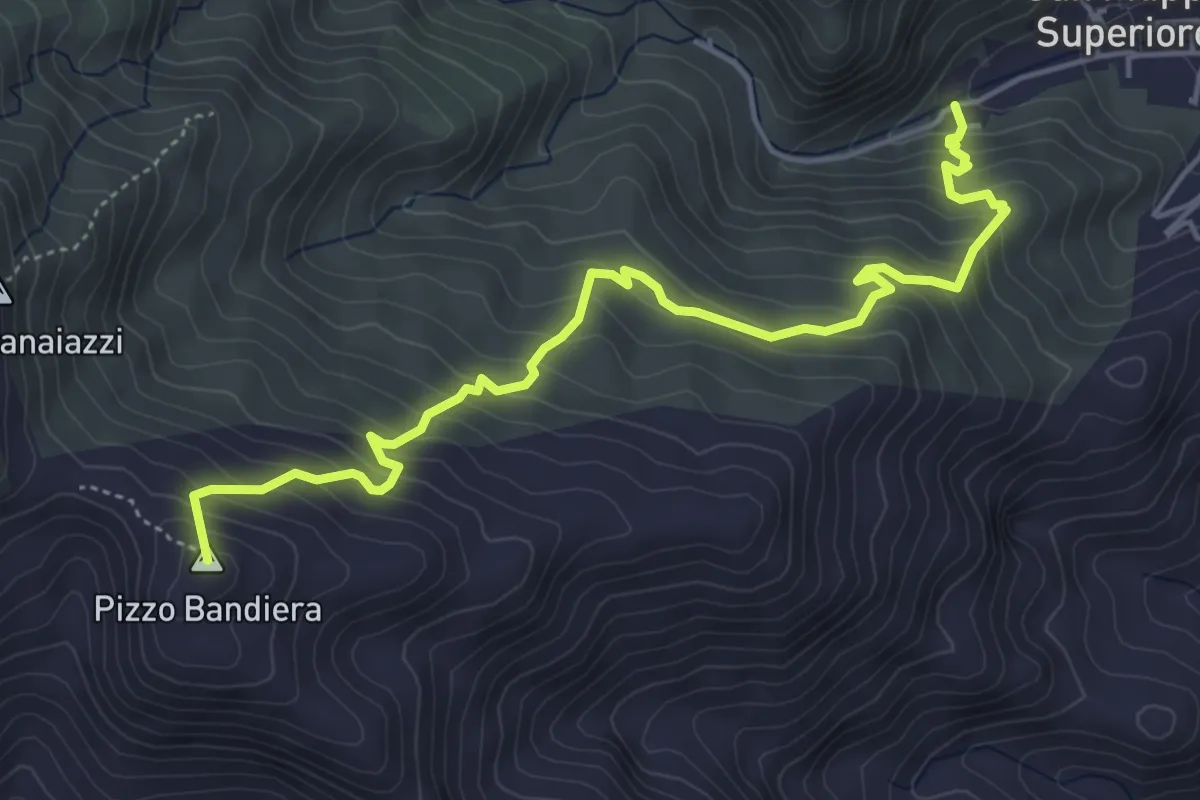
Medium · Summit
Via Mariae San Filippo Dinnammare
6.3 km · ↑ 522 m · 2 h 38 min
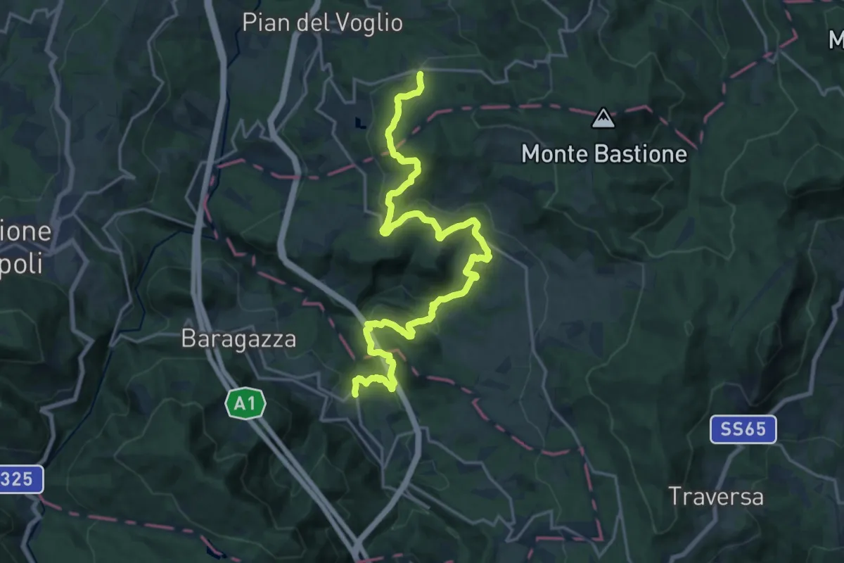
Medium · Pilgrim path
Via Mater Dei 5
10.5 km · ↑ 271 m · 3 h 20 min
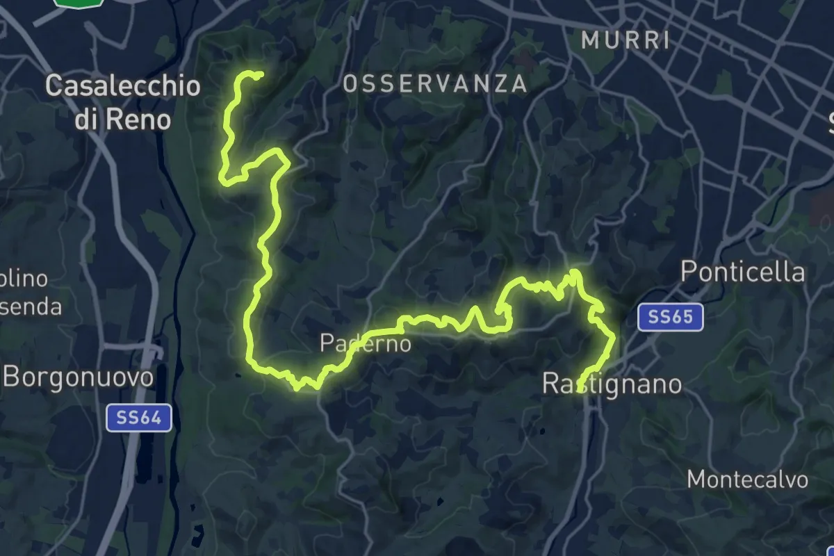
Medium · Summit
Via Mater Dei tappa 1
15.5 km · ↑ 627 m · 5 h 9 min
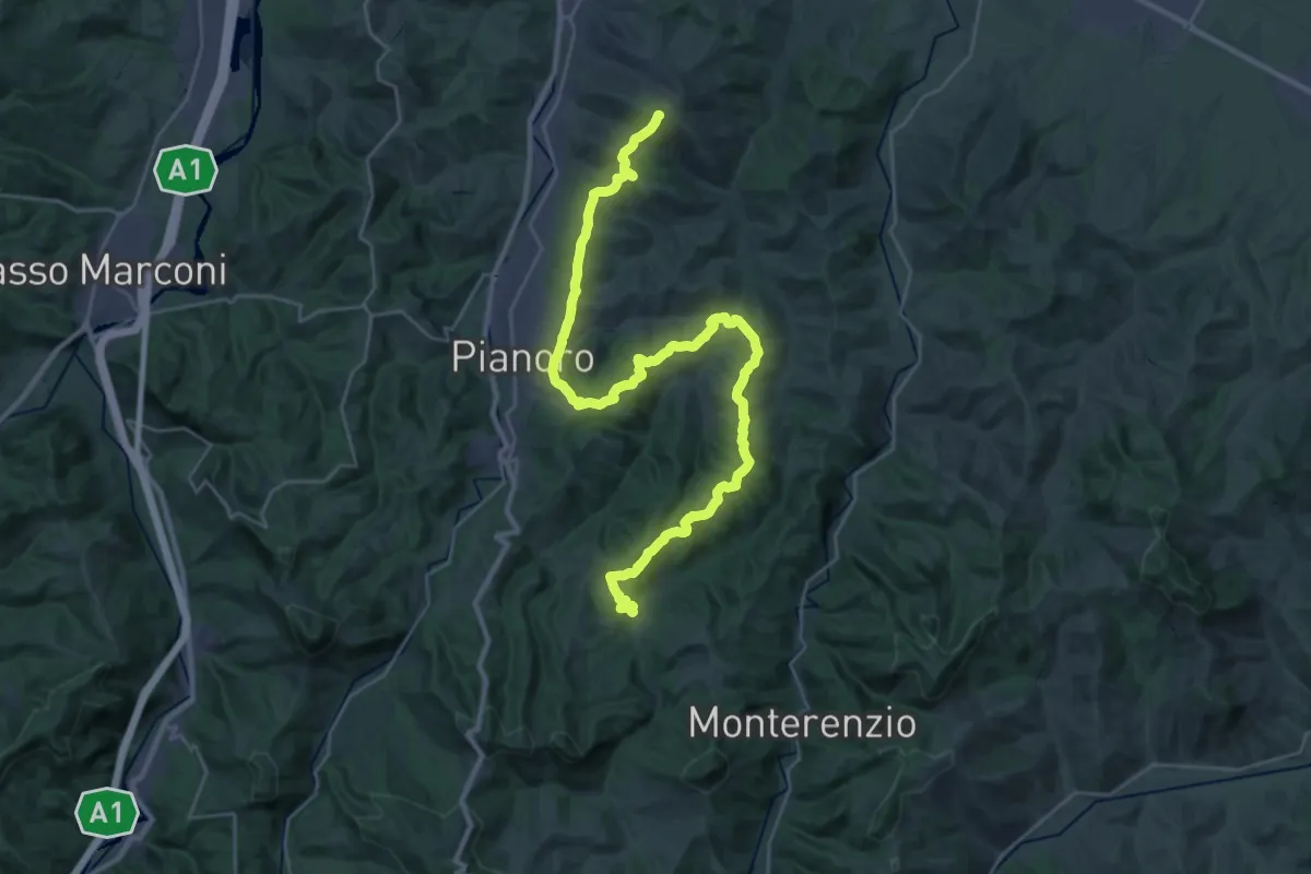
Demanding · Summit
Via Mater Dei tappa 2
18.5 km · ↑ 714 m · 6 h 5 min
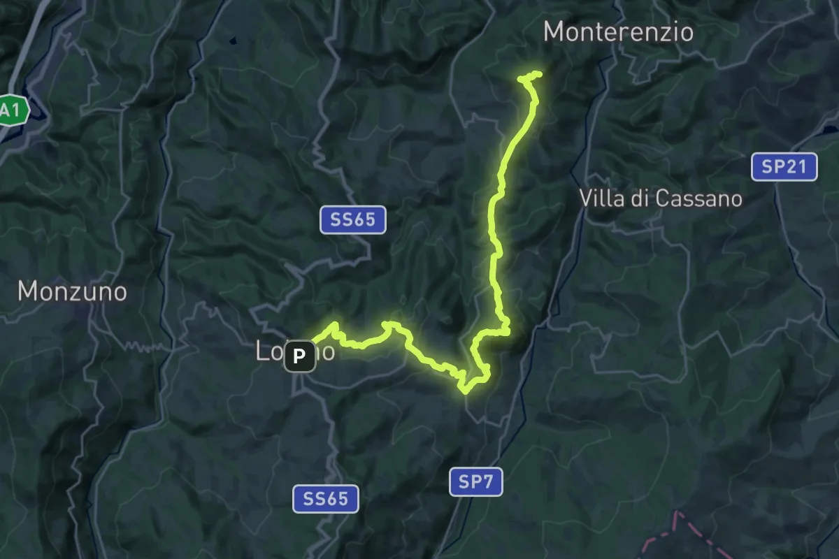
Medium · Summit
Via Mater Dei tappa 3
14.7 km · ↑ 520 m · 4 h 51 min
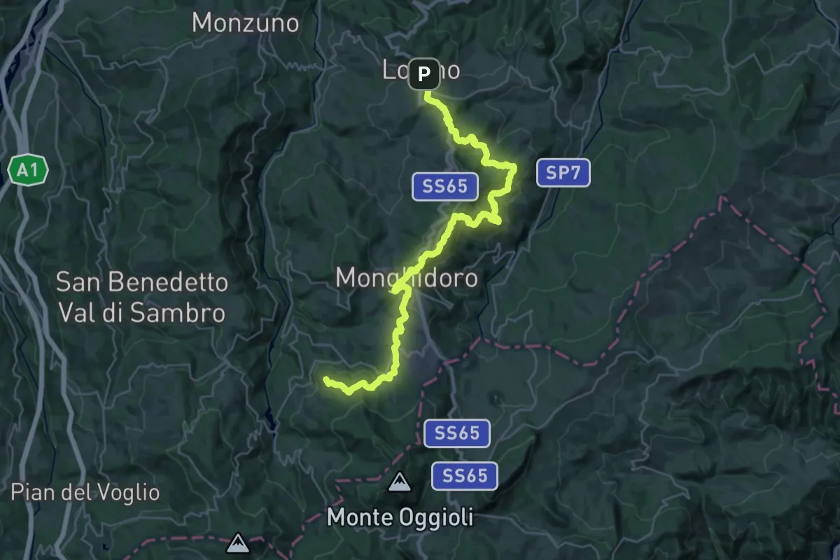
Medium · Summit
Via Mater Dei tappa 4
16.2 km · ↑ 720 m · 5 h 32 min
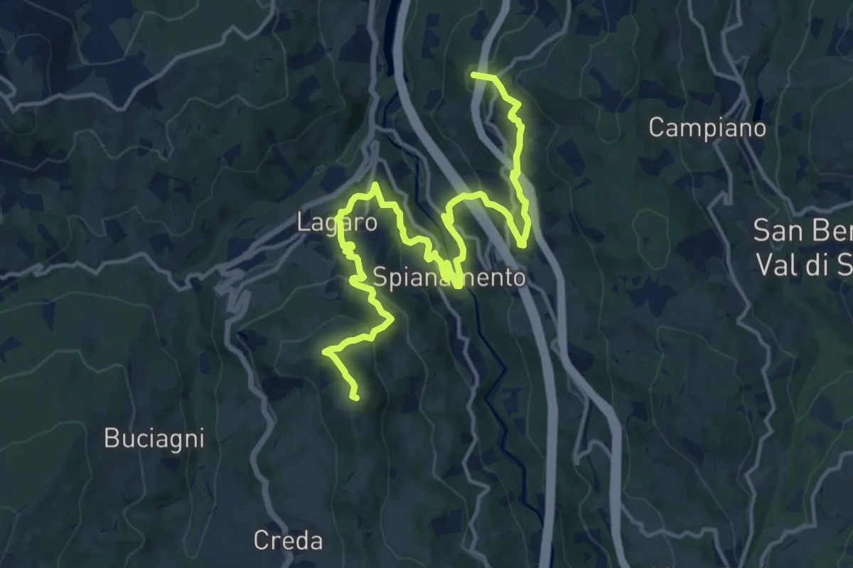
Medium · Summit
Via Mater Dei tappa 6
8.6 km · ↑ 466 m · 3 h 5 min
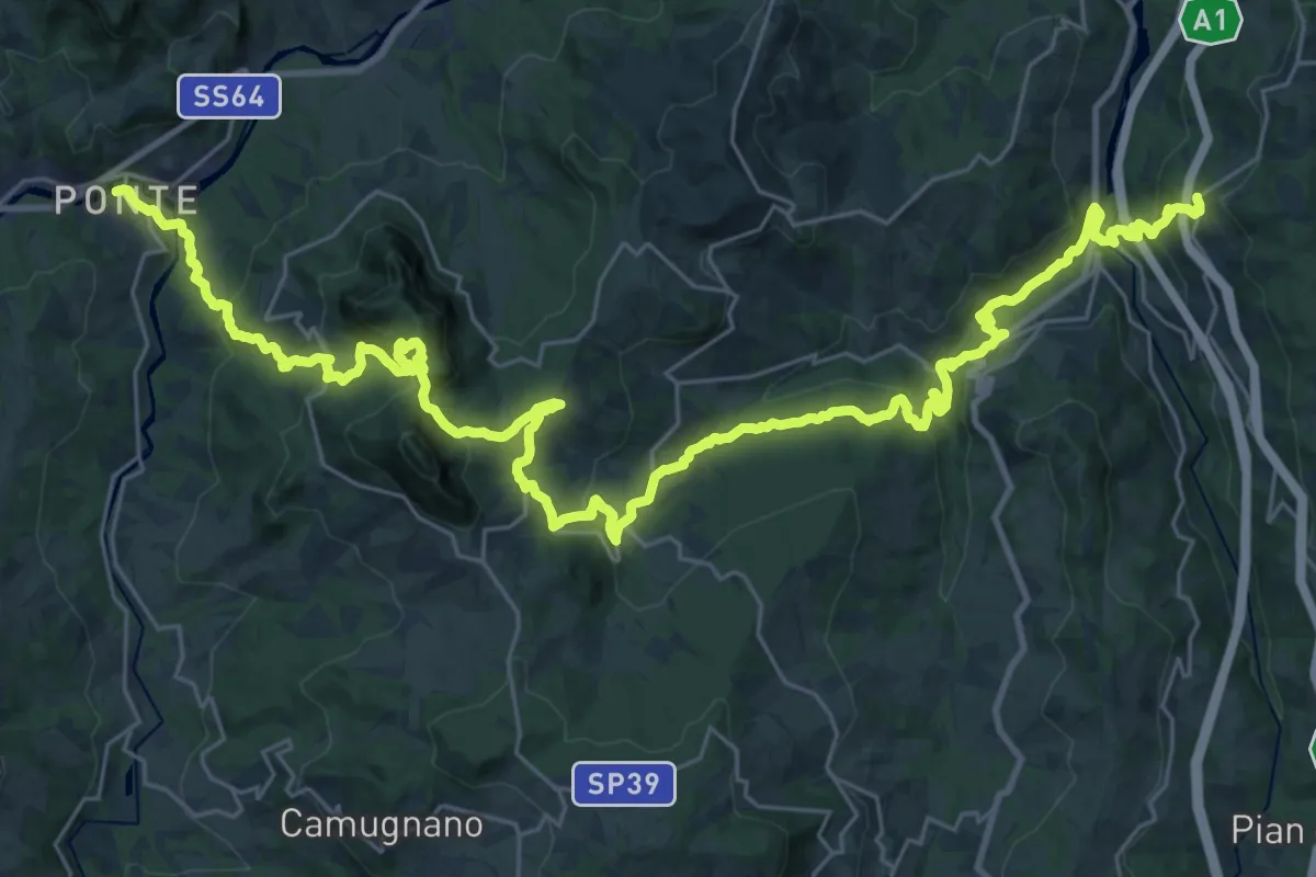
Demanding · Pilgrim path
Via Mater Dei tappa 7
22.1 km · ↑ 795 m · 7 h 23 min
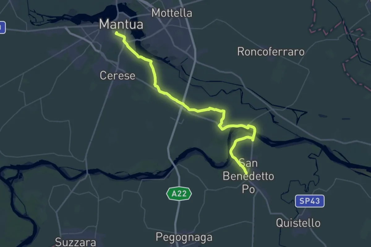
Demanding · Trail
Via Matildica del Volto Santo: Tappa 1
23.7 km · ↑ 28 m · 6 h
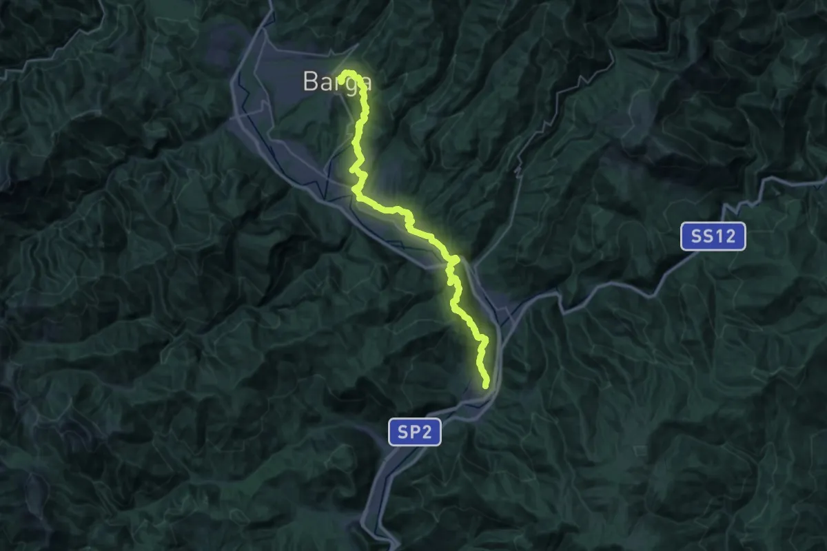
Medium · Trail
Via Matildica del Volto Santo: Tappa 10
17.6 km · ↑ 489 m · 5 h 35 min
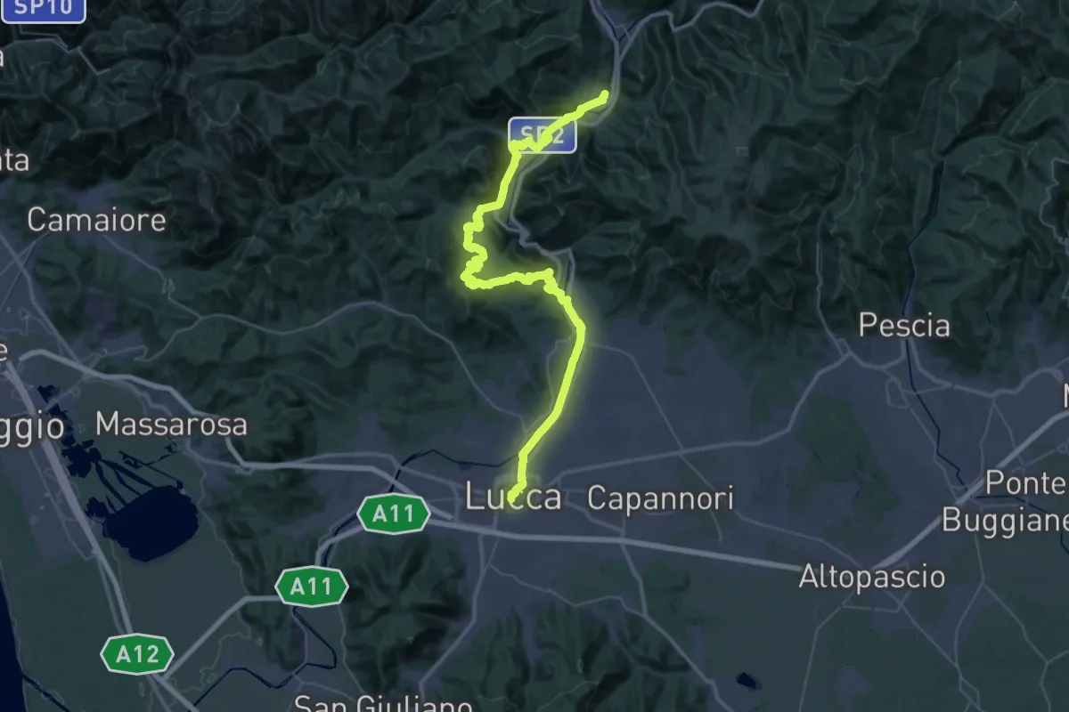
Demanding · Trail
Via Matildica del Volto Santo: Tappa 11
29.3 km · ↑ 487 m · 8 h 27 min
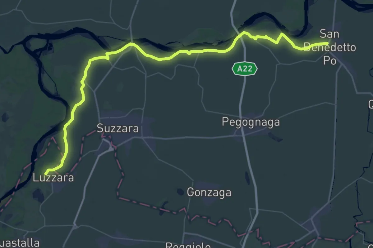
Demanding · Trail
Via Matildica del Volto Santo: Tappa 2
28.7 km · ↑ 57 m · 7 h 18 min
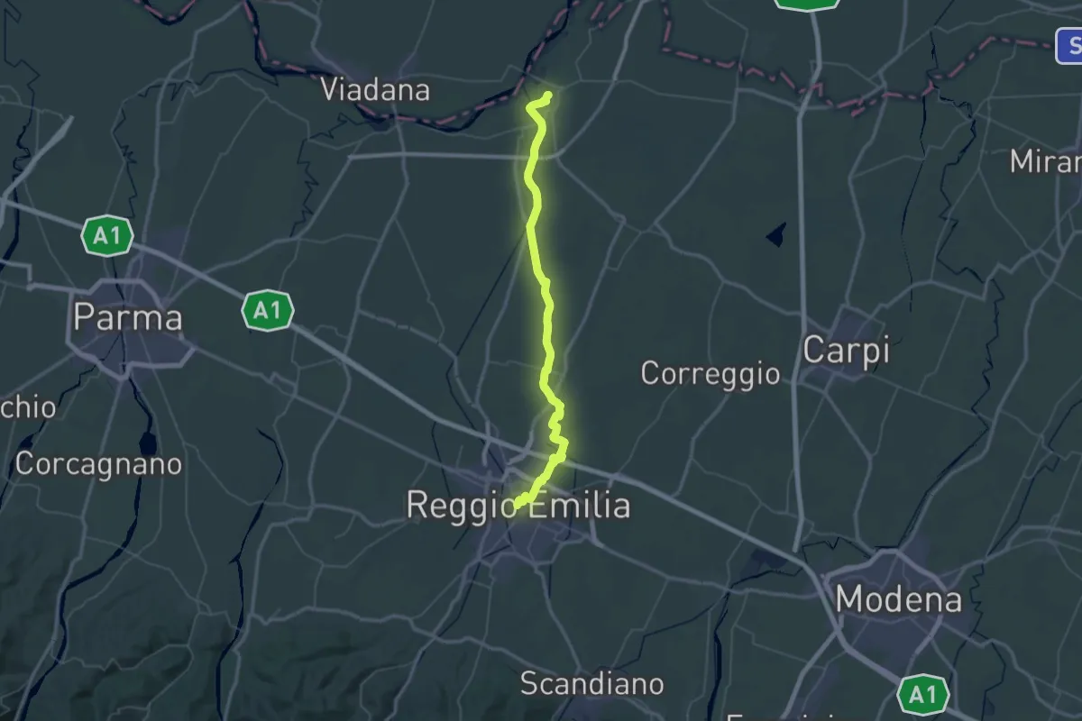
Demanding · Trail
Via Matildica del Volto Santo: Tappa 3
31.1 km · ↑ 52 m · 7 h 52 min
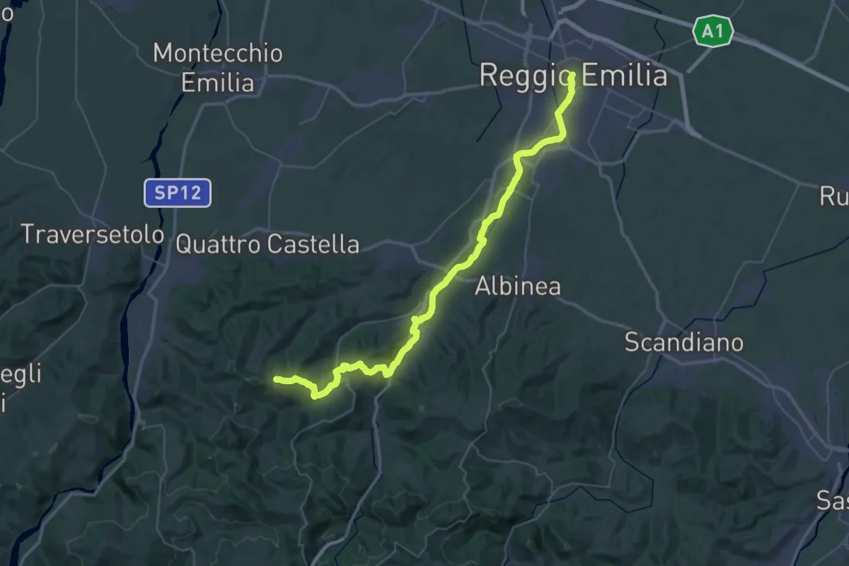
Demanding · Summit
Via Matildica del Volto Santo: Tappa 4
47.8 km · ↑ 911 m · 13 h 16 min