Trails in Italy
25,219 hiking trails, each with its route, climb, walking time and grade.
All trails, page 262 of 526
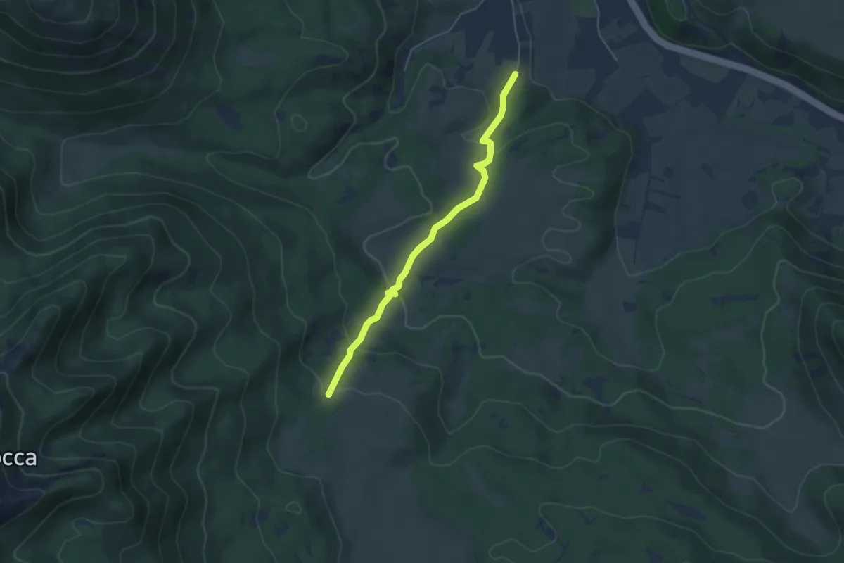
Easy · Trail
Pescasseroli – Valle Mancina
4.7 km · ↑ 197 m · 1 h 32 min
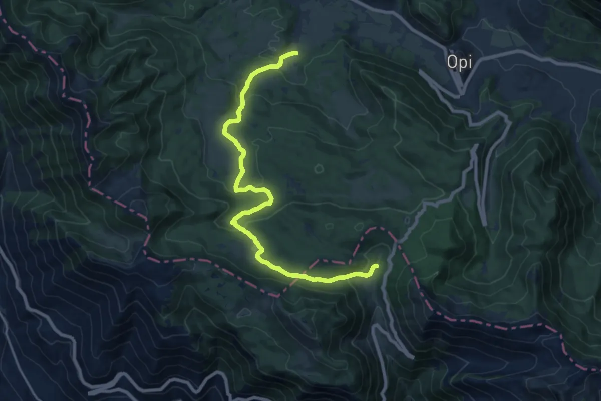
Medium · Trail
Spinella – Forca D'Acero
16.9 km · ↑ 548 m · 5 h 11 min
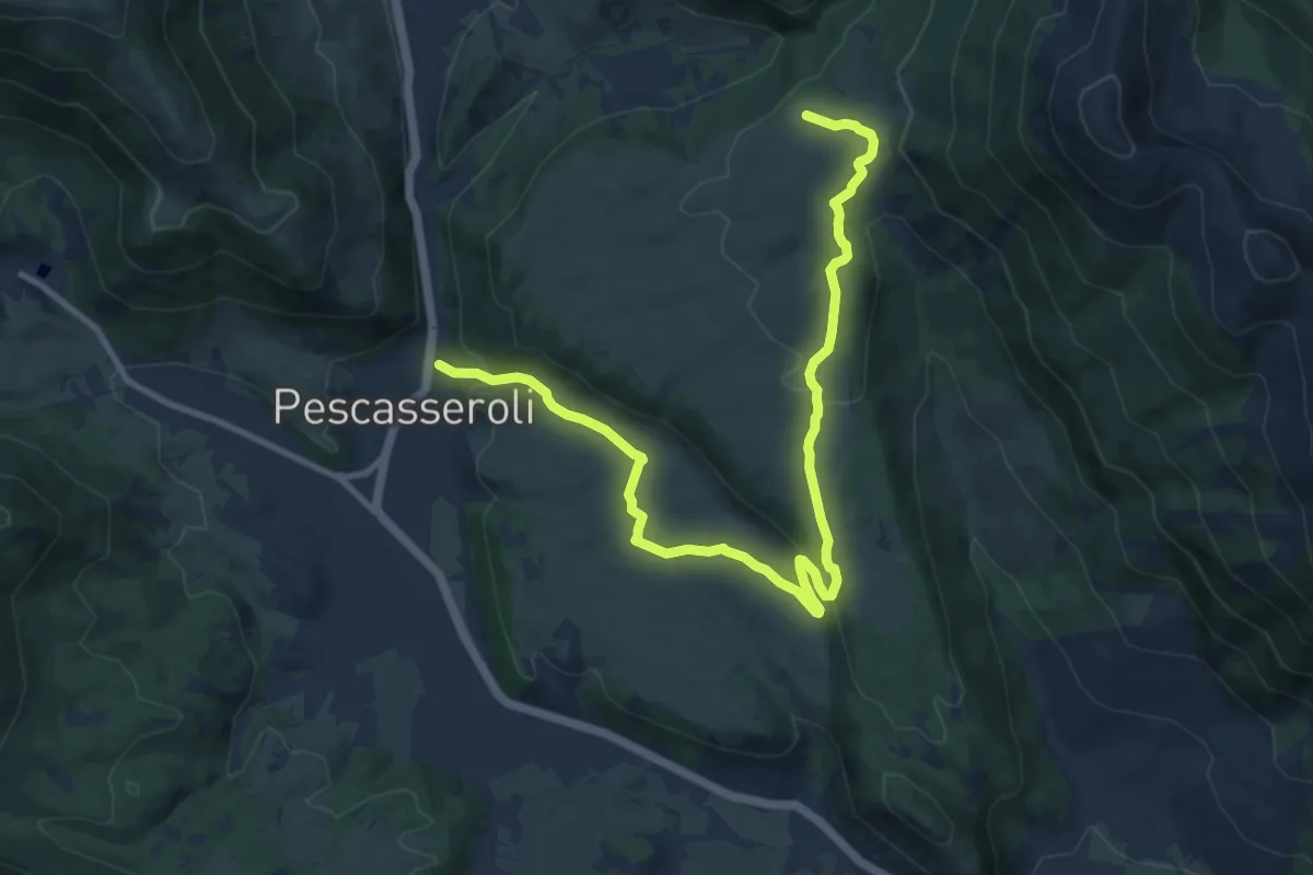
Medium · Trail
Pescasseroli – Colli Alti
13.5 km · ↑ 385 m · 4 h 1 min
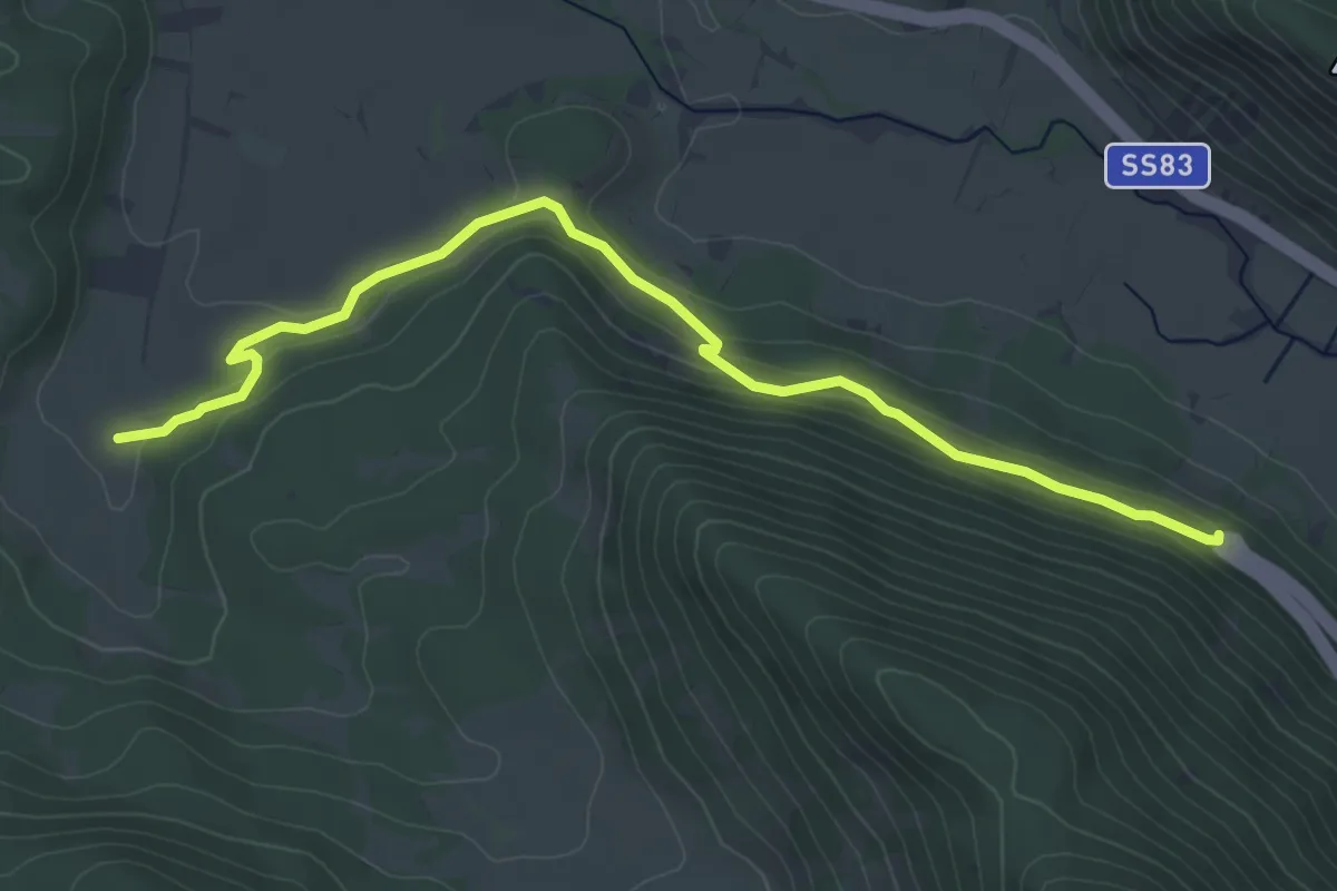
Easy · Trail
La Madonnina – Spinella
5.6 km · ↑ 160 m · 1 h 41 min
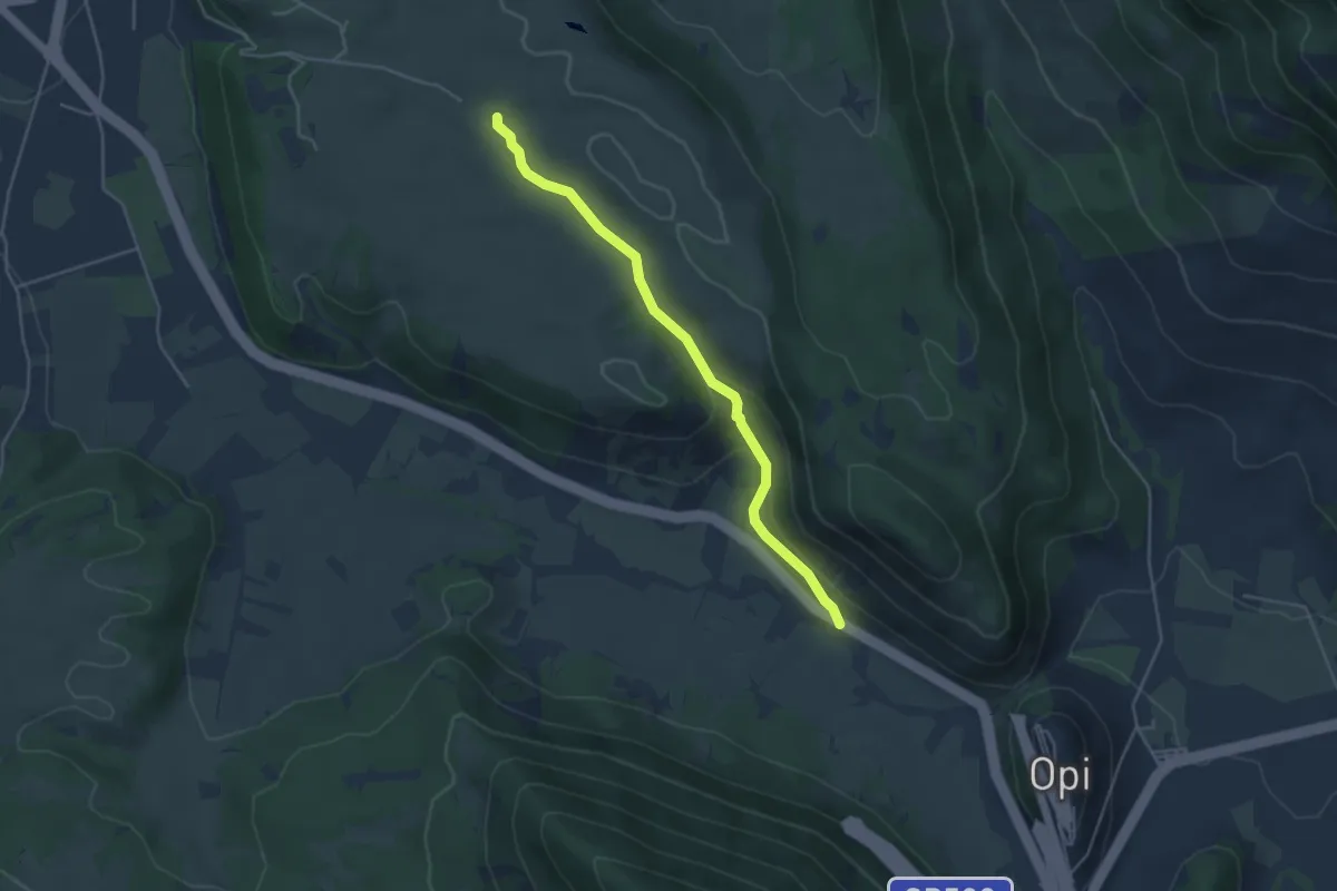
Easy · Trail
Pietre Bianche – Colli Bassi
4.6 km · ↑ 125 m · 1 h 21 min
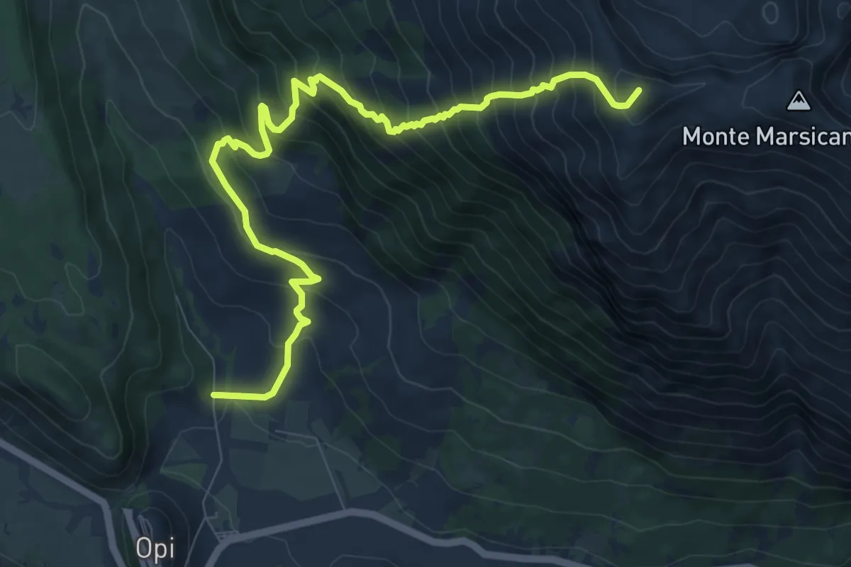
Demanding · Summit
Le Casette – Monte Marsicano
11.2 km · ↑ 1134 m · 5 h 7 min
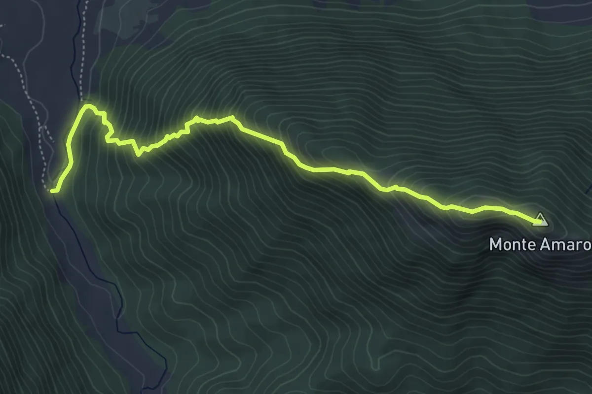
Demanding · Summit
Grotta Fondillo – Monte Amaro
6.1 km · ↑ 719 m · 3 h
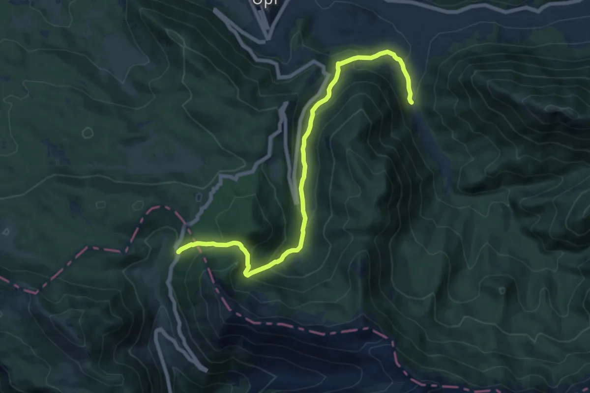
Demanding · Trail
Grotta Fondillo – Forca D'Acero
13.5 km · ↑ 671 m · 4 h 38 min
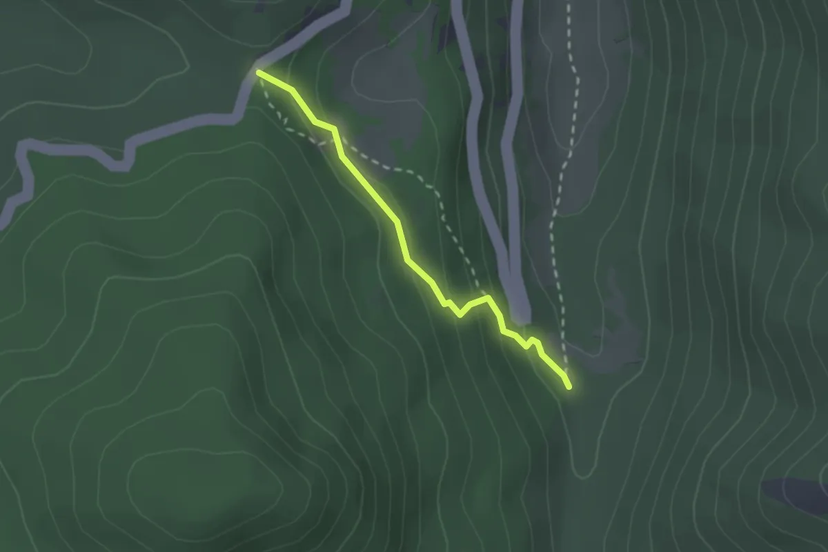
Easy · Trail
Valle Fredda – Il Coppo
2.2 km · ↑ 127 m · 47 min
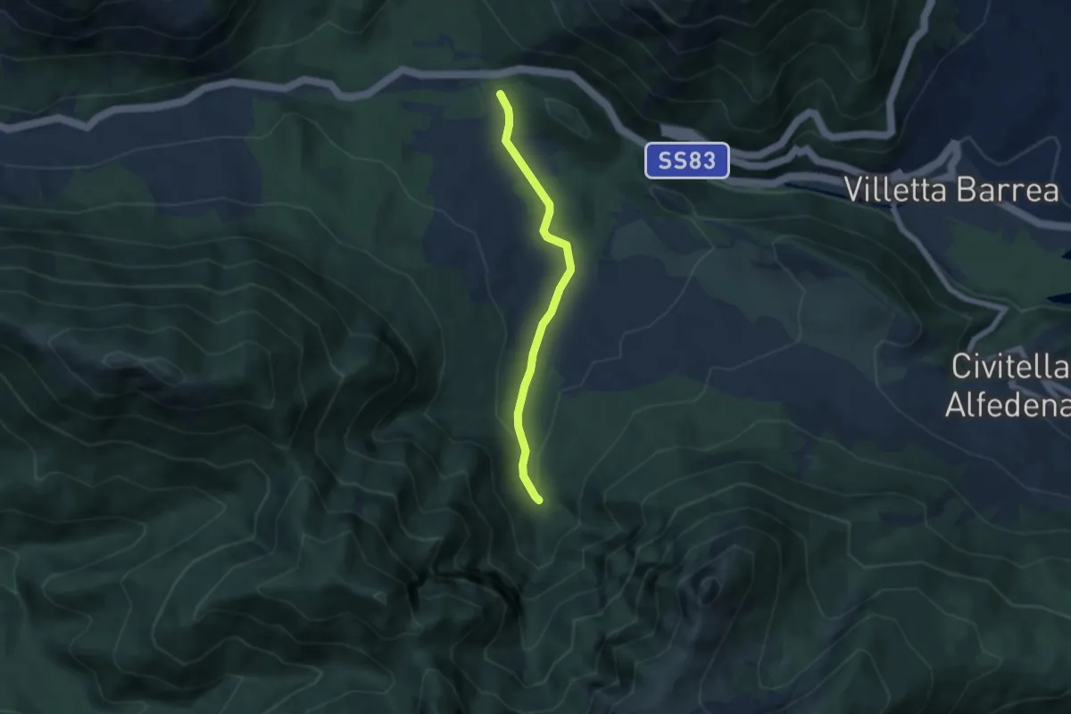
Easy · Trail
Piano della Corte – La Camosciara
5.4 km · ↑ 112 m · 1 h 31 min
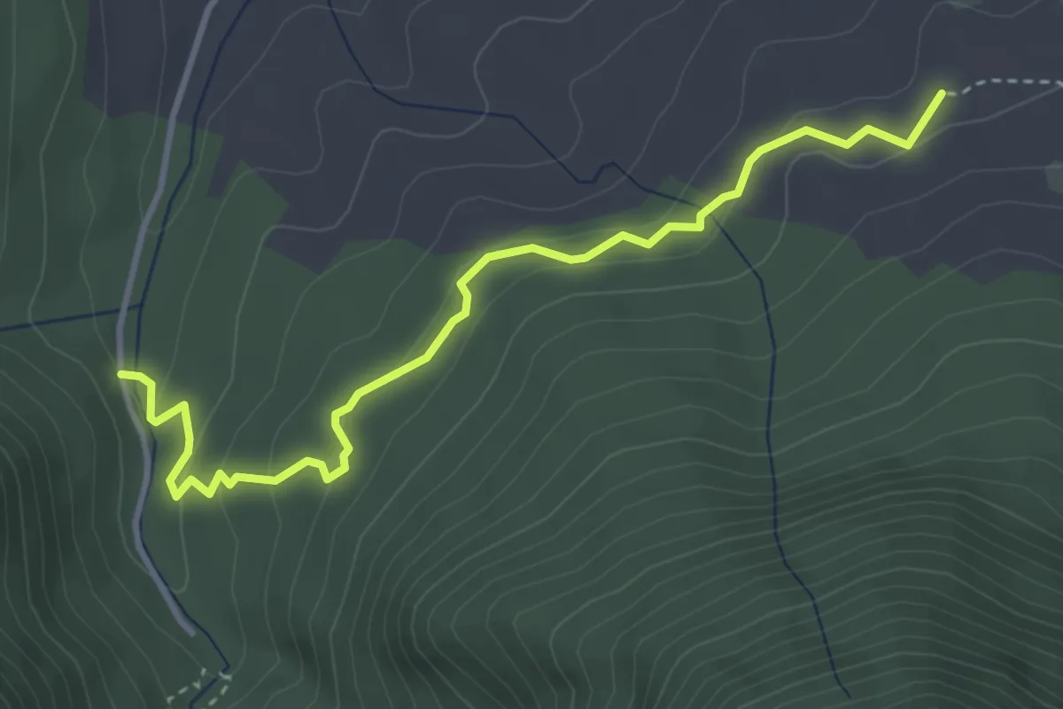
Demanding · Trail
Colle Jajacque – La Camosciara
4.3 km · ↑ 156 m · 1 h 21 min
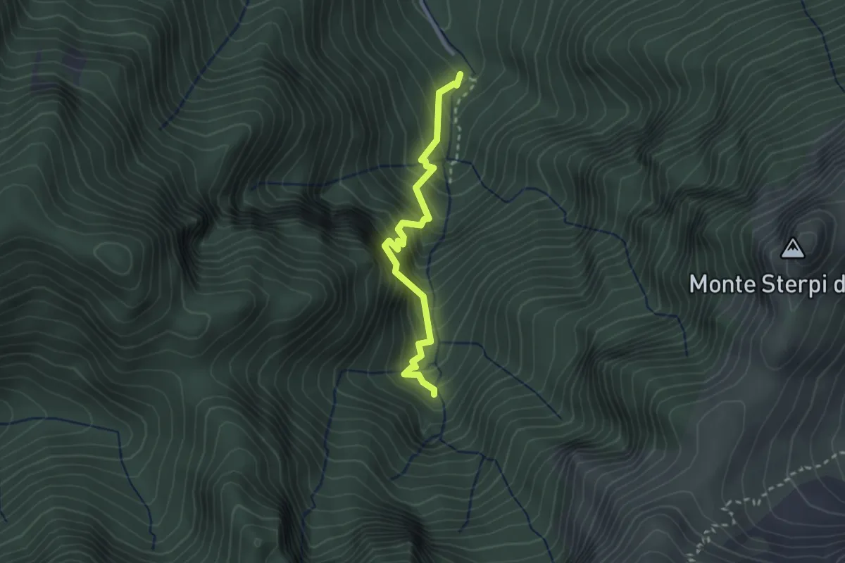
Demanding · Trail
La Camosciara – Rifugio Belvedere della Liscia
2.7 km · ↑ 441 m · 1 h 36 min
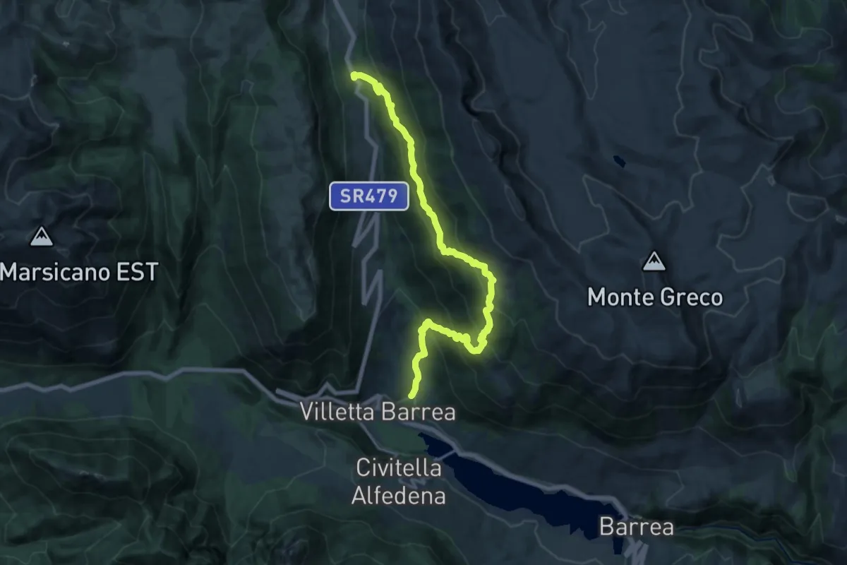
Demanding · Trail
Villetta Barrea – Anatuccio
18.8 km · ↑ 1395 m · 7 h 28 min
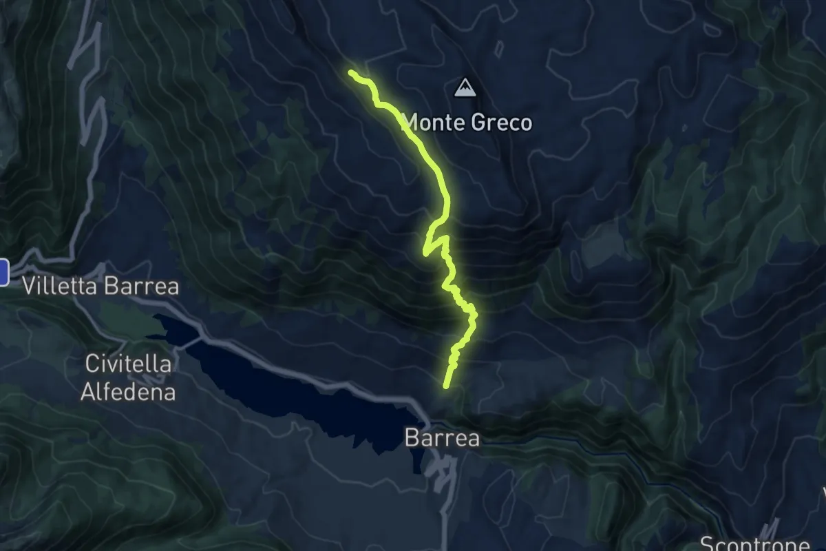
Demanding · Trail
Fonte Canarelle – Rocca Chiarano
12.0 km · ↑ 1023 m · 5 h 3 min
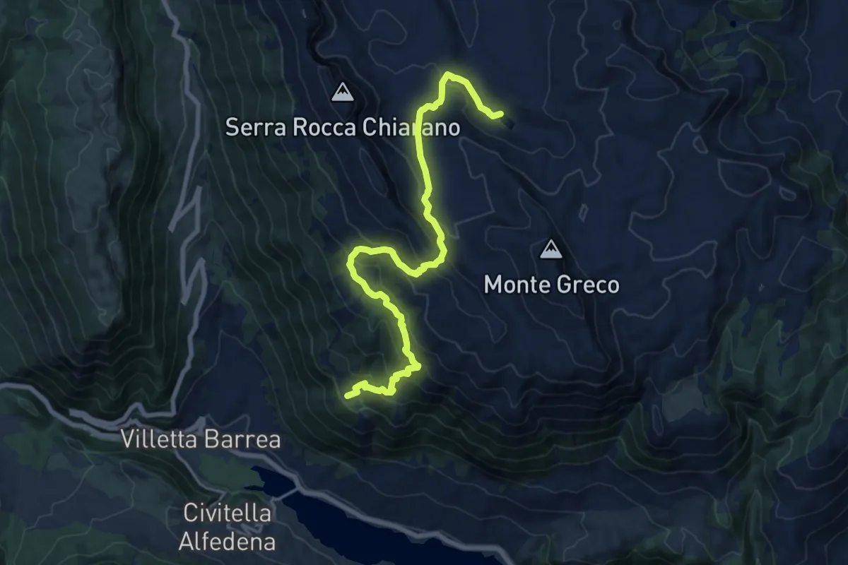
Expert · Summit
Villetta Barrea – Lago Pantaniello
17.4 km · ↑ 1094 m · 6 h 29 min
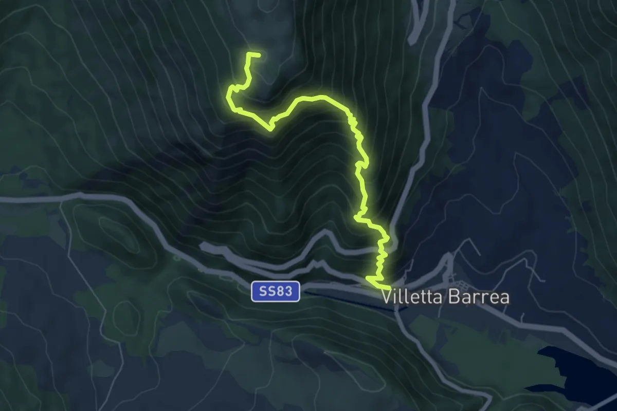
Demanding · Summit
Villetta Barrea – Stazzo Le Macchie
7.3 km · ↑ 876 m · 3 h 38 min
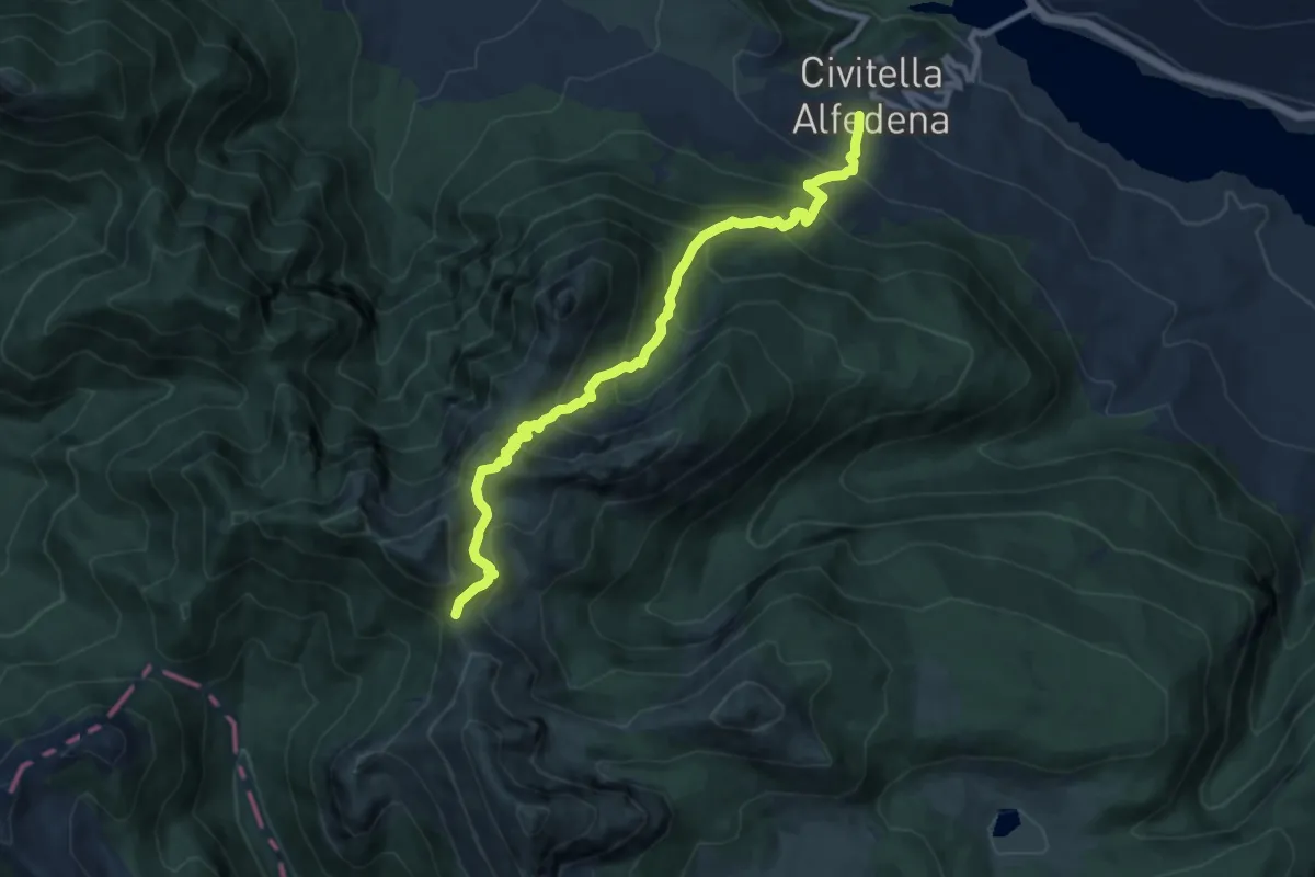
Demanding · Cabin
Civitella Alfedena – Rifugio Forca Resuni
10.1 km · ↑ 1005 m · 4 h 34 min
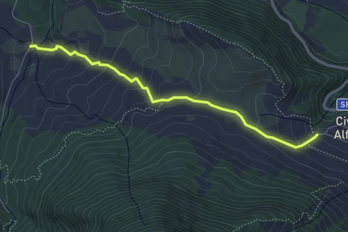
Demanding · Trail
Civitella Alfedena – Pian del Molino
5.5 km · ↑ 257 m · 1 h 51 min
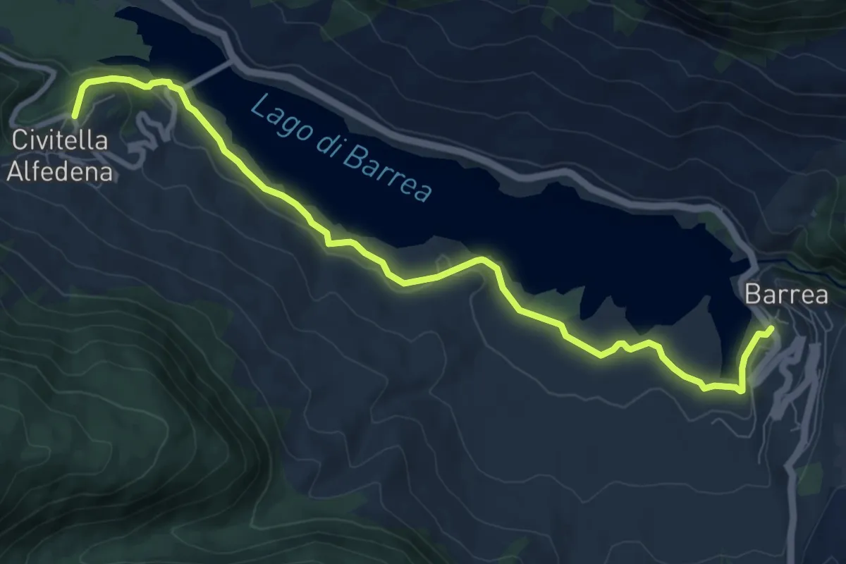
Medium · Trail
Civitella Alfedena – Barrea
10.3 km · ↑ 259 m · 3 h
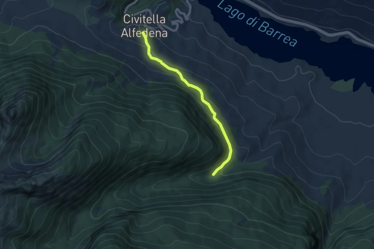
Easy · Trail
Civitella Alfedena – Sorgente Iannanghera
5.2 km · ↑ 165 m · 1 h 35 min
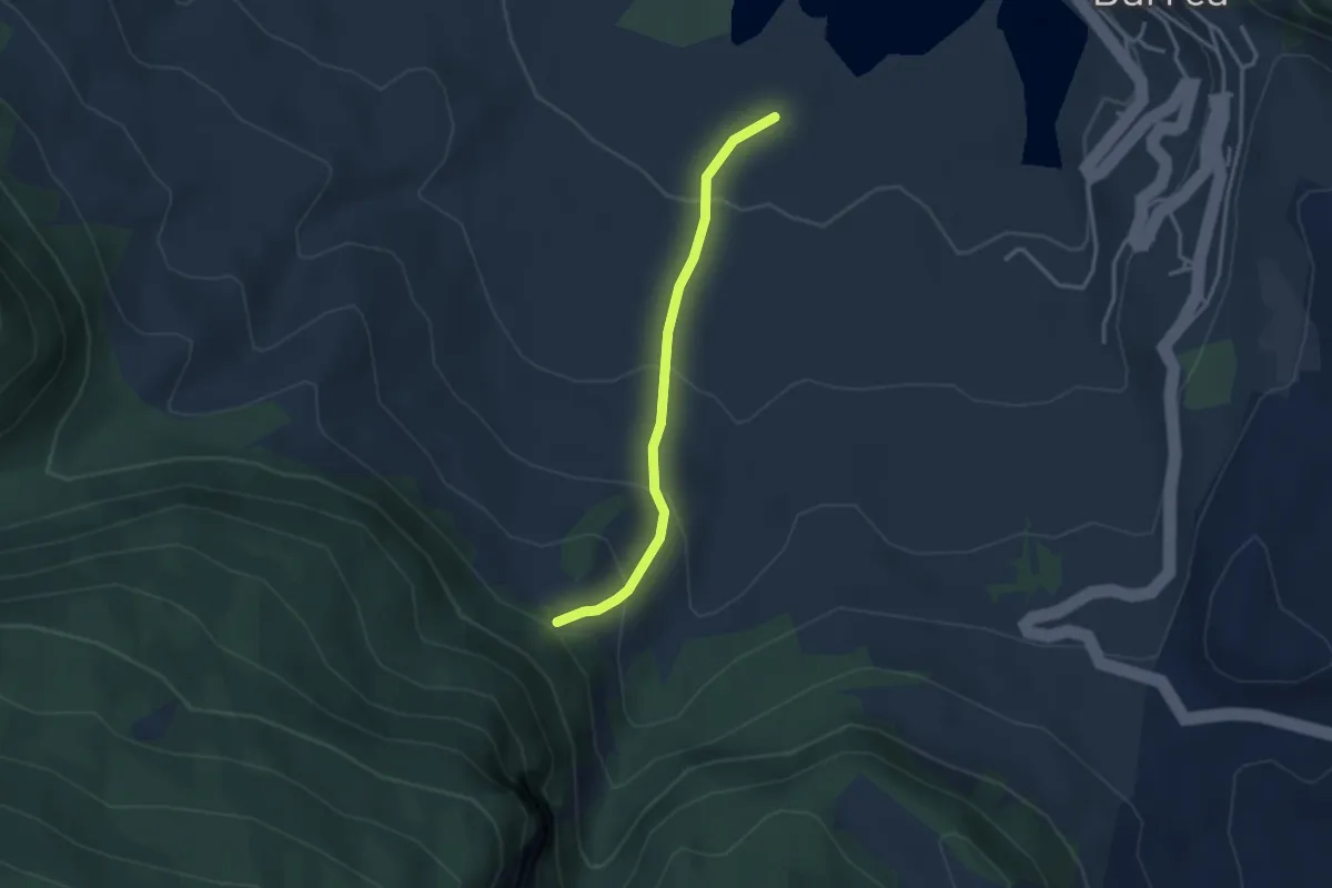
Easy · Trail
Convento dei Monaci – Sorgente delle Donne
3.2 km · ↑ 209 m · 1 h 12 min
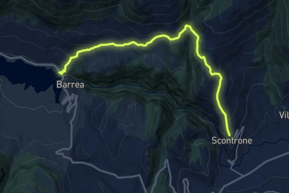
Demanding · Trail
Barrea – Scontrone
14.6 km · ↑ 910 m · 5 h 25 min
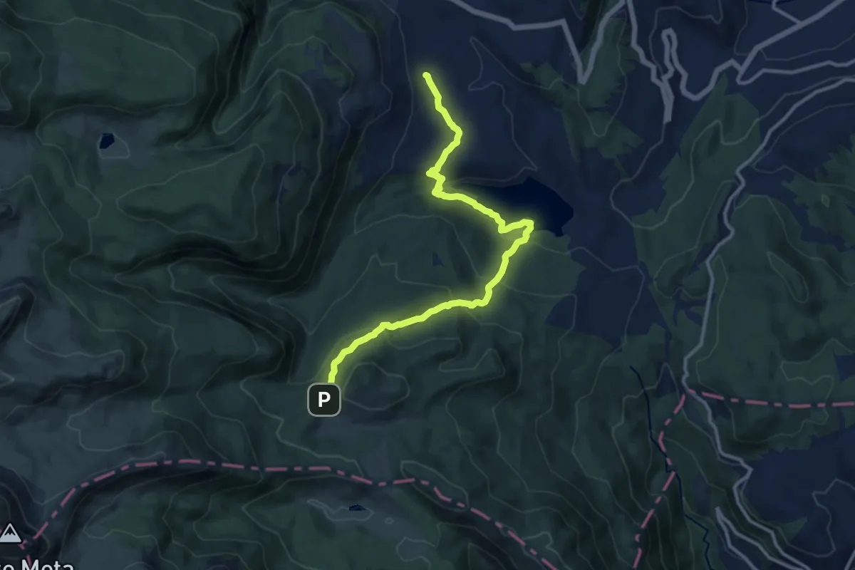
Medium · Trail
Valico di Barrea – Campitelli
12.7 km · ↑ 559 m · 4 h 12 min
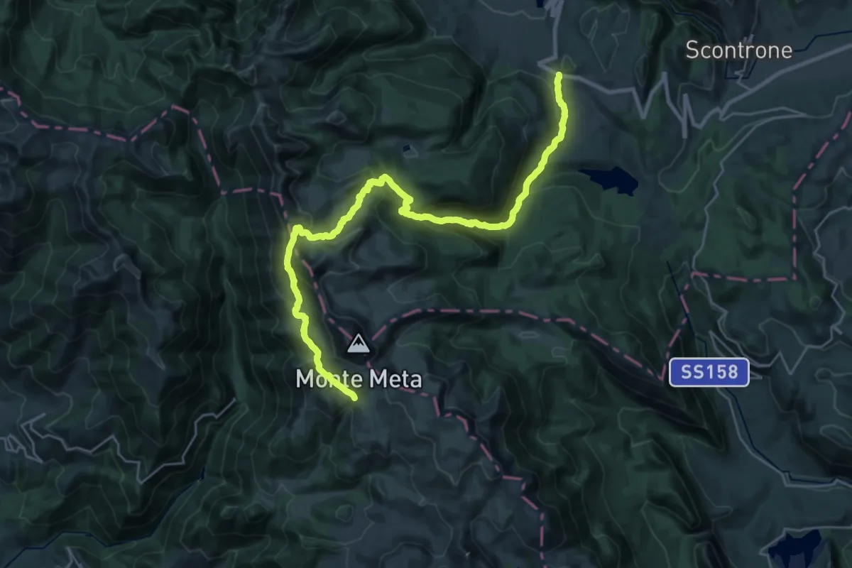
Demanding · Trail
Valico di Barrea – Prato Lungo
15.0 km · ↑ 445 m · 5 h 4 min
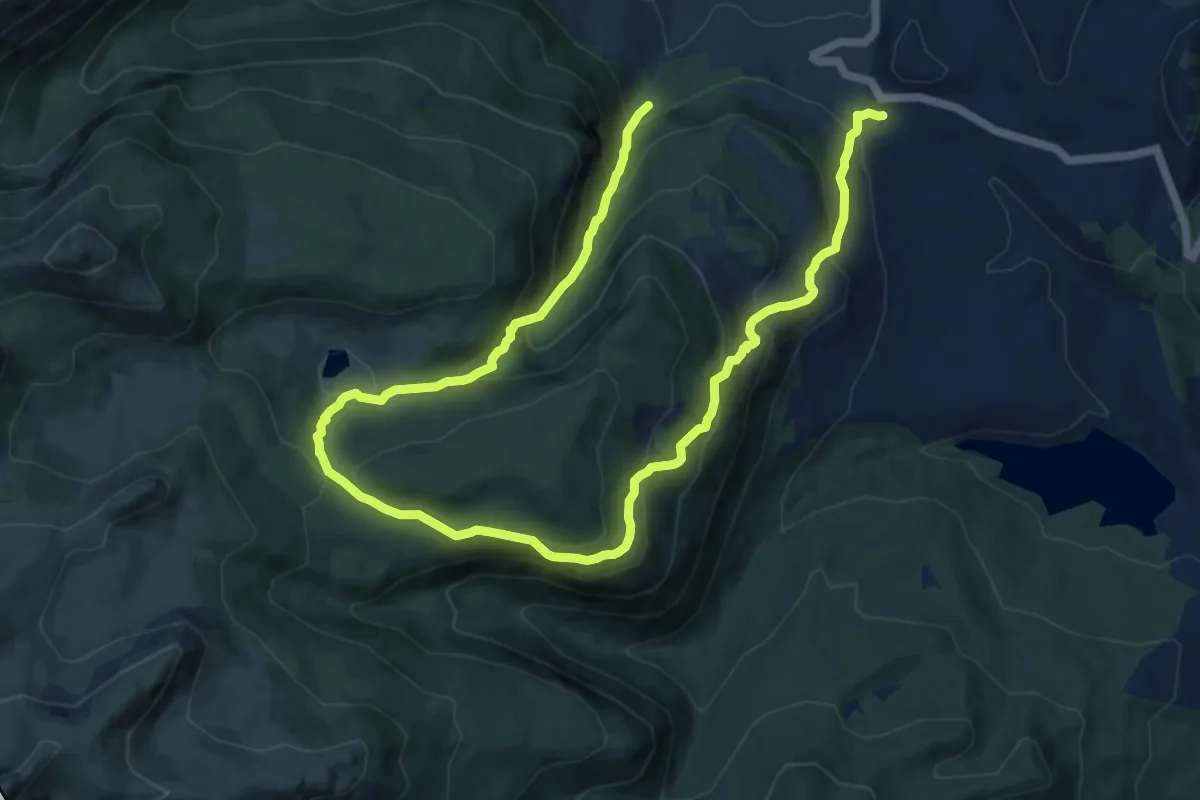
Demanding · Trail
Valico di Barrea – Sorgente delle Donne
17.9 km · ↑ 1144 m · 6 h 42 min
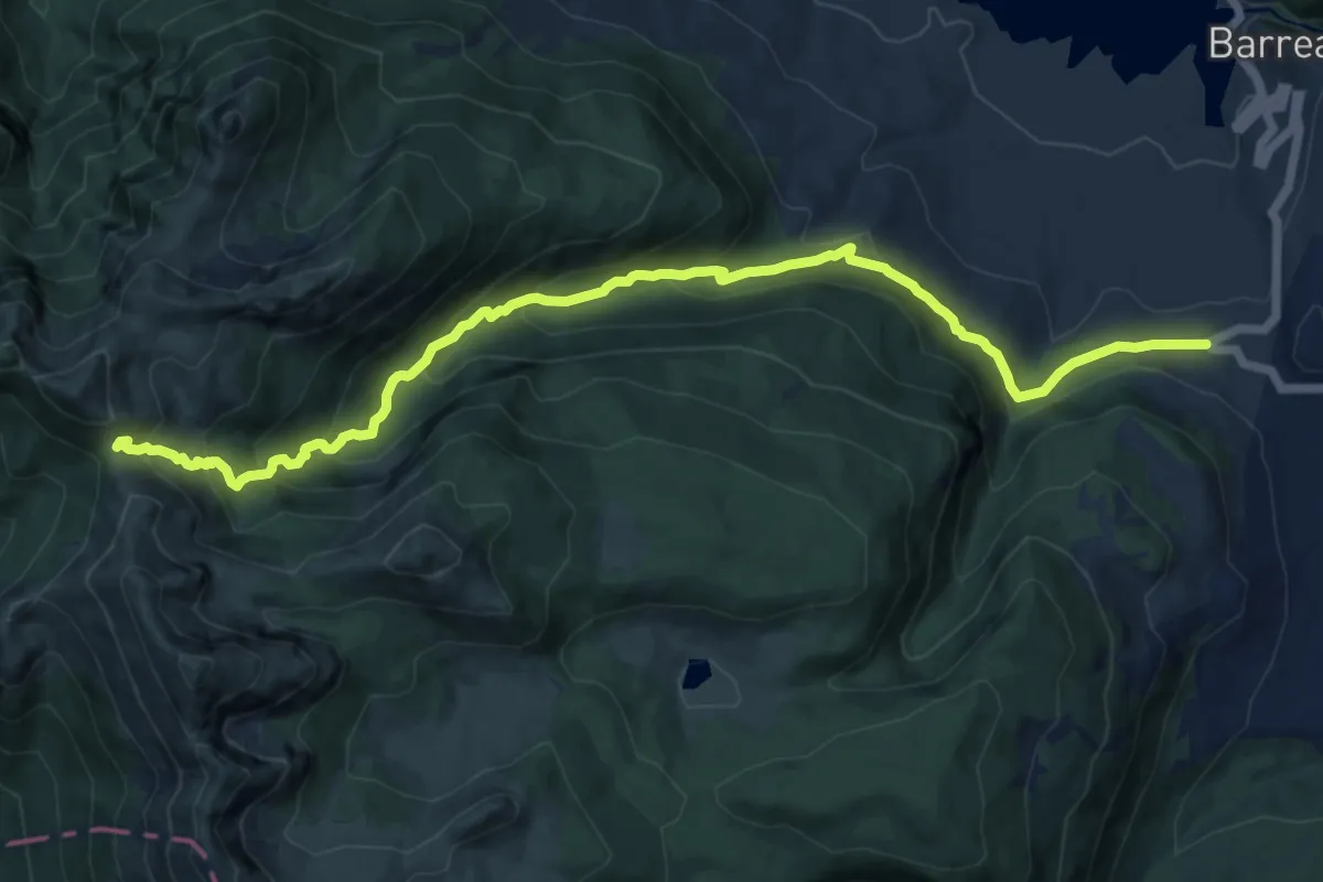
Demanding · Cabin
Sorgente Sambuco – Rifugio Forca Resuni
15.2 km · ↑ 885 m · 5 h 30 min
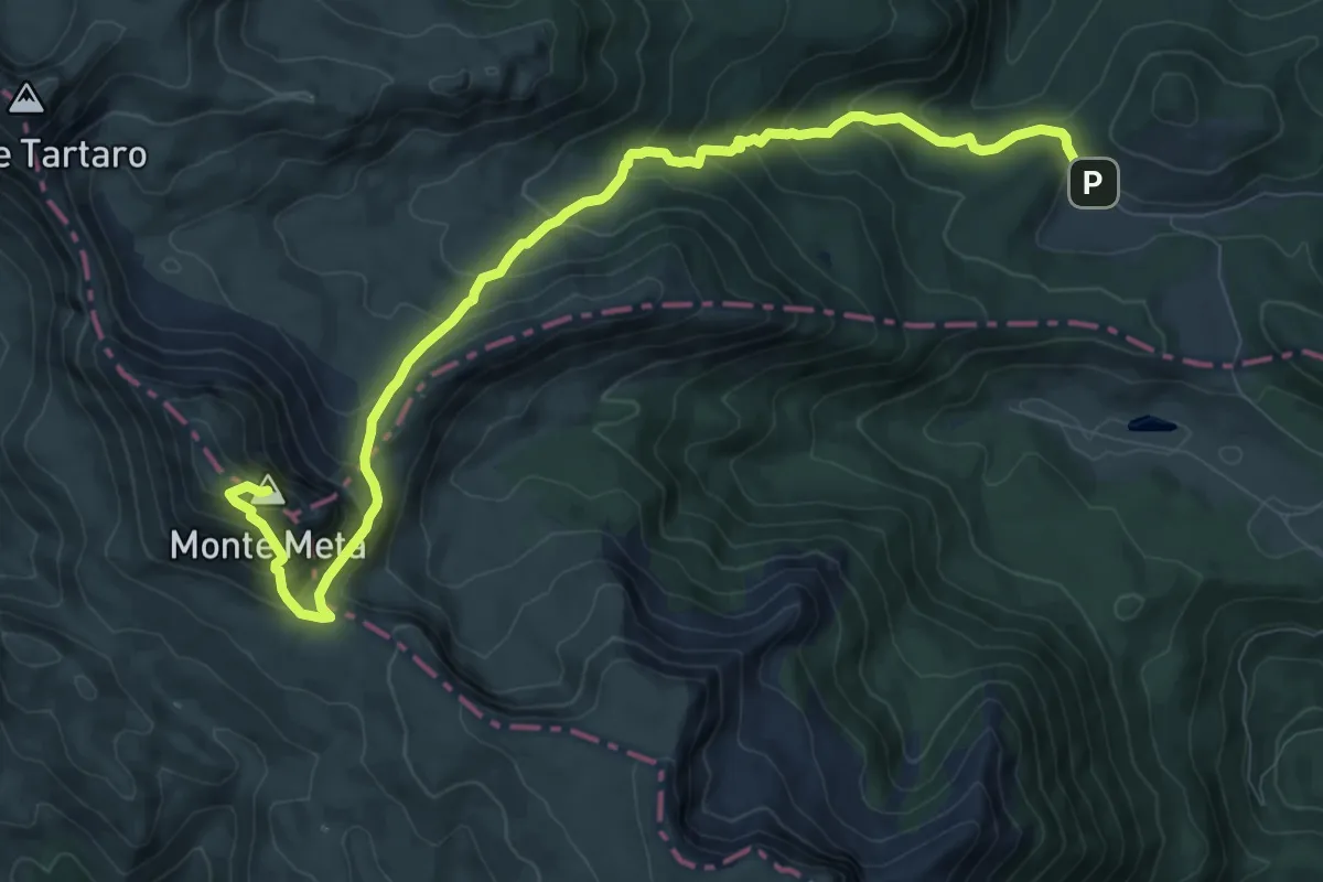
Demanding · Summit
Campitelli – Monte La Meta
11.7 km · ↑ 873 m · 4 h 39 min
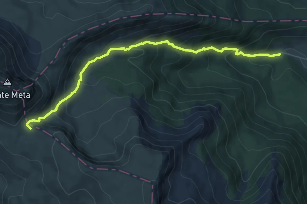
Medium · Trail
Le Forme – Passo dei Monaci
7.3 km · ↑ 581 m · 3 h
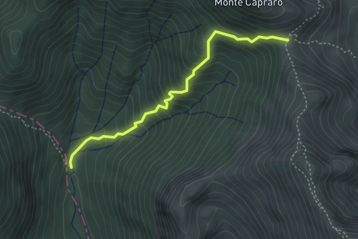
Medium · Cabin
Valle Tre Confini – Rifugio Forca Resuni
3.8 km · ↑ 437 m · 1 h 50 min
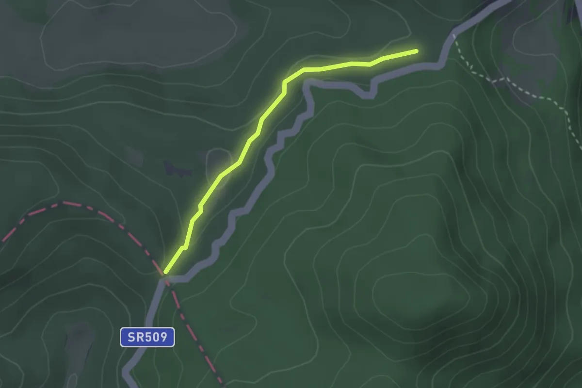
Easy · Trail
Forca D'Acero – Macchiarvana
2.6 km · ↑ 51 m · 43 min
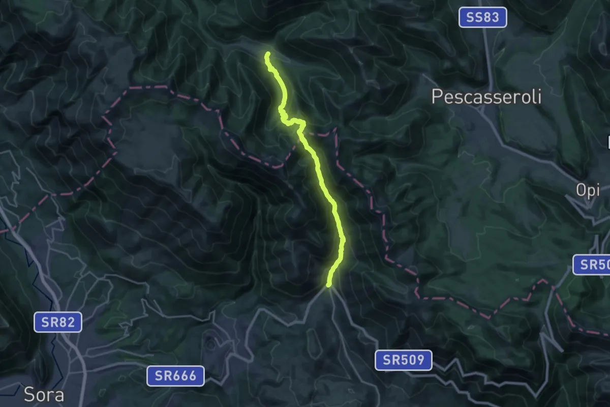
Demanding · Cabin
Capo D'Acqua – Prati D'Angro
19.8 km · ↑ 1419 m · 7 h 45 min
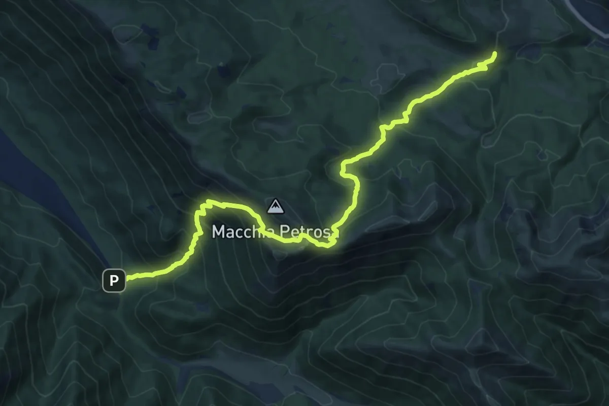
Demanding · Trail
Madonna della Lanna – Fonte della Cicerana
18.5 km · ↑ 1263 m · 7 h 6 min
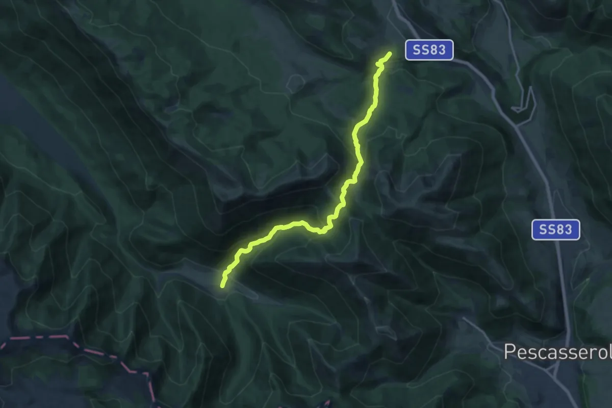
Demanding · Trail
Prati D'Angro – Spineto
15.7 km · ↑ 979 m · 5 h 49 min
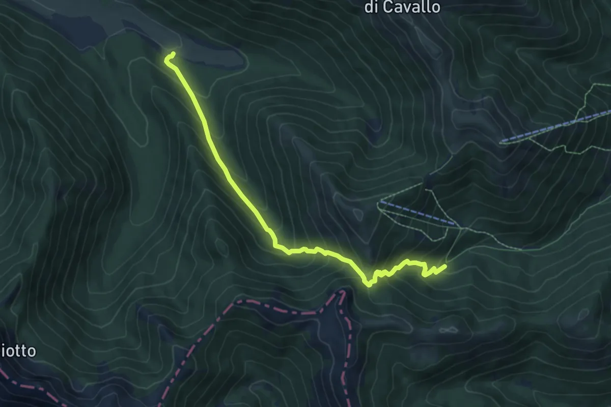
Medium · Trail
Vallone Pesco Di Iorio – Prati D'Angro
8.4 km · ↑ 705 m · 3 h 31 min
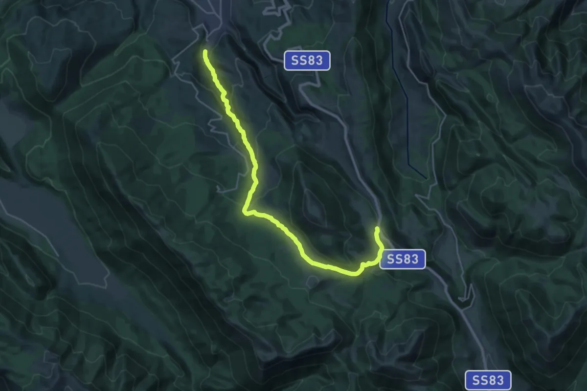
Demanding · Cabin
Passo del Diavolo – Lecce dei Marsi
24.3 km · ↑ 926 m · 7 h 45 min
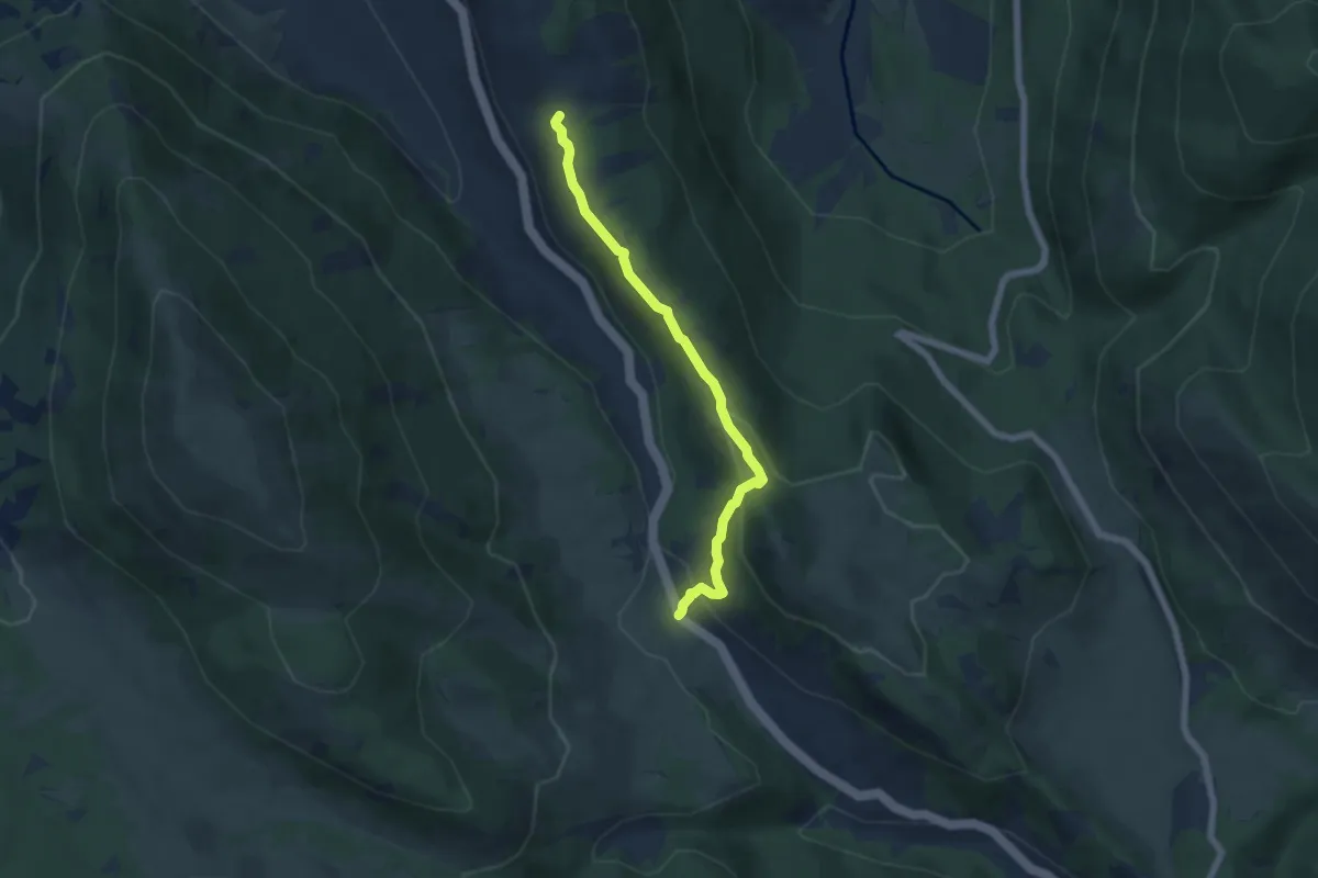
Easy · Trail
Passo del Diavolo – La Lungara
6.0 km · ↑ 206 m · 1 h 52 min
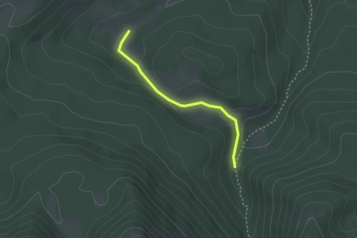
Easy · Trail
Fosso Perrone – Vallone Lampazzo
2.6 km · ↑ 62 m · 45 min
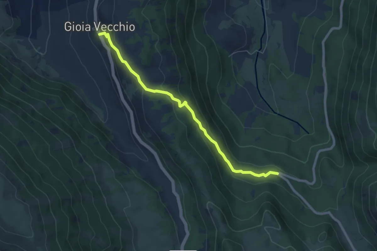
Easy · Trail
Gioia Vecchio – La Sorgente
6.4 km · ↑ 254 m · 2 h 3 min
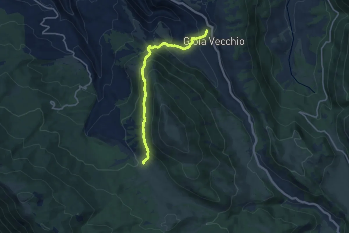
Medium · Cabin
Gioia Vecchio – Sorgente Le Prata
10.1 km · ↑ 599 m · 3 h 41 min
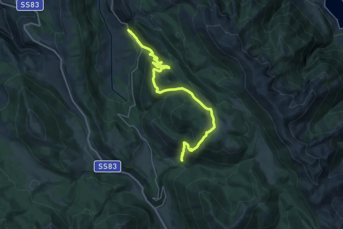
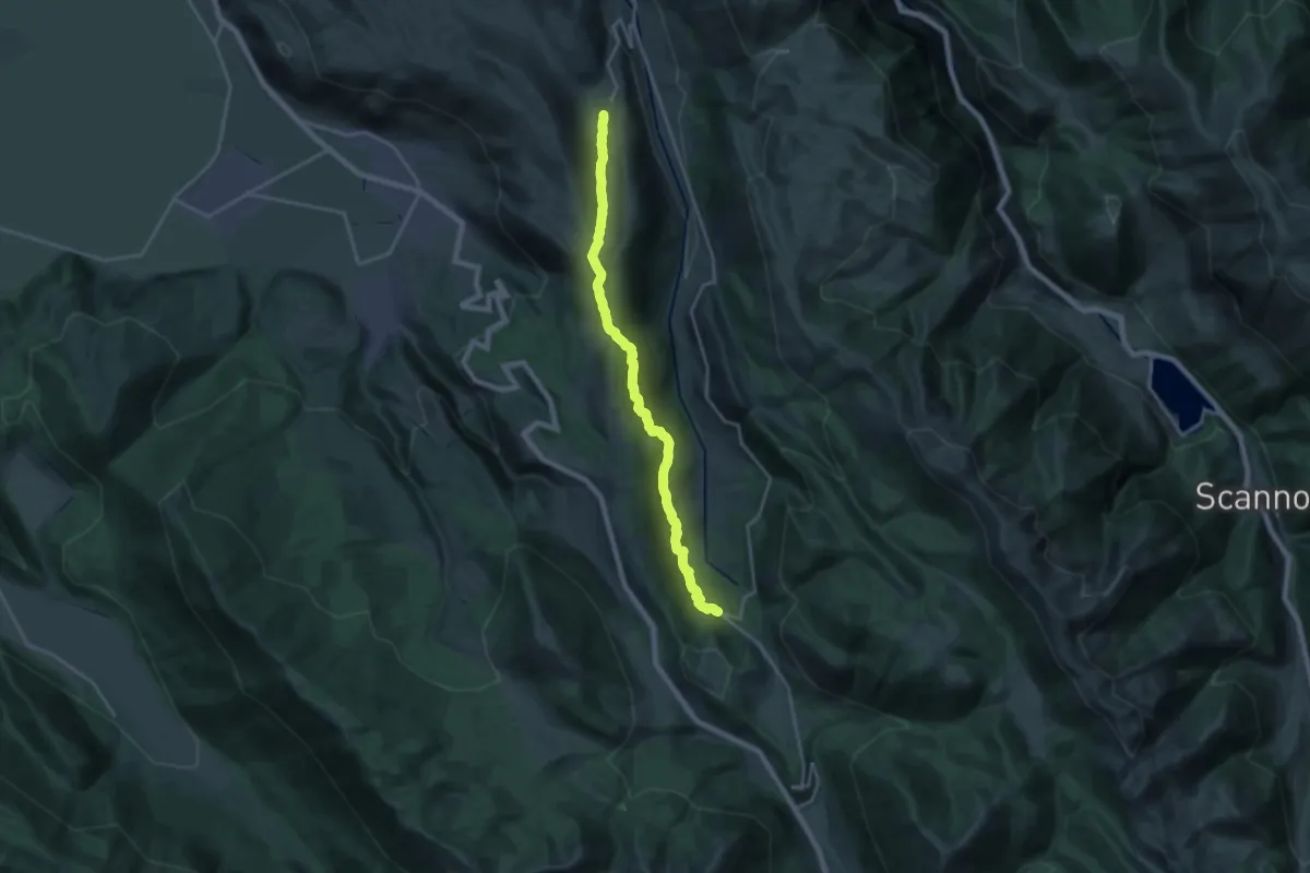
Demanding · Trail
La Morgia – Terraegna
10.9 km · ↑ 828 m · 4 h 24 min
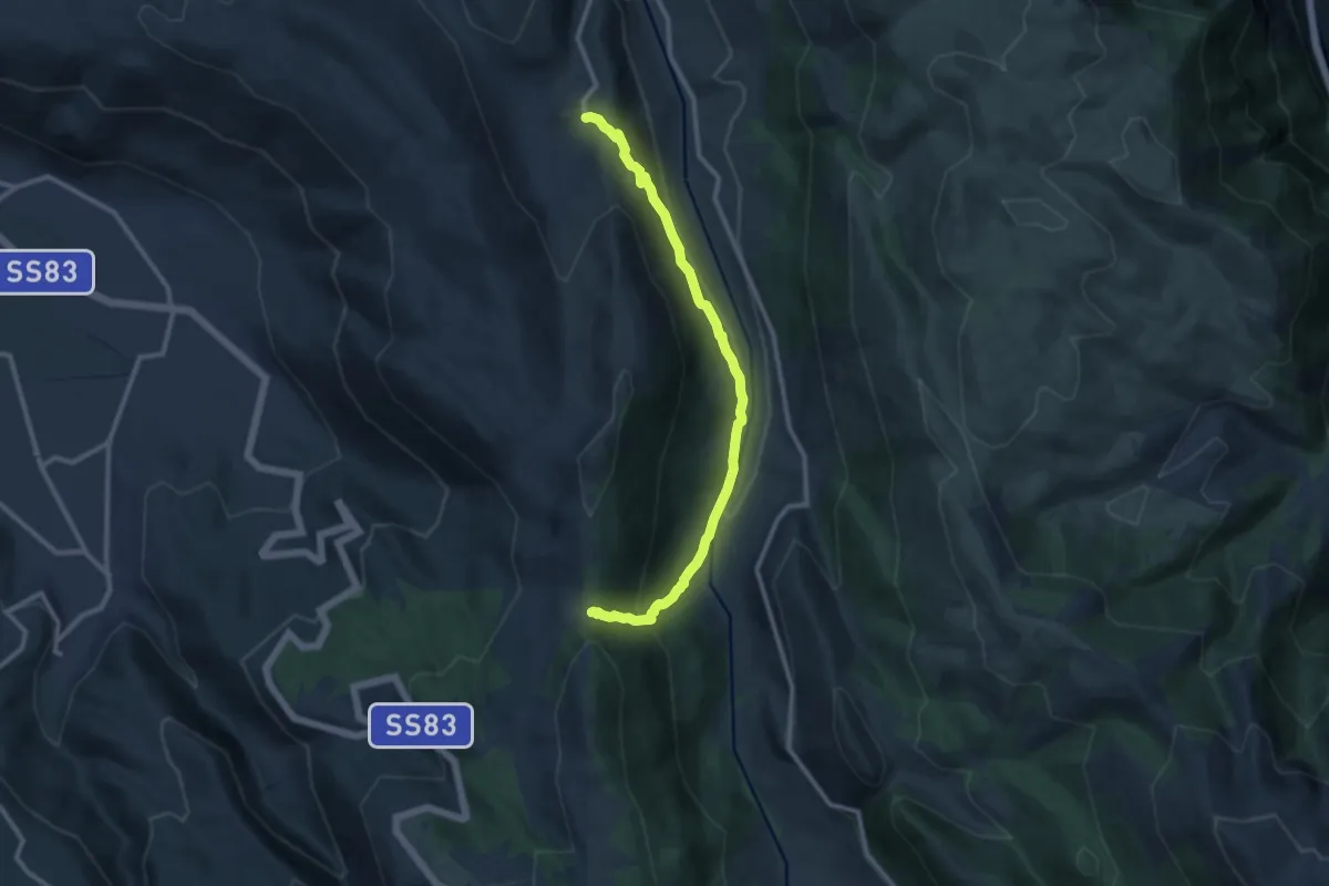
Demanding · Trail
Aschi Alto – La Sorgente
21.4 km · ↑ 881 m · 6 h 57 min
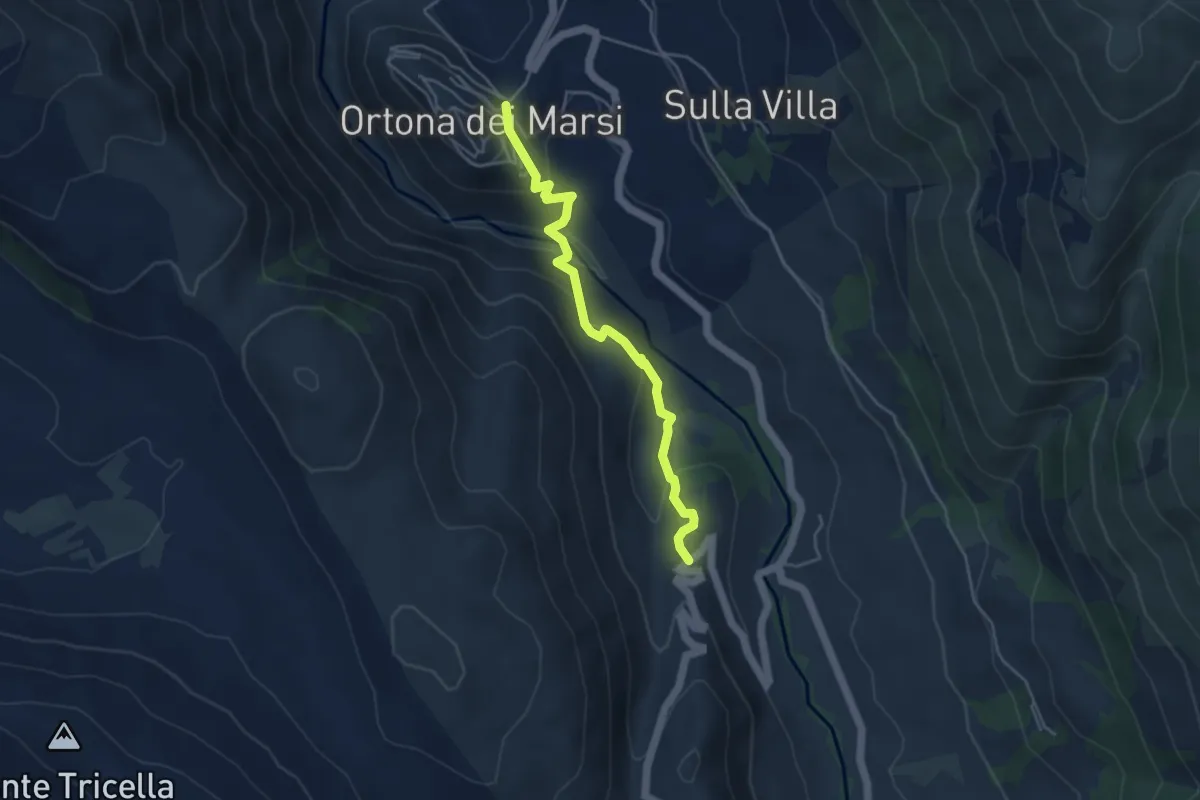
Medium · Trail
Aschi Alto – Forca di San Sebastiano
11.7 km · ↑ 611 m · 4 h 5 min
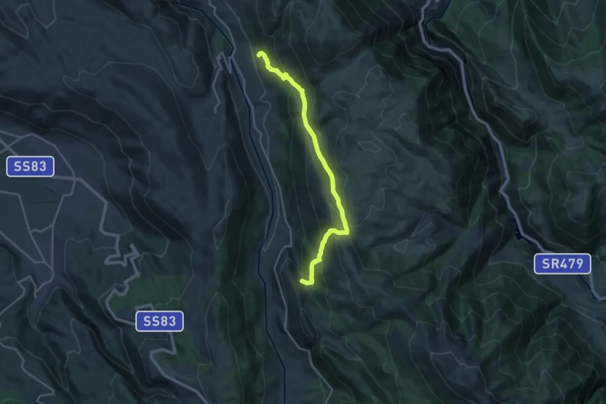
Easy · Trail
Ortona dei Marsi – Casalotto
4.7 km · ↑ 214 m · 1 h 34 min
Demanding · Trail
Santa Maria – La Cona
15.7 km · ↑ 964 m · 5 h 48 min
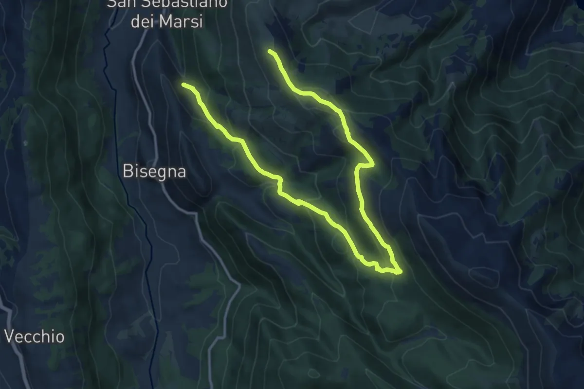
Demanding · Summit
La Cona – Festo
17.1 km · ↑ 825 m · 5 h 49 min
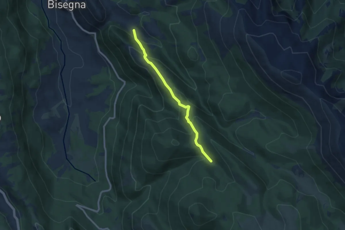
Medium · Trail
Fonte D'Appia – La Carrozza
6.7 km · ↑ 405 m · 2 h 27 min
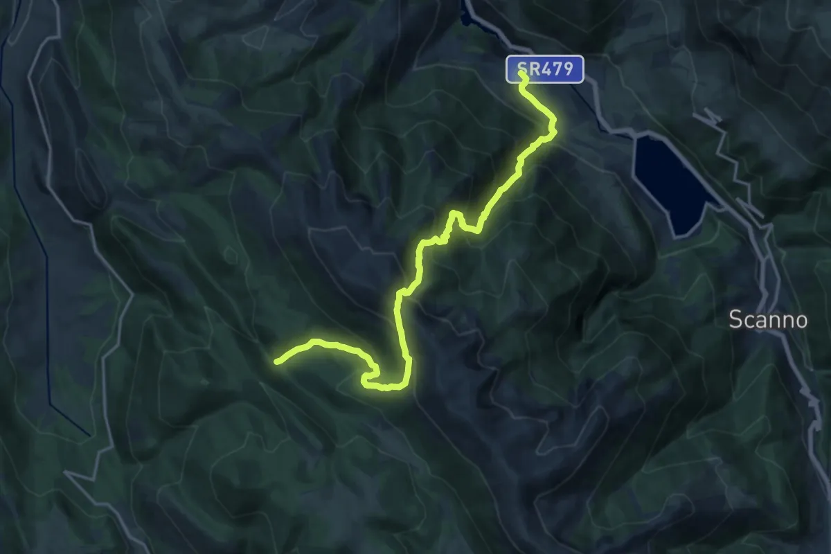
Demanding · Trail
Terraegna – Villalago
18.6 km · ↑ 1519 m · 7 h 40 min
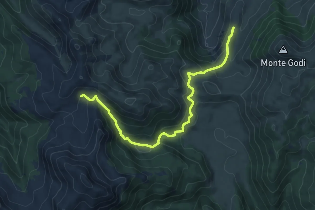
Medium · Trail
Stazzo Zio Mas – Stazzo Valico di Corte
10.2 km · ↑ 520 m · 3 h 32 min