Trails in Italy
25,219 hiking trails, each with its route, climb, walking time and grade.
All trails, page 273 of 526
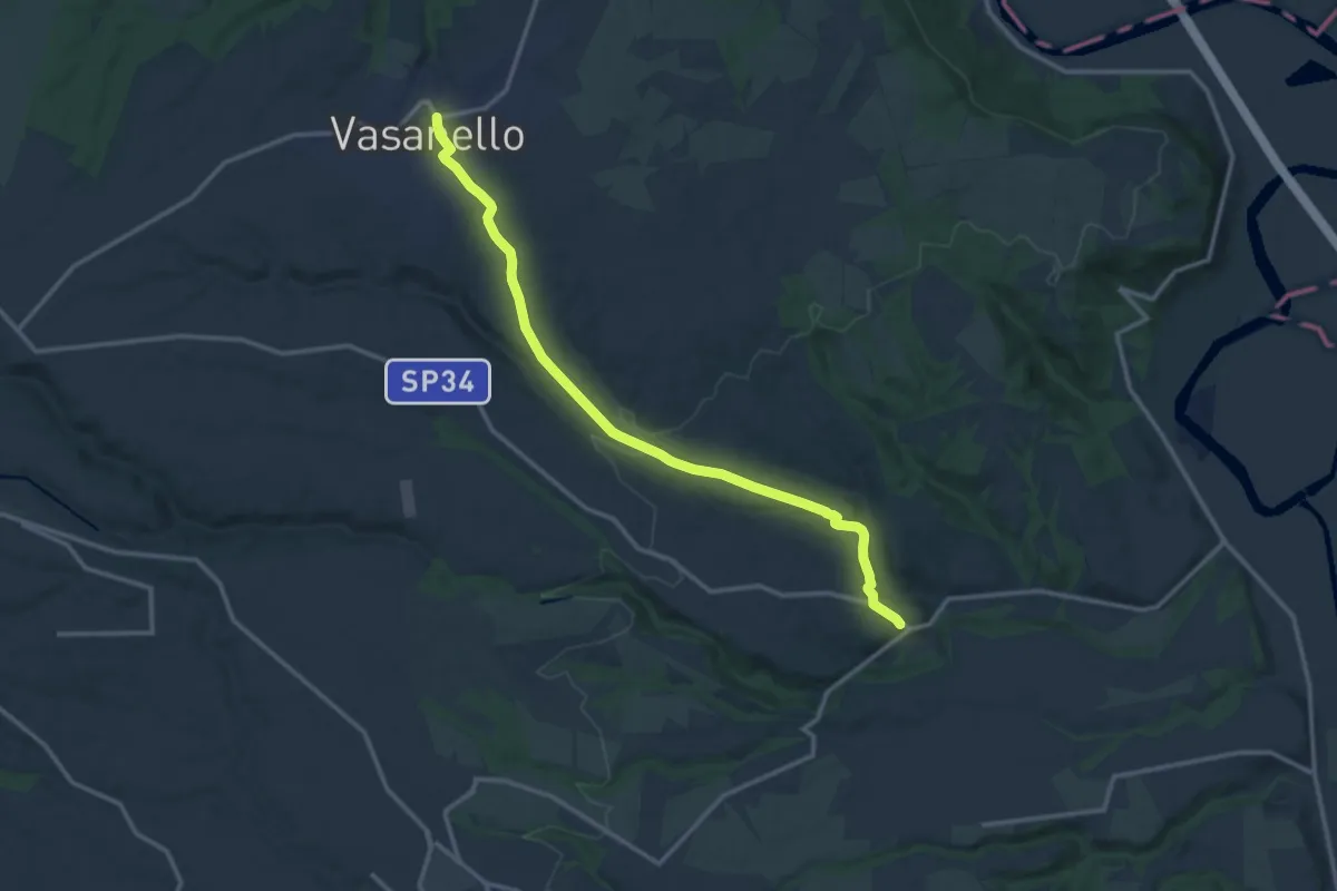
Medium · Trail
Gallese – Vasanello
14.9 km · ↑ 246 m · 4 h 2 min
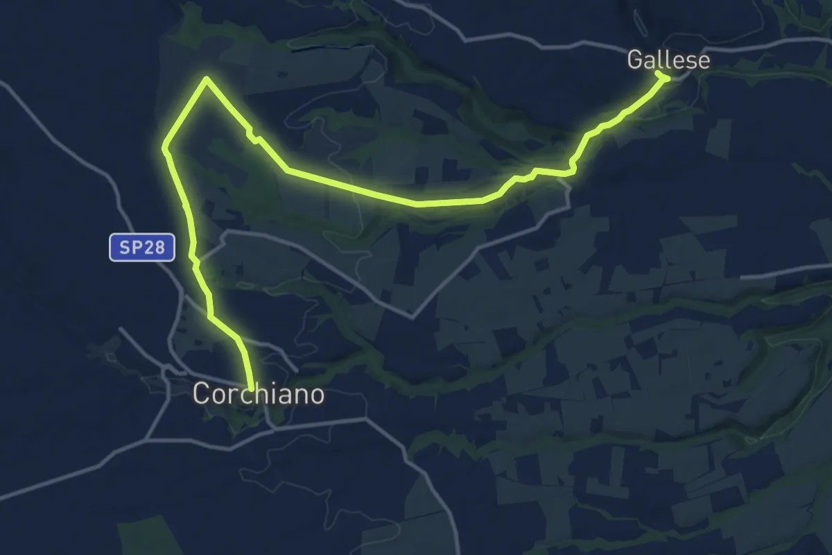
Medium · Trail
Gallese – Corchiano
17.6 km · ↑ 215 m · 4 h 37 min
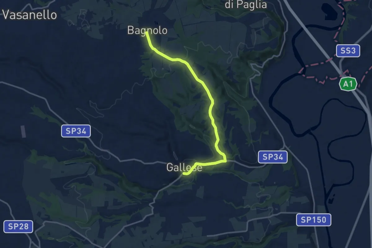
Medium · Trail
Gallese – Bagnolo innesto CT103
12.8 km · ↑ 212 m · 3 h 29 min
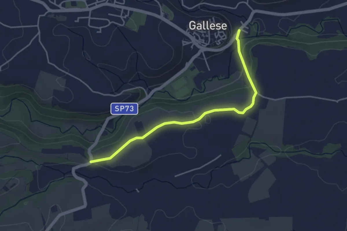
Easy · Trail
PERCORSO 191A – PERCORSO 191B
4.0 km · ↑ 60 m · 1 h 4 min
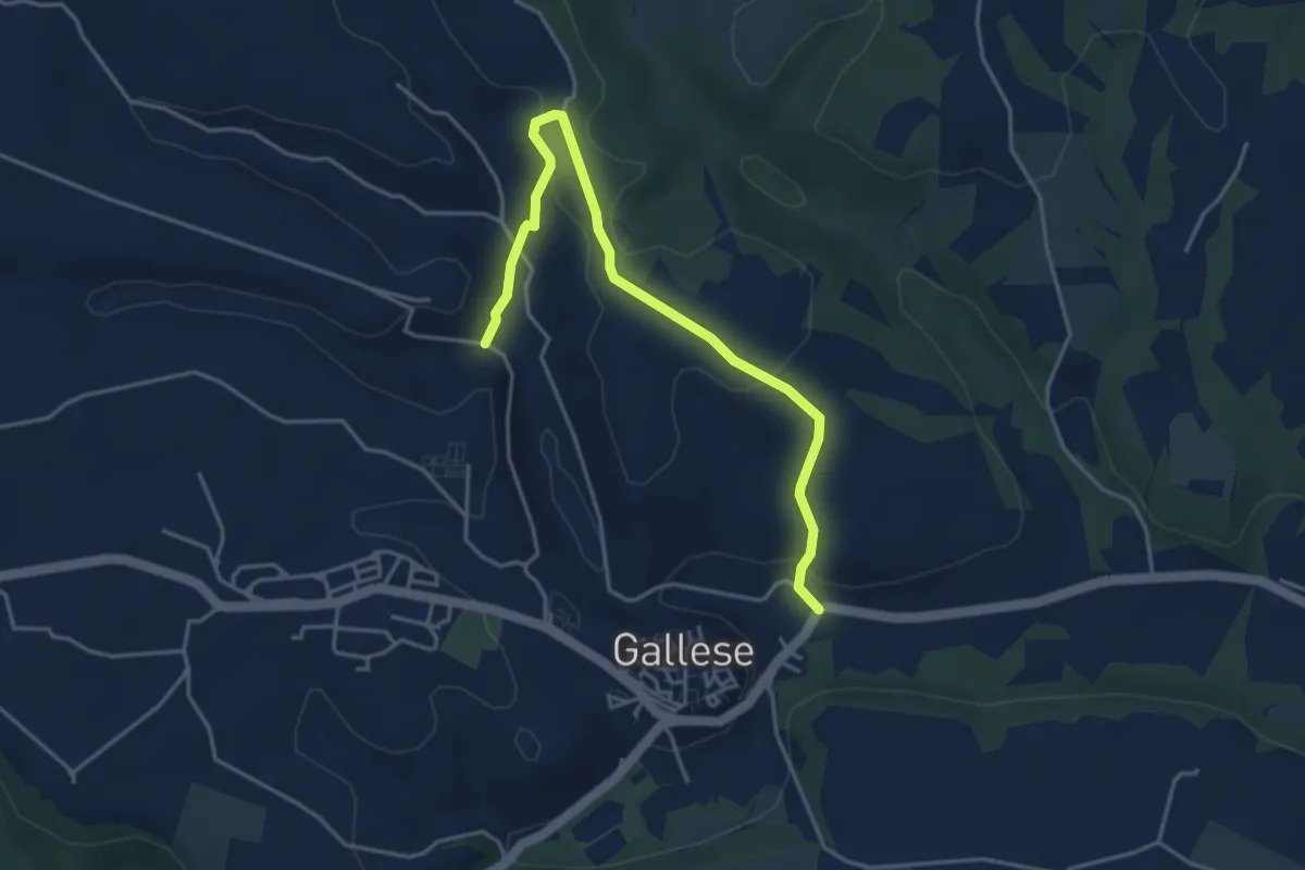
Easy · Trail
PERCORSO 191B – PERCORSO 191
4.7 km · ↑ 114 m · 1 h 22 min
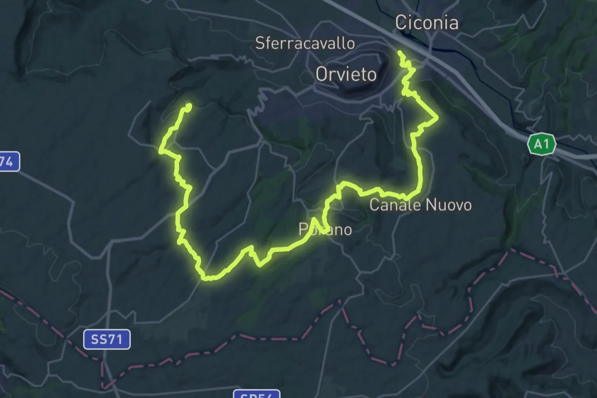
Demanding · Trail
Orvieto Scalo – Sugano
21.2 km · ↑ 594 m · 6 h 27 min
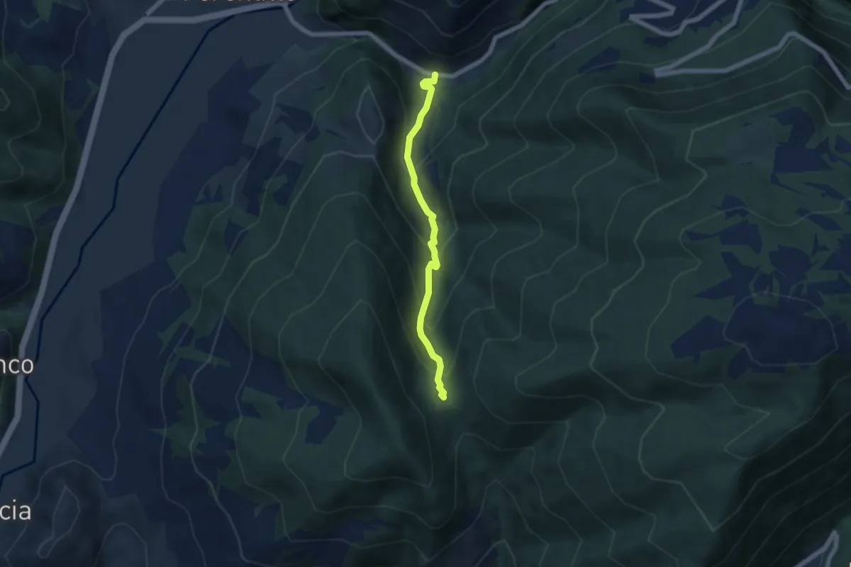
Medium · Trail
Monterivoso – Fonte Carpio
5.2 km · ↑ 429 m · 2 h 9 min
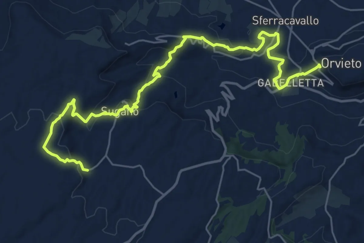
Demanding · Trail
Orvieto – Canonica
22.7 km · ↑ 784 m · 7 h 3 min
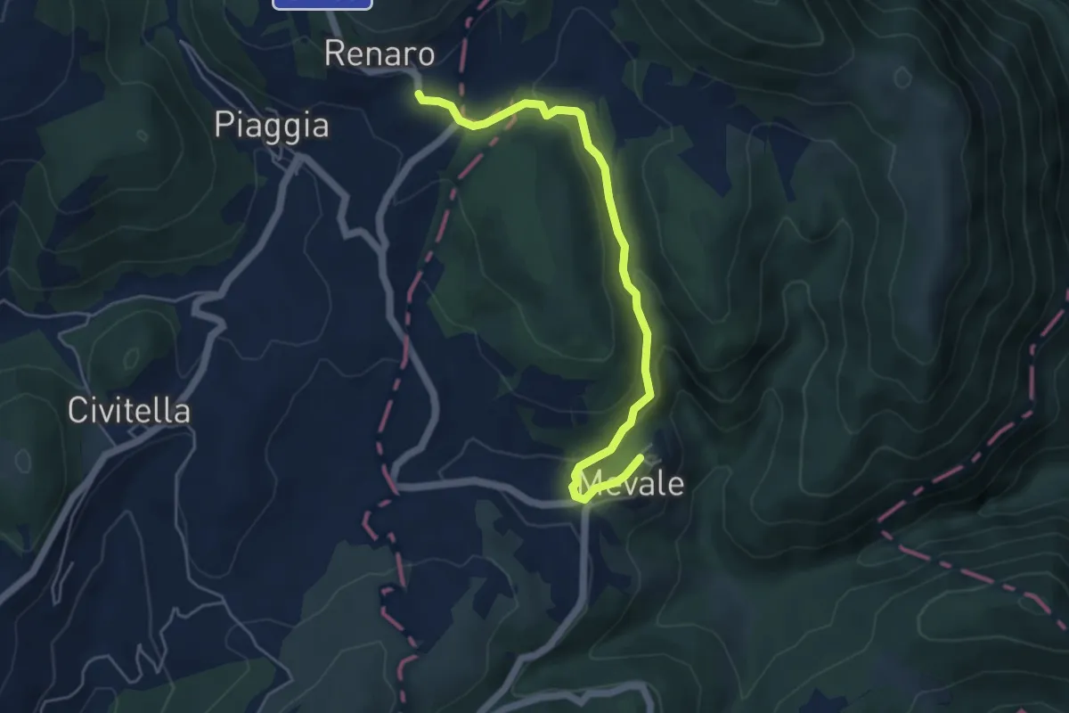
Easy · Trail
Mevale – Renaro
5.3 km · ↑ 181 m · 1 h 39 min
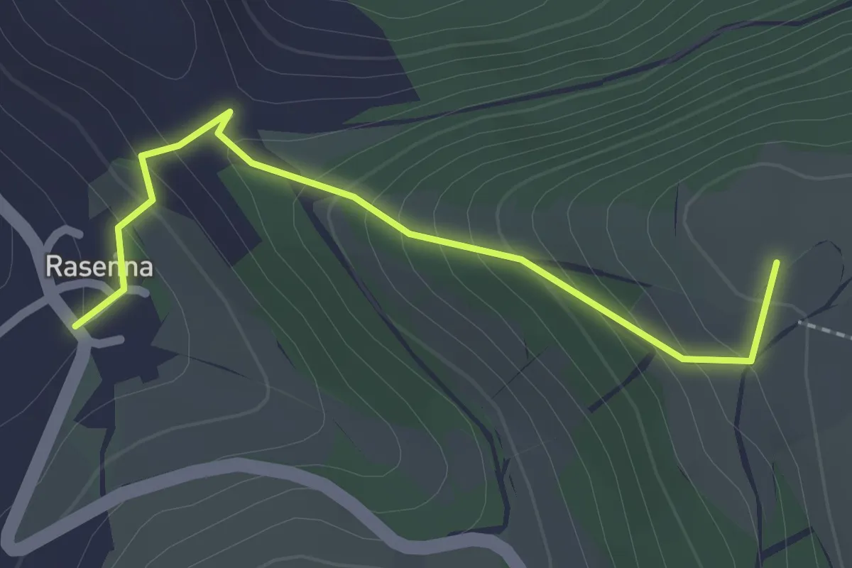
Easy · Summit
Rasenna – Riofreddo
2.2 km · ↑ 169 m · 54 min
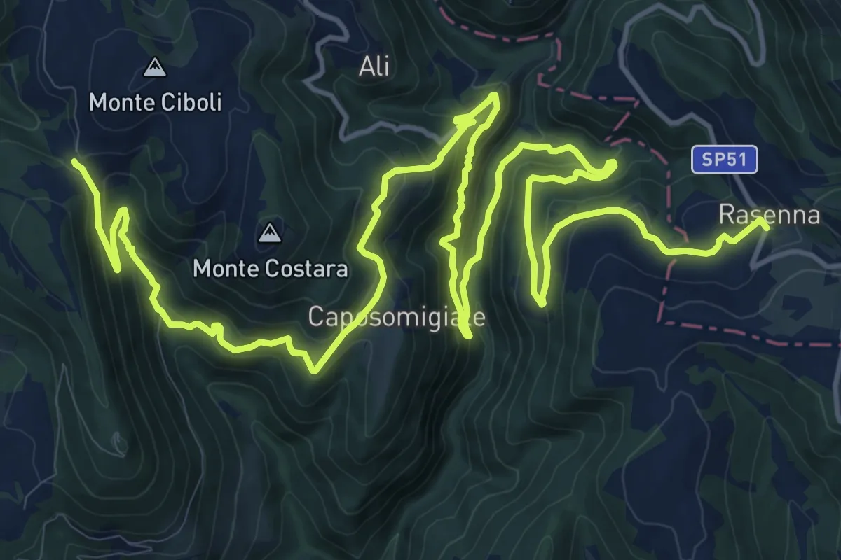
Medium · Trail
Croce di Roccafranca – Rasenna
12.2 km · ↑ 644 m · 4 h 30 min
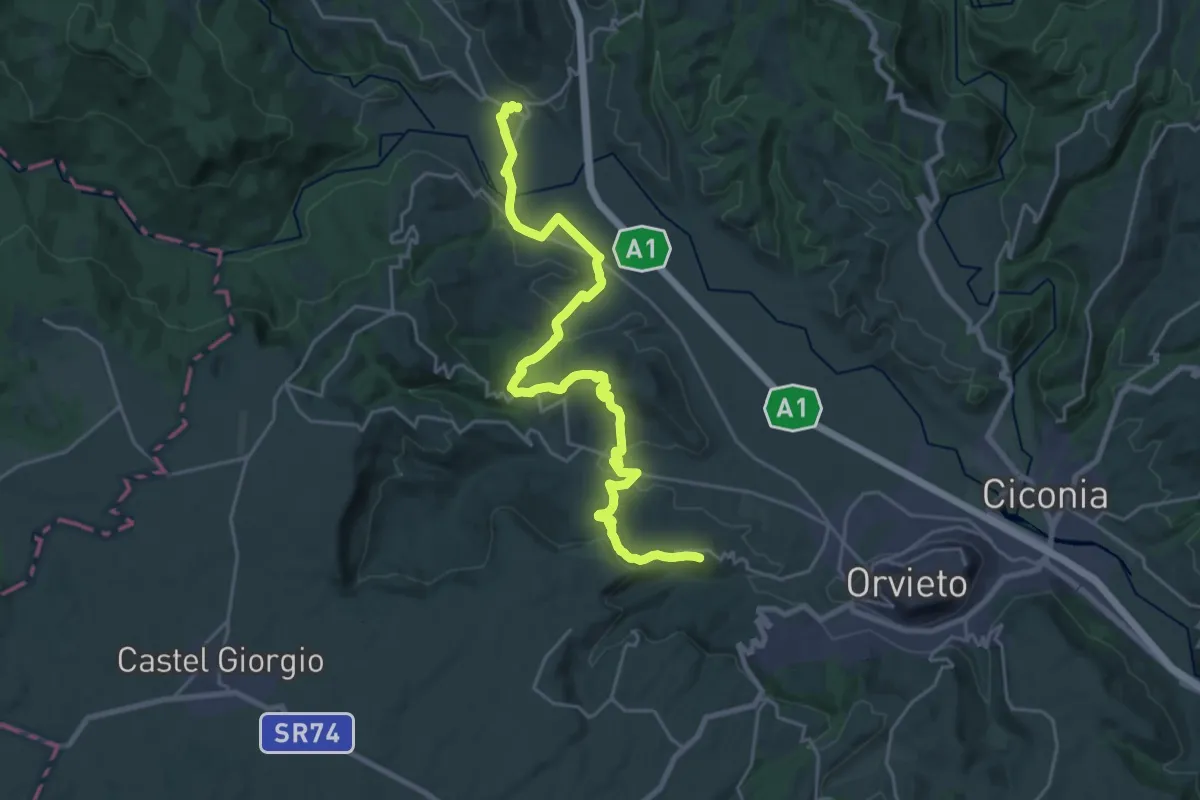
Medium · Trail
Allerona Scalo – Rocca Ripesena
14.2 km · ↑ 423 m · 4 h 23 min
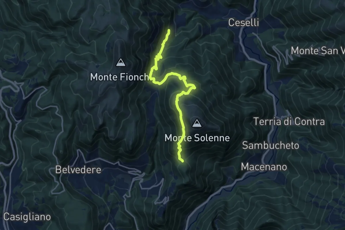
Demanding · Trail
Intersezione Via di Francesco – Intersezione percorso 607
13.9 km · ↑ 871 m · 5 h 10 min
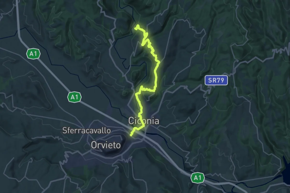
Demanding · Trail
Orvieto Scalo – Intersezione percorso 812
22.3 km · ↑ 669 m · 6 h 42 min
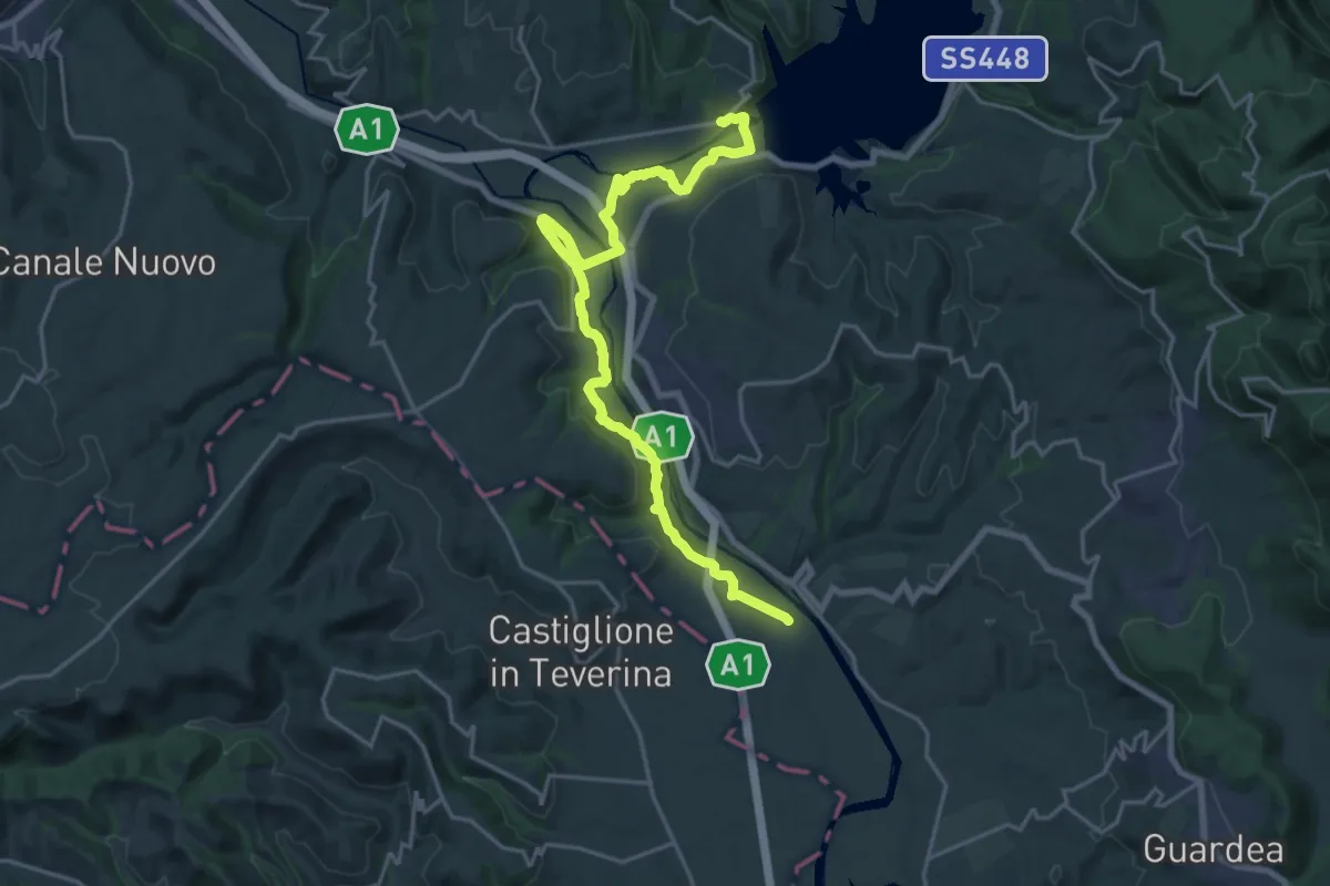
Demanding · Trail
Corbara – Stazione di Castiglione in Teverina
24.2 km · ↑ 484 m · 6 h 46 min
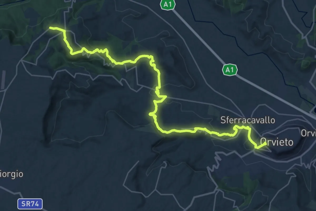
Medium · Trail
Castel Viscardo – Orvieto
15.4 km · ↑ 410 m · 4 h 51 min
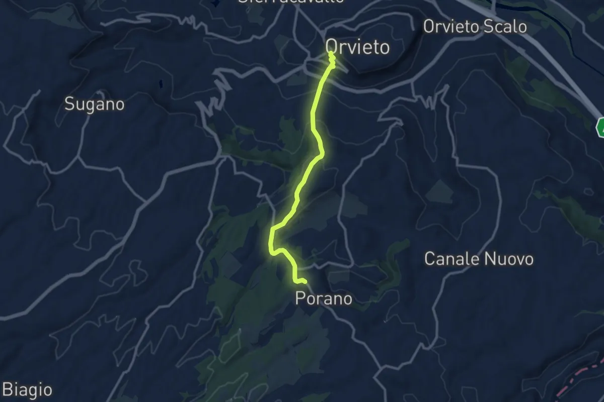
Medium · Trail
Orvieto – Porano
9.5 km · ↑ 380 m · 3 h 3 min
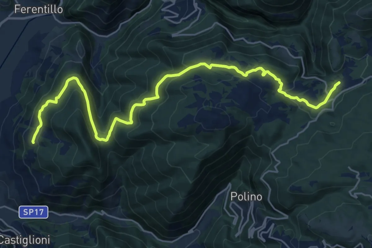
Demanding · Trail
Tripozzo – Salto del Cieco
21.5 km · ↑ 878 m · 6 h 59 min
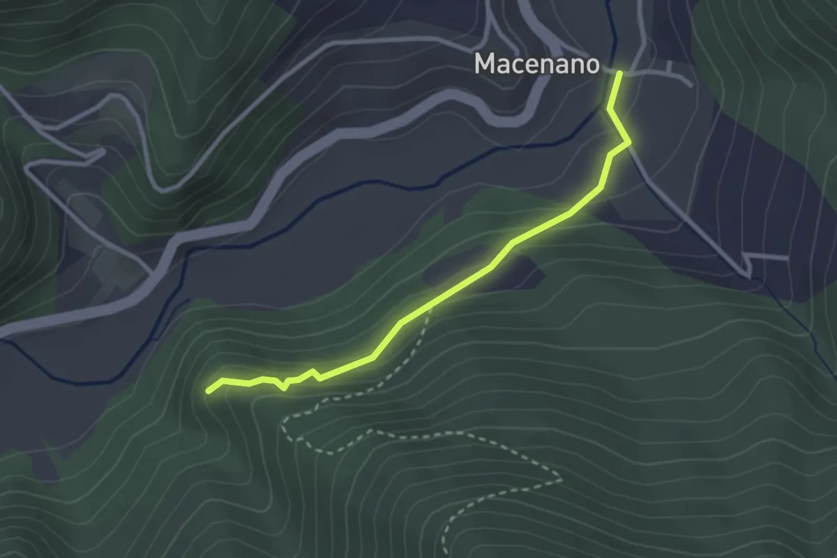
Easy · Trail
Colleponte – Umbriano
2.8 km · ↑ 141 m · 58 min
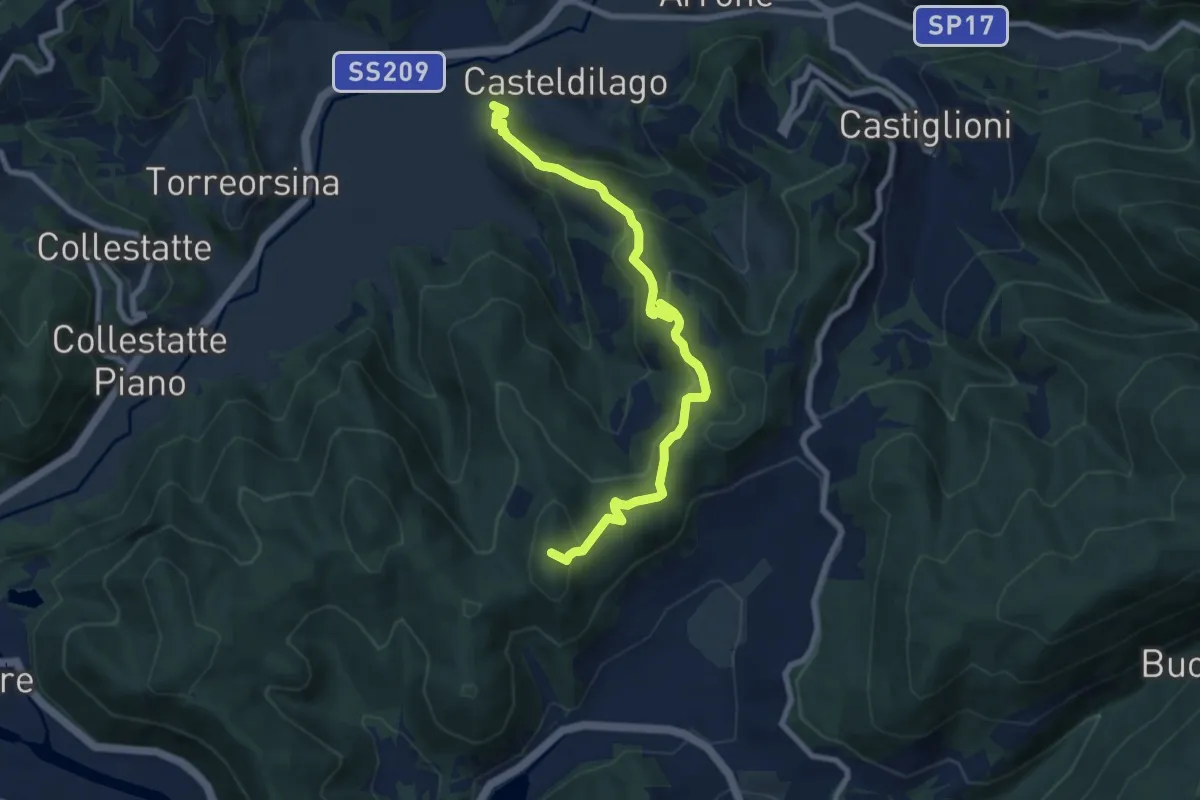
Medium · Summit
Cascata delle Marmore – Castel di Lago
9.1 km · ↑ 526 m · 3 h 17 min
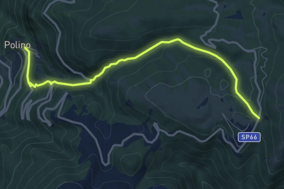
Medium · Trail
Polino – Colle Fergiara
8.1 km · ↑ 464 m · 2 h 55 min
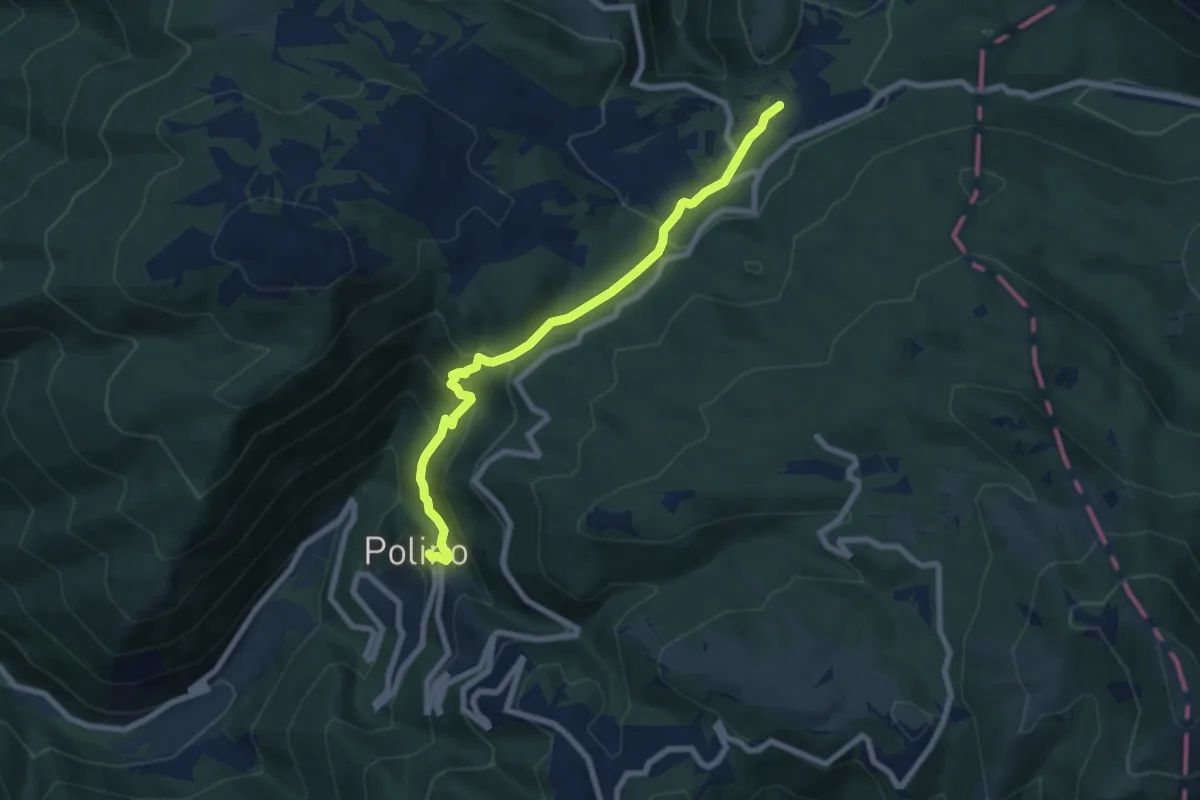
Medium · Trail
Polino – Salto del Cieco
7.8 km · ↑ 406 m · 2 h 43 min
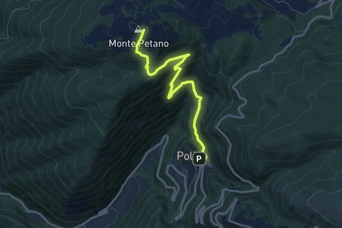
Medium · Summit
Polino – Intersezione percorso 605
7.7 km · ↑ 559 m · 3 h 2 min
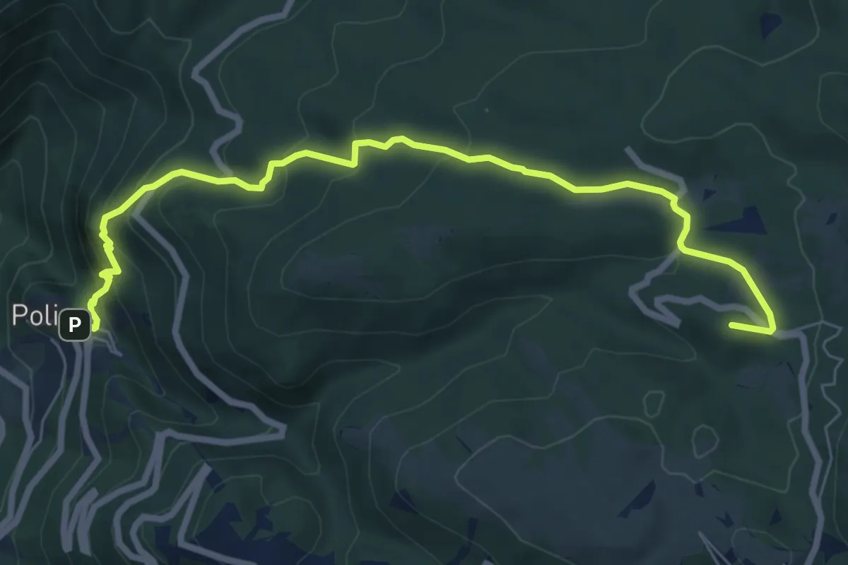
Medium · Summit
Polino – Colle Bertone
8.0 km · ↑ 447 m · 2 h 52 min
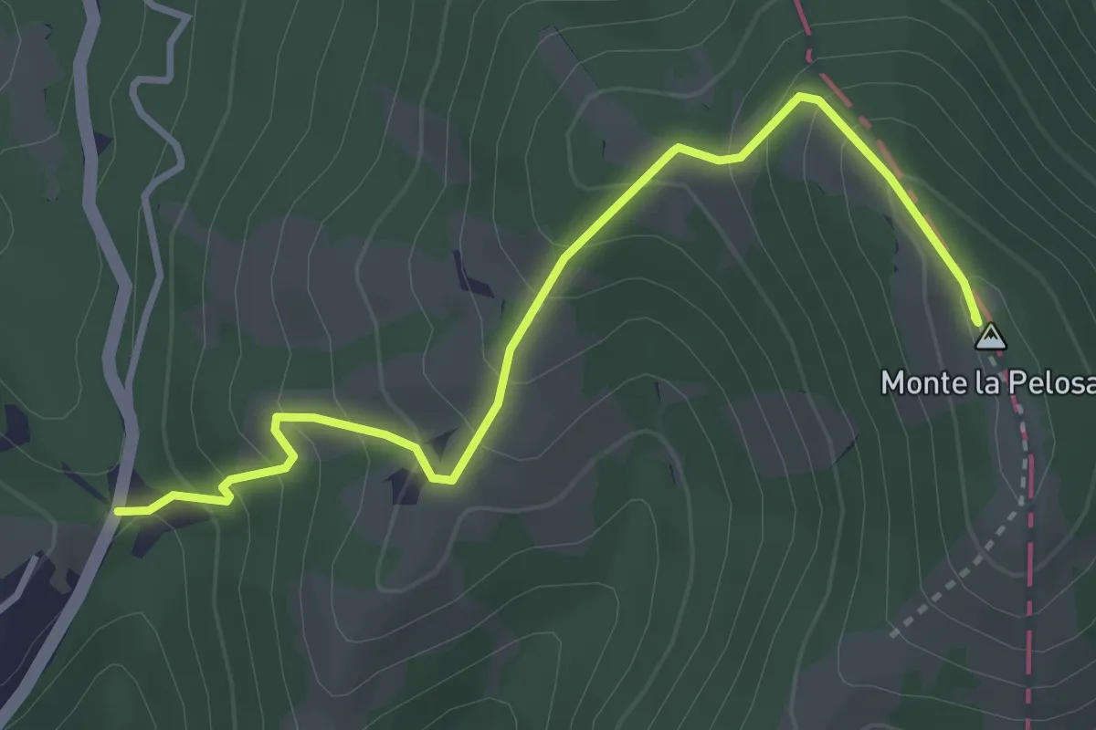
Medium · Summit
Colle Fergiara – Monte la Pelosa
3.8 km · ↑ 332 m · 1 h 37 min
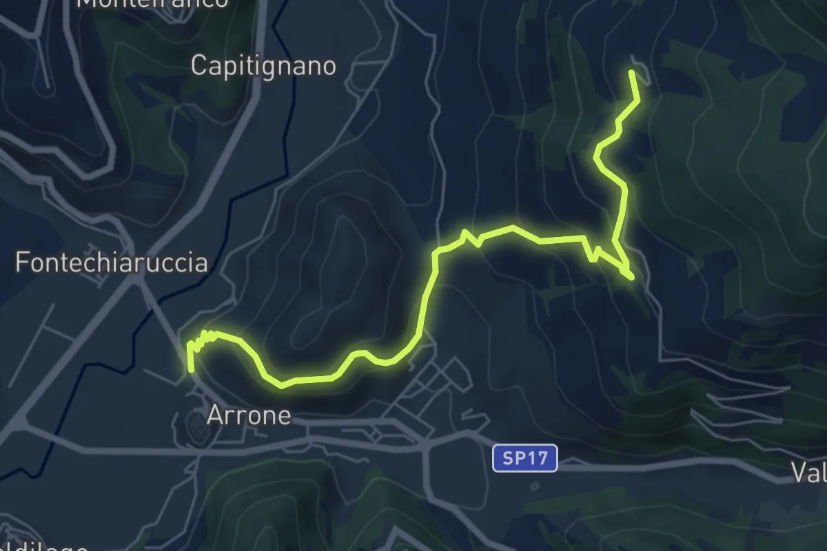
Medium · Trail
Arrone – Tripozzo
7.0 km · ↑ 512 m · 2 h 45 min
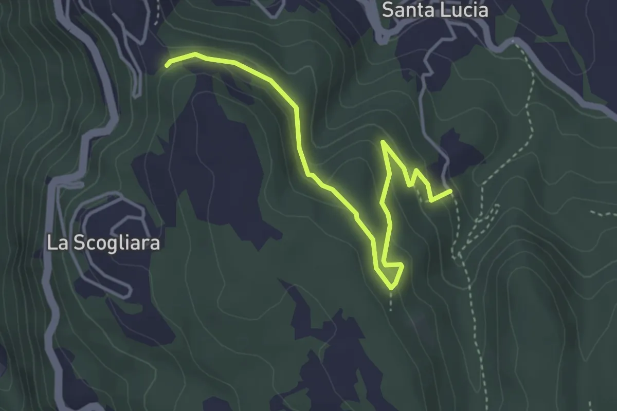
Easy · Trail
Intersezione percorso 654 – Intersezione percorso 640
4.3 km · ↑ 184 m · 1 h 25 min
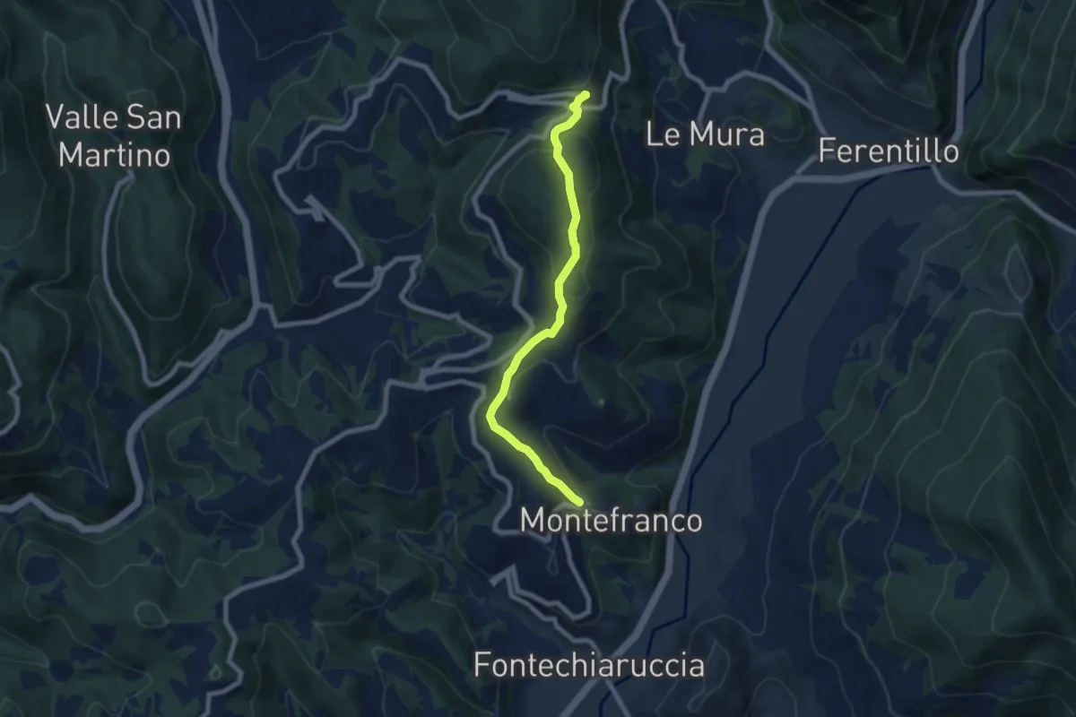
Medium · Trail
Montefranco – San Mamiliano
7.1 km · ↑ 354 m · 2 h 27 min
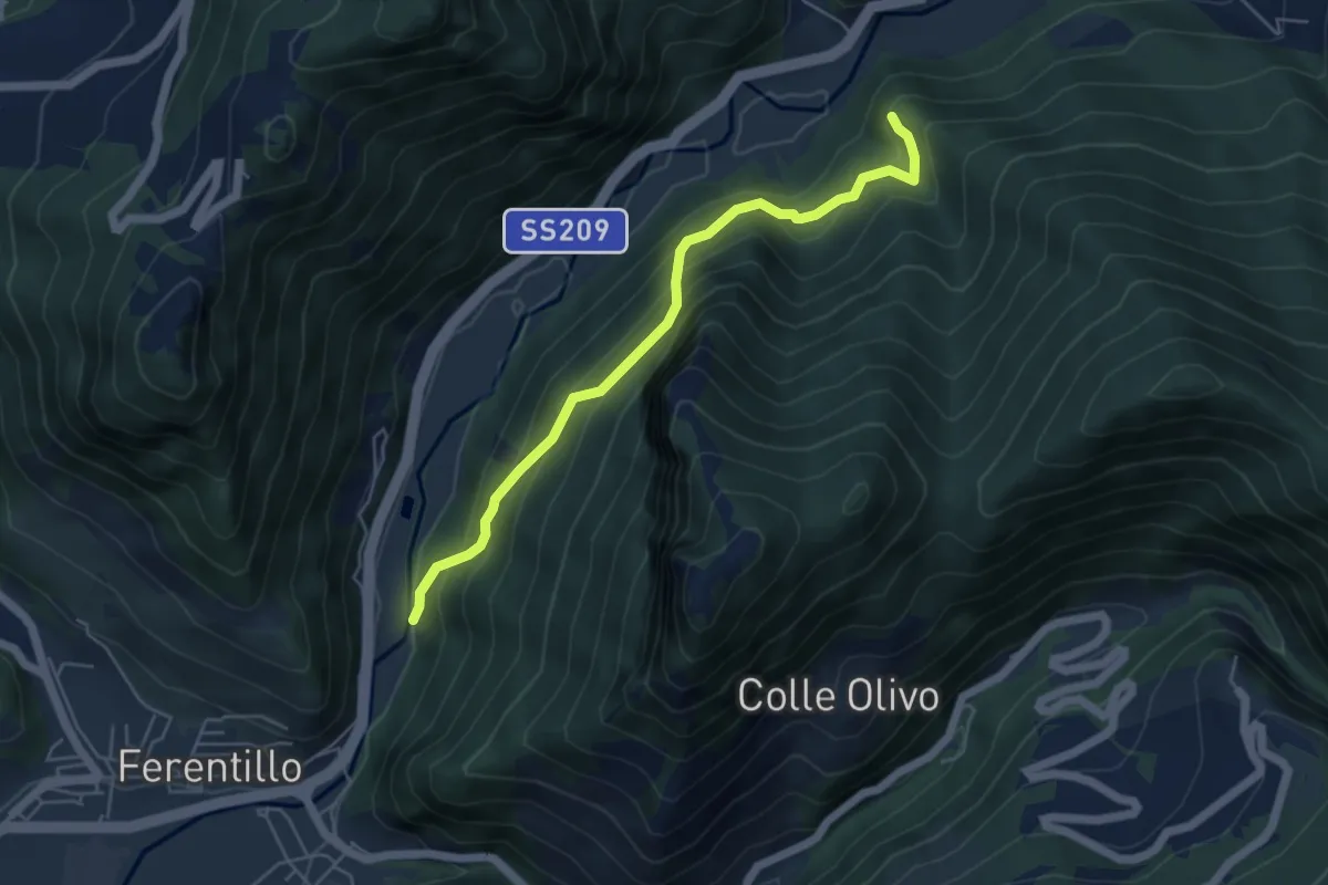
Medium · Trail
Umbriano – Intersezione Via di Francesco
5.3 km · ↑ 484 m · 2 h 18 min
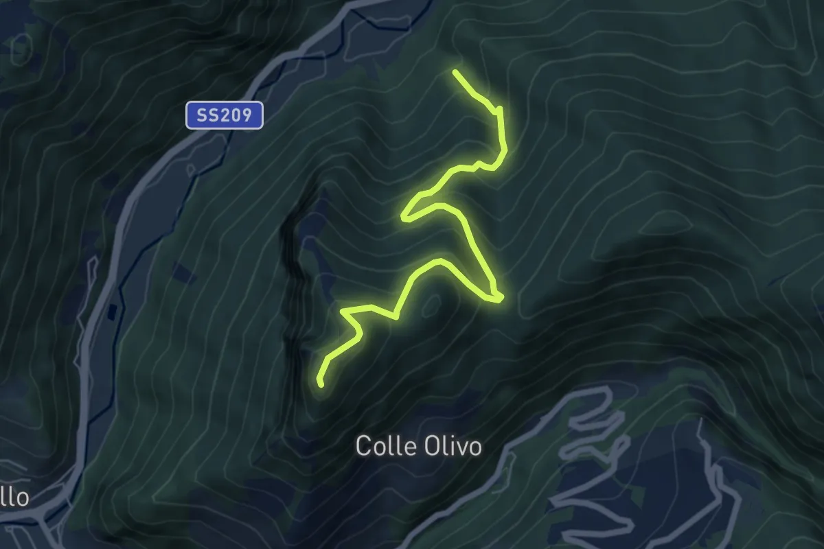
Medium · Trail
Intersezione percorso 610A – Monte Sant'Angelo
6.3 km · ↑ 618 m · 2 h 50 min
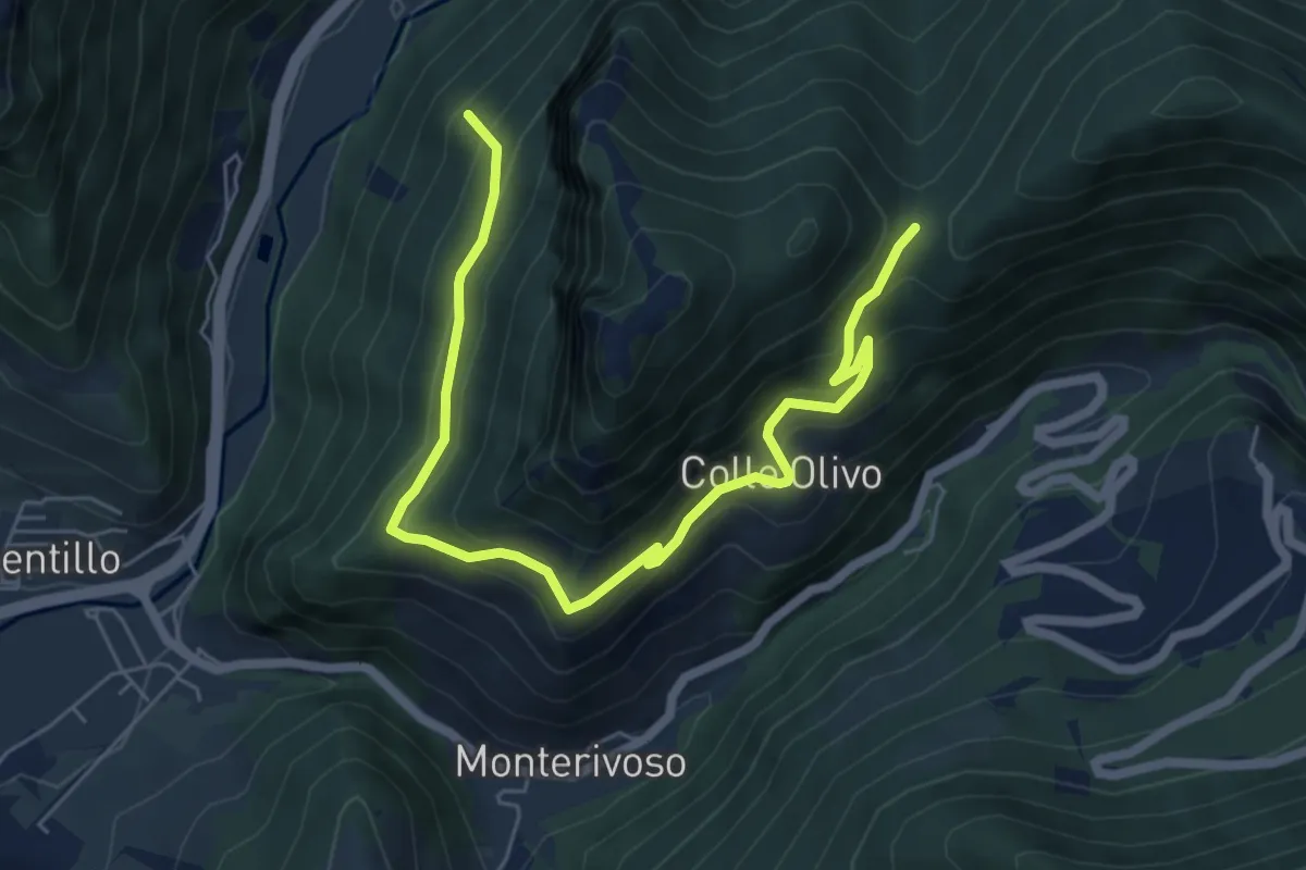
Medium · Trail
Intersezione percorso 610A – Forca di Colleolivo
7.6 km · ↑ 493 m · 2 h 52 min
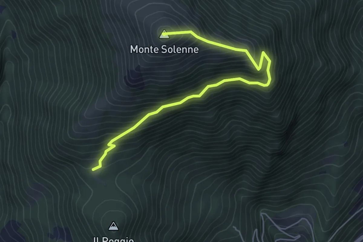
Medium · Summit
Intersezione percorso 608 – Monte Solenne
5.6 km · ↑ 556 m · 2 h 32 min
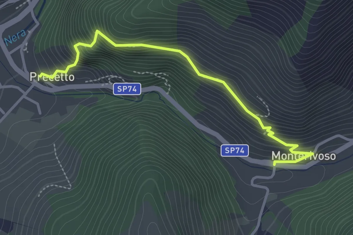
Medium · Trail
Precetto – Monterivoso
3.2 km · ↑ 335 m · 1 h 29 min
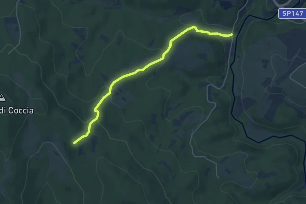
Easy · Summit
Bivio 139-139E – Bivio 105-139
4.7 km · ↑ 193 m · 1 h 32 min
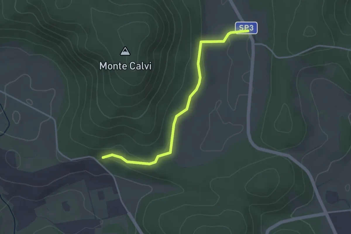
Easy · Trail
132A – SP12d
3.5 km · ↑ 58 m · 57 min
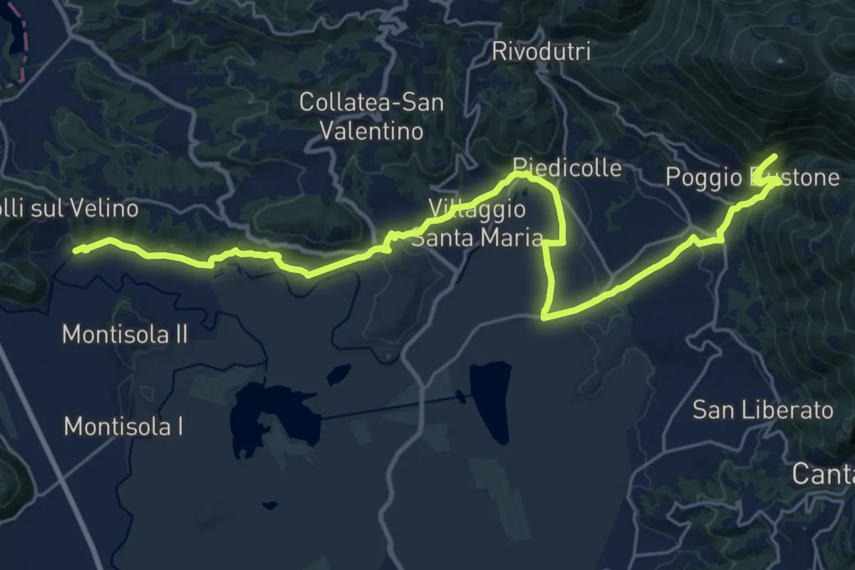
Demanding · Trail
Poggio Bustone – Torre di Morro Vecchio (Colli sul Velino)
27.8 km · ↑ 649 m · 7 h 58 min
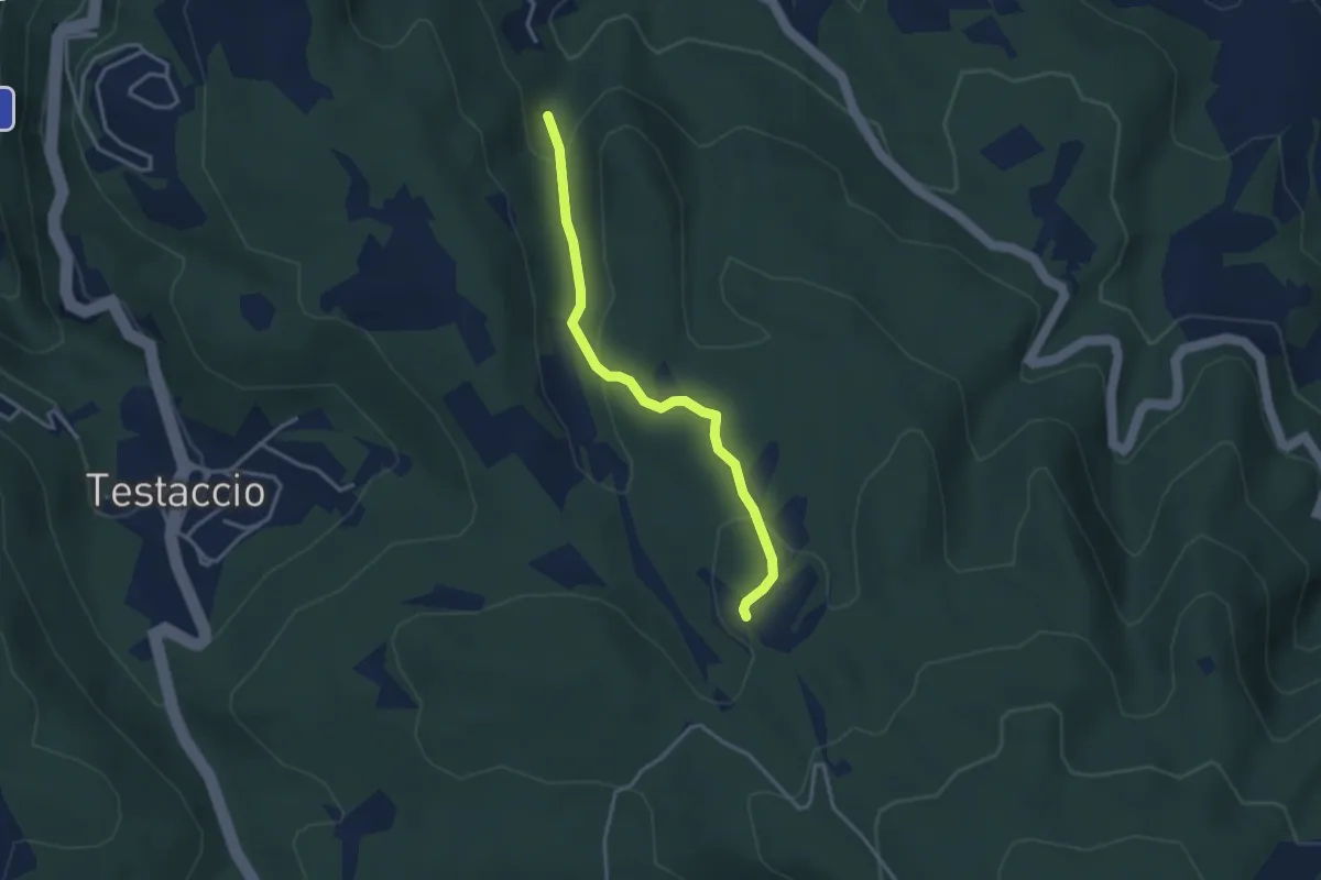
Easy · Trail
Intersezione percorso 654 – Intersezione percorso 640
3.4 km · ↑ 130 m · 1 h 6 min
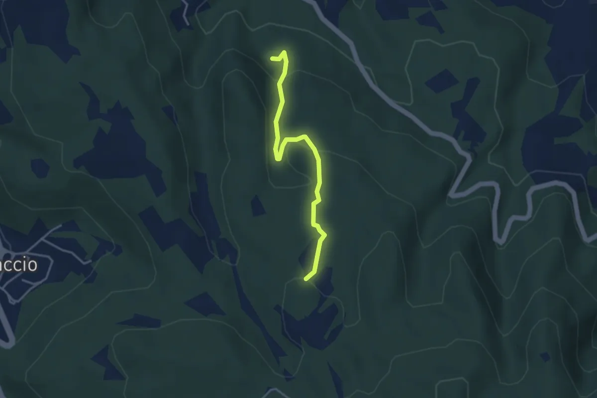
Easy · Trail
Intersezione percorso 654 – Intersezione percorso 654B
3.3 km · ↑ 118 m · 1 h 3 min
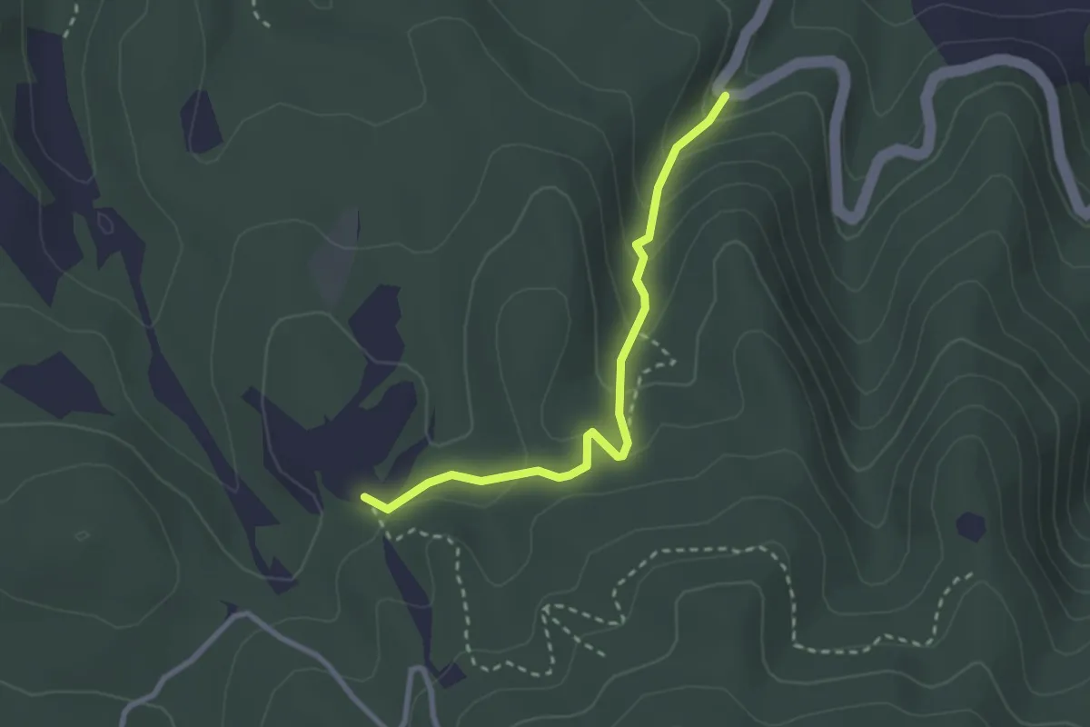
Easy · Trail
Intersezione percorso 654 – Intersezione percorso 640
2.7 km · ↑ 162 m · 1 h
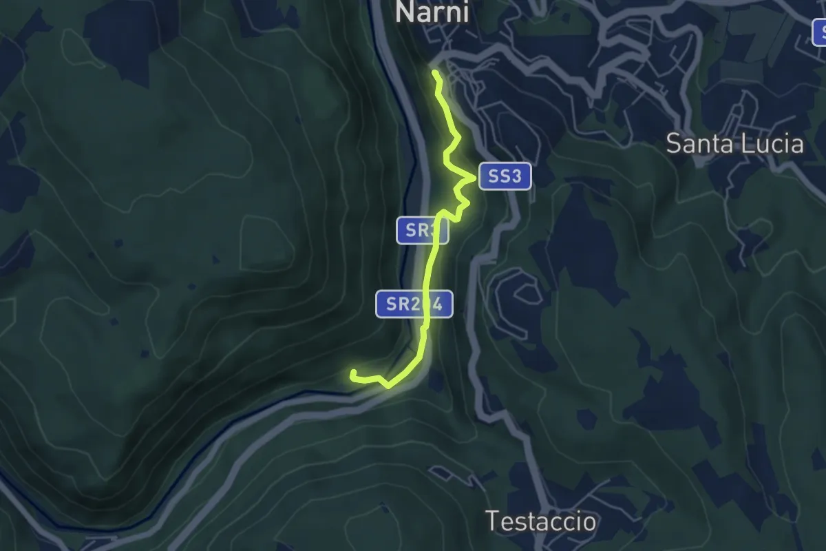
Easy · Trail
Narni – Intersezione percorso 659
4.3 km · ↑ 262 m · 1 h 35 min
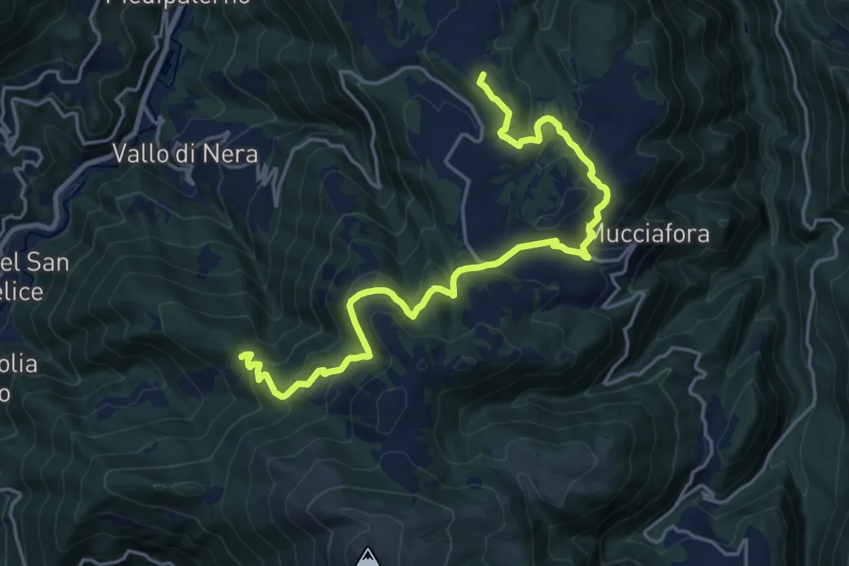
Demanding · Summit
Forchetta di Vallo – Ponte
18.4 km · ↑ 674 m · 5 h 49 min
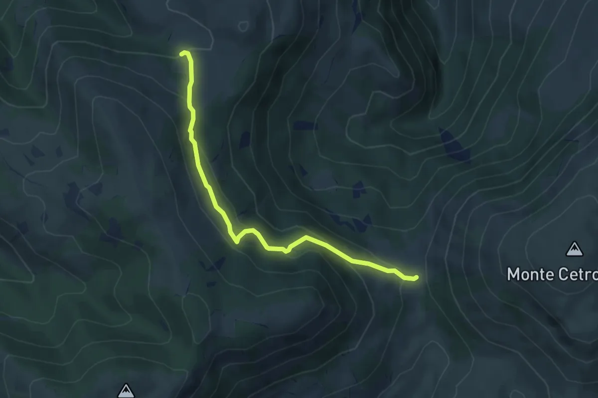
Easy · Trail
La Forca – Fonte Mara
4.8 km · ↑ 257 m · 1 h 41 min
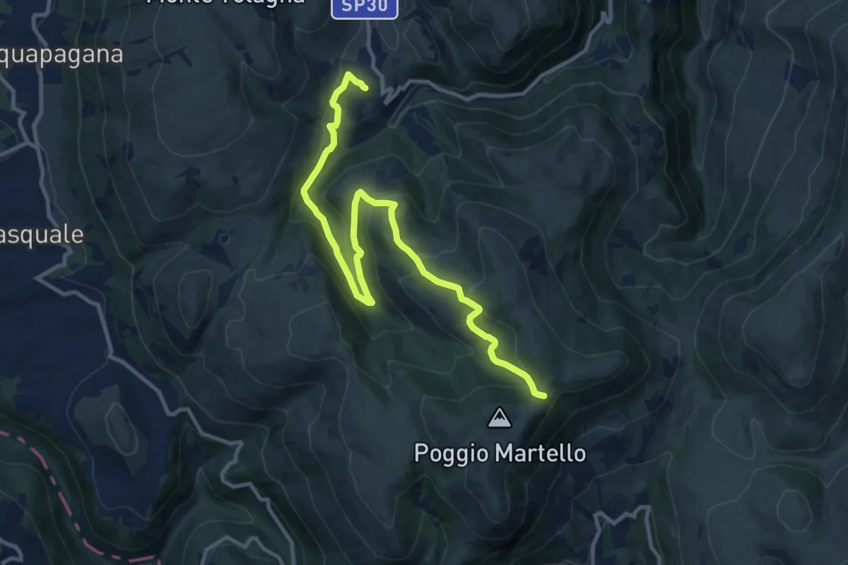
Medium · Trail
Collattoni – Piani Lacci
13.0 km · ↑ 588 m · 4 h 20 min
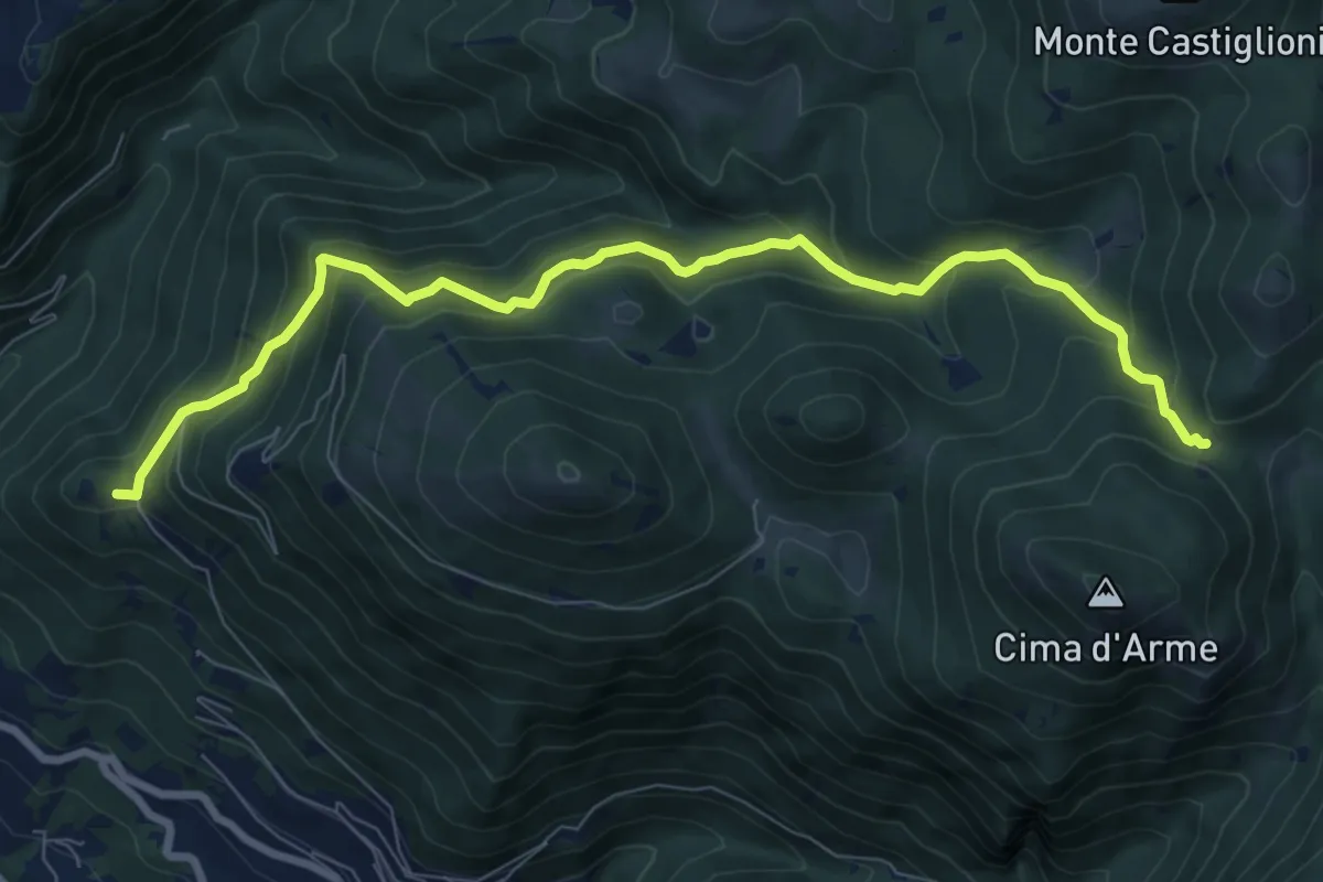
Medium · Summit
Scogli di Bobbo – Incr. sent.420 x Cima d'Arme
9.6 km · ↑ 768 m · 3 h 55 min
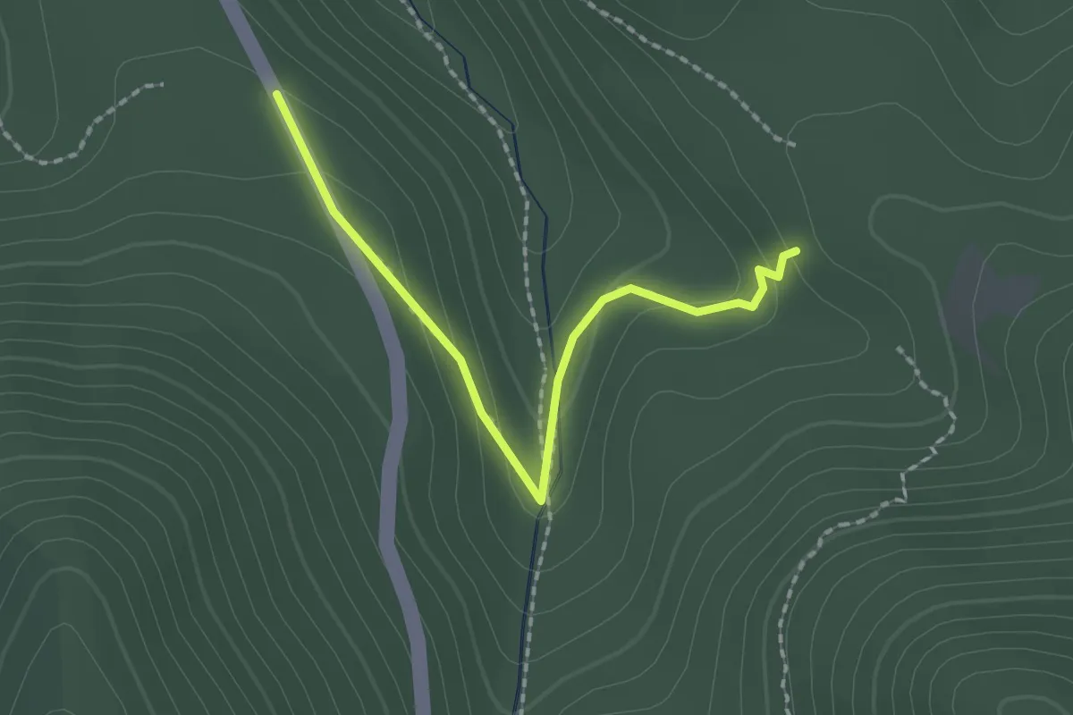
Easy · Trail
percorso 123 – Strada Piangoli
2.1 km · ↑ 99 m · 42 min
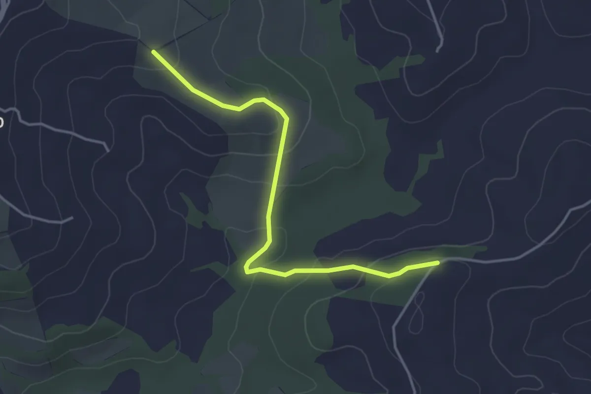
Easy · Trail
Intersezione percorso 650 – Intersezione percorso 740
4.2 km · ↑ 145 m · 1 h 19 min
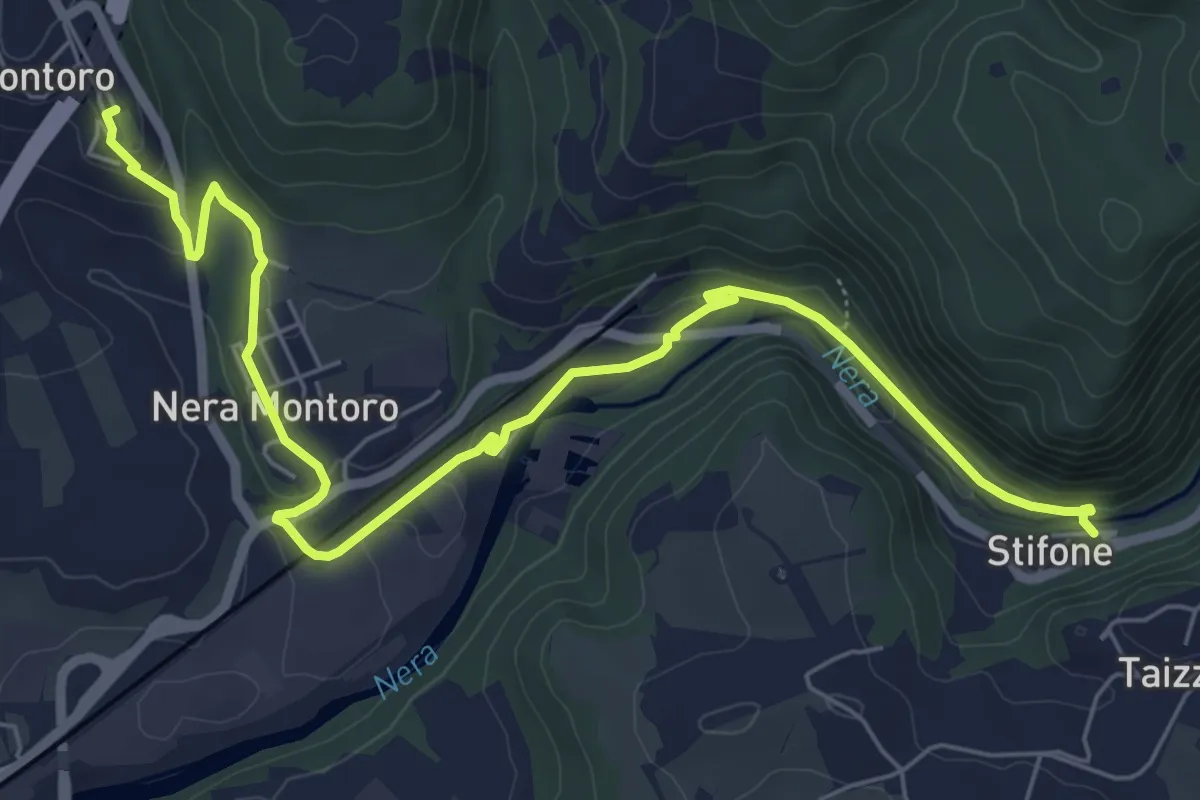
Medium · Trail
Montoro – Stifone
8.4 km · ↑ 179 m · 2 h 22 min
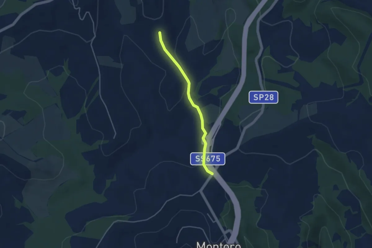
Easy · Trail
Intersezione percorso 652 – Intersezione percorso 740
3.3 km · ↑ 89 m · 58 min