Trails in Italy
25,219 hiking trails, each with its route, climb, walking time and grade.
All trails, page 302 of 526
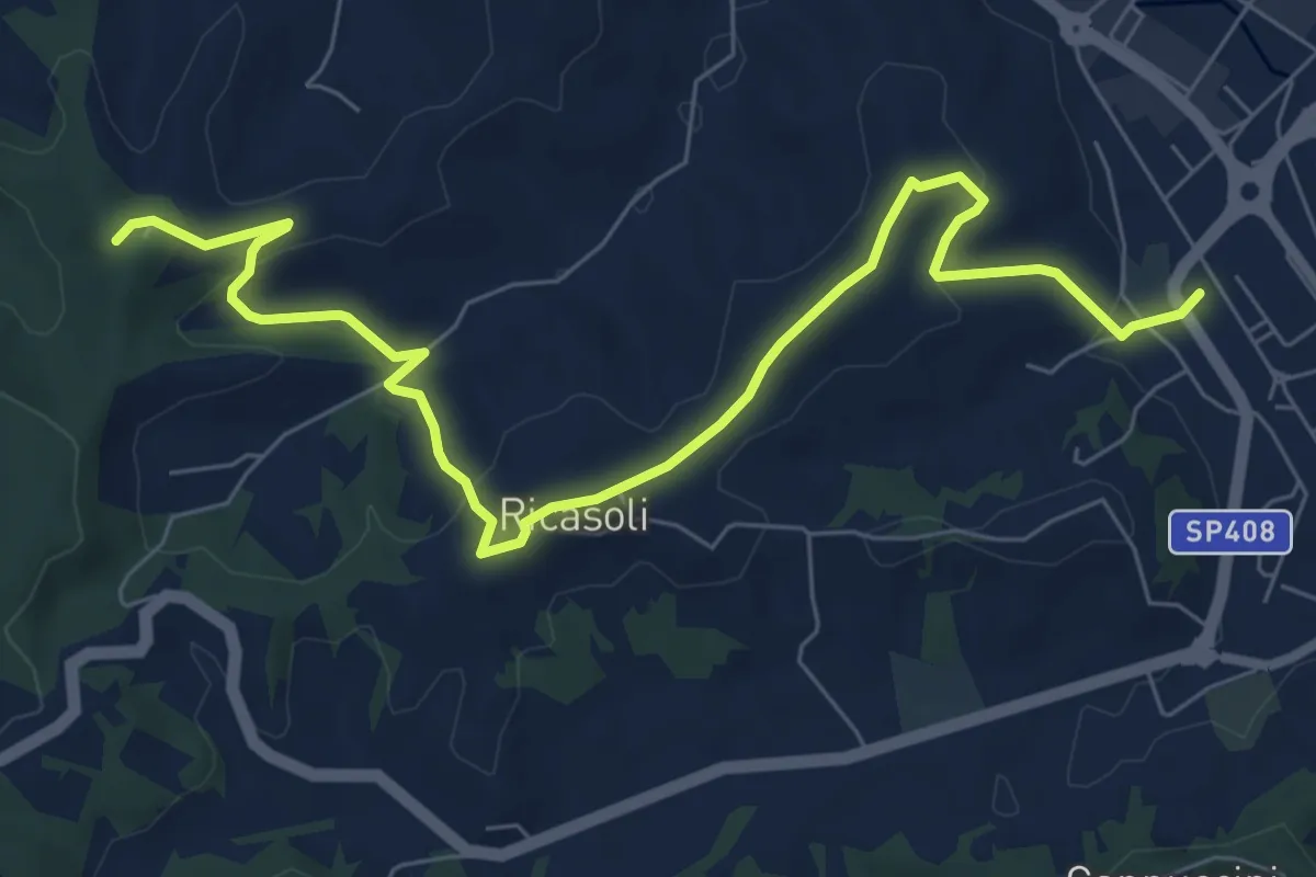
Medium · Trail
Montevarchi – Bivio sentiero 33, Casa Passelli
9.2 km · ↑ 242 m · 2 h 41 min
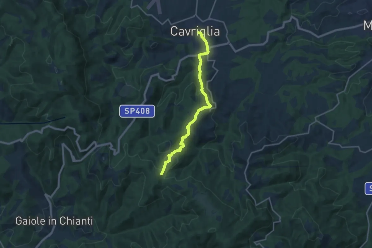
Medium · Trail
Cavriglia – sent.00 Sereto
12.2 km · ↑ 500 m · 3 h 58 min
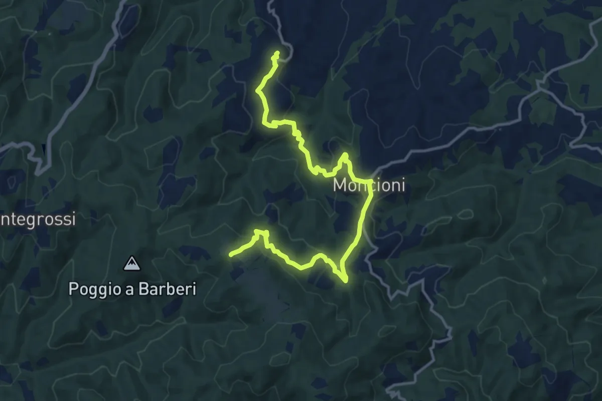
Medium · Trail
Montegonzi – sent. 00
14.4 km · ↑ 640 m · 4 h 47 min
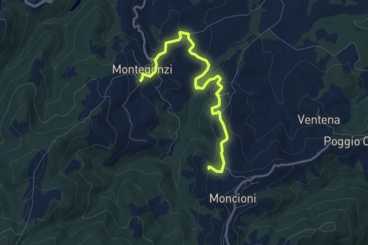
Medium · Trail
Montegonzi sent. 37 – Starnano
8.3 km · ↑ 321 m · 2 h 39 min
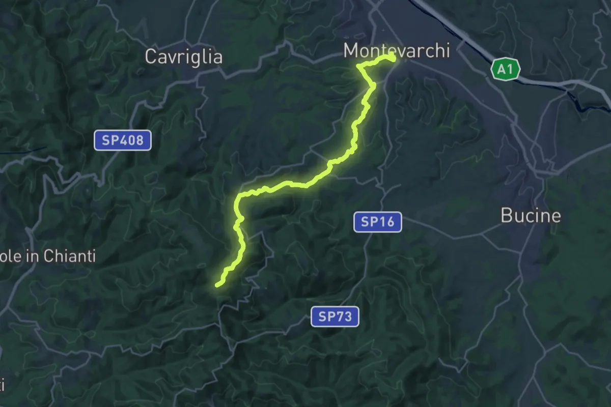
Demanding · Trail
Montevarchi – sent. 400 Aquila
24.4 km · ↑ 827 m · 7 h 34 min
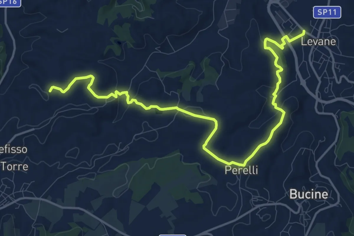
Medium · Trail
Levane sent. 41 – La Villa
14.8 km · ↑ 360 m · 4 h 17 min
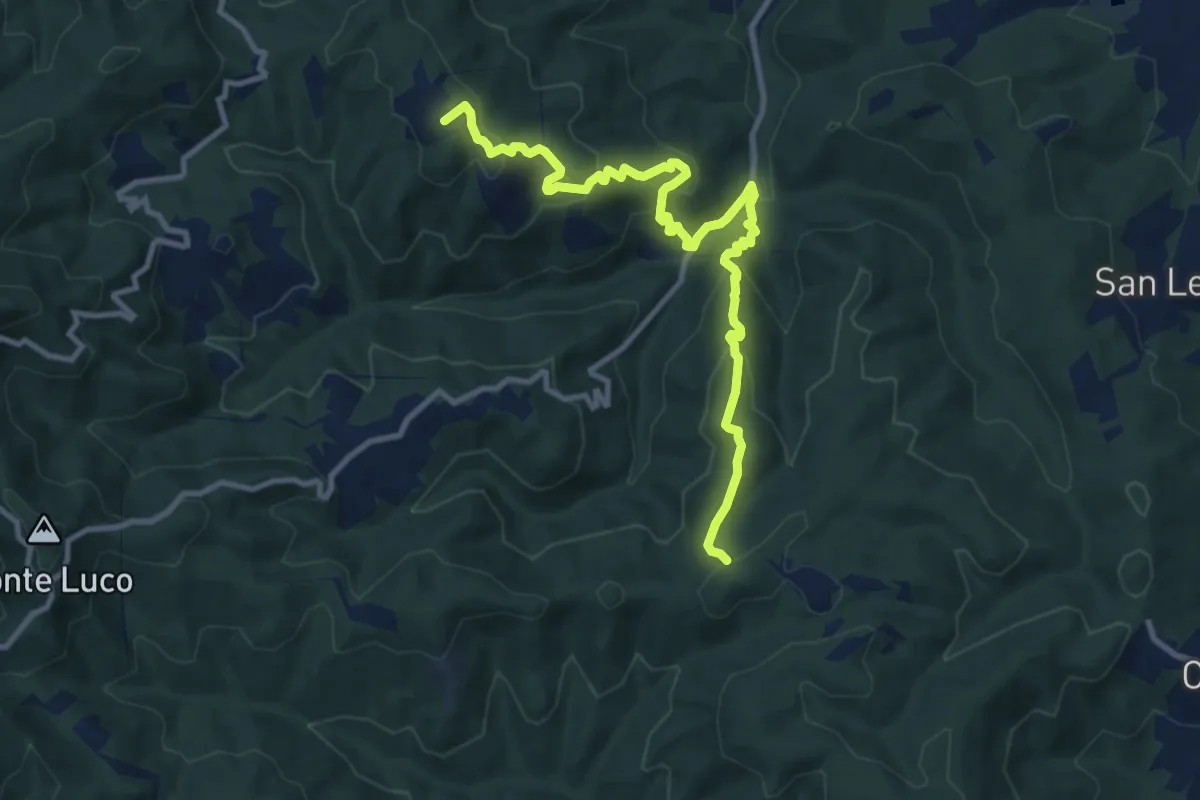
Medium · Summit
sent. 45 Poggio Civitella – sent. 00 Aquila
11.9 km · ↑ 669 m · 4 h 15 min
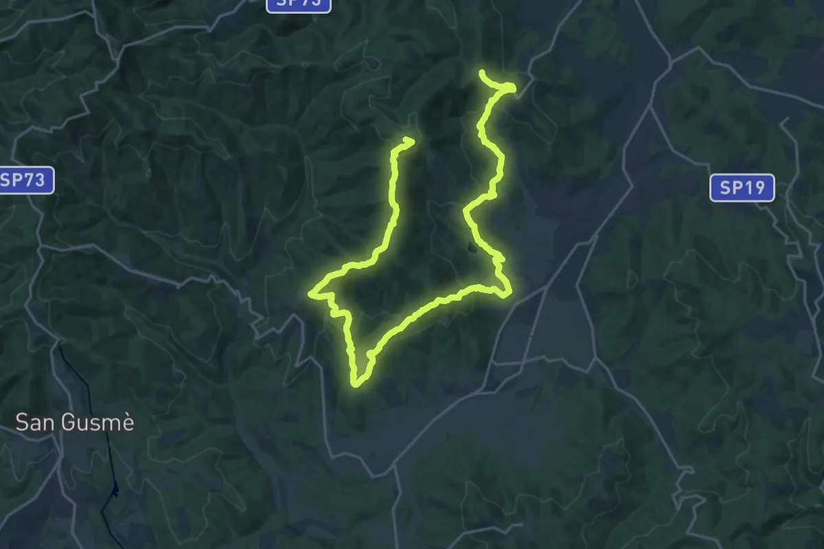
Demanding · Summit
sent. 45 P. Marianna – sent. 45 Monte di Rota
30.5 km · ↑ 1210 m · 9 h 50 min
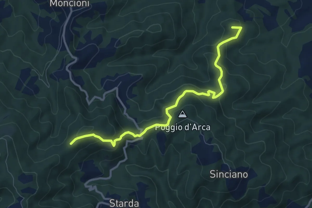
Medium · Summit
Montevarchi – sentiero 39
8.7 km · ↑ 397 m · 2 h 54 min
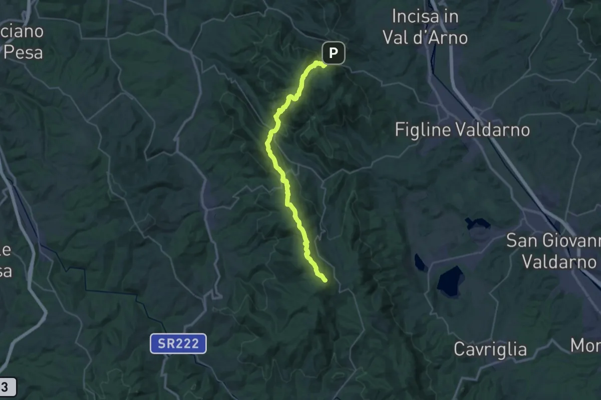
Demanding · Summit
Poggio alla Croce – Badiaccia a Montemuro
30.7 km · ↑ 1259 m · 9 h 58 min
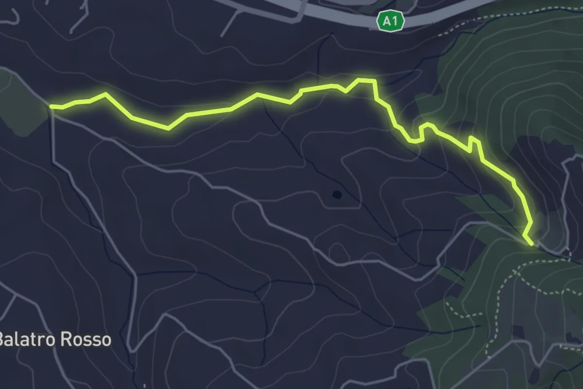
Easy · Trail
Antella – Montisoni
5.3 km · ↑ 184 m · 1 h 39 min
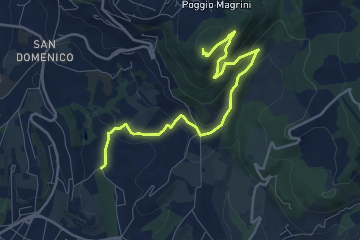
Medium · Summit
Salviatino – Monte Ceceri
8.2 km · ↑ 388 m · 2 h 46 min
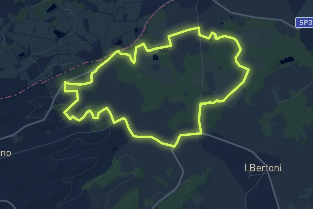
Medium · Trail
Ferretto – Ferretto
10.7 km · ↑ 81 m · 2 h 51 min
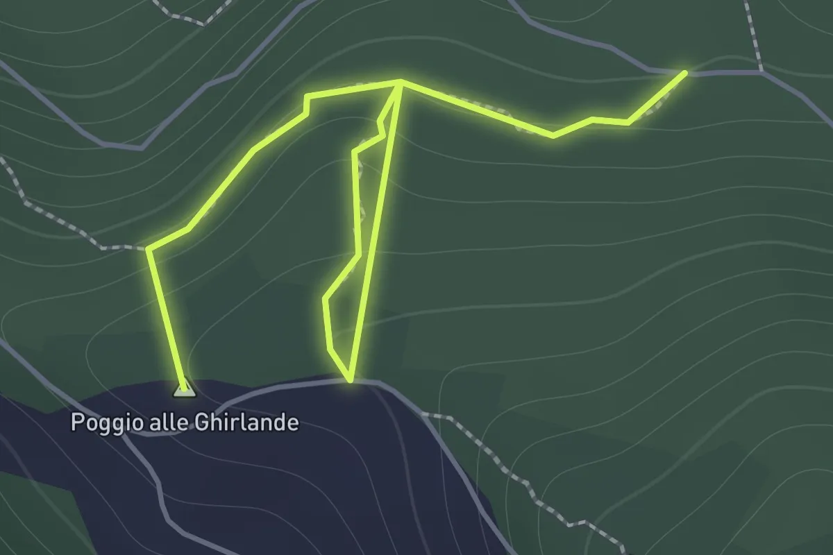
Easy · Summit
Sentieri 911, 912 – Sentiero 913
2.2 km · ↑ 152 m · 51 min
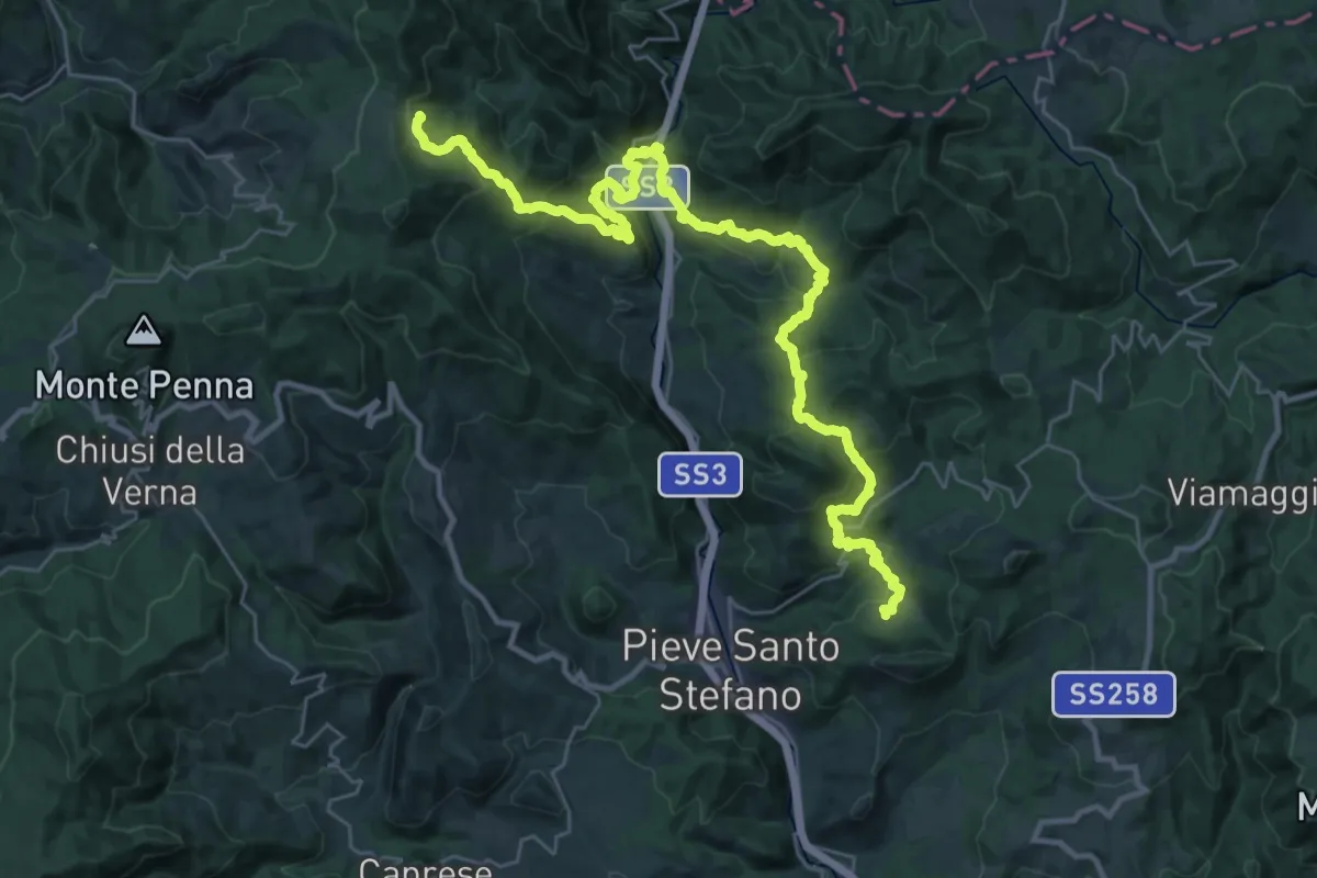
Demanding · Trail
Innesto Sentiero 2 a Strazzano – innesto Sentiero 59 a Gualanciole
19.3 km · ↑ 760 m · 6 h 38 min
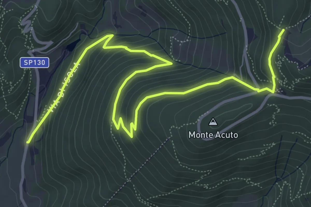
Medium · Trail
Le Mulina – Sella degli Scollini
10.0 km · ↑ 503 m · 3 h 27 min
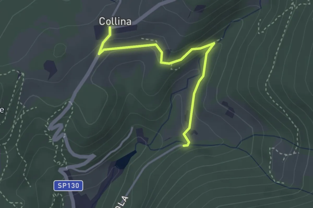
Easy · Trail
Via di Isola – Collina
3.1 km · ↑ 92 m · 56 min
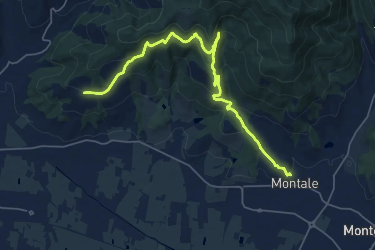
Medium · Trail
Montale Alto – San Quirico
16.4 km · ↑ 662 m · 5 h 18 min
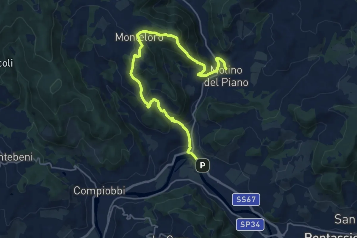
Medium · Trail
Sieci – Molin del Piano
17.1 km · ↑ 762 m · 5 h 41 min
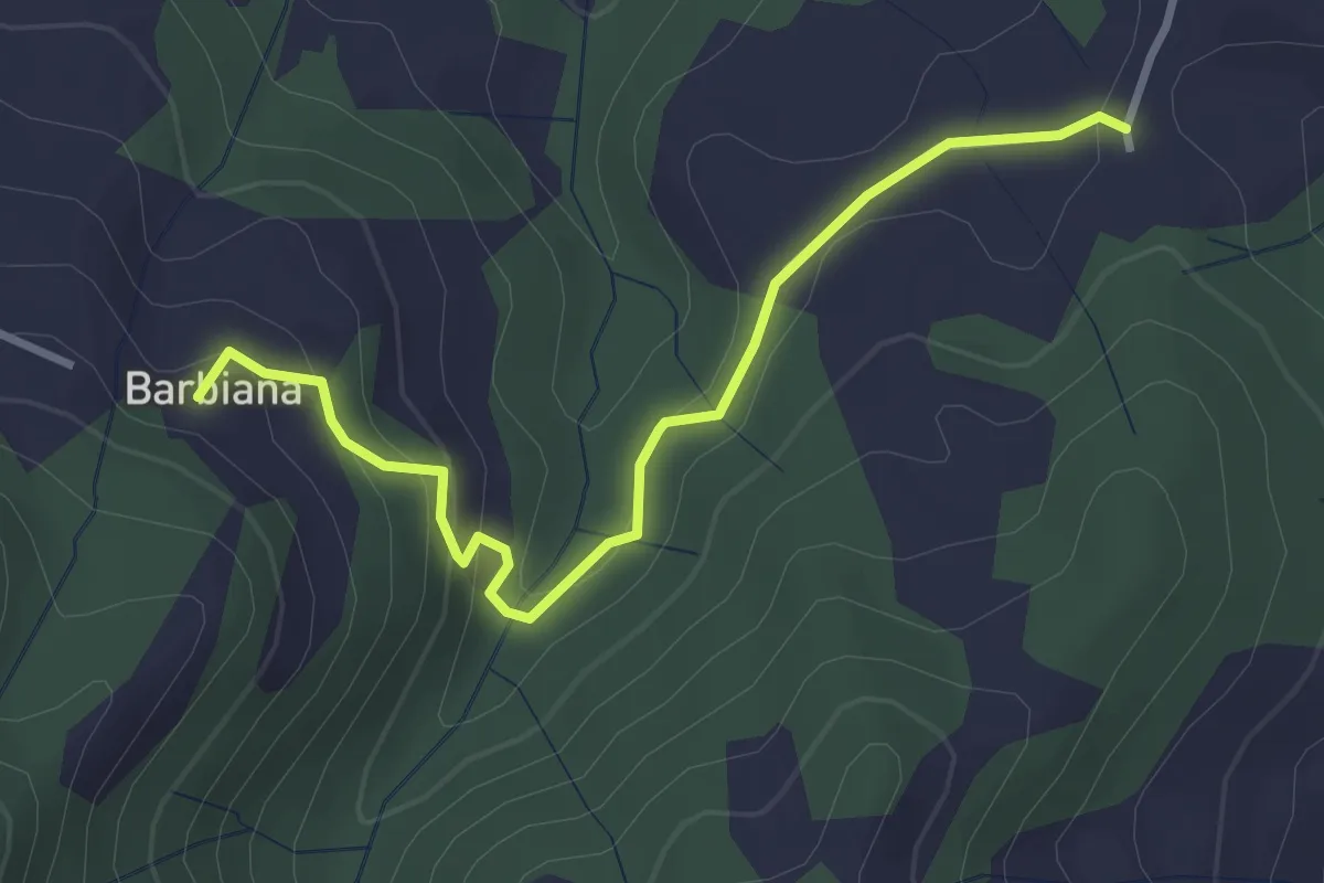
Easy · Trail
Variante itinerario 311 – Barbiana
3.4 km · ↑ 170 m · 1 h 10 min
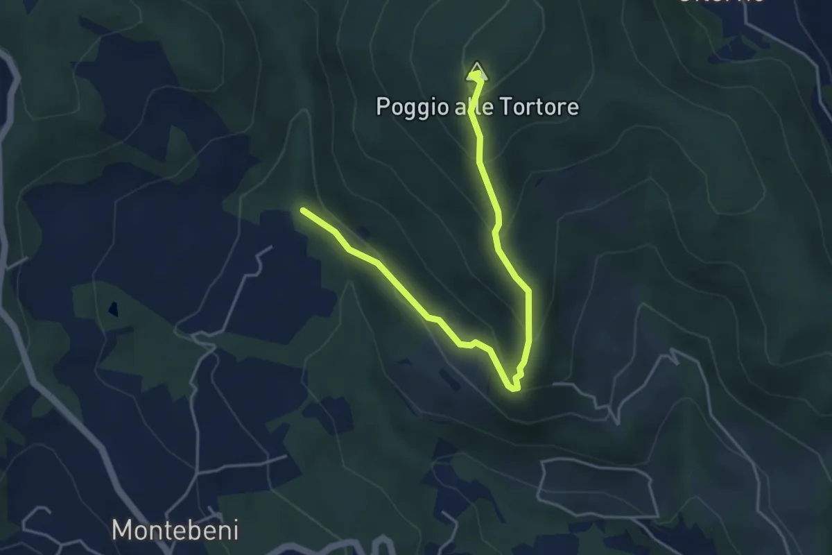
Demanding · Summit
Incrocio Sentiero 708 – Incrocio Sentiero 703
4.6 km · ↑ 273 m · 1 h 41 min
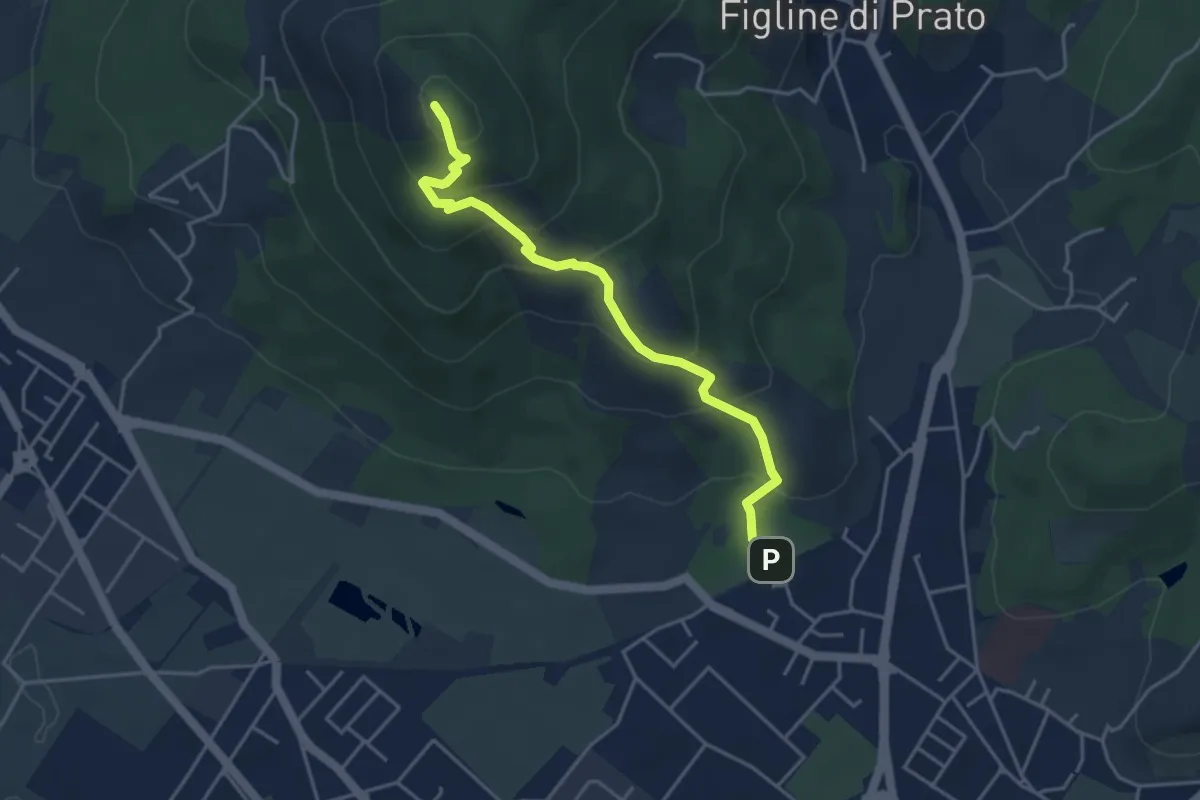
Medium · Summit
Galceti – Passo della Collina
4.4 km · ↑ 339 m · 1 h 47 min
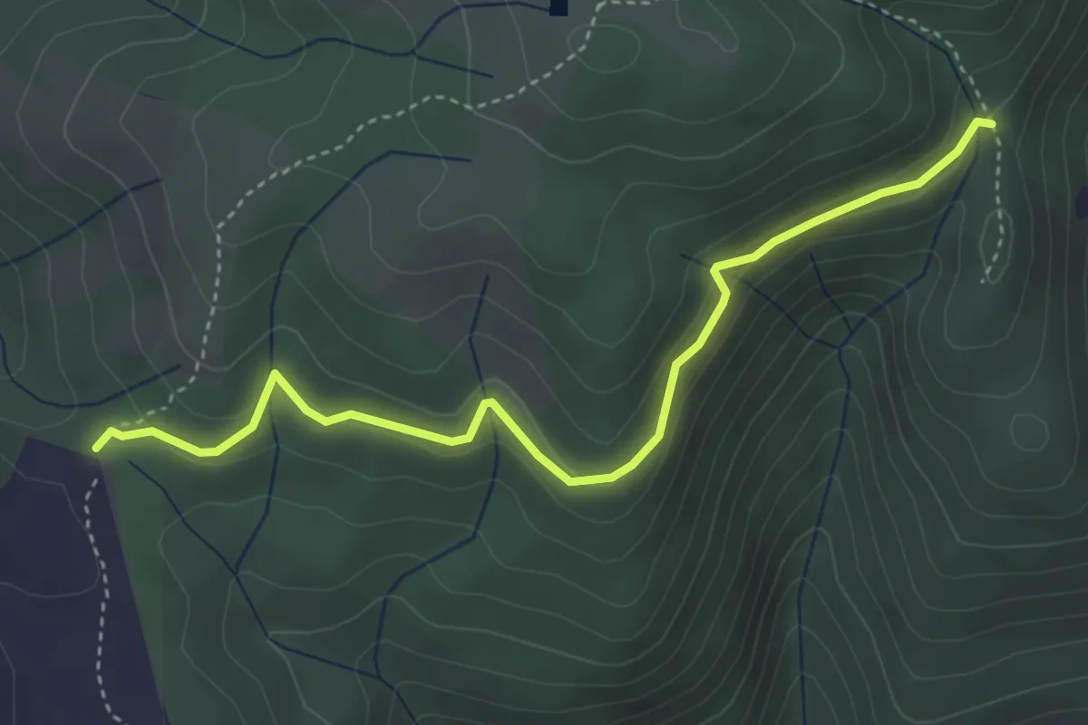
Easy · Cabin
Rimaggio di Monte Maggiore – Foce ai Cerri Nord
4.4 km · ↑ 182 m · 1 h 25 min
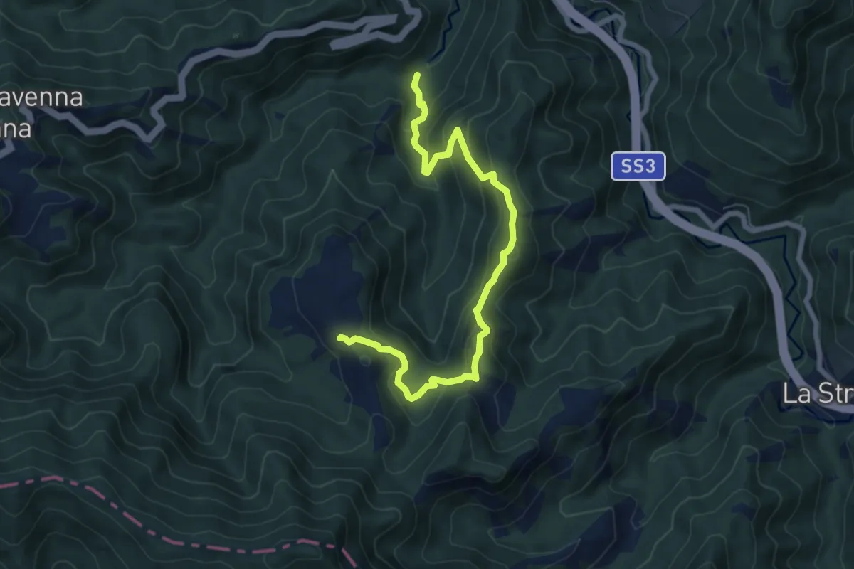
Medium · Trail
Maestà Balassini percorso 177 – Percorso 177 Mulattiera del Granduca
3.6 km · ↑ 393 m · 1 h 36 min
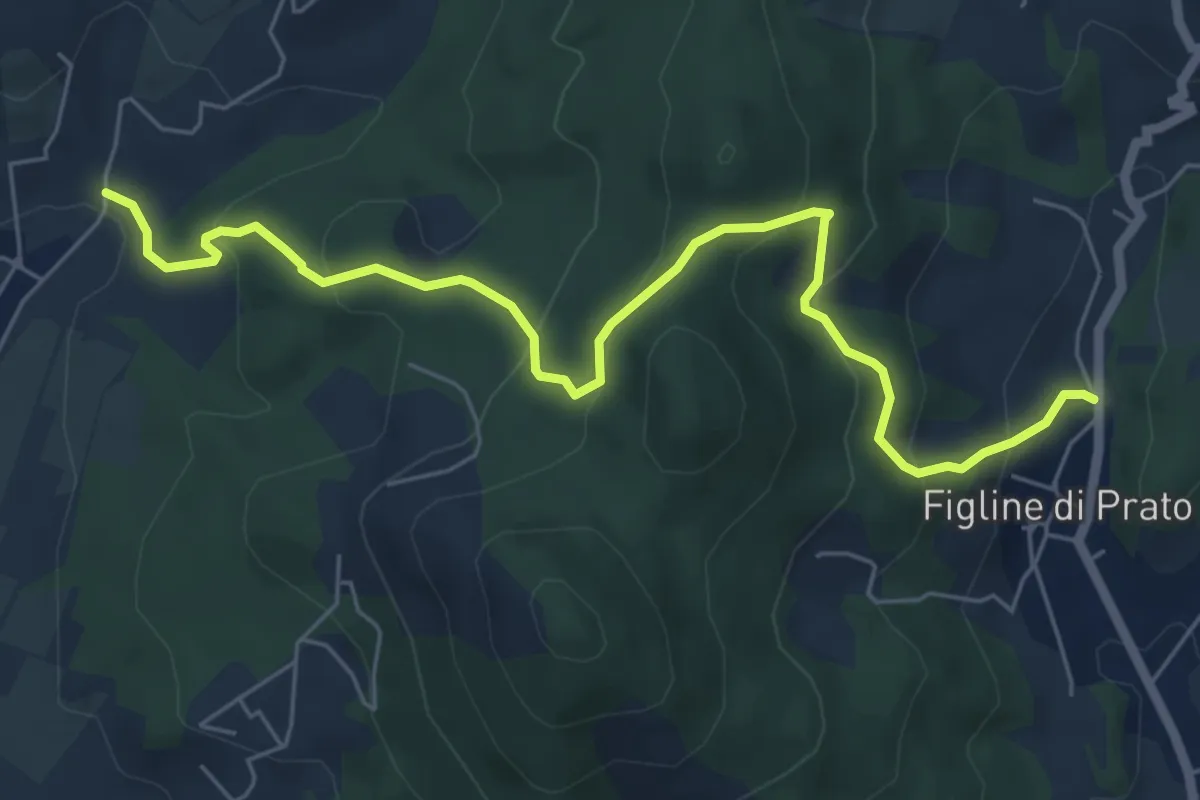
Medium · Trail
Bagnolo di Sopra – Figline Pian di Gello
7.2 km · ↑ 437 m · 2 h 38 min
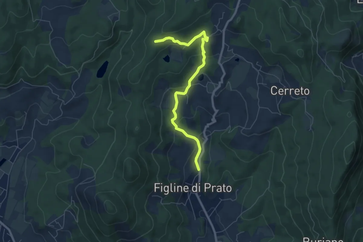
Easy · Trail
Figline (Pian di Gello) – Monte Lopi Fontanaccio
6.6 km · ↑ 295 m · 2 h 13 min
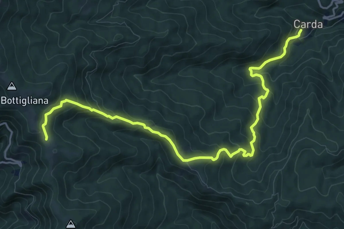
Medium · Trail
Carda – Innesto Sentiero 900 presso loc. La Pescina
14.0 km · ↑ 744 m · 4 h 55 min
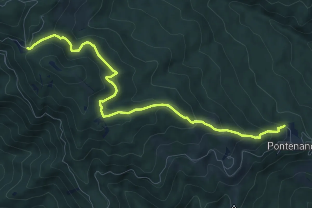
Medium · Trail
Pontenano – Sentiero 900 presso Abetina dei Bardi
9.6 km · ↑ 539 m · 3 h 26 min
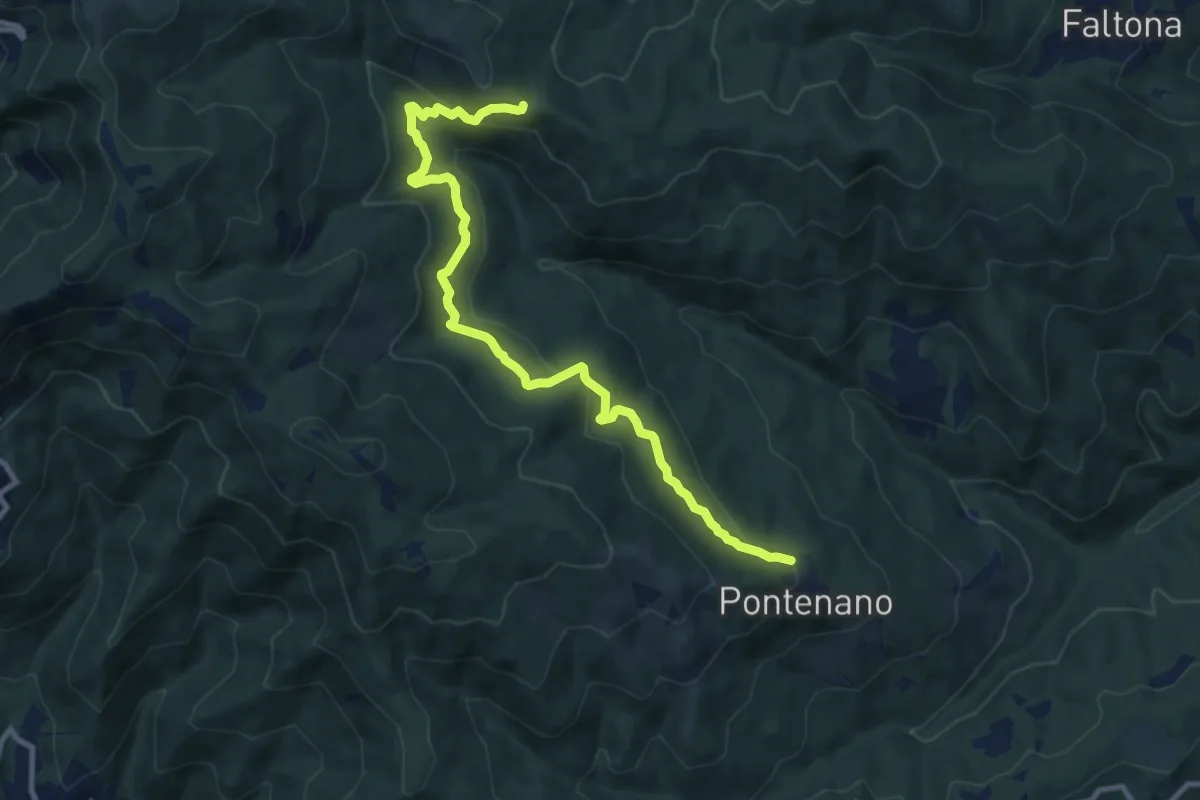
Medium · Trail
Pontenano – Badia di Santa Trinita - Innesto Sentiero 940 presso Passo della Forca
11.2 km · ↑ 471 m · 3 h 40 min
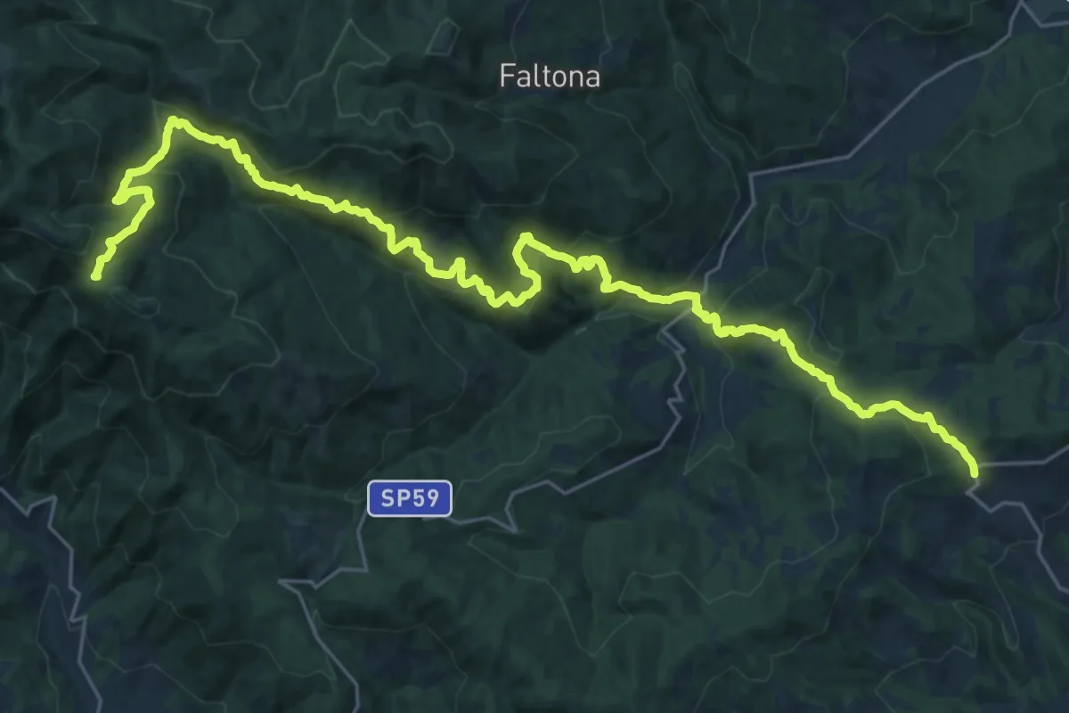
Medium · Trail
Innesto sentiero 900 presso Migliarino – innesto sentiero 900 presso Abetina dei Bardi
17.1 km · ↑ 611 m · 5 h 55 min
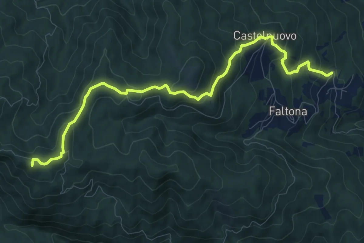
Medium · Summit
La Villa di Faltona – Innesto sentiero 938 a 0,5 km da Passo della Forca
11.3 km · ↑ 542 m · 3 h 50 min
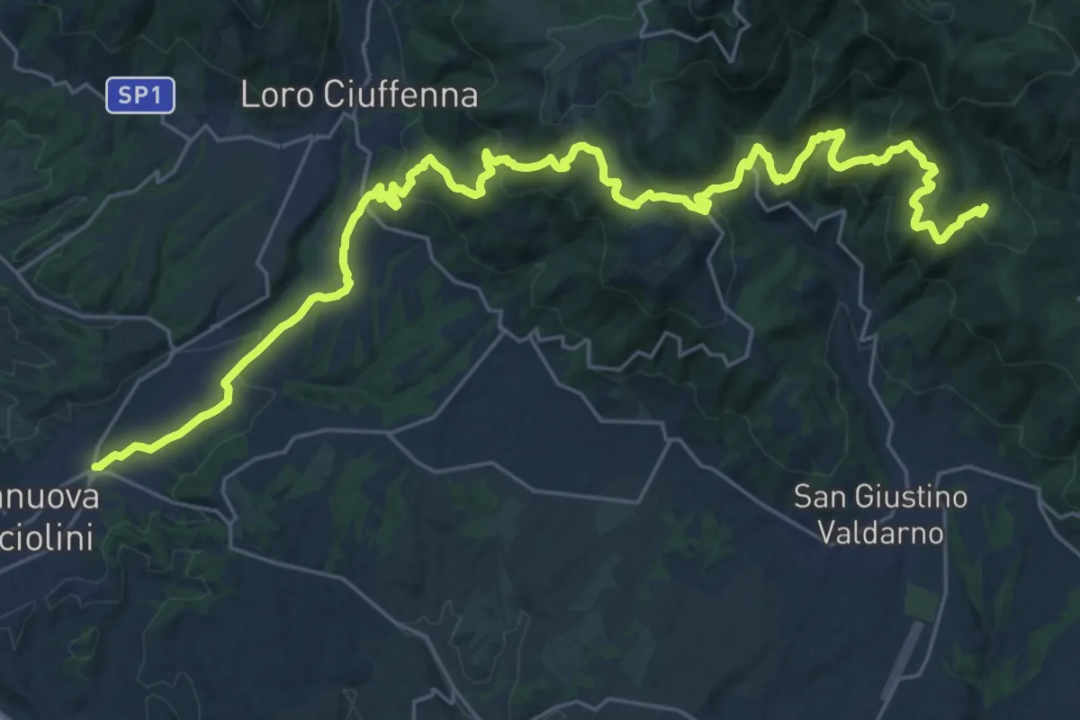
Demanding · Trail
Terranuova Bracciolini – Percorso 900 (Fonte Archese)
17.0 km · ↑ 1090 m · 6 h 17 min
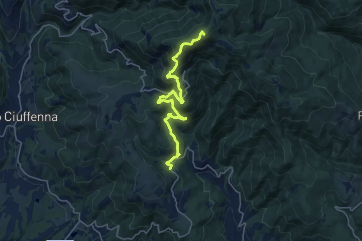
Demanding · Summit
sent. 39 Faeto – sent. 00 Monte di Loro
13.7 km · ↑ 882 m · 5 h 9 min
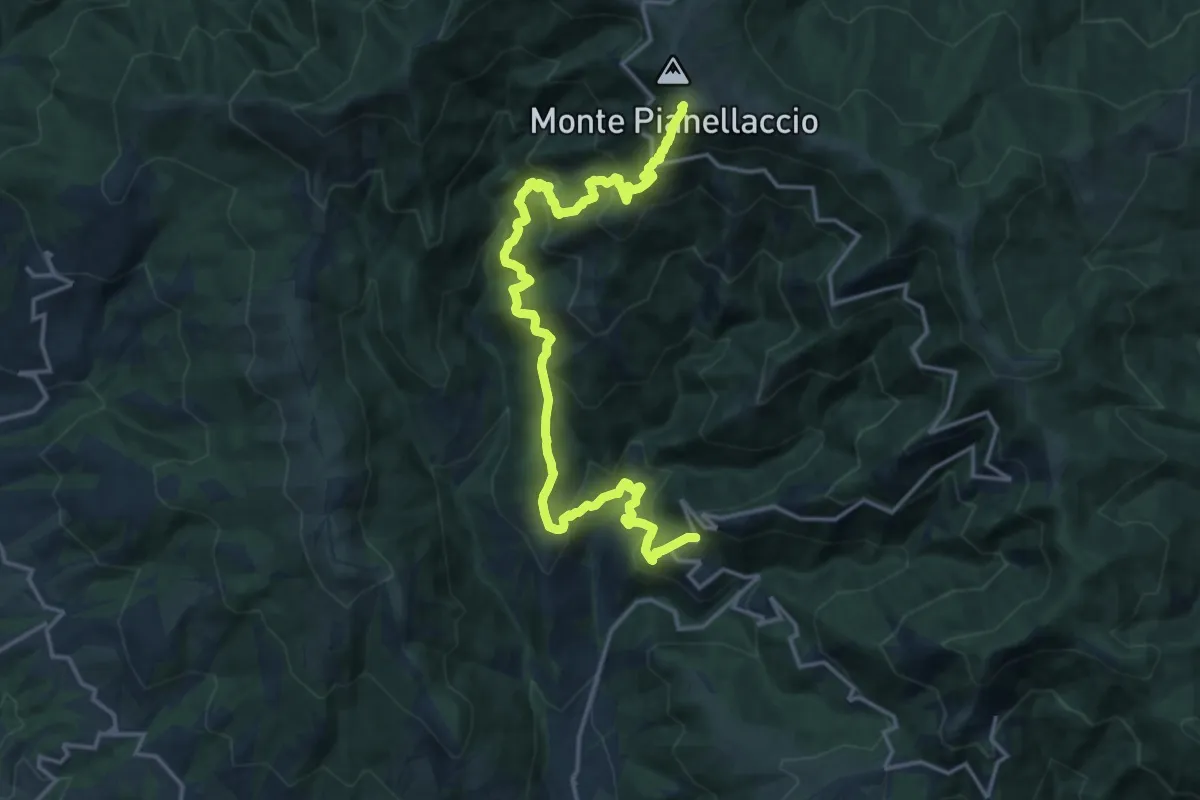
Demanding · Summit
Maestà di Bastiano – Croce di Pratomagno
20.1 km · ↑ 1670 m · 8 h 22 min
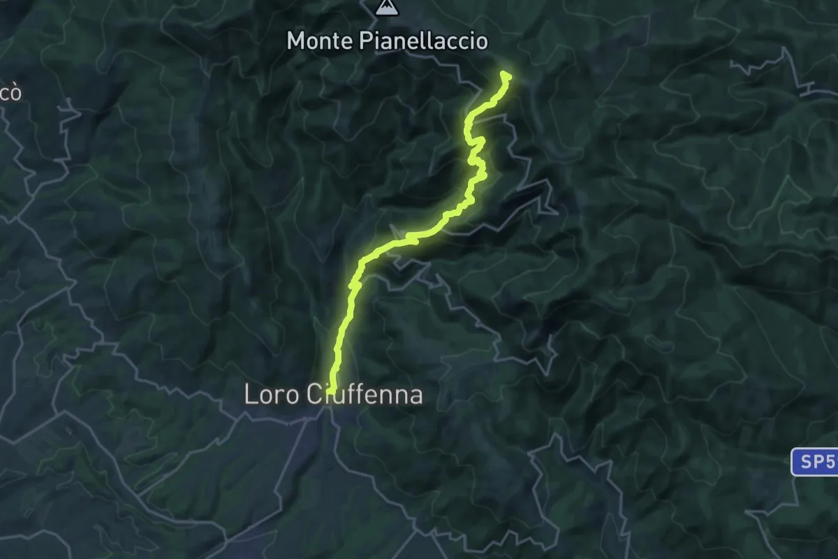
Demanding · Summit
Loro Ciuffenna – sent. 00 Pozza Nera
20.0 km · ↑ 1540 m · 8 h 4 min
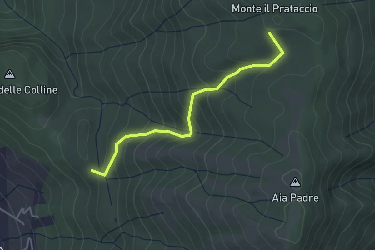
Easy · Summit
Pian dei Bianchi – Il Corso
3.4 km · ↑ 222 m · 1 h 17 min
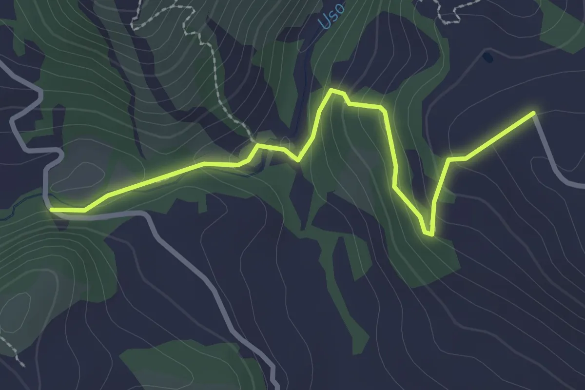
Easy · Trail
Percorso 111C le Celle – Percorso 015
2.7 km · ↑ 124 m · 55 min
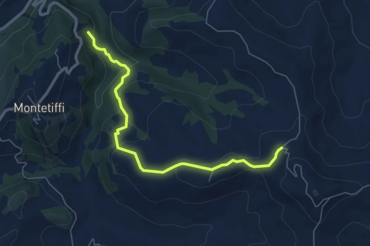
Easy · Trail
111B – Percorso 115 (Il Pozzo)
5.7 km · ↑ 232 m · 1 h 51 min
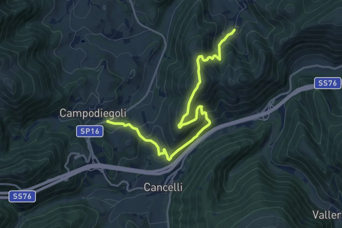
Medium · Summit
Varano – Campodiegoli
5.5 km · ↑ 389 m · 2 h 12 min
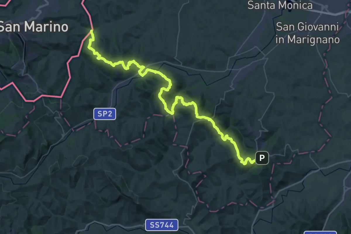
Demanding · Trail
Torrente Marano – Mondaino
27.5 km · ↑ 1360 m · 9 h 42 min
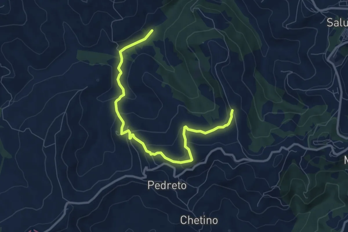
Medium · Trail
Percorso 019 – San Teodoro
8.8 km · ↑ 320 m · 2 h 47 min
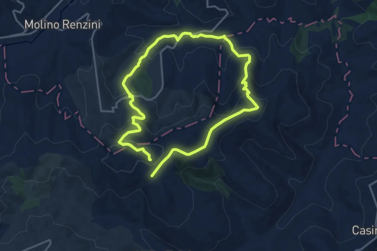
Medium · Trail
Percorso 023 – Percorso 023
8.9 km · ↑ 379 m · 3 h 3 min
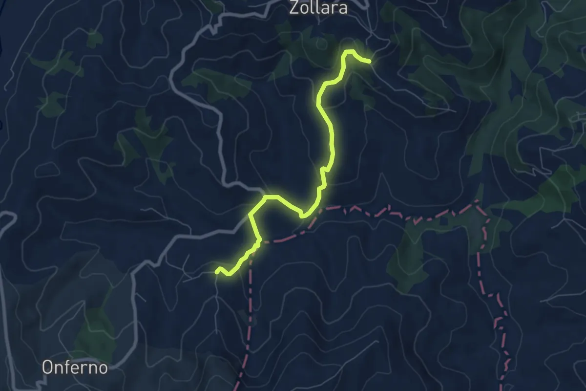
Easy · Trail
Borghetto – Percorso 011
6.8 km · ↑ 313 m · 2 h 17 min
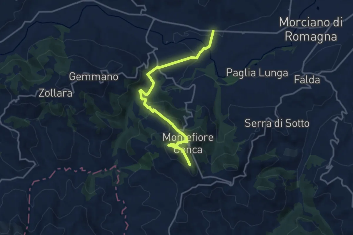
Medium · Trail
Casarola – I Cappuccini
11.7 km · ↑ 487 m · 3 h 49 min
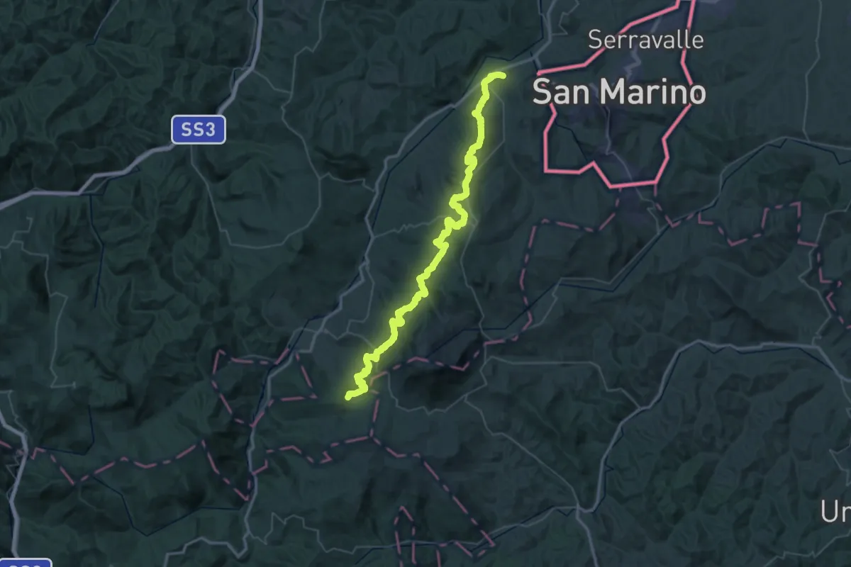
Demanding · Summit
Pietracuta (cimitero) – Miratoio
63.2 km · ↑ 2662 m · 20 h 41 min
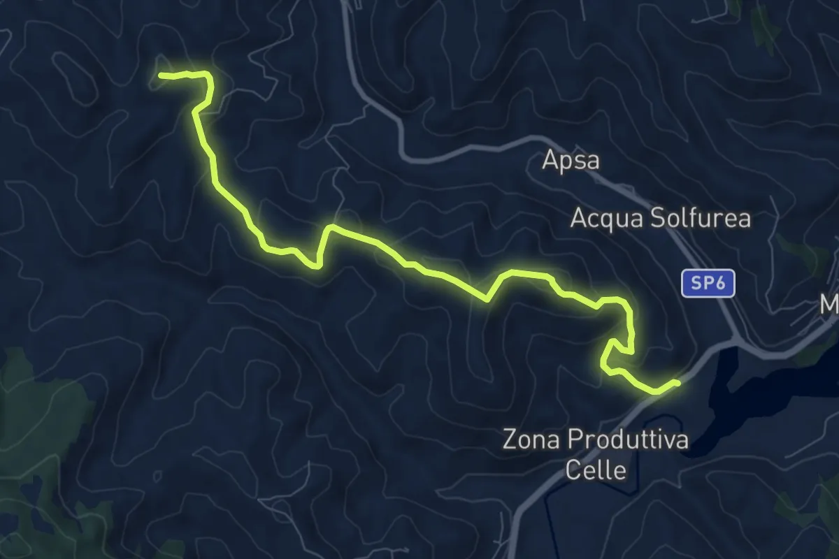
Medium · Trail
Mercatale (fondovalle Foglia) – Percorso 112 (S. Lucia)
10.1 km · ↑ 551 m · 3 h 35 min
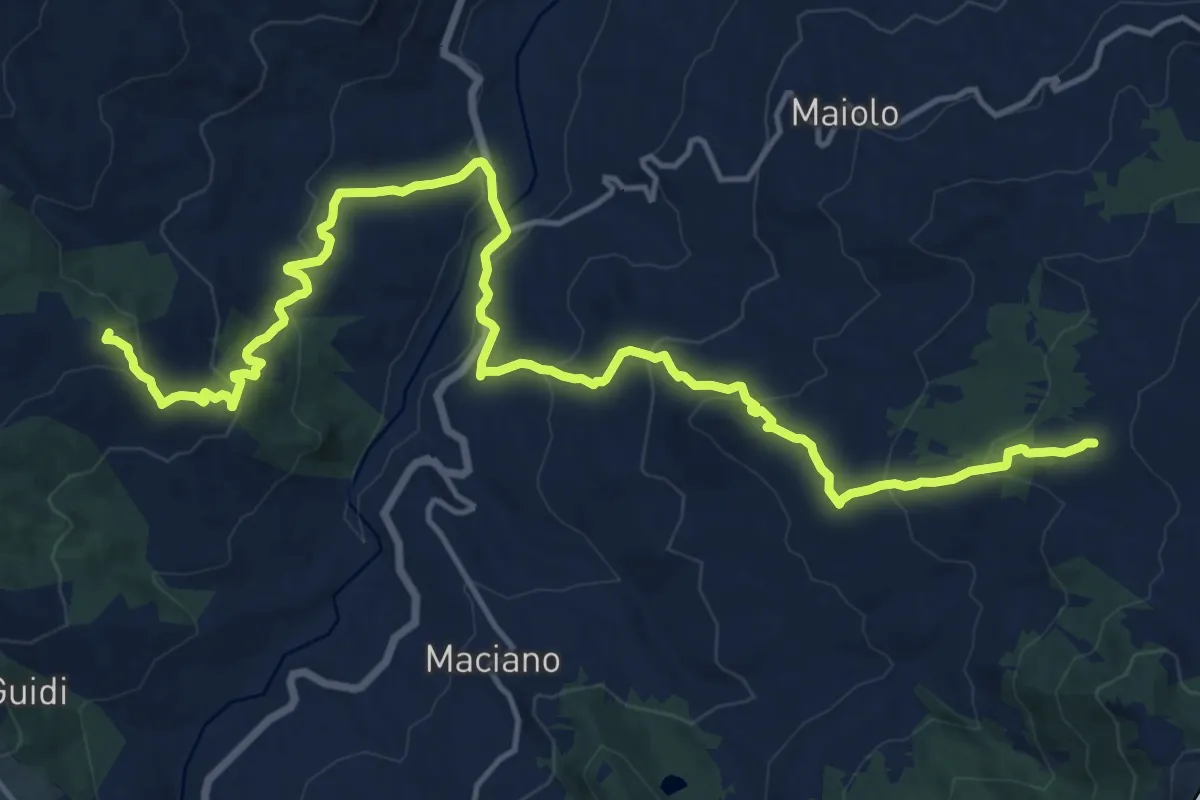
Demanding · Summit
Celletta di Soanne – Botticella
21.0 km · ↑ 991 m · 7 h 6 min
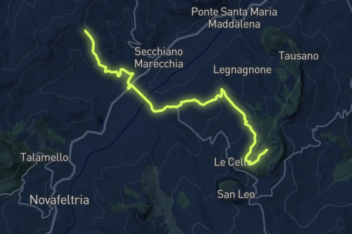
Medium · Trail
Percorso 096 (Poggio Bianco) – Percorso 095 (S.Igne di San Leo)
16.9 km · ↑ 610 m · 5 h 18 min