Trails in Italy
25,219 hiking trails, each with its route, climb, walking time and grade.
All trails, page 320 of 526
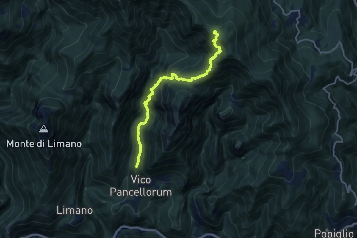
Demanding · Trail
Vico Pancellorum – Prato Bellincioni
10.2 km · ↑ 1040 m · 4 h 40 min
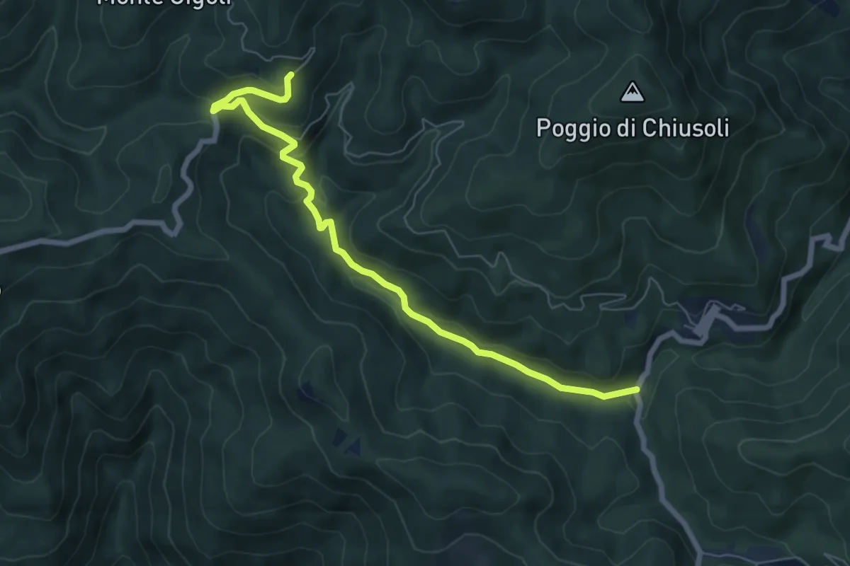
Easy · Trail
Ponte a Rigoli – Bal di Carnevale
7.1 km · ↑ 305 m · 2 h 20 min
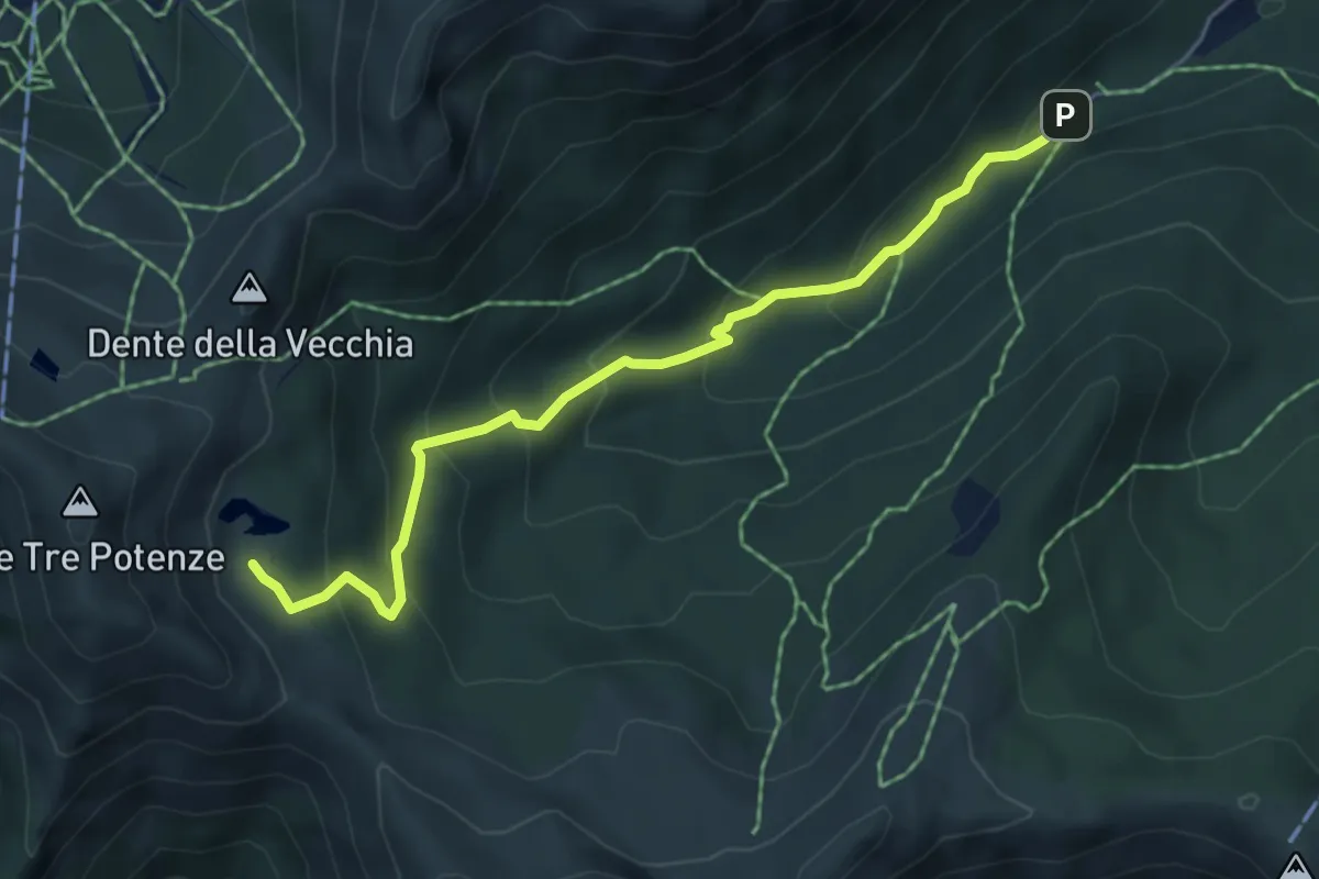
Medium · Cabin
Parcheggio Sestaione – Lago Nero
5.5 km · ↑ 384 m · 2 h 7 min
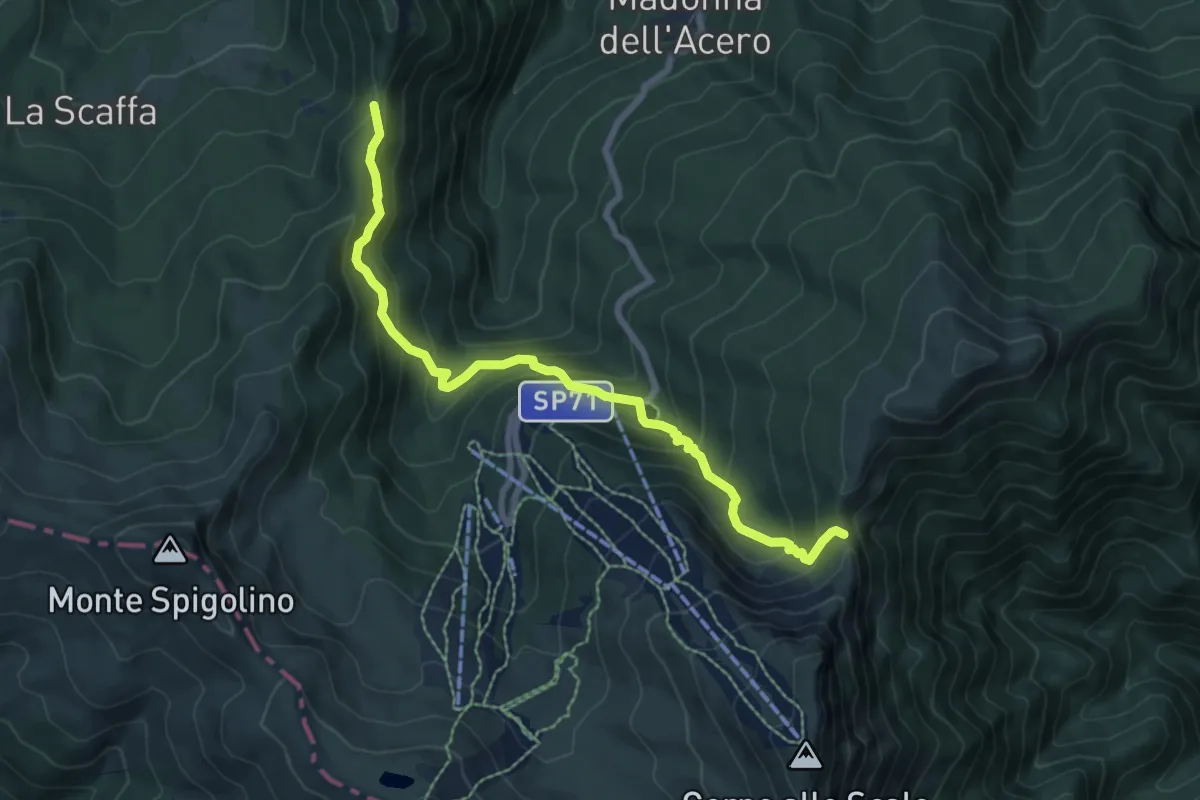
Medium · Trail
Passo della Riva – Passo del Vallone
7.8 km · ↑ 558 m · 3 h 2 min
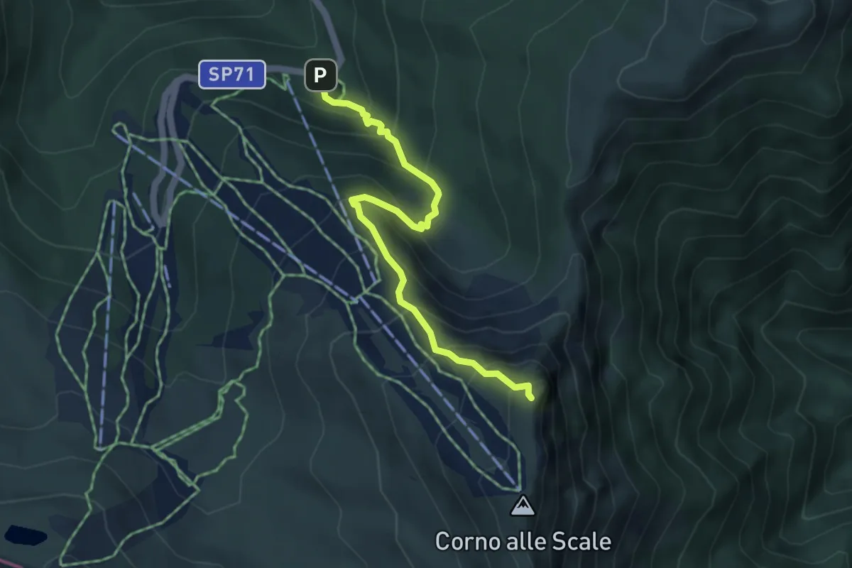
Medium · Summit
Cavone – Corno alle Scale
4.5 km · ↑ 472 m · 2 h 5 min
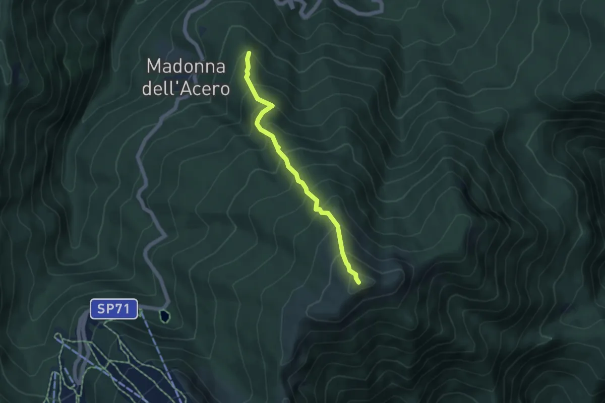
Medium · Summit
Sentiero 323 – Monte la Nuda
4.3 km · ↑ 511 m · 2 h 7 min
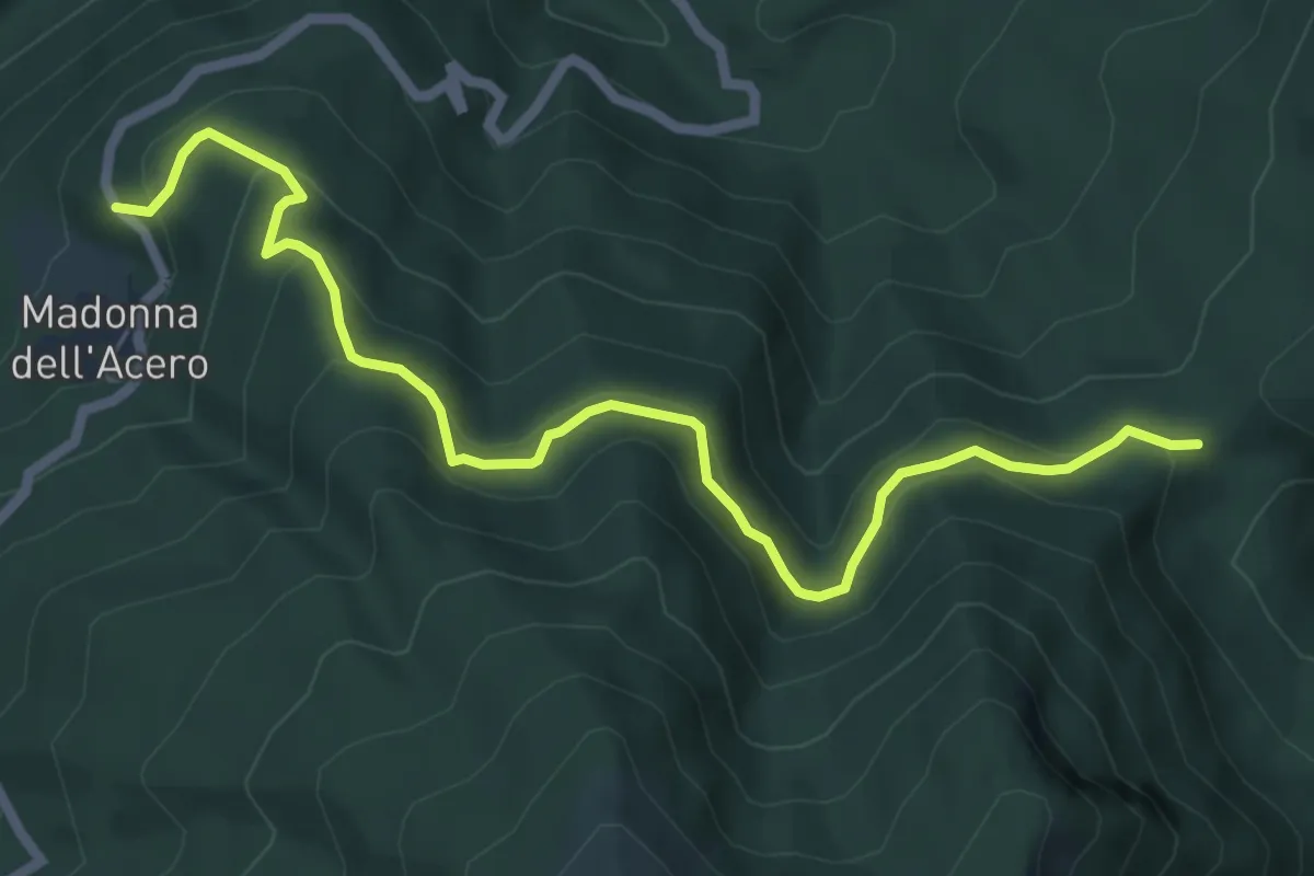
Medium · Trail
Pian d'Ivo – Sboccata dei Bagnadori
7.1 km · ↑ 413 m · 2 h 35 min
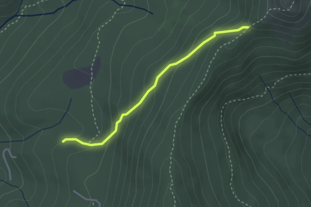
Medium · Trail
Lamarossa – Sella di Lamarossa (percorso 564)
2.7 km · ↑ 210 m · 1 h 5 min
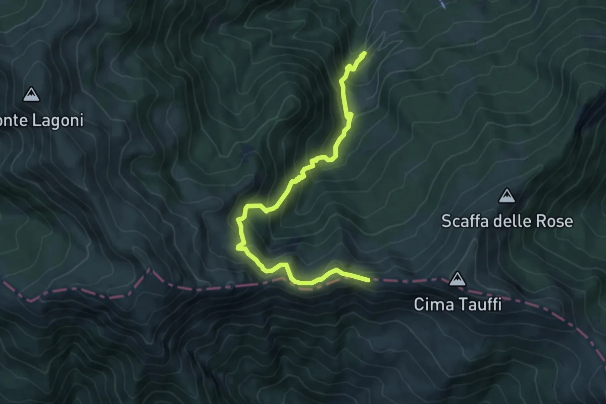
Medium · Summit
I Taburri – Sella del Monte Lancino
8.1 km · ↑ 601 m · 3 h 12 min
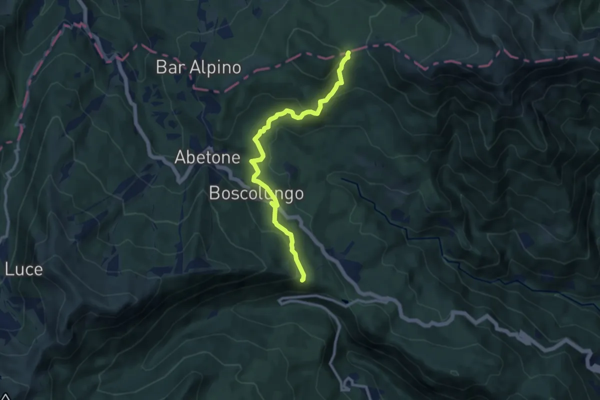
Medium · Trail
Percorso 502 – Foce delle Verginette
9.1 km · ↑ 421 m · 3 h 3 min
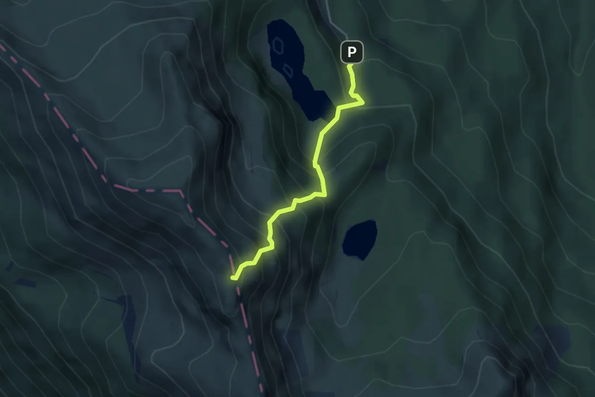
Medium · Trail
Lago Santo – monte Giovo
3.3 km · ↑ 462 m · 1 h 46 min
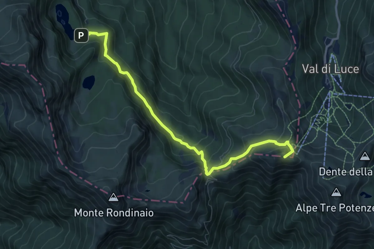
Medium · Summit
Lago Santo Modenese – Sentiero 00
9.4 km · ↑ 609 m · 3 h 32 min
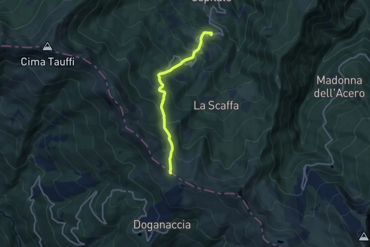
Medium · Trail
Ospitale – Passo di Croce Arcana
8.0 km · ↑ 598 m · 3 h 11 min
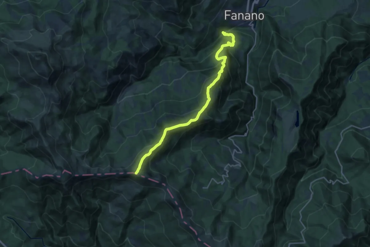
Demanding · Summit
Fanano – Cima Tauffi
16.4 km · ↑ 1285 m · 6 h 40 min
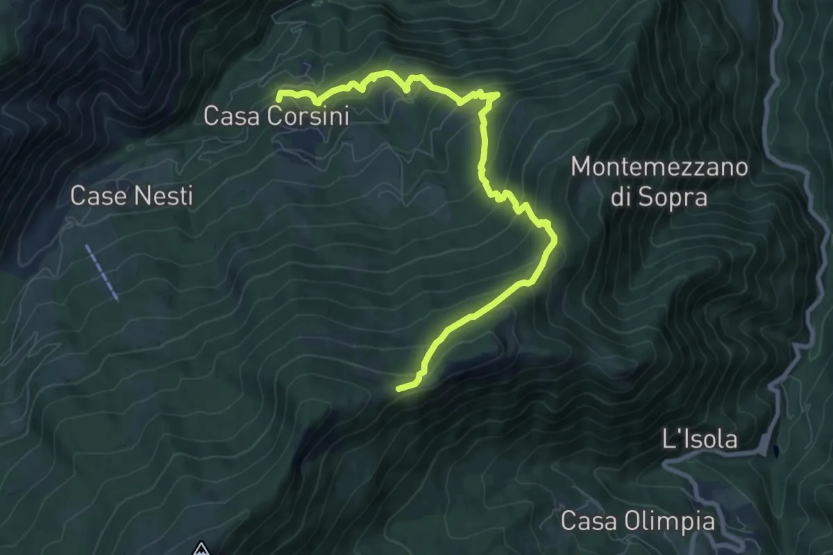
Medium · Trail
Fellicarolo – Passo del Colombino
9.3 km · ↑ 649 m · 3 h 37 min
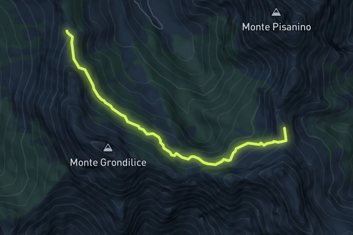
Medium · Summit
Foce di Giovo – Passo della Focolaccia
6.7 km · ↑ 494 m · 2 h 39 min
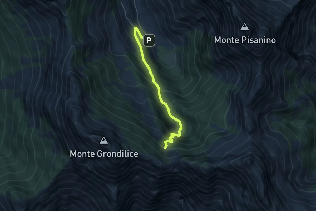
Medium · Cabin
Val Seranaia – Orto di Donna
4.4 km · ↑ 436 m · 1 h 59 min
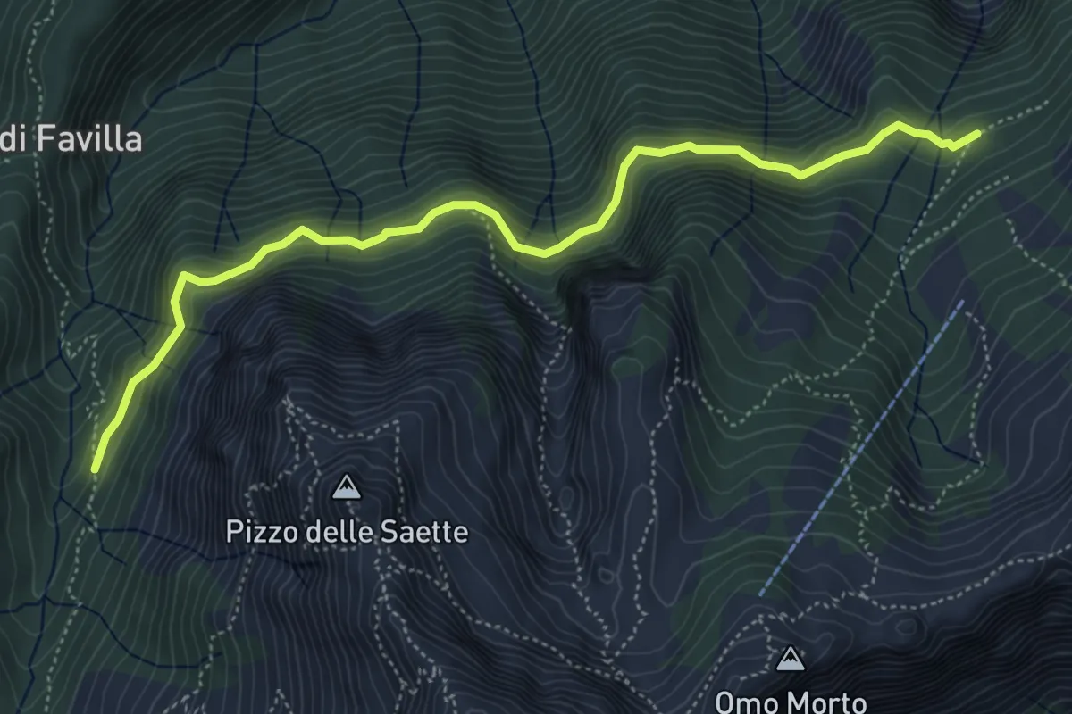
Medium · Cabin
Percorso 7 – Percorso 9
5.9 km · ↑ 428 m · 2 h 19 min
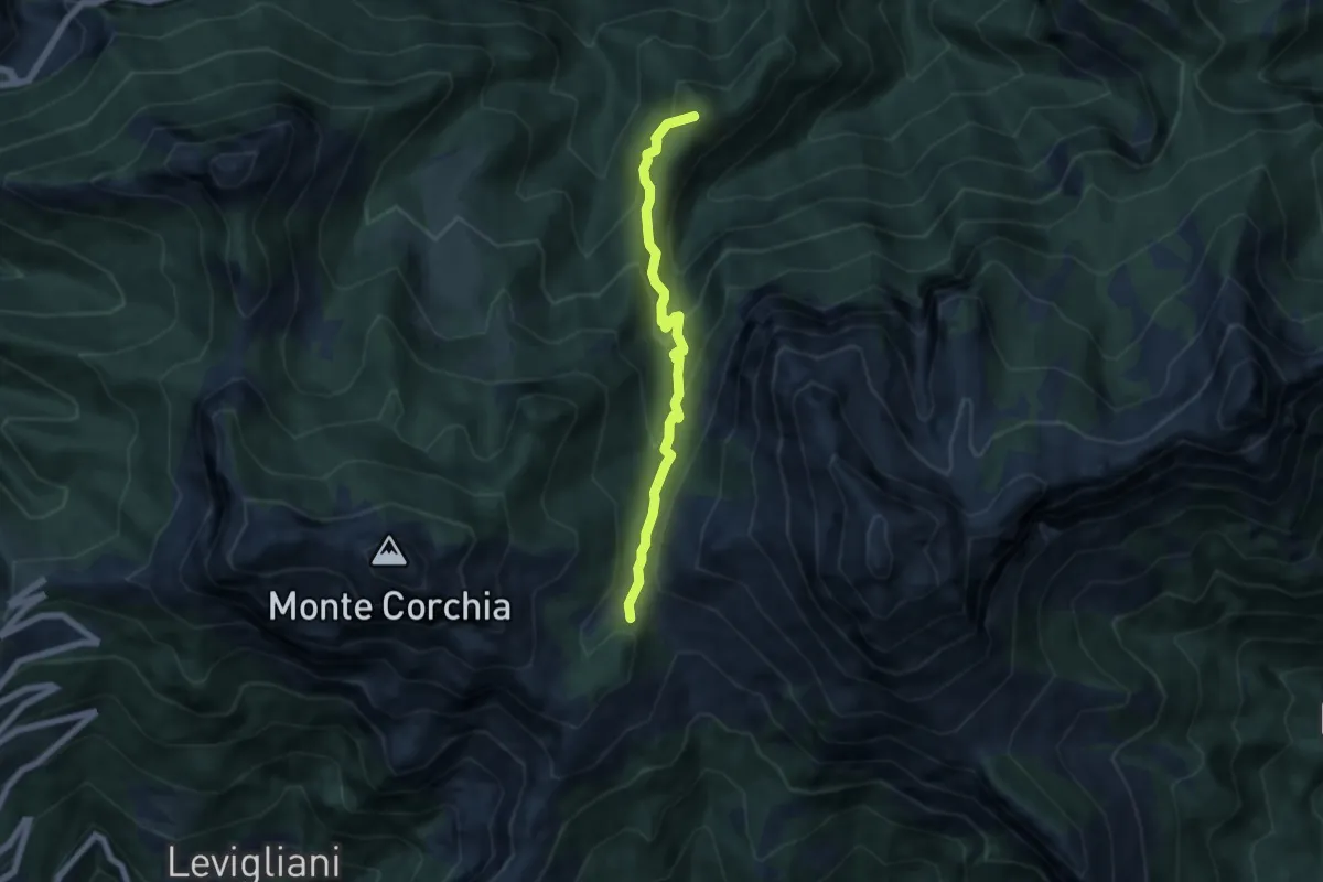
Medium · Summit
Foce di Mosceta – Isola Santa
6.0 km · ↑ 470 m · 2 h 26 min
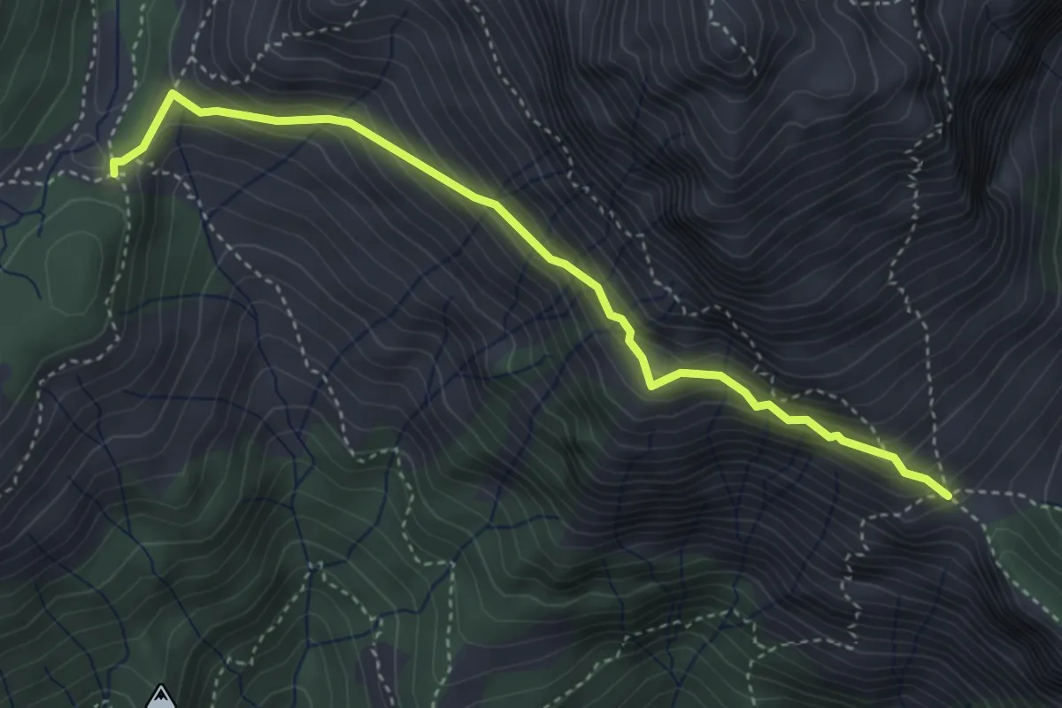
Expert · Trail
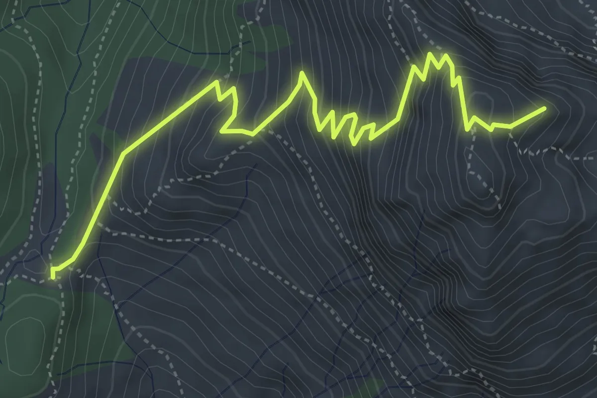
Foce di Mosceta – Foce di Valli
4.1 km · ↑ 386 m · 1 h 49 min
Medium · Summit
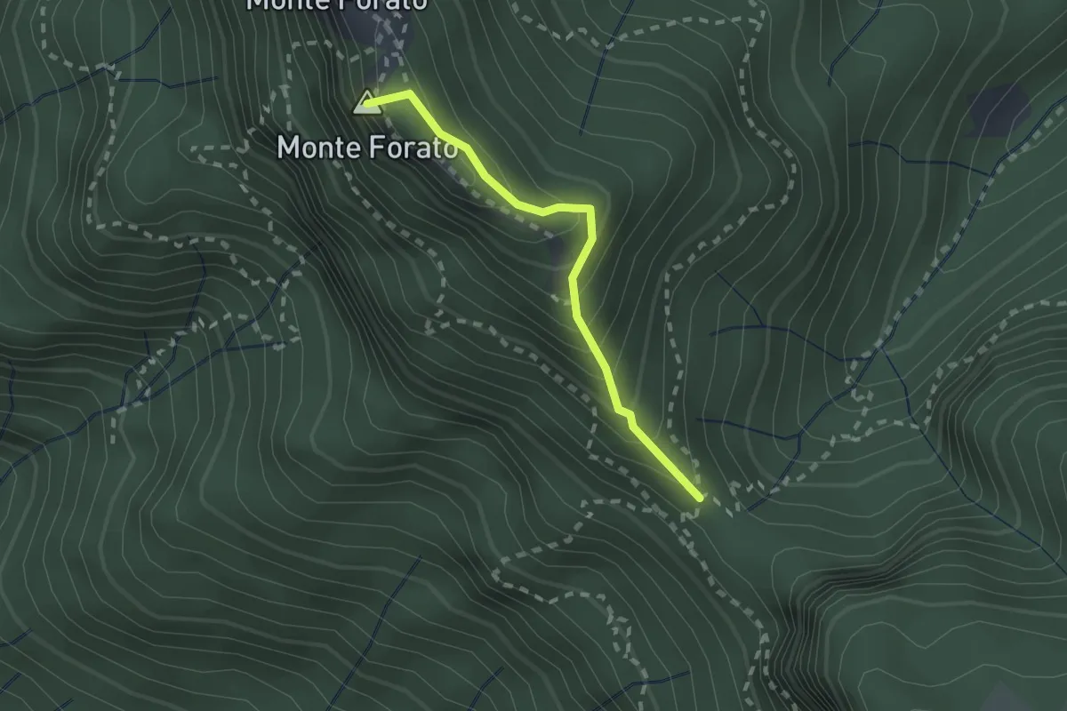
Foce di Mosceta – Focetta del Puntone
5.8 km · ↑ 728 m · 2 h 57 min
Demanding · Summit
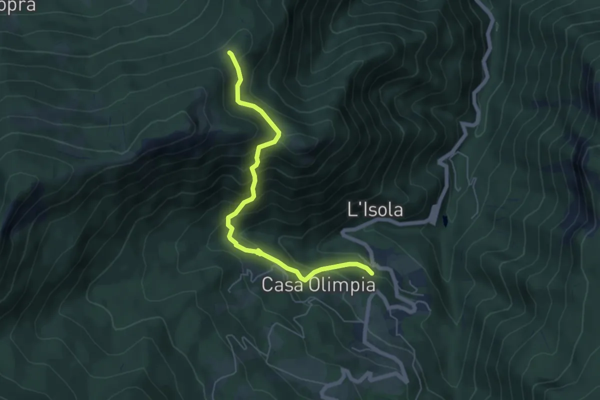
Foce di Petrosciana – Foce di Valli
1.9 km · ↑ 225 m · 56 min
Medium · Trail
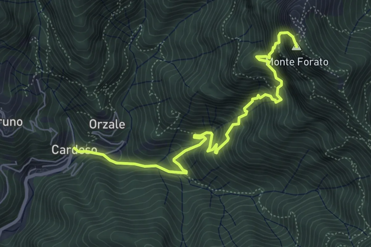
Ospitale – Capanne di Monte Lancio
5.6 km · ↑ 487 m · 2 h 23 min
Demanding · Summit
Cardoso – Fornovolasco
6.7 km · ↑ 965 m · 3 h 41 min
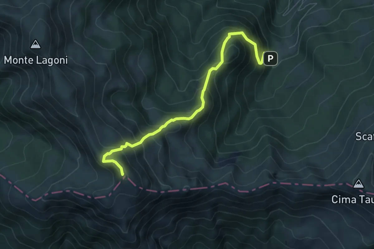
Expert · Summit
I Taburri – Libro Aperto
6.9 km · ↑ 703 m · 3 h 9 min
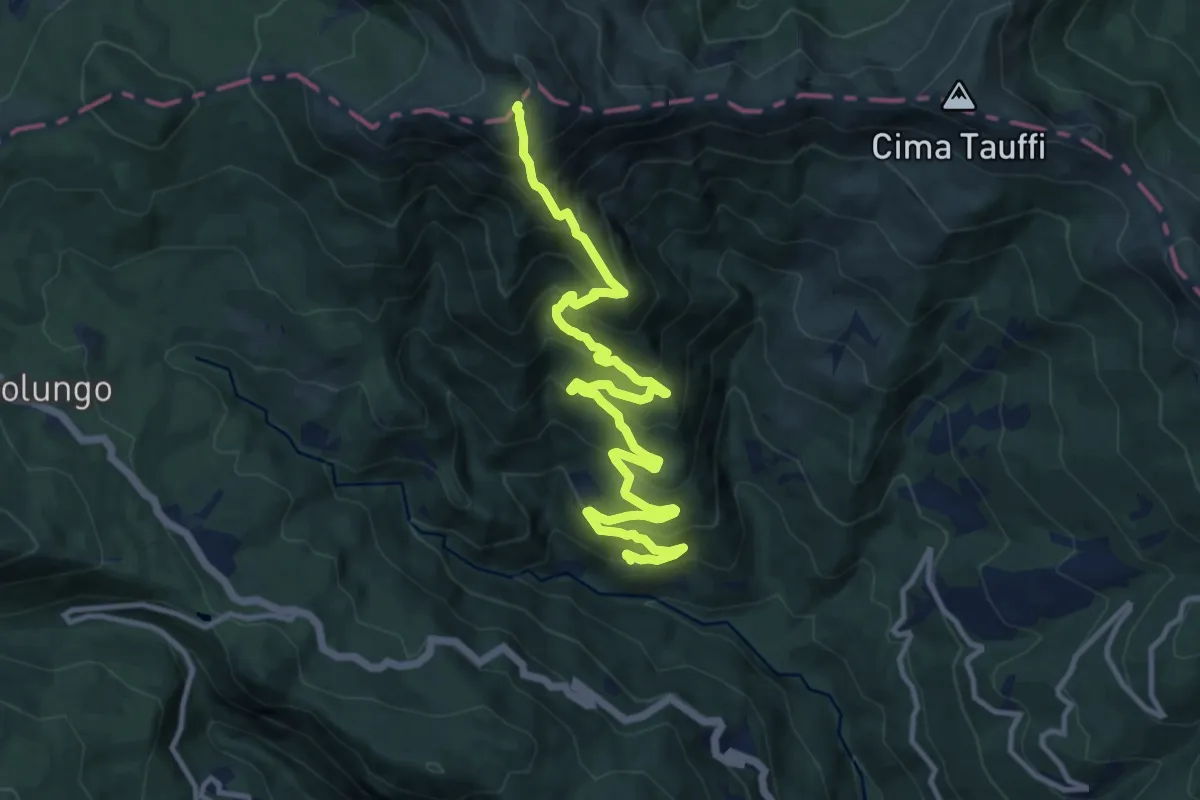
Demanding · Trail
Rivoreta – Libro Aperto
14.3 km · ↑ 1093 m · 5 h 45 min
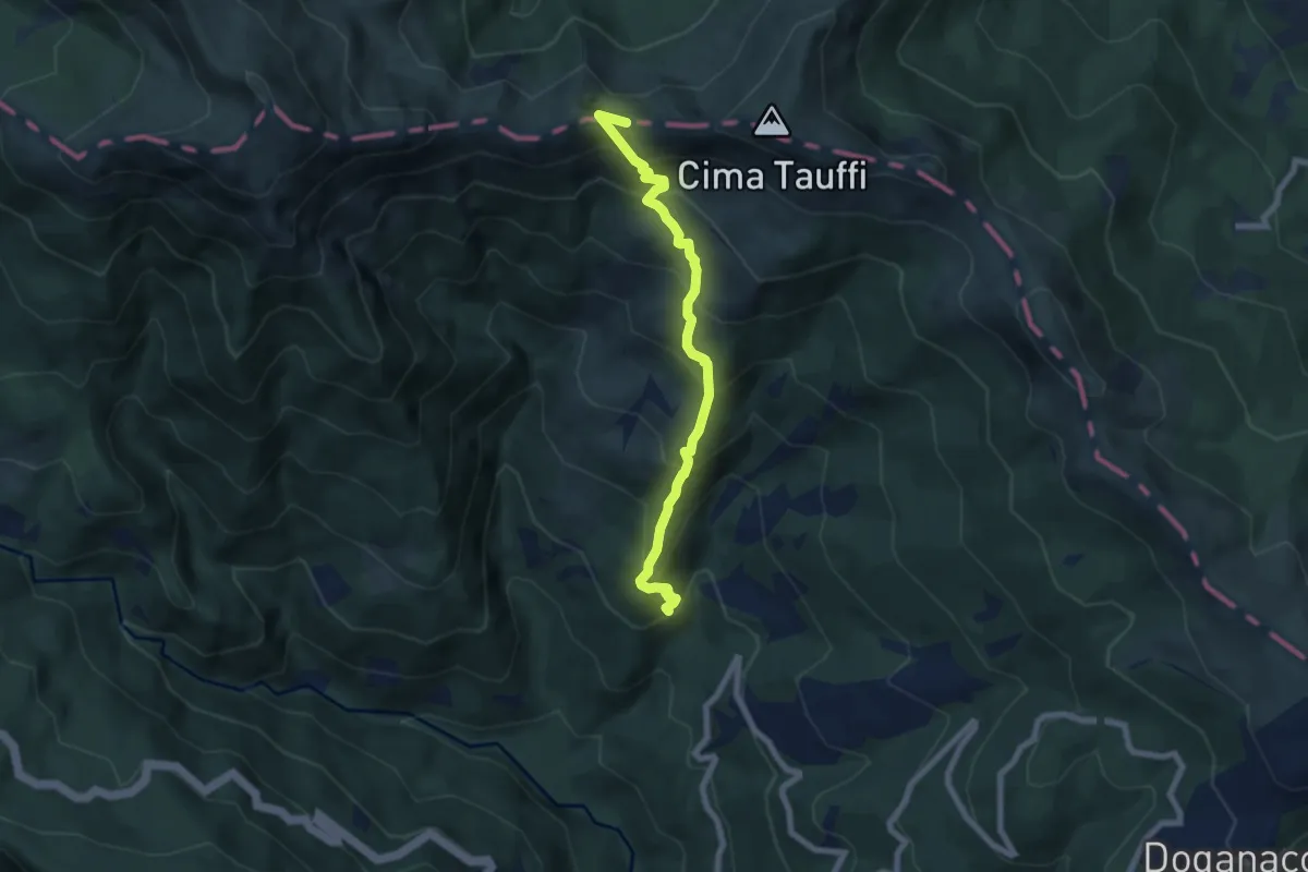
Medium · Summit
Il Melo (Località Casetta) – Monte Lancino
7.1 km · ↑ 686 m · 3 h 10 min
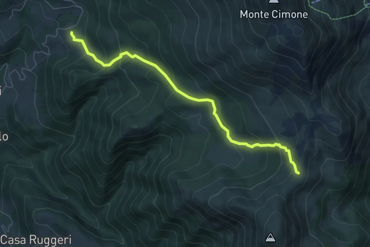
Medium · Trail
Doccia – Percorso 447
6.9 km · ↑ 473 m · 2 h 39 min
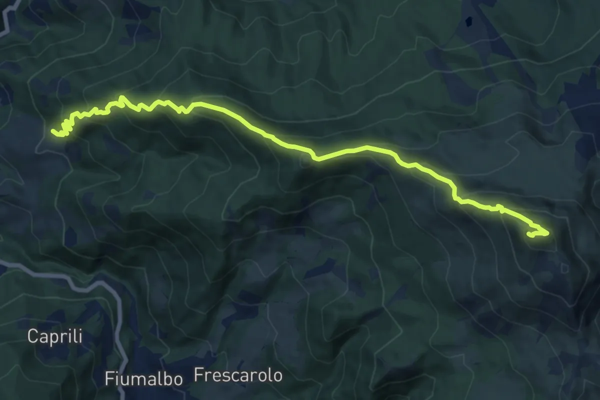
Demanding · Summit
Casa Manzi – Monte Cimone
14.1 km · ↑ 1139 m · 5 h 47 min
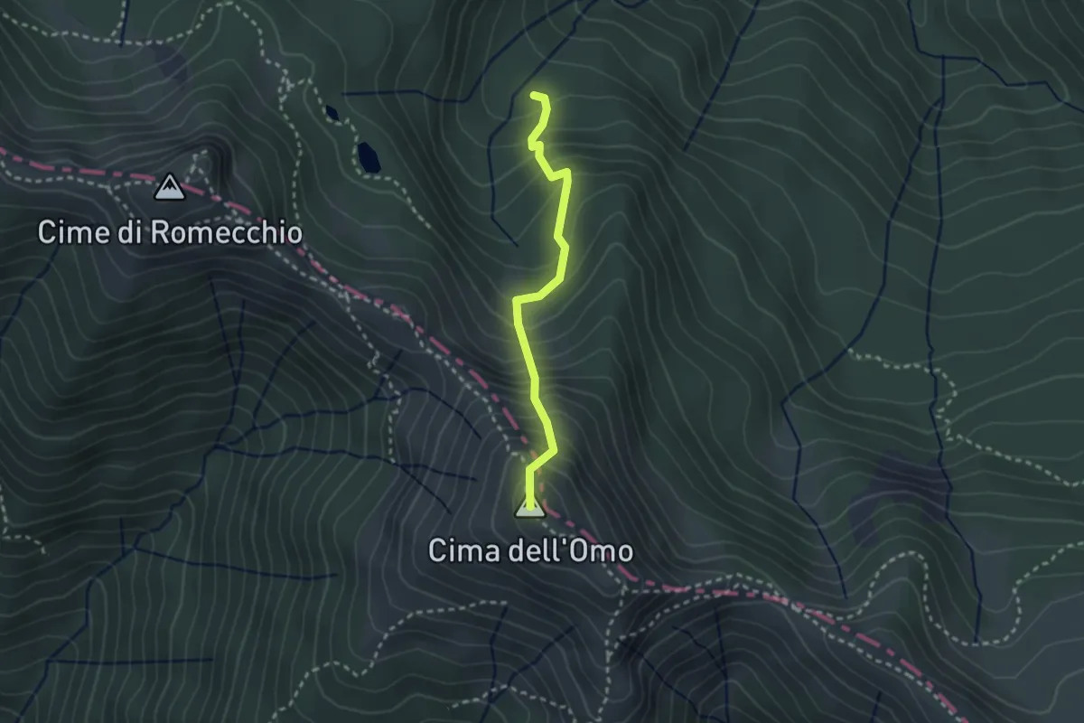
Medium · Summit
Sentiero 543 – Cima dell'Omo
2.5 km · ↑ 365 m · 1 h 22 min
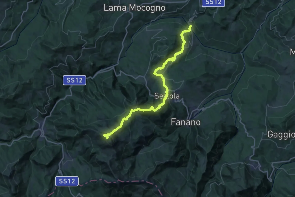
Expert · Summit
Ponte del Prugneto – Monte Cimone
42.8 km · ↑ 2483 m · 15 h 29 min
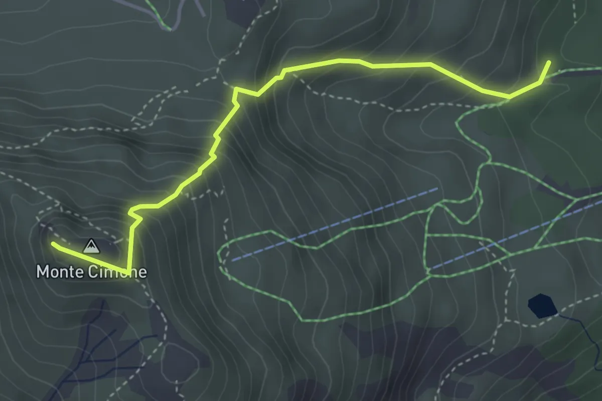
Medium · Summit
Fontana Bedini – Monte Cimone
4.1 km · ↑ 510 m · 2 h 4 min
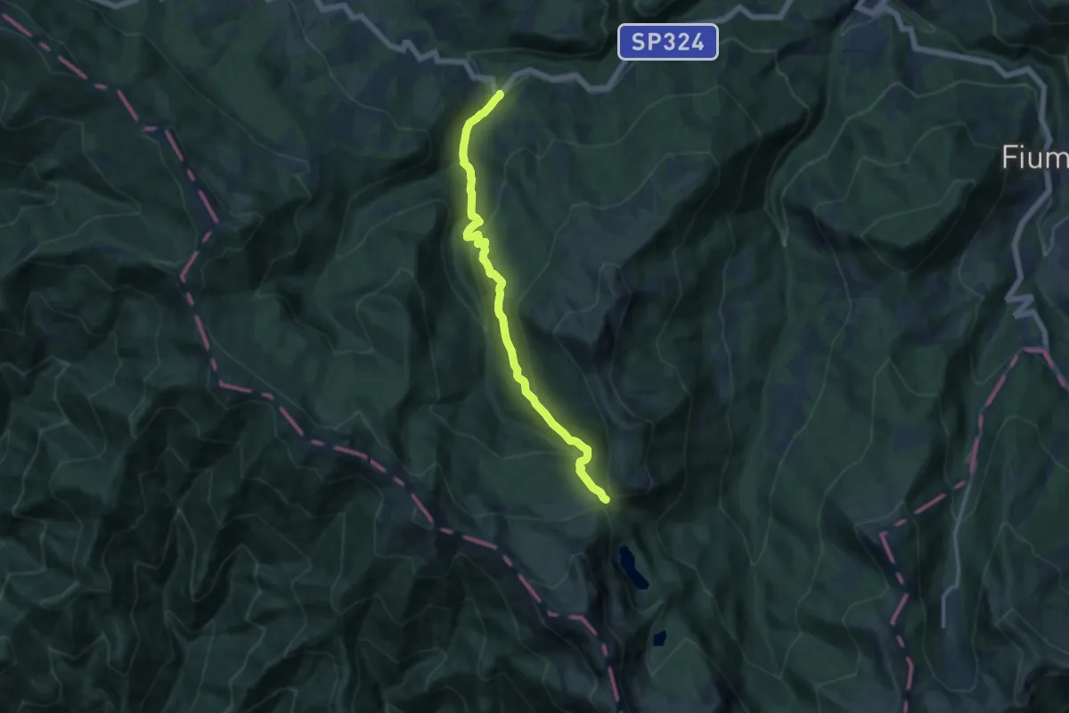
Medium · Trail
Ponte Sant'Anna – Passo della Boccaia
12.1 km · ↑ 672 m · 4 h 19 min
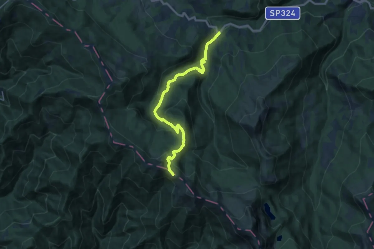
Medium · Trail
Ponte Sant'Anna – Passo del Terzino
14.7 km · ↑ 783 m · 5 h 10 min
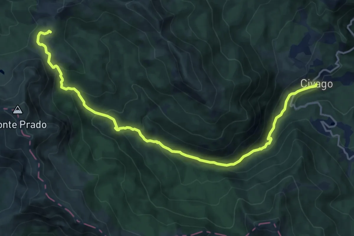
Demanding · Trail
Civago – Rifugio Battisti
15.3 km · ↑ 870 m · 5 h 30 min
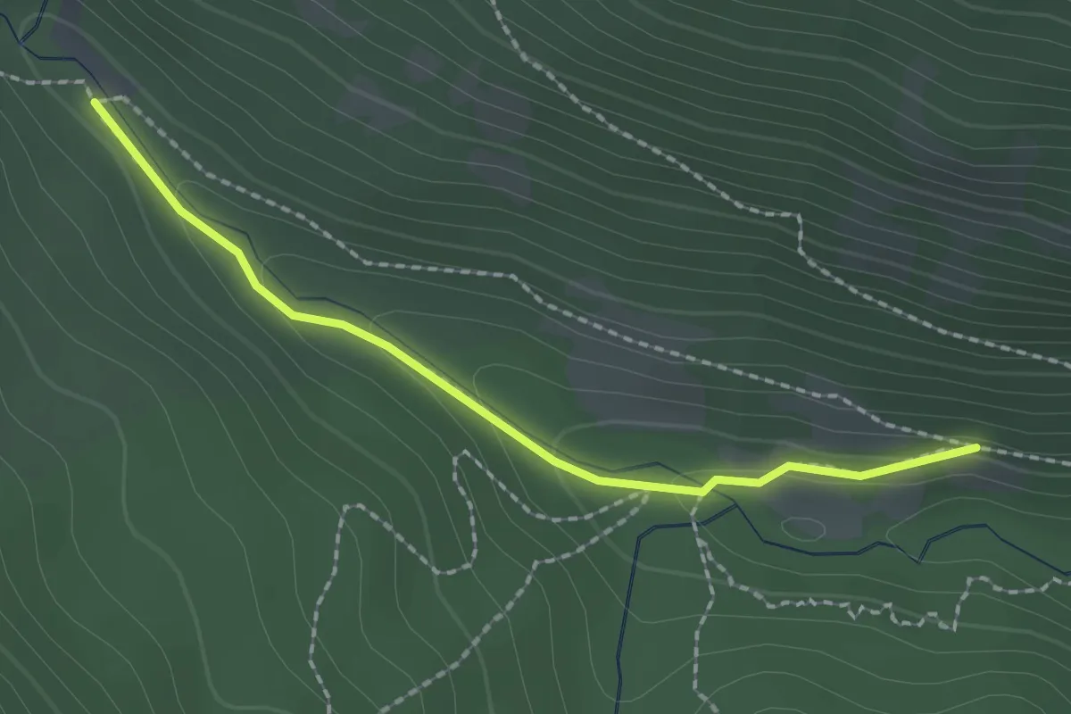
Easy · Trail
Percorso 605 – Passerella sul Dolo
2.0 km · ↑ 62 m · 37 min
Easy · Cabin
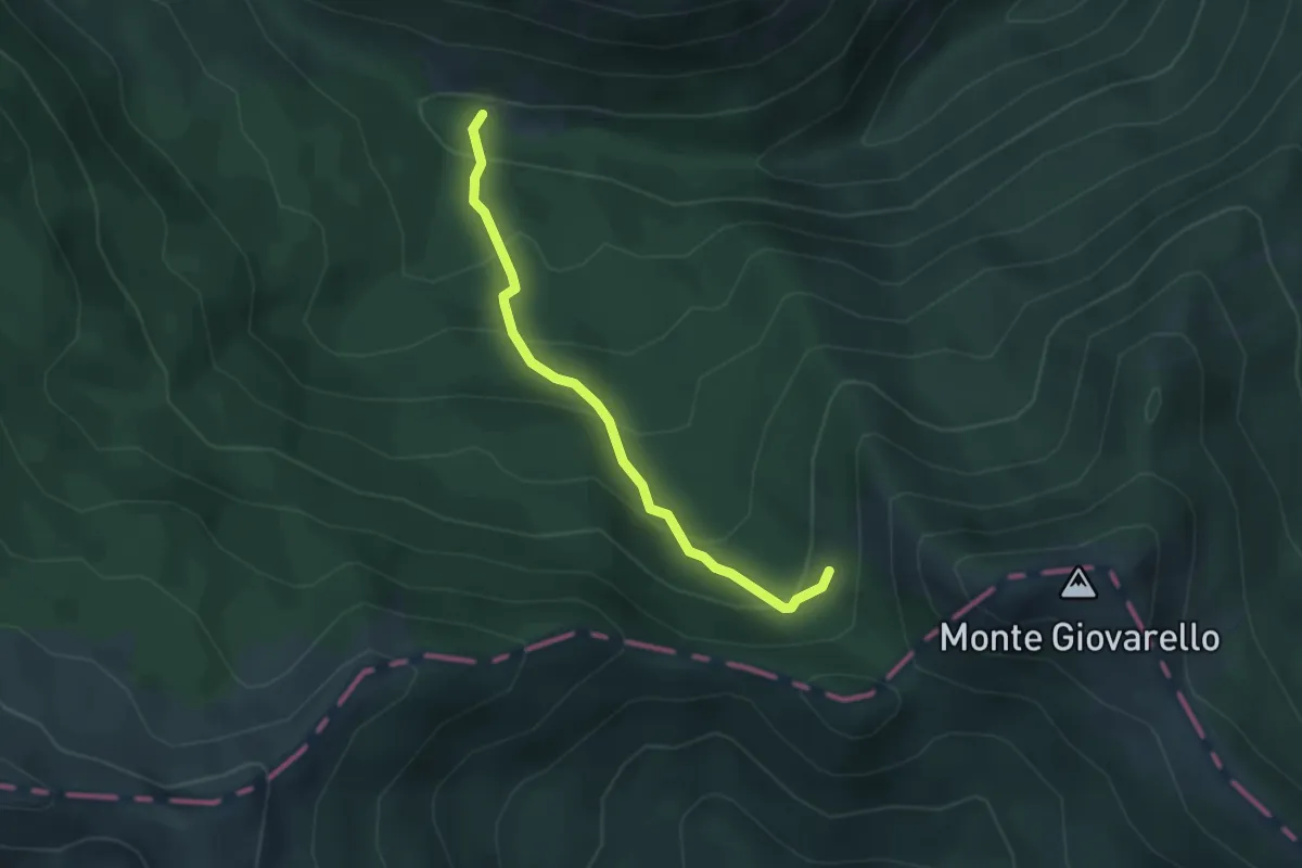
Rifugio San Leonardo – Percorso 603
3.4 km · ↑ 277 m · 1 h 24 min
Demanding · Summit
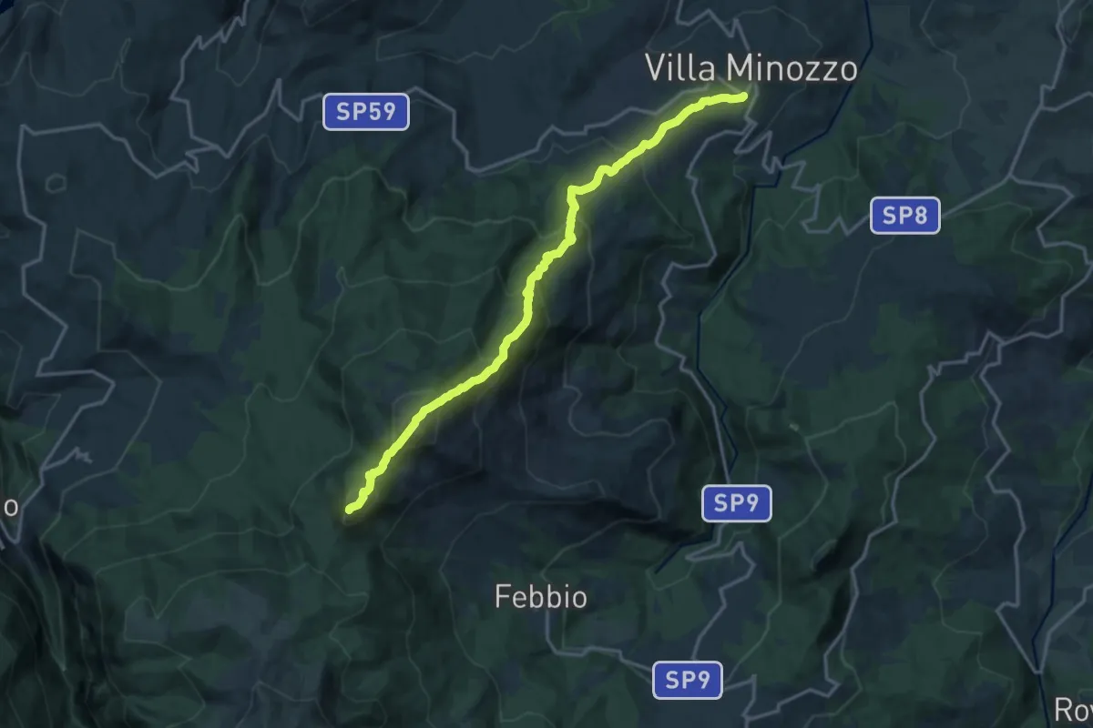
Valbucciana – Il Passone
16.6 km · ↑ 1308 m · 6 h 46 min
Demanding · Summit
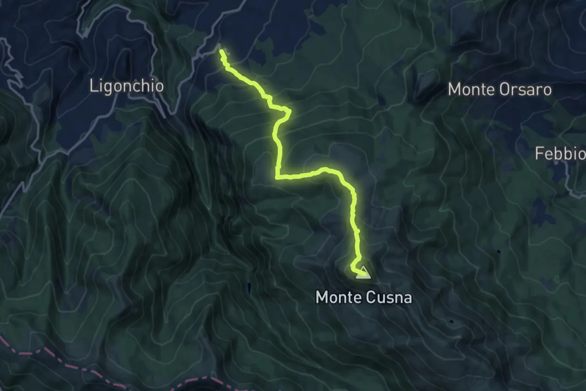
Casalino – Monte Cusna
12.5 km · ↑ 1157 m · 5 h 27 min
Medium · Trail
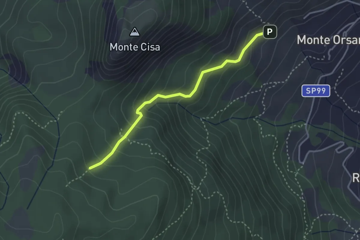
Rifugio Monteorsaro – Percorso 623
3.2 km · ↑ 242 m · 1 h 17 min
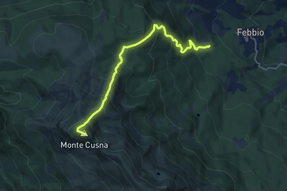
Demanding · Summit
Peschiera Zamboni – Monte Cusna
9.9 km · ↑ 924 m · 4 h 21 min
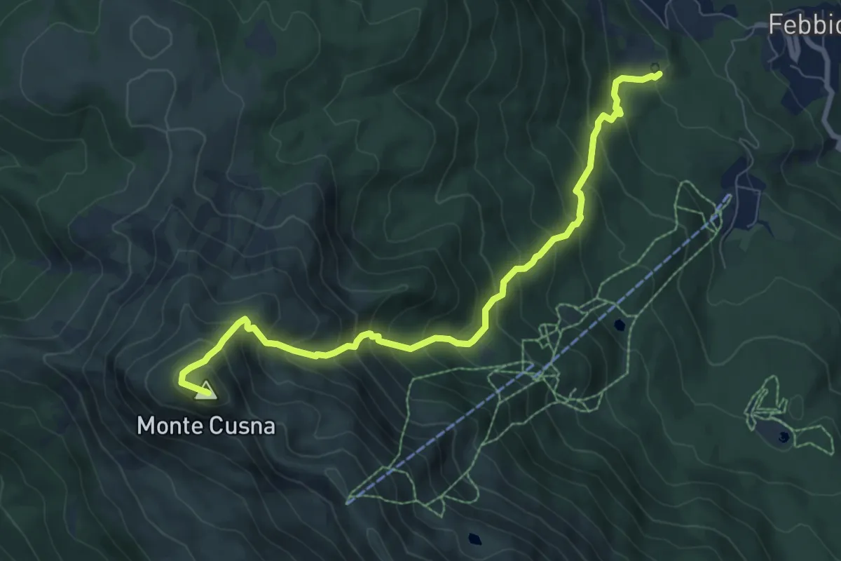
Demanding · Summit
Peschiera Zamboni – Monte Cusna
8.6 km · ↑ 920 m · 4 h 2 min
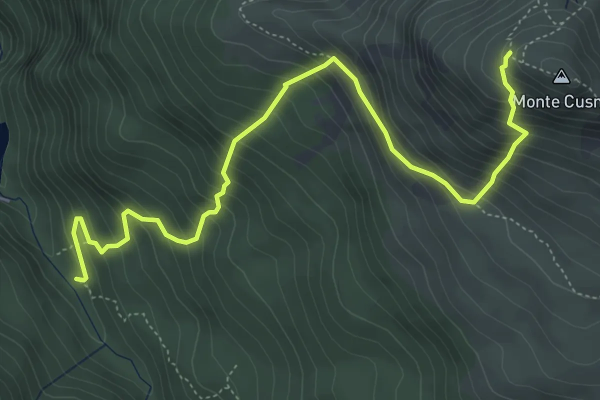
Medium · Trail
Presa Alta – Monte Cusna
6.2 km · ↑ 742 m · 3 h 5 min
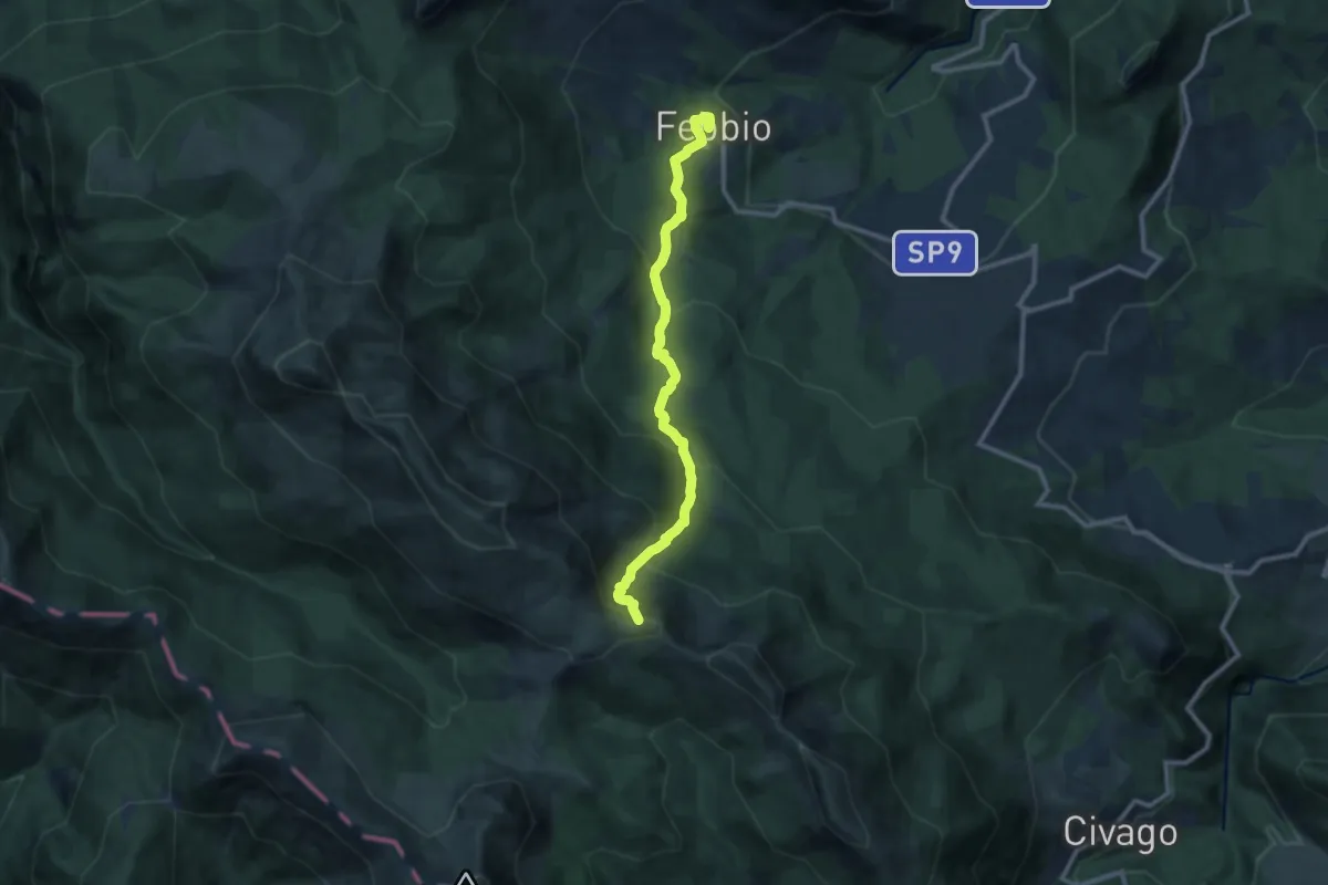
Medium · Summit
Febbio – Lama Lite
10.6 km · ↑ 790 m · 4 h 13 min
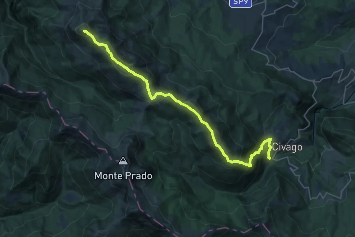
Expert · Summit
Case di Civago – Monte Cusna
20.1 km · ↑ 1490 m · 7 h 59 min
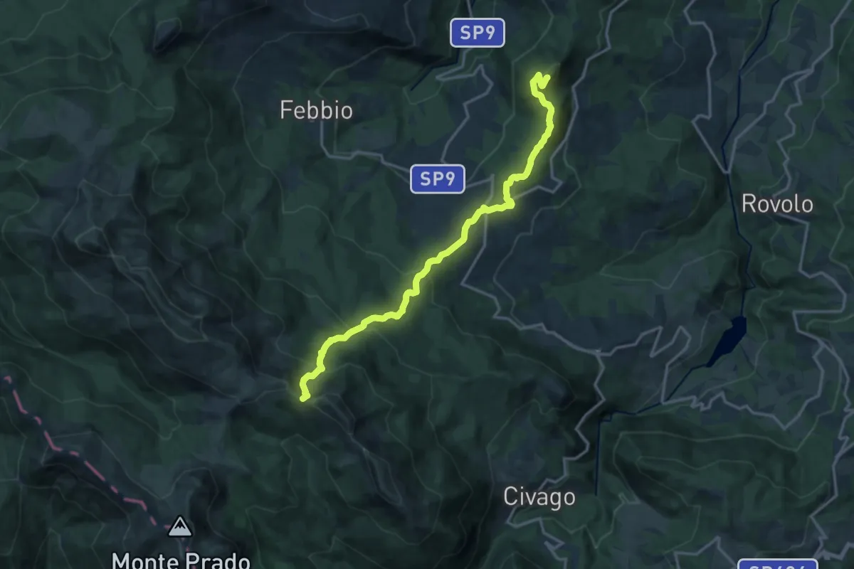
Demanding · Summit
Ca' del Monte – Passone di Vallestrina
15.9 km · ↑ 959 m · 5 h 50 min
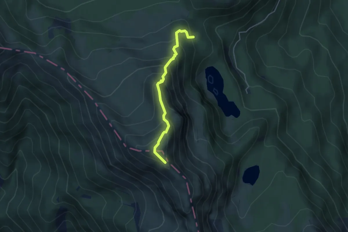
Medium · Summit
Bivio 529 – Monte Giovo
3.6 km · ↑ 423 m · 1 h 46 min
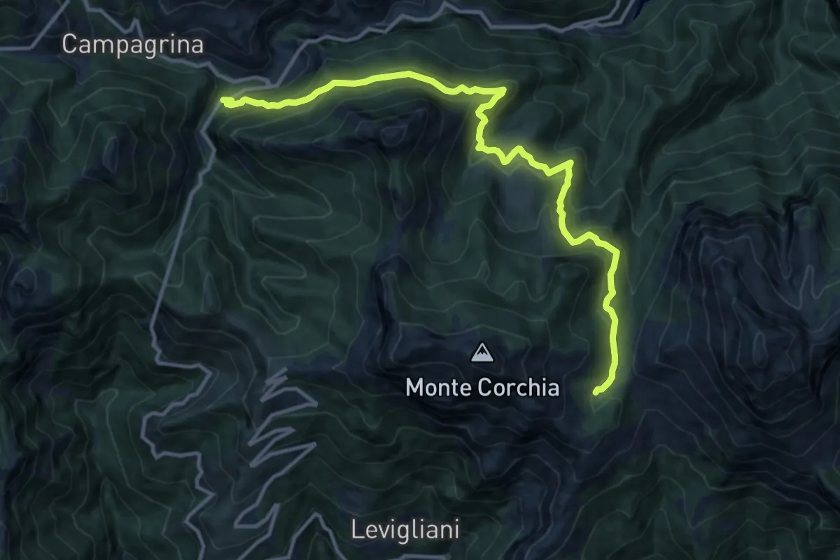
Demanding · Cabin
Tre Fiumi – Rifugio Giuseppe Del Freo
13.7 km · ↑ 1047 m · 5 h 31 min