Trails in Italy
25,219 hiking trails, each with its route, climb, walking time and grade.
All trails, page 330 of 526
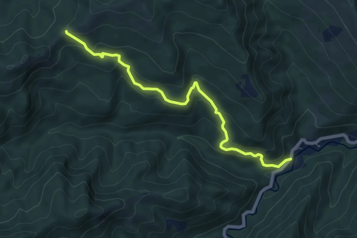
Medium · Cabin
S. R. 302 – Lozzole
7.1 km · ↑ 427 m · 2 h 36 min
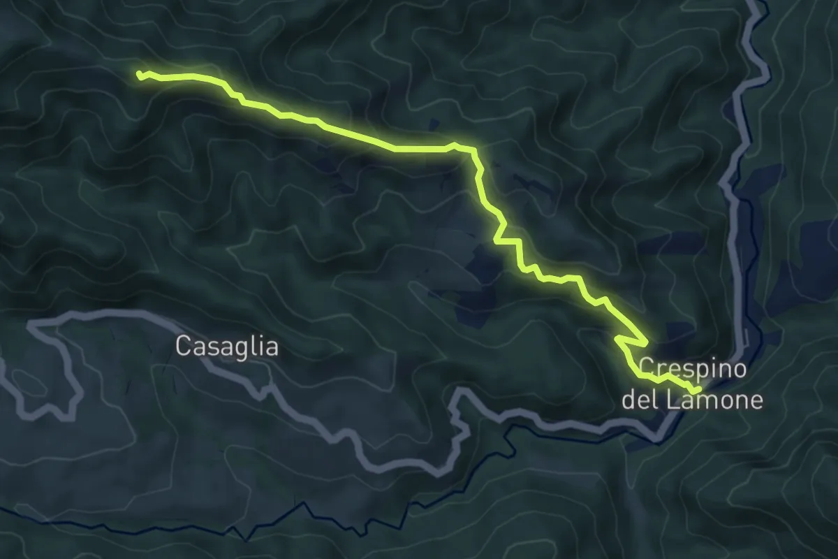
Medium · Summit
Crespino del Lamone – Percorso CAI 505
7.8 km · ↑ 594 m · 3 h 8 min
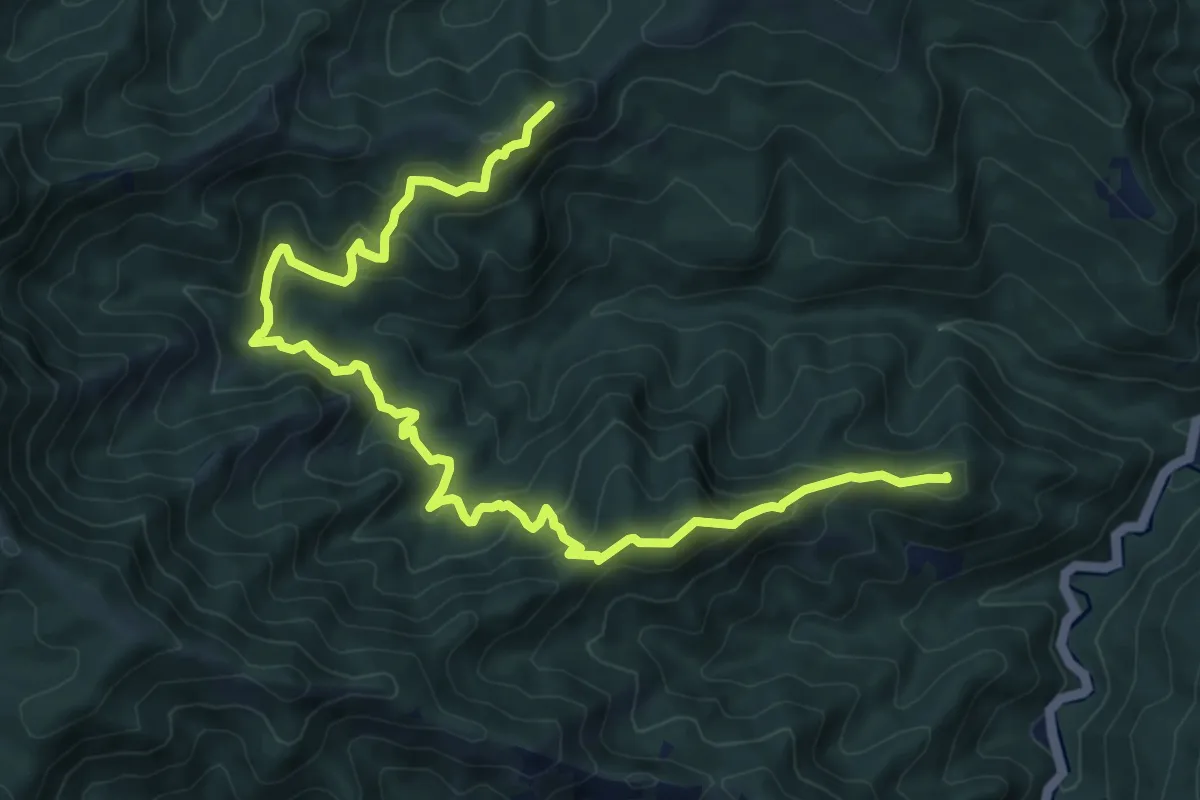
Demanding · Summit
S. R. 302 – Percorso CAI 505 (Lozzole)
11.6 km · ↑ 810 m · 4 h 30 min
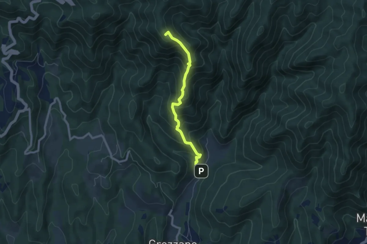
Medium · Summit
Grezzano – Passo del Giogo
5.3 km · ↑ 501 m · 2 h 21 min
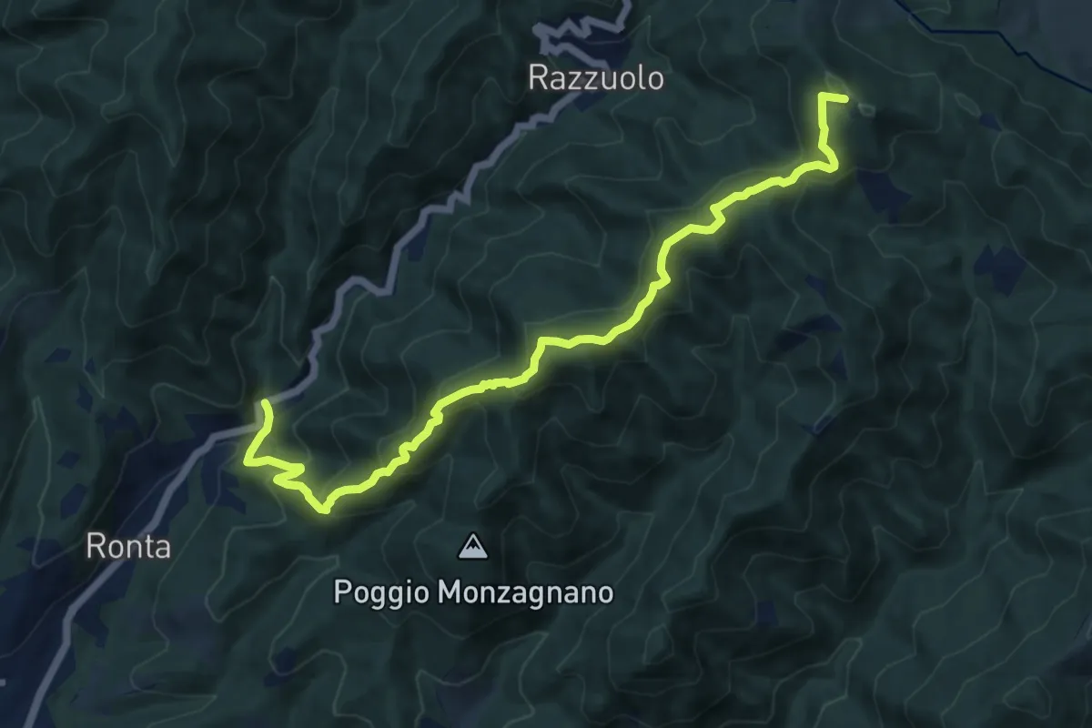
Medium · Summit
Madonna dei Tre Fiumi – Colla di Casaglia
12.2 km · ↑ 796 m · 4 h 37 min
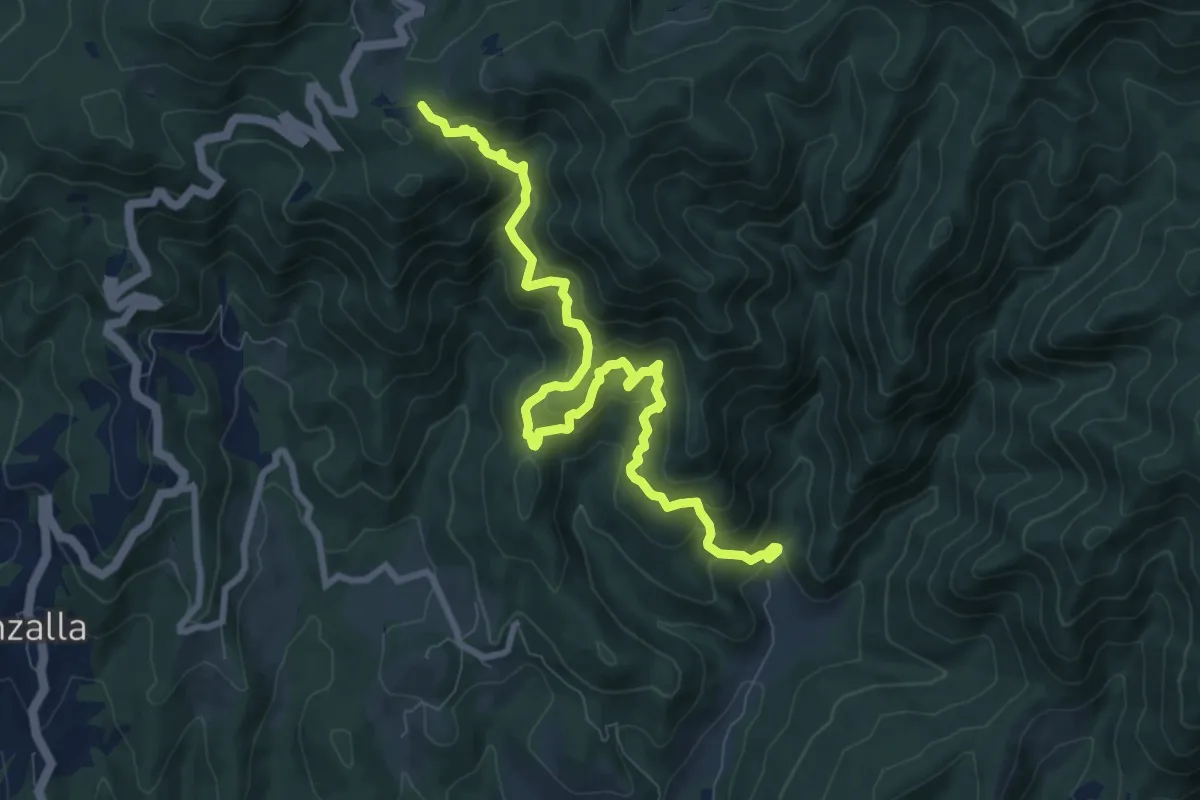
Demanding · Trail
Grezzano – Passo del Giogo
10.0 km · ↑ 880 m · 4 h 16 min
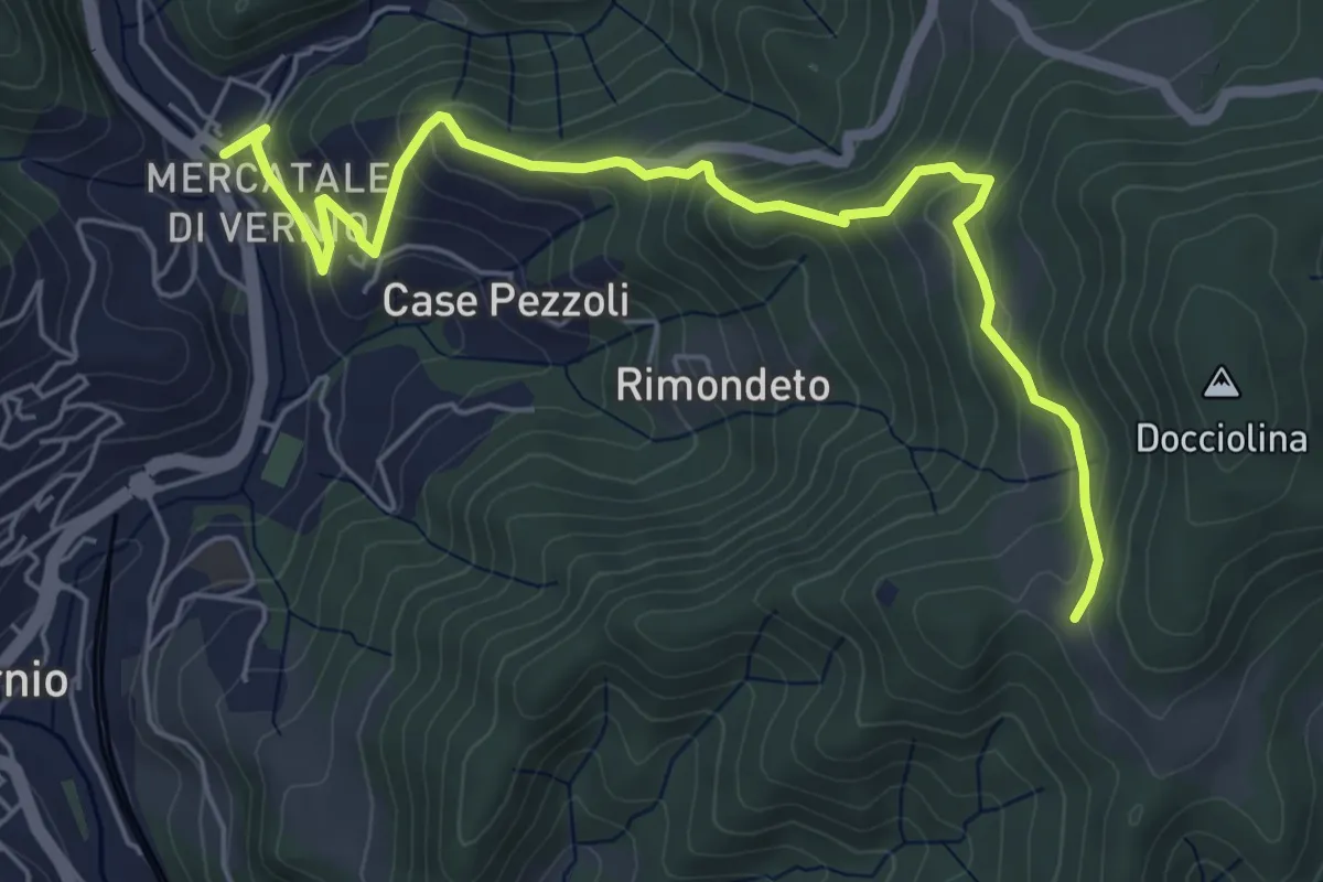
Medium · Trail
San Quirico – Le Soda
6.7 km · ↑ 398 m · 2 h 27 min
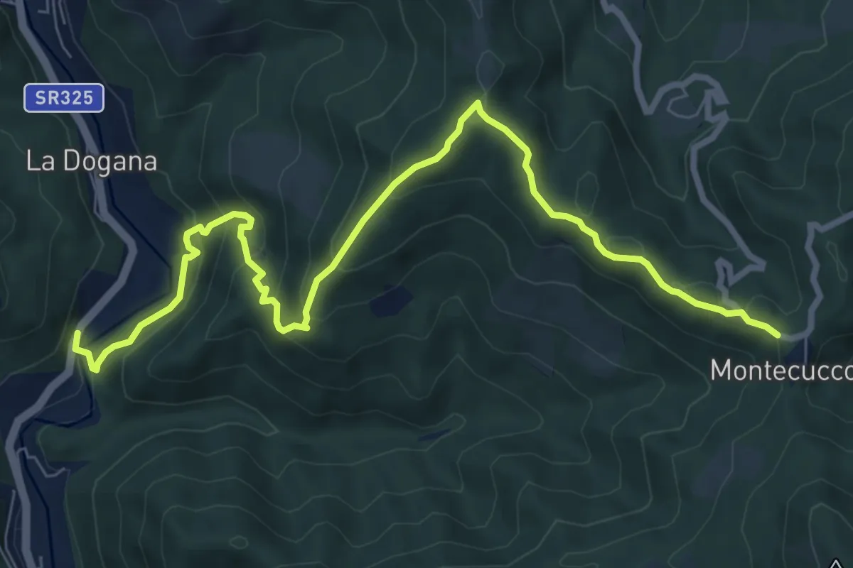
Medium · Trail
Ponte di Cerbaia – Montecuccoli
9.4 km · ↑ 534 m · 3 h 23 min
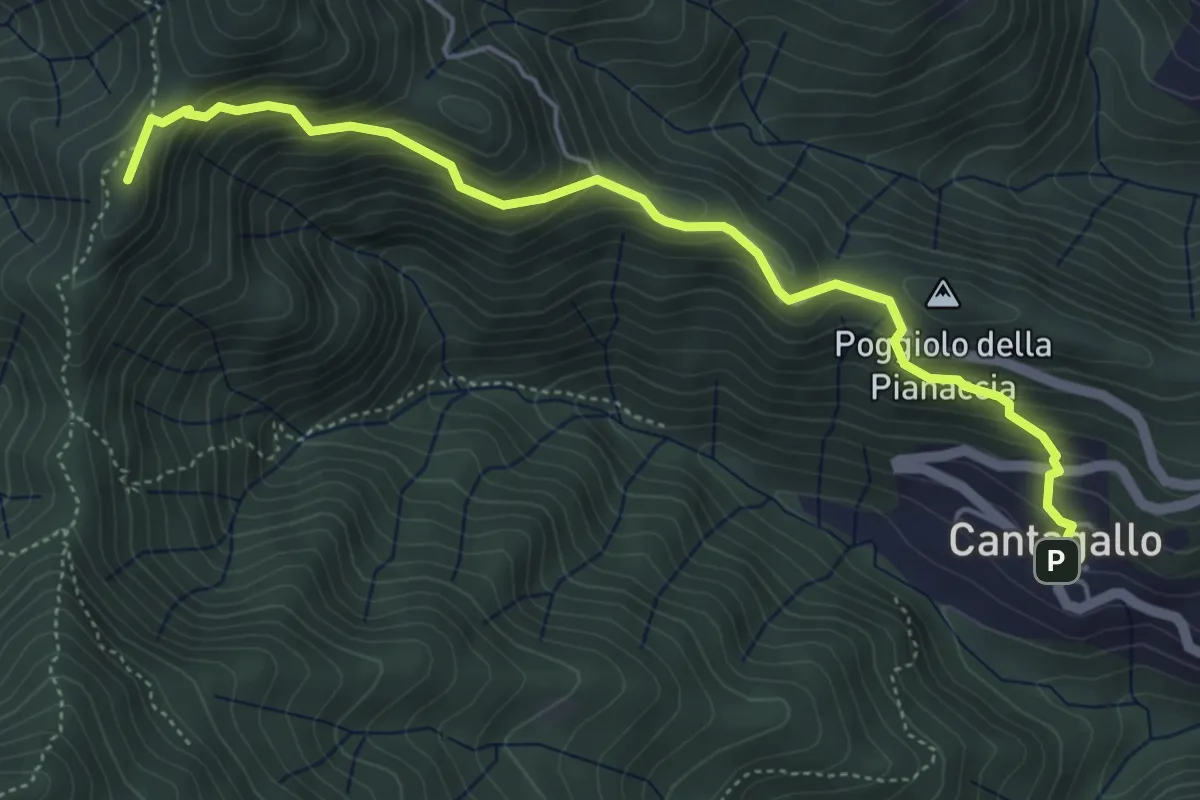
Medium · Summit
Cantagallo – Passo del Treppio
5.5 km · ↑ 466 m · 2 h 19 min
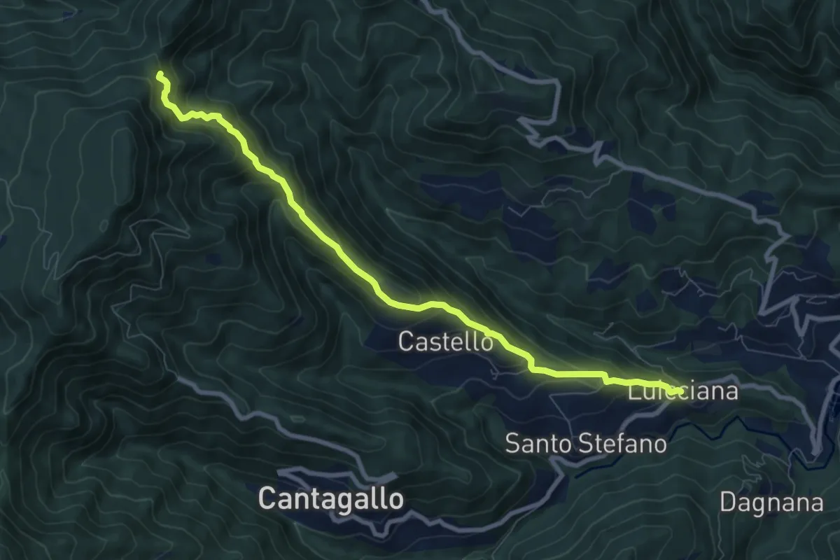
Medium · Trail
Passo delle Pescine – Lucciana
8.7 km · ↑ 605 m · 3 h 22 min
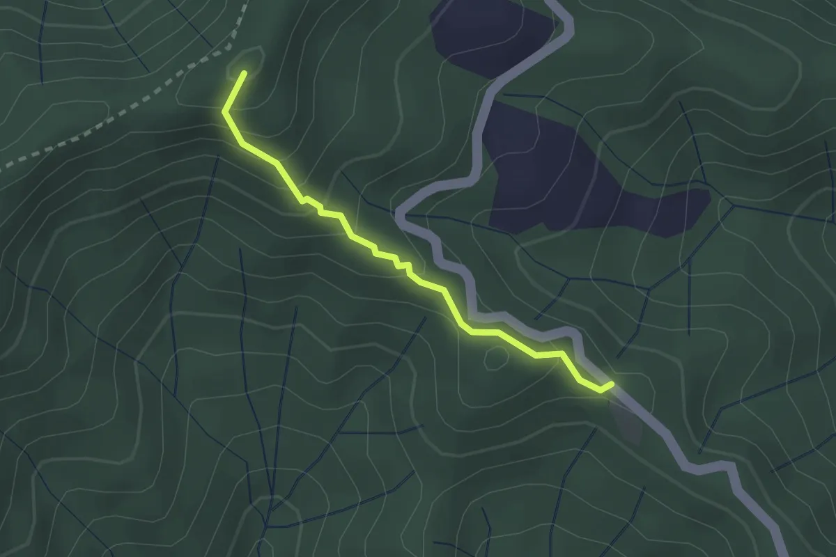
Easy · Summit
Poggio Cattarelle – Rotì
2.1 km · ↑ 178 m · 53 min
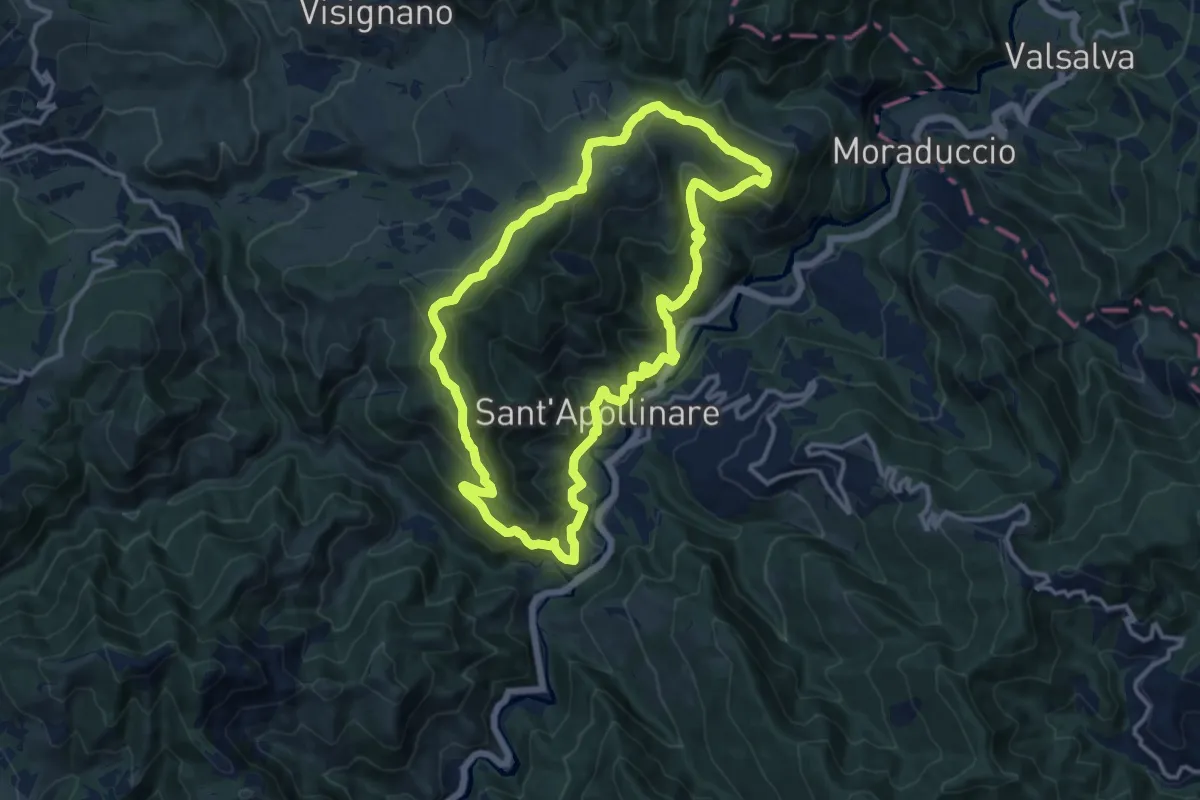
Medium · Summit
Camaggiore – Camaggiore
12.5 km · ↑ 742 m · 4 h 44 min
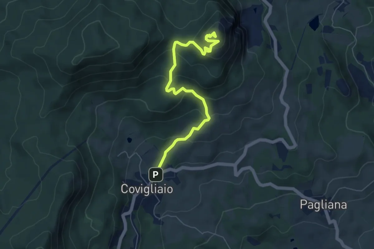
Medium · Summit
Covigliaio – Monte Beni
6.6 km · ↑ 430 m · 2 h 30 min
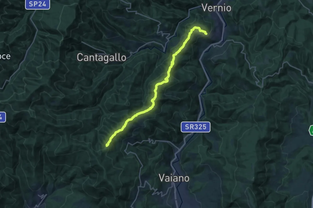
Demanding · Summit
Sant'Ippolito di Vernio – Le Cavallaie
18.4 km · ↑ 791 m · 6 h 4 min
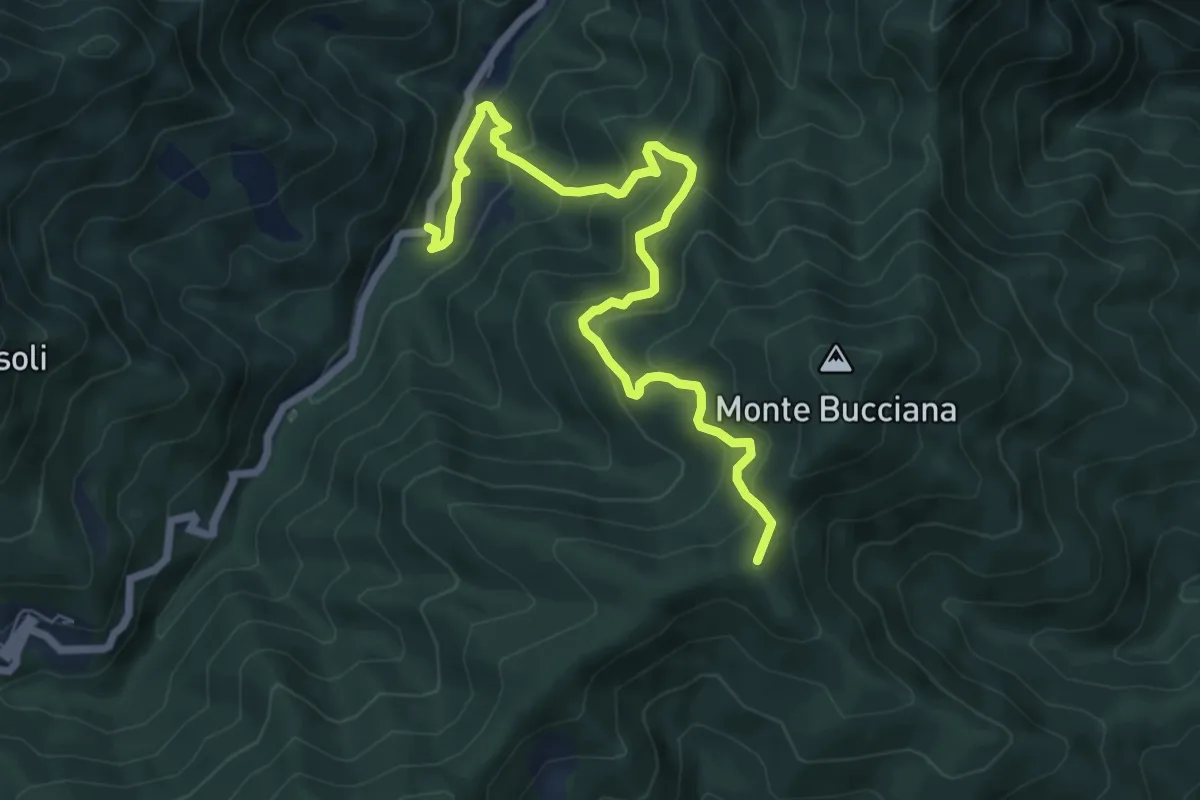
Medium · Summit
Ponticino Santo Stefano a Monachino – Foce di Cerbiancana
7.9 km · ↑ 587 m · 3 h 8 min
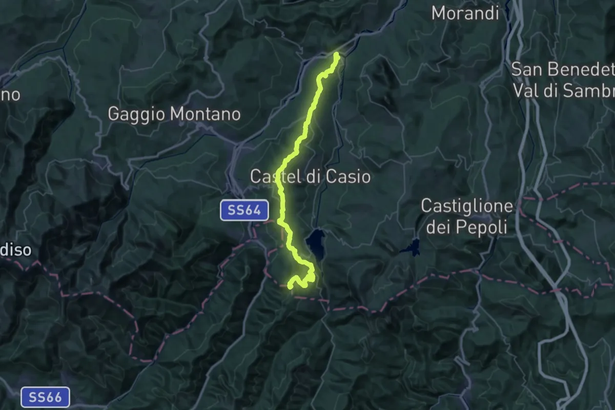
Demanding · Summit
Riola – Poggione
41.4 km · ↑ 1605 m · 13 h 15 min
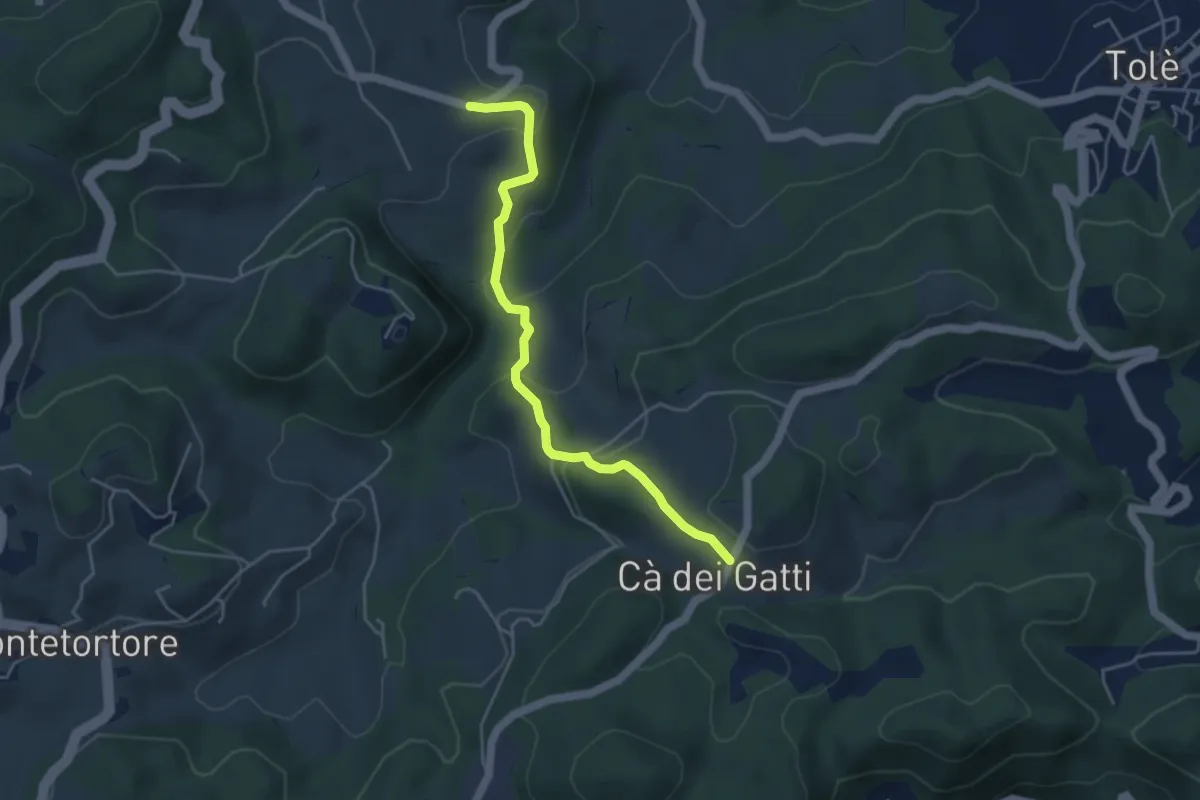
Easy · Trail
Dragodena – Vedettola
4.5 km · ↑ 198 m · 1 h 30 min
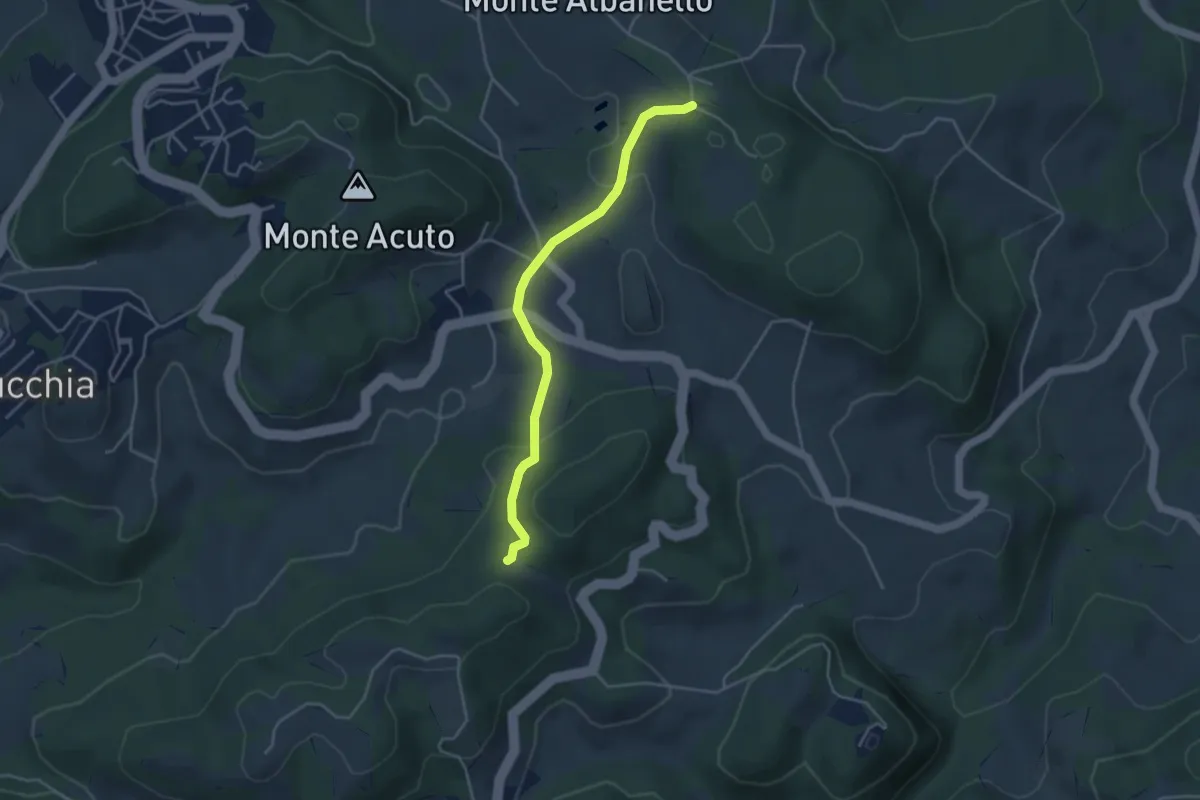
Easy · Trail
Percorso 422/2 – Percorso 422/2
4.0 km · ↑ 128 m · 1 h 14 min
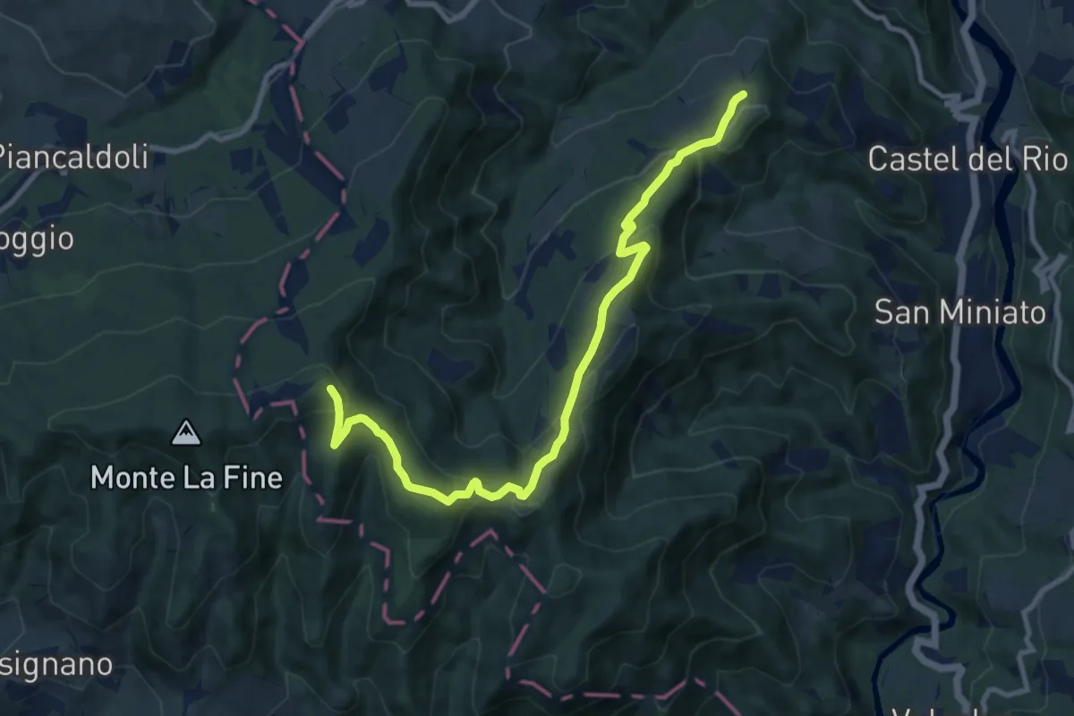
Medium · Summit
Monte la Fine – Sentiero CAI 707
11.0 km · ↑ 508 m · 3 h 41 min
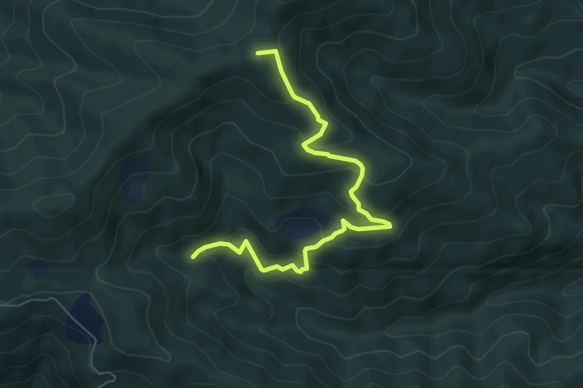
Medium · Summit
Fosso delle Barbe – Foce di Cerbiancana
6.3 km · ↑ 398 m · 2 h 21 min
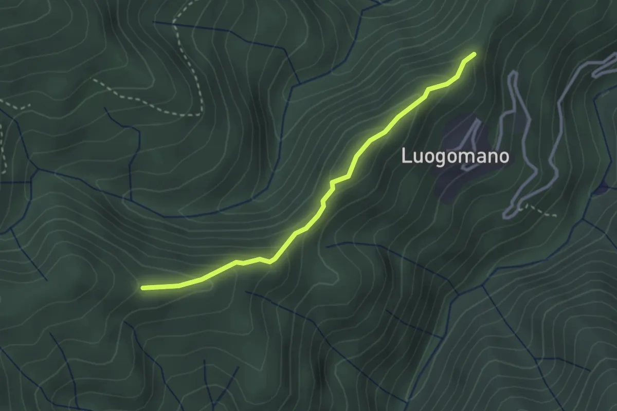
Easy · Trail
Luogomano – Il Cerro
2.9 km · ↑ 199 m · 1 h 7 min
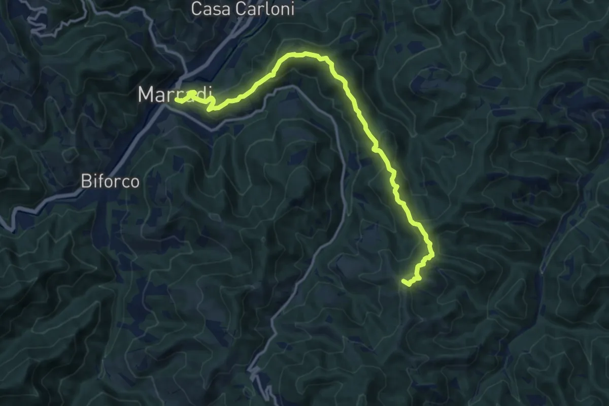
Medium · Summit
Marradi – Le Canove (P.so dell'Eremo)
13.7 km · ↑ 626 m · 4 h 35 min
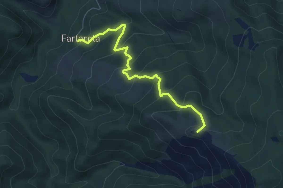
Medium · Summit
Farfareta – Sella di Monte Lavane
5.4 km · ↑ 425 m · 2 h 12 min
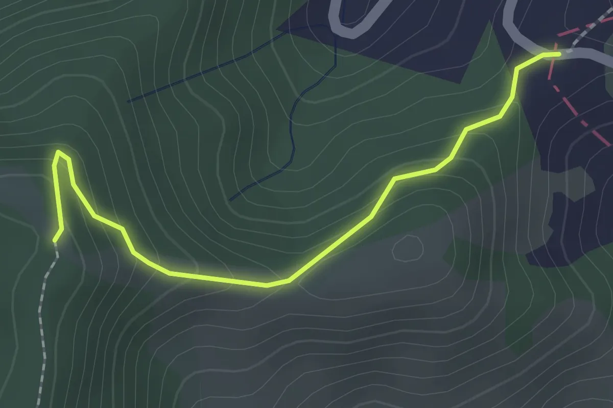
Easy · Trail
Passo della Peschiera – Sella Monte Lavane
2.1 km · ↑ 145 m · 48 min
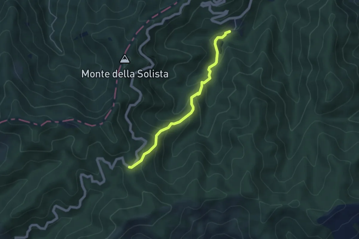
Medium · Cabin
Lago di Ponte – Passo del Tramazzo
4.3 km · ↑ 332 m · 1 h 44 min
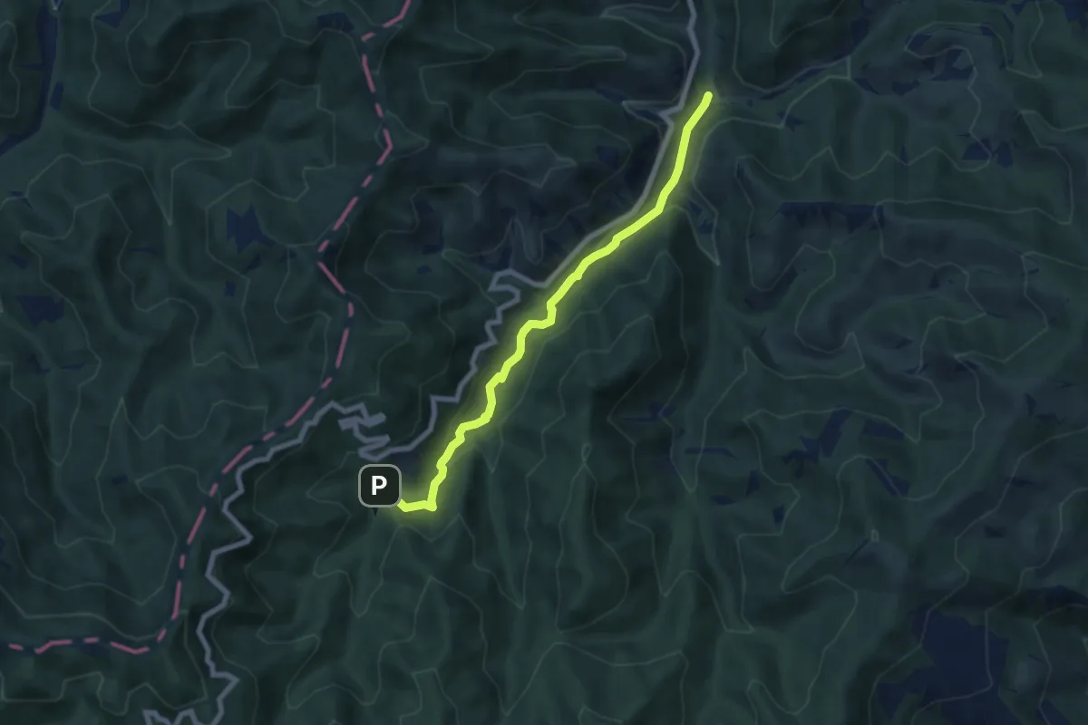
Medium · Trail
Isola – Lago di Ponte
7.0 km · ↑ 234 m · 2 h 9 min
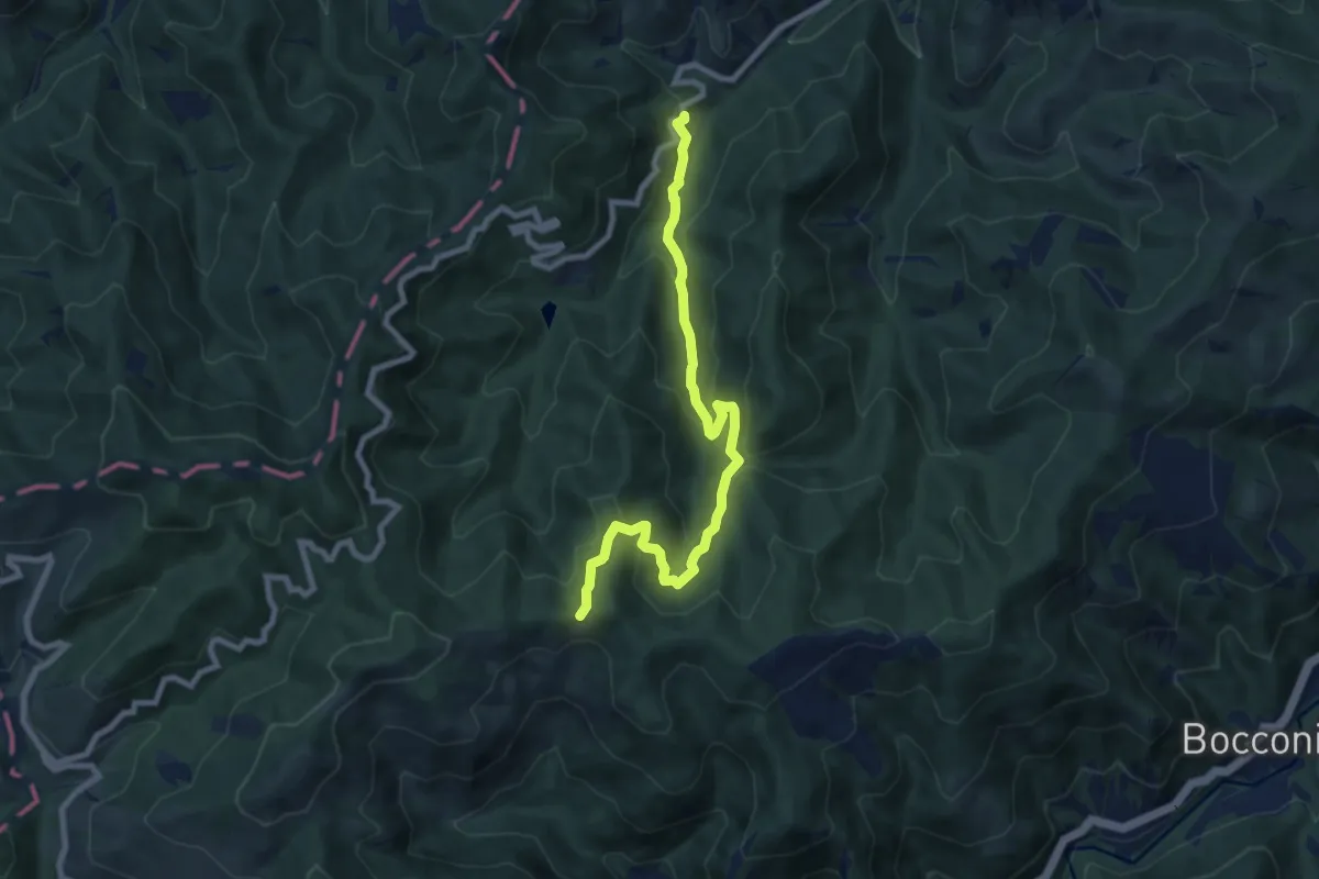
Medium · Trail
S. P. 86 – Percorso CAI 553
8.7 km · ↑ 502 m · 3 h 8 min
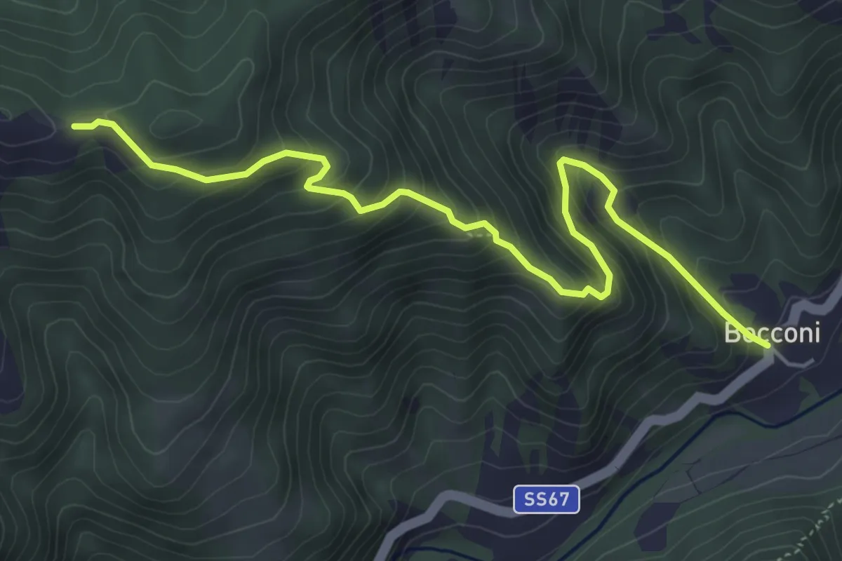
Medium · Trail
Bocconi – Percorso CAI 553
5.8 km · ↑ 521 m · 2 h 31 min
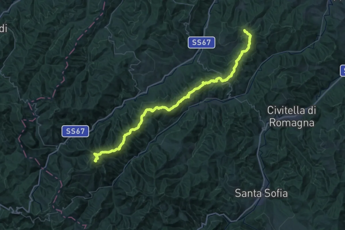
Demanding · Summit
Monte Colombo – Colle di Cento Forche - Poggio degli Orticai
46.9 km · ↑ 2484 m · 16 h 27 min
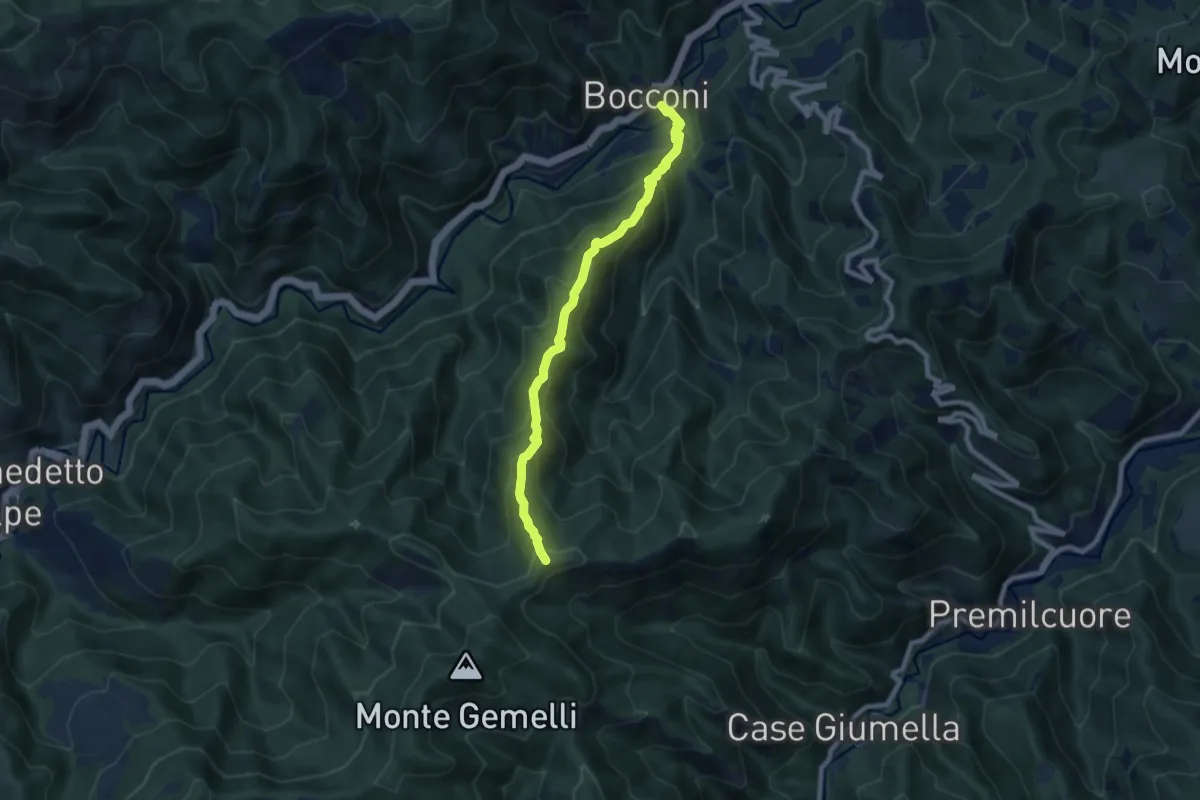
Medium · Summit
Bocconi – Sentiero 401 (Monte Mandria)
8.1 km · ↑ 708 m · 3 h 27 min
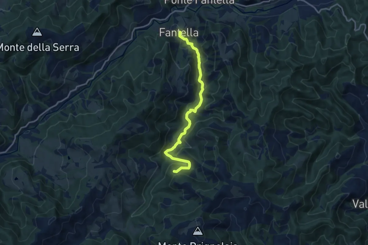
Medium · Trail
Fantella – Campastrone
10.3 km · ↑ 434 m · 3 h 22 min
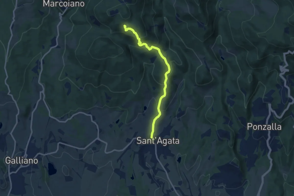
Medium · Trail
Sant'Agata – Sentiero 46
8.0 km · ↑ 488 m · 2 h 56 min
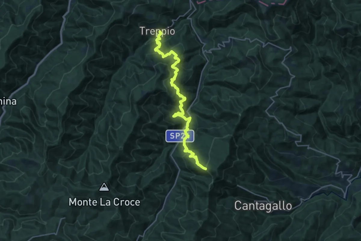
Demanding · Cabin
Treppio – Rifugio Pacini
19.4 km · ↑ 1485 m · 7 h 48 min
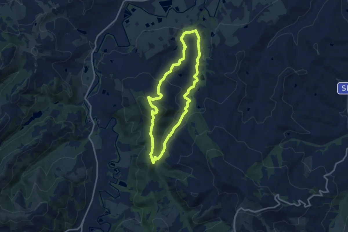
Medium · Summit
San Giorgio in Ceparano – San Giorgio in Ceparano
8.3 km · ↑ 288 m · 2 h 41 min
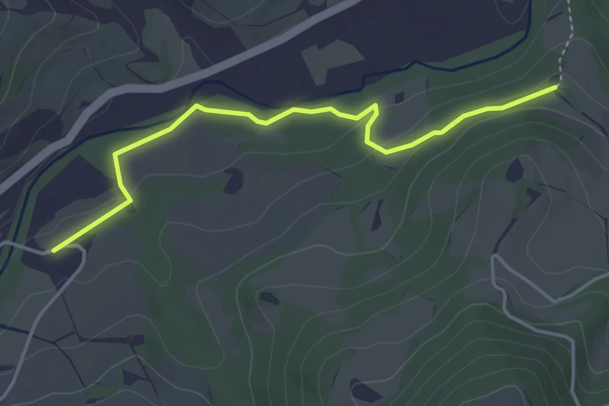
Easy · Trail
Marzolo – Motte
3.9 km · ↑ 61 m · 1 h 3 min
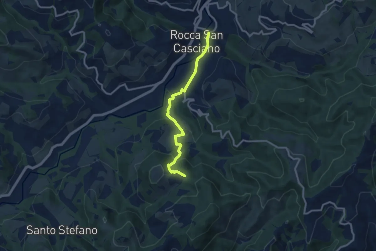
Medium · Trail
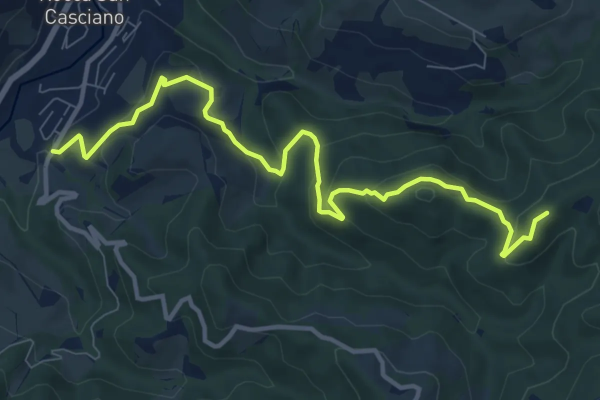
Rocca San Casciano – San Donnino
7.1 km · ↑ 320 m · 2 h 22 min
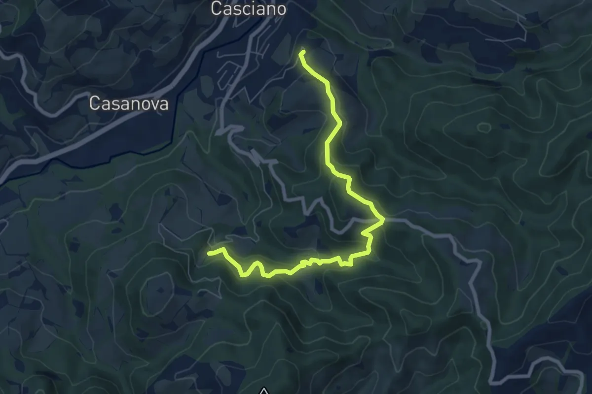
Medium · Trail
Capanne – Laguna - Sassello - Monte
9.4 km · ↑ 430 m · 3 h 8 min
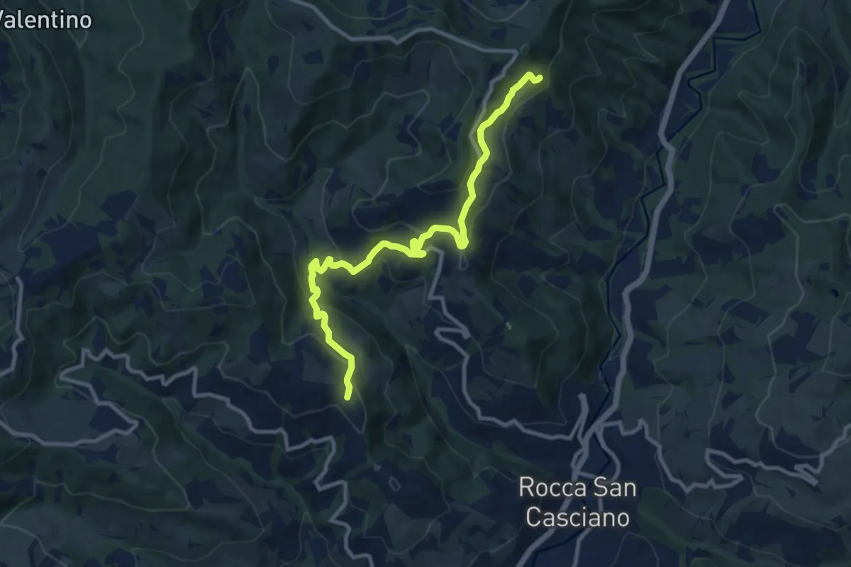
Medium · Trail
Laguna – Cutizzano
7.6 km · ↑ 497 m · 2 h 52 min
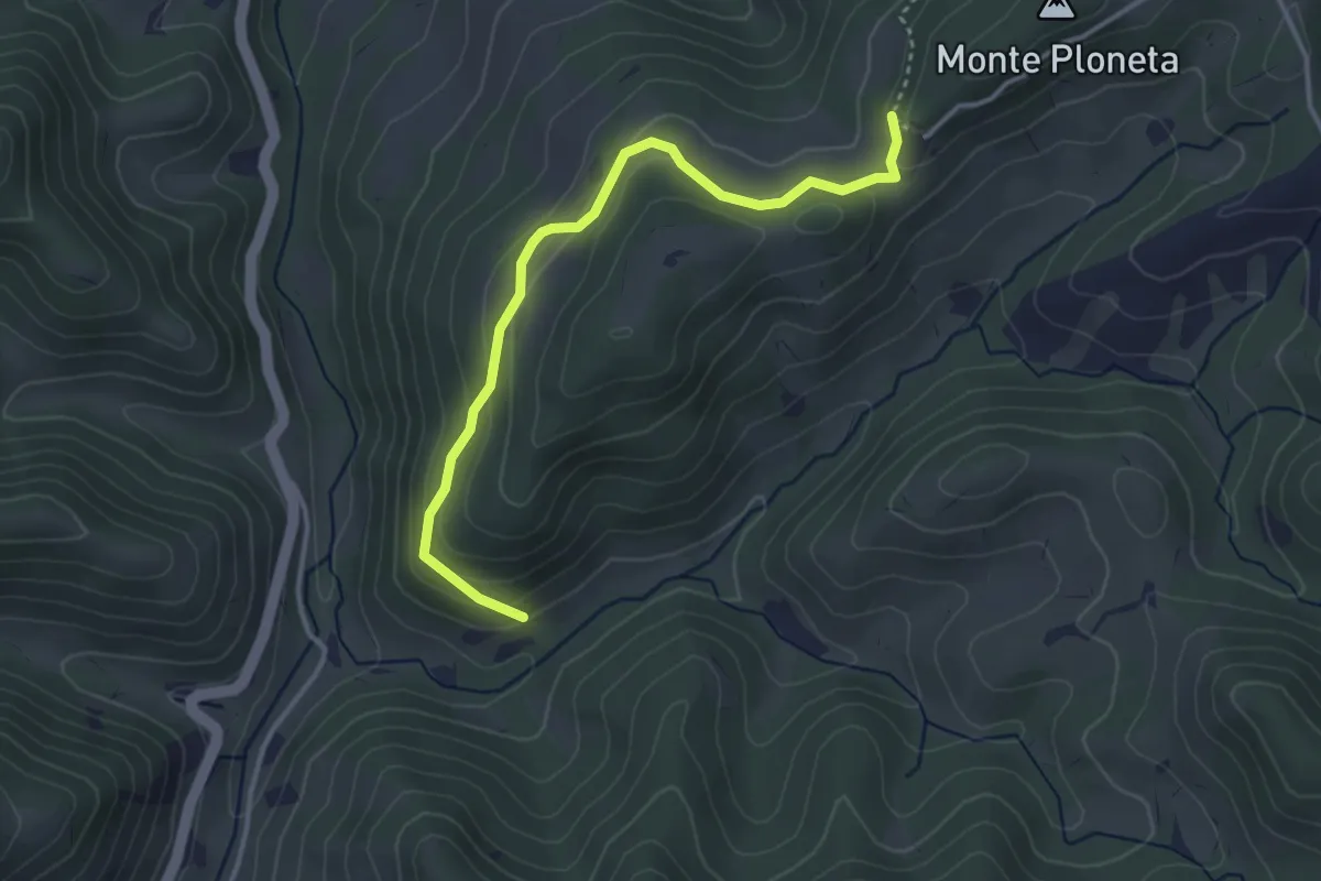
Medium · Trail
Ribidignano – Casone - Sentiero 431
10.7 km · ↑ 517 m · 3 h 39 min
Easy · Trail
Percorso CAI 567 – Percorso CAI 569 (I Monti)
3.8 km · ↑ 166 m · 1 h 15 min
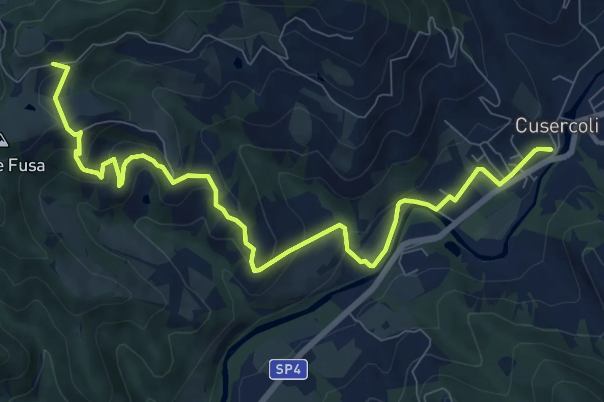
Medium · Trail
Cusercoli – Sentiero 301
9.6 km · ↑ 417 m · 3 h 11 min
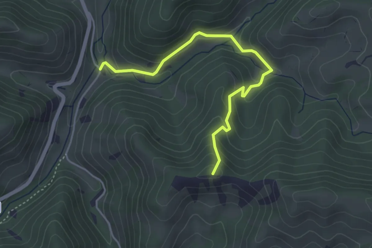
Easy · Summit
Isola – Percorso CAI 553 (Villaggio Monte Freddo)
4.3 km · ↑ 289 m · 1 h 38 min
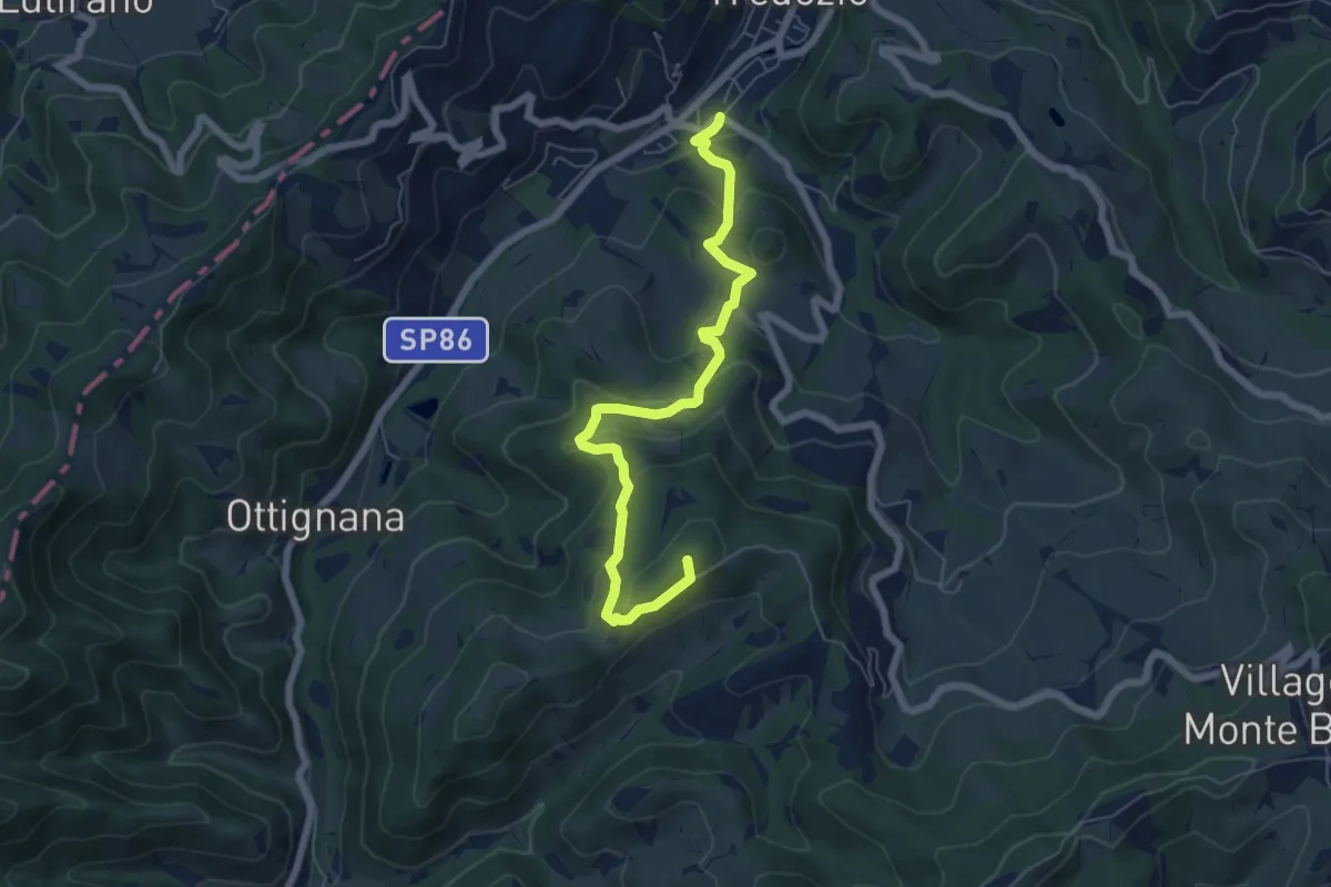
Medium · Summit
Tredozio – Percorso CAI 553 (Villaggio Monte Freddo)
6.9 km · ↑ 354 m · 2 h 24 min
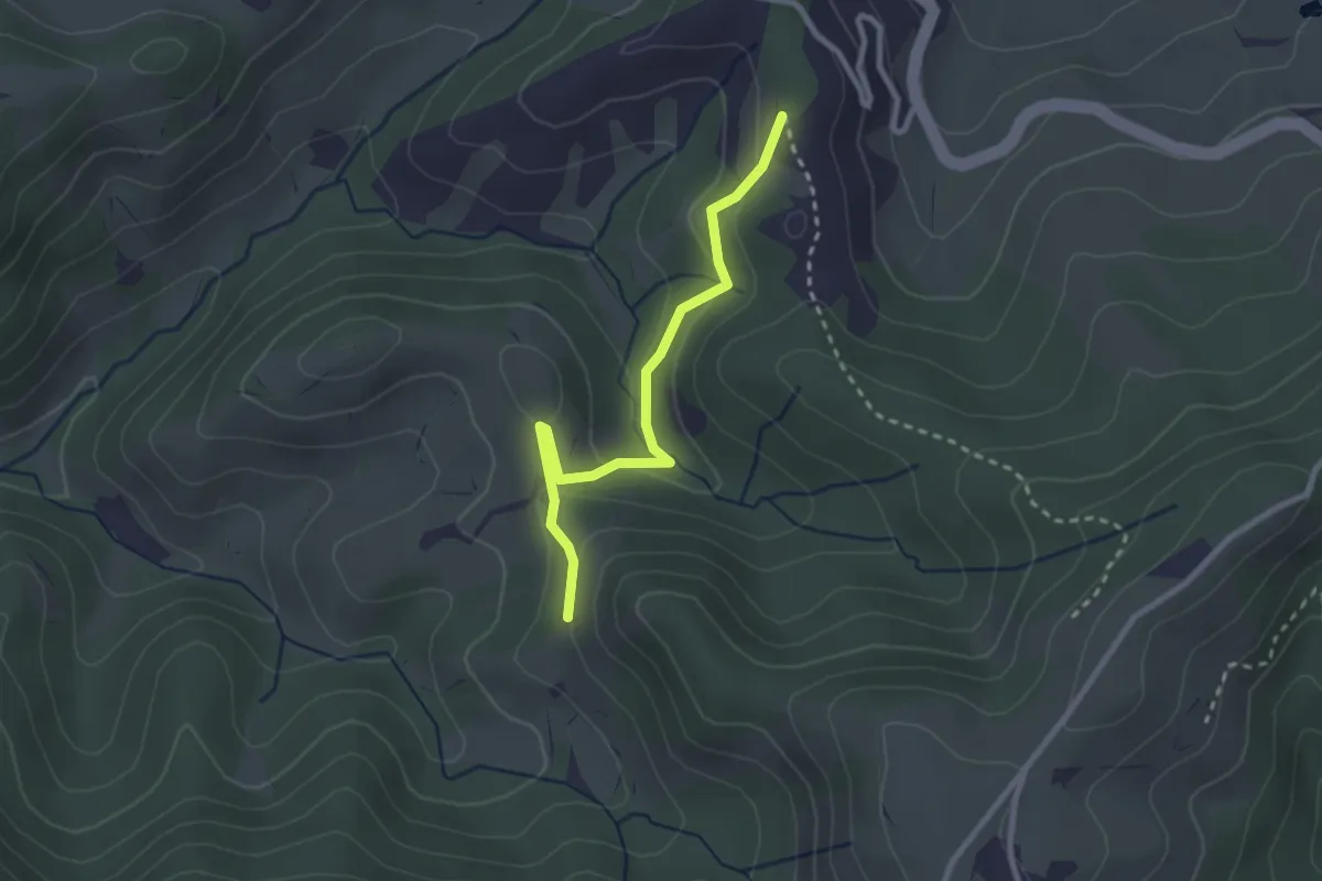
Easy · Trail
Percorso CAI 569 – Percorso CAI 567 (Borgomana)
2.7 km · ↑ 111 m · 52 min
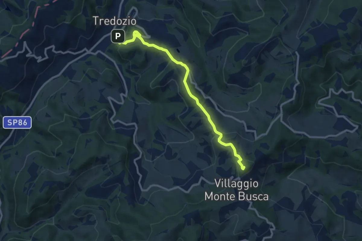
Medium · Summit
Tredozio – Percorso 553 (Monte Sacco)
8.3 km · ↑ 423 m · 2 h 53 min
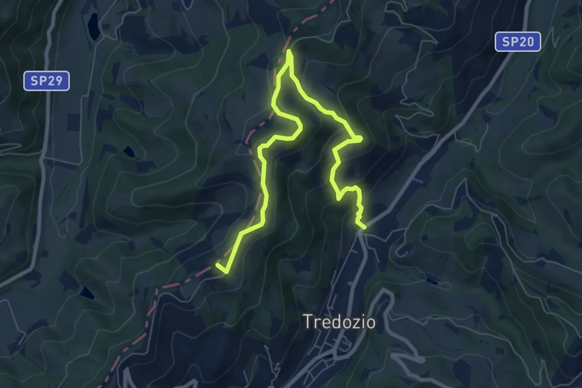
Medium · Summit
Tredozio – S. P. 20 (Il Convento)
8.1 km · ↑ 392 m · 2 h 46 min
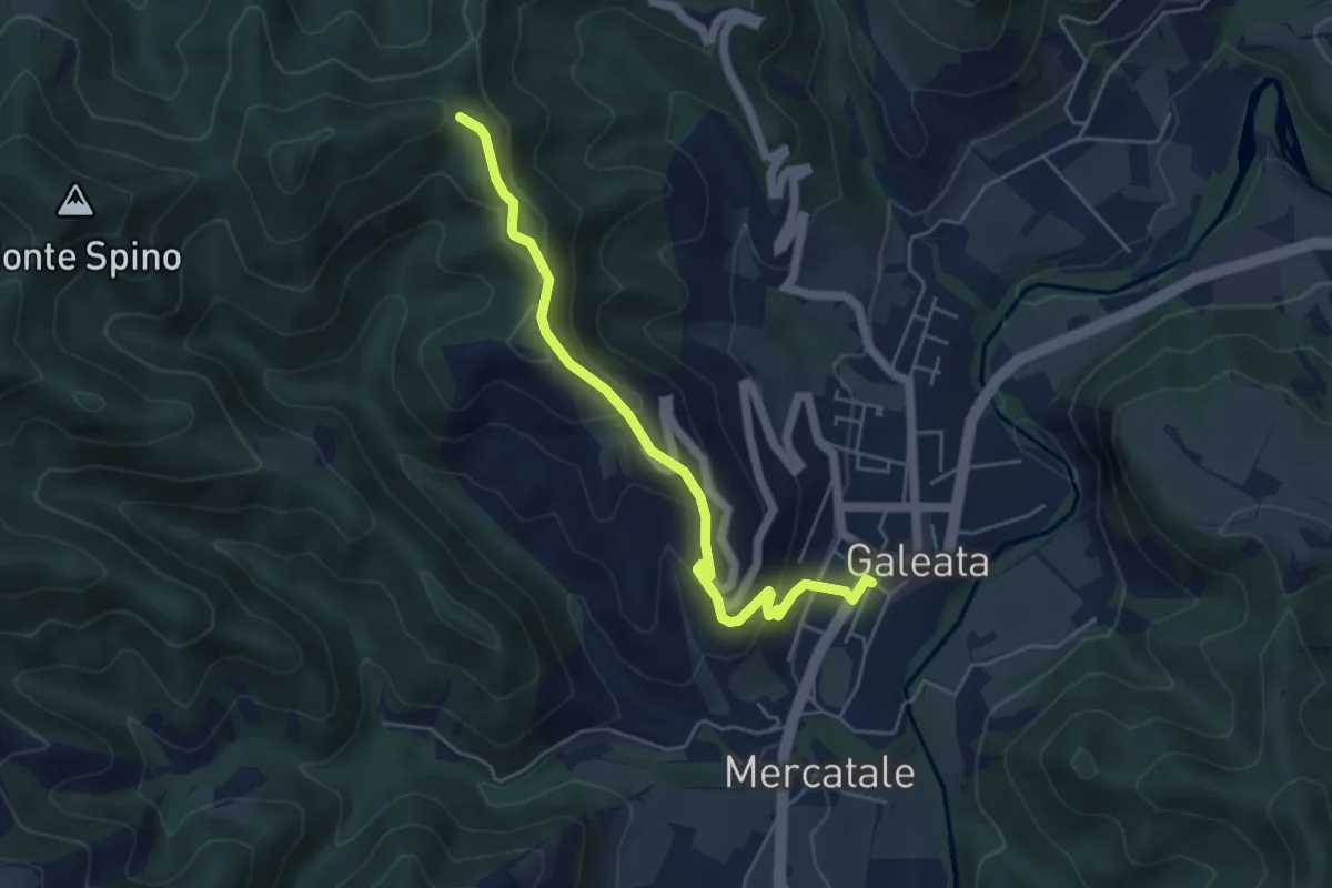
Easy · Trail
Galeata – Sentiero 301
5.3 km · ↑ 316 m · 1 h 56 min
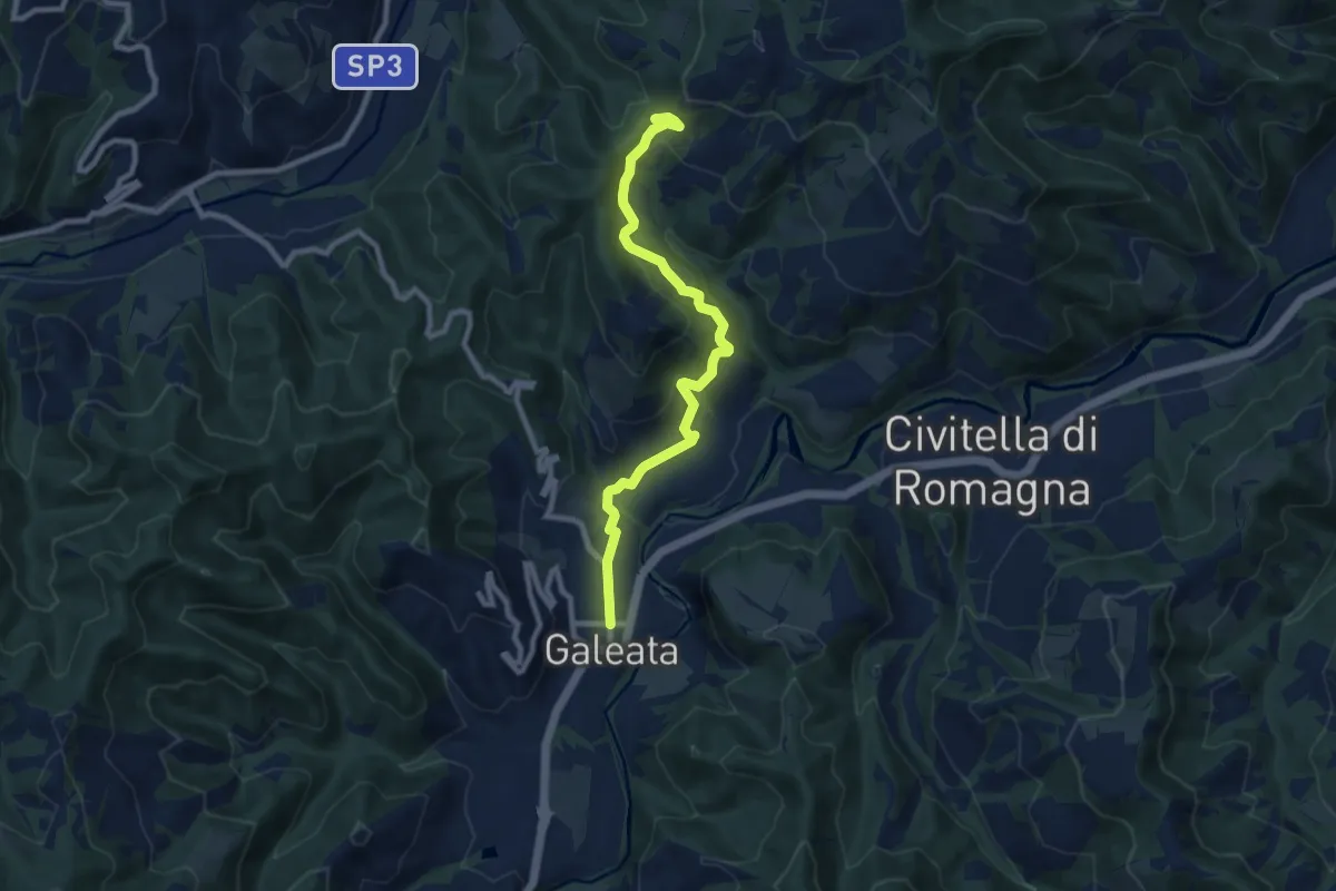
Medium · Trail
Galeata – Sentiero 301
9.1 km · ↑ 421 m · 3 h 4 min