Trails in Italy
25,219 hiking trails, each with its route, climb, walking time and grade.
All trails, page 332 of 526
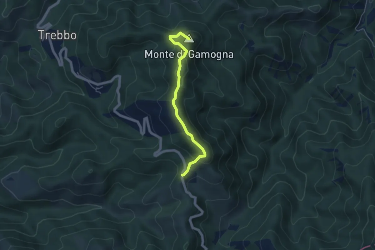
Medium · Summit
Le Canove (P.so dell'Eremo) – Gamogna
4.2 km · ↑ 235 m · 1 h 30 min
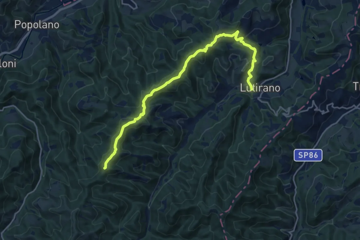
Medium · Summit
Lutirano – Percorso CAI 521
15.0 km · ↑ 669 m · 5 h
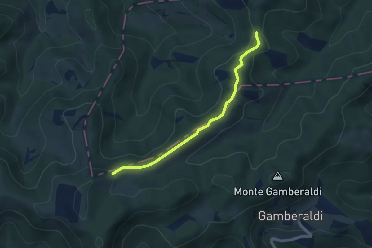
Medium · Trail
Percorso CAI 645 – Percorso CAI 619
3.6 km · ↑ 116 m · 1 h 6 min
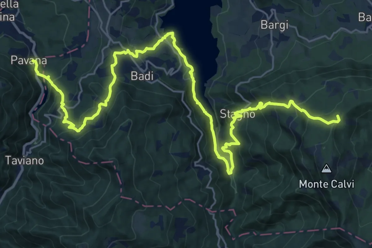
Demanding · Summit
Molino del Pallone – Lago del Brasimone - Diga Scalere
26.8 km · ↑ 1545 m · 9 h 41 min
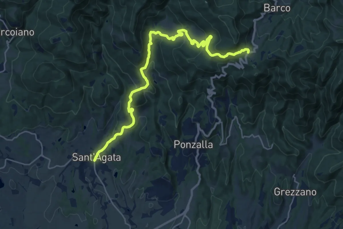
Demanding · Trail
Sant'Agata – Passo del Giogo
19.6 km · ↑ 730 m · 6 h 13 min
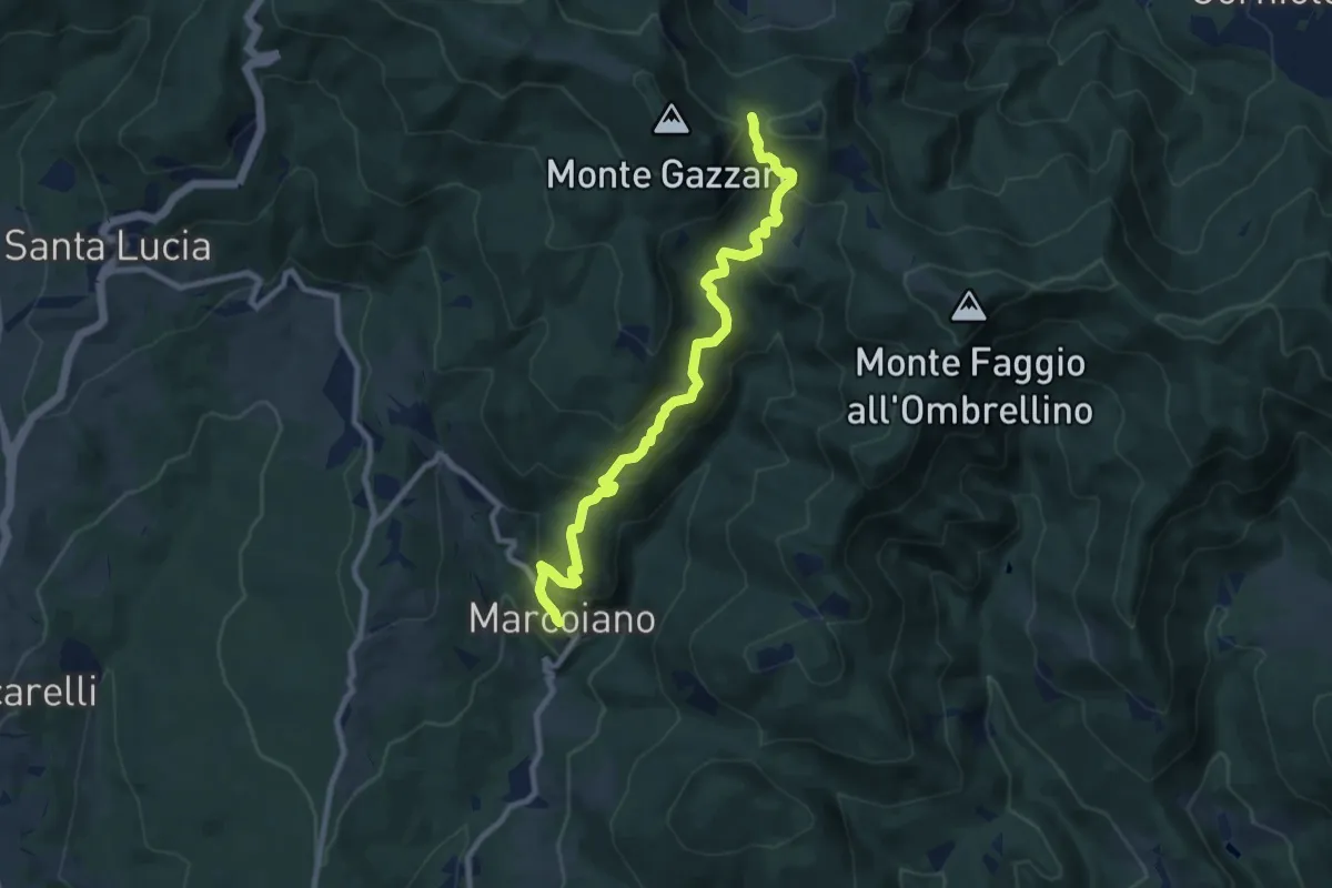
Medium · Trail
Marcoiano – Innesto 00
9.6 km · ↑ 556 m · 3 h 28 min
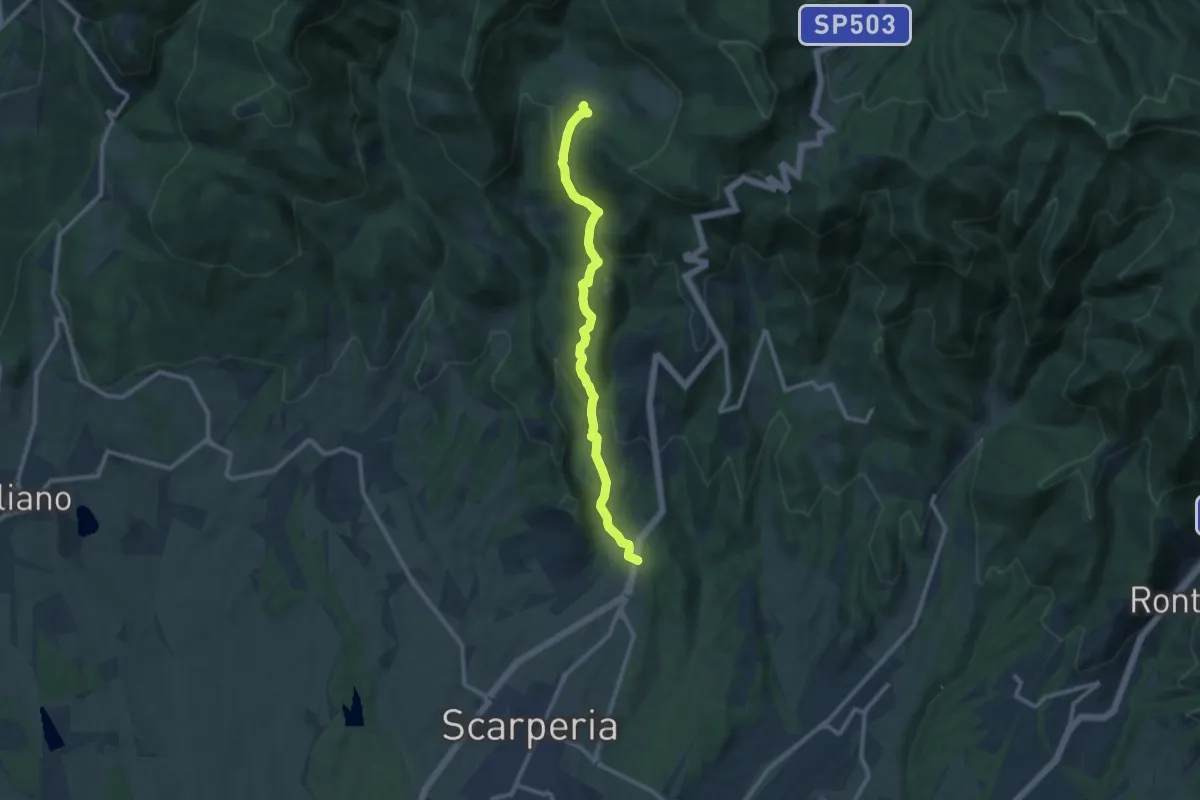
Medium · Trail
Montagnana – Cavallico
10.6 km · ↑ 443 m · 3 h 28 min
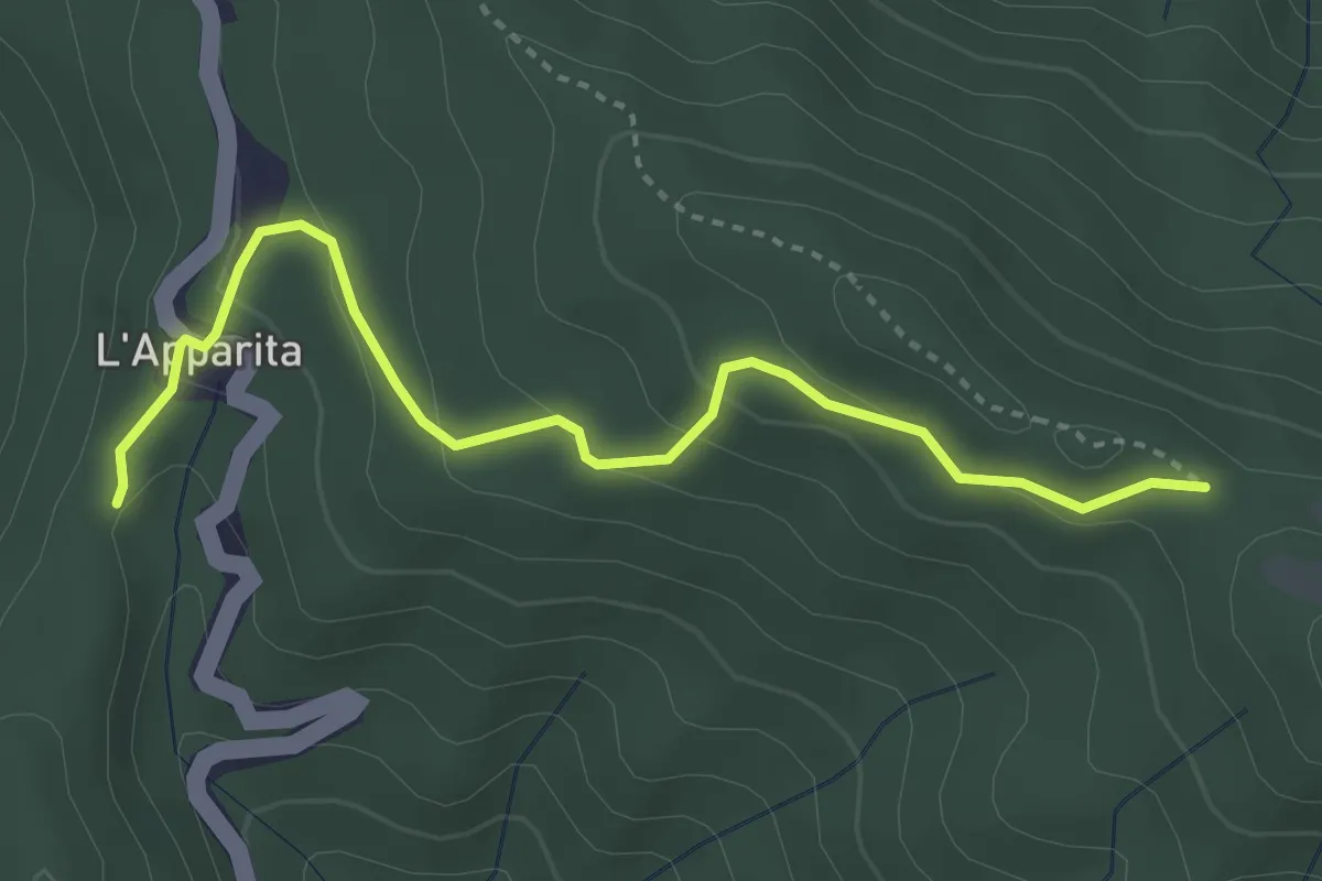
Easy · Trail
Sentiero 352 – Sentiero 00
3.8 km · ↑ 166 m · 1 h 15 min
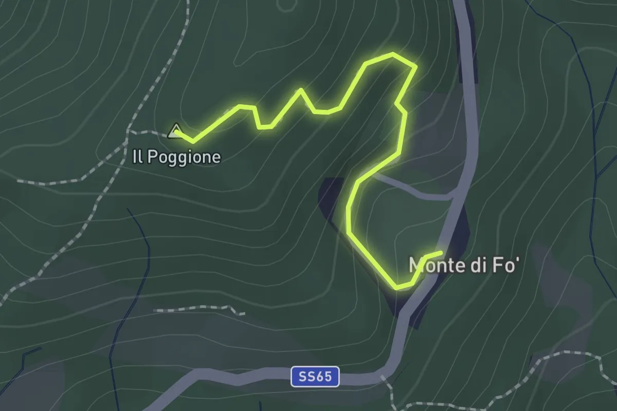
Easy · Summit
Monte di Fo' – Sentiero 52
2.0 km · ↑ 127 m · 44 min
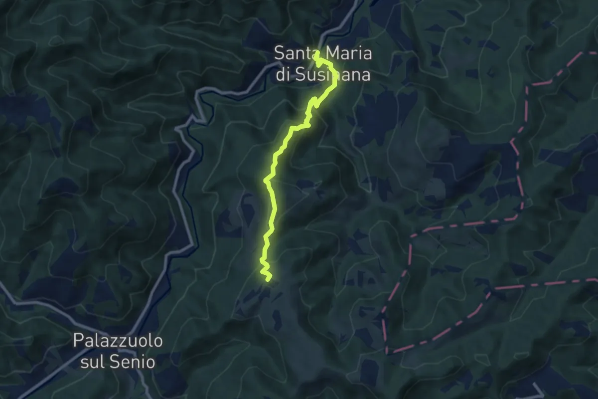
Medium · Summit
Badia di Susinana – Bacero
7.3 km · ↑ 506 m · 2 h 49 min
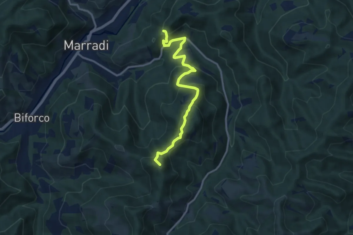
Medium · Summit
Marradi – Percorso CAI 521
7.9 km · ↑ 629 m · 3 h 14 min
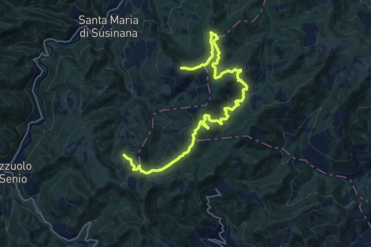
Medium · Trail
Fontana Moneta – Fontana Moneta
8.9 km · ↑ 410 m · 3 h 5 min
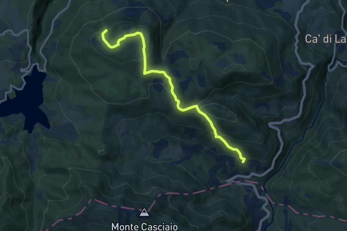
Medium · Trail
Percorso 003 – Rasora
8.6 km · ↑ 468 m · 3 h 3 min
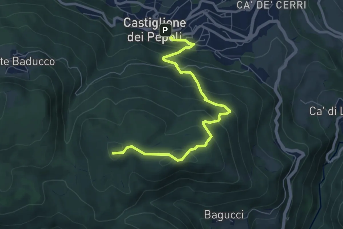
Medium · Summit
Castiglione dei Pepoli – Percorso 003
7.0 km · ↑ 452 m · 2 h 38 min
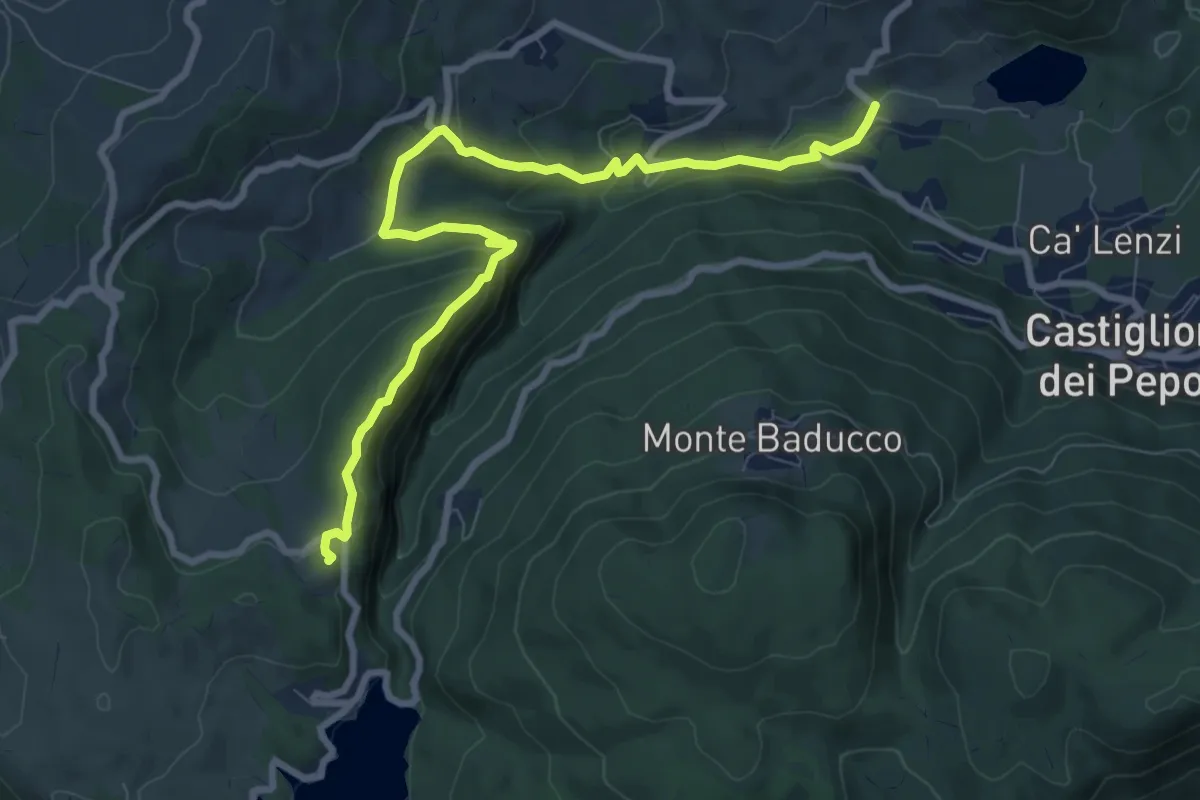
Medium · Summit
Bivio 155 – Bivio 031
9.8 km · ↑ 419 m · 3 h 14 min
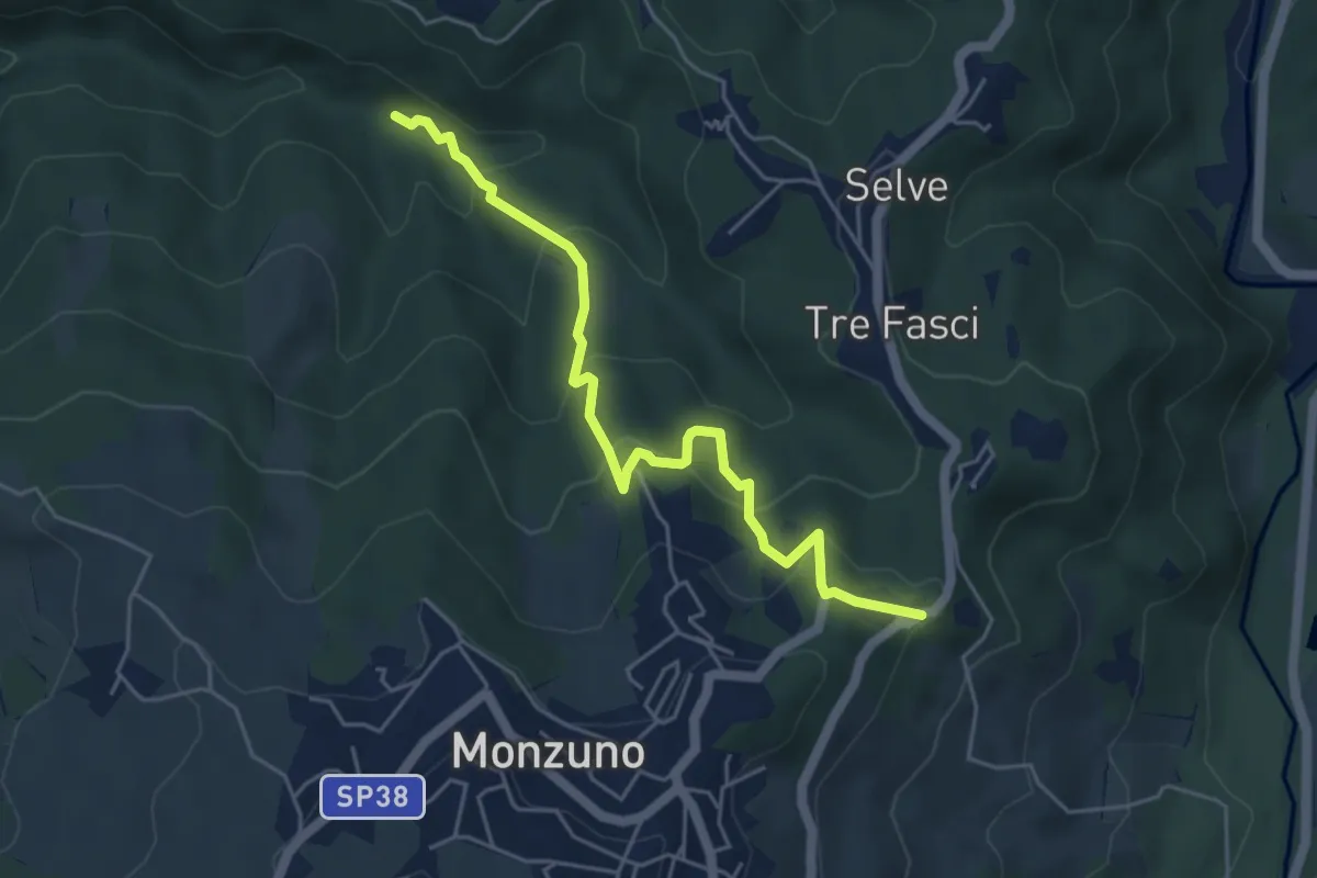
Medium · Trail
Madonna di Melli – Ospitale
5.3 km · ↑ 360 m · 2 h 2 min
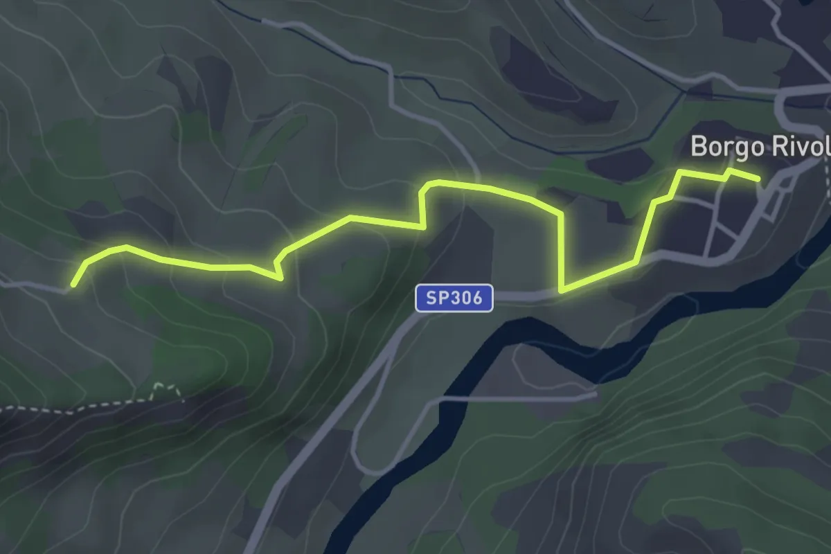
Easy · Trail
Sentiero CAI 705 – Borgo Rivola
4.0 km · ↑ 167 m · 1 h 18 min
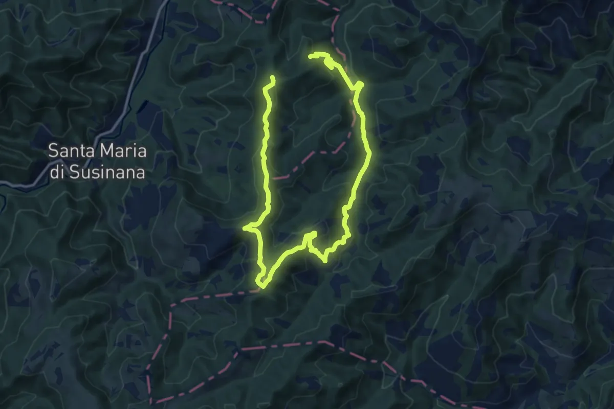
Medium · Summit
Fontana Moneta – Fontana Moneta
8.8 km · ↑ 390 m · 3 h 2 min
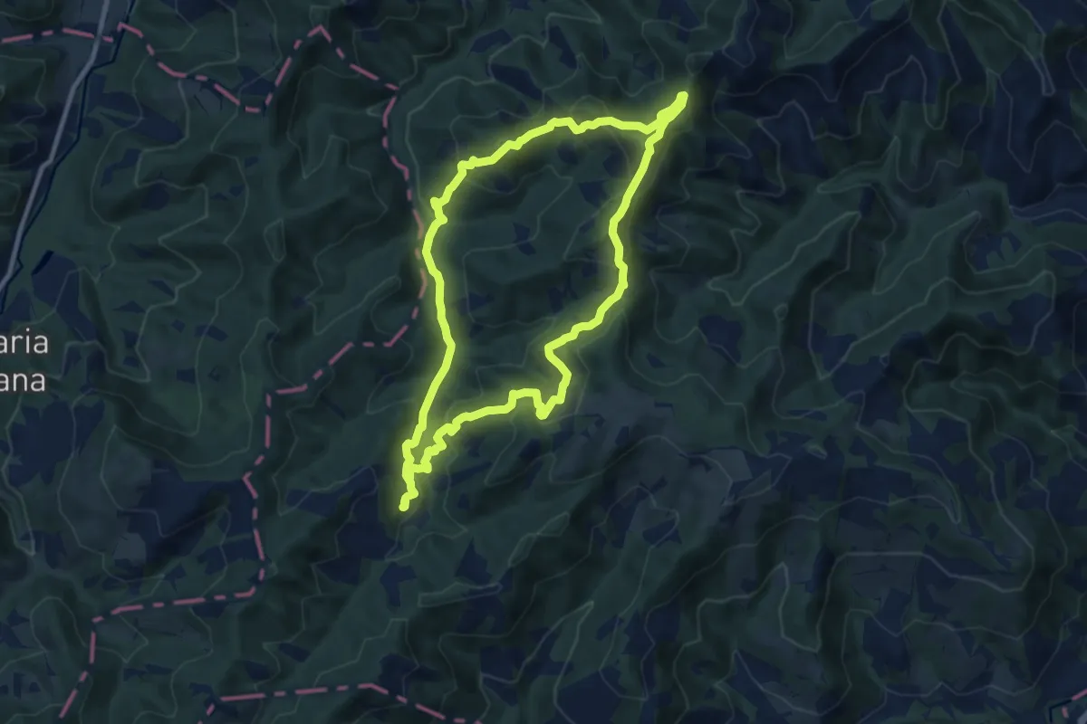
Medium · Summit
Fontana Moneta – Fontana Moneta
9.8 km · ↑ 566 m · 3 h 40 min
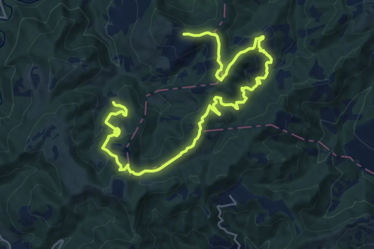
Medium · Summit
Fontana Moneta – Fontana Moneta
9.8 km · ↑ 554 m · 3 h 34 min
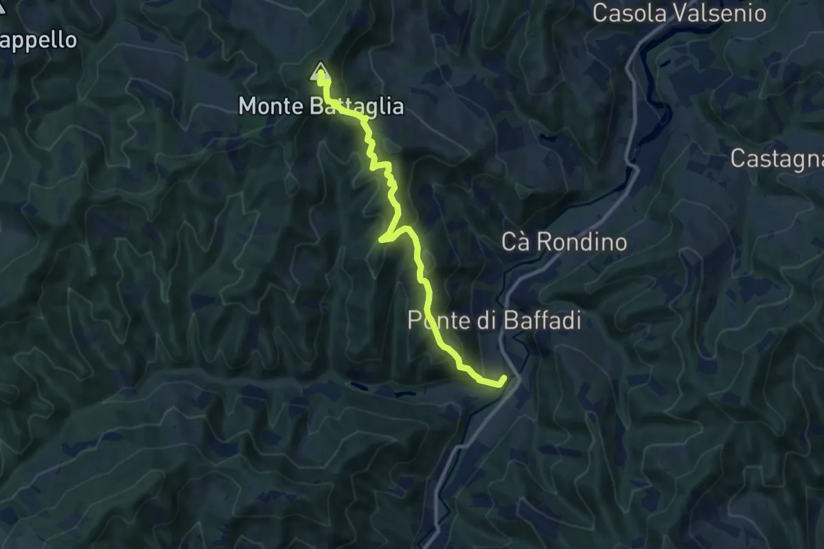
Medium · Summit
Baffadi – Monte Battaglia
9.6 km · ↑ 649 m · 3 h 40 min
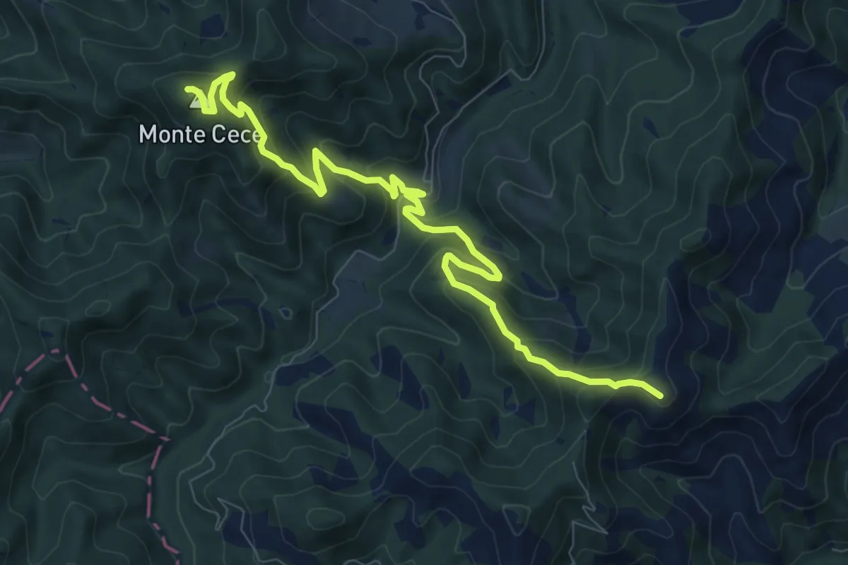
Medium · Summit
Rivacciola – Cà di Malanca
10.2 km · ↑ 775 m · 4 h 5 min
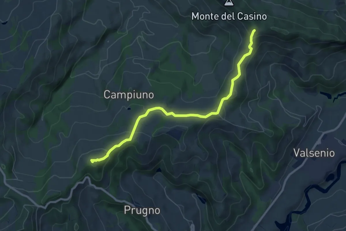
Easy · Summit
Ca' Budrio – Passo del Prugno
7.5 km · ↑ 287 m · 2 h 24 min
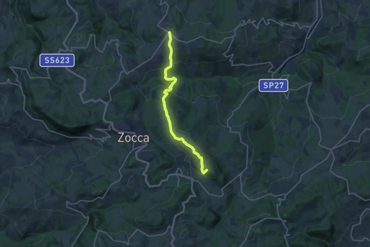
Medium · Summit
Monteombraro – Montalto Nuovo
12.6 km · ↑ 596 m · 4 h 16 min
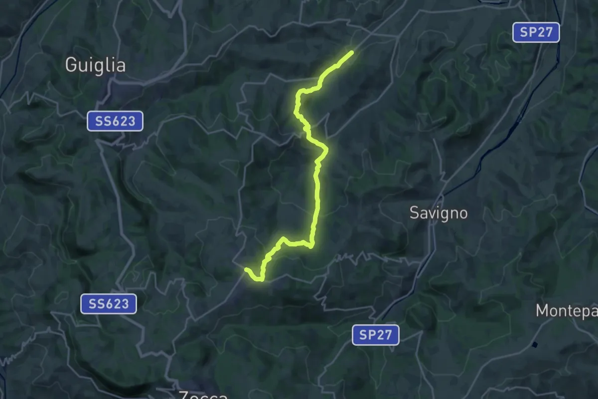
Demanding · Trail
Mulino di Fanano – Monteombraro
19.8 km · ↑ 777 m · 6 h 21 min
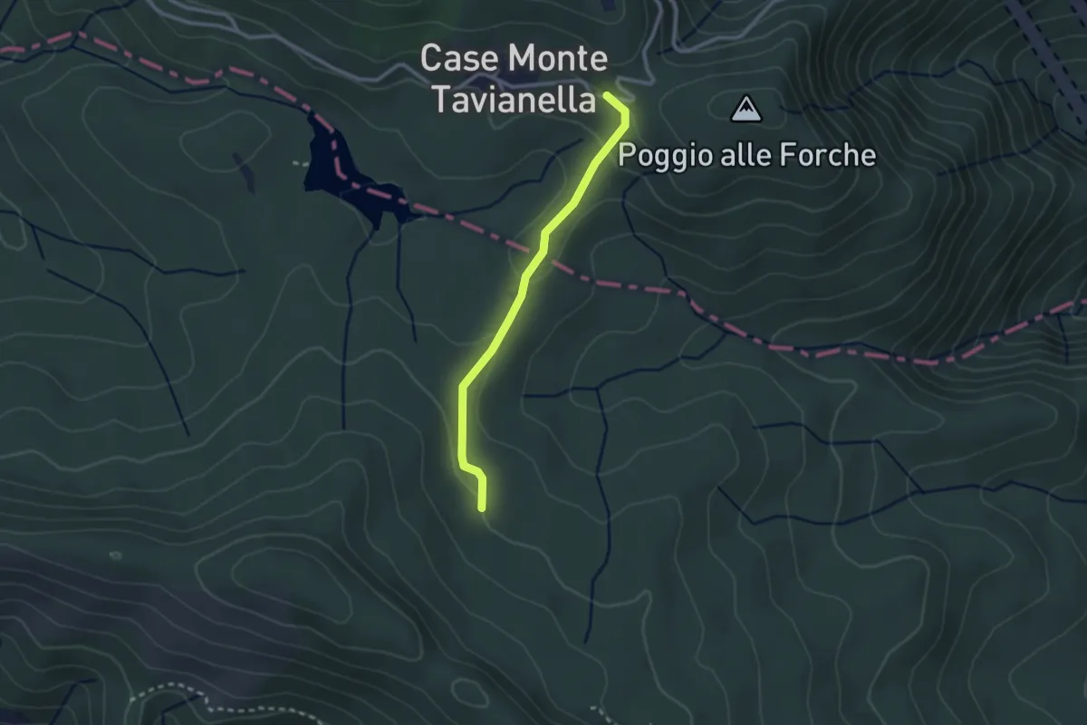
Easy · Trail
Quattro strade – Case Monte Tavianella
2.4 km · ↑ 75 m · 44 min
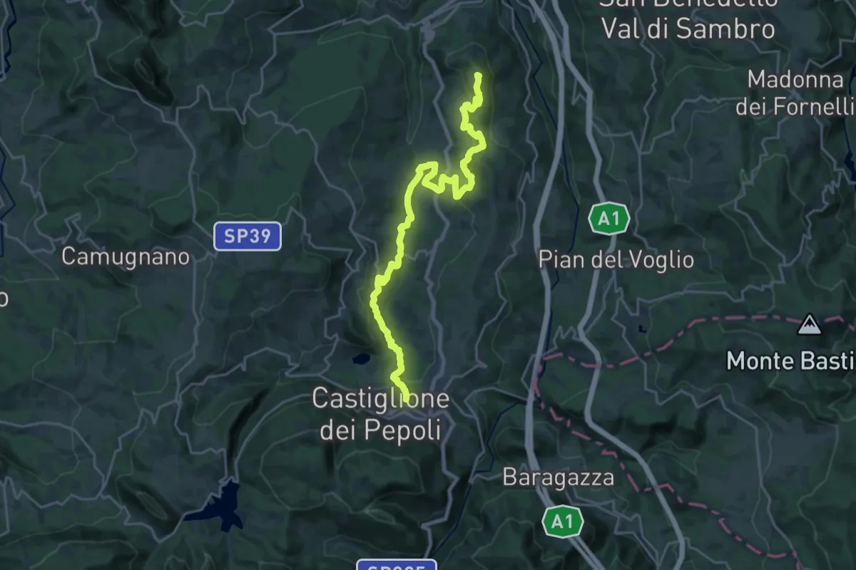
Demanding · Summit
Lagaro – Castiglione dei Pepoli
24.5 km · ↑ 869 m · 7 h 39 min
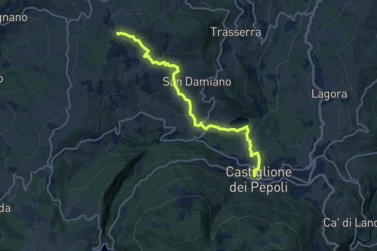
Medium · Trail
Ca' Terre Rosse – Castiglione dei Pepoli
11.3 km · ↑ 563 m · 3 h 54 min
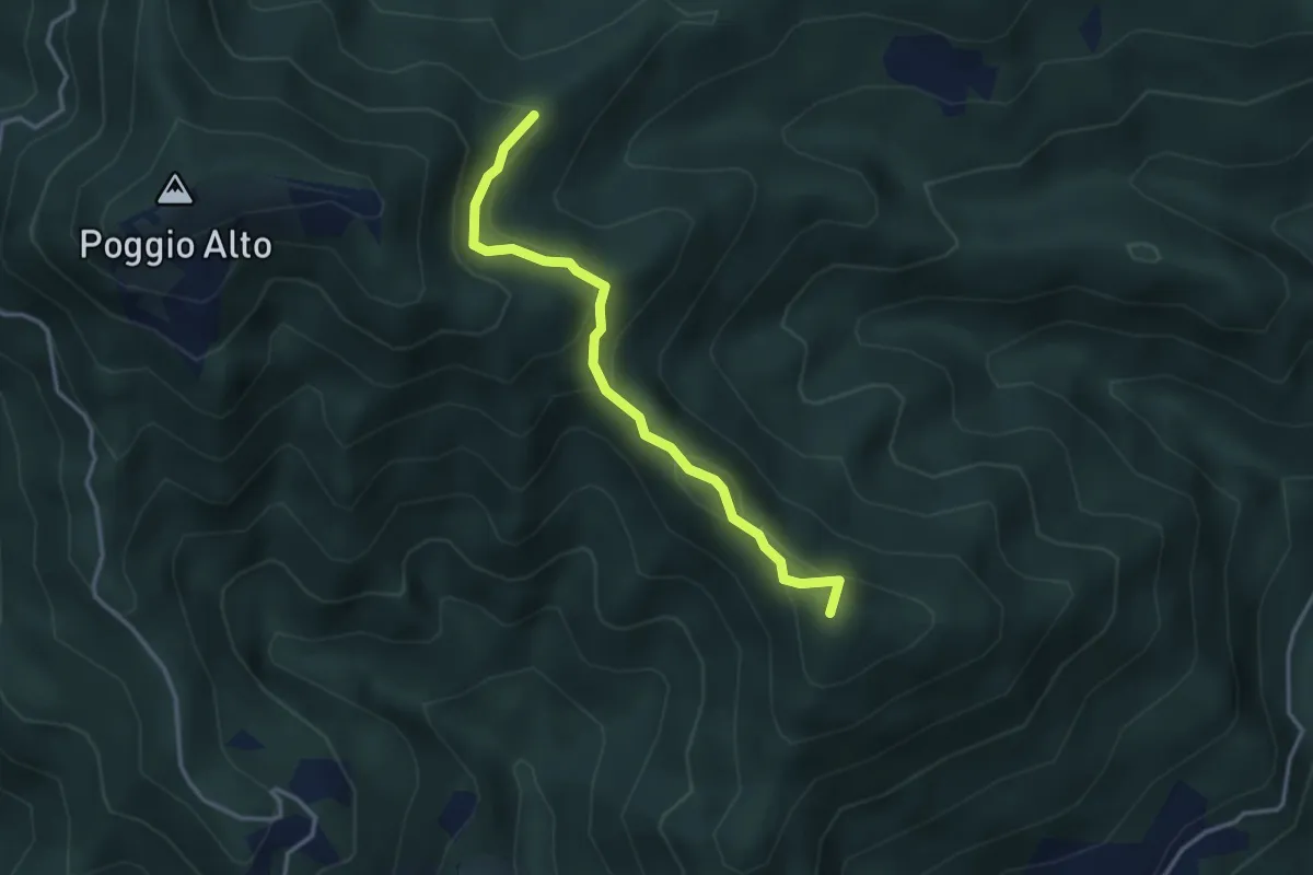
Easy · Summit
Sasseta – Percorso 00
3.4 km · ↑ 149 m · 1 h 8 min
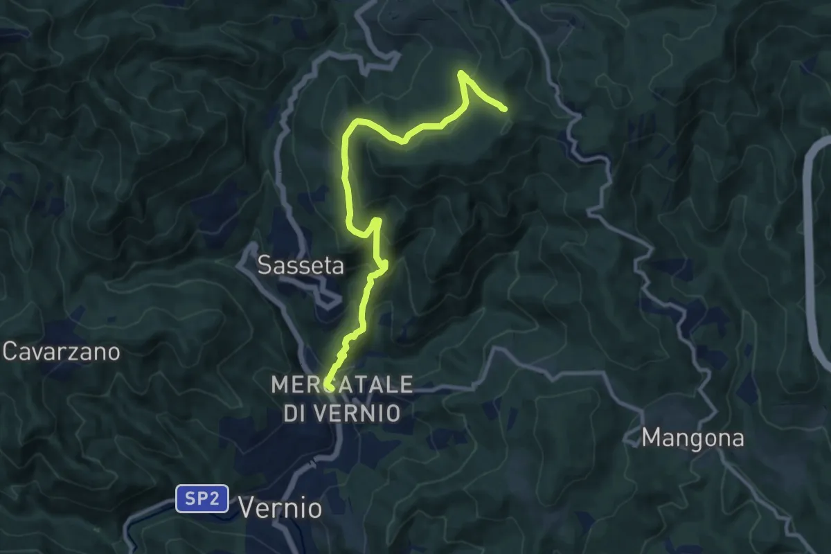
Medium · Trail
San Quirico di Vernio – Poggio di Mezzana
10.4 km · ↑ 654 m · 3 h 52 min
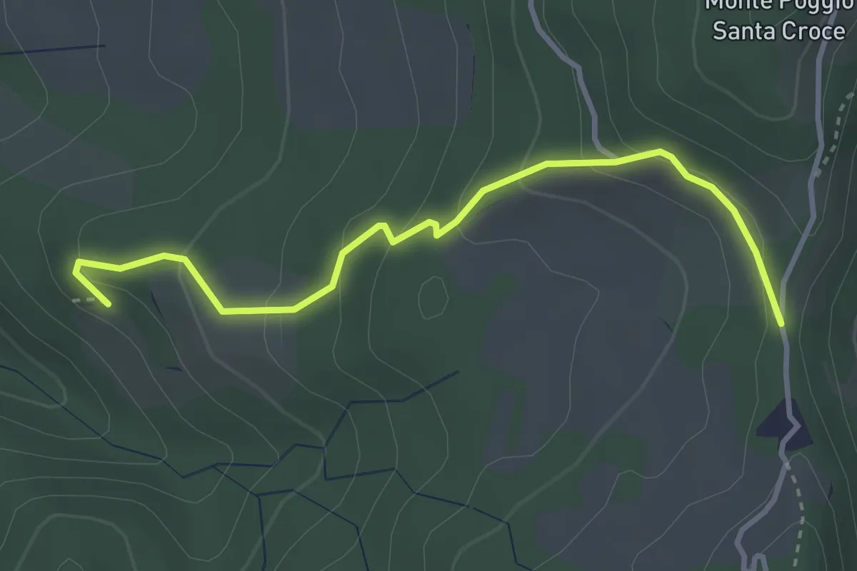
Easy · Trail
Artenola – Le Croci
3.6 km · ↑ 190 m · 1 h 15 min
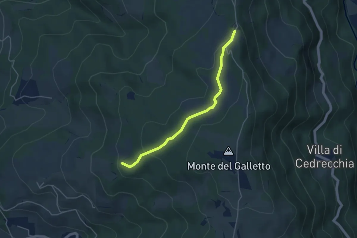
Easy · Trail
Percorso 059 – Le Croci
3.8 km · ↑ 97 m · 1 h 7 min
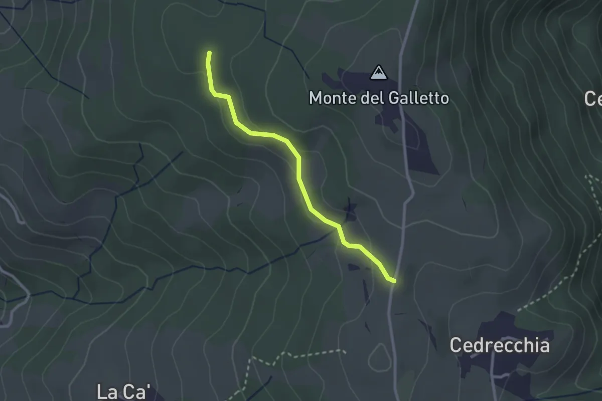
Easy · Trail
Ca' Lumini – Percorso 059B
2.4 km · ↑ 74 m · 43 min
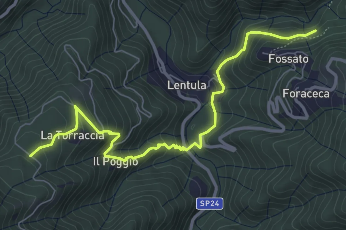
Medium · Trail
Pianacci – Fossato
7.0 km · ↑ 501 m · 2 h 44 min
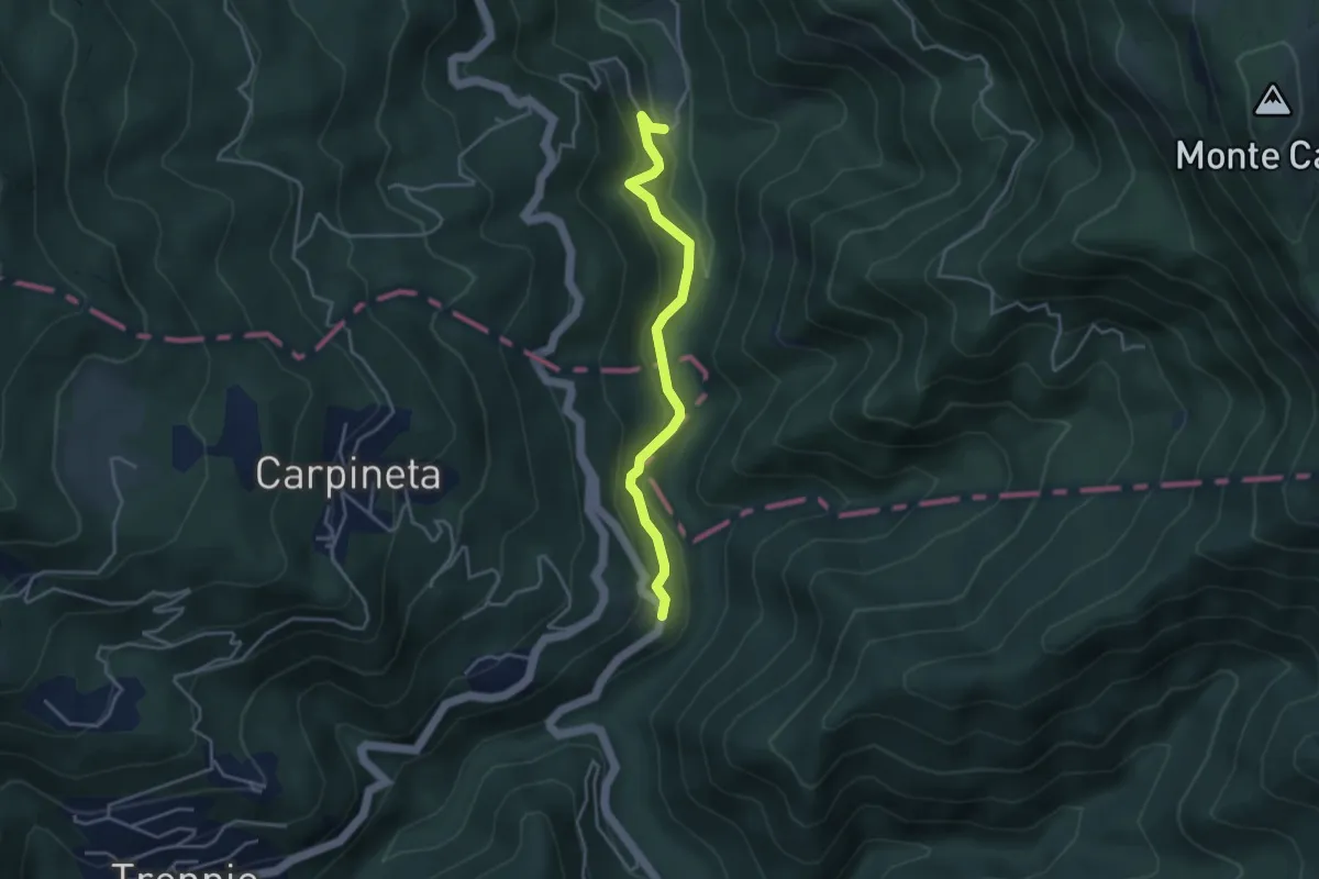
Easy · Trail
La Torraccia – Mulin dei Sassi
3.8 km · ↑ 200 m · 1 h 20 min
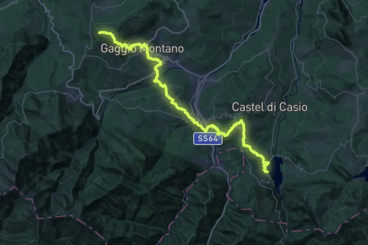
Demanding · Summit
Bacino di Suviana – Monte Belvedere
45.1 km · ↑ 2114 m · 15 h 14 min
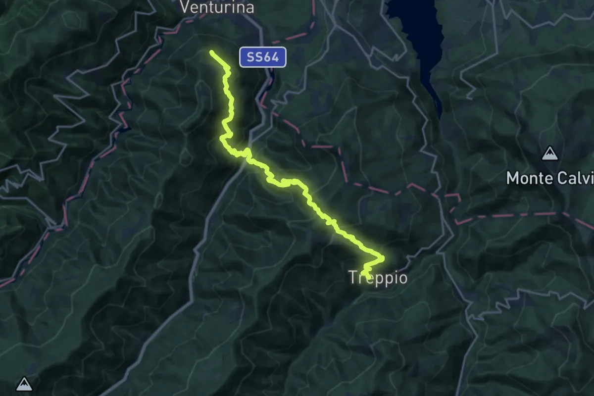
Demanding · Trail
Treppio – Innesto sentieri 155 e 161
17.9 km · ↑ 1568 m · 7 h 38 min
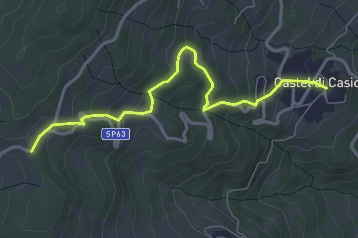
Easy · Trail
Castel di Casio – Sentiero 167
5.9 km · ↑ 258 m · 1 h 57 min
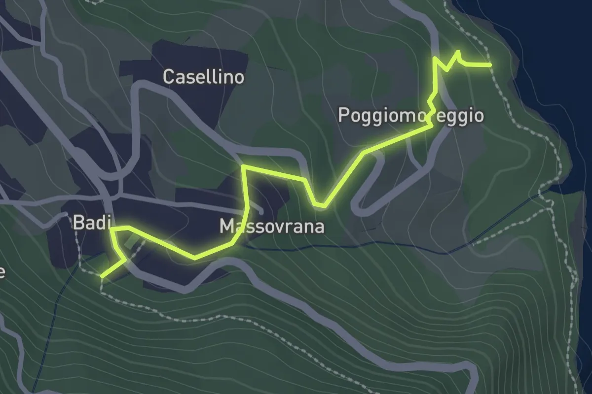
Easy · Trail
Lago di Suviana – Badi Fonte Perio
2.7 km · ↑ 149 m · 58 min
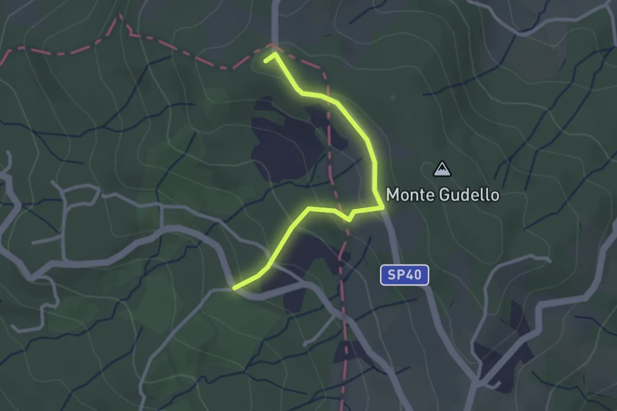
Easy · Summit
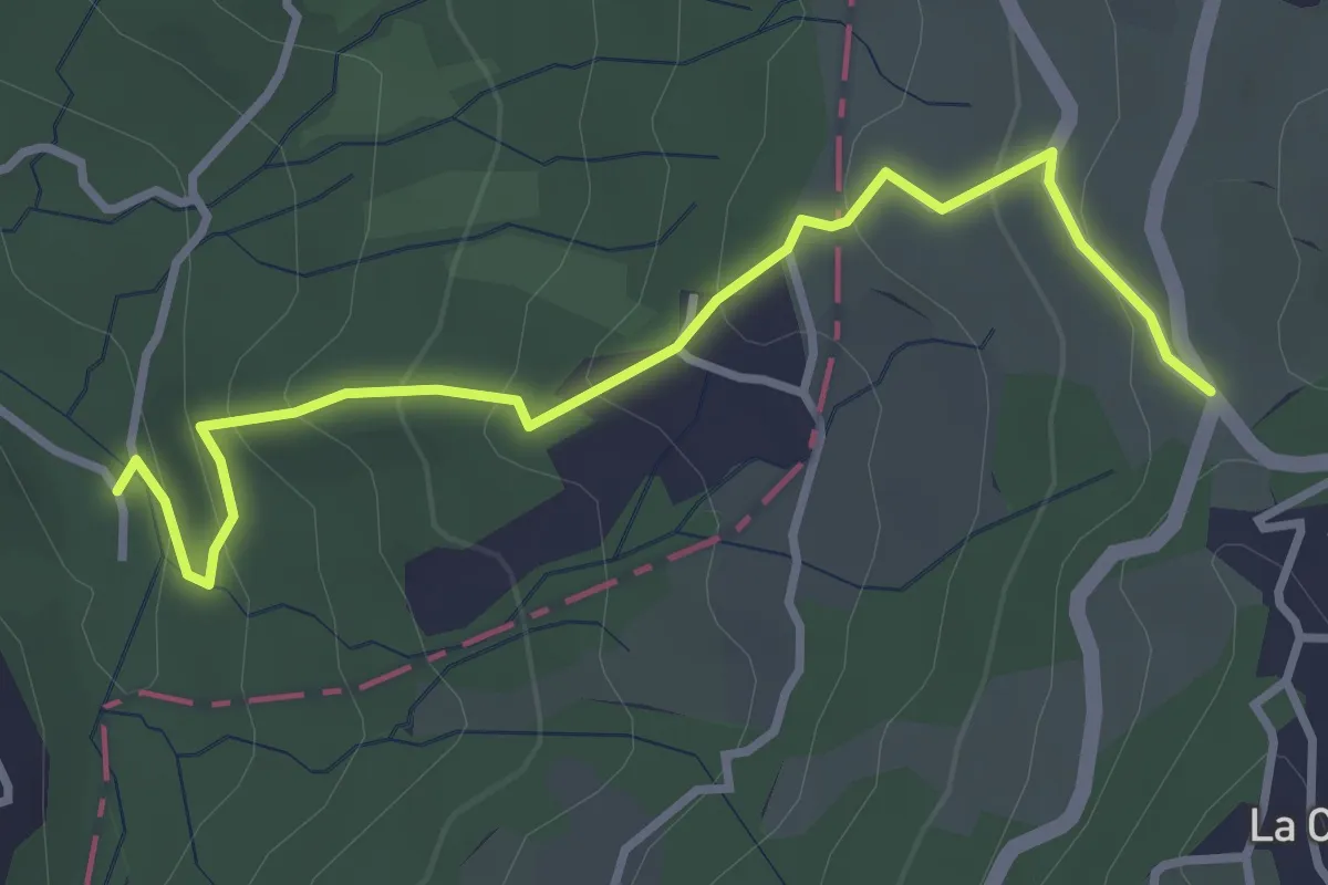
Ponte del Pontaccio – La Prossima
2.5 km · ↑ 110 m · 50 min
Easy · Trail
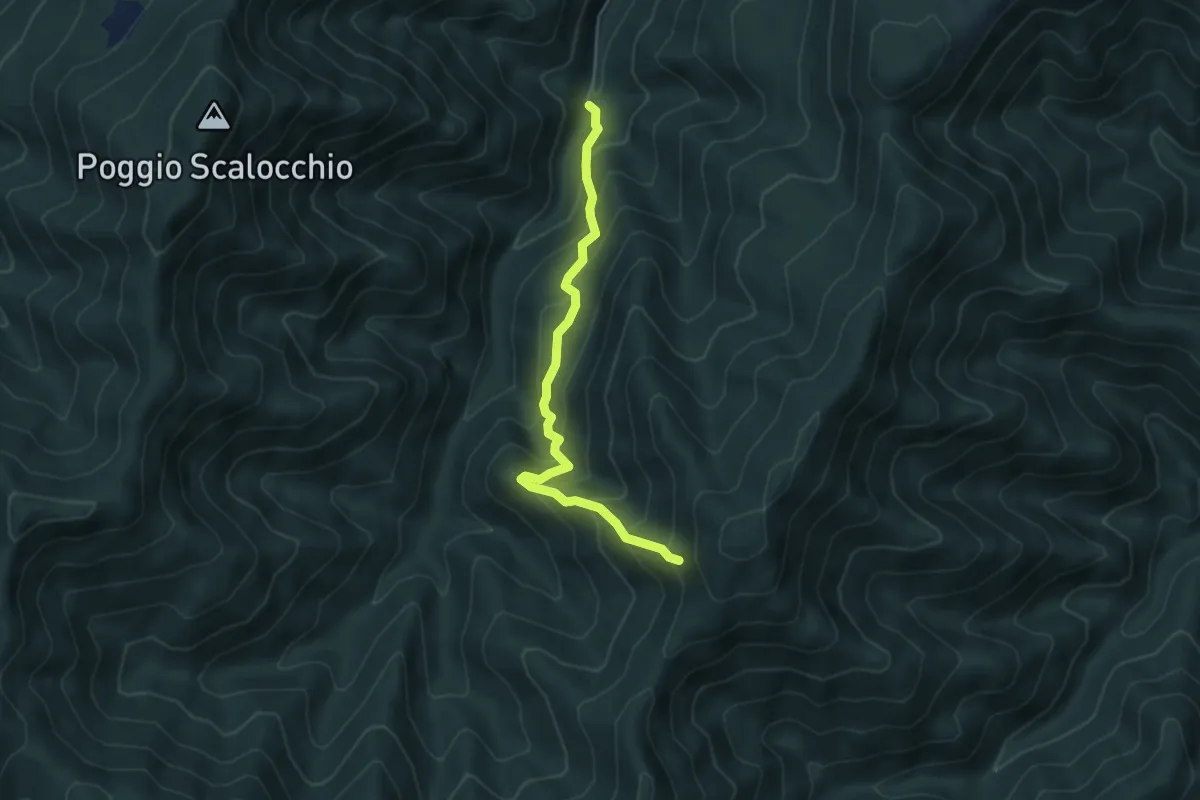
Ponte del Pontaccio – Ca' del Cucco
3.7 km · ↑ 217 m · 1 h 20 min
Medium · Trail
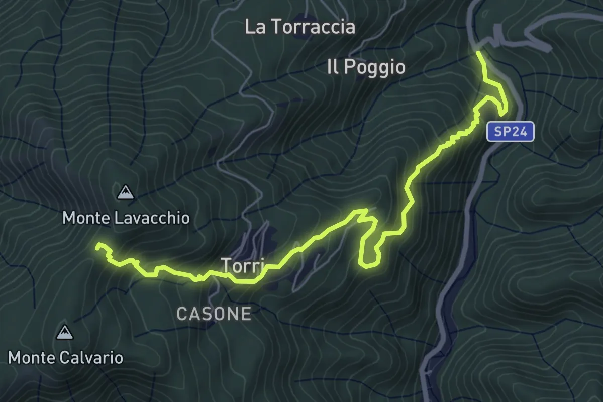
Campaldaio di Treppio – Monte Felicione
4.9 km · ↑ 408 m · 2 h 3 min
Medium · Trail
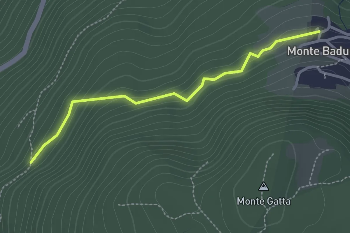
Molino di Fossato – Monte Lavacchio
7.0 km · ↑ 545 m · 2 h 50 min
Easy · Trail
Monte Baducco – Sentiero 001
2.5 km · ↑ 114 m · 51 min
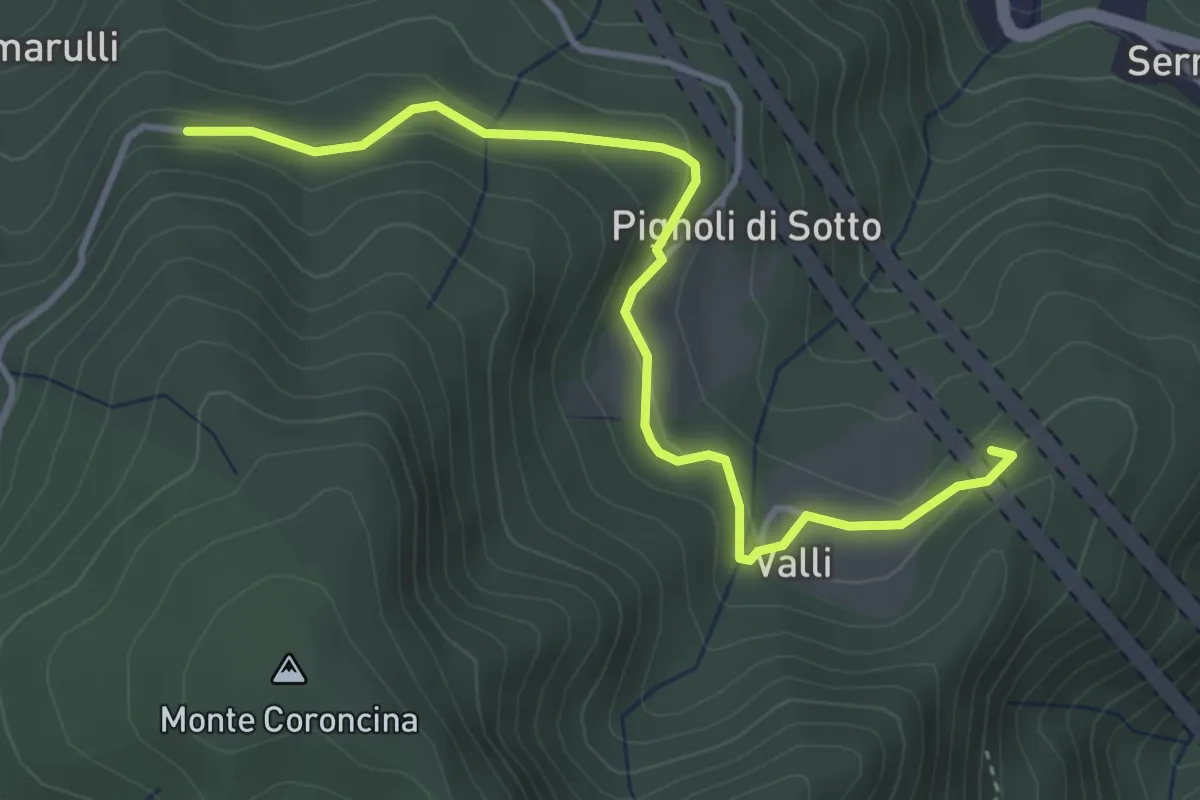
Expert · Summit
Santuario di Bocca di Rio – Percorso 005
4.3 km · ↑ 122 m · 1 h 16 min
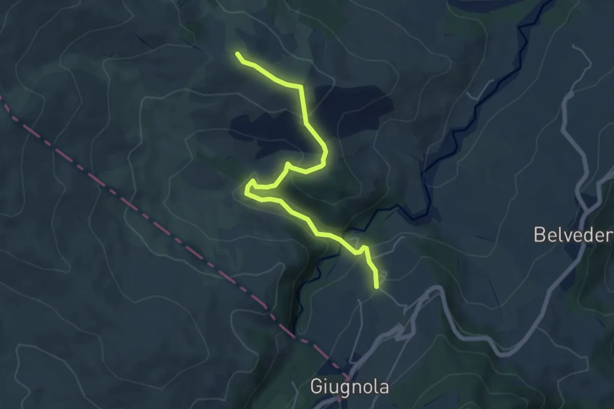
Easy · Trail
Montale – Ca'di Guzzo
5.4 km · ↑ 233 m · 1 h 47 min
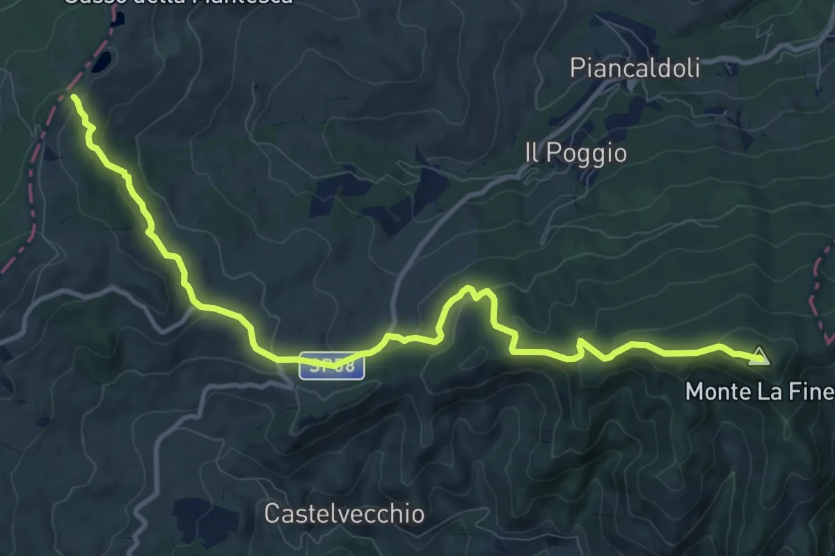
Medium · Summit
Monte La Fine – Percorso 801
12.1 km · ↑ 523 m · 3 h 59 min
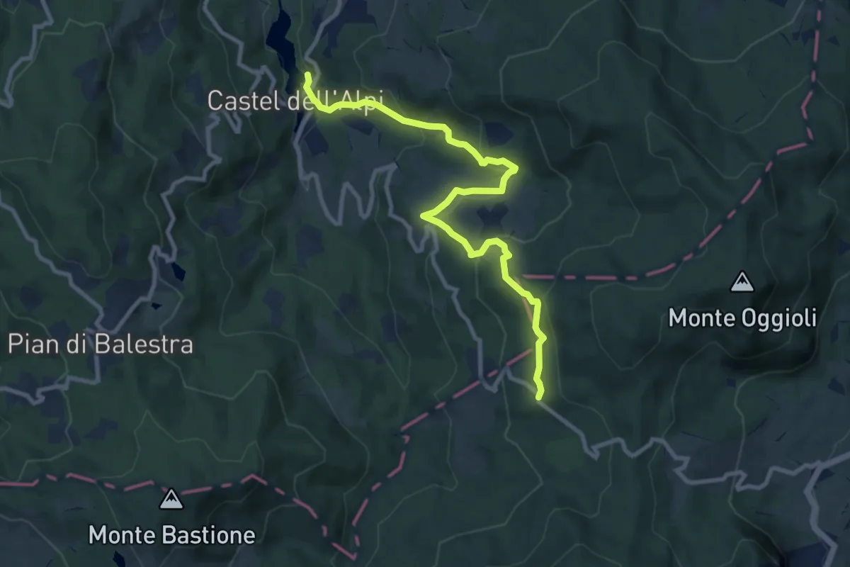
Medium · Trail
Castel dell'Alpi – Ca' di Barba
9.8 km · ↑ 504 m · 3 h 25 min