Trails in Italy
25,219 hiking trails, each with its route, climb, walking time and grade.
All trails, page 350 of 526
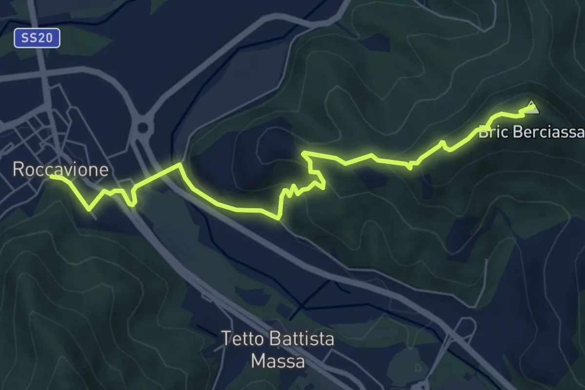
Medium · Summit
Roccavione, bivio CNAL32, CNAL35 – Robilante, colletto del Moro, bivio CNAL32, CNAL33, CNAL41
7.0 km · ↑ 373 m · 2 h 28 min
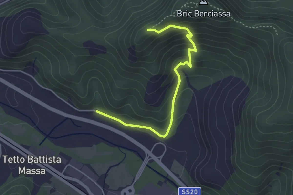
Easy · Trail
Roccavione, Tetto Ghigo, bivio CNAL32A, CNAL32B – Roccavione, bivio CNAL32, CNAL32A
3.8 km · ↑ 281 m · 1 h 31 min
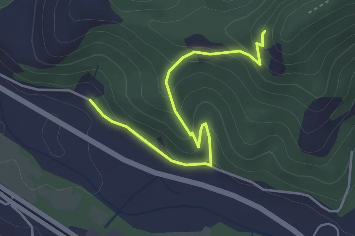
Easy · Trail
Robilante, Tetto Sales, bivio CNAL32, CNAL32B – Robilante, bivio CNAL32, CNAL32B
3.5 km · ↑ 222 m · 1 h 18 min
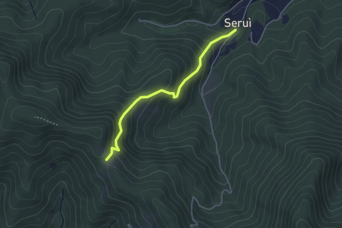
Easy · Trail
Boves, Tetto Servi, bivio CNAL41, CNAL32D – Boves, Tetto Ramonda, bivio CNAL32, CNAL32D, CNAL40
3.3 km · ↑ 288 m · 1 h 24 min
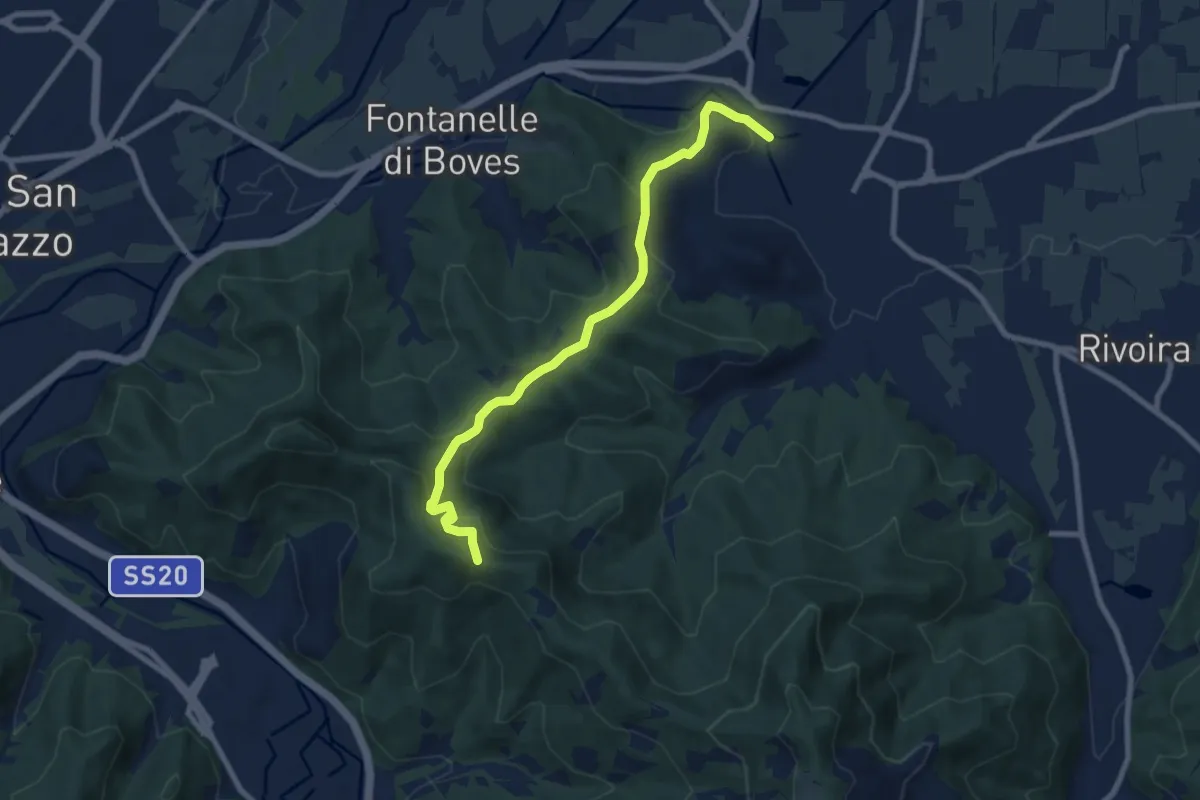
Medium · Trail
Boves, località San Sebastiano – Pilone Battaglia, bivio CNAL32, CNAL32C
8.5 km · ↑ 438 m · 2 h 57 min
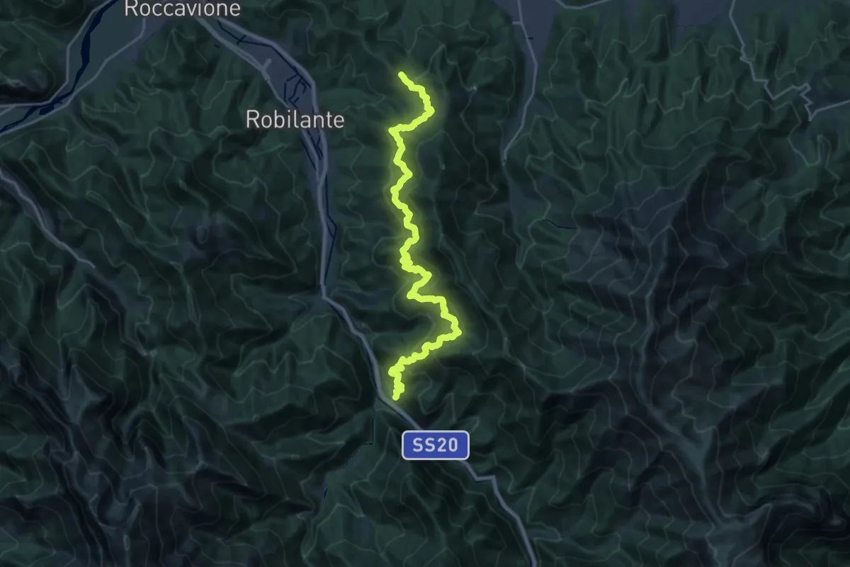
Medium · Trail
Vernante, Tetto Cesa, bivio CNAL33, CNAL45A – Colletto del Moro, bivio CNAL32, CNAL33, CNAL41
11.8 km · ↑ 722 m · 4 h 35 min
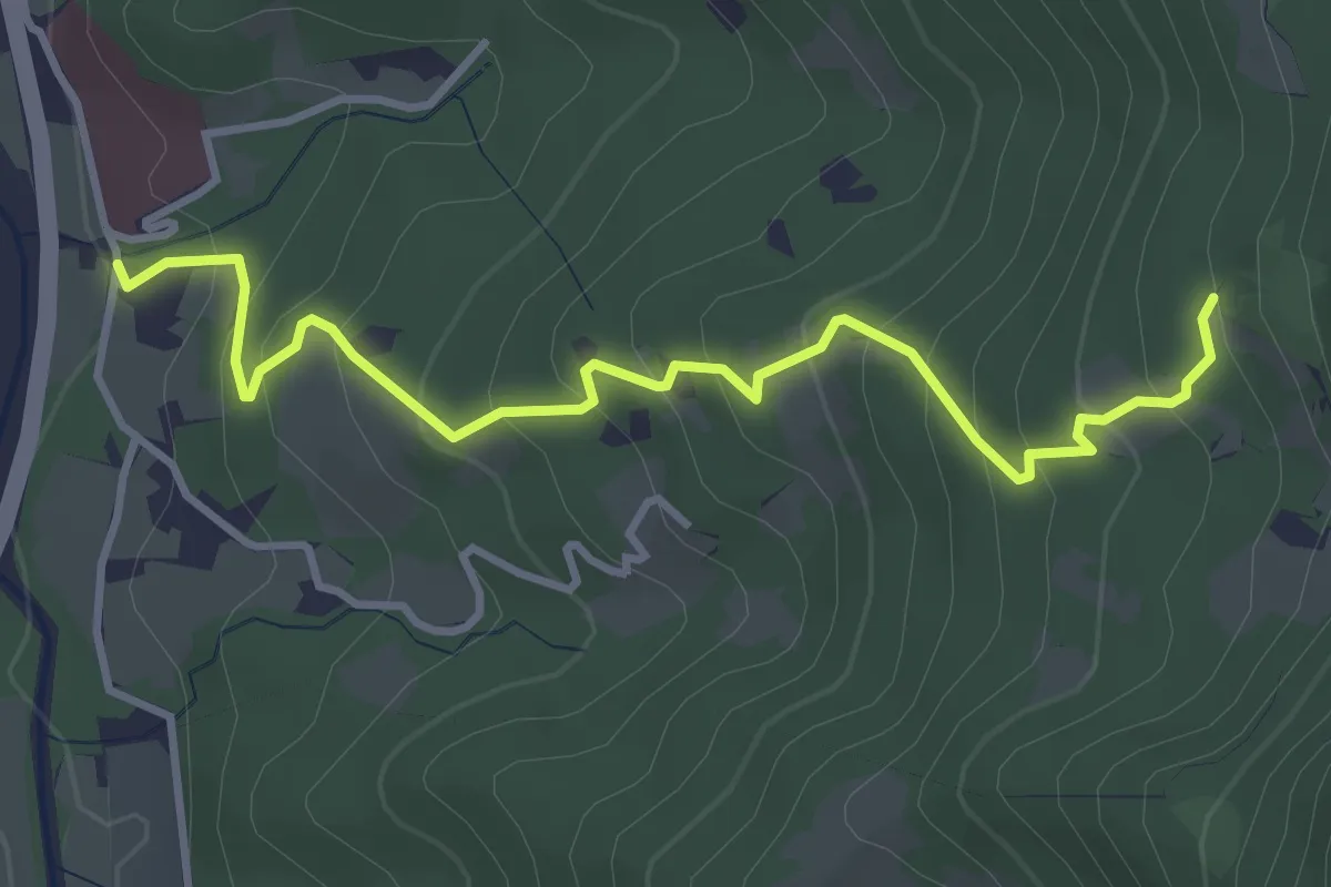
Medium · Trail
Robilante, presso località il Castello – Robilante, presso Tetto Belom, bivio CNAL33, CNAL33A
4.1 km · ↑ 336 m · 1 h 42 min
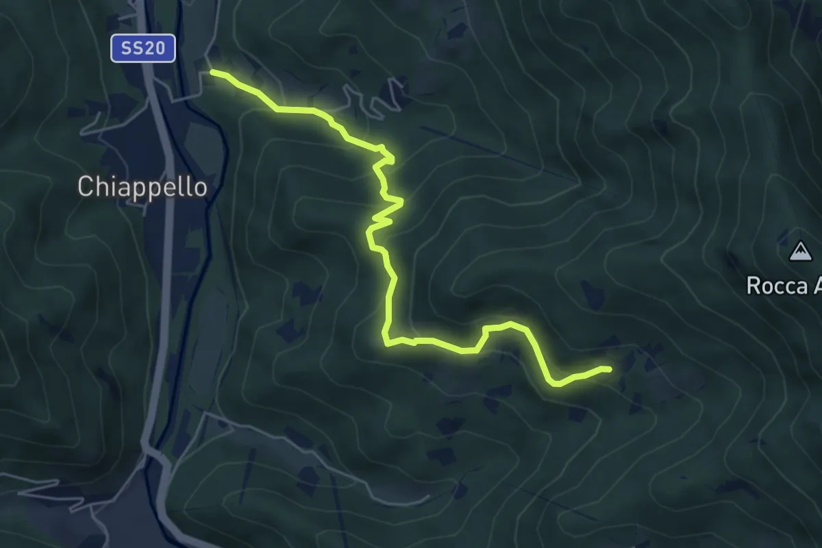
Medium · Trail
Robilante, Tetto Pettavino – Robilante, Tetto Salafin, bivio CNAL33, CNAL33C
5.9 km · ↑ 398 m · 2 h 15 min
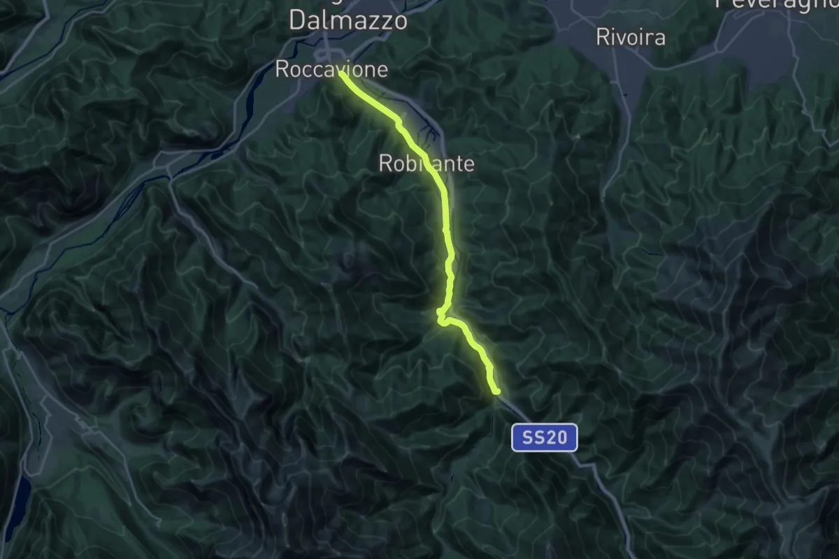
Demanding · Trail
Roccavione, bivio CNAL32, CNAL34 – Vernante, centro paese
19.6 km · ↑ 325 m · 5 h 20 min
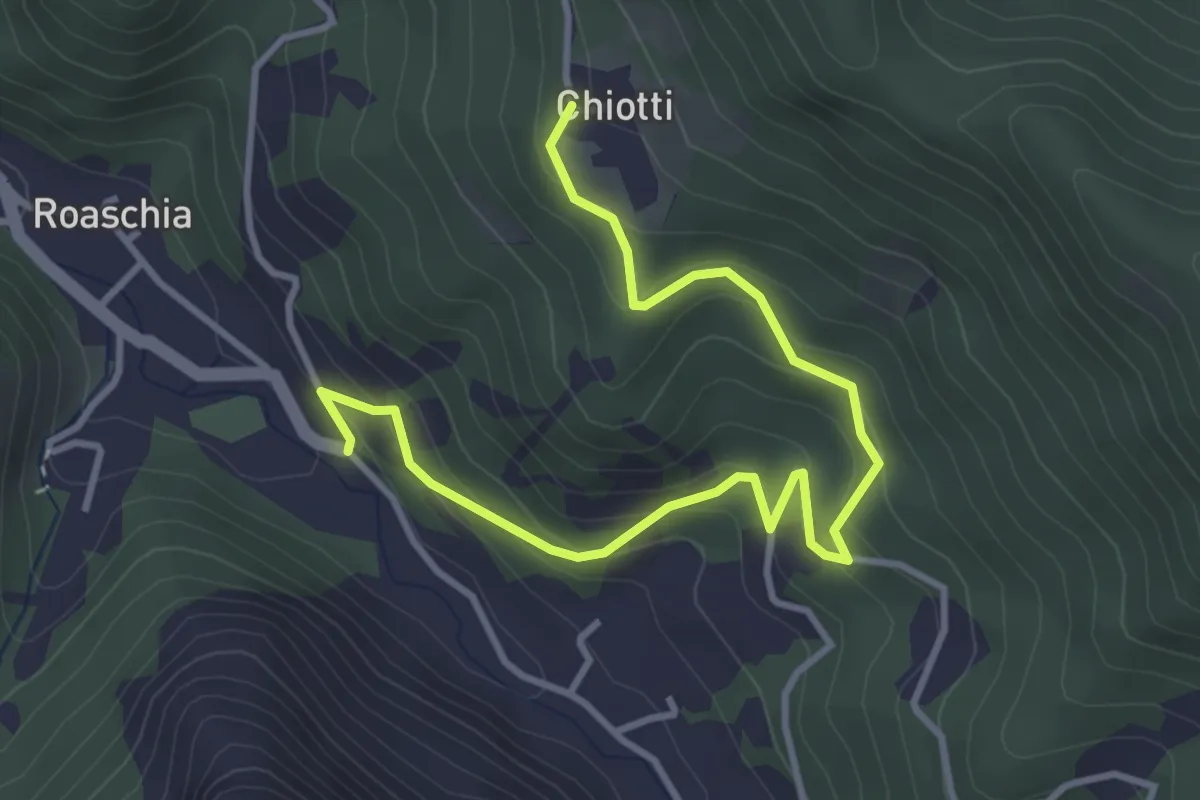
Easy · Trail
Roaschia, bivio CNAN35A, CNAN45 – Roaschia, Tetto Chiotti, bivio CNAL35, CNAL35A
4.5 km · ↑ 297 m · 1 h 42 min
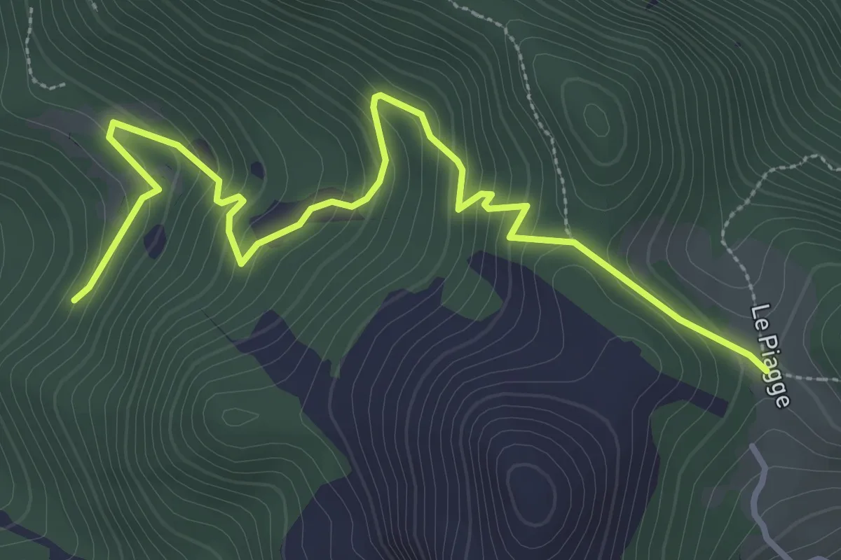
Easy · Trail
Roccavione, Tetto Massa, bivio CNAL35, CNAL36 – Robilante, cappella Madonna delle Piagge, bivio CNAL02, CNAL36
4.1 km · ↑ 270 m · 1 h 33 min
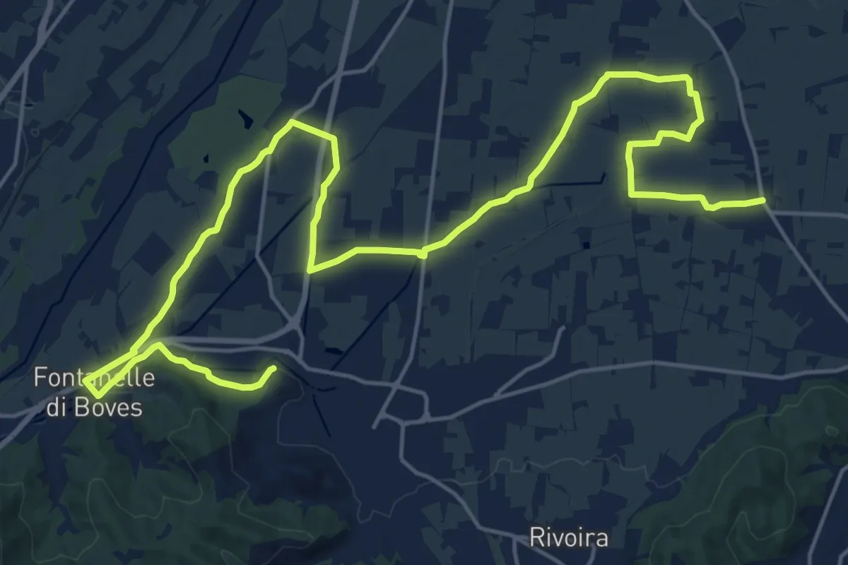
Demanding · Trail
Peveragno, San Lorenzo, bivio CNAH29, CNAL37 – Boves, San Bernardo, bivio CNAL32C, CNAL37
26.6 km · ↑ 114 m · 6 h 32 min
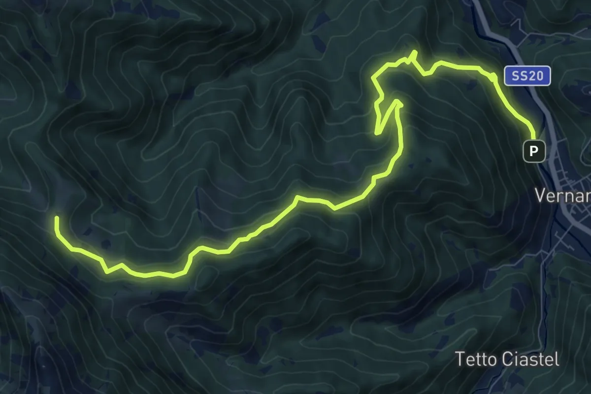
Medium · Trail
Vernante, bivio CNAL34, CNAL39 – Roaschia, Colla delle Goderie, bivio CNAL29B, CNAL39, CNAL47
12.2 km · ↑ 719 m · 4 h 27 min
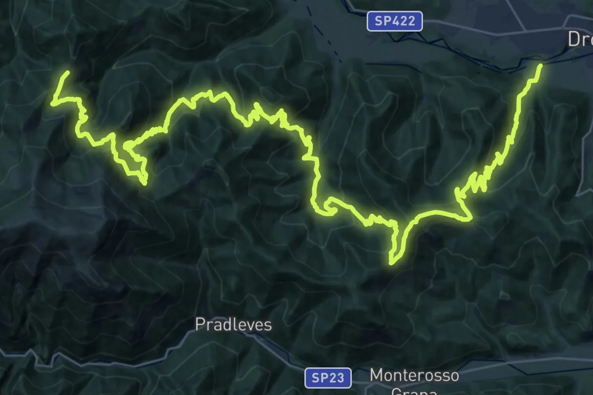
Demanding · Trail
Presso Dronero, bivio CNAS01-CNAS31 – Dronero, presso località Santa Margherita, bivio CNAS02-CNAR31
26.4 km · ↑ 2040 m · 10 h 40 min
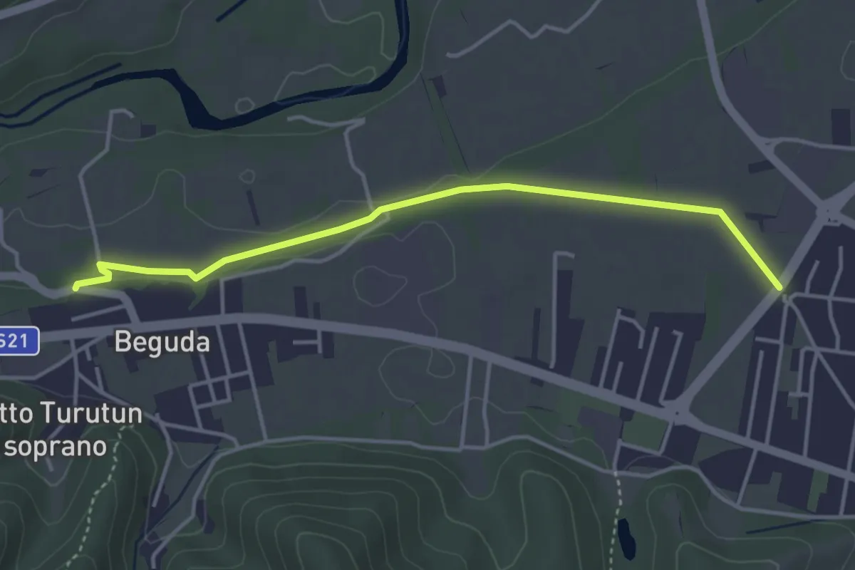
Easy · Trail
Borgo San Dalmazzo, bivio via Caduti Alpi Apuane-via Perosa – Borgo San Dalmazzo, borgata Beguda, bivio CNAP01-CNAP01D
4.1 km · ↑ 26 m · 1 h 2 min
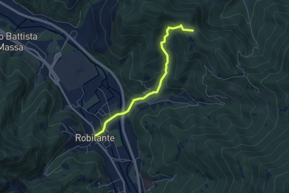
Easy · Trail
Vernante, centro paese, bivio CNAL02A-CNAL34-CNAL40 – Boves, Tetto Ramonda, bivio CNAL32- CNAL32D- CNAL40
5.2 km · ↑ 266 m · 1 h 49 min
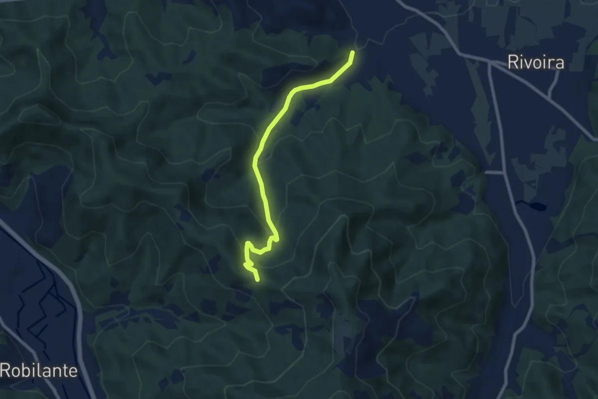
Medium · Trail
Boves, località Cerati, bivio CNAL37-CNAL41 – Robilante, colletto del Moro, bivio CNAL32- CNAL33-CNAL41
6.6 km · ↑ 332 m · 2 h 16 min
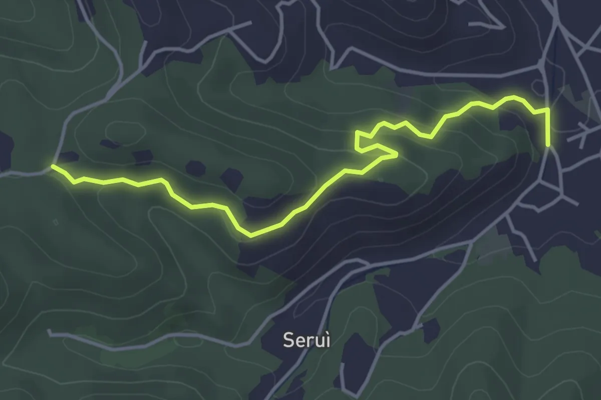
Easy · Trail
Boves, località Cerati, bivio CNAL41-CNAL41A-CNAL42 – Boves, Tetto Gianot, bivio CNAL32C-CNAL41A
4.2 km · ↑ 177 m · 1 h 23 min
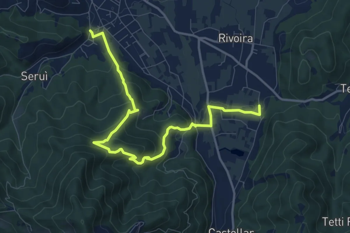
Medium · Trail
Boves, località Cerati, bivio CNAL41-CNAL41A-CNAL42 – Boves, Tetto Manel, bivio CNAL27-CNAL28-CNAL42
10.6 km · ↑ 583 m · 3 h 46 min
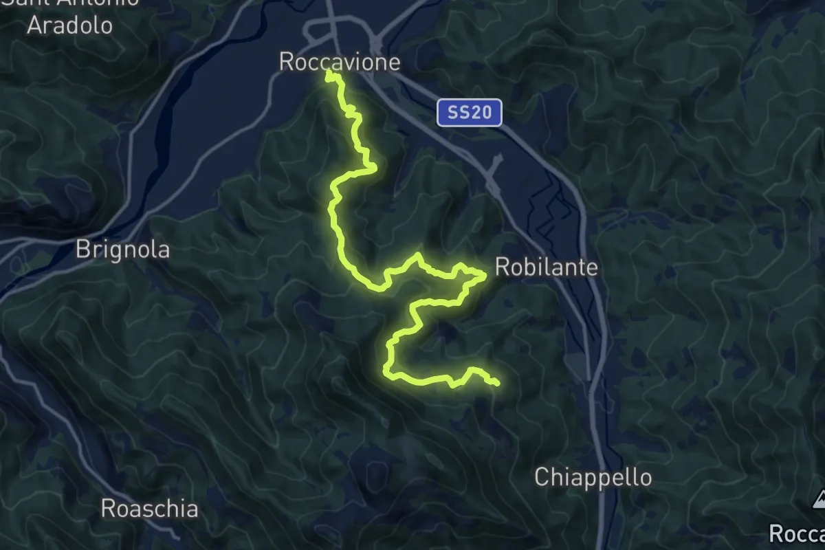
Demanding · Trail
Roccavione, bivio CNAL35-CNAL43 – Robilante, Tetto Lesibel, bivio CNAL02-CNAL43-CNAL44
17.6 km · ↑ 1195 m · 6 h 44 min
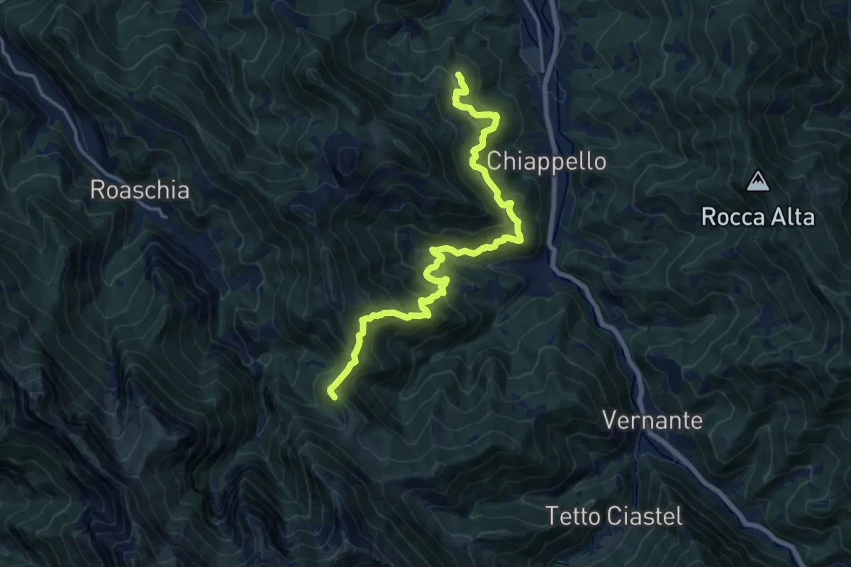
Demanding · Trail
Robilante, Tetto Lesibel, bivio CNAL02-CNAL43-CNAL44 – Vernante, Colle delle Goderie, bivio CNAL44-CNAL47
15.6 km · ↑ 1151 m · 6 h 10 min
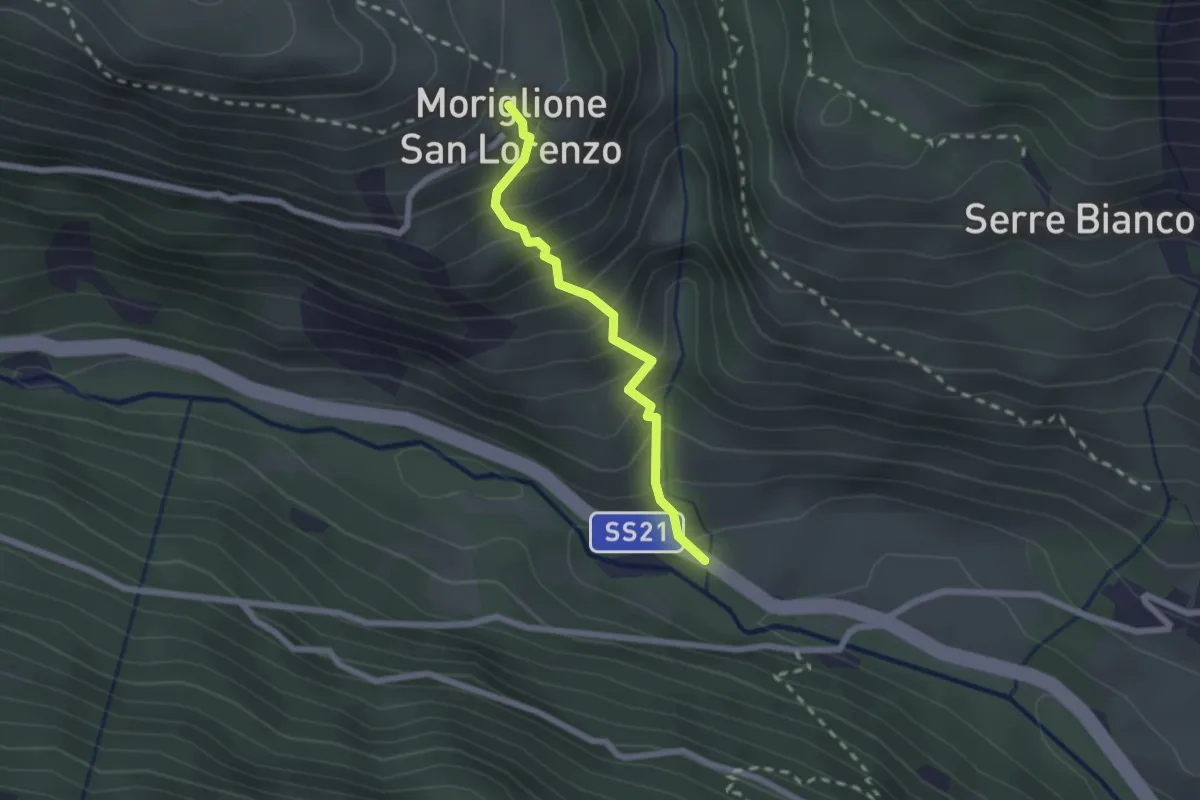
Demanding · Trail
Sambuco, SS21\ del Colle della Maddalena – Sambuco, San Lorenzo Moriglione, bivio CNAP55-CNAP55B
2.0 km · ↑ 276 m · 1 h 5 min
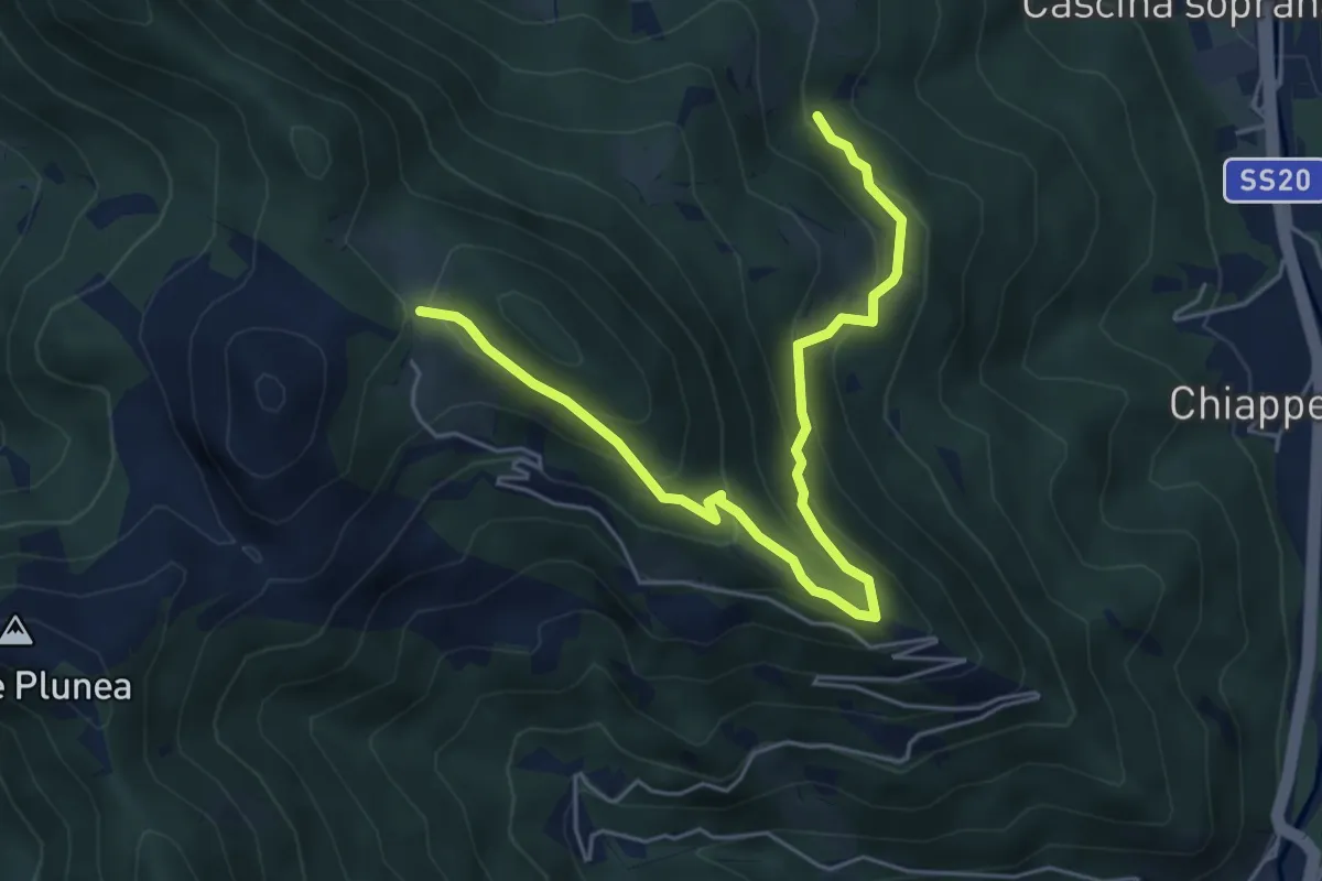
Medium · Trail
Vernante, Tetto Rescasso, bivio CNAL44-CNAL44A – Robilante, Madonna delle Piagge, bivio CNAL36-CNAL44A
6.0 km · ↑ 427 m · 2 h 21 min
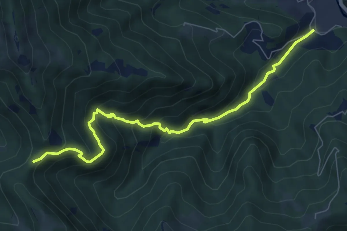
Medium · Trail
Robilante, Madonna della Neve, bivio CNAL34-CNAL44B – Vernante, Colle delle Goderie, bivio CNAL44-CNAL44B
7.1 km · ↑ 515 m · 2 h 47 min
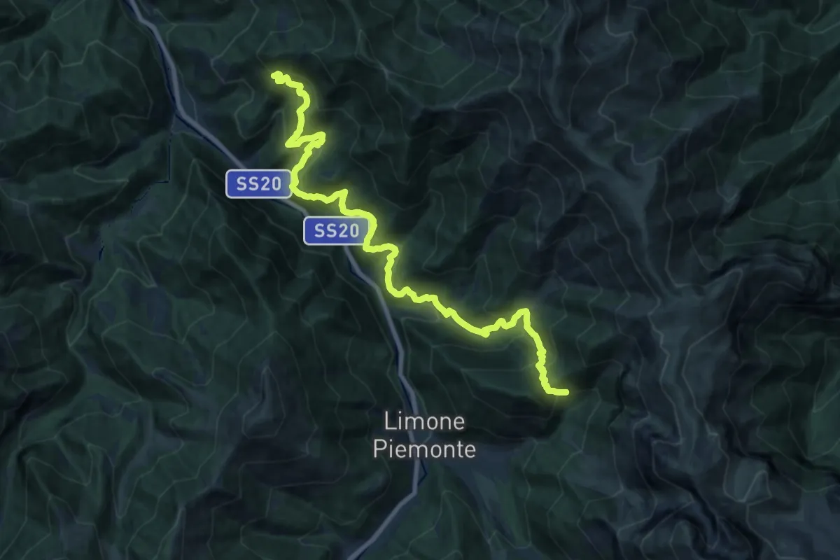
Medium · Trail
Vernante, bivio CNAL08-CNAL45 – Limone Piemonte, località Almellina, bivio CNAL11-CNAL45
10.5 km · ↑ 662 m · 4 h 10 min
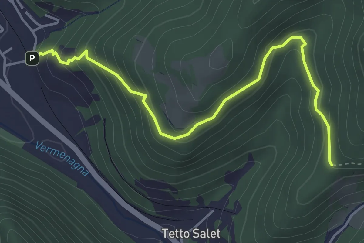
Medium · Trail
Vernante, Tetto Cesa, bivio CNAL33-CNAL45A – Vernante, Tetto Tola, bivio CNAL45-CNAL45A
4.2 km · ↑ 393 m · 1 h 51 min
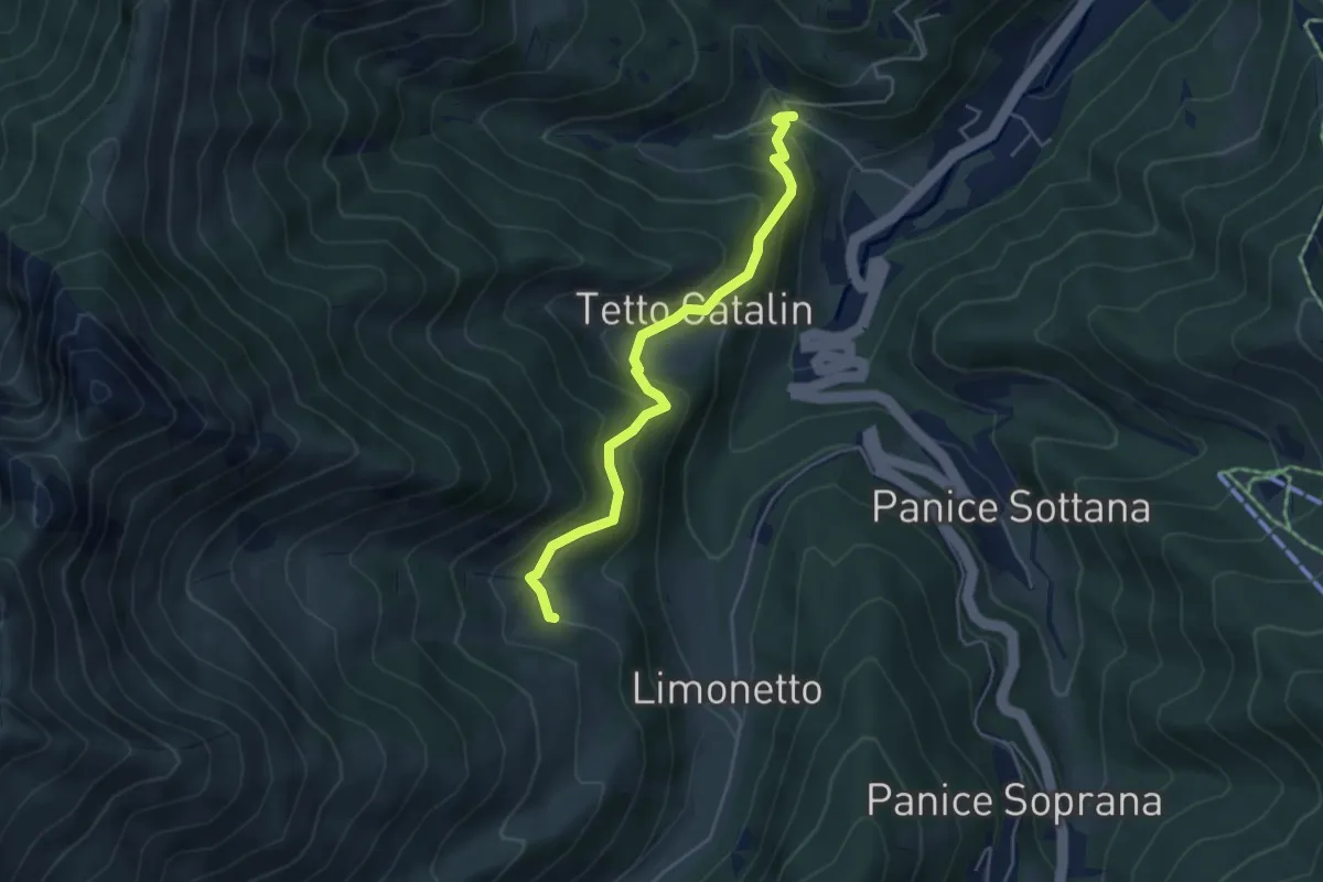
Easy · Cabin
Limone Piemonte, Sant'Anna, bivio CNAL09-CNAL51A – Limone Piemonte, Tetti Cortassa, bivio CNAL51-CNAL51A
4.8 km · ↑ 309 m · 1 h 48 min
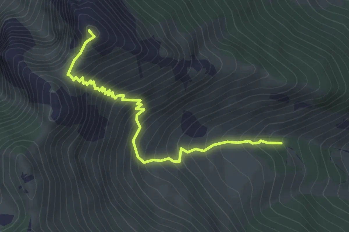
Medium · Summit
Limone Piemonte, Tetti Cortassa, CNAL51-CNAL51B – Limone Piemonte, Bec Baral
4.4 km · ↑ 541 m · 2 h 12 min
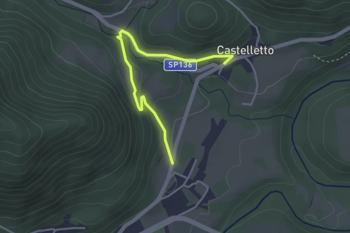
Easy · Trail
Gaiola, Piancastelletto, bivio CNAO01-CNAP01B – Roccaspervera, Castelletto, bivio CNAP01-CNAP01B
3.3 km · ↑ 91 m · 58 min
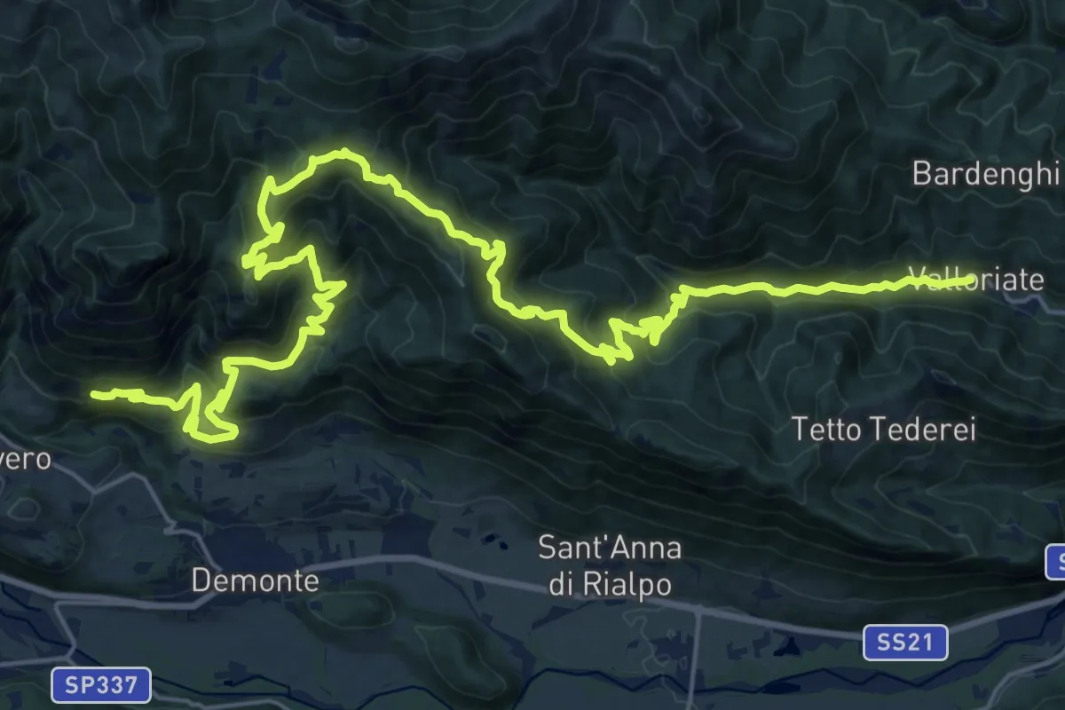
Demanding · Trail
Valloriate, bivio CNAP01-CNAP02 – Demonte, borgata Pons, bivio CNAP02-CNAP03
17.0 km · ↑ 863 m · 6 h 14 min
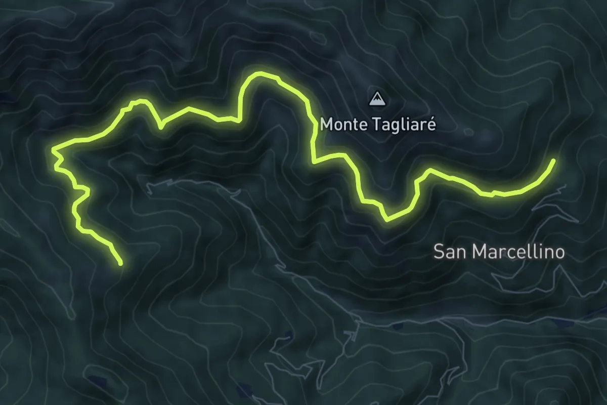
Medium · Trail
Valloriate, presso borgata Chiotti Soprani, bivio CNAP04-CNAP04A – Valloriate, bivio CNAP02, CNAP04A
12.0 km · ↑ 721 m · 4 h 23 min
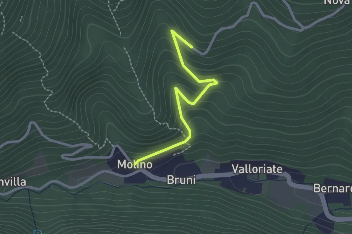
Easy · Trail
Valloriate, frazione Molino, bivio CNAP04-CNAP04C – Valloriate, borgata Passet, bivio CNAP04C-CNAP77
2.1 km · ↑ 122 m · 45 min
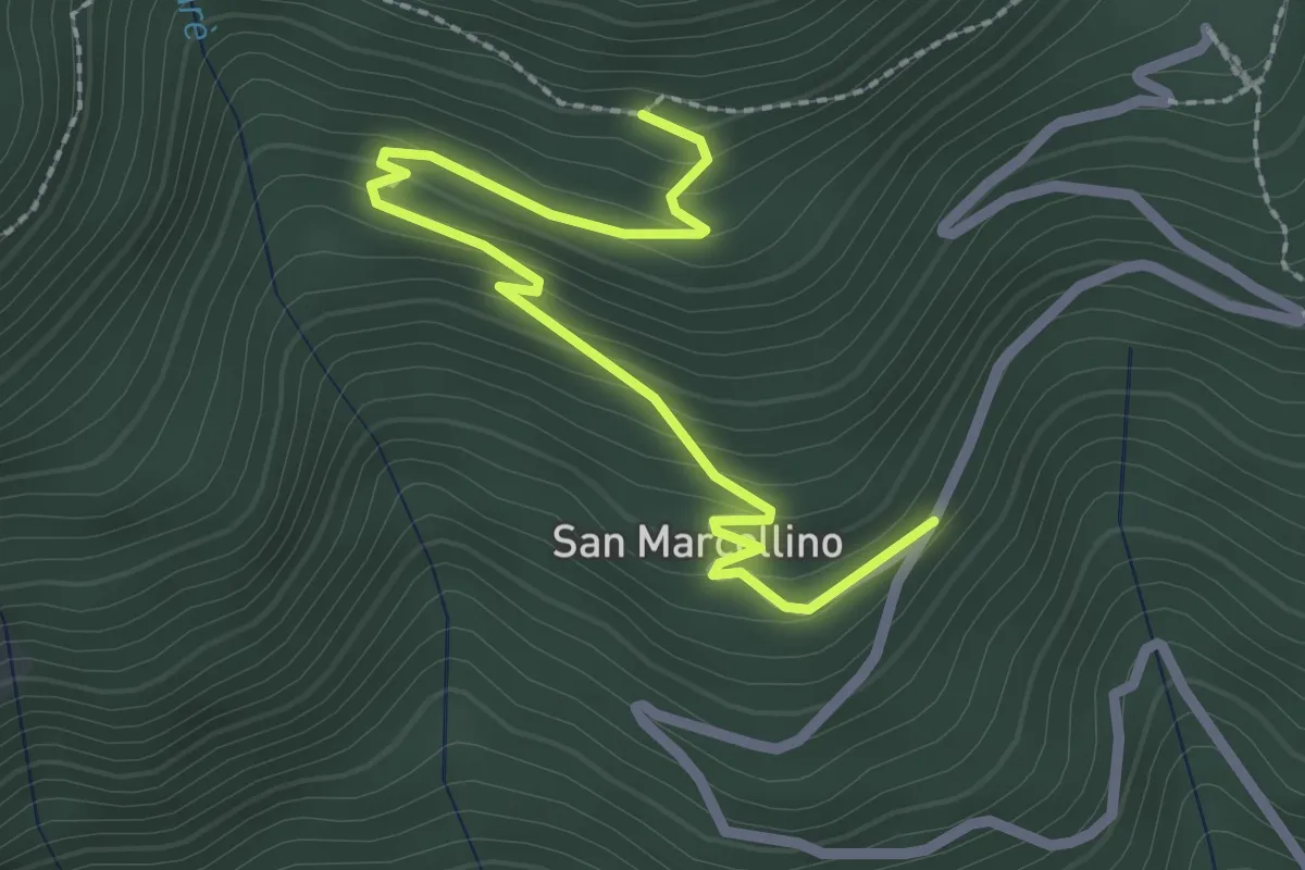
Easy · Trail
Valloriate, borgata San Marcellino Sottano, bivio CNAP04-CNAP04D – Valloriate, località Pichetta, bivio CNAP04A-CNAP04D
2.9 km · ↑ 175 m · 1 h 3 min
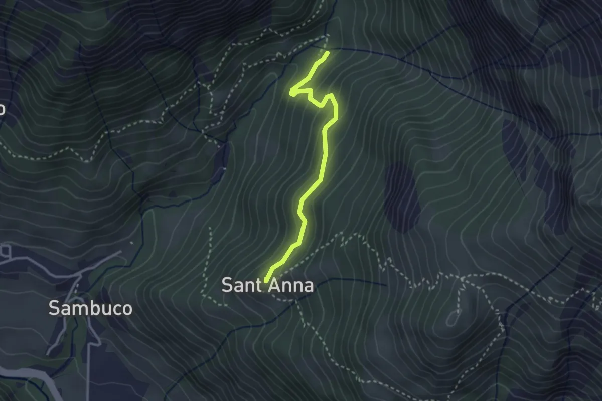
Demanding · Trail
Sambuco, presso Comba Sapet, bivio CNAP06A-CNAP34 – Sambuco, borgata Sant'Anna, bivio CNAP06-CNAP06A
2.7 km · ↑ 176 m · 1 h 1 min
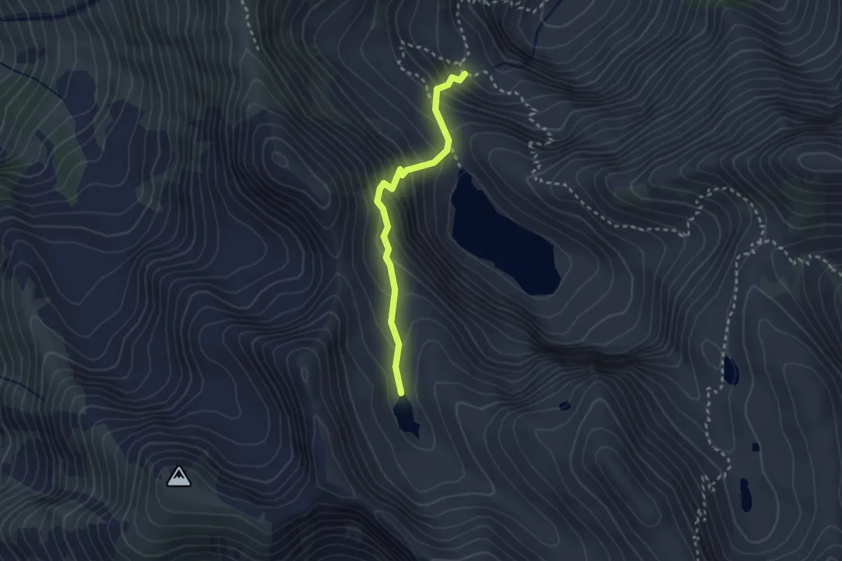
Demanding · Trail
Aisone, presso lago Soprano della Valletta, bivio CNAP07-CNAP07B – Aisone, Lago oltre Soprano della Valletta
2.5 km · ↑ 312 m · 1 h 17 min
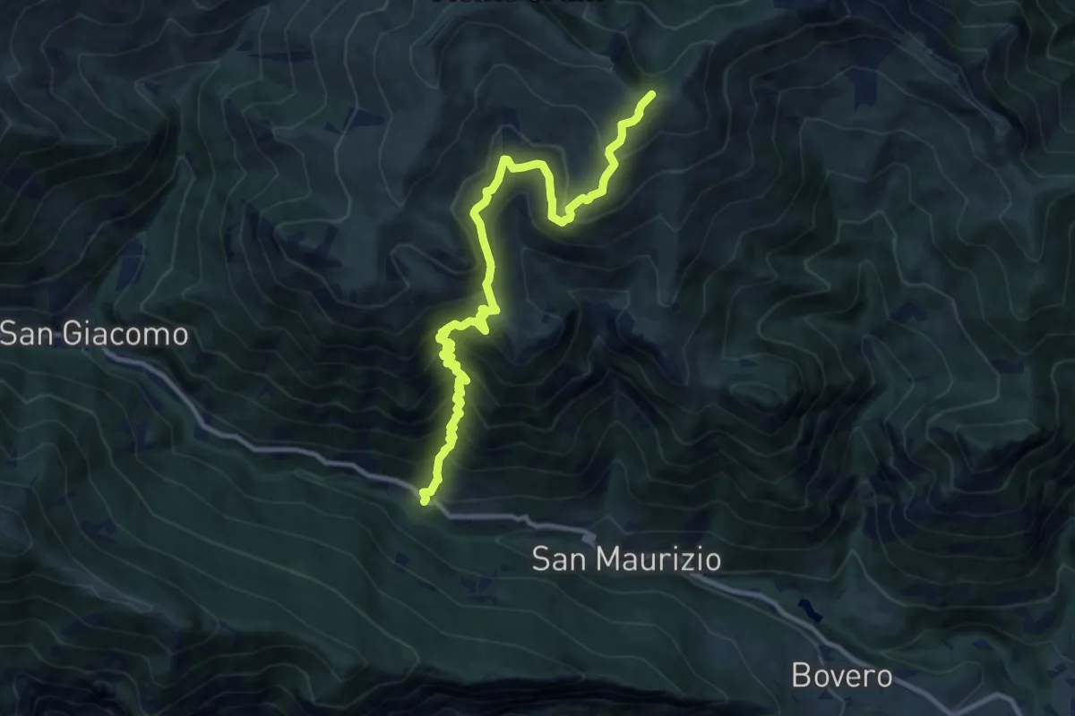
Demanding · Trail
Demonte, borgata Trinità, bivio CNAP09-CNAP70 – Demonte, passo della Magnana, bivio CNAP09-CNAR27
11.8 km · ↑ 1097 m · 5 h 10 min
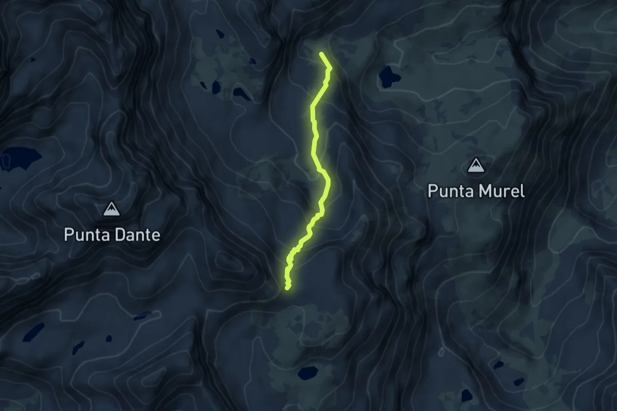
Demanding · Trail
Crissolo, presso rifugio e lago Alpetto, bivio CNAV07-CNAV24 – Passo Gallarino, bivio CNAU10-CNAV07
4.2 km · ↑ 359 m · 1 h 47 min
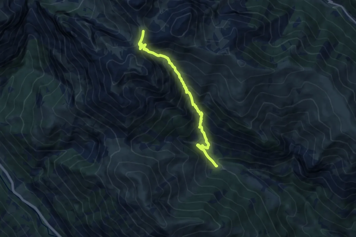
Demanding · Trail
Vinadio, presso Veirassa Superiore, bivio CNAP06-CNAP12 – Colle Serour, bivio CNAP12-CNAP46
8.9 km · ↑ 1035 m · 4 h 21 min
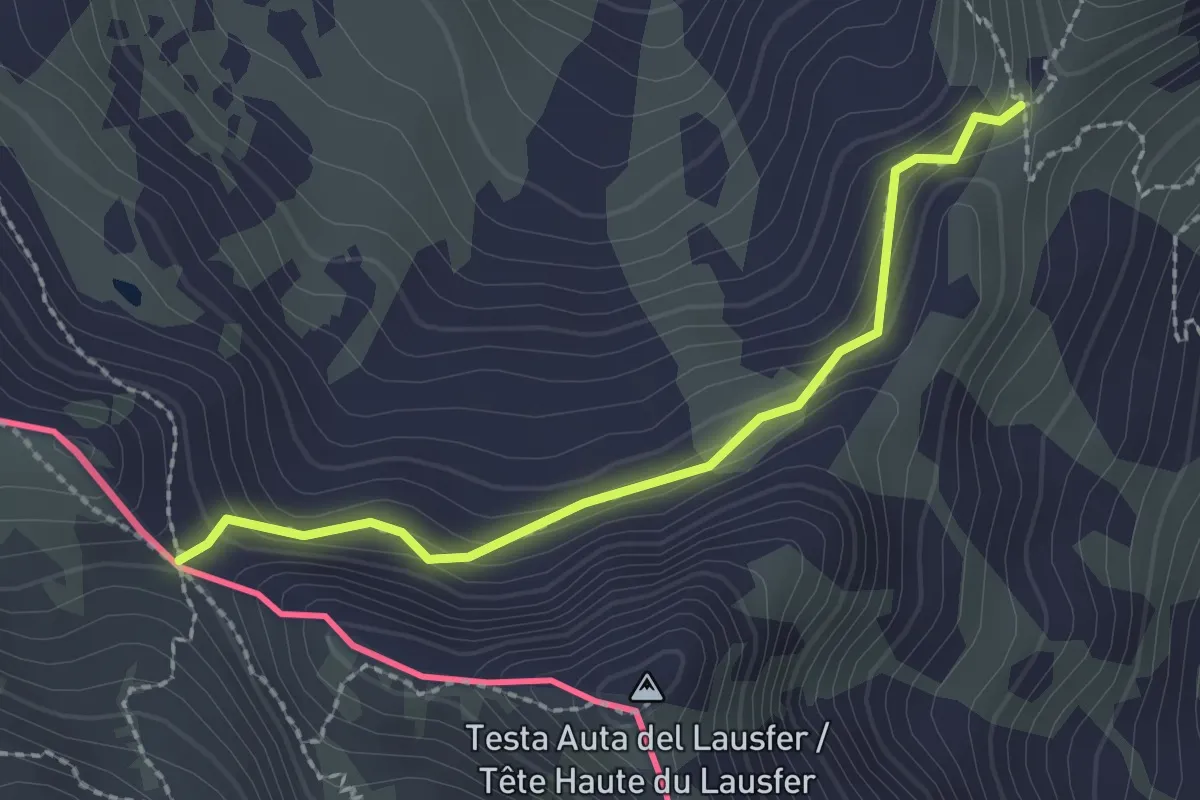
Medium · Trail
Vinadio, passo Tesina, bivio CNAP19-CNAP19B – Vinadio, Passo del Lausfer, bivio CNAP19B-CNAP20A
2.2 km · ↑ 143 m · 50 min
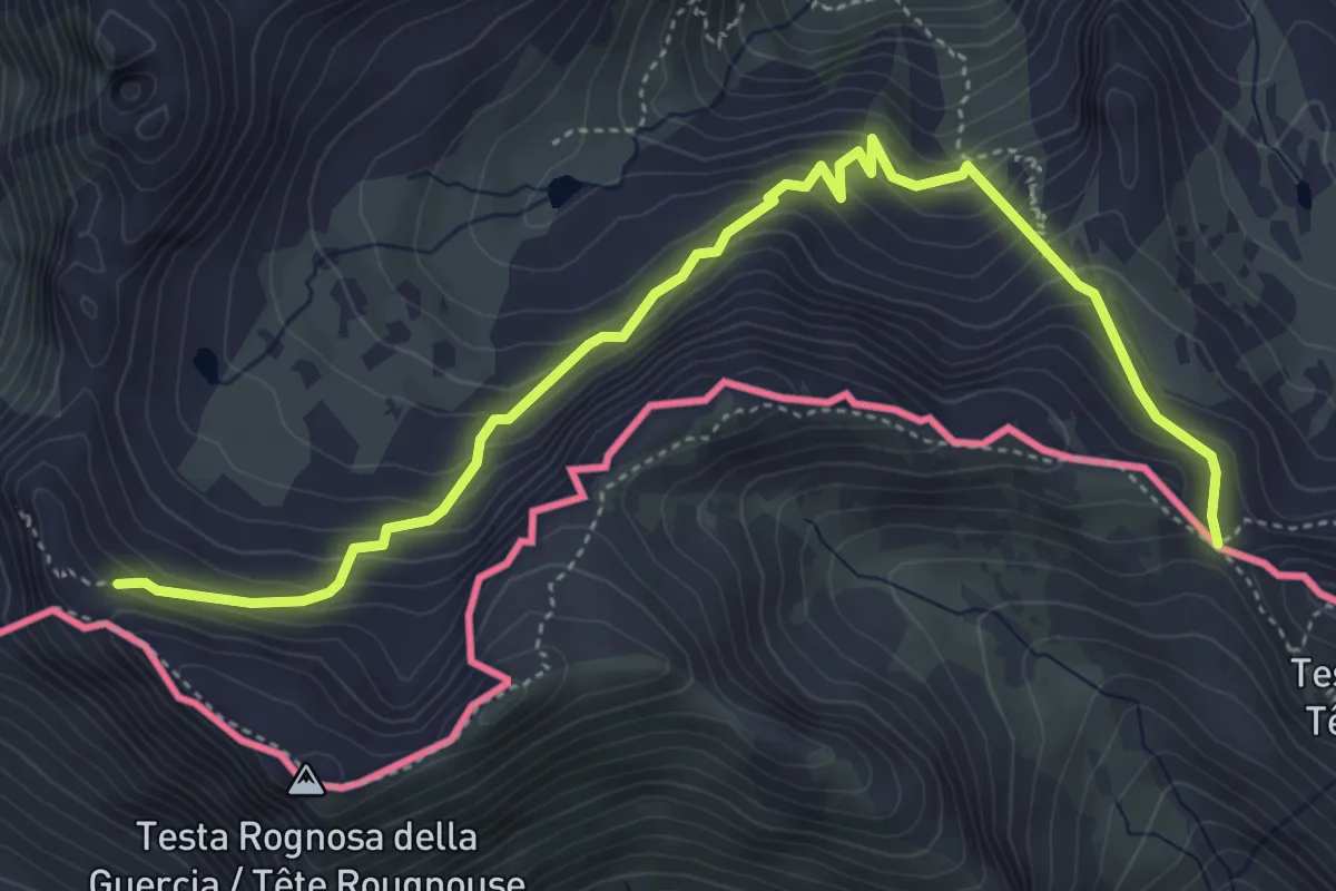
Demanding · Trail
Vinadio, passo del Lausfer, bivio CNAP19B-CNAP20A – Vinadio, Passo del Bue, bivio CNAP20-CNAP20A
5.7 km · ↑ 590 m · 2 h 37 min
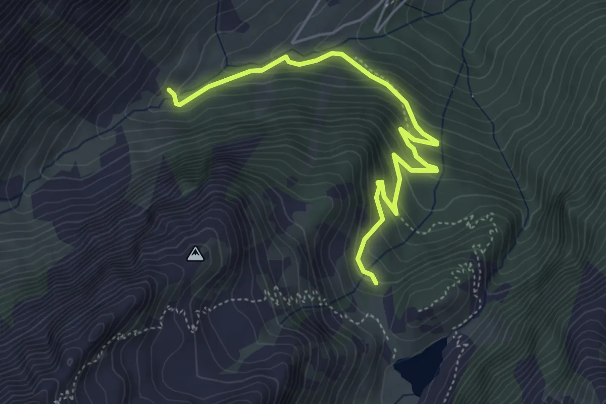
Medium · Cabin
Vinadio, vallone di San Bernolfo, bivio CNAP21B-CNAP23 – Vinadio, rifugio De Alexandris-Foches al Laus, bivio CNAP21-CNAP21B
5.4 km · ↑ 346 m · 2 h 2 min
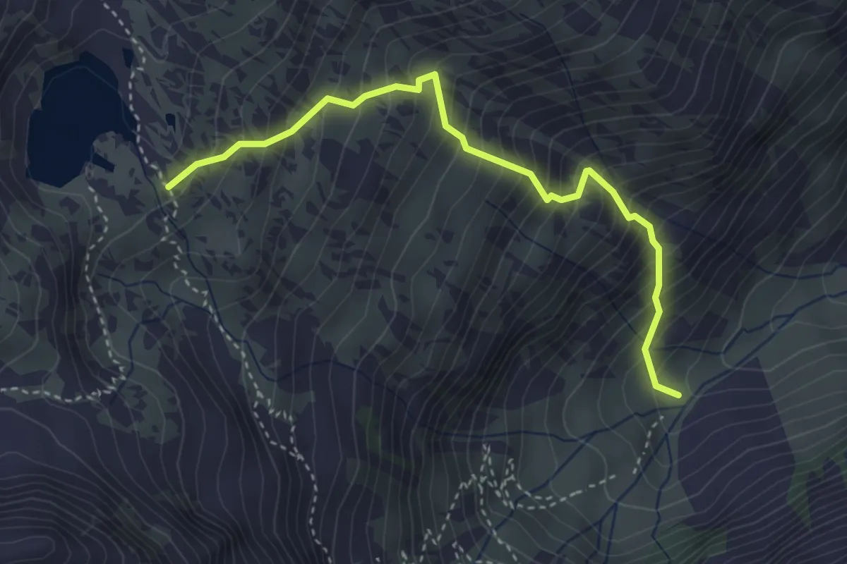
Medium · Trail
Vinadio, Capanna di Corborant, bivio CNAP23-CNAP23B – Vinadio, presso laghi del Lausfer, bivio CNAP23B-CNAP47
3.9 km · ↑ 576 m · 2 h 10 min
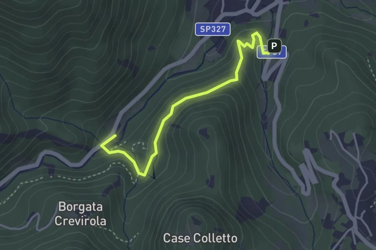
Medium · Trail
Frabosa Sottana, persso località San Grato, SP183 per Frabosa Soprana – Frabosa Sottana, biglietteria delle grotte del Caudano
3.3 km · ↑ 226 m · 1 h 17 min
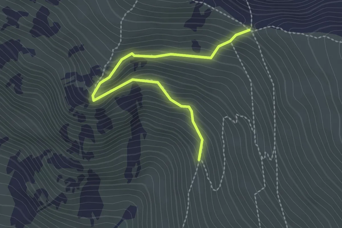
Demanding · Trail
Crissolo, presso rio Cugn, bivio CNAV11-CNAV11A – Crissolo, colle delle Porte, bivio CNAN11-CNAV11A
2.6 km · ↑ 247 m · 1 h 8 min
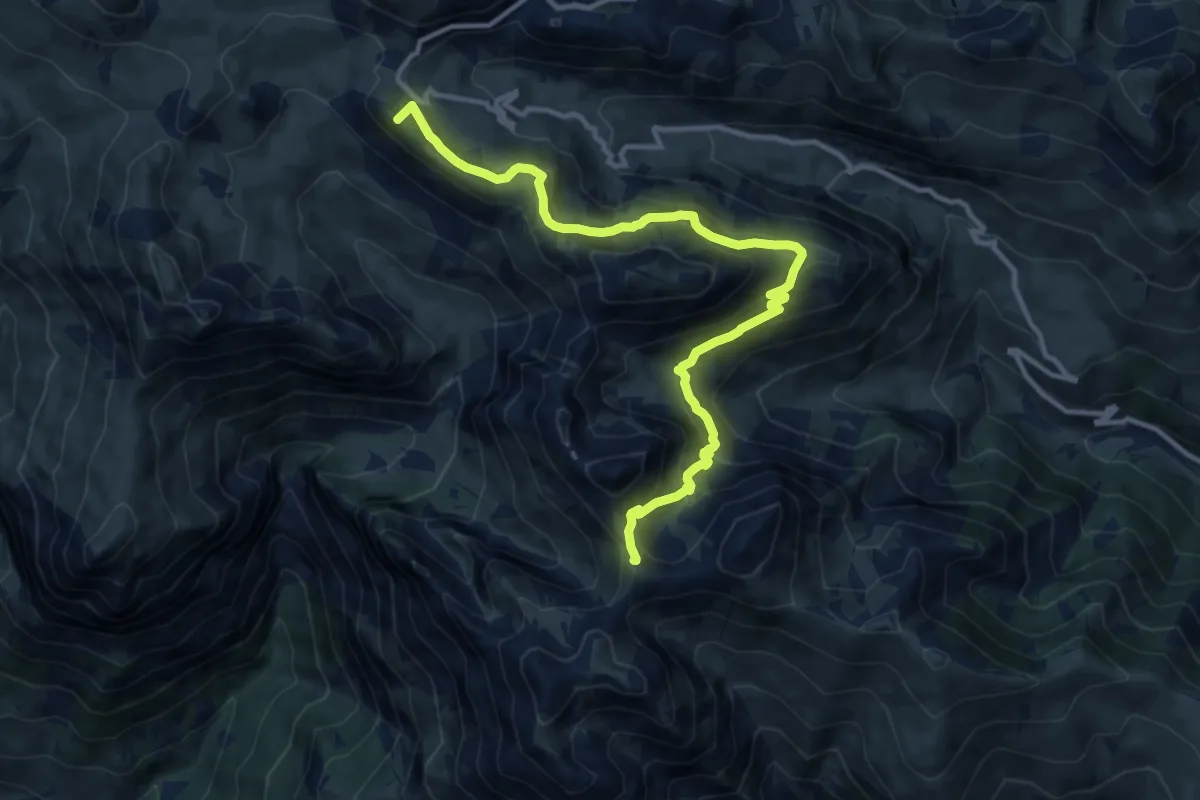
Demanding · Summit
Sambuco-Demonte, colle Serour, bivio CNAP12-CNAP46 – Demonte, colle Valcavera, bivio CNAP34-CNAP46
13.3 km · ↑ 779 m · 4 h 49 min
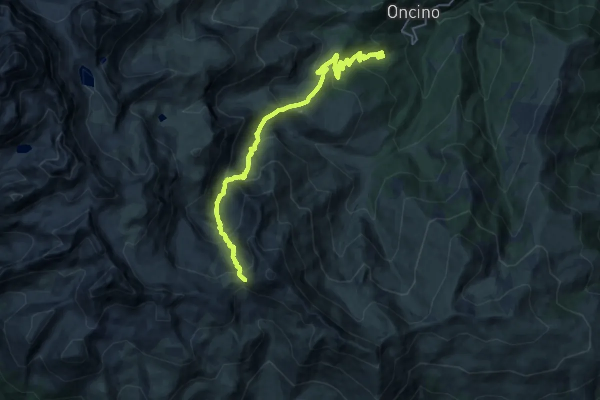
Demanding · Trail
Oncino, presso borgata Ruetto, bivio CNAV05-CNAV41 – Sampeyre, colle di Luca, bivio CNAU04-CNAU31-CNAU47-CNAV05-CNAV27
18.8 km · ↑ 1222 m · 7 h 5 min
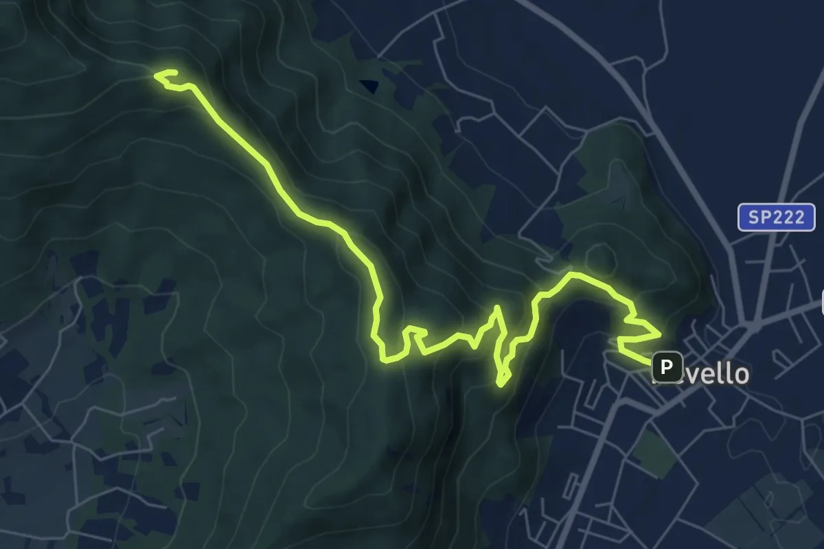
Medium · Trail
Revello, centro paese – Rifreddo, San Bernardo, bivio CNAV01-CNAV01E
8.6 km · ↑ 554 m · 3 h 14 min
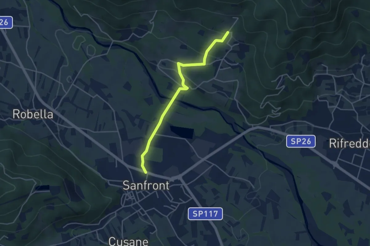
Easy · Trail
Sanfront, centro paese,bivio CNAN01E-CNAV03 – Sanfront, località Monbracco, bivio CNAV01-CNAV01G
3.9 km · ↑ 132 m · 1 h 13 min