Trails in Italy
25,219 hiking trails, each with its route, climb, walking time and grade.
All trails, page 358 of 526
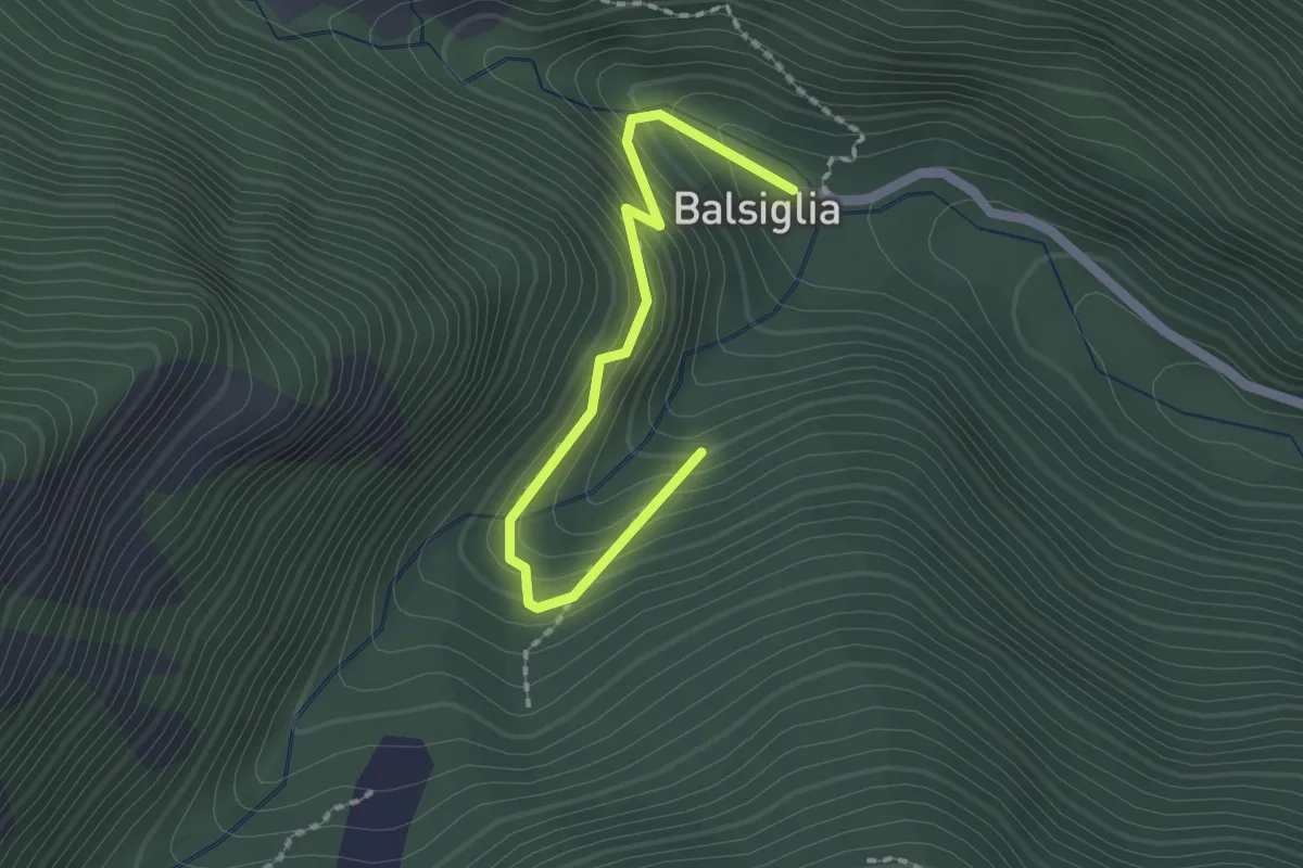
Easy · Trail
Massello, località Balsiglia, bivio TOS200-TOS200B – Massello, bivio TOS200-TOS200B presso località Castello
2.0 km · ↑ 186 m · 53 min
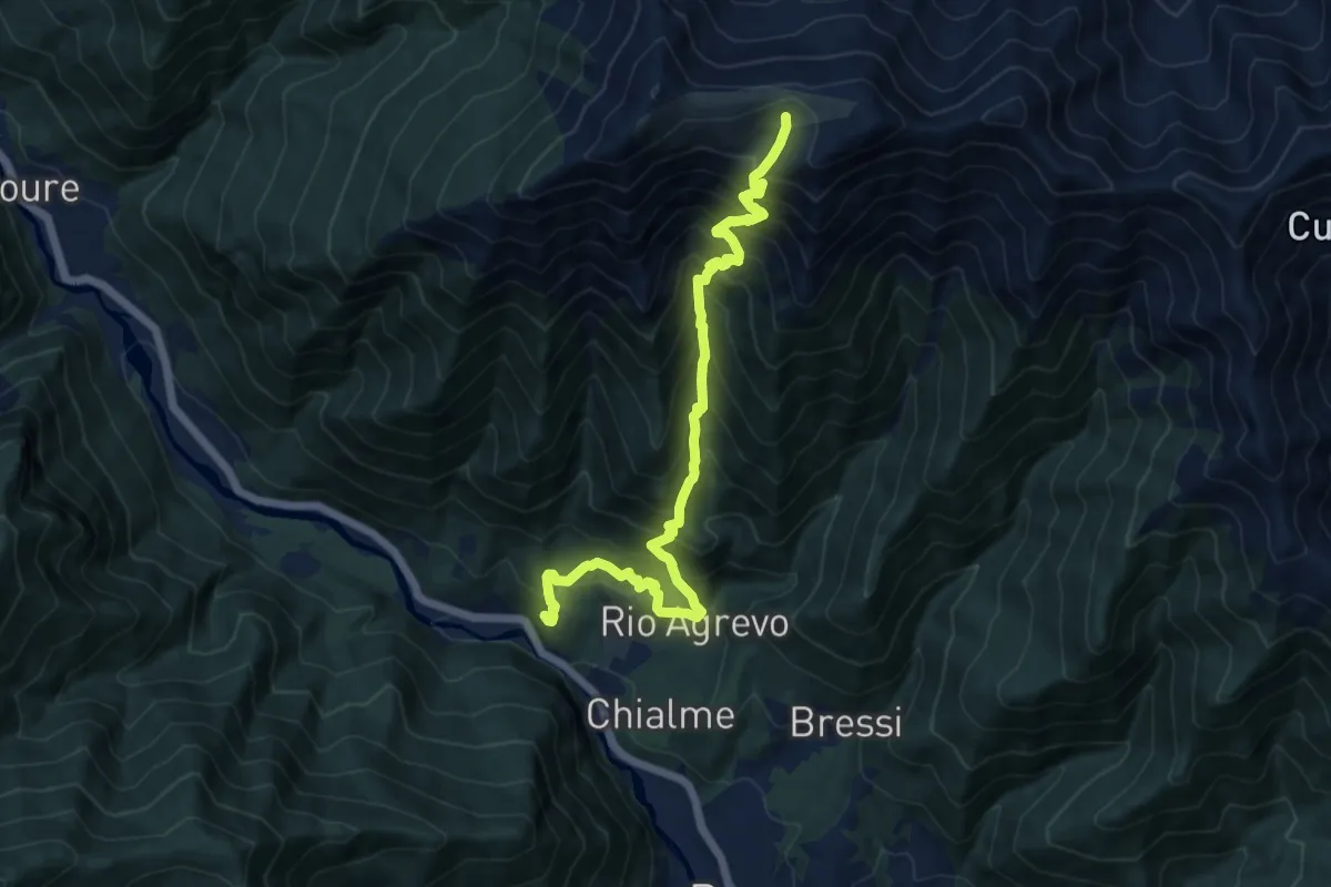
Demanding · Cabin
Perosa Argentina, Borgata Ciapella, bivio TOS344-TOS301 – Alpe Bocciarda, Rifugio Alpini
13.0 km · ↑ 1564 m · 6 h 28 min
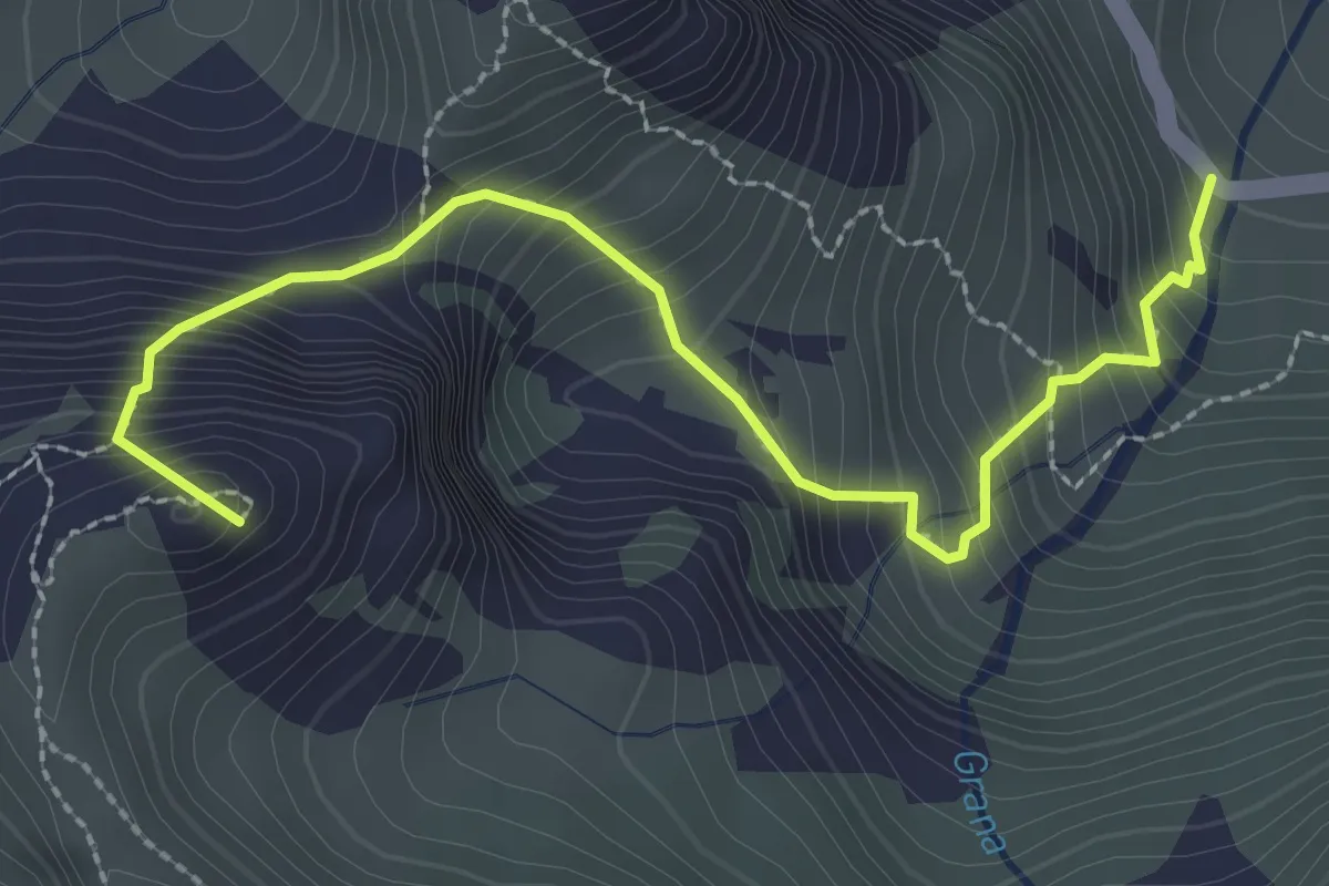
Demanding · Summit
Castelmagno, bivio CNAR54-CNAR54B – Castelmagno, Colle Nais, bivio CNAR28-CNAR54B
3.0 km · ↑ 427 m · 1 h 38 min
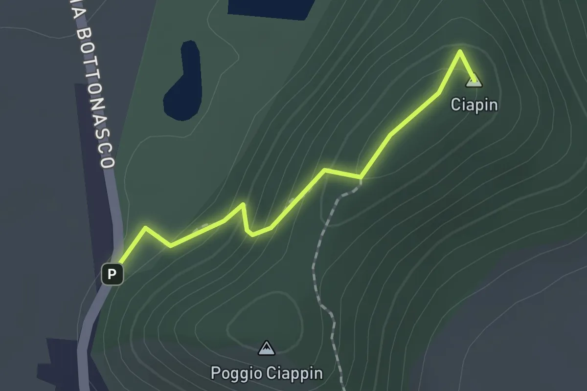
Easy · Summit
Ingresso Bioparco Acquaviva – Bivio R45-R45C, Borgo Paniale
1.5 km · ↑ 94 m · 34 min
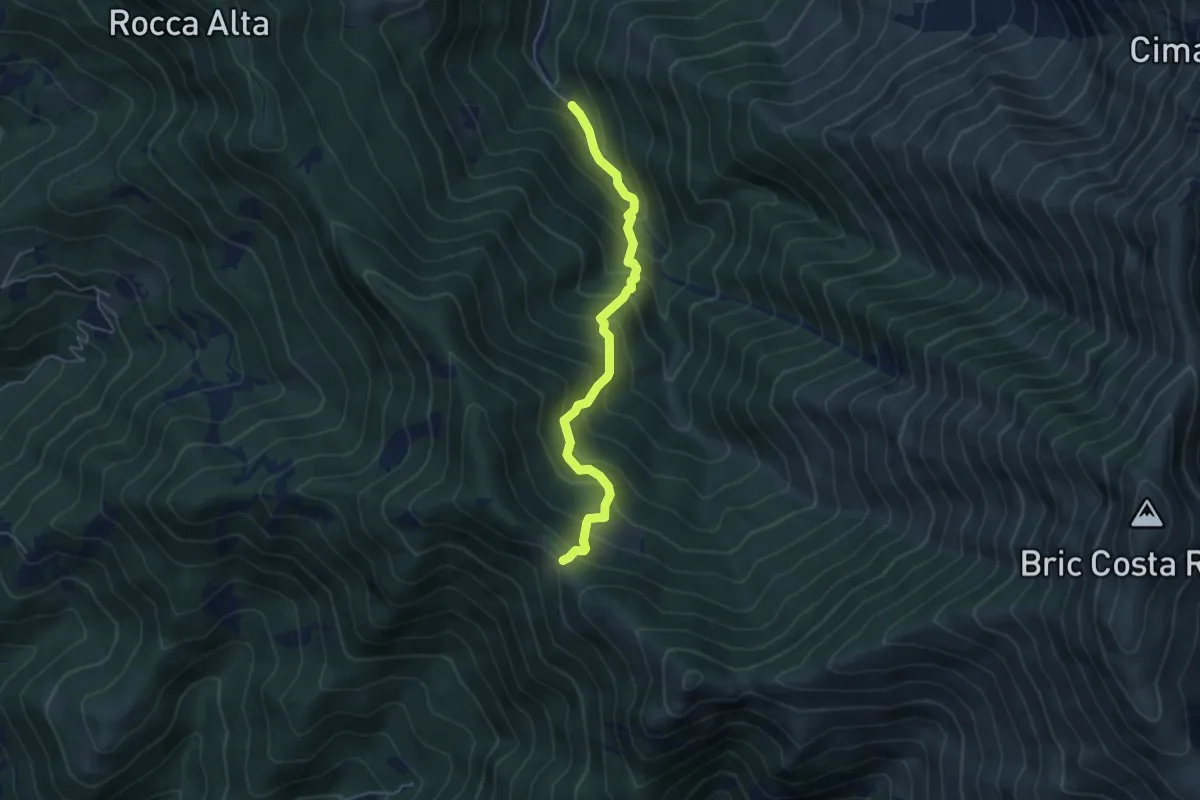
Medium · Trail
I Buscaje – Passo Ceresole, bivio L20-L21
4.9 km · ↑ 570 m · 2 h 24 min
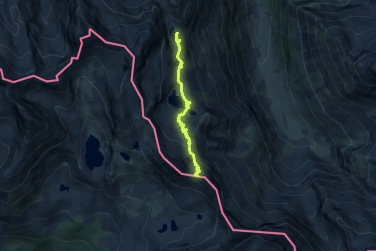
Demanding · Trail
Valdieri, Gias delle Mosche, bivio CNAN10-CNAN16 – Colle Ovest di Fremamorta
6.6 km · ↑ 335 m · 2 h 18 min
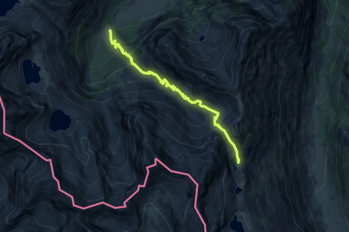
Medium · Trail
Bivio N18-N43, Pian del Valasco – Bivio N16-N18, Lago Sottano di Fremamorta
8.7 km · ↑ 772 m · 3 h 43 min
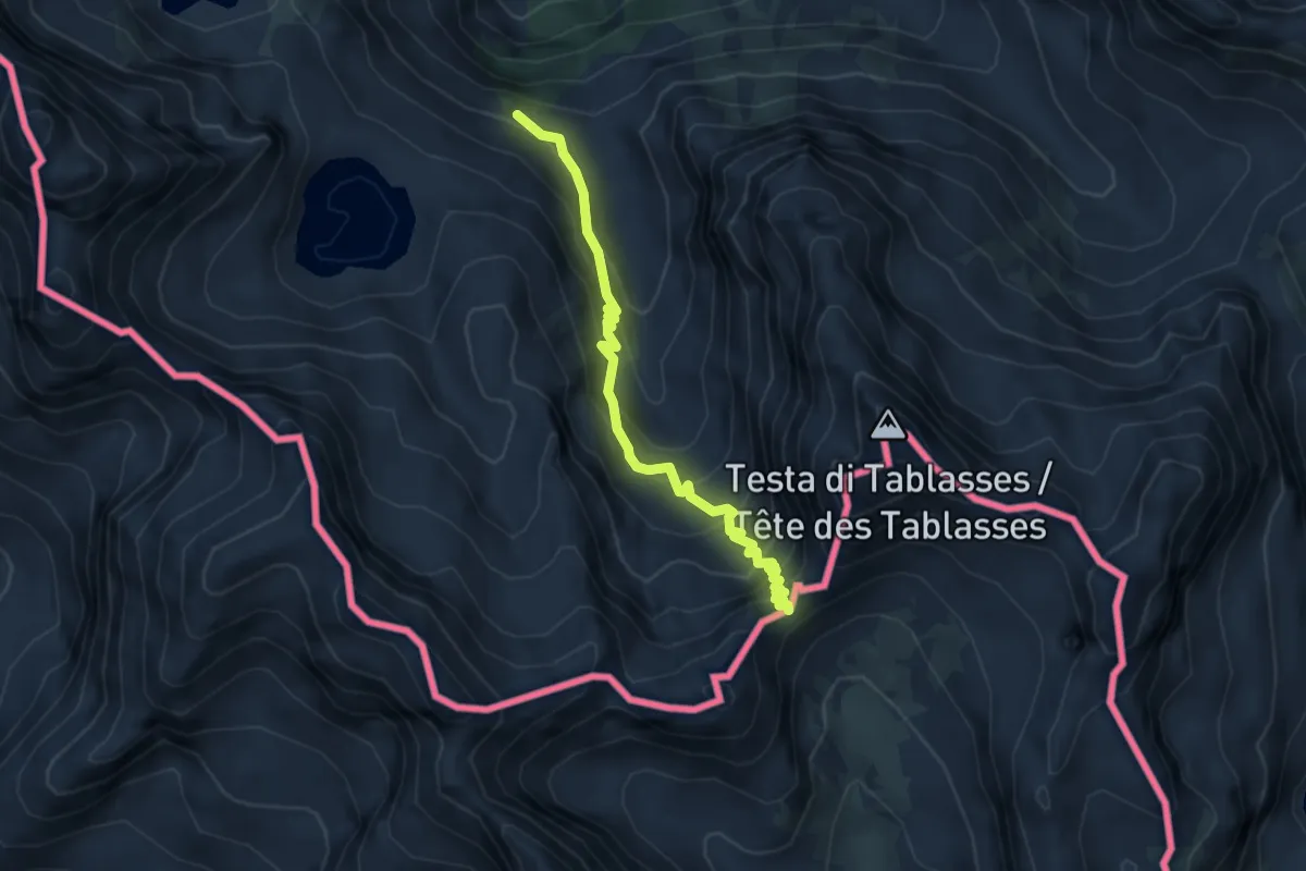
Demanding · Trail
Bivio N20-N22, Vallone di Prefouns – Passo del Prefouns
4.6 km · ↑ 477 m · 2 h 7 min
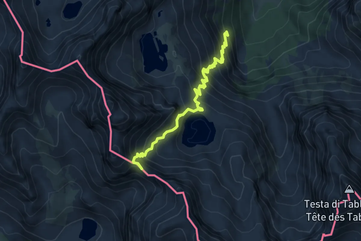
Demanding · Trail
Bivio N18-N21, Pian del Valasco – Passo Nord delle Portette
6.3 km · ↑ 679 m · 2 h 58 min
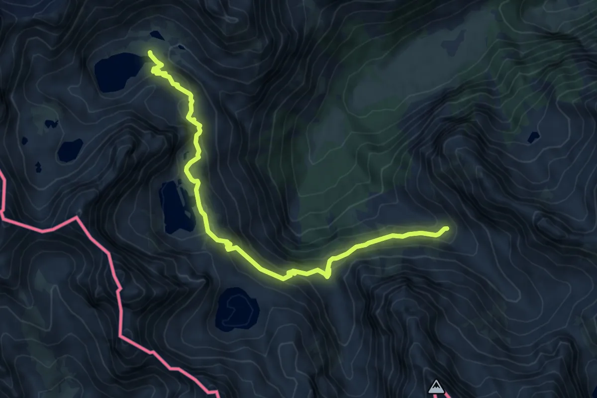
Medium · Trail
Valdieri, bivio CNAN23-CNAN18 – Valdieri, lago inferiore di Valscura, bivio CNAN22-CNAN23-CNAN24
8.8 km · ↑ 502 m · 3 h 9 min
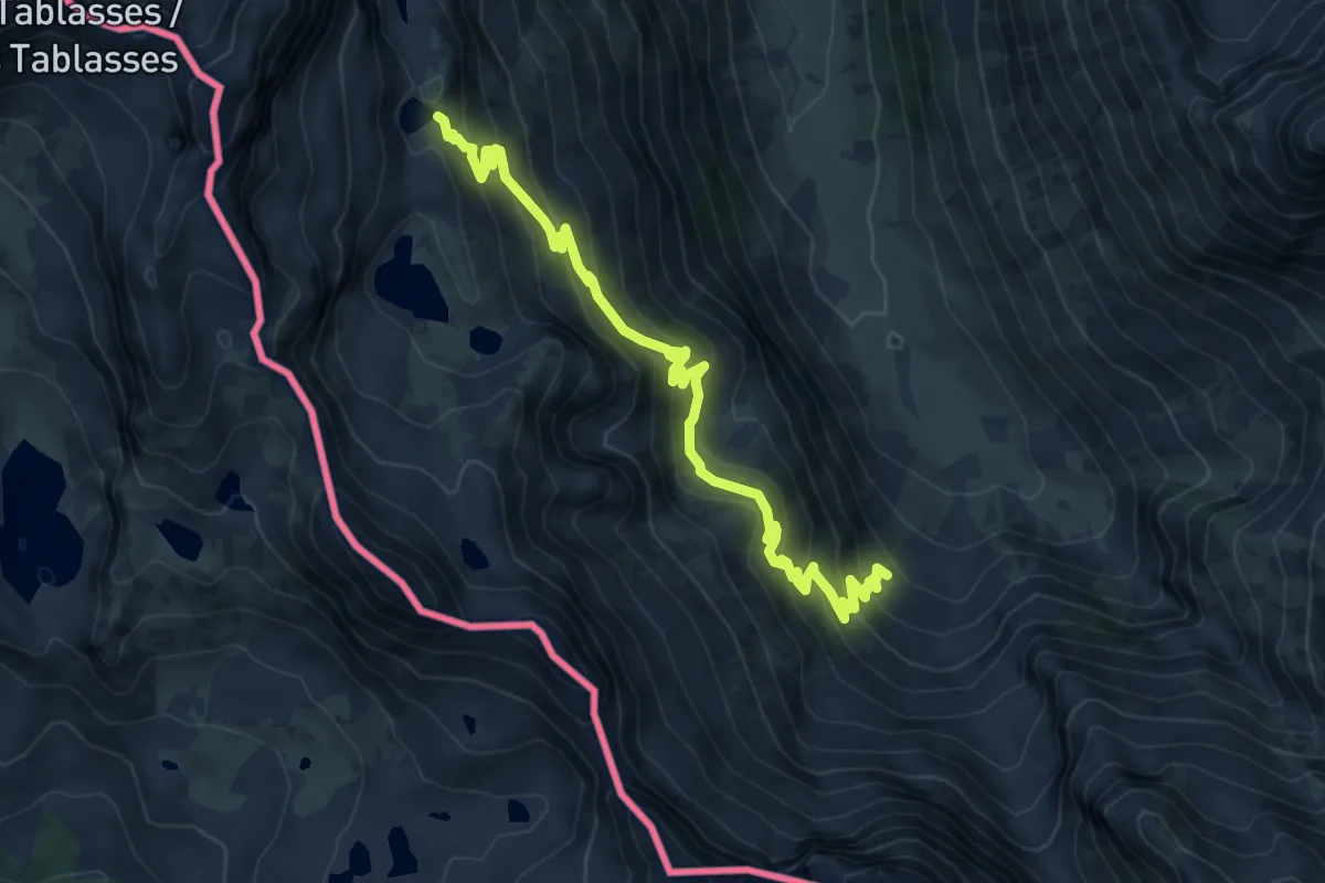
Medium · Trail
Bivio N15-N26, Piano della Casa del Re – Bvio N26-N26, Lago Mediano di Fremamorta
8.1 km · ↑ 629 m · 3 h 16 min
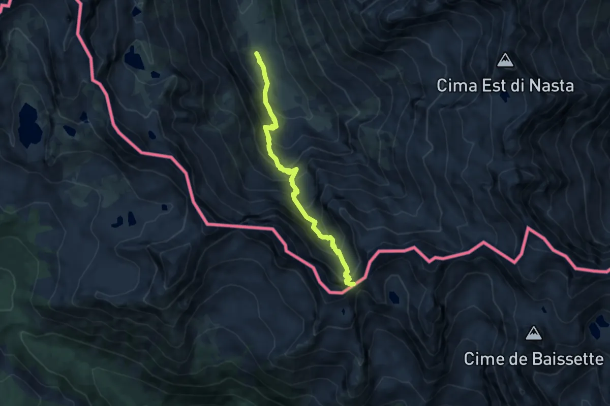
Demanding · Trail
Valdieri, Piano della Casa del Re, bivio CNAN11-CNAN15 – Valdieri, Colle di Ciriegia
8.2 km · ↑ 838 m · 3 h 45 min
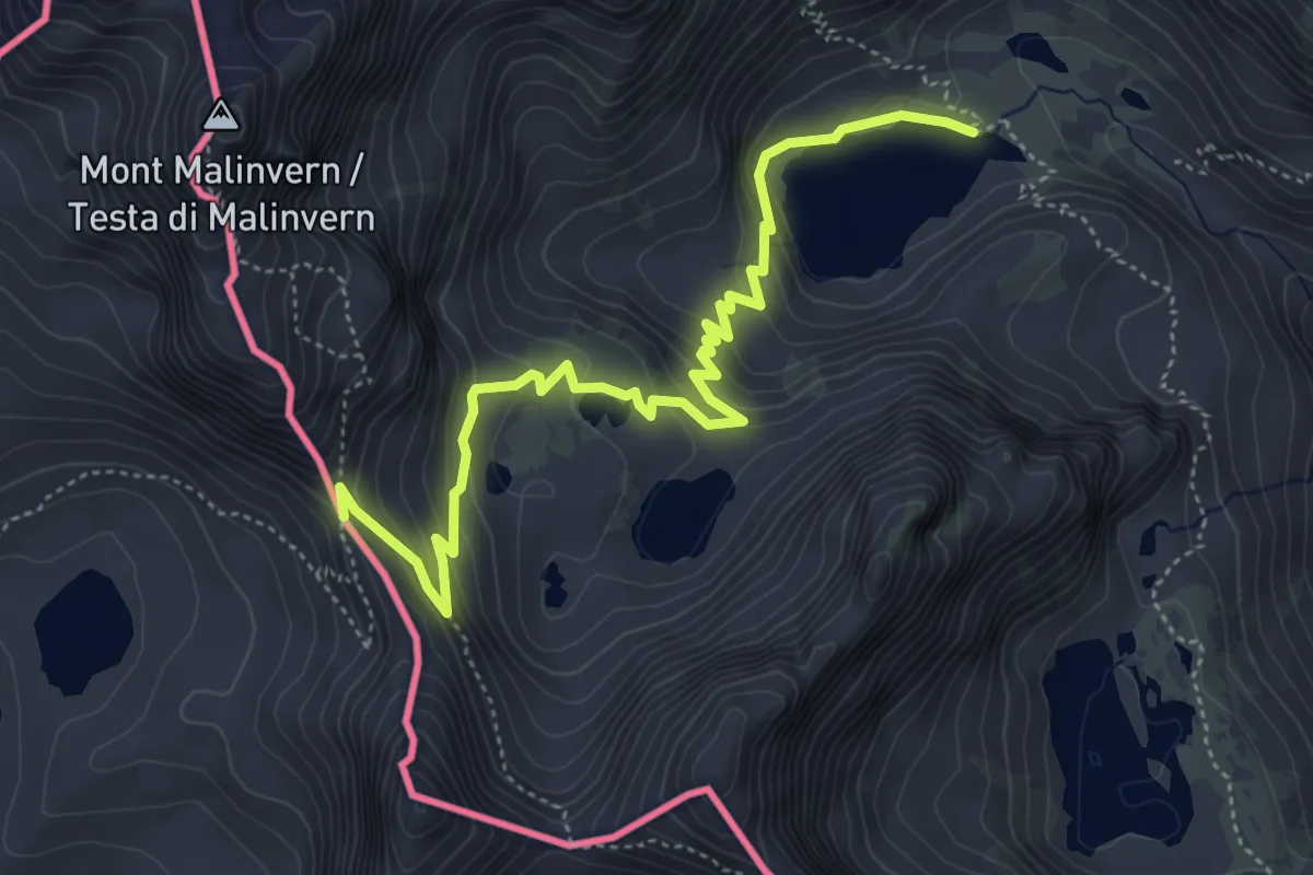
Medium · Trail
Bivio N23-N24, Lago Inferiore di Valscura – Bassa del Druos
5.7 km · ↑ 375 m · 2 h 10 min
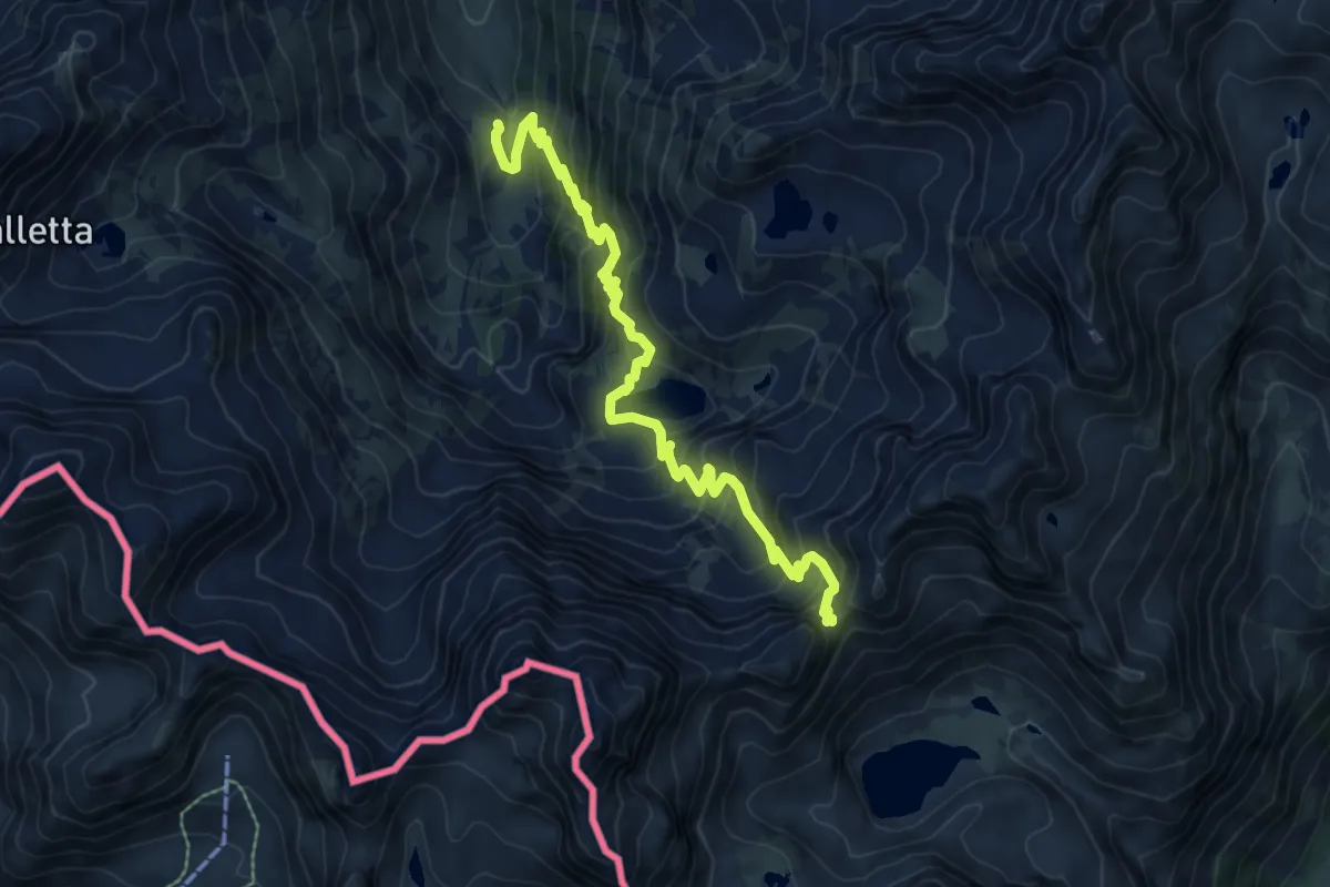
Demanding · Cabin
Vinadio, Rifugio Città di Ceva al Malinvern, bivio P13-P50 – Colletto di Valscura, bivio N23-P13
8.7 km · ↑ 814 m · 3 h 49 min
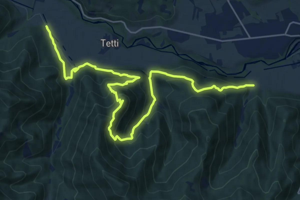
Demanding · Trail
Bivio S58-S01A – Bivio S31-S58
18.6 km · ↑ 1287 m · 7 h 11 min
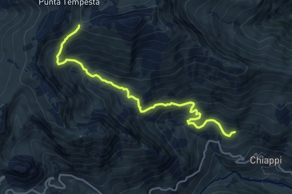
Medium · Trail
Bivio R06-R13 – Colle Intersile, bivio R06-R21-R29
9.3 km · ↑ 689 m · 3 h 42 min
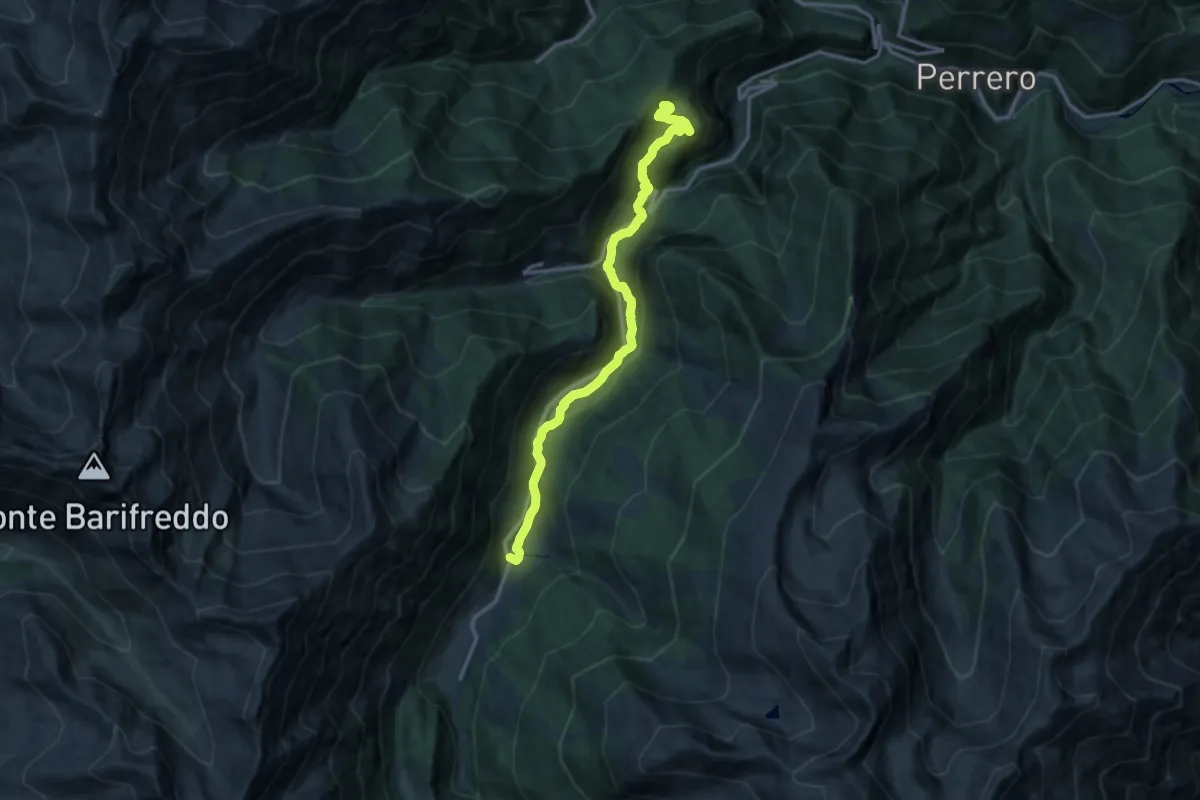
Medium · Trail
Prali, bivio TOS200-TOS224 – Bivio TOS223-TOS224 presso Fontane
14.7 km · ↑ 646 m · 4 h 52 min
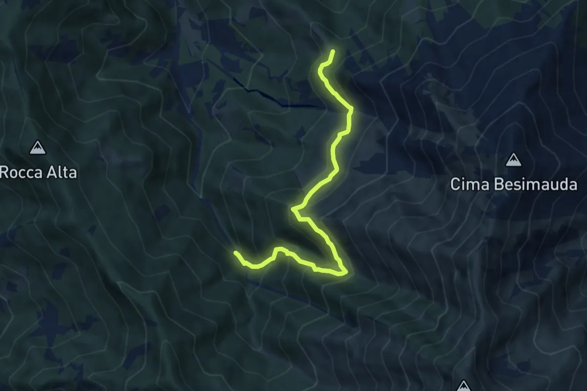
Medium · Trail
Bivio L19-L20, I Buscajé – Bivio L18-L19-L20, Colle della Bercia
8.1 km · ↑ 753 m · 3 h 32 min
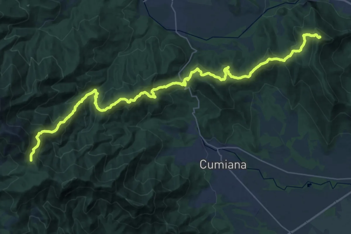
Demanding · Summit
Sangano – Colle Ceresera, bivio TOS008-TOS450
33.8 km · ↑ 2139 m · 12 h 37 min
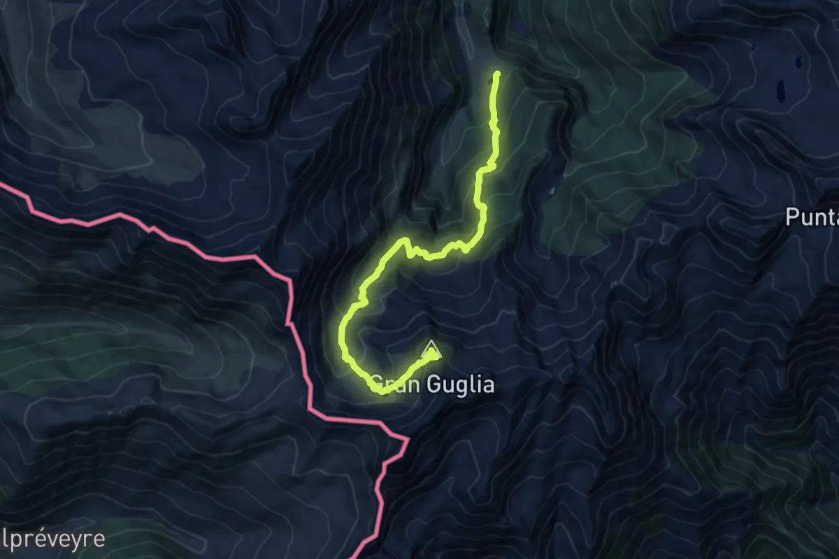
Expert · Summit
Bout du Col – Gran Guglia
14.1 km · ↑ 1091 m · 5 h 41 min
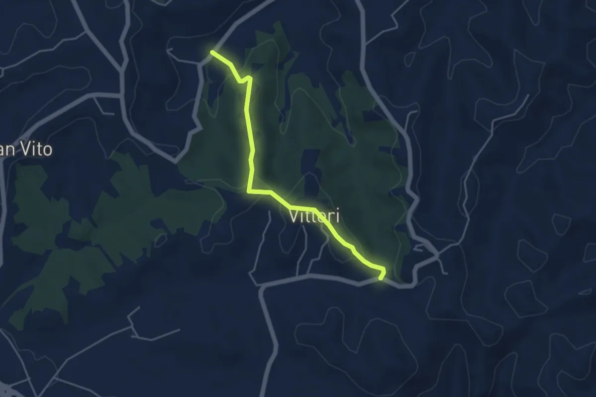
Easy · Trail
Bivio CNC416-CNC401A, SP168, presso borgata Vittori e borgata Ghioni – Bivio CNC416-CNC416A, borgata Valle del Morto
3.9 km · ↑ 108 m · 1 h 9 min
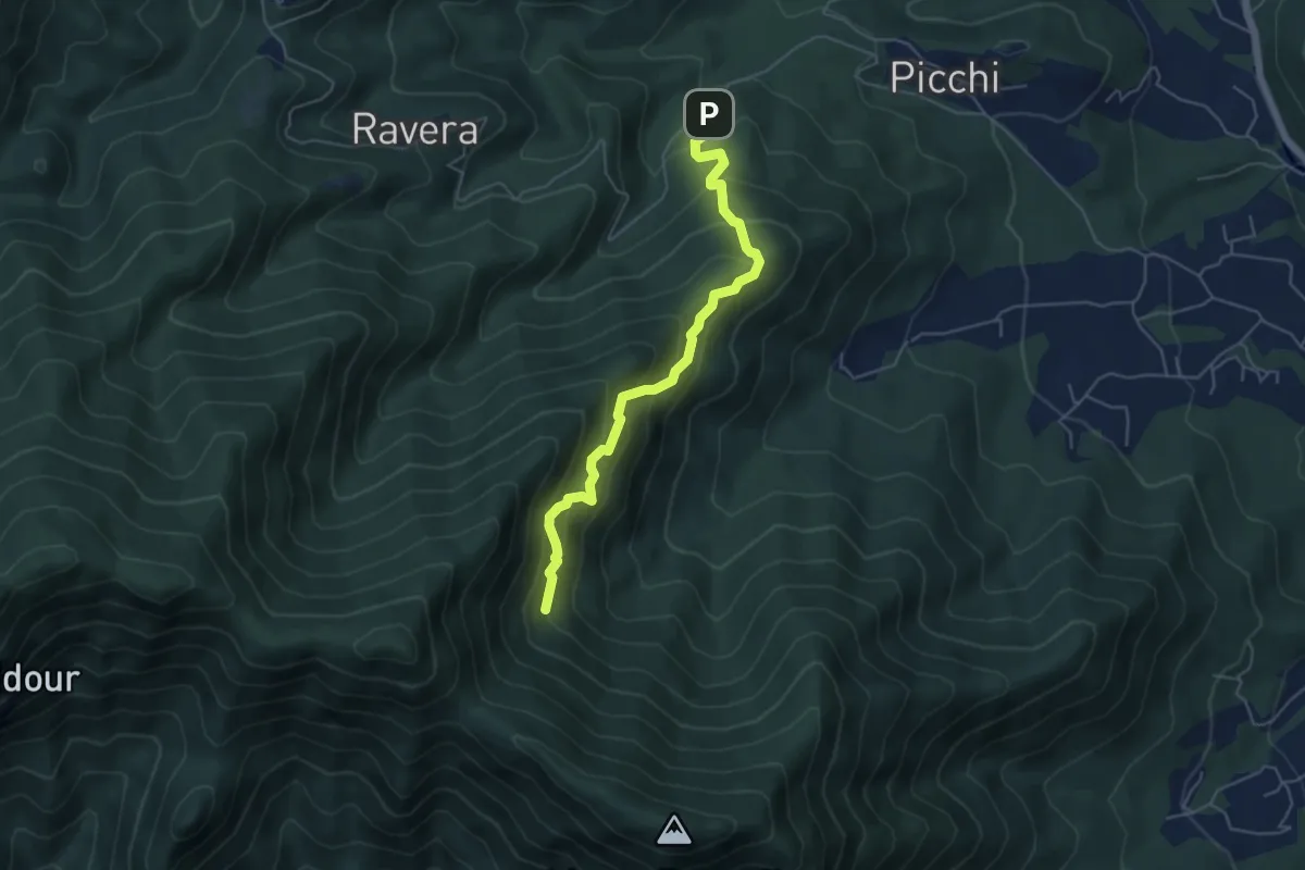
Medium · Trail
Strada Ravera presso vasca AIB – Fontana del Prete, bivio TOS002
5.2 km · ↑ 525 m · 2 h 22 min
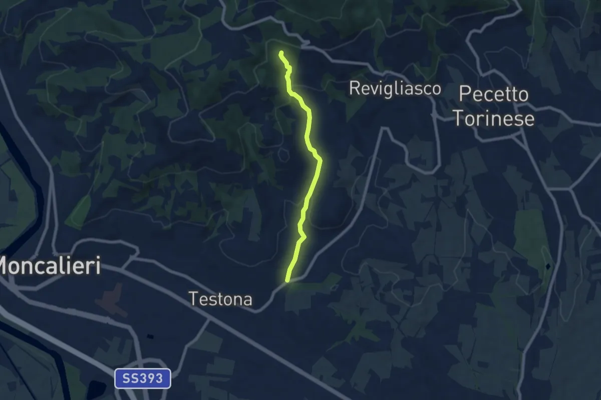
Medium · Trail
Moncalieri Cappella di San Bartolomeo – Moncalieri Località Prà Palet, bivio TOC003-TOC001
5.9 km · ↑ 213 m · 1 h 51 min
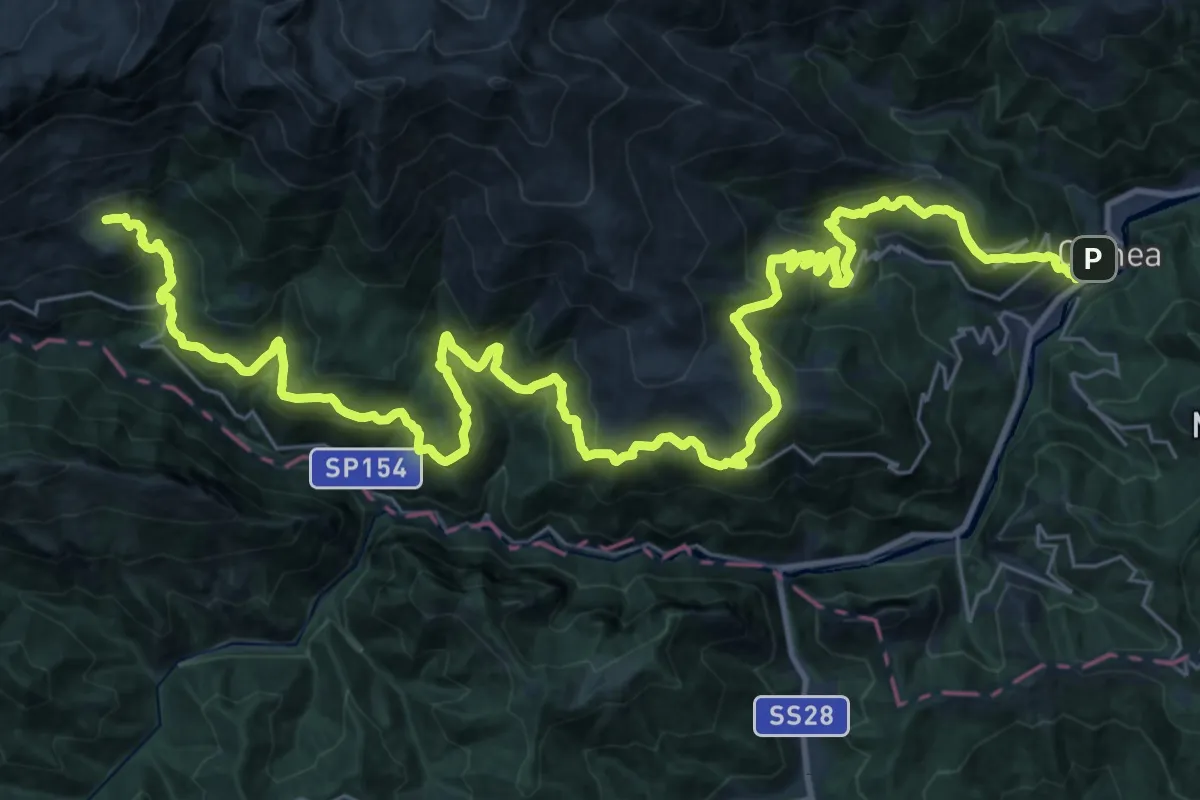
Demanding · Cabin
Ormea – Rifugio Mongioie
22.8 km · ↑ 1633 m · 8 h 51 min
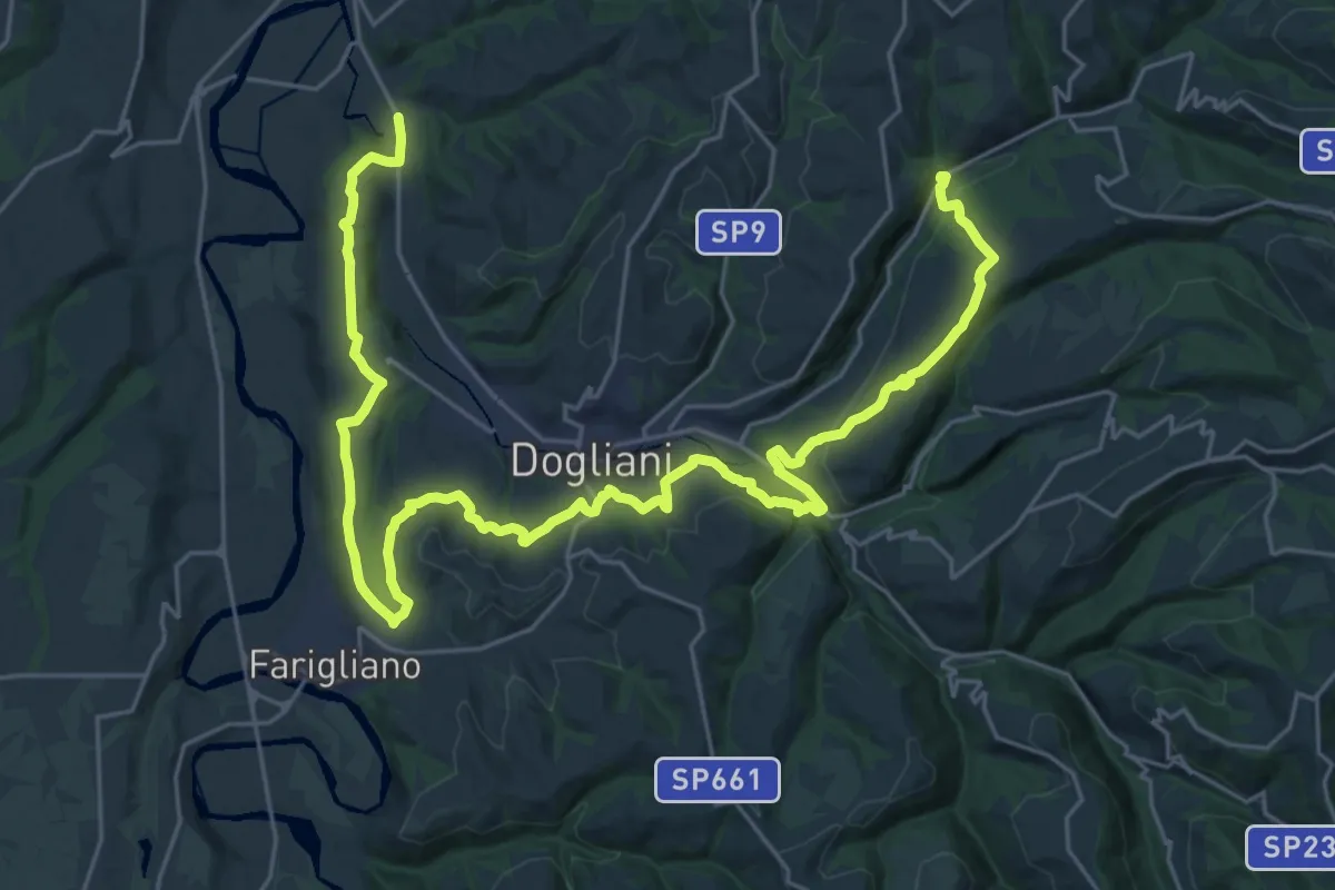
Demanding · Trail
Bivio CNC305-CNC311 – Bivio CNC302-CNC305-CNC311
19.1 km · ↑ 492 m · 5 h 45 min
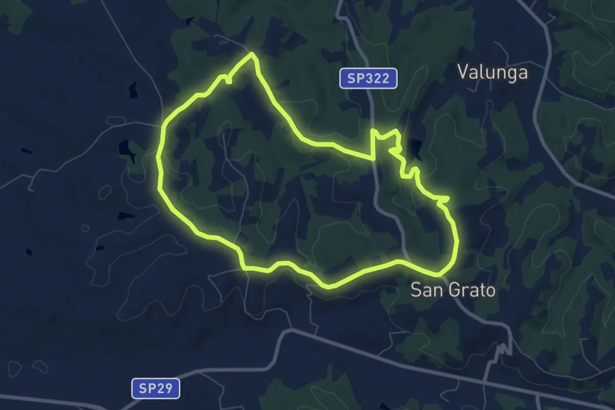
Easy · Trail
San Grato, Bivio CNC413-CNC413A – San Grato, Bivio CNC413-CNC413
8.0 km · ↑ 114 m · 2 h 14 min
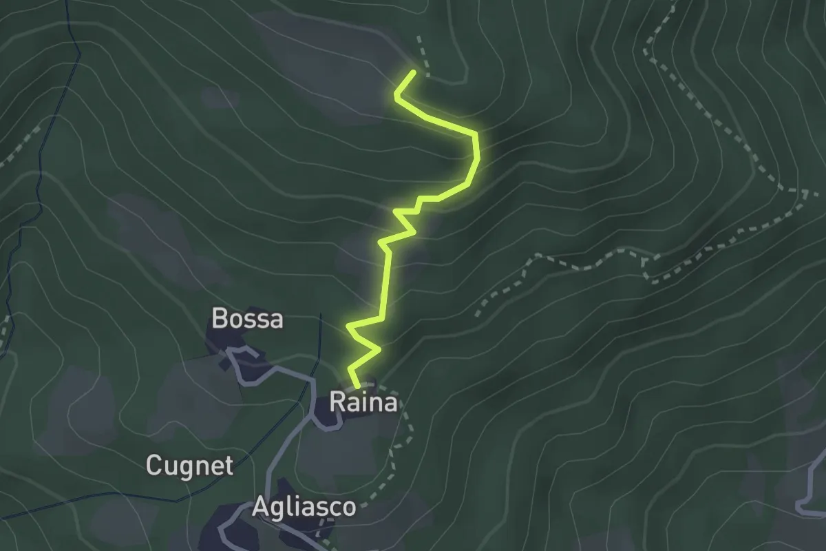
Easy · Trail
Bivio CNAV32-CNAV32A presso Raina – Bivio CNAV32-CNAV32A
2.1 km · ↑ 192 m · 54 min
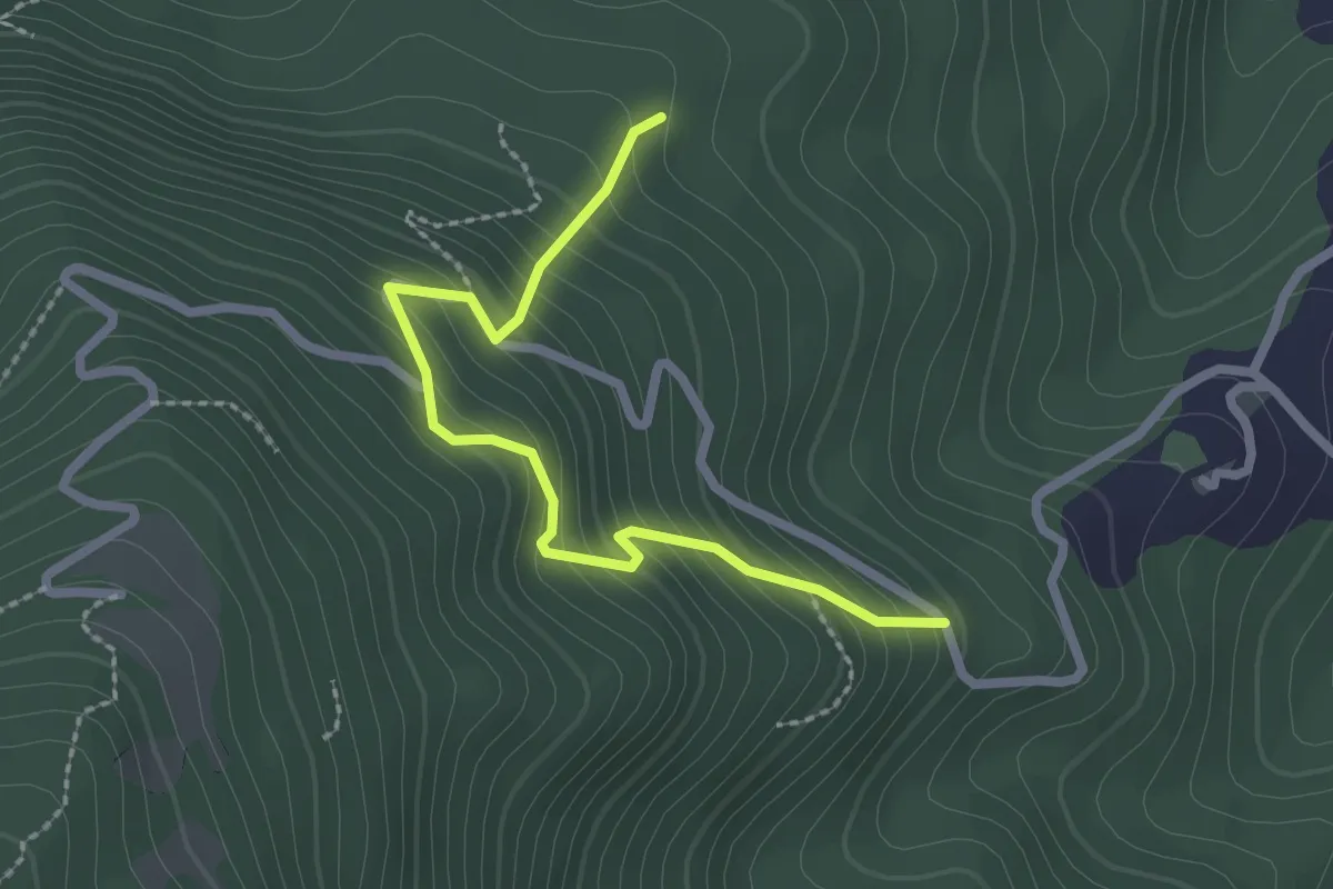
Easy · Trail
Bivio CNAV61-CNAV61B, Pianet – Bivio CNAV61-CNAV61B, Bric Pagno
2.5 km · ↑ 306 m · 1 h 15 min
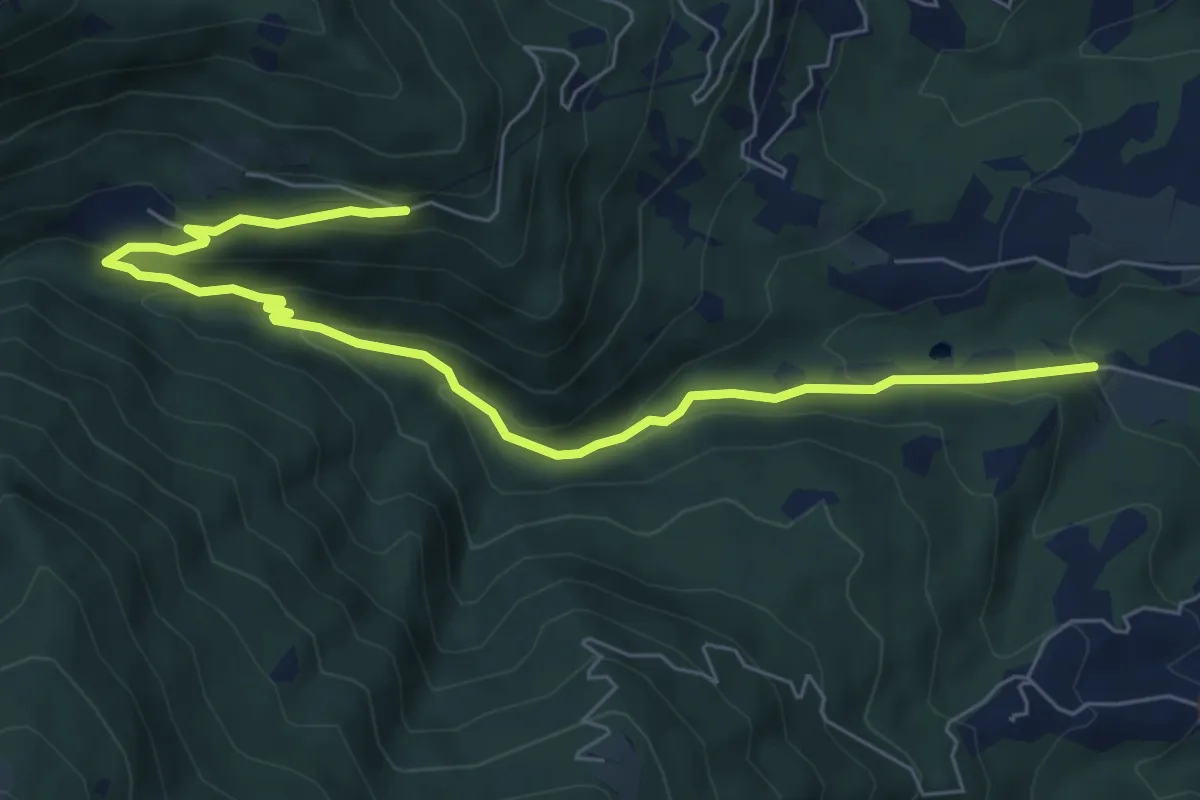
Medium · Trail
Località Bonade – Bivio CNAV60-CNAV62
7.8 km · ↑ 390 m · 2 h 41 min
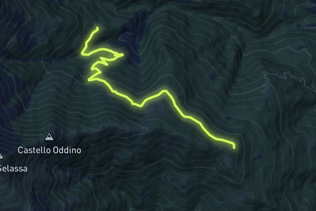
Medium · Trail
Bivio CNAV32-CNAV63 – Bivio CNAV60-CNAV63
10.4 km · ↑ 517 m · 3 h 34 min
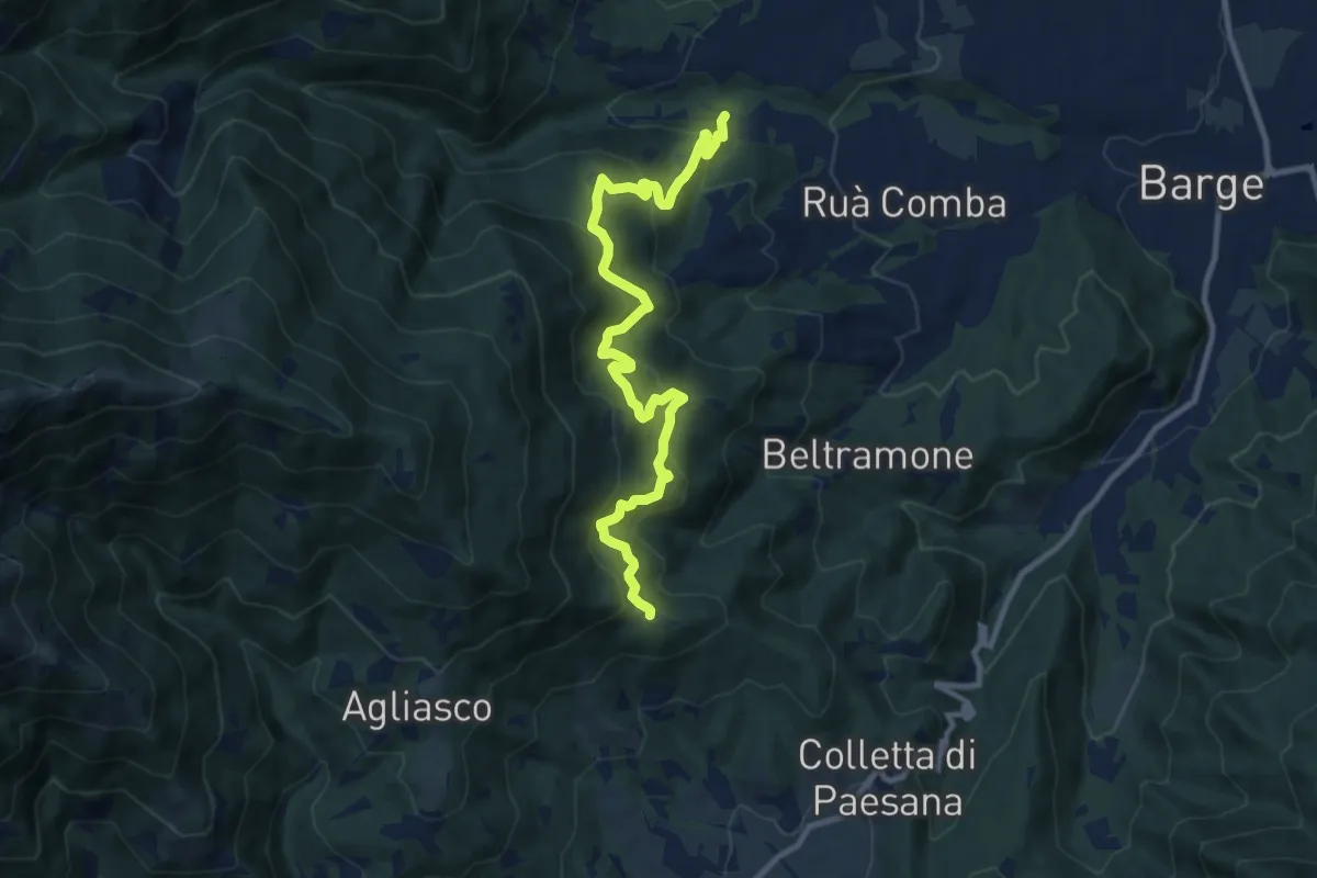
Medium · Trail
Bivio CNAV61-CNAV61A, località Bonade – Bivio CNAV31-CNAV61
11.4 km · ↑ 772 m · 4 h 23 min
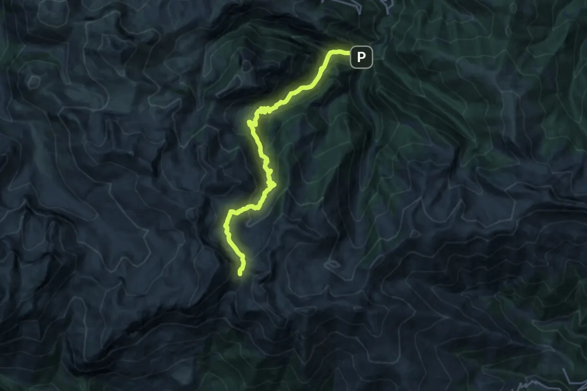
Demanding · Trail
Bivio E01-E04-E17, Ponte Murao – Bivio E01-A07, Bocchino dell'Aseo
19.7 km · ↑ 1459 m · 7 h 48 min
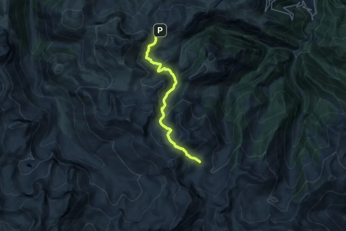
Demanding · Trail
Bivio F03-F05-E09, Colletto località Balma – Bivio E01-E09, Lago Raschera
13.8 km · ↑ 901 m · 5 h 12 min
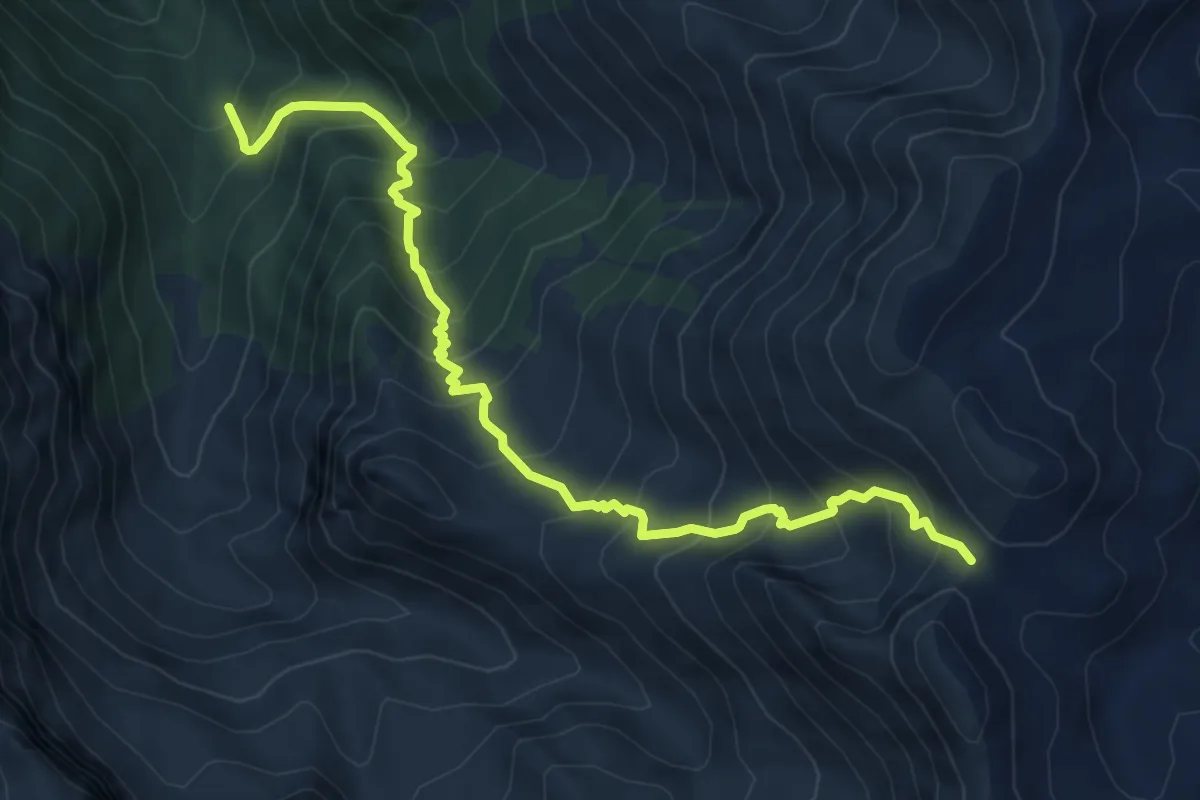
Demanding · Trail
Gias Sottano Sestrera – Porta Sestrera
7.7 km · ↑ 879 m · 3 h 43 min
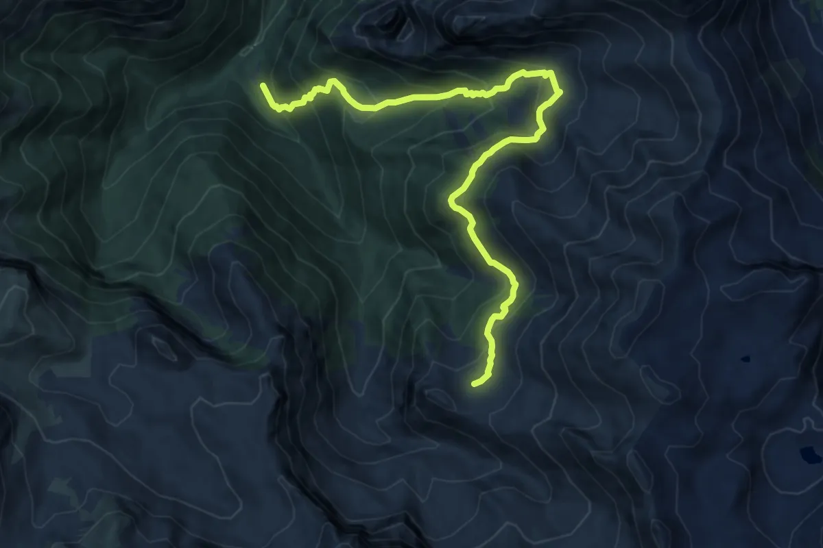
Demanding · Cabin
Pian delle Gorre – Gias Soprano di Sestrera
12.9 km · ↑ 1006 m · 5 h 14 min
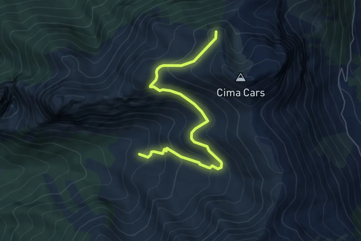
Medium · Summit
Gias Madonna – Casino del Cars
6.4 km · ↑ 486 m · 2 h 34 min
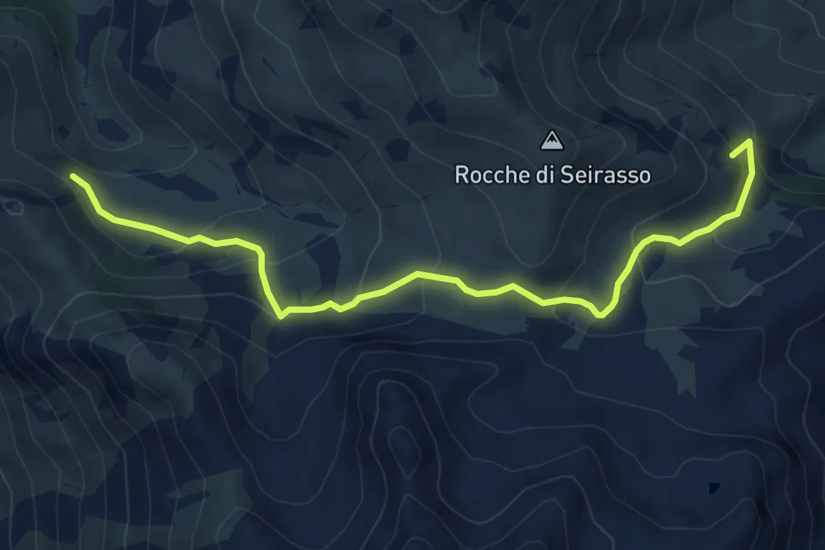
Medium · Summit
Magliano Alpi, Bivio E09-E10, Località Le Vigne – Magliano Alpi, Pian di Male, bivio G02-E10
7.0 km · ↑ 462 m · 2 h 39 min
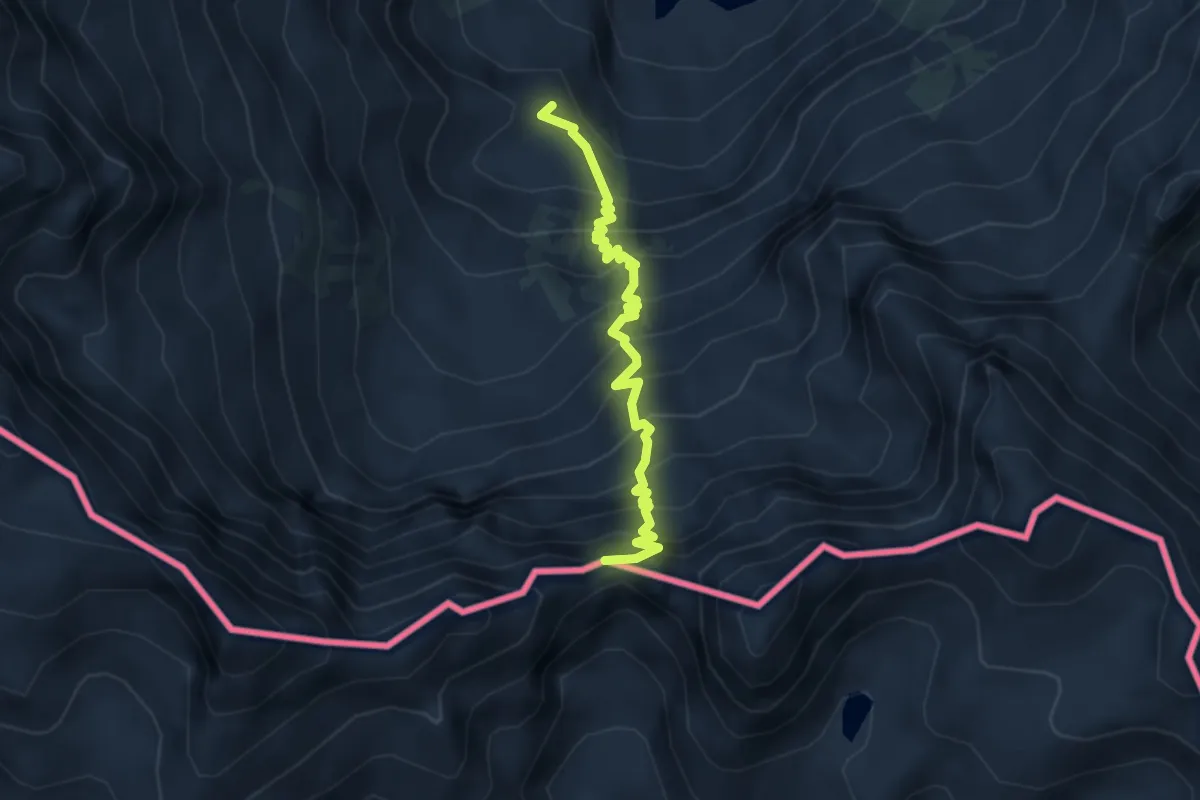
Demanding · Trail
Bivio M28-M08, Rifugio Genova-Figari – Passo della Rovina
3.9 km · ↑ 529 m · 2 h 4 min
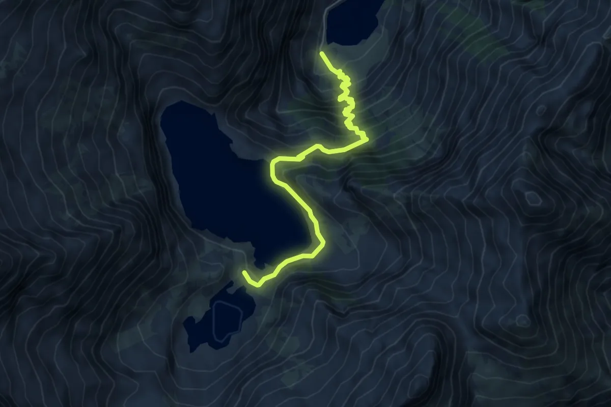
Medium · Cabin
Entracque, lago della Rovina – Entracque, rifugio Genova-Figari, bivio CNAM08, CNAM28
6.5 km · ↑ 625 m · 2 h 53 min
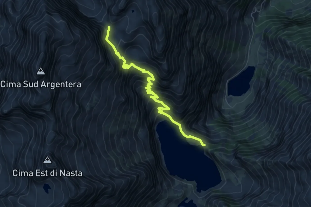
Medium · Trail
Entracque, diga del Chiotas, bivio CNAM08, CNAM09 – Entracque, colle del Chiapous, bivio CNAM09, CNAN08
8.3 km · ↑ 696 m · 3 h 27 min
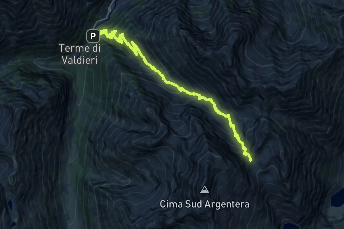
Demanding · Trail
Terme di Valdieri – Bivio N08-M09, Colle del Chiapous
16.8 km · ↑ 1341 m · 6 h 52 min
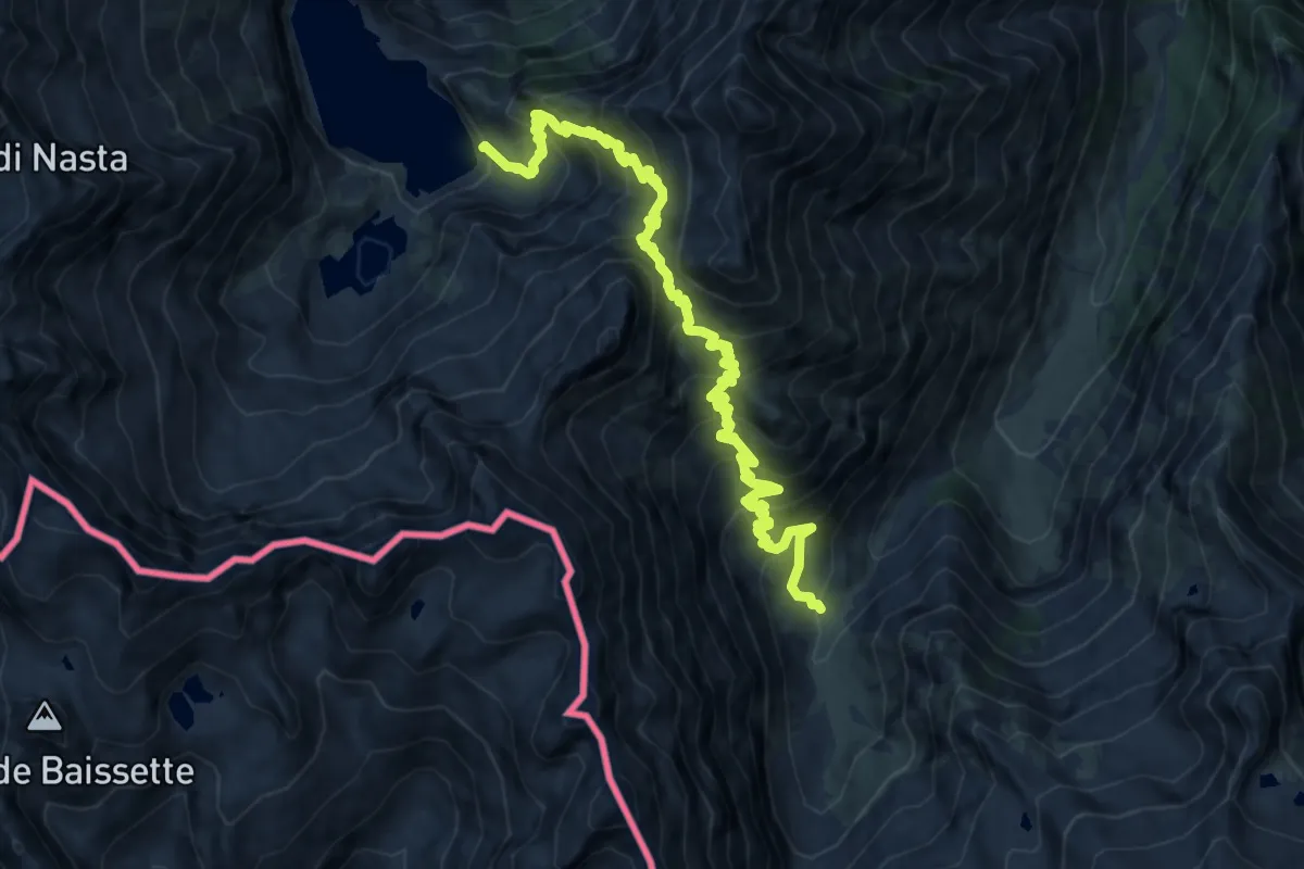
Demanding · Cabin
Bivio M25-M10, Rifugio Ellena-Soria – Bivio M10-M08, Lago Brocam
13.5 km · ↑ 1328 m · 6 h 4 min
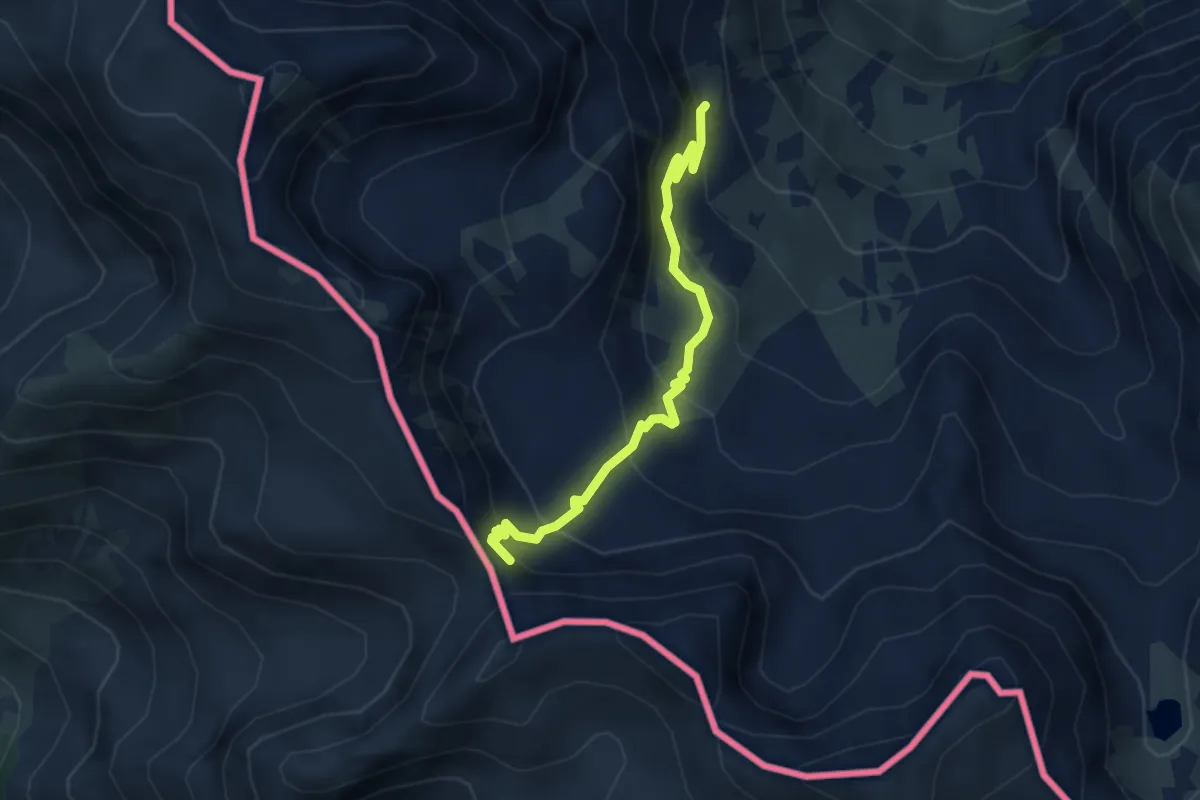
Medium · Trail
Bivio P23-P24, San Bernolfo – Passo di Barbacana
3.8 km · ↑ 282 m · 1 h 30 min
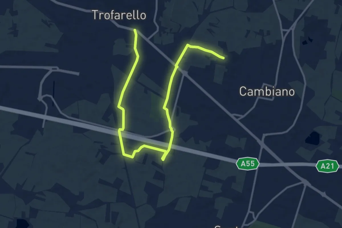
Medium · Trail
Via Lej, Trofarello – Cappella Malmontea, Cambiano
12.7 km · ↑ 65 m · 3 h 9 min
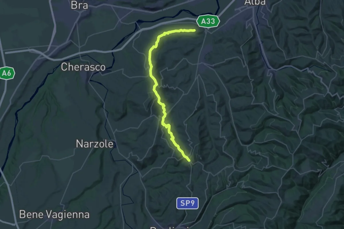
Medium · Trail
Roddi, bivio CNC301, CNC302 – Monforte d'Alba
16.4 km · ↑ 625 m · 5 h 20 min
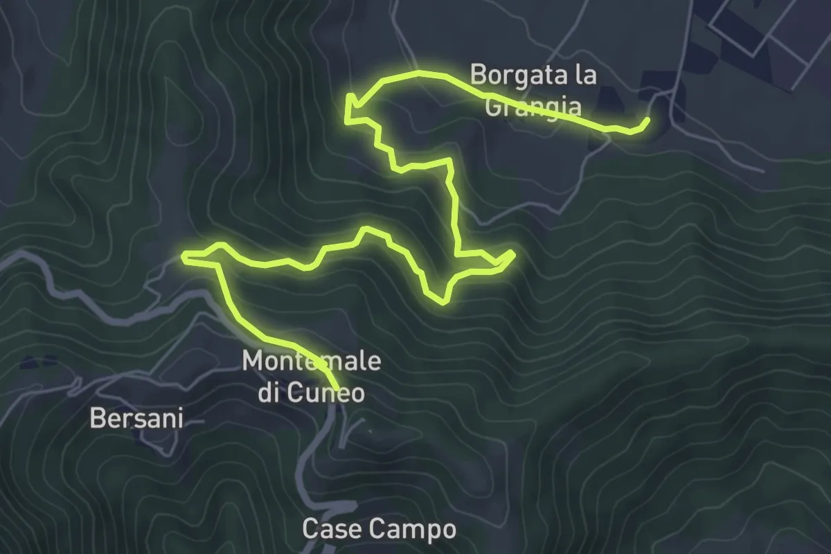
Medium · Trail
Bivio R37- R45, Montemale di Cuneo – Borgata Santa Lucia
8.3 km · ↑ 403 m · 2 h 50 min
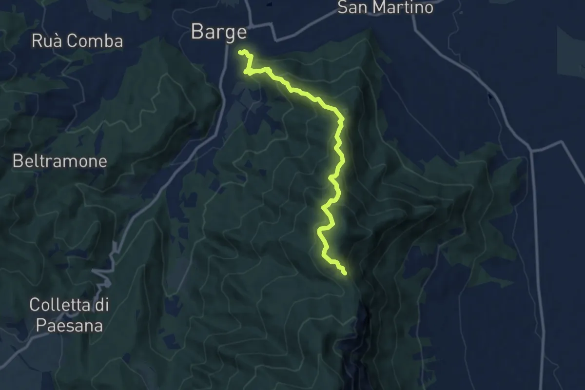
Medium · Trail
Barge – San Giacomo
9.0 km · ↑ 702 m · 3 h 39 min
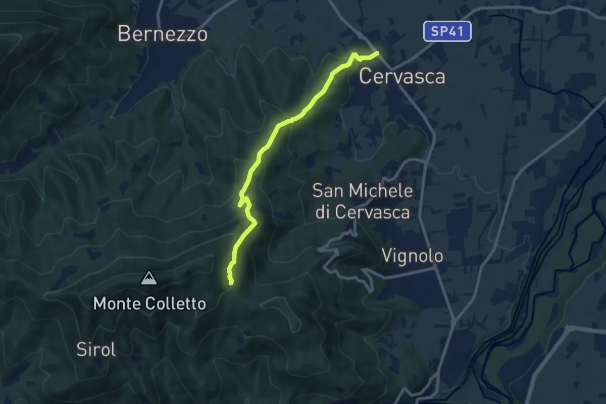
Medium · Trail
Cervasca – Tetto Pragudin
7.7 km · ↑ 473 m · 2 h 51 min