Trails in Italy
25,219 hiking trails, each with its route, climb, walking time and grade.
All trails, page 362 of 526
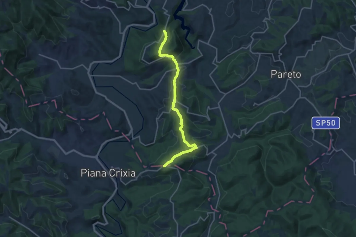
Medium · Trail
Spigno Monferrato, bivio ALA574-ALA578 – Spigno Monferrato, Bric dei Cheilini
12.8 km · ↑ 415 m · 3 h 55 min
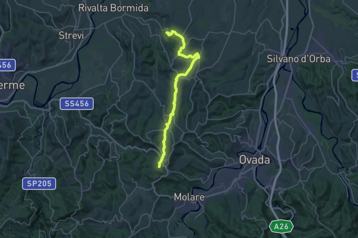
Demanding · Trail
Rivalta Bormida, Frazione Ricciotti – Cremolino, Cascina Breie, bivio ALA521-ALA522
21.9 km · ↑ 305 m · 5 h 50 min
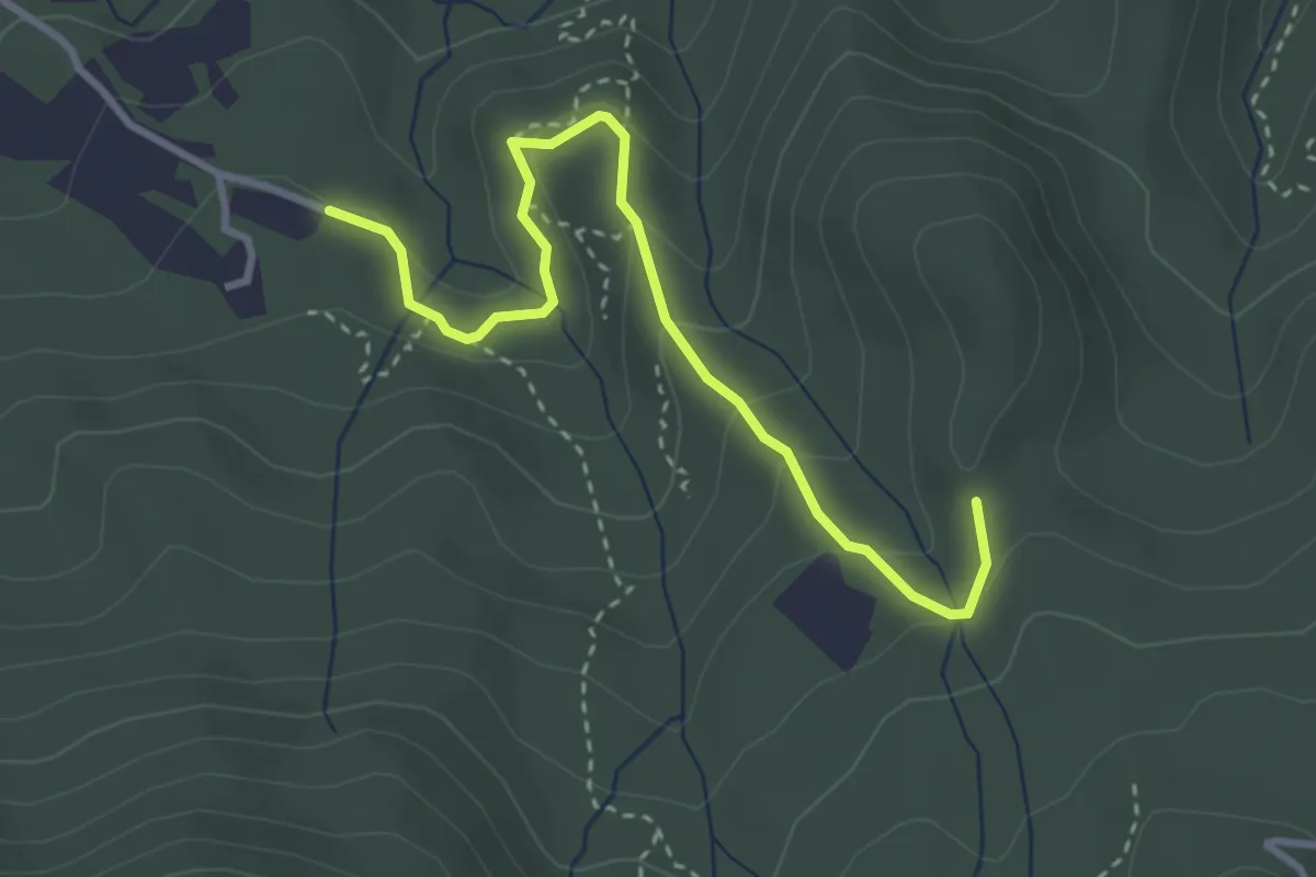
Easy · Trail
Cassinelle, Case Libia, bivio ALA557A-ALA561A – Molare, presso Bric Sternato, bivio AL557A-ALA557
3.6 km · ↑ 148 m · 1 h 10 min
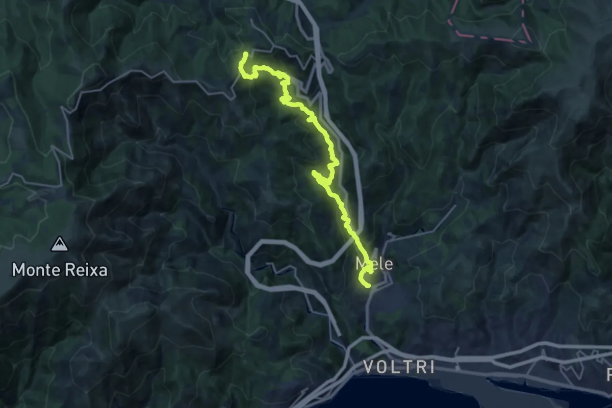
Demanding · Trail
Fondocrosa – Valico di Favin
18.4 km · ↑ 1050 m · 6 h 37 min
Medium · Trail
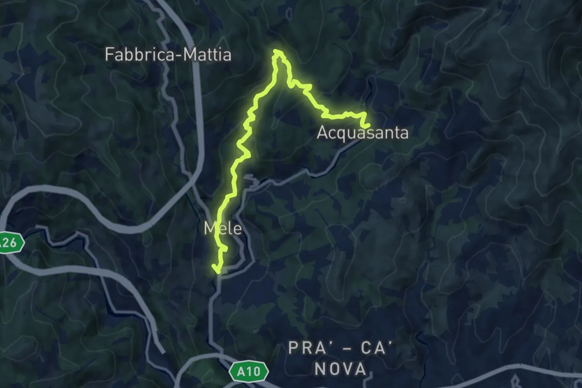
Fondocrosa – Santuario dell'Acquasanta
11.5 km · ↑ 570 m · 3 h 58 min
Medium · Summit
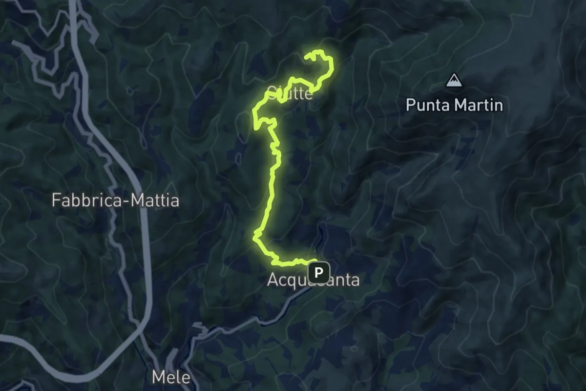
Santuario dell'Acquasanta – Pietra di Issel
11.1 km · ↑ 569 m · 3 h 52 min
Medium · Trail
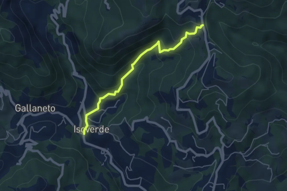
Isoverde – Pietralavezzara
4.3 km · ↑ 351 m · 1 h 46 min
Medium · Trail
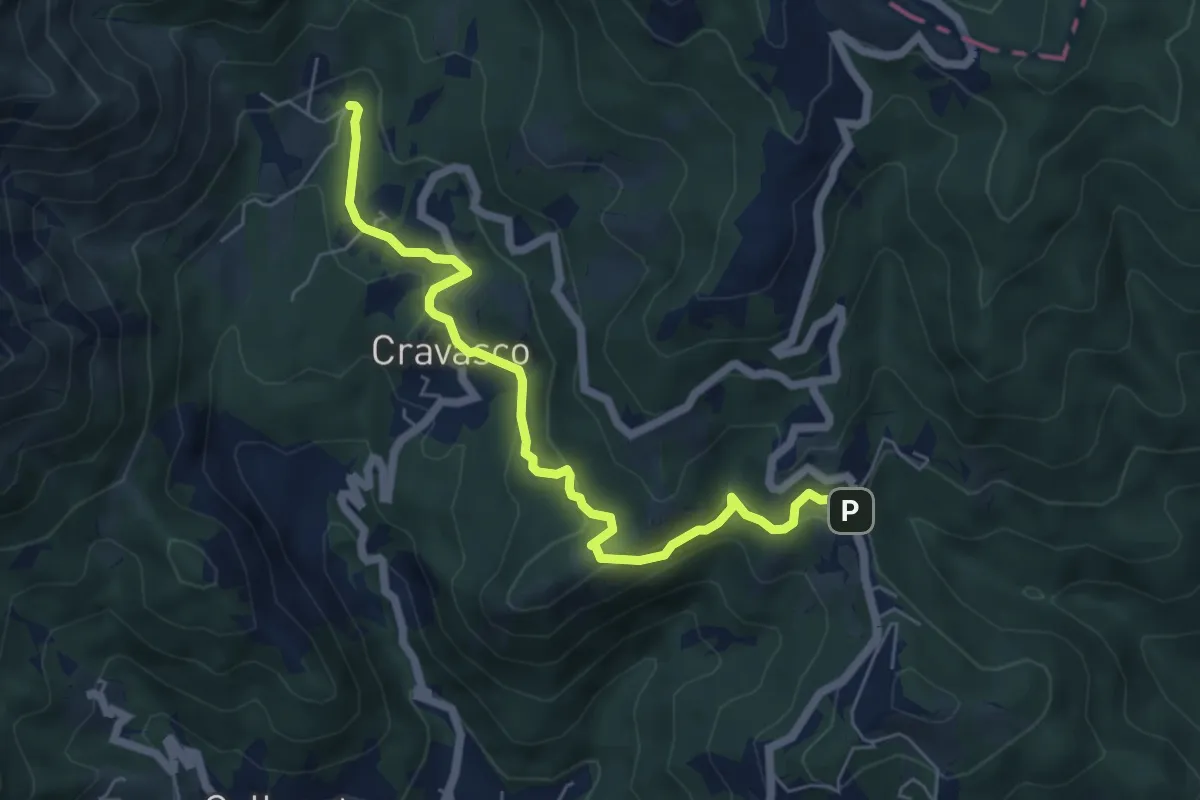
Pietralavezzara – Cravasco (Via Mea)
6.3 km · ↑ 269 m · 2 h 4 min
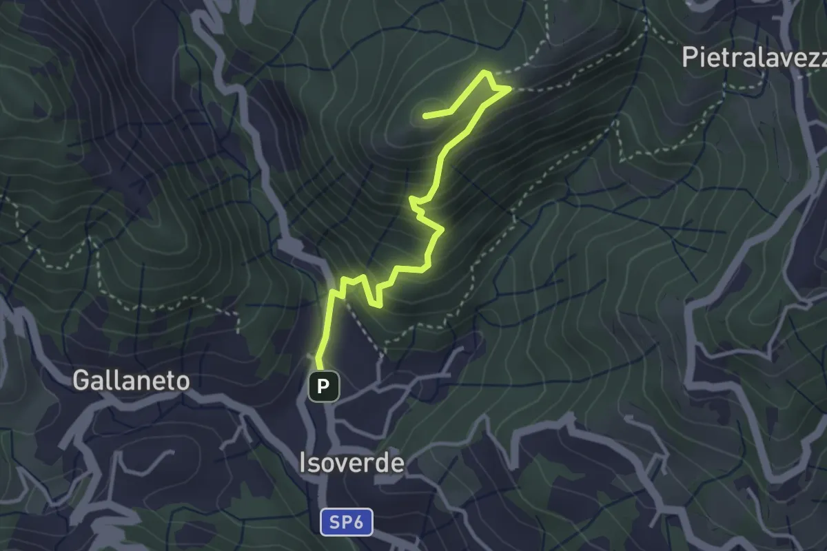
Medium · Summit
Isoverde – Monte Carlo
3.3 km · ↑ 318 m · 1 h 28 min
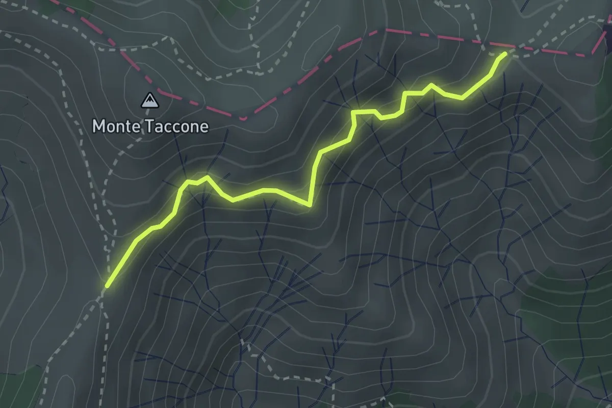
Medium · Trail
Prà Lain – Prou Perseghin
2.7 km · ↑ 302 m · 1 h 18 min
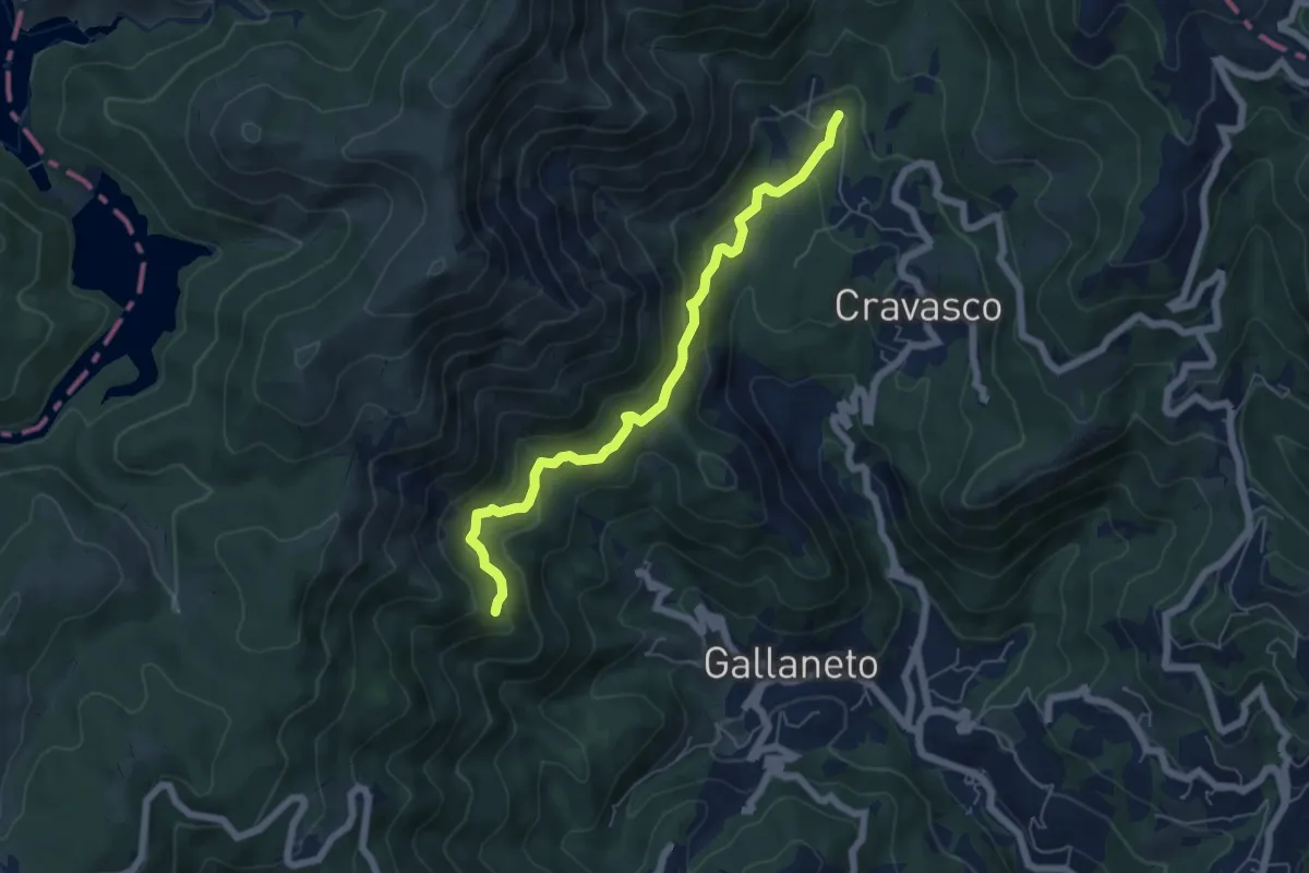
Medium · Trail
Cravasco (Via Mea) – Pizzo Guercio
6.0 km · ↑ 288 m · 2 h 3 min
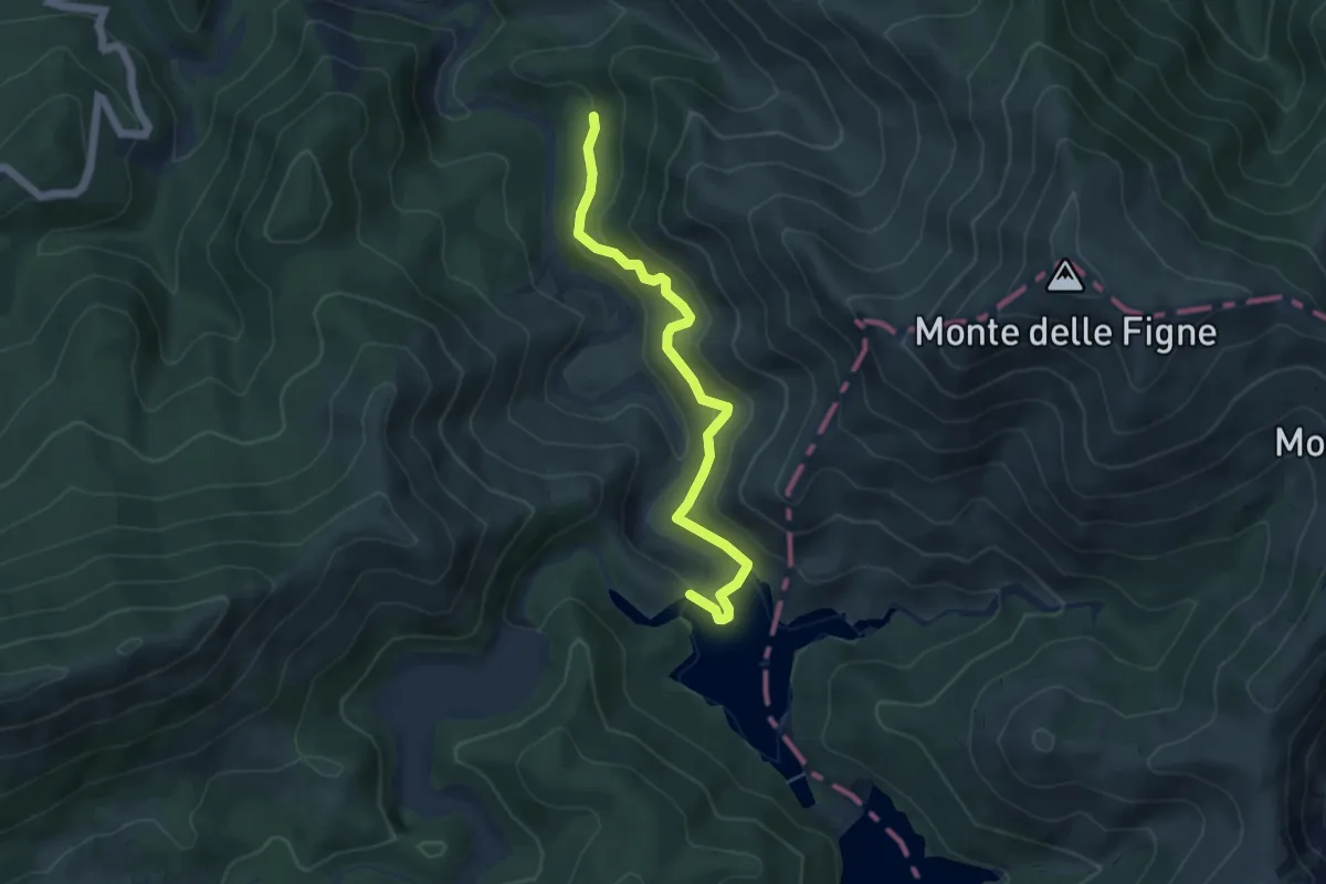
Medium · Trail
Bosio, Cascina Preadoga, bivio ALA407-ALA422 – Laghi del Gorzente, bivio ALA408-ALA422
5.1 km · ↑ 305 m · 1 h 52 min
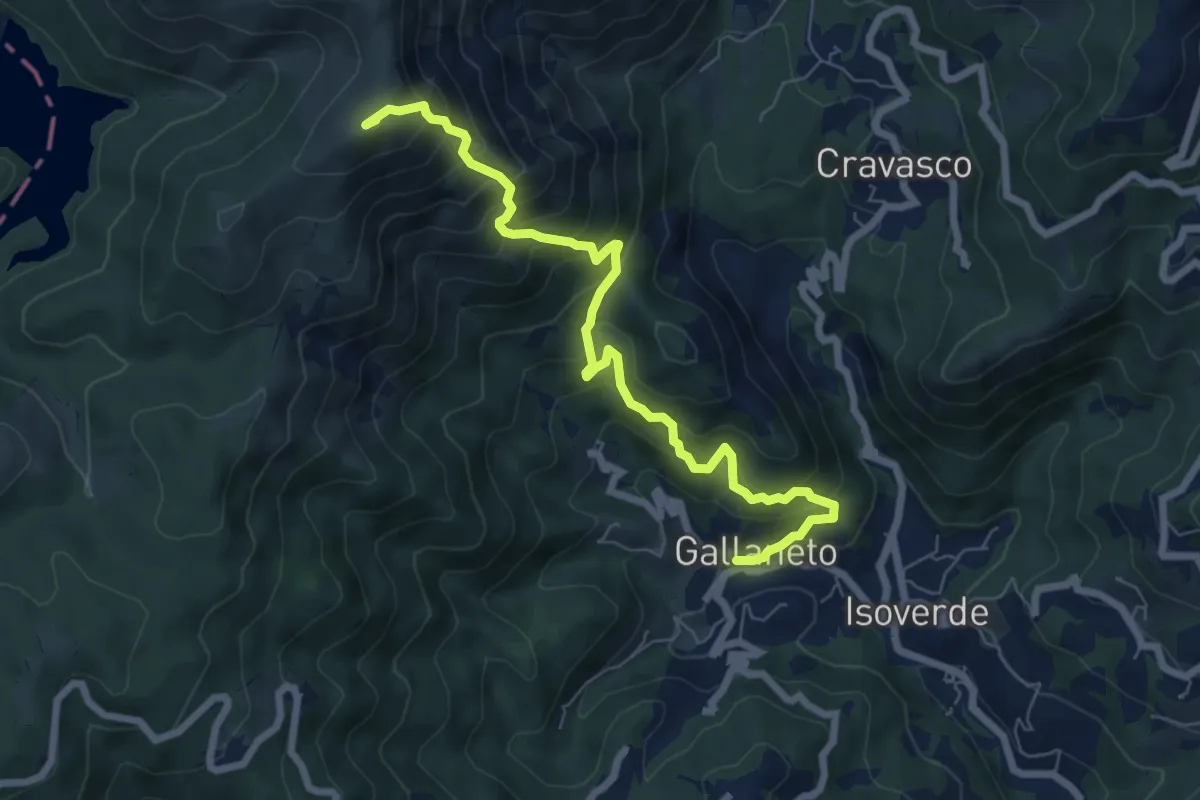
Demanding · Summit
Gallaneto – AVML
7.8 km · ↑ 803 m · 3 h 34 min
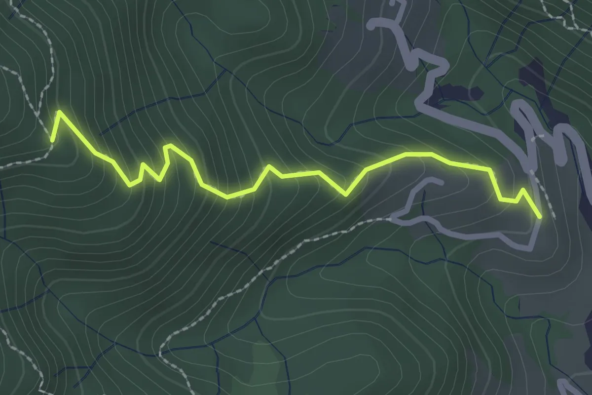
Medium · Trail
Campori – Pizzo Guercio
2.3 km · ↑ 253 m · 1 h 6 min
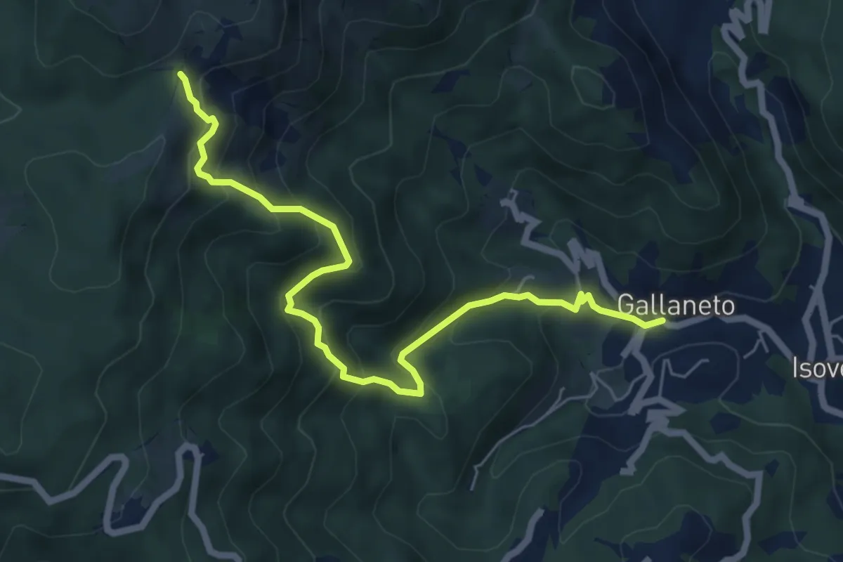
Medium · Trail
Gallaneto – Passo Prato Leone (AVML)
6.6 km · ↑ 585 m · 2 h 49 min
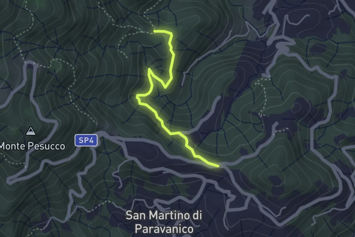
Medium · Trail
Larvego – Scorticata
3.3 km · ↑ 174 m · 1 h 10 min
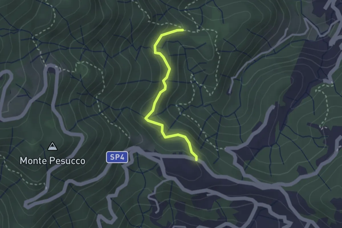
Medium · Trail
Caffarella – Scorticata
2.2 km · ↑ 163 m · 53 min
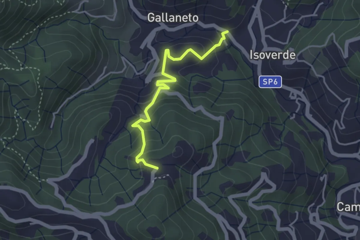
Medium · Trail
Gallaneto (N.S. delle Grazie) – Case Giutta
3.5 km · ↑ 229 m · 1 h 19 min
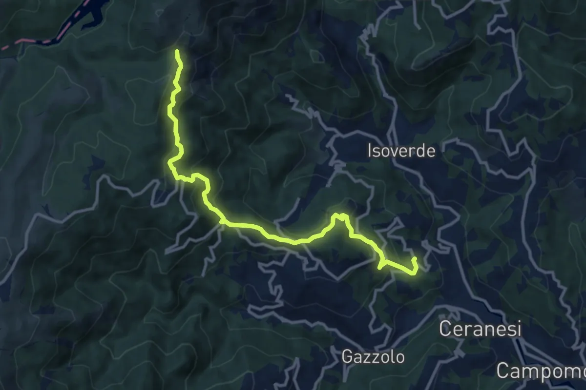
Medium · Trail
Santo Stefano di Larvego – Passo Prato Leone (AVML)
10.7 km · ↑ 639 m · 3 h 54 min
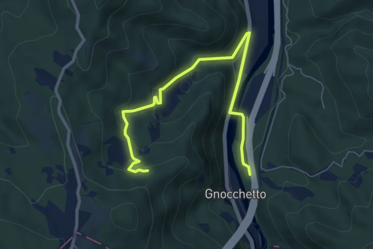
Easy · Trail
Ovada, presso Torrente Stura, bivio ALA310-ALA310A – Ovada, C. Sciancapello, bivio ALA310-ALA310A
6.2 km · ↑ 274 m · 2 h 4 min
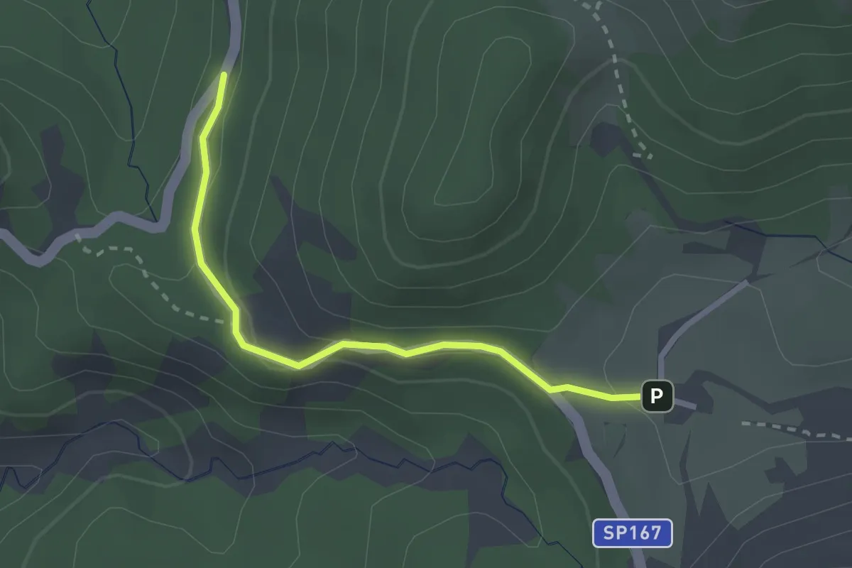
Easy · Trail
Capanne di Marcarolo, località Gli Olmi, bivio ALA413-ALA423 – Capanne Superiori
2.4 km · ↑ 79 m · 45 min
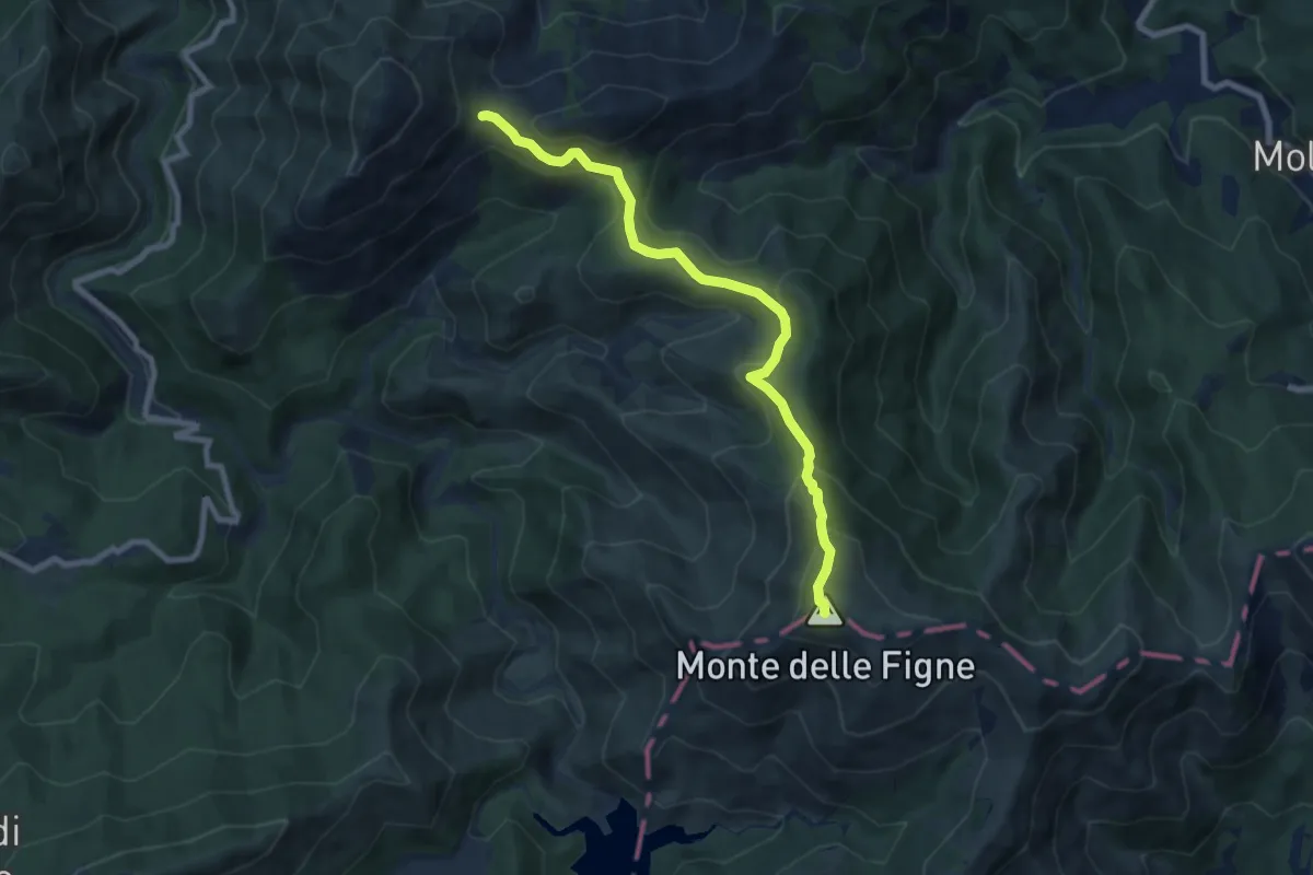
Medium · Summit
Monte delle Figne, bivio ALA404-ALA4E1A – Bivio ALA404-ALA405, presso Passo Dagliola
8.3 km · ↑ 470 m · 2 h 58 min
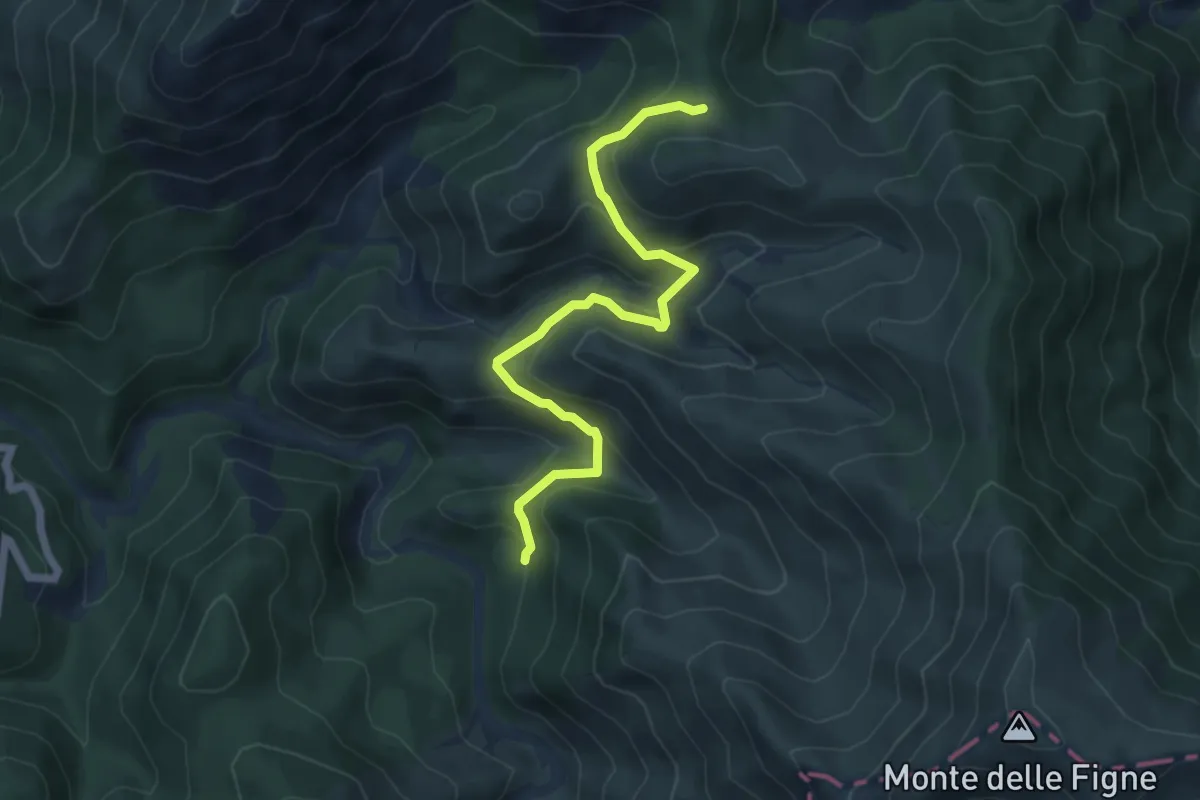
Medium · Trail
Presso Rocca Vergone, cascina Carrosina, bivio ALA404-ALA407 – Bosio, Cascina Preadoga, bivio ALA407-ALA422
5.9 km · ↑ 252 m · 1 h 56 min
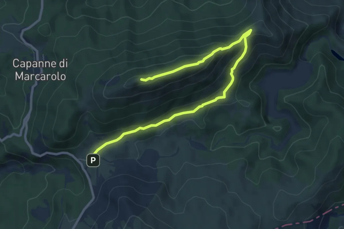
Medium · Summit
Capanne Superiori, bivio ALA409-ALA411-ALA423 – Costa Lavezzara
8.1 km · ↑ 306 m · 2 h 34 min
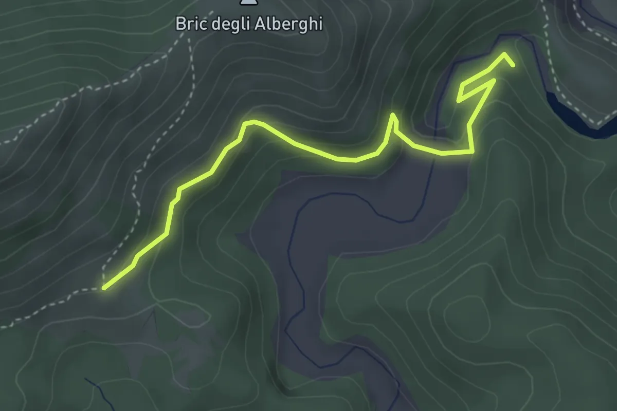
Medium · Trail
Bivio ALA421-ALA410 presso Lago Bruno – Bivio ALA409-ALA410 presso Casa Menta
3.9 km · ↑ 201 m · 1 h 22 min
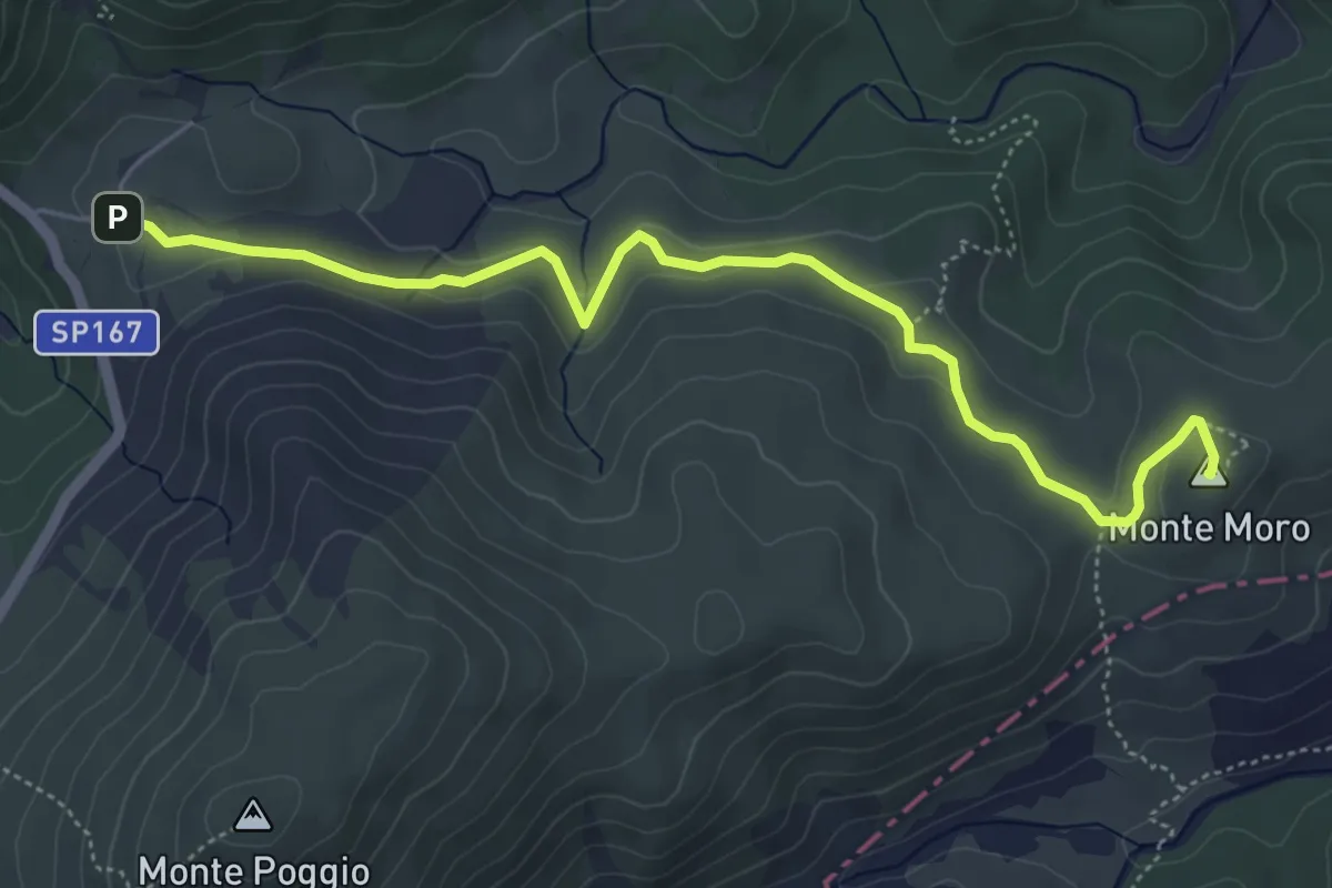
Medium · Summit
Capanne Superiore – Monte Moro
5.9 km · ↑ 128 m · 1 h 40 min
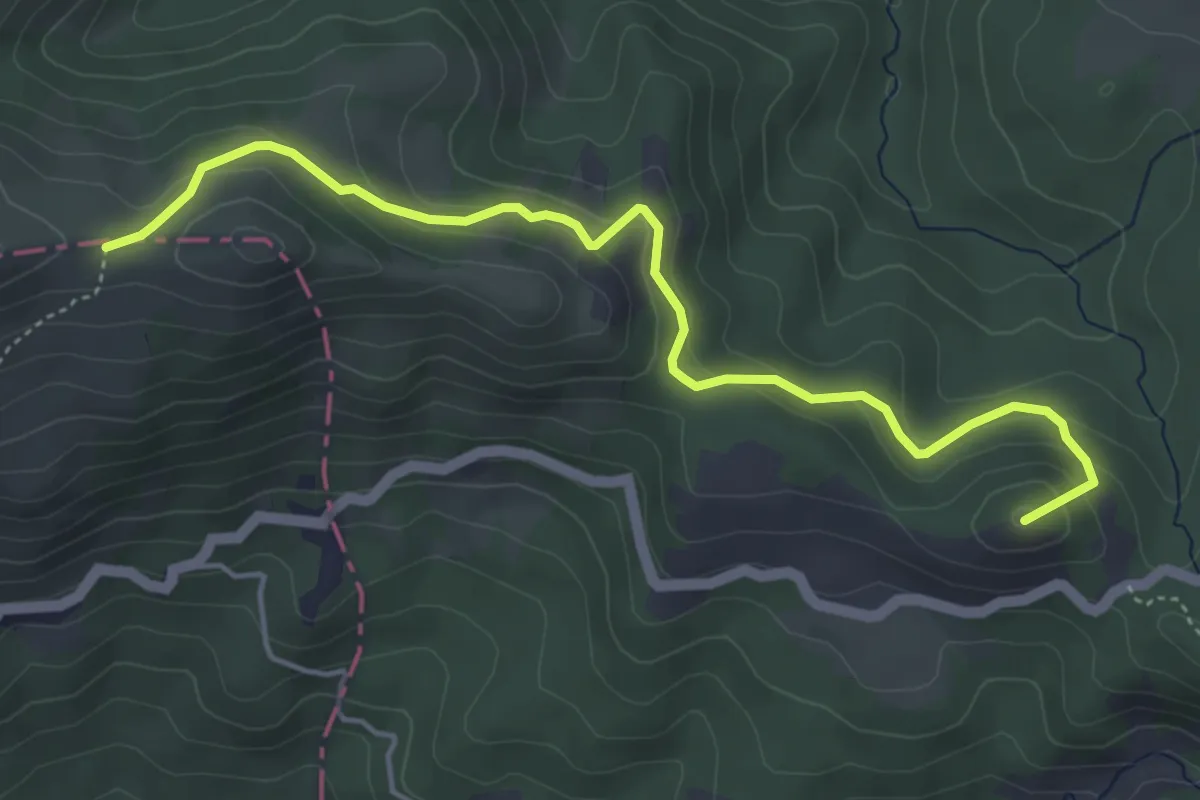
Easy · Summit
Capanne di Marcarolo, bivio ALA408-ALA413 – Monte Pracaban, bivio ALA413-ALA424
5.3 km · ↑ 253 m · 1 h 47 min
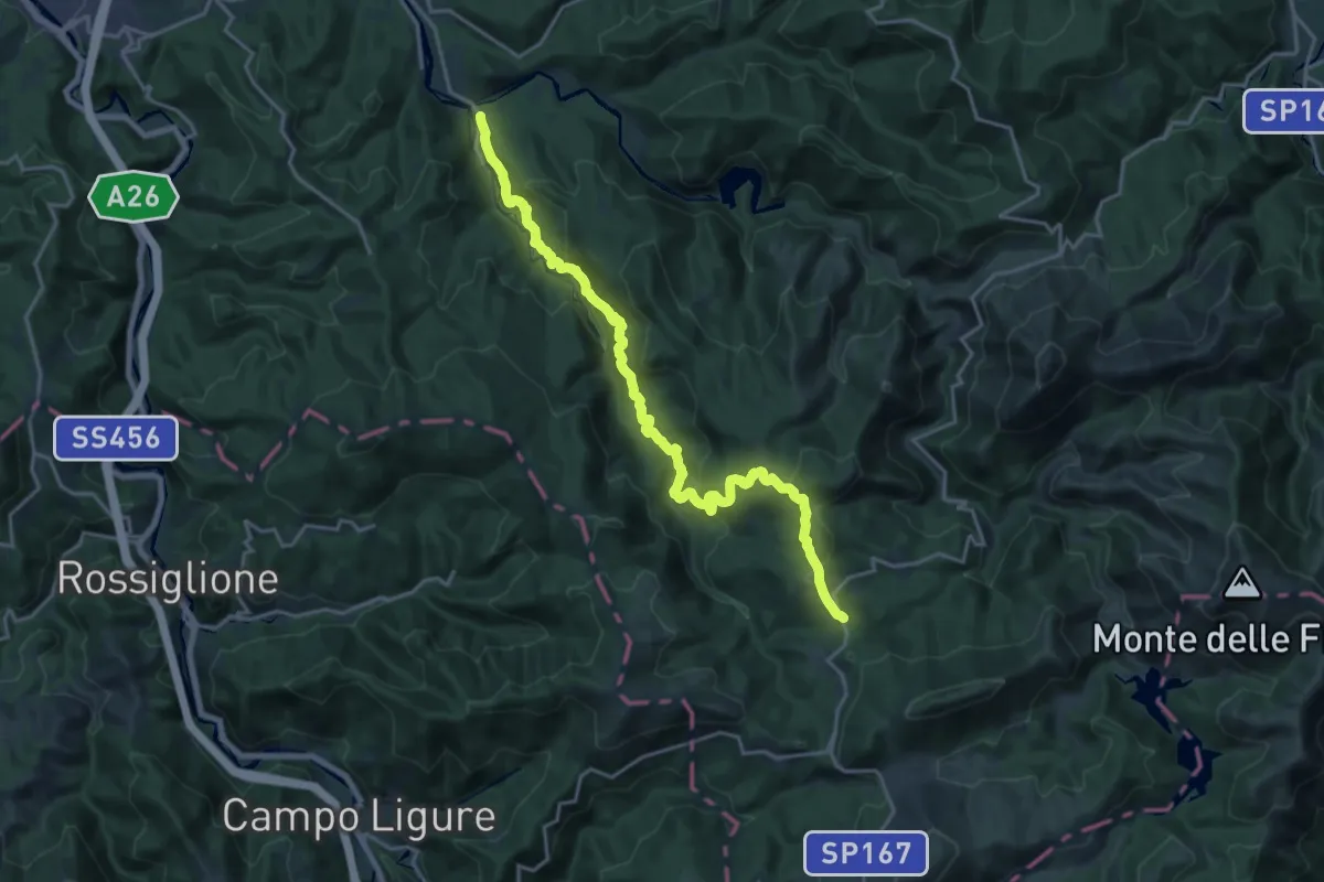
Demanding · Trail
C.na Foi, bivio ALA408-ALA414 – Lerma, C.na Cirimilla, bivio ALA414-ALA430-ALA431
21.2 km · ↑ 945 m · 7 h 3 min
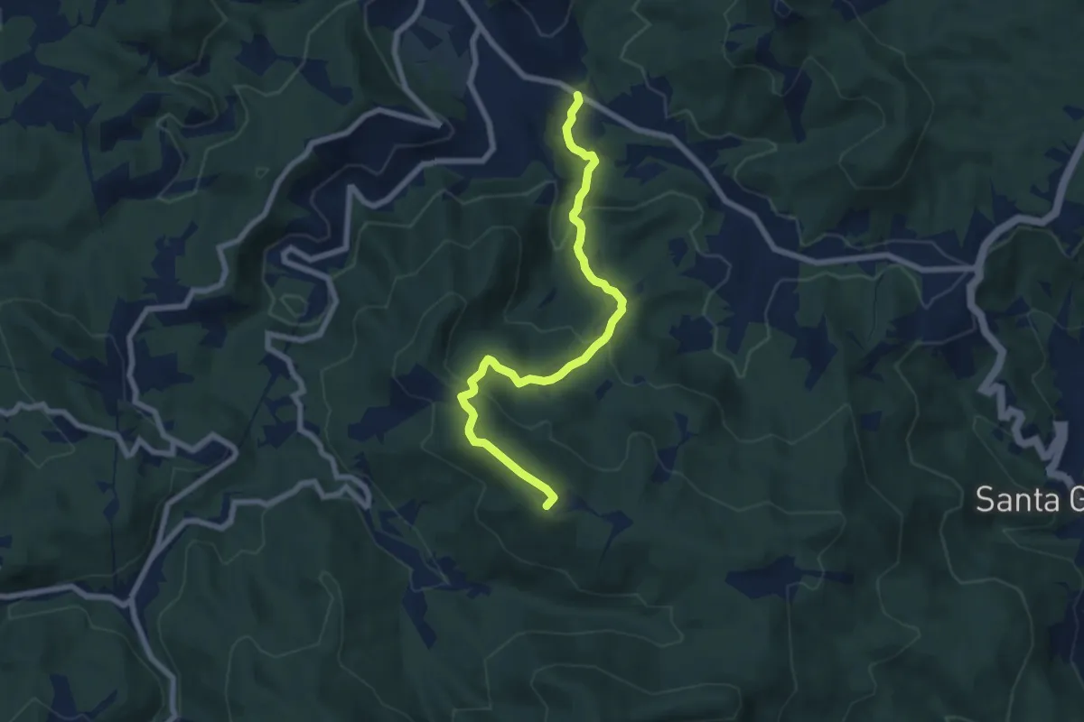
Medium · Summit
Pontinvrea – Pendici Nord Bric Sciappa
7.4 km · ↑ 344 m · 2 h 30 min
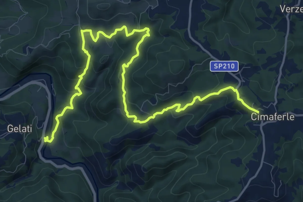
Medium · Trail
Ponte su torrente Erro presso frazione Schiapato – Cimaferle
14.7 km · ↑ 661 m · 4 h 54 min
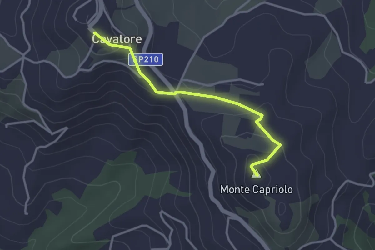
Easy · Summit
Valle Croce, bivio ALA531-ALA531C – Cavatore, bivio ALA537-ALA531C-ALA542
2.8 km · ↑ 118 m · 55 min
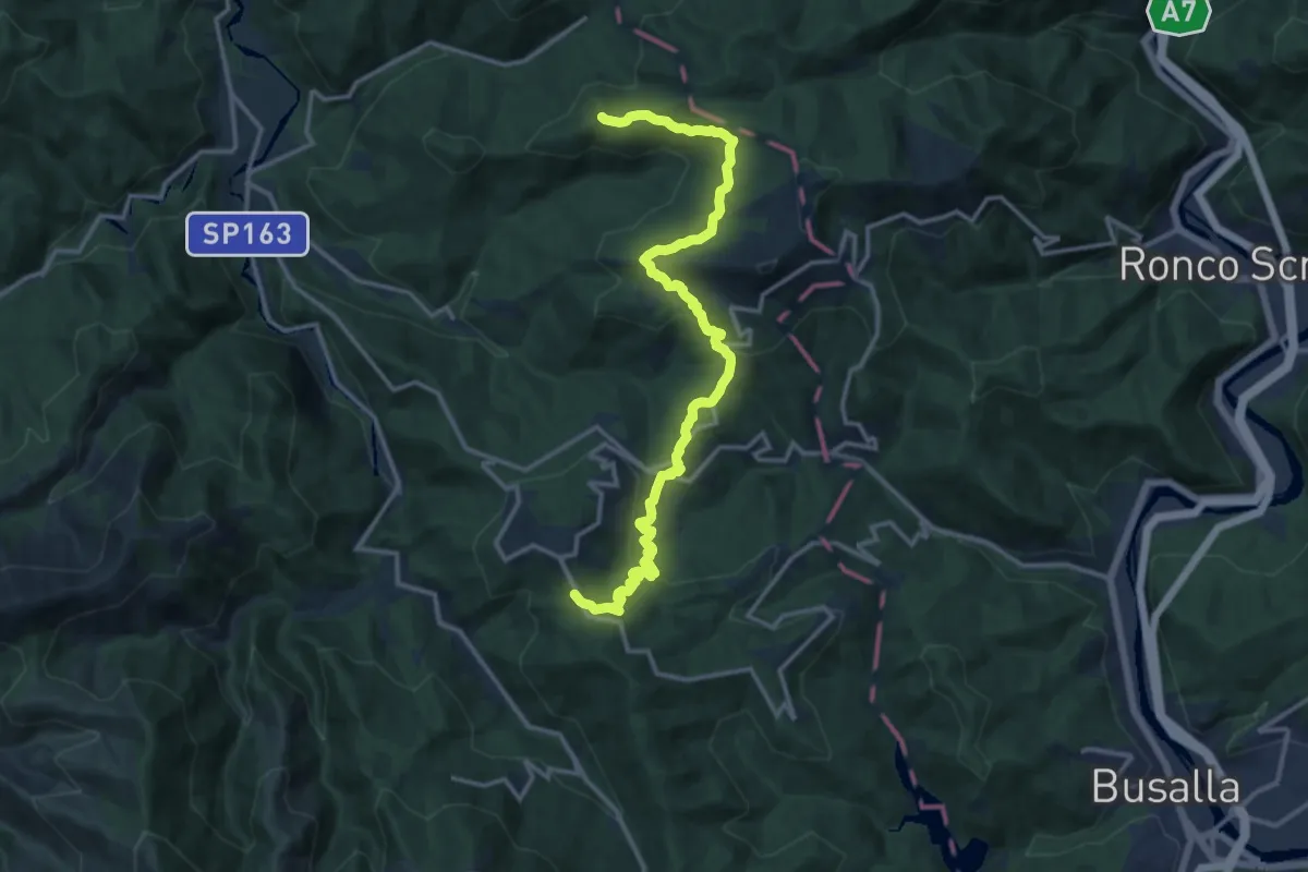
Medium · Summit
Monte Erbano – Località San Rocco, bivio ALA4E1-ALA490
15.9 km · ↑ 610 m · 5 h 5 min
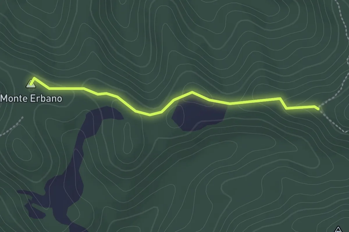
Easy · Summit
Sella Monte Erbano – Ceighetto (Percorso 299)
2.4 km · ↑ 39 m · 40 min
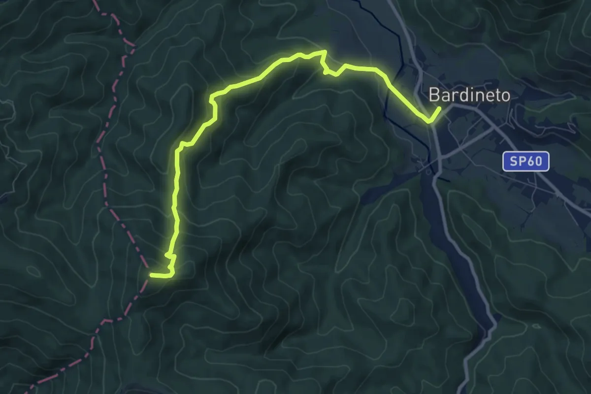
Medium · Summit
Bardineto – Bric Schenasso
9.4 km · ↑ 540 m · 3 h 23 min
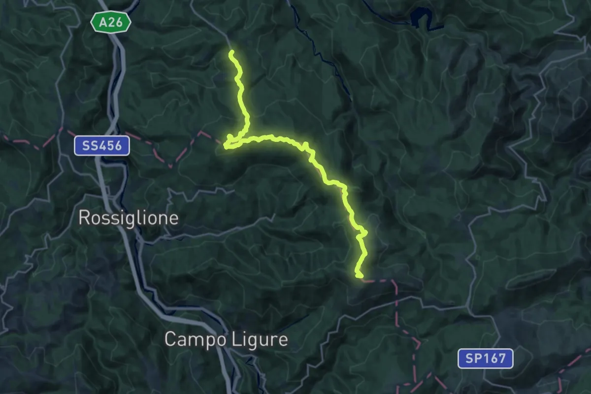
Demanding · Summit
Bosio, presso Monte Pracaban, bivio ALA413-ALA424 – Tagliolo Monferrato, loc. Magnoni, bivio ALA424-ALA425-ALA433
19.7 km · ↑ 919 m · 6 h 39 min
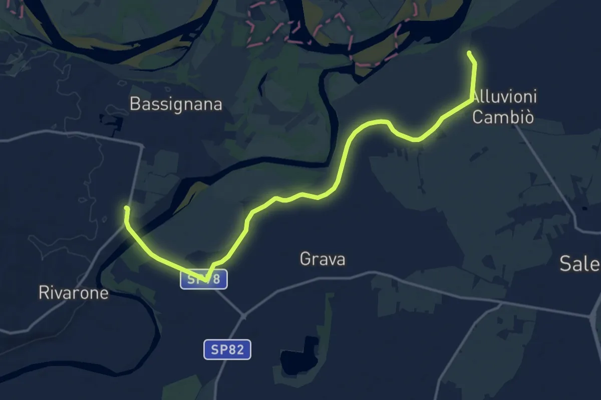
Medium · Trail
Alluvioni cambio', C.na Grossa, bivio ALA160-ALA616 – Bassignana, bivio ALA615-ALA615B-ALA616 presso Ponte D'Assi
15.8 km · ↑ 37 m · 3 h 48 min
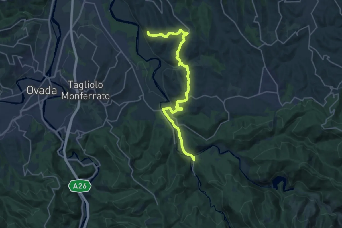
Medium · Trail
Lerma, Cascina Cirimilla, bivio ALA414-ALA430-ALA431 – Silvano d'Orba, presso Cascina Setteventi, bivio ALA330-ALA430
17.9 km · ↑ 487 m · 5 h 17 min
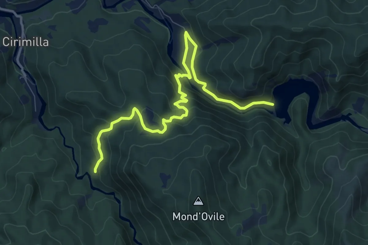
Medium · Trail
Mornese, Laghi Lavagnina, bivio ALA402-ALA415-ALA432 – Tagliolo Monferrato, bivio ALA432-ALA414
10.5 km · ↑ 423 m · 3 h 24 min
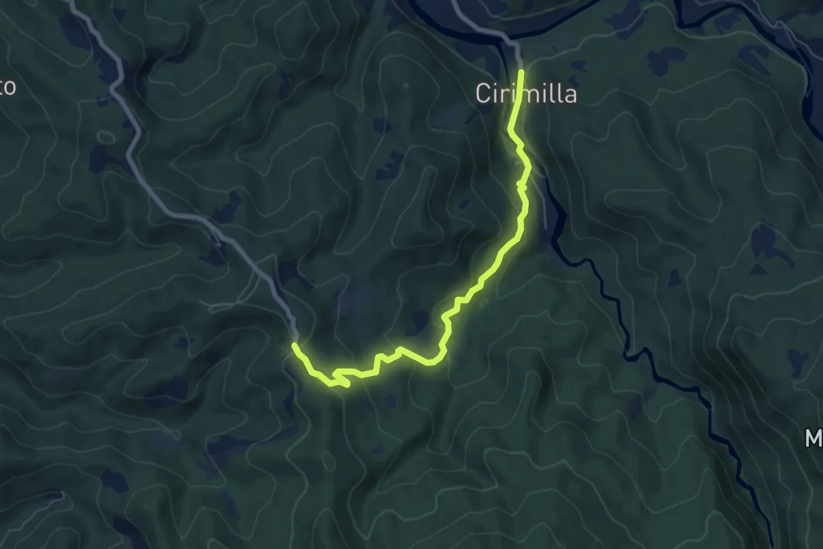
Easy · Trail
Lerma, Cascina Cirimilla, bivio ALA414-ALA4331 – Tagliolo Monferrato, localiotà Magnoni, bivio ALA424-ALA425-ALA433
6.8 km · ↑ 292 m · 2 h 14 min
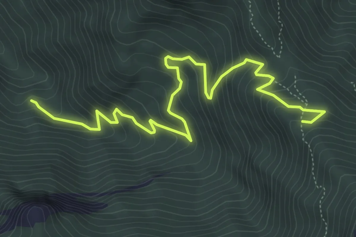
Medium · Trail
Garessio, località La Visitazione – Garessio, bivio A25, A25B
7.2 km · ↑ 592 m · 2 h 58 min
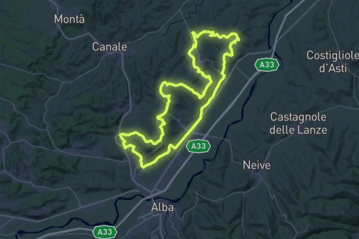
Demanding · Summit
Govone, bivio Sp49 per San Martino Alfieri – Govone, bivio SP235, via Piana, CNC408
38.8 km · ↑ 856 m · 11 h 33 min
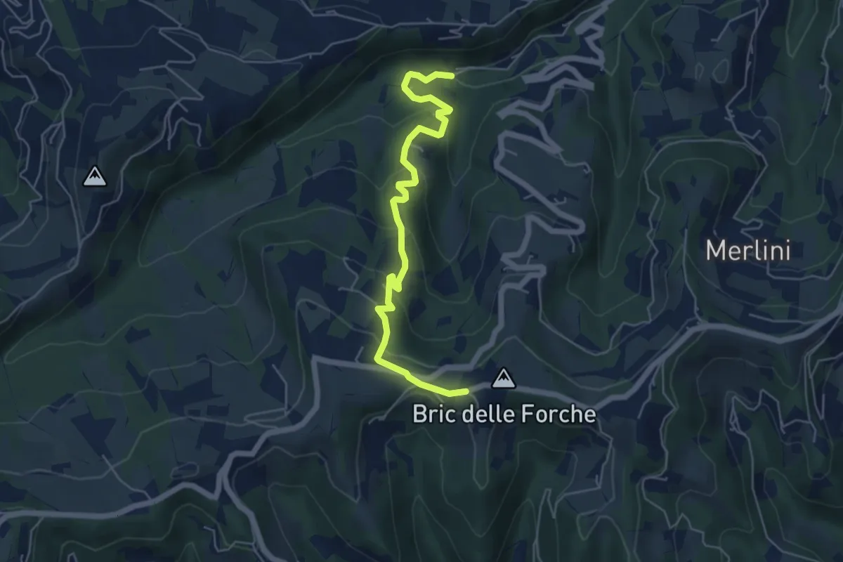
Easy · Trail
Bric delle Forche, bivio ATS512-ATS513 – Canelli, ponte Rio Rocchea, bivio ATS313-ATS513
5.7 km · ↑ 272 m · 1 h 56 min
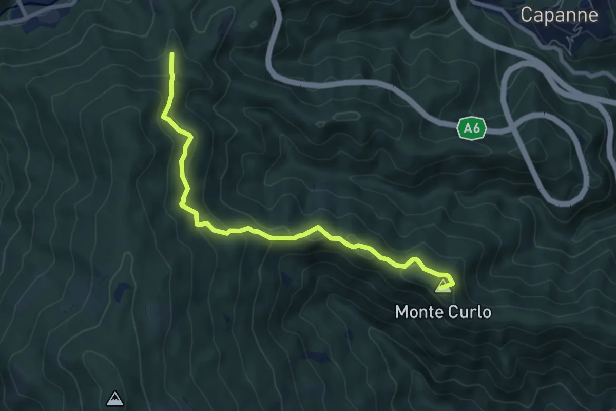
Medium · Summit
Quiliano – AV
7.0 km · ↑ 335 m · 2 h 23 min
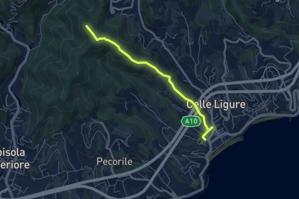
Easy · Summit
Stazione FS – Bric Croi
5.2 km · ↑ 240 m · 1 h 44 min
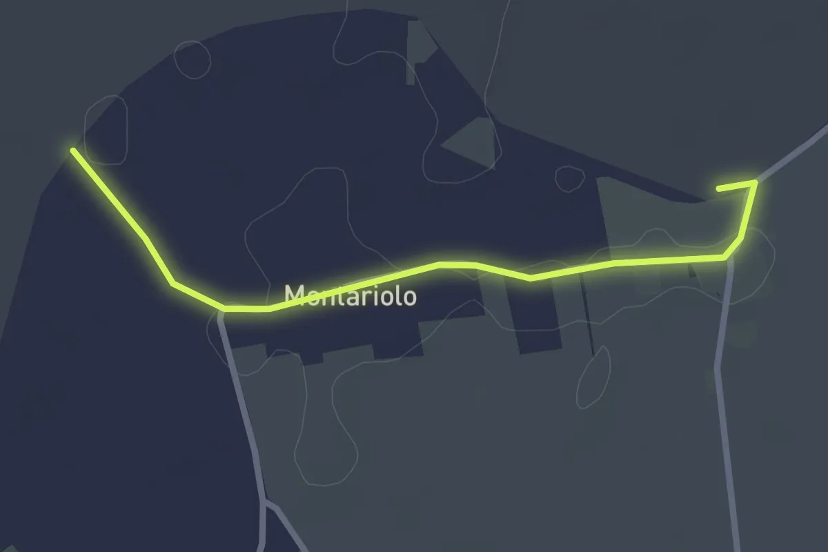
Easy · Trail
Bivio EALA616-EALA616A – Bivio EALA616A-EALA616
2.5 km · ↑ 0 m · 36 min
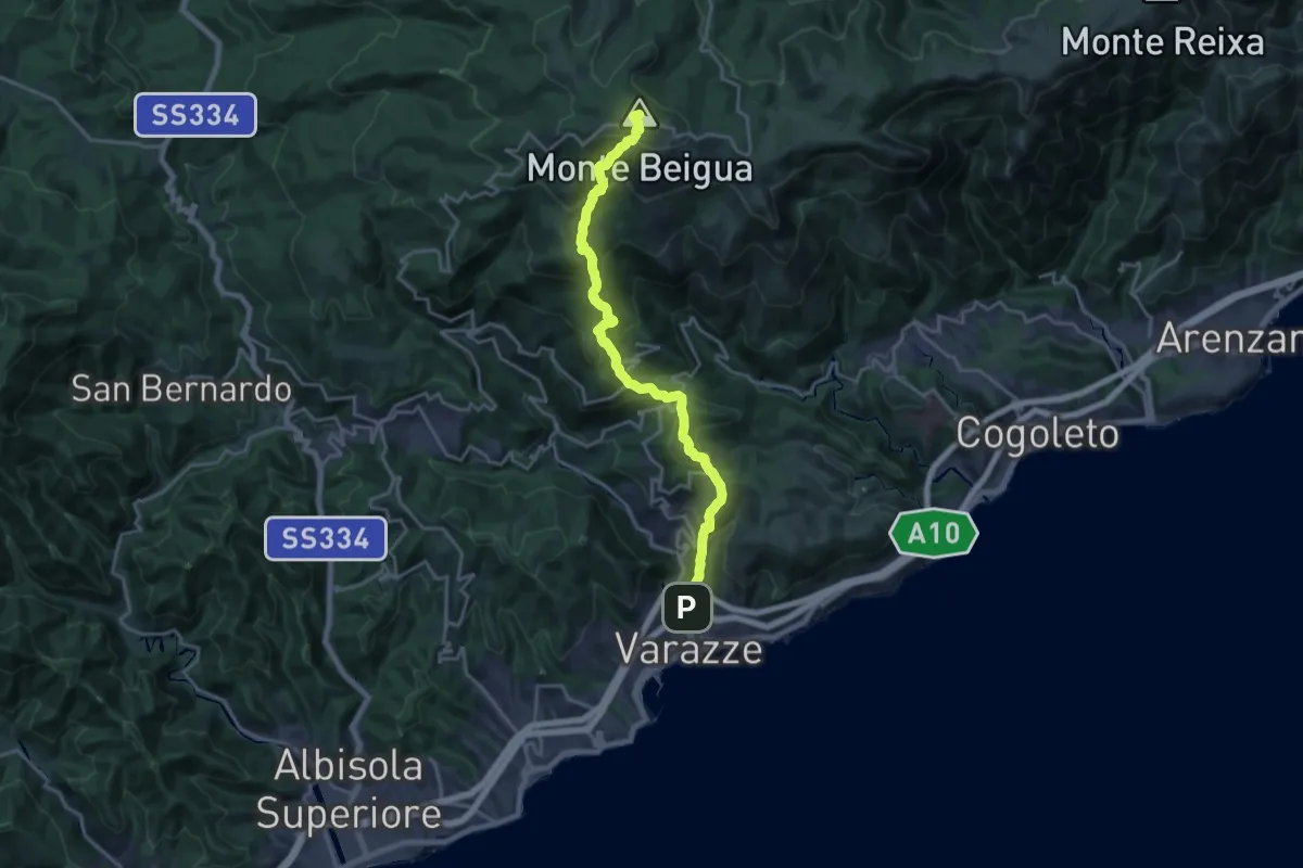
Demanding · Summit
Varazze – Monte Beigua
20.4 km · ↑ 1374 m · 7 h 47 min
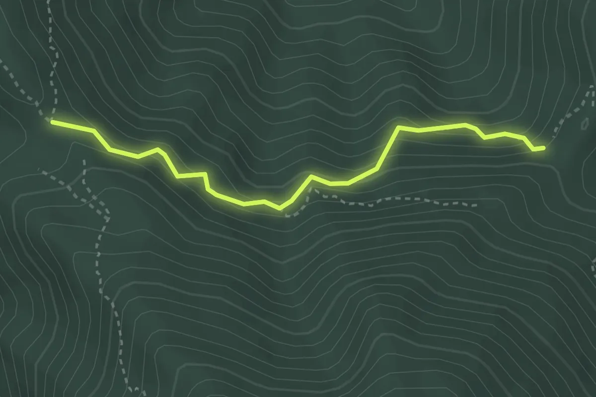
Medium · Trail
Garessio, fontana delle Meraviglie, bivio CNAA36, CNAA25A – Garessio, presso Truc del Prato del Poco, bivio CNAA25, CNAA25A
3.1 km · ↑ 257 m · 1 h 18 min
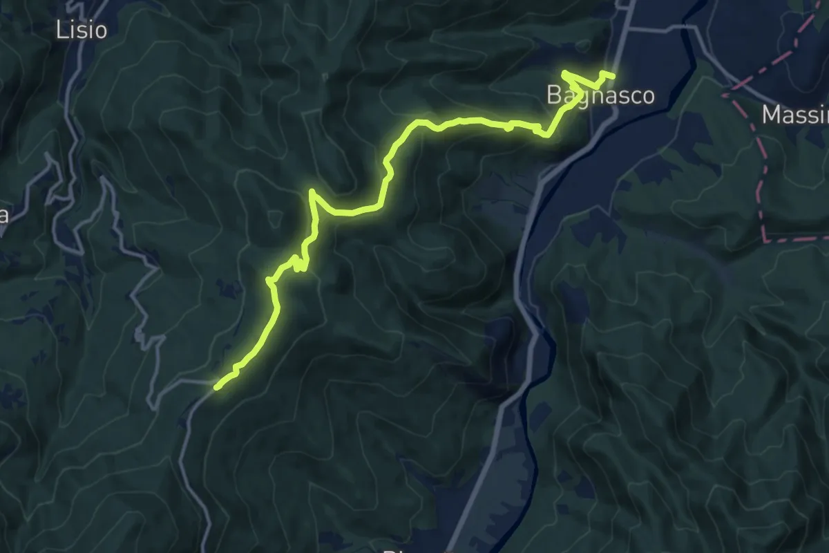
Medium · Trail
Bagnasco, bivio CNAA39, CNAA52 – Colle di San Giacomo
15.1 km · ↑ 640 m · 4 h 58 min