Trails in Italy
25,219 hiking trails, each with its route, climb, walking time and grade.
All trails, page 436 of 526
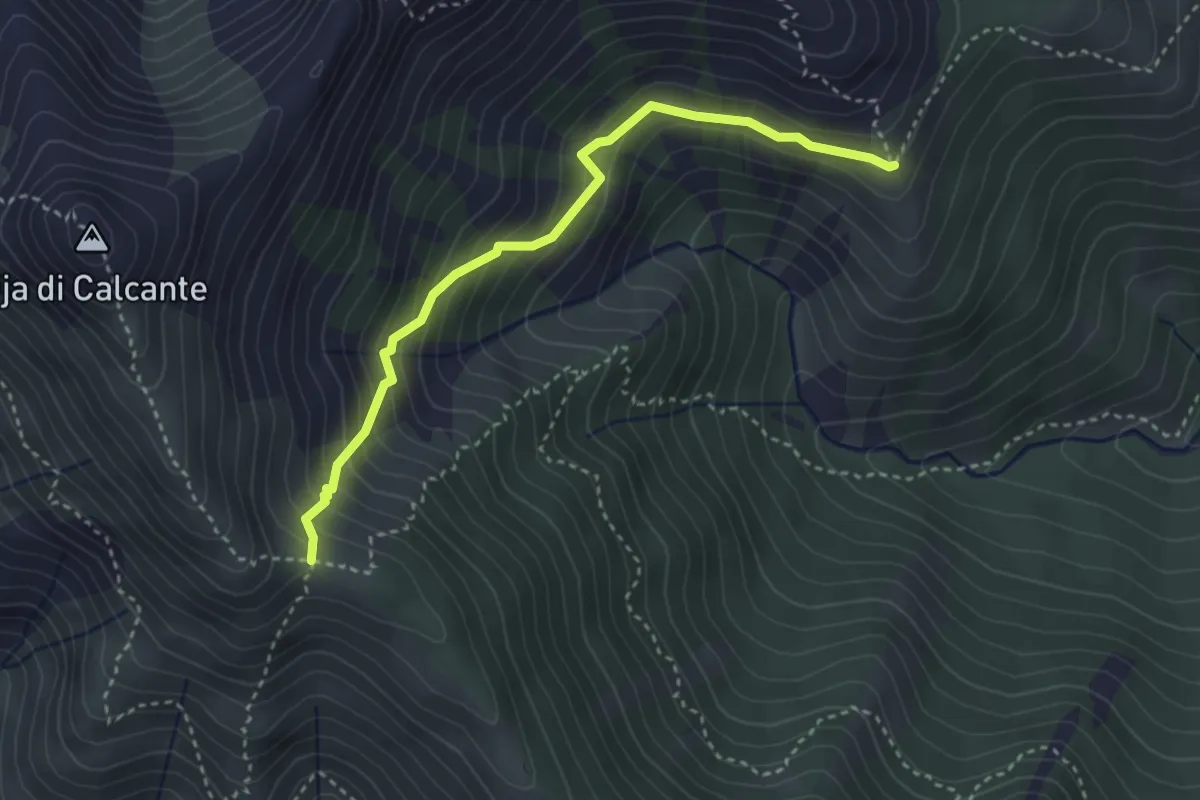
Medium · Trail
Bivio 254-256, Pian Bracon – Bivio 135-254-256-256A, Colle Pra Lorenzo
3.5 km · ↑ 365 m · 1 h 37 min
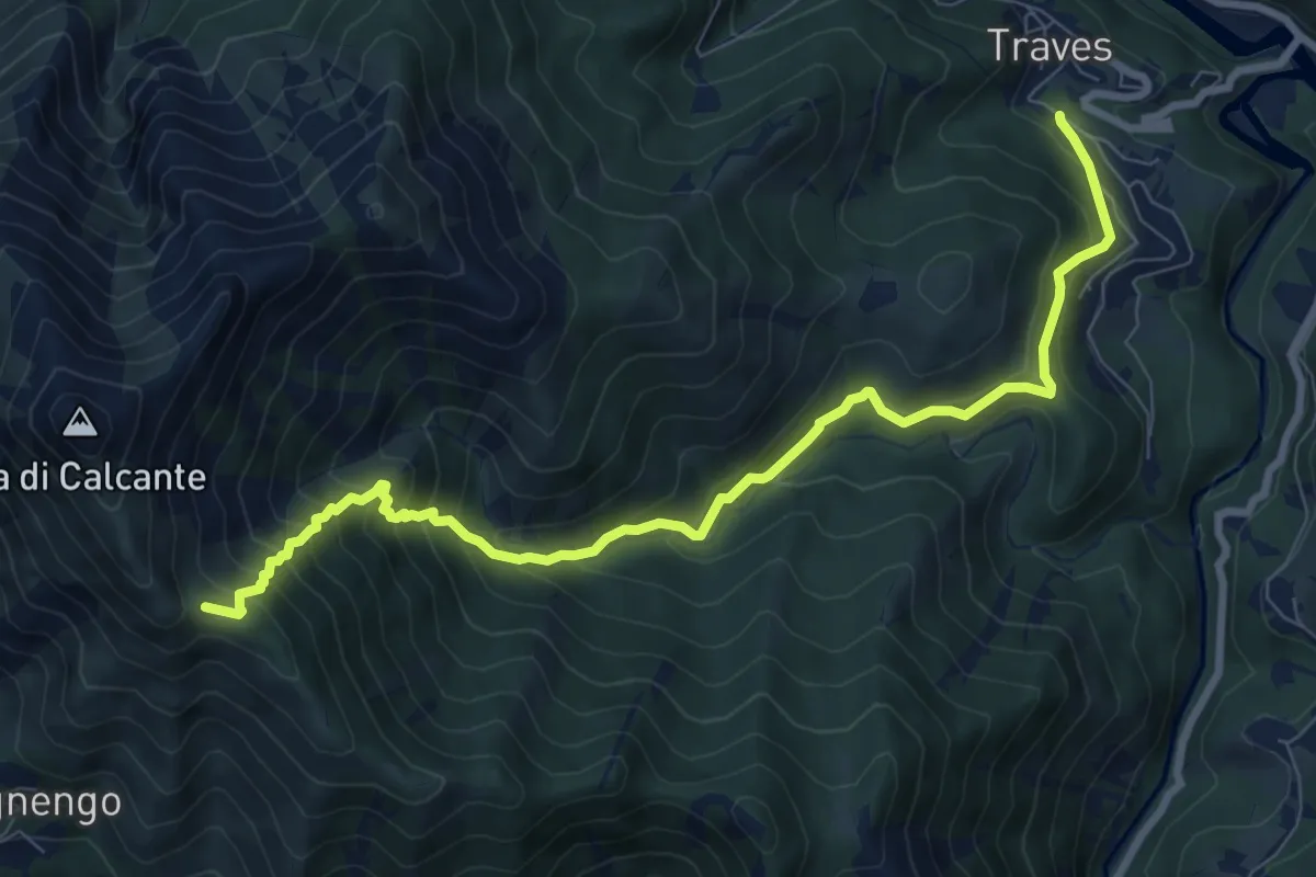
Demanding · Trail
Bivio 252-254, Malerba – Bivio 135-254-256-256A, Colle Pra Lorenzo
9.5 km · ↑ 853 m · 4 h 5 min
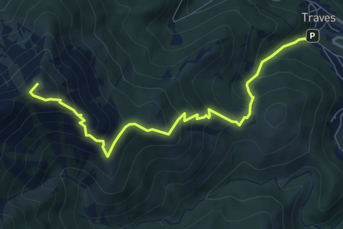
Medium · Summit
Bivio 252-253, Villa – Bivio 202-253, Colle Lunelle
7.4 km · ↑ 728 m · 3 h 20 min
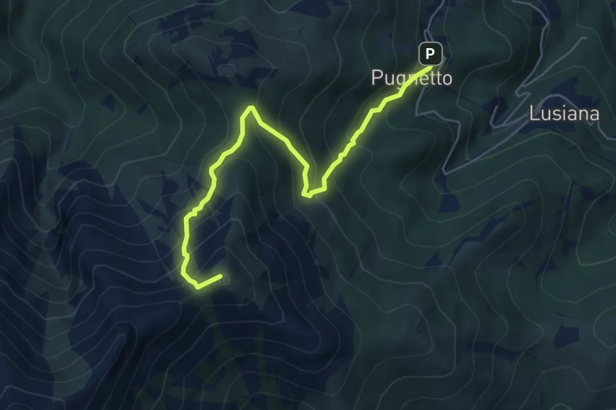
Medium · Summit
Bivio 202-203, Pugnetto – Bivio 202-253, Colle Lunelle
5.6 km · ↑ 553 m · 2 h 31 min
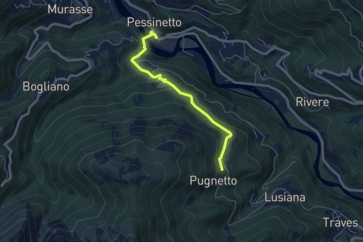
Easy · Trail
Pessinetto – Bivio 202-203, Pugnetto
4.7 km · ↑ 267 m · 1 h 41 min
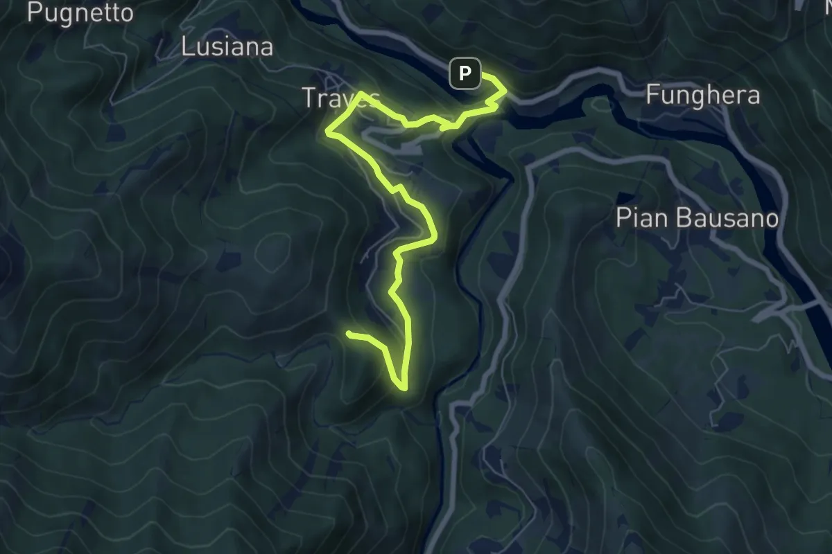
Easy · Trail
Traves, Stazione – Bivio 252-254, Colle Colmet
7.4 km · ↑ 291 m · 2 h 22 min
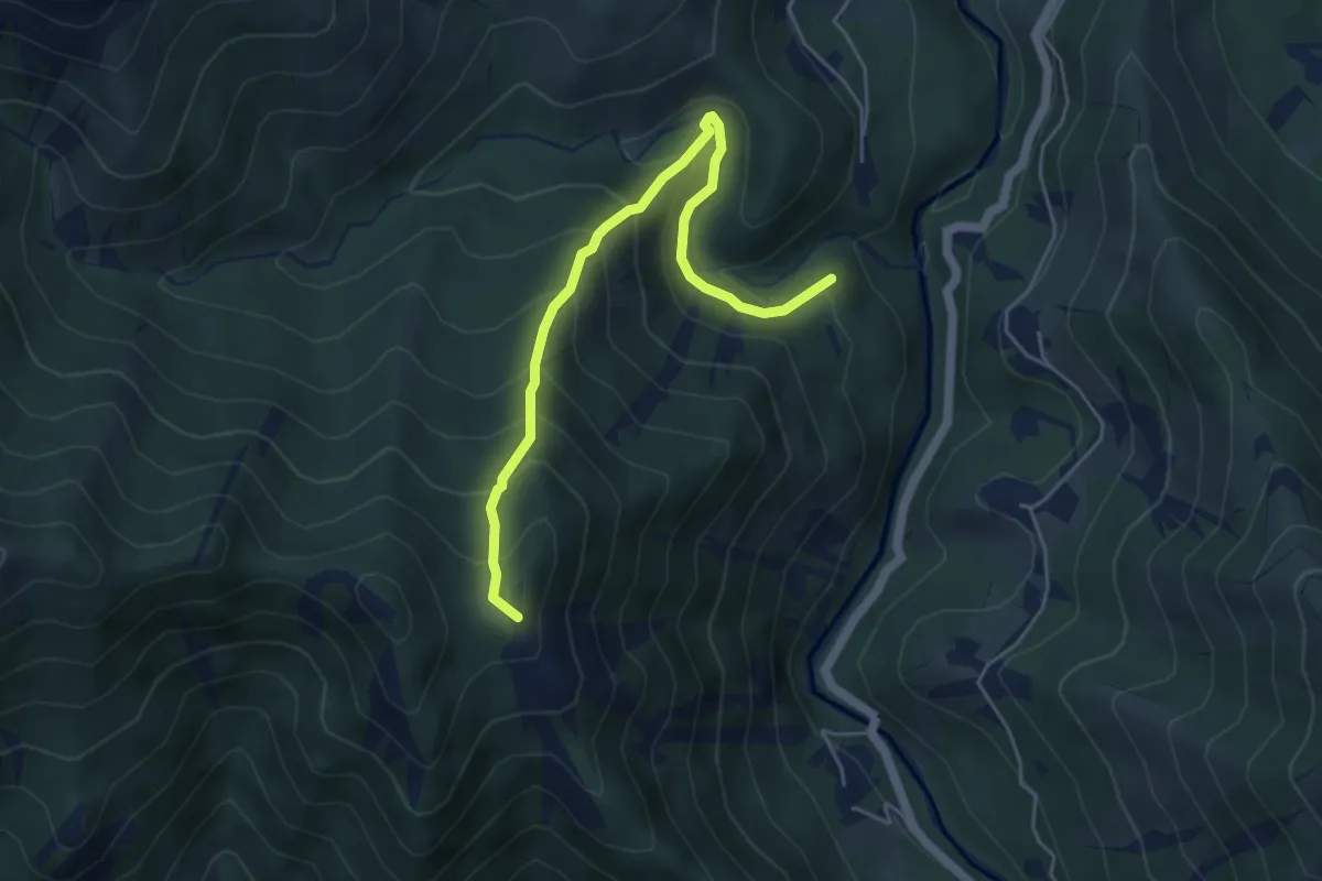
Medium · Summit
Bivio 101-255, Tisinelle – Colle d'Aprile
5.1 km · ↑ 462 m · 2 h 13 min
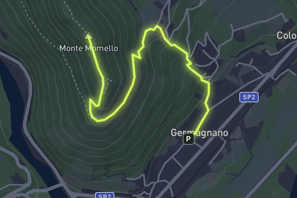
Easy · Summit
Germagnano – Santuario Sant'Ignazio
4.3 km · ↑ 258 m · 1 h 35 min
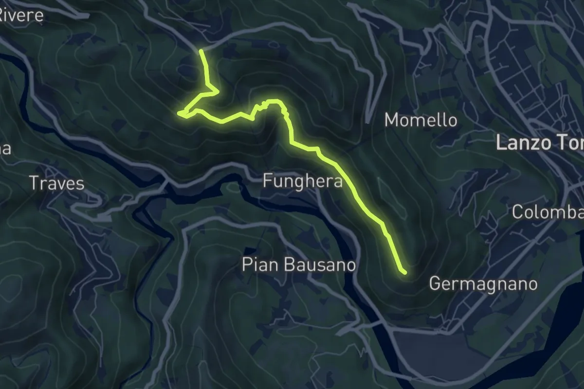
Medium · Trail
Bivio 351-351A – Bivio 351-351A, Tortore
6.7 km · ↑ 423 m · 2 h 30 min
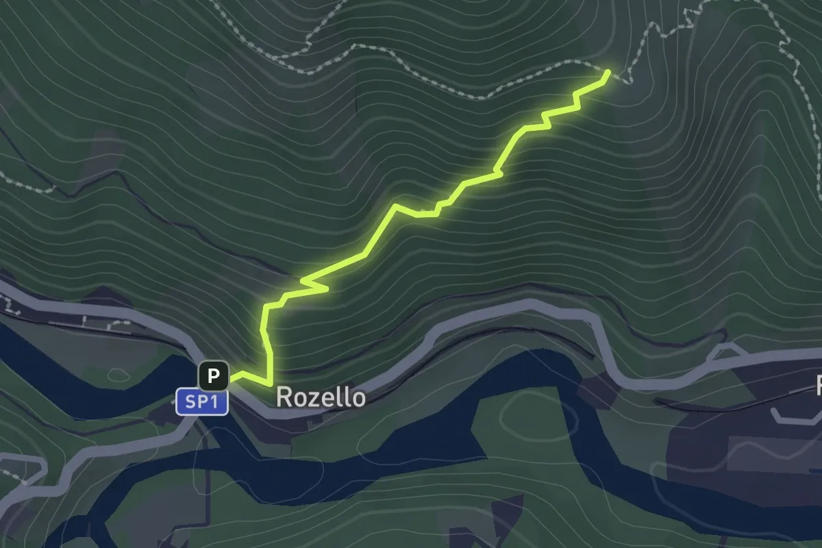
Easy · Trail
Bivio 252-351B, Rozello – Bivio 351A-351B
2.0 km · ↑ 232 m · 59 min
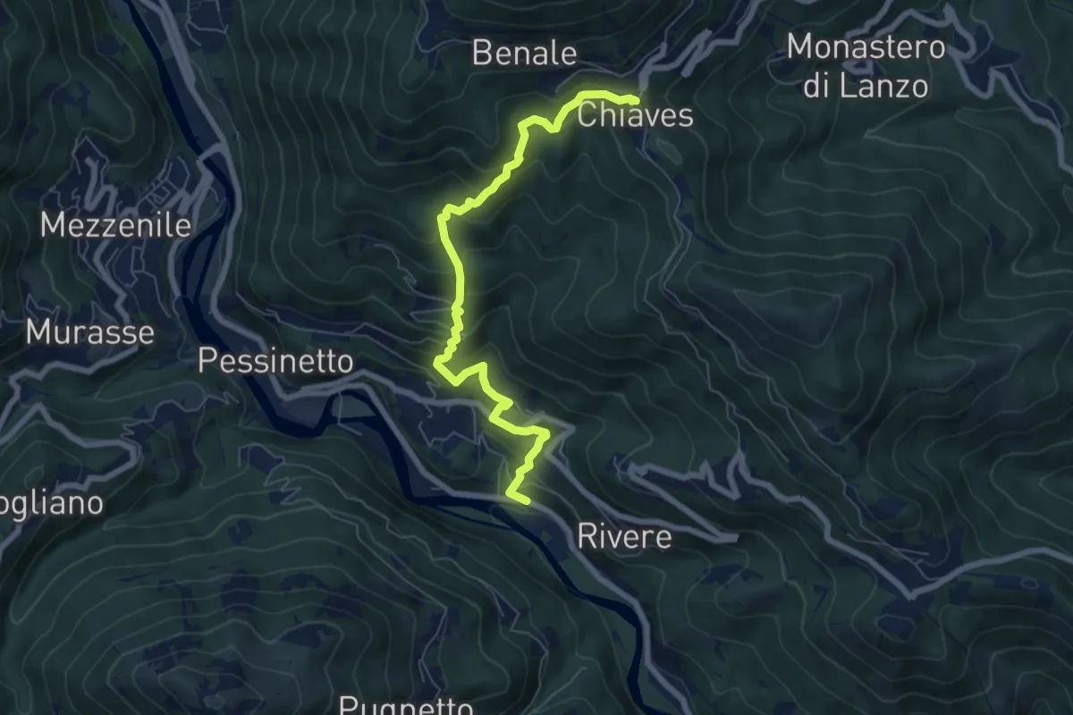
Medium · Trail
Bivio 208-335, Fontana Losa – Bivio 335-350A, Chiaves
7.0 km · ↑ 567 m · 2 h 53 min
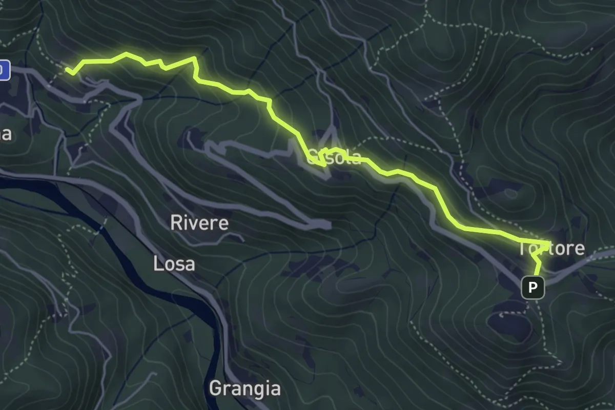
Medium · Trail
Bivio 335-350, Pessinetto Fuori – Bivio 350-351, Tortore
5.5 km · ↑ 368 m · 2 h 6 min
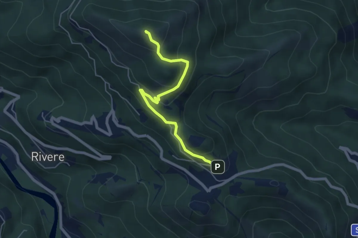
Easy · Summit
Bivio 350-350A, Tortore – Bivio 350A-403, Chiaves
4.5 km · ↑ 253 m · 1 h 36 min
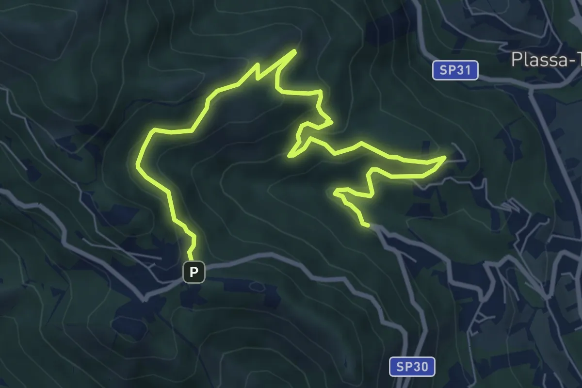
Medium · Trail
Fontana della Madonnina – Bivio 351-351A, Tortore
9.2 km · ↑ 511 m · 3 h 17 min
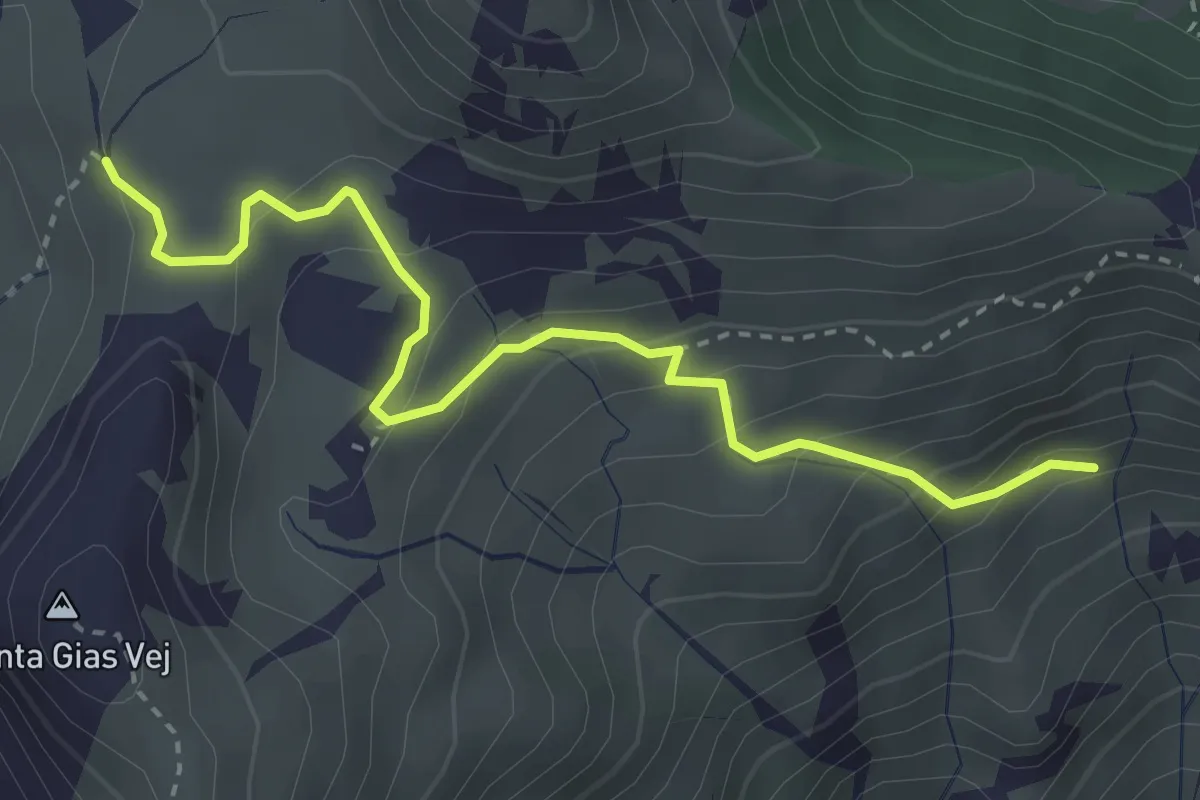
Medium · Trail
Bivio 408-408A, Alpe Pertus – Bivio 332-332A-408A, strada per Alpe Costapiana
3.6 km · ↑ 235 m · 1 h 21 min
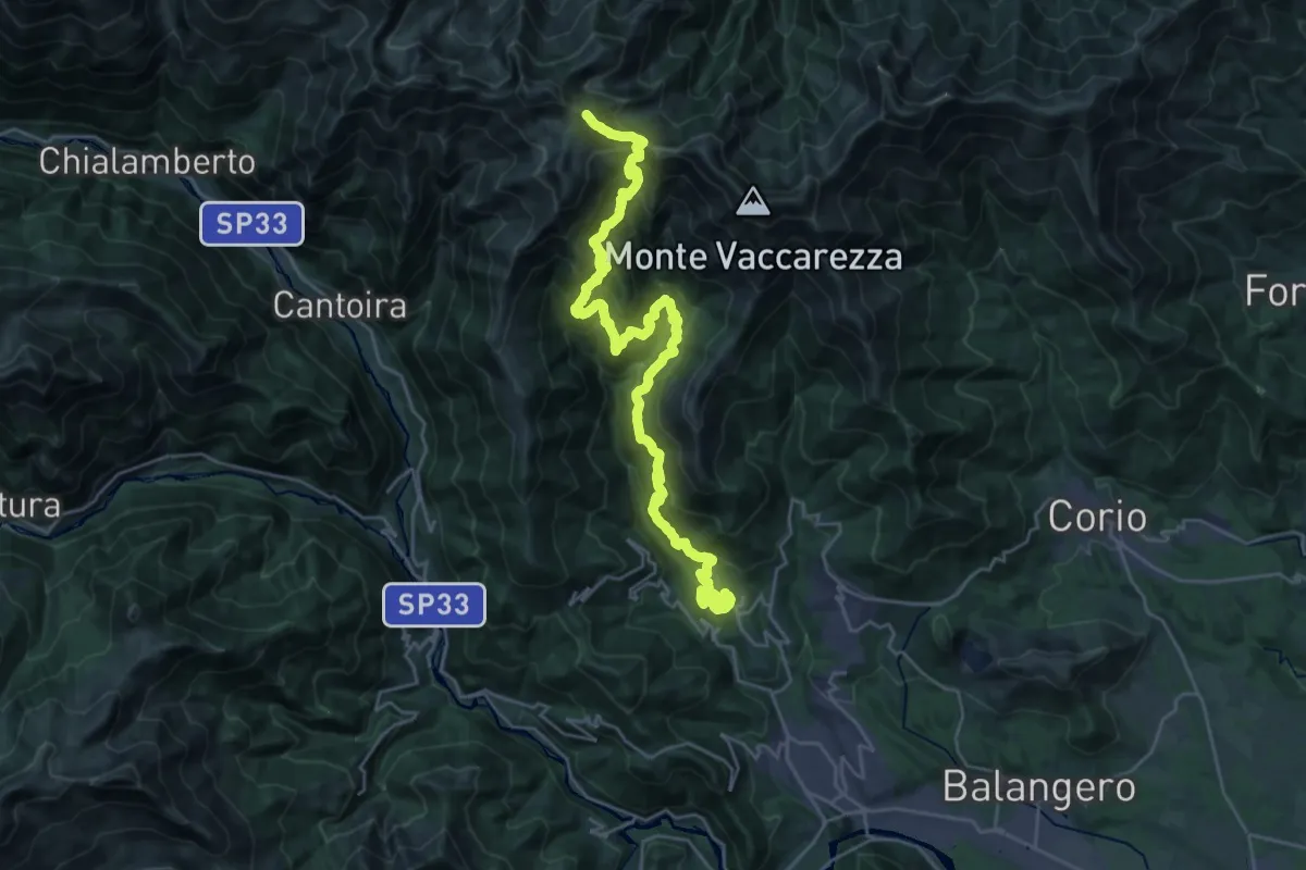
Demanding · Summit
Bivio 403-408, Mulino Barot – Bivio 332-408, Colle Perascritta
32.4 km · ↑ 2409 m · 12 h 51 min
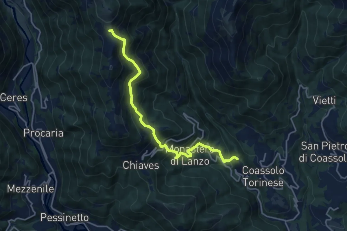
Demanding · Trail
Bivio 403-408, Mulino Barot – Bivio 332-403, Colle San Giacomo
11.8 km · ↑ 870 m · 4 h 40 min
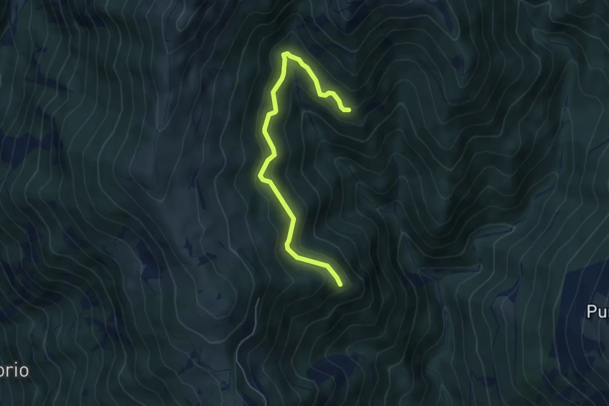
Easy · Summit
Mecca – Bivio 406-408, Marsaglia
5.1 km · ↑ 314 m · 1 h 53 min
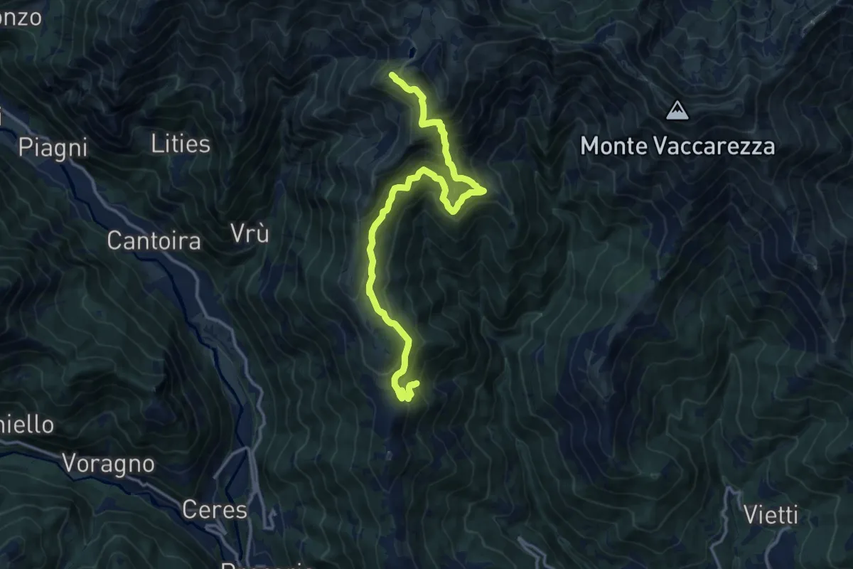
Demanding · Trail
Bivio 406-407, Proima – Bivio 332-407, Alpe Monastero
15.0 km · ↑ 1191 m · 6 h 7 min
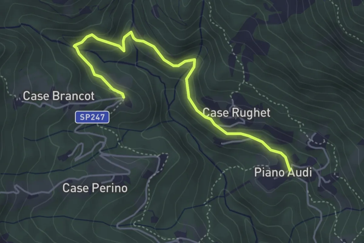
Easy · Trail
Bivio 411-411B, Case Picat – Bivio 411B-416, case Muggion
4.7 km · ↑ 211 m · 1 h 34 min
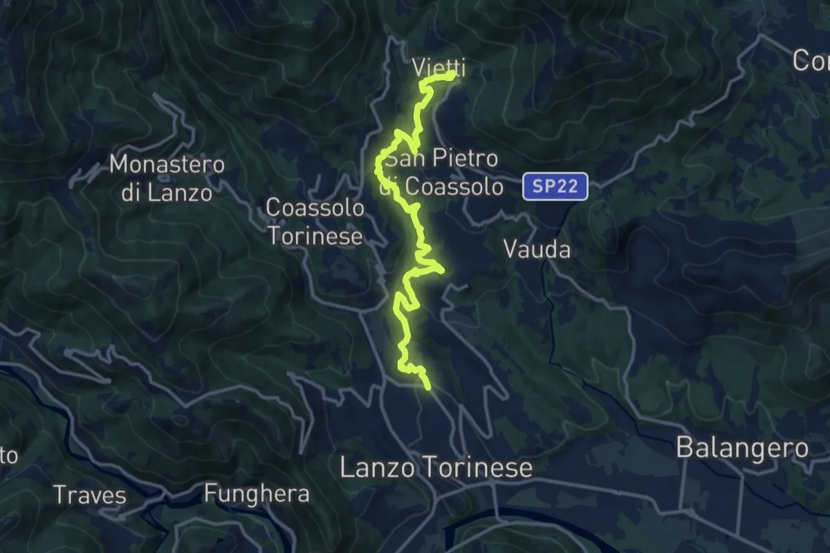
Medium · Trail
Lanzo, Case Furno – 419-420, Vietti
13.6 km · ↑ 513 m · 4 h 19 min
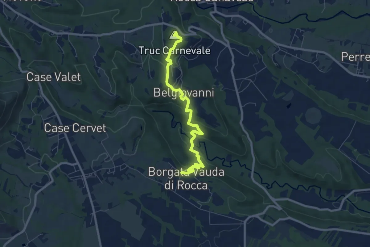
Easy · Summit
Rocca – Bivio 465-466, case Belgiovanni
6.9 km · ↑ 279 m · 2 h 14 min
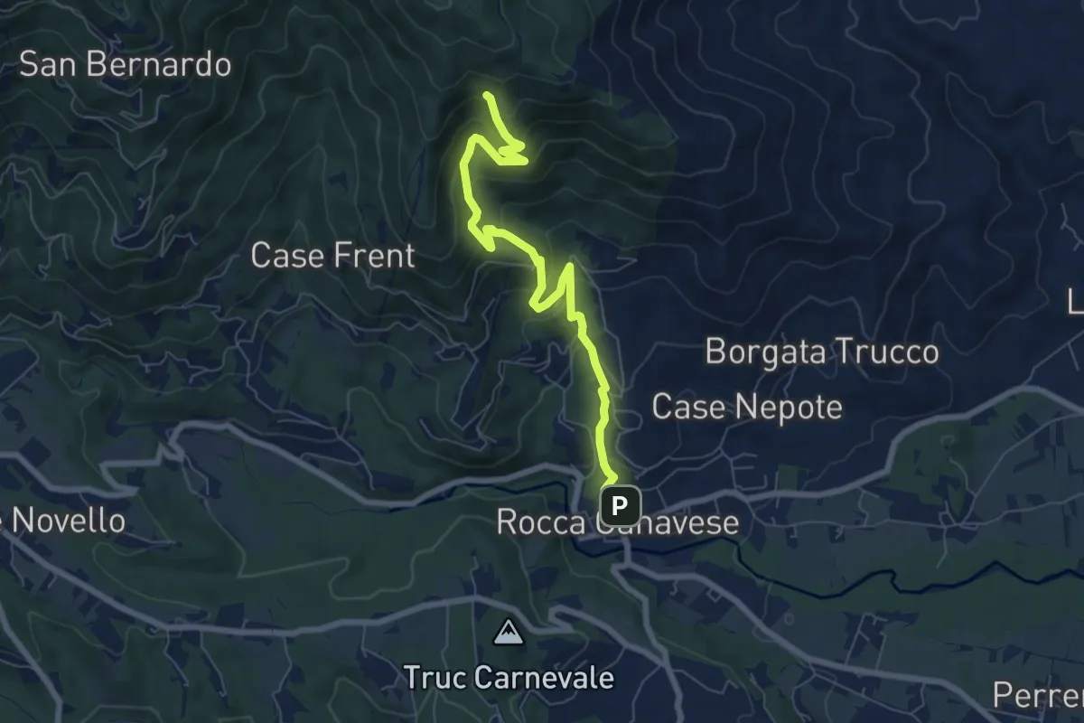
Medium · Trail
Rocca, Bivio TON461-TON462 – Bivio TON418-TON462
7.2 km · ↑ 522 m · 2 h 50 min
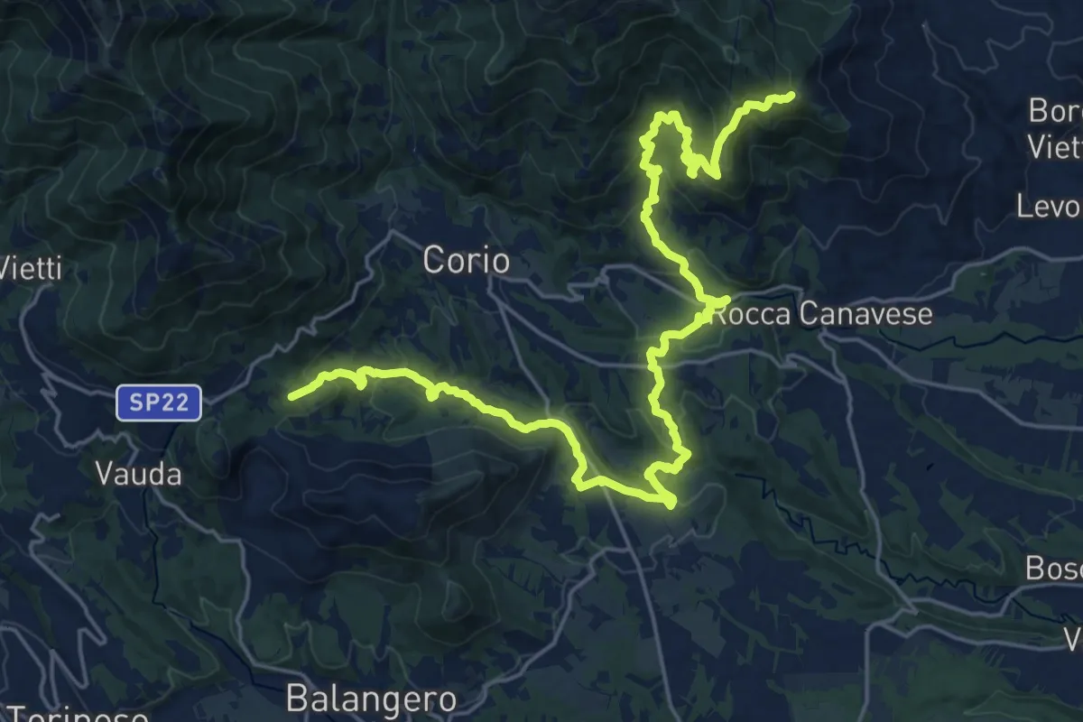
Medium · Trail
Bivio 414-418, Forcola – Bivio 418-461, Madonna della Neve
13.9 km · ↑ 475 m · 4 h 36 min
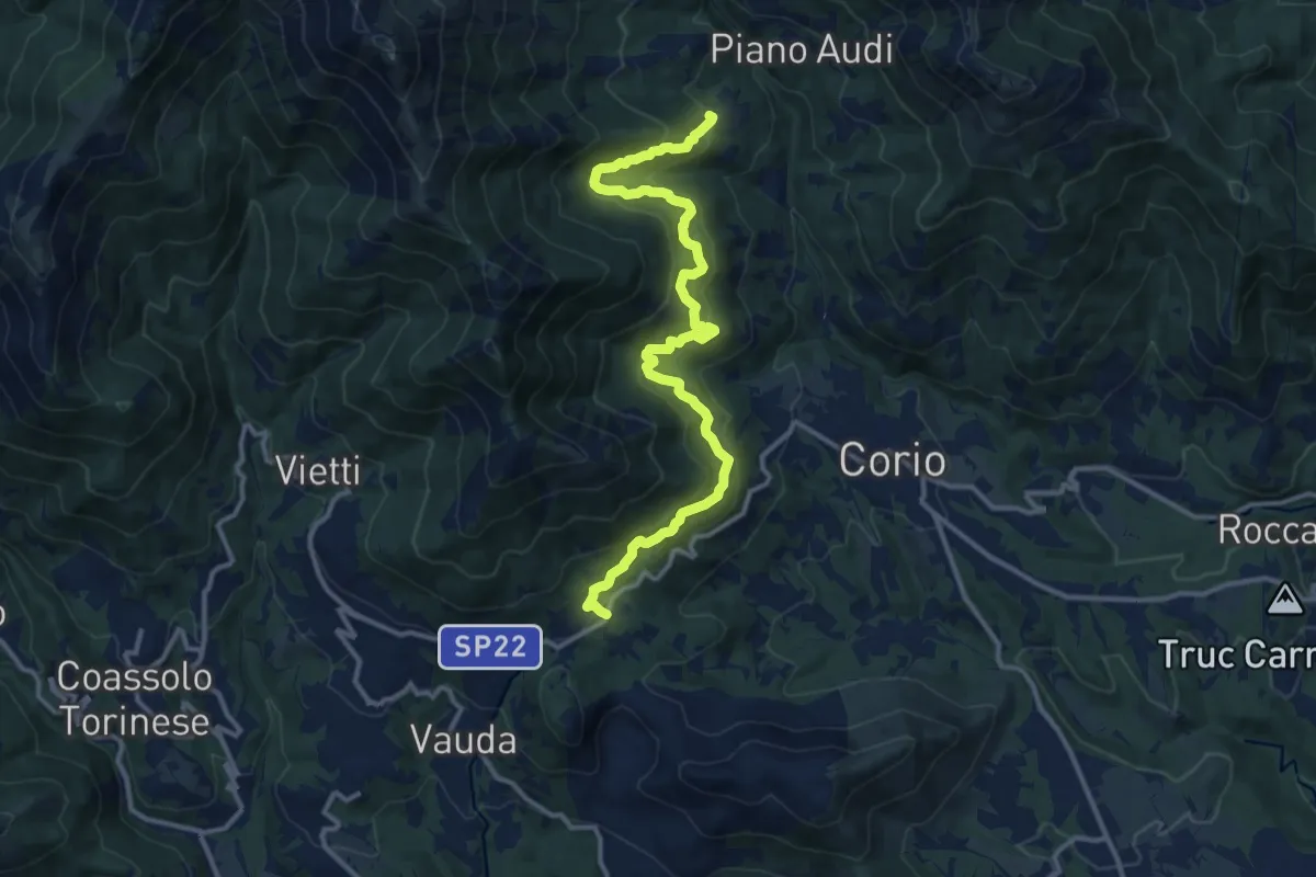
Medium · Trail
Bivio 414-418, Forcola – Bivio, 414-415A, Ritornato
13.9 km · ↑ 740 m · 4 h 53 min
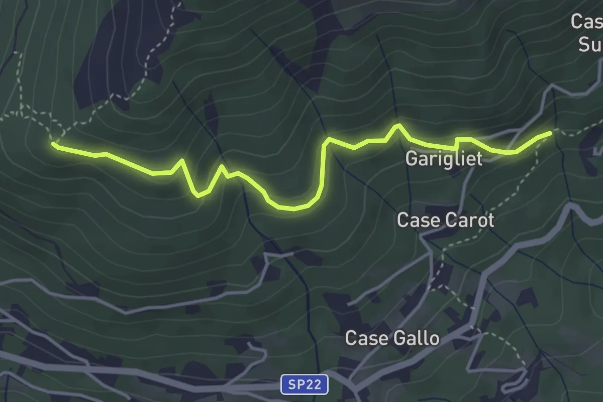
Easy · Trail
Bivio 414-414A, Case Cota – Bivio 414A-419, Pilone del Merlo
4.0 km · ↑ 242 m · 1 h 28 min
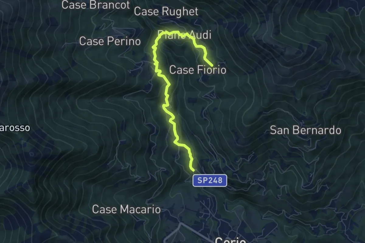
Medium · Trail
Bivio 412-415, Pescivivi – Bivio 415-416, Case Roccreus
7.6 km · ↑ 413 m · 2 h 42 min
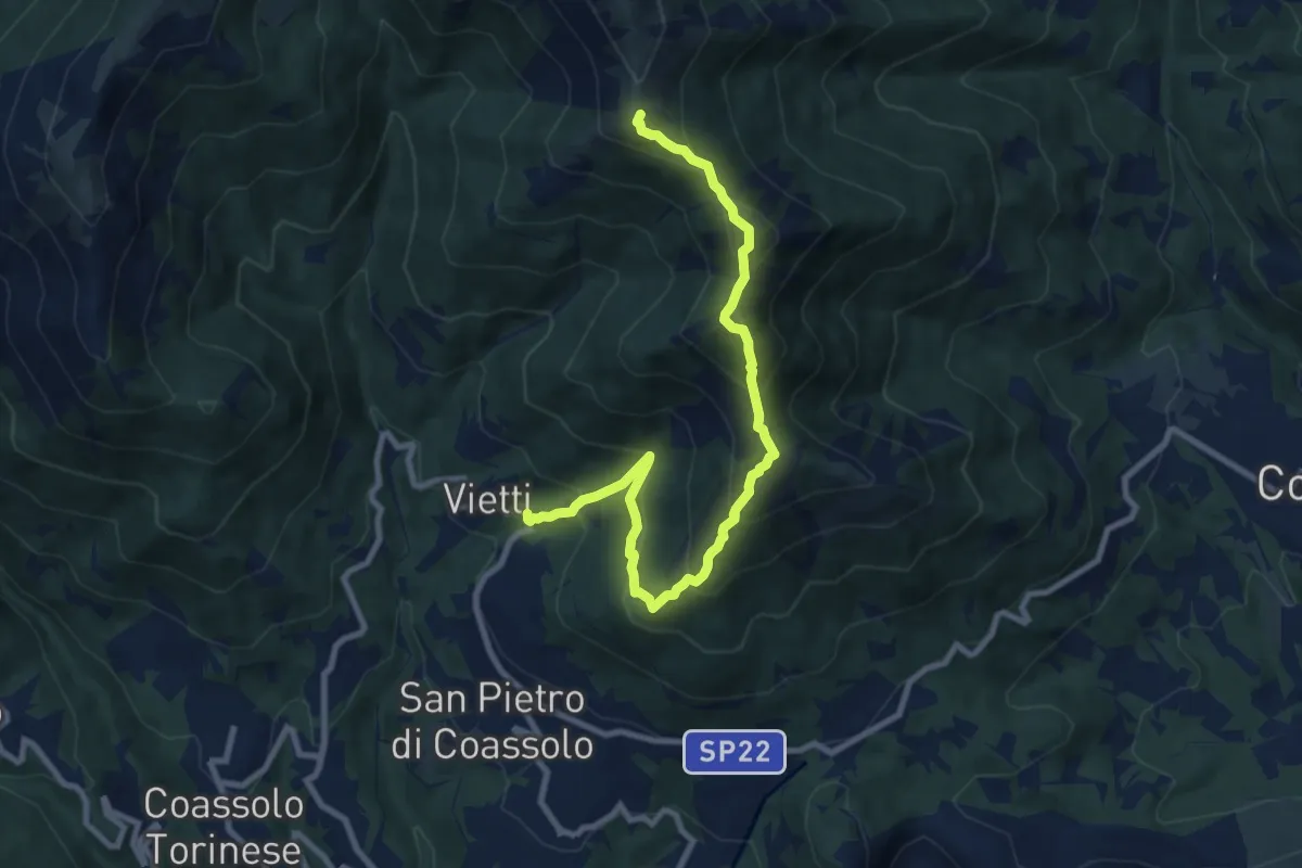
Demanding · Summit
419-420, Vietti – Bivio 413-419, punta Prarosso
10.0 km · ↑ 856 m · 4 h 13 min
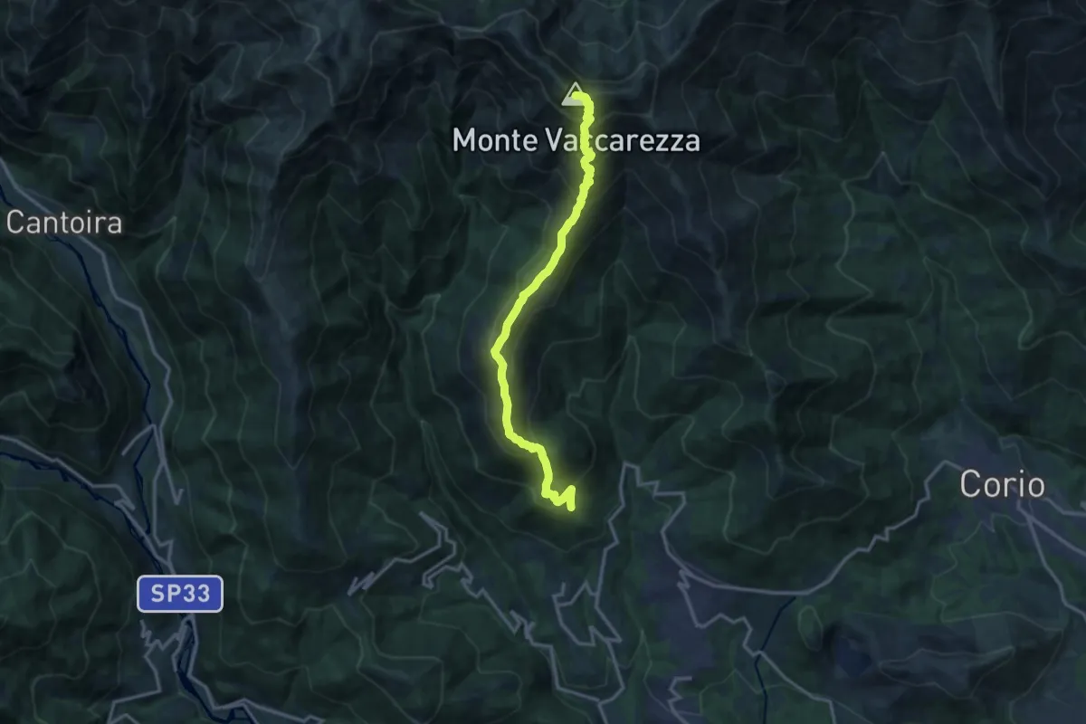
Demanding · Summit
Betta – Bivio 408B-409, Cima Vaccarezza
14.1 km · ↑ 1303 m · 6 h 9 min
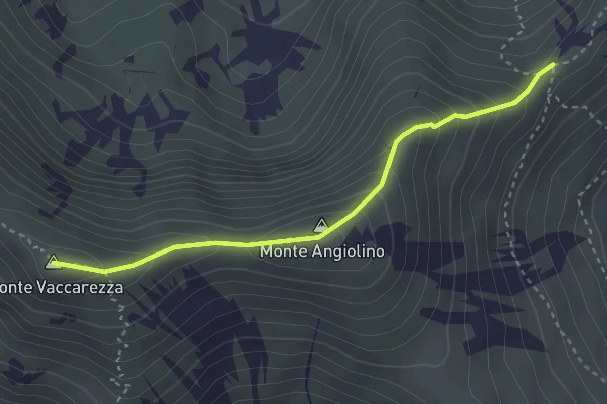
Medium · Summit
Bivio 409-409B, Cima Vaccarezza – Bivio 409B-411A, Colle Croce d'Introur
2.8 km · ↑ 246 m · 1 h 12 min
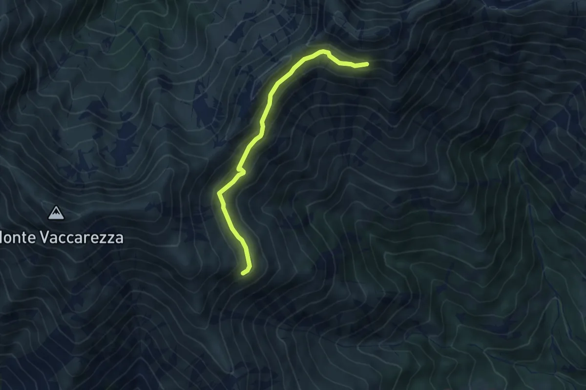
Medium · Cabin
Bivio 411-411A, Rifugio Peretti Griva – Bivio 411-411A, Alpe dell'Uja
5.2 km · ↑ 262 m · 1 h 47 min
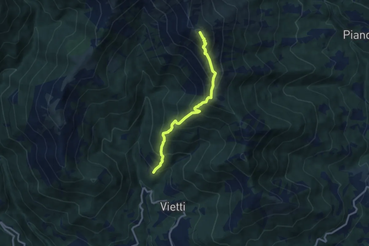
Demanding · Summit
Saccona – Bivio 411-416, Pian Frigerole
7.1 km · ↑ 809 m · 3 h 26 min
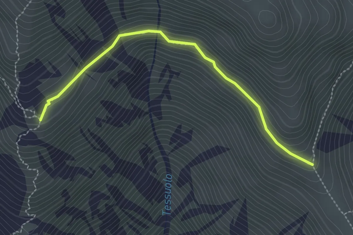
Medium · Trail
Bivio 409-409A, Alpe Vaccarezza – Bivio 409A-411, Alpe Pian Frigerole
2.7 km · ↑ 126 m · 54 min
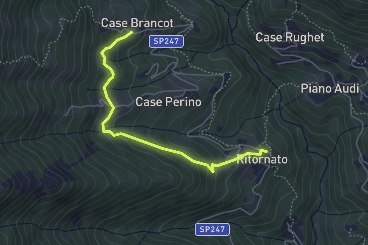
Easy · Trail
Bivio 415-415A, Ritornato – Bivio 411-415A, Case Brancot
4.3 km · ↑ 255 m · 1 h 34 min
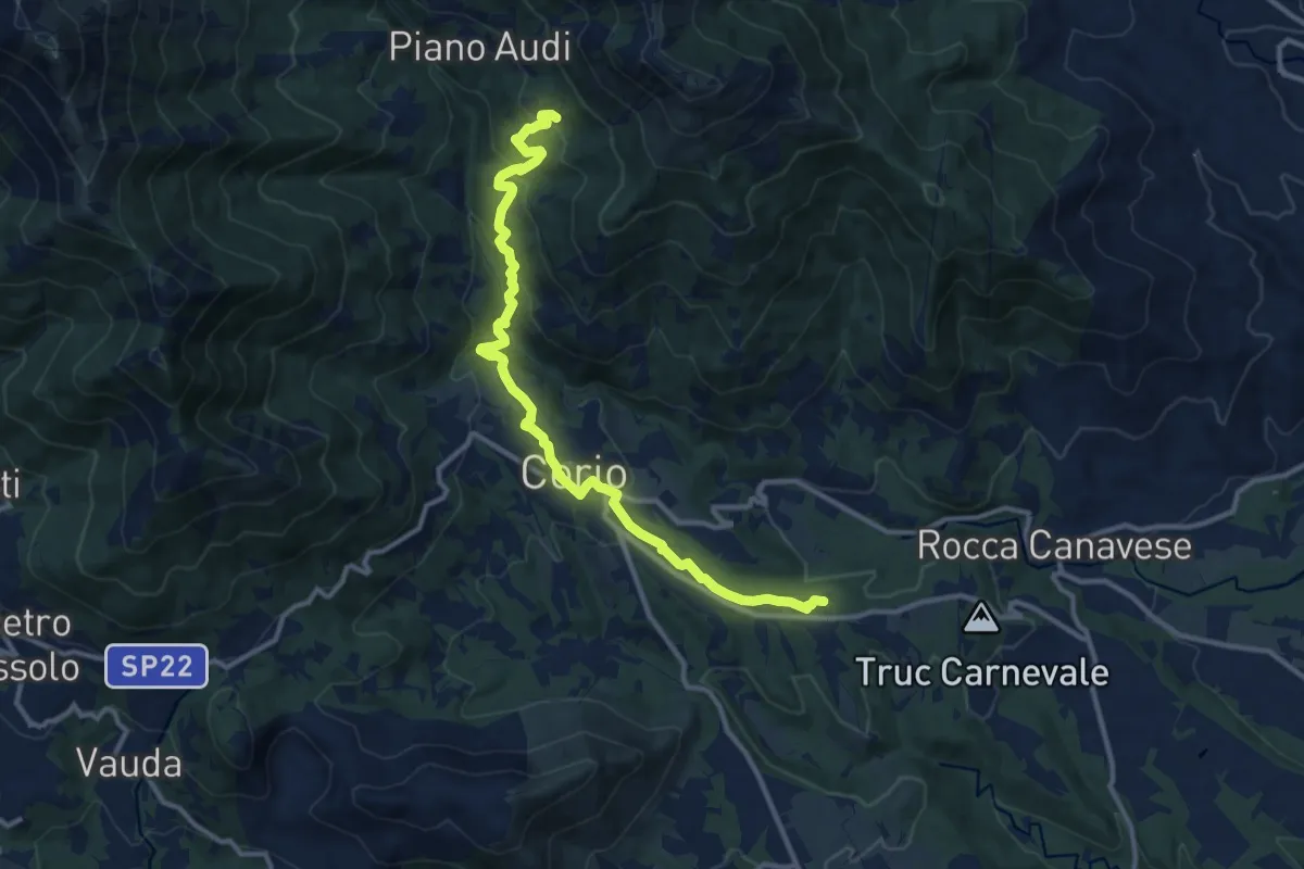
Medium · Trail
Bivio 412-415, Pescivivi – Case Fassero
12.9 km · ↑ 518 m · 4 h 10 min
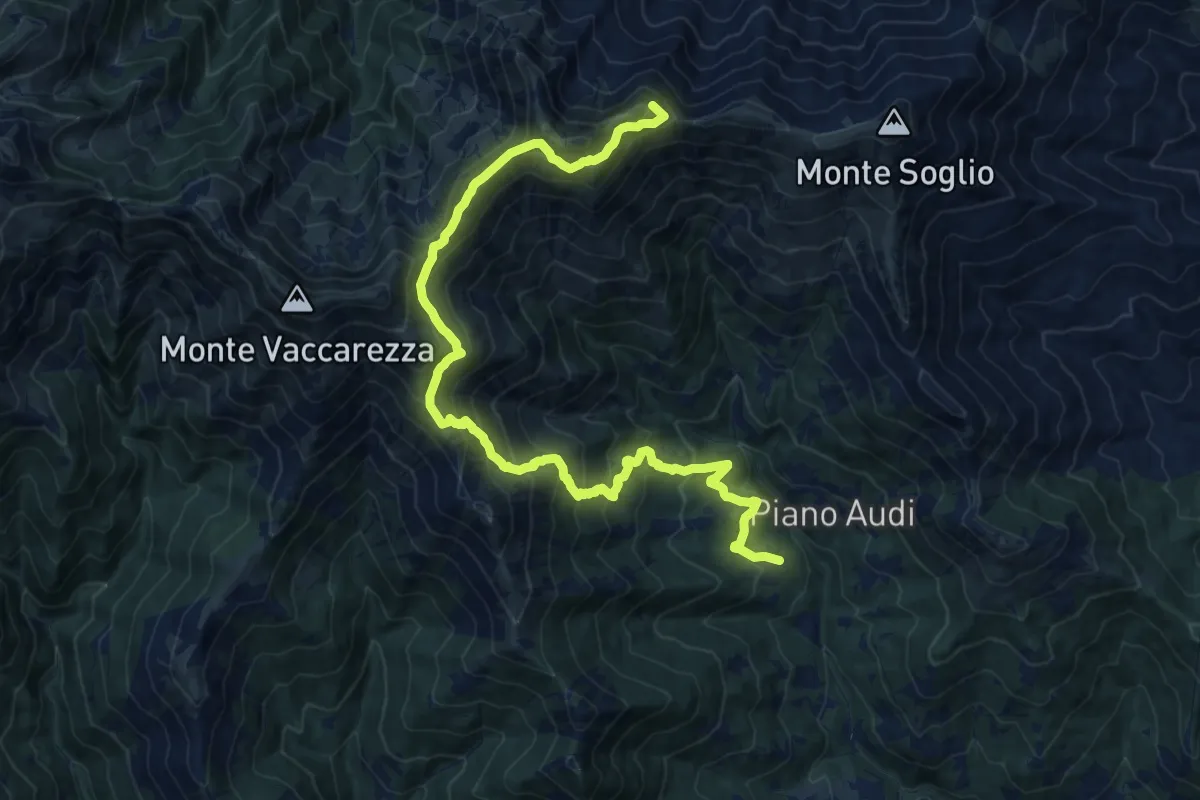
Demanding · Summit
Bivio 411-415, Ritornato – Bivio 401-411, Alpe Rossolo
20.1 km · ↑ 1627 m · 8 h 17 min
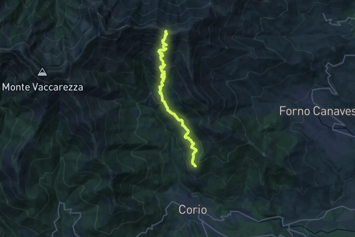
Demanding · Trail
Bivio 410-416, Trinità – Bivio 411-416, Monte Soglio
15.3 km · ↑ 1172 m · 6 h 10 min
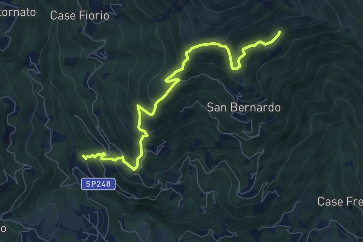
Medium · Trail
Bivio 410-412, Pescivivi di Corio – Bivio 410-417, Case Ser
7.7 km · ↑ 596 m · 3 h 7 min
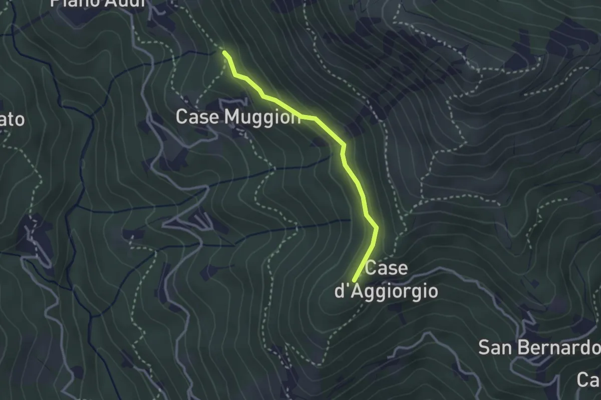
Easy · Trail
Bivio 410-410AC, Coille Matteo – Bivio 410A-416, Case Muggion
2.5 km · ↑ 114 m · 50 min
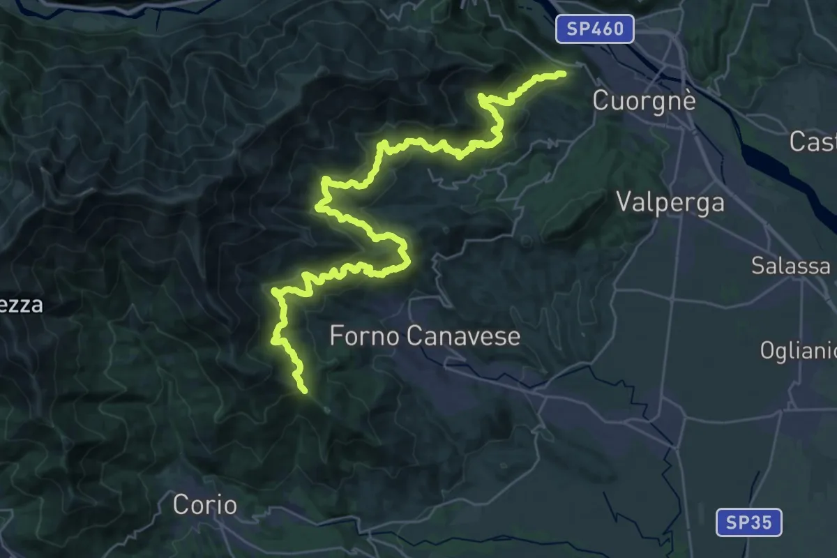
Demanding · Trail
Bivio 416A-452-461, Madonna di Bandito – Bivio 452-456, Giaudrone
19.7 km · ↑ 1196 m · 7 h 20 min
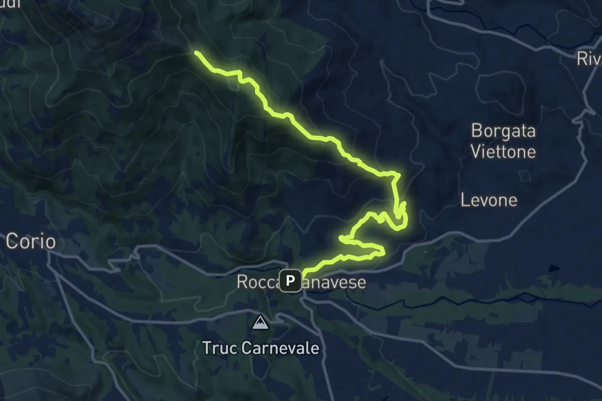
Medium · Trail
Rocca Canavese, Bivio TON461-TON465 – Bivio 452-461, Madonna di Bandito
15.4 km · ↑ 741 m · 5 h 14 min
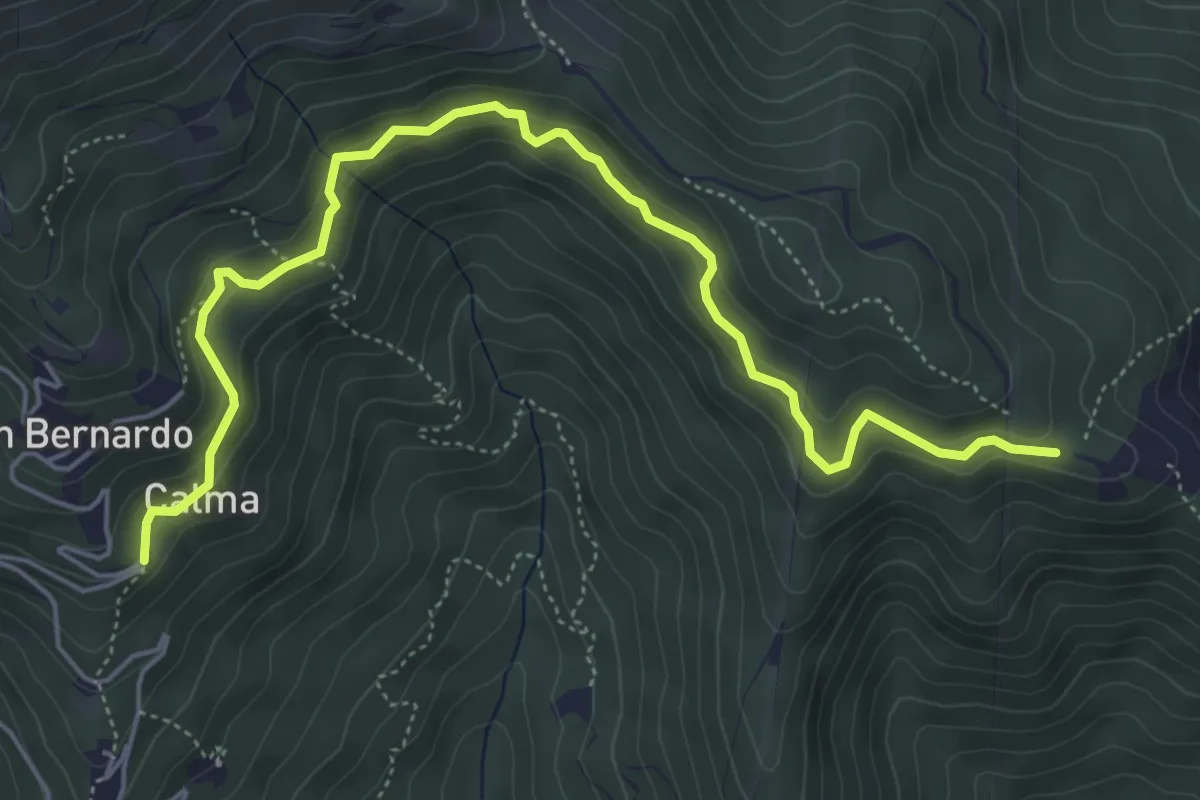
Medium · Trail
Bivio 417-417A, Calma – Bivio 417A-461, Madonna della Neve
6.3 km · ↑ 324 m · 2 h 11 min
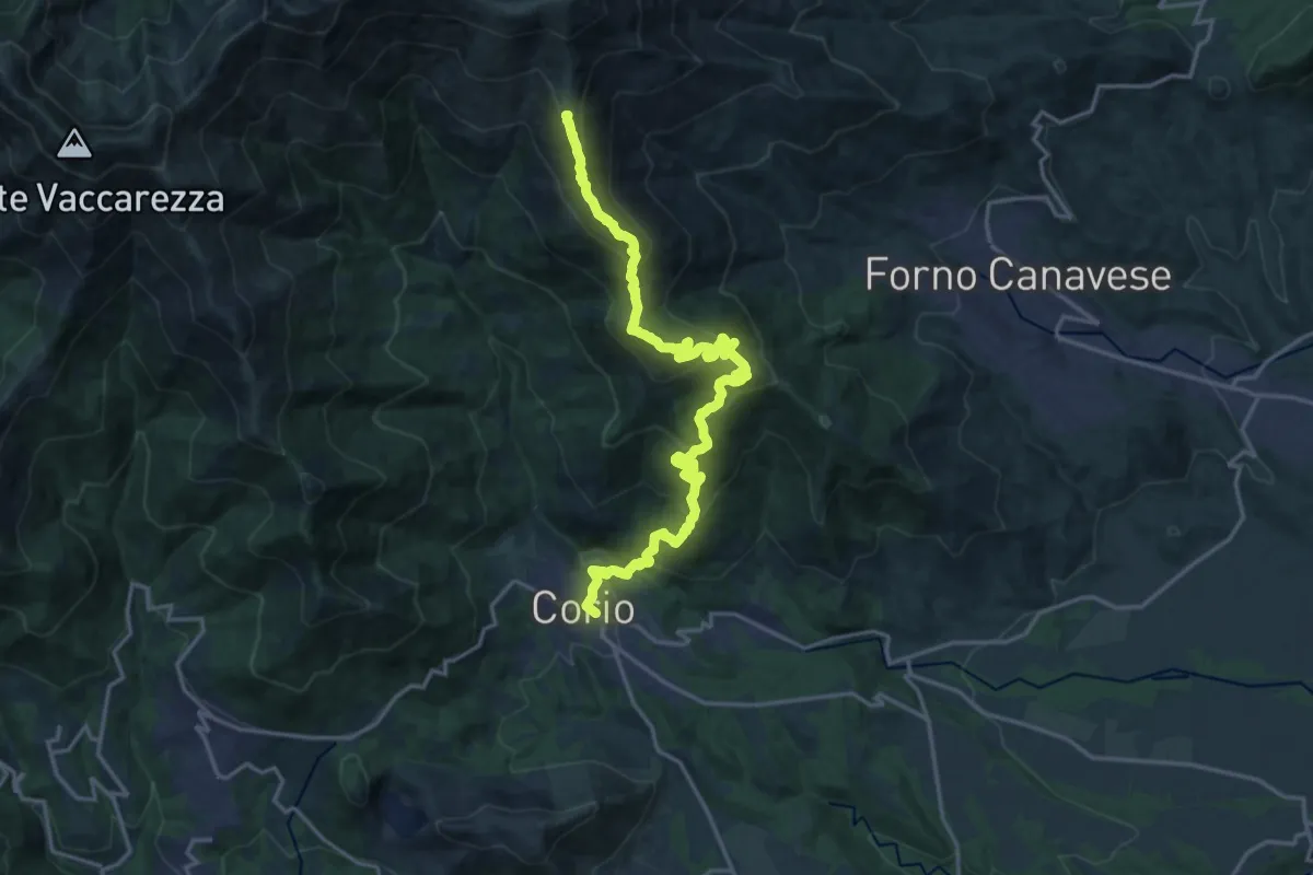
Demanding · Summit
Corio, Centro, bivio TON412 -TON417 – Corio, Pian di Bensi, bivio TON401A -TON417
20.8 km · ↑ 1353 m · 7 h 51 min
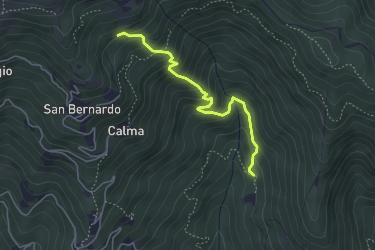
Medium · Trail
Bivio 418-418B, Case Coup – Bivio 417-418B, San Bernardo
3.8 km · ↑ 364 m · 1 h 40 min
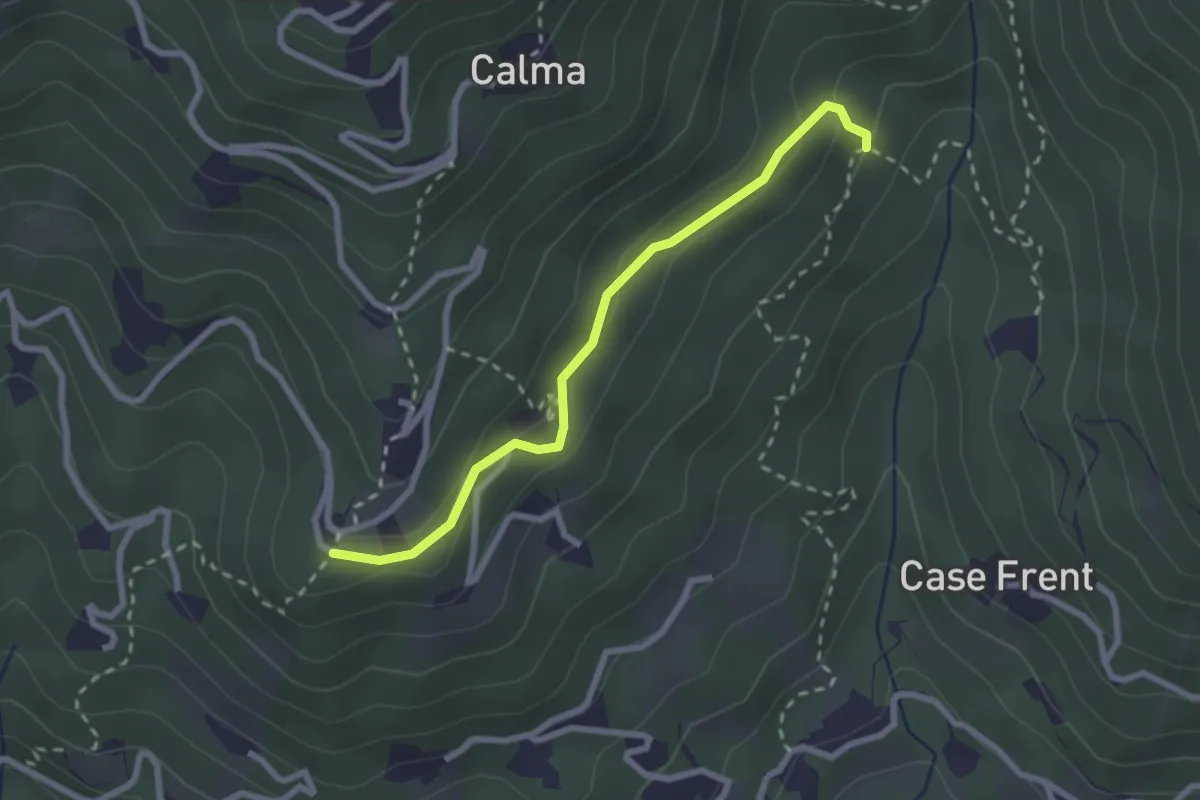
Easy · Trail
Bivio 417-418A – Bivio 418-418A
2.5 km · ↑ 115 m · 50 min
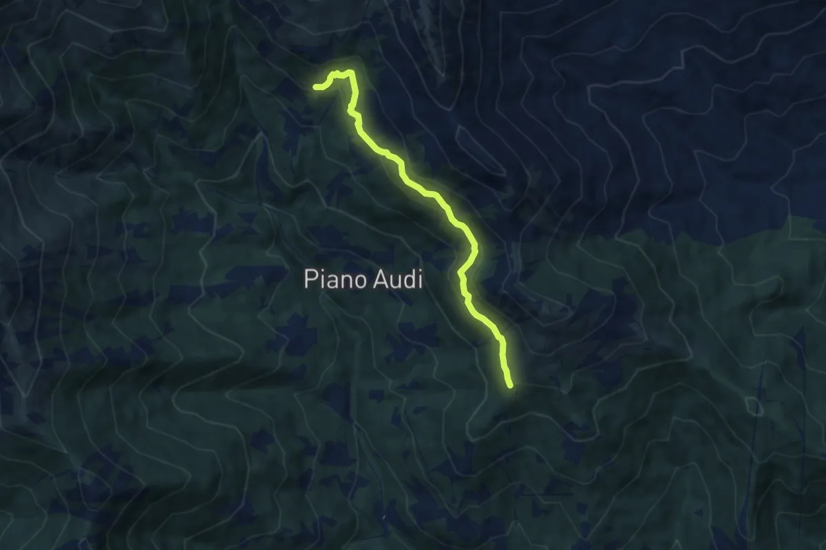
Medium · Trail
Bivio 416A-416B, Alpe Fraschei – Bivio 416B-416C
7.4 km · ↑ 450 m · 2 h 44 min
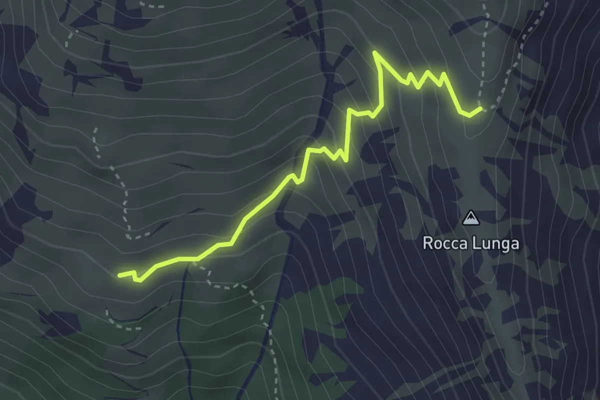
Medium · Trail
Bivio 401-401A, Pian Bensi – Bivio 401A-416, Alpe Mecio
3.3 km · ↑ 258 m · 1 h 20 min
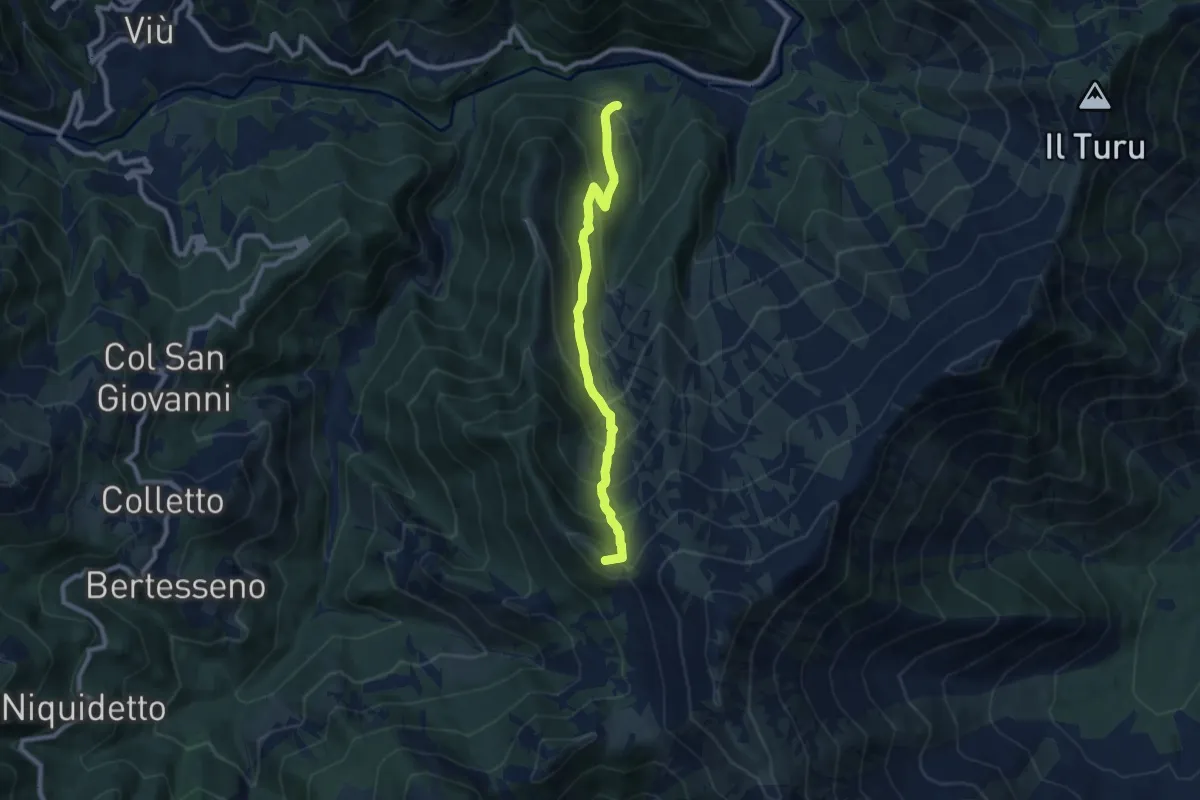
Medium · Summit
Bivio 102-102D, Molar del Lupo – Bivio 102A-102D, Colle Grisoni
8.3 km · ↑ 721 m · 3 h 32 min