Trails in Italy
25,219 hiking trails, each with its route, climb, walking time and grade.
All trails, page 497 of 526
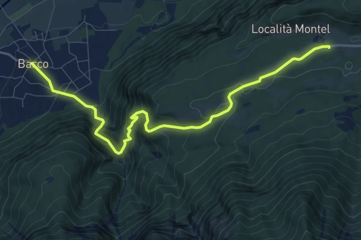
Medium · Trail
Barco – Sella - parcheggio presso ristorante Carlon
10.3 km · ↑ 647 m · 3 h 50 min
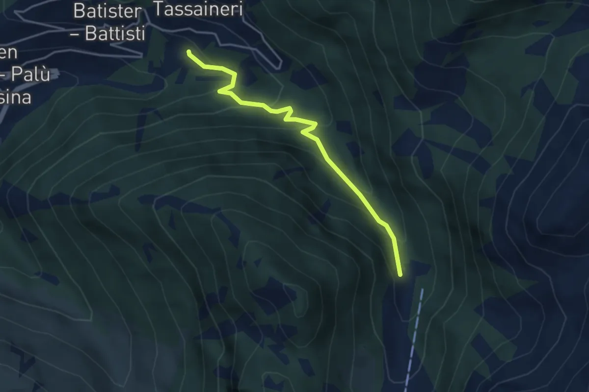
Easy · Trail
Presso Understoll - Palù del Fèrsina (bivio 325) – Presso Maso Lenzi (bivio 325)
3.6 km · ↑ 258 m · 1 h 24 min
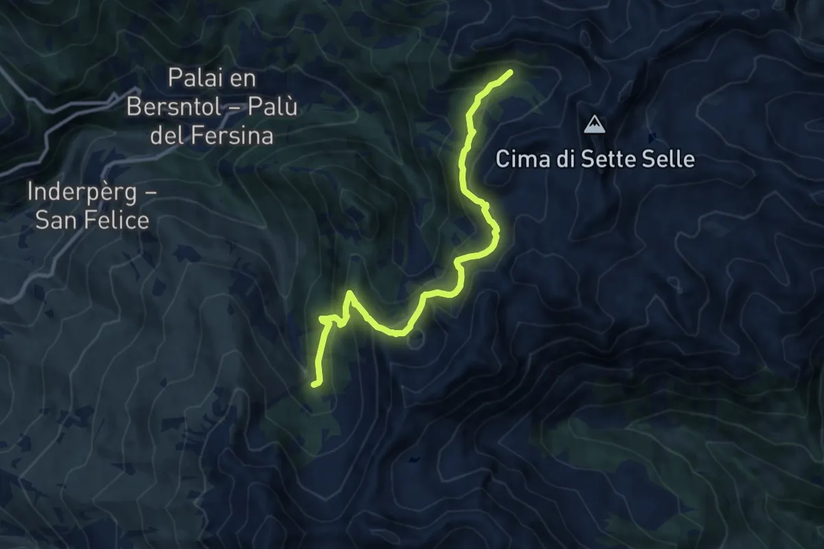
Demanding · Trail
Valcava - Baita Balkofhitt – Indertol (bivio 343)
10.8 km · ↑ 834 m · 4 h 21 min
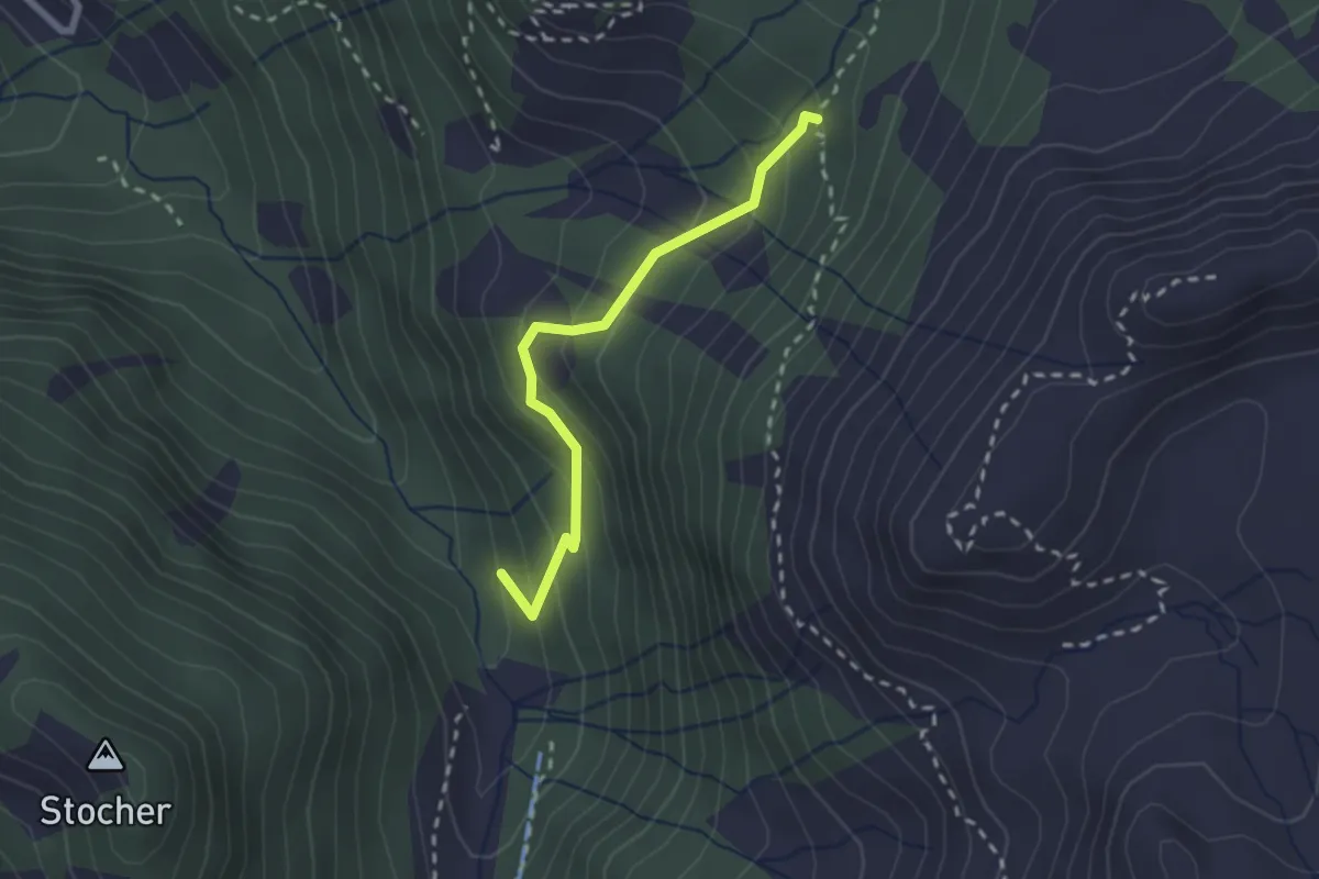
Medium · Trail
Bivio miniera - Grua Hardimbl (bivio 325) – Indertol (bivio 324)
2.2 km · ↑ 215 m · 59 min
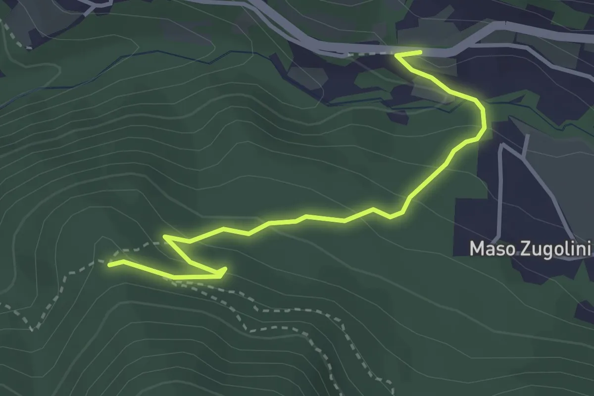
Easy · Trail
Bivio Strada Statale al Km 349 - presso Molini Valsorda – Forte Fornas (bivio 446)
3.3 km · ↑ 161 m · 1 h 8 min
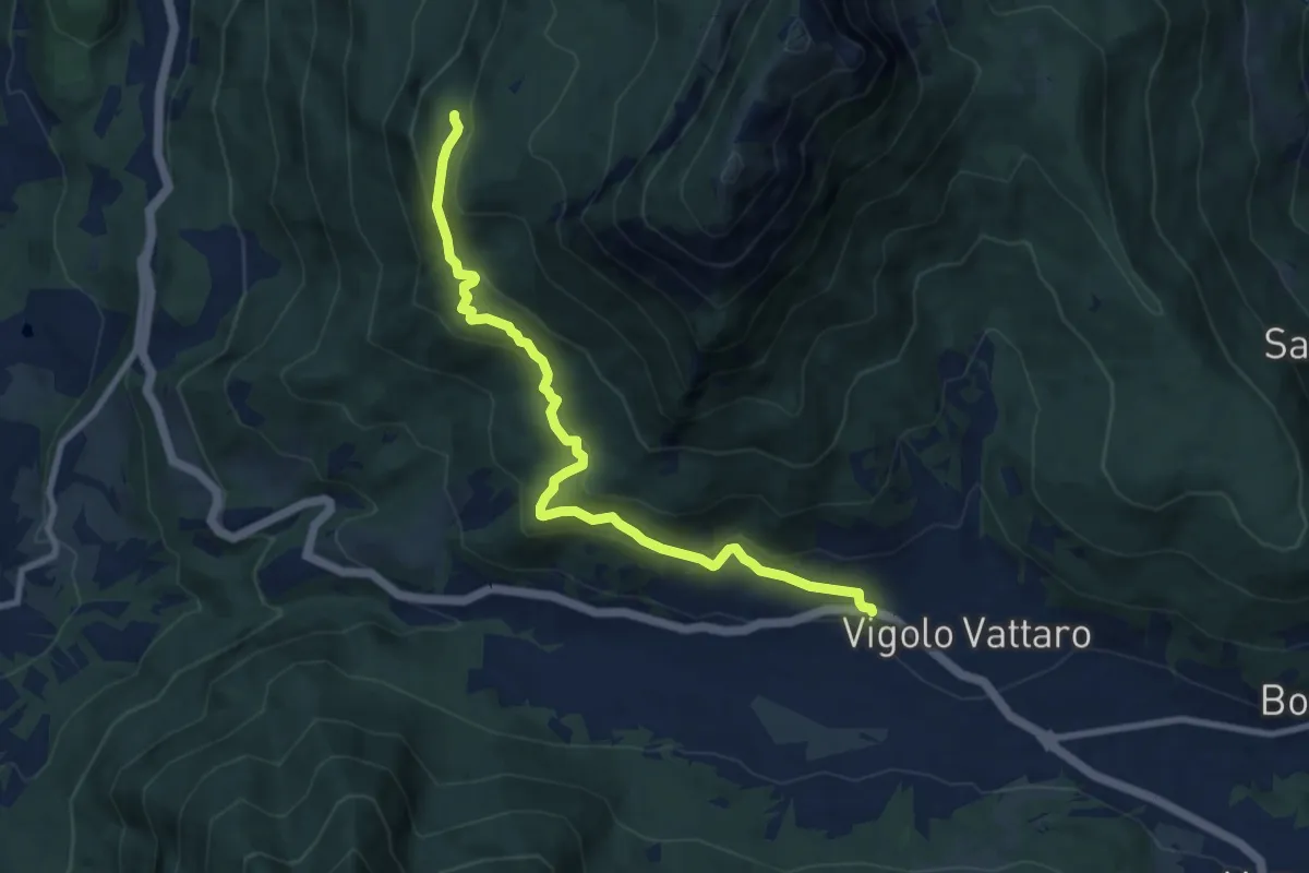
Medium · Cabin
Vigolo Vattaro – Rifugio Maranza (bivio 412 - 426 - 441 - 456)
9.2 km · ↑ 499 m · 3 h 16 min
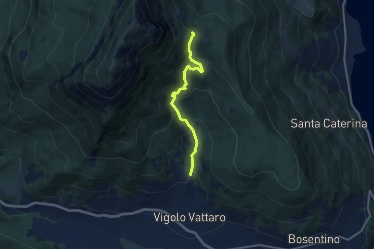
Medium · Trail
Vigolo Vattaro - Sabbionare (bivio 438) – Piani di Vigo (o di Susà)
6.2 km · ↑ 513 m · 2 h 35 min
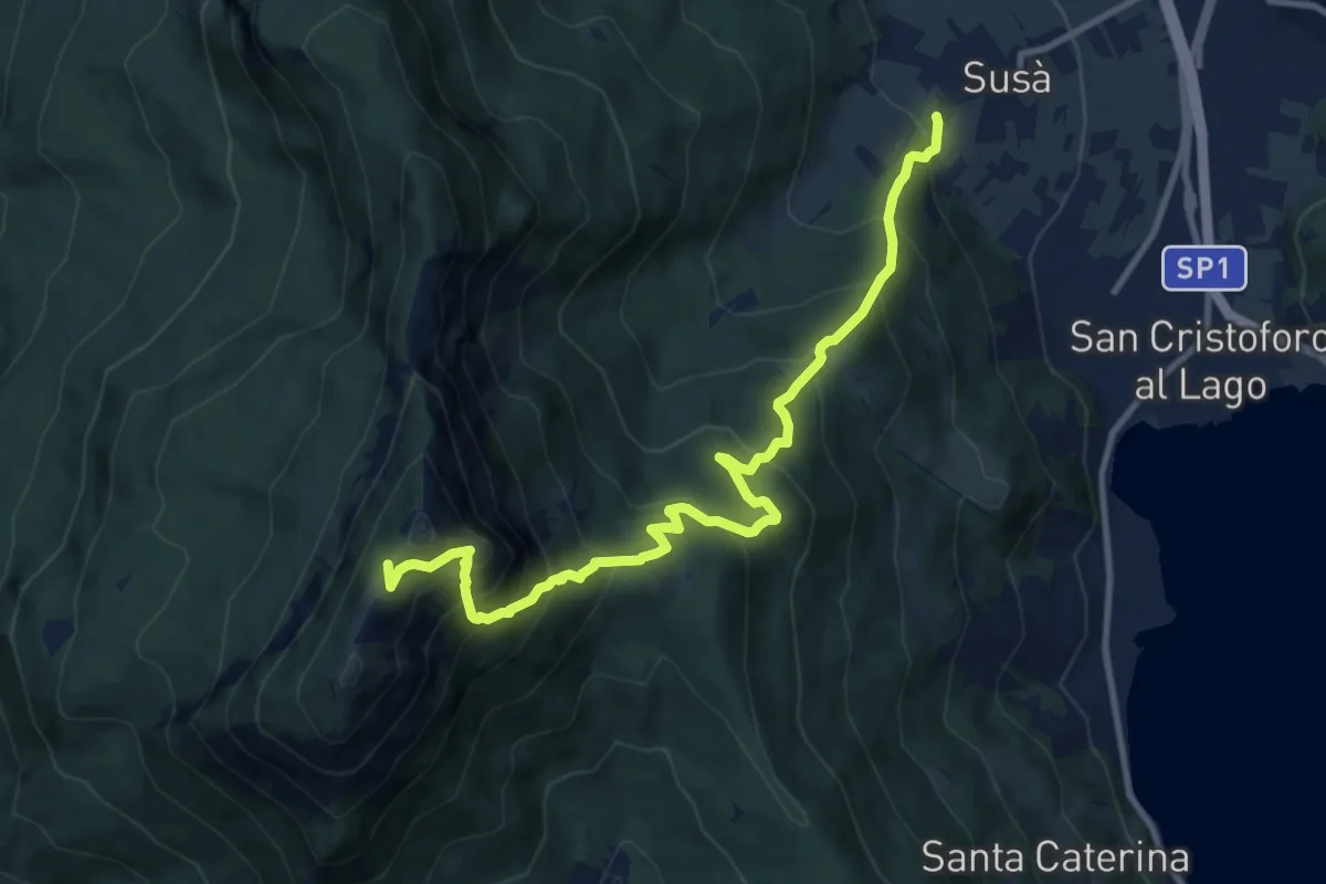
Demanding · Trail
Susà - via delle Calcare – Sella della Marzola (bivio 411 - 411A - 412)
11.3 km · ↑ 1101 m · 5 h 3 min
Demanding · Summit
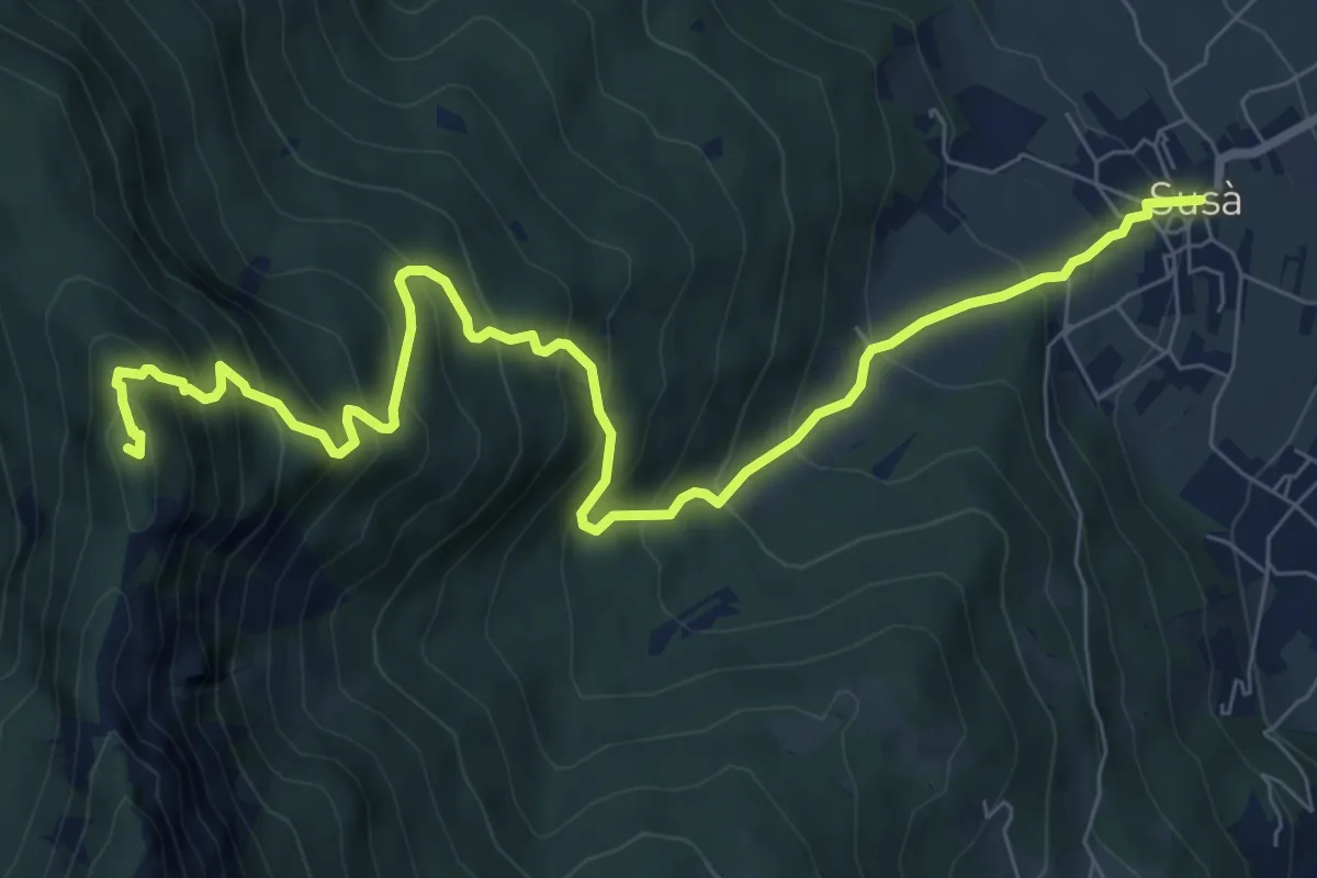
Susà - Piazza della Chiesa – Presso il Dos dei Corvi (bivio 411)
9.6 km · ↑ 912 m · 4 h 15 min
Medium · Trail
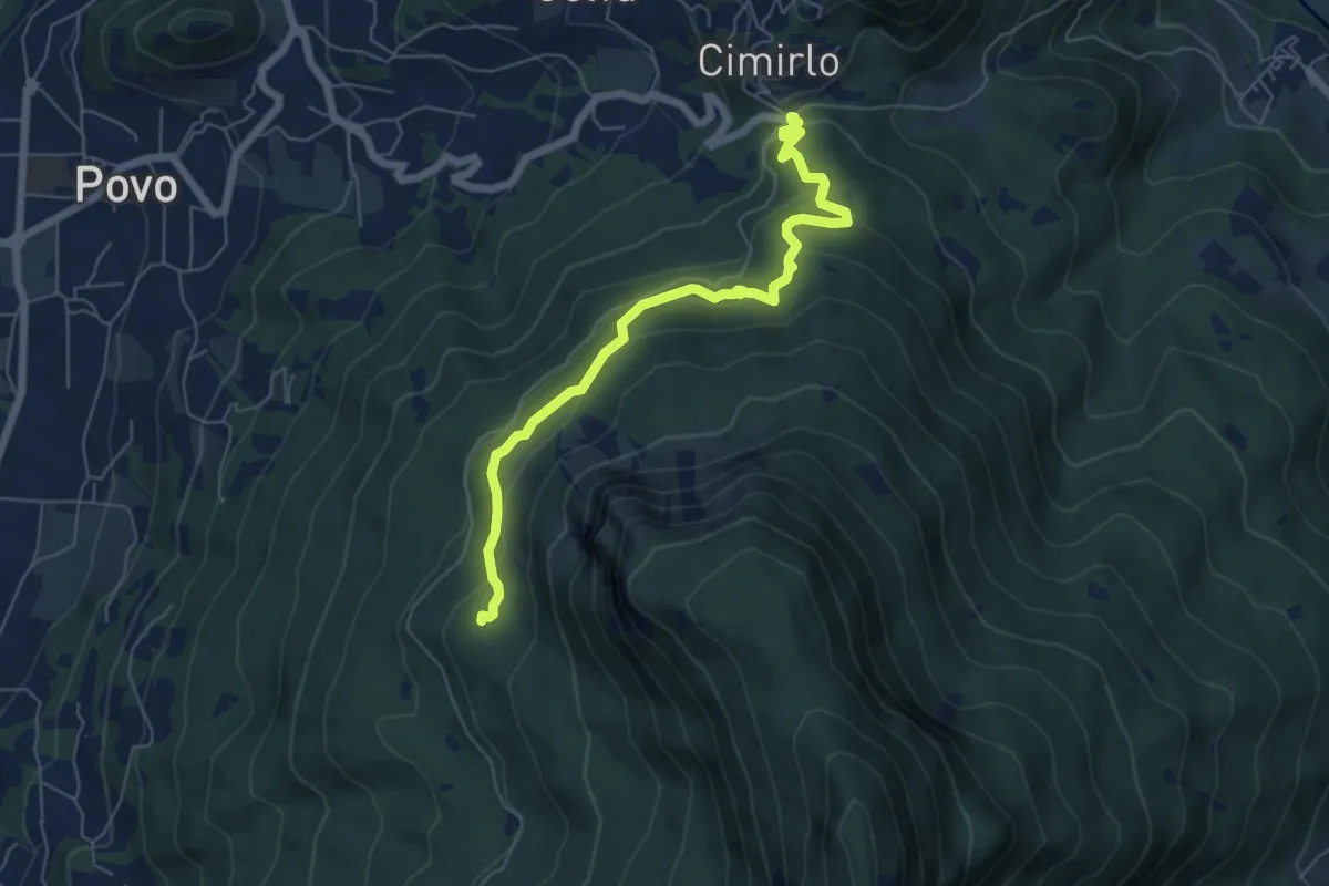
Passo del Cimirlo – Busa Granda (bivo 413)
6.3 km · ↑ 277 m · 2 h 5 min
Medium · Trail
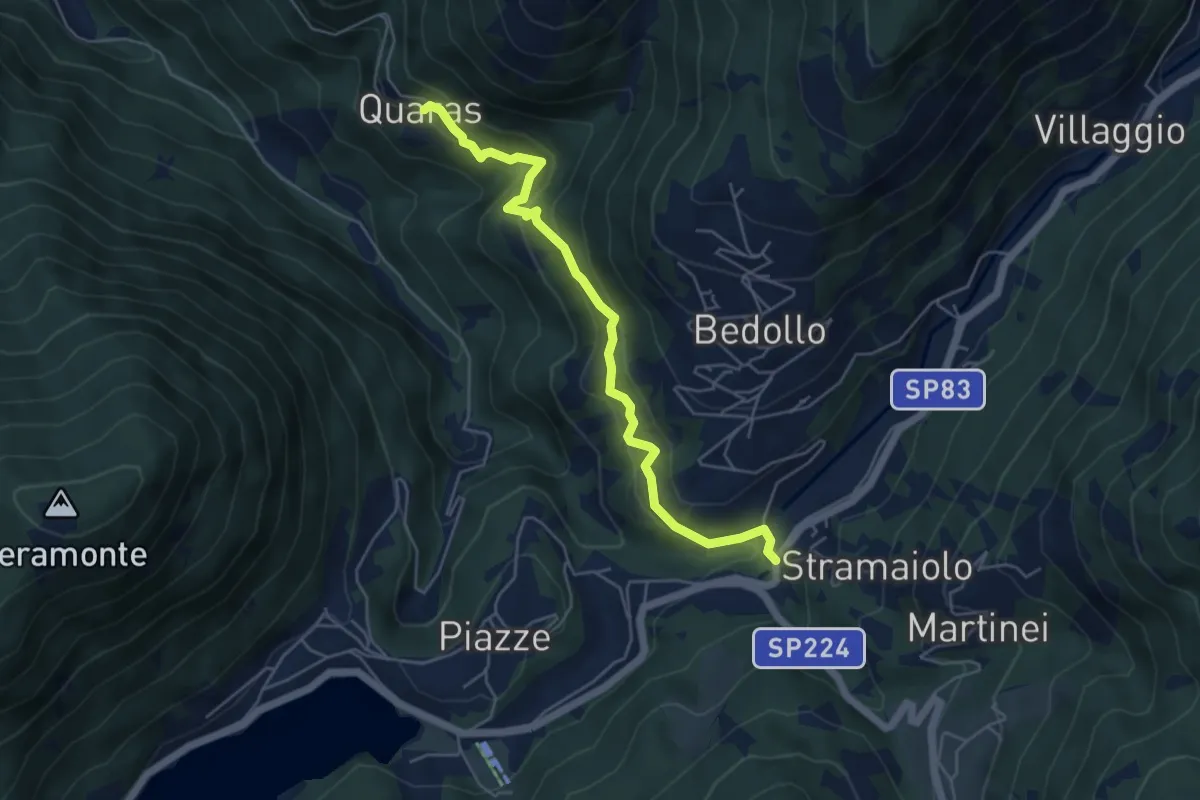
Quaras – Centrale di Bedollo (bivio 443)
5.2 km · ↑ 322 m · 1 h 55 min
Medium · Trail
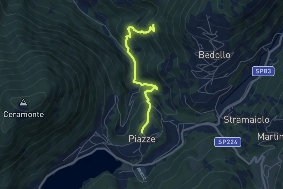
Presso il Mas dei Saili (bivio 406B) – Piazze
4.6 km · ↑ 447 m · 2 h 3 min
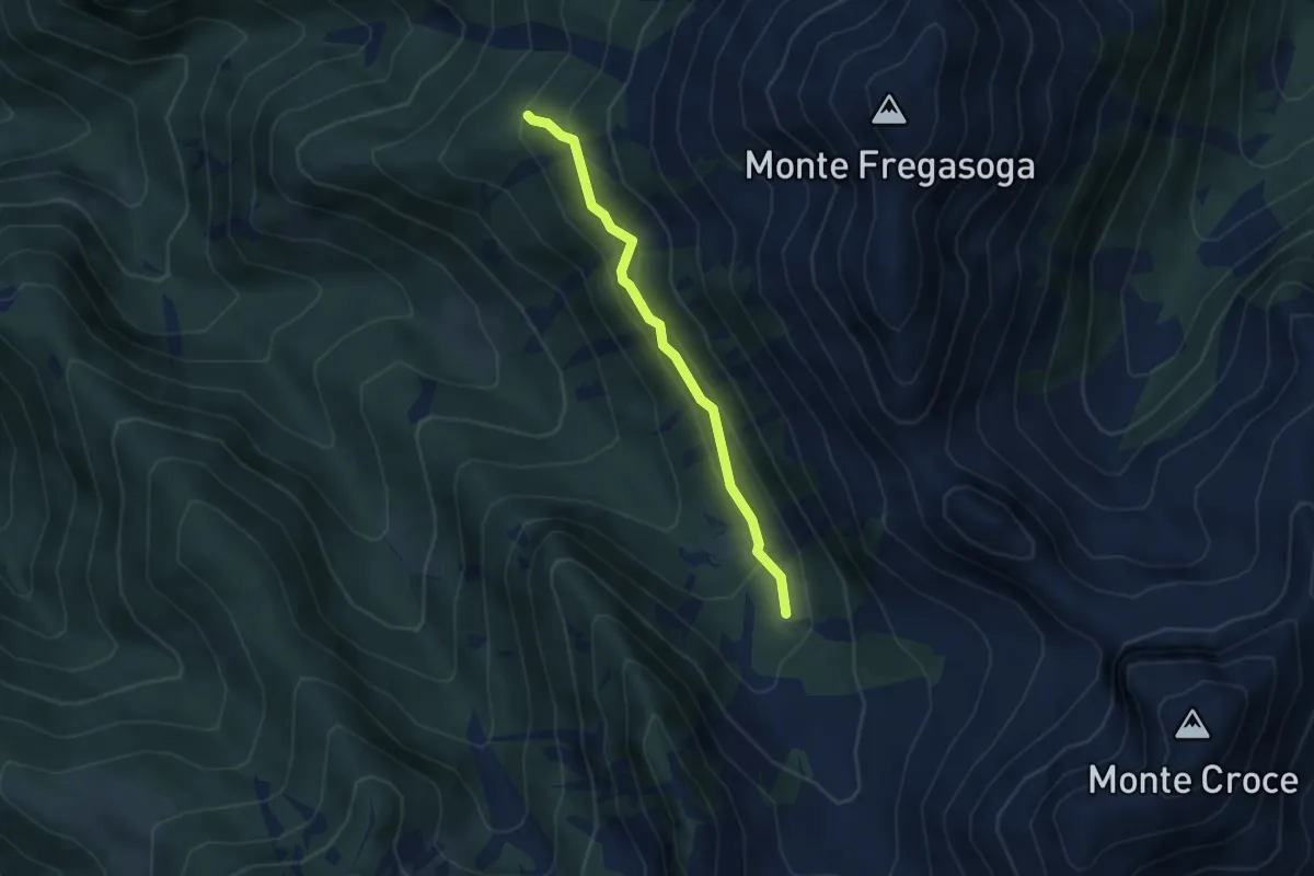
Medium · Trail
Ex Malga Casarine - ruderi (bivio 407 - 423) – Quota 1897 (bivio 468)
3.5 km · ↑ 239 m · 1 h 20 min
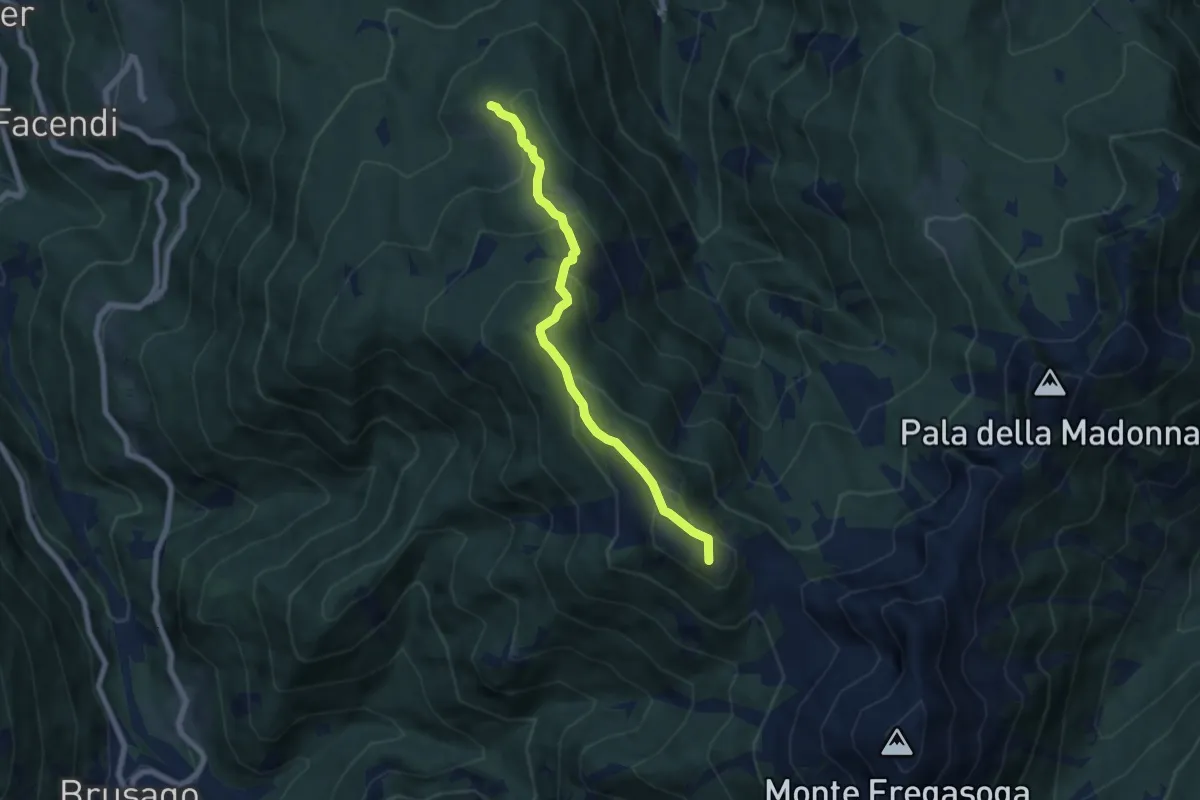
Medium · Summit
Malga Vernera bassa (bivio 468) – Passo Mirafiori o dei Vasoni (bivio 470)
6.5 km · ↑ 471 m · 2 h 34 min
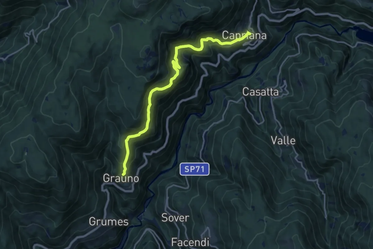
Demanding · Trail
Grauno – Capriana
13.3 km · ↑ 852 m · 5 h
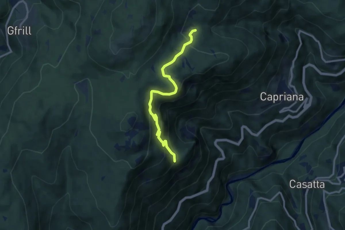
Medium · Trail
Lion (bivio 481) – Presso Beatrisi (bivio 483)
6.9 km · ↑ 426 m · 2 h 33 min
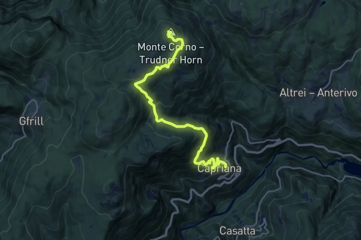
Demanding · Summit
Capriana - Chiesa (bivio 482) – Monte Corno
13.6 km · ↑ 847 m · 5 h 2 min
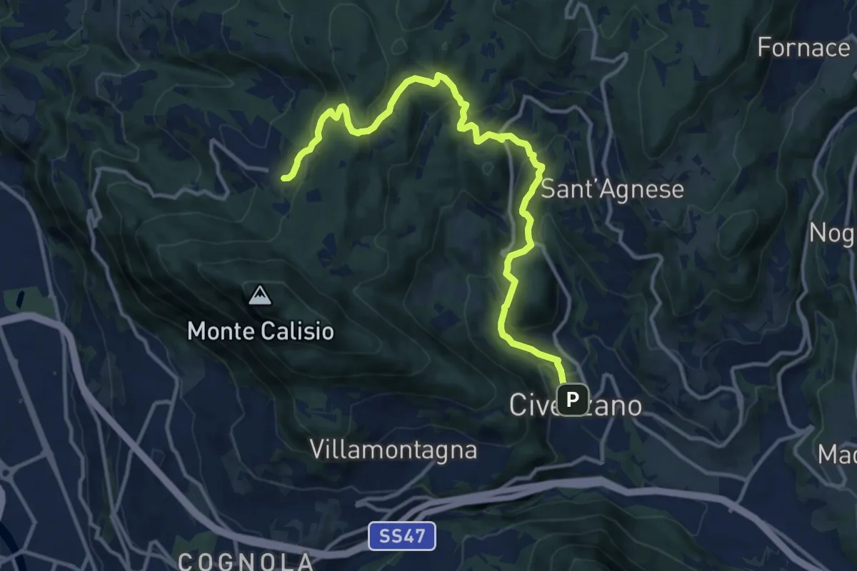
Medium · Trail
Civezzano - Castel Telvana (bivio 403) – Montevaccino di sopra (bivio 430)
13.4 km · ↑ 637 m · 4 h 33 min
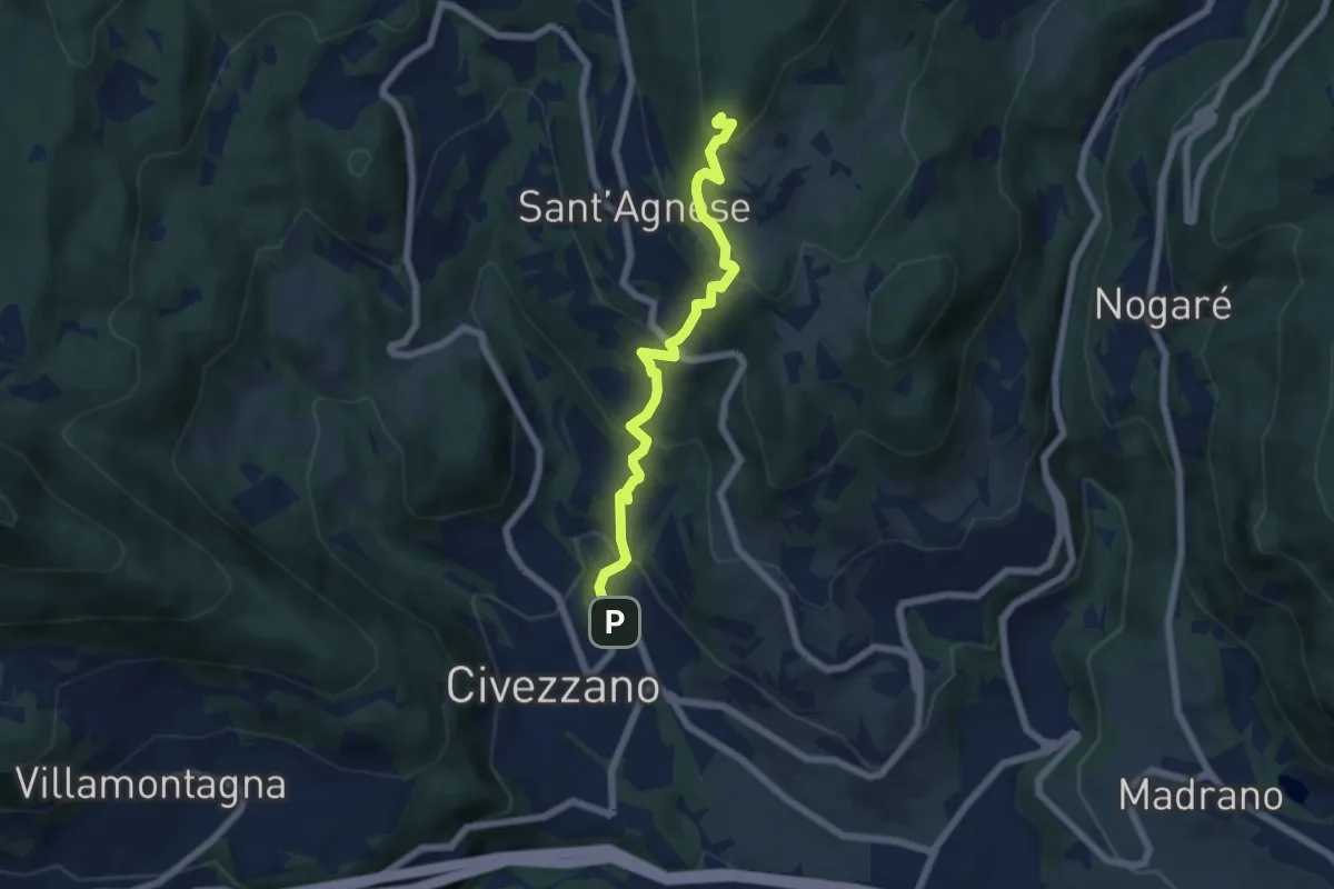
Medium · Summit
Civezzano – Montepiano (bivio 421)
5.9 km · ↑ 454 m · 2 h 23 min
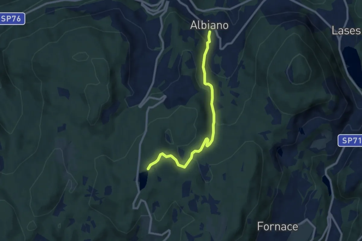
Medium · Trail
Albiano – Lago di Santa Colomba (bivio 421)
6.5 km · ↑ 325 m · 2 h 14 min
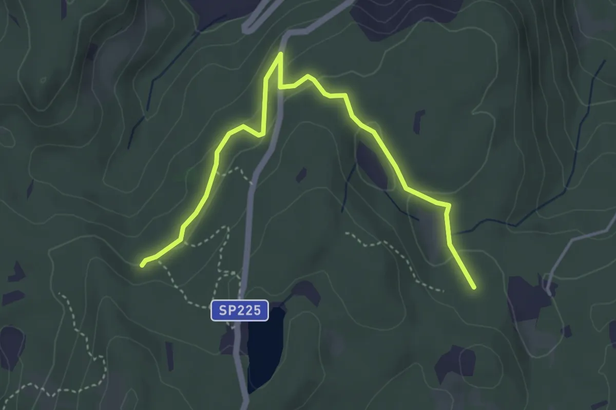
Easy · Trail
Quota 894 (bivio E473) – Prà Brogeron (bivio 421)
4.4 km · ↑ 107 m · 1 h 16 min
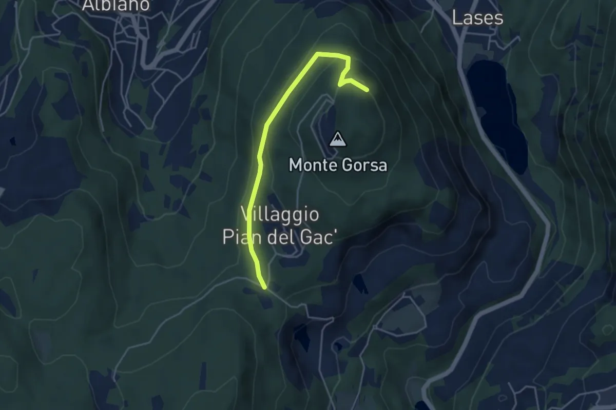
Easy · Trail
Pian del Gacc (bivio 474) – Versante nord del Monte Gorsa (bivio 474)
3.8 km · ↑ 154 m · 1 h 14 min
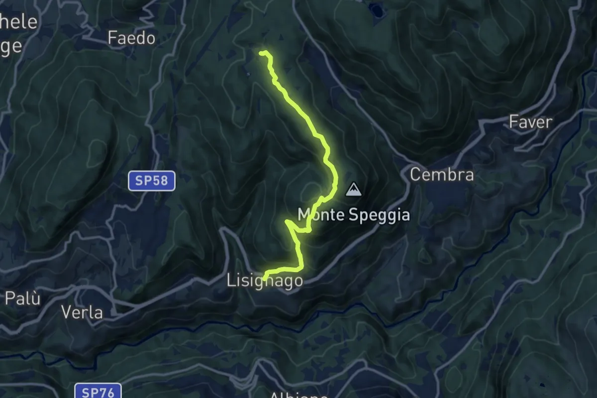
Medium · Trail
Lisignago – Capanna Maderlina (bivio 417)
10.1 km · ↑ 555 m · 3 h 36 min
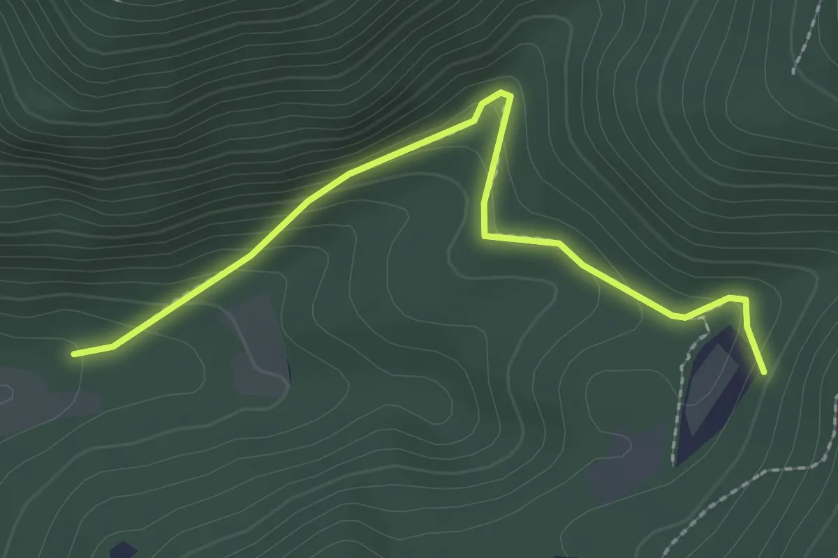
Medium · Trail
Presso le Malghe di Faedo (bivio 408) – Valborada (bivio 409)
2.4 km · ↑ 177 m · 58 min
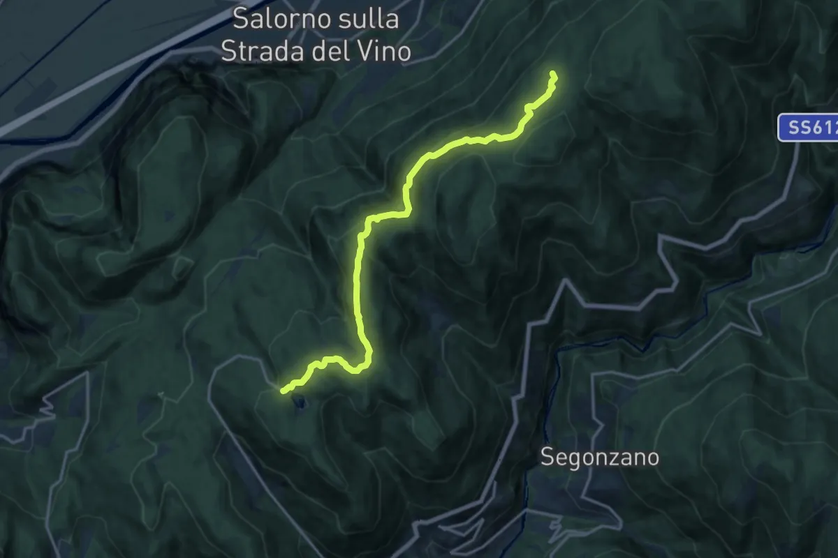
Medium · Cabin
Lago Santo (bivio Sentiero Italia - Sentiero Europeo 5 - 410 - 414 - 417) – Rifugio Potzmauer (bivio Sentiero Italia - Sentiero Europeo 5 - 480)
14.6 km · ↑ 584 m · 4 h 43 min
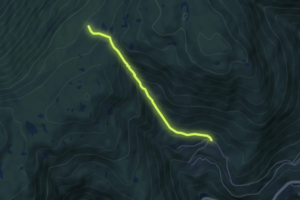
Medium · Cabin
Masi alti di Grumes - El Casèl – Rifugio Potzmauer (bivio Sentiero Italia - Sentiero Europeo 5 - 415)
4.6 km · ↑ 386 m · 1 h 55 min
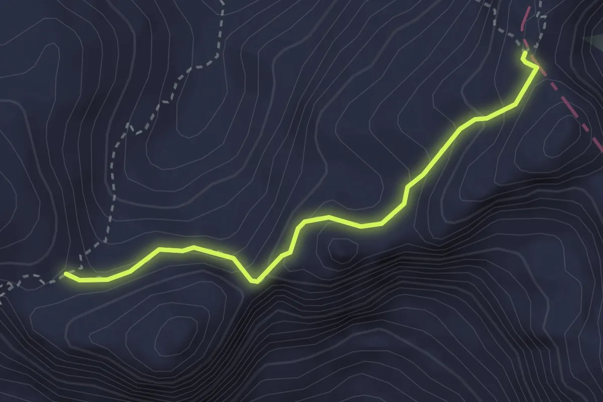
Medium · Trail
Pas de le Cirele (bivio 607) – Pas de Ombretola (bivio 612 CAI)
2.9 km · ↑ 224 m · 1 h 9 min
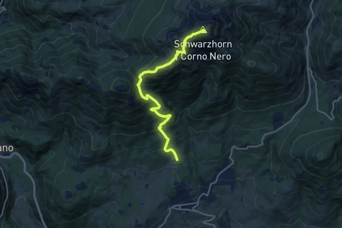
Demanding · Summit
Pozal – Quota 2031 (bivio 573)
10.3 km · ↑ 1126 m · 4 h 53 min
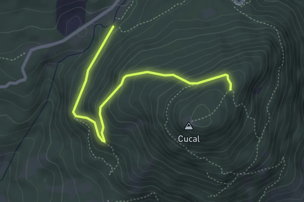
Medium · Trail
Presso il Ponte dei Francesi (bivio 503) – Prati di Monte Cucal (bivio 503)
4.7 km · ↑ 295 m · 1 h 45 min
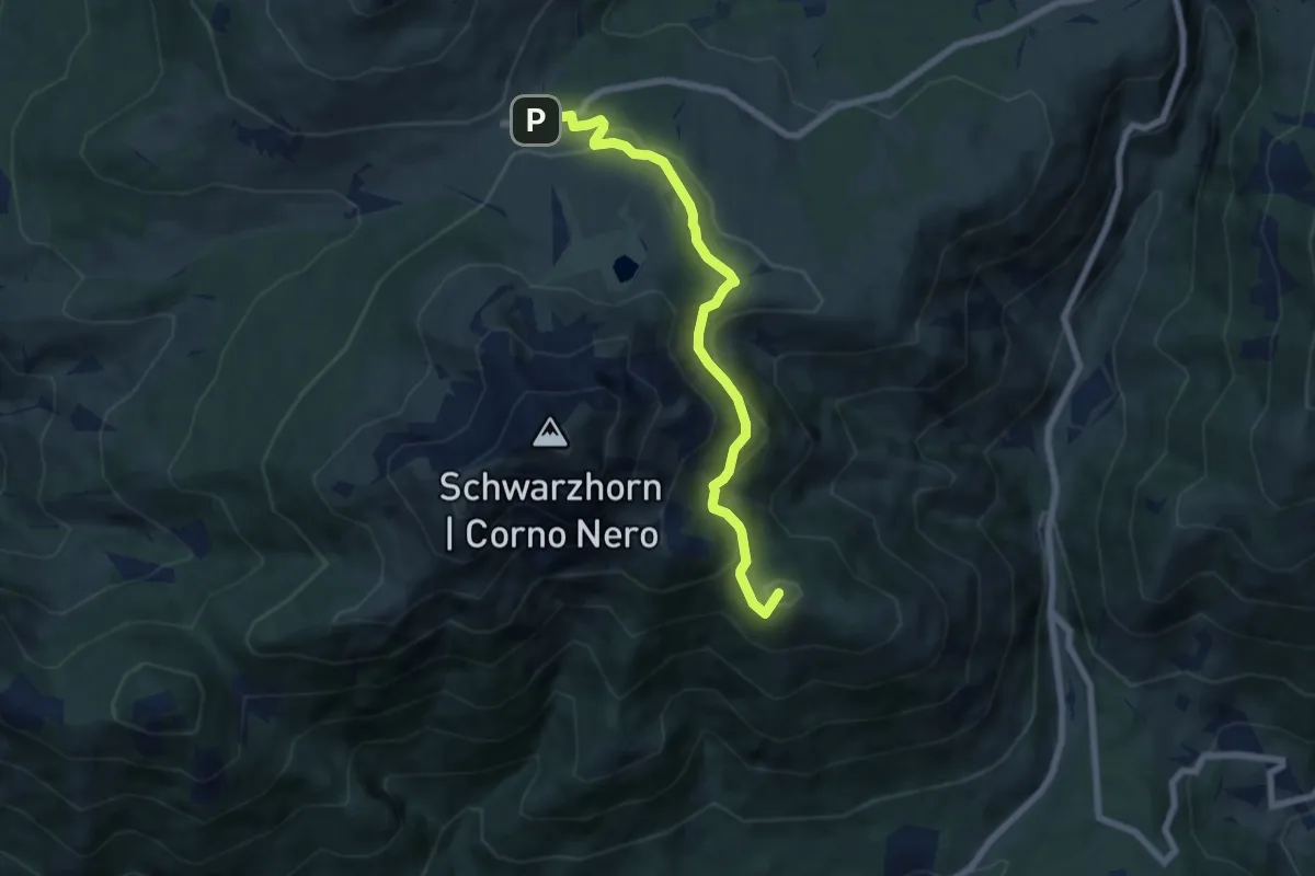
Easy · Summit
La Chiusa – Passo Oclini
6.7 km · ↑ 239 m · 2 h 6 min
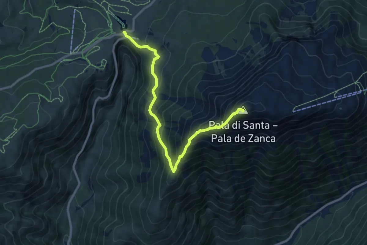
Medium · Summit
Passo di Lavazè – Pala di Santa
7.1 km · ↑ 694 m · 3 h 11 min
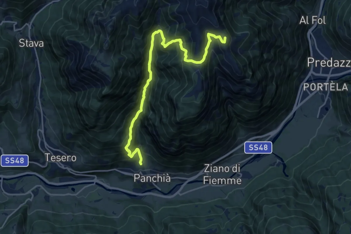
Demanding · Summit
Panchià – Van de Pelenzana (bivio 515 - 515B)
15.5 km · ↑ 1475 m · 6 h 52 min
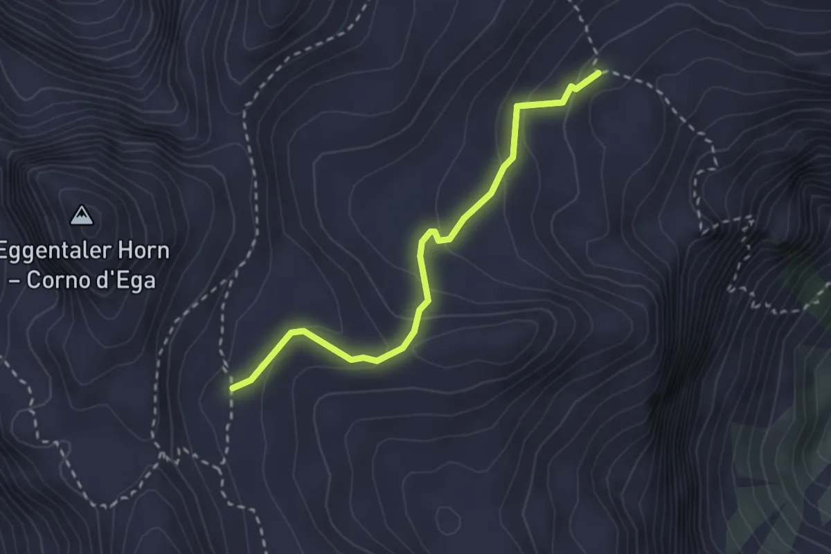
Medium · Trail
Bivacco Latemar "Attilio Sieff" (bivio 5126) – Versante est Corno D'Ega (bivio 516)
2.6 km · ↑ 158 m · 57 min
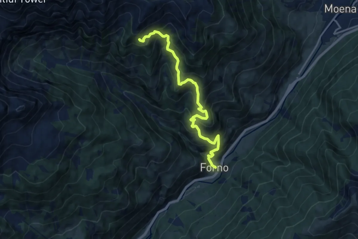
Demanding · Summit
Passo Carezza - Jouf de Ciareja – Inizio Valsorda - El Forn
10.5 km · ↑ 1070 m · 4 h 48 min
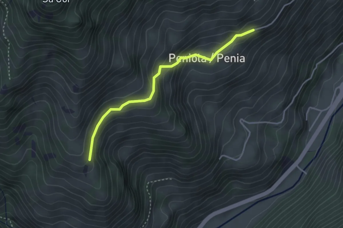
Easy · Trail
Ciancel - presso Penia (bivio 521) – Col da la Paussa - L Prà (bivio 517)
3.2 km · ↑ 154 m · 1 h 5 min
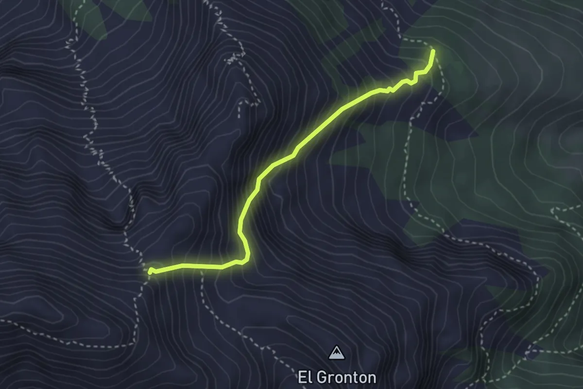
Medium · Trail
Pian de Valacia (bivio 517) – Sforcela Piccola del Latemar (bivio 18 Alpenverein Südtirol)
3.0 km · ↑ 554 m · 1 h 54 min
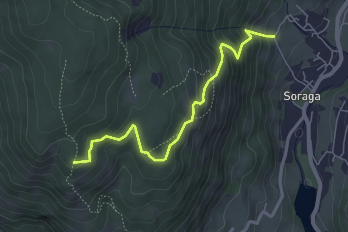
Medium · Trail
Sester - frazione di Soraga – Col da la Polenta (bivio 520)
4.7 km · ↑ 332 m · 1 h 49 min
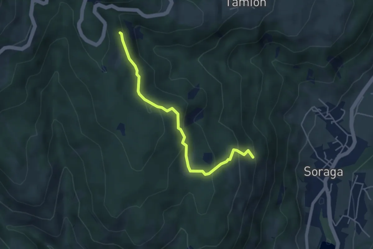
Medium · Trail
Bosch di Baic (bivio 571) – Presso Costa Bergousa (bivio 556)
4.1 km · ↑ 239 m · 1 h 29 min
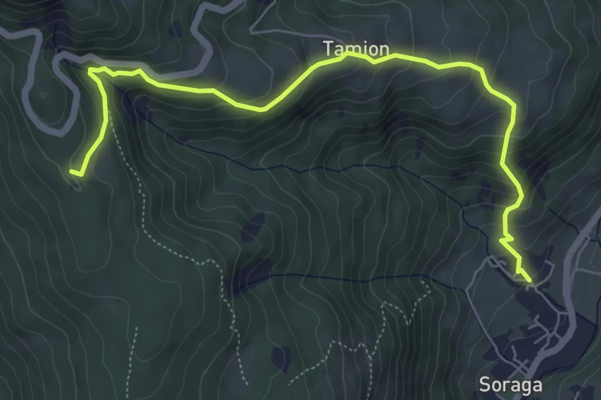
Medium · Trail
Barbida - Soraga – Pra de Carolina (bivio 520)
6.6 km · ↑ 479 m · 2 h 36 min
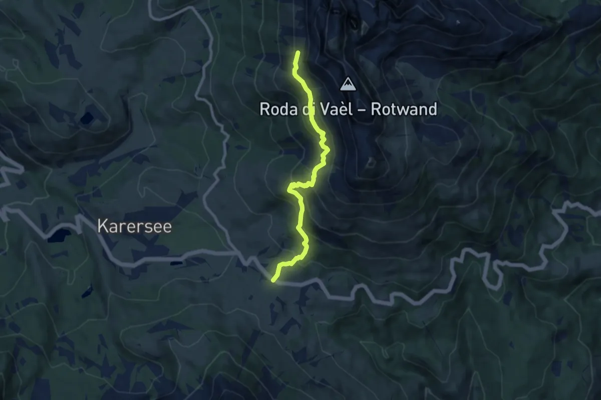
Medium · Trail
Passo Carezza – Quota 2238 (bivio 549)
7.5 km · ↑ 647 m · 3 h 11 min
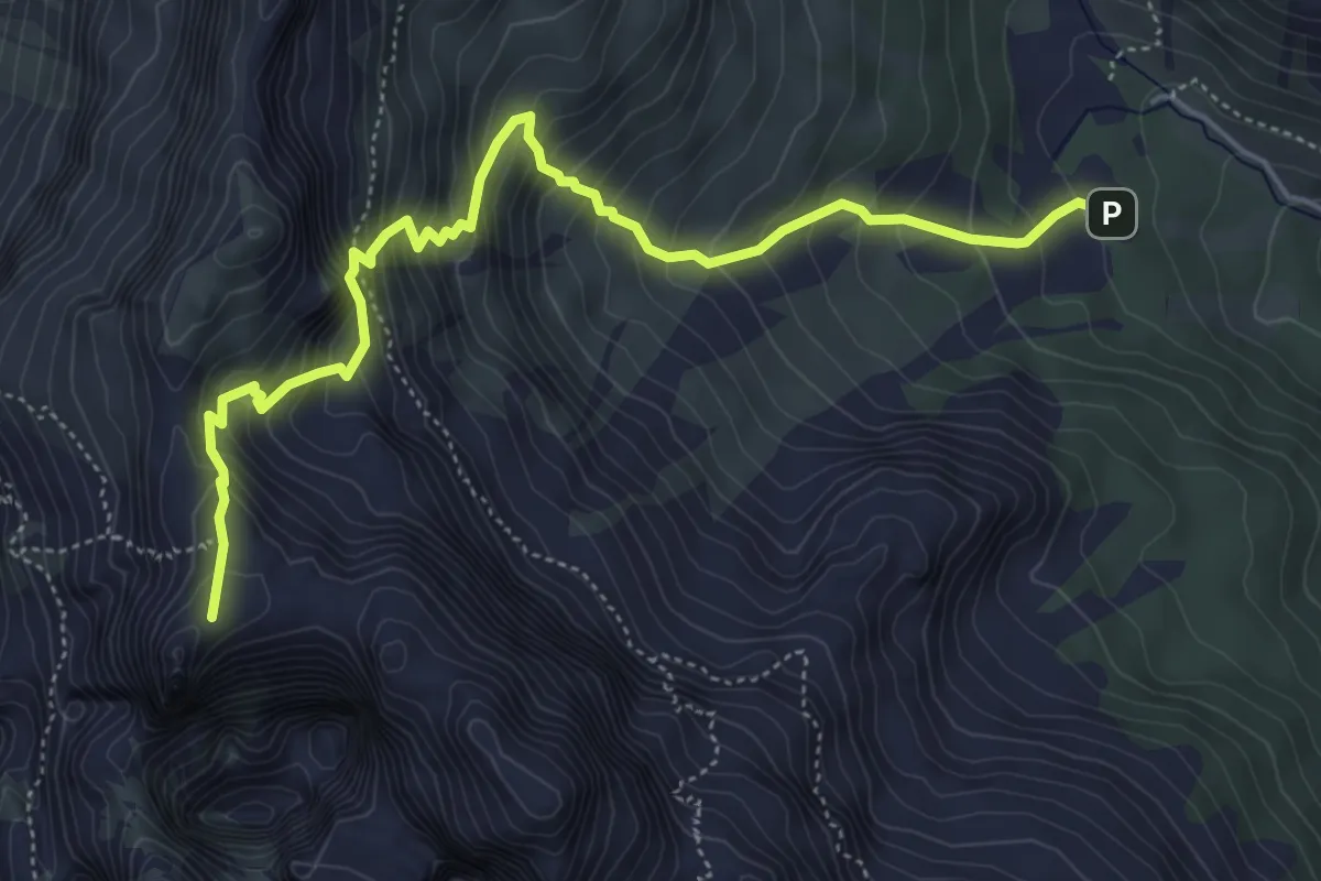
Demanding · Summit
L Couler (bivio 540) – Pas da le Coronele
5.8 km · ↑ 701 m · 2 h 53 min
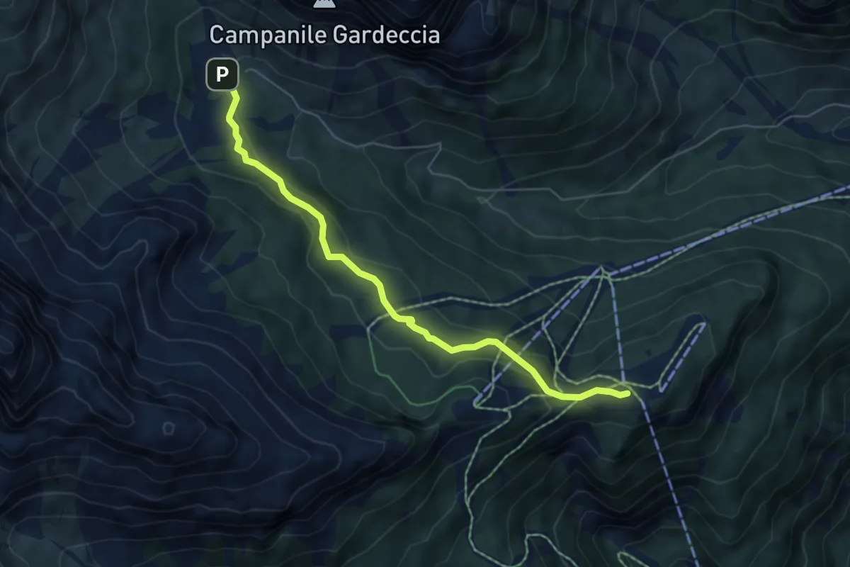
Easy · Cabin
Rifugio Ciampedìe (bivio 543 - 544 - 545) – Gardecia (bivio 546 - 583)
5.6 km · ↑ 208 m · 1 h 47 min
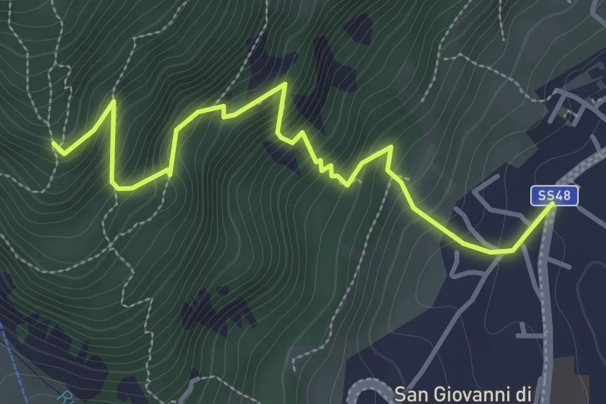
Medium · Trail
Pozza di Fassa / Poza – Pra Salorn (bivio 544)
3.4 km · ↑ 373 m · 1 h 37 min
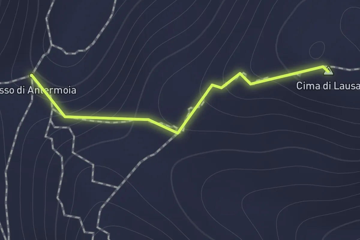
Demanding · Summit
Pas de Laussa (bivio 583) – Pas de Antermoa (bivio 584)
0.8 km · ↑ 87 m · 23 min
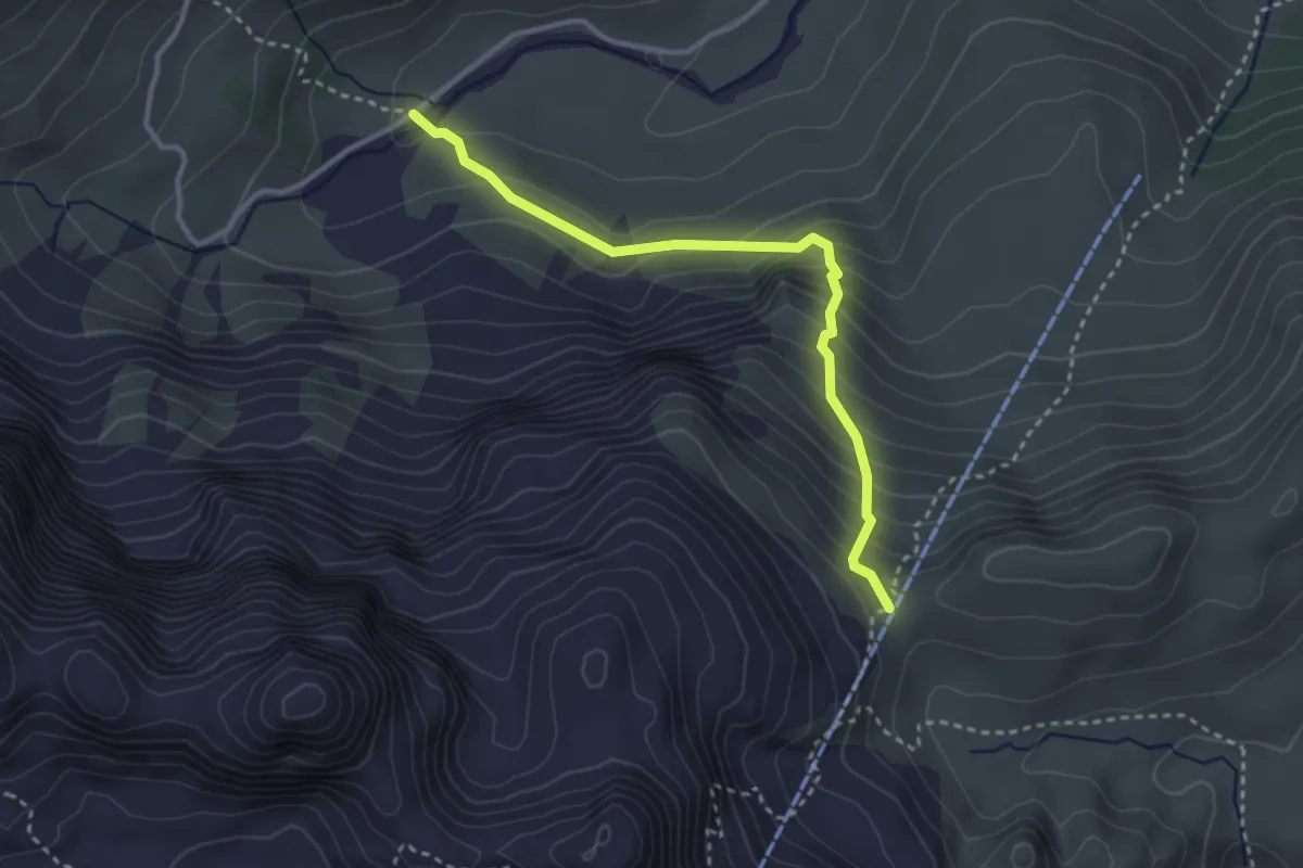
Expert · Trail
Frighela - Palazina (bivio 532) – Pas de Ciarejoles (bivio 578)
3.1 km · ↑ 324 m · 1 h 26 min
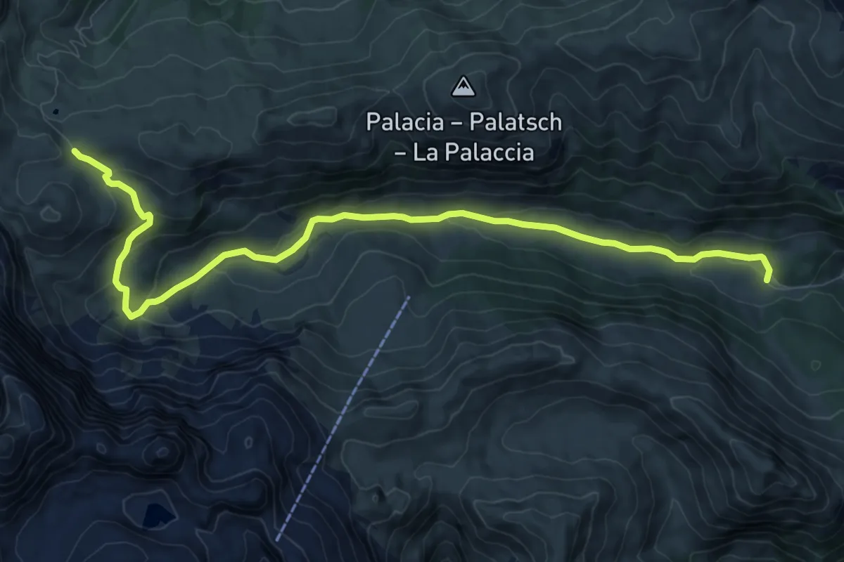
Medium · Cabin
Rifugio Micheluzzi – Pas de Duron - Sella Cresta Nera (bivio 594)
11.3 km · ↑ 351 m · 3 h 26 min
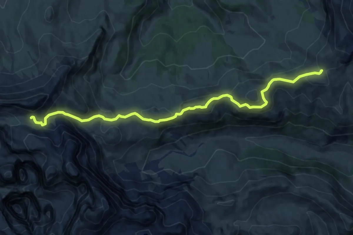
Medium · Cabin
Rifugio Sassopiatto (bivio 533 - 557) – Rifugio Alpe di Tires
12.7 km · ↑ 651 m · 4 h 25 min
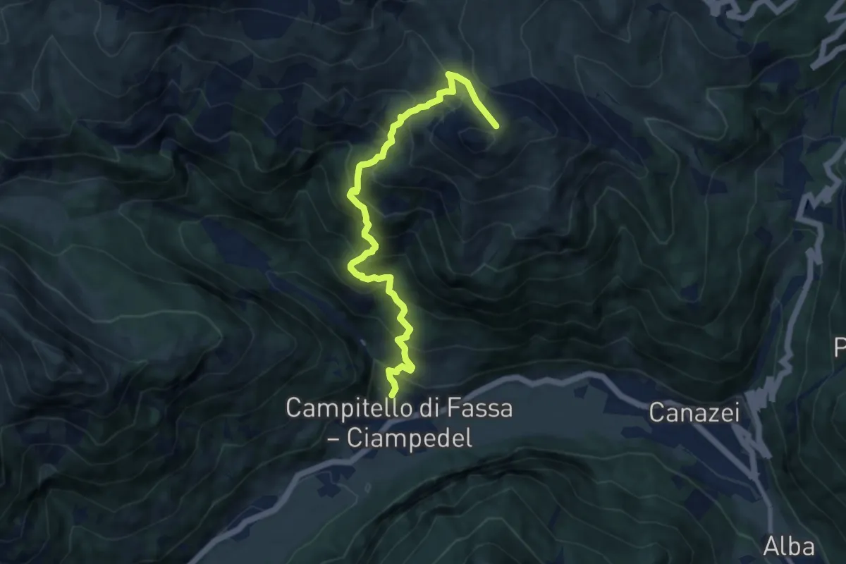
Demanding · Cabin
Campitello di Fassa / Ciampedel – Rifugio des Alpes (bivio 530)
9.0 km · ↑ 971 m · 4 h 14 min