Trails in Italy
25,219 hiking trails, each with its route, climb, walking time and grade.
All trails, page 526 of 526
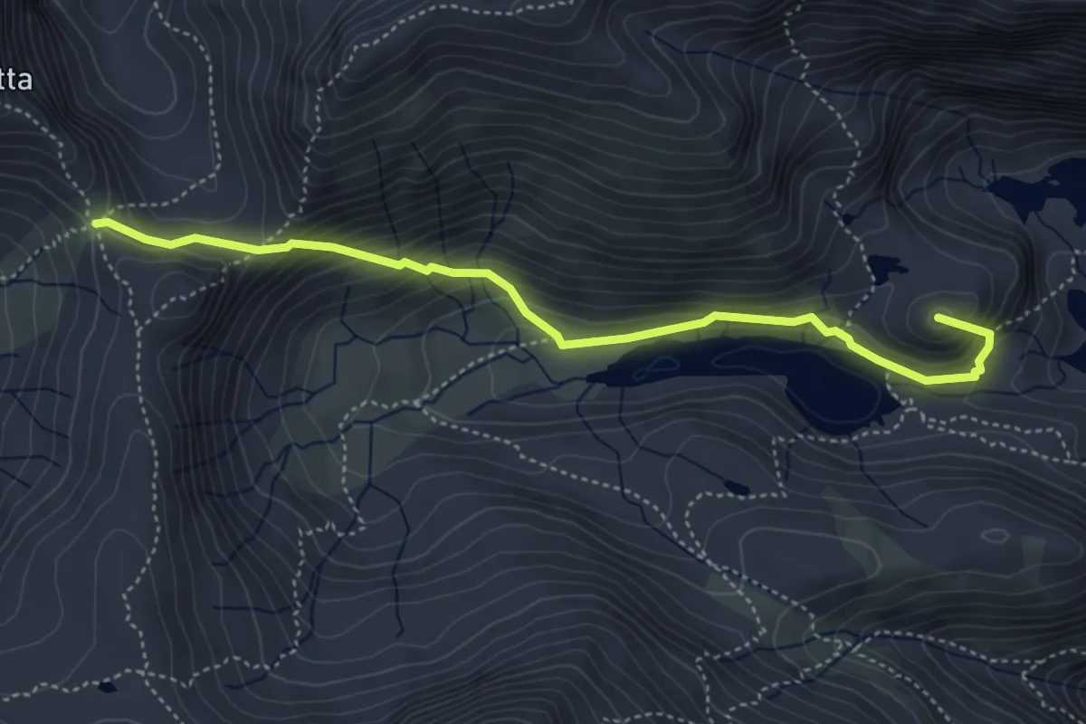
Demanding · Summit
Rifugio Baita Cernello – Passo d'Aviasco
4.8 km · ↑ 378 m · 1 h 57 min
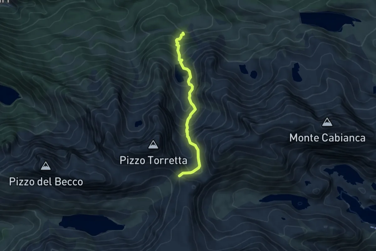
Demanding · Trail
Valle dei Frati – Passo d'Aviasco
5.2 km · ↑ 588 m · 2 h 29 min
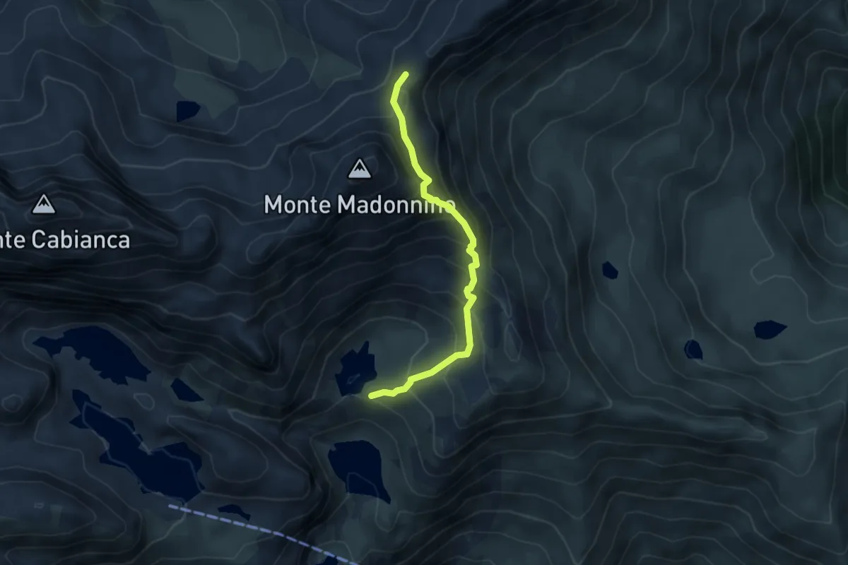
Demanding · Cabin
Baita Cernello – Passo Portula
4.3 km · ↑ 463 m · 2 h 2 min
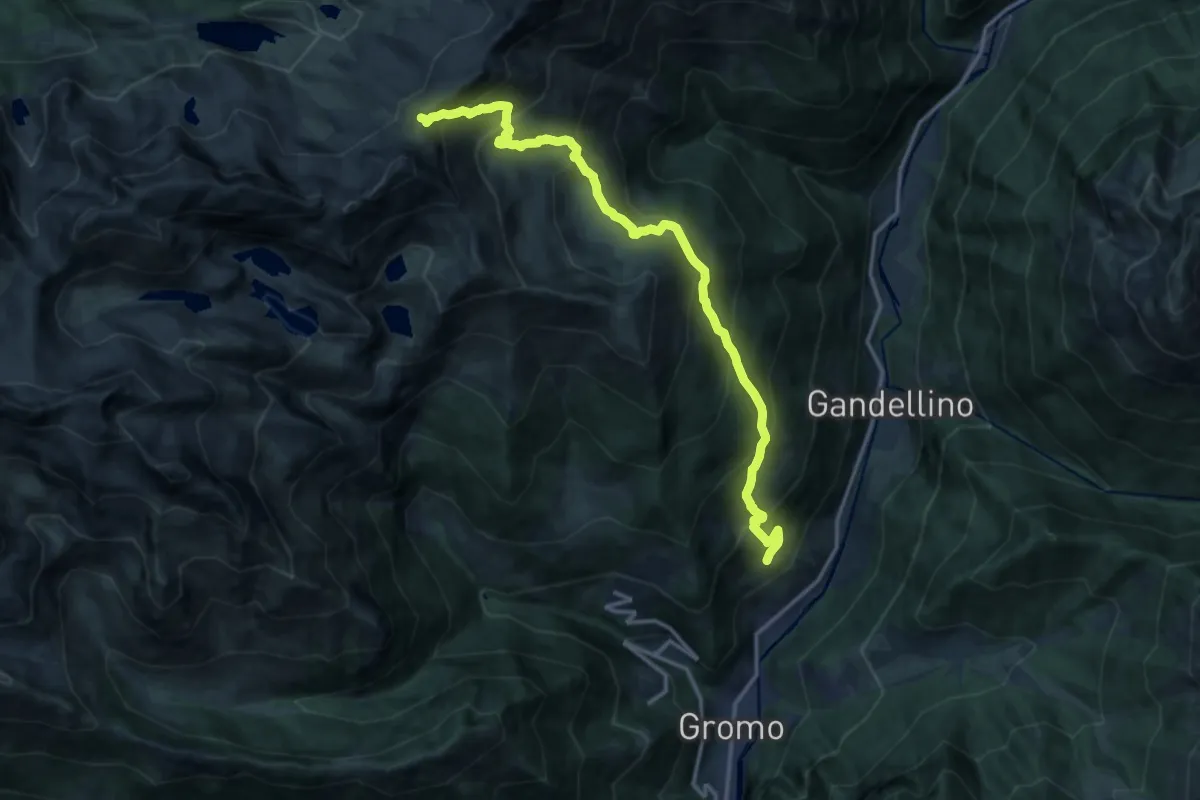
Demanding · Trail
Gromo – Passo Portula
15.5 km · ↑ 1419 m · 6 h 43 min
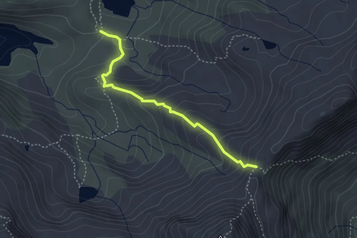
Medium · Cabin
Rifugio Calvi – Passo Portula
3.4 km · ↑ 270 m · 1 h 23 min
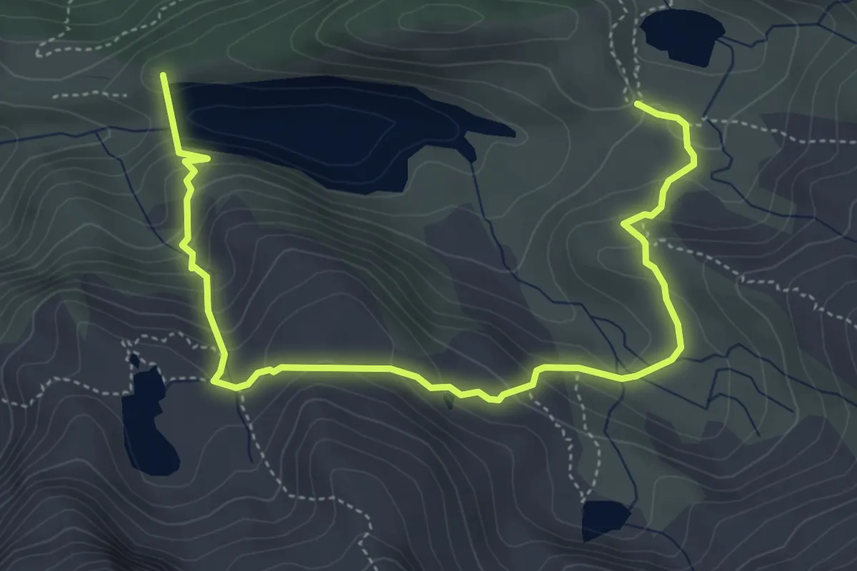
Demanding · Cabin
Rifugio Calvi – Lago Fregabolgia
6.1 km · ↑ 447 m · 2 h 24 min
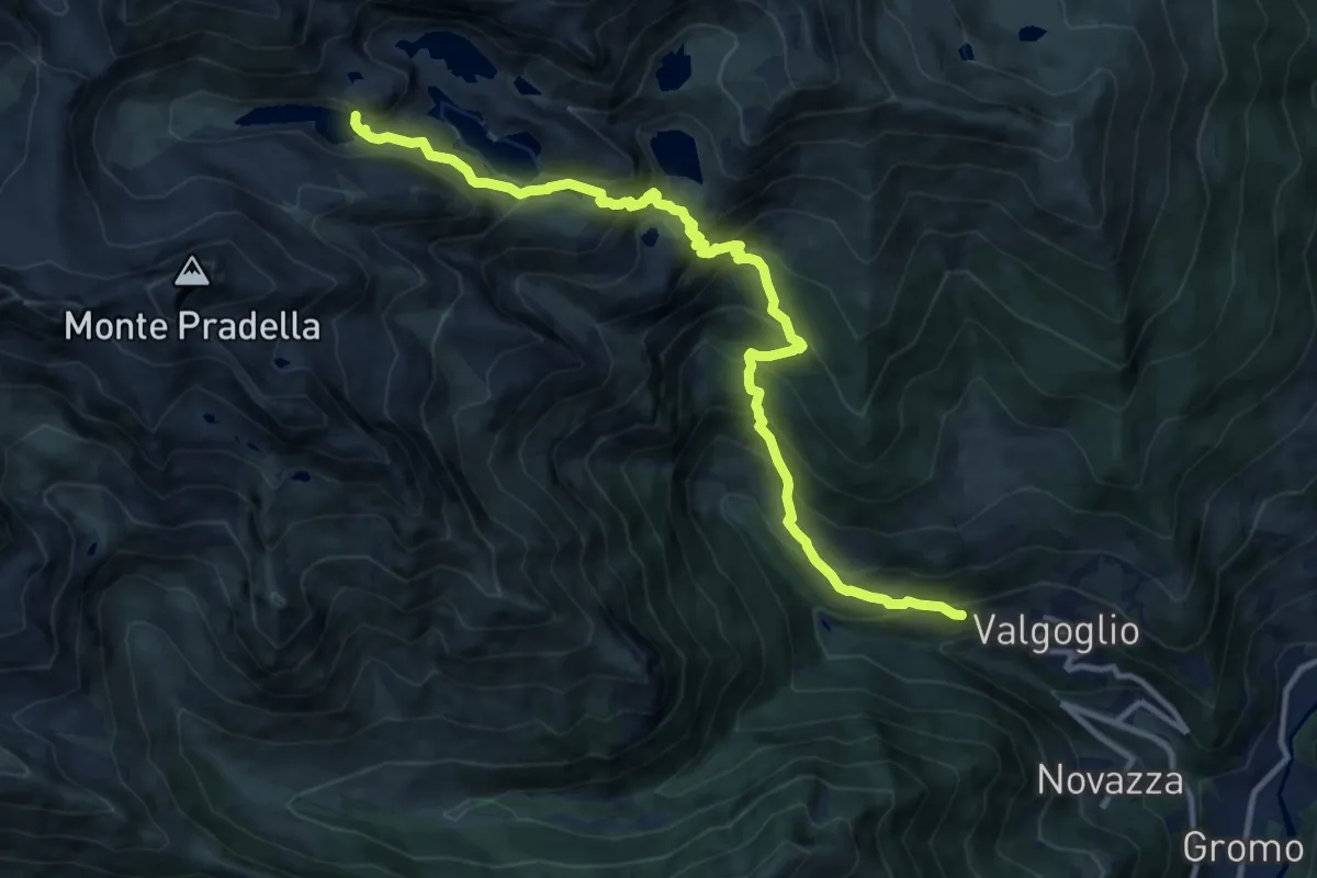
Demanding · Trail
Valgoglio – Lago d'Aviasco
12.7 km · ↑ 1194 m · 5 h 35 min
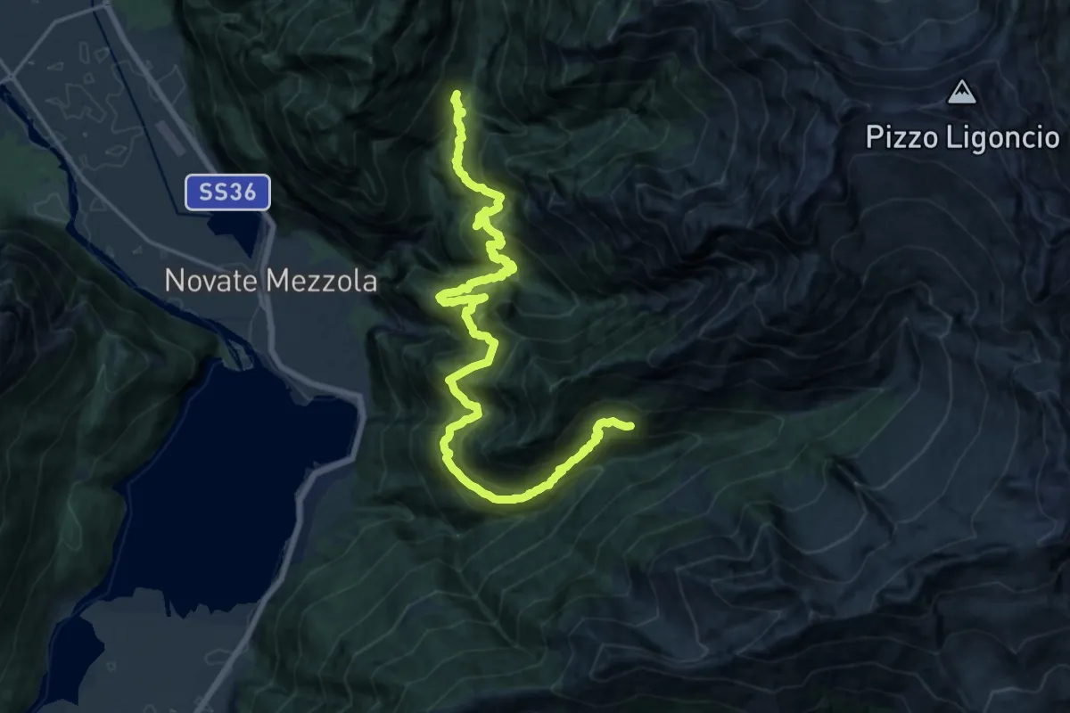
Demanding · Cabin
Codera – Frasnedo
10.7 km · ↑ 1490 m · 5 h 40 min
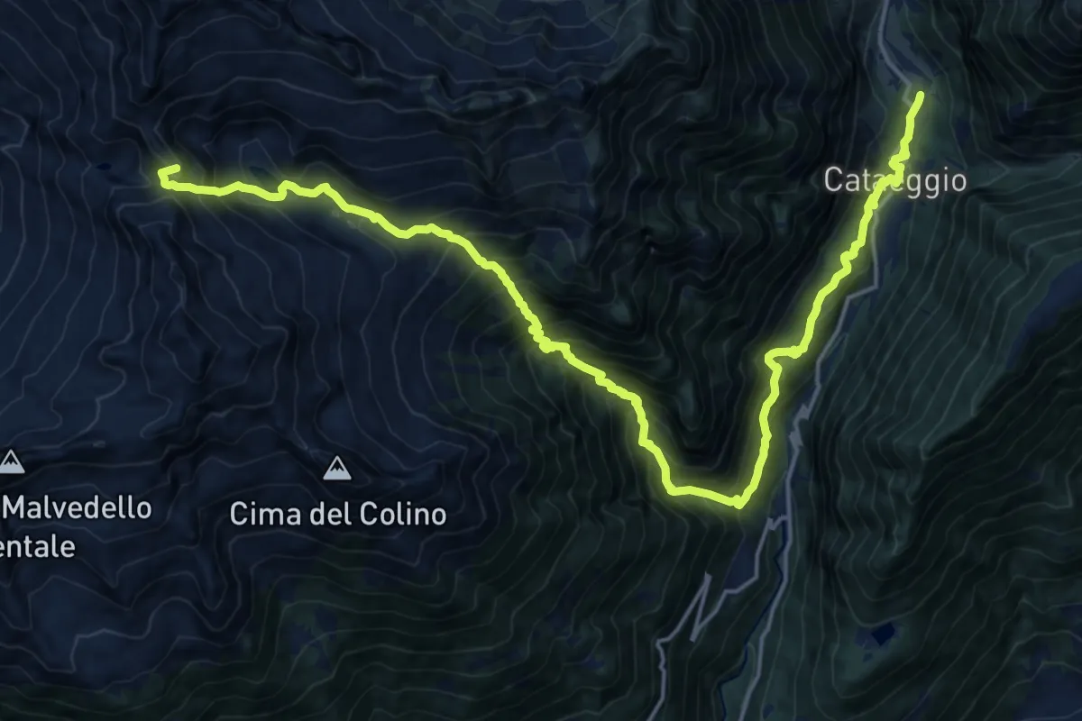
Demanding · Summit
Frasnedo – Filorera
22.9 km · ↑ 2290 m · 10 h 22 min
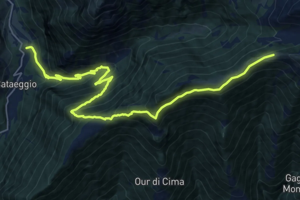
Demanding · Cabin
Filorera – Bivacco Scermenone
18.4 km · ↑ 1389 m · 7 h 21 min
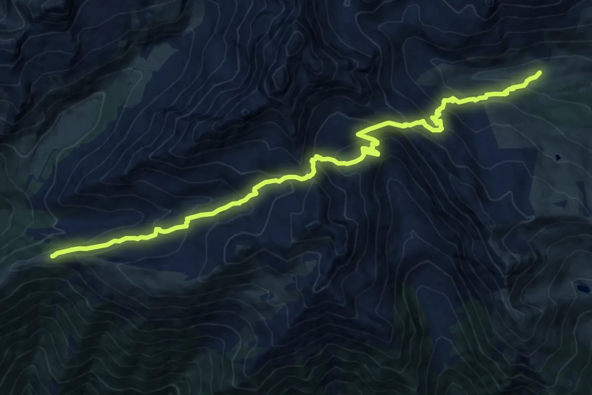
Demanding · Cabin
Bivacco Scermenone – Rifugio Bosio Galli all'Alpe Airale
17.0 km · ↑ 1359 m · 6 h 58 min
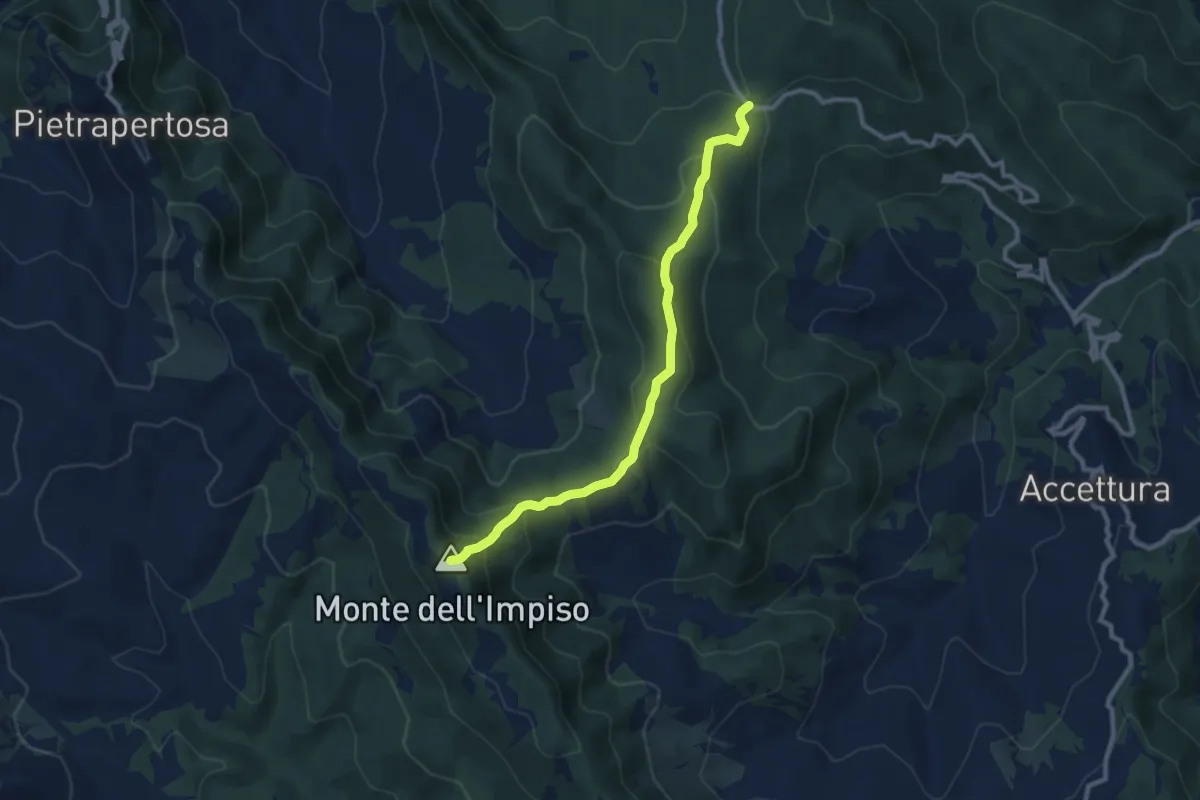
Medium · Summit
Fontana dell' Arioso – Intersezione percorso 707
10.4 km · ↑ 543 m · 3 h 38 min
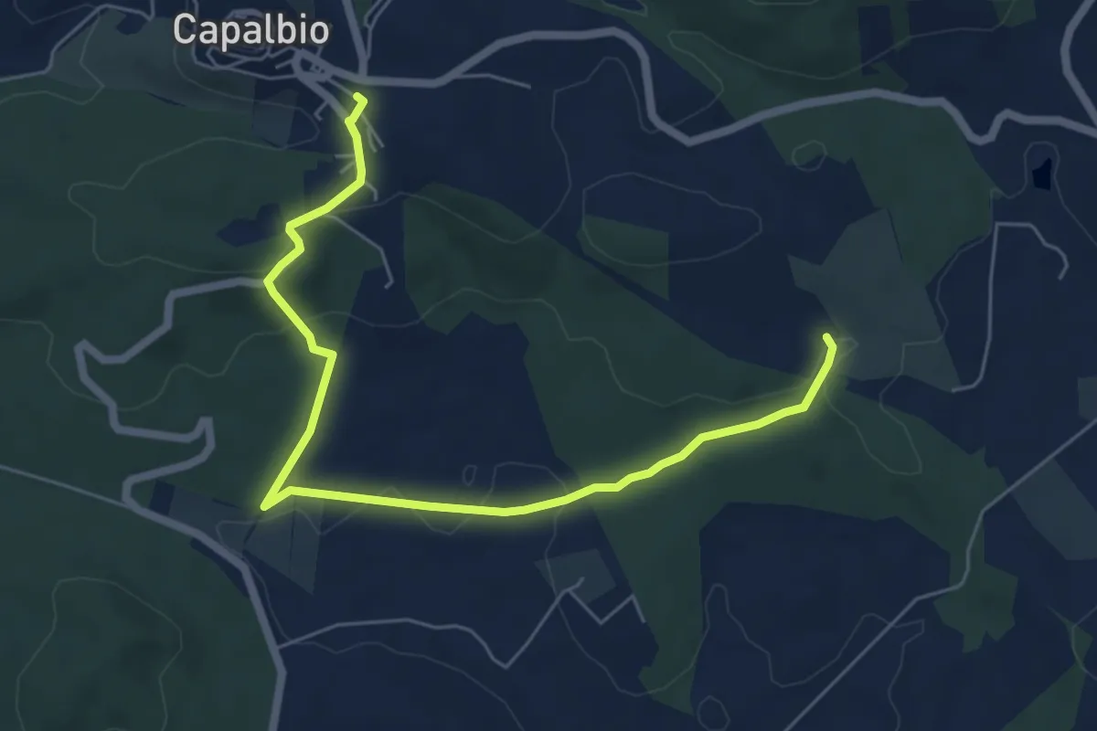
Easy · Trail
801 – Capalbio
7.3 km · ↑ 174 m · 2 h 6 min
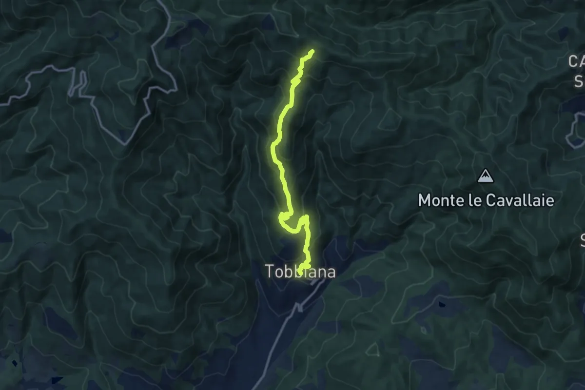
Medium · Trail
Tobbiana – Fonte dell' Alteta
10.8 km · ↑ 633 m · 3 h 56 min
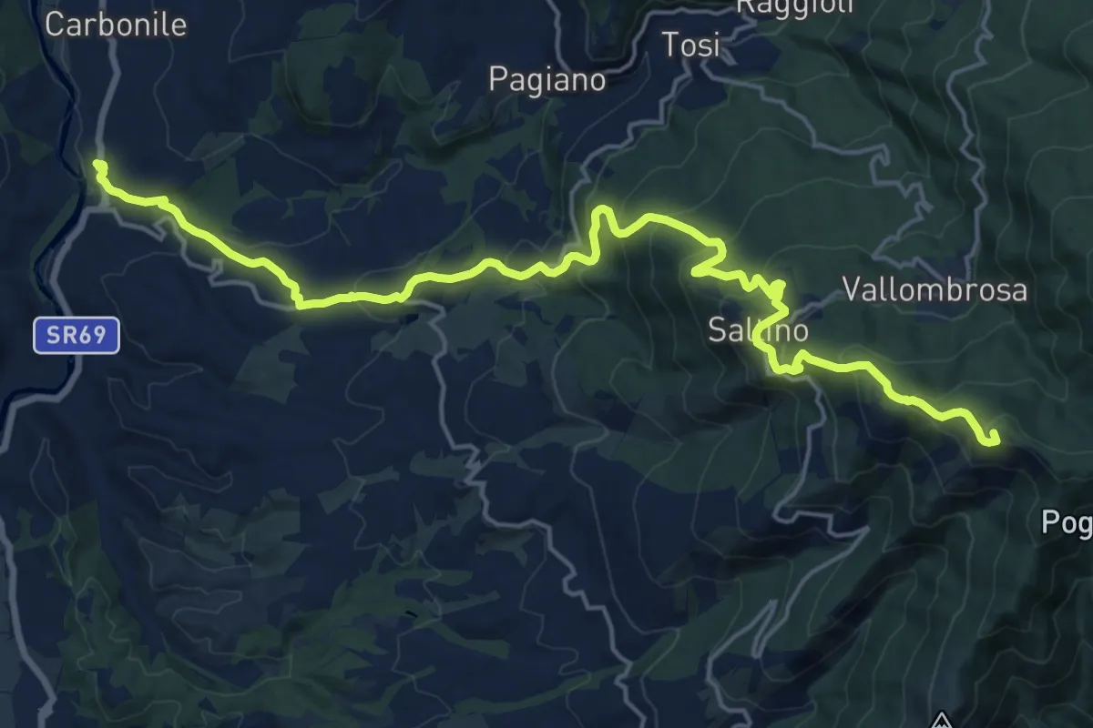
Demanding · Summit
Sant'Ellero – Secchieta
22.7 km · ↑ 1210 m · 7 h 59 min
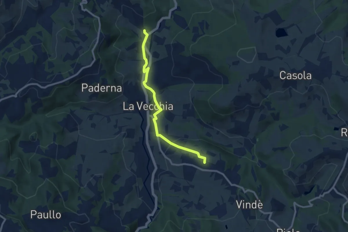
Easy · Trail
Casoletta – Scarzola
7.0 km · ↑ 163 m · 2 h
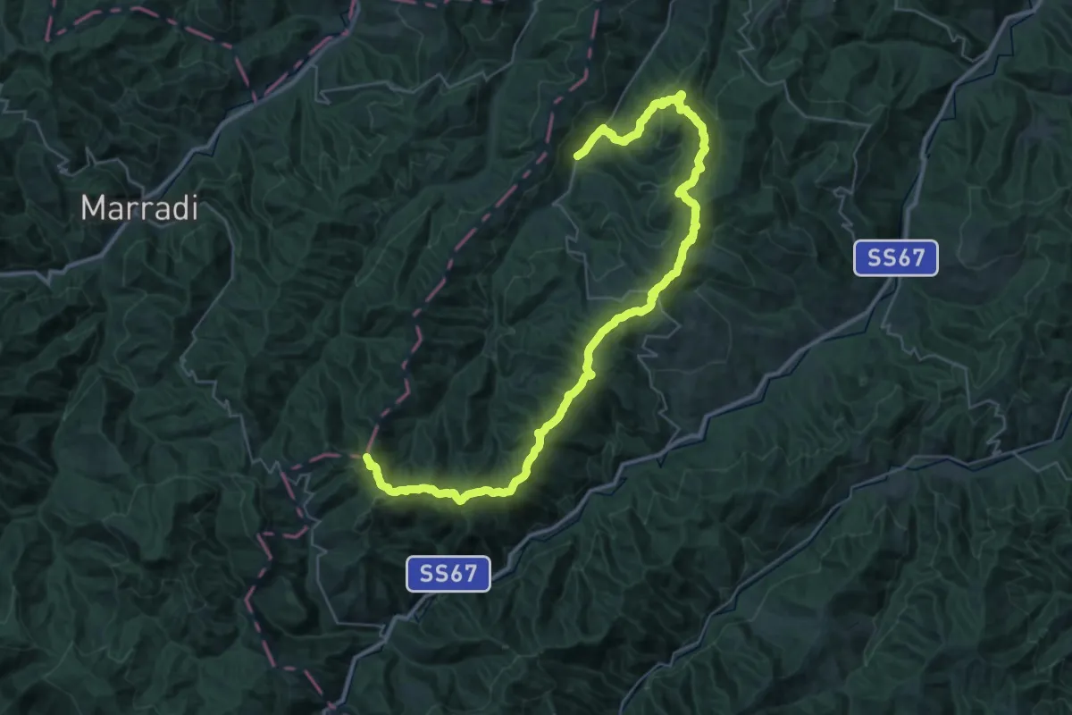
Demanding · Summit
Tredozio – S. P. 20
43.1 km · ↑ 1733 m · 13 h 56 min
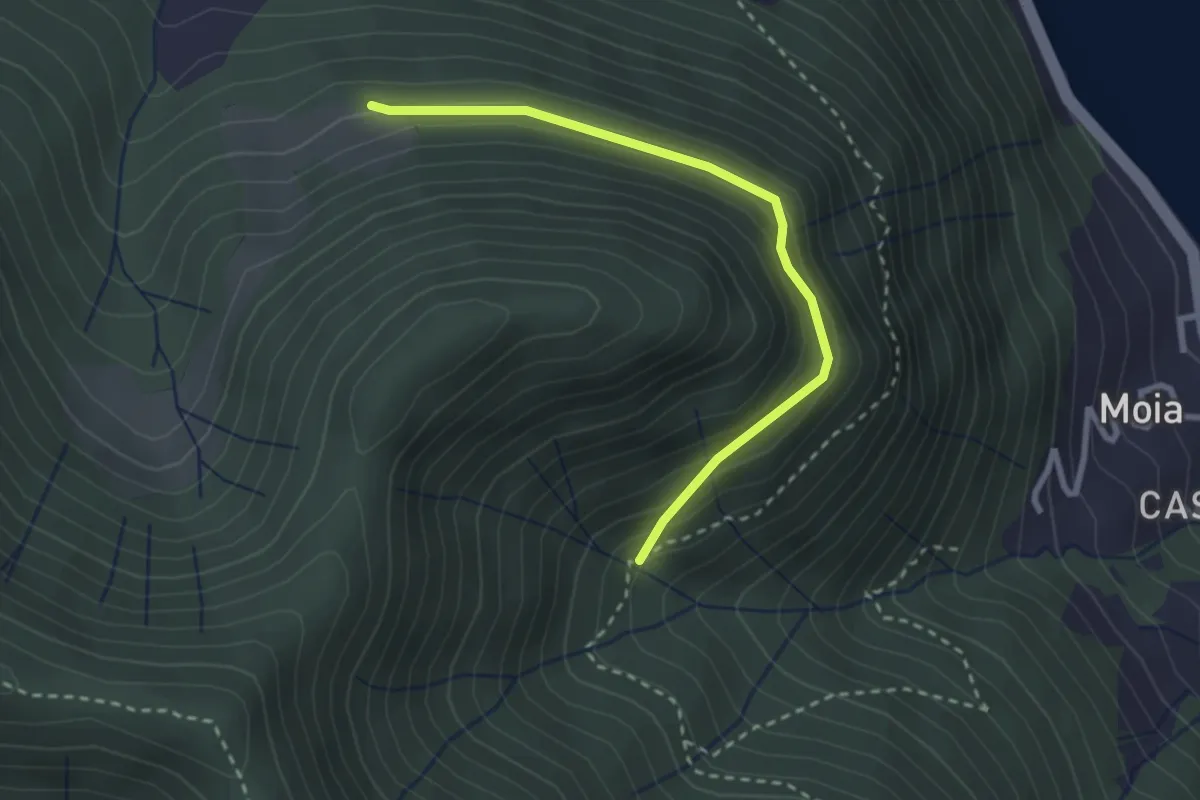
Easy · Trail
Cascina Antema – Valle delle Pertiche
2.8 km · ↑ 194 m · 1 h 5 min
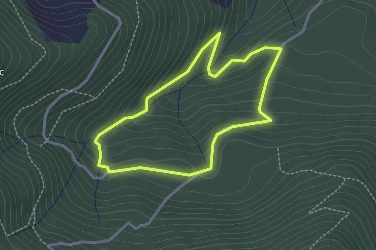
Easy · Trail
Negrigniana – Sorgente Burù
2.0 km · ↑ 109 m · 44 min