Trails in Italy
25,211 hiking trails, each with its route, climb, walking time and grade.
All trails, page 54 of 526
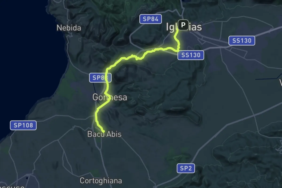
Demanding · Trail
CMSB 30
29.8 km · ↑ 417 m · 7 h 56 min
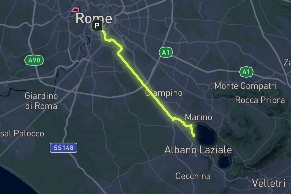
Demanding · Trail
CNP - 01 - Roma - Castel Gandolfo
23.7 km · ↑ 455 m · 6 h 43 min
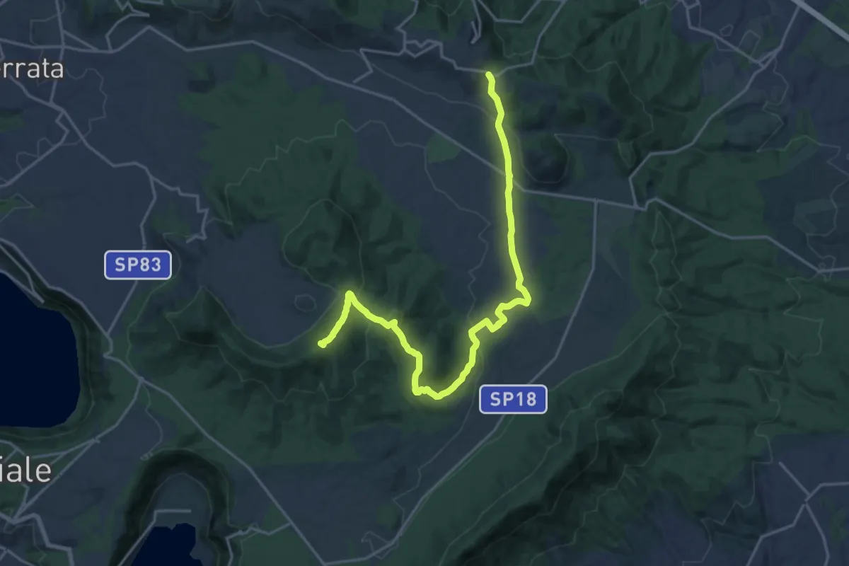
Demanding · Summit
CNP - 02 - Castel Gandolfo - Rocca Priora
21.3 km · ↑ 574 m · 6 h 16 min
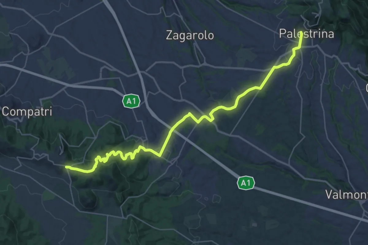
Medium · Trail
CNP - 03 - Rocca Priora - Palestrina
16.1 km · ↑ 282 m · 4 h 44 min
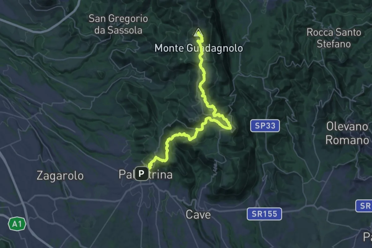
Demanding · Summit
CNP - 04 - Palestrina - Guadagnolo
36.4 km · ↑ 1613 m · 12 h 5 min
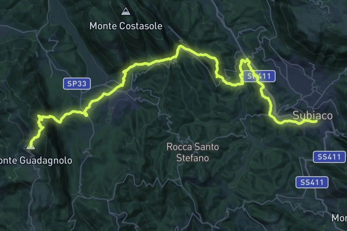
Demanding · Summit
CNP - 05 - Guadagnolo - Subiaco
48.9 km · ↑ 2168 m · 16 h 14 min
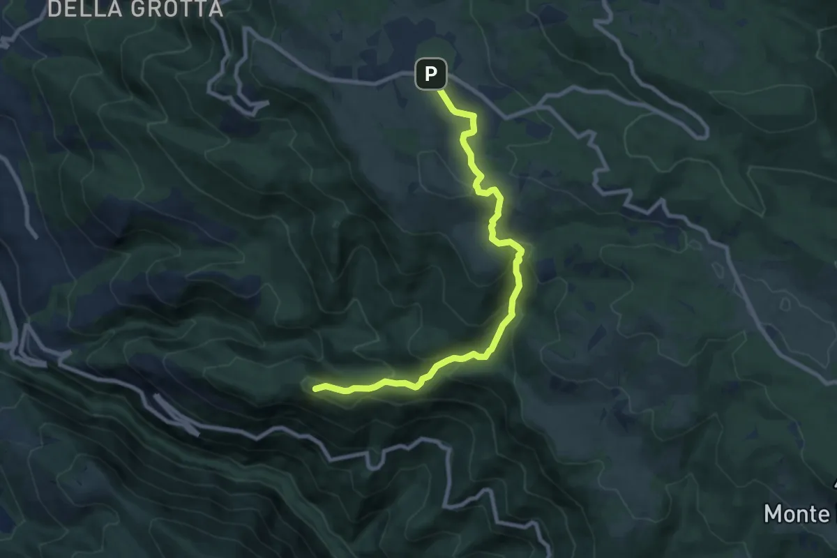
Medium · Summit
CNP - 06 - Subiaco - Livata
9.1 km · ↑ 478 m · 3 h 12 min
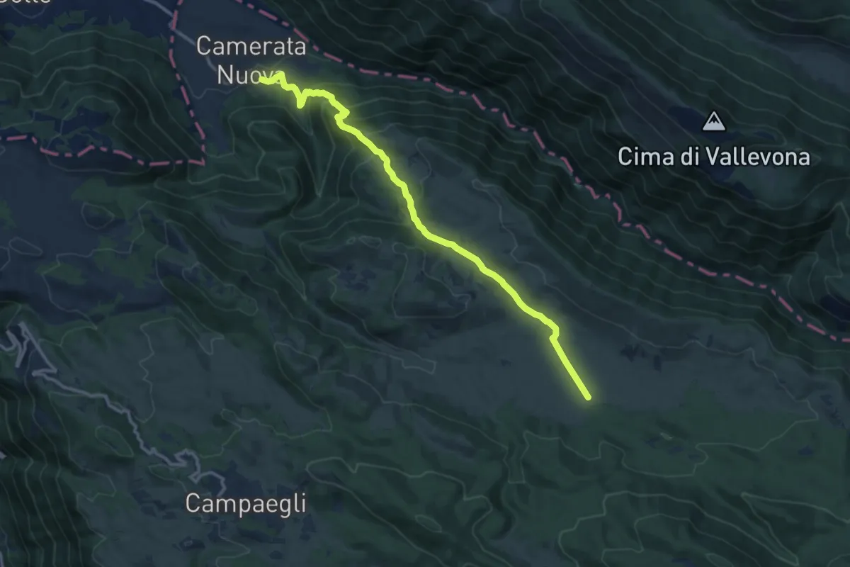
Medium · Trail
CNP - 07 - Livata - Camerata Nuova
13.0 km · ↑ 603 m · 4 h 22 min
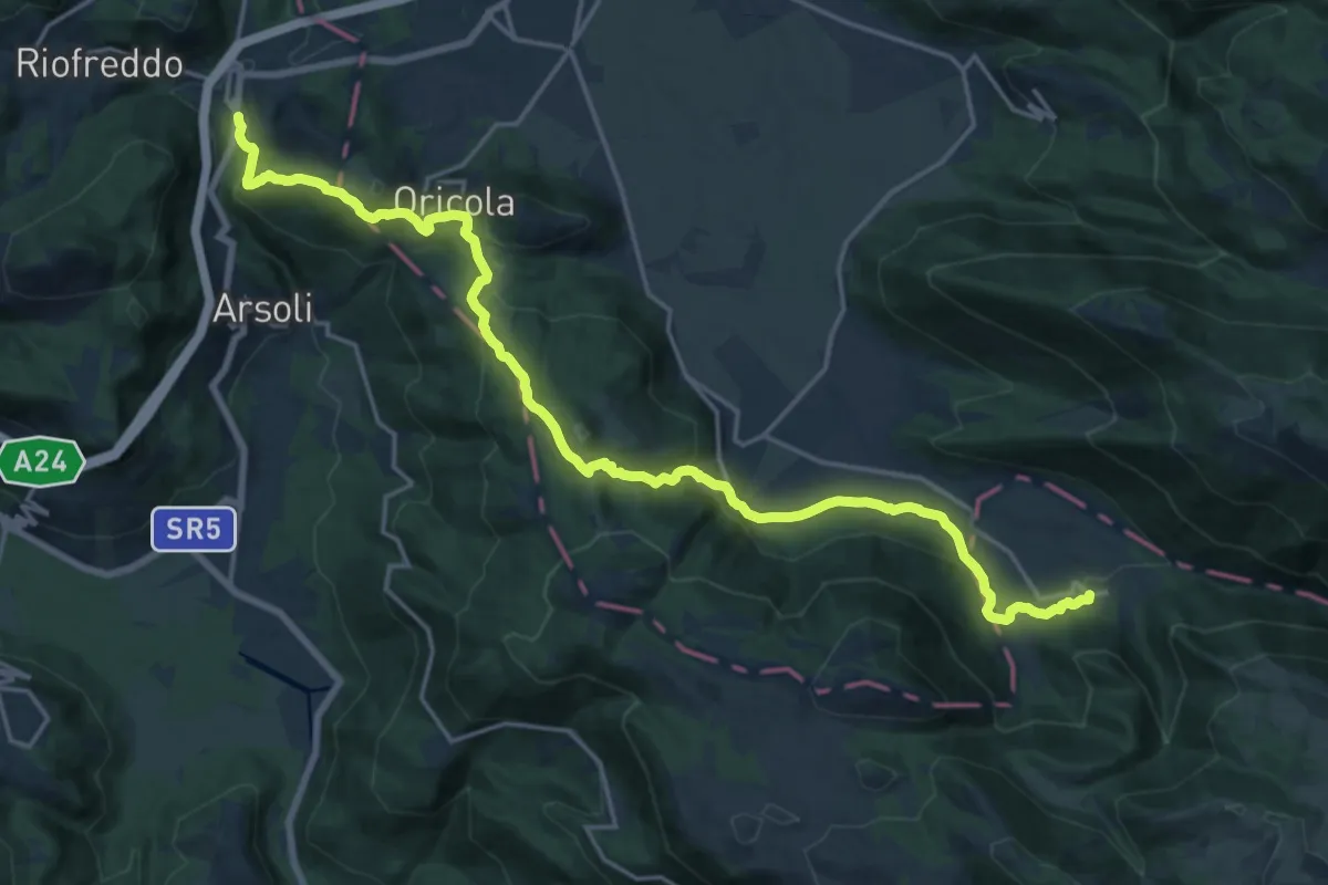
Demanding · Trail
CNP - 08 - Camerata Nuova - Cineto Romano
23.7 km · ↑ 881 m · 7 h 31 min
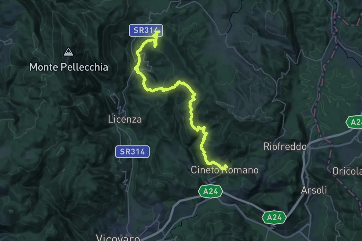
Demanding · Summit
CNP - 09 - Cineto Romano - Orvinio
30.1 km · ↑ 1401 m · 10 h 9 min
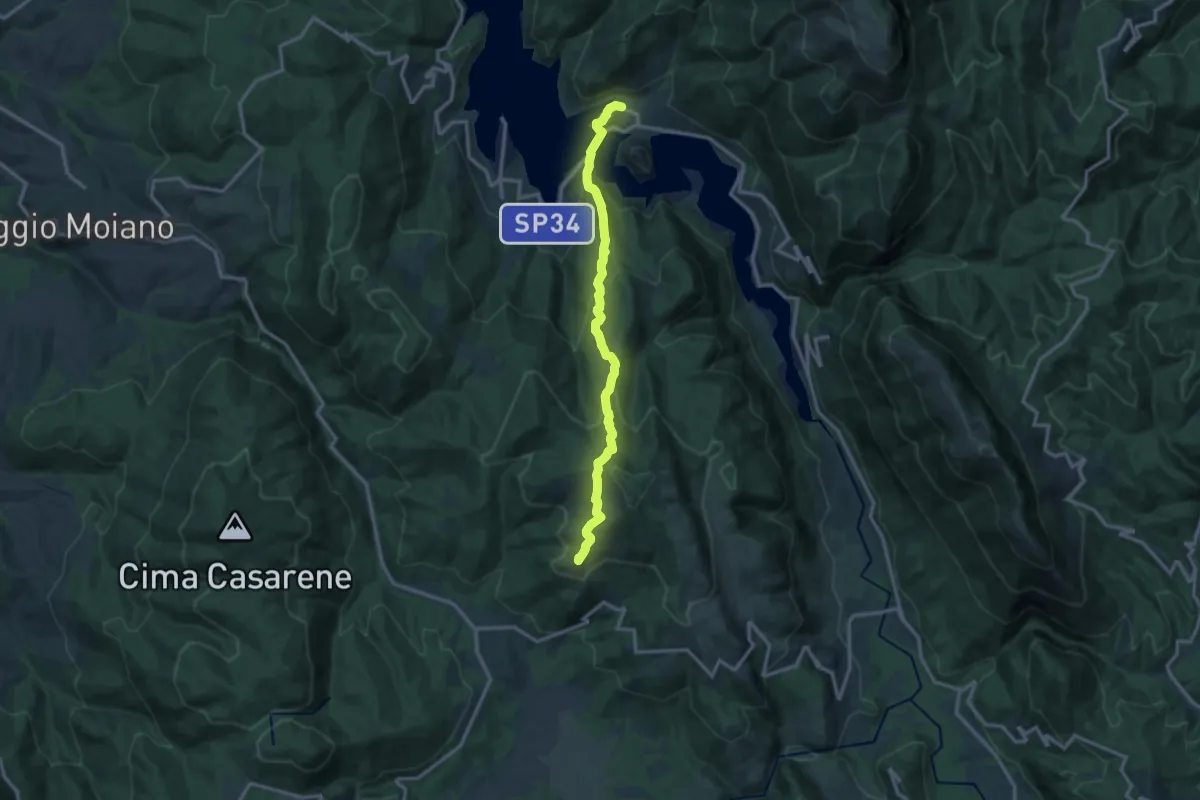
Demanding · Summit
CNP - 10 - Orvinio - Castel di Tora
13.6 km · ↑ 822 m · 5 h
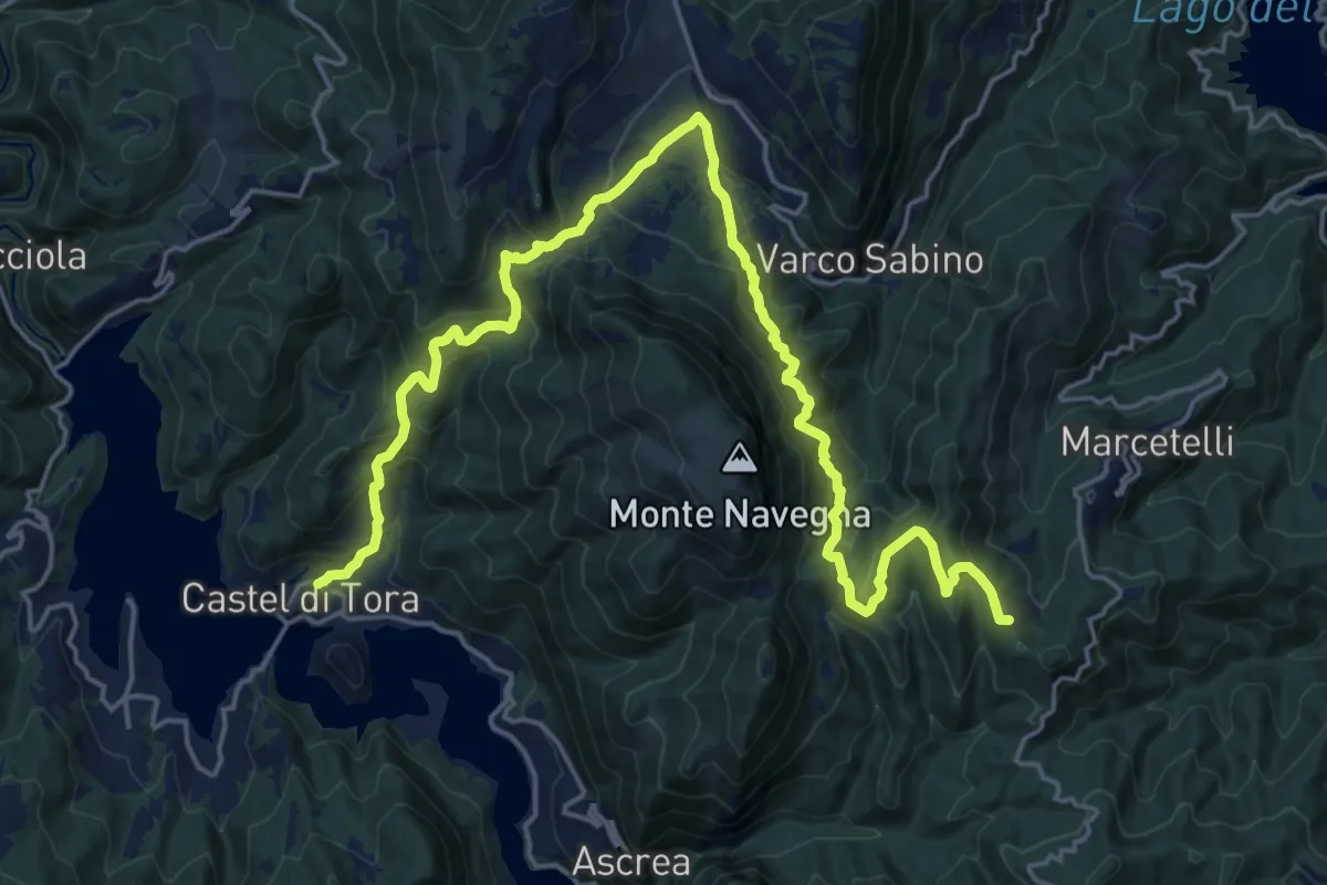
Demanding · Summit
CNP - 11 - Castel di Tora - Marcetelli
26.8 km · ↑ 1451 m · 9 h 28 min
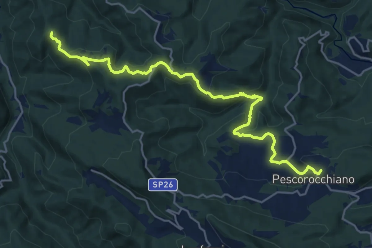
Medium · Summit
CNP - 12 - Marcetelli - Pescorocchiano
15.0 km · ↑ 564 m · 4 h 45 min
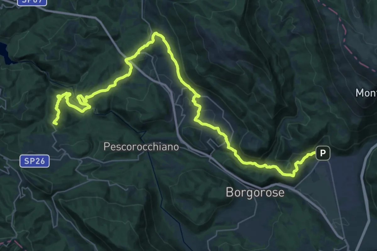
Demanding · Summit
CNP - 13 - Pescorocchiano - Corvaro
40.3 km · ↑ 1365 m · 12 h 29 min
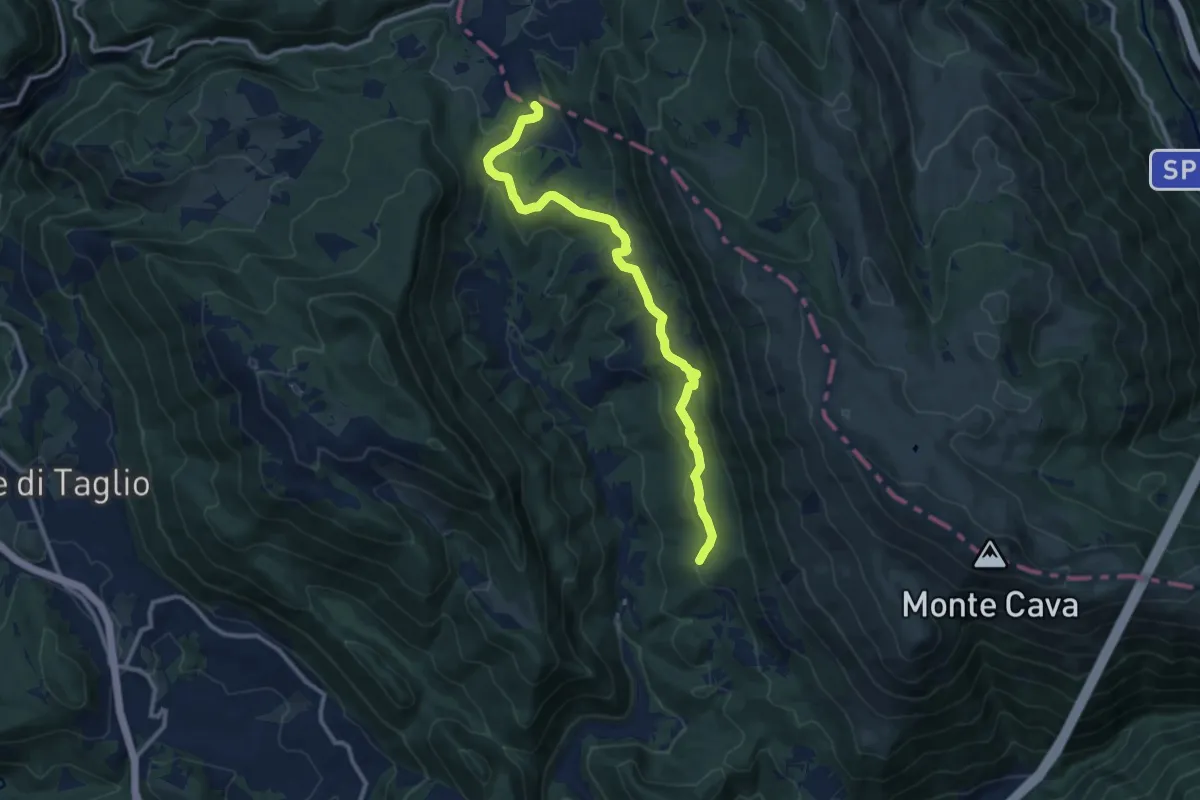
Medium · Summit
CNP - 14 - Corvaro – Castiglione
12.1 km · ↑ 268 m · 3 h 27 min
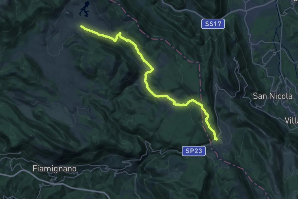
Medium · Trail
CNP - 15 - Castiglione – Altopiano di Rascino
13.5 km · ↑ 530 m · 4 h 31 min
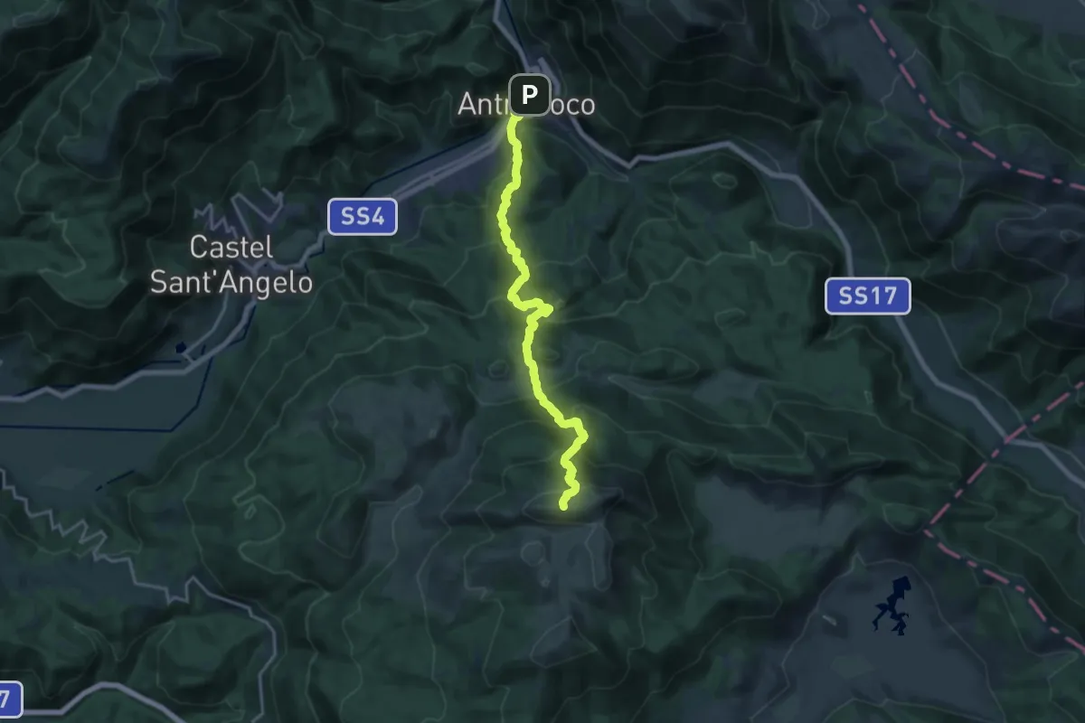
Demanding · Summit
CNP - 16 - Altopiano di Rascino - Antrodoco
18.0 km · ↑ 1487 m · 7 h 28 min
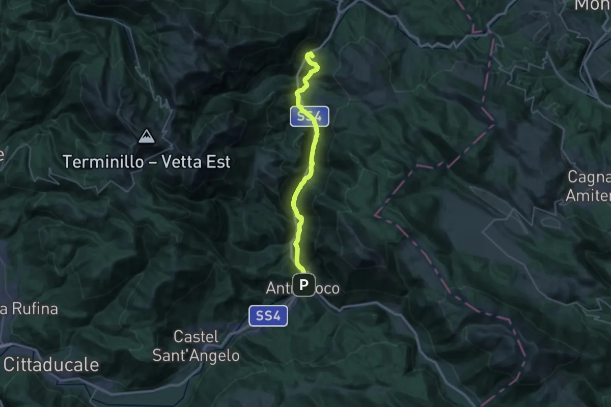
Demanding · Summit
CNP - 17 - Antrodoco - Posta
24.1 km · ↑ 504 m · 6 h 47 min
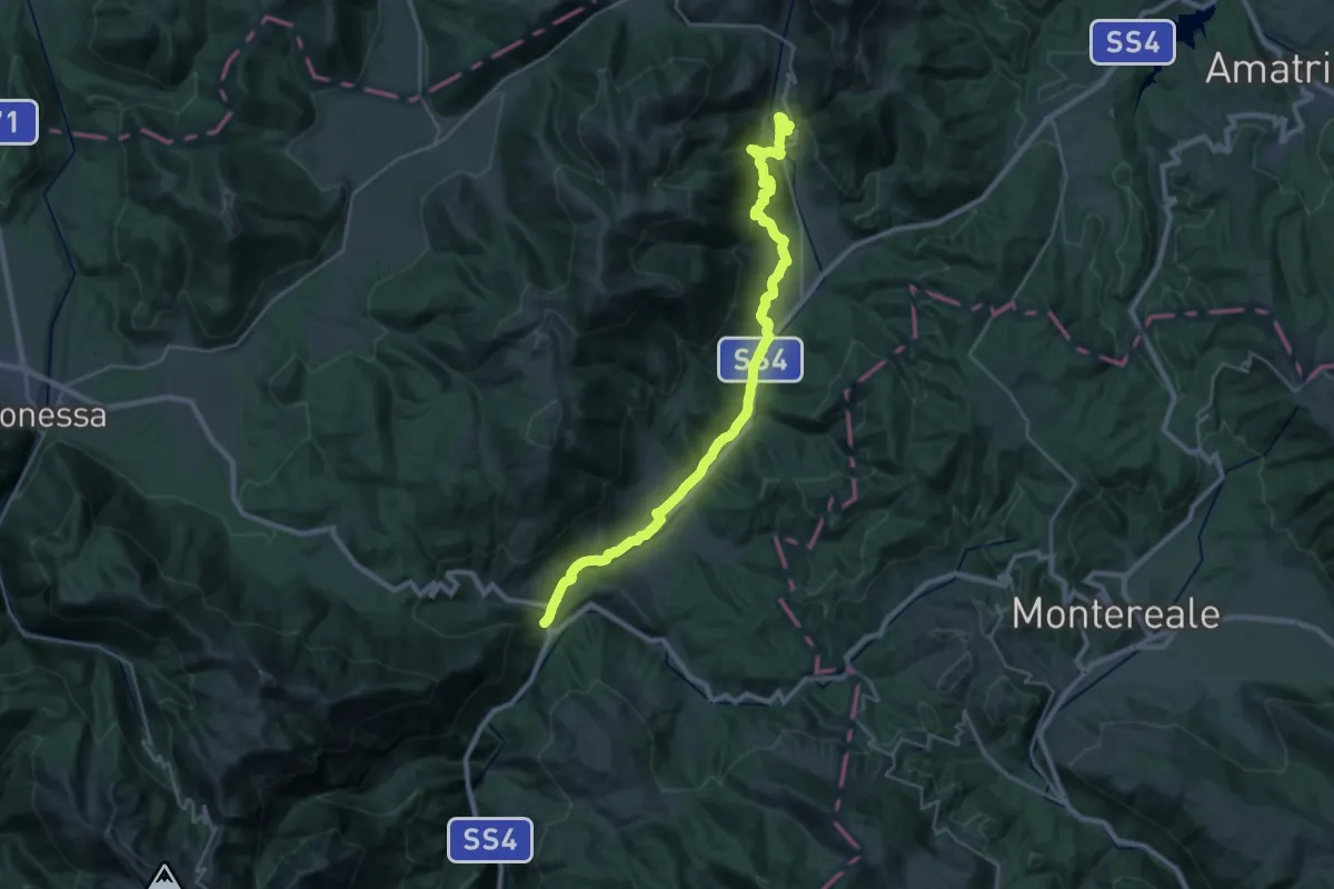
Medium · Trail
CNP - 18 - Posta - Cittareale
15.8 km · ↑ 292 m · 4 h 44 min
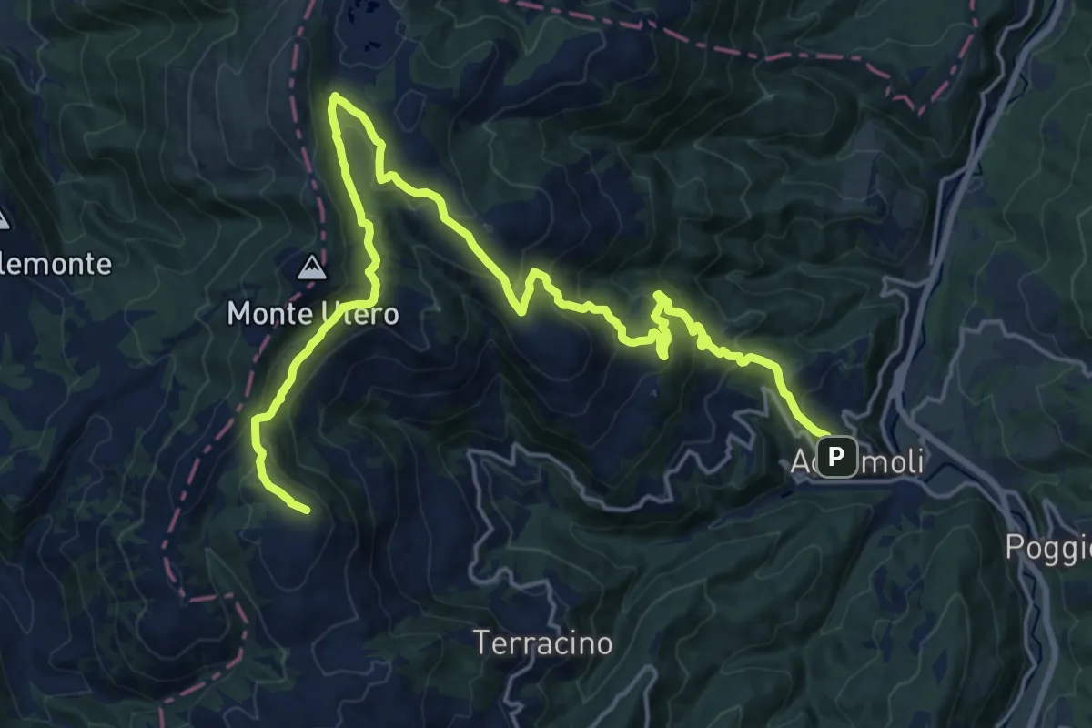
Demanding · Summit
CNP - 19 - Cittareale - Accumoli
25.3 km · ↑ 1210 m · 8 h 36 min
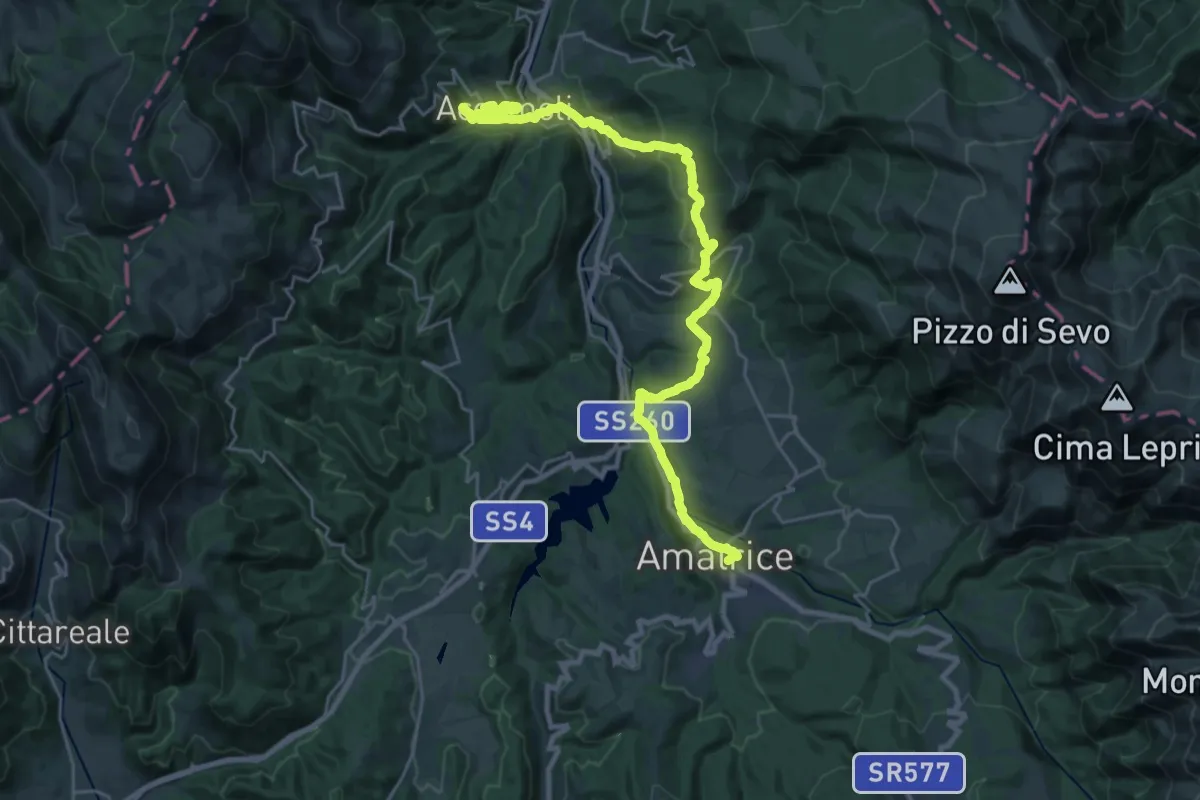
Medium · Trail
CNP - 20 - Accumoli - Amatrice
15.7 km · ↑ 656 m · 5 h 23 min
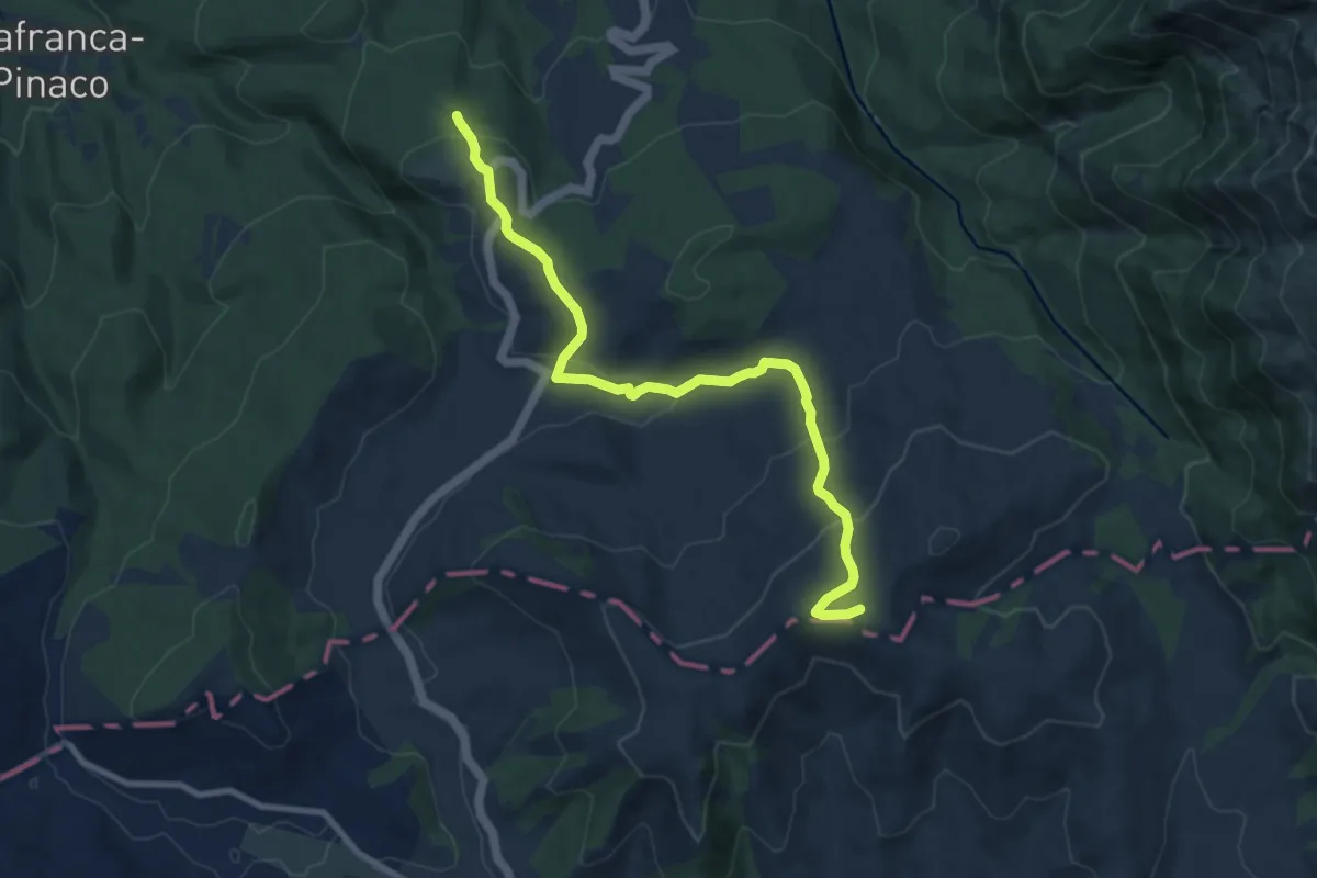
Medium · Summit
CNP - 21 - Amatrice - Campotosto
10.2 km · ↑ 460 m · 3 h 24 min
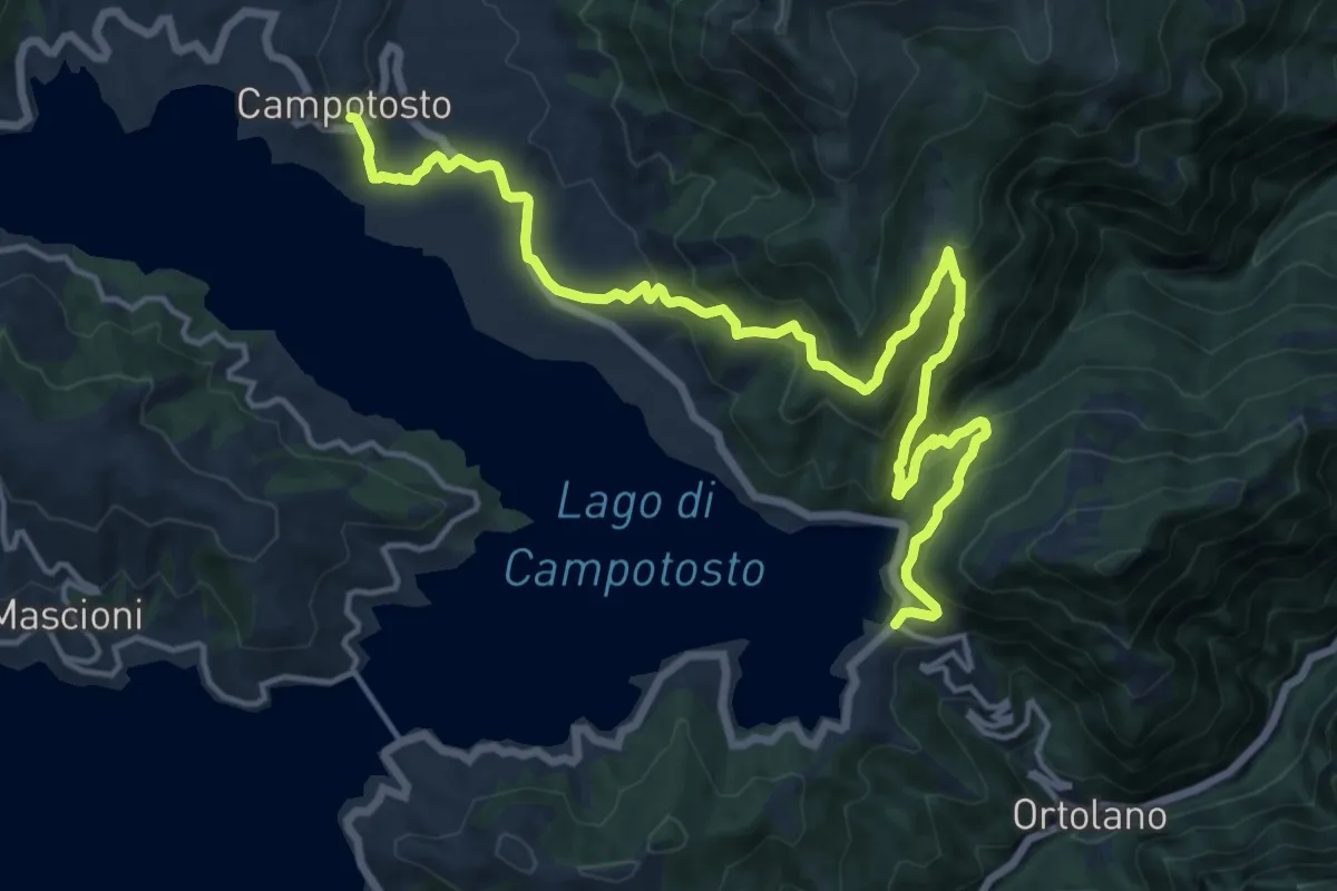
Demanding · Trail
CNP - 22 - Campotosto - Lago di Campotosto
20.1 km · ↑ 960 m · 6 h 50 min
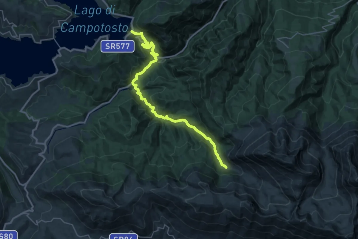
Demanding · Cabin
CNP - 23 - Lago di Campotosto - Rifugio Fioretti
23.1 km · ↑ 1017 m · 7 h 40 min
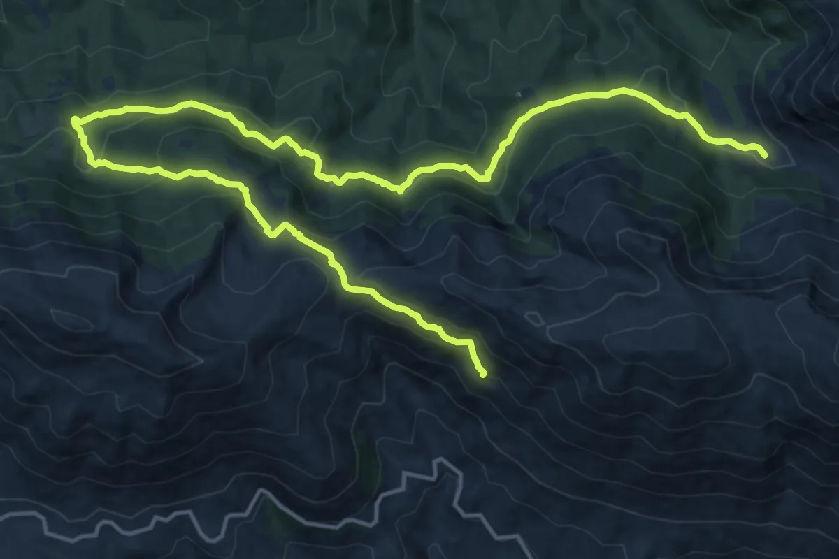
Demanding · Summit
CNP - 24 - Rifugio Fioretti - San Pietro della Ienca
22.7 km · ↑ 1094 m · 7 h 44 min
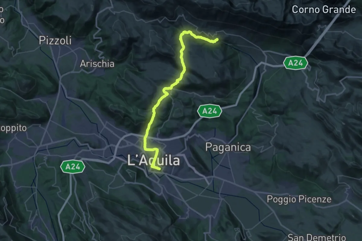
Demanding · Trail
CNP - 25 - San Pietro della Ienca - L'Aquila
18.3 km · ↑ 541 m · 5 h 59 min
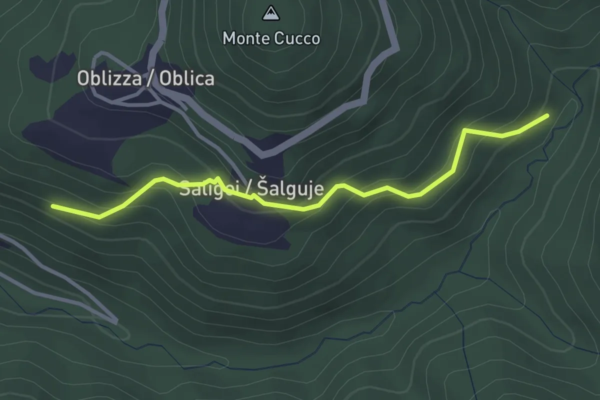
Easy · Trail
Cobilza - Oblizza - Dughe - bretella
2.9 km · ↑ 236 m · 1 h 12 min
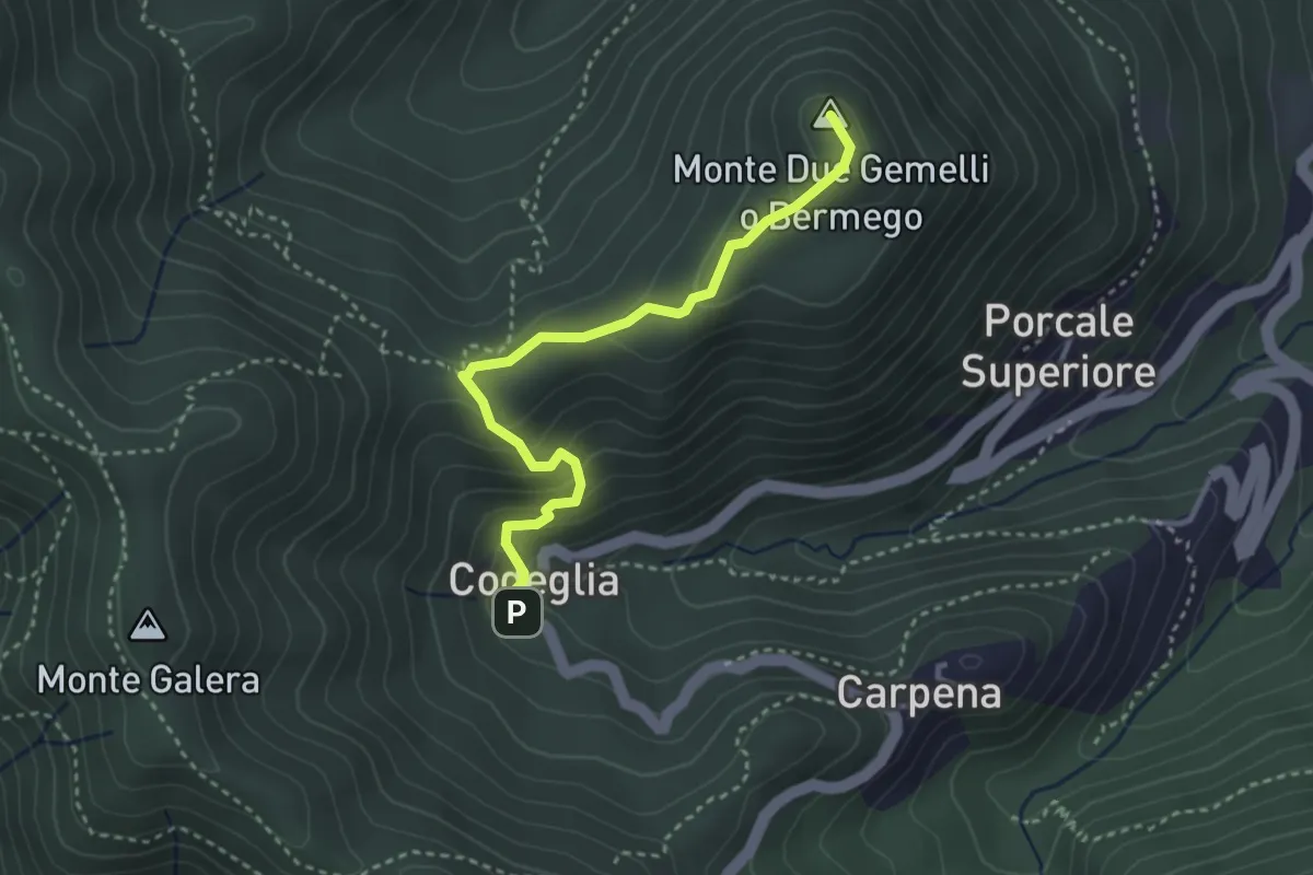
Medium · Summit
Codeglia – Sella Casao – M.Bermego
3.4 km · ↑ 216 m · 1 h 16 min
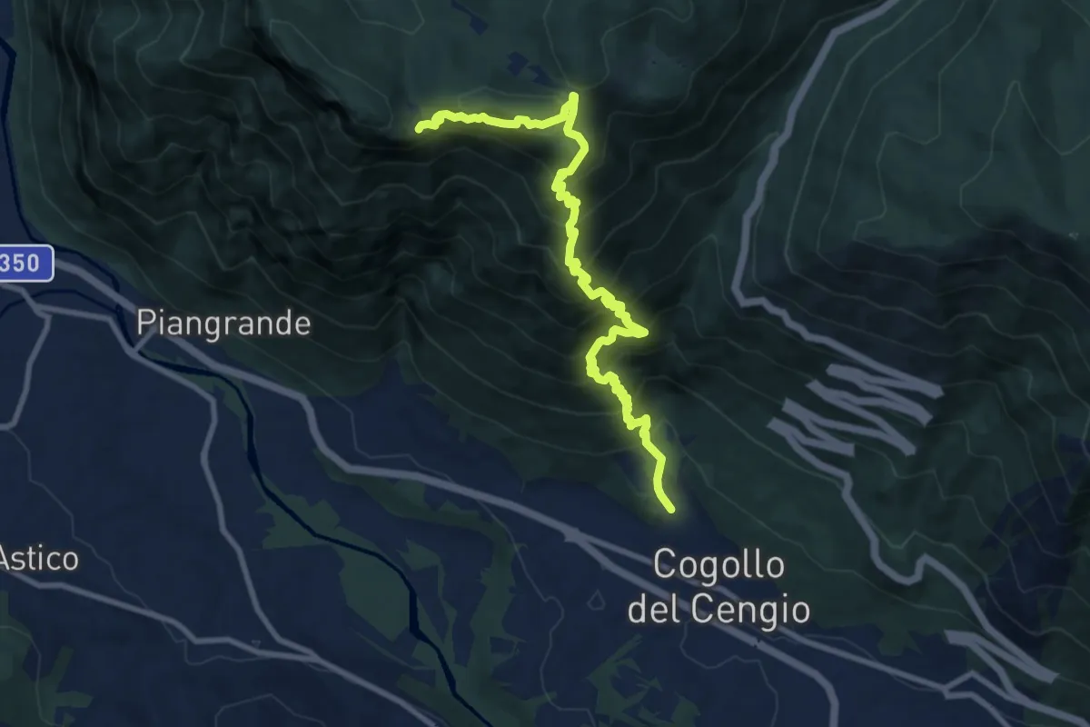
Demanding · Cabin
Cogollo - Monte Cengio per Val Sengela
10.8 km · ↑ 1130 m · 4 h 59 min
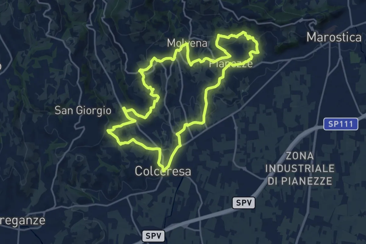
Medium · Trail
Colceresa
14.7 km · ↑ 468 m · 4 h 42 min
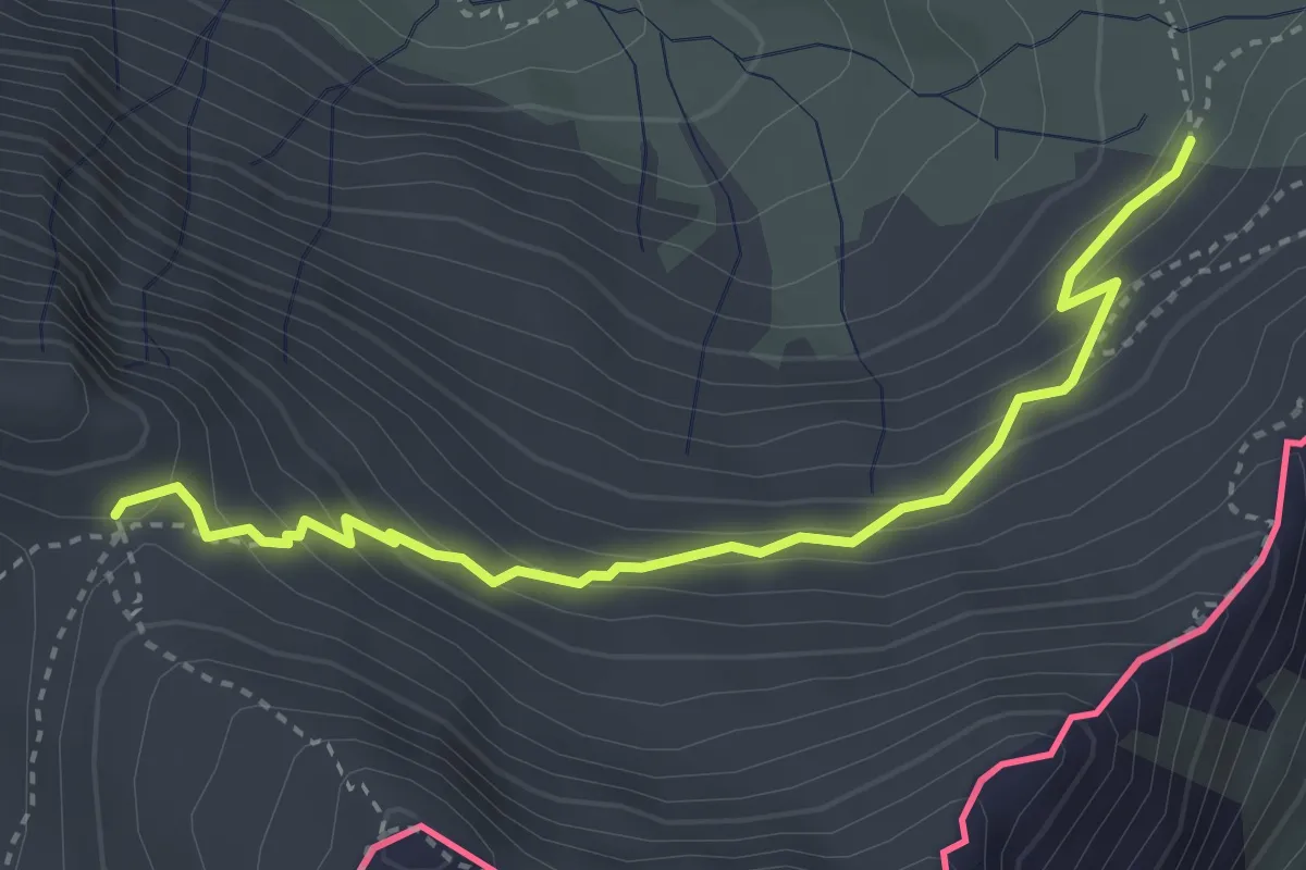
Medium · Trail
Col de Chamoussière - Riou du Rocher
3.7 km · ↑ 288 m · 1 h 30 min
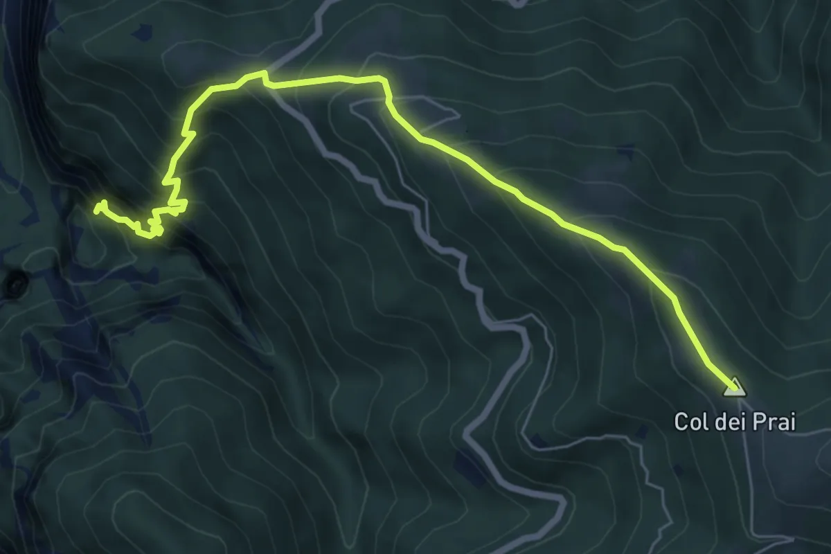
Demanding · Summit
Col dei Prai
7.1 km · ↑ 884 m · 3 h 35 min
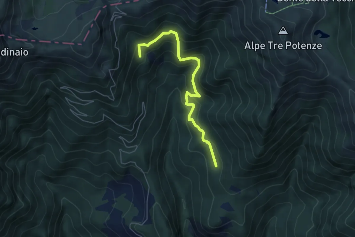
Medium · Cabin
Col della Prada - Rifugio Casentini
5.2 km · ↑ 430 m · 2 h 10 min
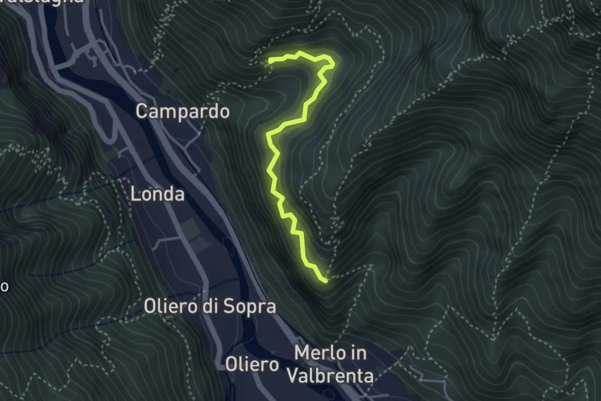
Medium · Trail
Col della Torta
3.1 km · ↑ 337 m · 1 h 27 min
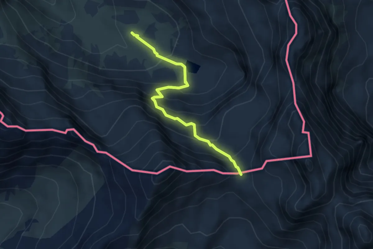
Demanding · Trail
Col de Valante - Montagne du Viso
4.2 km · ↑ 447 m · 1 h 57 min
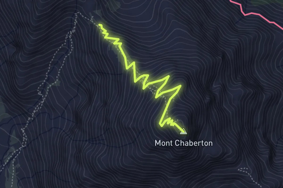
Medium · Summit
Col du Chaberton - Mont Chaberton
5.2 km · ↑ 466 m · 2 h 14 min
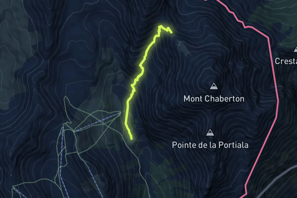
Medium · Trail
Col du Chaberton - Plateau des Baïsses
5.3 km · ↑ 551 m · 2 h 27 min
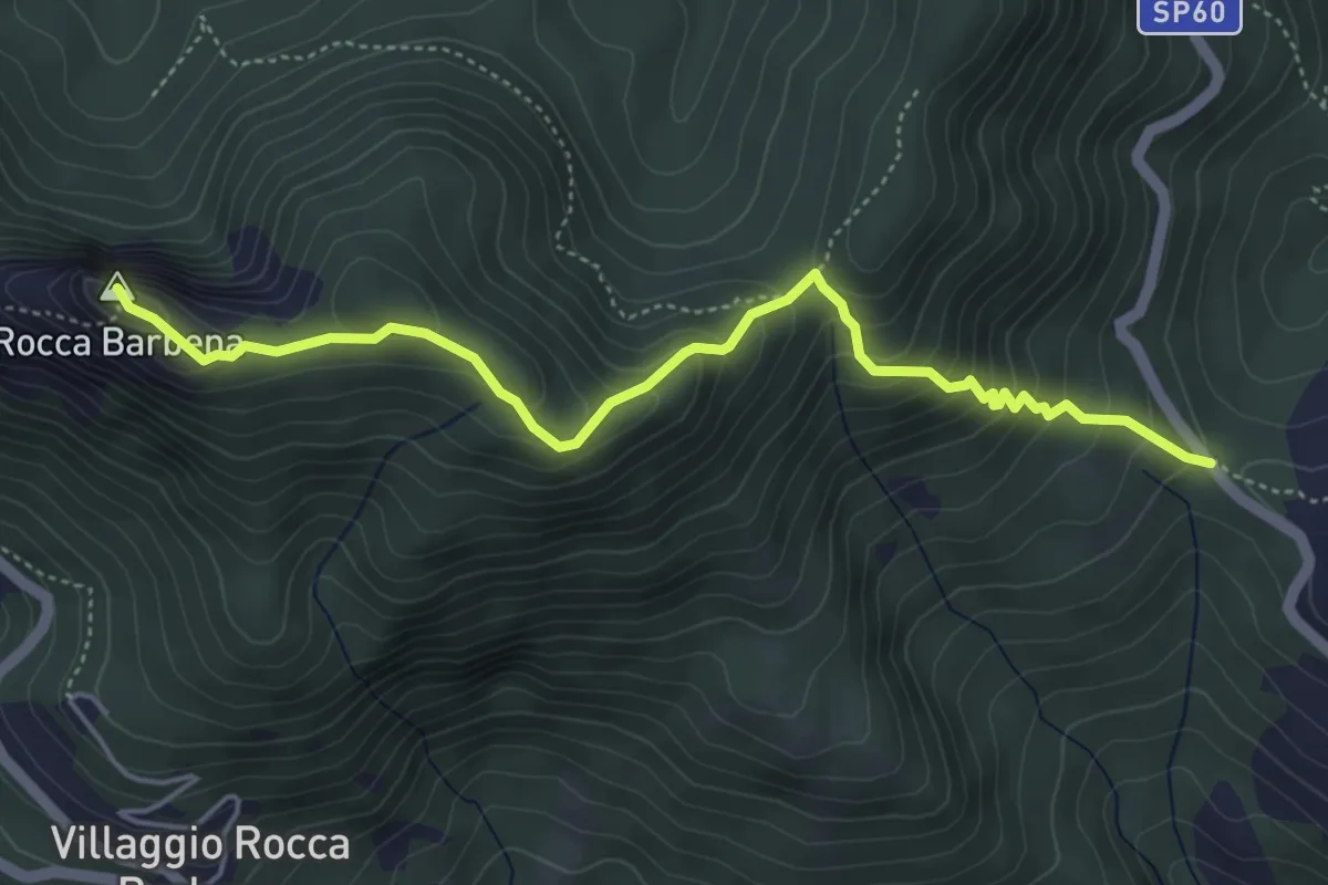
Medium · Summit
Colla Alzabecchi - Rocca Barbena
5.2 km · ↑ 464 m · 2 h 14 min
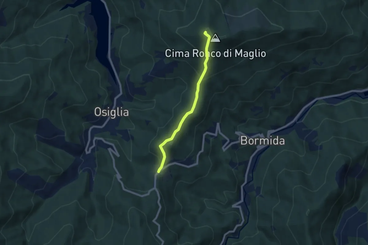
Medium · Summit
Colla Baltera - Ronco di Maglio (T gialla)
5.5 km · ↑ 378 m · 2 h 7 min
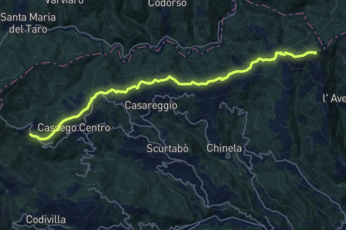
Medium · Summit
Colla Craiolo - Passo di Cento Croci
17.3 km · ↑ 611 m · 5 h 25 min
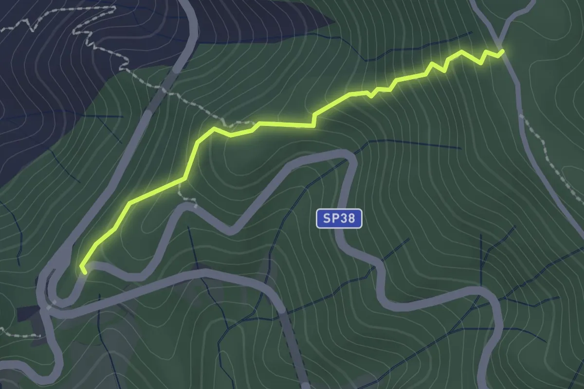
Easy · Trail
Colla di Gritta – Sella M.Crocettola (AV5T)
2.1 km · ↑ 237 m · 1 h
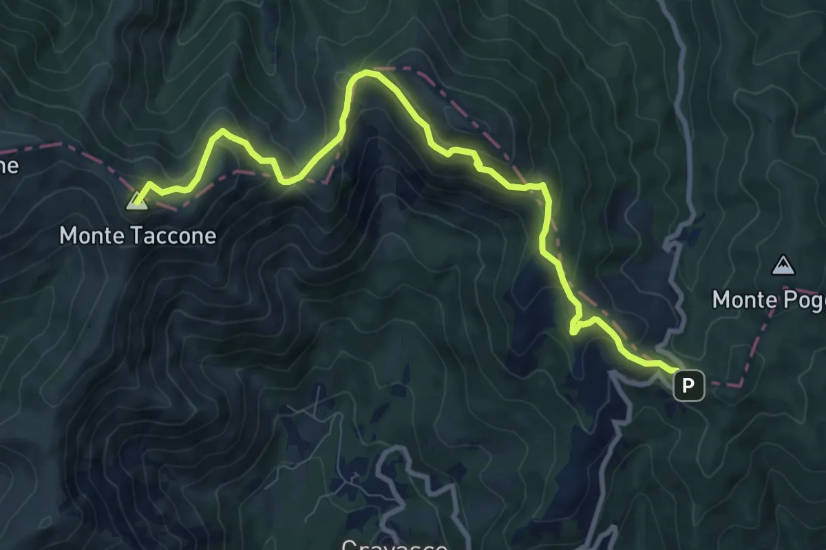
Medium · Summit
Colla di Praglia - Passo della Bocchetta
10.1 km · ↑ 541 m · 3 h 33 min
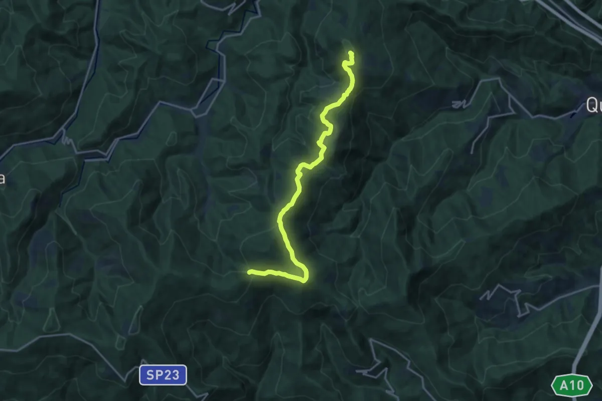
Medium · Summit
Colla di San Giacomo - Colle di Cadibona
15.9 km · ↑ 587 m · 5 h 2 min
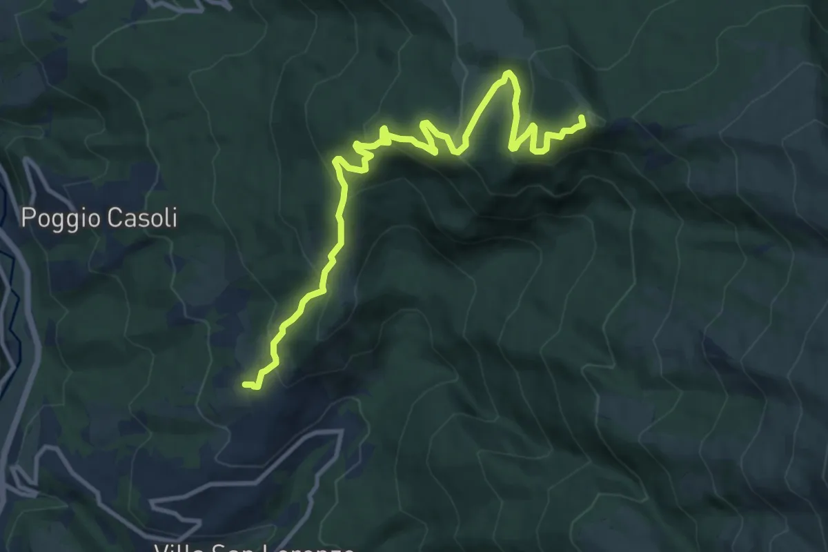
Medium · Summit
Collalto - Rif. Inversaturo
11.9 km · ↑ 632 m · 4 h 11 min
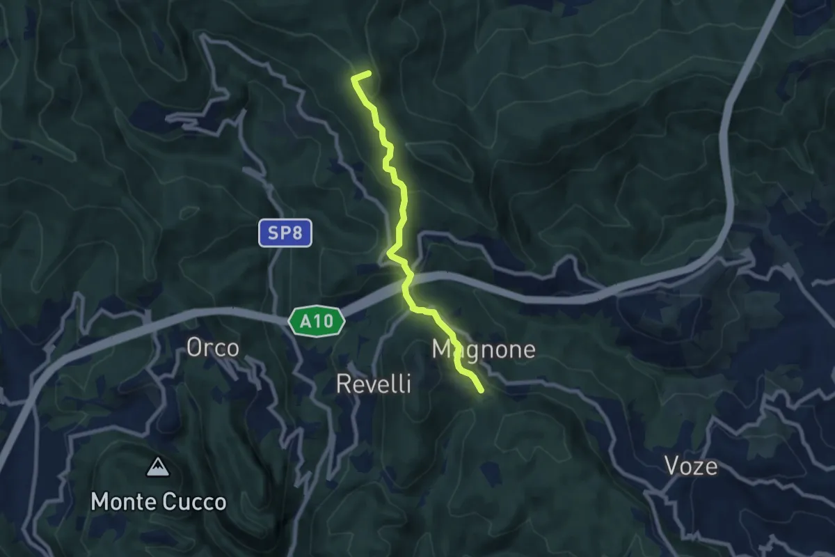
Easy · Summit
Colla Magnone - Santa Libera - Colla di San Giacomo
6.9 km · ↑ 283 m · 2 h 15 min
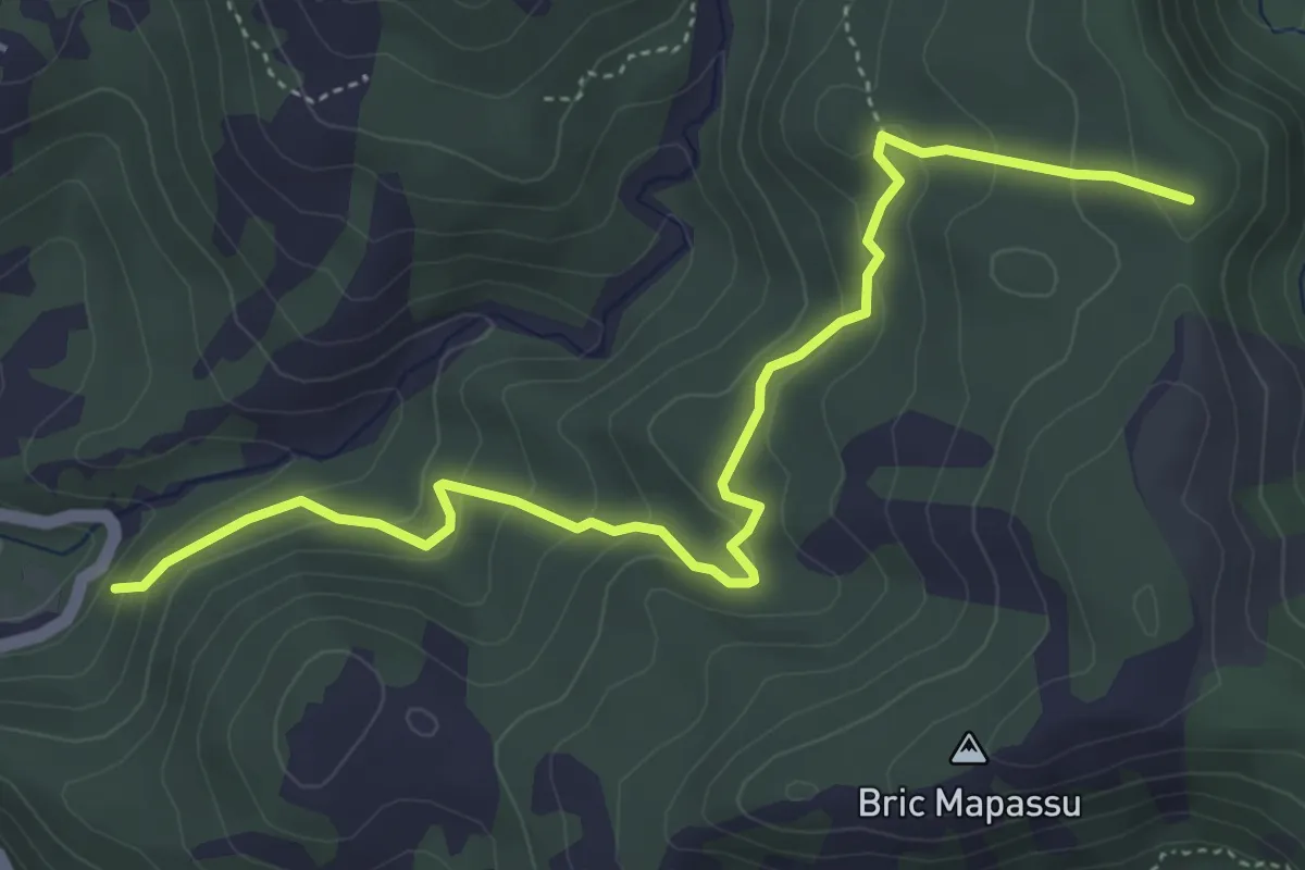
Easy · Summit
Colla Minetti – Morbetto
5.3 km · ↑ 312 m · 1 h 56 min
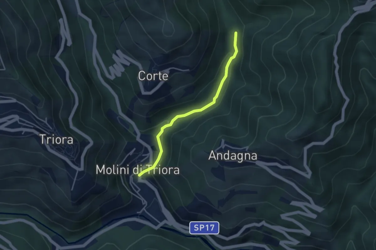
Easy · Trail
Colla Piana - Molini di Triora
3.1 km · ↑ 128 m · 1 h 1 min
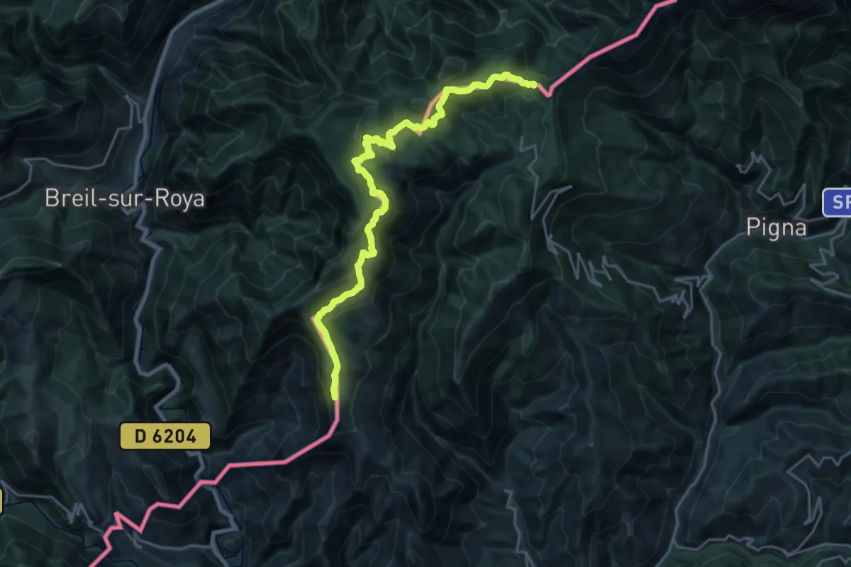
Demanding · Summit
Colla Sgora - Colle Scarassan
22.1 km · ↑ 1015 m · 7 h 25 min