Trails in Italy
25,211 hiking trails, each with its route, climb, walking time and grade.
All trails, page 56 of 526
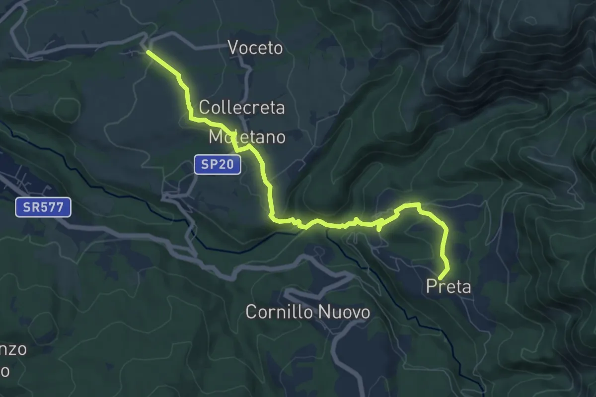
Medium · Trail
Collepagliuca - Moletano - Icona Passatora - Capricchia - Preta
9.0 km · ↑ 327 m · 2 h 50 min
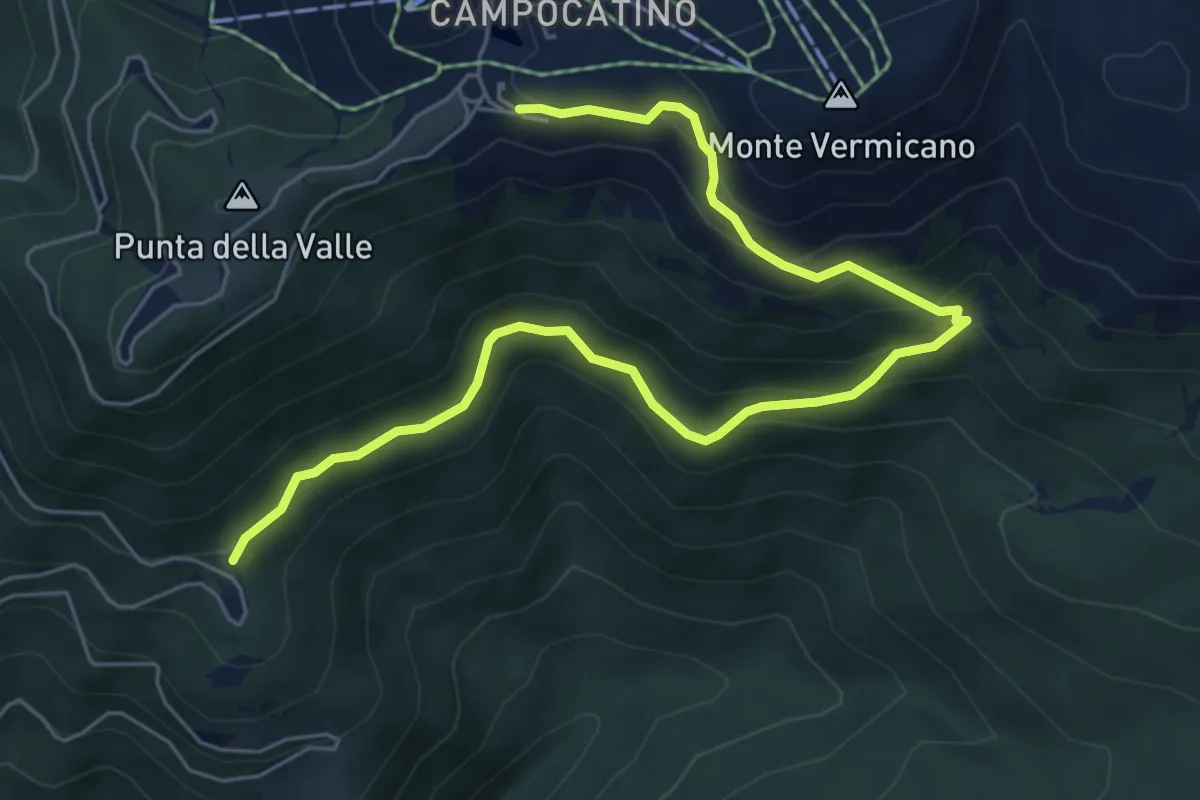
Medium · Cabin
Colle Pannunzio - Sorgenti Vermicano - Campocatino
7.6 km · ↑ 564 m · 3 h 1 min
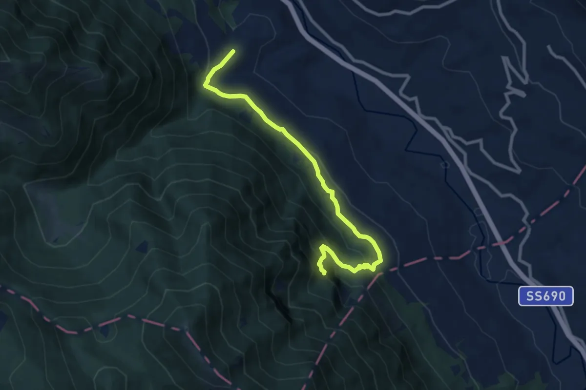
Medium · Trail
Collepiano - Eremo di Sant Janni
8.8 km · ↑ 421 m · 2 h 59 min
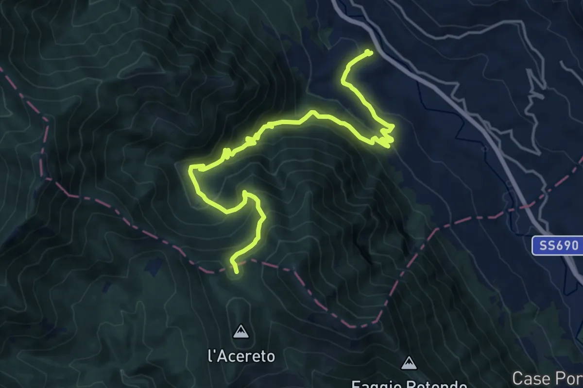
Demanding · Trail
Collepiano - Le Fosse (Serra Alta)
18.0 km · ↑ 1121 m · 6 h 41 min
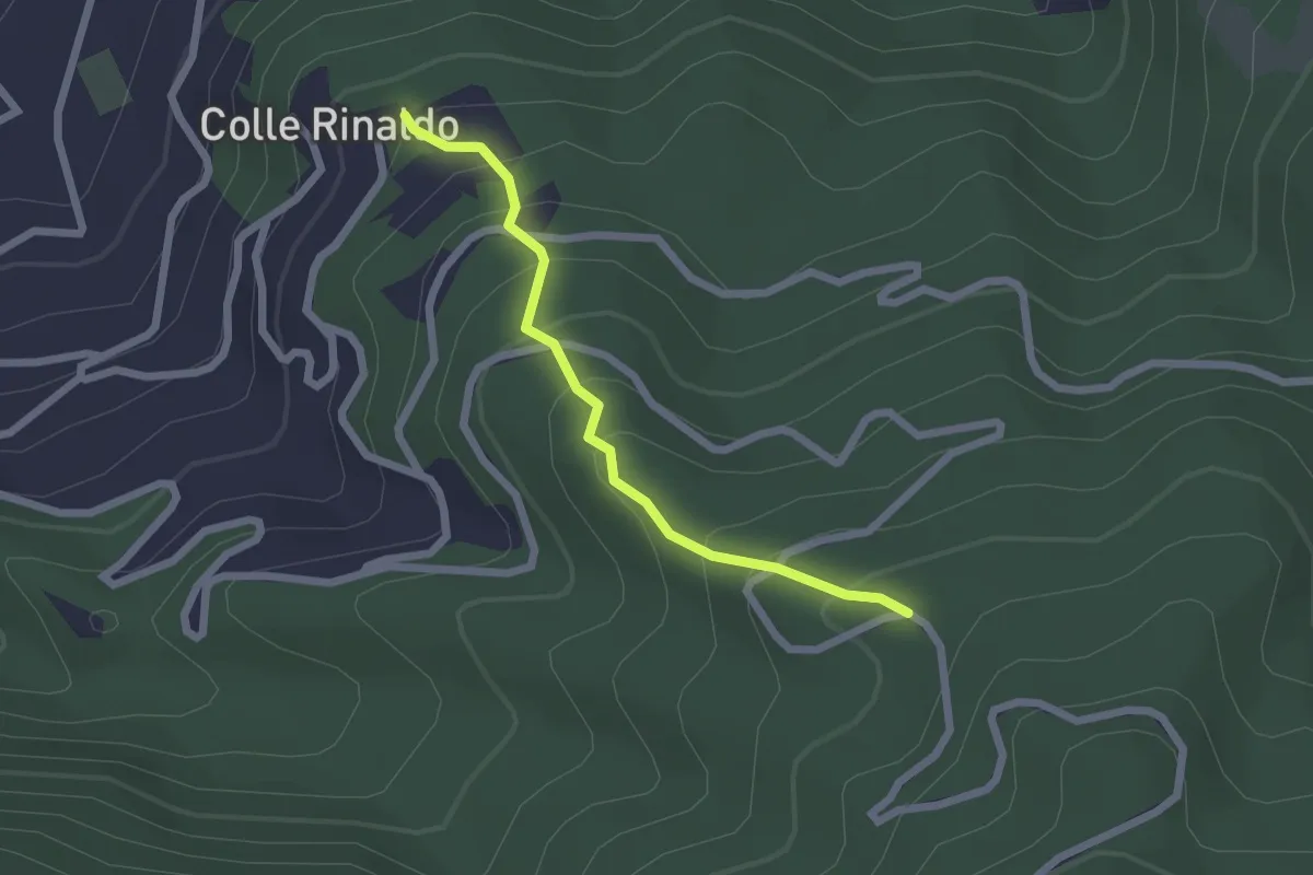
Easy · Trail
Collerinaldo - Mellitola
2.1 km · ↑ 197 m · 56 min
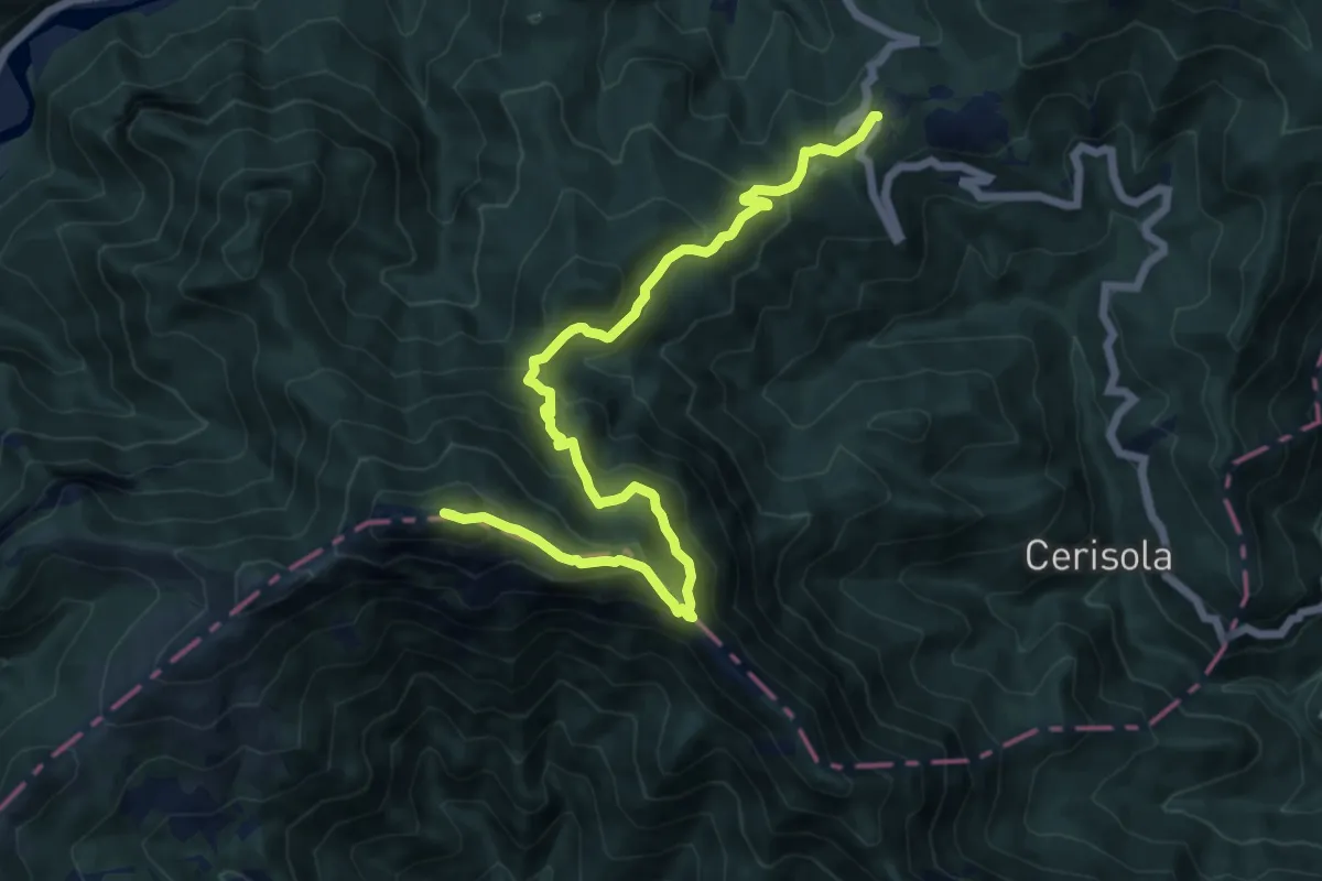
Demanding · Summit
Colle San Bartolomeo - Colle San Bernardo di Garessio
14.5 km · ↑ 958 m · 5 h 31 min
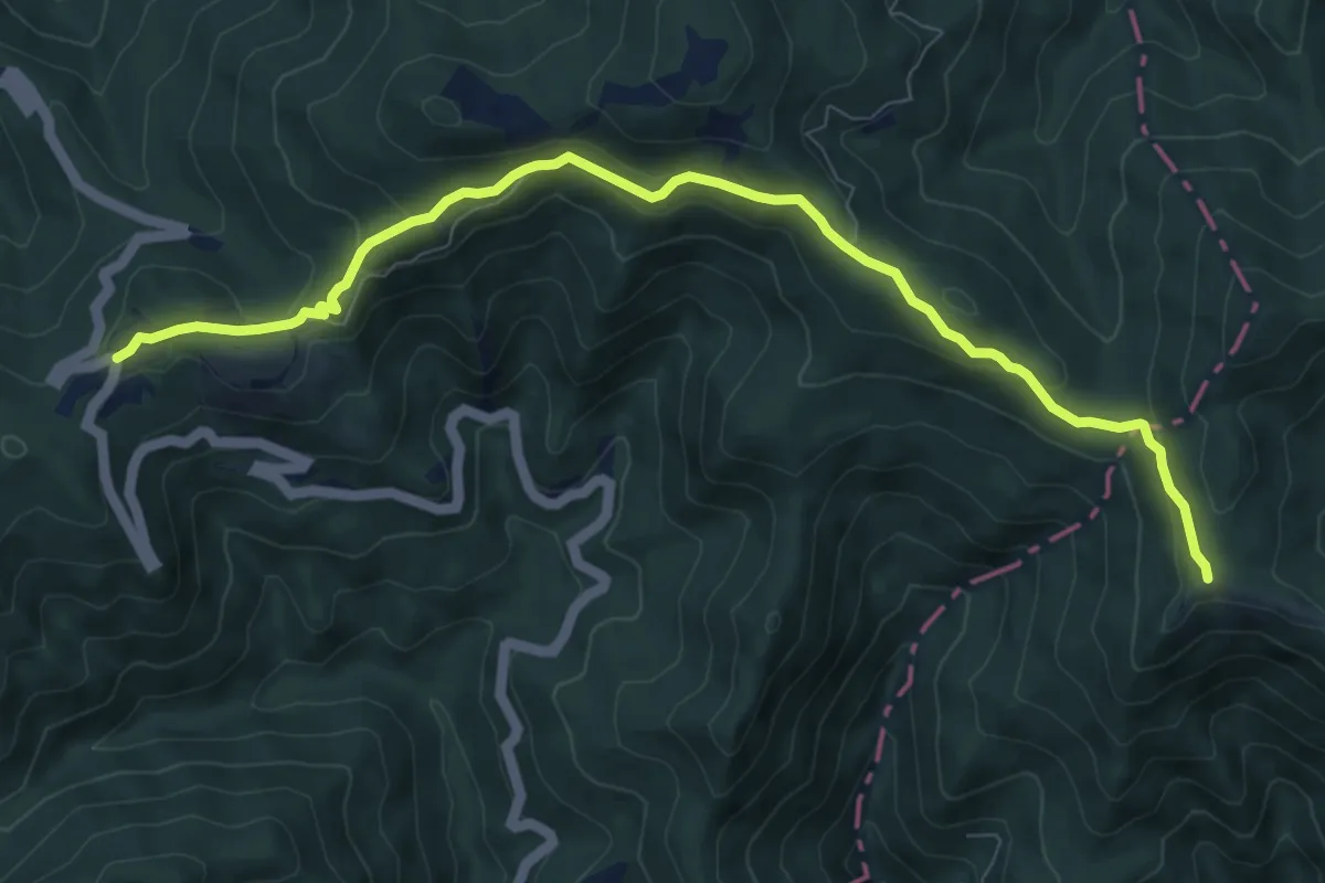
Medium · Summit
Colle San Bernardo di Garessio - Colle Scravaion
9.9 km · ↑ 322 m · 3 h 1 min
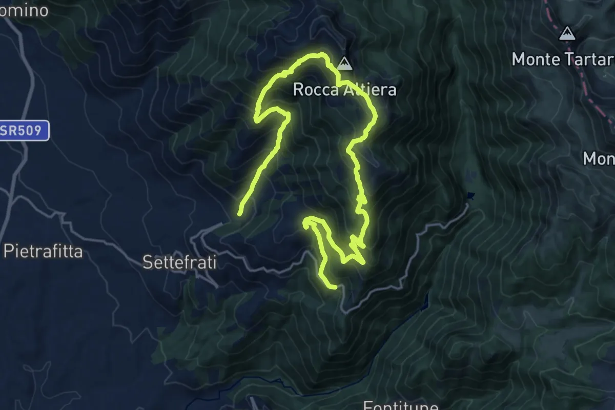
Demanding · Trail
Colle San Giacomo - Rocca Altiera - Fonte Canari
12.9 km · ↑ 1107 m · 5 h 31 min
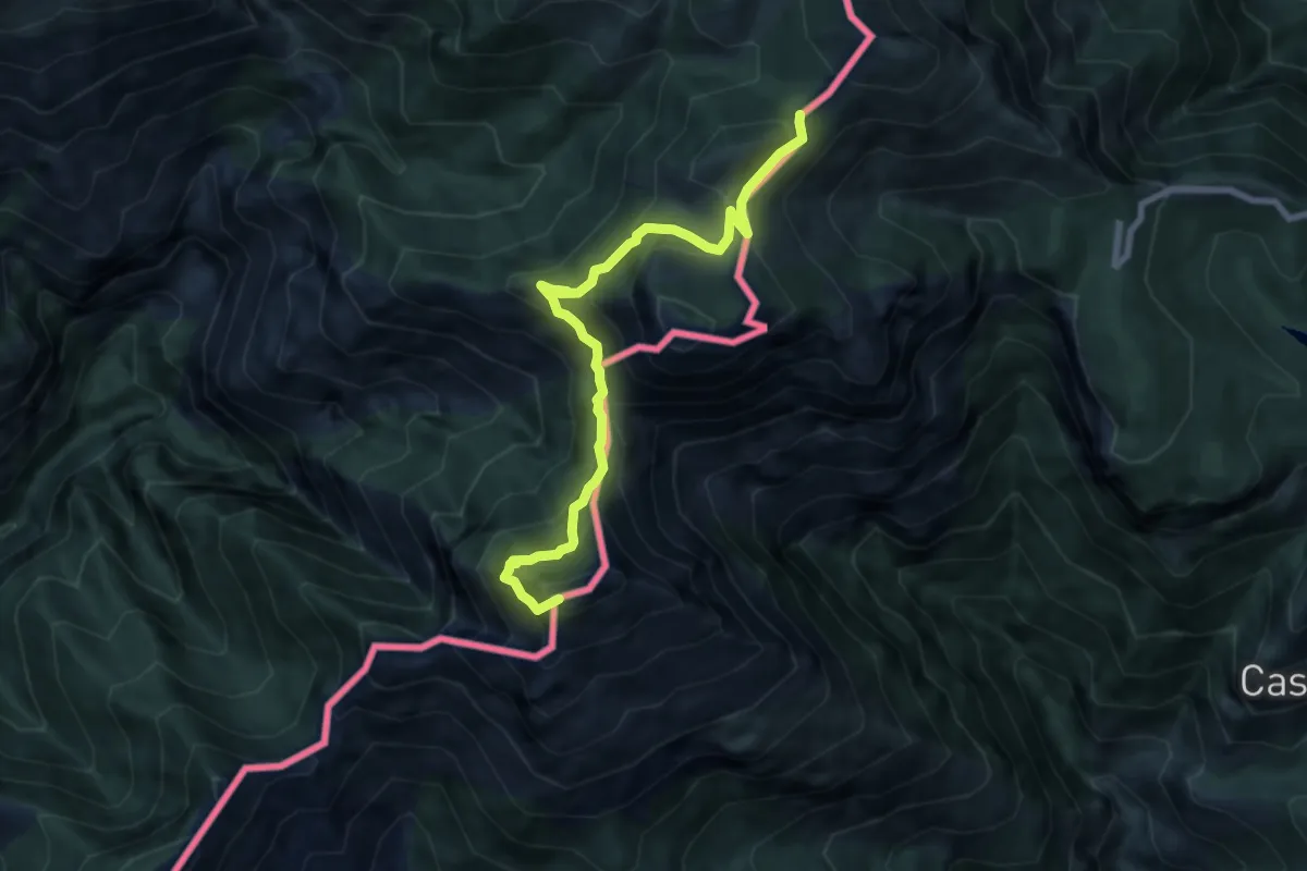
Demanding · Summit
Colle Scarassan - Sella d'Agnaira
8.1 km · ↑ 730 m · 3 h 29 min
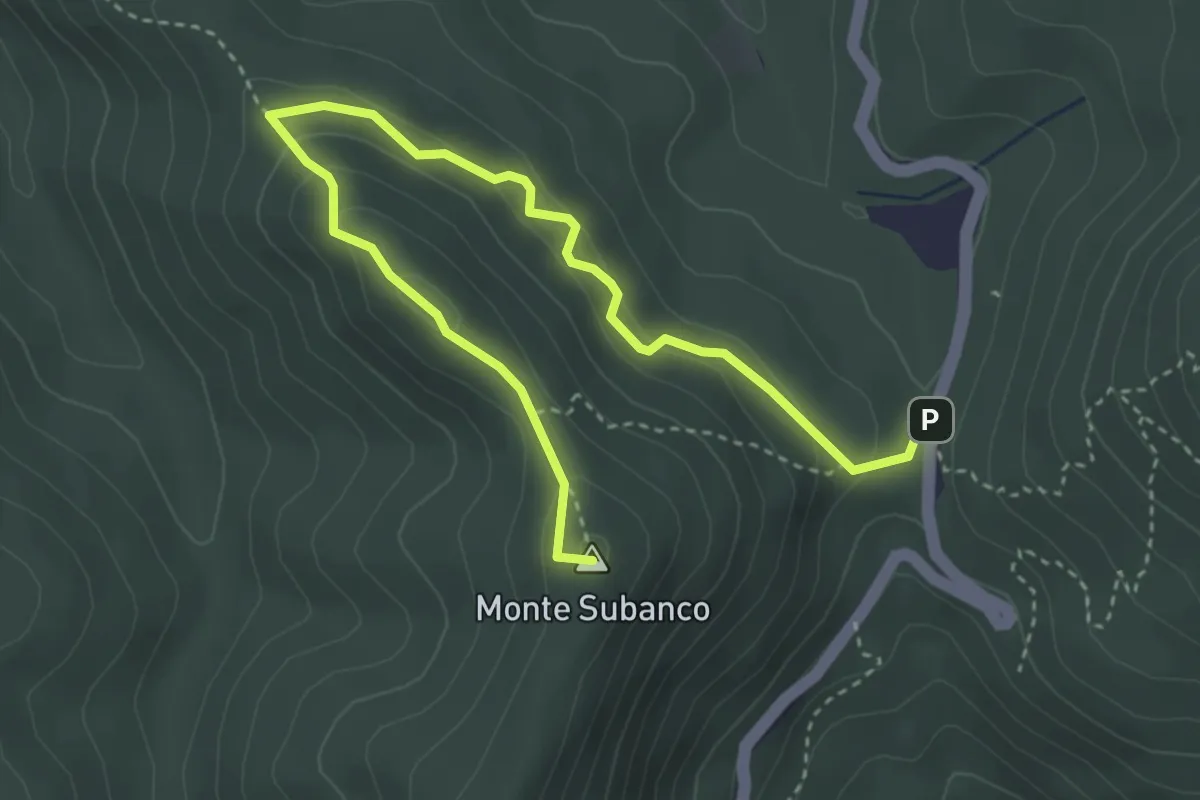
Medium · Summit
Colle Scravaion - Giogo di Toirano
4.8 km · ↑ 241 m · 1 h 39 min
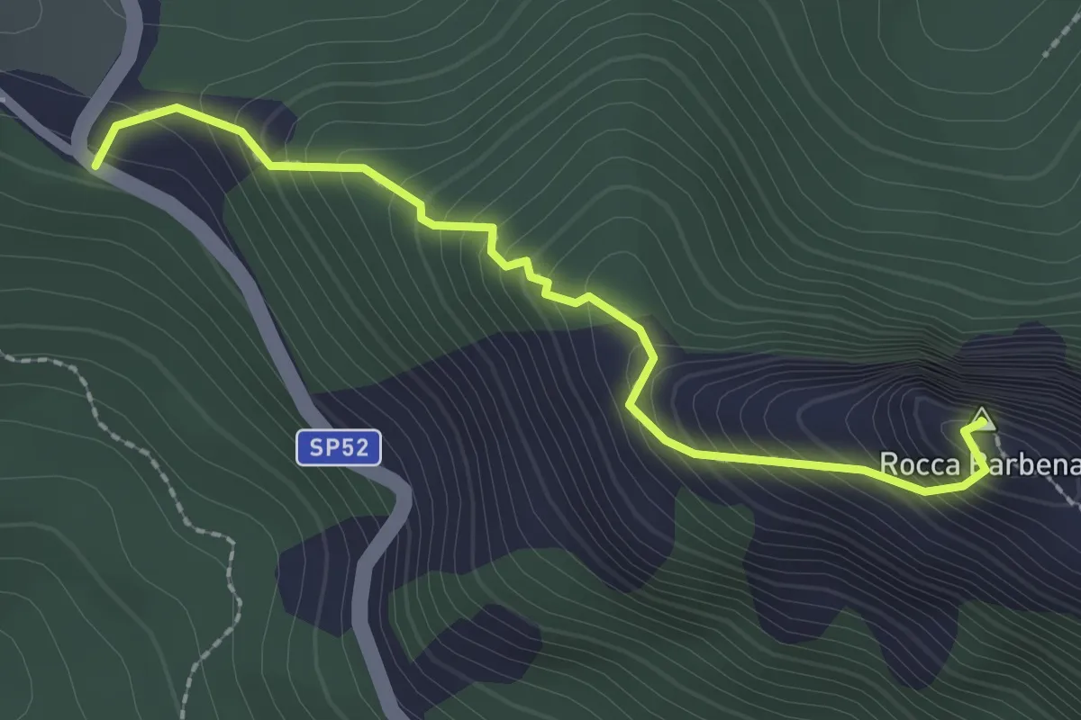
Demanding · Summit
Colle Scravaion - Rocca Barbena
2.4 km · ↑ 327 m · 1 h 16 min
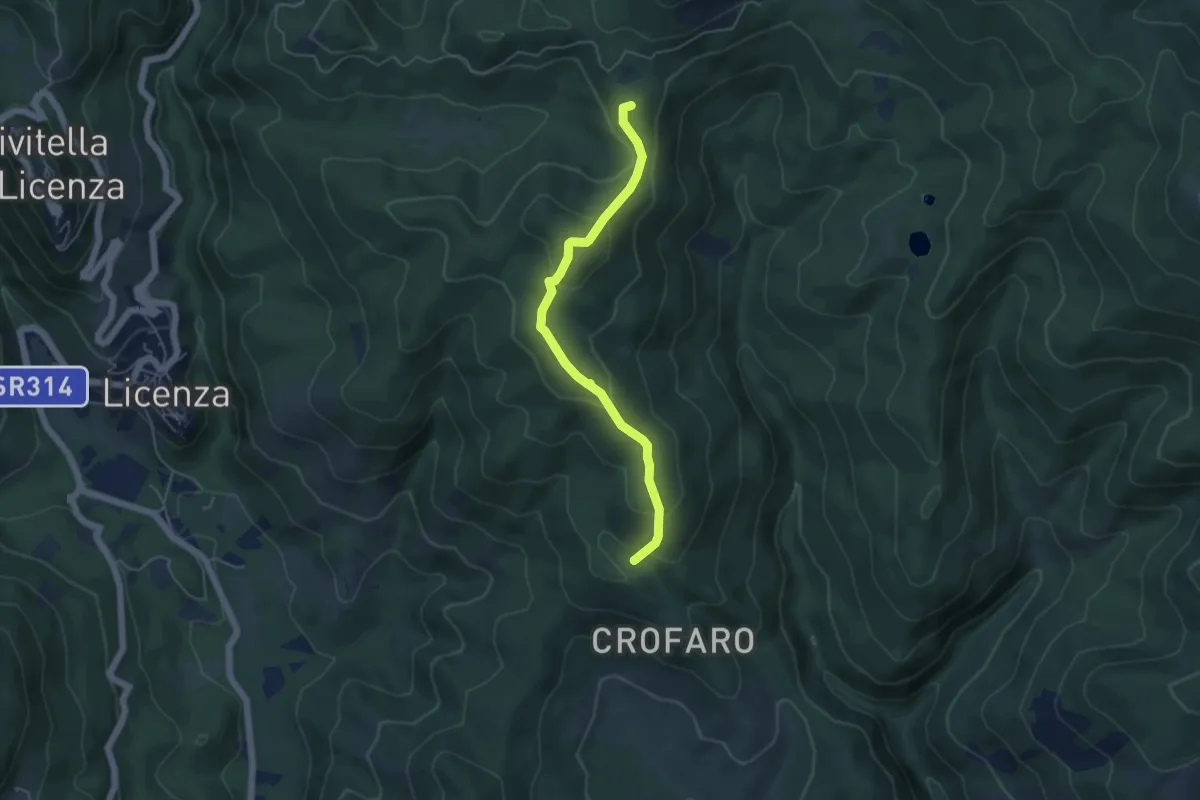
Easy · Summit
Colle Serranile-Fosso Turana
5.1 km · ↑ 262 m · 1 h 46 min
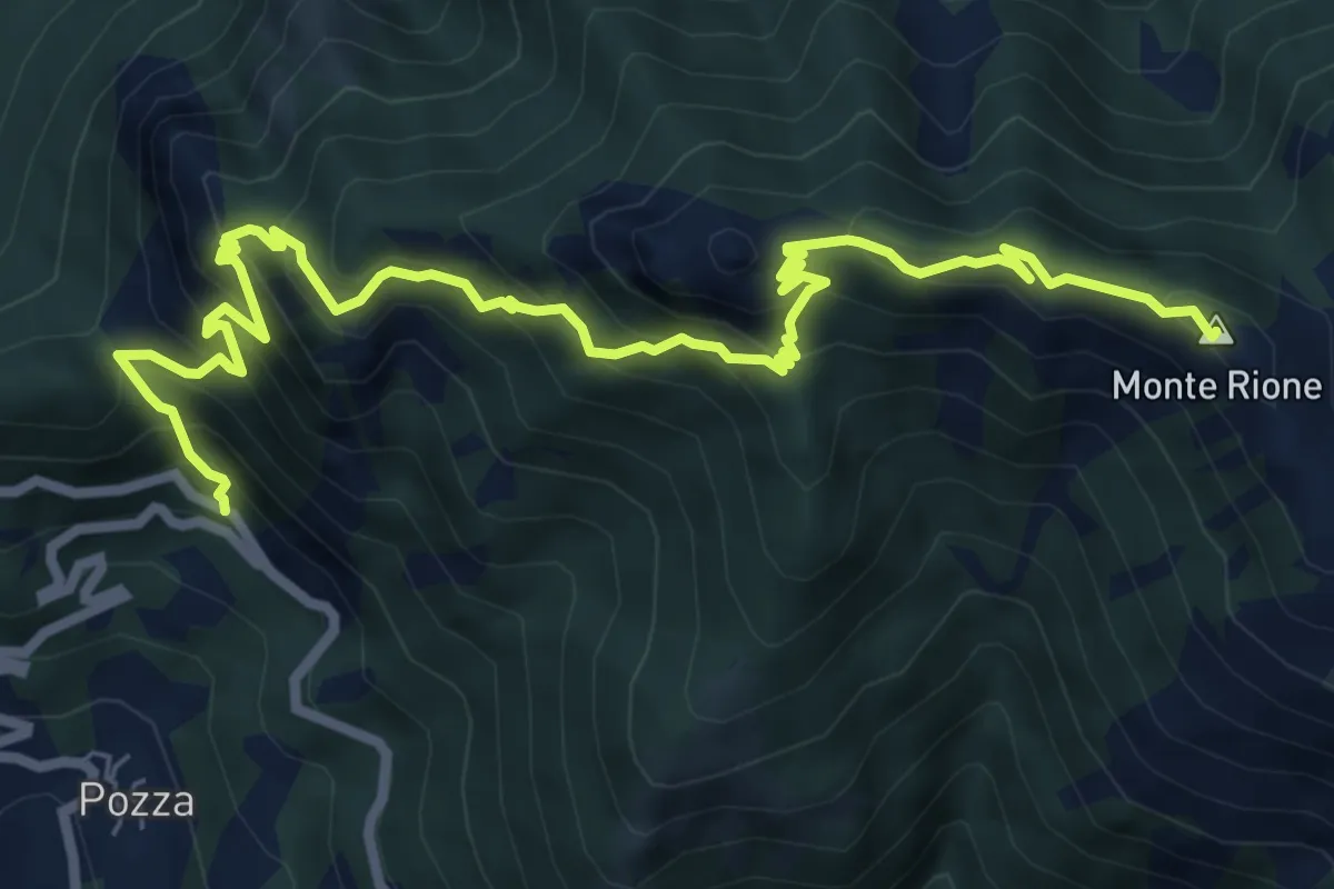
Demanding · Summit
Colletto di Posina - Monte Rione
9.3 km · ↑ 912 m · 4 h 10 min
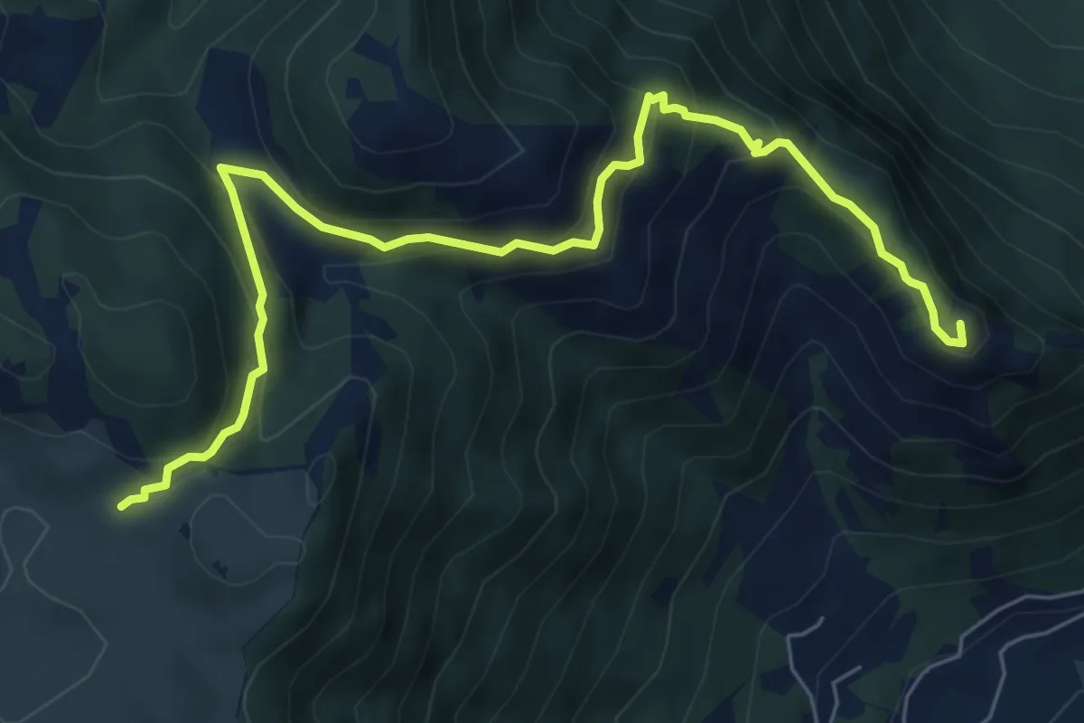
Medium · Summit
Colletto Piccolo - Busa Novegno
7.6 km · ↑ 508 m · 2 h 53 min
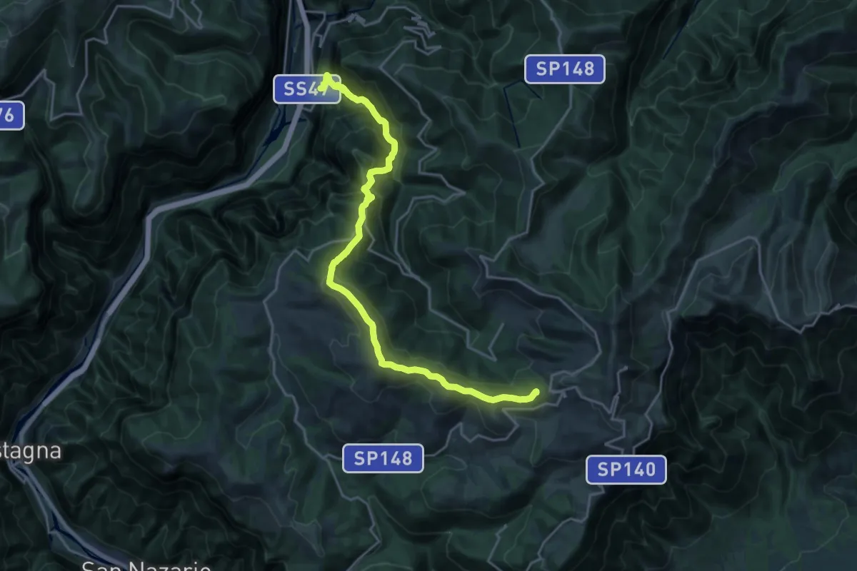
Demanding · Summit
Colli Asoloni
21.2 km · ↑ 1492 m · 8 h 14 min
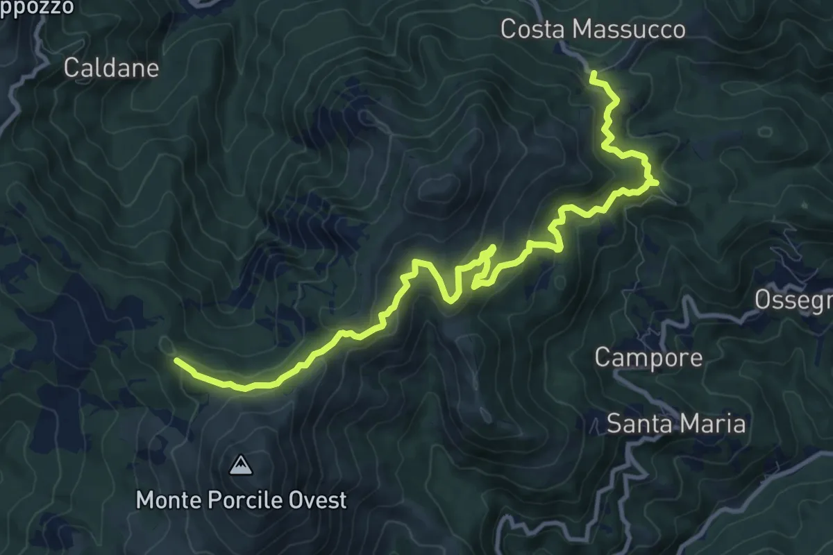
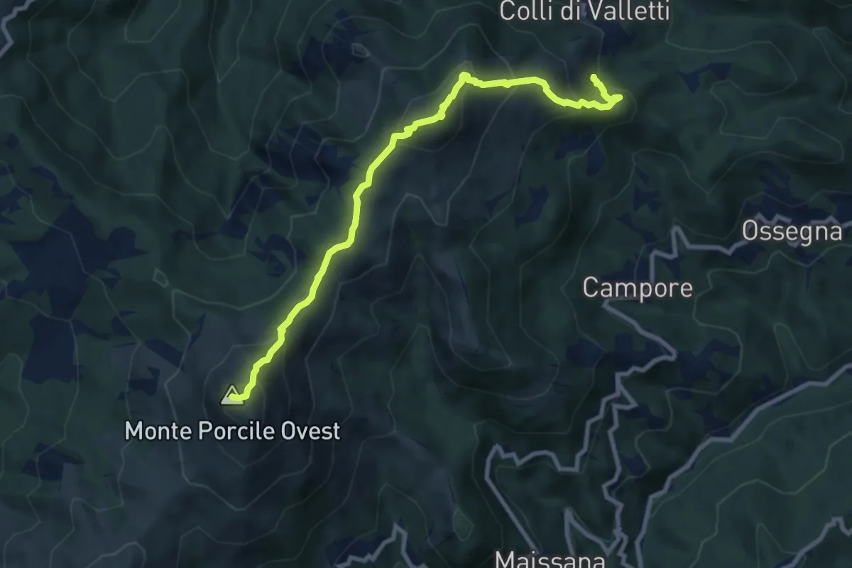
Medium · Trail
Colli di Valletti - Fontana Sacrata - Sella Monte Porcile - Bivio AV5T
12.6 km · ↑ 671 m · 4 h 25 min
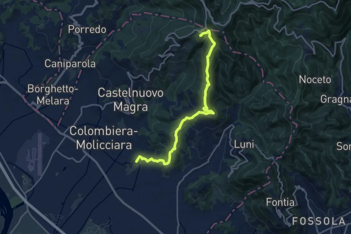
Demanding · Summit
Colli di Valletti - Monte Verruga - Monte Porcile - Bivio AV5T
8.8 km · ↑ 740 m · 3 h 41 min
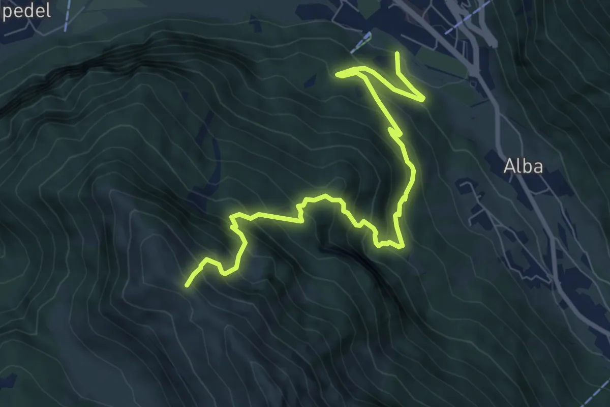
Medium · Trail
Coll. VF - Olmarello - Sarticola – Monticello – C. Bertella
12.1 km · ↑ 625 m · 4 h 13 min
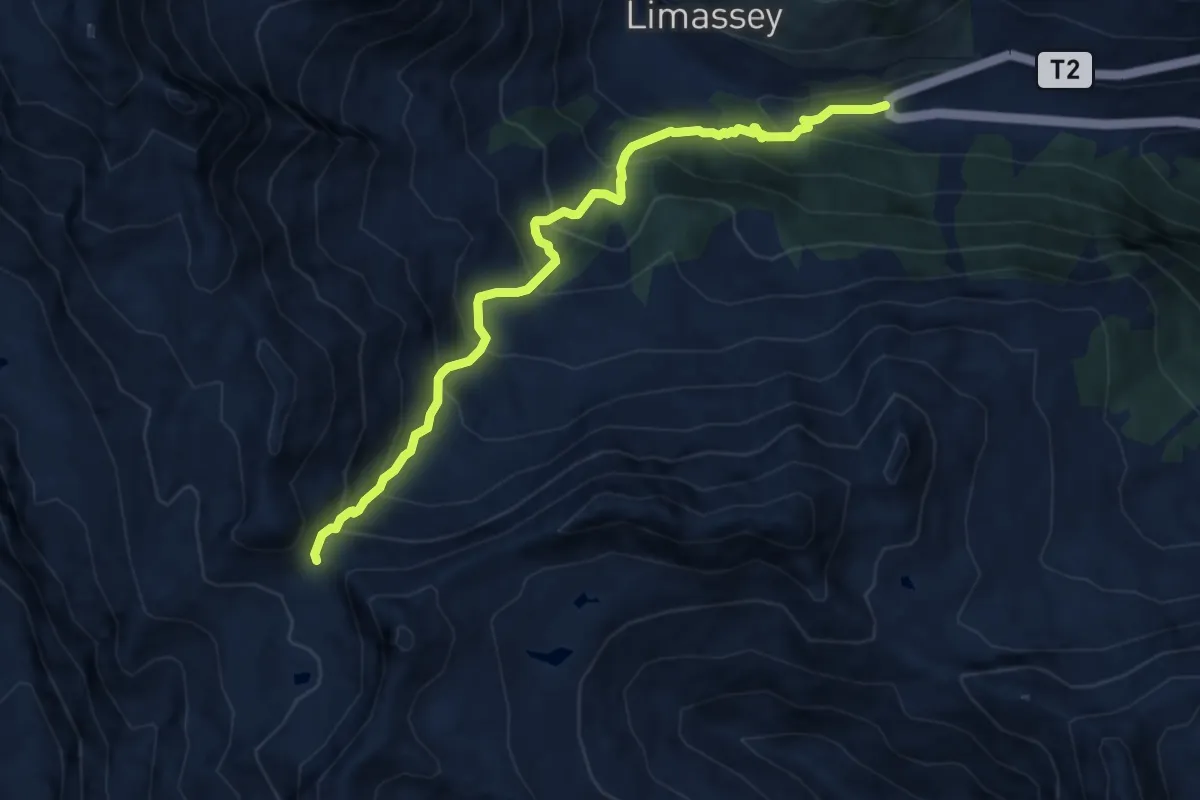
Demanding · Trail
Col Pelous
8.7 km · ↑ 915 m · 4 h 2 min
Demanding · Trail
Col Serena
9.4 km · ↑ 885 m · 4 h 9 min
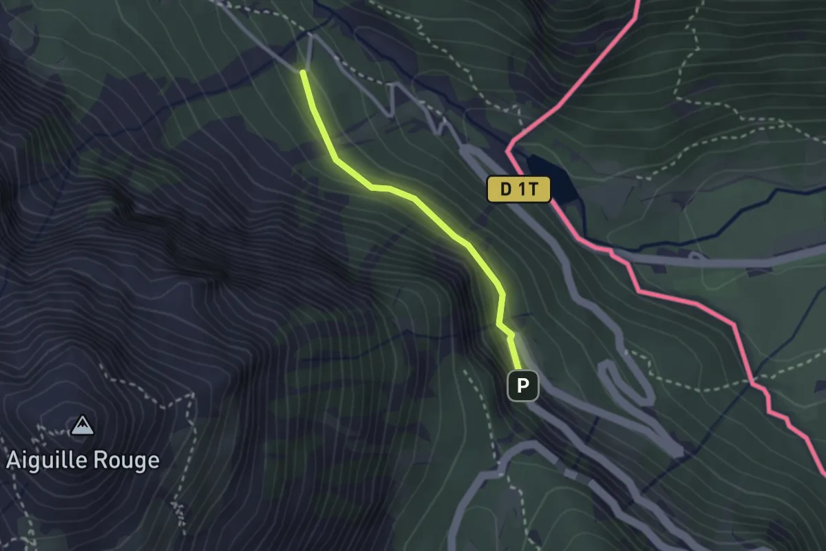
Easy · Trail
Combe Jaune - L'Échelle
2.1 km · ↑ 117 m · 45 min
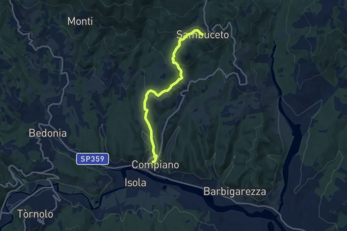
Medium · Trail
Compiano-Sambuceto
9.4 km · ↑ 370 m · 3 h 2 min
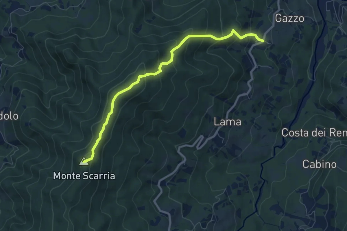
Medium · Summit
Comune Soprano - Monte Scarria - Sidolo
7.5 km · ↑ 502 m · 2 h 51 min
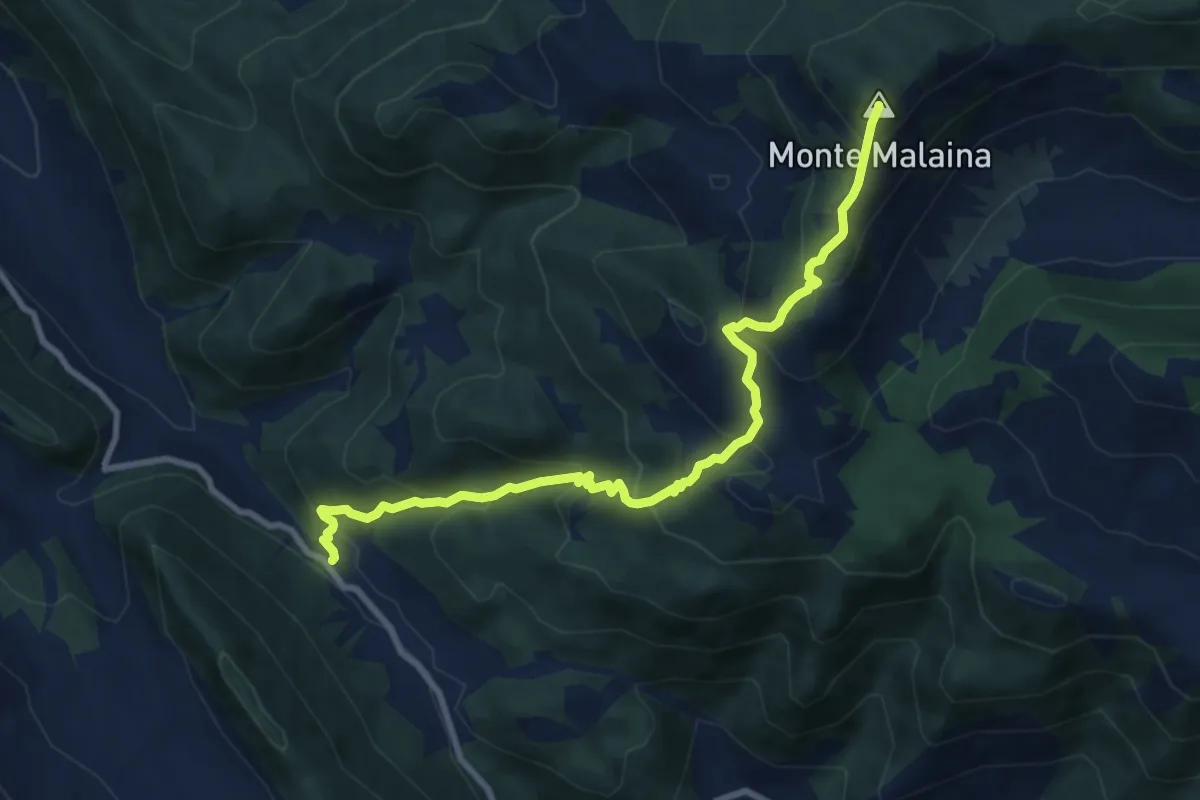
Medium · Summit
Cona di Selvapiana-Monte Malaina
10.1 km · ↑ 790 m · 4 h 5 min
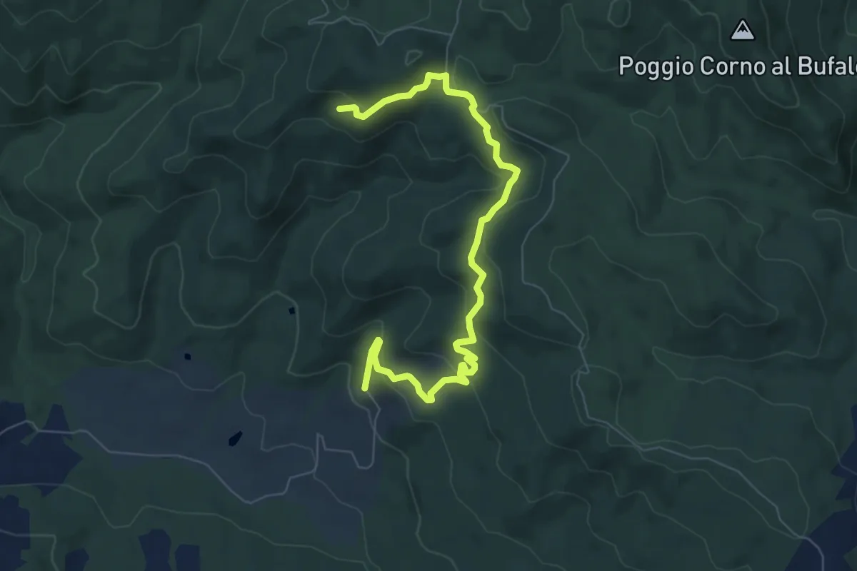
Medium · Trail
Conca di Villetta
8.3 km · ↑ 339 m · 2 h 41 min
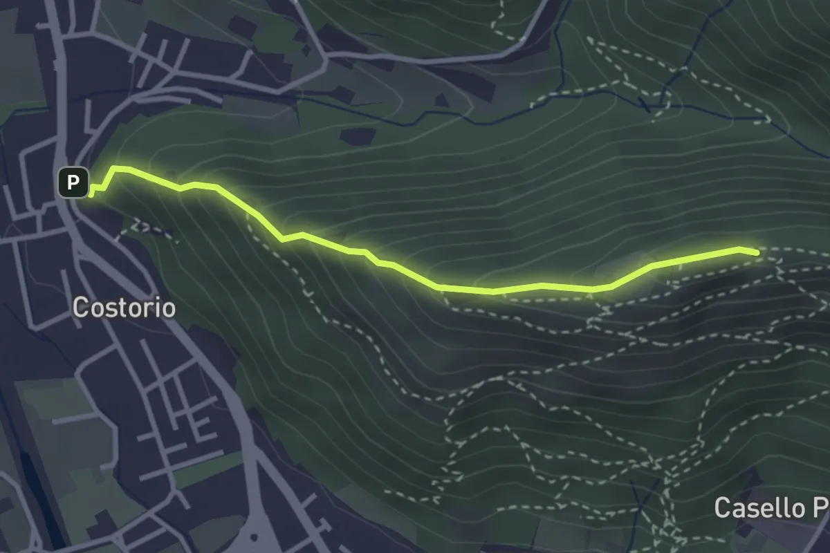
Medium · Summit
Concesio (Costorio) - Grassi Carpini
3.0 km · ↑ 329 m · 1 h 25 min
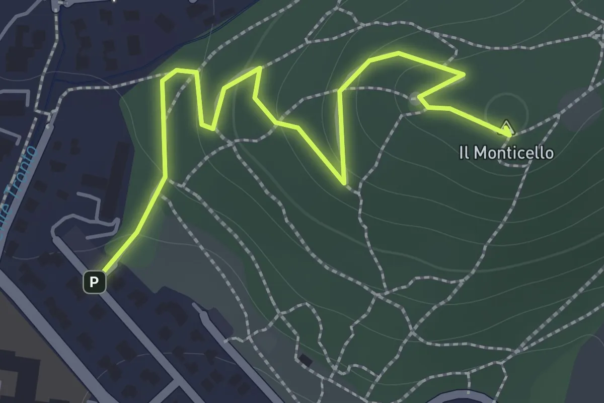
Easy · Summit
Concesio (Monticello) - Sentiero 1
2.0 km · ↑ 76 m · 38 min
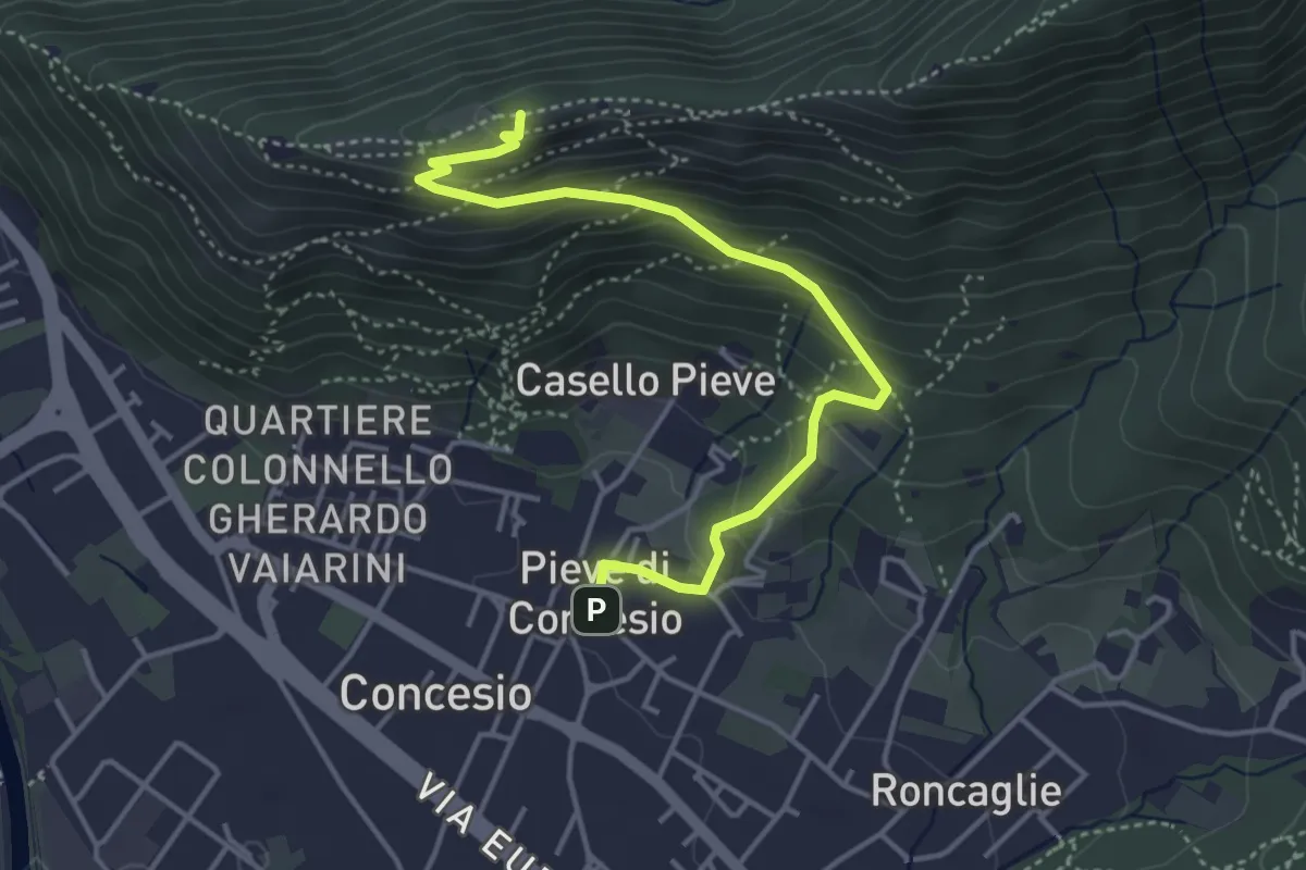
Medium · Cabin
Concesio (Pieve) - Monte Verdura
4.4 km · ↑ 333 m · 1 h 46 min
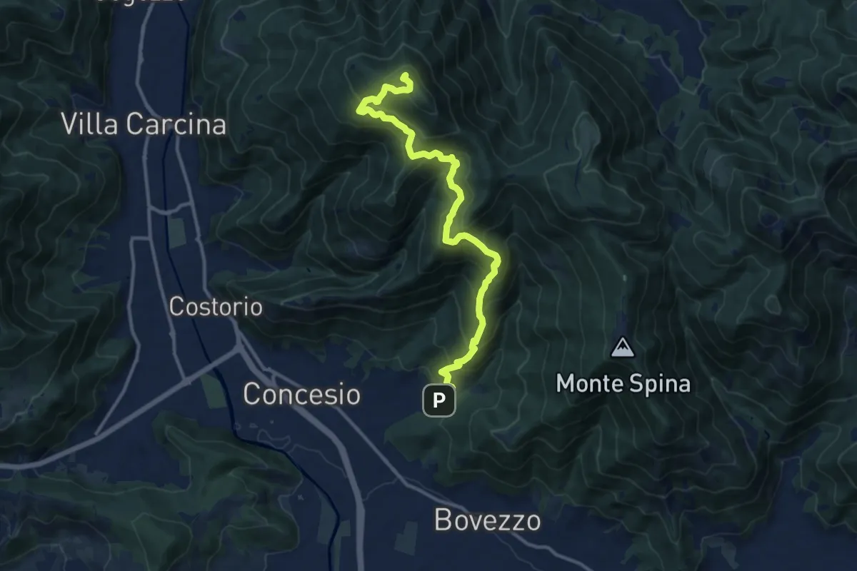
Demanding · Summit
Concesio (Roncaglie) - Monte Palosso
12.8 km · ↑ 1042 m · 5 h 17 min
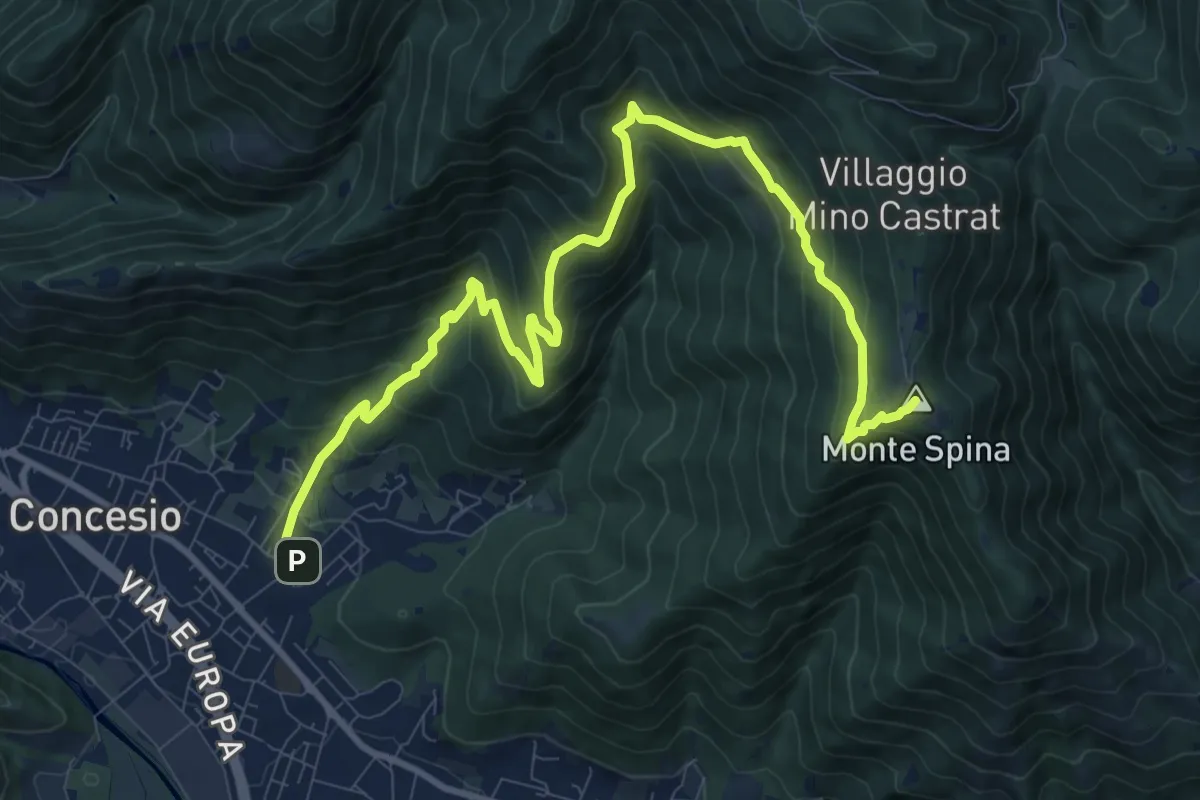
Demanding · Summit
Concesio (Roncaglie) - Sant'Onofrio
13.1 km · ↑ 861 m · 4 h 57 min
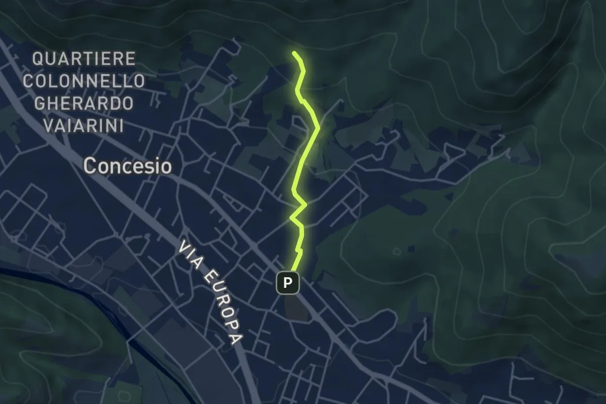
Easy · Trail
Concesio (Sant'Andrea) - Monte Verdura (Innesto Sentiero da Pieve)
2.6 km · ↑ 114 m · 52 min
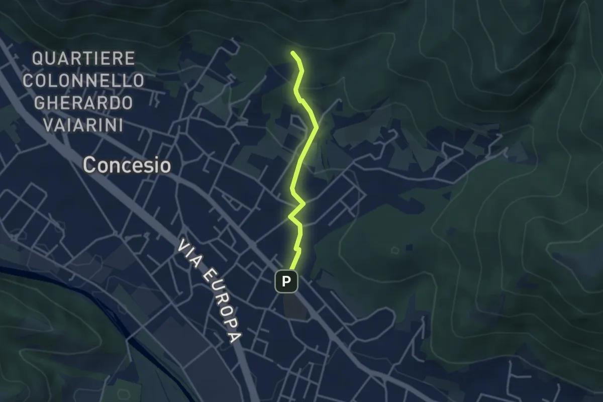
Easy · Trail
Concesio (Sant'Andrea) - Monte Verdura (Innesto Sentiero G)
2.6 km · ↑ 114 m · 52 min
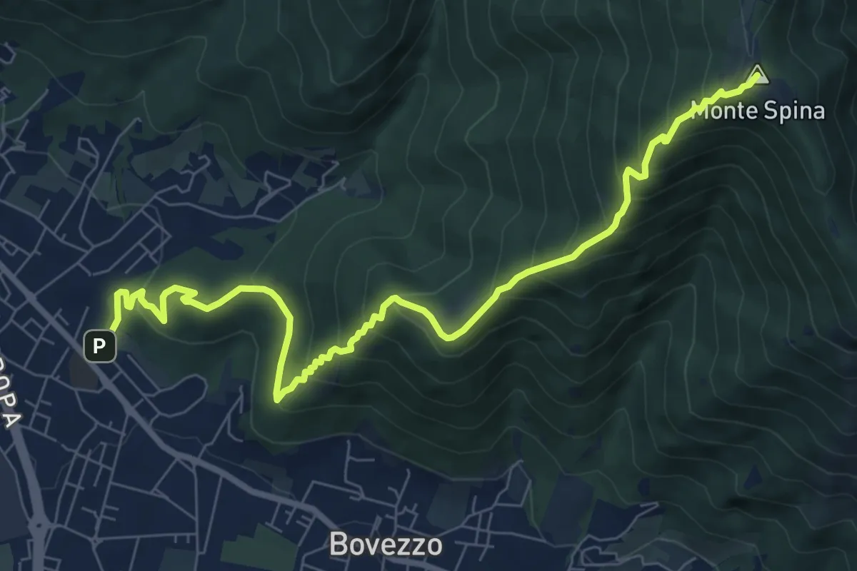
Medium · Summit
Concesio (Sant'Andrea) - Sant'Onofrio
9.4 km · ↑ 736 m · 3 h 48 min
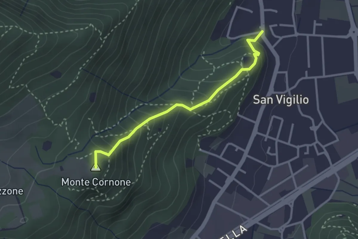
Medium · Summit
Concesio (San Vigilio) - Quarone di Sopra
2.6 km · ↑ 259 m · 1 h 11 min
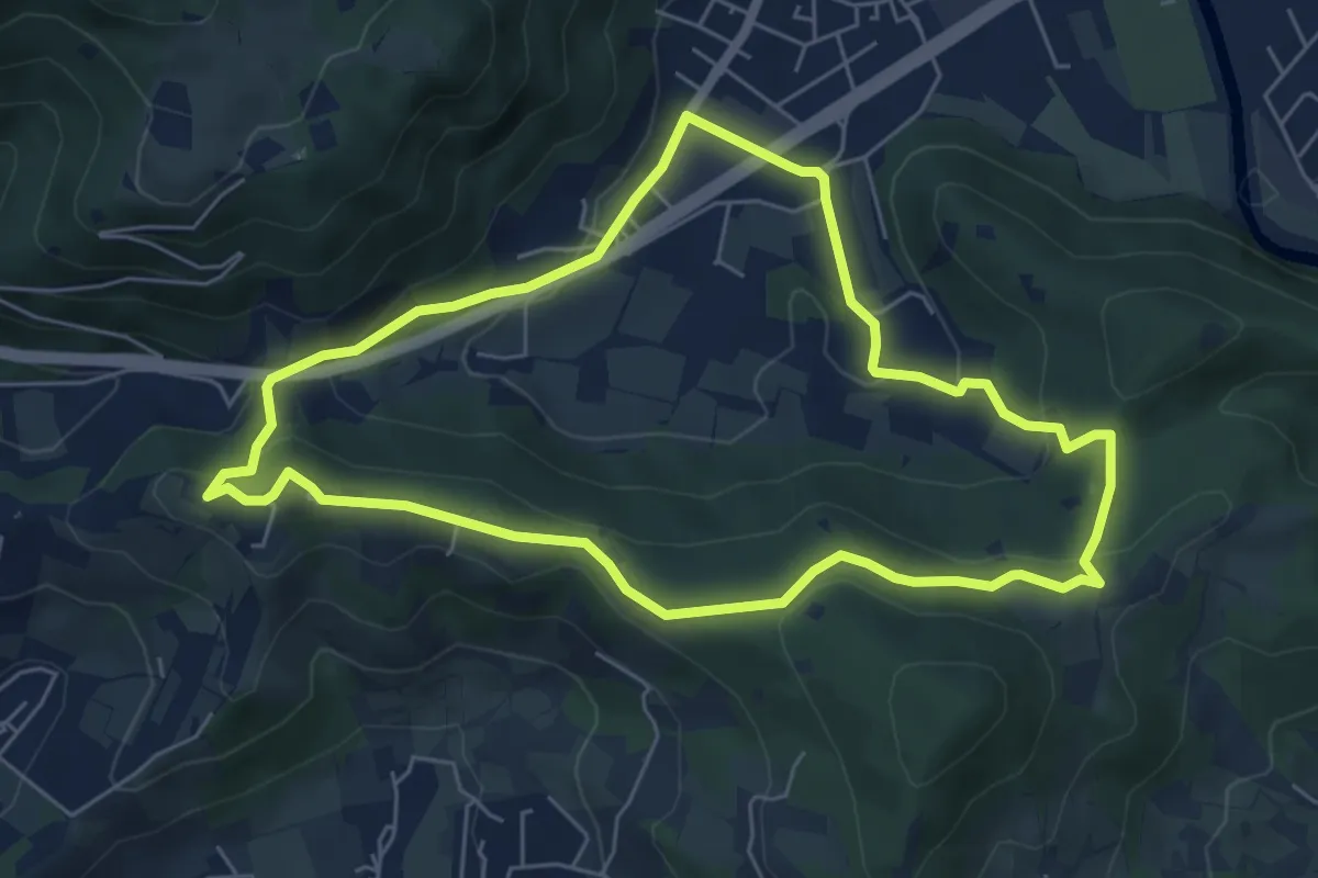
Easy · Trail
Concesio - Valsorda
6.0 km · ↑ 208 m · 1 h 57 min
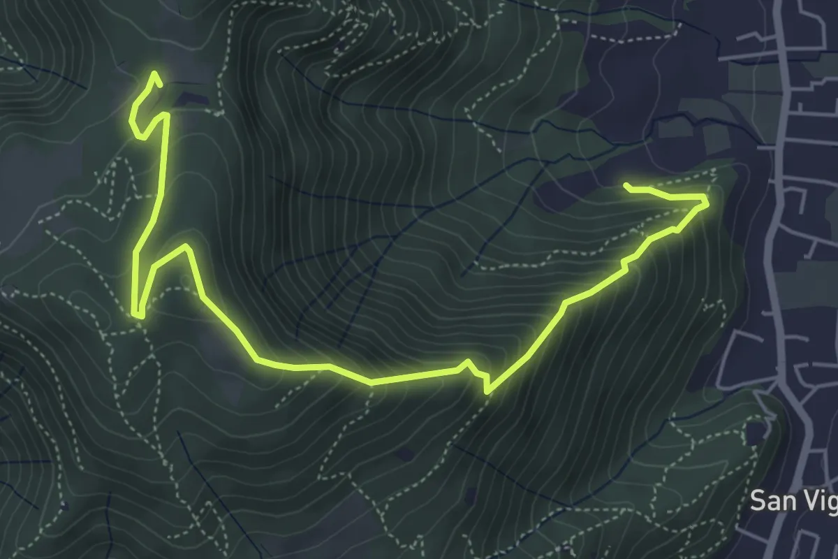
Medium · Trail
Concesio (Via Mandò) - Costa - Quarone di Sopra
6.6 km · ↑ 592 m · 2 h 50 min
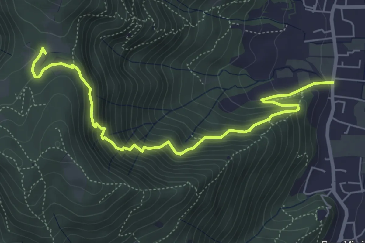
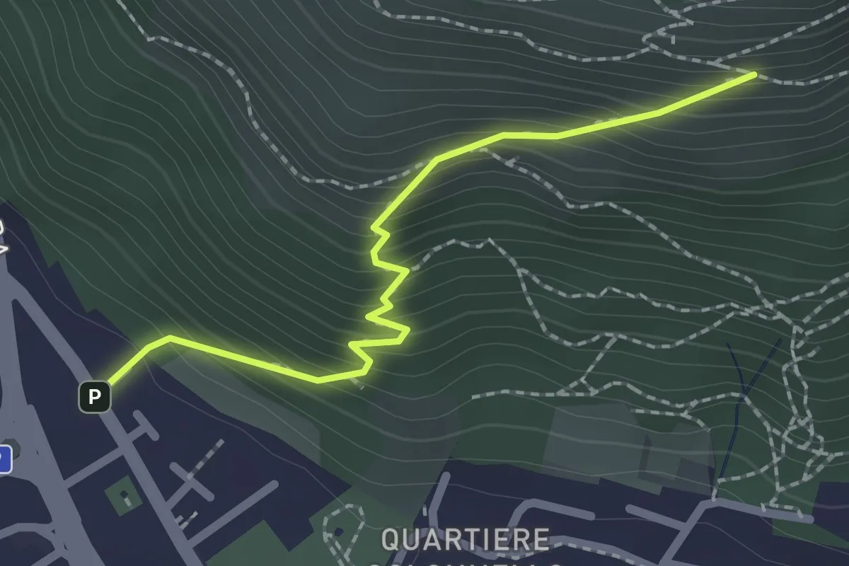
Medium · Trail
Concesio (Via Mandò) - Quarone di Sopra
6.2 km · ↑ 571 m · 2 h 42 min
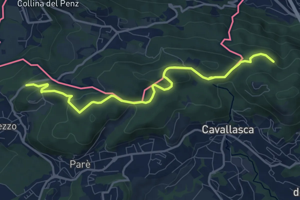
Medium · Cabin
Concesio (Vicolo Verdura) - Monte Verdura (Innesto Sentiero da Pieve)
2.1 km · ↑ 271 m · 1 h 5 min
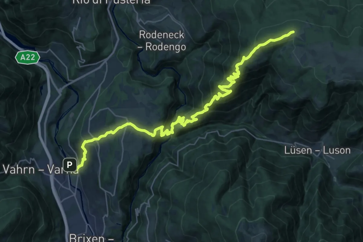
Medium · Trail
Confinale
9.1 km · ↑ 322 m · 2 h 50 min
Demanding · Trail
Confinweg/Schöpfungsweg
15.8 km · ↑ 1586 m · 6 h 45 min
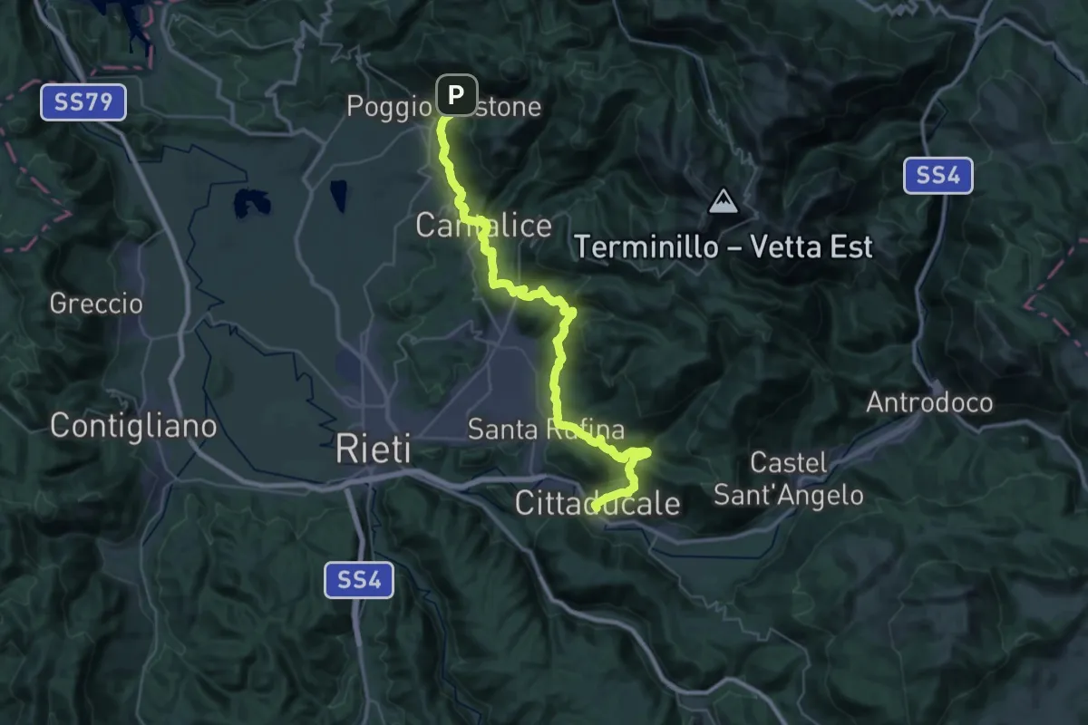
Demanding · Pilgrim path
Con le ali ai piedi - 1
23.6 km · ↑ 872 m · 7 h 58 min
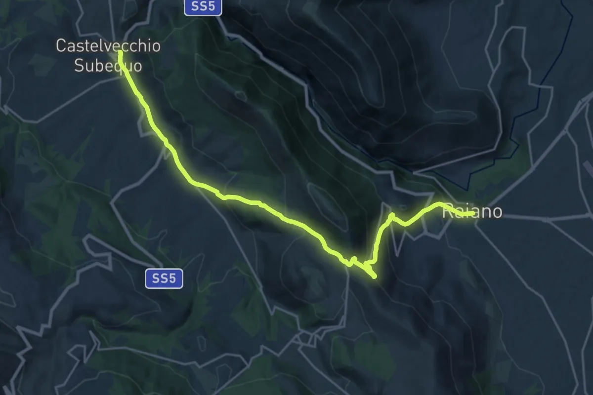
Demanding · Trail
Con le ali ai piedi - 10
21.3 km · ↑ 961 m · 7 h 7 min
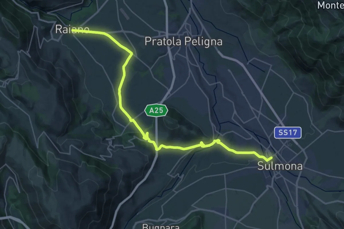
Medium · Trail
Con le Ali ai Piedi - 11
15.0 km · ↑ 222 m · 4 h 14 min
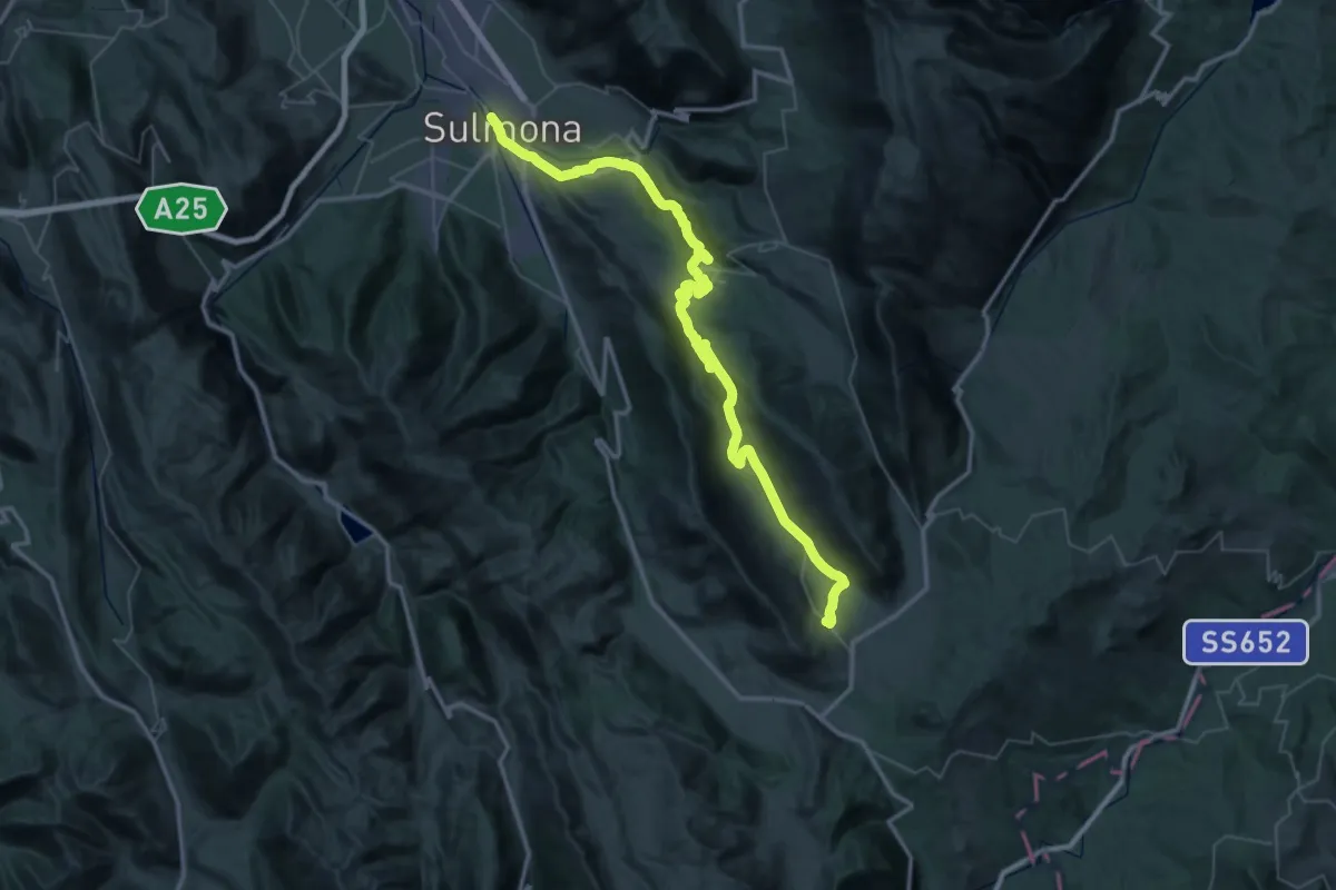
Demanding · Trail
Con le Ali ai piedi - 12
32.4 km · ↑ 1179 m · 10 h 10 min
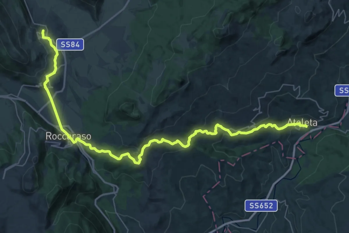
Demanding · Trail
Con le ali ai piedi - 13
18.9 km · ↑ 183 m · 5 h 26 min
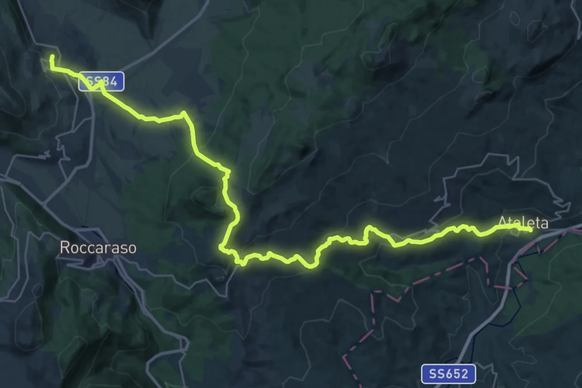
Medium · Trail
Con le ali ai piedi - 13 var
17.5 km · ↑ 327 m · 5 h 23 min
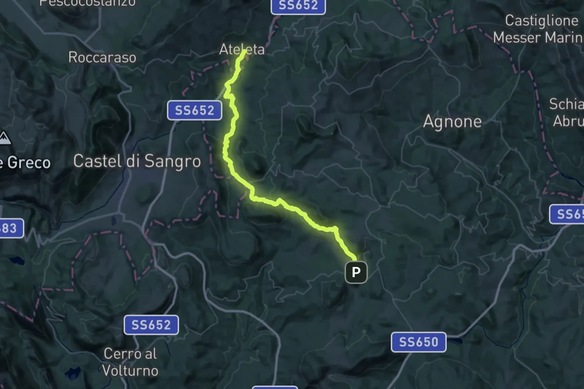
Demanding · Trail
Con le ali ai piedi - 14
25.1 km · ↑ 503 m · 7 h 26 min
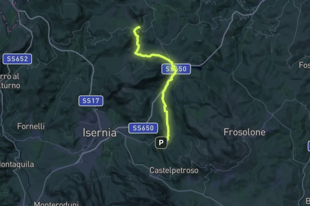
Demanding · Trail
Con le ali ai piedi - 15
21.3 km · ↑ 577 m · 6 h 27 min