Trails in Italy
25,211 hiking trails, each with its route, climb, walking time and grade.
All trails, page 66 of 526
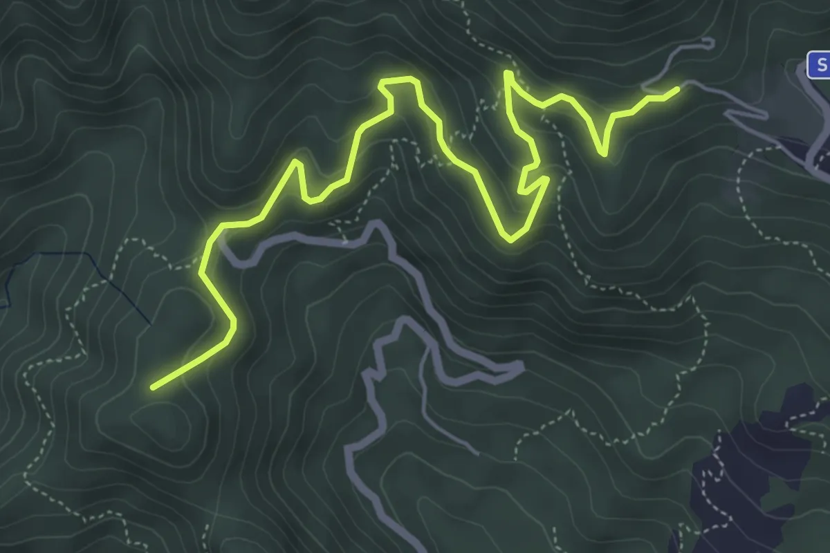
Medium · Summit
Erli - Colle Scravaion
6.7 km · ↑ 360 m · 2 h 21 min
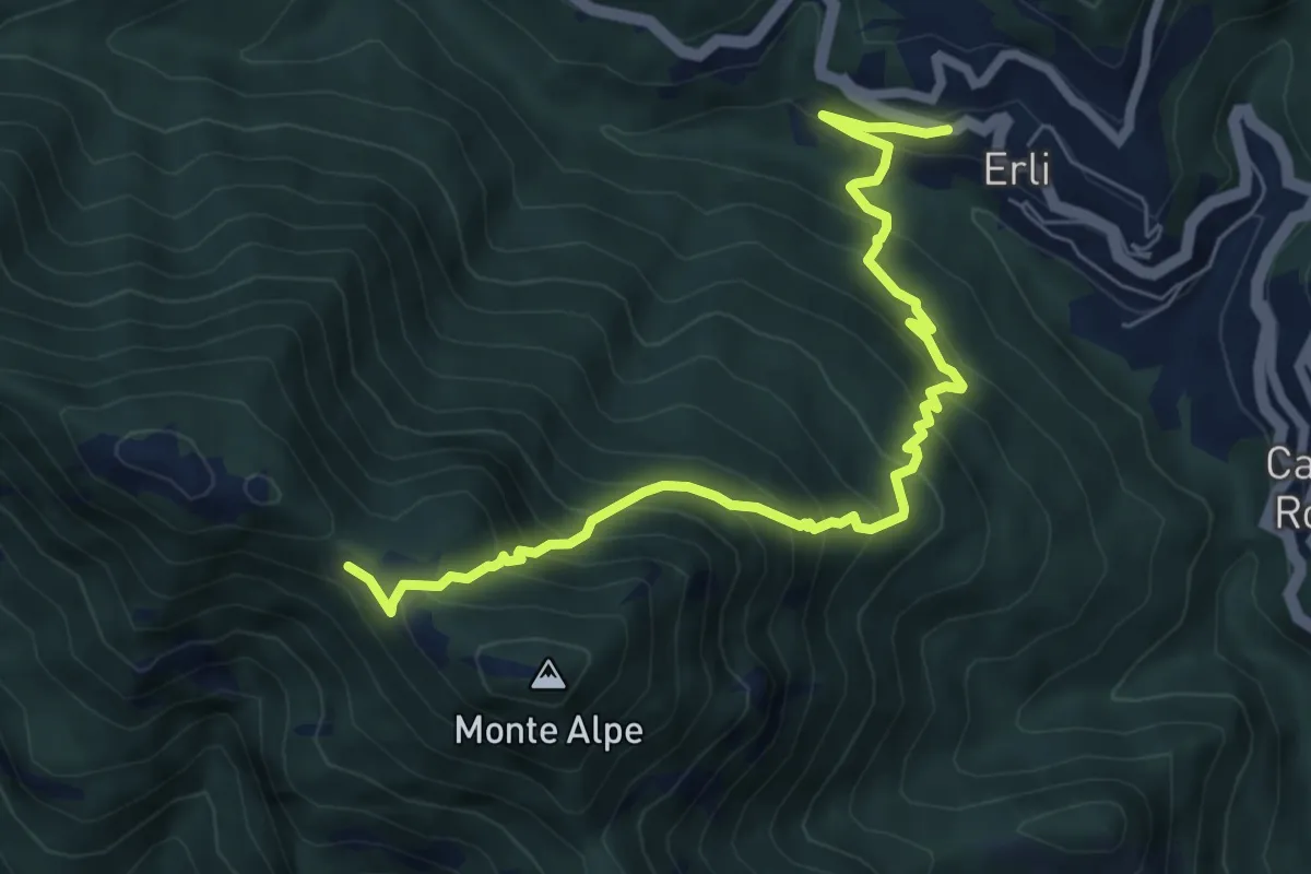
Demanding · Trail
Erli - Sella d'Alpe
7.8 km · ↑ 778 m · 3 h 32 min
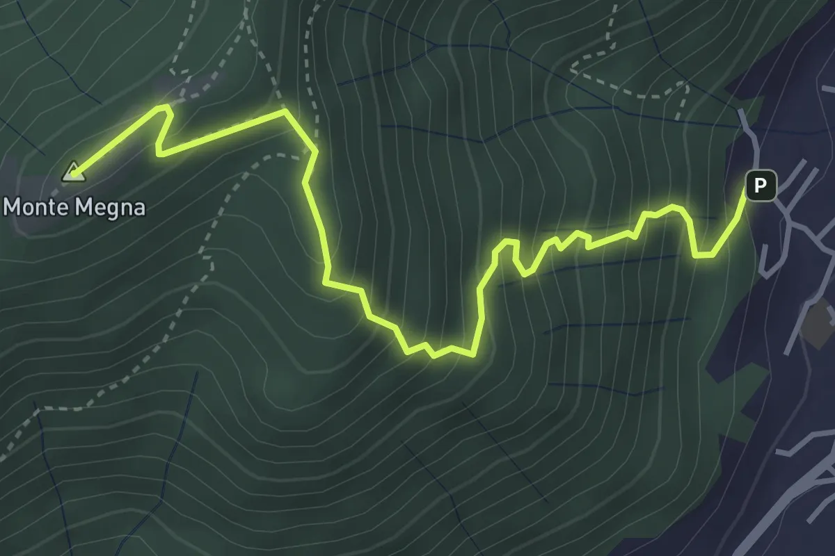
Demanding · Summit
Erta del Giubileo
4.3 km · ↑ 483 m · 2 h 3 min
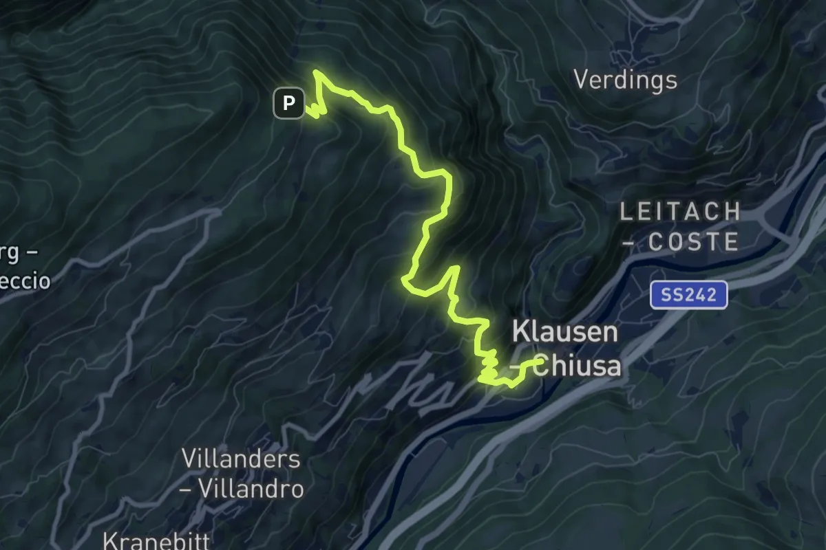
Demanding · Trail
Erzweg
9.8 km · ↑ 825 m · 4 h 6 min
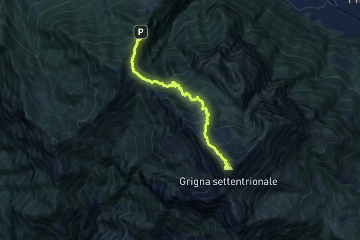
Demanding · Summit
Esino - Rifugio Brioschi
10.7 km · ↑ 1273 m · 5 h 16 min
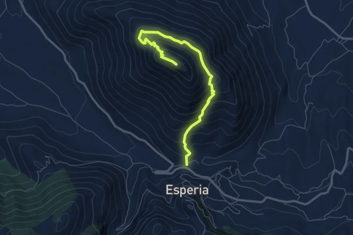
Medium · Trail
Esperia-Monte D'Oro
7.5 km · ↑ 643 m · 3 h 10 min
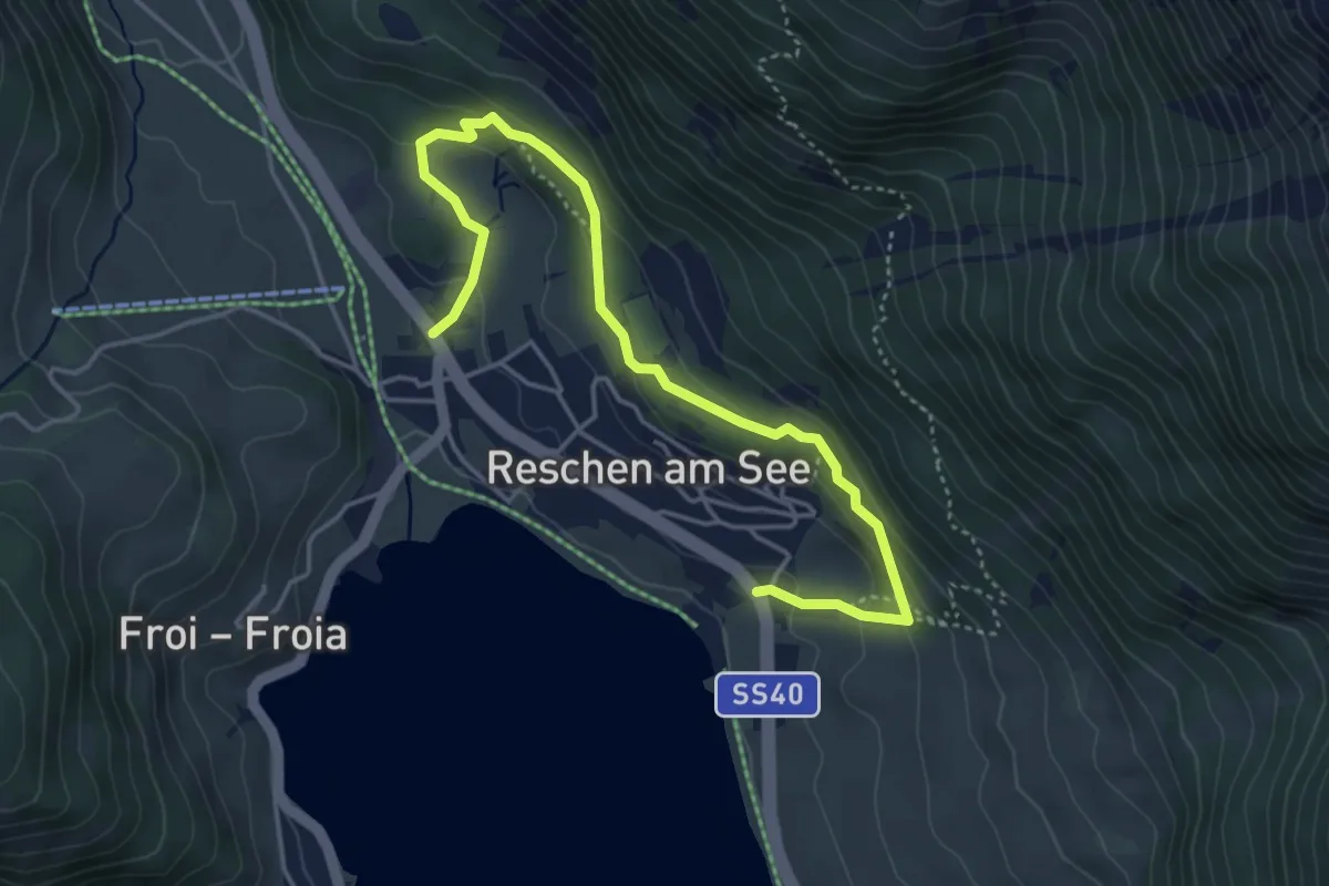
Medium · Trail
Etschquellenweg
4.8 km · ↑ 182 m · 1 h 32 min
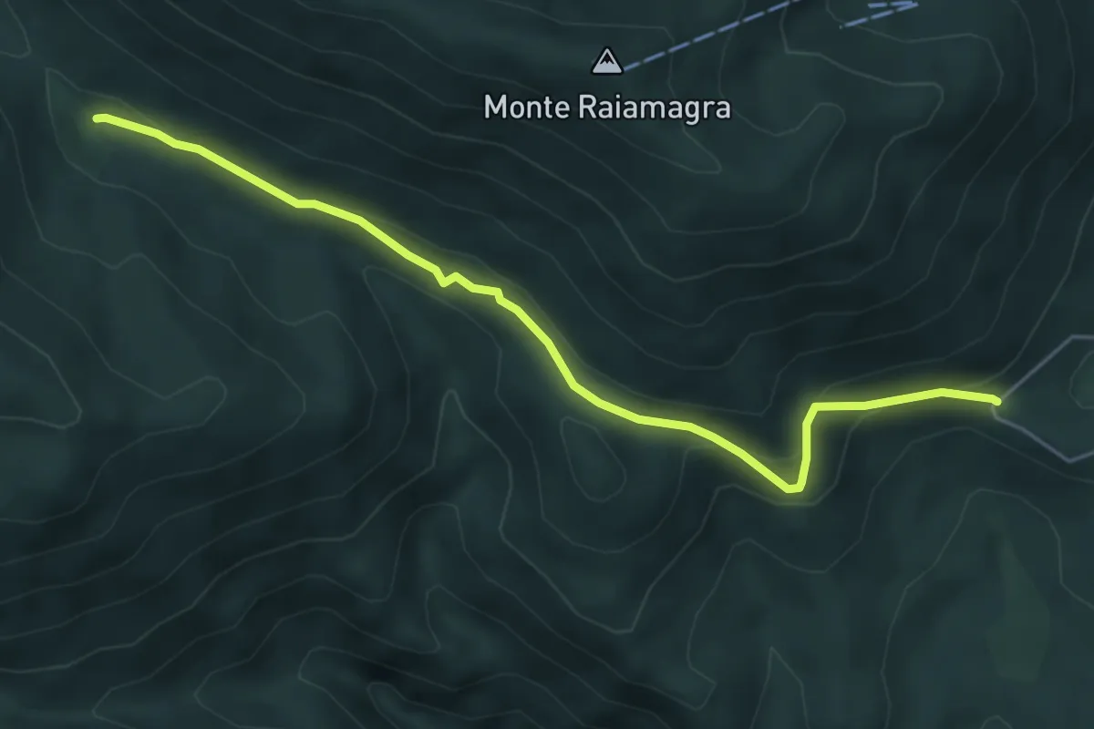
Easy · Trail
European Long distance path E1 - part Italy - Campania
5.9 km · ↑ 245 m · 1 h 56 min
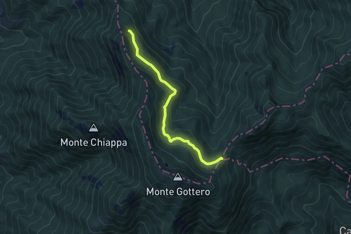
Medium · Trail
European Long distance path E1 - part Italy - Liguria
6.2 km · ↑ 270 m · 2 h 3 min
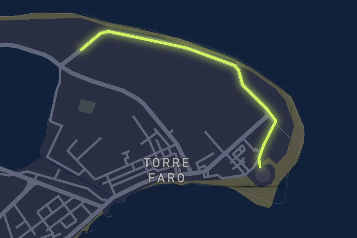
Easy · Trail
European Long distance path E1 - part Italy - Sicily
2.6 km · ↑ 4 m · 37 min
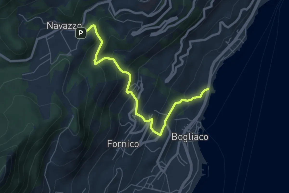
Medium · Trail
Ex caserma Bogliaco (Gargnano) - Navazzo (Gargnano)
5.6 km · ↑ 407 m · 2 h 12 min
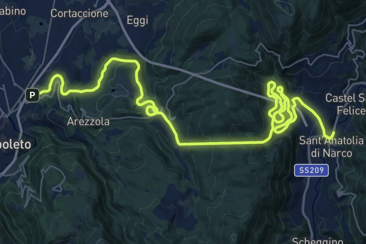
Demanding · Trail
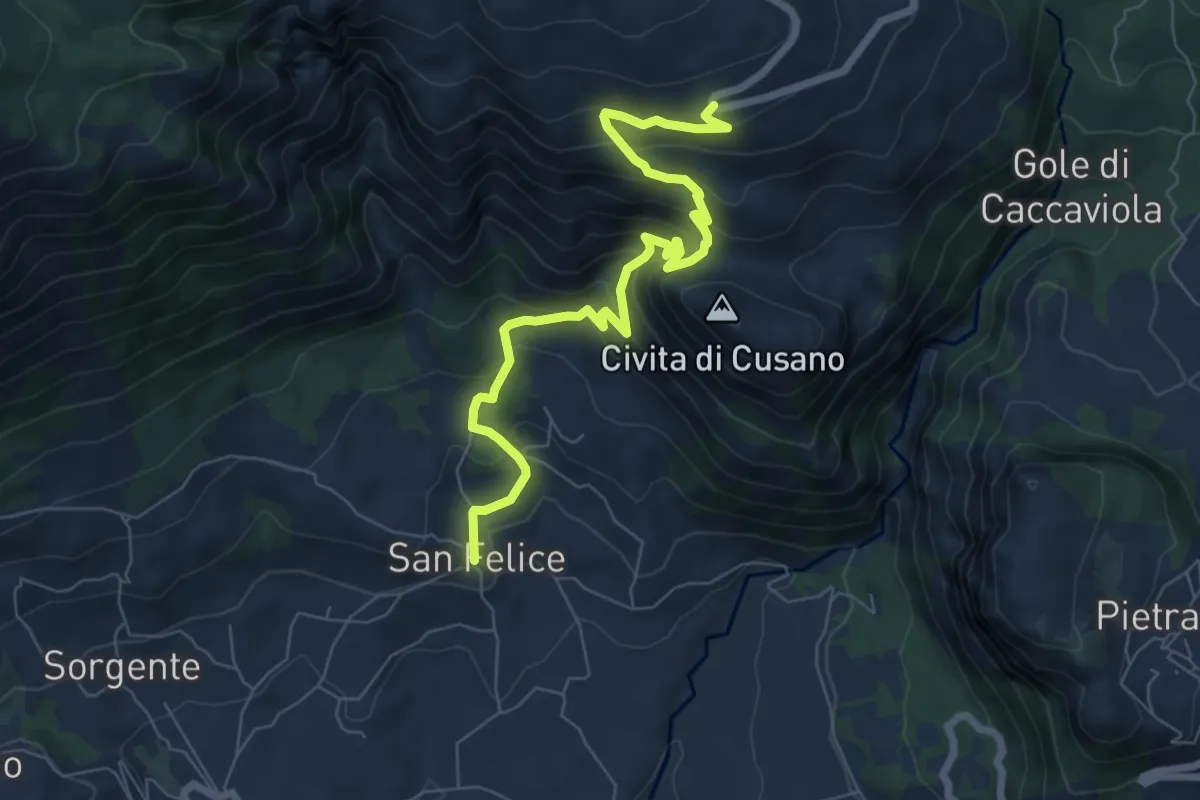
Ex Ferrovia Spoleto - Norcia
18.0 km · ↑ 1038 m · 6 h 46 min
Medium · Trail
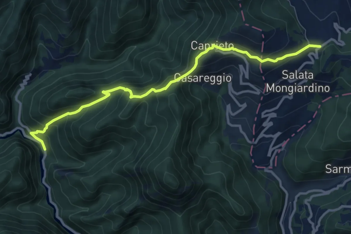
Ex Miniera Bauxite
8.1 km · ↑ 617 m · 3 h 15 min
Medium · Trail
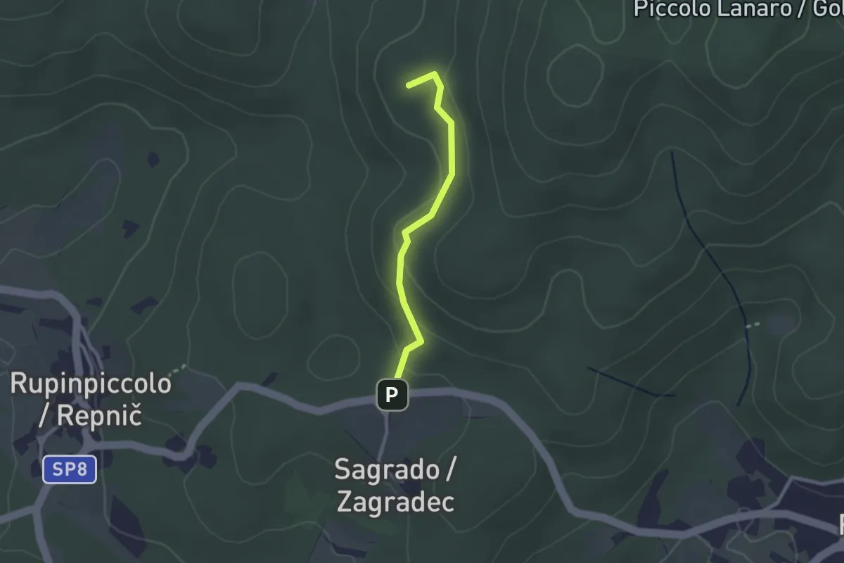
Ex Osteria Castello della Pietra - Caprieto - Passo di Salata
8.7 km · ↑ 548 m · 3 h 15 min
Easy · Summit
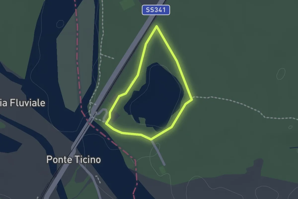
ex Sentiero CAI n. 5A
2.1 km · ↑ 71 m · 39 min
Easy · Trail
Ex Vita Mayer
1.2 km · ↑ 0 m · 19 min
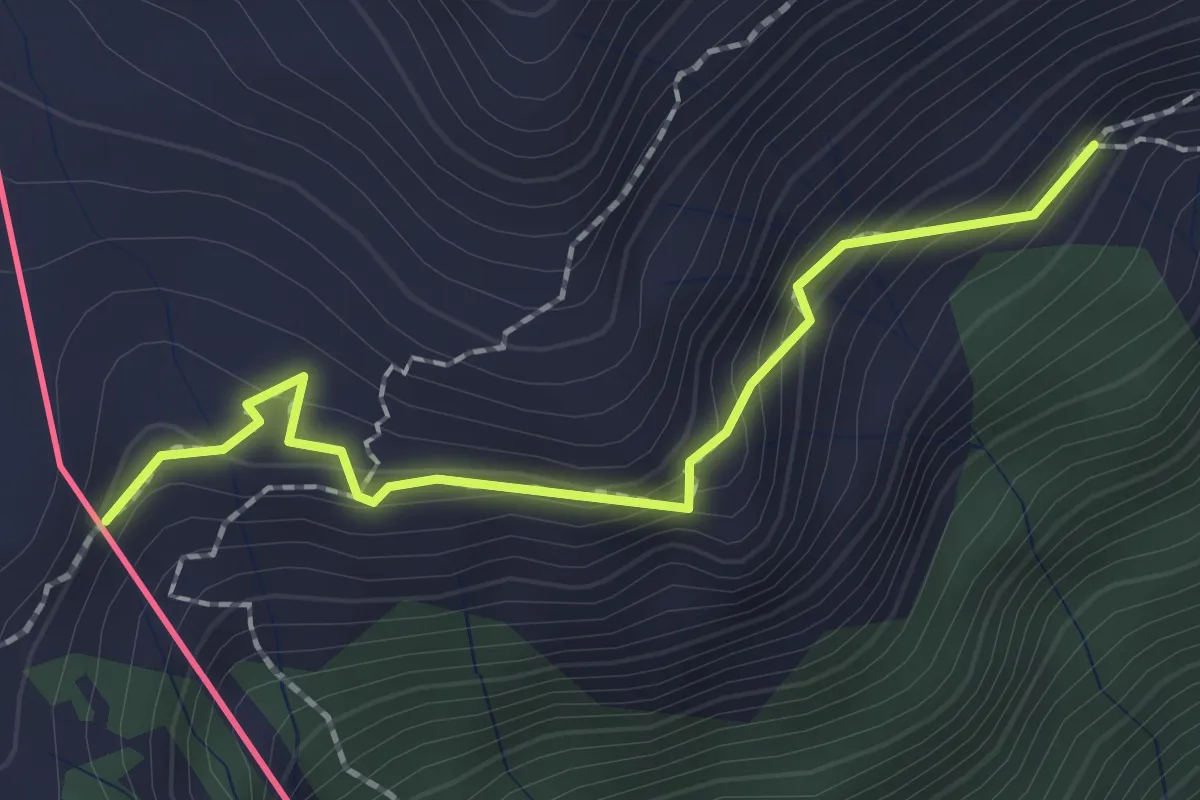
Demanding · Trail
F00a - Varzo - Bivio F32
2.0 km · ↑ 168 m · 50 min
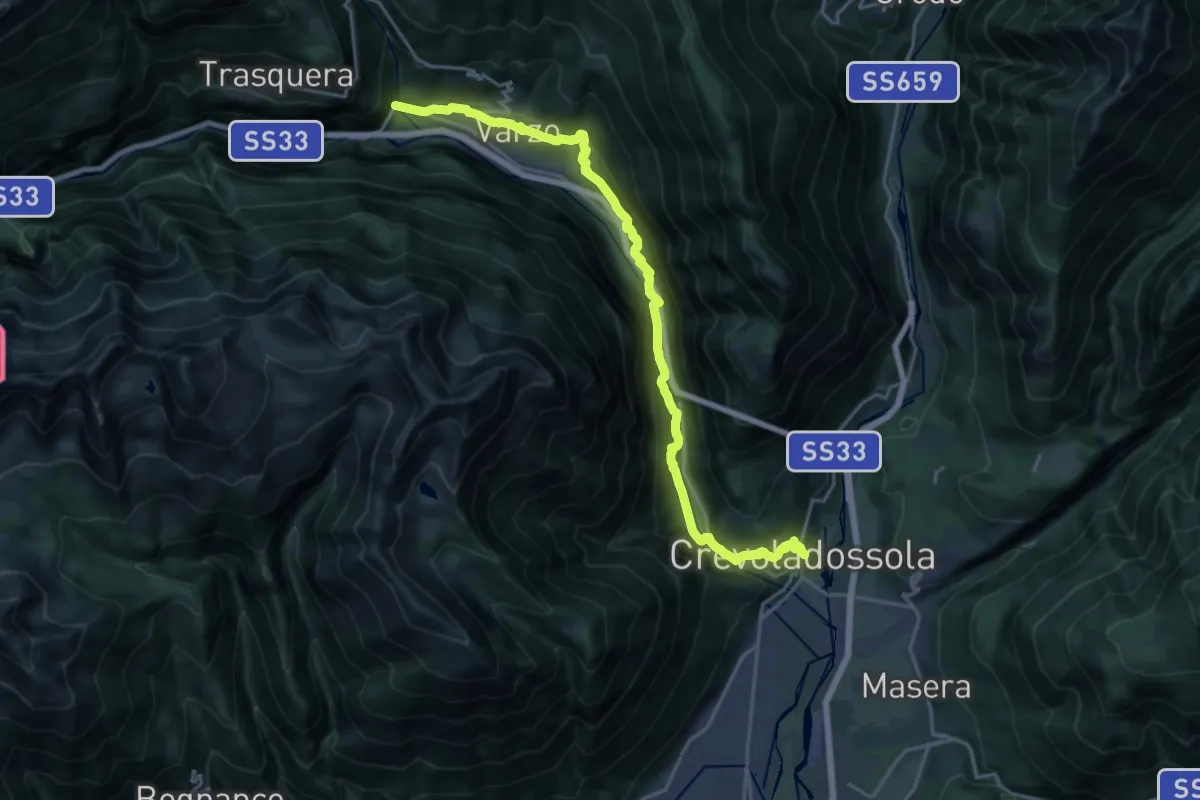
Expert · Trail
F00 - Crevoladossola Municipio - Gondo
22.4 km · ↑ 898 m · 7 h 14 min
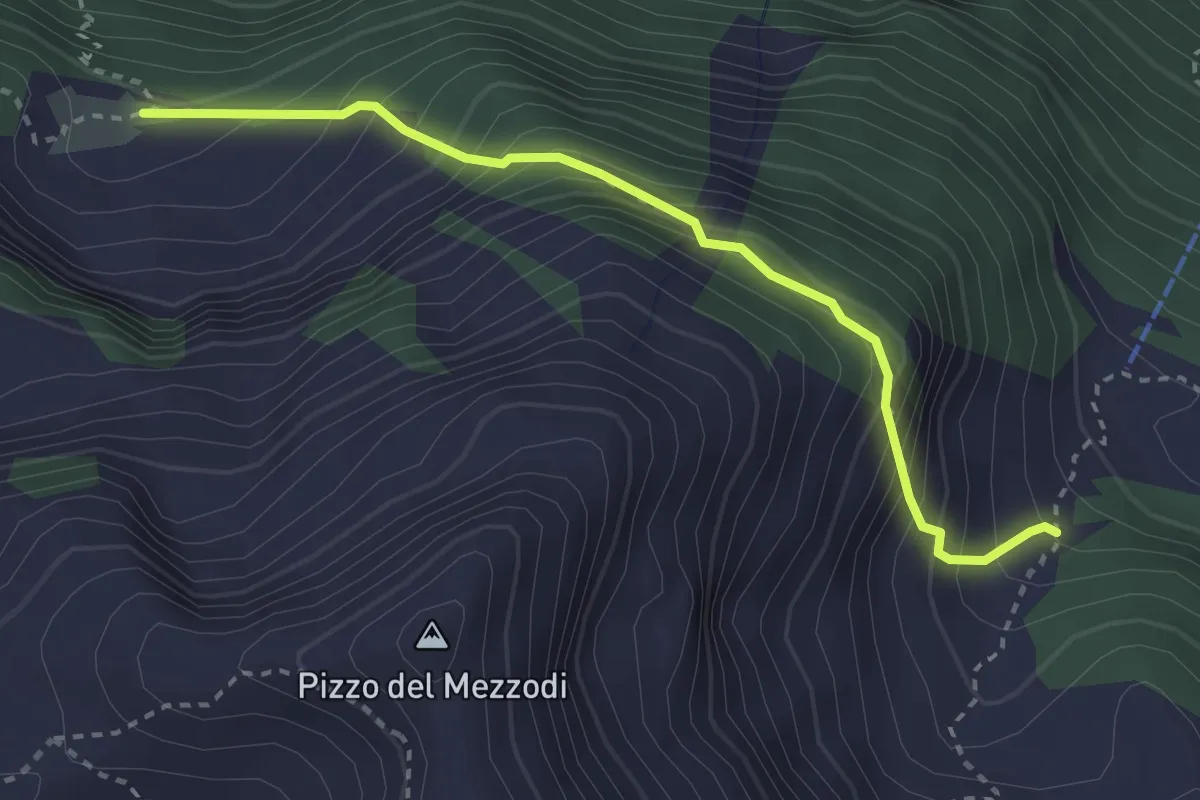
Medium · Cabin
F01a - Alpe Lorino - Alpe Albiona
3.1 km · ↑ 415 m · 1 h 38 min
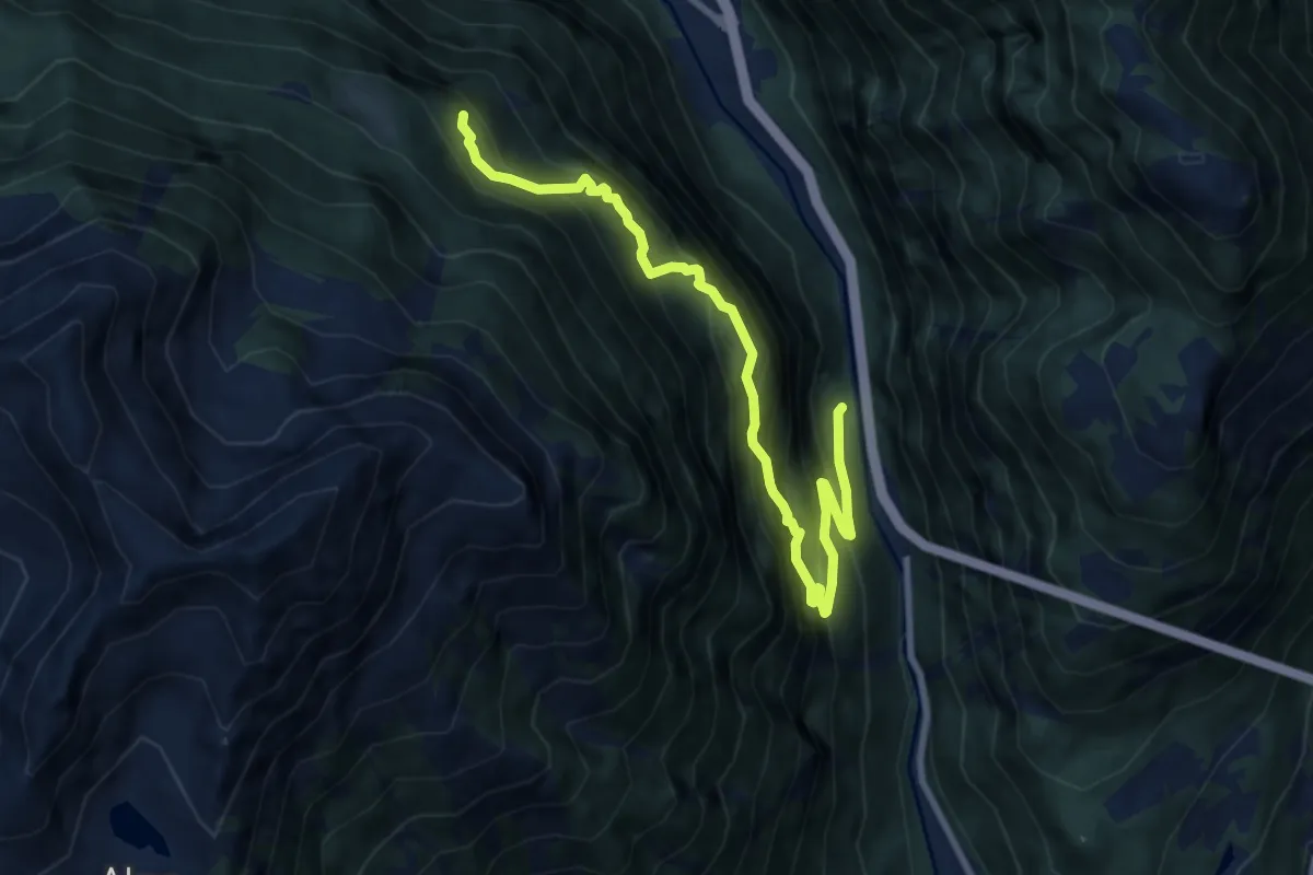
Demanding · Trail
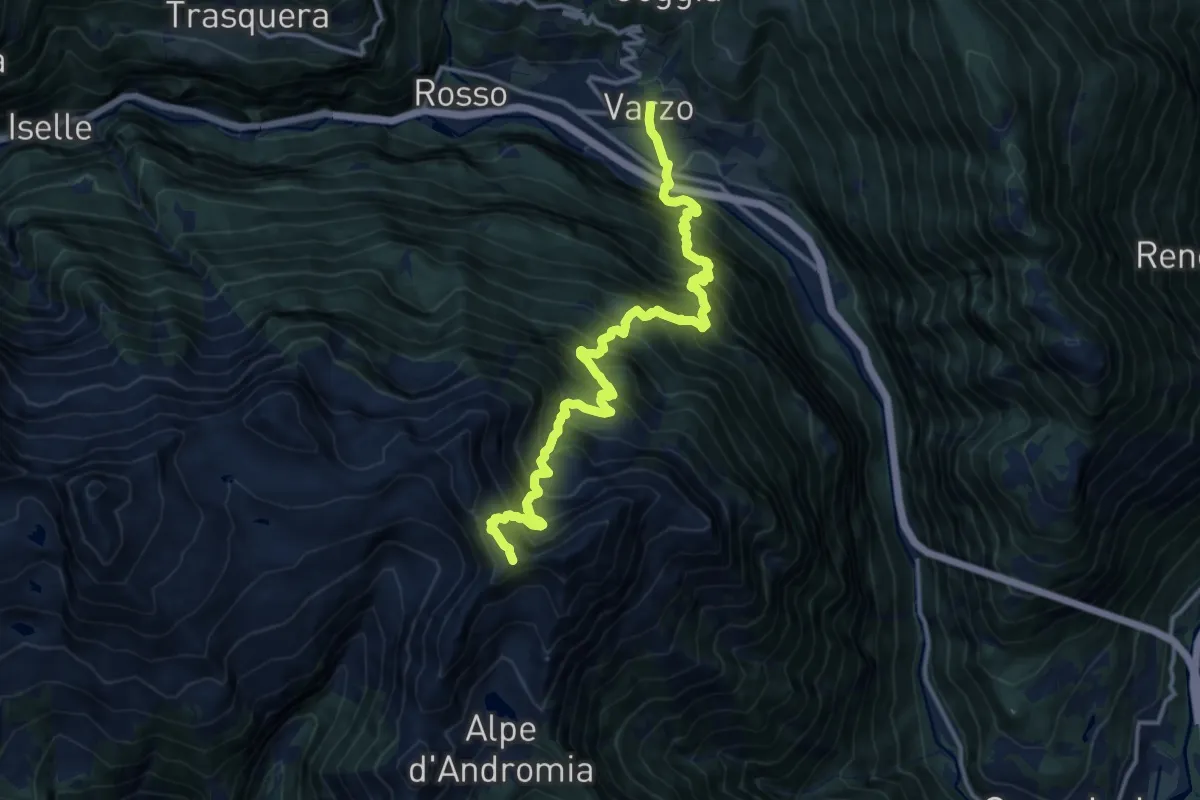
F01b - S. Giovanni - Alpe Bogo
9.7 km · ↑ 1177 m · 4 h 50 min
Demanding · Cabin
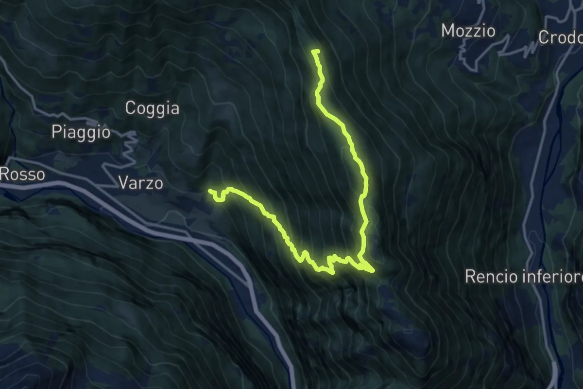
F01 - Varzo - Passo Pian Pumper
7.4 km · ↑ 1934 m · 5 h 9 min
Demanding · Summit
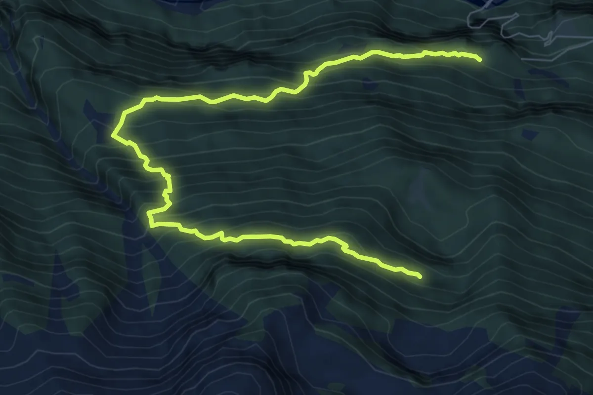
F02 - Varzo - Alpe Solcio
13.5 km · ↑ 1341 m · 6 h 6 min
Demanding · Trail
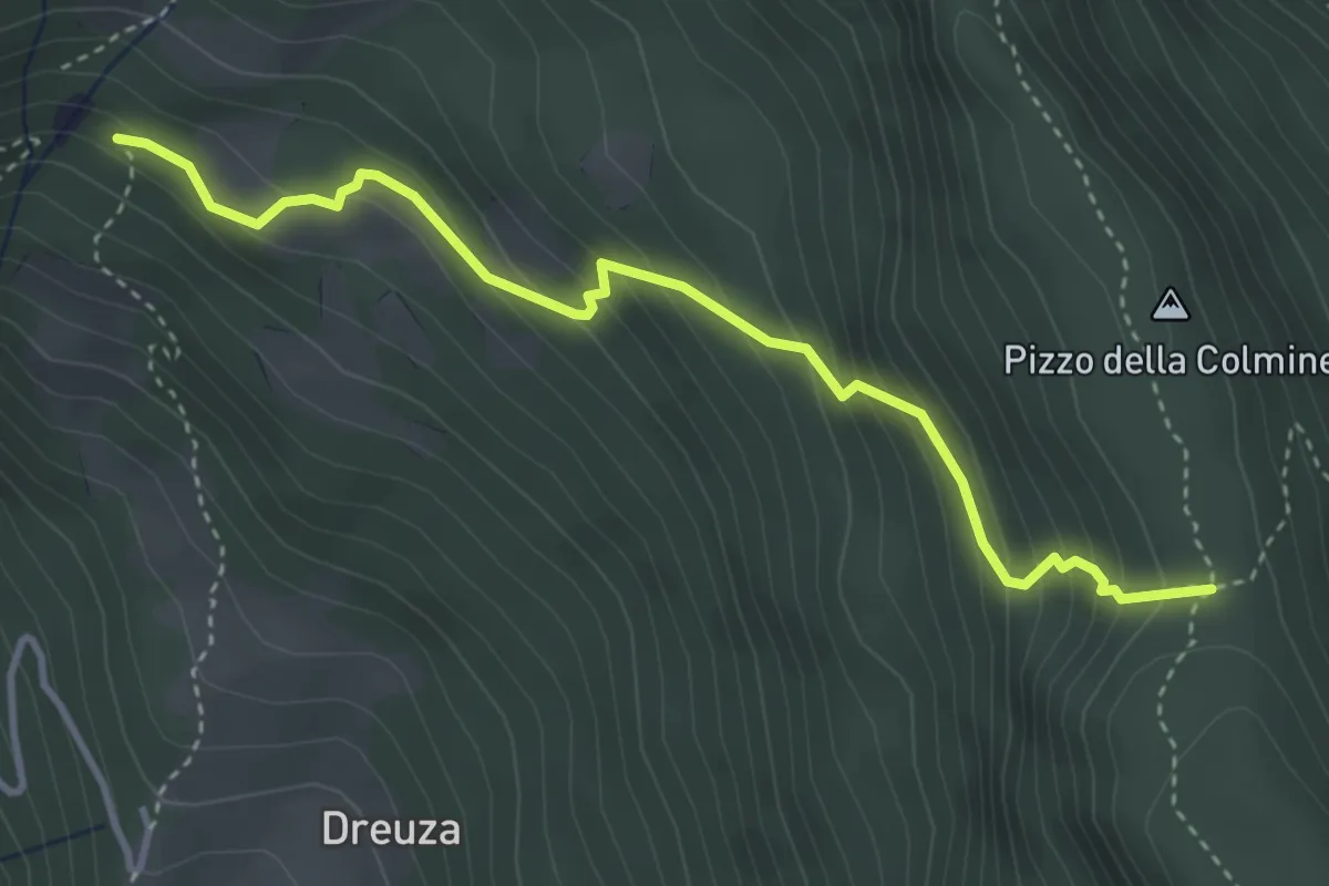
F03 - Alpe Salviggia - Lorino
9.8 km · ↑ 1178 m · 4 h 52 min
Medium · Trail
F04 - Bivio F06 - Passodella Colmine
3.9 km · ↑ 380 m · 1 h 44 min
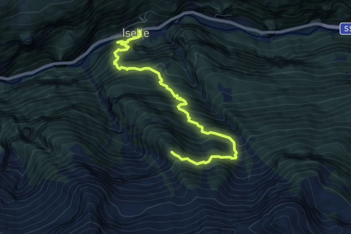
Demanding · Trail
F05 - Iselle - Alpe Loio
8.6 km · ↑ 1225 m · 4 h 41 min
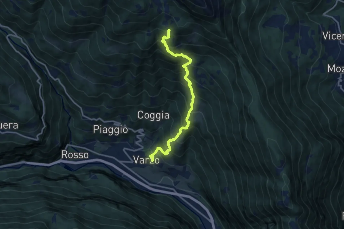
Demanding · Trail
F06 - Varzo - Alpe Solcio
9.1 km · ↑ 1056 m · 4 h 26 min
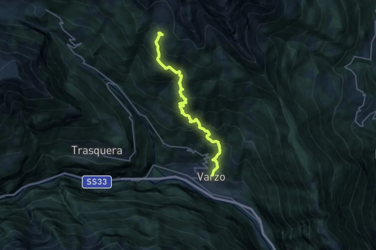
Demanding · Trail
F08 - Varzo - Alpe Coatè
12.9 km · ↑ 1332 m · 5 h 56 min
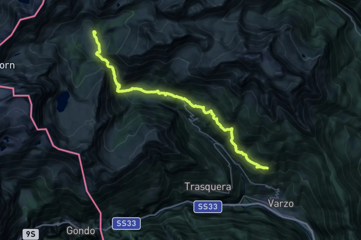
Demanding · Cabin
F10 - Alpe Nava - Alpe Veglia
13.4 km · ↑ 1201 m · 5 h 37 min
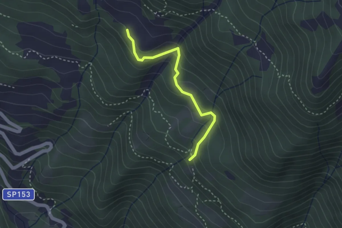
Easy · Trail
F12a - bivio F 10 - Dorcia di dentro
2.6 km · ↑ 165 m · 58 min
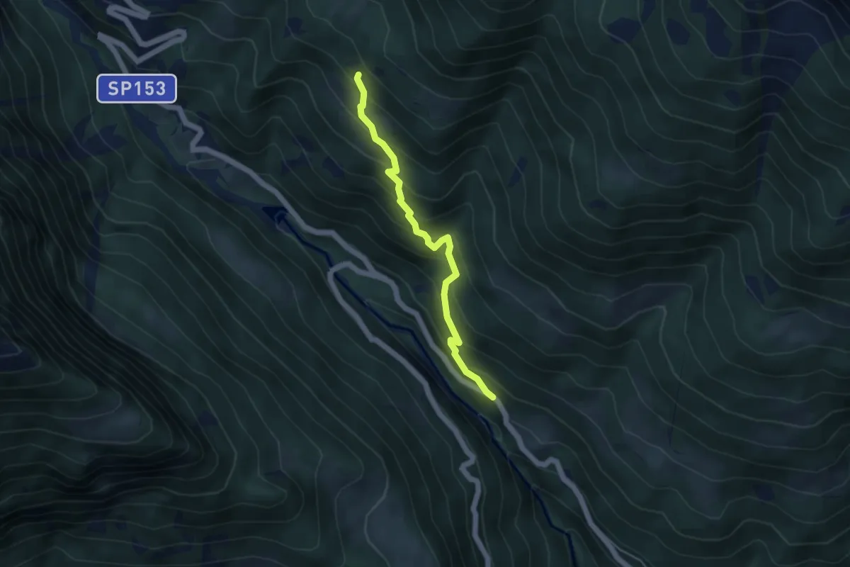
Medium · Trail
F12 da Maulone sp per S. Domenico 957 mt a bivio F10 1400 mt
4.2 km · ↑ 434 m · 1 h 56 min
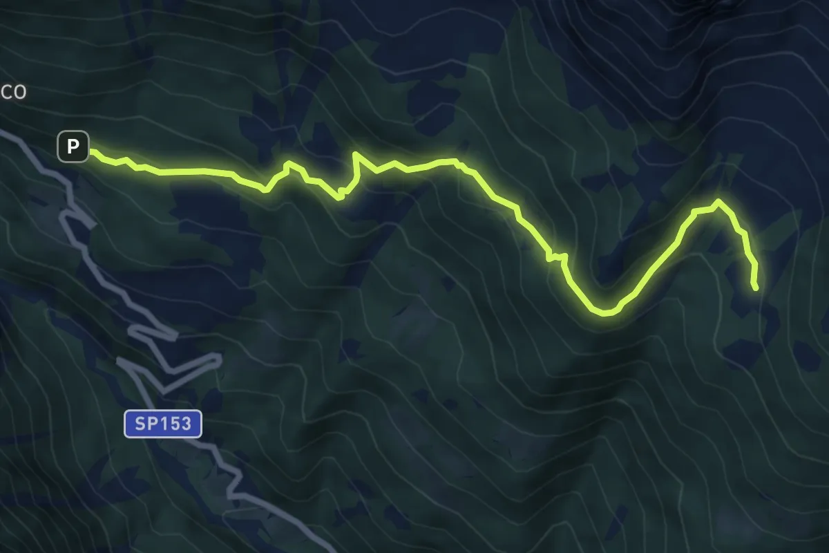
Medium · Trail
F14 - San Domenico - Alpe Coatè
7.9 km · ↑ 491 m · 2 h 55 min
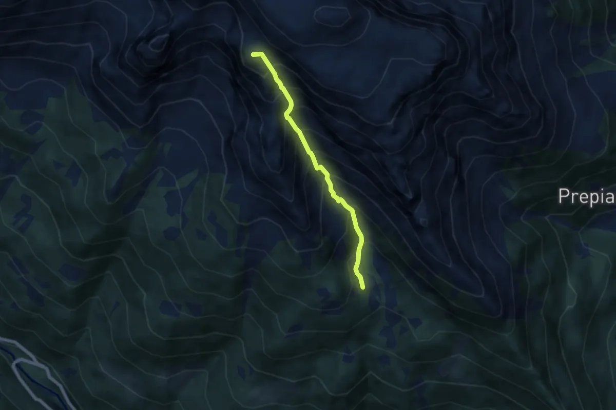
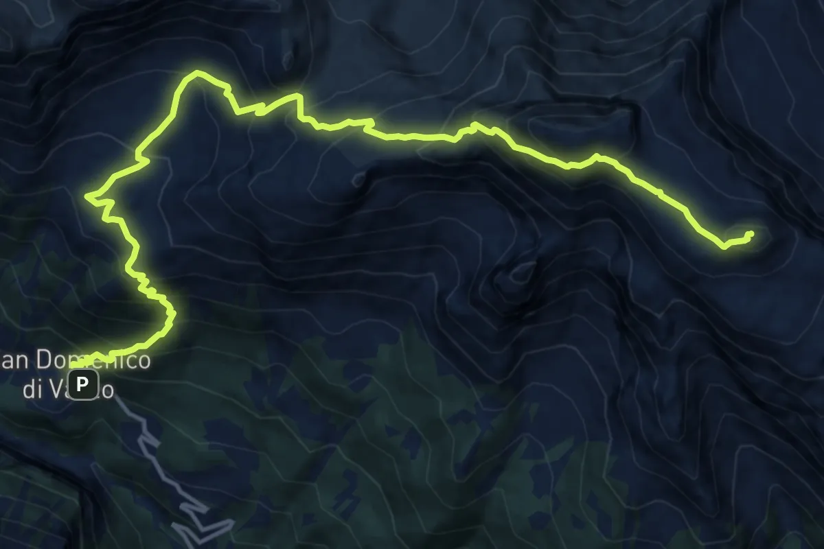
Demanding · Summit
F16a - Solcio - Bivacco G. Leoni
5.1 km · ↑ 801 m · 2 h 57 min
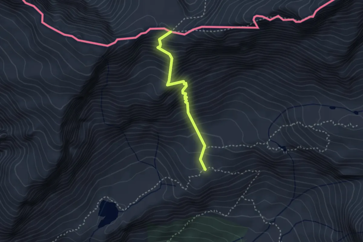
Demanding · Summit
F16 - San Domenico - Monte Cistella
17.5 km · ↑ 1691 m · 7 h 48 min
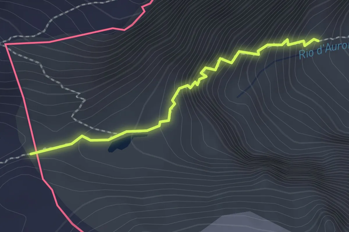
Demanding · Trail
F22 - Alpe Veglia - Lago Bianco - Passo di Boccareccio
2.6 km · ↑ 492 m · 1 h 41 min
Expert · Trail
F28 - Alpe Veglia - Bocchetta di Aurona
1.9 km · ↑ 292 m · 1 h 5 min
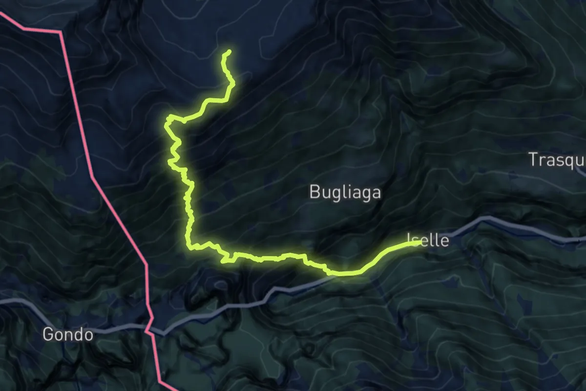
Demanding · Trail
F32 - Iselle - Alpe Pianezzoni
13.8 km · ↑ 1835 m · 7 h 14 min
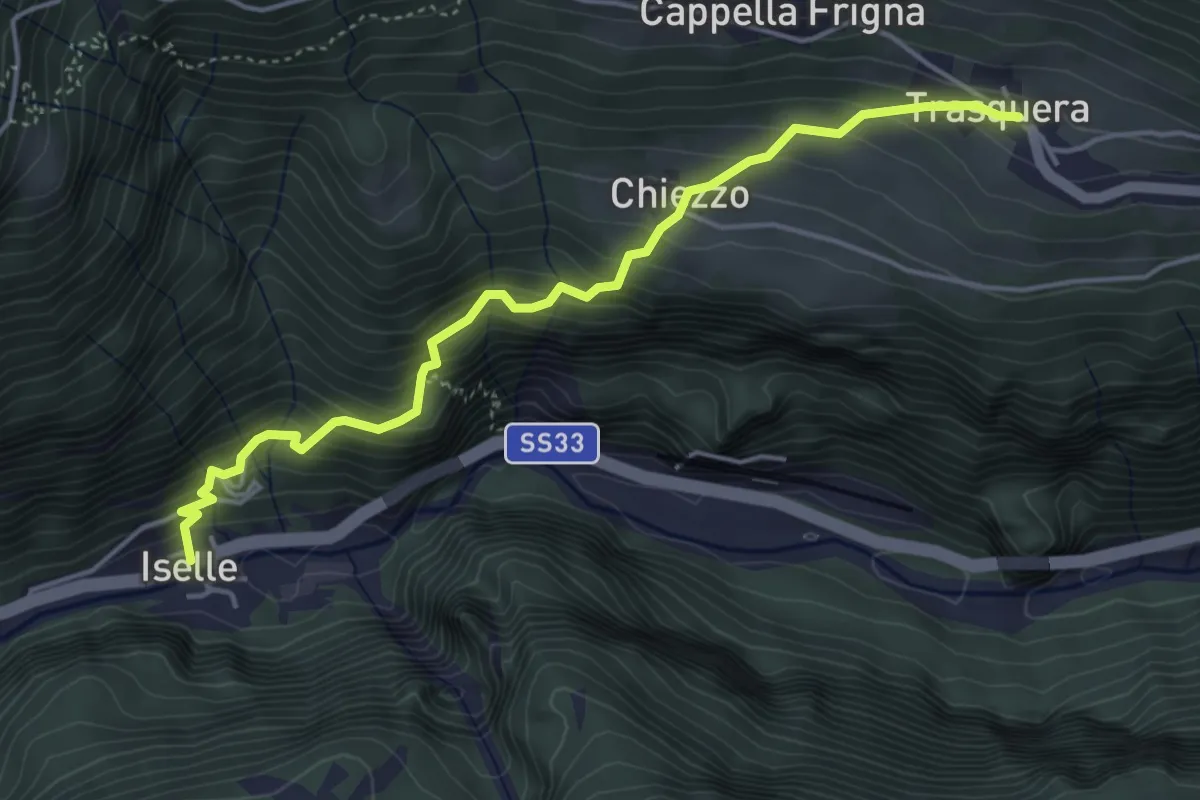
Medium · Trail
F34 - Iselle - Trasquera
4.7 km · ↑ 494 m · 2 h 10 min
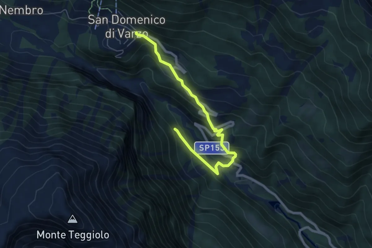
Medium · Trail
F36b - Gebbo - San Domenico
6.0 km · ↑ 455 m · 2 h 24 min
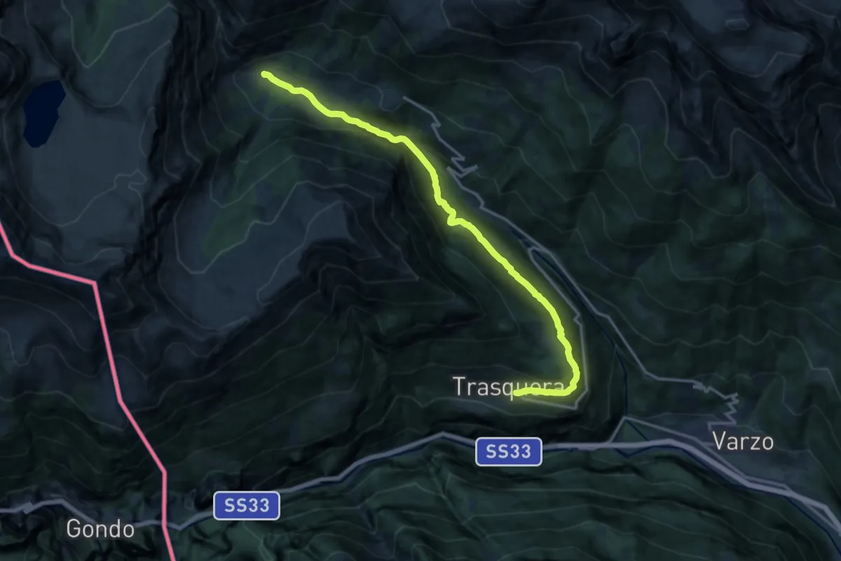
Demanding · Trail
F36 - Trasquera - Ponte Campo
15.2 km · ↑ 811 m · 5 h 20 min
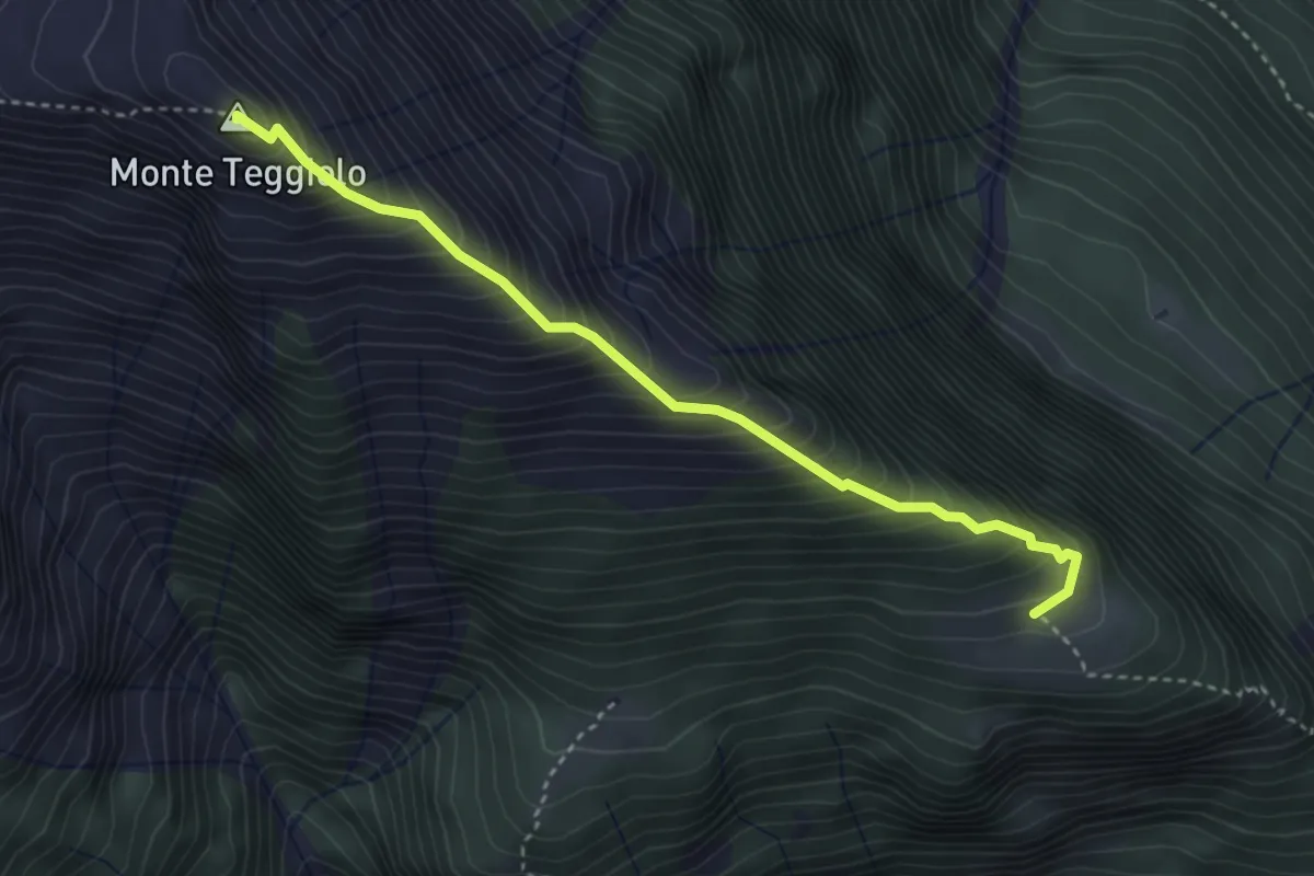
Demanding · Summit
F38a sentiero Filosi Agro Fuori 1787 Monte Teggiolo 2394
3.6 km · ↑ 620 m · 2 h 12 min
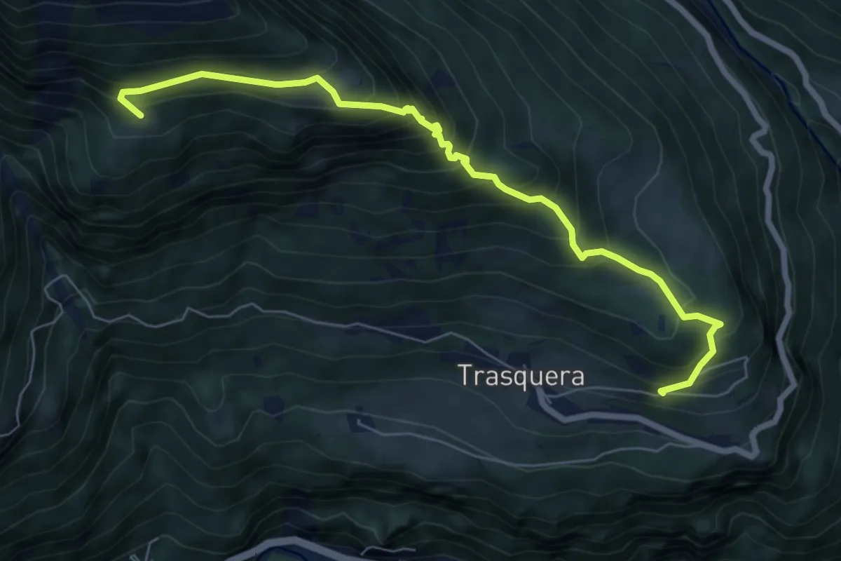
Medium · Trail
F38 - Trasquera - Agro Dentro
7.1 km · ↑ 746 m · 3 h 17 min
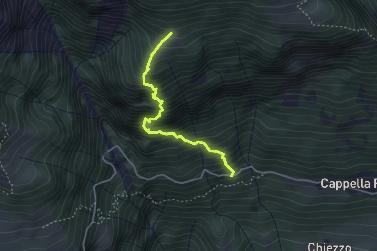
Medium · Trail
F40 - bivio F00 - Alpe Agro Dentro
2.9 km · ↑ 591 m · 1 h 59 min
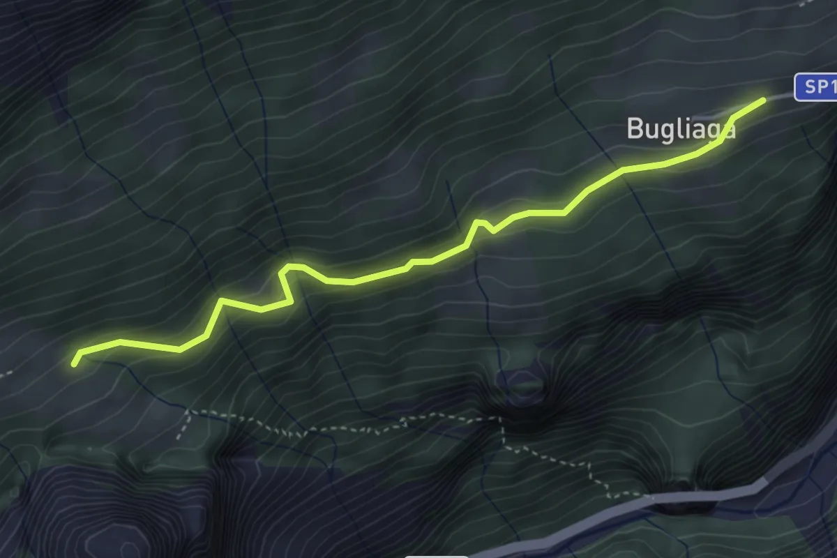
Easy · Trail
F42 - Bugliaga - Bivio F32
4.2 km · ↑ 262 m · 1 h 33 min
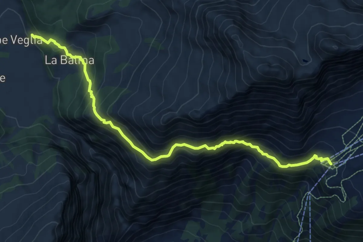
Demanding · Cabin
F50 - Alpe Veglia - Ciamporino
10.0 km · ↑ 805 m · 4 h 6 min
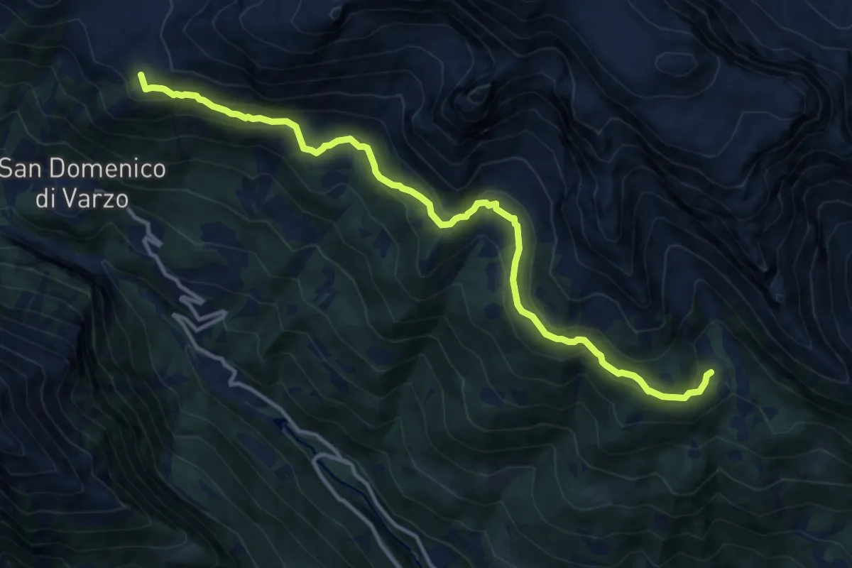
Medium · Cabin
F50b - Ciamporino - Alpe Solcio
12.8 km · ↑ 708 m · 4 h 33 min
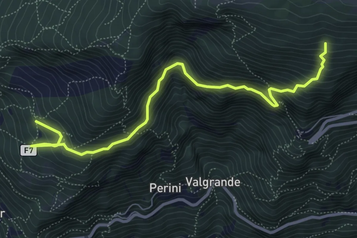
Medium · Trail
F7
7.2 km · ↑ 773 m · 3 h 23 min
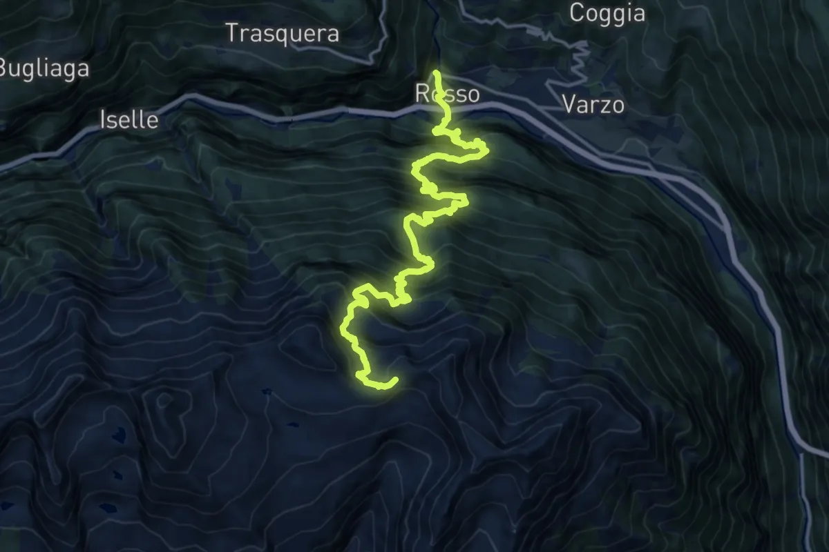
Demanding · Trail
F95 - Varzo - Passo di Variola
8.7 km · ↑ 1819 m · 5 h 18 min
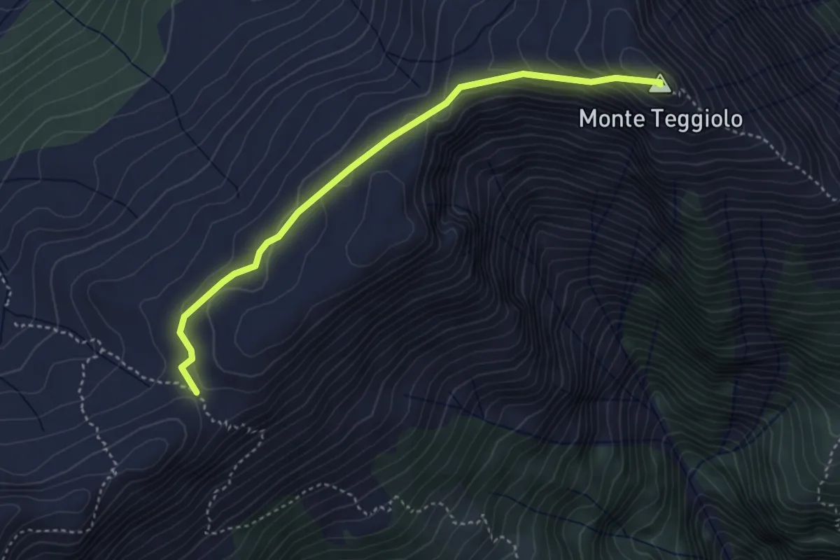
Medium · Summit
F97a - Passo delle Possette - Monte Teggiolo
3.9 km · ↑ 209 m · 1 h 23 min