Trails in Italy
25,211 hiking trails, each with its route, climb, walking time and grade.
All trails, page 84 of 526
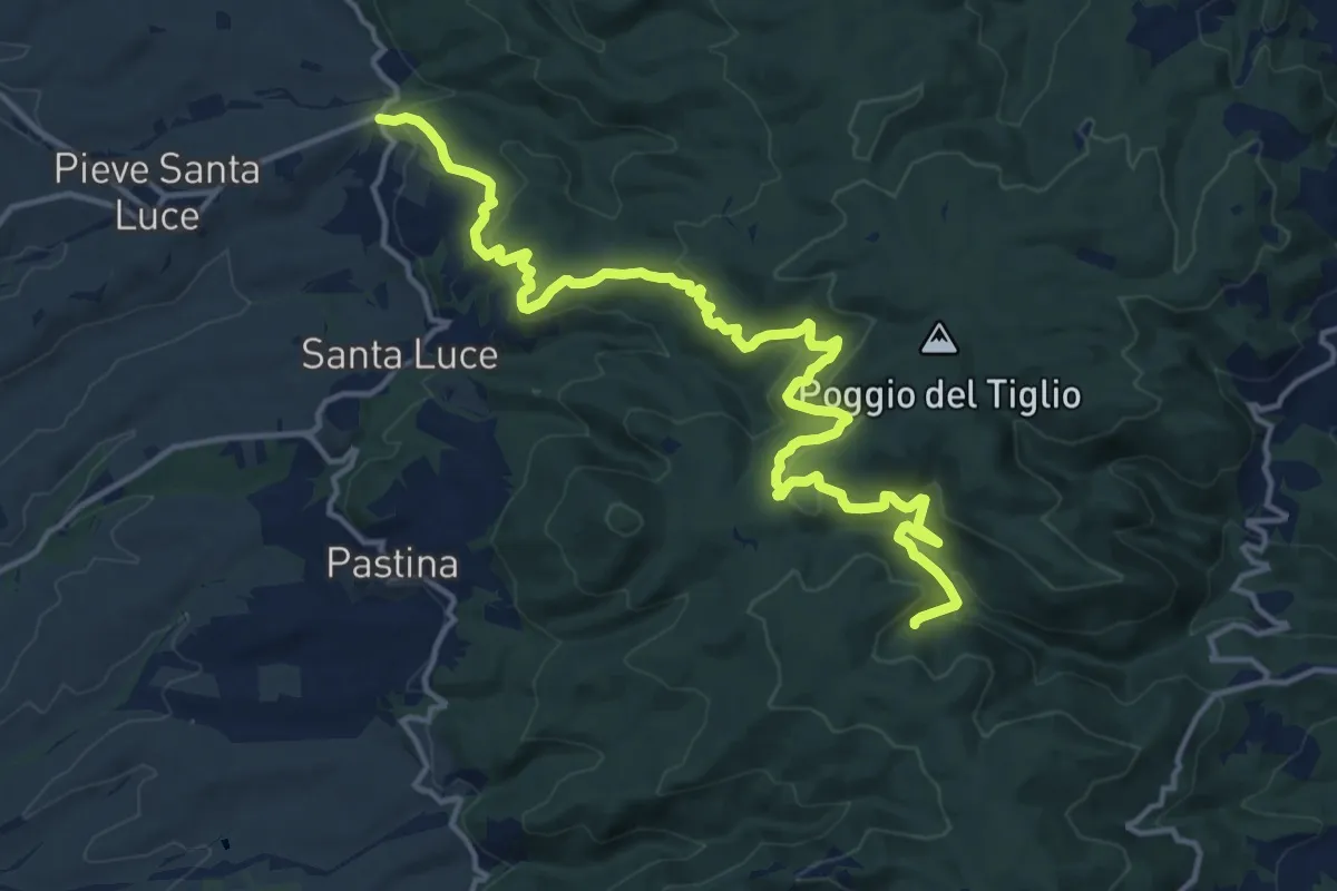
Demanding · Trail
Il Crocino – Botro delle Prunicce
18.5 km · ↑ 771 m · 6 h 3 min
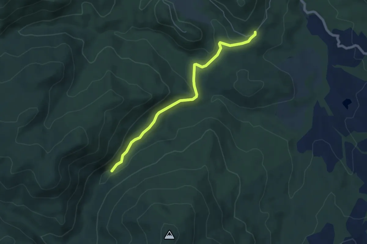
Easy · Trail
Il Ghiaccio-Renzano
5.5 km · ↑ 97 m · 1 h 31 min
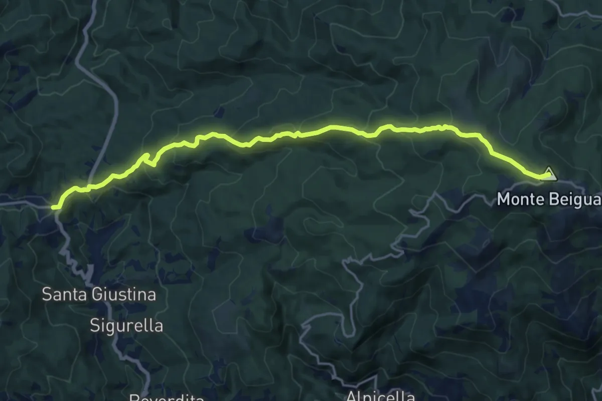
Demanding · Summit
Il Giovo - Prato Rotondo
17.6 km · ↑ 839 m · 5 h 59 min
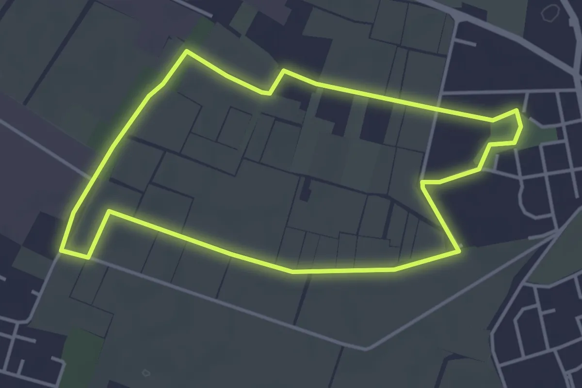
Easy · Trail
Il giro della Cavallera
3.8 km · ↑ 4 m · 58 min
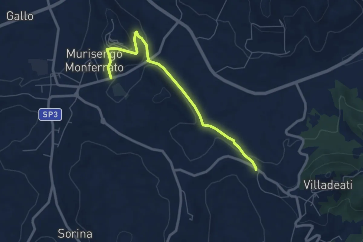
Easy · Trail
Il Monte Lungo
5.7 km · ↑ 173 m · 1 h 43 min
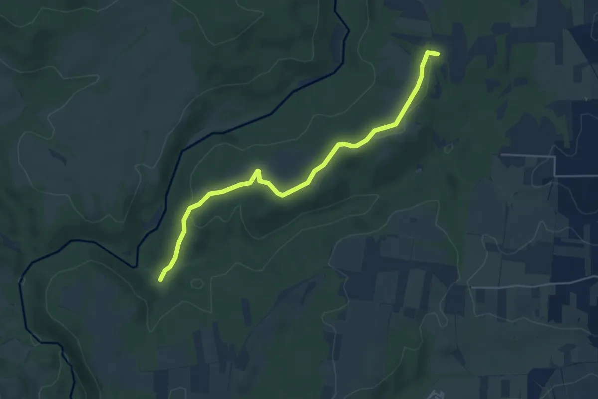
Easy · Trail
Il Pascolaro
5.1 km · ↑ 99 m · 1 h 25 min
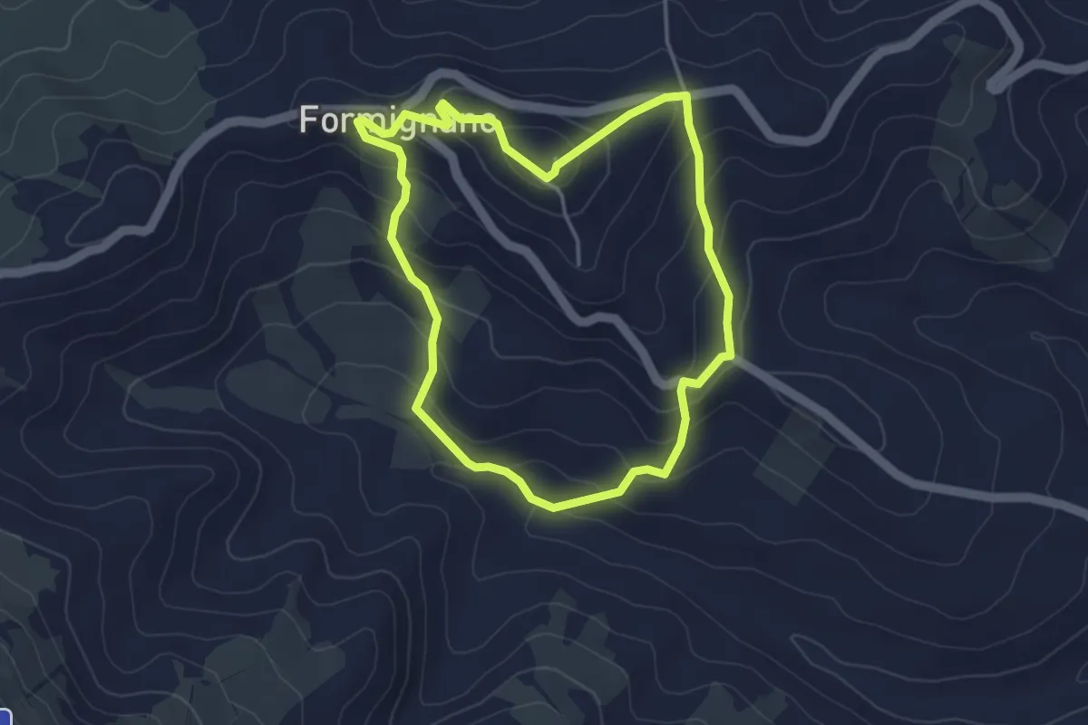
Easy · Trail
Il pensiero dei minatori
3.7 km · ↑ 209 m · 1 h 23 min
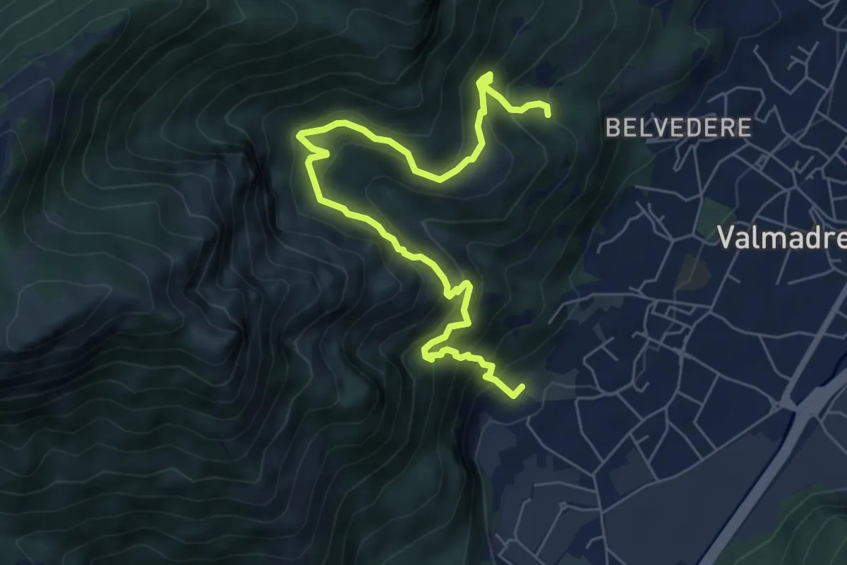
Demanding · Trail
Il percorso dei massi erratici
3.7 km · ↑ 263 m · 1 h 35 min
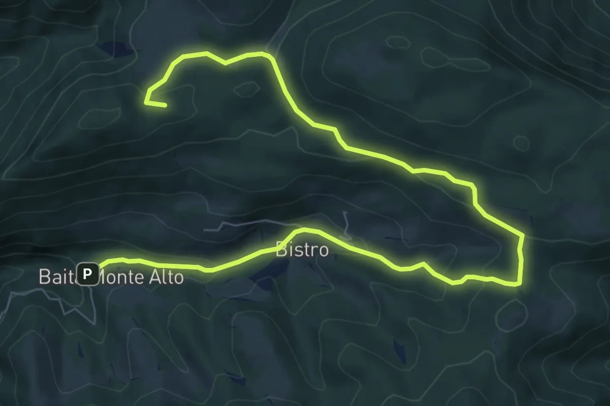
Medium · Summit
Il percorso del bosco
10.7 km · ↑ 385 m · 3 h 22 min
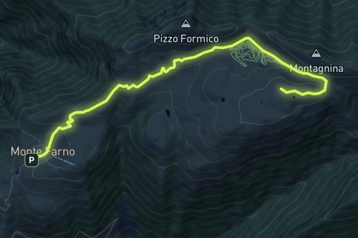
Medium · Cabin
Il percorso delle malghe
10.3 km · ↑ 395 m · 3 h 17 min
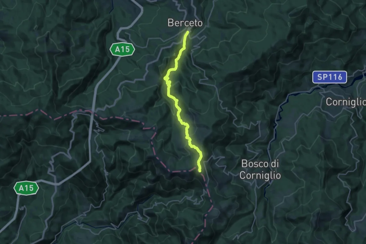
Demanding · Trail
Il Poggio - Lago Bozzo - Monte Borgognone
18.2 km · ↑ 740 m · 5 h 54 min
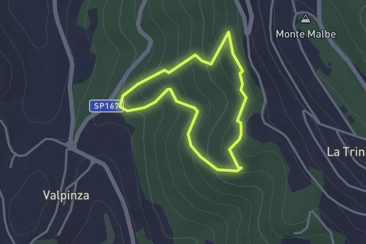
Easy · Trail
Il Poggiolo
2.2 km · ↑ 157 m · 54 min
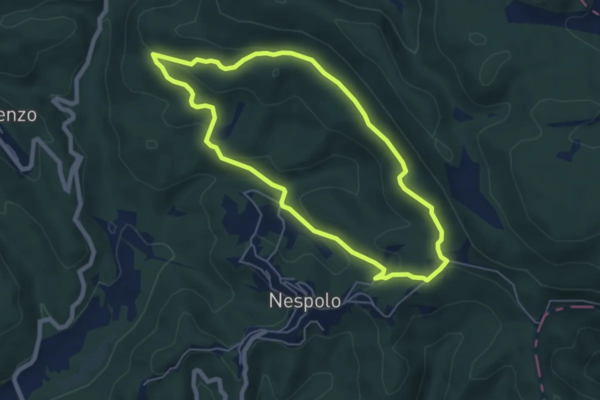
Easy · Trail
Il Rio - Pelliccia - Il Rio
5.0 km · ↑ 166 m · 1 h 36 min
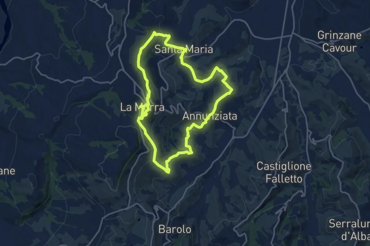
Medium · Trail
Il Sentiero dei Crus del Barolo
12.3 km · ↑ 393 m · 3 h 56 min
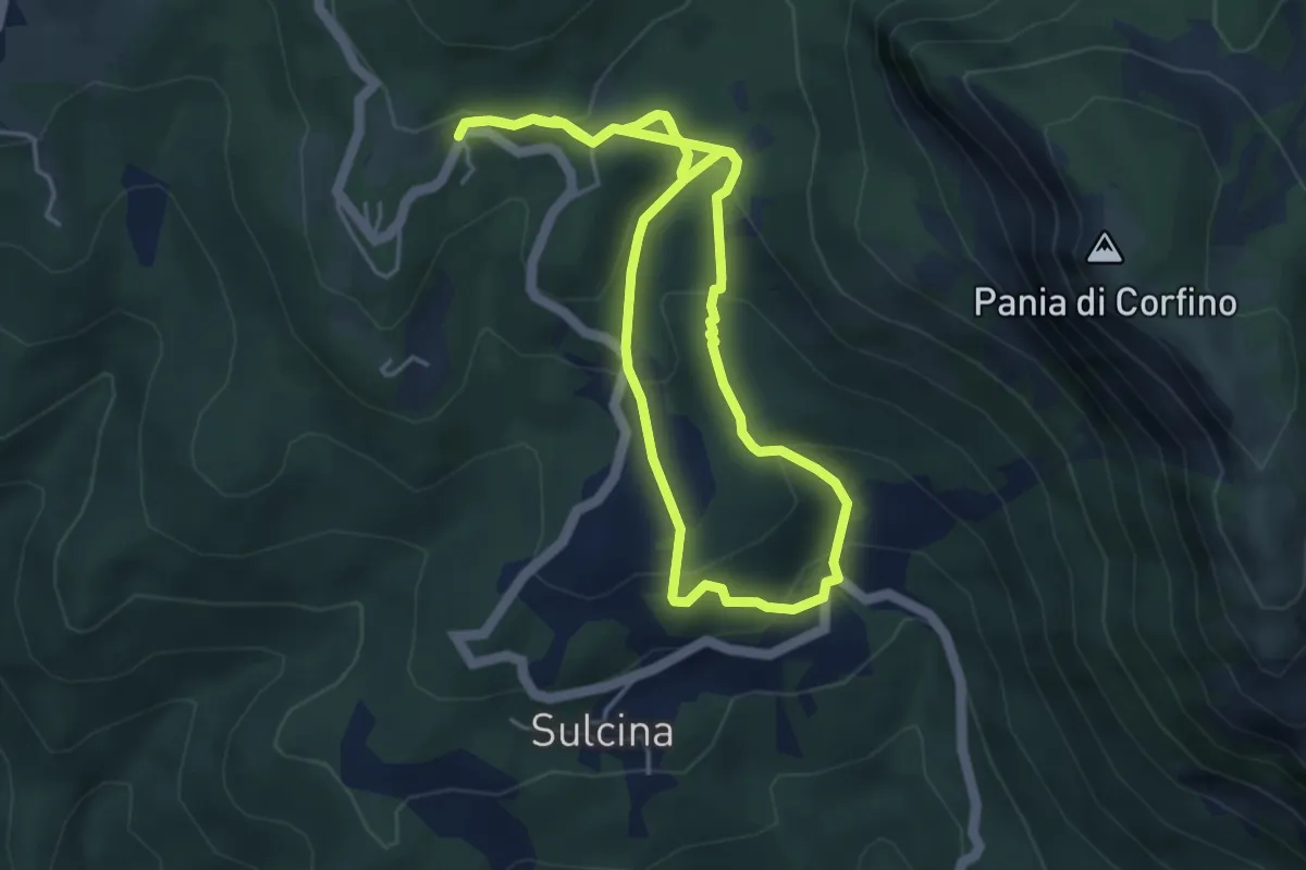
Medium · Cabin
Il sentiero dei Patatai
9.0 km · ↑ 492 m · 3 h 11 min
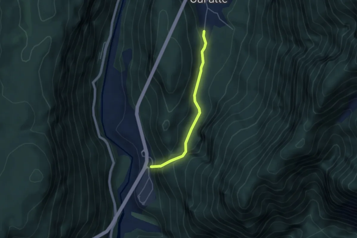
Easy · Trail
Il Sentiero dei Suoni
3.5 km · ↑ 220 m · 1 h 18 min
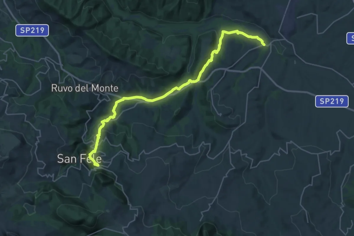
Medium · Trail
Il Sentiero dei Torrenti della Vitalba
13.7 km · ↑ 161 m · 4 h
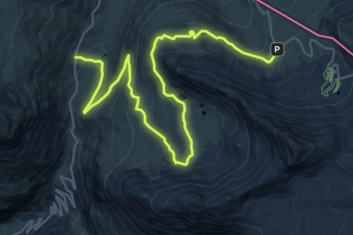
Demanding · Trail
Il Sentiero del Cambiamento Climatico
7.0 km · ↑ 164 m · 2 h 13 min
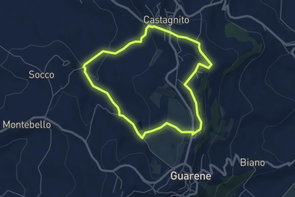
Easy · Trail
Il Sentiero dell'Acino
4.8 km · ↑ 149 m · 1 h 31 min
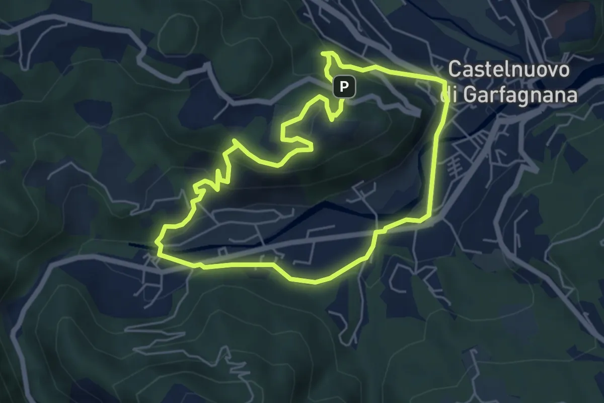
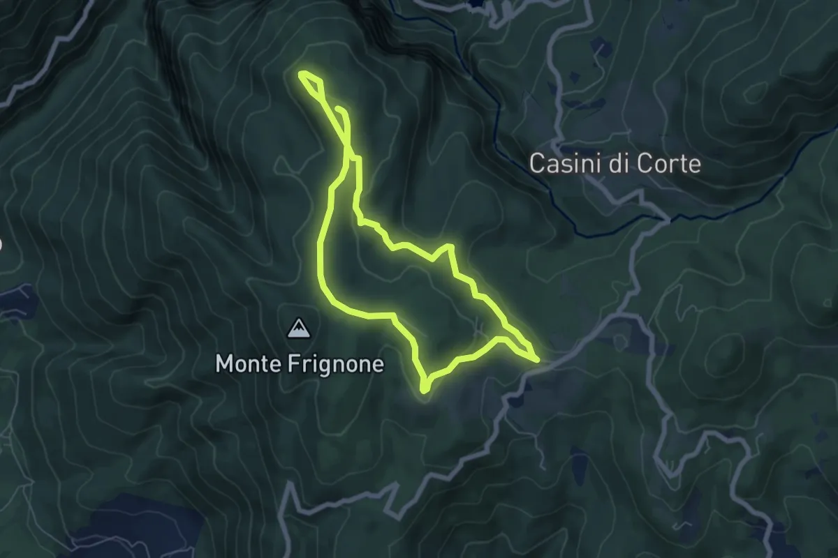
Easy · Summit
Il Sentiero dell'Ariosto
5.1 km · ↑ 222 m · 1 h 45 min
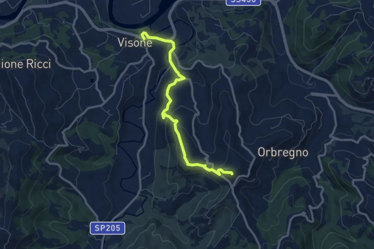
Medium · Summit
Il Sentiero della Ripa
11.3 km · ↑ 314 m · 3 h 21 min
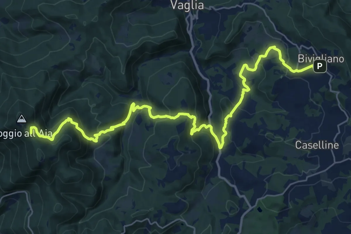
Medium · Summit
Il Sentiero della Torre (Visone)
7.1 km · ↑ 325 m · 2 h 22 min
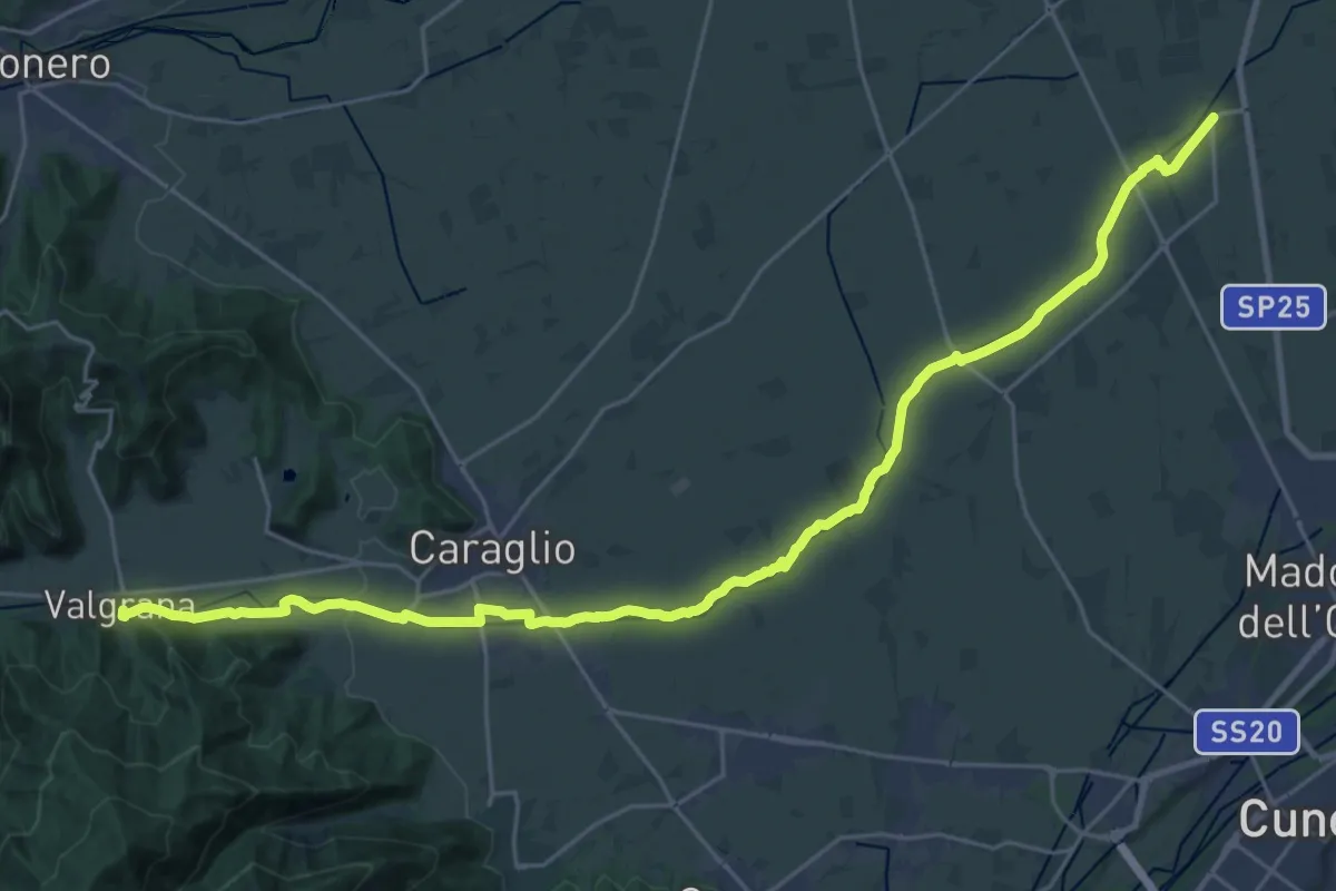
Demanding · Summit
Il Sentiero Delle Cime - 61 - Comune di Vaglia
26.4 km · ↑ 1504 m · 9 h 30 min
Medium · Trail
Il sentiero delle coccinelle gialle
16.1 km · ↑ 189 m · 4 h 22 min
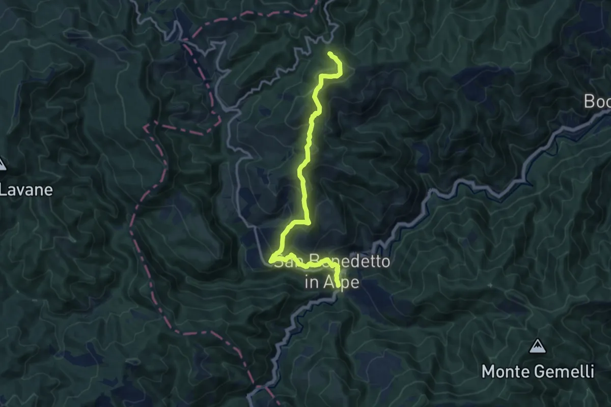
Medium · Summit
Il Sentiero delle Foreste Sacre: Tappa 1
12.2 km · ↑ 748 m · 4 h 31 min
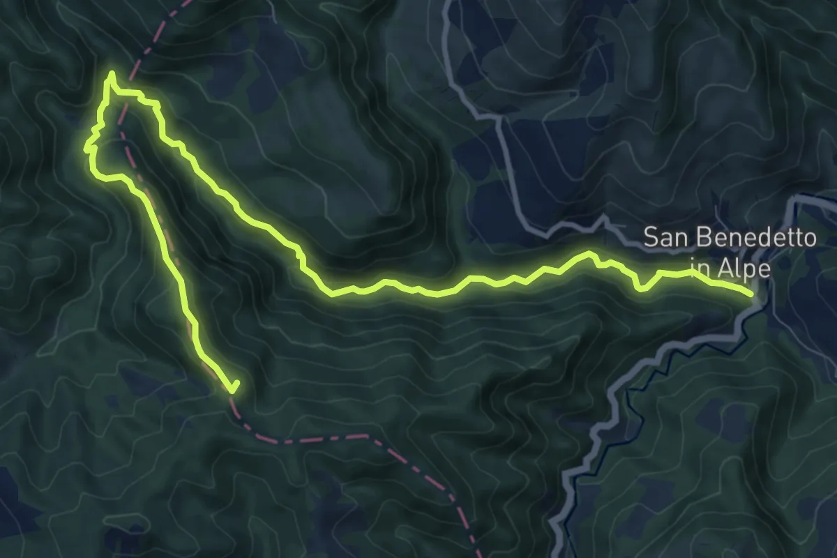
Medium · Summit
Il Sentiero delle Foreste Sacre: Tappa 2
13.3 km · ↑ 542 m · 4 h 19 min
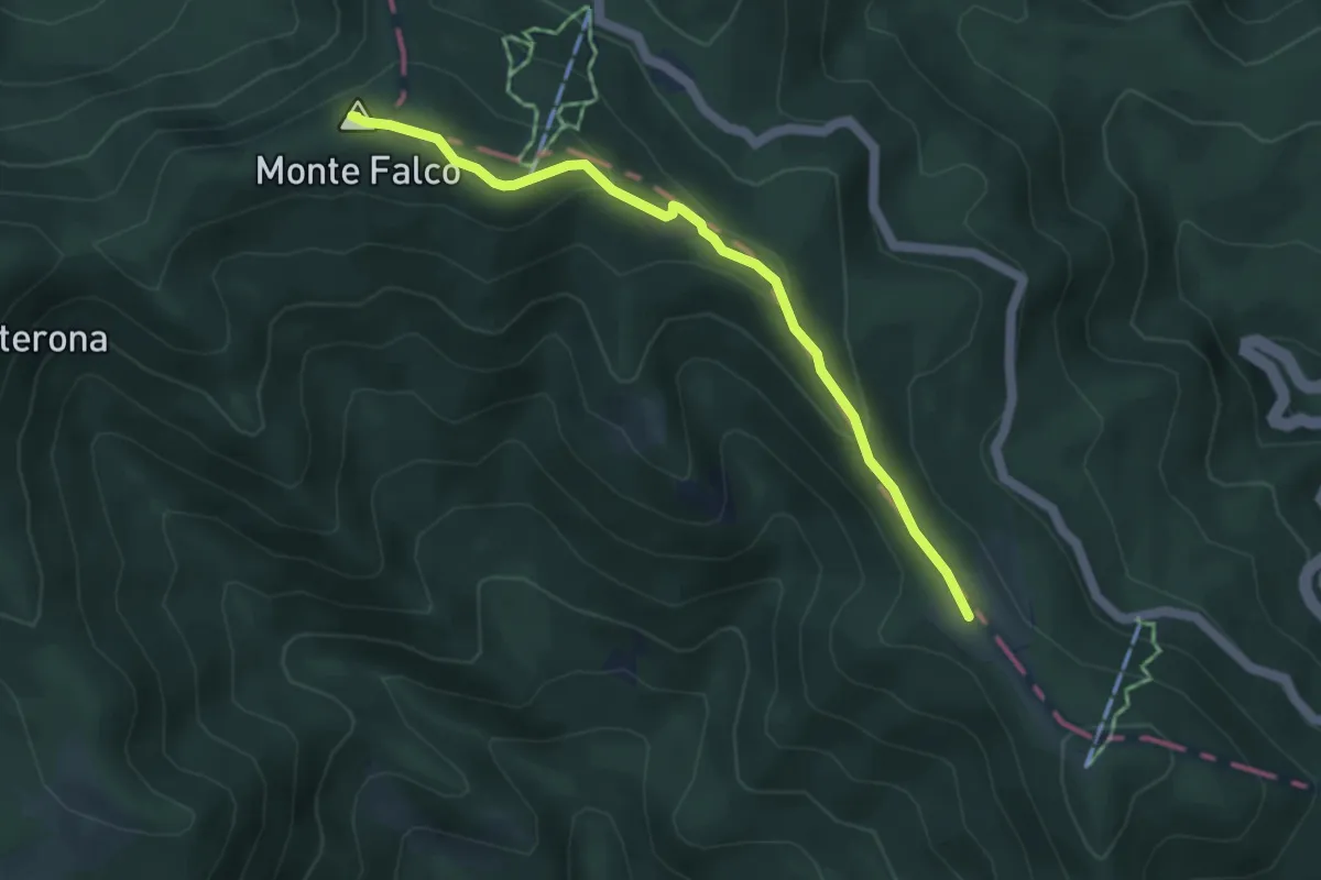
Medium · Summit
Il Sentiero delle Foreste Sacre: Tappa 3
4.7 km · ↑ 205 m · 1 h 33 min
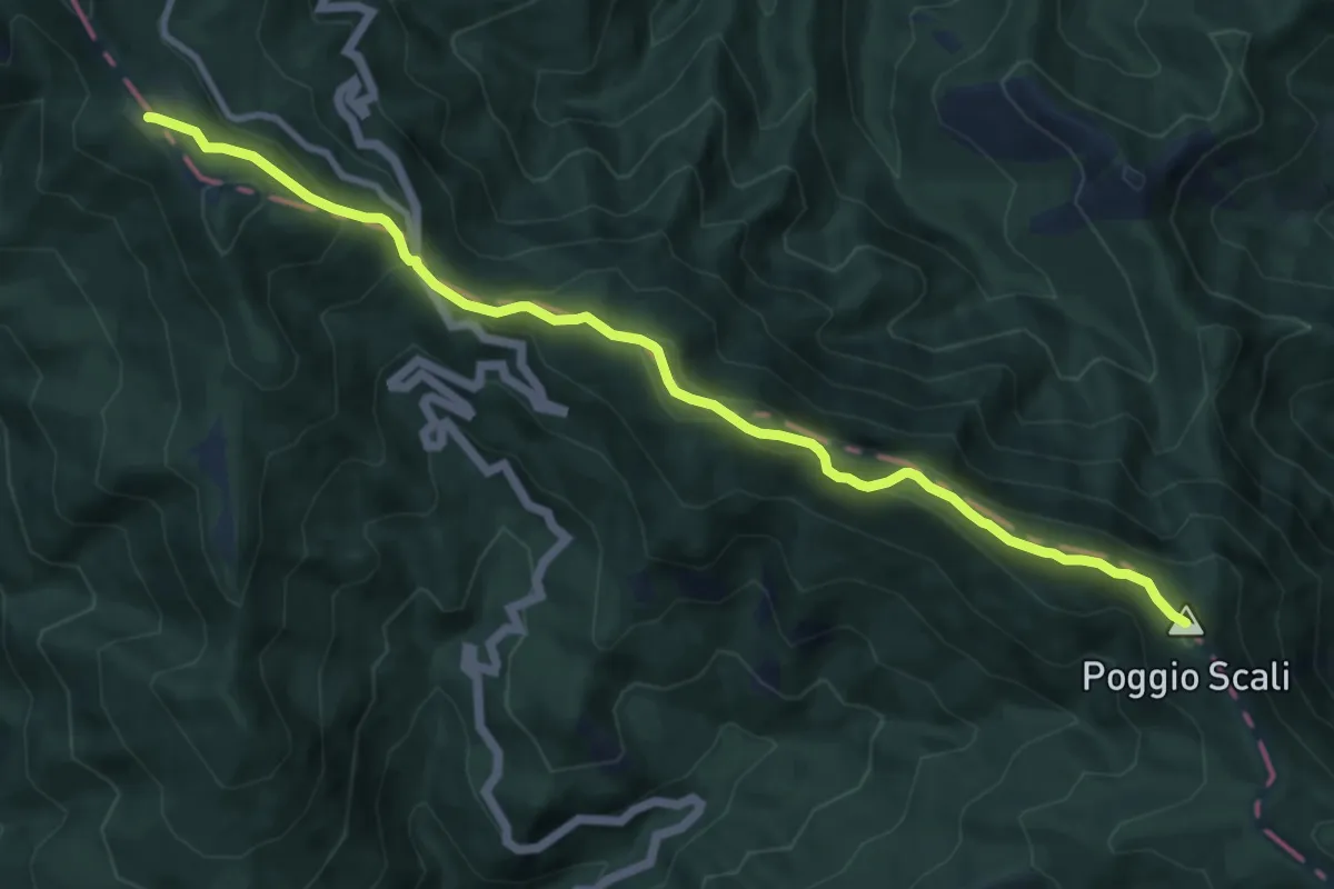
Medium · Summit
Il Sentiero delle Foreste Sacre: Tappa 4
11.4 km · ↑ 608 m · 4 h
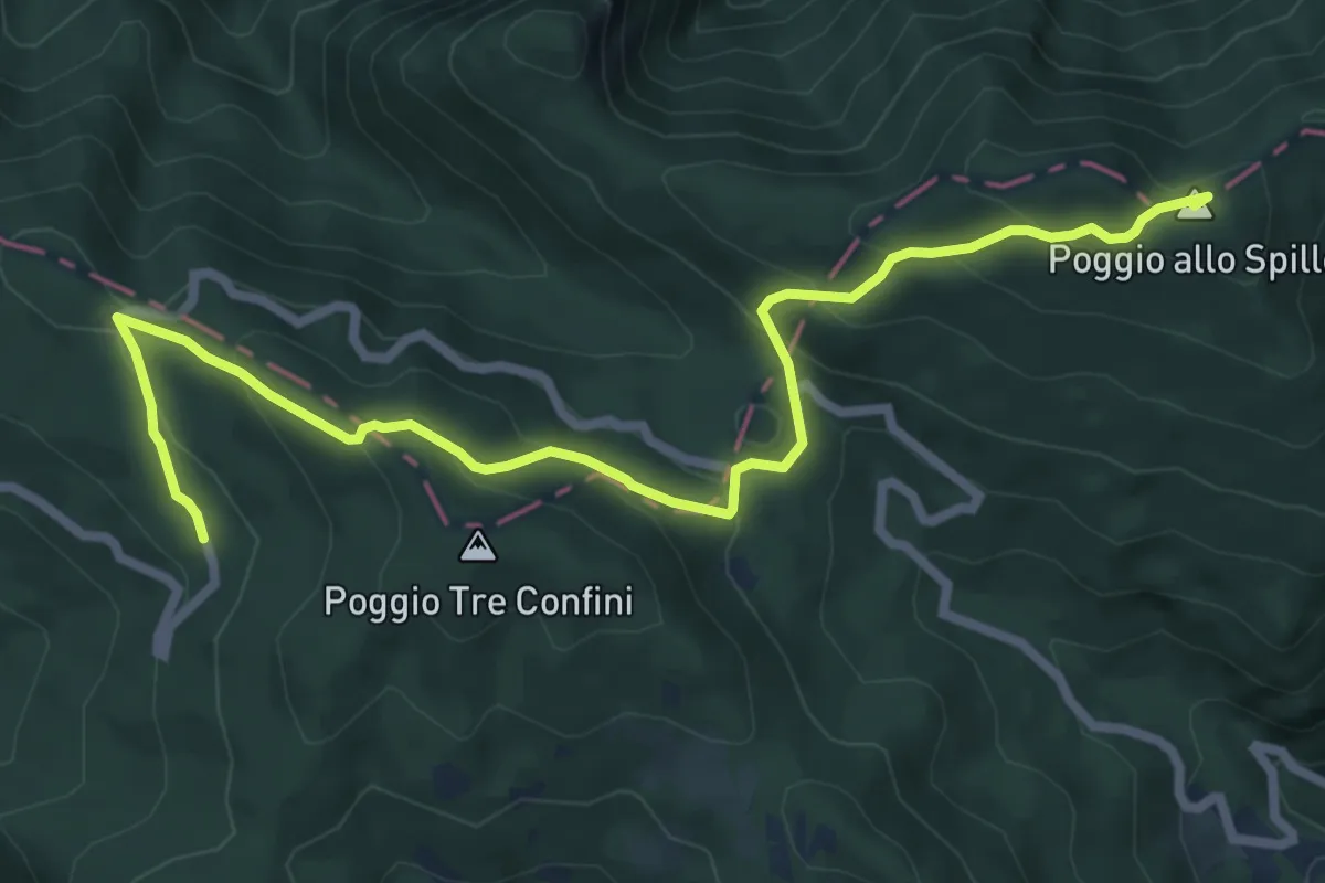
Medium · Summit
Il Sentiero delle Foreste Sacre: Tappa 5
8.5 km · ↑ 448 m · 2 h 58 min
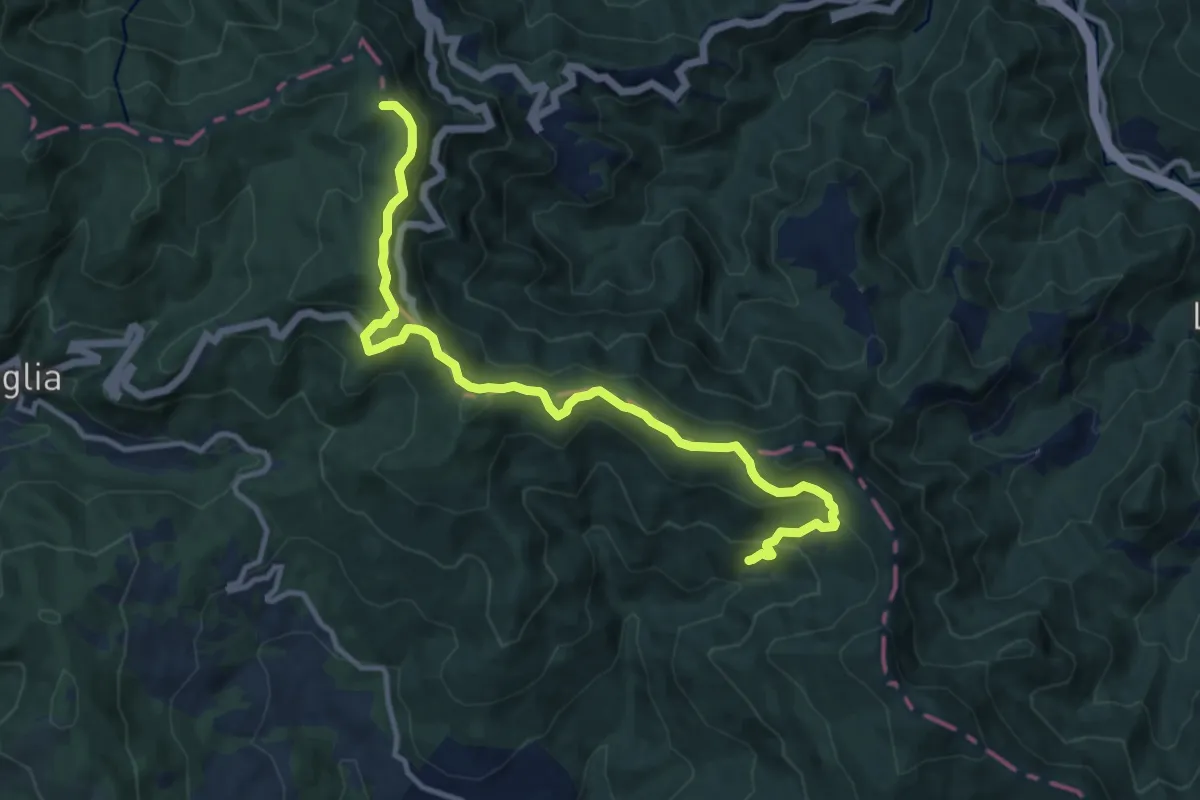
Medium · Summit
Il Sentiero delle Foreste Sacre: Tappa 6
12.7 km · ↑ 636 m · 4 h 22 min
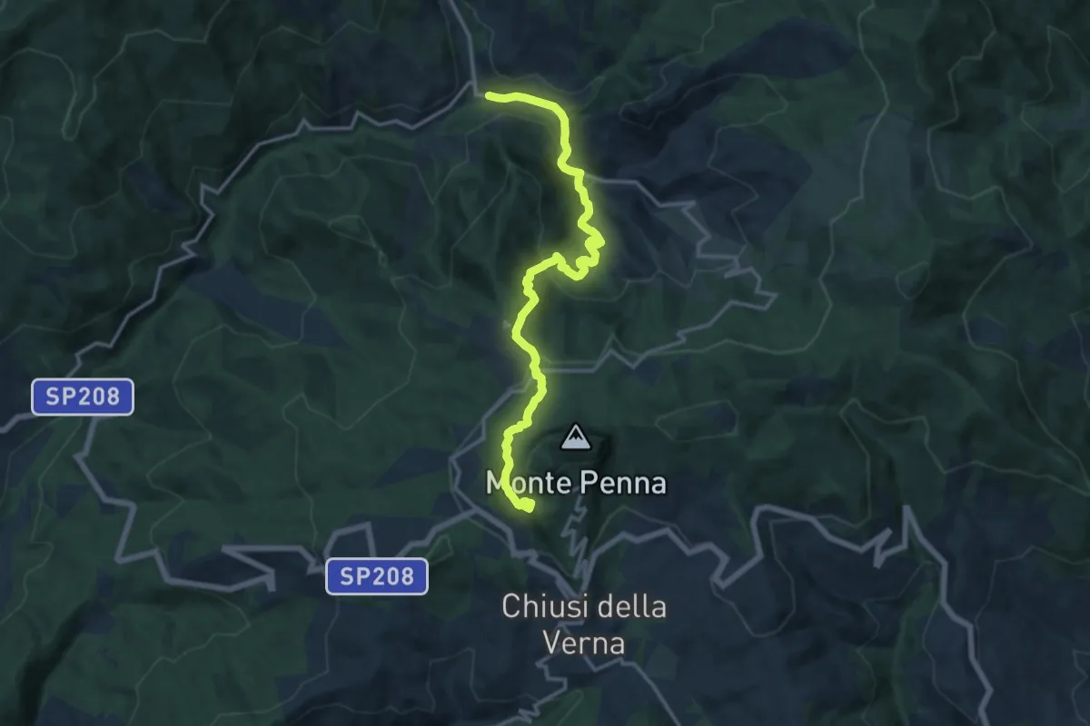
Demanding · Trail
Il Sentiero delle Foreste Sacre: Tappa 7
14.7 km · ↑ 816 m · 5 h 15 min
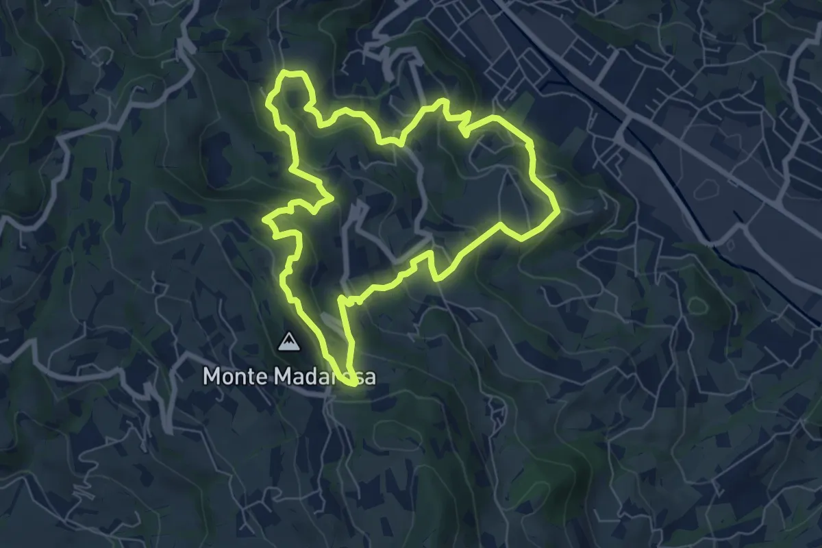
Medium · Summit
Il Sentiero delle Marogne
7.0 km · ↑ 385 m · 2 h 35 min
Medium · Summit
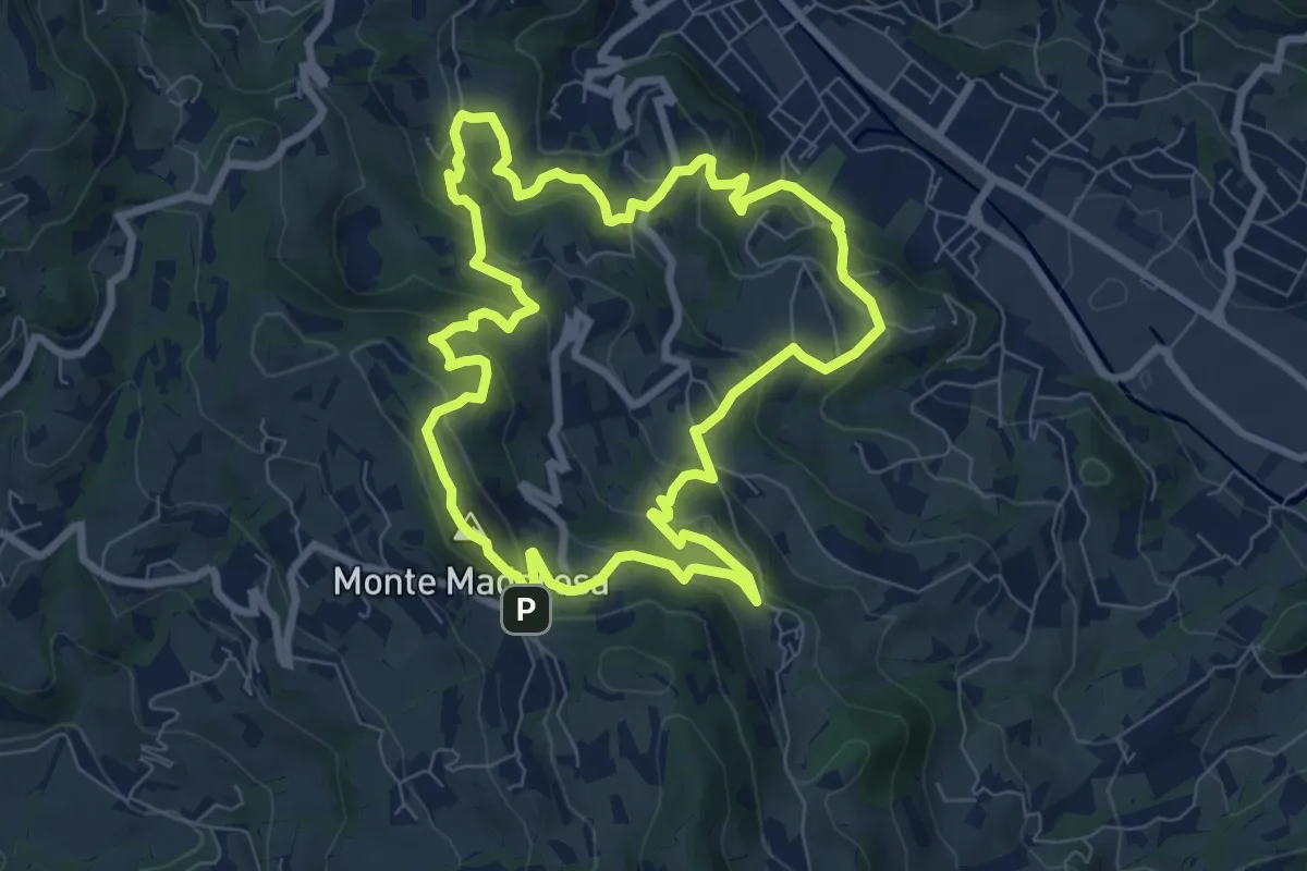
Il Sentiero delle Marogne 1
8.1 km · ↑ 433 m · 2 h 58 min
Medium · Summit
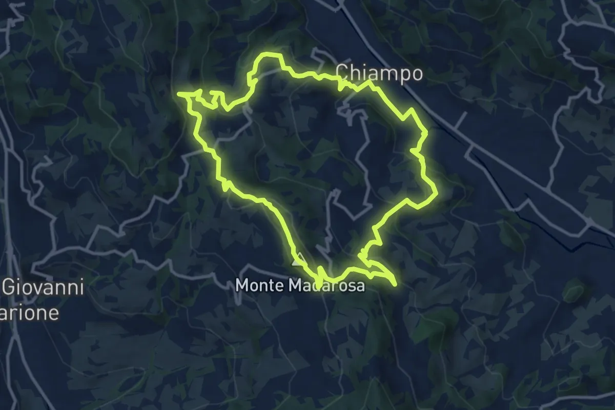
Il Sentiero delle Marogne 2
10.8 km · ↑ 479 m · 3 h 45 min
Demanding · Trail
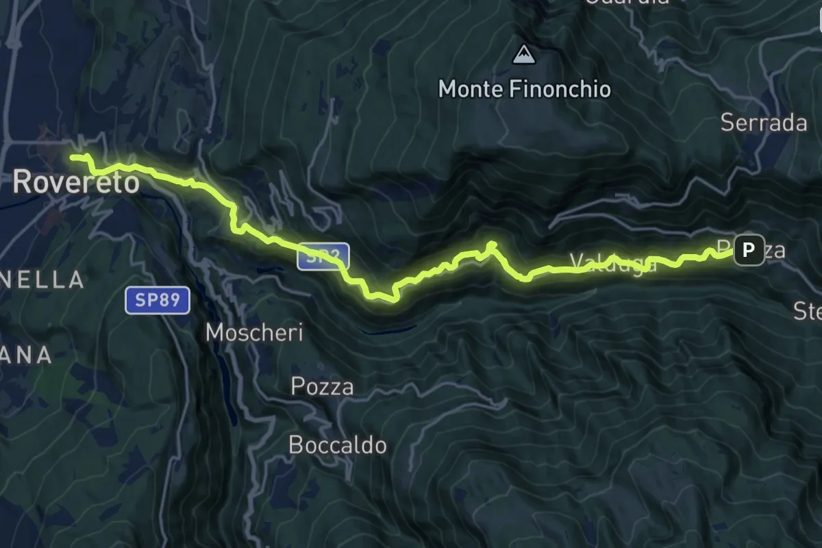
Il Sentiero delle "Teragnòle"
21.3 km · ↑ 1292 m · 7 h 49 min
Medium · Trail
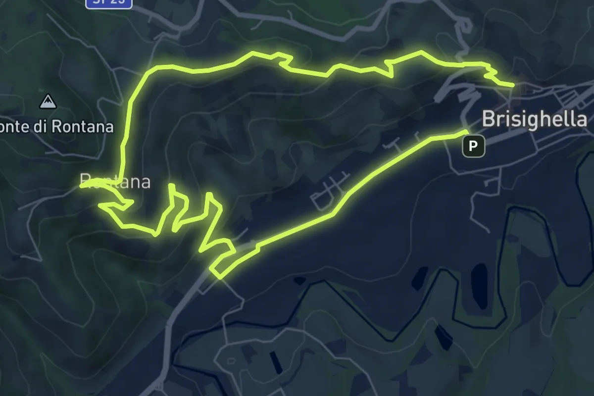
Il Sentiero dell'Olio
14.0 km · ↑ 513 m · 4 h 26 min
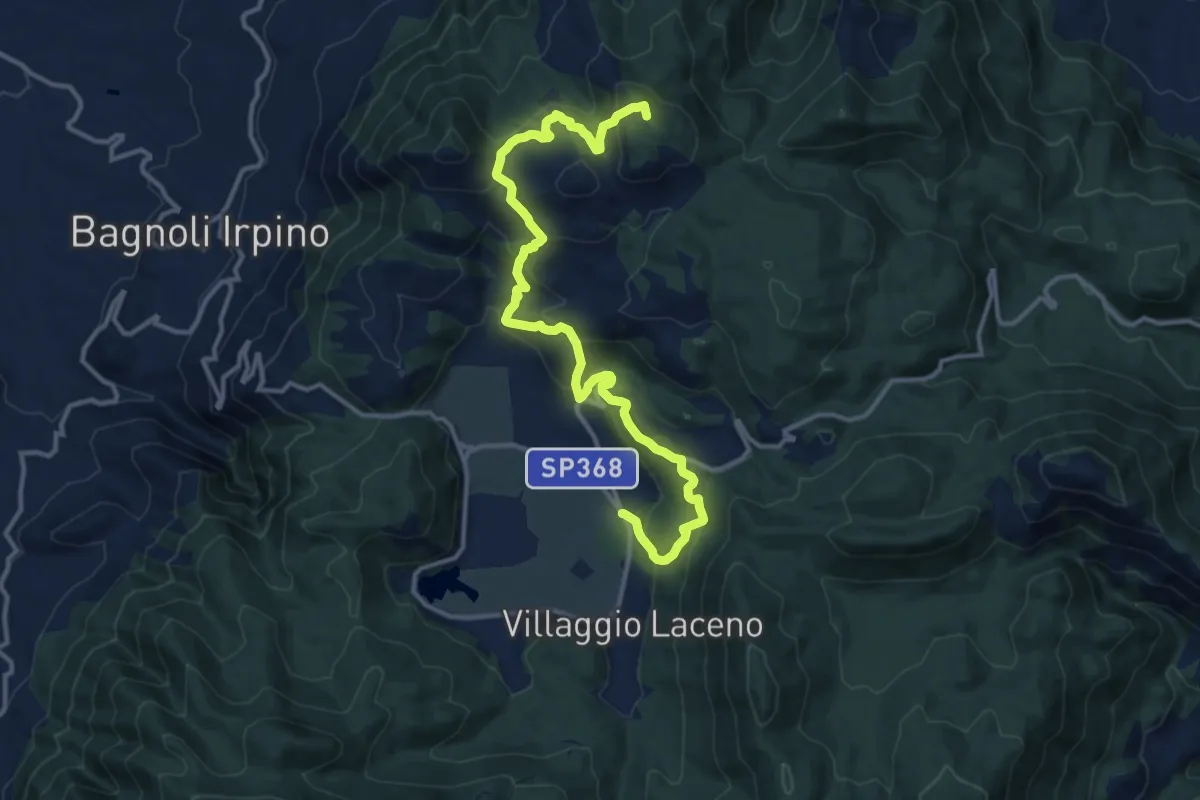
Demanding · Summit
Il sentiero del Montagnone di Nusco
16.4 km · ↑ 1024 m · 6 h 5 min
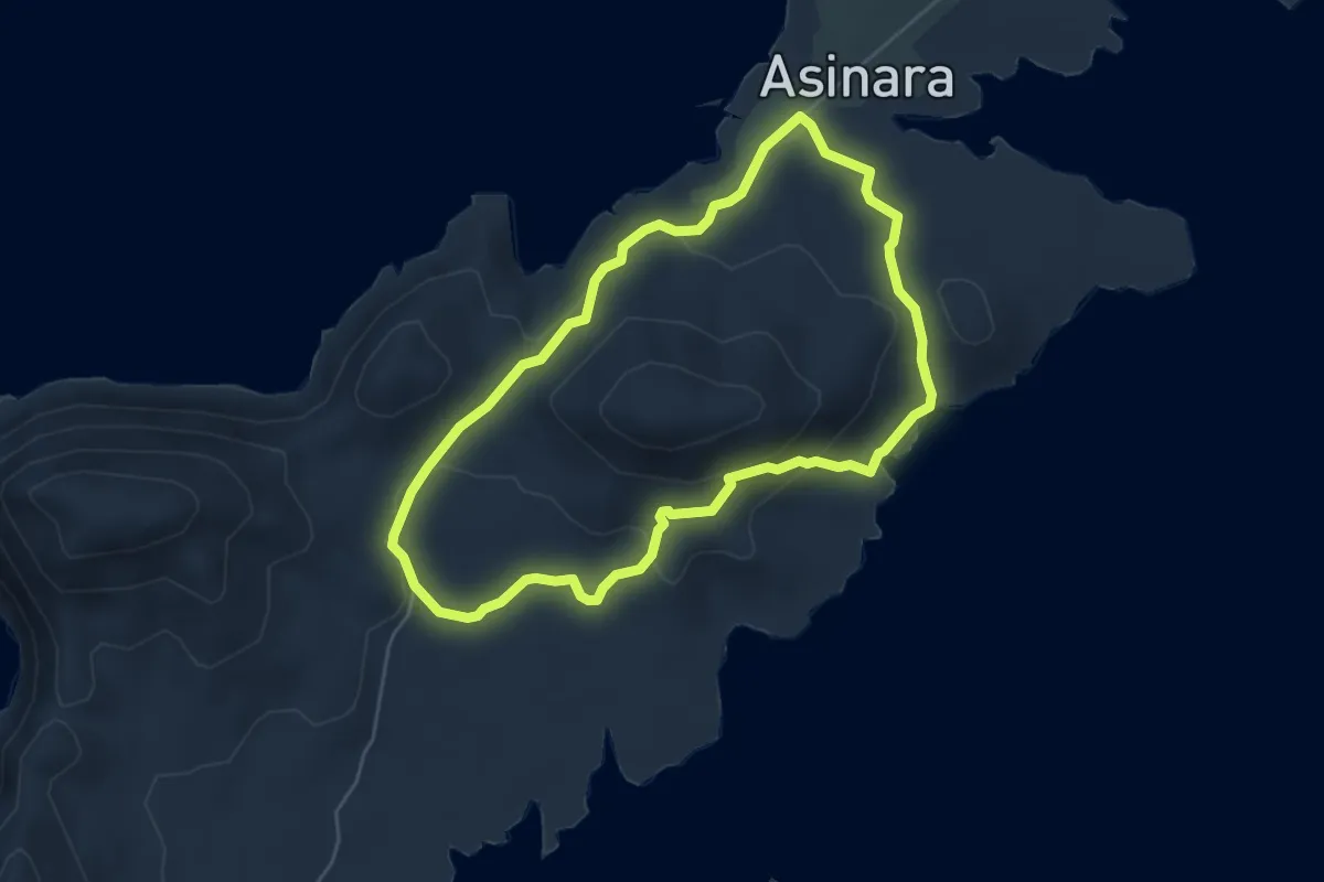
Easy · Trail
Il Sentiero del Muflone
5.5 km · ↑ 167 m · 1 h 44 min
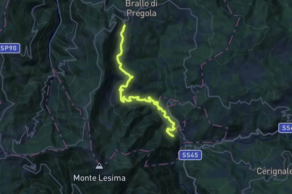
Demanding · Trail
Il Sentiero del paese Fantasma
18.6 km · ↑ 927 m · 6 h 24 min
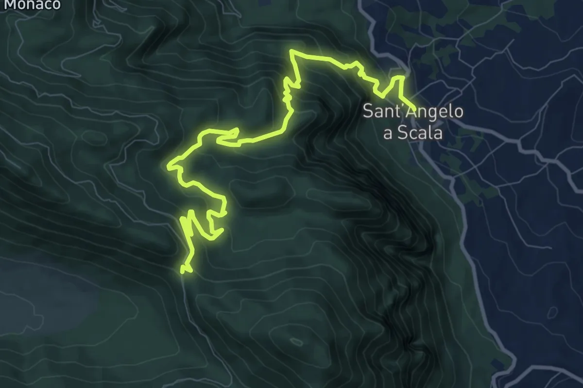
Demanding · Trail
Il sentiero di Fra Diavolo
12.4 km · ↑ 852 m · 4 h 47 min
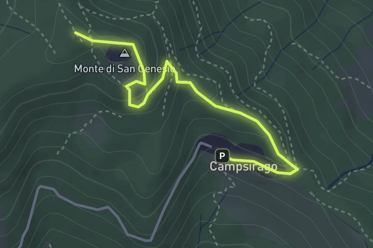
Medium · Summit
Il Sentiero di Giano
3.4 km · ↑ 182 m · 1 h 11 min
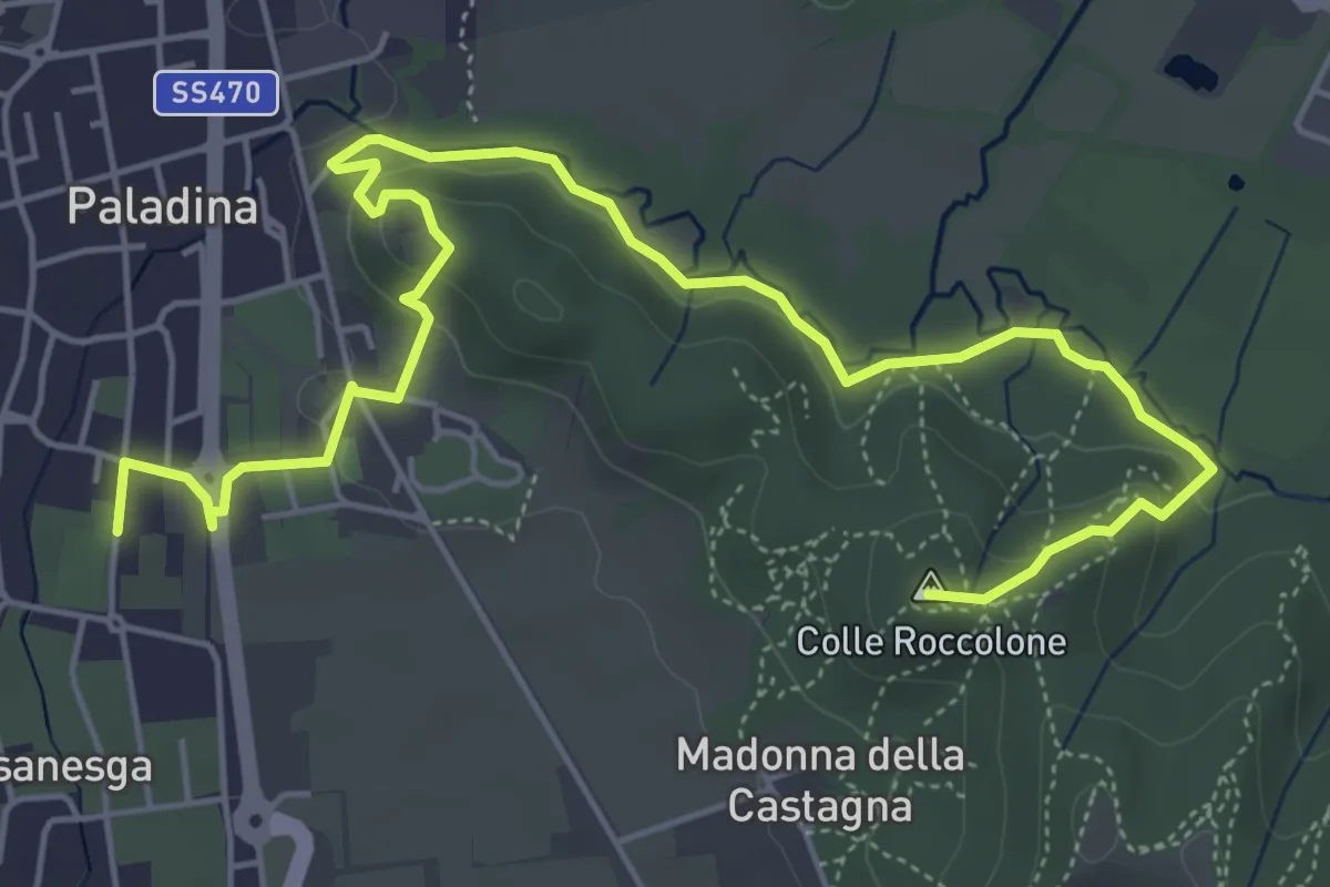
Easy · Summit
Il Sentiero di Ilaria
7.2 km · ↑ 194 m · 2 h 8 min
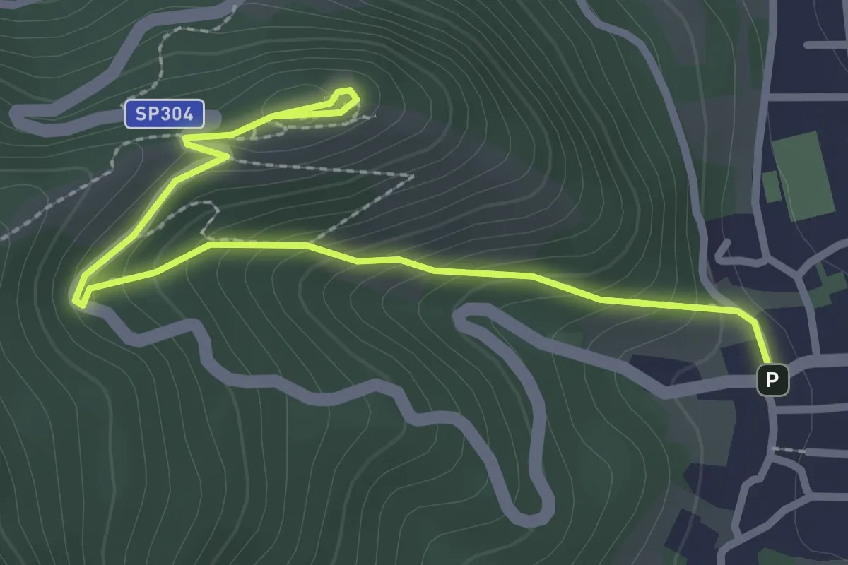
Easy · Cabin
Il sentiero di Petin Menin
3.1 km · ↑ 229 m · 1 h 14 min
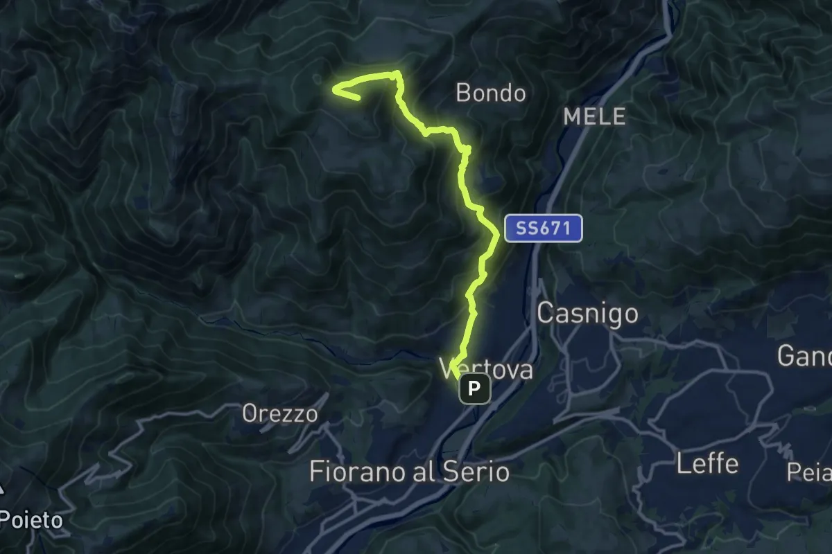
Demanding · Summit
Il Sentiero di San Patrizio
12.0 km · ↑ 934 m · 4 h 51 min
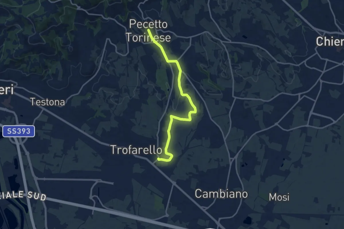
Medium · Trail
Il sentiero di Valle San Pietro
12.3 km · ↑ 205 m · 3 h 21 min
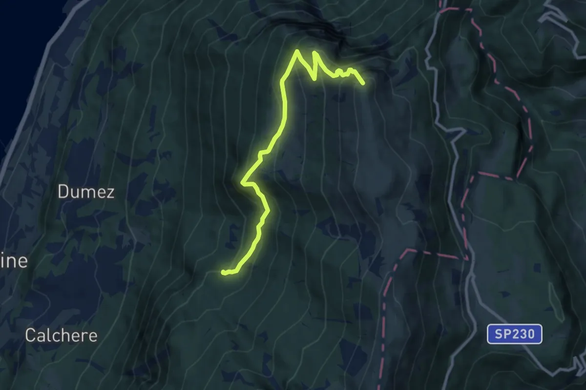
Demanding · Summit
Il Signor - Prai - Bocca di Navene
8.8 km · ↑ 831 m · 3 h 52 min
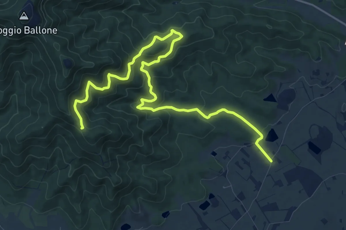
Medium · Trail
Il Tavolone
16.0 km · ↑ 656 m · 5 h 12 min
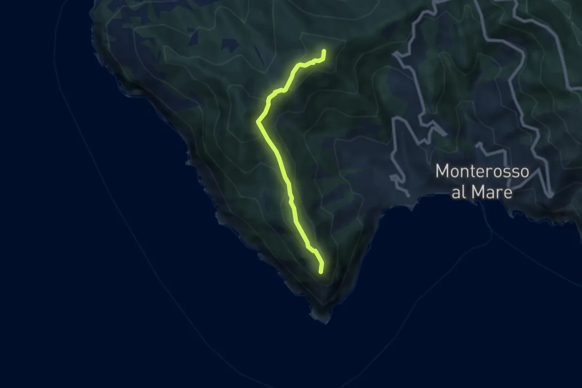
Medium · Summit
Il Termine – Mad.di Soviore – Colla di Gritta – S.Antonio al Mesco
5.7 km · ↑ 270 m · 1 h 56 min