Trails in Japan
621 hiking trails, each with its route, climb, walking time and grade.
All trails, page 9 of 13
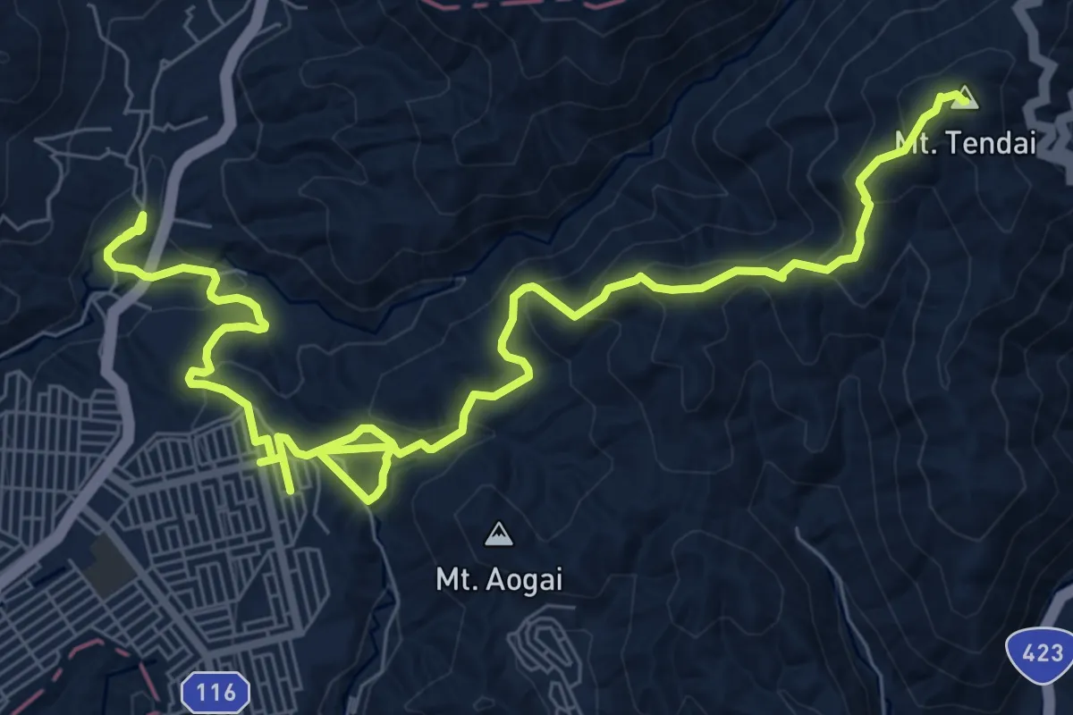
Medium · Summit
天台山コース
13.0 km · ↑ 559 m · 4 h 17 min
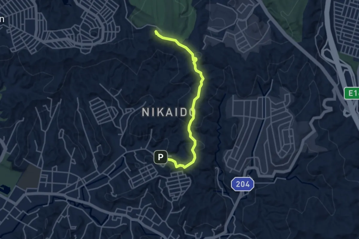
Easy · Summit
天園ハイキングコース
4.2 km · ↑ 168 m · 1 h 21 min
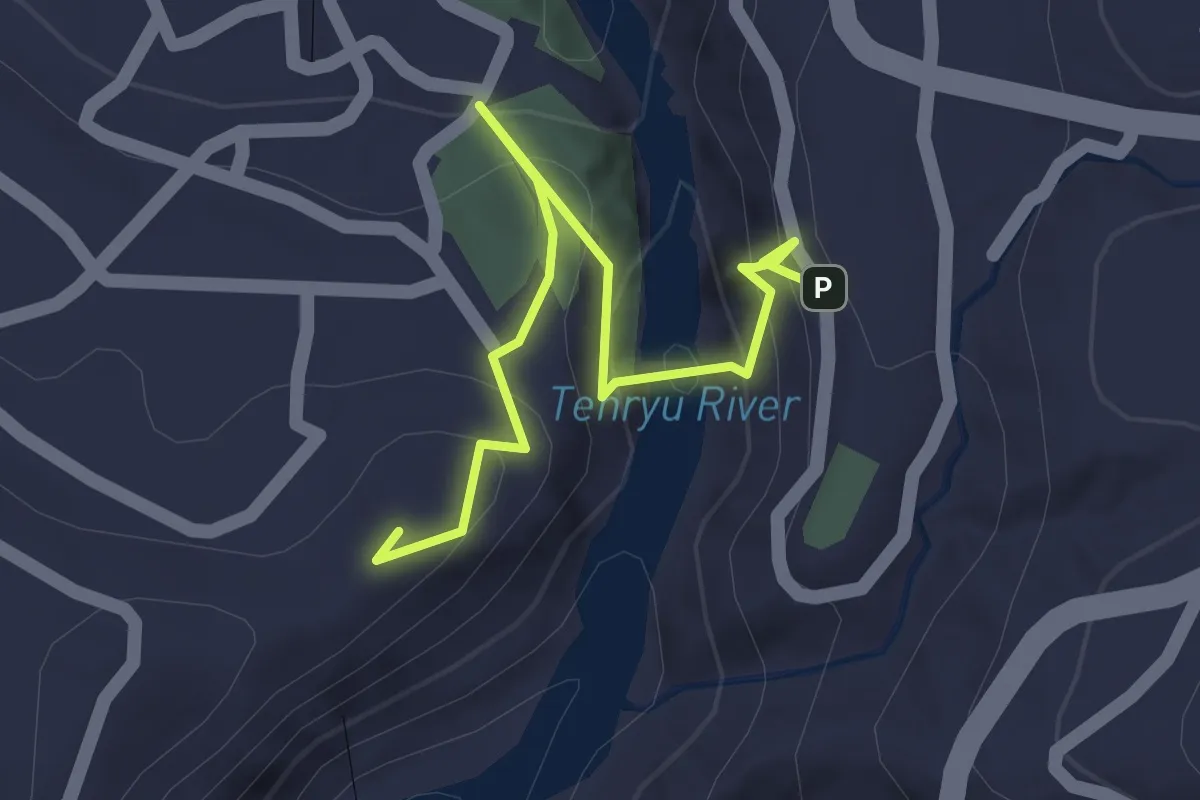
Easy · Summit
天龍峡遊歩道
2.0 km · ↑ 113 m · 43 min
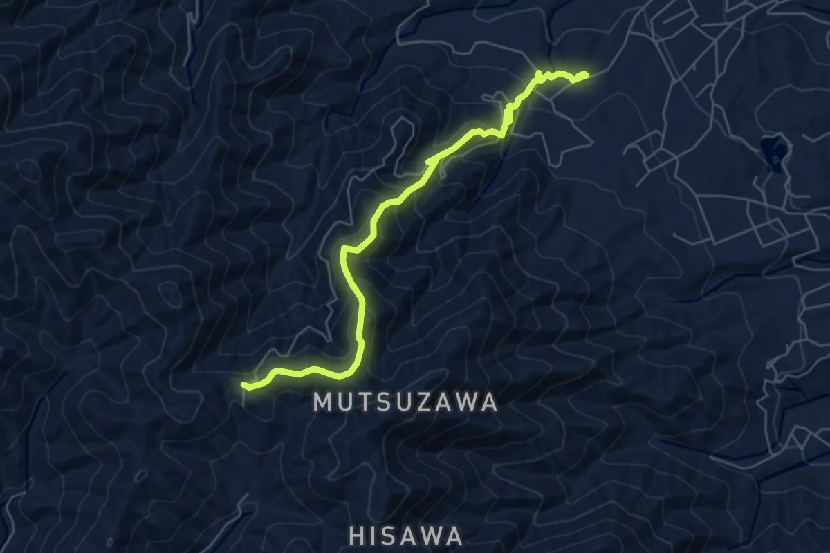
Medium · Trail
娯楽峠古道
7.0 km · ↑ 574 m · 2 h 54 min
Medium · Summit
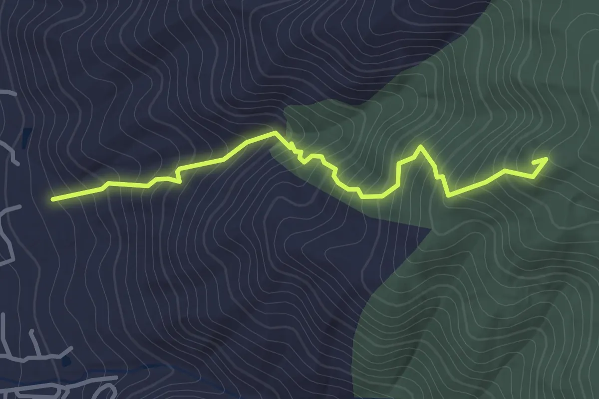
客坊谷ハイキングコース
3.4 km · ↑ 365 m · 1 h 36 min
Medium · Summit
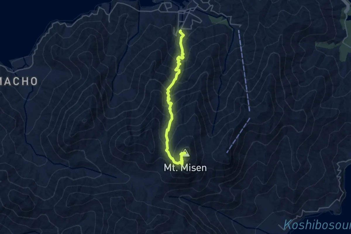
宮島の自然満喫コース
4.7 km · ↑ 501 m · 2 h 12 min
Medium · Trail
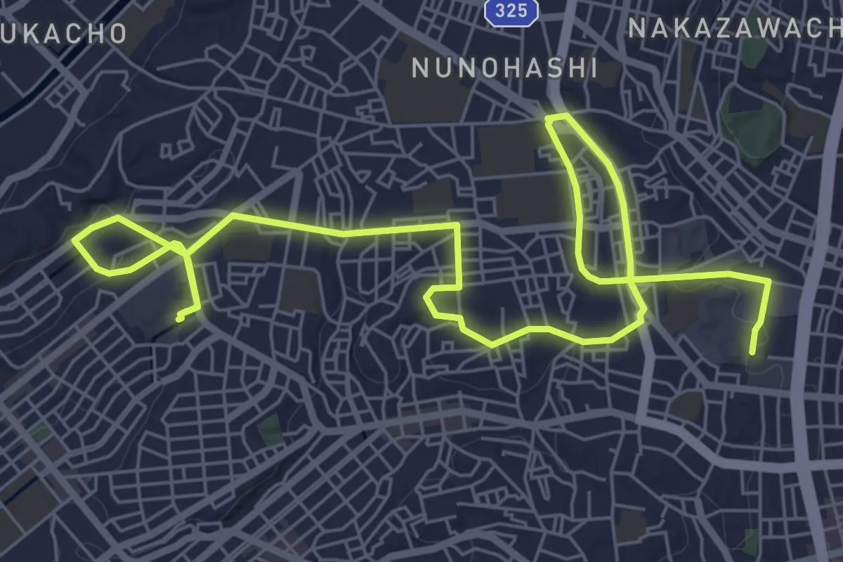
家康の散歩道 合戦ルート
12.4 km · ↑ 127 m · 3 h 12 min
Demanding · Summit
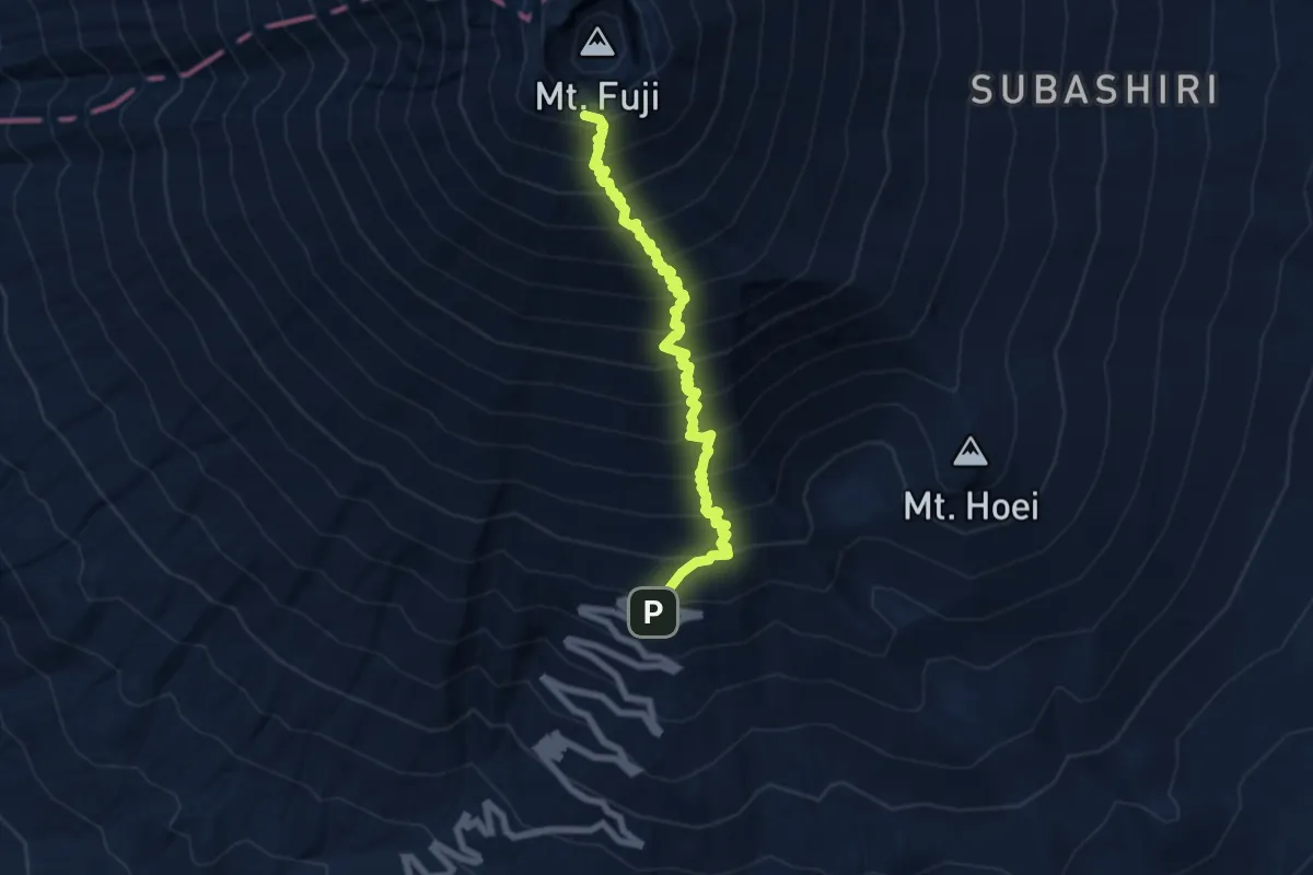
富士宮ルート
8.3 km · ↑ 1344 m · 4 h 53 min
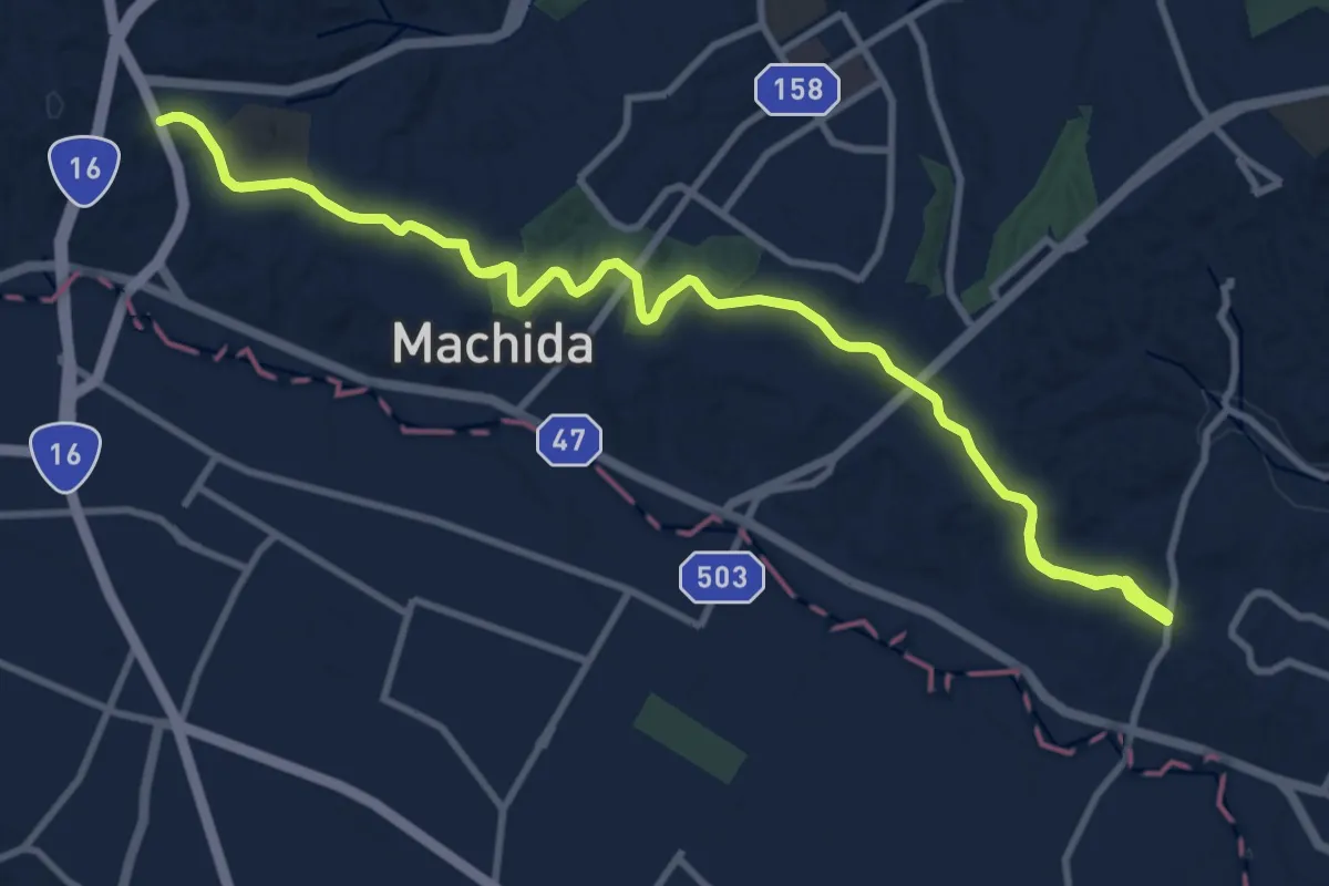
Medium · Trail
尾根緑道
16.1 km · ↑ 256 m · 4 h 22 min
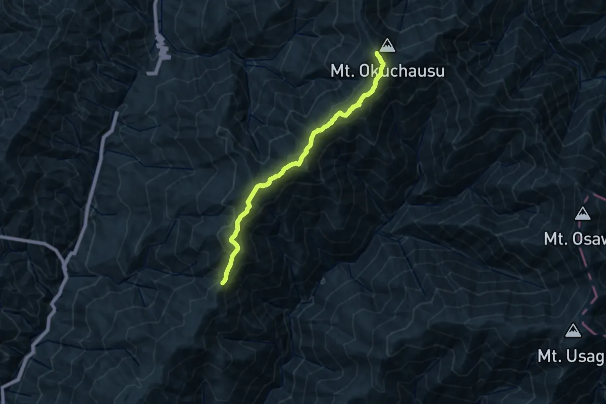
Demanding · Summit
尾高山・奥茶臼山登山コース
14.8 km · ↑ 1084 m · 5 h 50 min
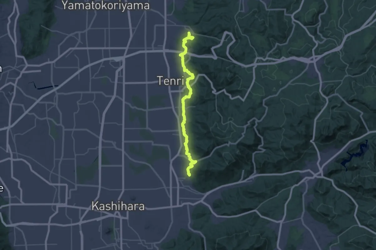
Demanding · Summit
山の辺の道
32.4 km · ↑ 779 m · 9 h 21 min
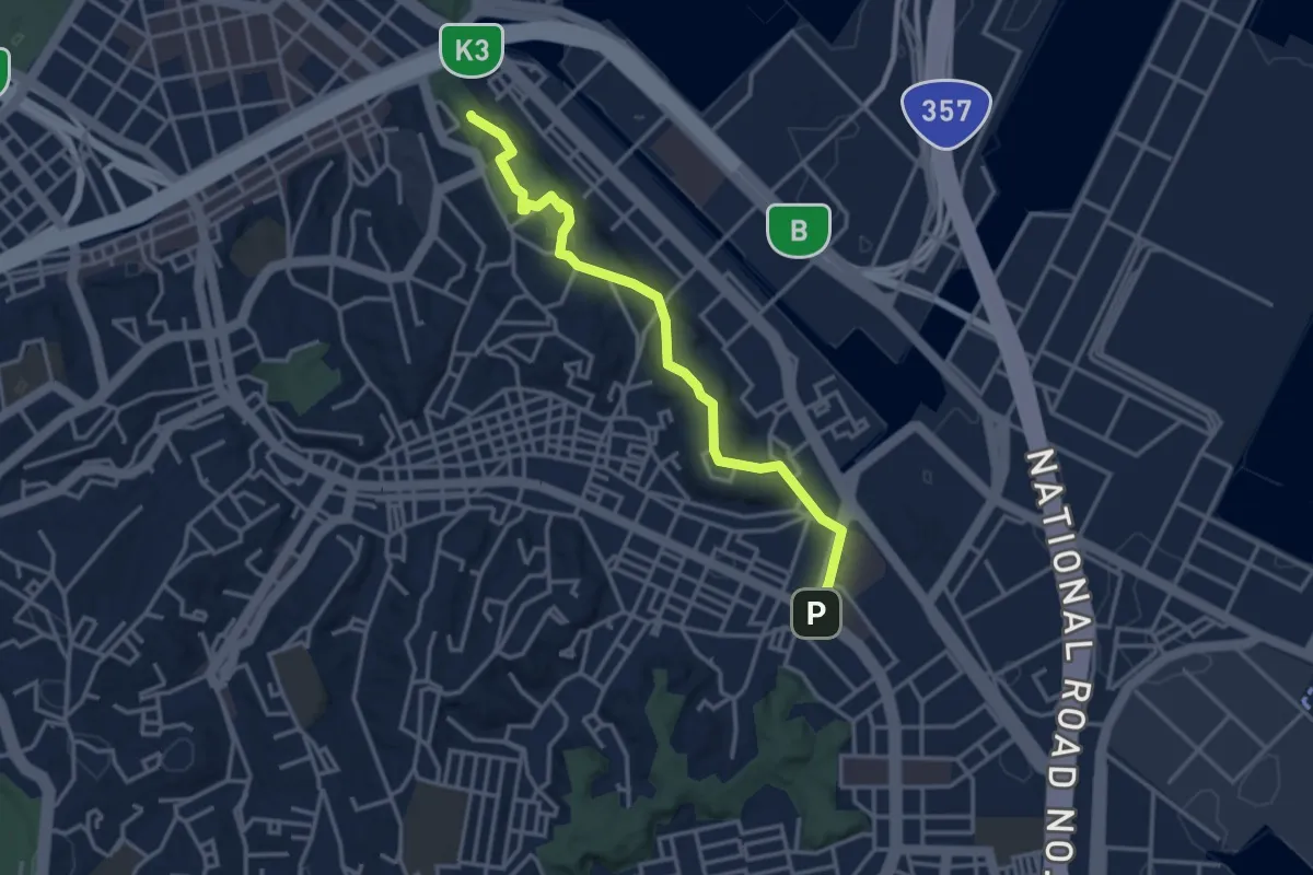
Easy · Summit
山手から本牧へ
4.2 km · ↑ 109 m · 1 h 13 min
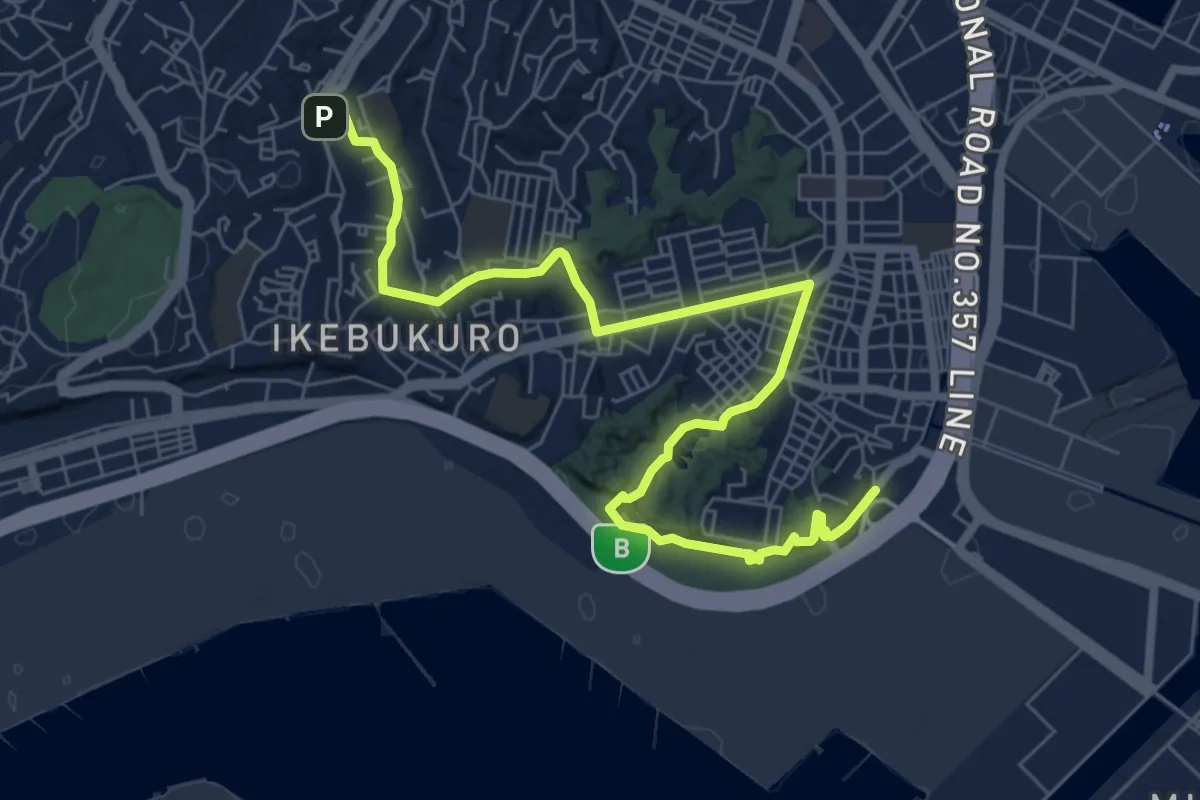
Medium · Trail
山手駅から三渓園・本牧市民公園へ
10.6 km · ↑ 209 m · 2 h 57 min
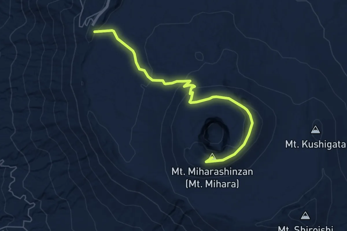
Easy · Summit
山頂コース
7.1 km · ↑ 284 m · 2 h 17 min
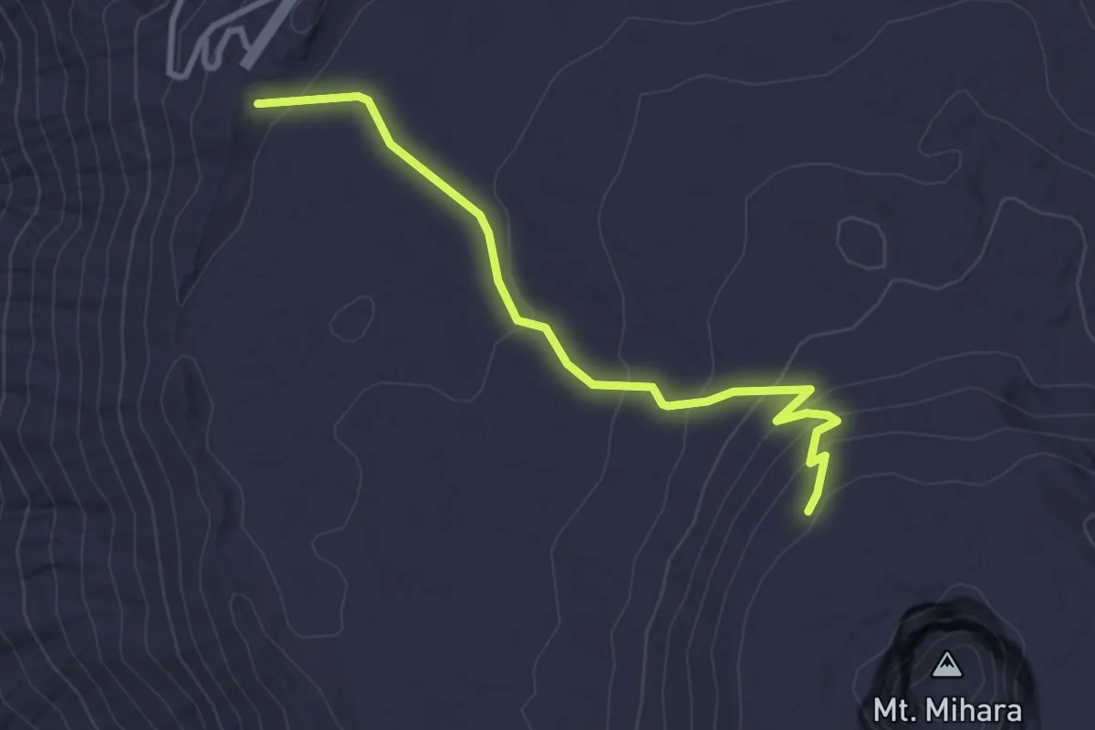
Easy · Trail
山頂遊歩道
3.7 km · ↑ 161 m · 1 h 14 min
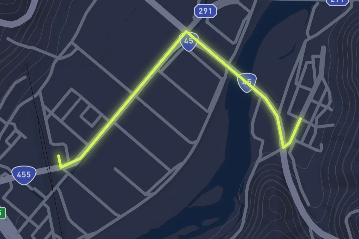
Easy · Trail
岩泉小本駅へ南
2.6 km · ↑ 9 m · 38 min
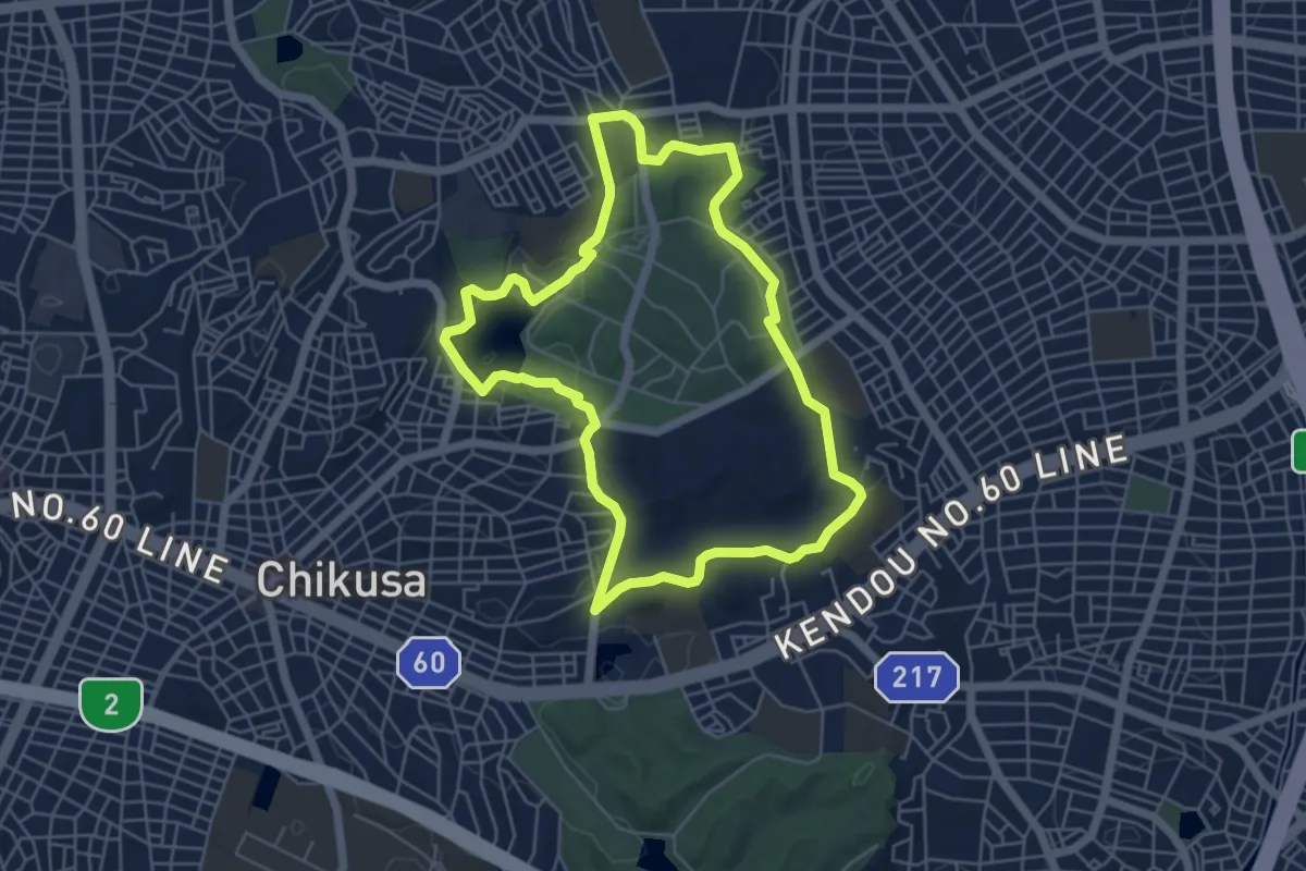
Easy · Trail
平和公園一万歩コース
6.3 km · ↑ 140 m · 1 h 53 min
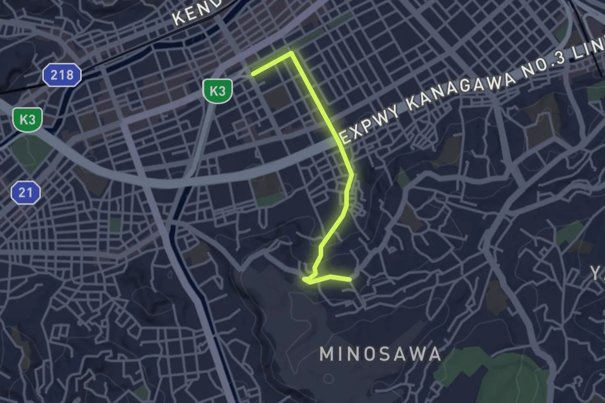
Easy · Trail
平楽の丘ルート
3.3 km · ↑ 52 m · 54 min
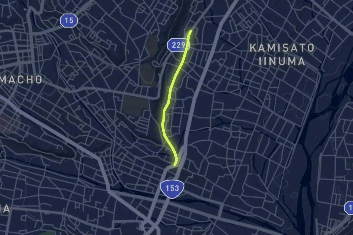
Easy · Trail
座光寺街道
3.2 km · ↑ 42 m · 51 min
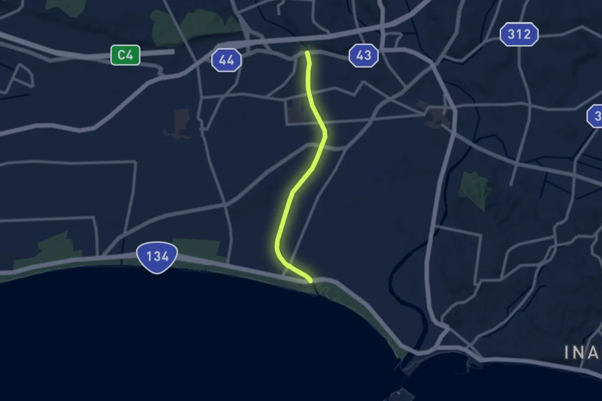
Easy · Trail
引地川緑道
7.7 km · ↑ 26 m · 1 h 52 min
Easy · Trail
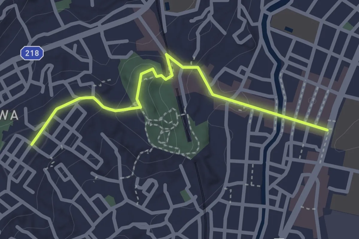
弘明寺・別所の丘ルート
2.6 km · ↑ 60 m · 44 min
Medium · Summit
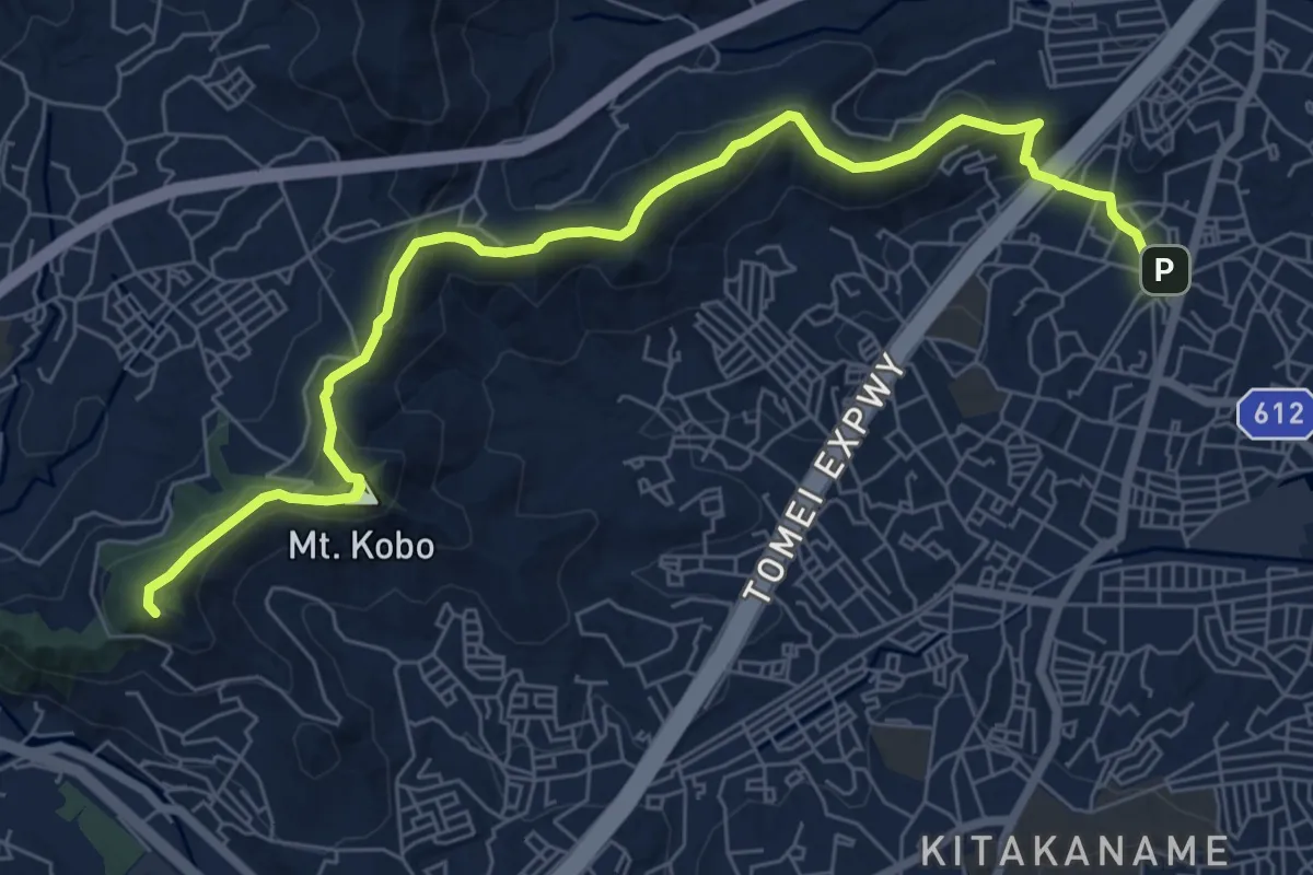
弘法山公園・吾妻山コース
9.6 km · ↑ 460 m · 3 h 16 min
Medium · Trail
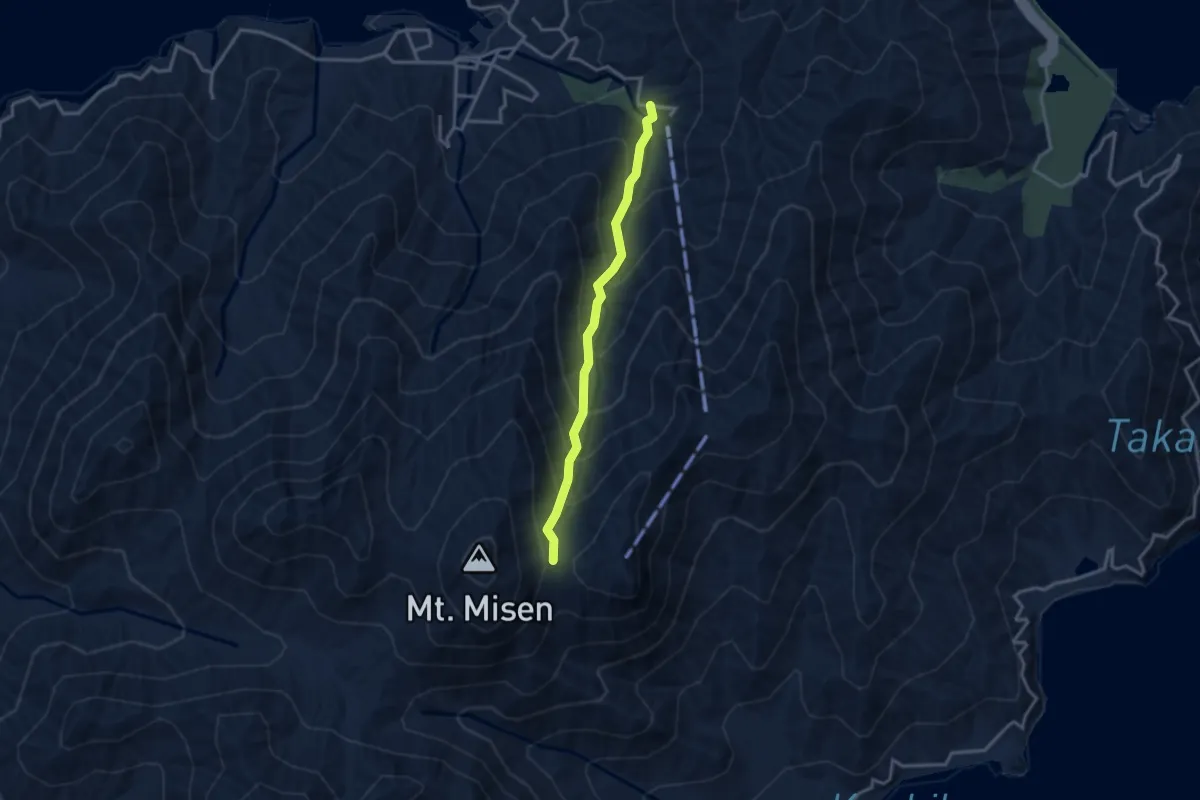
弥山登山道 紅葉谷ルート
3.4 km · ↑ 345 m · 1 h 33 min
Demanding · Summit
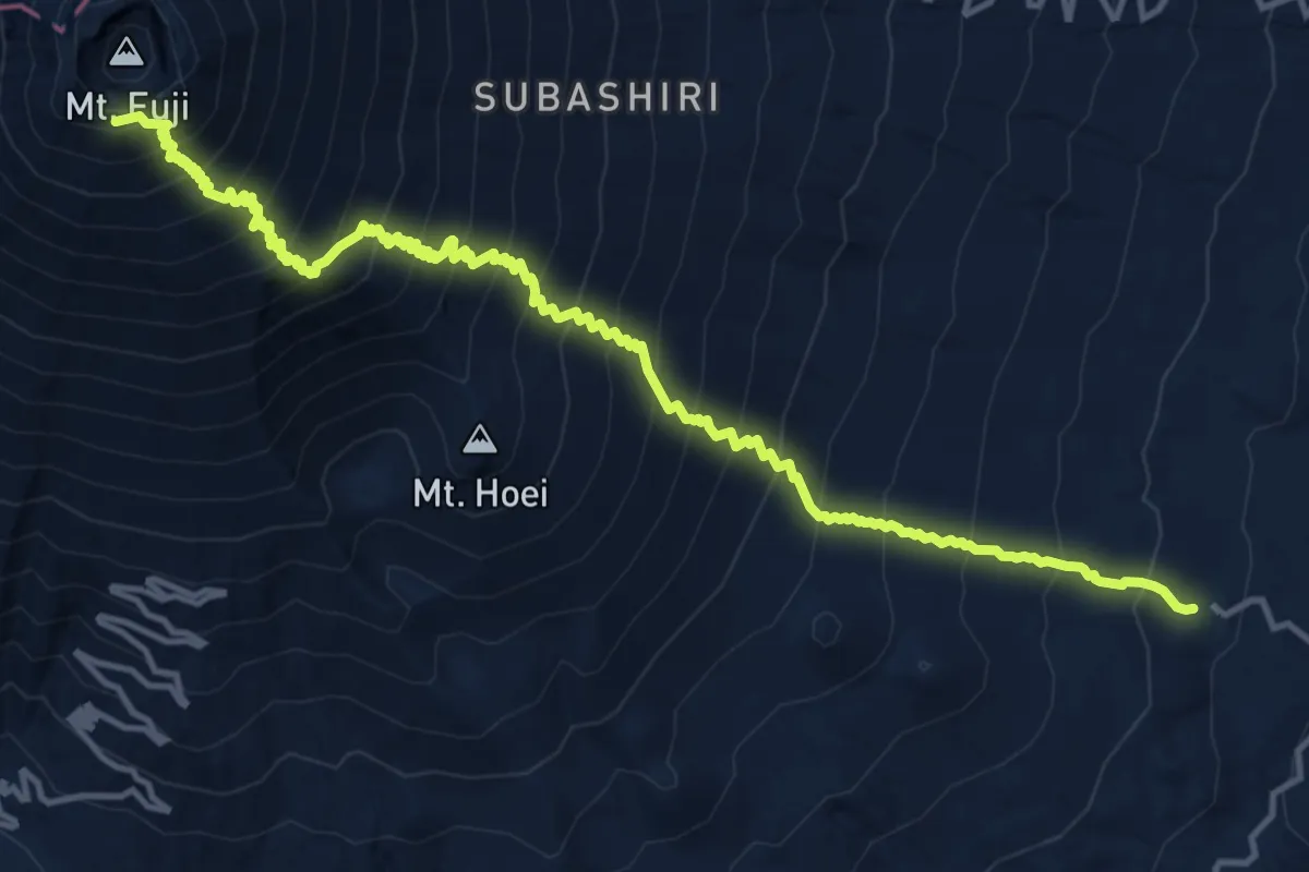
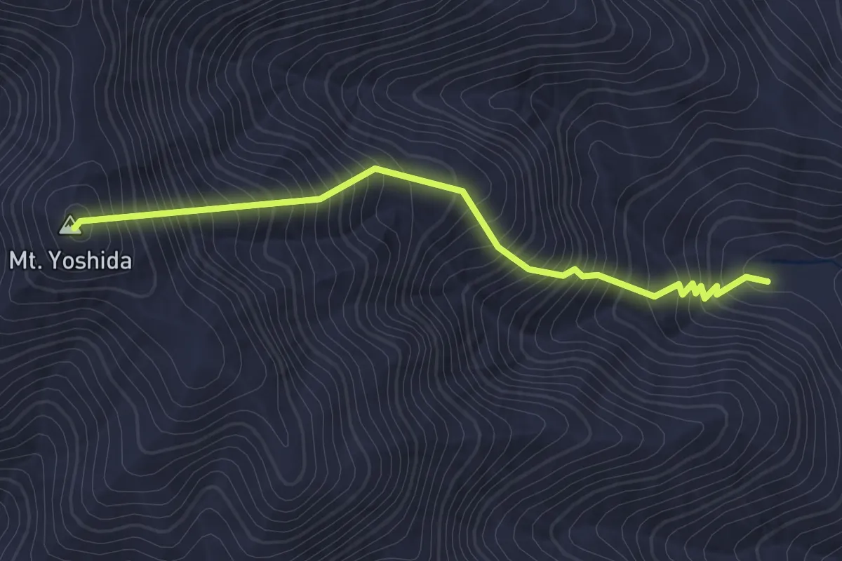
御殿場ルート「登り」
19.0 km · ↑ 2294 m · 9 h 28 min
Medium · Summit
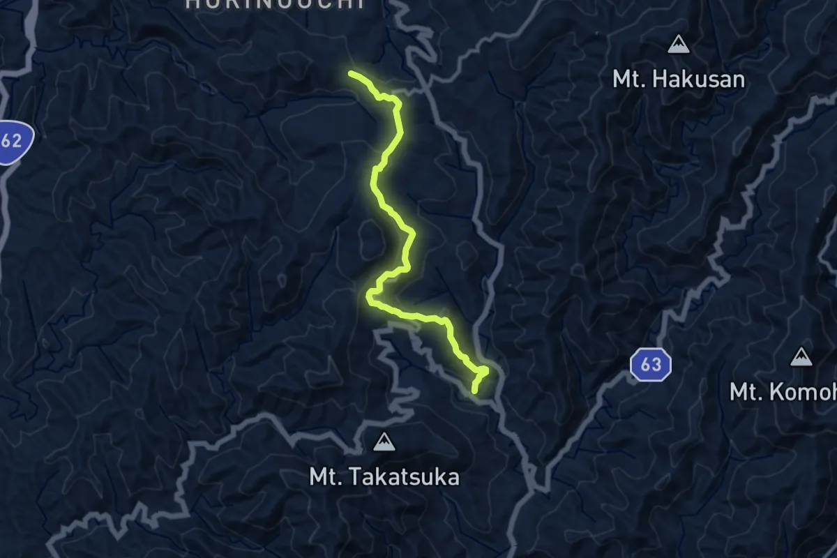
戒壇不動ルート
2.8 km · ↑ 468 m · 1 h 40 min
Medium · Trail
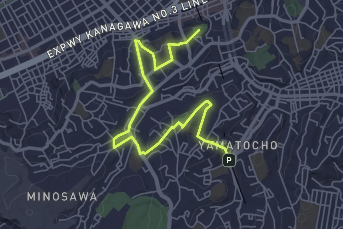
戦国夢街道
11.1 km · ↑ 457 m · 3 h 37 min
Easy · Summit
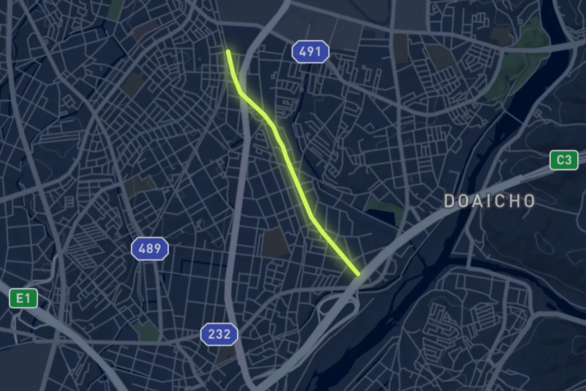
打越から柏葉・竹之丸へ
6.9 km · ↑ 168 m · 2 h
Easy · Trail
挙母線跡地緑道
4.3 km · ↑ 27 m · 1 h 4 min
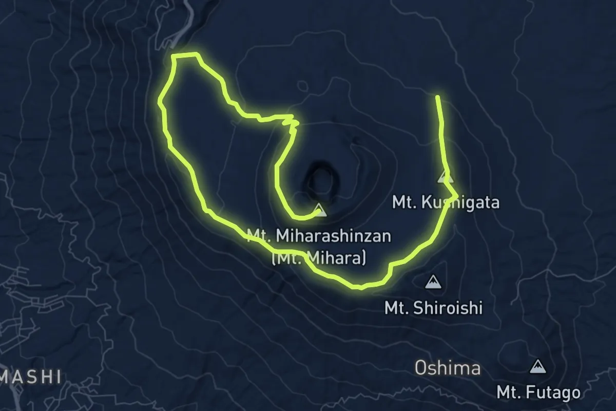
Medium · Summit
探検コース
16.6 km · ↑ 531 m · 5 h 5 min
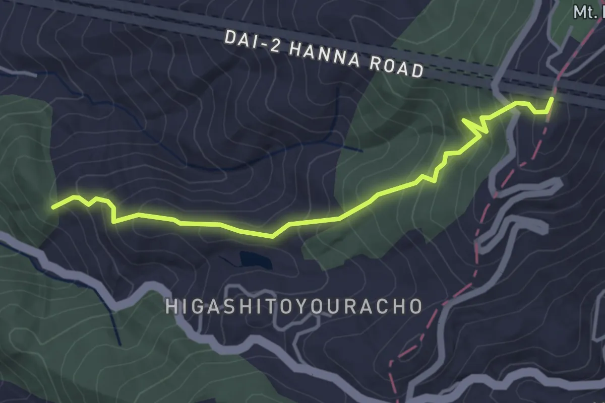
Medium · Trail
摂河泉展望ハイキングコース
4.3 km · ↑ 372 m · 1 h 50 min
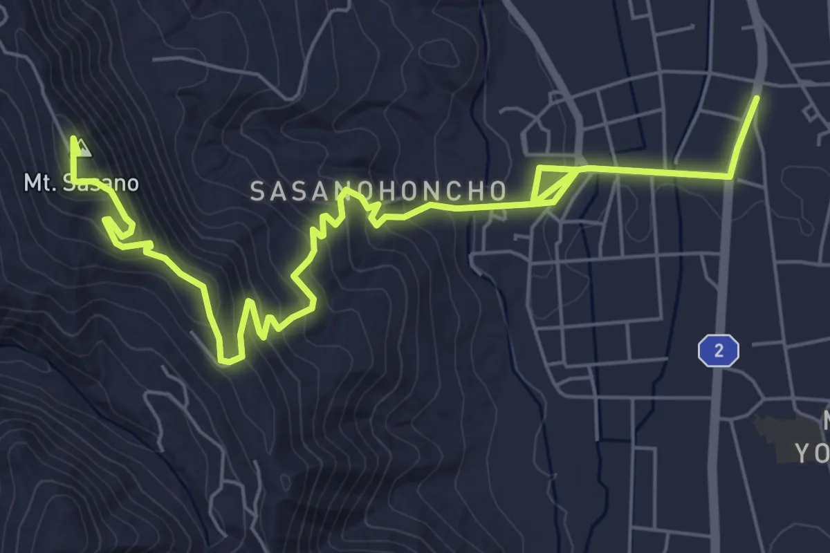
Medium · Summit
斜平の自然と笹野一刀彫を訪ねるみち
9.3 km · ↑ 430 m · 3 h 8 min
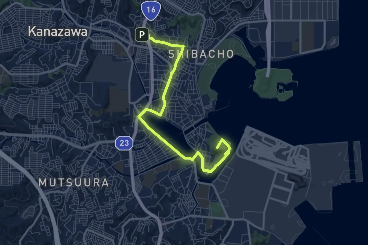
Medium · Summit
旧海岸線を感じながら歴史・海・緑をめぐる道
10.1 km · ↑ 133 m · 2 h 40 min
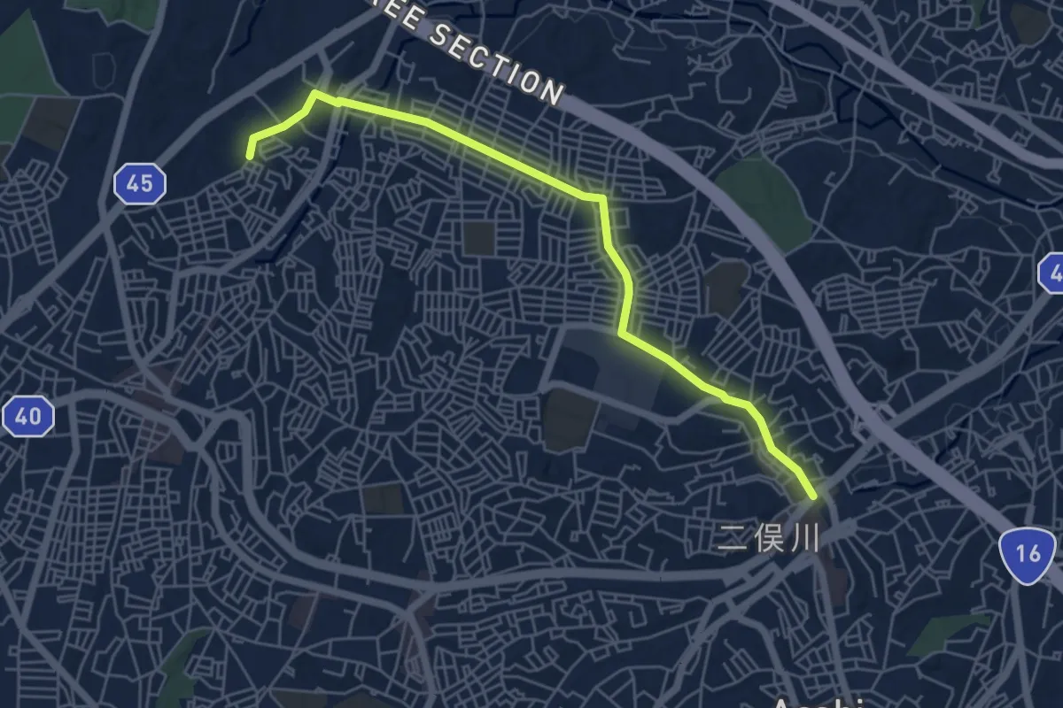
Easy · Trail
旭区グリーンロード ニュータウン並木道ルート
6.5 km · ↑ 103 m · 1 h 46 min
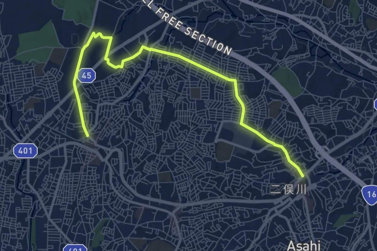
Medium · Trail
旭区グリーンロード 追分・矢指市民の森ルート
10.9 km · ↑ 195 m · 3 h
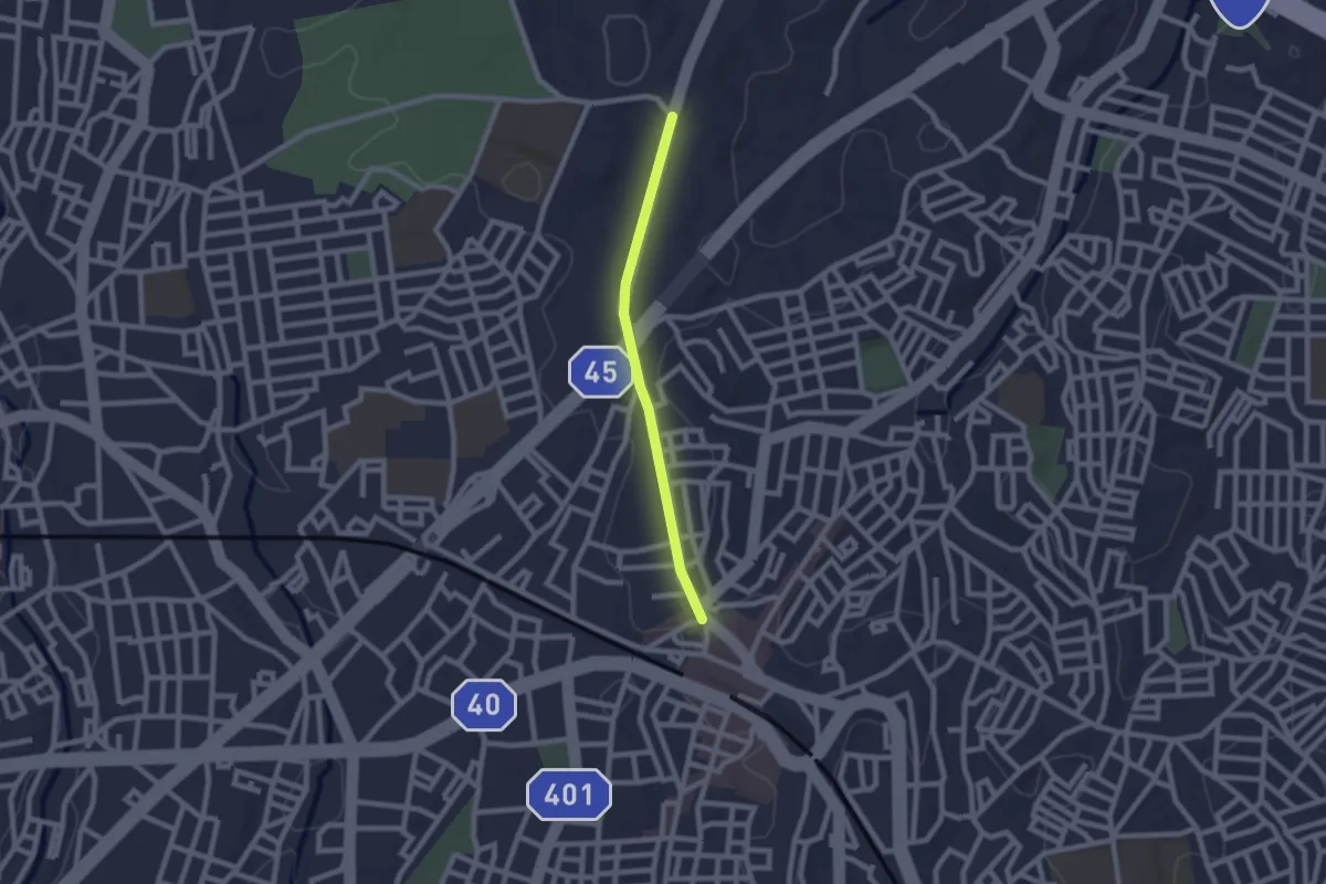
Easy · Trail
旭区グリーンロード 野境道路ルート
2.2 km · ↑ 13 m · 33 min
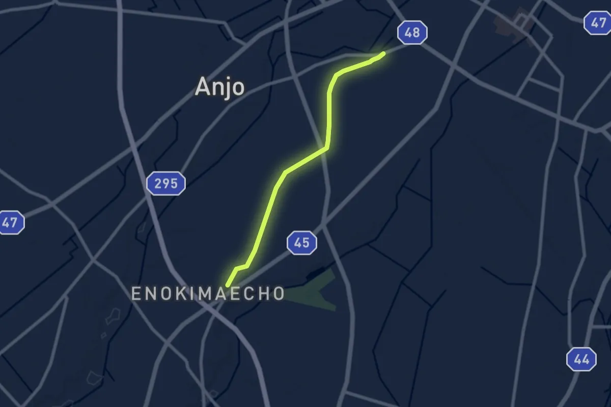
Easy · Trail
明治用水緑道花ノ木線
6.9 km · ↑ 42 m · 1 h 44 min
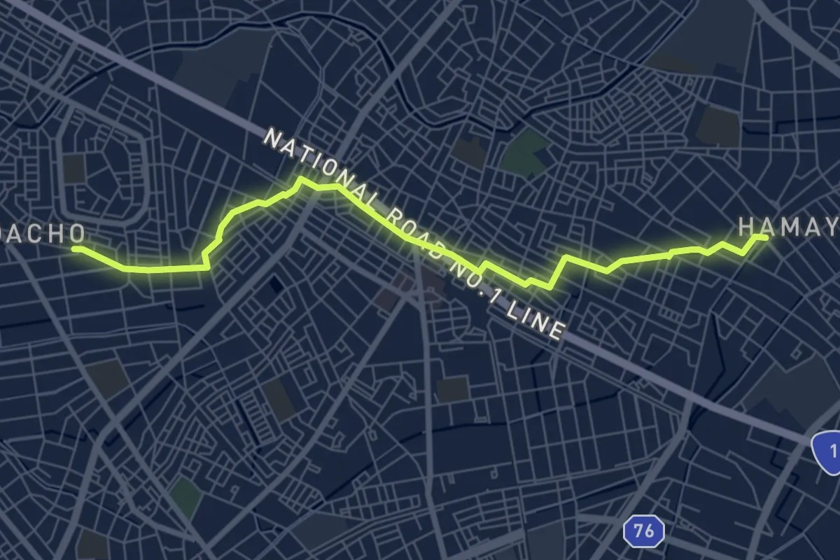
Medium · Trail
明治用水緑道西高根線
8.6 km · ↑ 50 m · 2 h 9 min
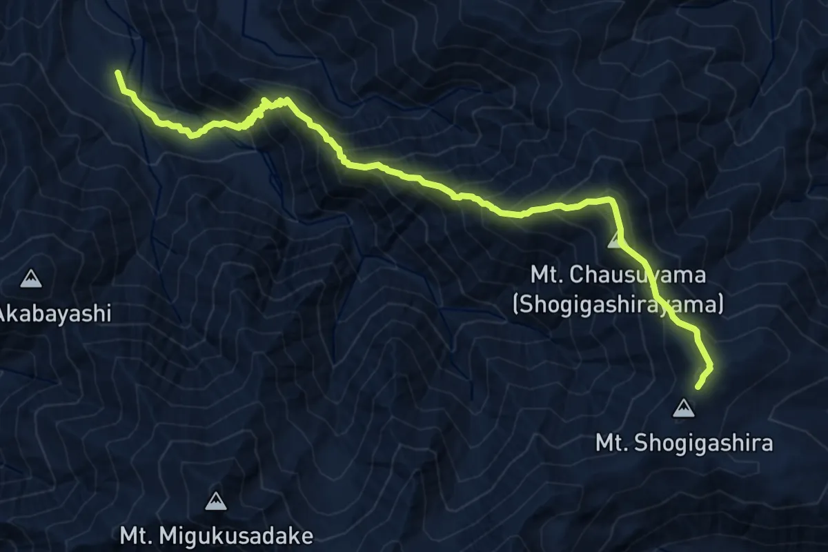
Demanding · Summit
木曽駒高原
6.8 km · ↑ 1419 m · 4 h 7 min
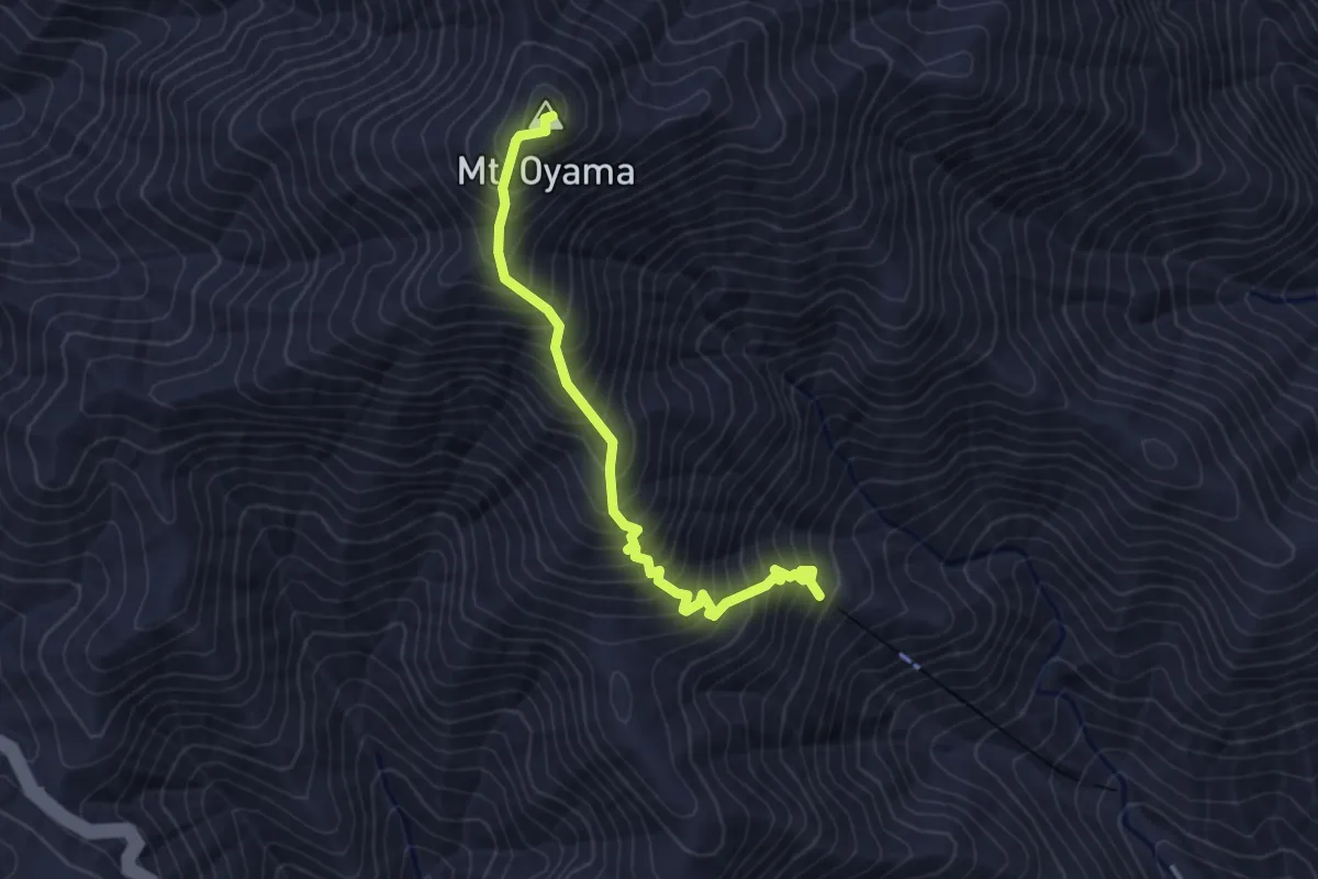
Medium · Summit
本坂
3.7 km · ↑ 531 m · 2 h 1 min
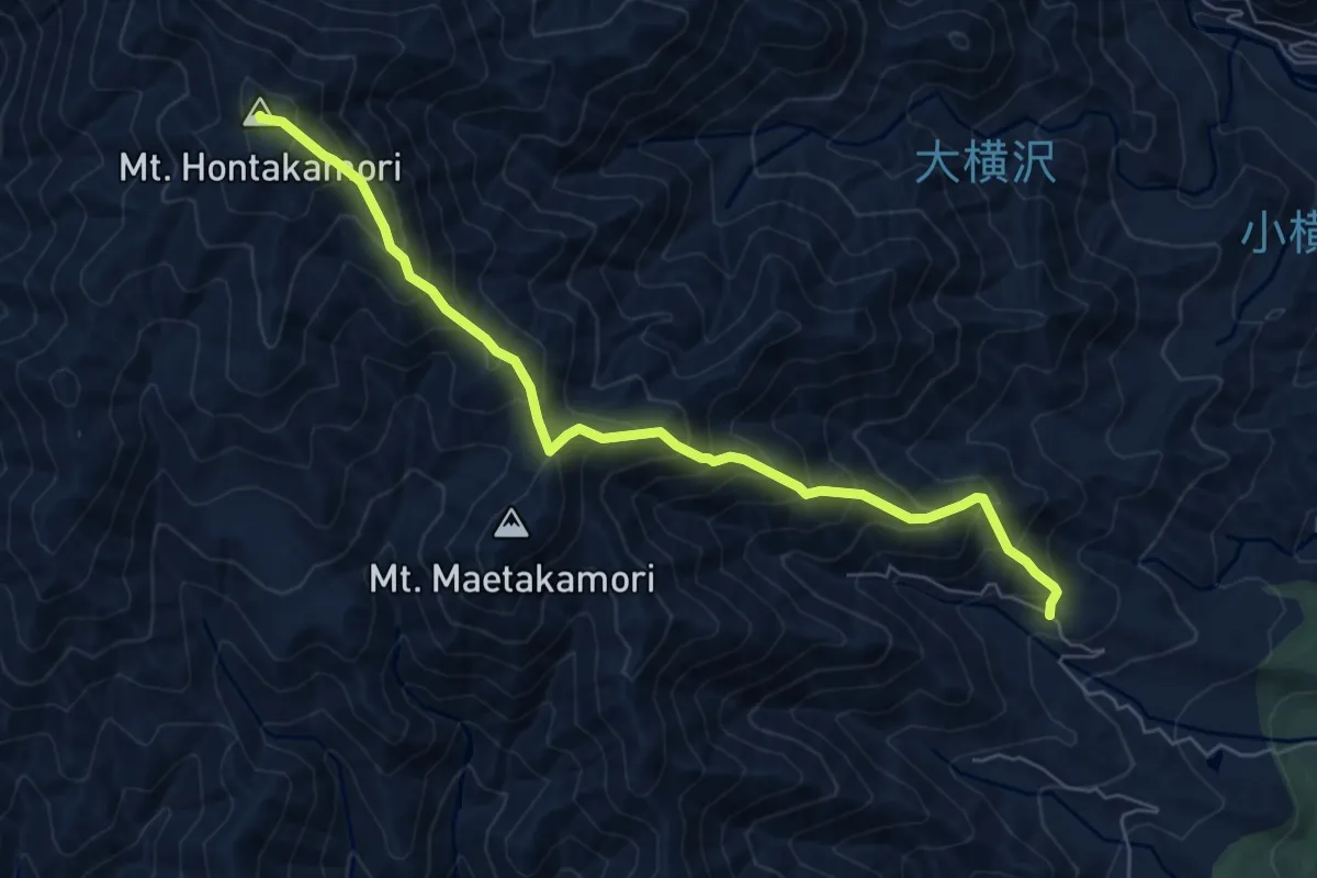
Demanding · Summit
本高森山ルート
7.6 km · ↑ 849 m · 3 h 39 min
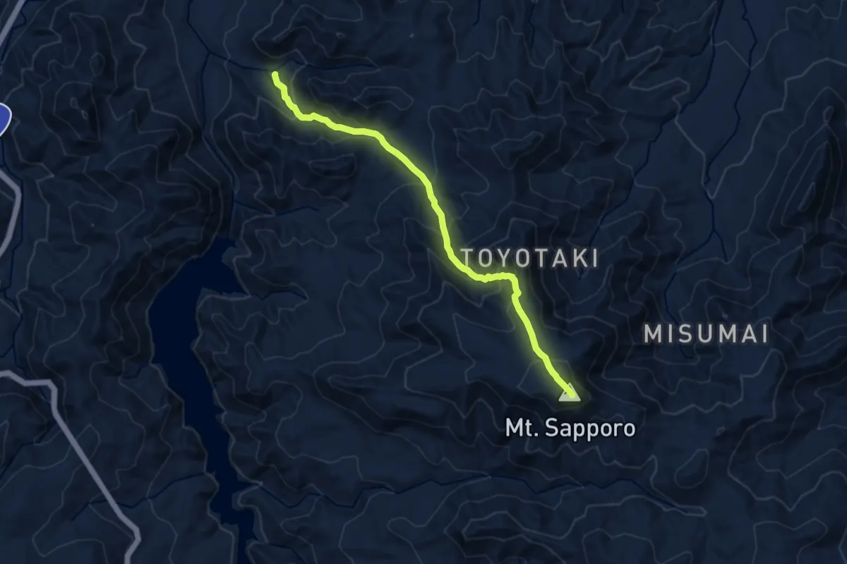
Demanding · Summit
札幌岳冷水ルート
11.0 km · ↑ 847 m · 4 h 26 min
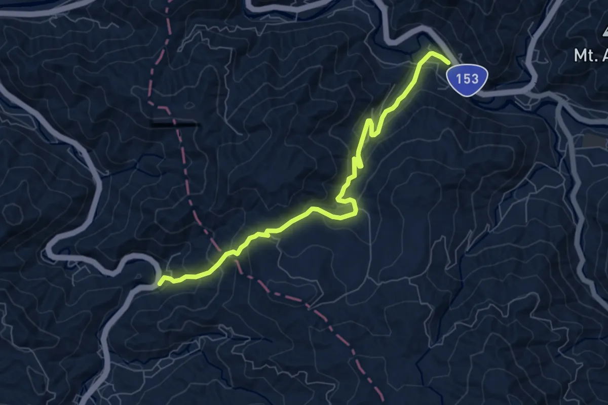
Medium · Trail
杣路峠
8.7 km · ↑ 527 m · 3 h 12 min
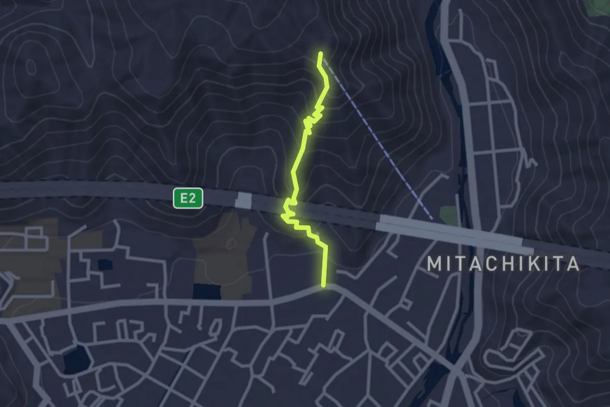
Medium · Trail
東坂
2.6 km · ↑ 214 m · 1 h 5 min
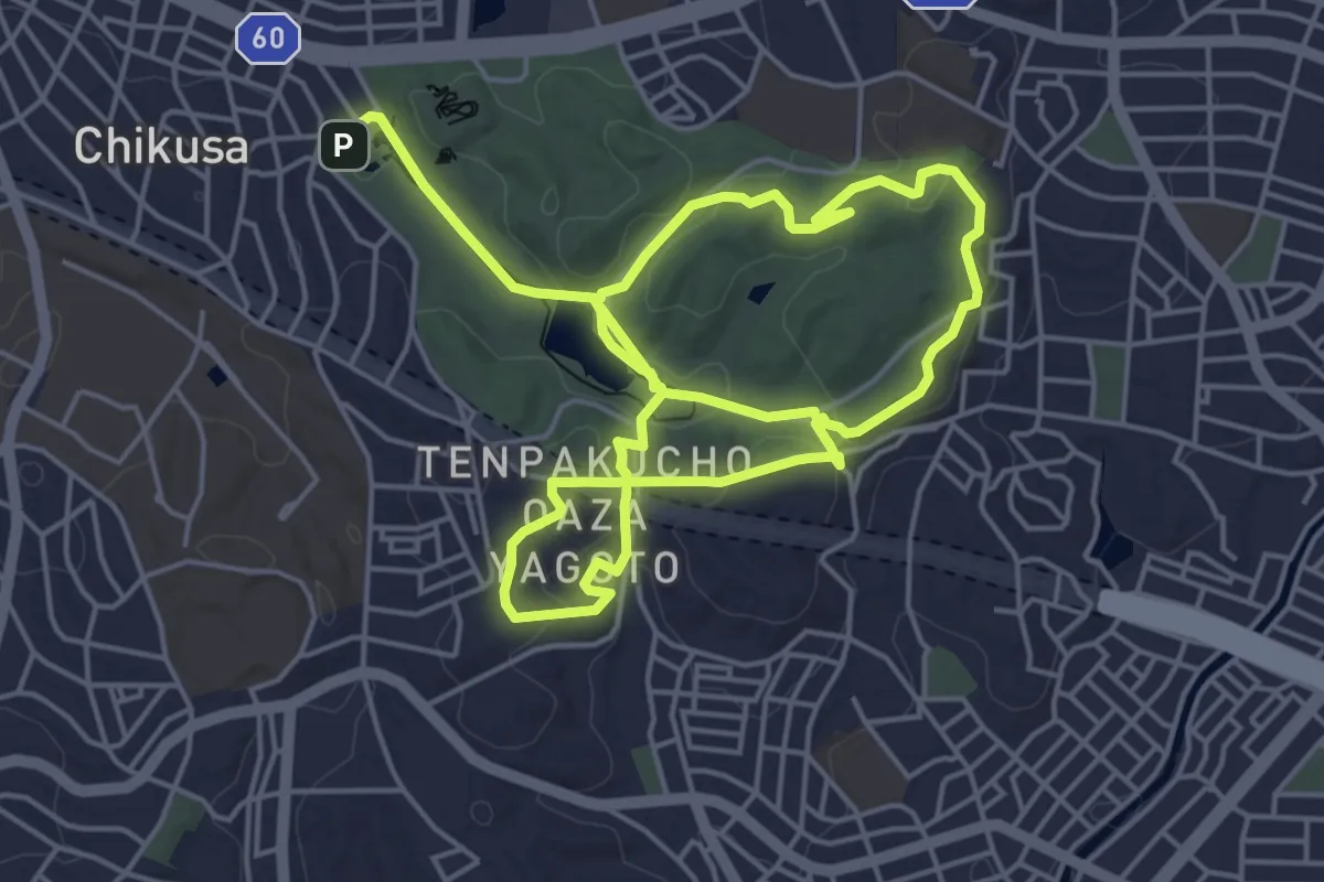
Medium · Trail
東山一万歩コース
11.1 km · ↑ 274 m · 3 h 13 min
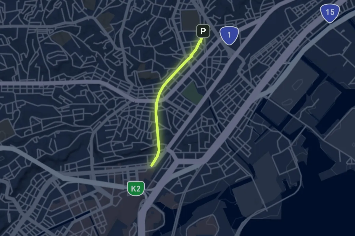
Easy · Trail
東横フラワー緑道
2.8 km · ↑ 60 m · 48 min
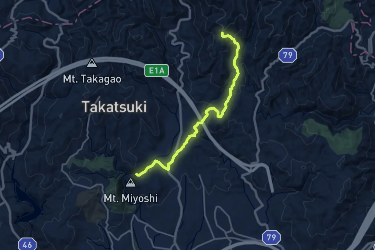
Medium · Trail
東海自然歩道
12.2 km · ↑ 493 m · 3 h 57 min
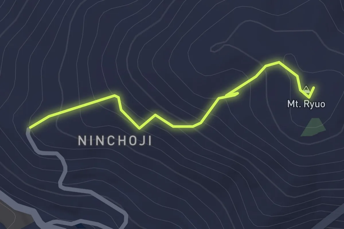
Easy · Summit
東海自然歩道
1.9 km · ↑ 133 m · 44 min
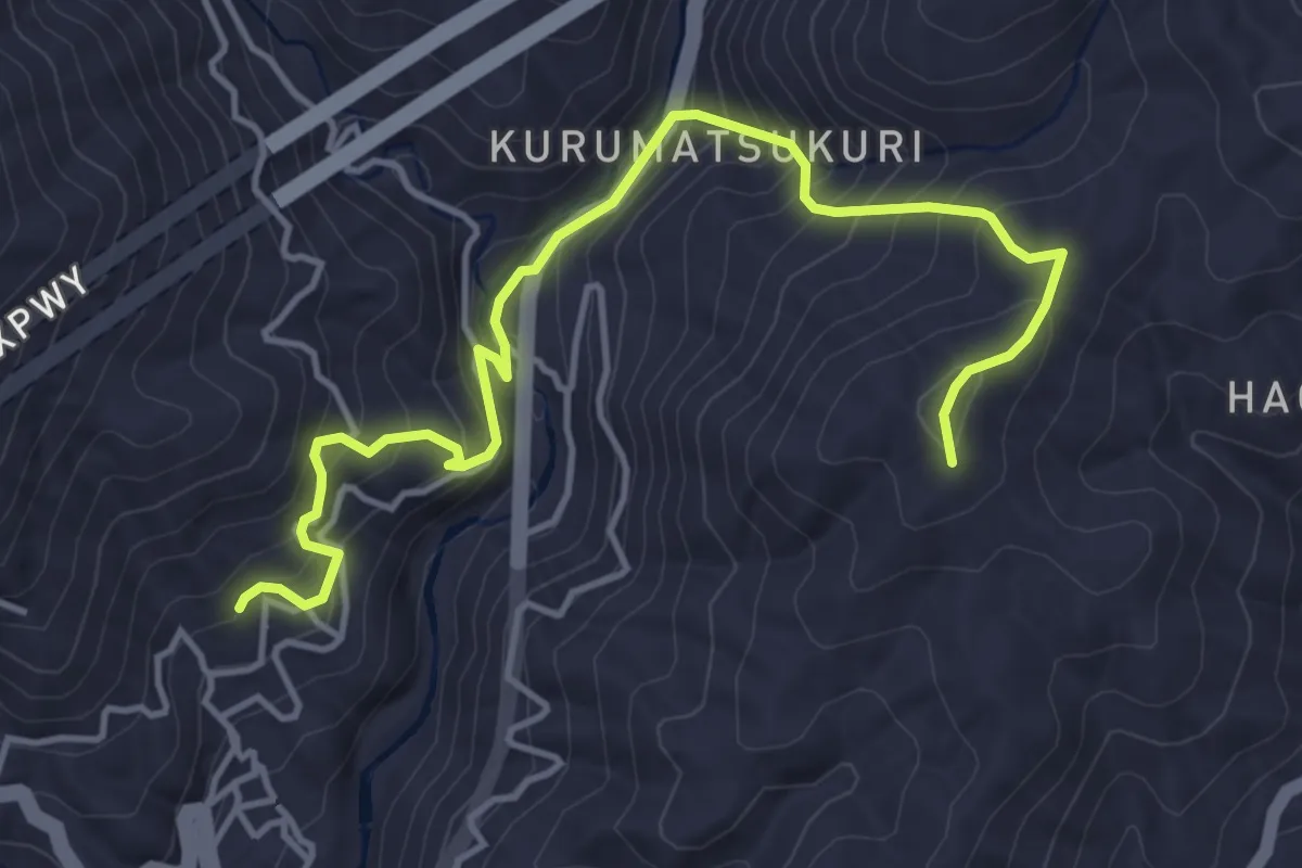
Medium · Trail
東海自然歩道
6.0 km · ↑ 477 m · 2 h 26 min