Trails near Andrijevica
18 hikes starting within 15 km, nearest first.
Nearest first
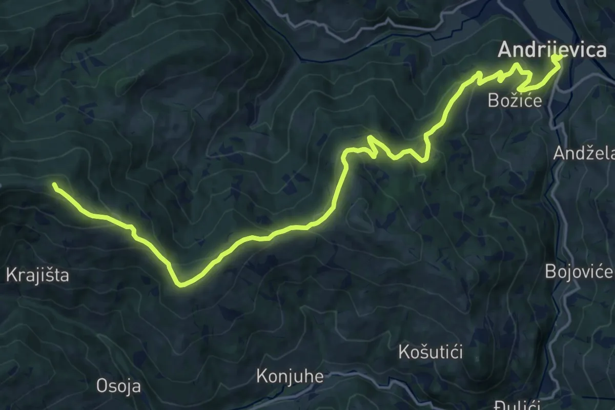
Demanding · Summit
Andrijevica - Komovi
22.0 km · ↑ 1056 m · 7 h 28 min · under 1 km away
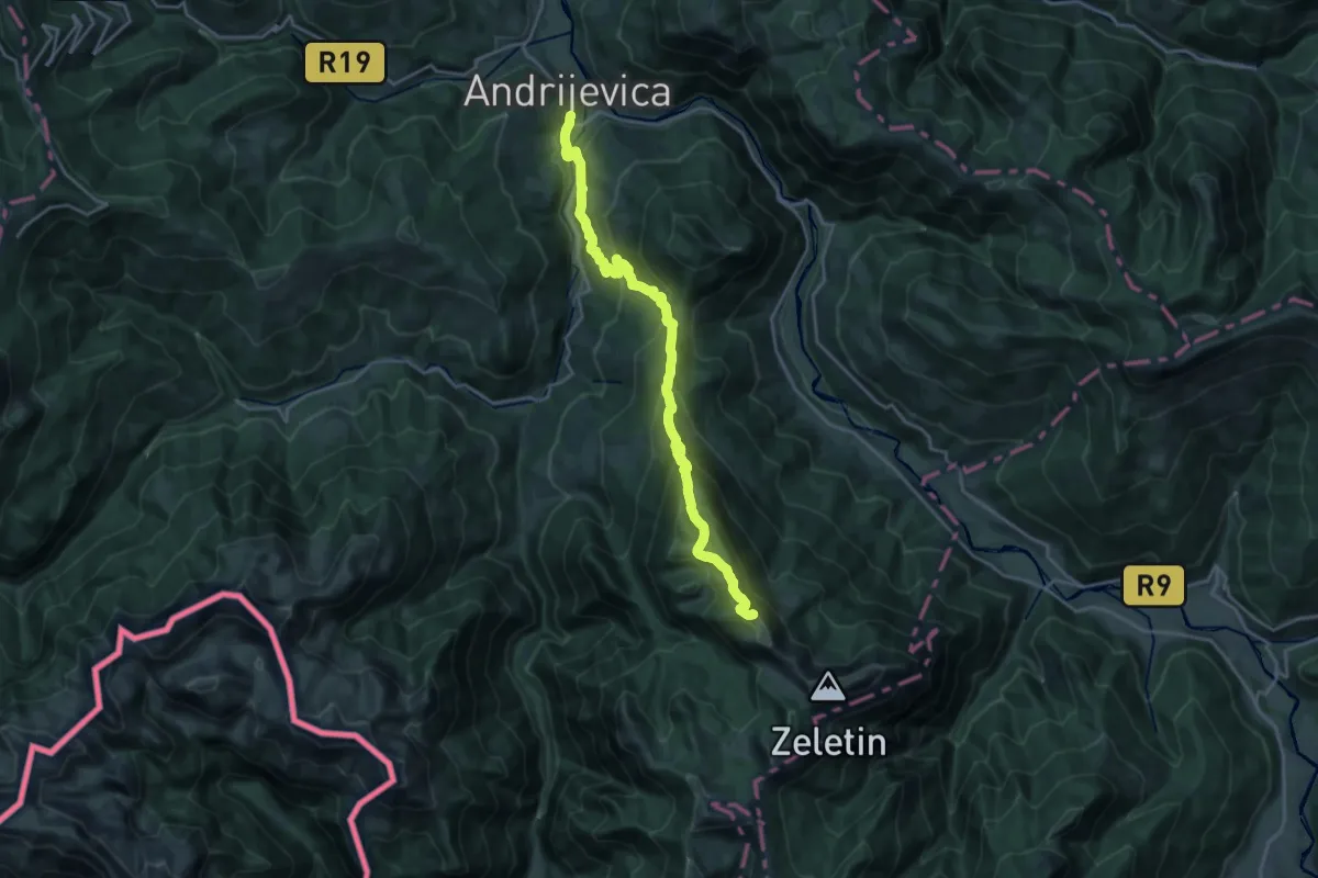
Demanding · Summit
Andrijevica - Zeletin - Visitor
22.4 km · ↑ 1367 m · 8 h 15 min · under 1 km away
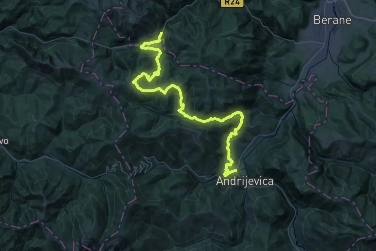
Demanding · Trail
Andrijevica - Gradišnica - Jelovica
29.1 km · ↑ 1301 m · 9 h 49 min · 1 km away
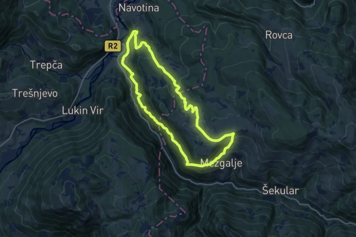
Medium · Summit
Countryside Hiking Trail CS16
12.3 km · ↑ 735 m · 4 h 40 min · 8 km away
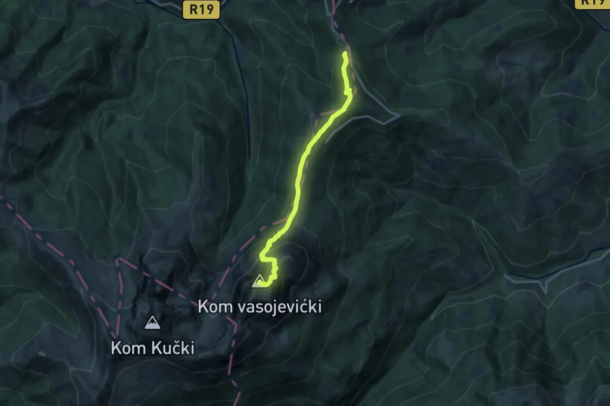
Expert · Summit
Štavna - Vaspjevićki Kom
12.1 km · ↑ 949 m · 4 h 54 min · 8 km away
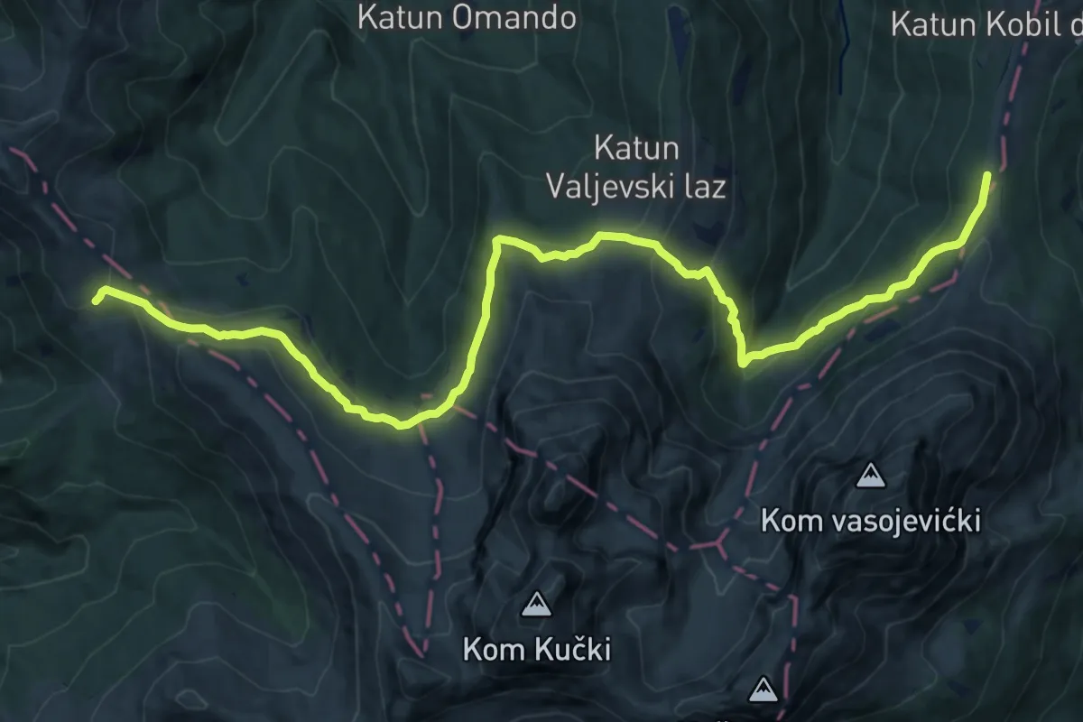
Medium · Trail
Štavna - Pajkov Vir
16.2 km · ↑ 696 m · 5 h 20 min · 10 km away
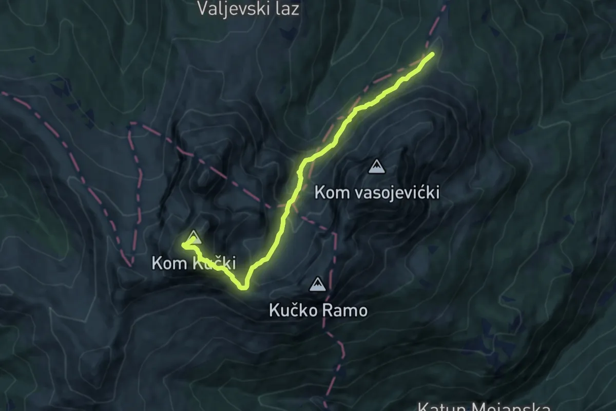
Expert · Summit
Štavna - Kučki Kom
9.8 km · ↑ 824 m · 4 h 5 min · 10 km away
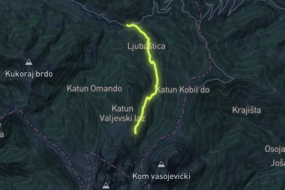
Medium · Trail
Han Drndarski - Ljuban
11.0 km · ↑ 575 m · 3 h 50 min · 12 km away
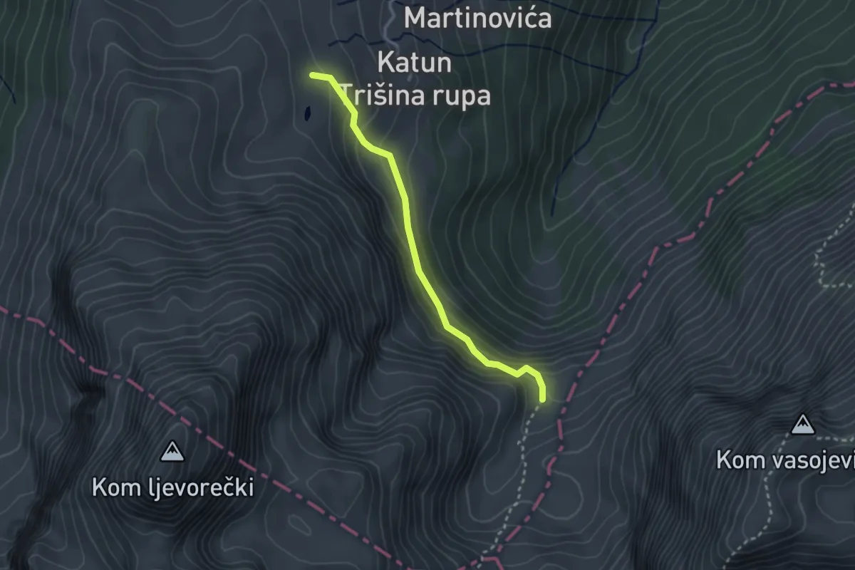
Easy · Trail
Međukomlje - Ljevorečki Kom (354)
2.8 km · ↑ 184 m · 1 h 3 min · 12 km away
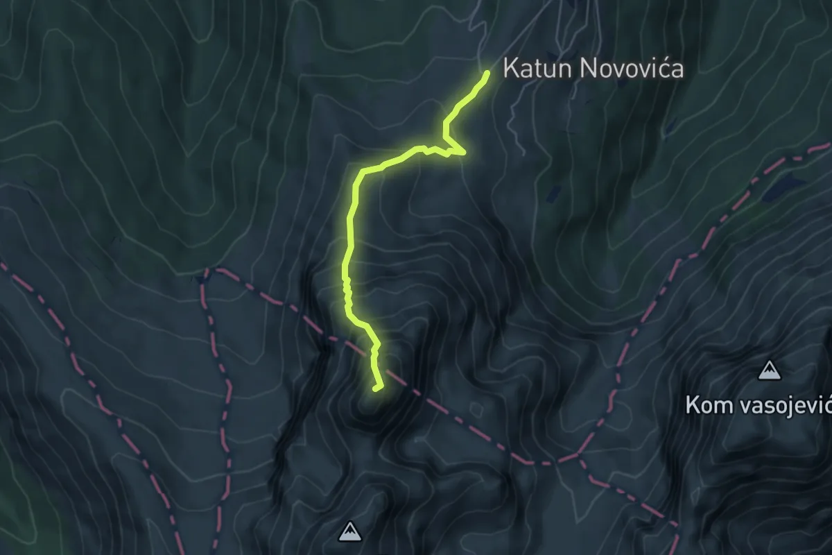
Medium · Summit
Ljuban - Ljevorečki Kom
4.6 km · ↑ 609 m · 2 h 25 min · 12 km away
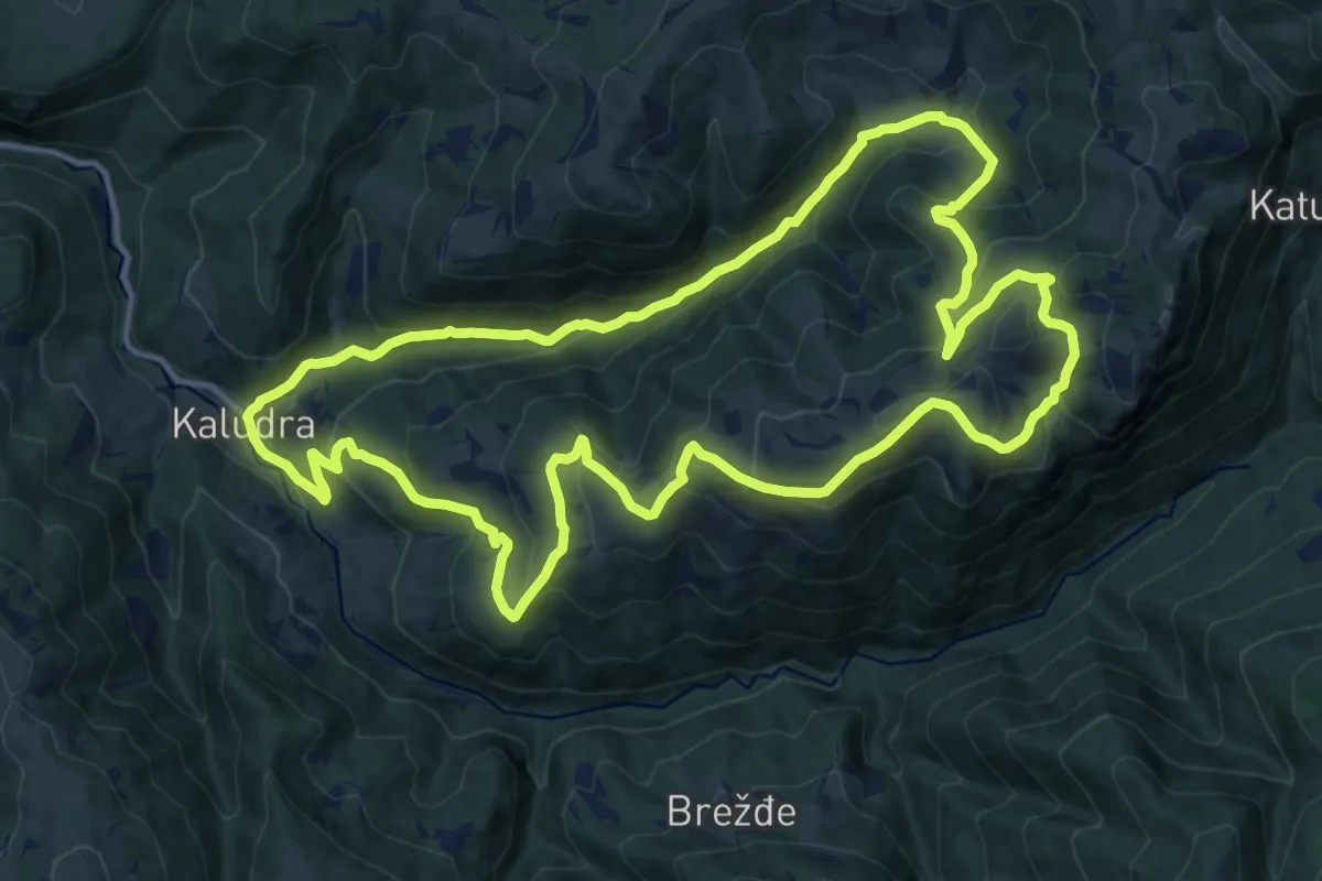
Demanding · Summit
Countryside Hiking Trail CS12
15.4 km · ↑ 896 m · 5 h 47 min · 13 km away
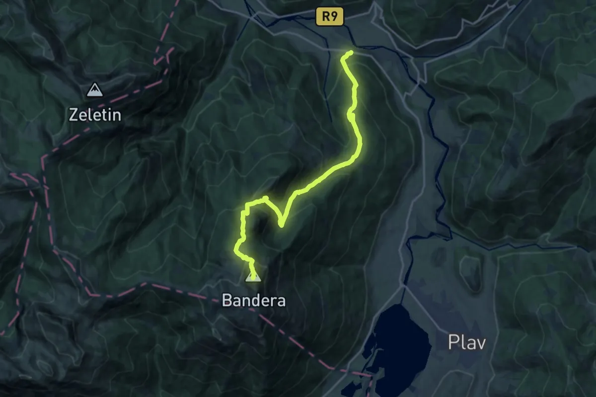
Demanding · Summit
Pepiće - Visitor
17.4 km · ↑ 1360 m · 7 h 4 min · 13 km away
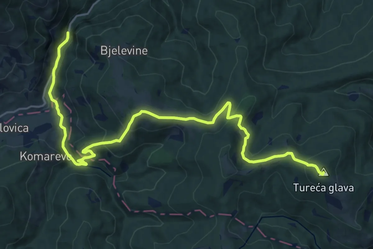
Demanding · Summit
Vinicka - Jelovica
18.7 km · ↑ 772 m · 6 h 6 min · 13 km away
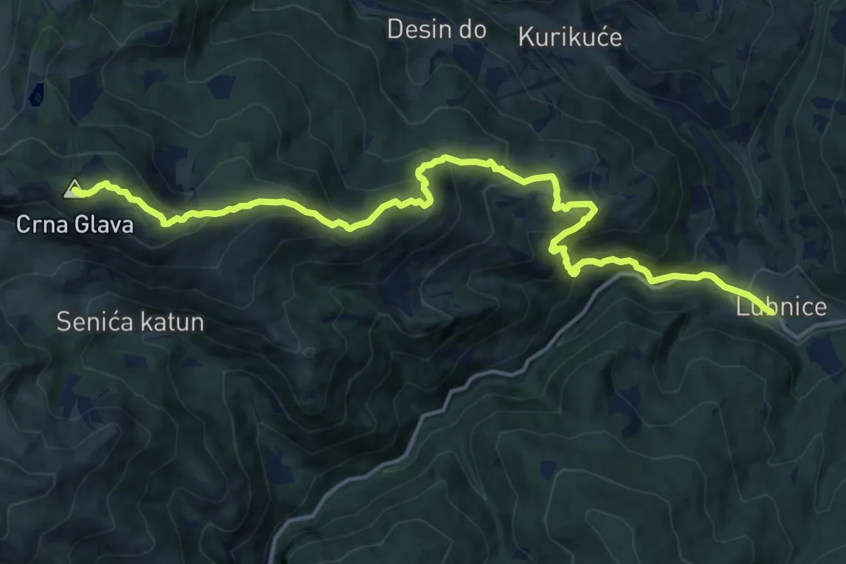
Demanding · Summit
Lubnice - Crna Glava
16.3 km · ↑ 1222 m · 6 h 30 min · 14 km away
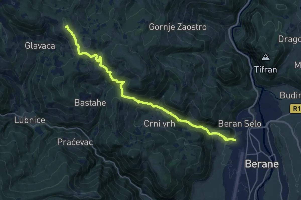
Demanding · Summit
Berane - Šiško jezero
19.1 km · ↑ 983 m · 6 h 38 min · 14 km away
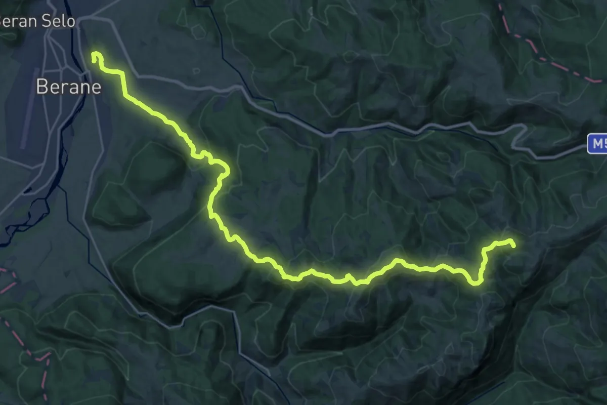
Demanding · Summit
Berane - Bogaje (Rožaje)
31.6 km · ↑ 1401 m · 10 h 29 min · 15 km away
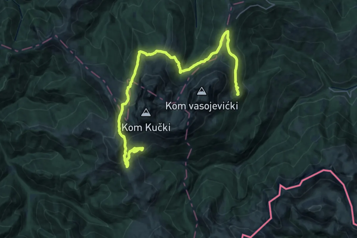
Demanding · Summit
Krug oko Komova
28.4 km · ↑ 1502 m · 9 h 57 min · 15 km away
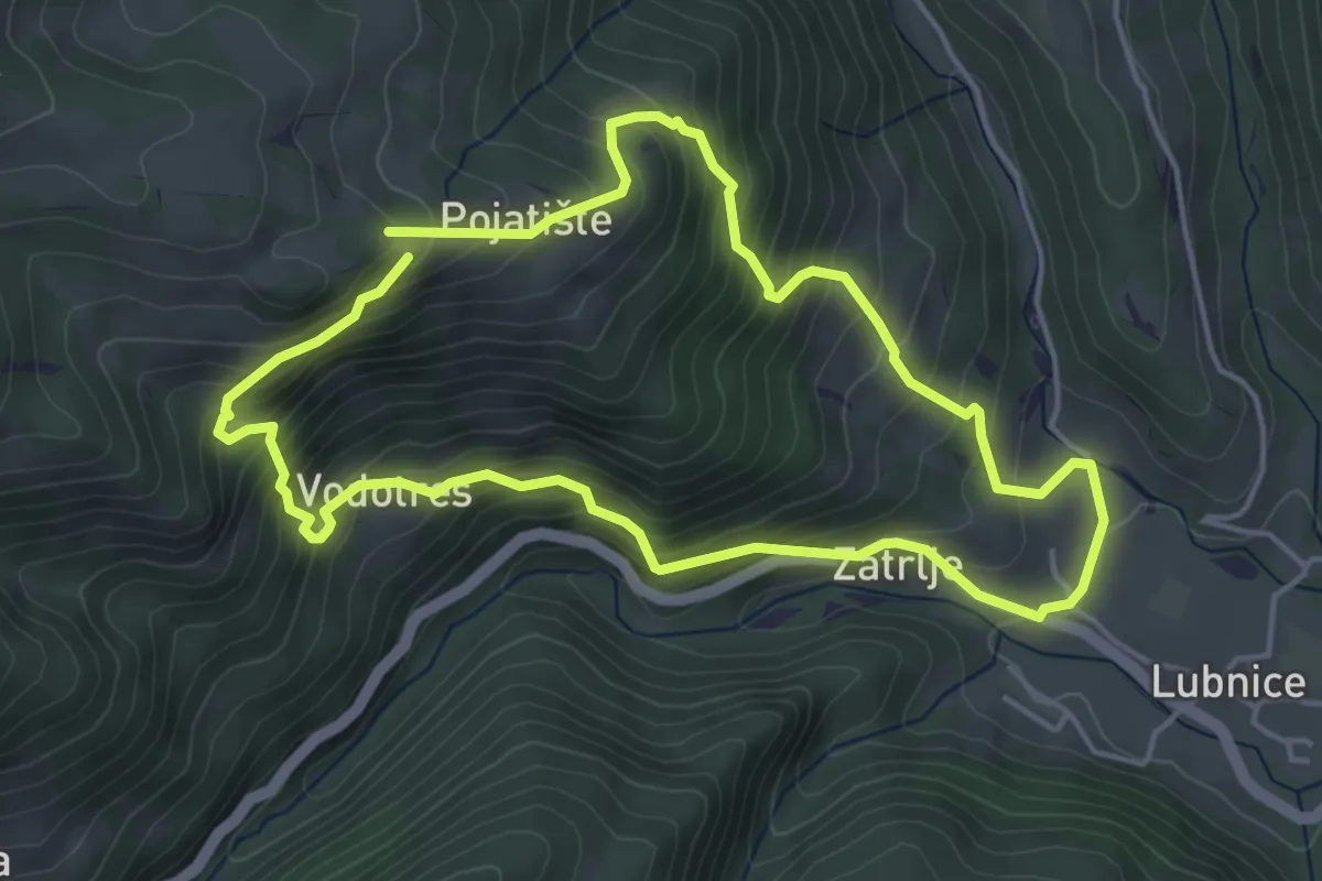
Medium · Trail
Countryside Hiking Trail CS7
4.7 km · ↑ 429 m · 2 h 6 min · 15 km away