Trails near Virpazar
27 hikes starting within 15 km, nearest first.
Nearest first
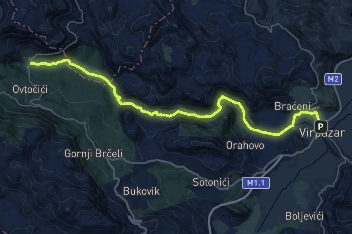
Demanding · Trail
Podgor - Virpazar
22.7 km · ↑ 493 m · 6 h 26 min · under 1 km away
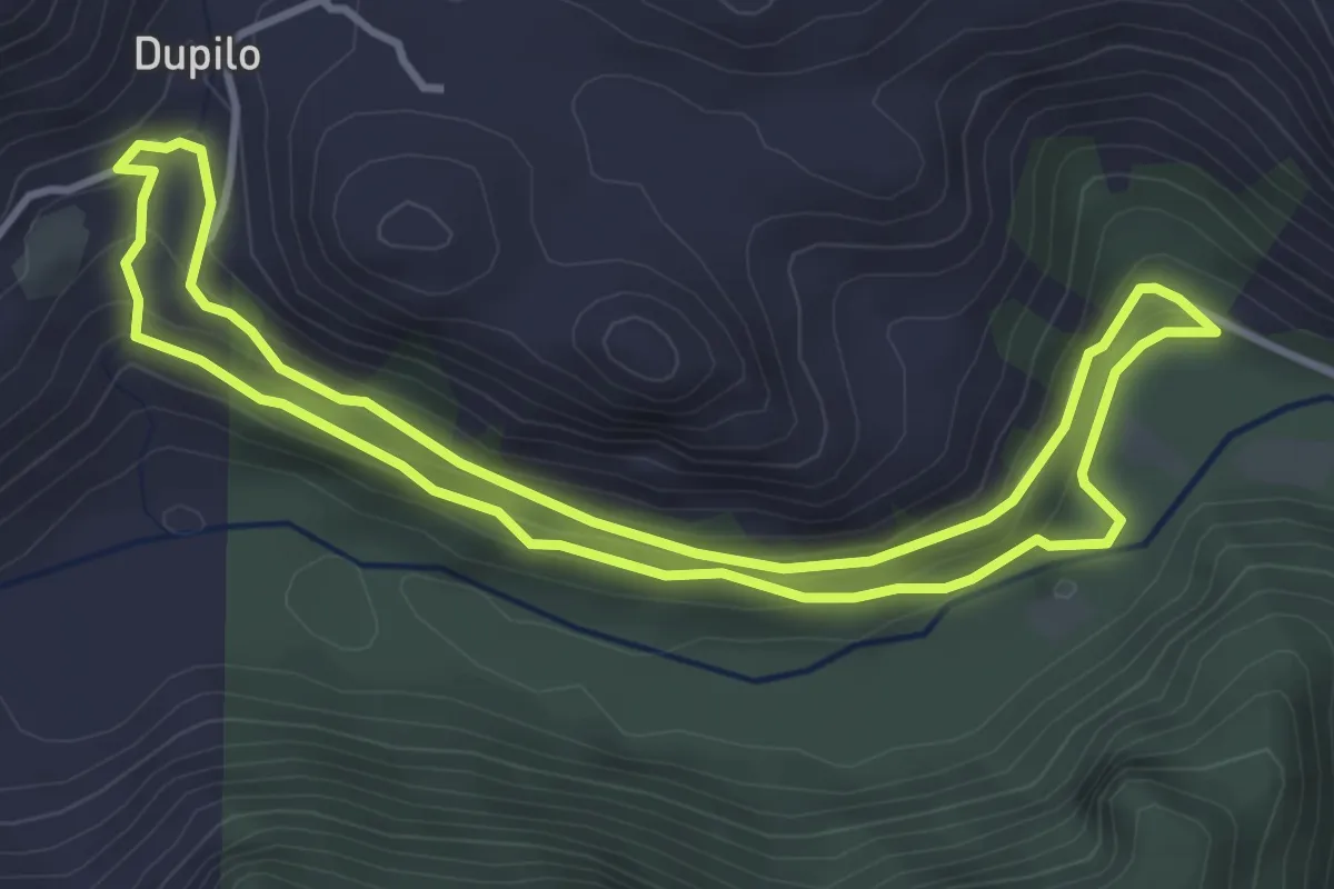
Easy · Trail
Babin most - Dupilo - Babin most
4.0 km · ↑ 187 m · 1 h 24 min · 3 km away
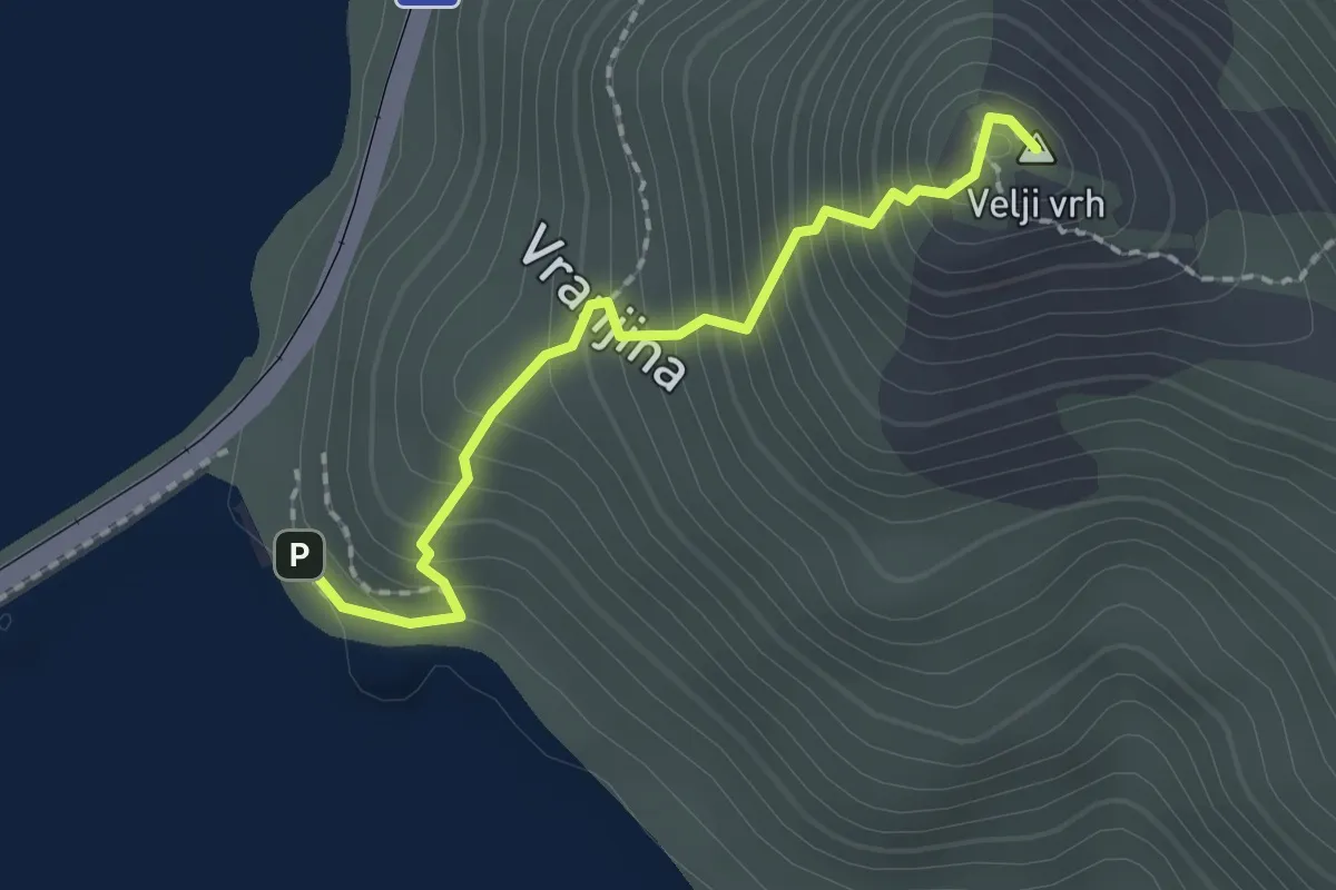
Demanding · Summit
Jezero – Velji vrh
2.0 km · ↑ 258 m · 1 h 2 min · 4 km away
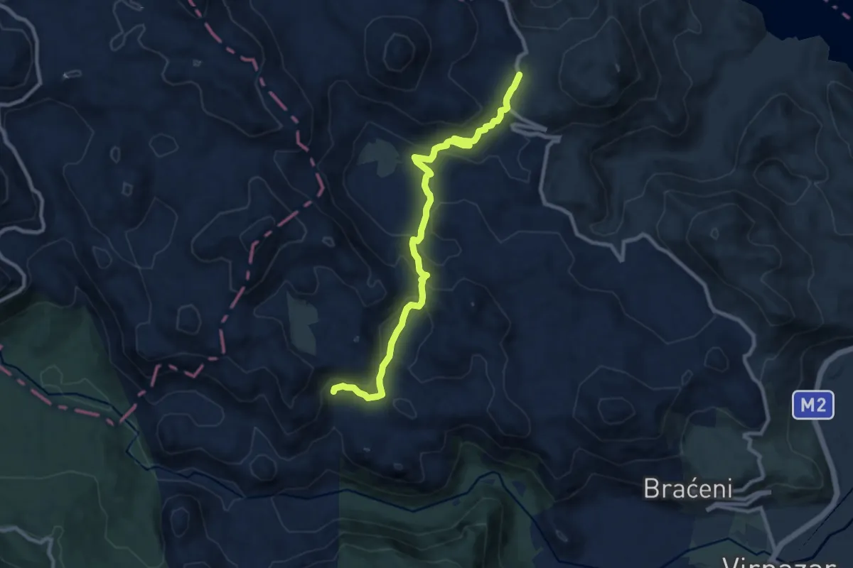
Medium · Trail
Dupilo - Komarno
10.0 km · ↑ 415 m · 3 h 15 min · 4 km away
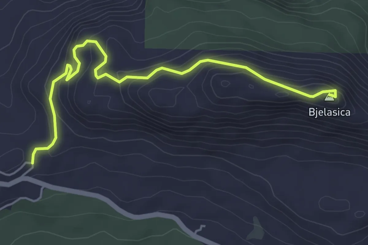
Medium · Summit
Brijege - Bjelasica
5.4 km · ↑ 342 m · 2 h 1 min · 5 km away
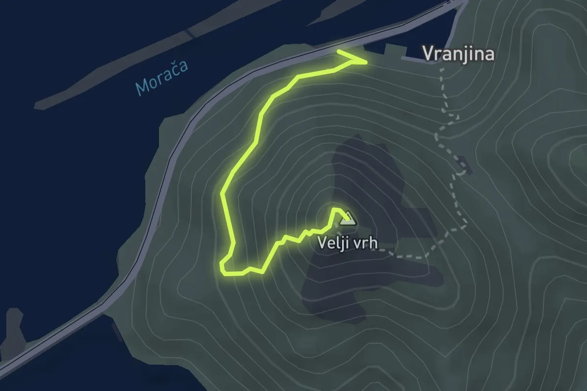
Demanding · Summit
Mala Venecia - Velji vrh
2.8 km · ↑ 296 m · 1 h 18 min · 5 km away
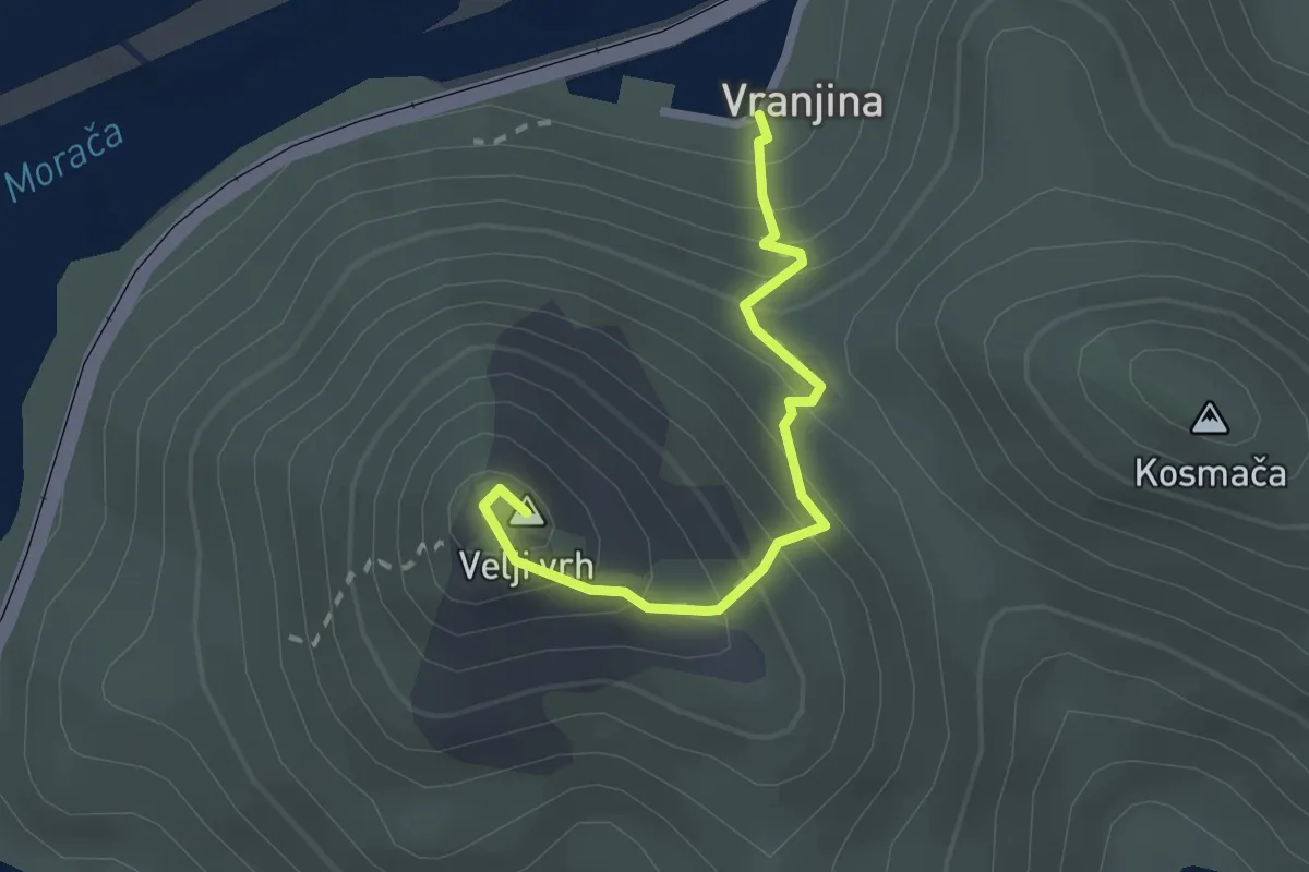
Demanding · Summit
Vranjina - Velji vrh
2.3 km · ↑ 260 m · 1 h 6 min · 5 km away
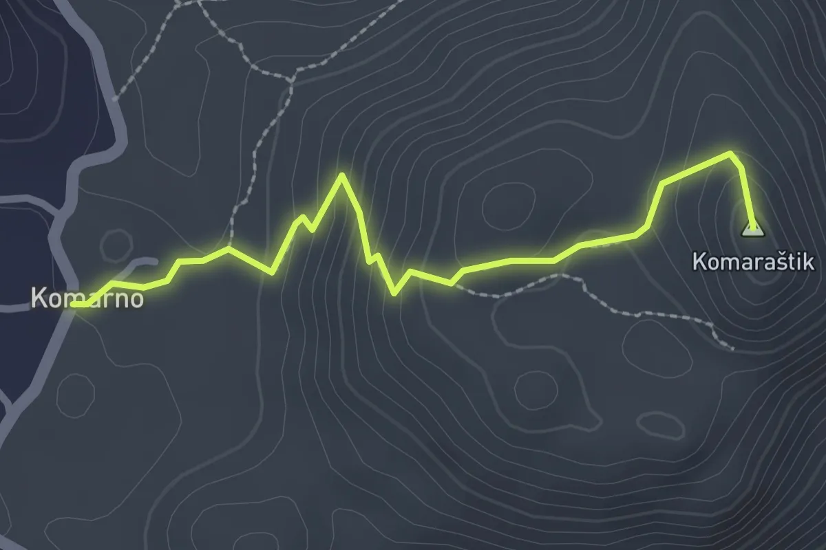
Easy · Summit
790T Komarno - Komaraštik
2.6 km · ↑ 149 m · 57 min · 5 km away
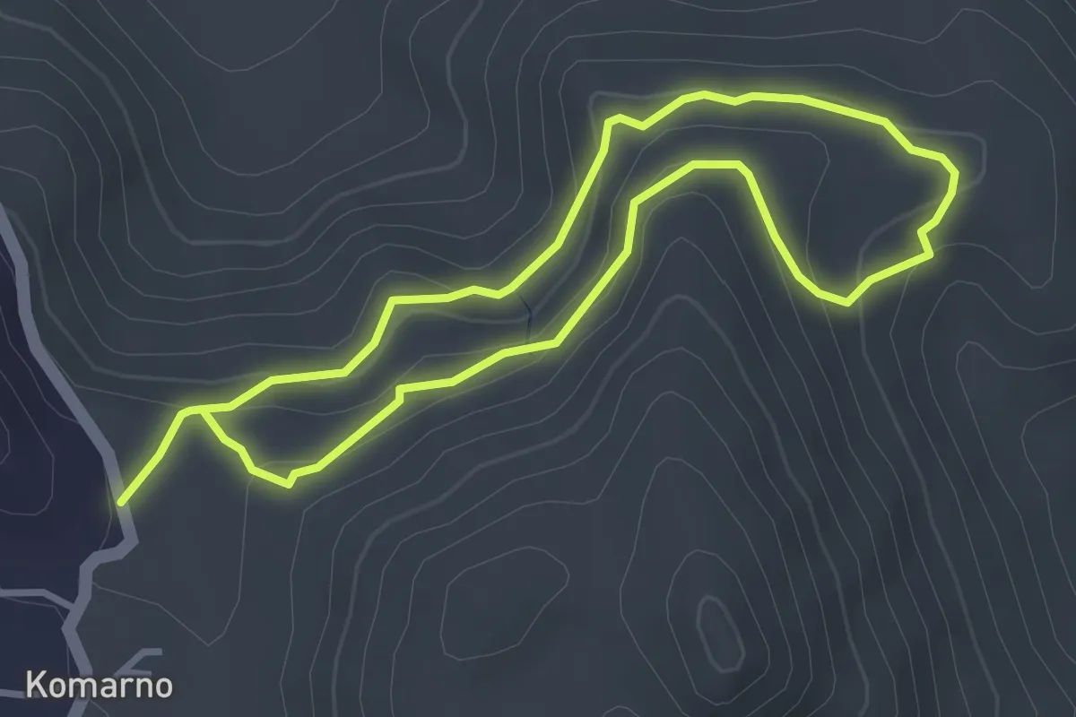
Easy · Trail
Zaboj
3.1 km · ↑ 122 m · 1 h 3 min · 5 km away
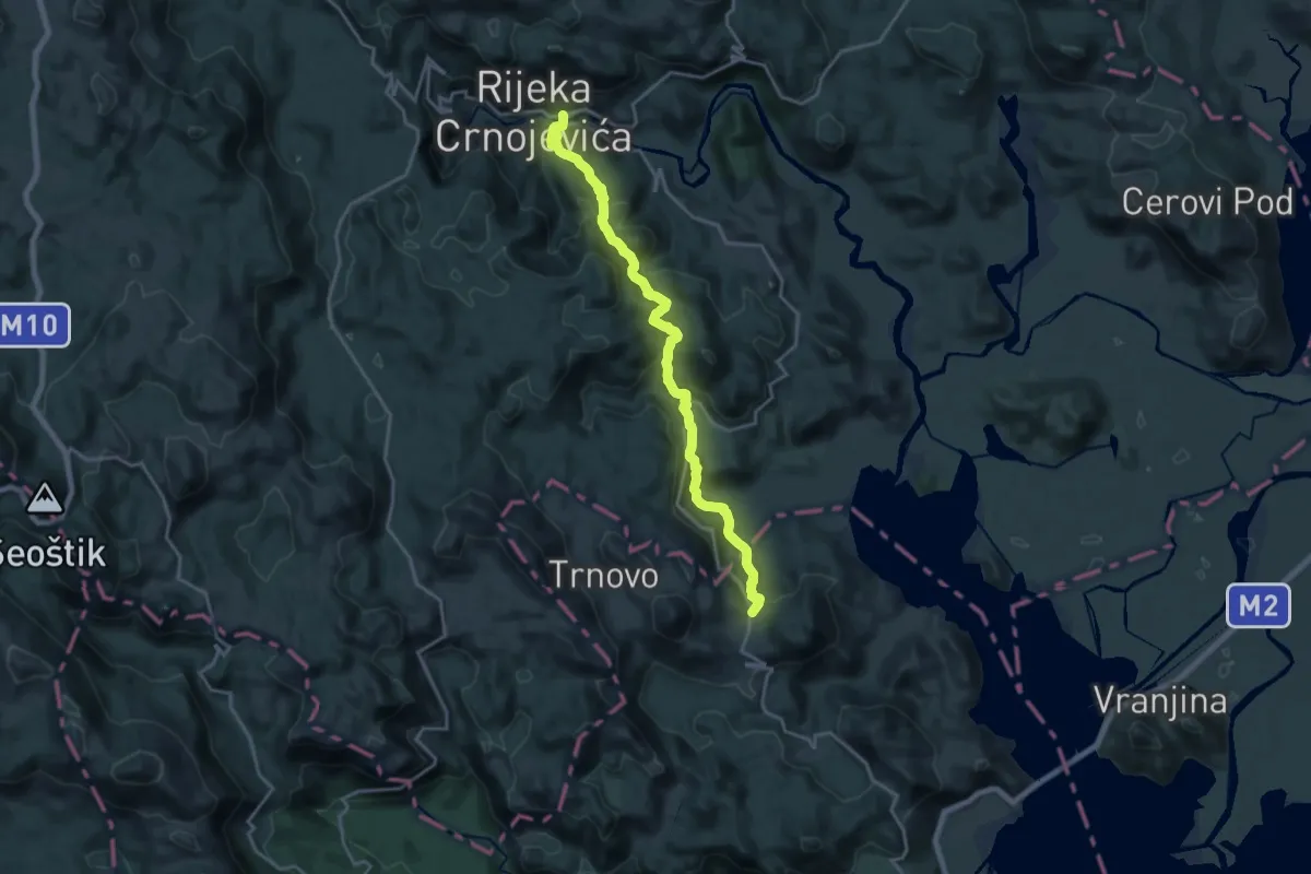
Demanding · Trail
792B Komarno - Rijeka Crnoevića
20.1 km · ↑ 1060 m · 7 h 2 min · 5 km away
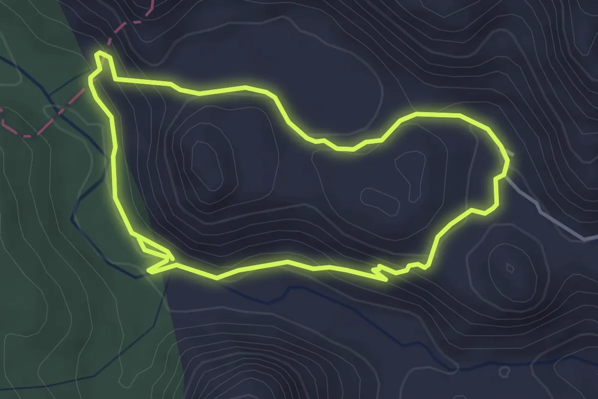
Easy · Trail
Šuplja stijena - Opačac
3.7 km · ↑ 153 m · 1 h 15 min · 6 km away
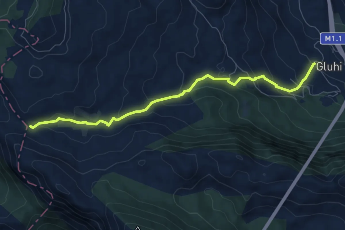
Medium · Cabin
Gluhi Do – Presjeka
7.9 km · ↑ 416 m · 2 h 46 min · 6 km away
Easy · Trail
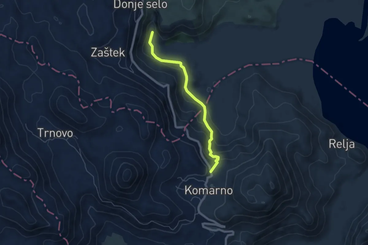
792D Komarno - Poseljani
5.3 km · ↑ 291 m · 1 h 53 min · 8 km away
Easy · Trail
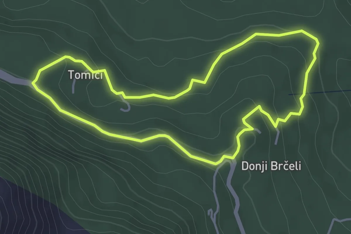
Donji Brčeli - Tomići - Donji Brčeli
3.9 km · ↑ 111 m · 1 h 13 min · 8 km away
Medium · Summit
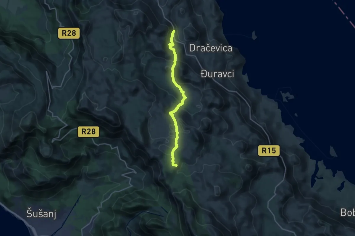
Baltina - Gornji Šestani
15.9 km · ↑ 606 m · 5 h 3 min · 9 km away
Demanding · Summit
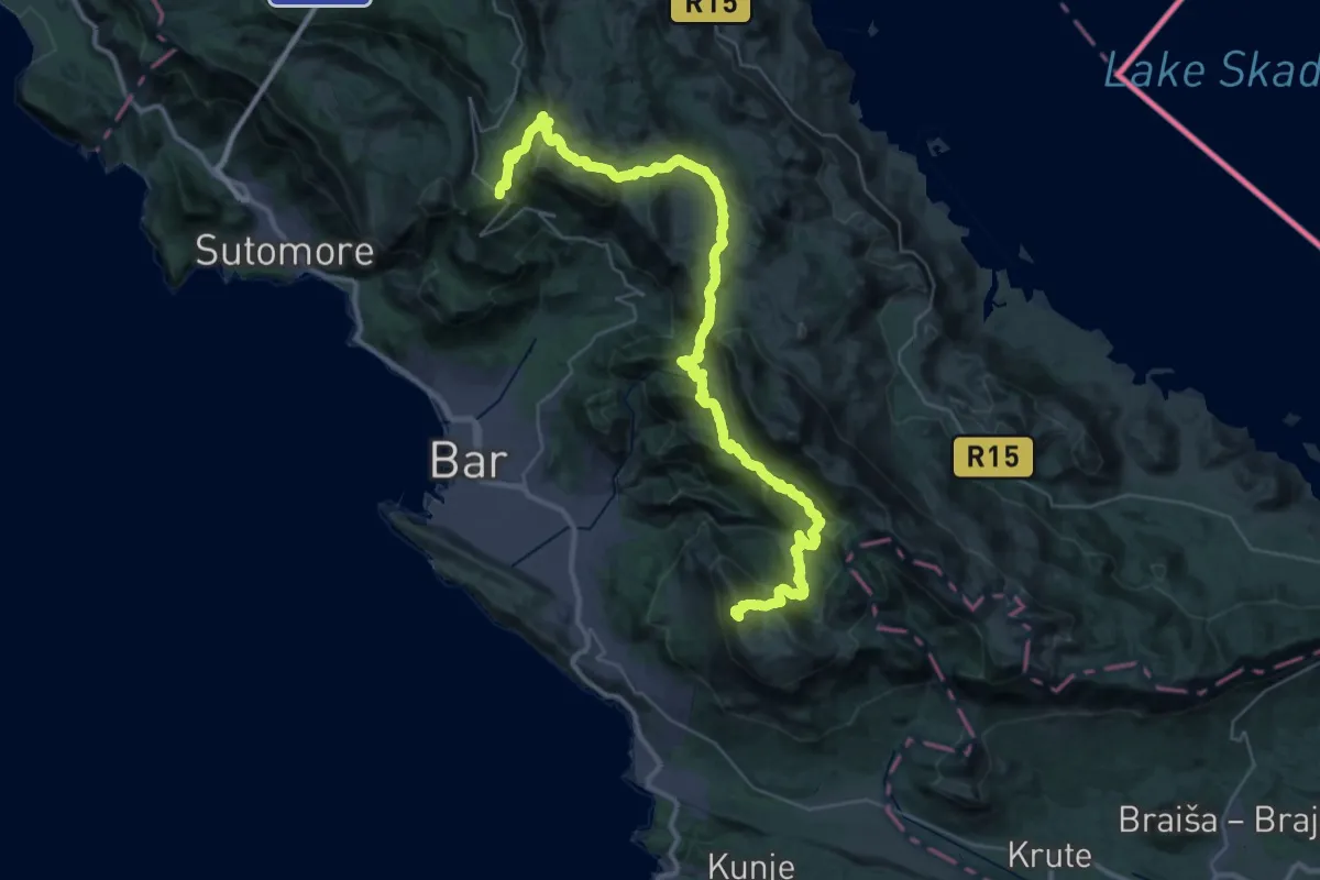
Lunje - Sutorman
51.0 km · ↑ 2436 m · 17 h 19 min · 10 km away
Medium · Summit
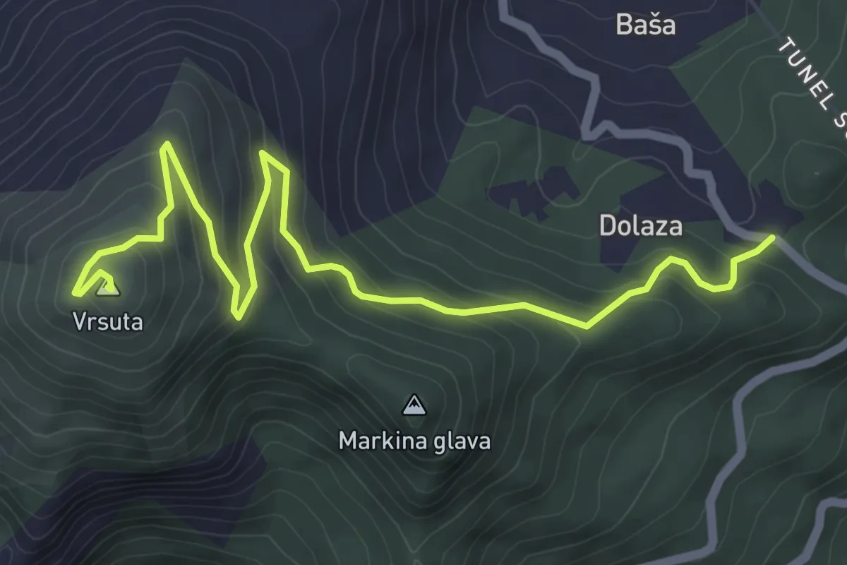
Sutorman - m. Vrsuta
6.3 km · ↑ 415 m · 2 h 23 min · 10 km away
Medium · Cabin
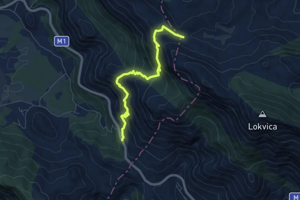
Presjeka – M-1 Road
7.3 km · ↑ 630 m · 3 h 5 min · 11 km away
Demanding · Summit
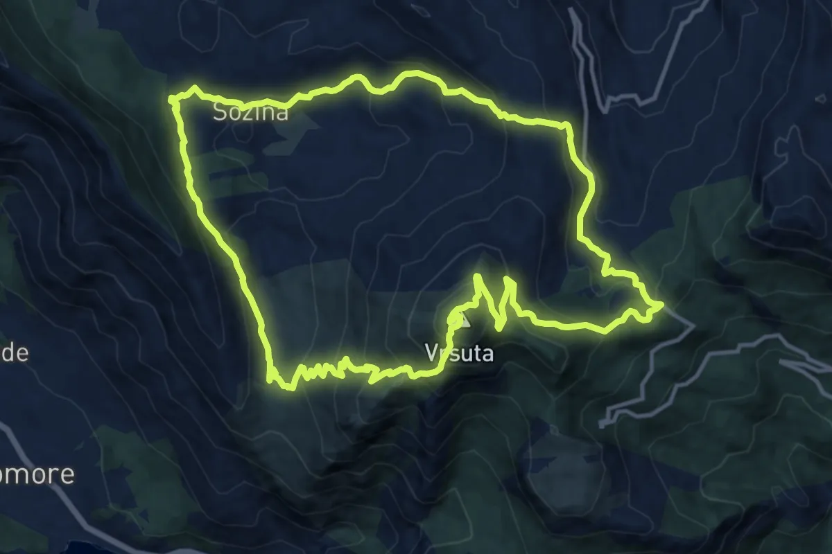
Partisan staza
14.0 km · ↑ 900 m · 5 h 27 min · 11 km away
Medium · Trail
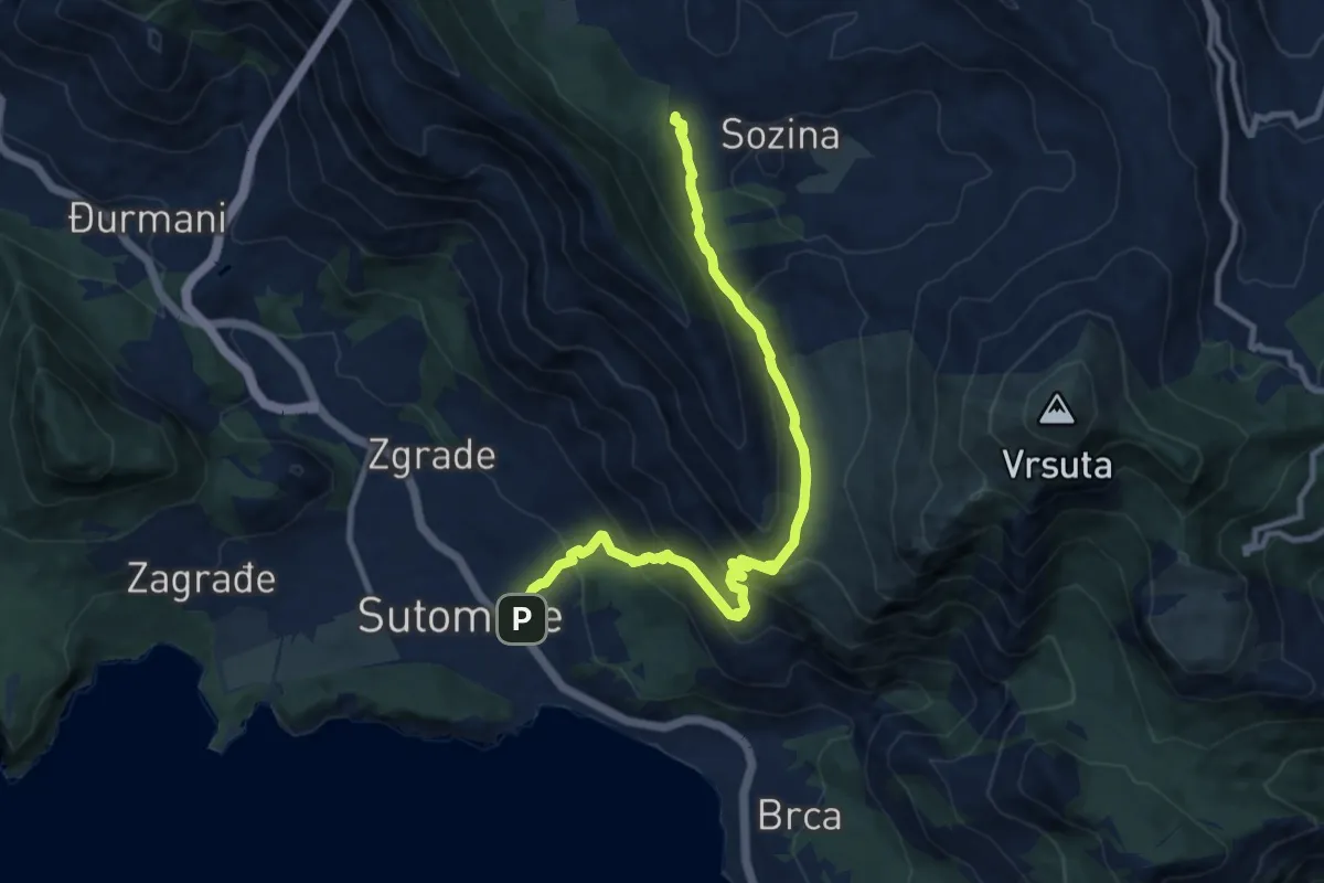
Sutomore - Popov Do (PPT)
11.6 km · ↑ 722 m · 4 h 18 min · 12 km away
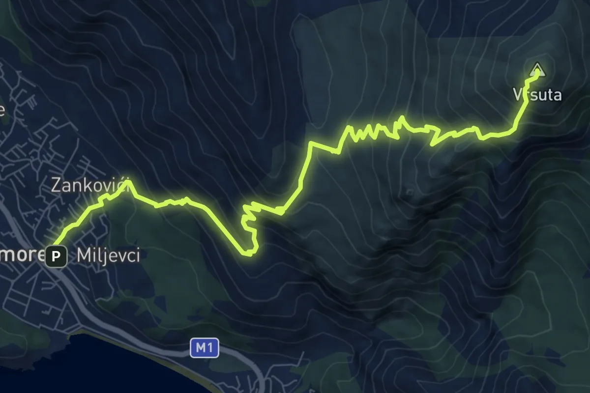
Demanding · Summit
Sutorman - Sutomore
12.1 km · ↑ 1160 m · 5 h 23 min · 12 km away
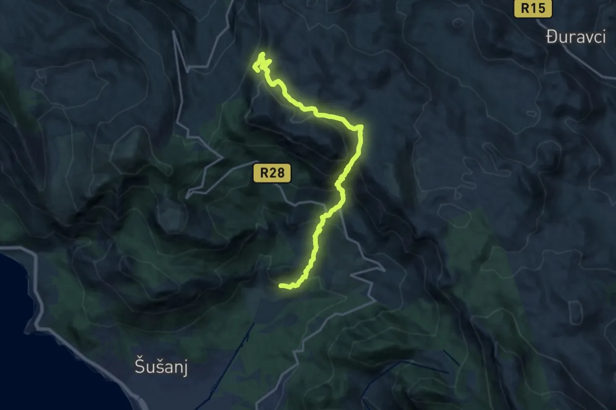
Demanding · Summit
Sutorman - Zupci
16.0 km · ↑ 1188 m · 6 h 22 min · 13 km away
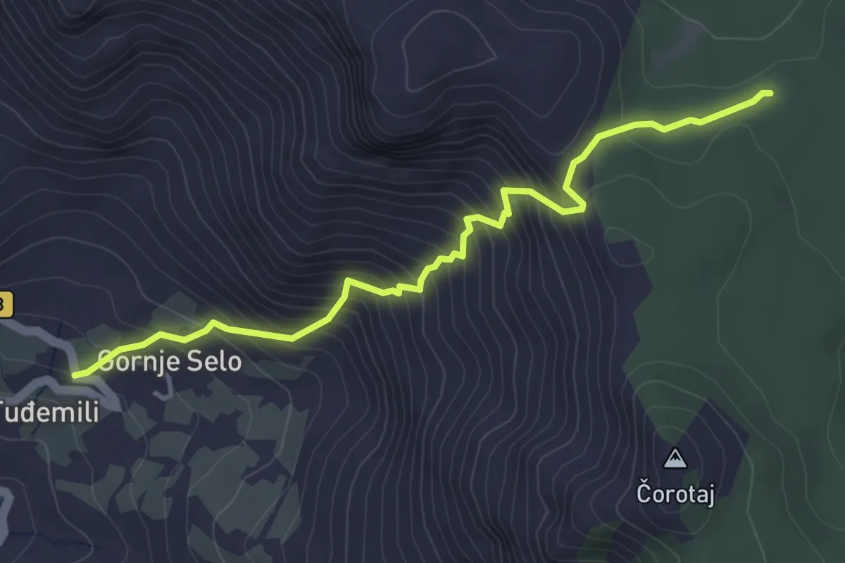
Medium · Trail
Tuđemili - PPT
4.4 km · ↑ 546 m · 2 h 14 min · 13 km away
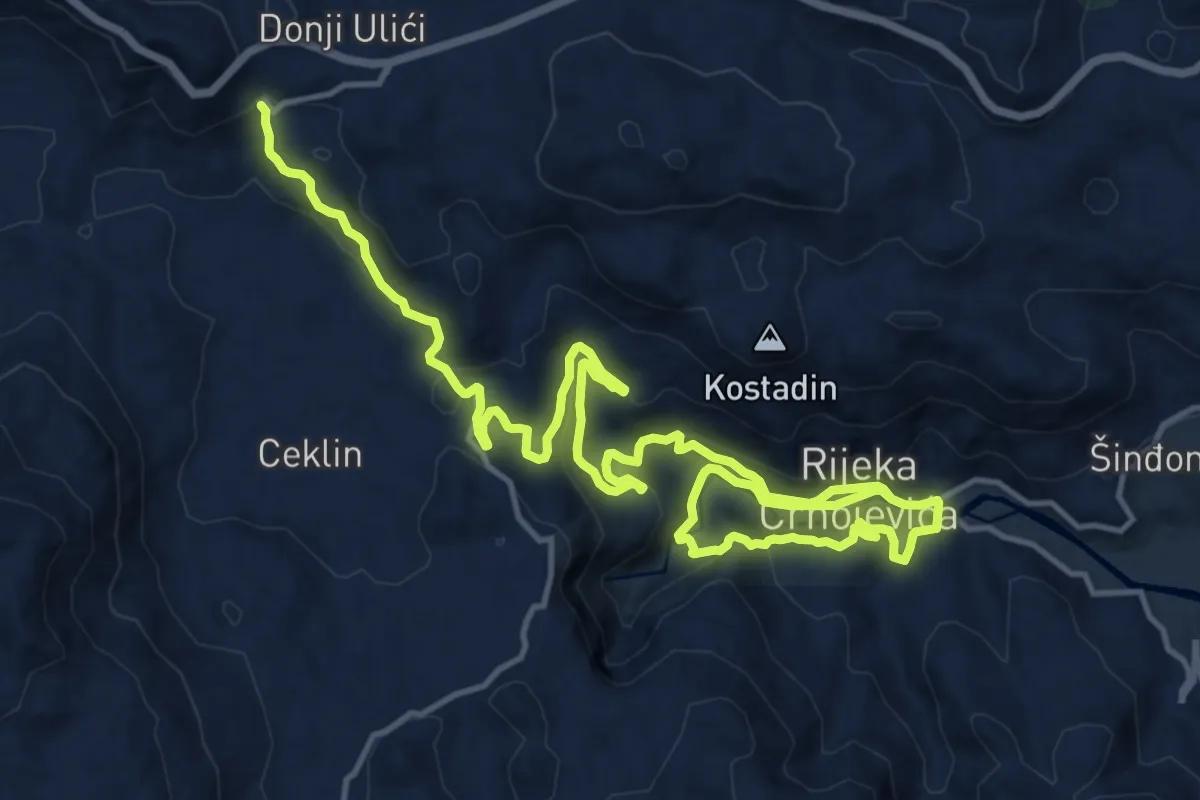
Demanding · Trail
792E
24.1 km · ↑ 936 m · 7 h 43 min · 13 km away
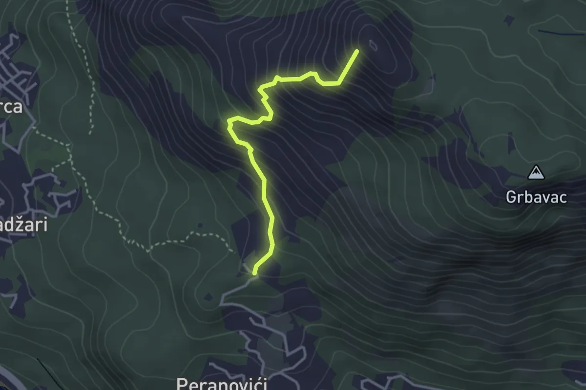
Medium · Summit
Sutorman - Mogila
3.1 km · ↑ 404 m · 1 h 36 min · 13 km away
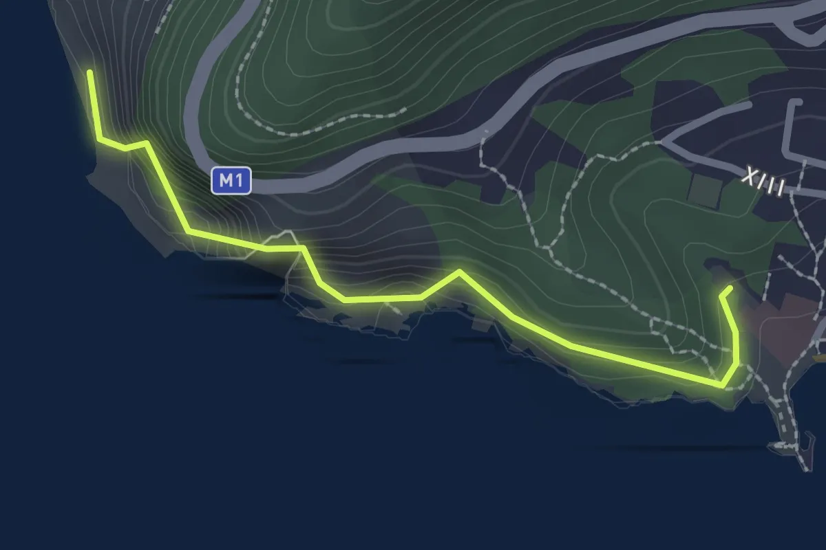
Easy · Trail
Petrovac - Perazića Do
2.4 km · ↑ 134 m · 51 min · 13 km away
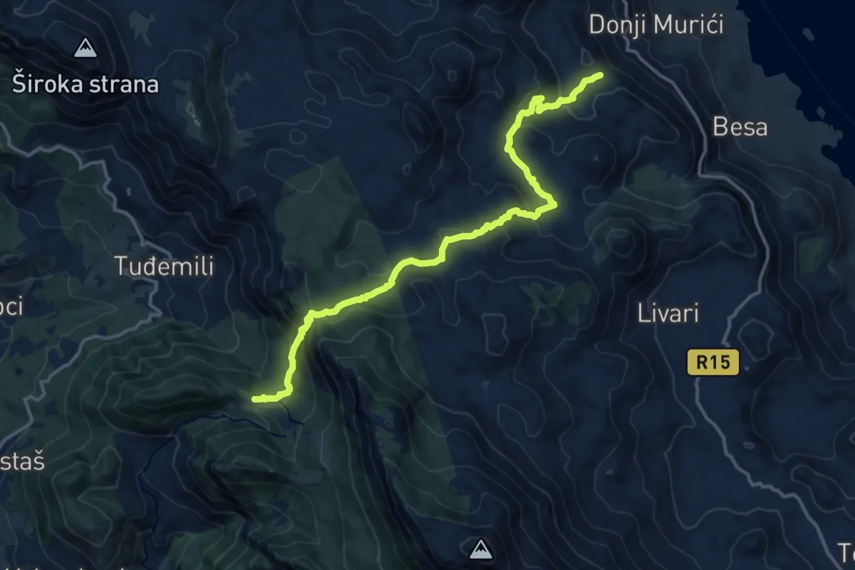
Medium · Trail
Baltina - vidikovac
16.1 km · ↑ 737 m · 5 h 23 min · 14 km away