Trails in Namibia
37 hiking trails, each with its route, climb, walking time and grade.
Near a town
All trails
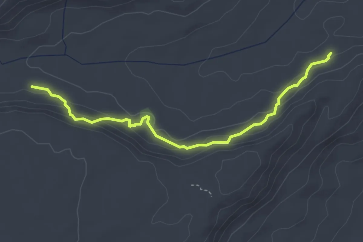
Easy · Trail
Anderson Trail
5.0 km · ↑ 221 m · 1 h 40 min
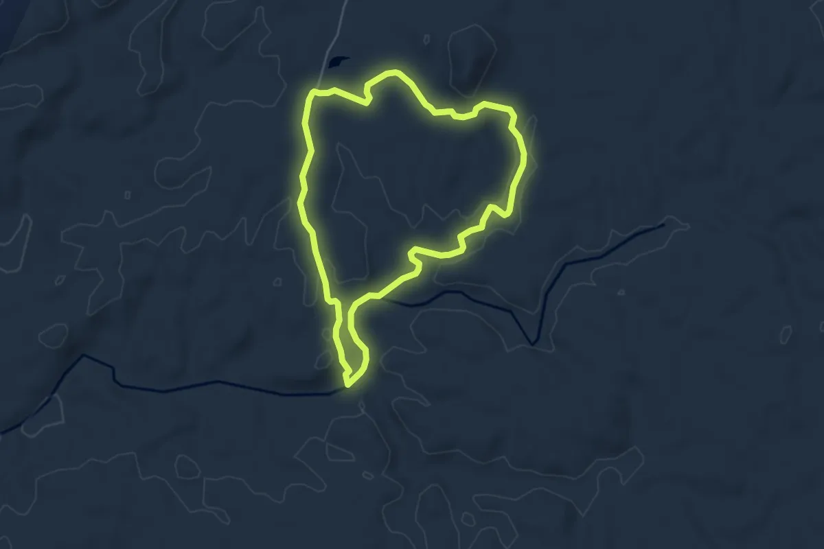
Easy · Trail
Bee Trail
6.0 km · ↑ 104 m · 1 h 44 min
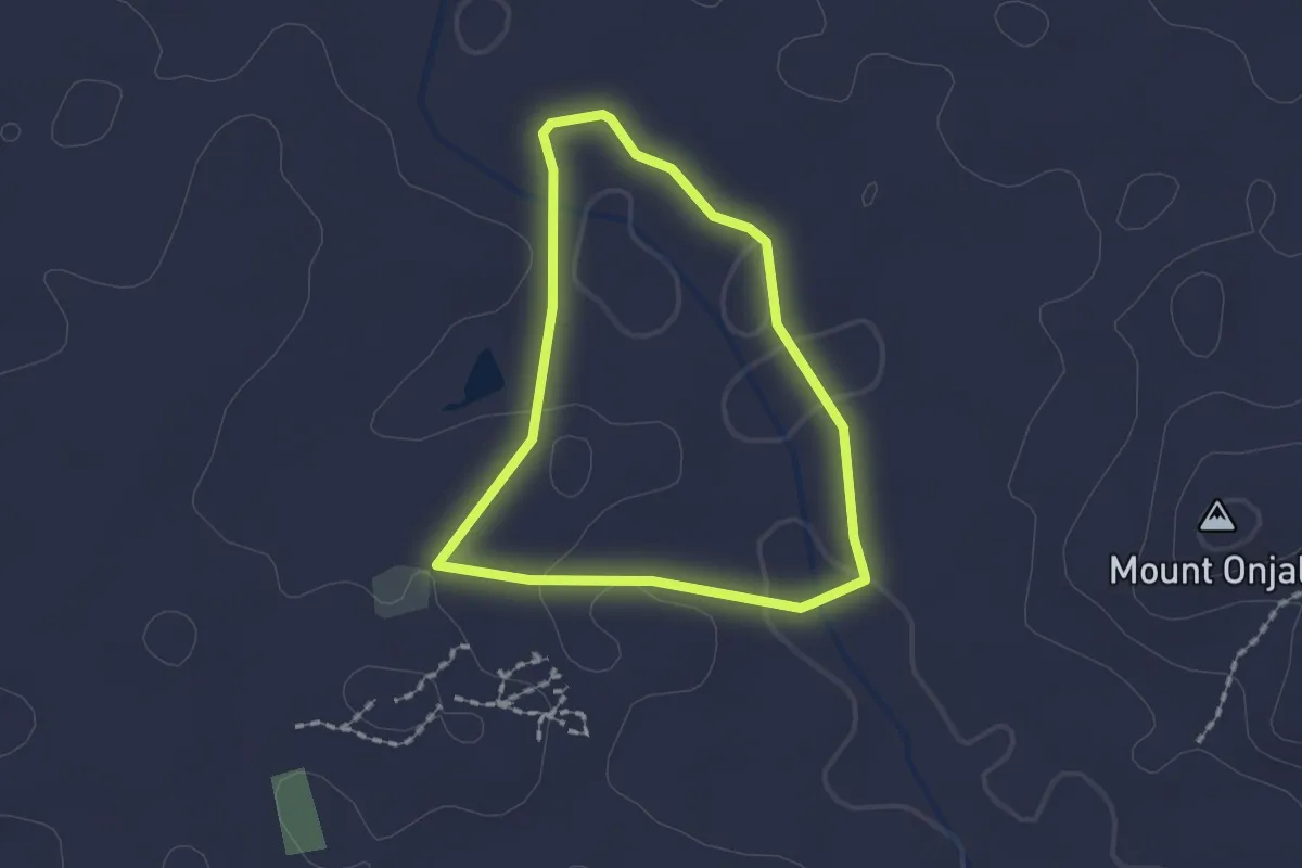
Easy · Trail
Botanical trail
2.0 km · ↑ 24 m · 33 min
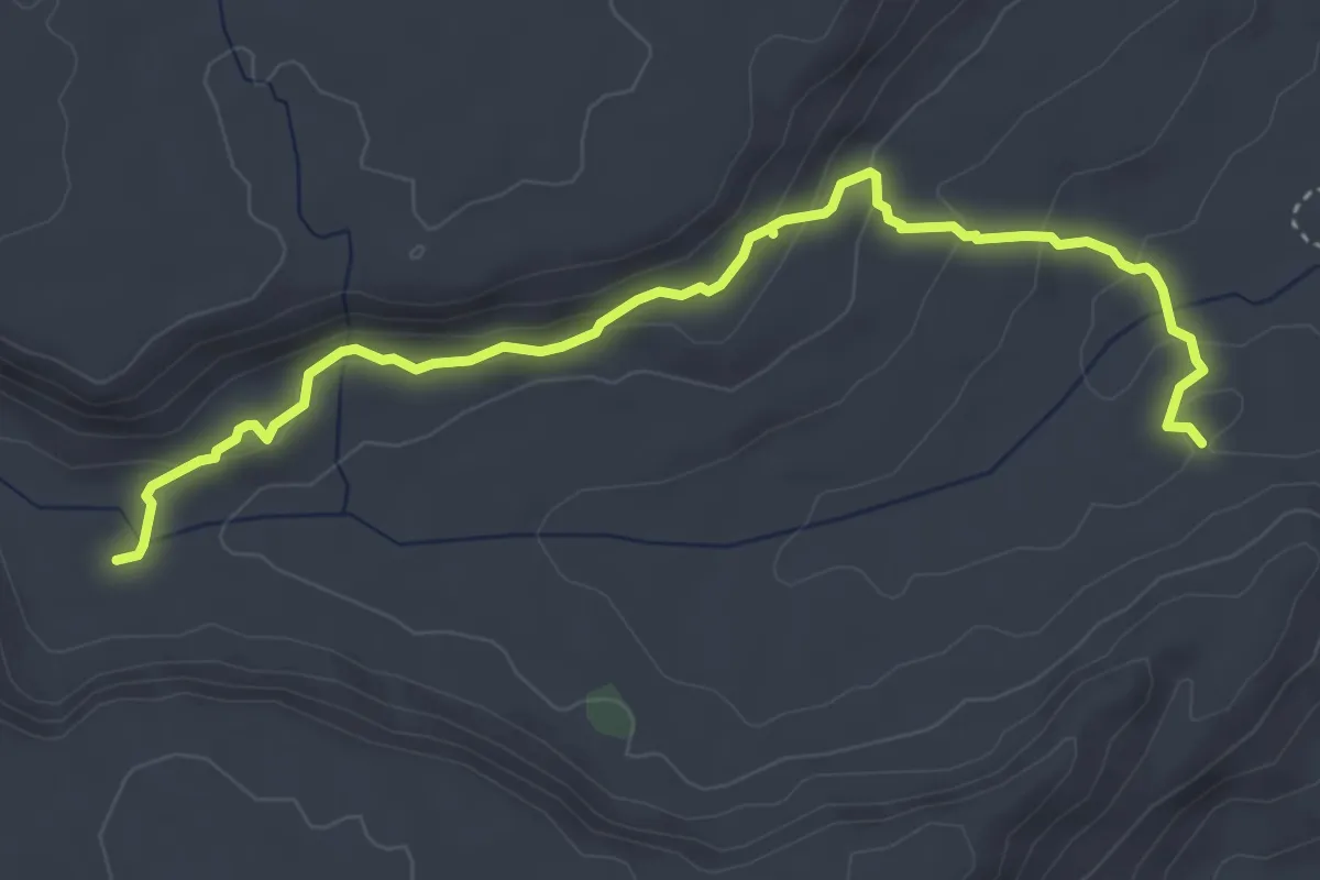
Easy · Trail
Dassie Trail
6.2 km · ↑ 238 m · 1 h 59 min
Medium · Trail
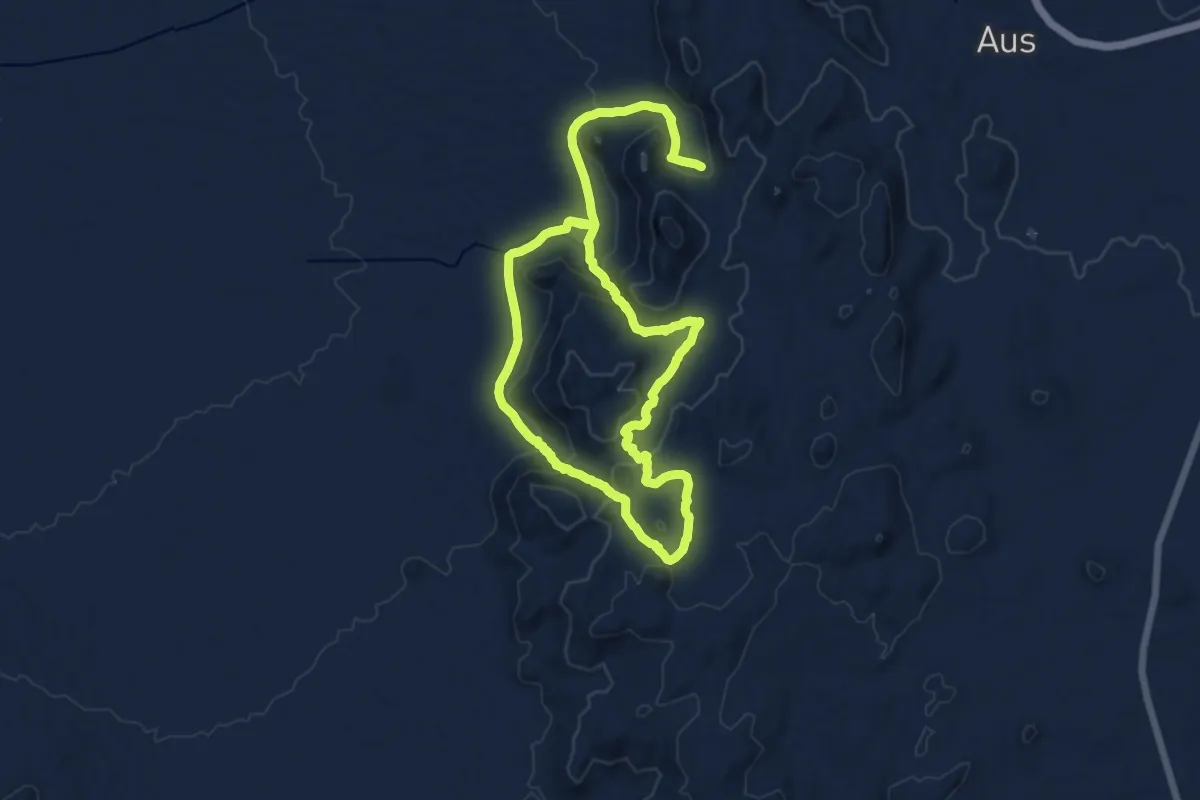
Eagle Trail
14.3 km · ↑ 561 m · 4 h 43 min
Demanding · Trail
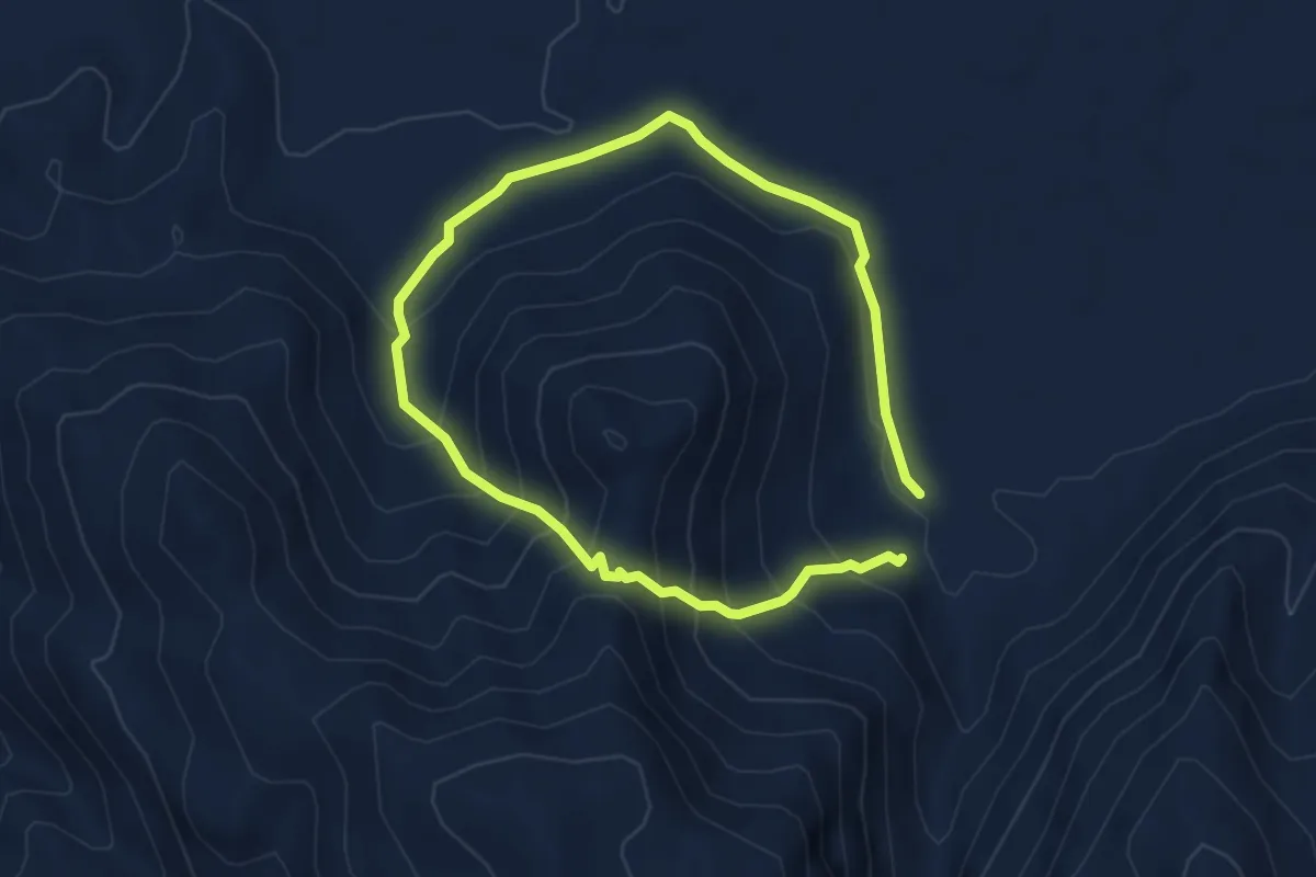
Felsental Trail
9.3 km · ↑ 653 m · 3 h 36 min
Easy · Trail
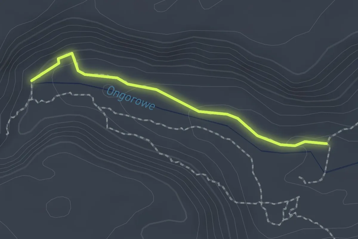
Fountain Trail
2.2 km · ↑ 59 m · 39 min
Medium · Trail
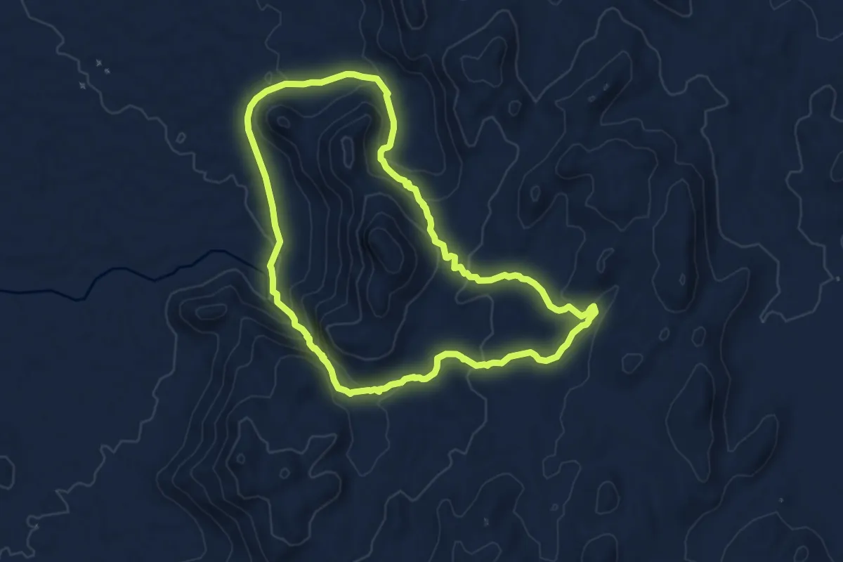
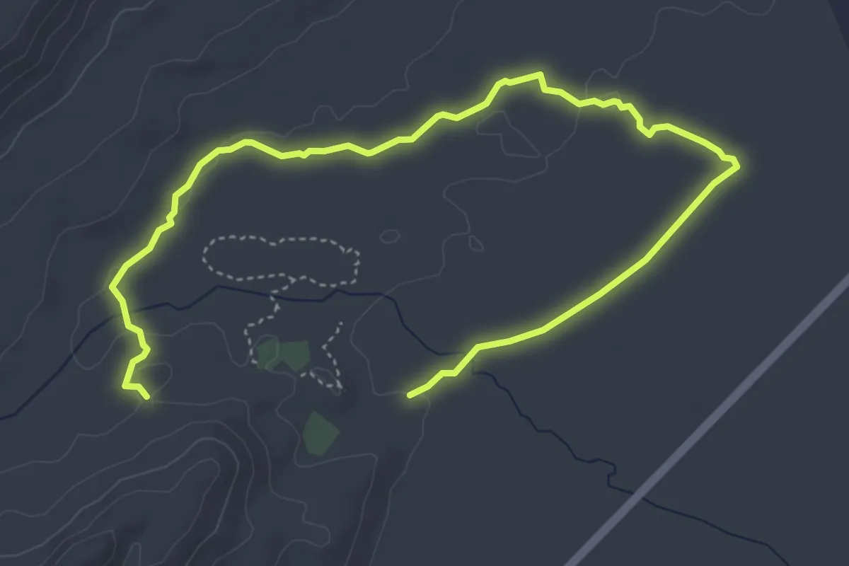
Geister Trail
8.9 km · ↑ 324 m · 2 h 55 min
Medium · Trail
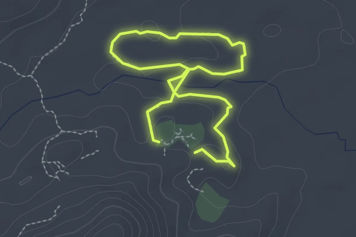
Giraffe Crossing
8.6 km · ↑ 69 m · 2 h 11 min
Medium · Trail
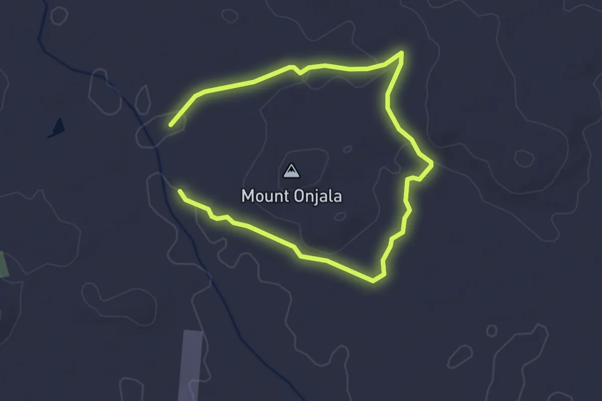
History Path
2.3 km · ↑ 25 m · 38 min
Easy · Trail
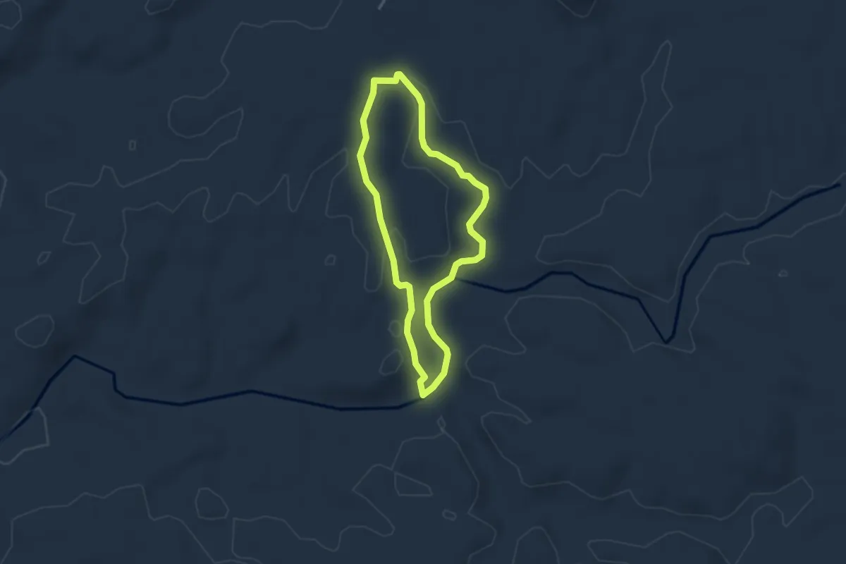
Klippspringer trail
6.1 km · ↑ 54 m · 1 h 34 min
Easy · Trail
Leopard Trail
3.6 km · ↑ 65 m · 1 h 3 min
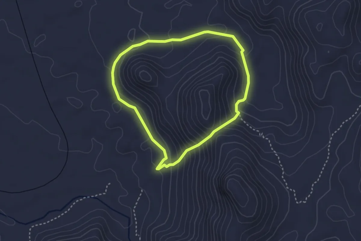
Medium · Trail
Mountain Trail
3.6 km · ↑ 217 m · 1 h 22 min
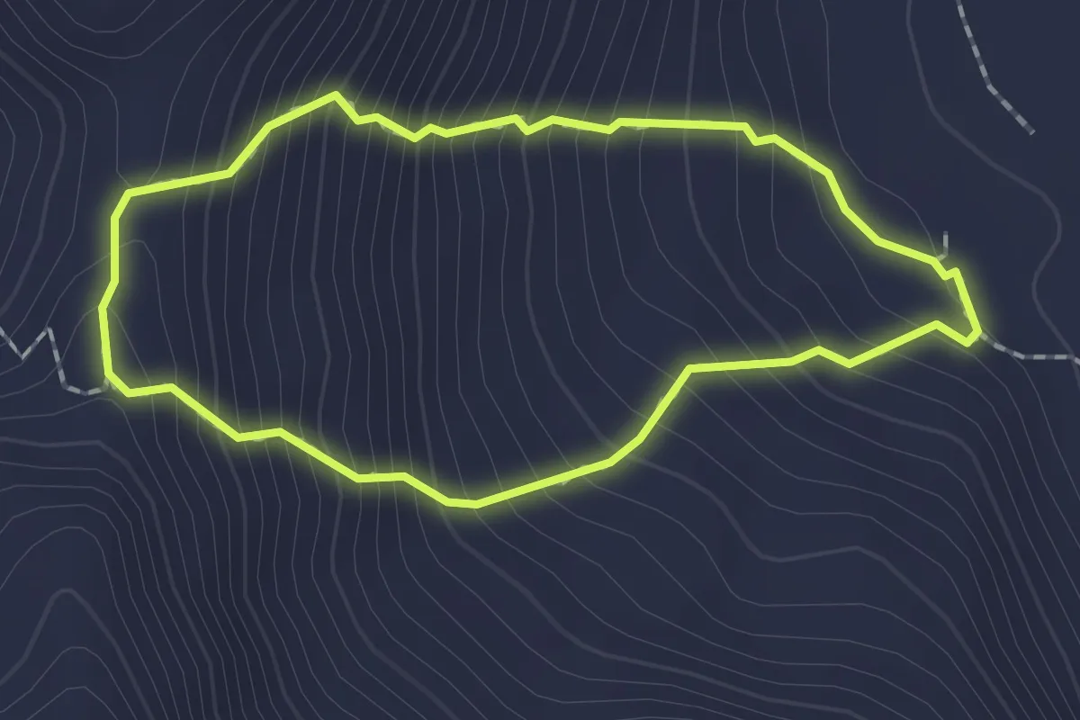
Medium · Trail
"Namib-View" Hike
2.1 km · ↑ 274 m · 1 h 7 min
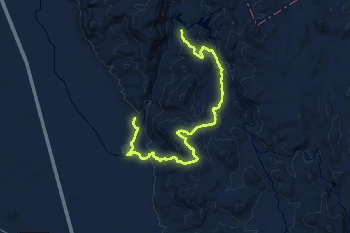
Demanding · Trail
Okapuka Hiking Trail
21.9 km · ↑ 901 m · 7 h 7 min
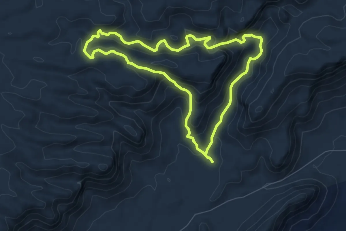
Medium · Trail
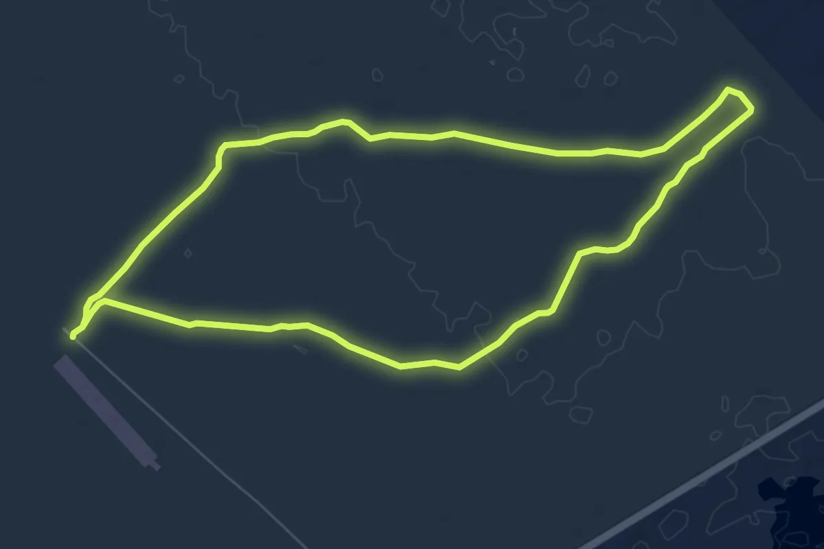
Olive Trail
8.1 km · ↑ 430 m · 2 h 57 min
Medium · Trail
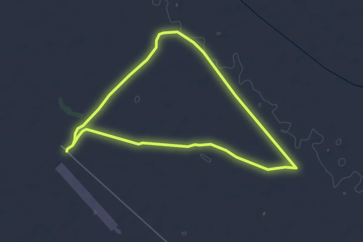
Oryx Trail
9.3 km · ↑ 31 m · 2 h 24 min
Easy · Trail
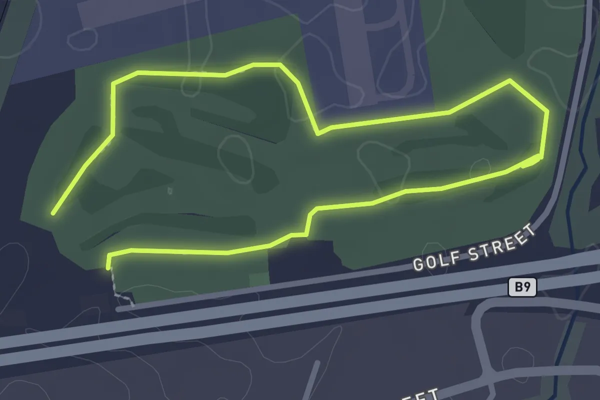
Ostrich Trail
5.5 km · ↑ 12 m · 1 h 24 min
Easy · Trail
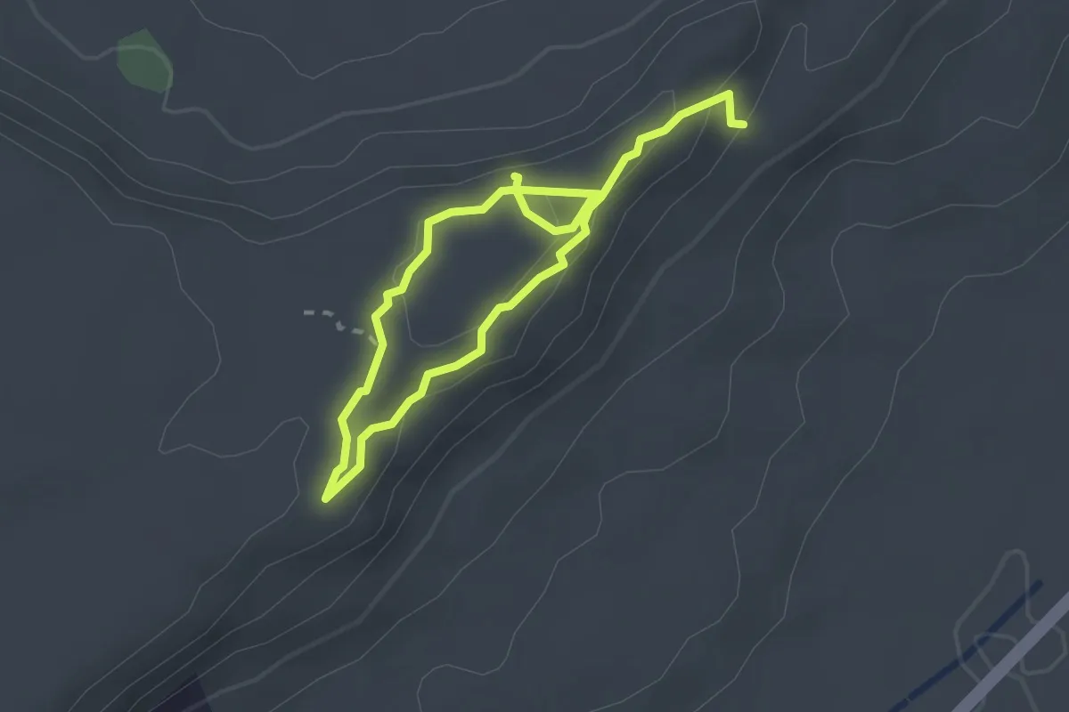
Park Run Windhoek Trail
5.2 km · ↑ 29 m · 1 h 17 min
Easy · Trail
Plateau trail
4.6 km · ↑ 149 m · 1 h 24 min
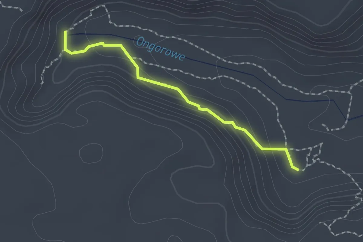
Easy · Trail
Porcupine Highway
2.1 km · ↑ 90 m · 42 min
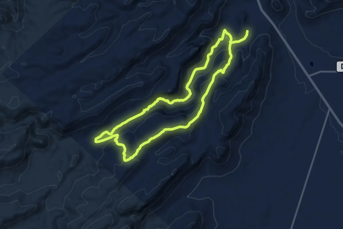
Demanding · Trail
Quiver Tree Gorge
23.0 km · ↑ 994 m · 7 h 36 min
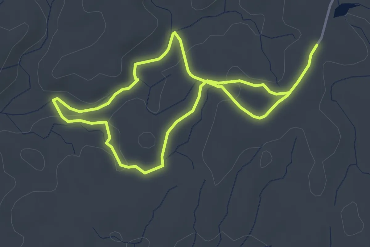
Easy · Trail
Quiver Tree Trail
3.9 km · ↑ 71 m · 1 h 7 min
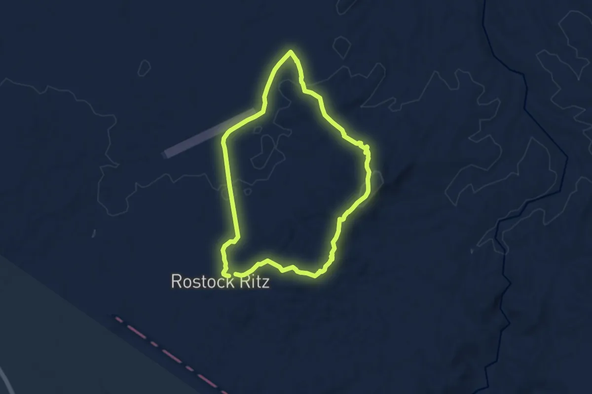
Medium · Trail
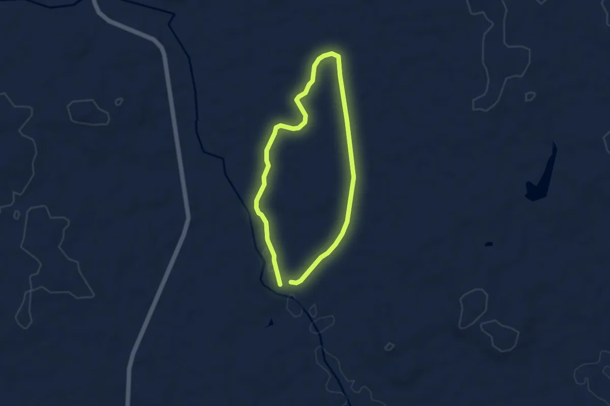
Ramblers Trails
8.8 km · ↑ 152 m · 2 h 33 min
Easy · Trail
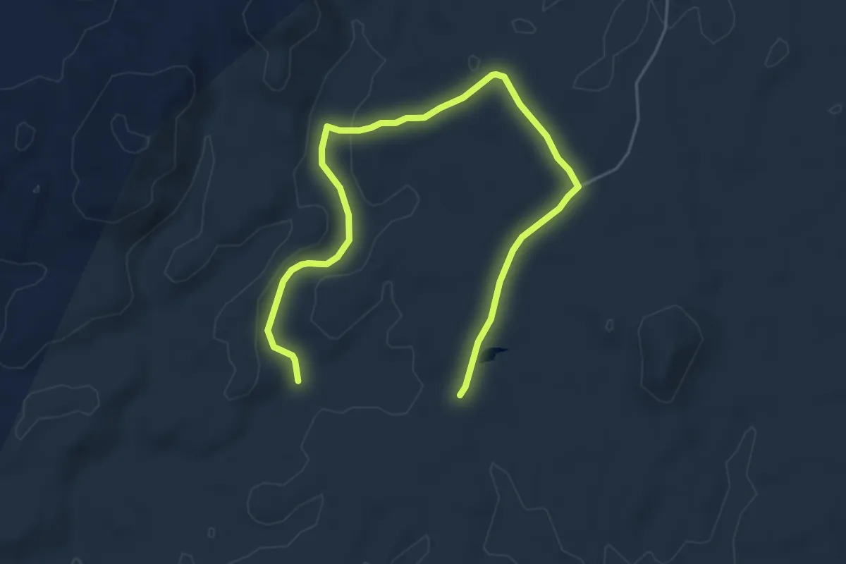
River trail
4.4 km · ↑ 35 m · 1 h 11 min
Easy · Trail
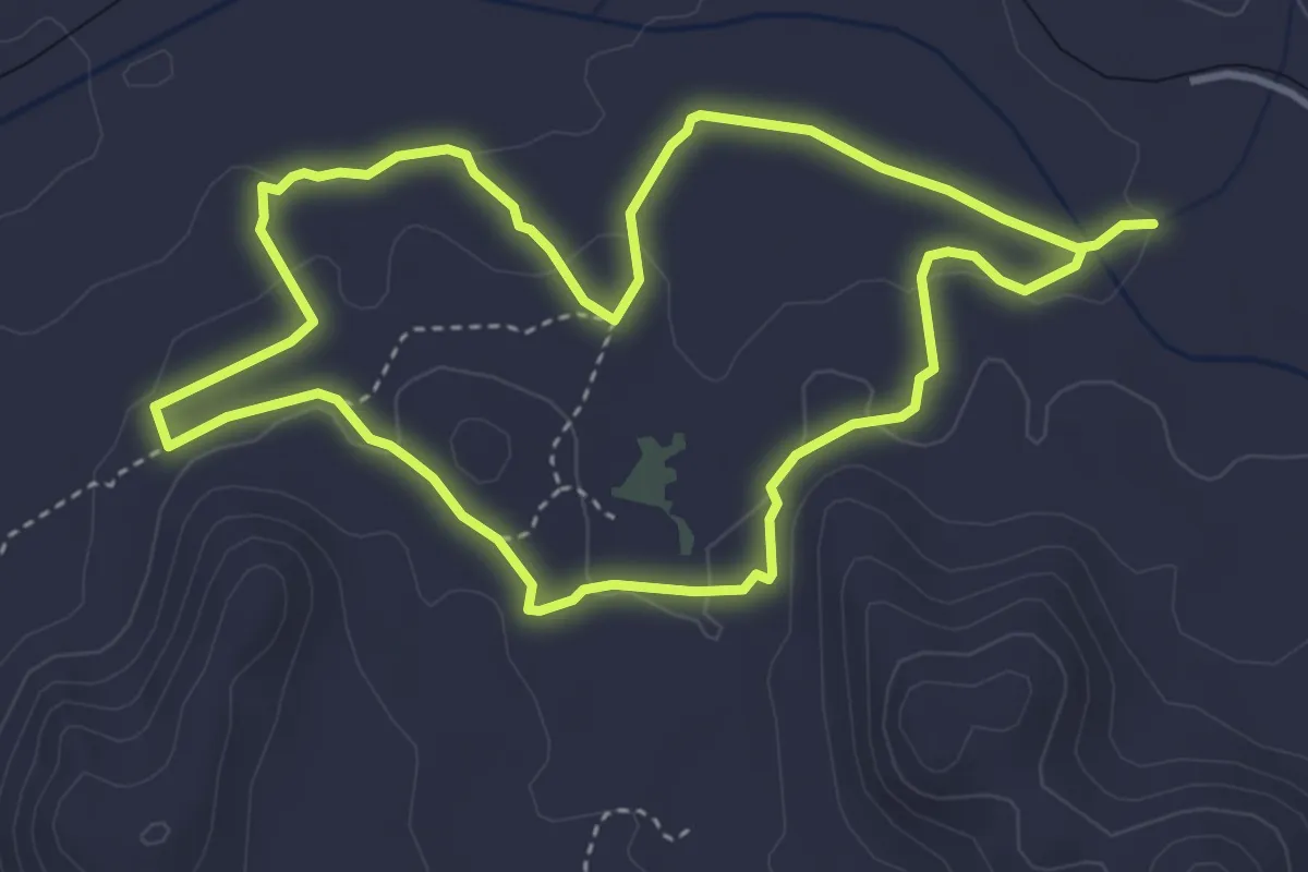
Rooiklip Hiking Trail 2
4.1 km · ↑ 78 m · 1 h 10 min
Easy · Trail
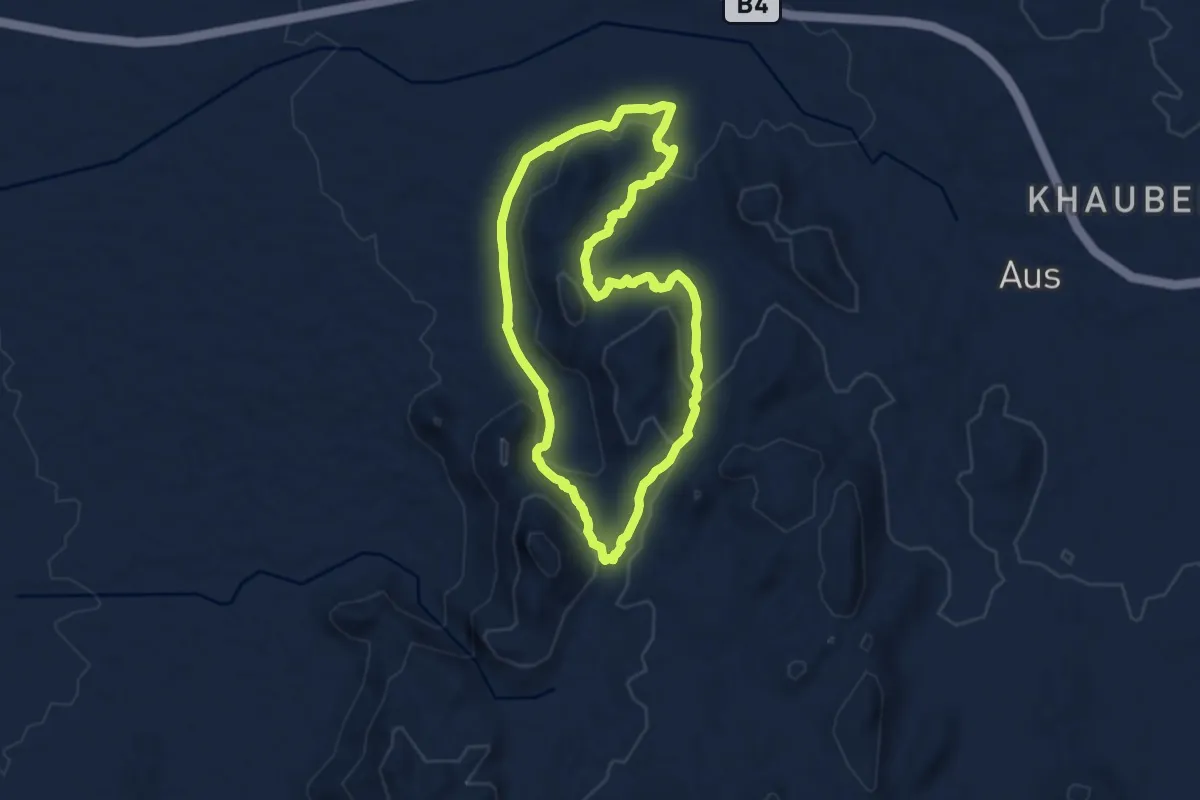
Schanzen Trail
5.0 km · ↑ 89 m · 1 h 27 min
Medium · Trail
Schutztruppe Trail
9.6 km · ↑ 246 m · 2 h 57 min
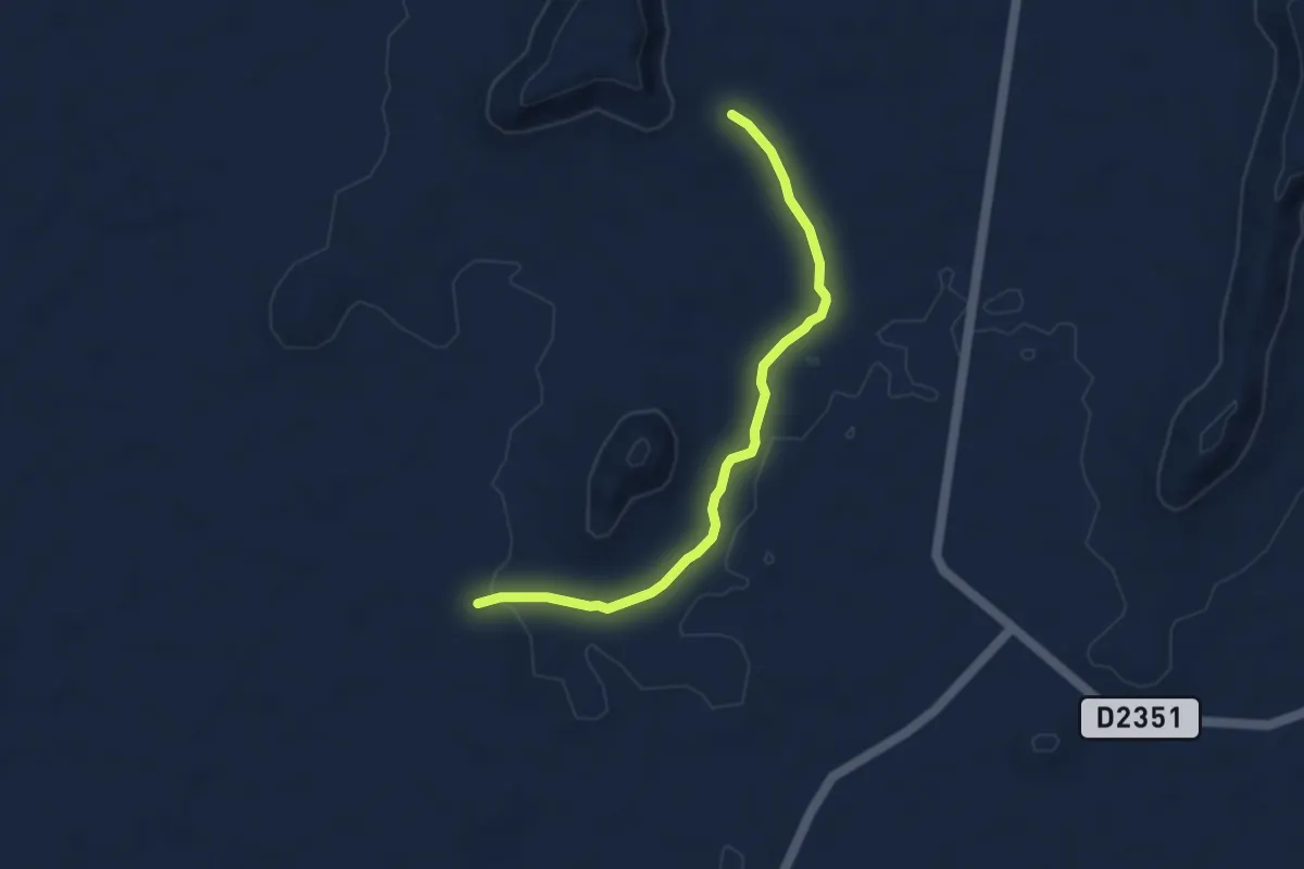
Easy · Trail
South Terrace hike
2.7 km · ↑ 5 m · 42 min
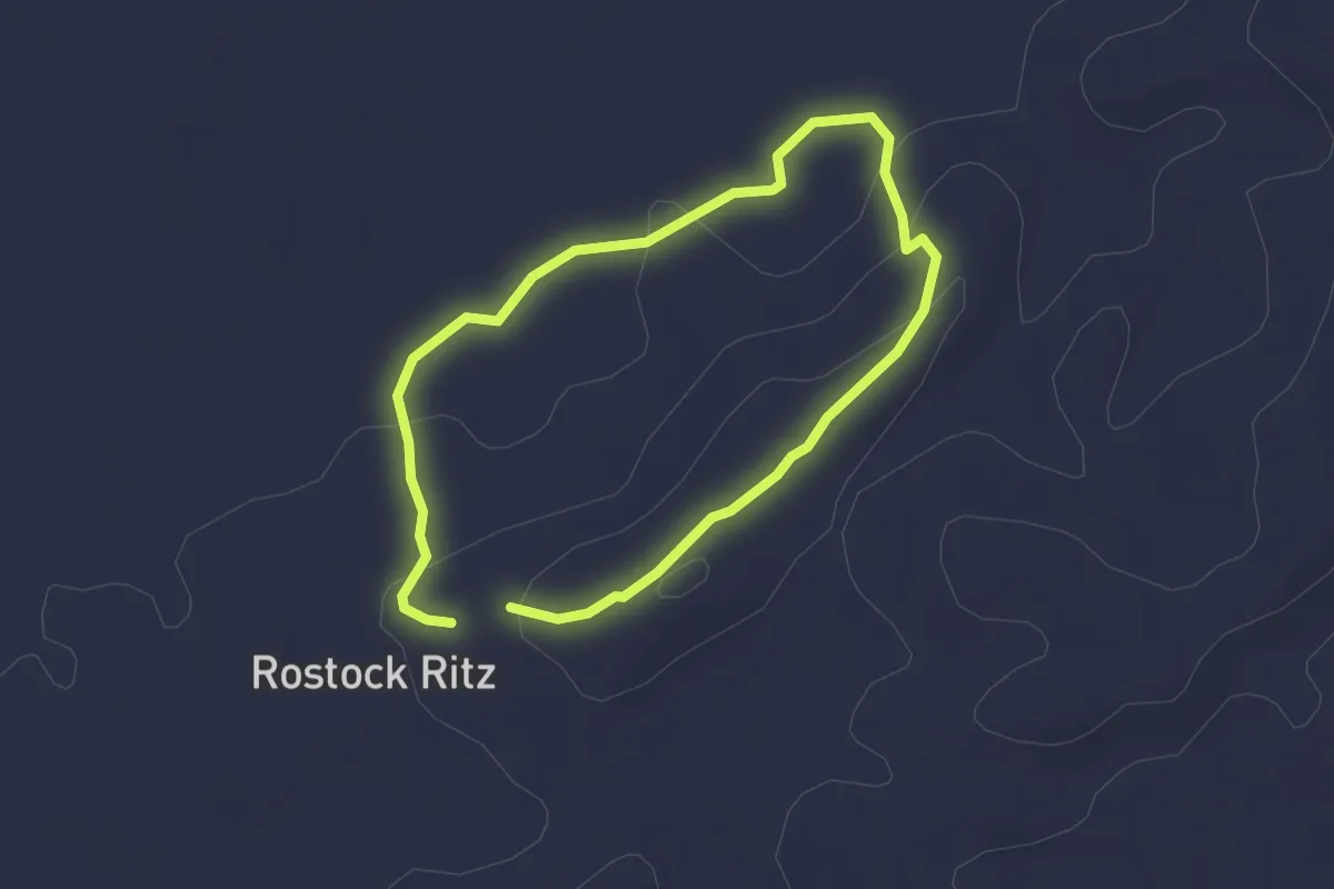
Easy · Trail
Sundowner Trail
2.5 km · ↑ 57 m · 45 min
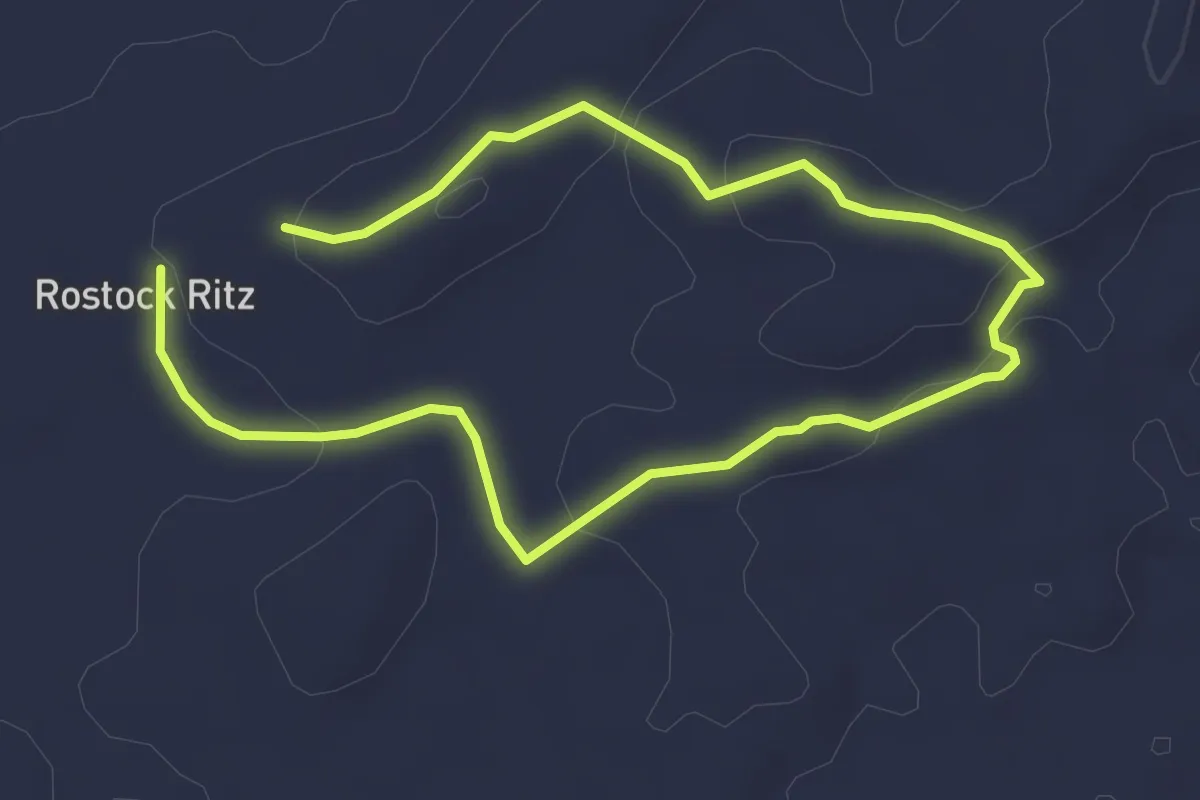
Easy · Trail
Sunrise Trail
6.3 km · ↑ 139 m · 1 h 47 min
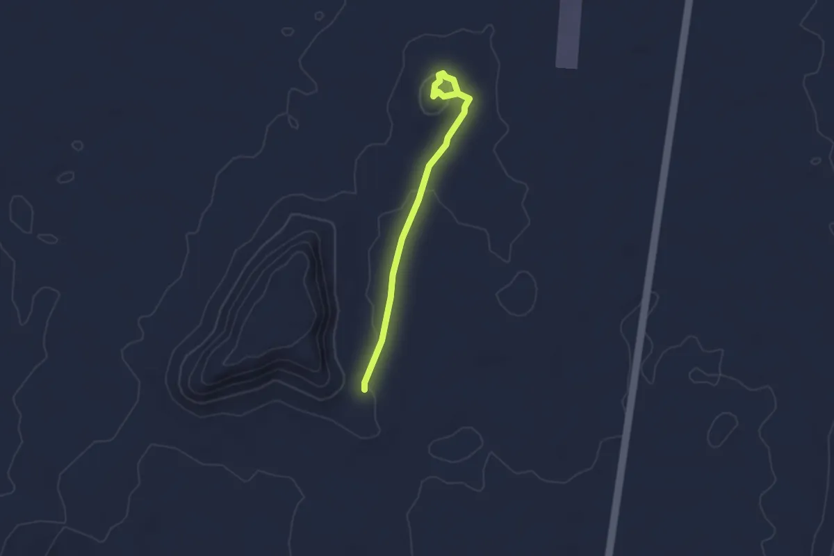
Easy · Trail
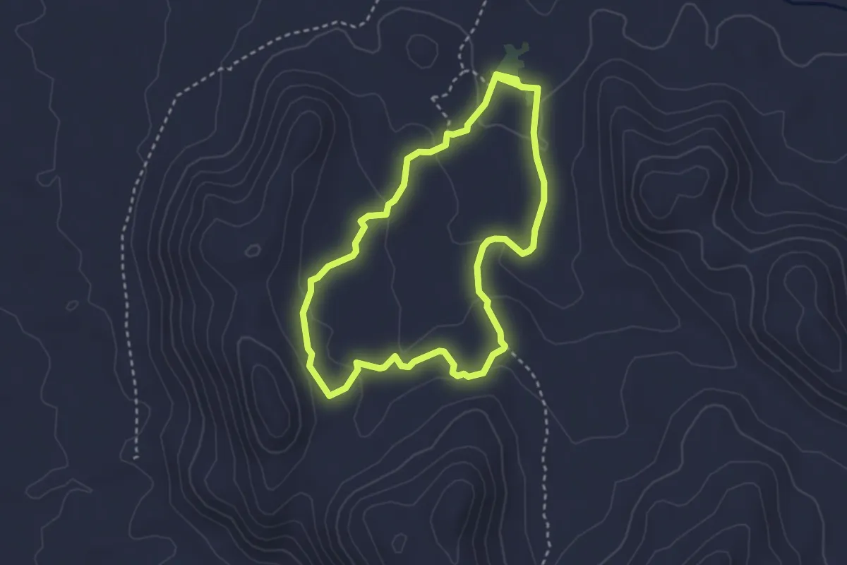
Vingerklip walk
3.3 km · ↑ 57 m · 54 min
Easy · Trail
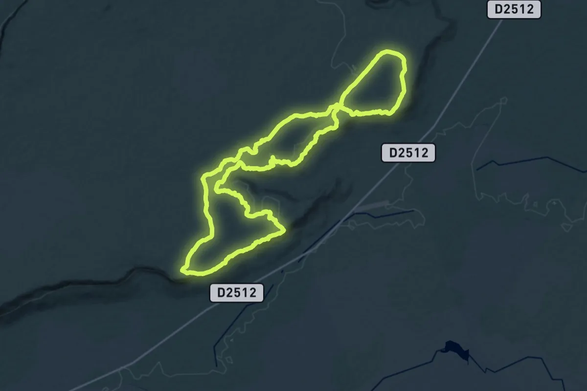
Vista Trail
3.6 km · ↑ 97 m · 1 h 7 min
Demanding · Trail
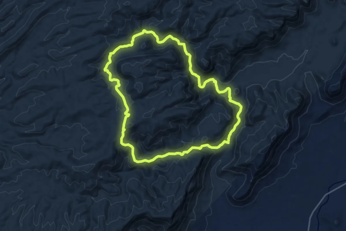
Waterberg 4-Day Unguided Hiking Trail
30.4 km · ↑ 372 m · 8 h 24 min
Medium · Trail
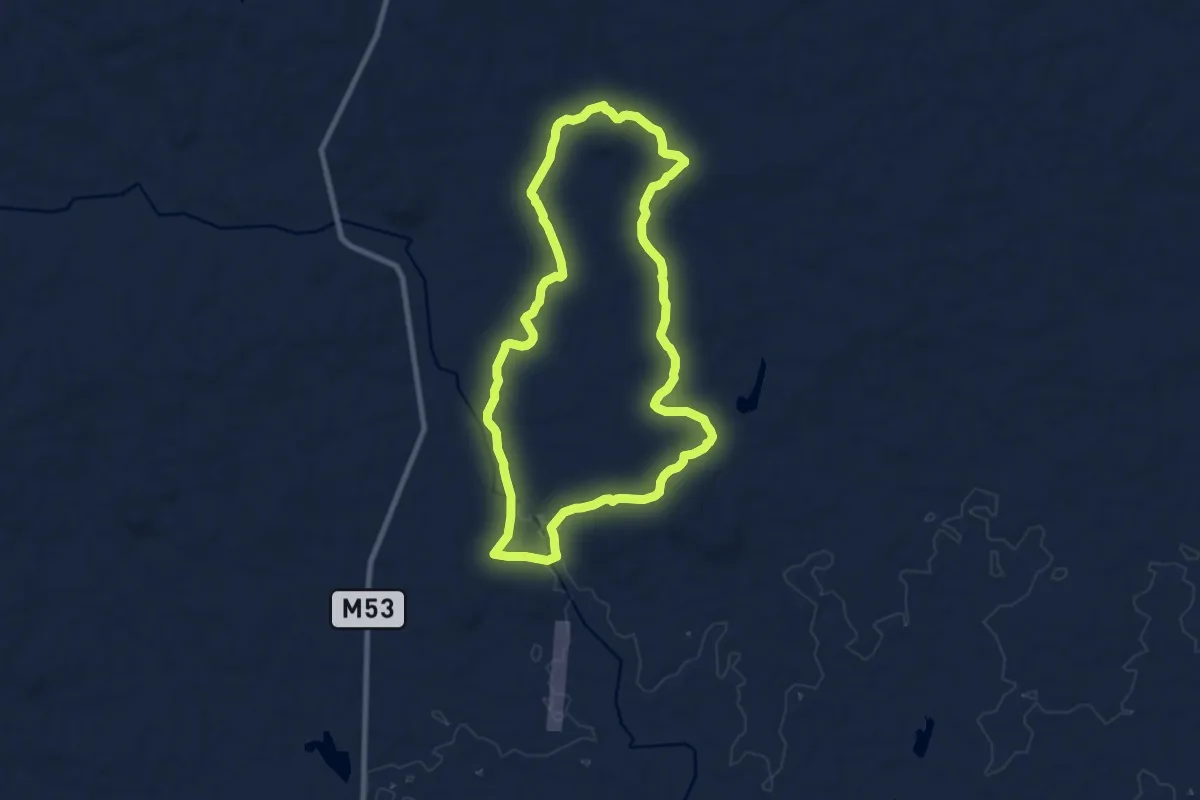
Waterkloof Hiking Trail
16.5 km · ↑ 610 m · 5 h 28 min
Medium · Trail
Zebra trail
11.5 km · ↑ 149 m · 3 h 12 min
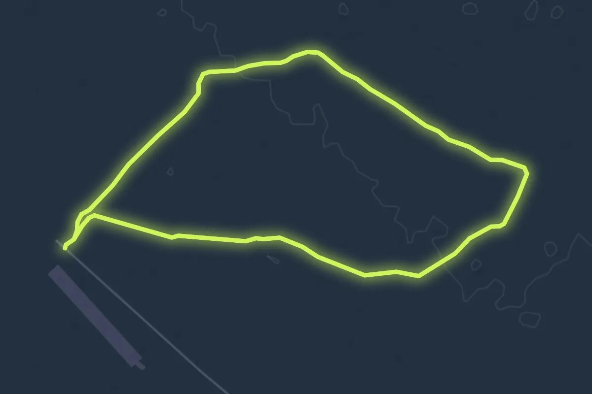
Easy · Trail
Zebra trail
7.0 km · ↑ 27 m · 1 h 48 min