Trails in Netherlands
5,039 hiking trails, each with its route, climb, walking time and grade.
All trails, page 102 of 105
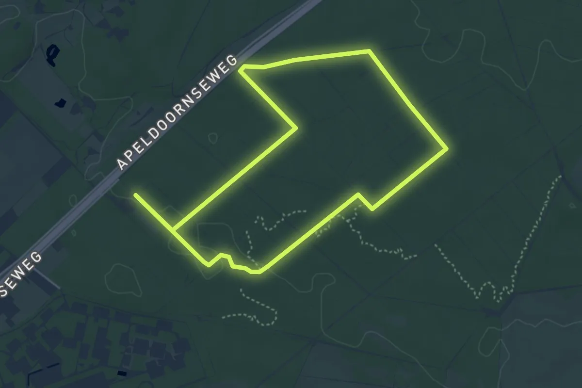
Easy · Trail
WNW Veluwe - Westerode - rode route
3.8 km · ↑ 18 m · 1 h
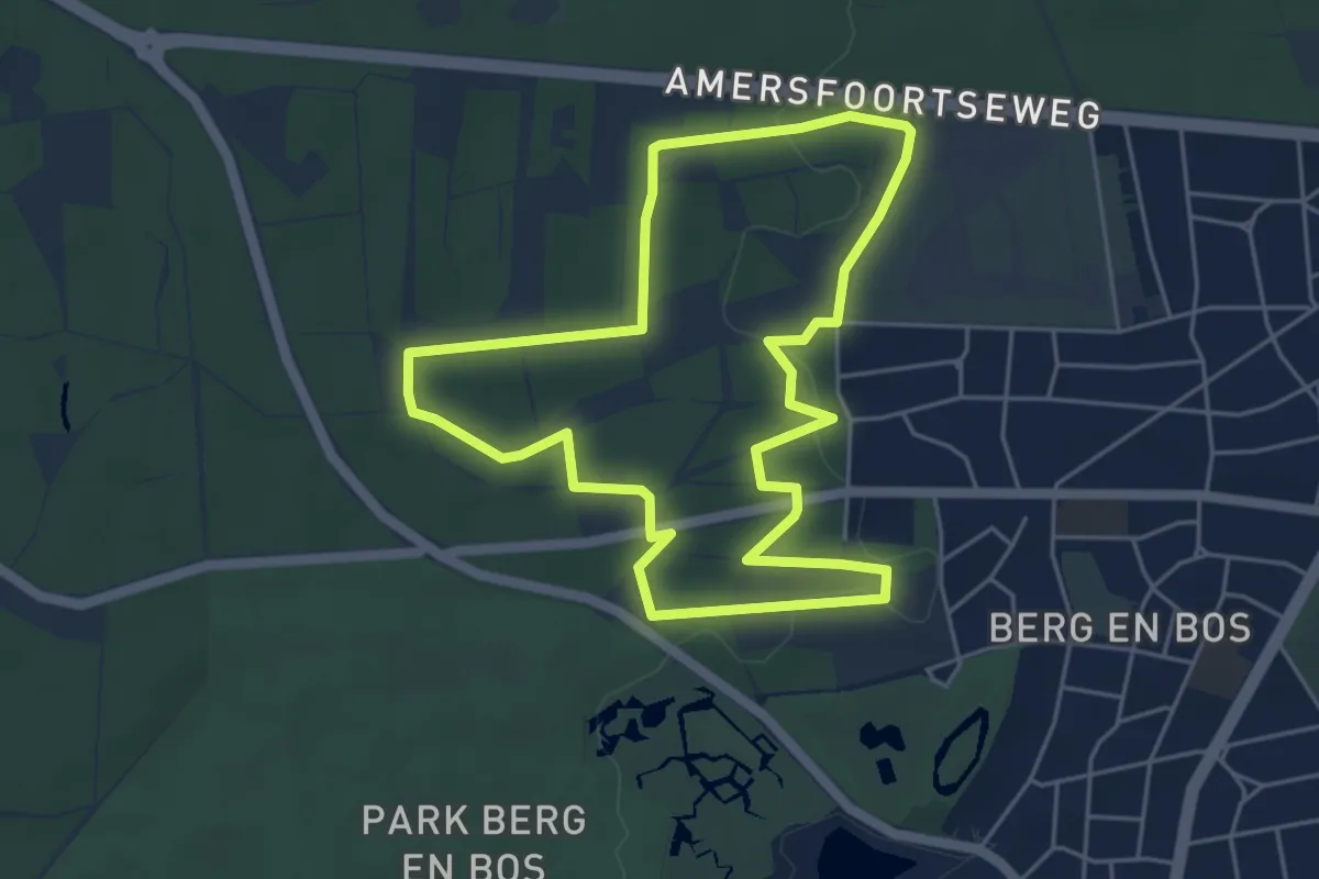
Easy · Summit
WNW Veluwe - Wildernisbos - rode route
4.5 km · ↑ 35 m · 1 h 12 min
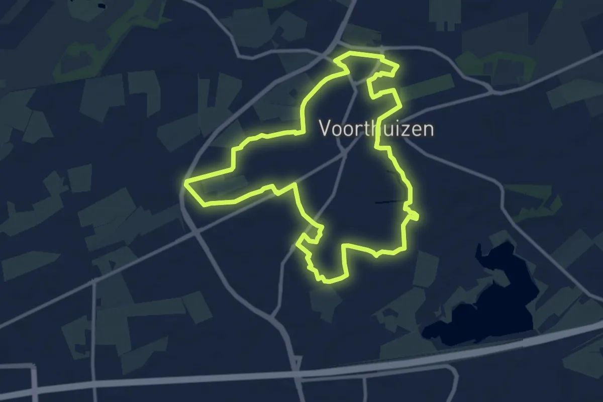
Medium · Trail
WNW Veluwe - Woeste Hoef - groene route
8.4 km · ↑ 4 m · 2 h 6 min
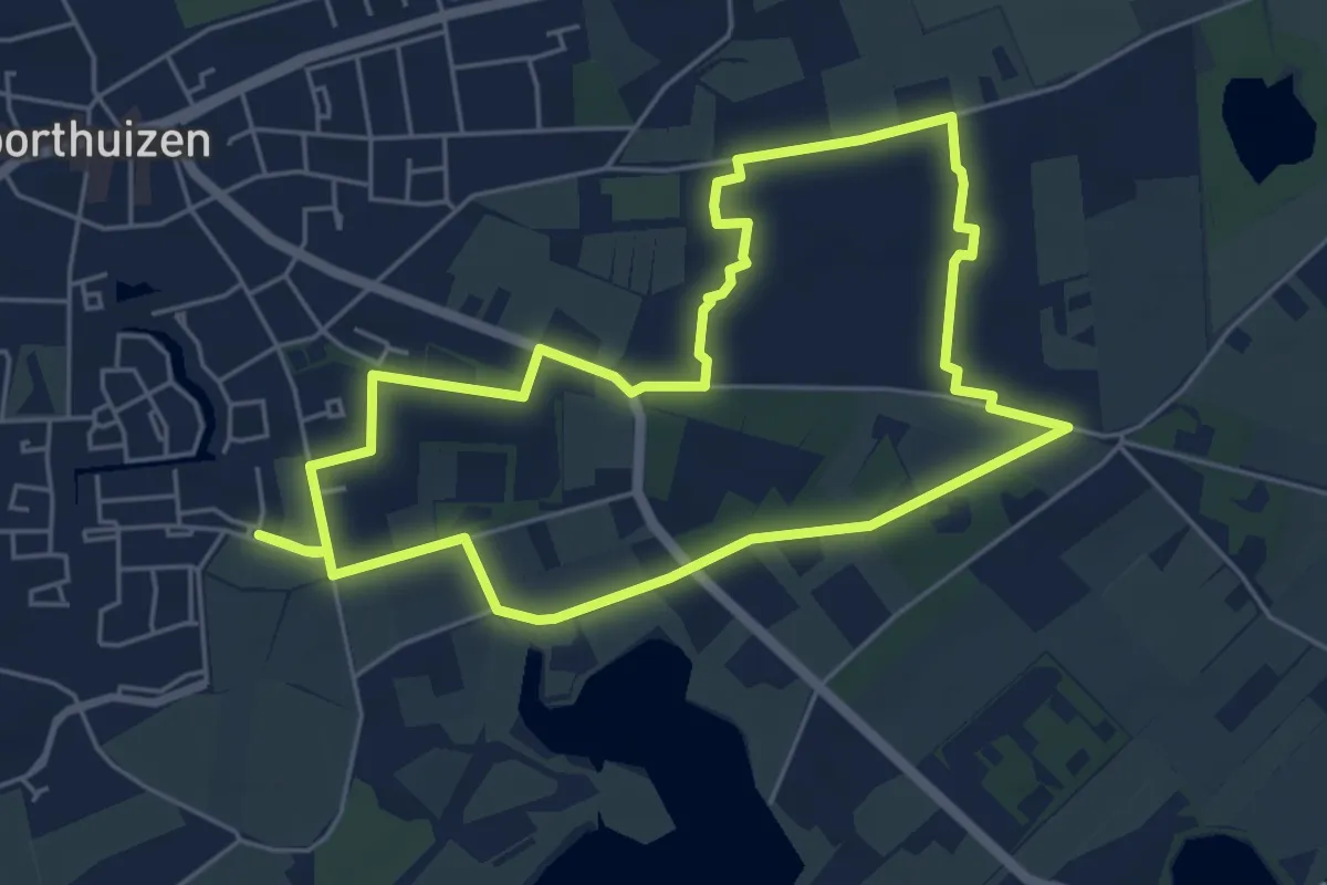
Easy · Trail
WNW Veluwe - Woeste Hof - gele route
4.8 km · ↑ 13 m · 1 h 14 min
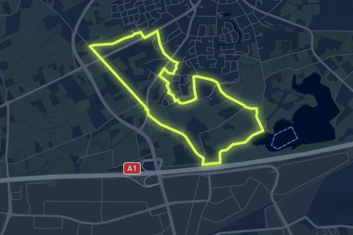
Easy · Trail
WNW Veluwe - Woeste Hof - paarse route
6.4 km · ↑ 4 m · 1 h 37 min
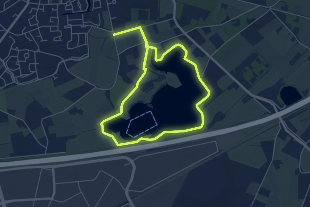
Easy · Trail
WNW Veluwe - Woeste Hof - rode route
4.7 km · ↑ 0 m · 1 h 10 min
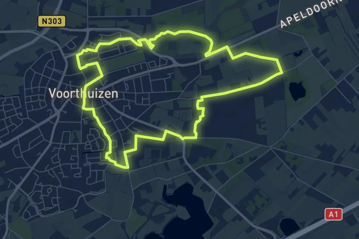
Easy · Trail
WNW Veluwe - Woeste Hof/Zandbergen - oranje route
7.5 km · ↑ 17 m · 1 h 54 min
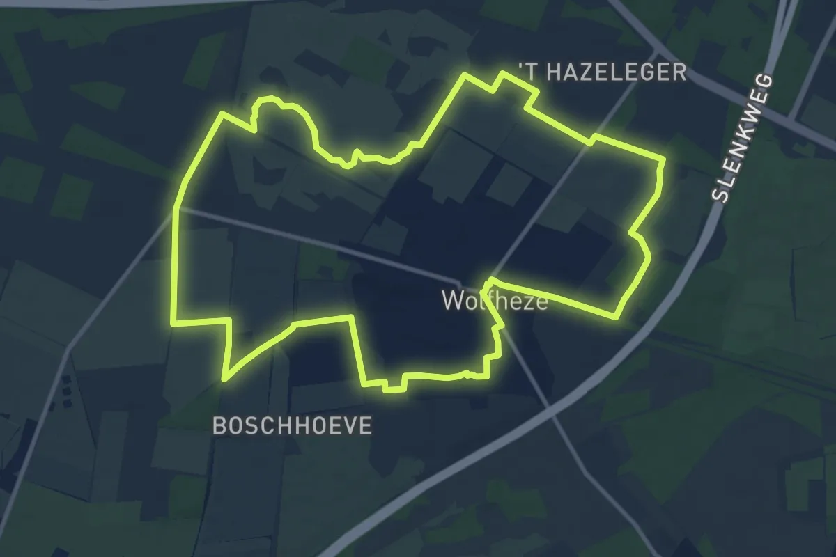
Medium · Trail
WNW Veluwe - Wolfheze/Buunderkamp - rode route
10.8 km · ↑ 31 m · 2 h 46 min
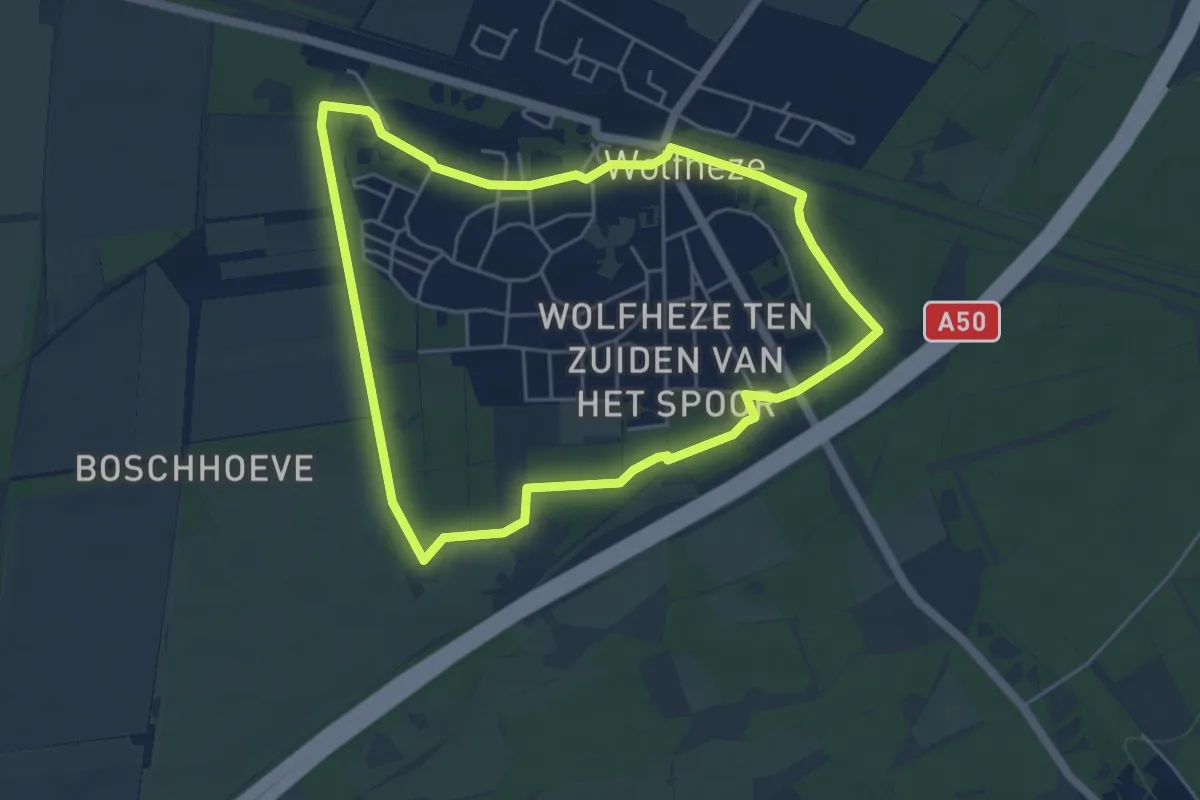
Easy · Trail
WNW Veluwe - Wolfheze - gele route
4.4 km · ↑ 4 m · 1 h 7 min
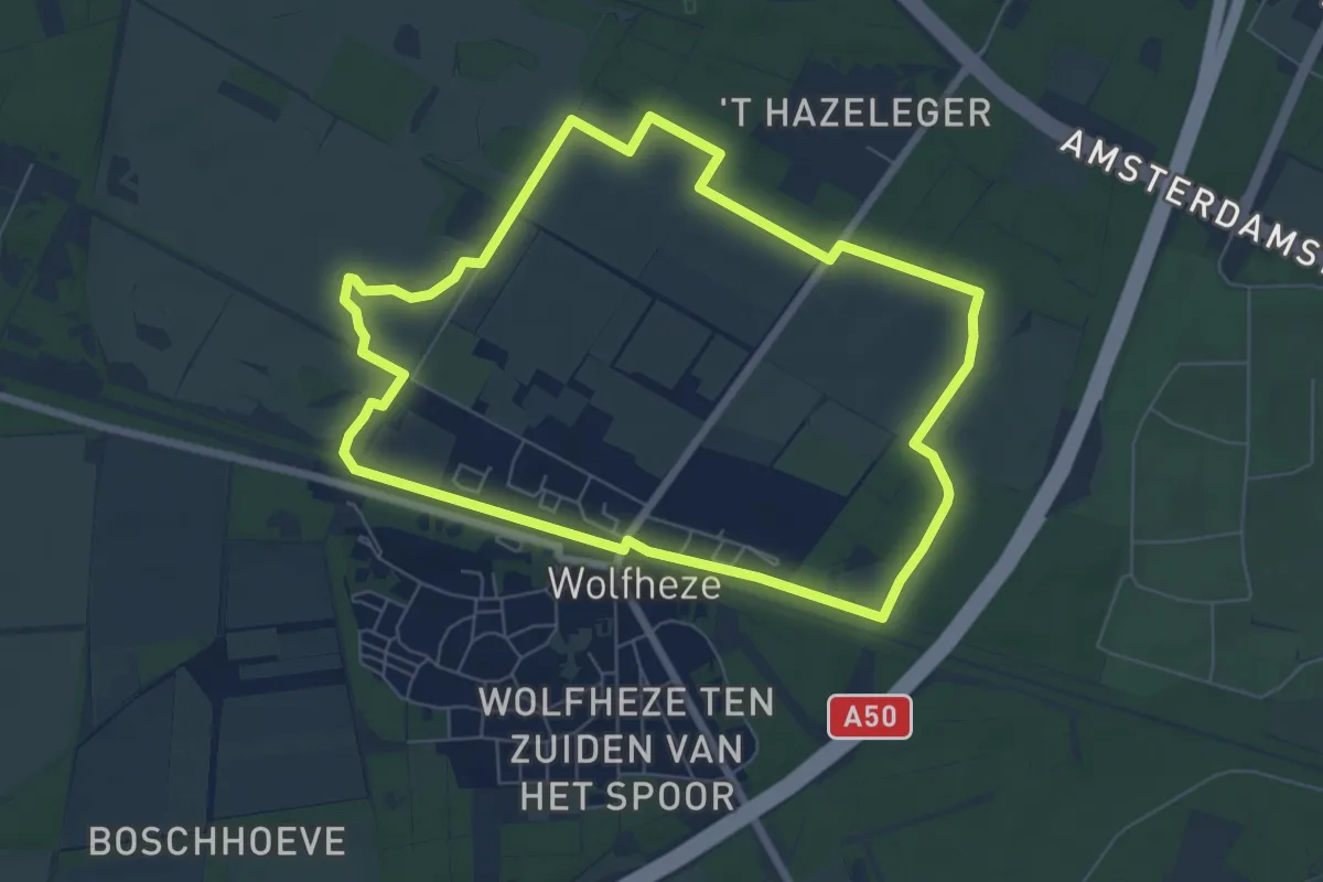
Easy · Trail
WNW Veluwe - Wolfheze - groene route
6.1 km · ↑ 22 m · 1 h 35 min
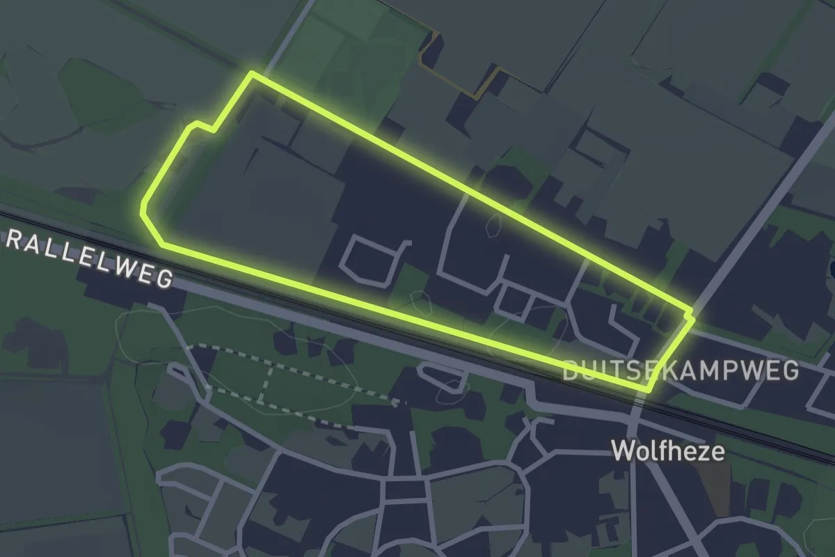
Easy · Trail
WNW Veluwe - Wolfheze - oranje route
2.2 km · ↑ 4 m · 34 min
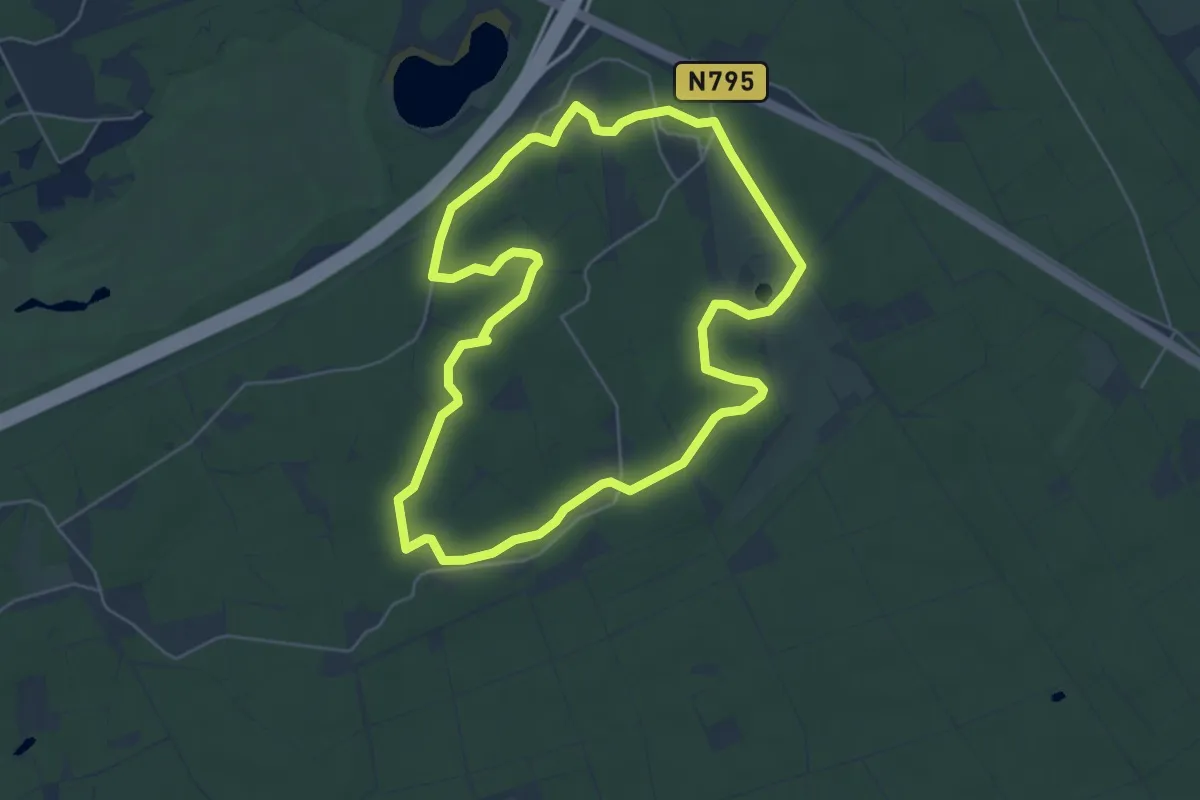
Easy · Trail
WNW Veluwe - Zandenbos - rode route
5.0 km · ↑ 17 m · 1 h 17 min
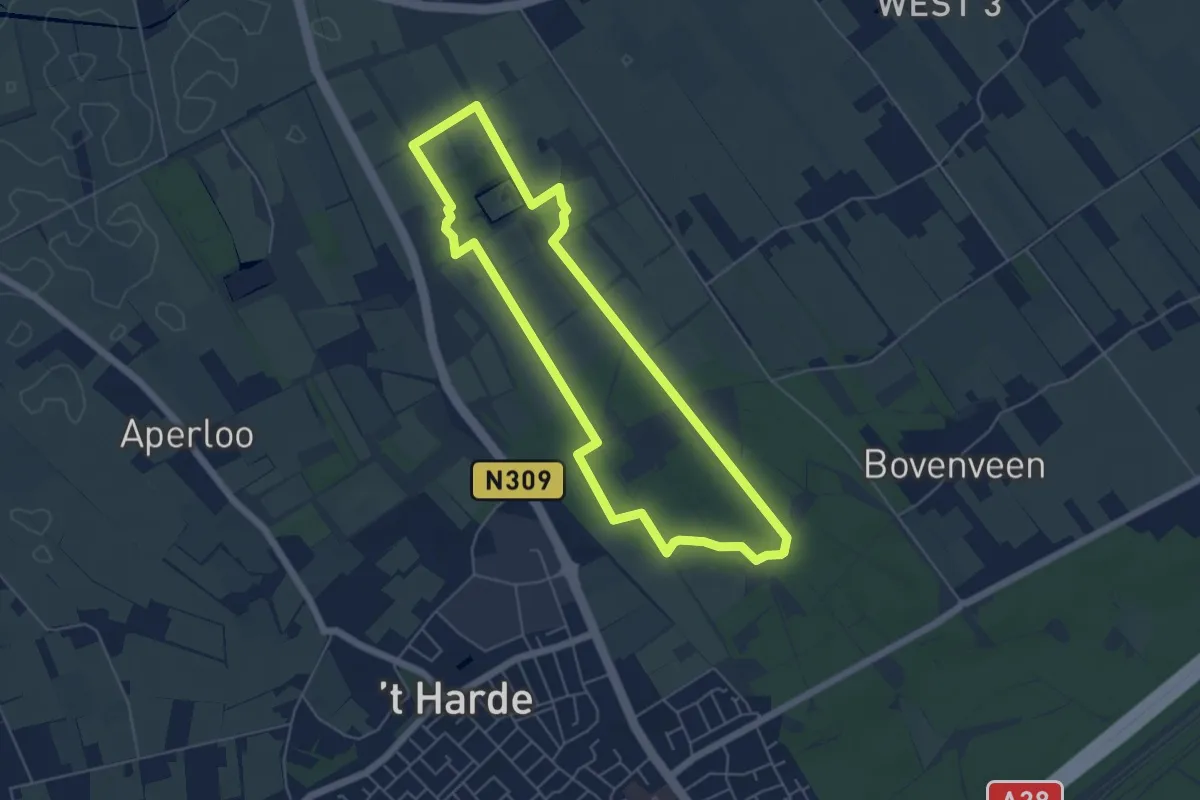
Easy · Summit
WNW Veluwe - Zwaluwenburg - rode route
4.7 km · ↑ 22 m · 1 h 13 min
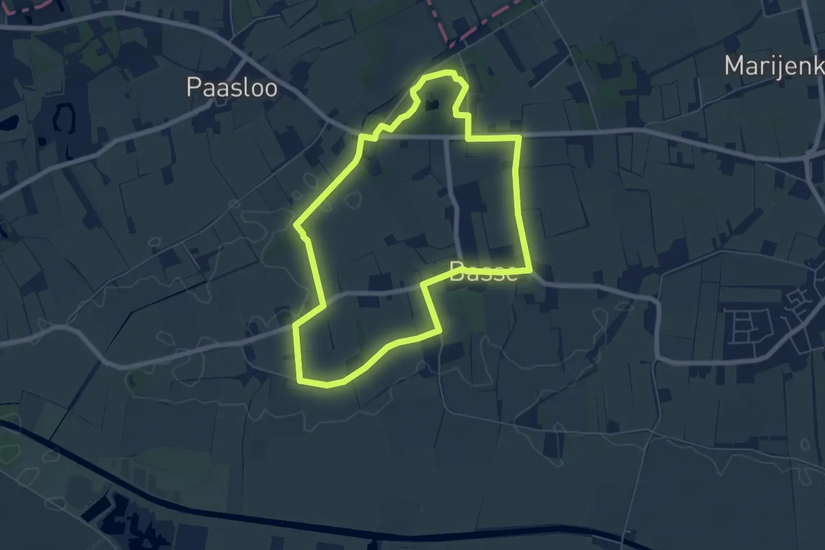
Easy · Trail
WNW WaterReijk -Basse - oranje route
5.3 km · ↑ 4 m · 1 h 21 min
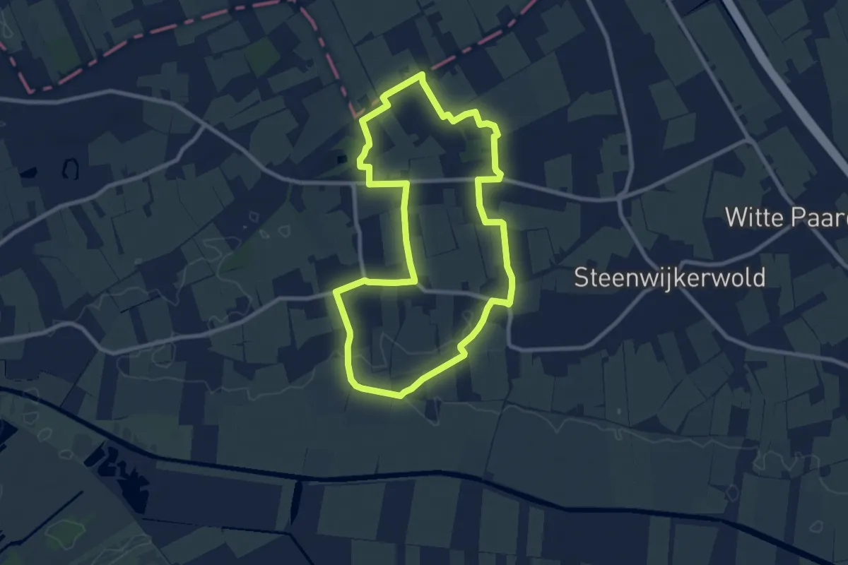
Easy · Trail
WNW WaterReijk -Basse - rode route
7.3 km · ↑ 9 m · 1 h 51 min
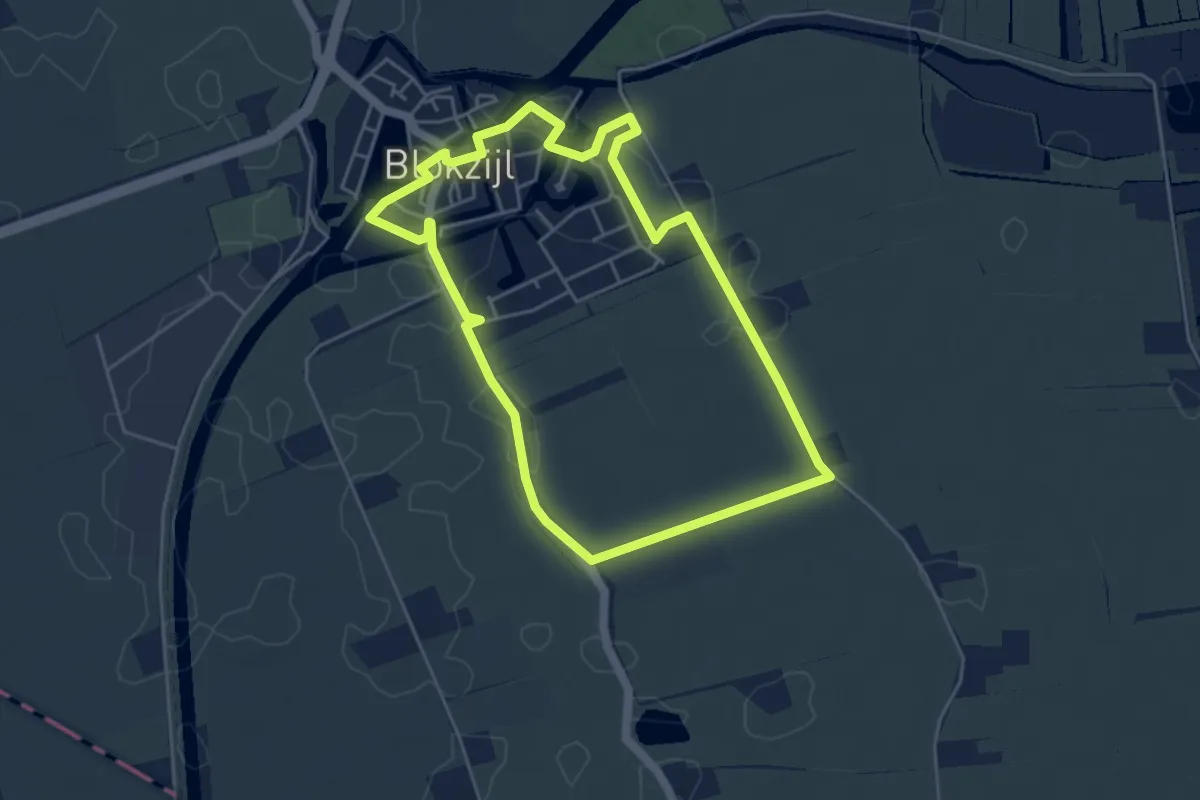
Easy · Trail
WNW WaterReijk - Blokzijl- blauwe route
4.1 km · ↑ 4 m · 1 h 2 min
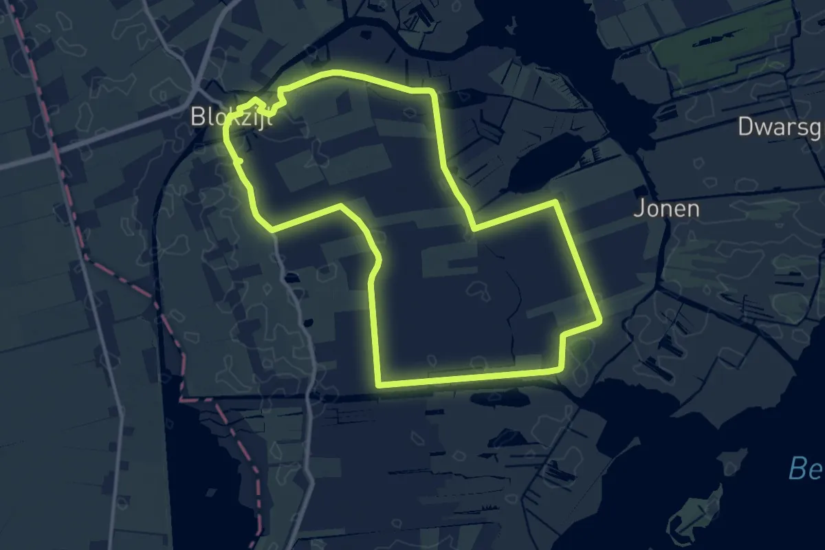
Medium · Trail
WNW WaterReijk - Blokzijl - gele route
11.1 km · ↑ 4 m · 2 h 47 min
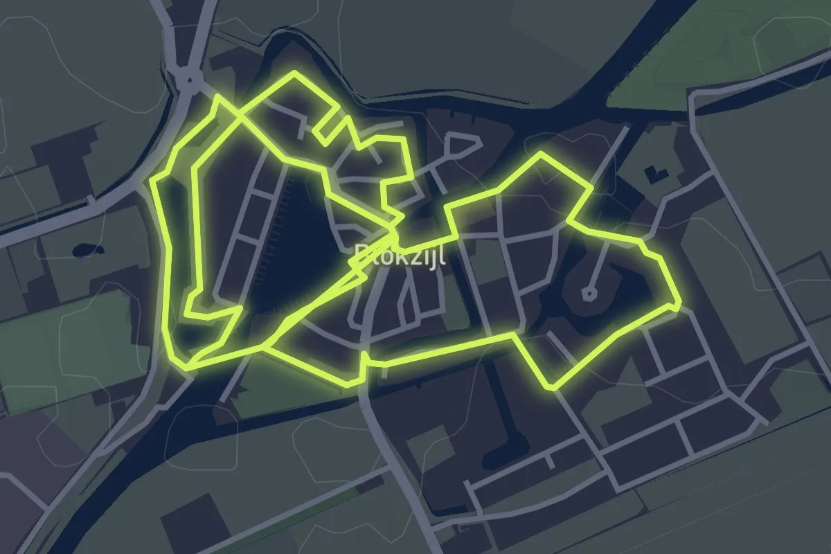
Easy · Trail
WNW WaterReijk - Blokzijl- paarse route
4.0 km · ↑ 0 m · 1 h
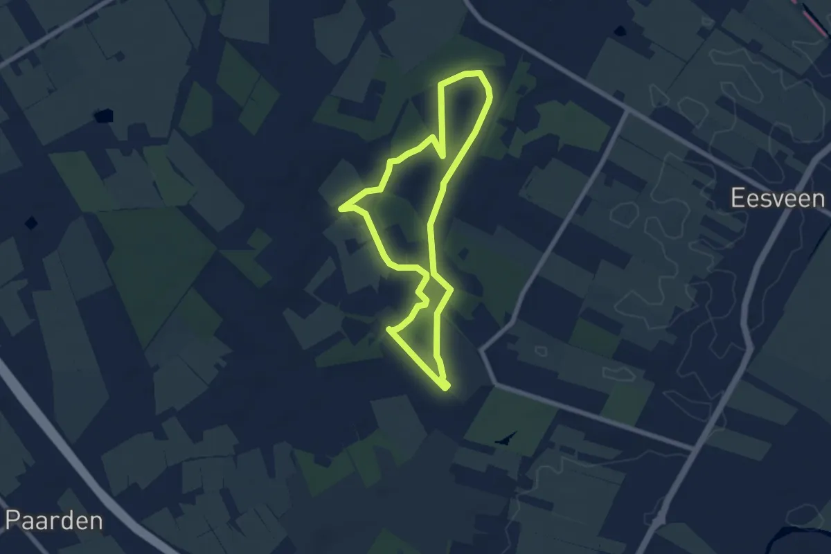
Easy · Trail
WNW WaterReijk - De Bult - paarse route
5.0 km · ↑ 9 m · 1 h 16 min
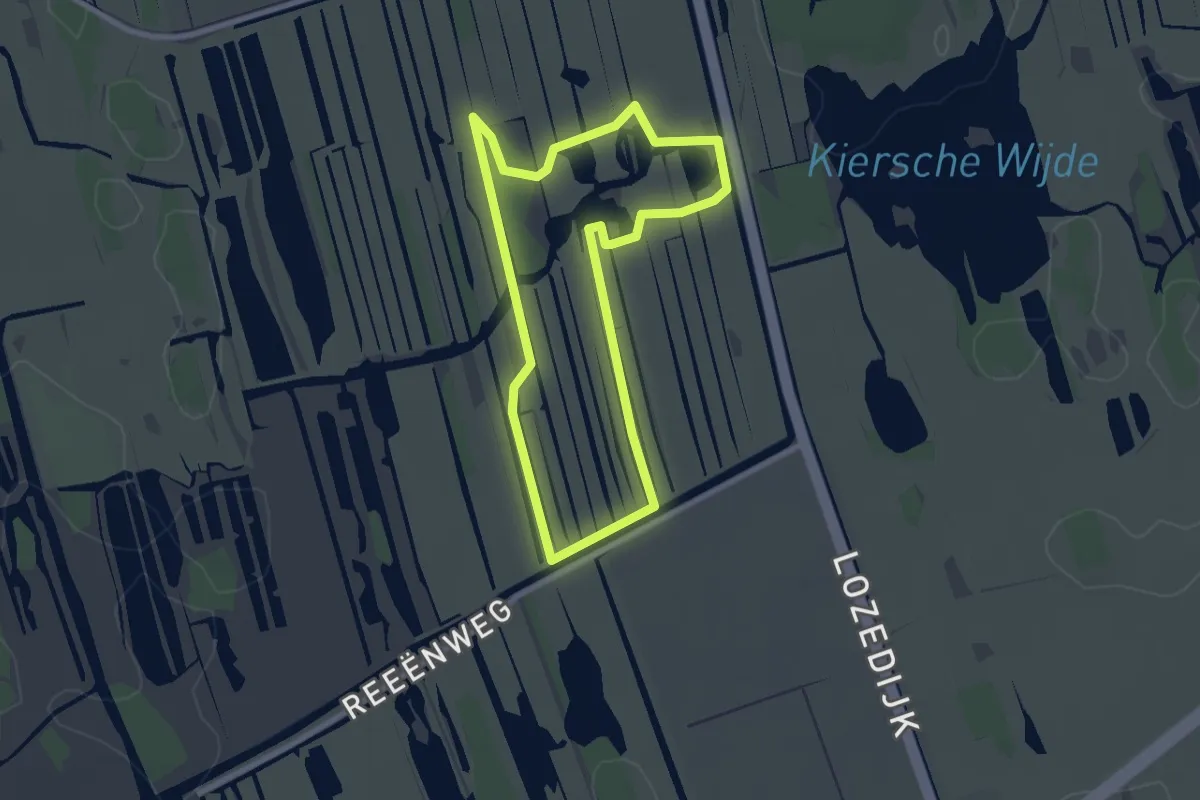
Easy · Trail
WNW WaterReijk - De Kiersche Wijde - blauwe route
2.2 km · ↑ 0 m · 33 min
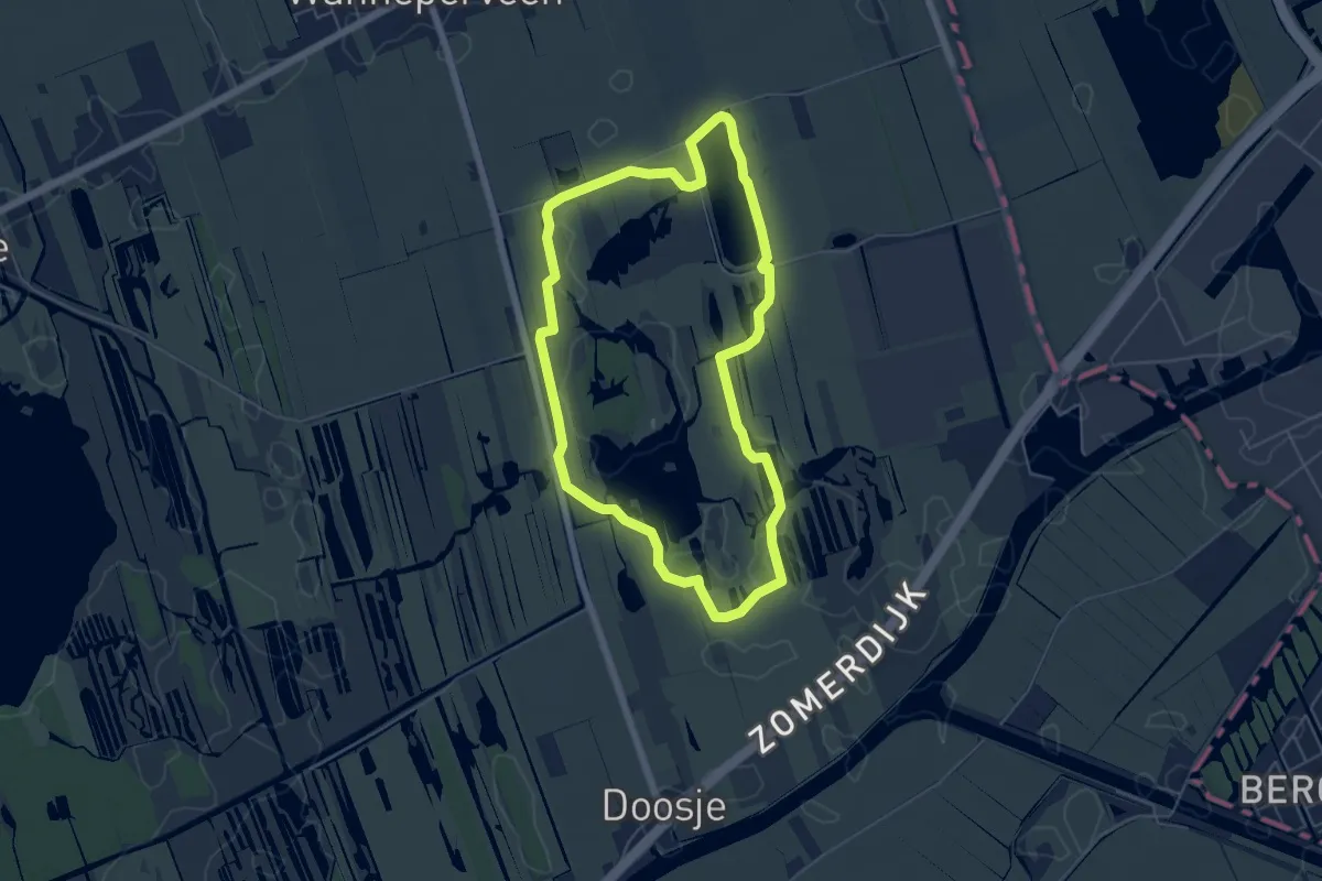
Easy · Trail
WNW WaterReijk - De Kiersche Wijde - gele route
4.7 km · ↑ 0 m · 1 h 10 min
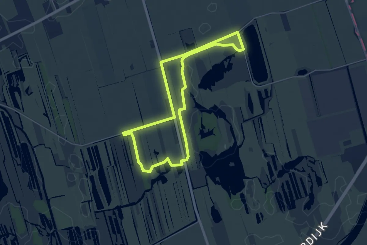
Easy · Trail
WNW WaterReijk - De Kiersche Wijde - paarse route
4.1 km · ↑ 0 m · 1 h 1 min
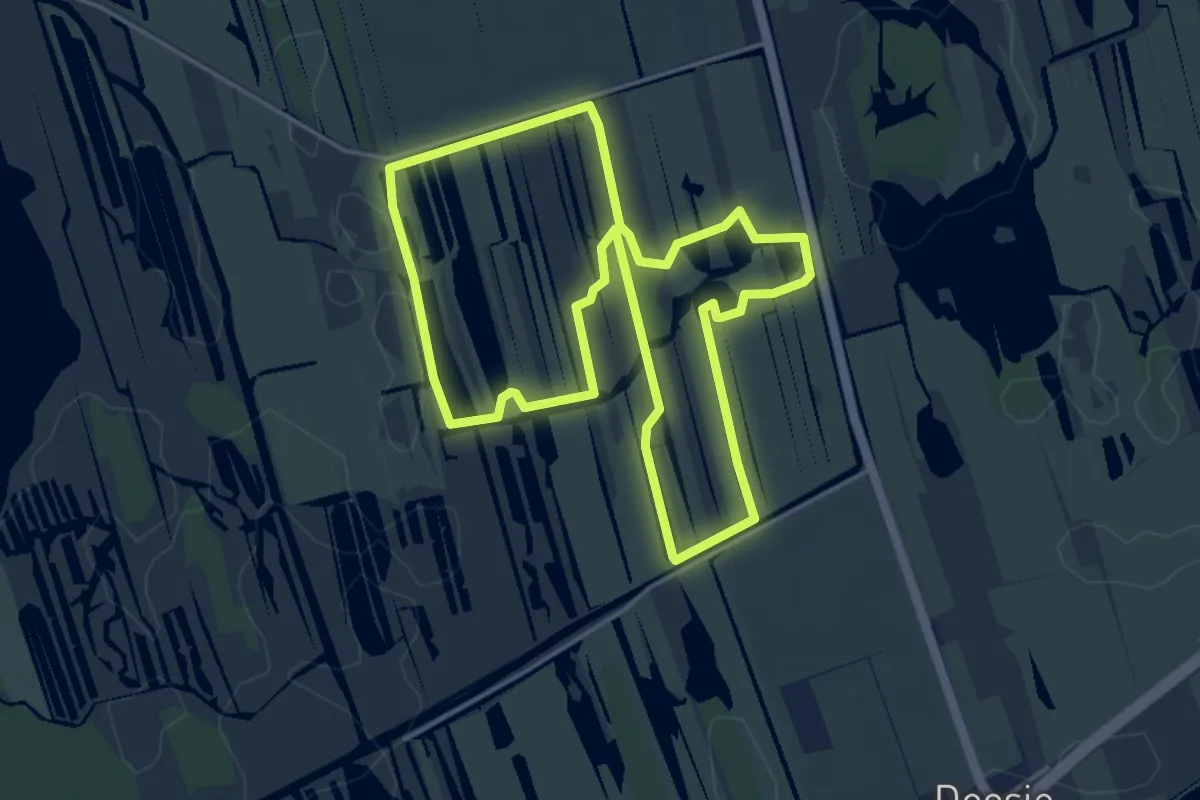
Easy · Trail
WNW WaterReijk - De Kiersche Wijde - rode route
4.1 km · ↑ 0 m · 1 h 1 min
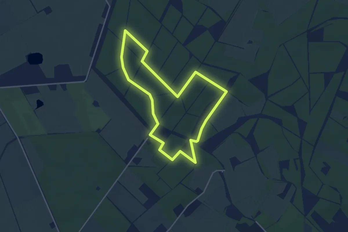
Easy · Trail
WNW WaterReijk - Eeserveld - blauwe route
3.0 km · ↑ 13 m · 47 min
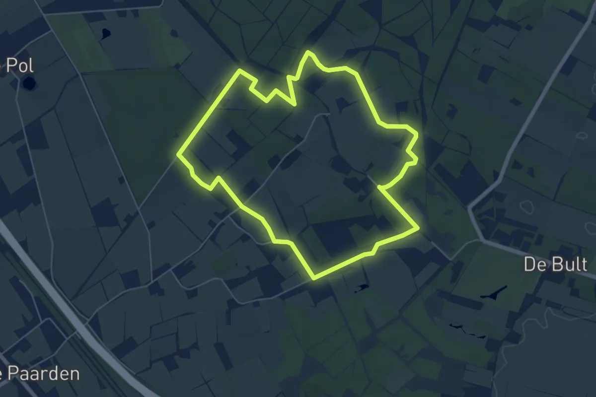
Easy · Trail
WNW WaterReijk - Eeserveld/De Bult - oranje route
4.9 km · ↑ 14 m · 1 h 16 min
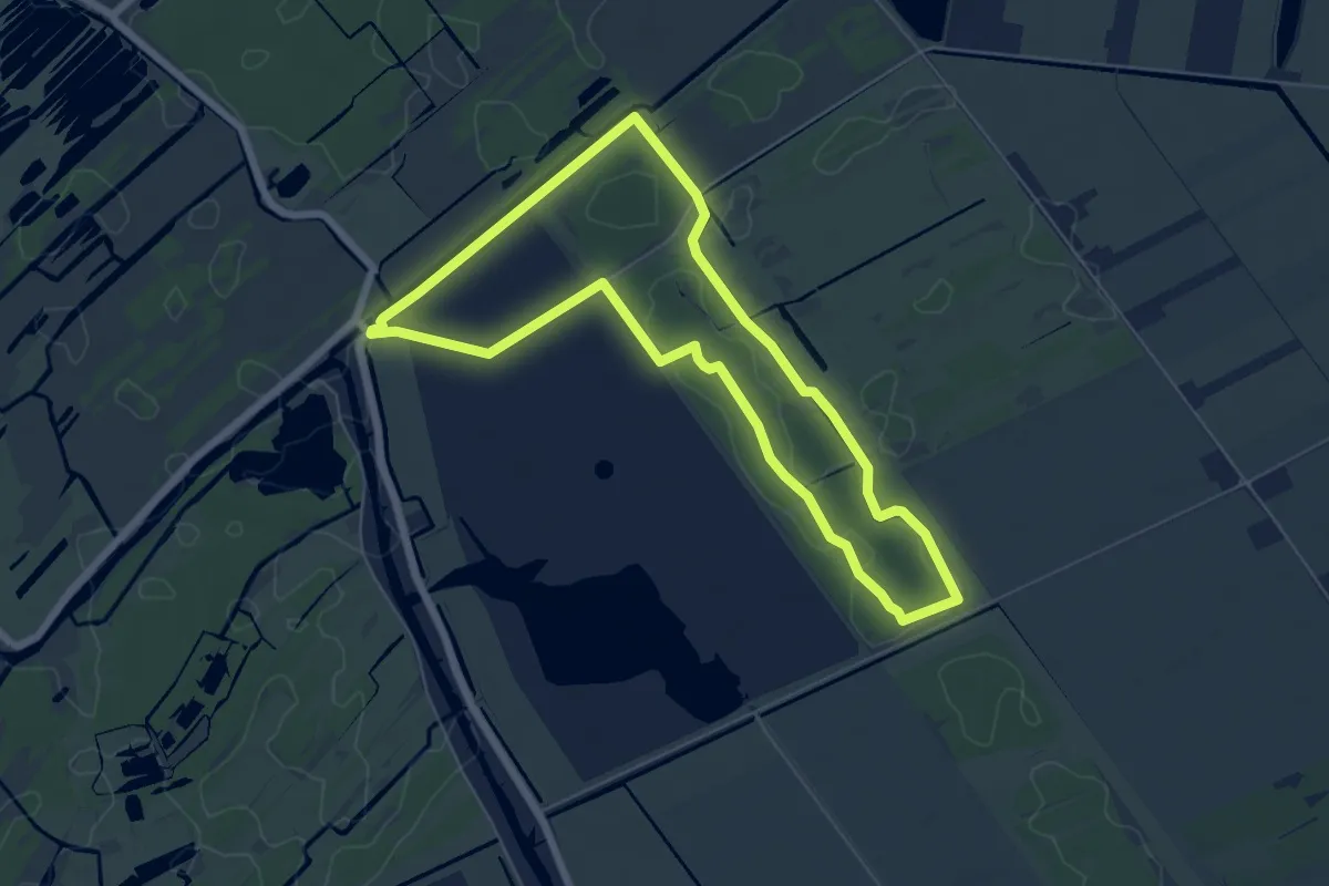
Easy · Trail
WNW WaterReijk - Flodderbrug - blauwe route
5.5 km · ↑ 0 m · 1 h 23 min
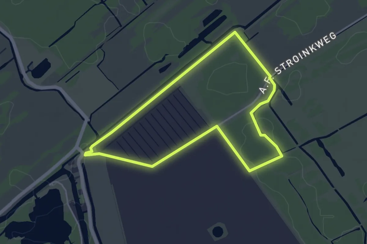
Easy · Trail
WNW WaterReijk - Flodderbrug - oranje route
3.2 km · ↑ 0 m · 49 min
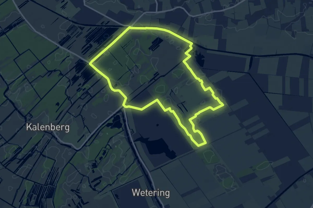
Medium · Trail
WNW WaterReijk - Flodderbrug - rode route
10.4 km · ↑ 8 m · 2 h 36 min
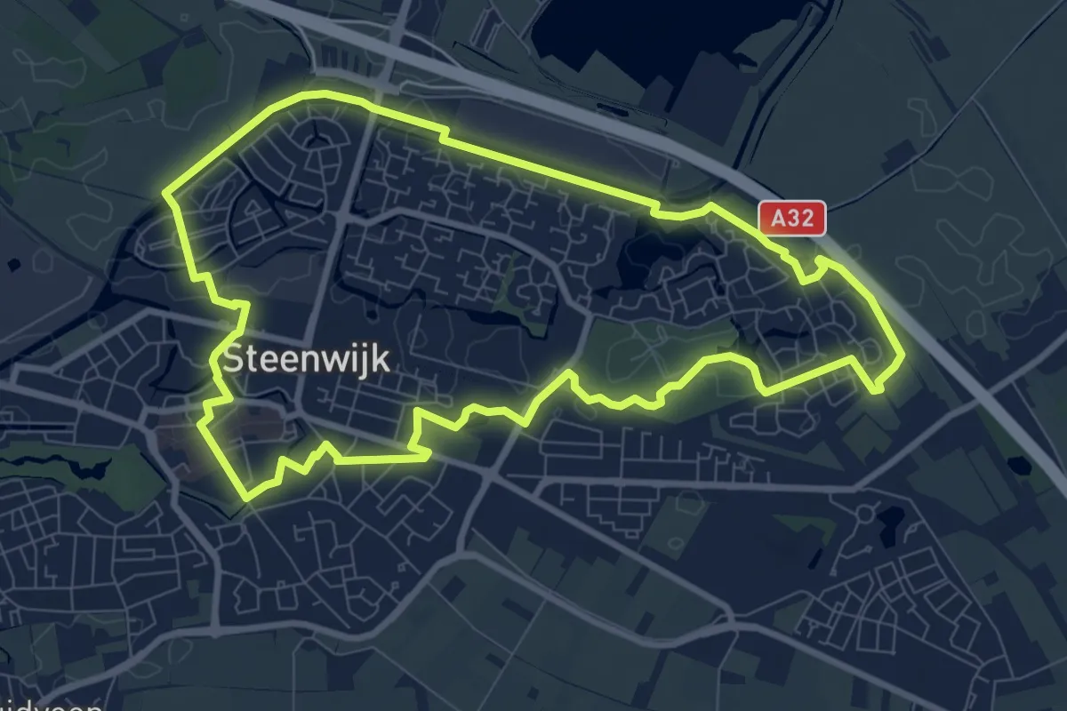
Medium · Trail
WNW WaterReijk - Gasthuispoort/Steenwijk-Station - paarse route
8.1 km · ↑ 4 m · 2 h 3 min
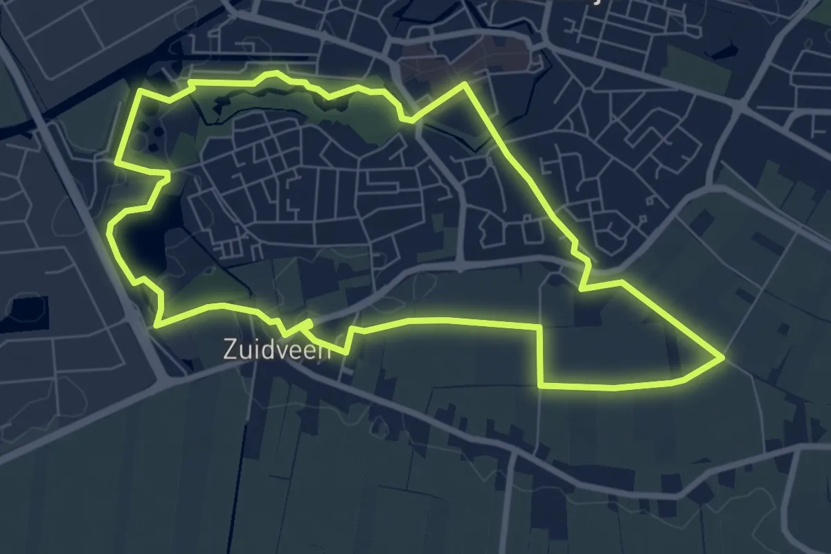
Easy · Trail
WNW WaterReijk - Gasthuispport - blauwe route
6.5 km · ↑ 8 m · 1 h 39 min
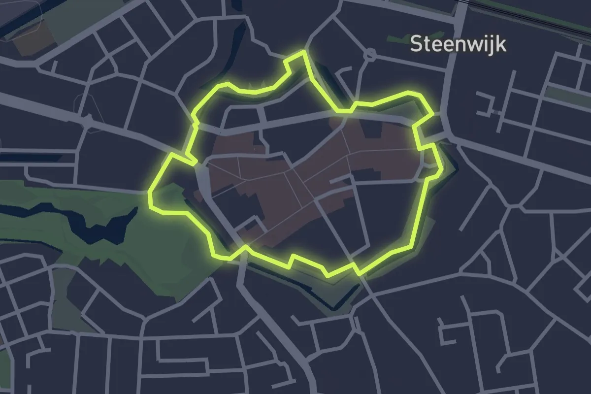
Easy · Trail
WNW WaterReijk - Gasthuispport - groene route
2.1 km · ↑ 4 m · 33 min
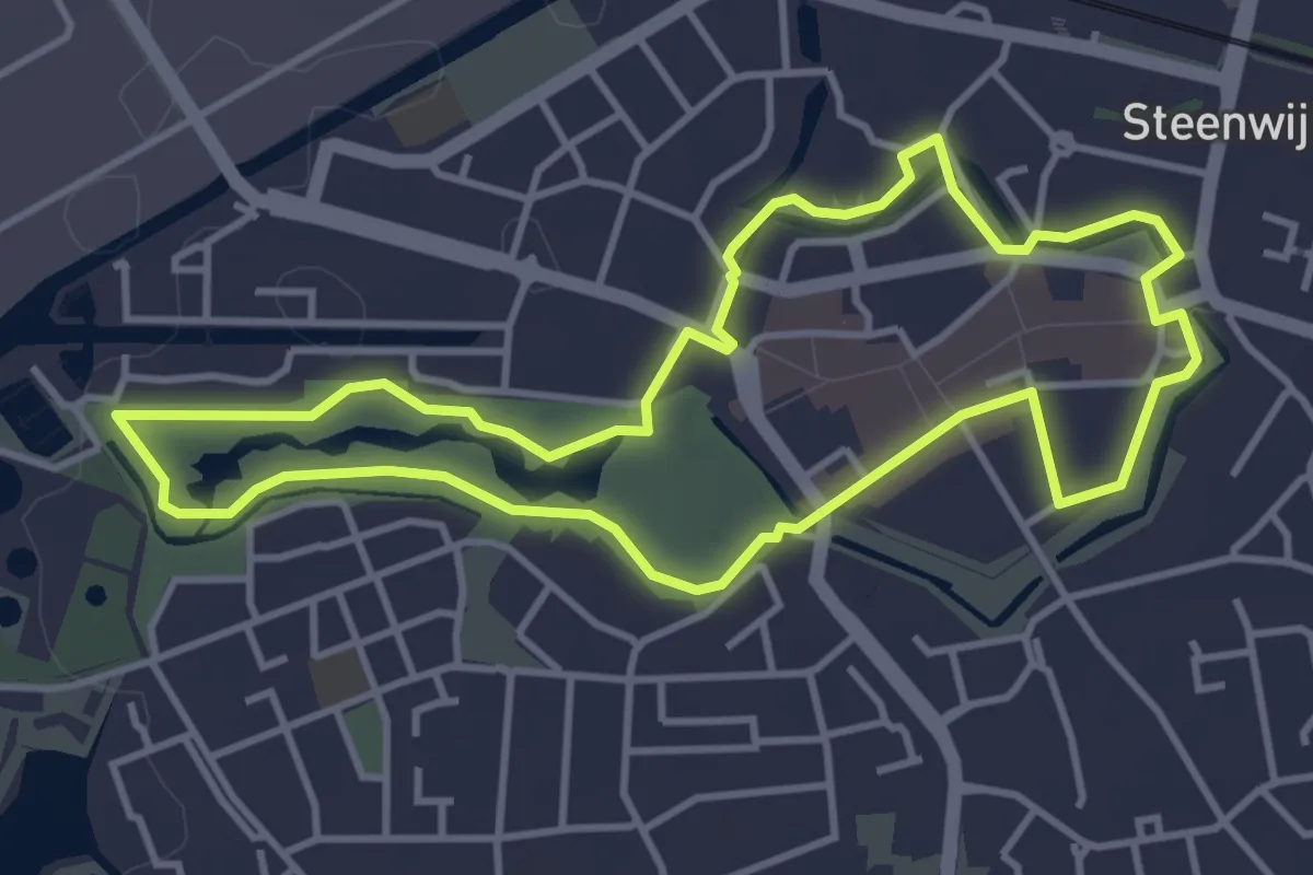
Easy · Trail
WNW WaterReijk - Gasthuispport/Steenwijk-Station - rode route
3.5 km · ↑ 4 m · 54 min
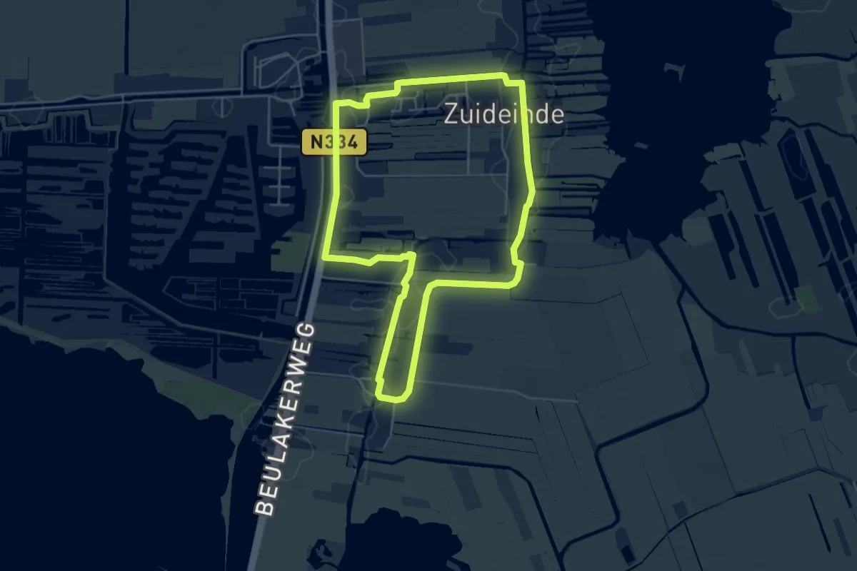
Easy · Trail
WNW WaterReijk - Giethoorn - gele route
4.6 km · ↑ 0 m · 1 h 10 min
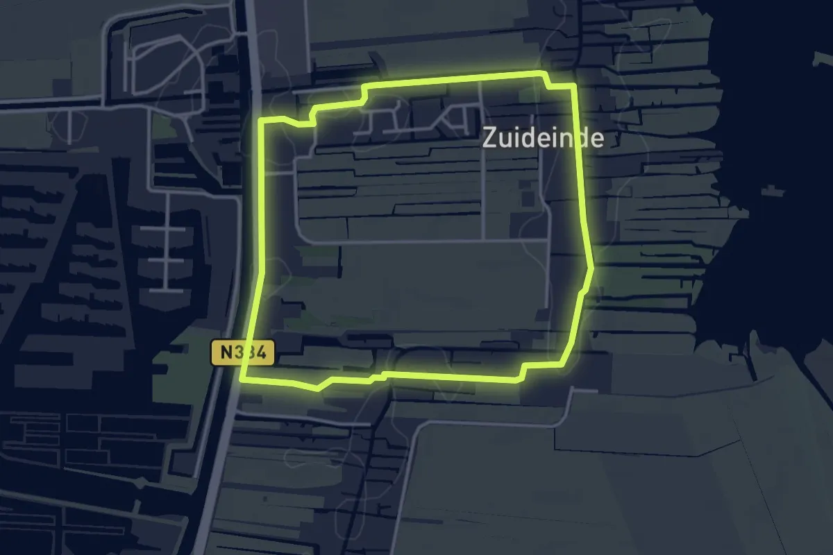
Easy · Trail
WNW WaterReijk - Giethoorn - rode route
3.3 km · ↑ 0 m · 49 min
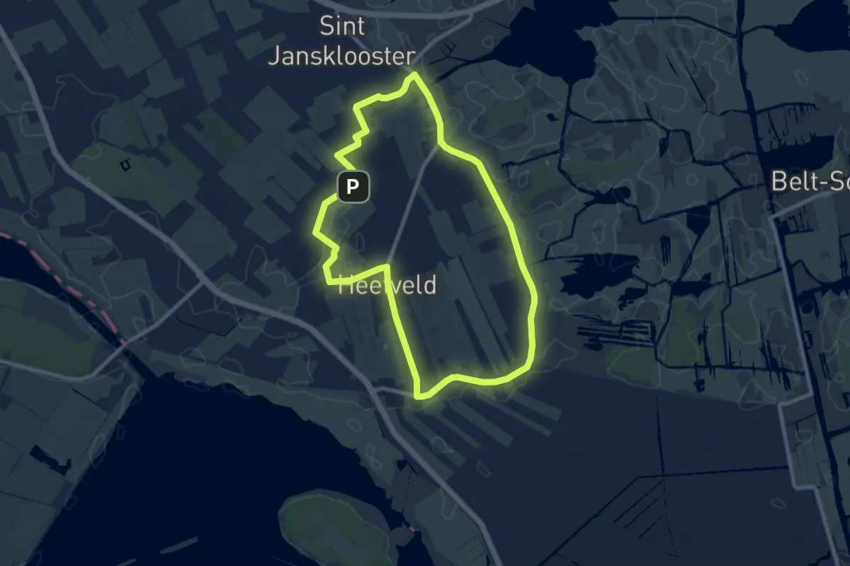
Easy · Trail
WNW WaterReijk - Kadoelen - gele route
7.2 km · ↑ 9 m · 1 h 48 min
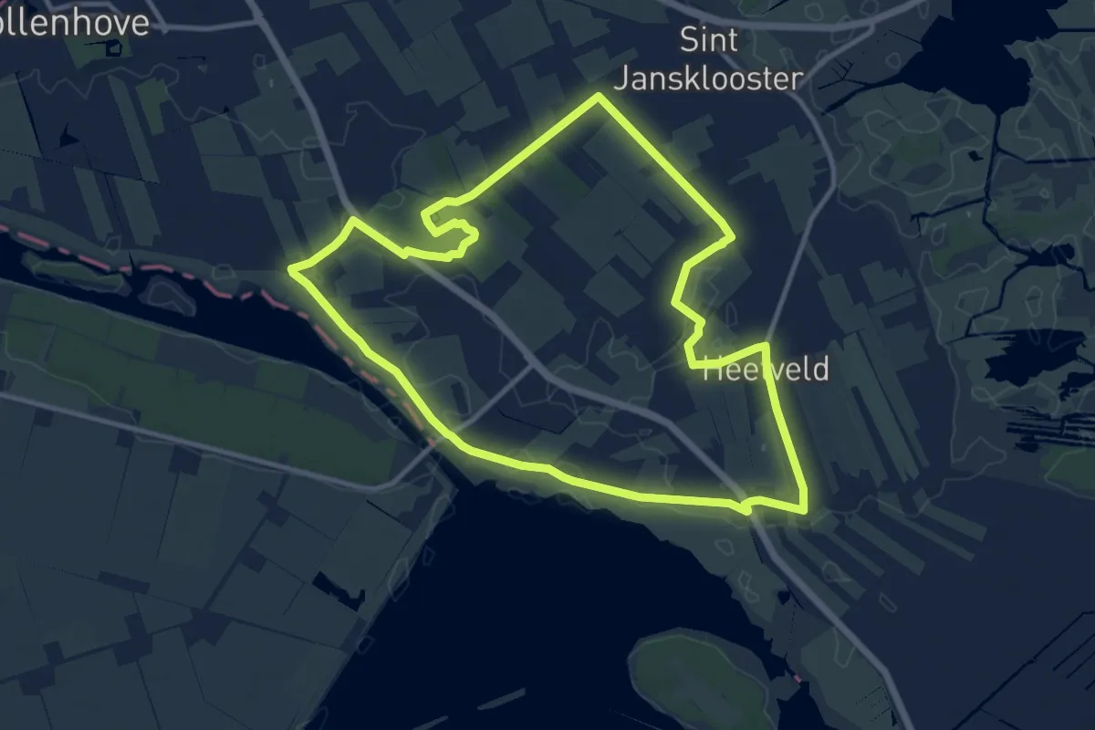
Medium · Trail
WNW WaterReijk - Kadoelen - groene route
10.2 km · ↑ 12 m · 2 h 34 min
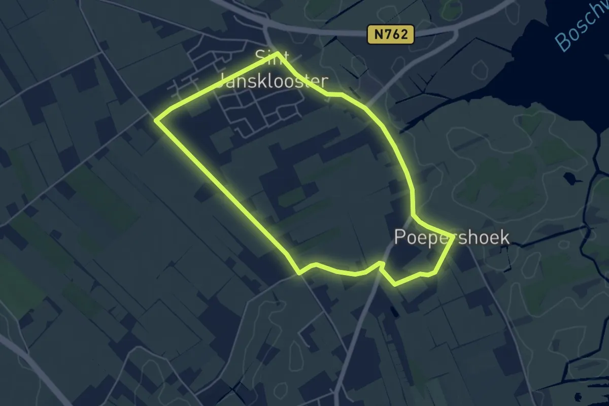
Easy · Trail
WNW WaterReijk - Kadoelen - paarse route
4.3 km · ↑ 4 m · 1 h 4 min
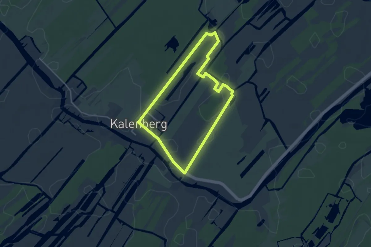
Easy · Trail
WNW WaterReijk - Kalenberg - blauwe route
2.6 km · ↑ 0 m · 39 min
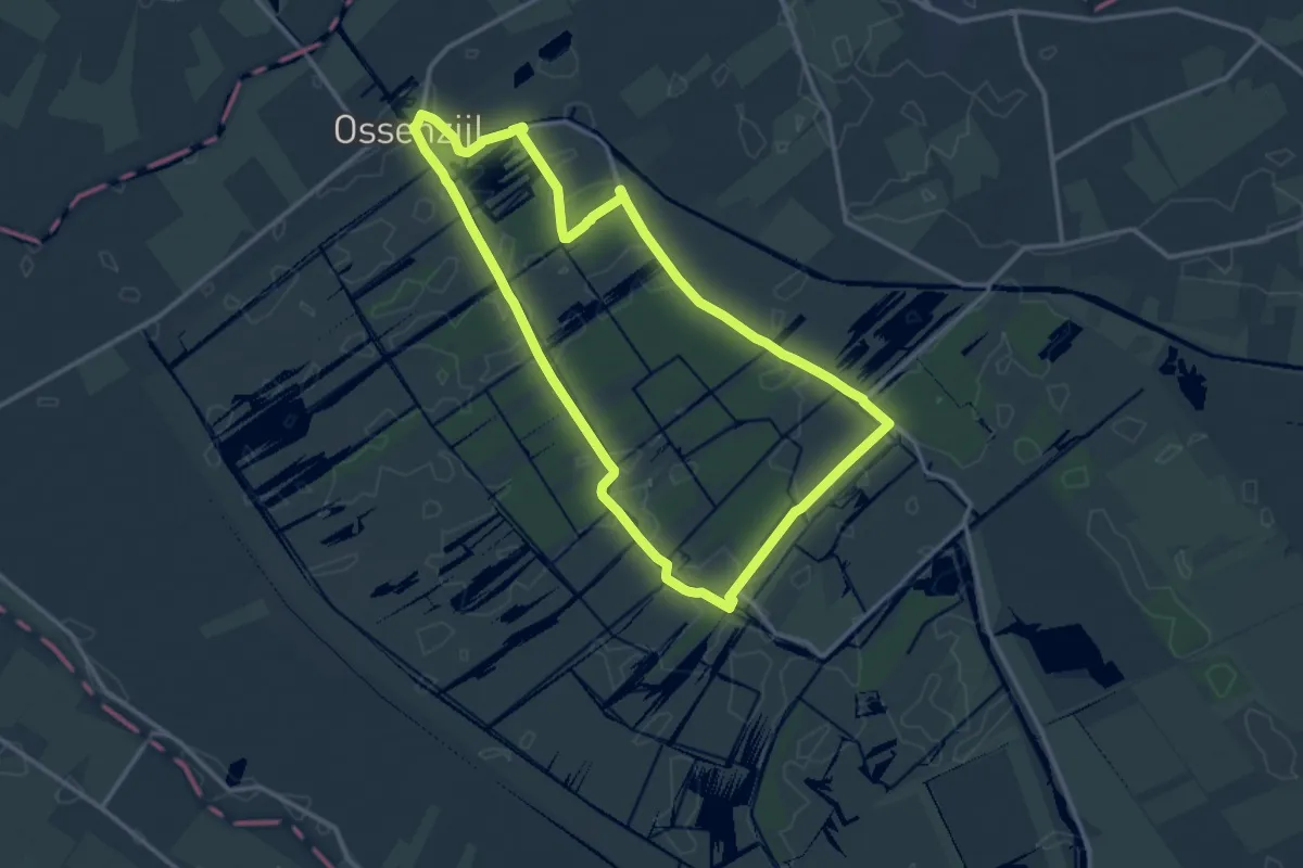
Medium · Trail
WNW WaterReijk - Kalenberg/Ossenzijl - gele route
11.9 km · ↑ 0 m · 2 h 58 min
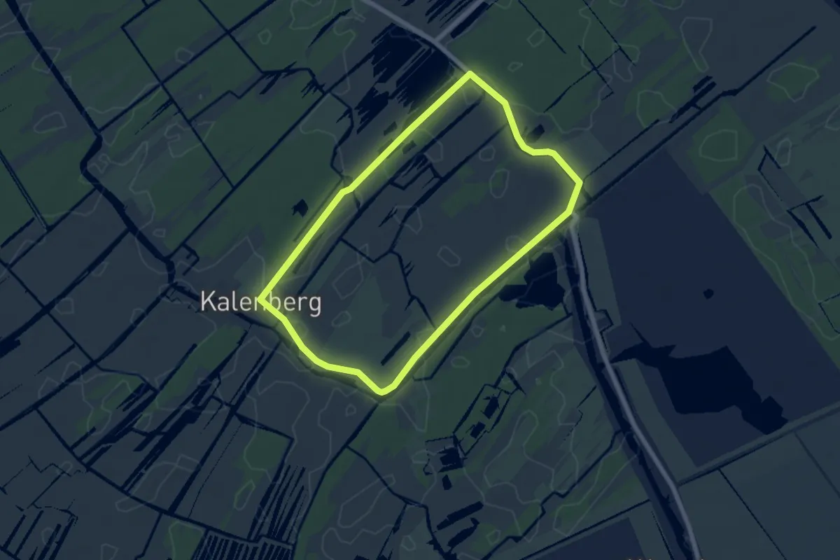
Easy · Trail
WNW WaterReijk - Kalenberg - paarse route
5.2 km · ↑ 0 m · 1 h 17 min
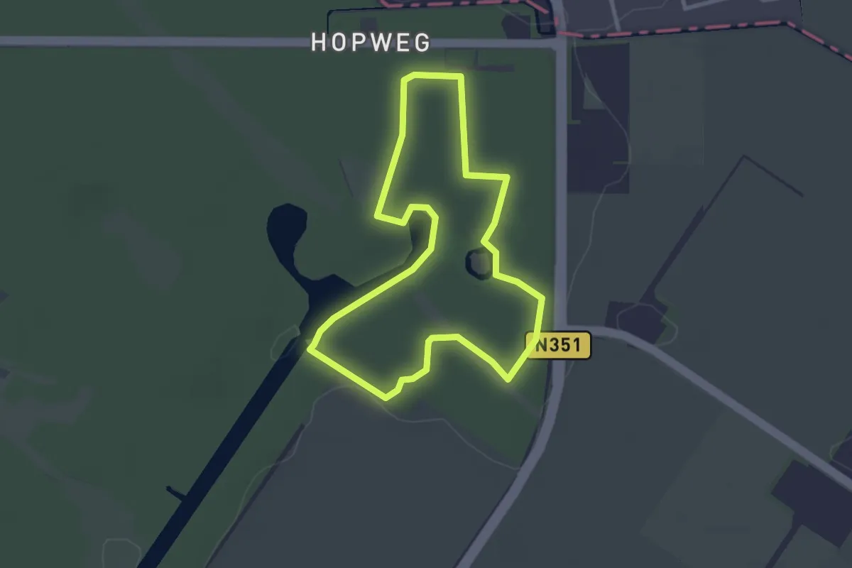
Easy · Trail
WNW WaterReijk -Kuinre - blauwe route
2.4 km · ↑ 4 m · 36 min
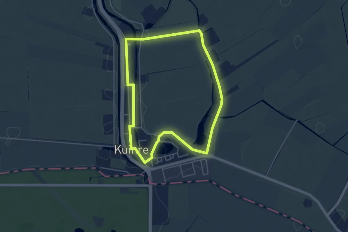
Easy · Trail
WNW WaterReijk -Kuinre - gele route
3.5 km · ↑ 8 m · 53 min
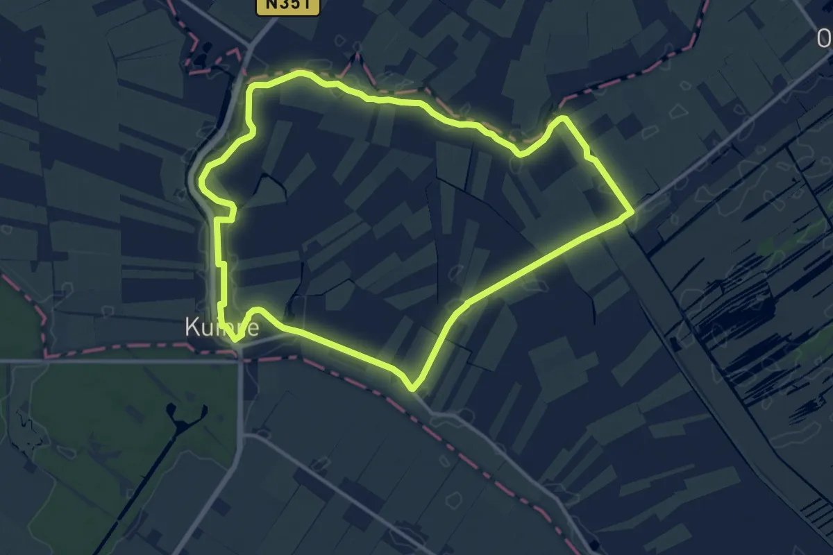
Medium · Trail
WNW WaterReijk -Kuinre - paarse route
10.8 km · ↑ 8 m · 2 h 44 min
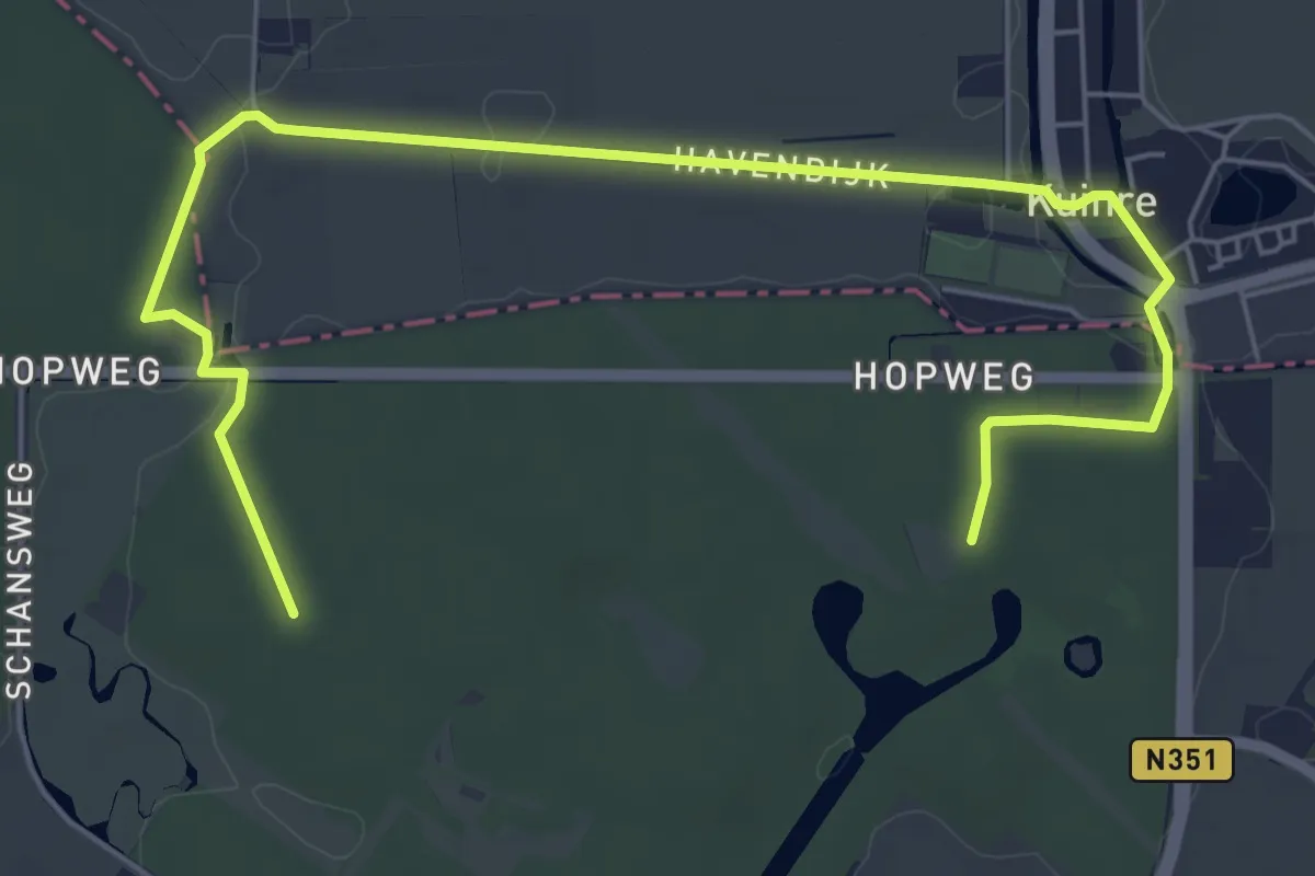
Easy · Trail
WNW WaterReijk -Kuinre - rode route
3.4 km · ↑ 8 m · 53 min
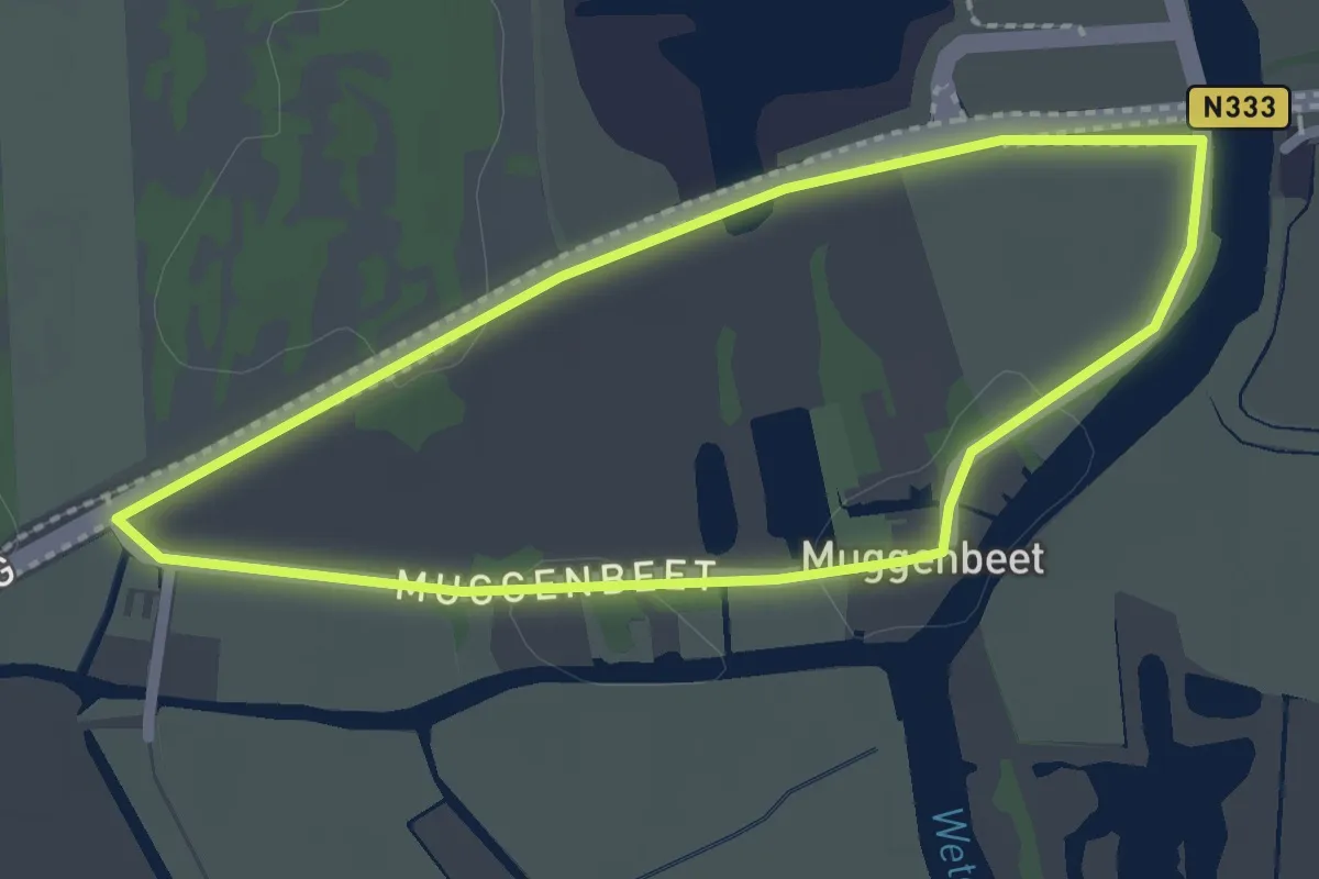
Easy · Trail
WNW WaterReijk - Muggenbeet - oranje route
1.9 km · ↑ 0 m · 28 min
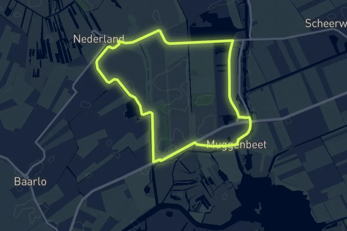
Easy · Trail
WNW WaterReijk - Nederland/Miggenbeet - blauwe route
7.3 km · ↑ 0 m · 1 h 49 min
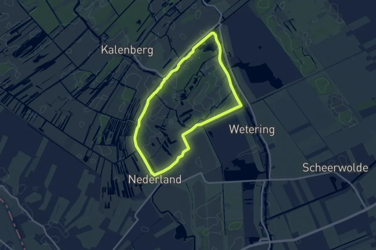
Easy · Trail
WNW WaterReijk - Nederland - oranje route
7.2 km · ↑ 4 m · 1 h 49 min
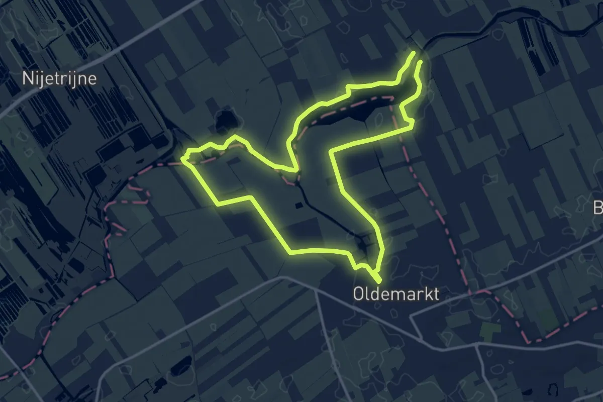
Medium · Trail
WNW WaterReijk -Oldemarkt - blauwe route
10.8 km · ↑ 0 m · 2 h 43 min