Trails in Netherlands
5,039 hiking trails, each with its route, climb, walking time and grade.
All trails, page 105 of 105
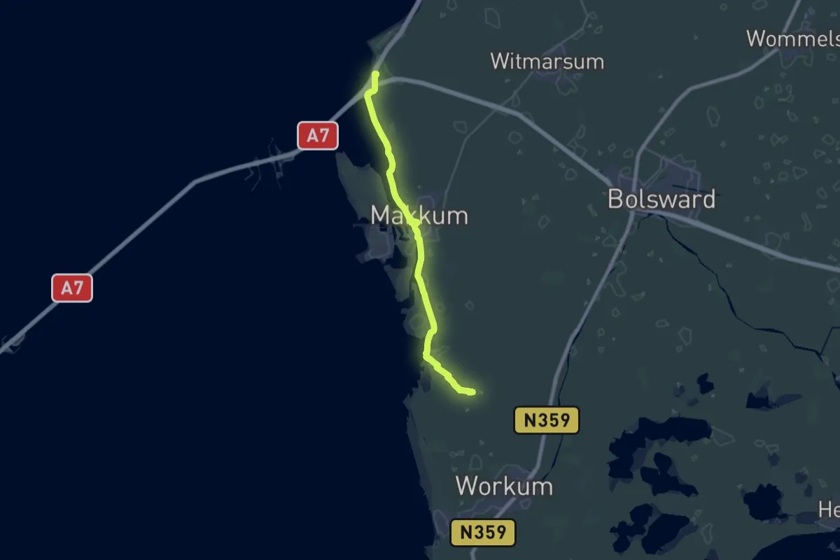
Demanding · Trail
Zuiderzeepad - 24
25.1 km · ↑ 0 m · 5 h 55 min
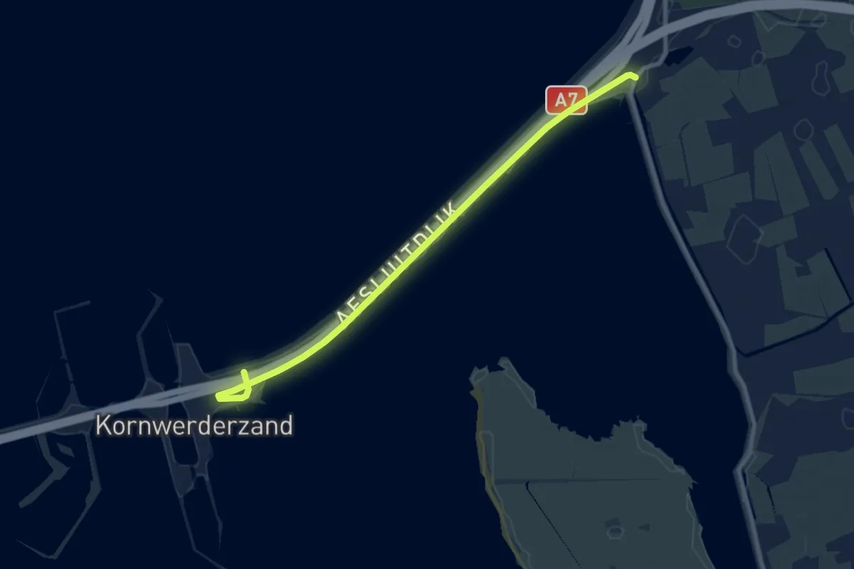
Easy · Trail
Zuiderzeepad - 25
7.7 km · ↑ 4 m · 1 h 50 min
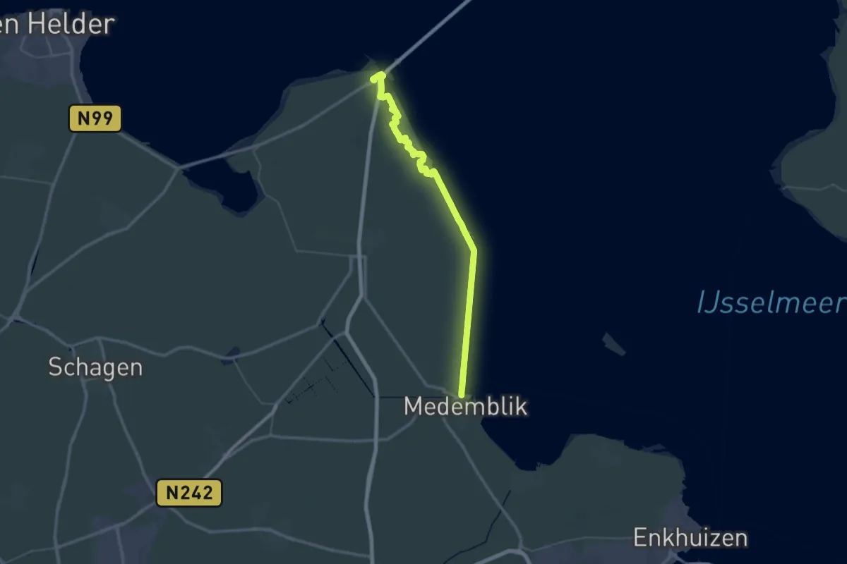
Demanding · Trail
Zuiderzeepad - 26
22.8 km · ↑ 30 m · 5 h 45 min
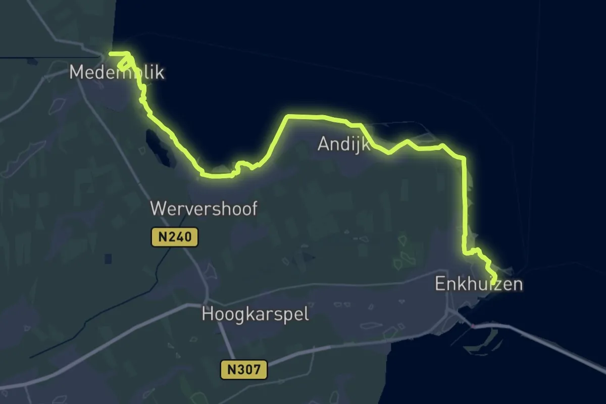
Demanding · Trail
Zuiderzeepad - 27
23.9 km · ↑ 130 m · 6 h 15 min
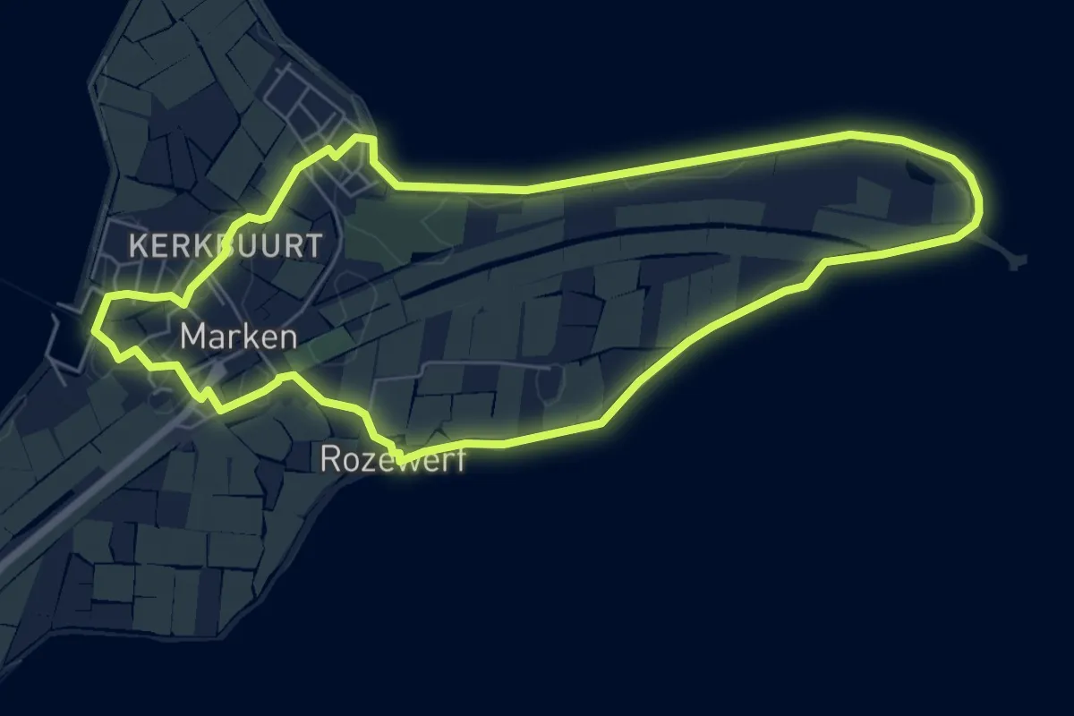
Easy · Trail
Zuiderzeepad - A - Dagwandeling Marken
6.0 km · ↑ 0 m · 1 h 30 min
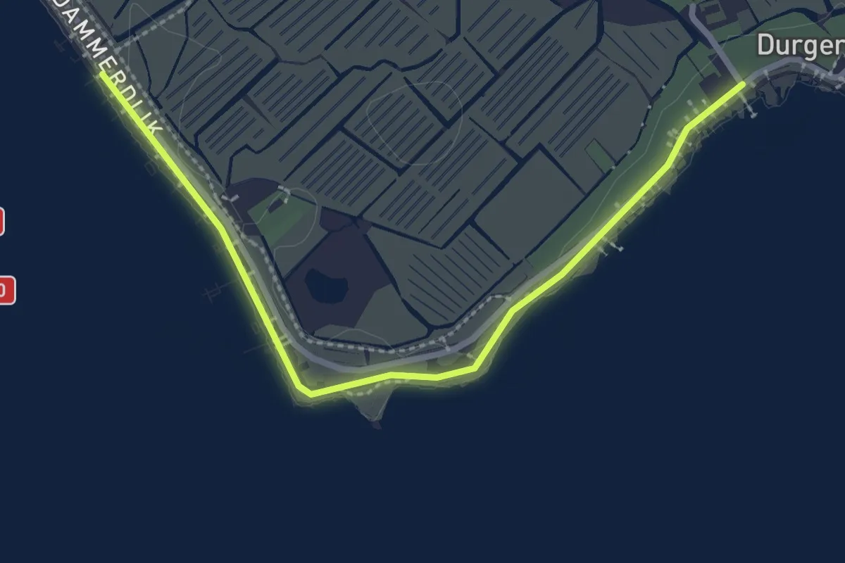
Easy · Trail
Zuiderzeepad, Alternatieve route tijdens broedseizoen (15 maart - 15 juni)
2.5 km · ↑ 0 m · 35 min
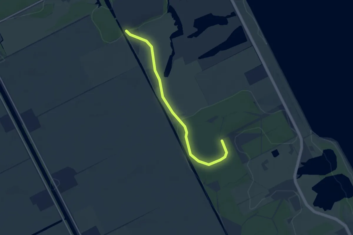
Easy · Trail
Zuiderzeepad, Alternatieve route tijdens broedseizoen (15 maart - 15 juni)
3.0 km · ↑ 13 m · 44 min
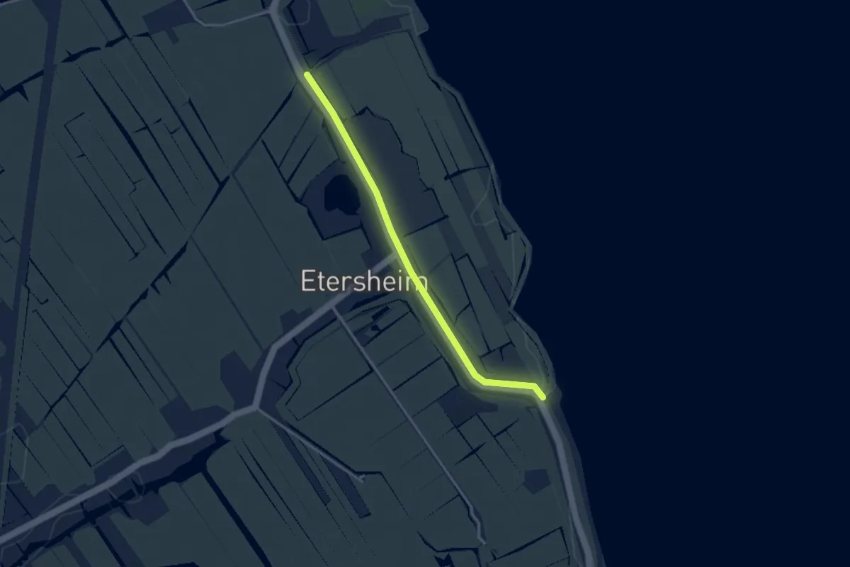
Easy · Trail
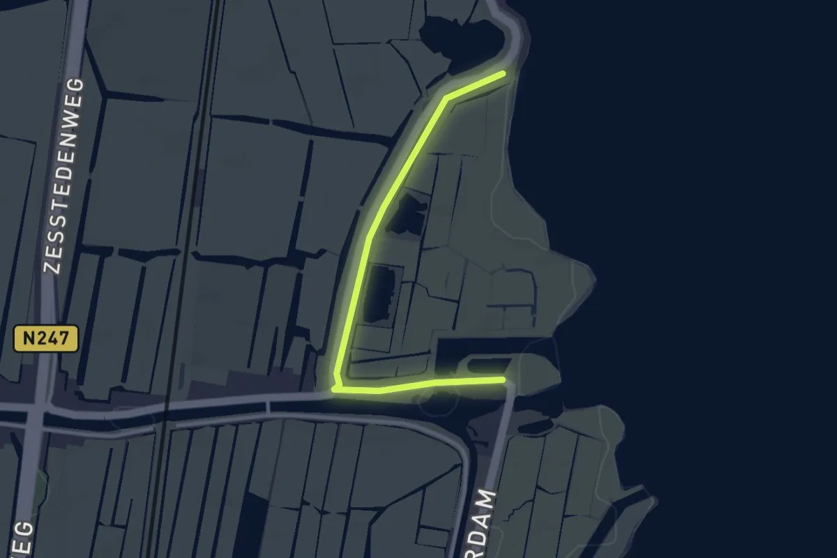
Zuiderzeepad, Alternatieve route tijdens broedseizoen (15 maart - 15 juni)
2.7 km · ↑ 0 m · 38 min
Easy · Trail
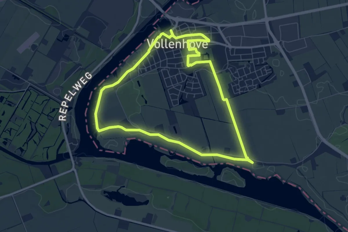
Zuiderzeepad, Alternatieve route tijdens broedseizoen (15 maart - 15 juni)
2.5 km · ↑ 0 m · 36 min
Easy · Trail
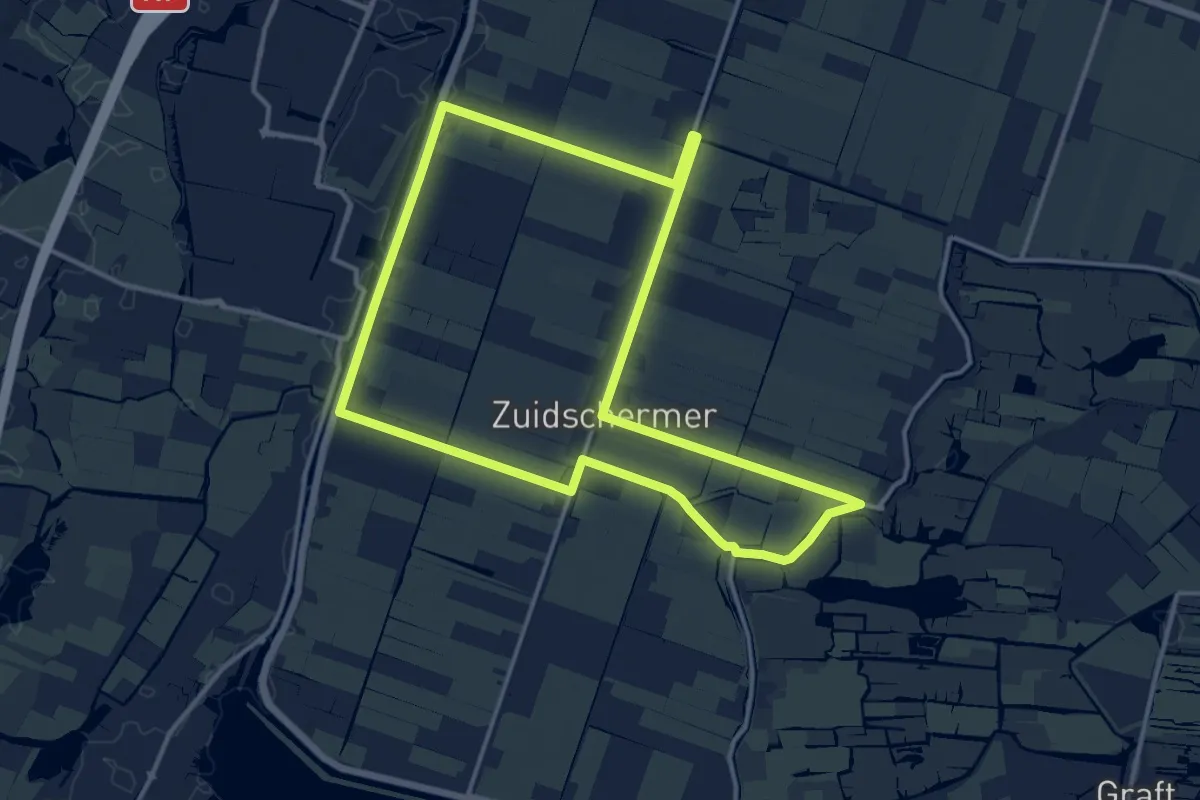
Zuiderzeepad - B - Rondwandeling Vollenhove
6.7 km · ↑ 8 m · 1 h 41 min
Medium · Trail
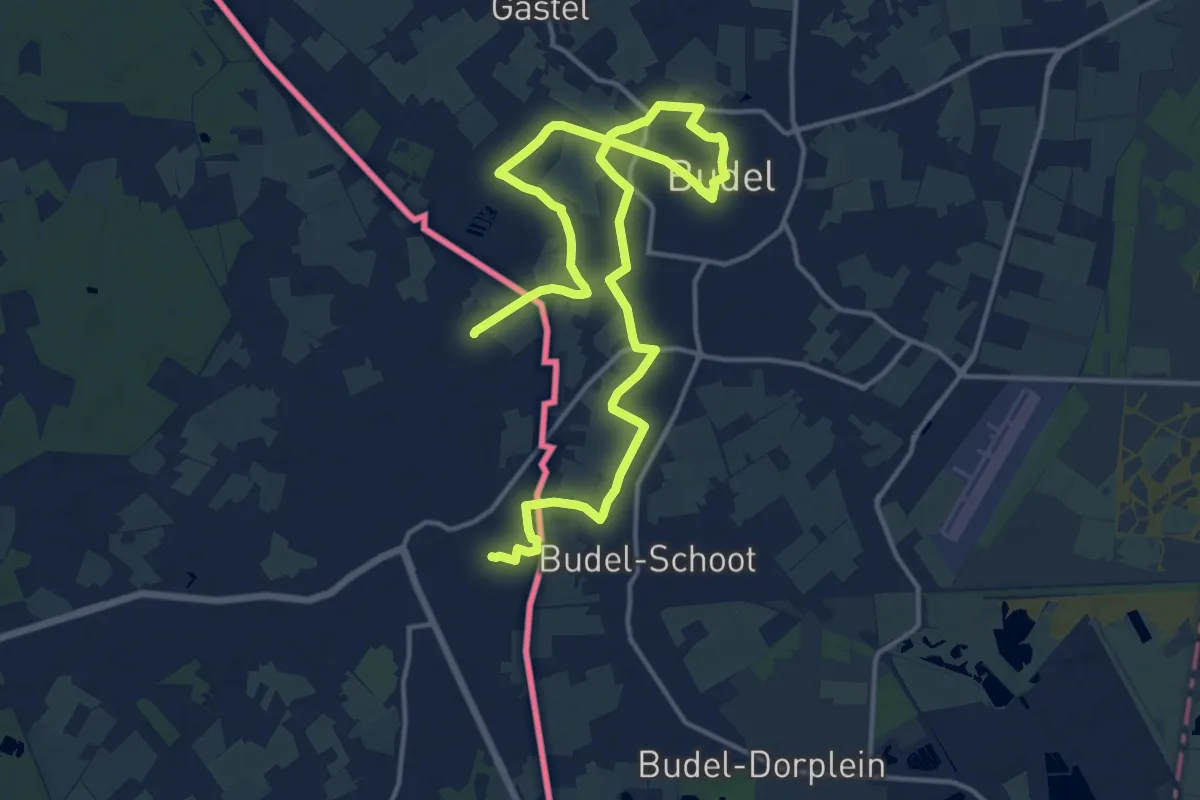
Zuidschermerroute
12.1 km · ↑ 4 m · 3 h 1 min
Demanding · Trail
Zundert
20.1 km · ↑ 21 m · 4 h 47 min
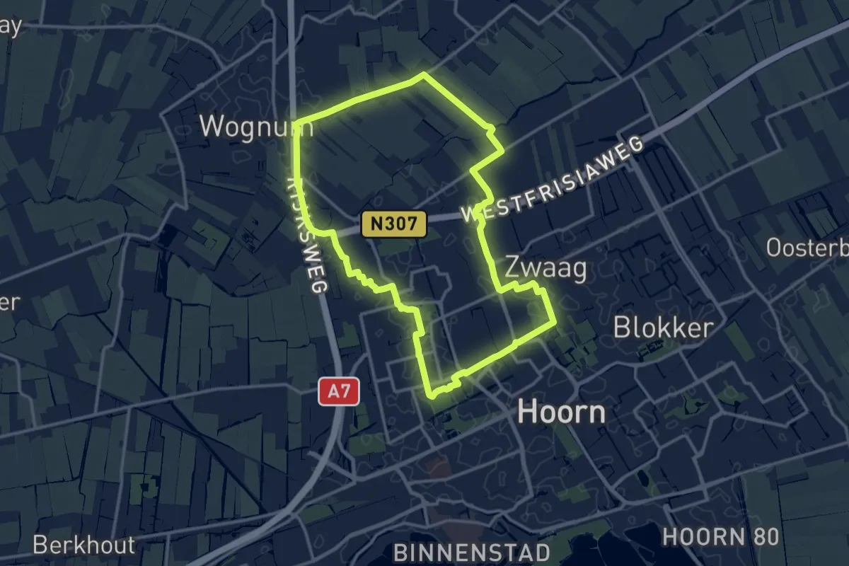
Medium · Trail
Zwaagdijkroute
11.3 km · ↑ 0 m · 2 h 50 min
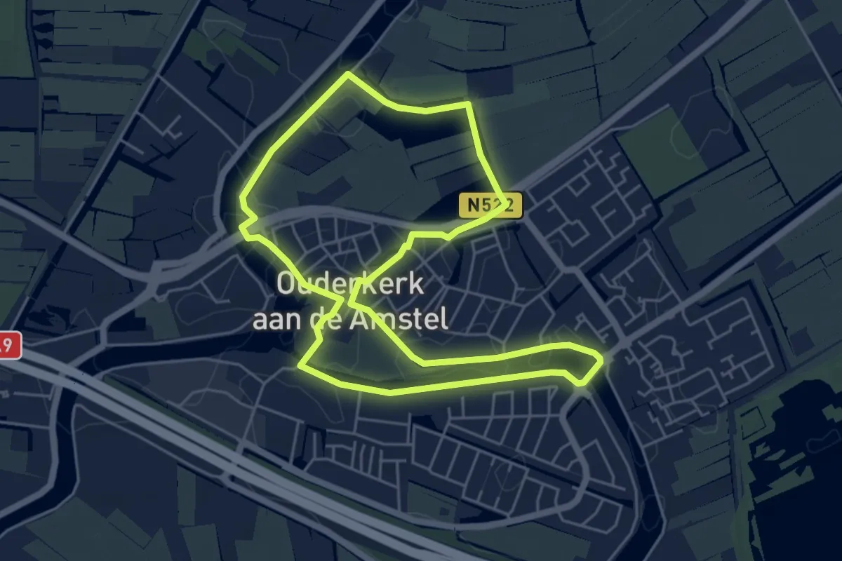
Easy · Trail
Zwaanroute
4.6 km · ↑ 4 m · 1 h 10 min
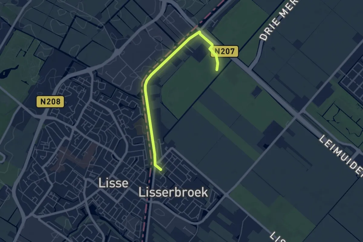
Easy · Trail
Zwaansbroekroute
2.4 km · ↑ 0 m · 37 min
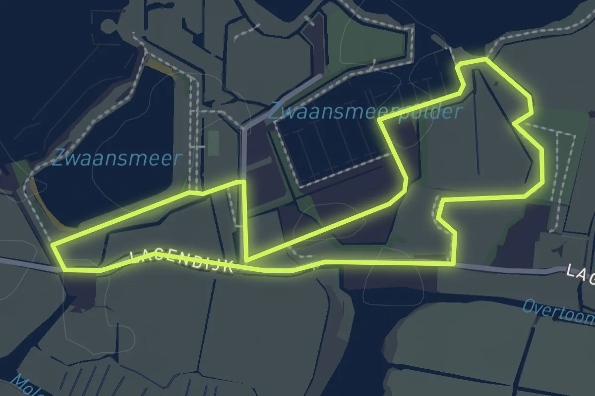
Easy · Trail
Zwaansmeerpadroute
2.4 km · ↑ 0 m · 36 min
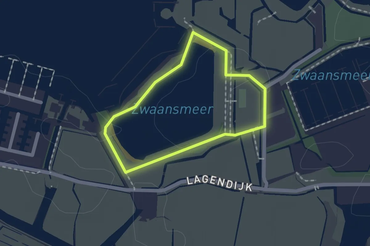
Easy · Trail
Zwaansmeerroute
1.1 km · ↑ 0 m · 16 min
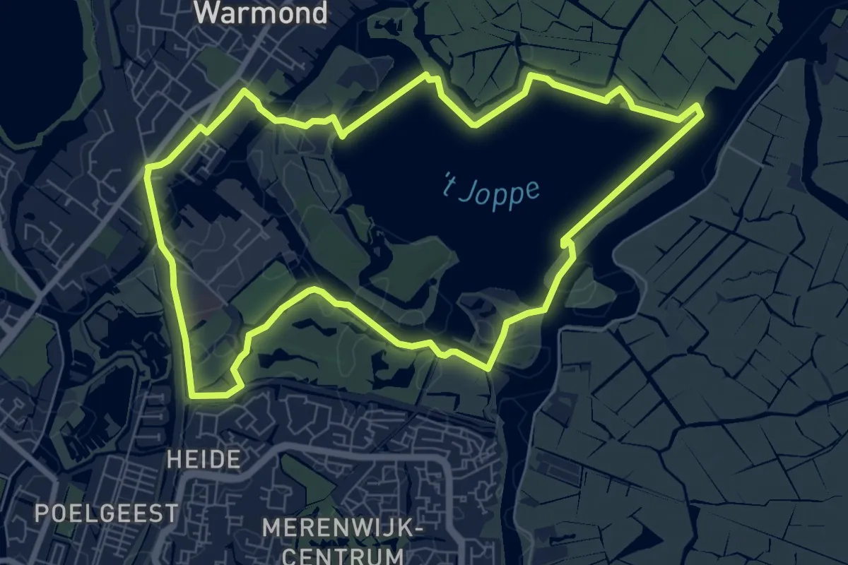
Easy · Trail
Zwanburgerroute
7.0 km · ↑ 4 m · 1 h 46 min
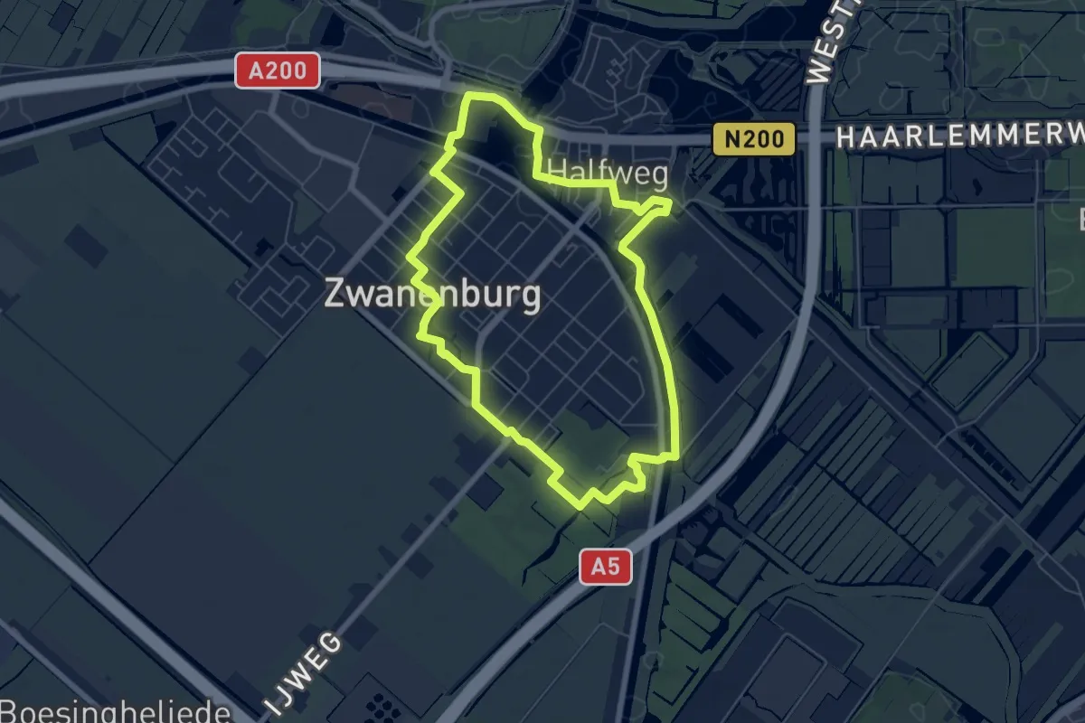
Easy · Trail
Zwanenburgroute
5.7 km · ↑ 4 m · 1 h 26 min
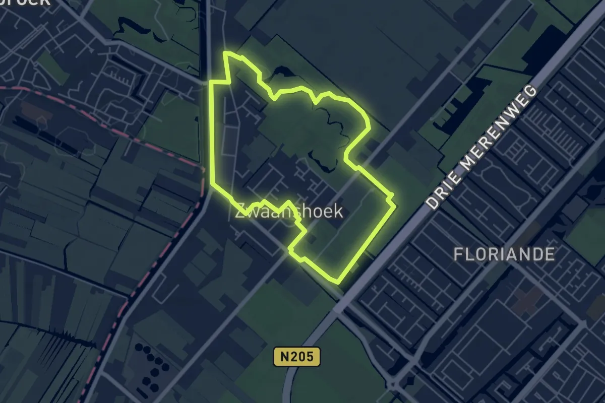
Easy · Trail
Zwanenroute
4.5 km · ↑ 4 m · 1 h 8 min
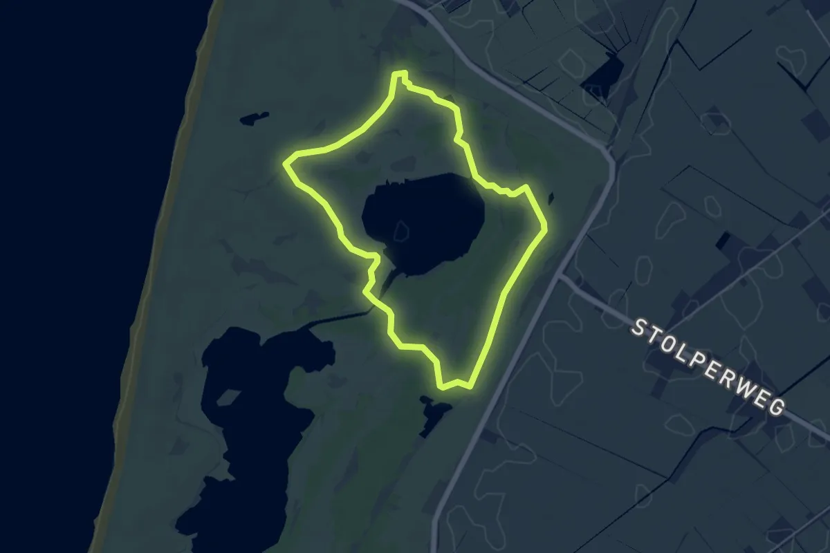
Easy · Trail
Zwanenwater brown circula trail
4.0 km · ↑ 0 m · 1 h
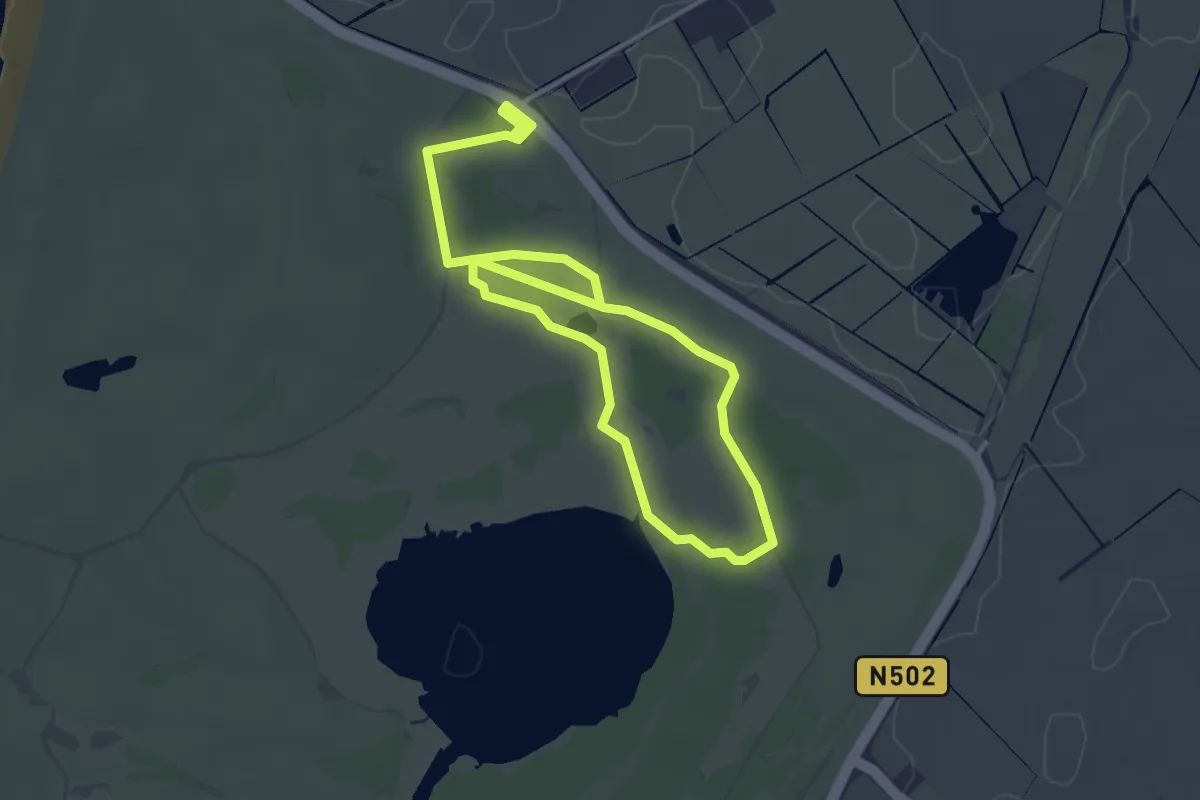
Easy · Trail
Zwanenwater yellow circula trail
2.5 km · ↑ 0 m · 38 min
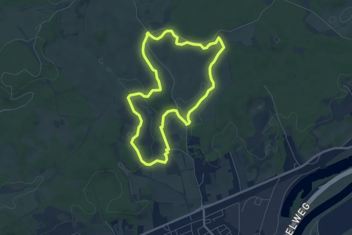
Easy · Trail
Zwarte Wandelroute
5.5 km · ↑ 88 m · 1 h 34 min
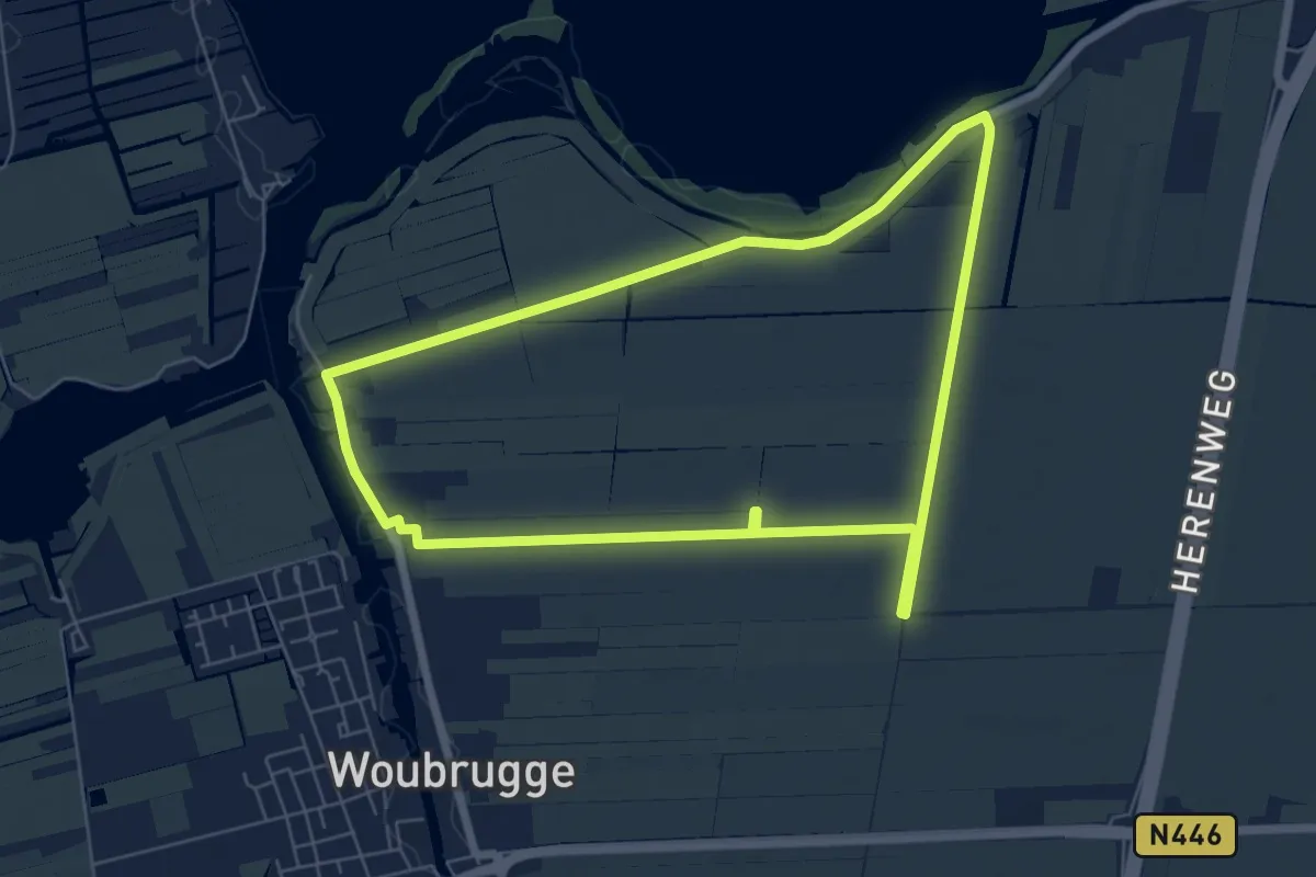
Easy · Trail
Zwetpolderroute
5.9 km · ↑ 4 m · 1 h 29 min
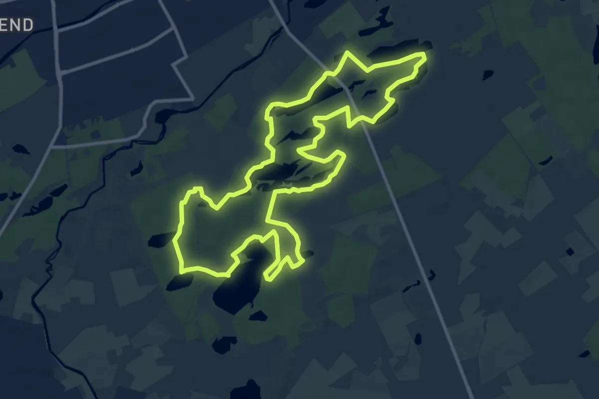
Medium · Trail
14 vennen
9.3 km · ↑ 4 m · 2 h 20 min
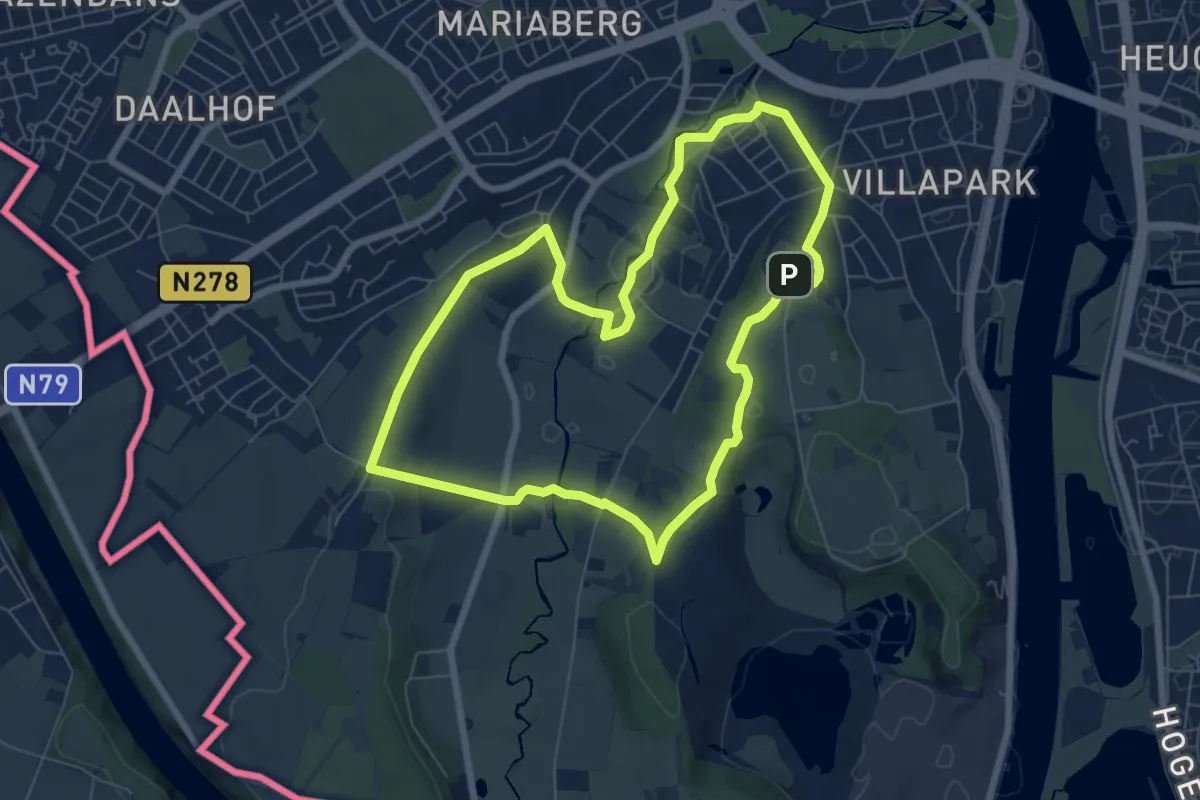
Easy · Trail
1.Sint-Pieter: Blauwe Ruit
6.3 km · ↑ 87 m · 1 h 46 min
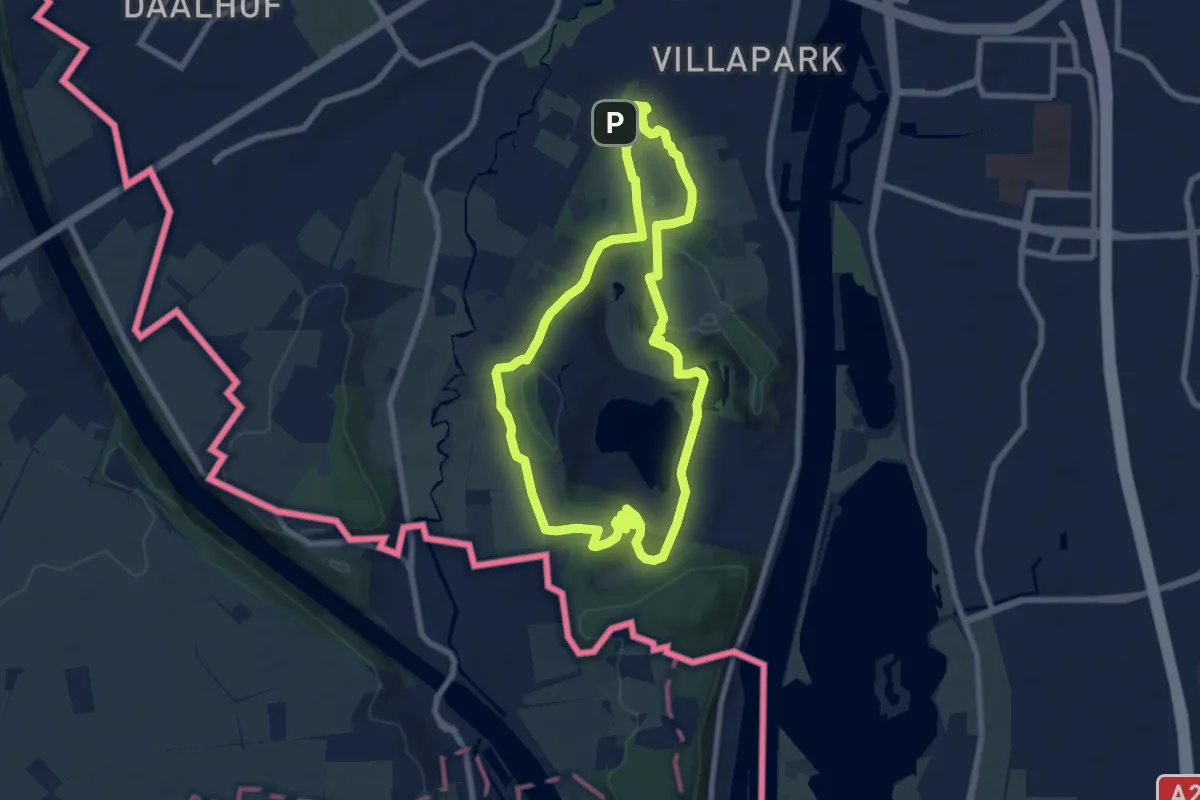
Easy · Summit
1.Sint-Pieter: Gele Streep
7.1 km · ↑ 143 m · 2 h 5 min
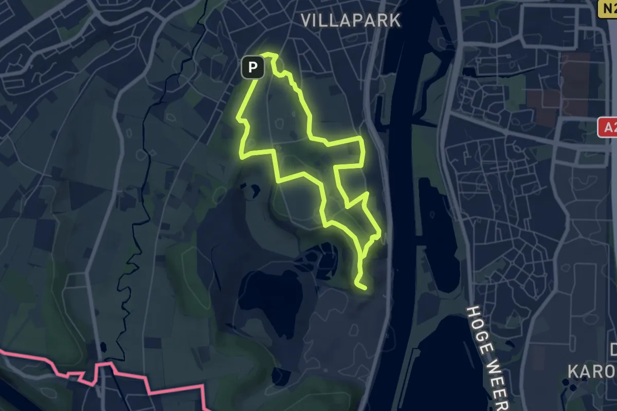
Easy · Trail
1.Sint-Pieter: Groene Rechthoek
5.2 km · ↑ 91 m · 1 h 30 min
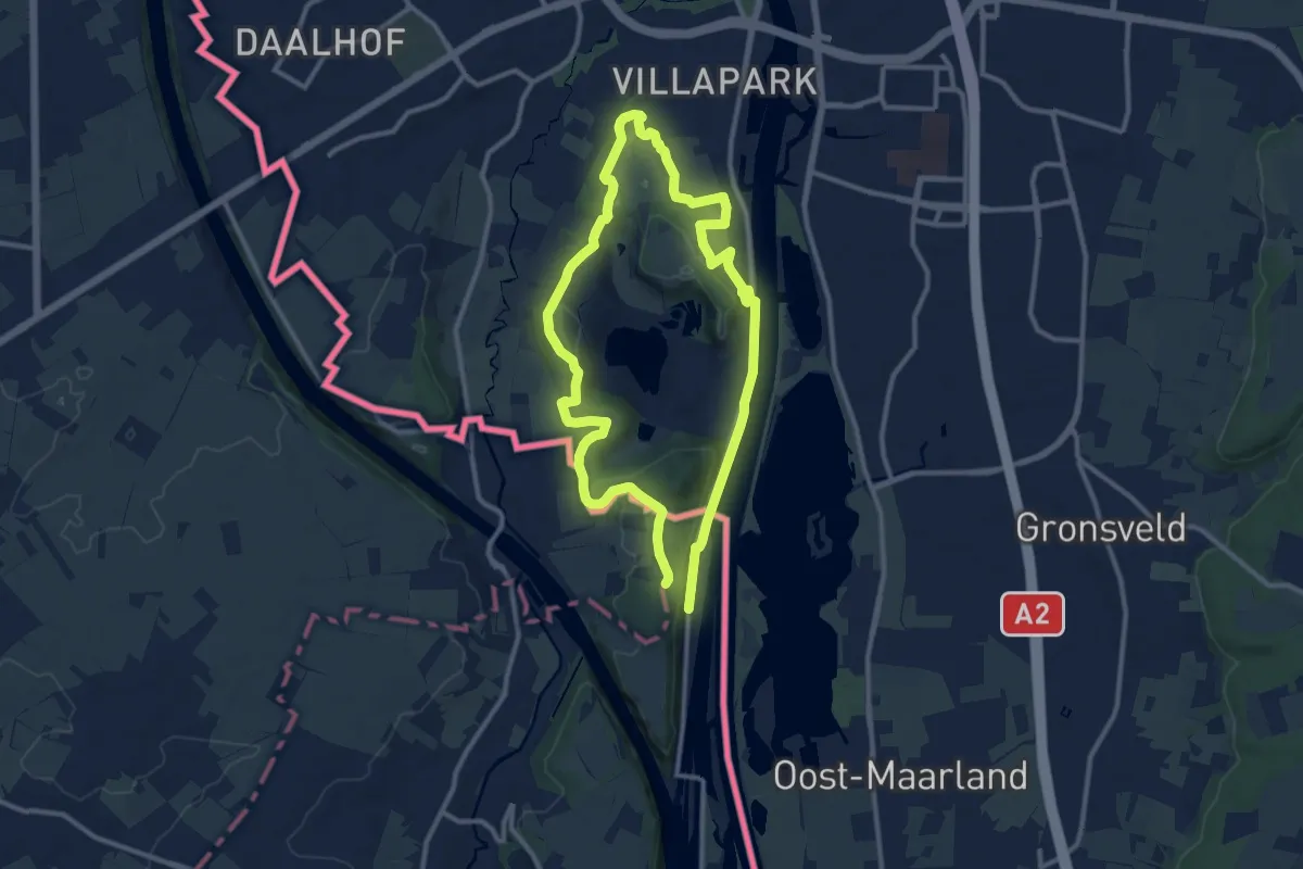
Medium · Trail
1.Sint-Pieter: Rode Driehoek
9.4 km · ↑ 184 m · 2 h 44 min
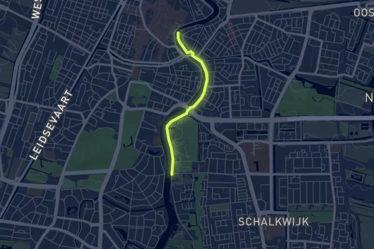
Easy · Trail
26-42
4.1 km · ↑ 0 m · 58 min
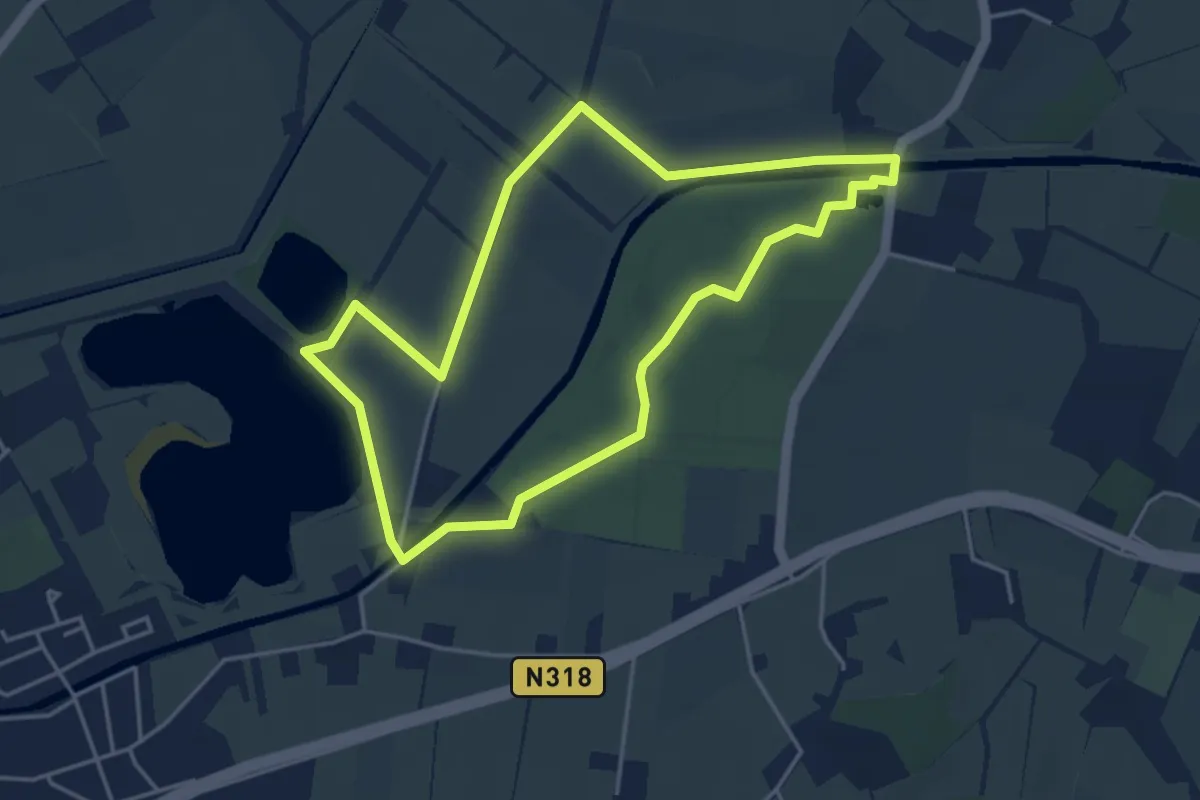
Easy · Trail
2 Bruggentocht
3.7 km · ↑ 0 m · 55 min
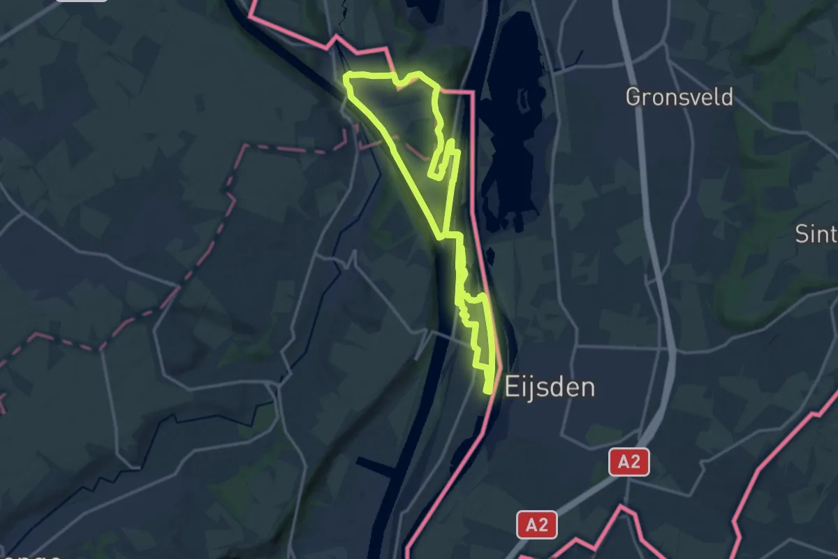
Medium · Trail
2.Eijsden/3.Kanne/4.Ternaaien: Gele Streep
12.0 km · ↑ 128 m · 3 h 17 min
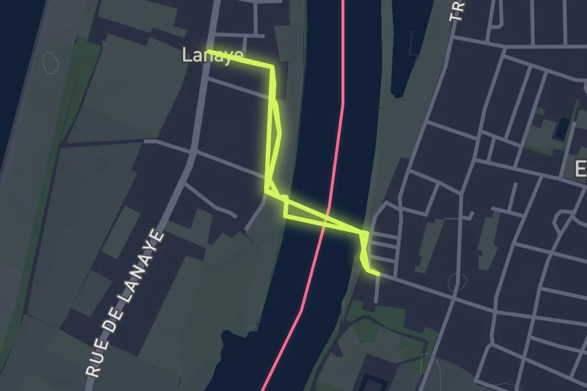
Easy · Trail
2.Eijsden/4.Lanaye: Losange Bleu
2.3 km · ↑ 0 m · 34 min
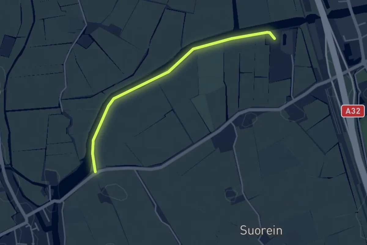
Easy · Trail
35-60
3.3 km · ↑ 0 m · 46 min
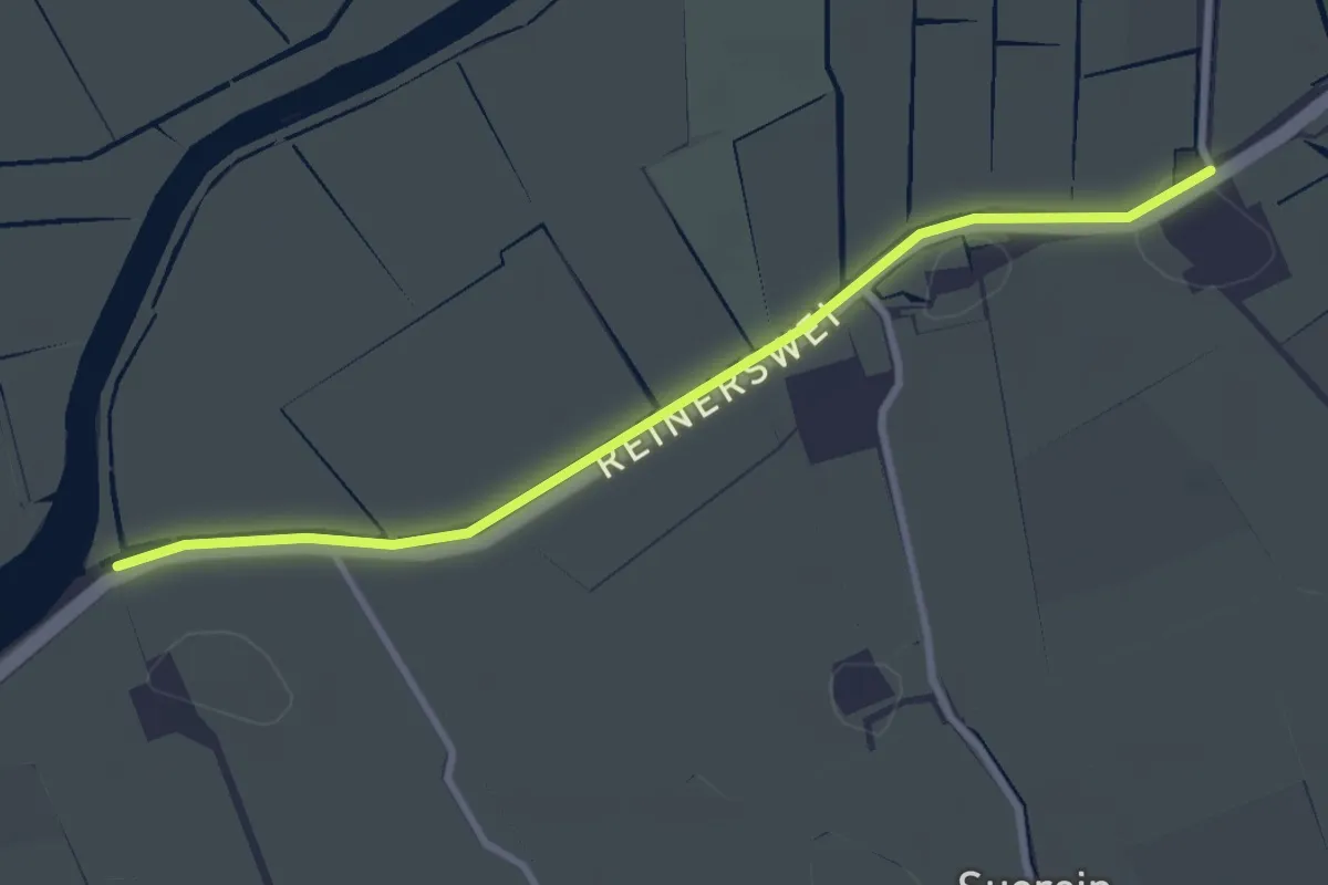
Easy · Trail
35-85
2.7 km · ↑ 0 m · 39 min
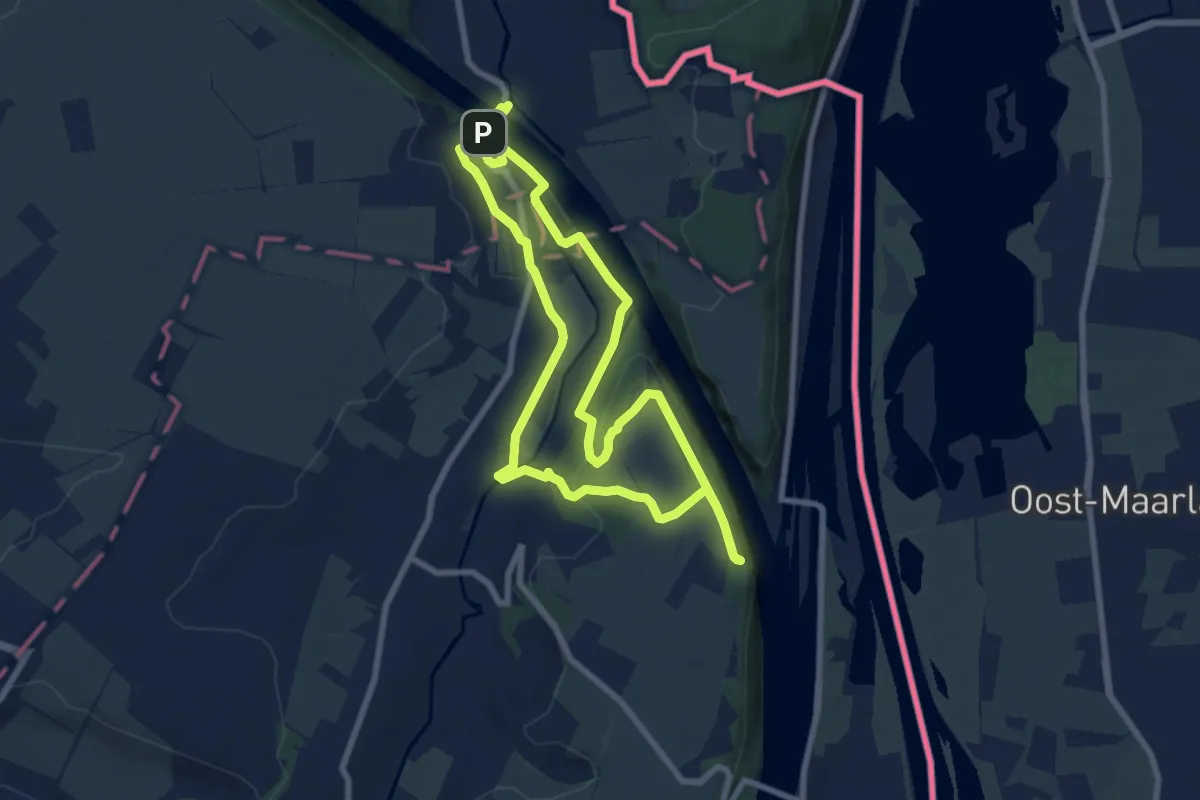
Easy · Trail
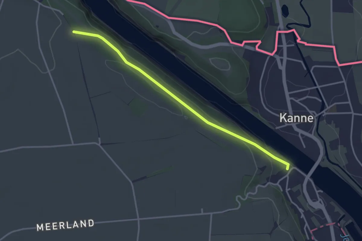
3.Kanne: Blauwe Ruit
7.1 km · ↑ 103 m · 1 h 59 min
Easy · Trail
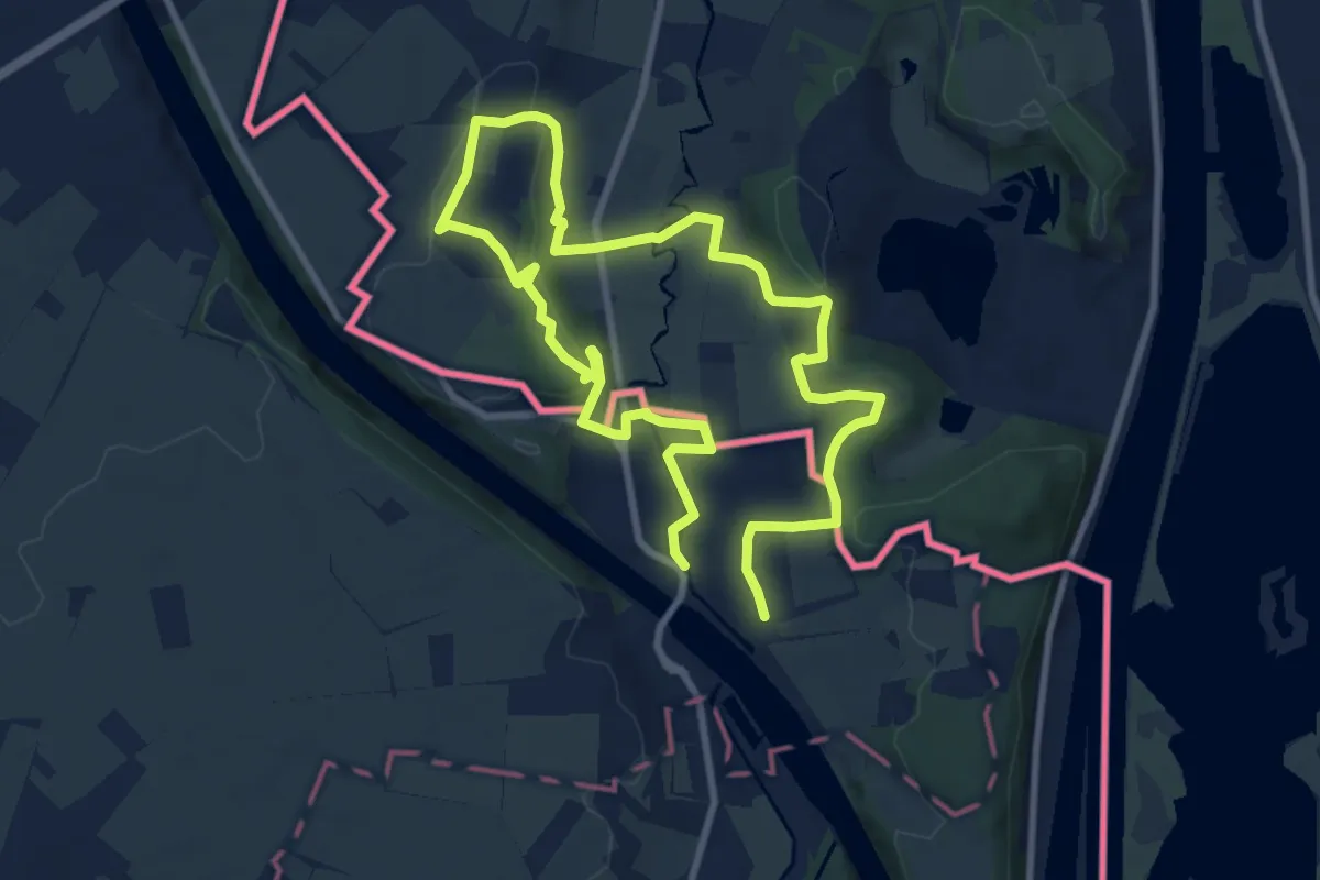
3.Kanne: Groene Rechthoek
1.5 km · ↑ 4 m · 24 min
Easy · Summit
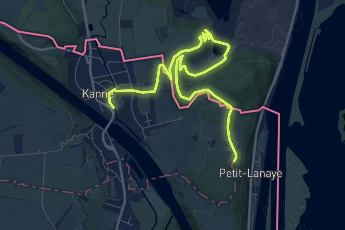
3.Kanne: Oranje Kruis
7.2 km · ↑ 114 m · 2 h 3 min
Easy · Trail
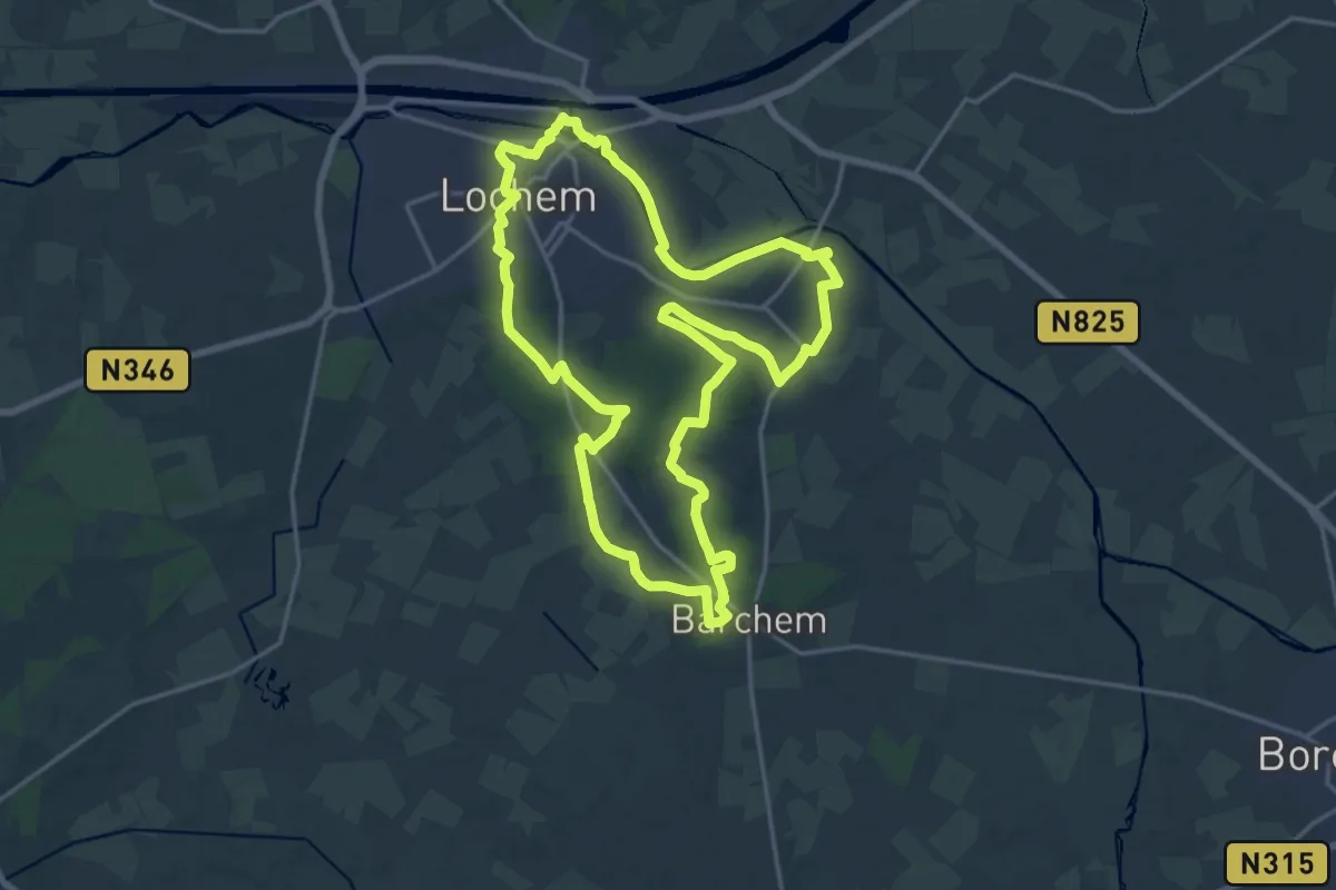
3.Kanne: Paarse Trapezium
4.5 km · ↑ 46 m · 1 h 15 min
Medium · Summit
3 Lochemse Bergen
17.1 km · ↑ 144 m · 4 h 36 min
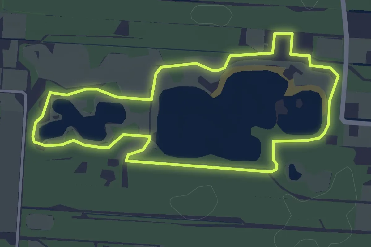
Easy · Summit
5000-stappen route
2.9 km · ↑ 5 m · 43 min
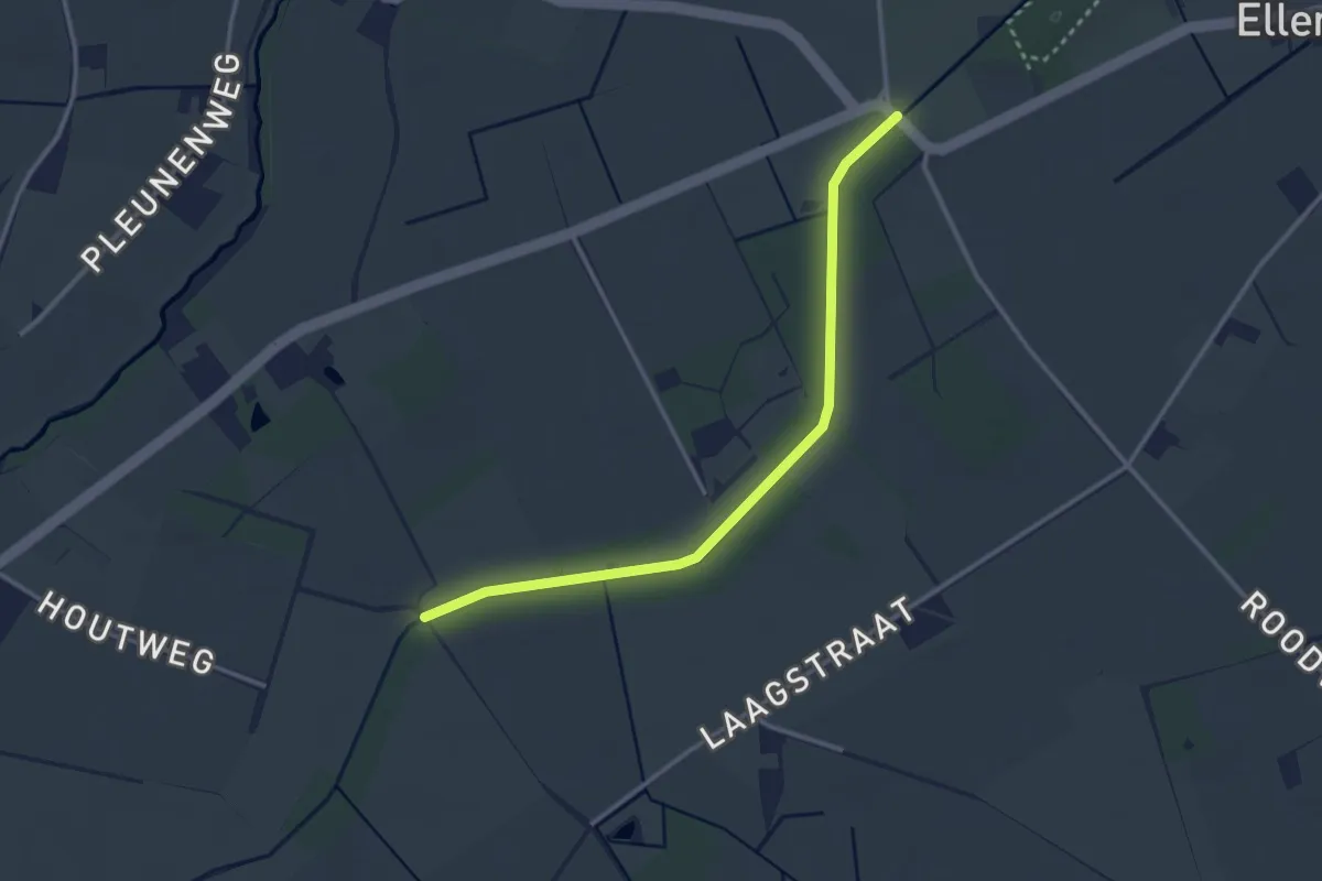
Easy · Trail
61-62
2.9 km · ↑ 4 m · 41 min
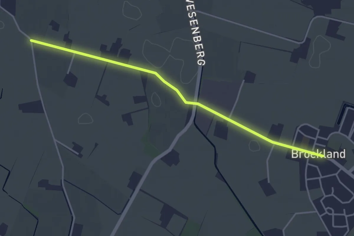
Easy · Trail
E30 – E31
3.5 km · ↑ 0 m · 50 min
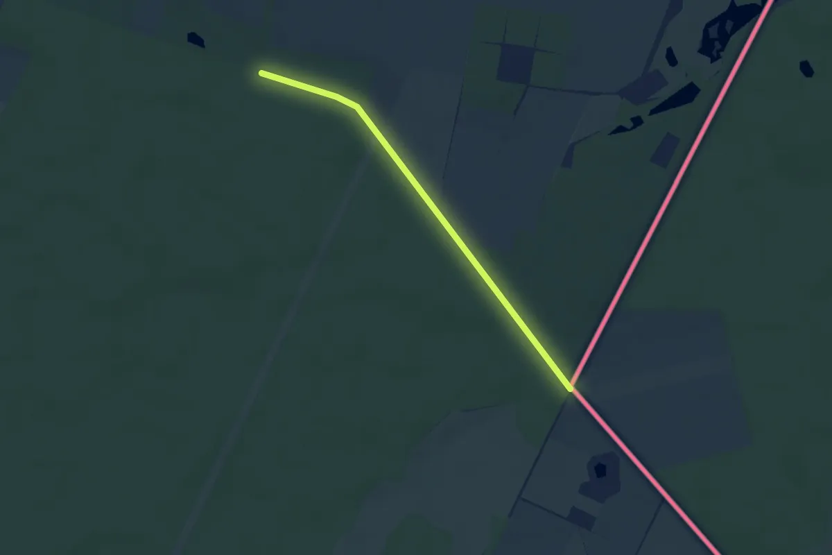
Easy · Trail
81 – 95
2.8 km · ↑ 17 m · 42 min
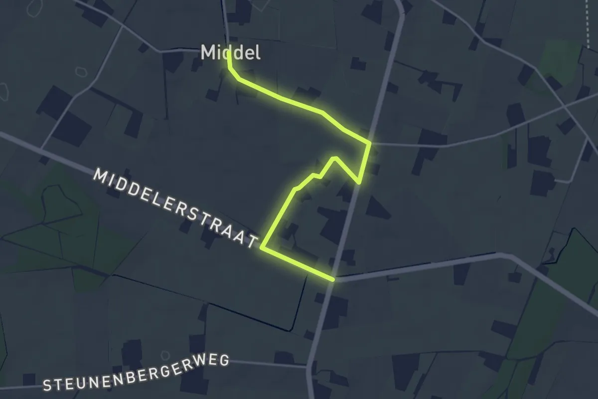
Easy · Trail
E40 – E41
3.4 km · ↑ 0 m · 49 min
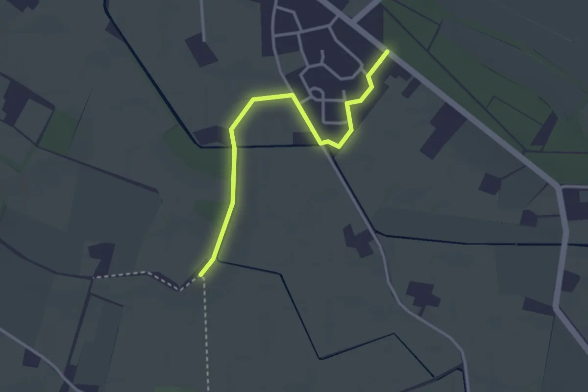
Easy · Trail
E34 – E35
2.6 km · ↑ 0 m · 36 min
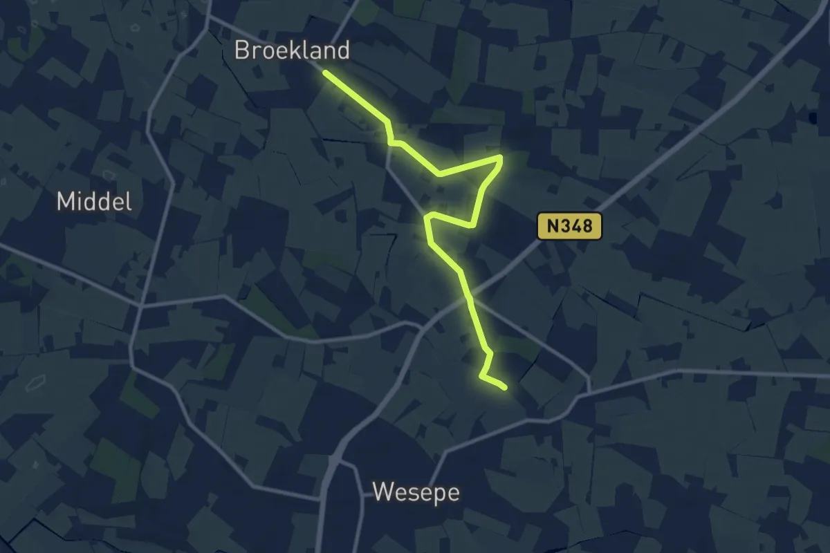
Medium · Trail
E35 – E54
9.0 km · ↑ 13 m · 2 h 10 min