Trails in Netherlands
5,039 hiking trails, each with its route, climb, walking time and grade.
All trails, page 60 of 105
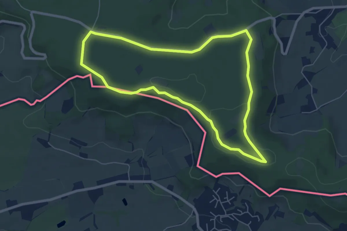
Easy · Trail
Vaals SBB36
5.0 km · ↑ 32 m · 1 h 19 min
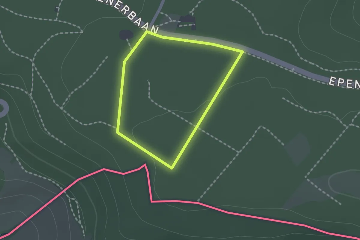
Easy · Trail
Vaals SBB37
1.2 km · ↑ 8 m · 18 min
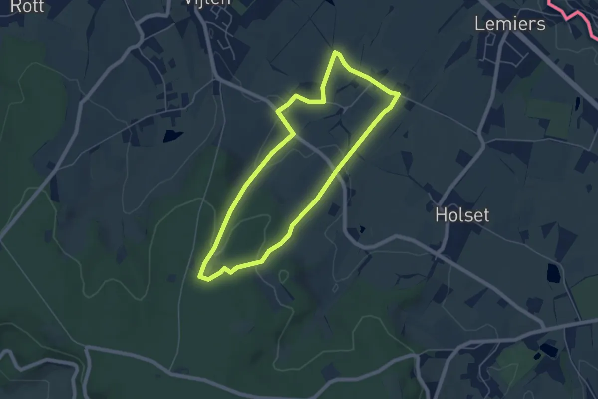
Easy · Trail
Vaals V10
4.3 km · ↑ 98 m · 1 h 18 min
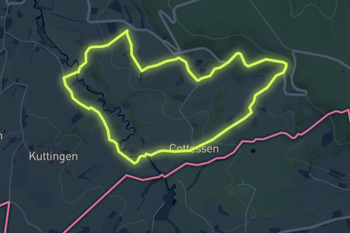
Easy · Trail
Vaals V14
5.9 km · ↑ 152 m · 1 h 48 min
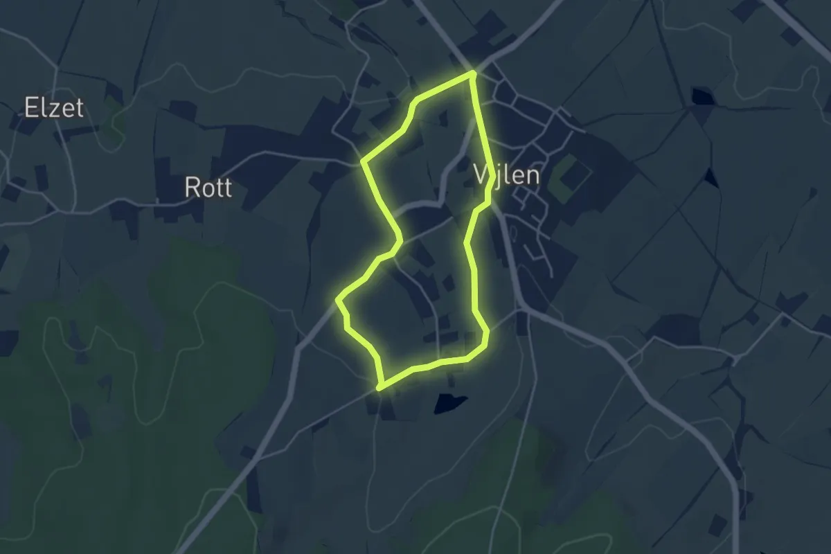
Easy · Trail
Vaals V5
3.2 km · ↑ 59 m · 56 min
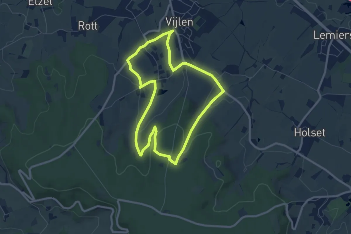
Easy · Trail
Vaals V6
5.9 km · ↑ 137 m · 1 h 45 min
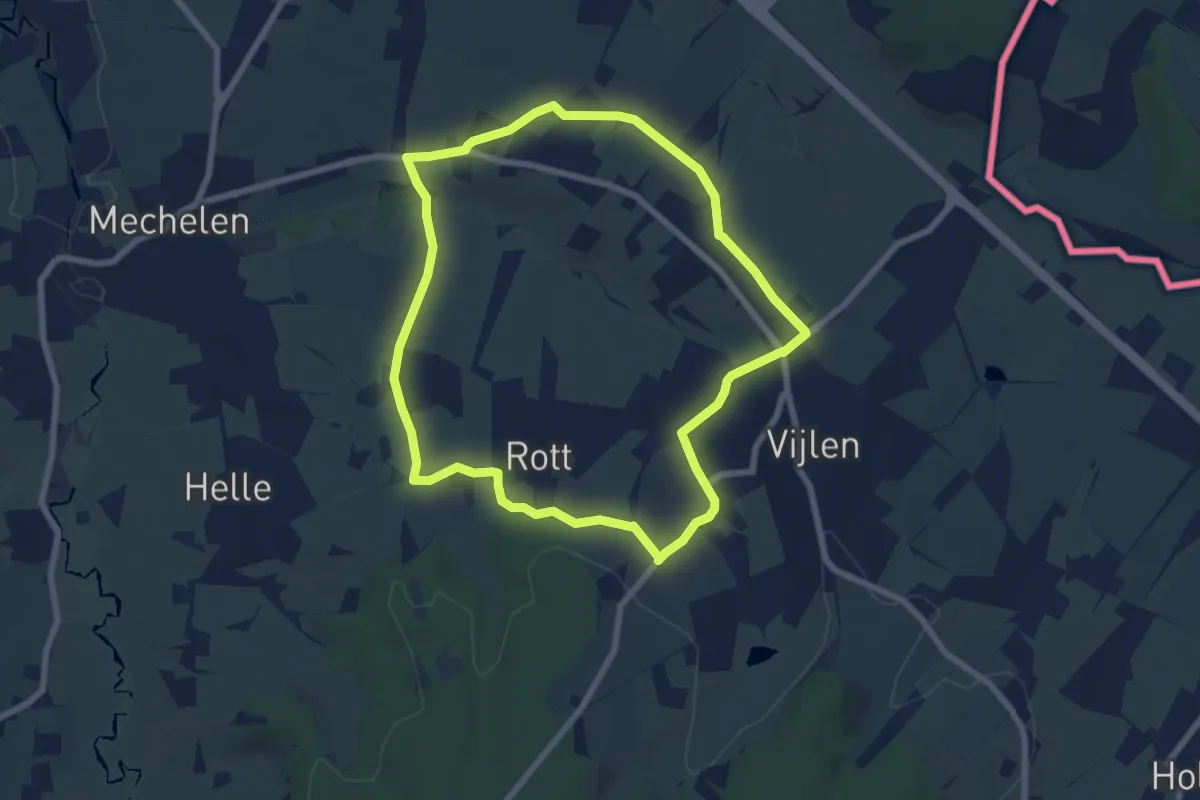
Easy · Trail
Vaals V7
6.3 km · ↑ 77 m · 1 h 45 min
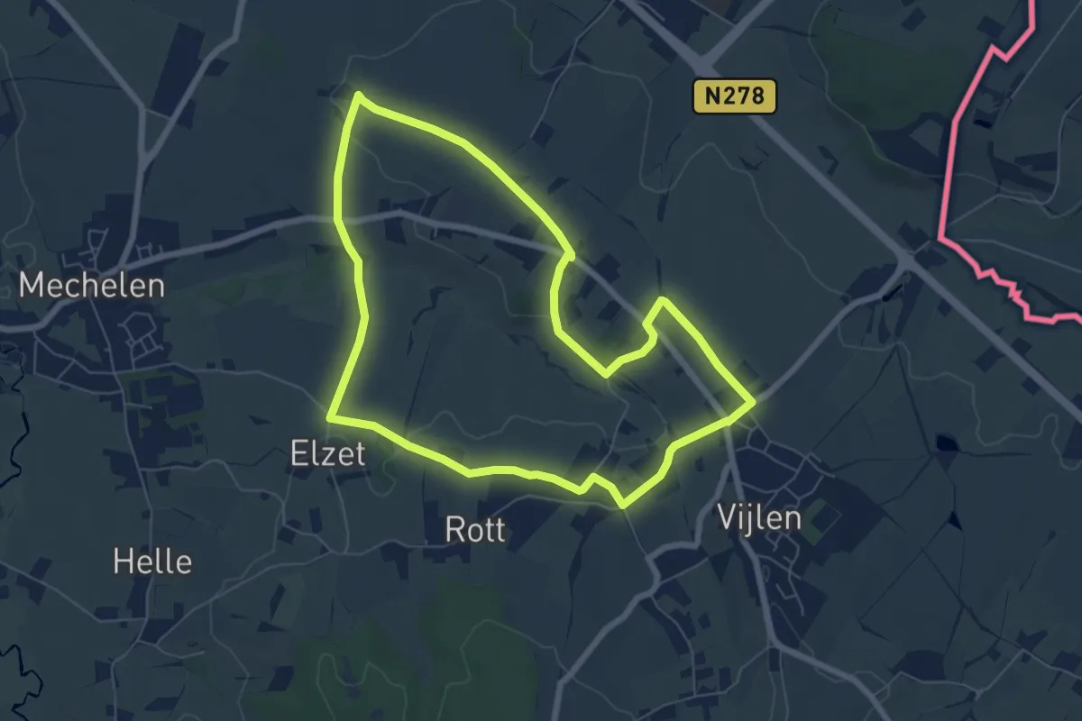
Easy · Trail
Vaals V8
6.1 km · ↑ 65 m · 1 h 41 min
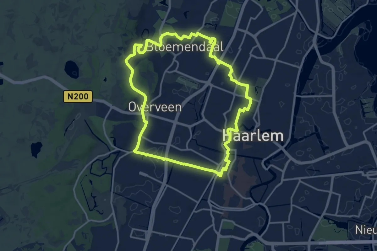
Medium · Trail
Vaart en Duintocht
10.5 km · ↑ 47 m · 2 h 44 min
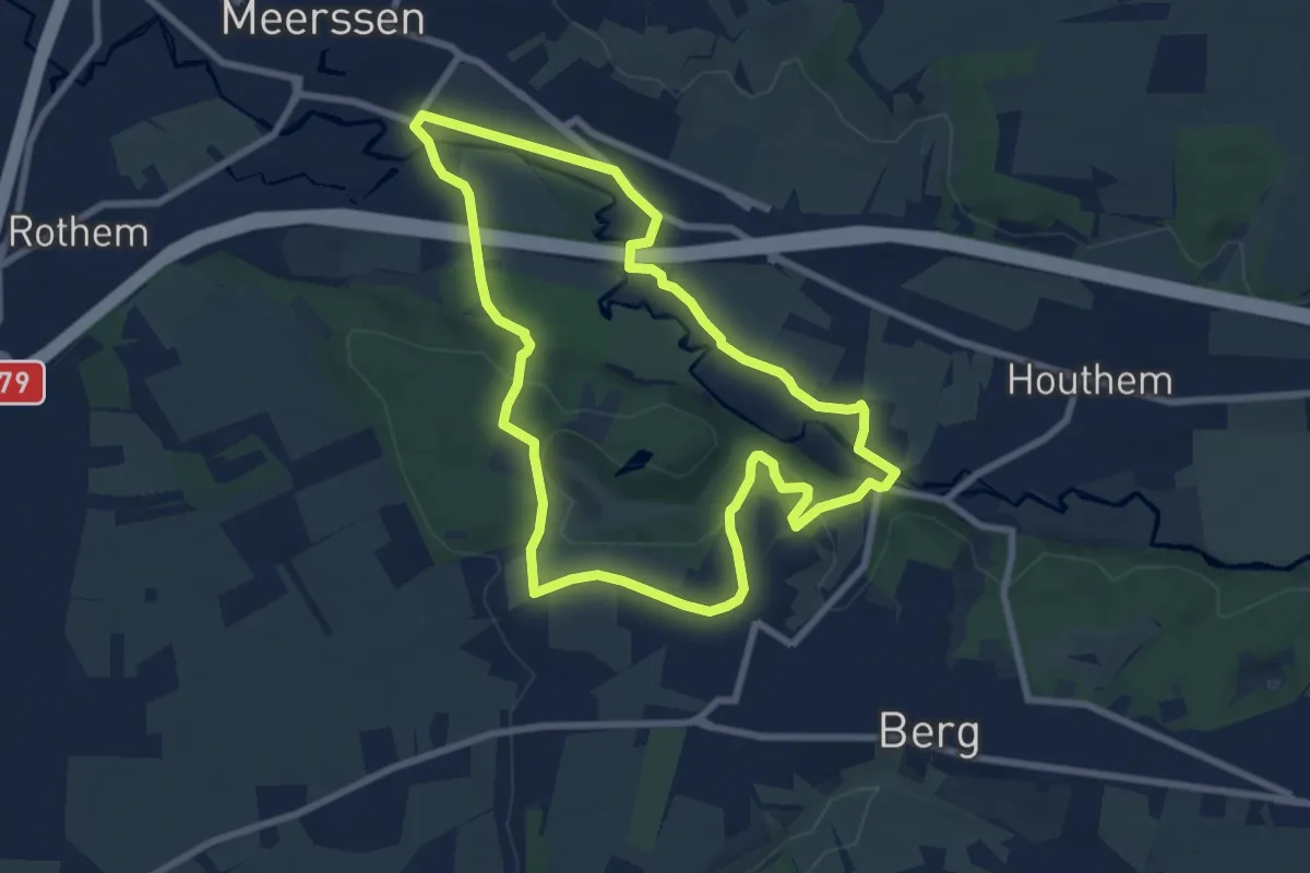
Easy · Trail
Valkenburg B1 de Dellen & Geul
7.2 km · ↑ 117 m · 2 h 4 min
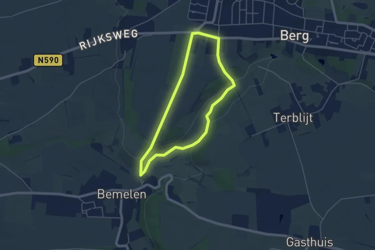
Easy · Trail
Valkenburg B3 Landelijk Berg
3.4 km · ↑ 47 m · 57 min
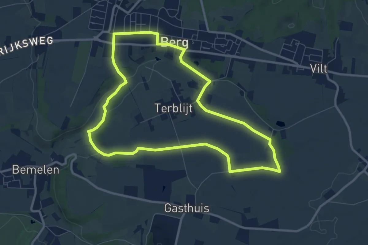
Easy · Trail
Valkenburg B4 Berg & Koelboschgrubbe
7.0 km · ↑ 63 m · 1 h 53 min
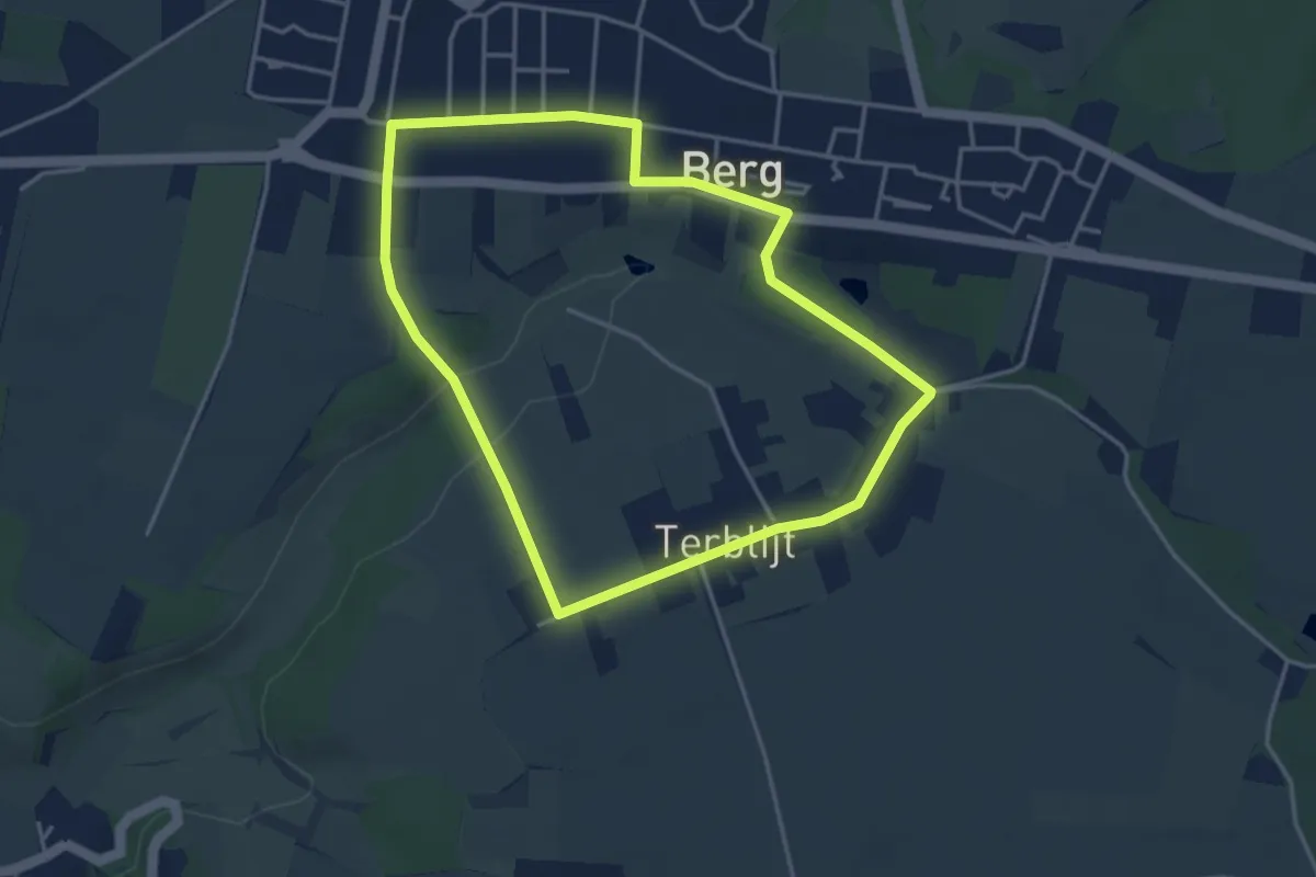
Easy · Trail
Valkenburg B5 Berg & Terblijt
3.5 km · ↑ 36 m · 57 min
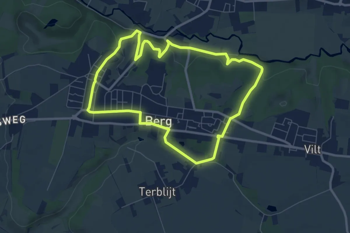
Easy · Trail
Valkenburg B6 Valkenburg a/d Geul
6.2 km · ↑ 129 m · 1 h 50 min
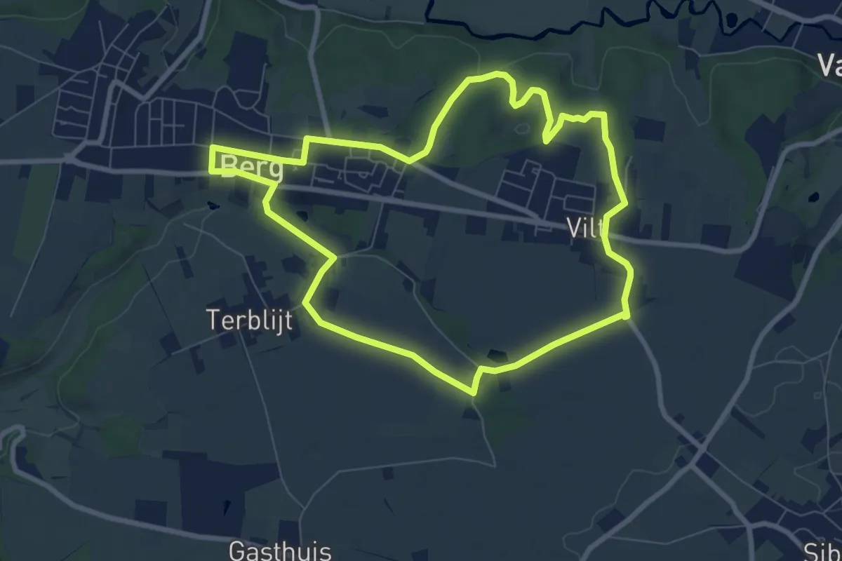
Easy · Trail
Valkenburg B7 Rondom Berg
7.0 km · ↑ 54 m · 1 h 51 min
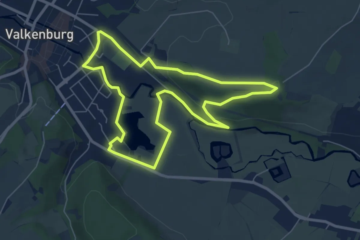
Easy · Trail
Valkenburg Va1
5.3 km · ↑ 76 m · 1 h 29 min
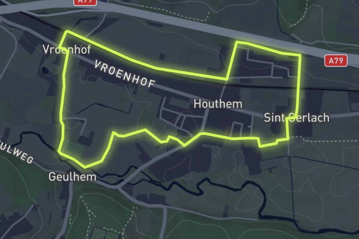
Easy · Trail
Valkenburg Va10
4.3 km · ↑ 28 m · 1 h 9 min
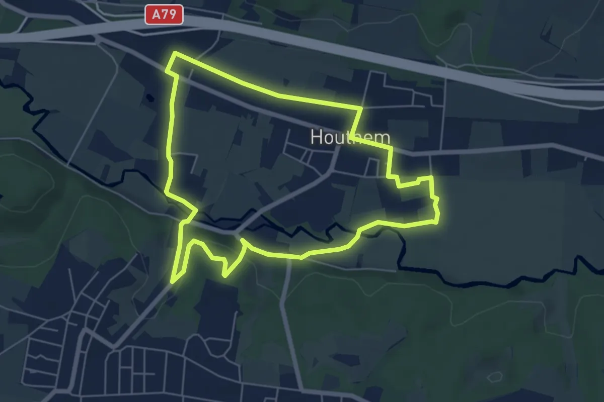
Easy · Trail
Valkenburg Va11
4.9 km · ↑ 73 m · 1 h 24 min
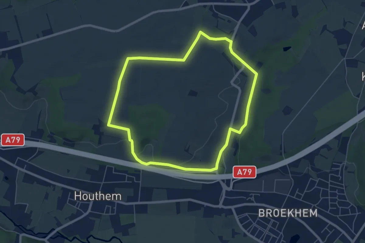
Easy · Trail
Valkenburg Va13
5.2 km · ↑ 67 m · 1 h 26 min
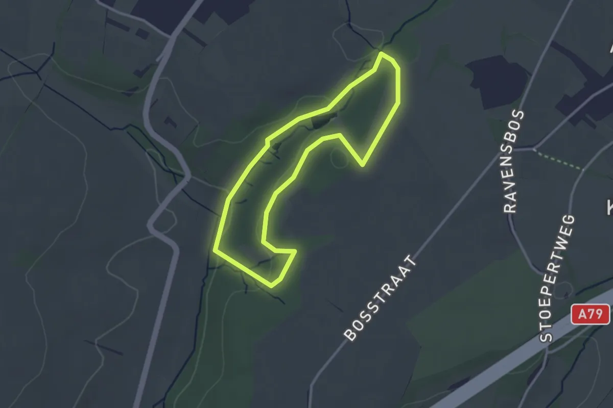
Easy · Trail
Valkenburg Va14
2.4 km · ↑ 42 m · 42 min
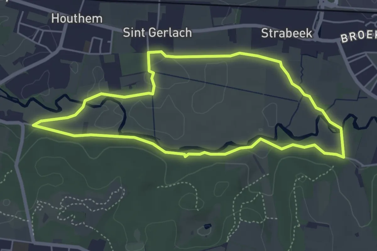
Easy · Trail
Valkenburg Va15
4.2 km · ↑ 22 m · 1 h 6 min
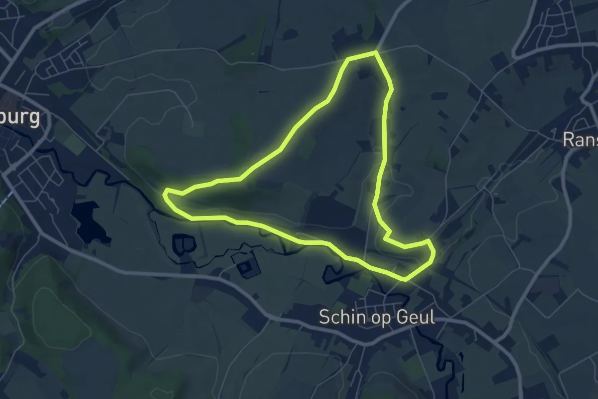
Easy · Trail
Valkenburg Va16
5.7 km · ↑ 82 m · 1 h 36 min
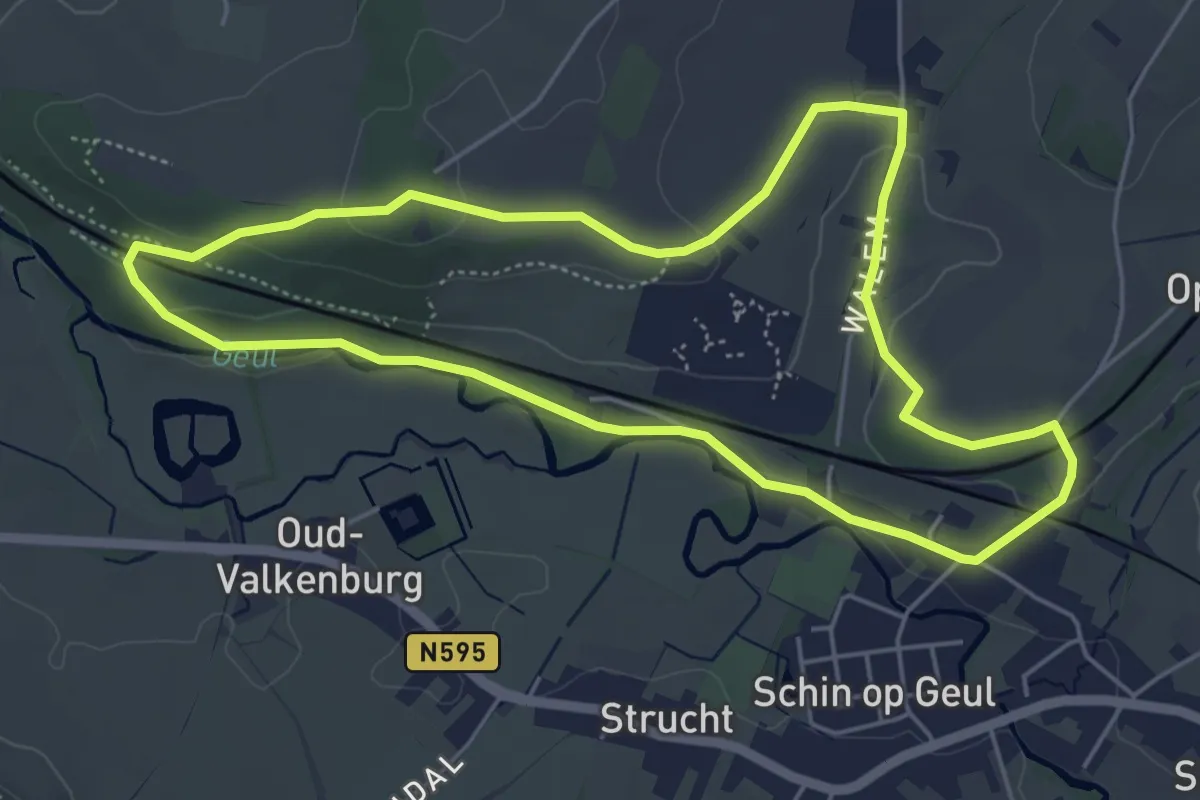
Easy · Trail
Valkenburg Va17
4.8 km · ↑ 77 m · 1 h 22 min
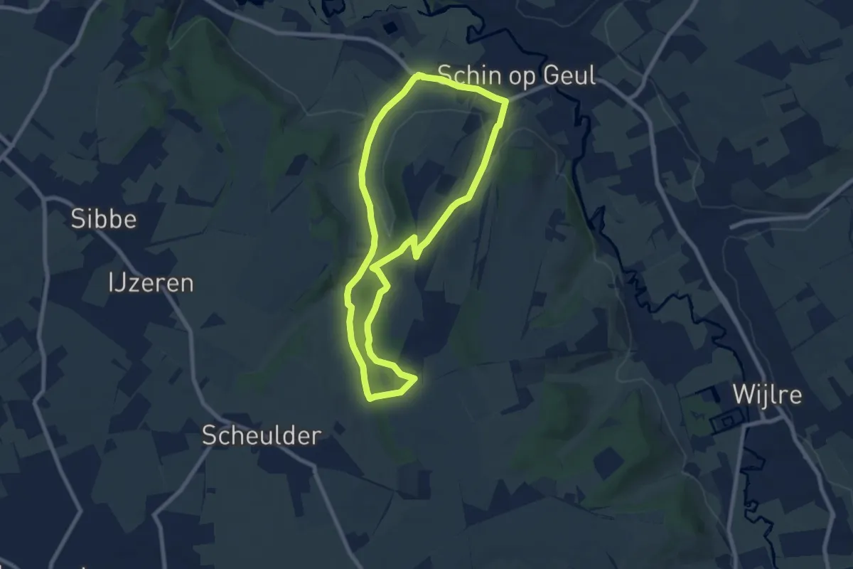
Easy · Trail
Valkenburg Va18
6.5 km · ↑ 115 m · 1 h 52 min
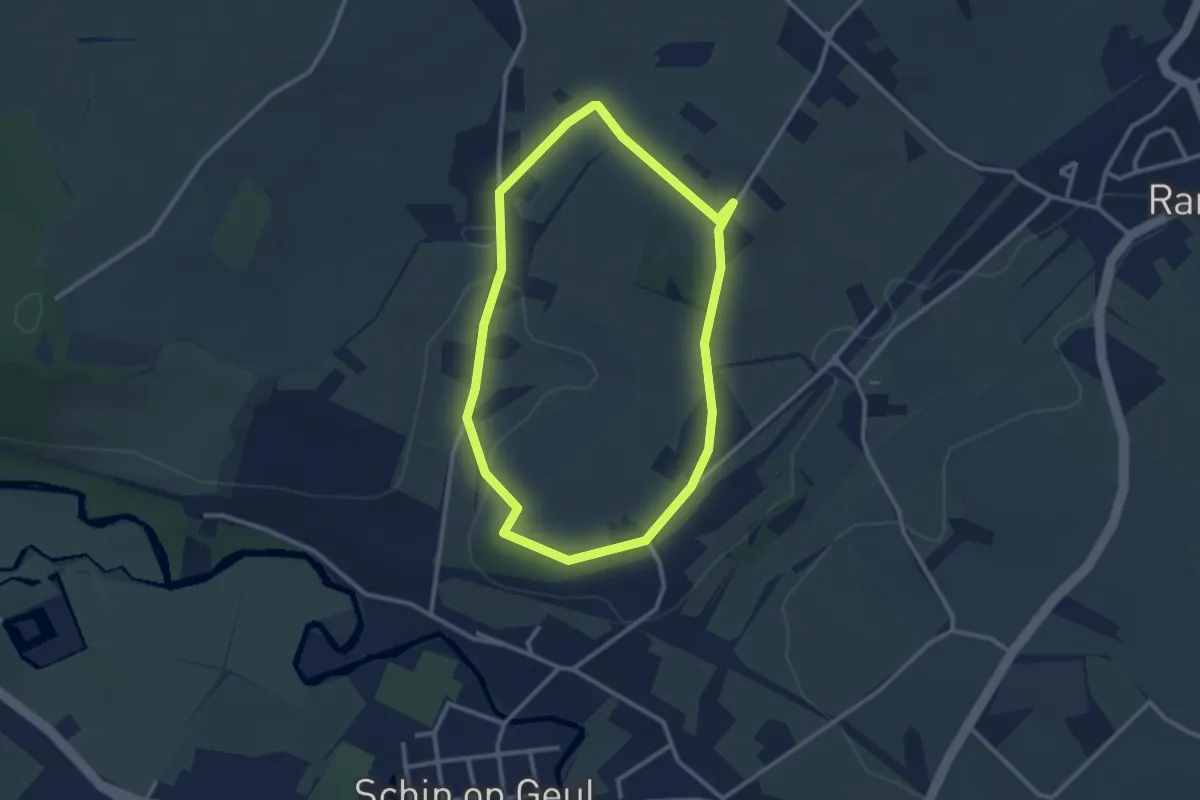
Easy · Trail
Valkenburg Va19
2.4 km · ↑ 35 m · 41 min
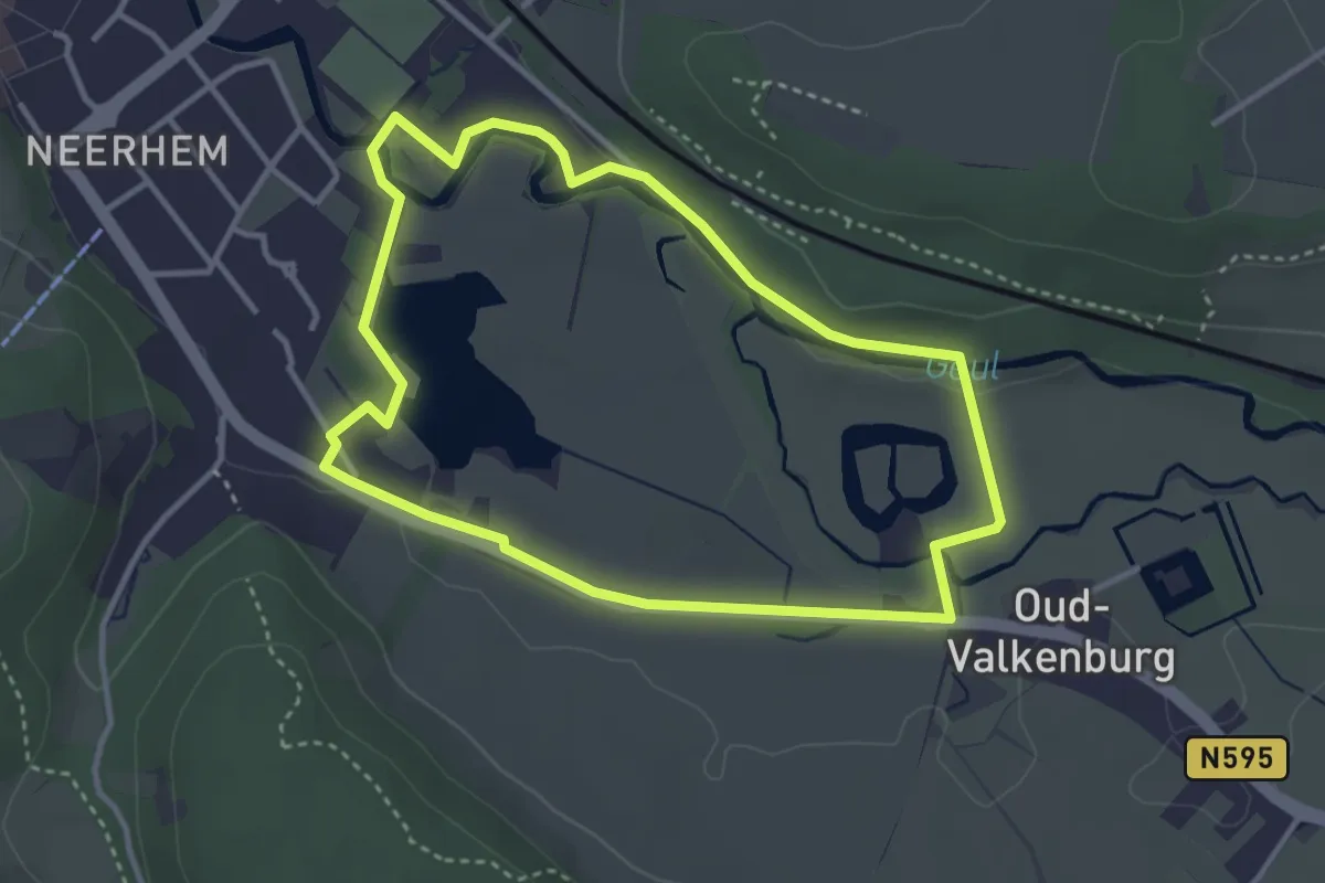
Easy · Trail
Valkenburg Va2
3.1 km · ↑ 13 m · 49 min
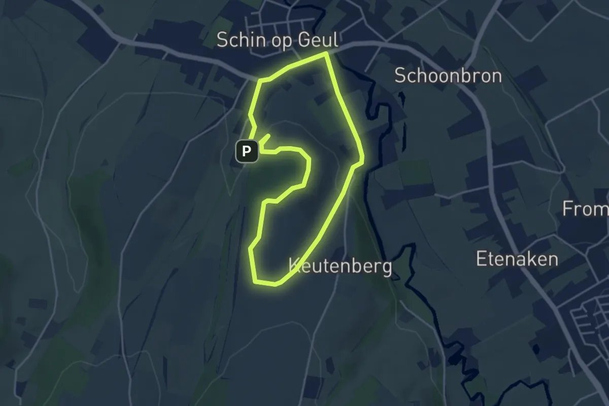
Easy · Summit
Valkenburg Va20
3.2 km · ↑ 67 m · 57 min
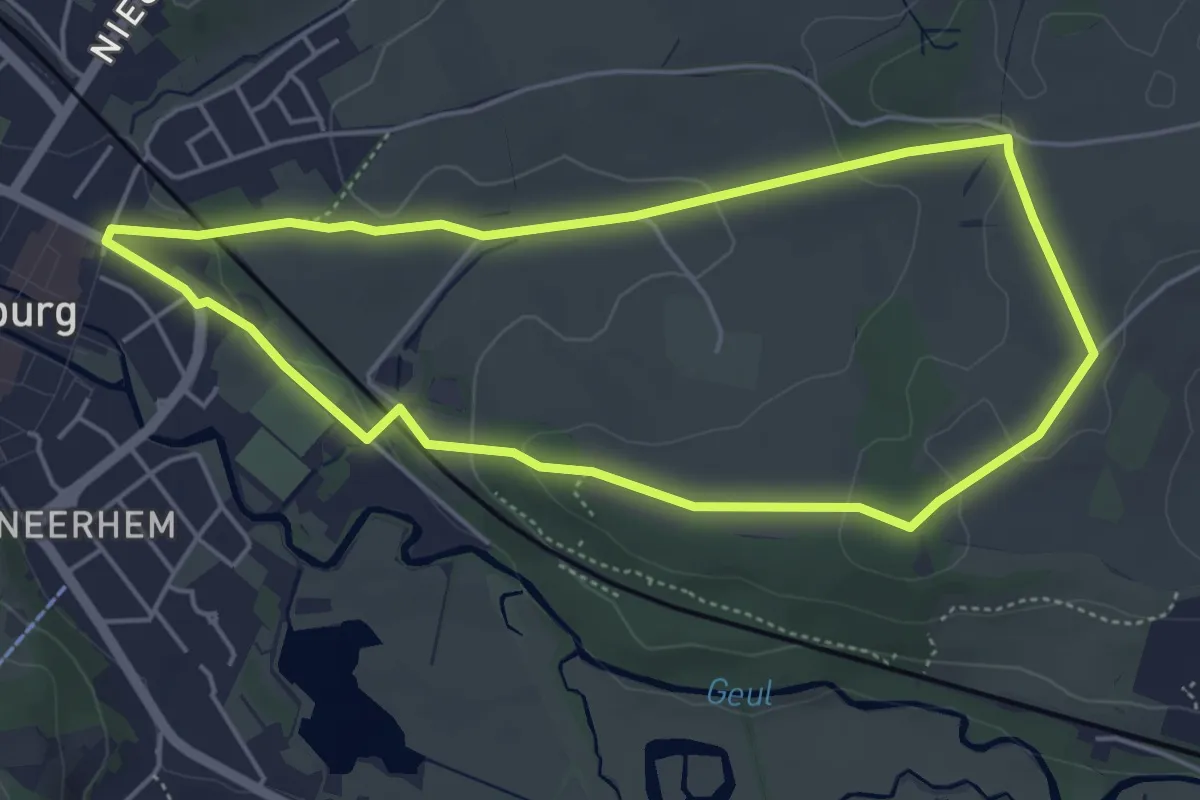
Easy · Trail
Valkenburg Va21
4.4 km · ↑ 69 m · 1 h 14 min
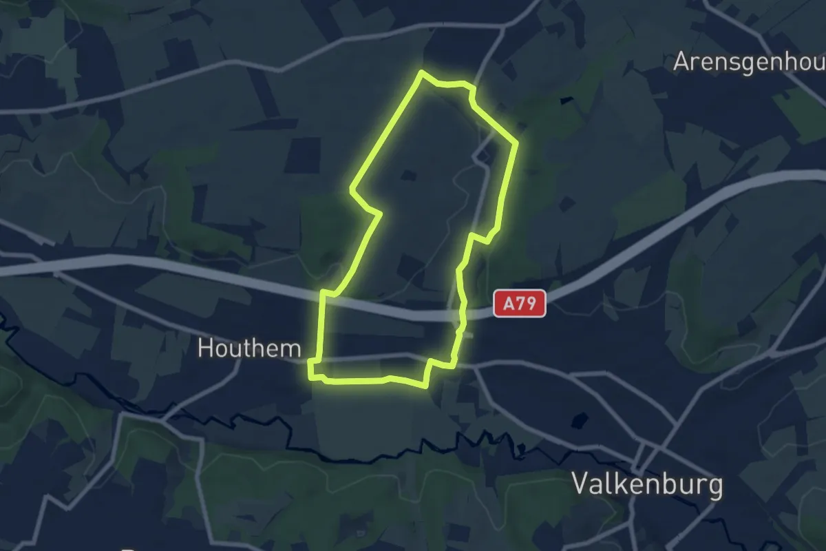
Easy · Trail
Valkenburg Va22
5.9 km · ↑ 64 m · 1 h 37 min
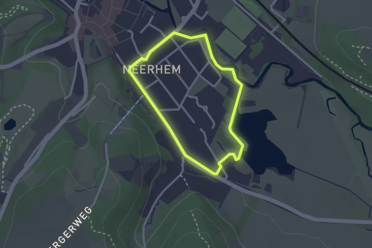
Easy · Trail
Valkenburg Va3
1.9 km · ↑ 9 m · 29 min
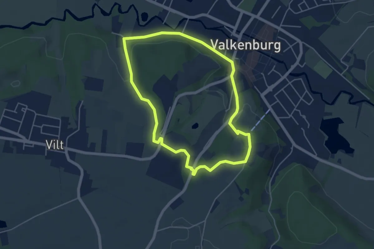
Easy · Trail
Valkenburg Va4
3.8 km · ↑ 70 m · 1 h 7 min
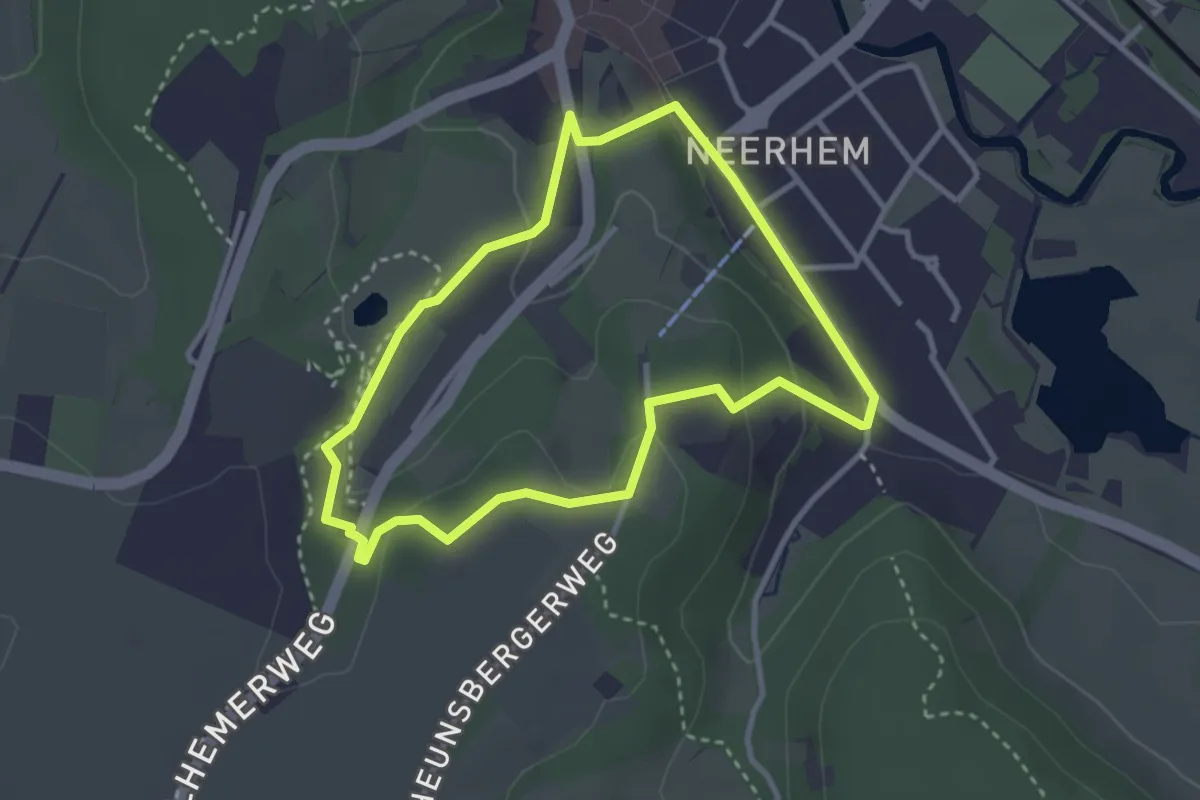
Easy · Trail
Valkenburg Va5
2.7 km · ↑ 55 m · 48 min
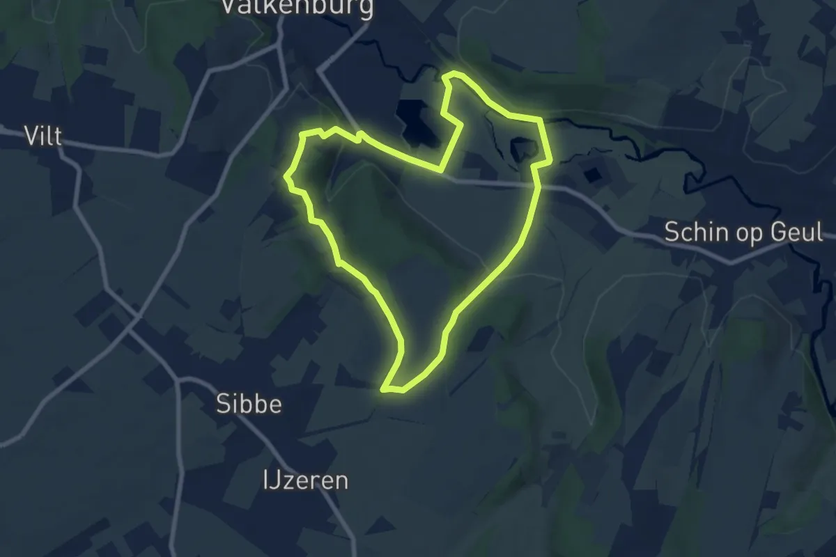
Easy · Trail
Valkenburg Va6
6.2 km · ↑ 115 m · 1 h 49 min
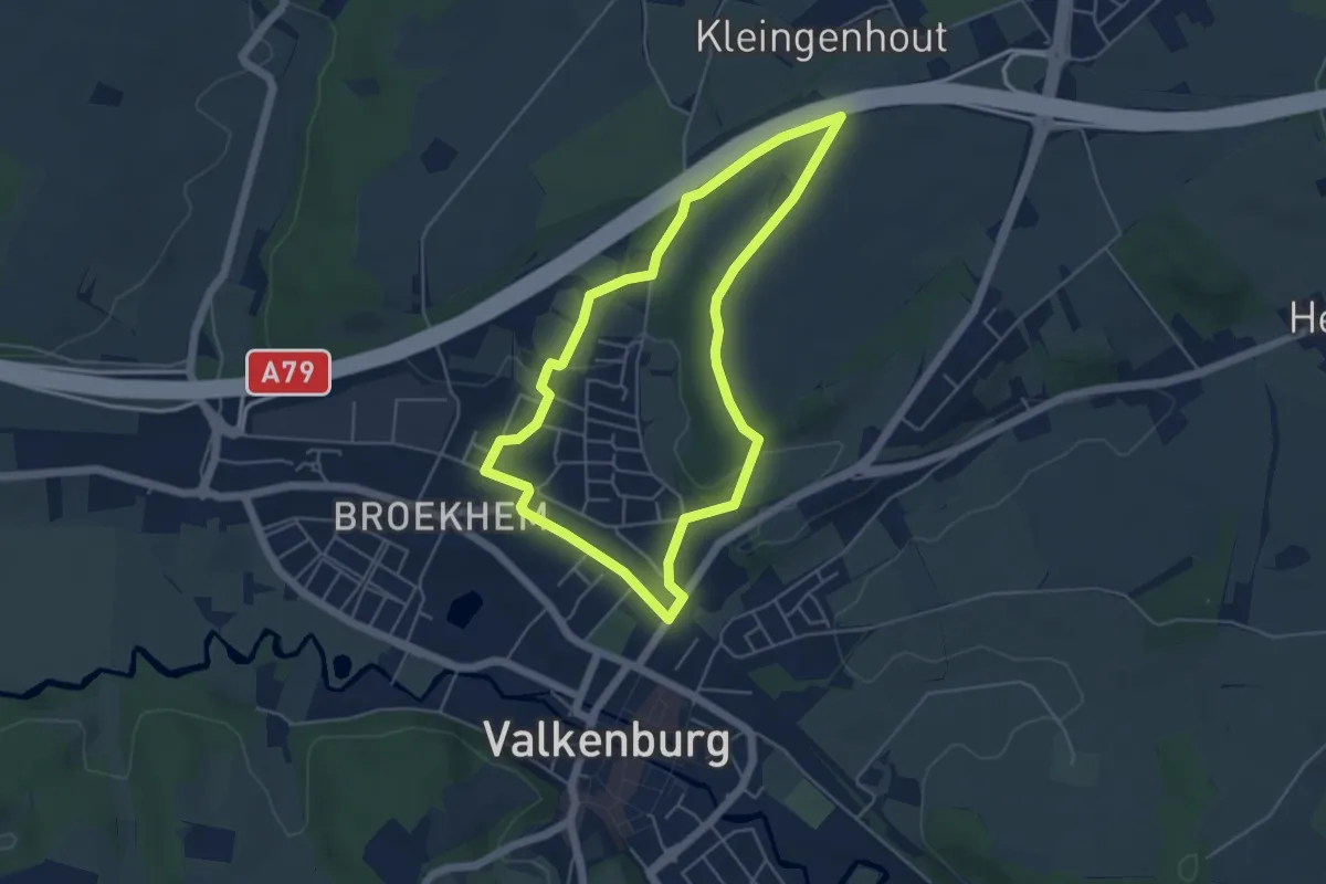
Easy · Trail
Valkenburg Va7
4.3 km · ↑ 52 m · 1 h 12 min
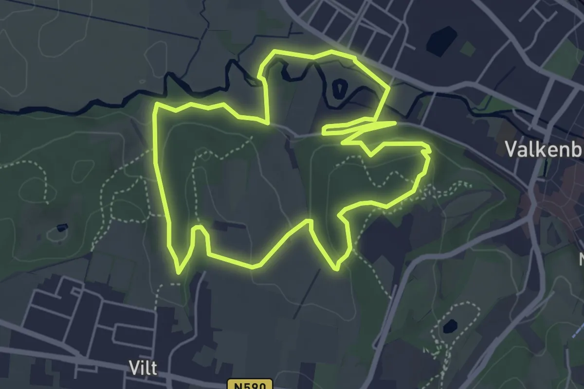
Easy · Trail
Valkenburg Va8
4.7 km · ↑ 103 m · 1 h 23 min
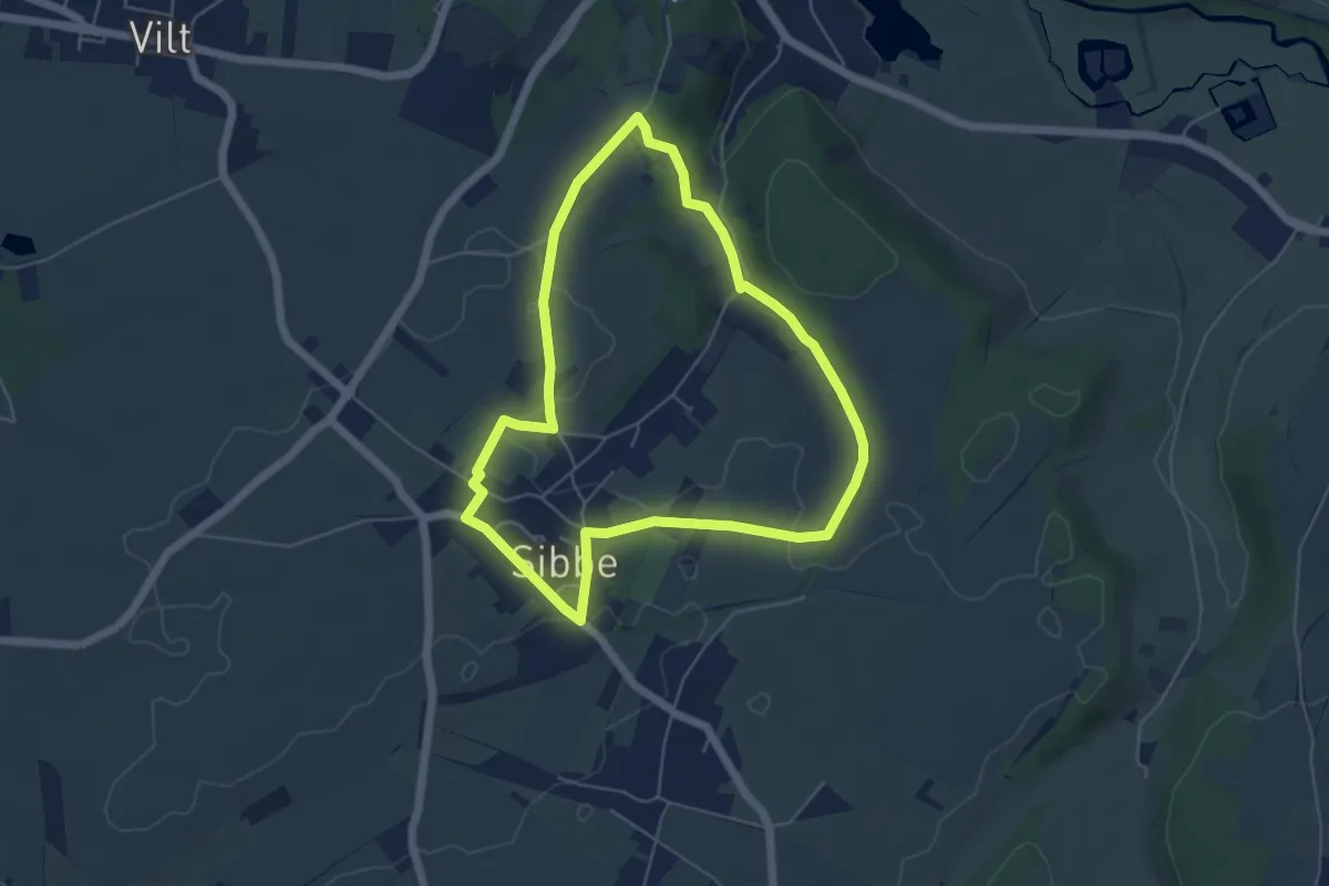
Easy · Trail
Valkenburg Va9
4.6 km · ↑ 45 m · 1 h 15 min
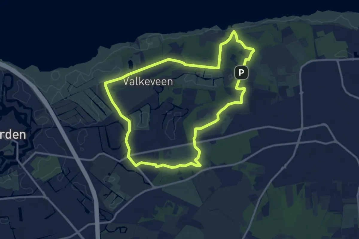
Easy · Summit
Valkenveenproute
7.6 km · ↑ 21 m · 1 h 56 min
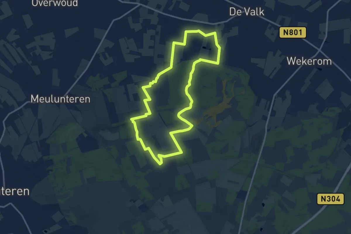
Medium · Trail
Valkschepad
9.7 km · ↑ 37 m · 2 h 31 min
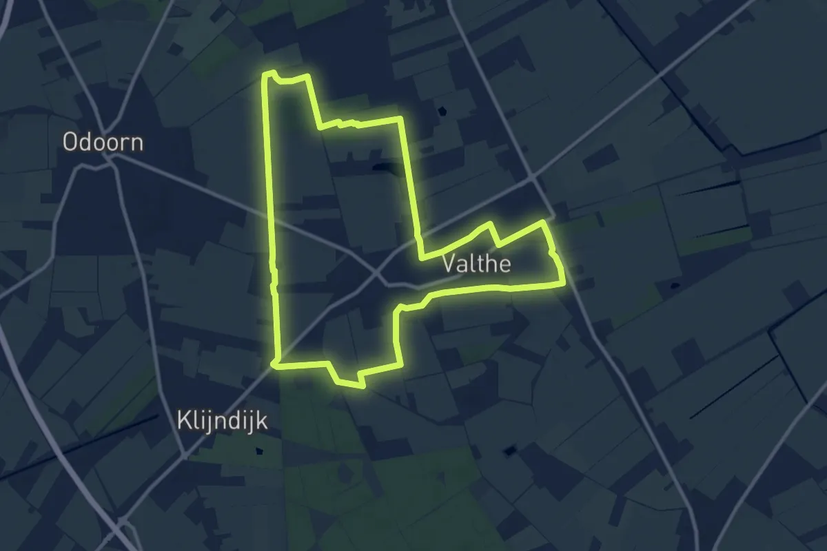
Medium · Trail
Valther Ommetje noord (Noorderveld- Zuiderveld)
9.8 km · ↑ 18 m · 2 h 29 min
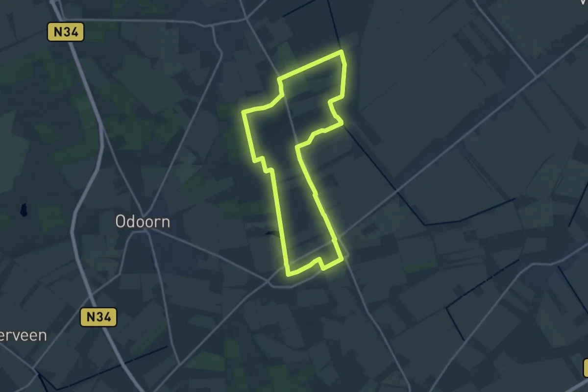
Medium · Trail
Valther Ommetje noordoost (Noorderveld- Zoersche Veen- Kwabsche Kuilen)
11.2 km · ↑ 18 m · 2 h 51 min
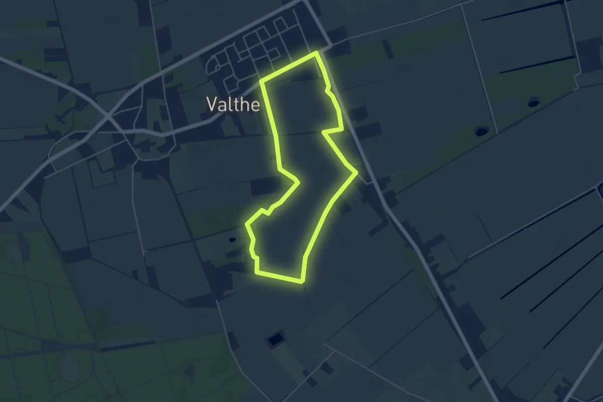
Easy · Trail
Valther ommetje zuid (Holtesch- Kampervenen)
4.0 km · ↑ 8 m · 1 h 1 min
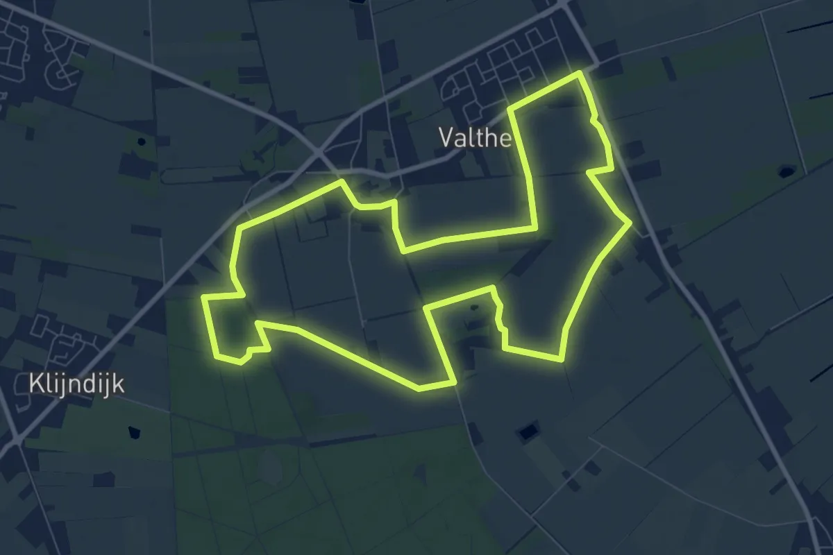
Medium · Trail
Valther Ommetje zuid-west (Kampervenen- Oosteresch- Westeresch-Valtherbos)
8.4 km · ↑ 17 m · 2 h 9 min
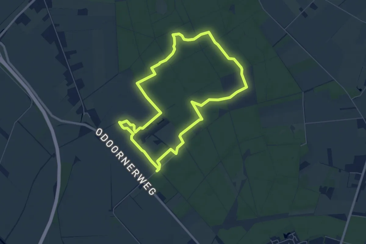
Easy · Trail
Valtherspaan
5.5 km · ↑ 13 m · 1 h 25 min
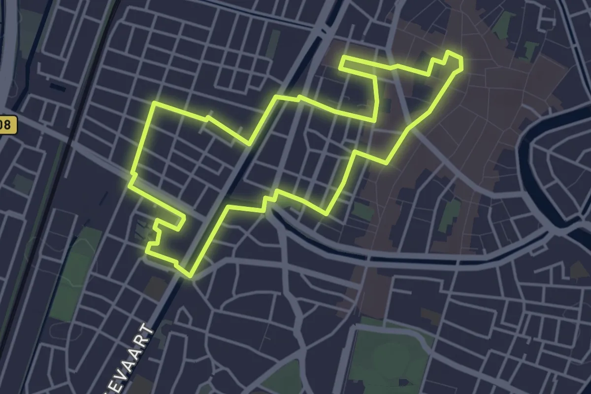
Easy · Trail
Van Bavo tot Bavo
3.8 km · ↑ 4 m · 57 min
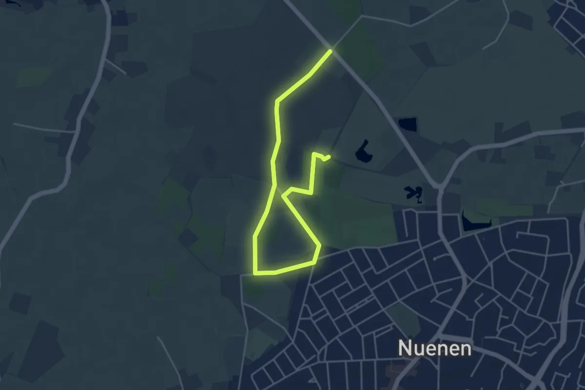
Easy · Trail
Van Gogh wandelroute
2.4 km · ↑ 8 m · 38 min
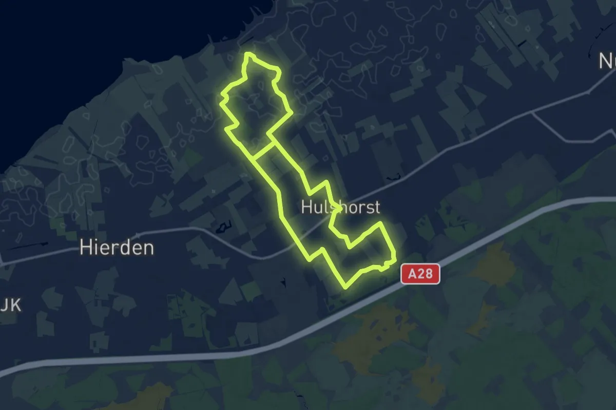
Medium · Trail
Van Horst naar Zee
11.1 km · ↑ 17 m · 2 h 49 min
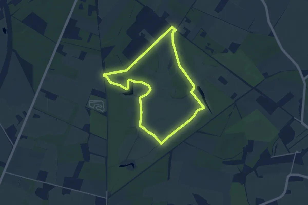
Easy · Trail
Van Lutheaven tot Quarlesbosje
3.4 km · ↑ 18 m · 54 min
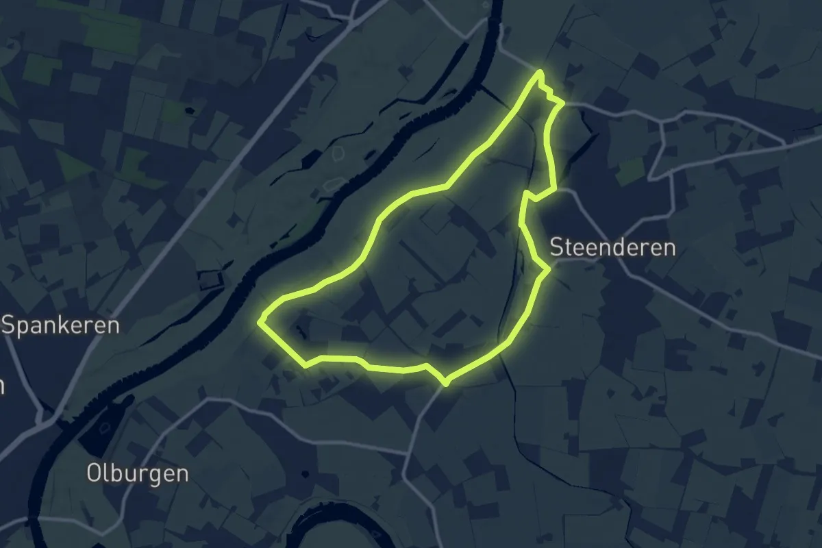
Medium · Trail
Van Molen tot Molenroute
9.2 km · ↑ 0 m · 2 h 19 min