Trails in Netherlands
5,039 hiking trails, each with its route, climb, walking time and grade.
All trails, page 62 of 105
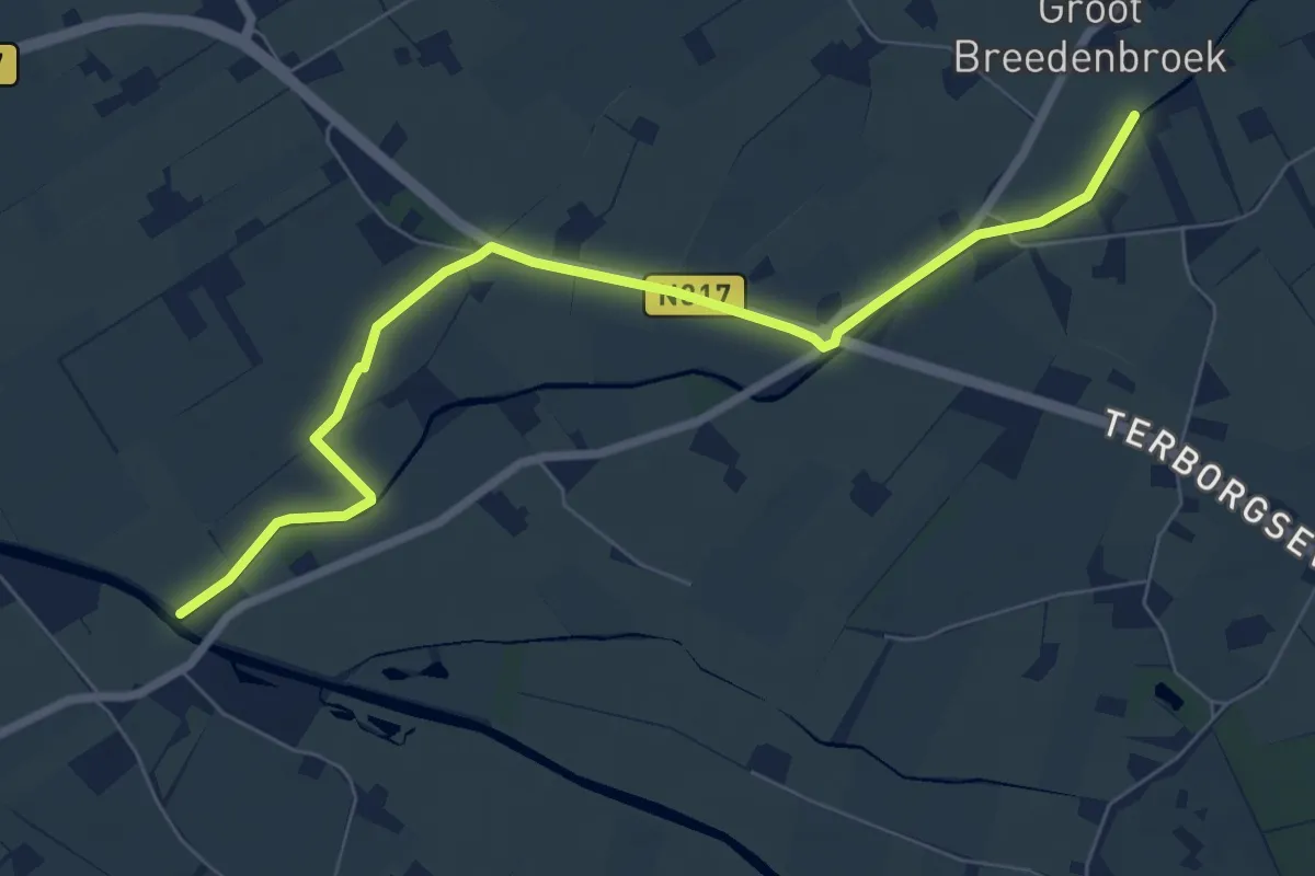
Easy · Trail
Verbindingsroute B14-B27
7.0 km · ↑ 0 m · 1 h 40 min
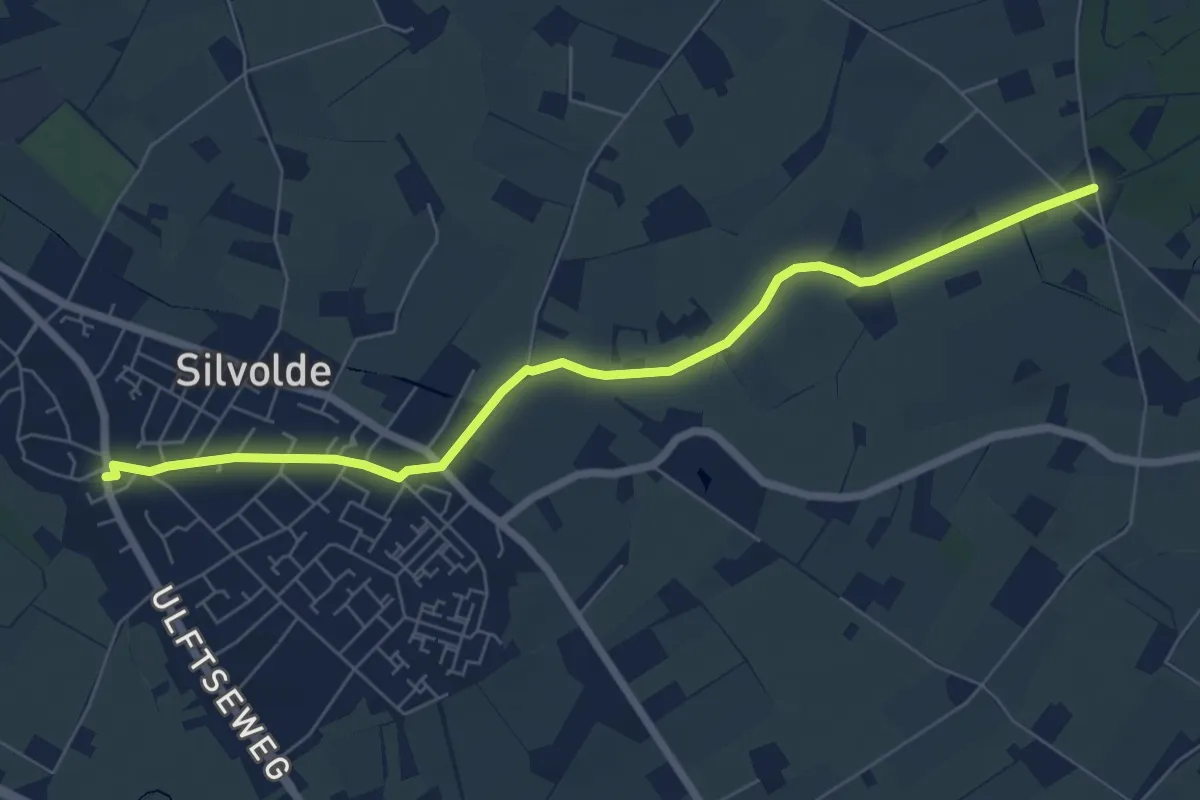
Easy · Trail
Verbindingsroute B18-X85
6.4 km · ↑ 4 m · 1 h 31 min
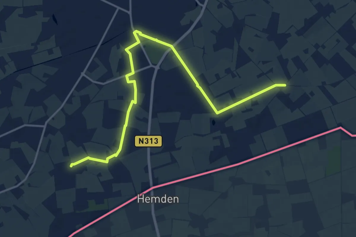
Medium · Trail
Verbindingsroute D11-D25
11.6 km · ↑ 25 m · 2 h 48 min
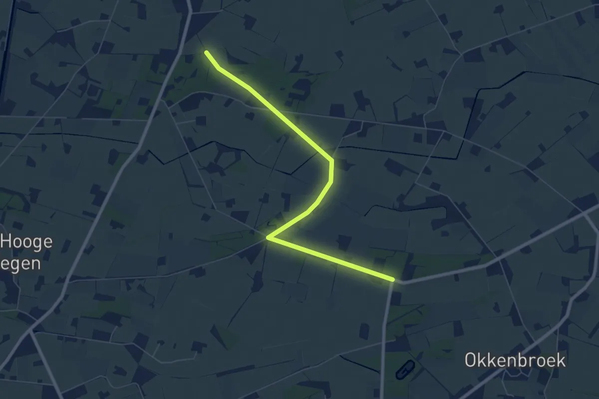
Easy · Trail
verbindingsroute H22-H43
6.2 km · ↑ 4 m · 1 h 29 min
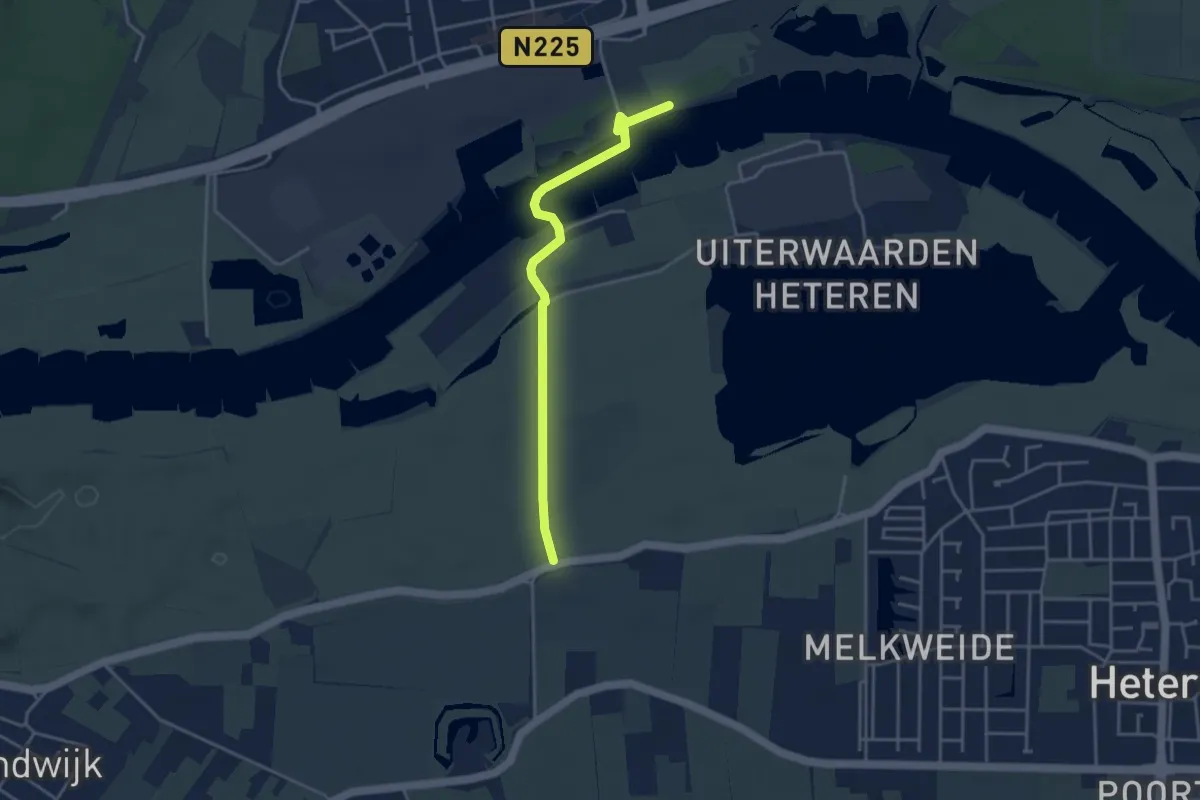
Easy · Trail
verbindingsroute O12-R15
3.4 km · ↑ 8 m · 49 min
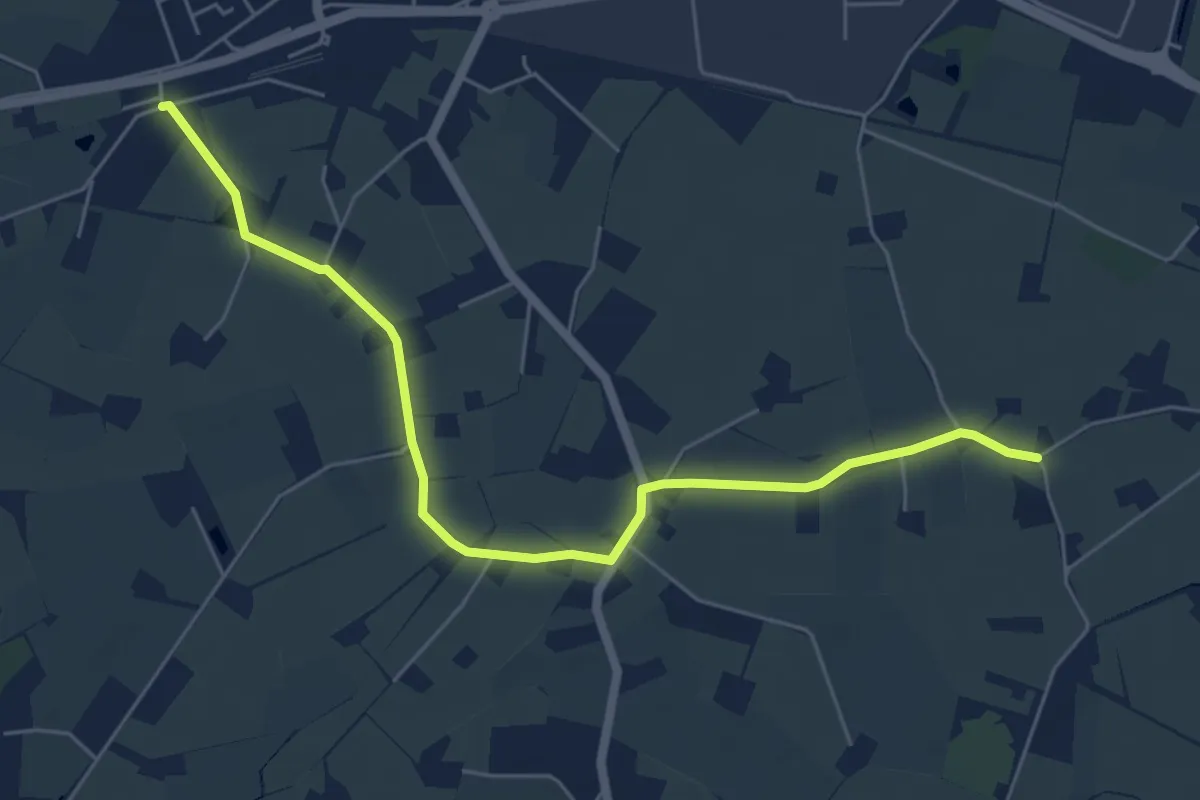
Easy · Trail
Verbindingsroute X21-X86
5.6 km · ↑ 0 m · 1 h 20 min
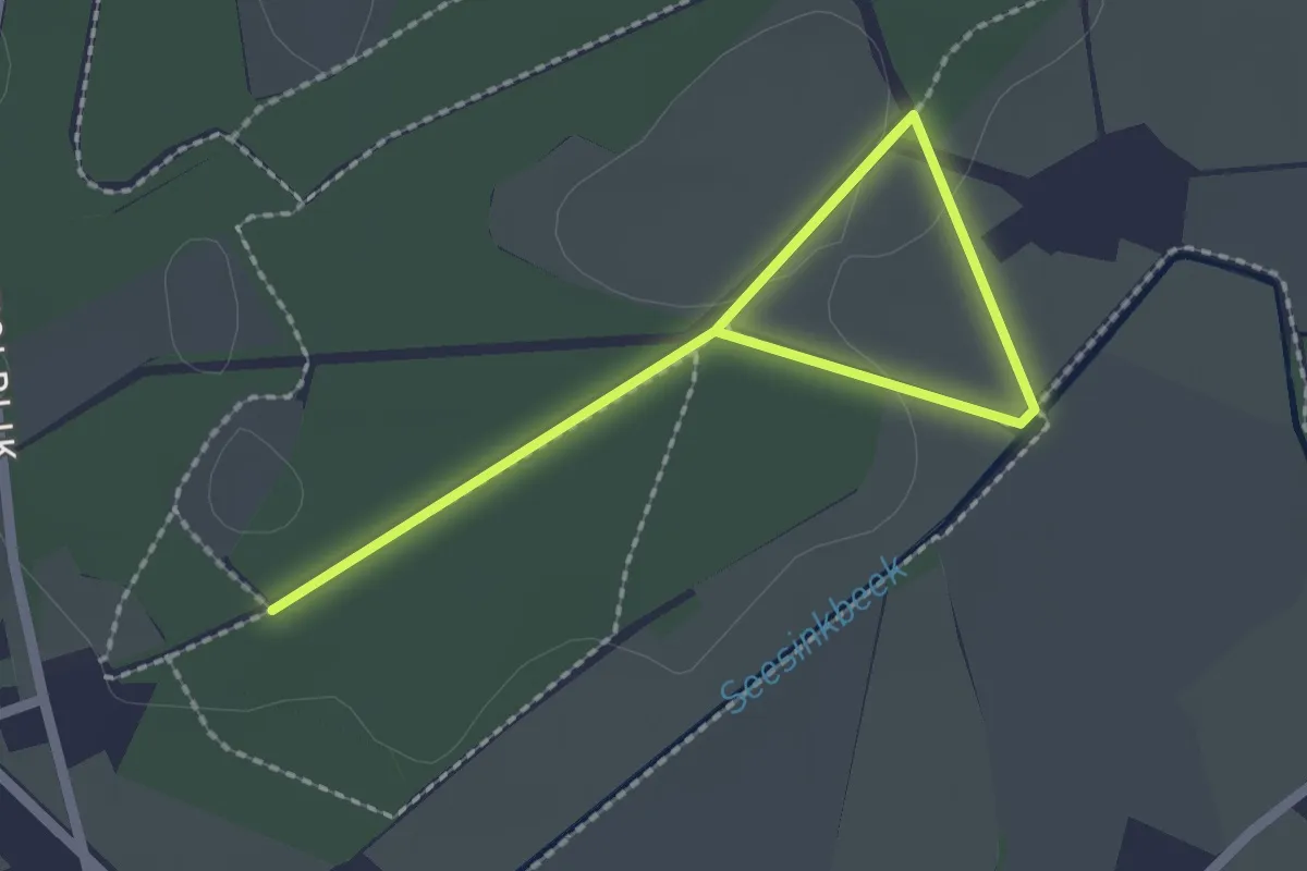
Easy · Trail
Verbindingsroute X58-X84-X88-X83
2.8 km · ↑ 4 m · 40 min
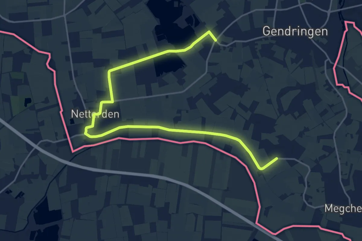
Medium · Trail
VerbindingsrouteY23-Y52-Y11-Y13
17.7 km · ↑ 0 m · 4 h 11 min
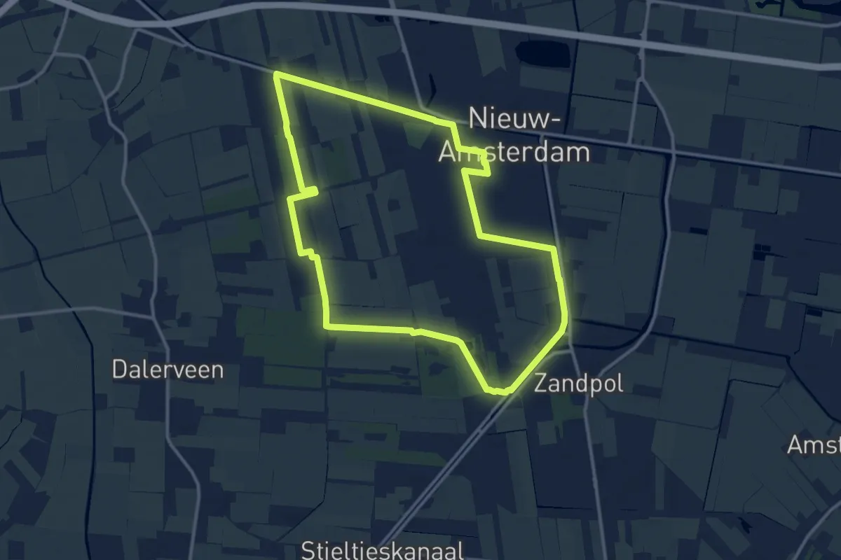
Medium · Trail
Verblijf in Oerlandschap - Van Gogh wandelroutes
10.7 km · ↑ 13 m · 2 h 42 min
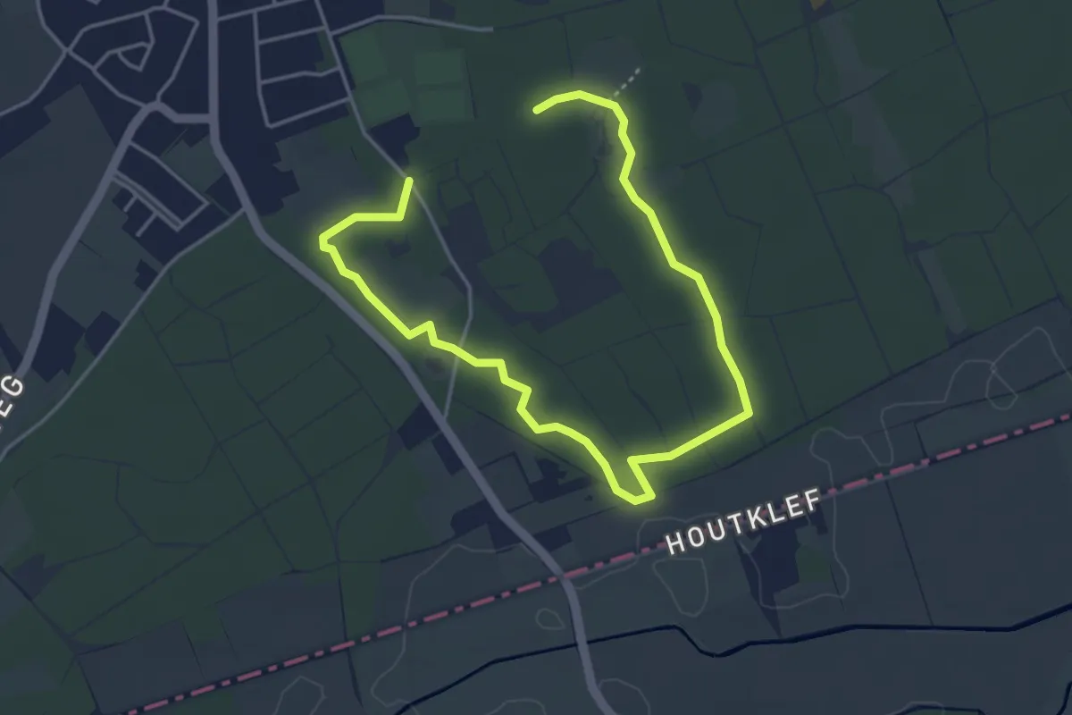
Easy · Trail
Versroute
5.3 km · ↑ 8 m · 1 h 16 min
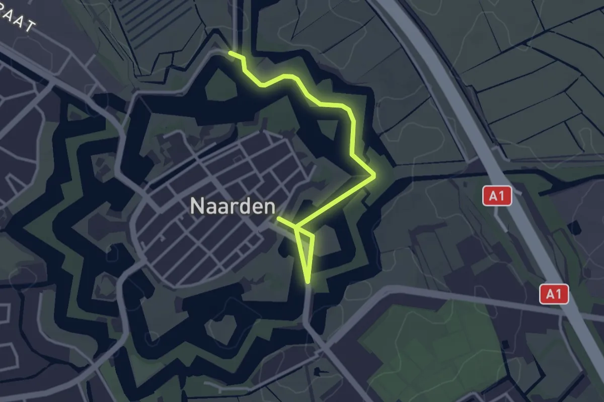
Easy · Trail
Vesting- en natuurpad Naarden
3.0 km · ↑ 0 m · 42 min
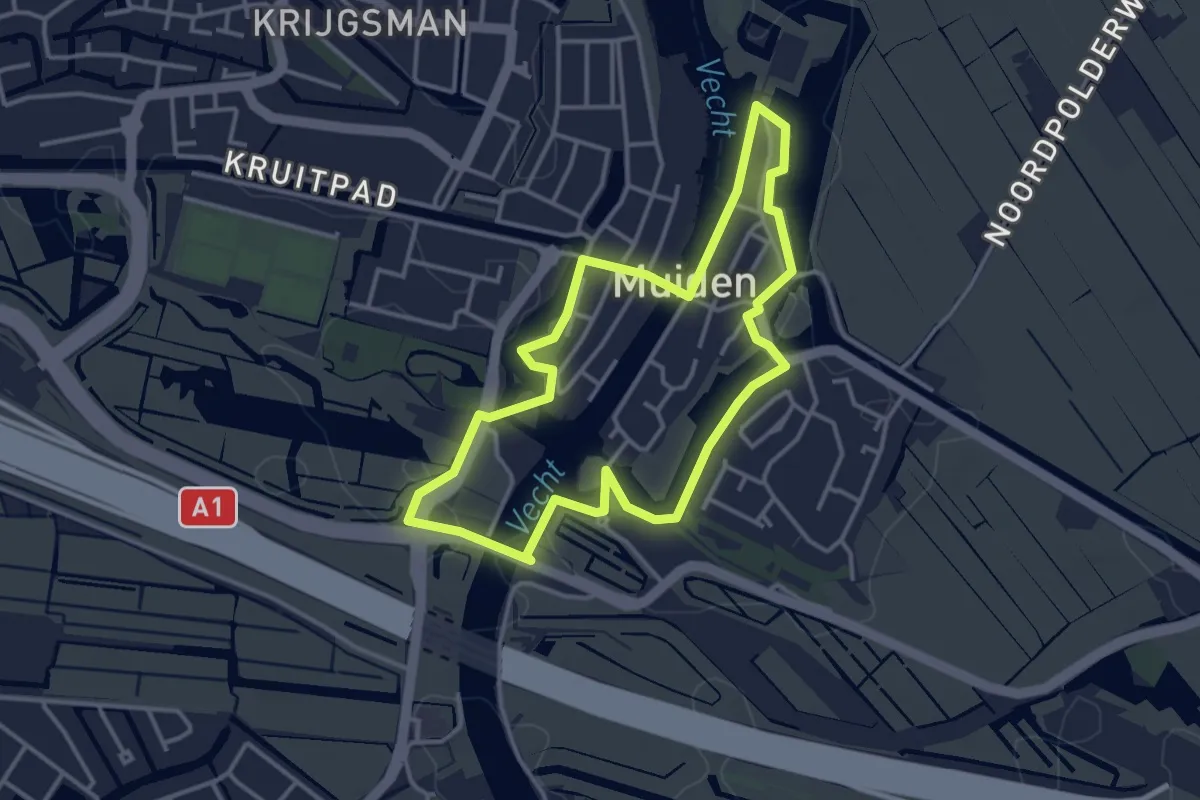
Easy · Trail
Vestinggrachtroute
3.1 km · ↑ 0 m · 46 min
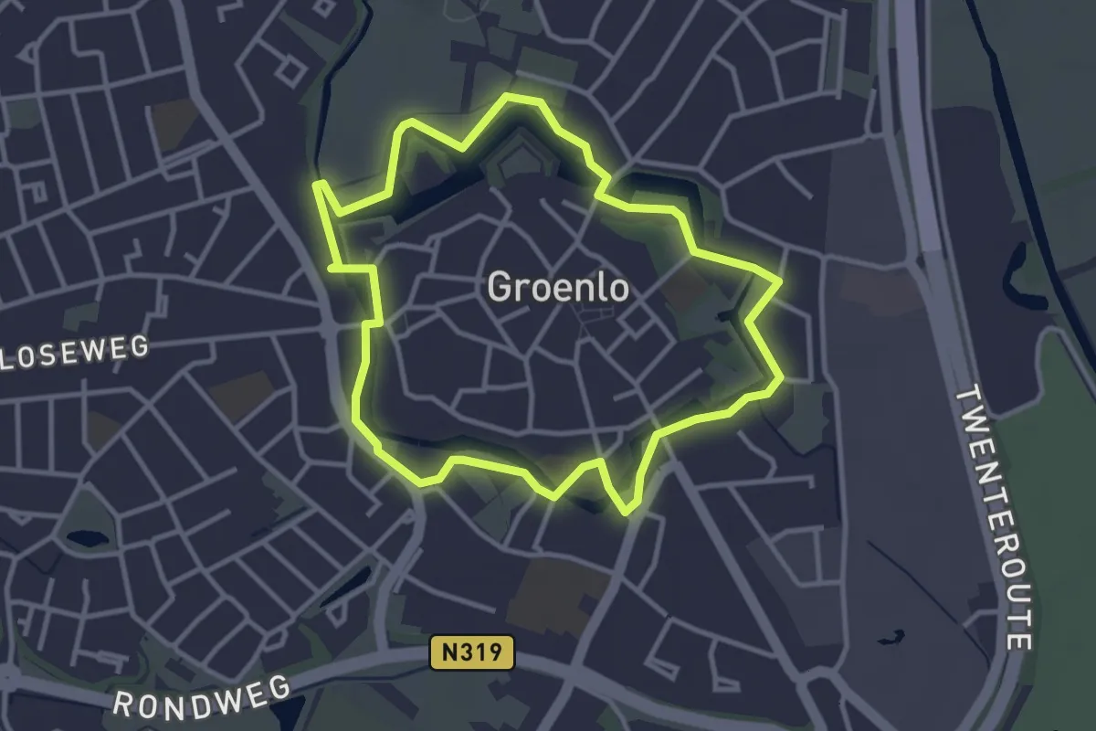
Easy · Trail
Vestingwandeling
2.9 km · ↑ 4 m · 43 min
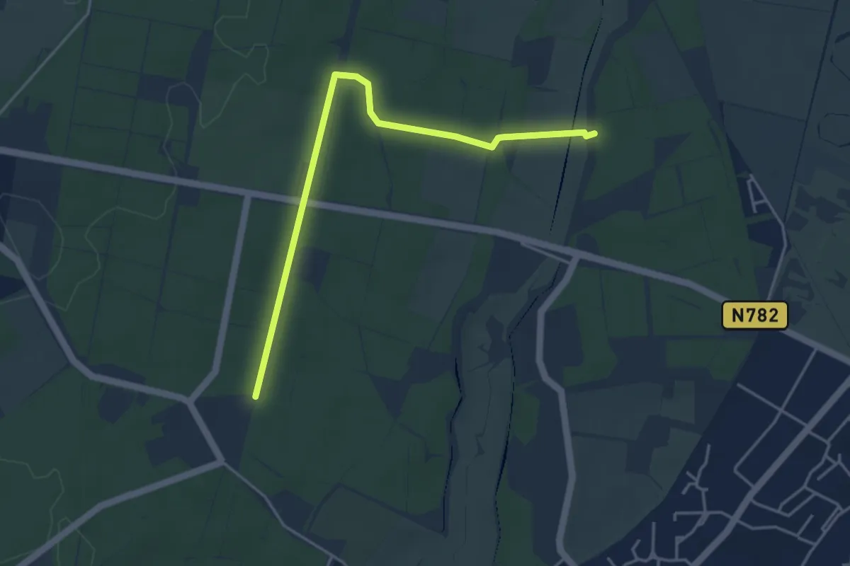
Easy · Trail
Via Arboretum Oostereng
3.8 km · ↑ 26 m · 57 min
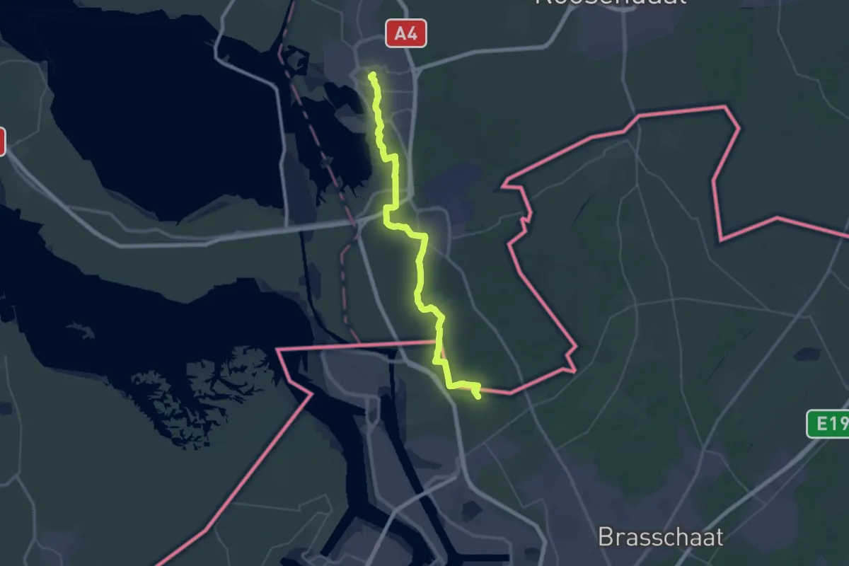
Demanding · Trail
Via Brabantica, Bergen-op-Zoom - Kapellen
22.4 km · ↑ 81 m · 5 h 46 min
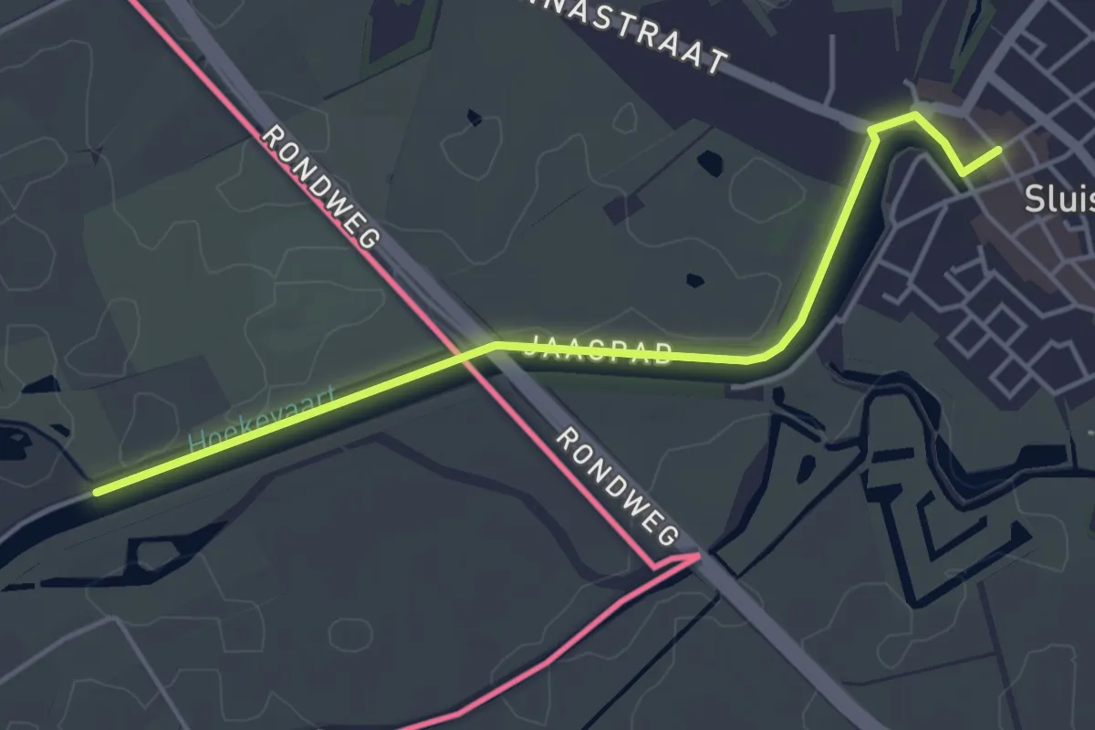
Easy · Trail
Via Brugensis
4.0 km · ↑ 4 m · 57 min
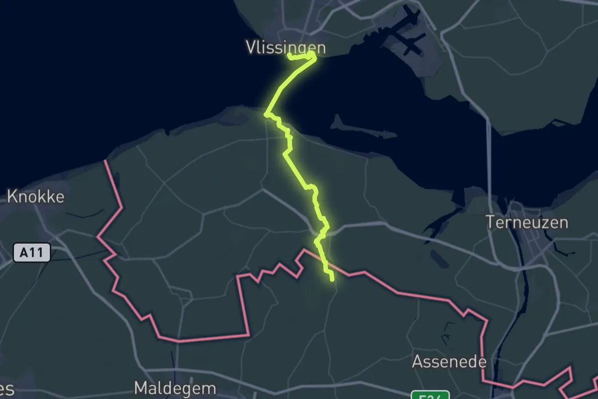
Demanding · Trail
Via Scaldea
26.7 km · ↑ 14 m · 6 h 42 min
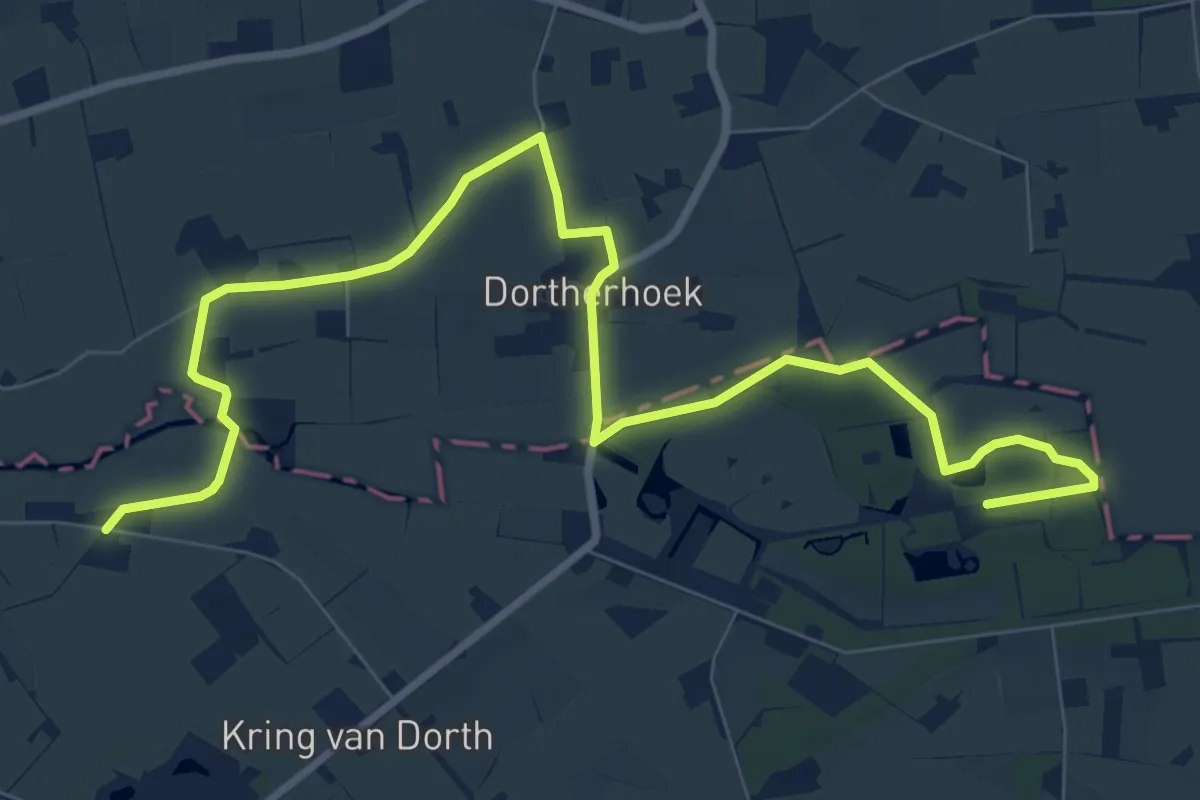
Easy · Trail
Vierbekenroute Dorth
5.0 km · ↑ 14 m · 1 h 16 min
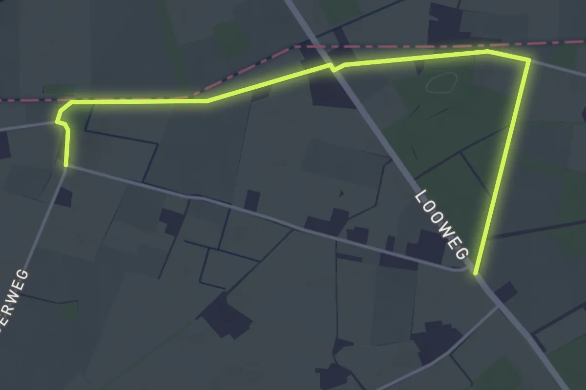
Easy · Trail
Vierbekenroute Schoolt
2.2 km · ↑ 0 m · 32 min
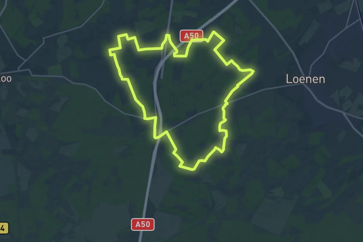
Medium · Summit
Vier Bergenroute - Varenna/Lierderbos - paarse route
17.9 km · ↑ 114 m · 4 h 43 min
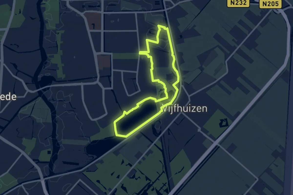
Easy · Trail
Vijfhuizer Molenroute
7.1 km · ↑ 4 m · 1 h 46 min
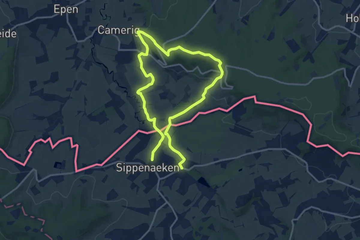
Easy · Trail
Vijlenerbosch - Sippenaeken
7.6 km · ↑ 182 m · 2 h 18 min
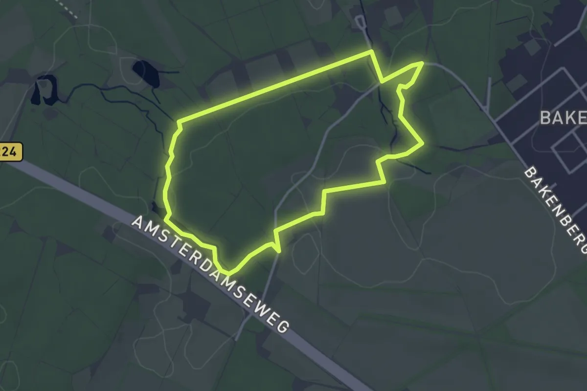
Easy · Summit
Vijverberg en Hoog Erf
2.9 km · ↑ 30 m · 48 min
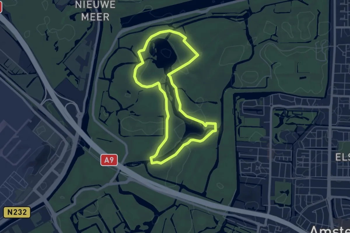
Easy · Trail
Vijverwandeling
4.8 km · ↑ 26 m · 1 h 16 min
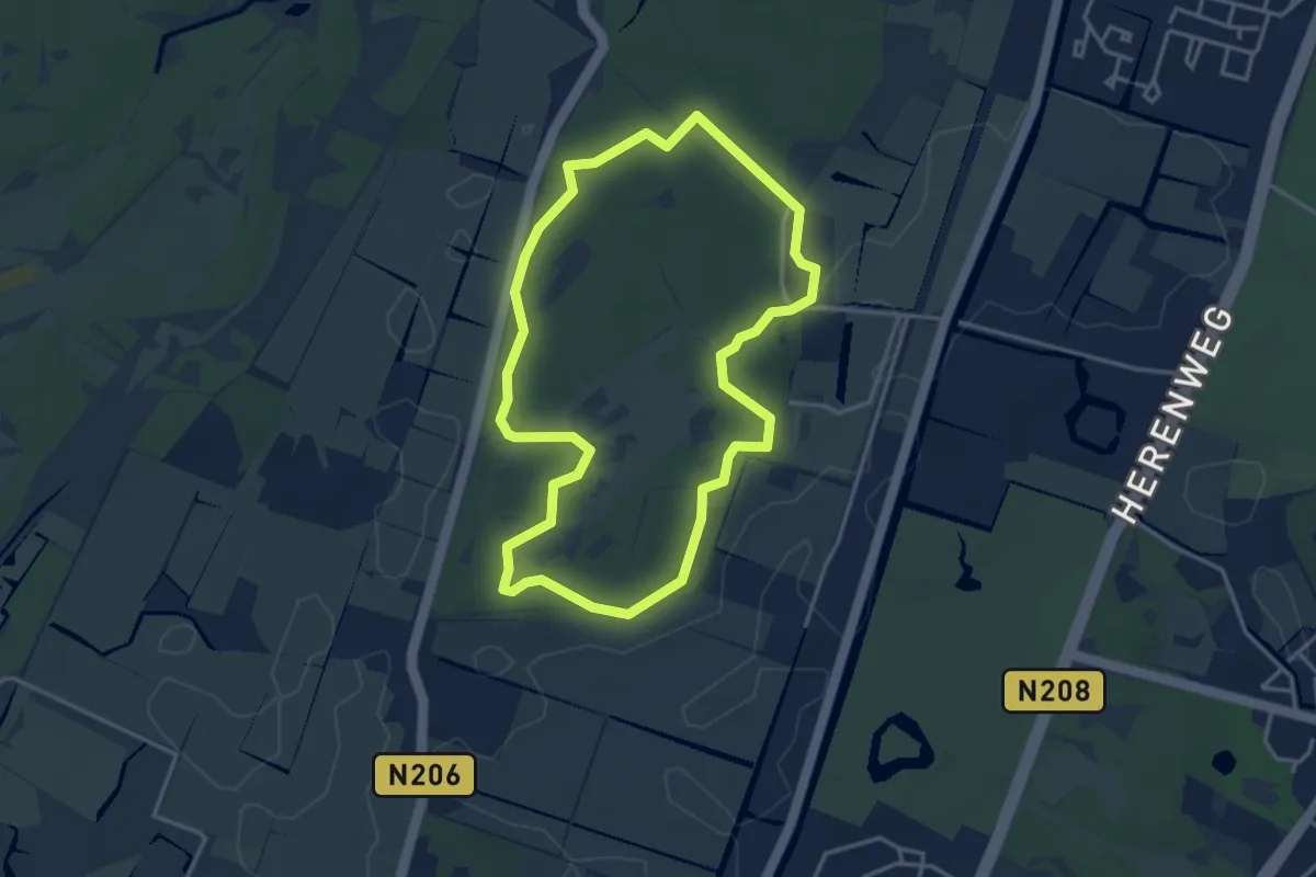
Easy · Trail
Vinkenduin en Oud Woestduin
3.2 km · ↑ 9 m · 50 min
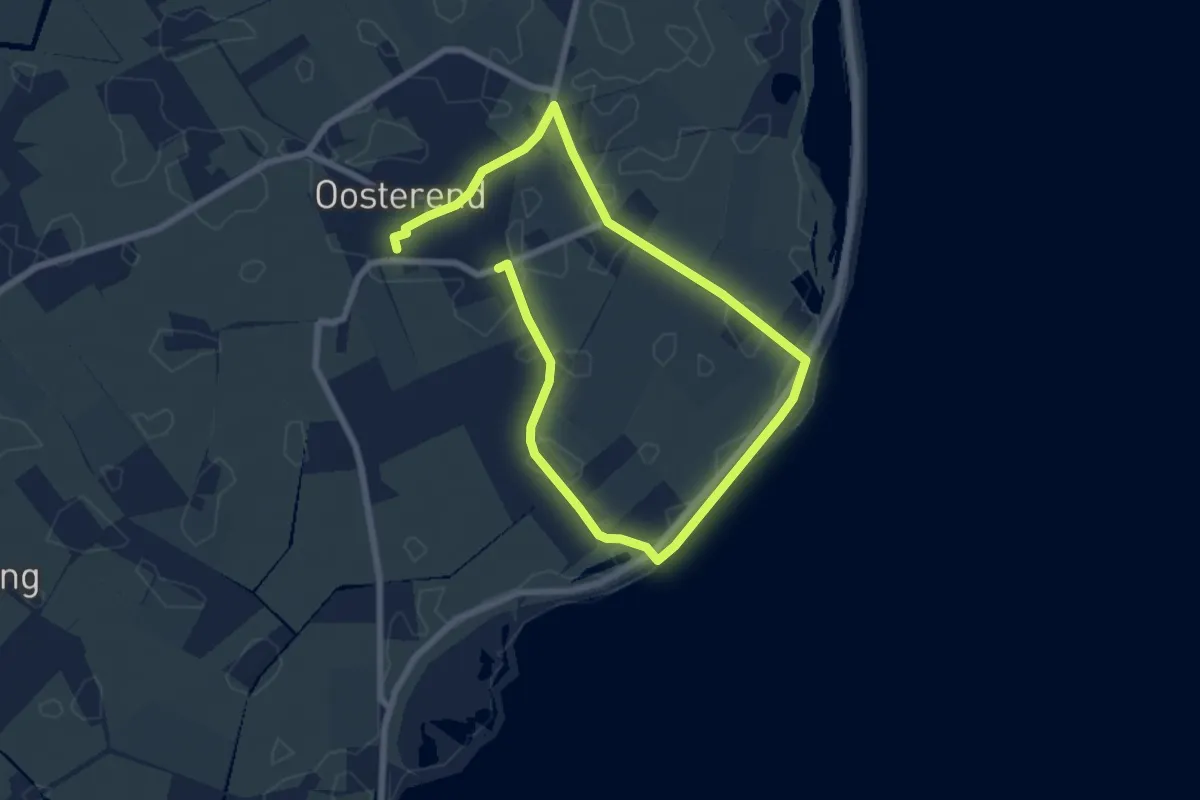
Easy · Trail
Vissersommetje
4.8 km · ↑ 0 m · 1 h 12 min
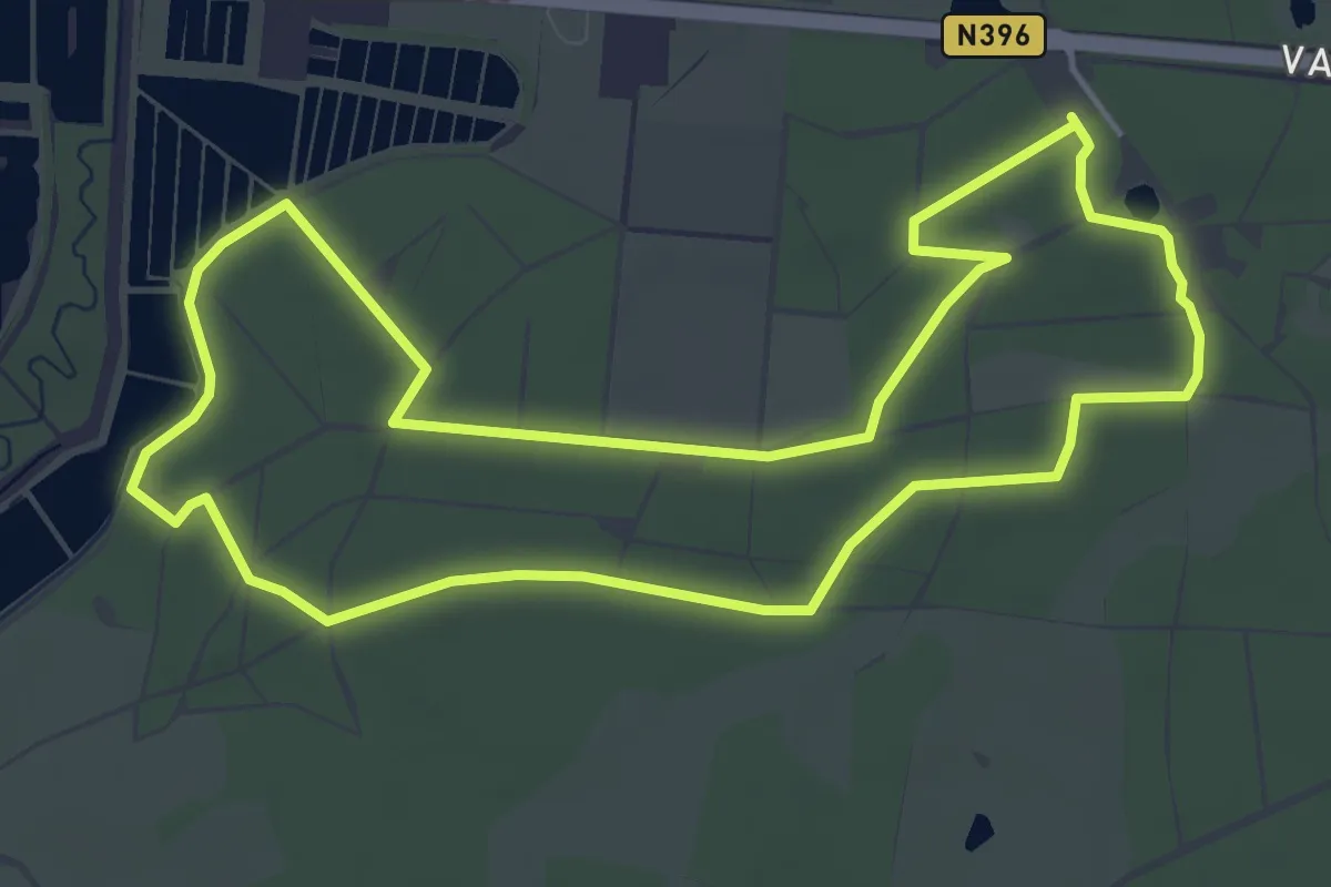
Easy · Trail
Visvijverroute
4.7 km · ↑ 12 m · 1 h 11 min
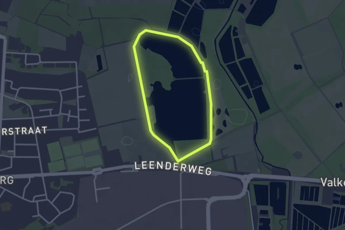
Easy · Trail
Visvijvers
2.0 km · ↑ 4 m · 31 min
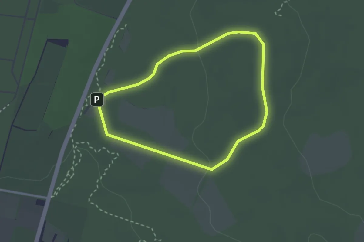
Easy · Summit
Vlakkebergroute
2.0 km · ↑ 22 m · 32 min
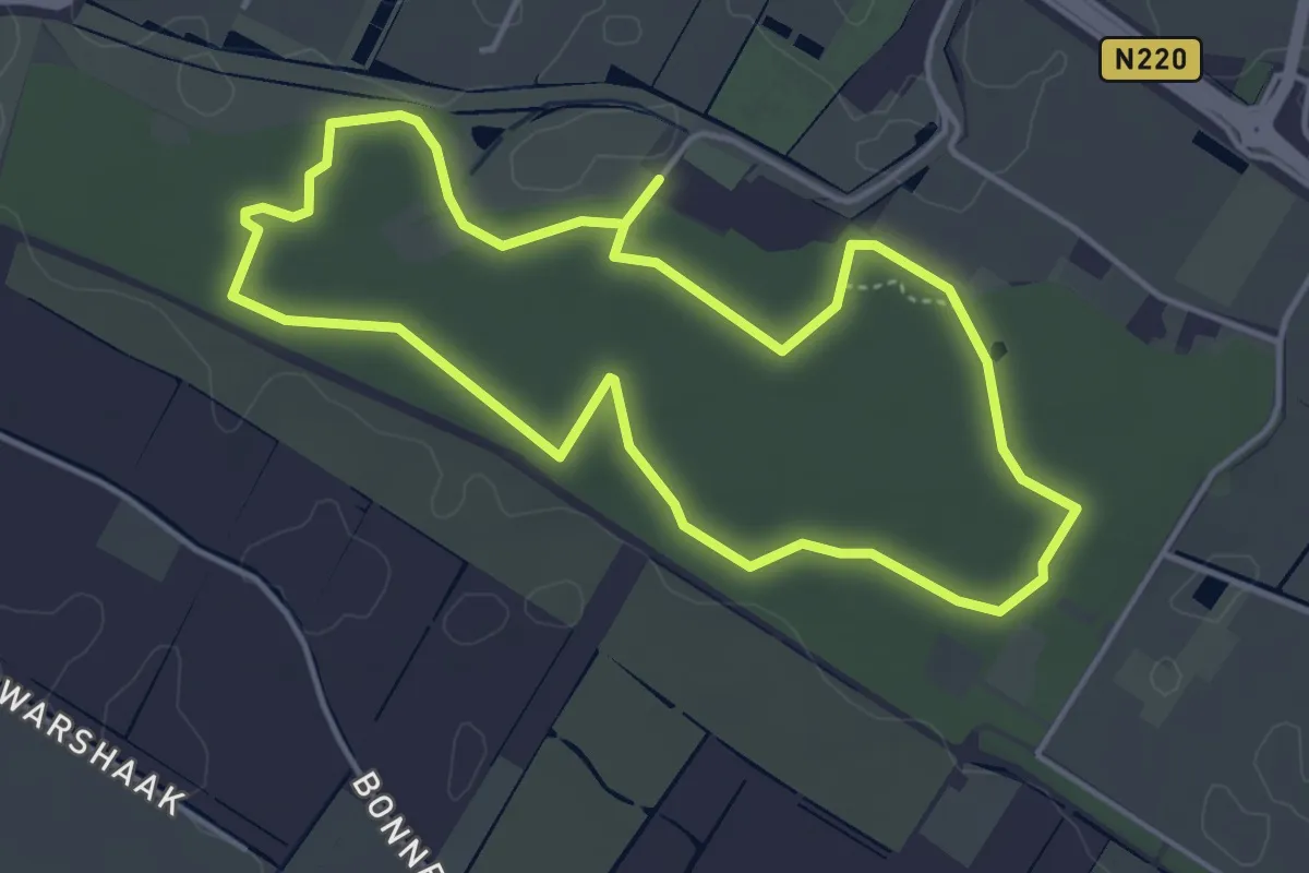
Easy · Trail
Vleermuisroute
3.8 km · ↑ 13 m · 59 min
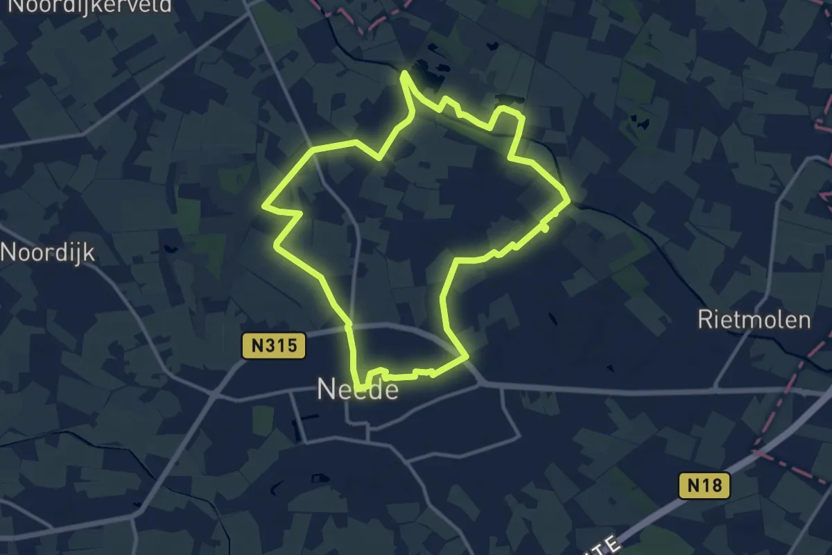
Medium · Trail
Vleerroute
10.4 km · ↑ 17 m · 2 h 38 min
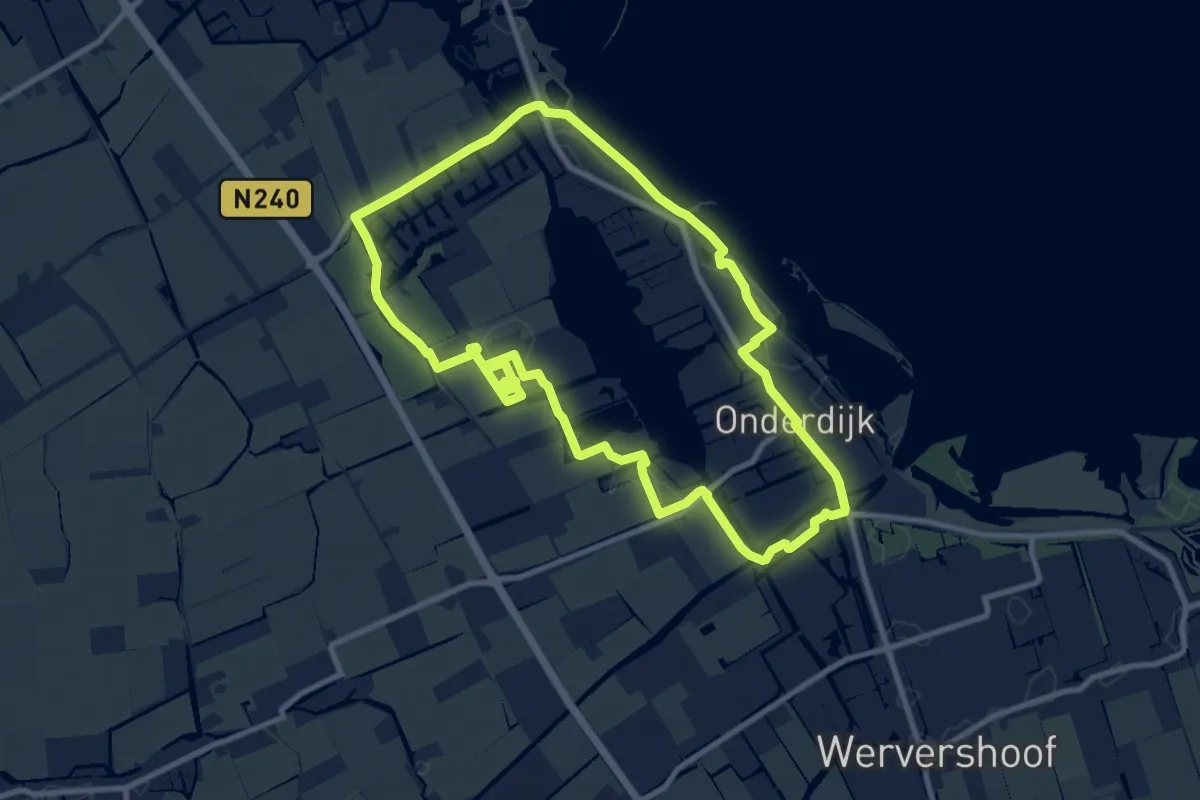
Medium · Trail
Vlietroute
8.8 km · ↑ 8 m · 2 h 14 min
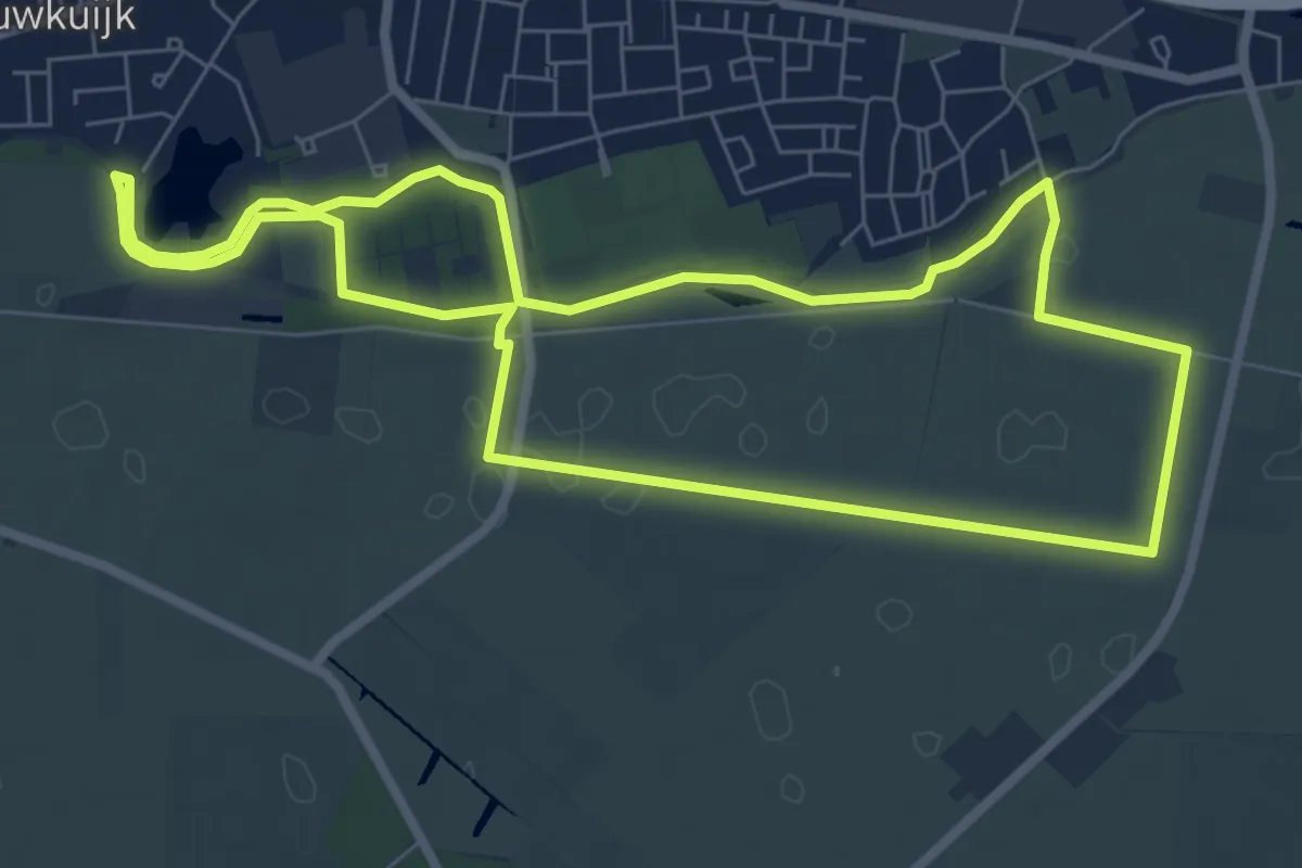
Easy · Trail
Vlijmens Ven
6.7 km · ↑ 4 m · 1 h 41 min
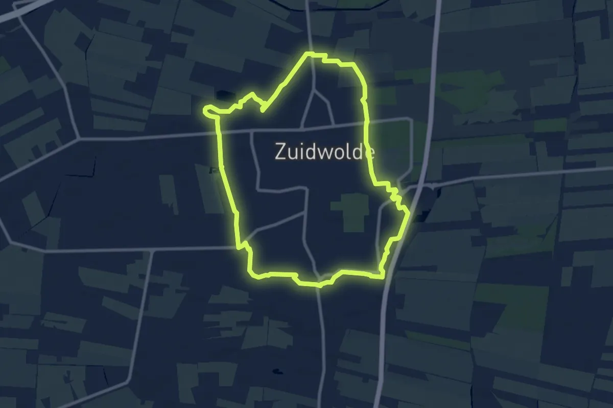
Easy · Summit
Vlinderommetje Zuidwolde
7.6 km · ↑ 13 m · 1 h 56 min
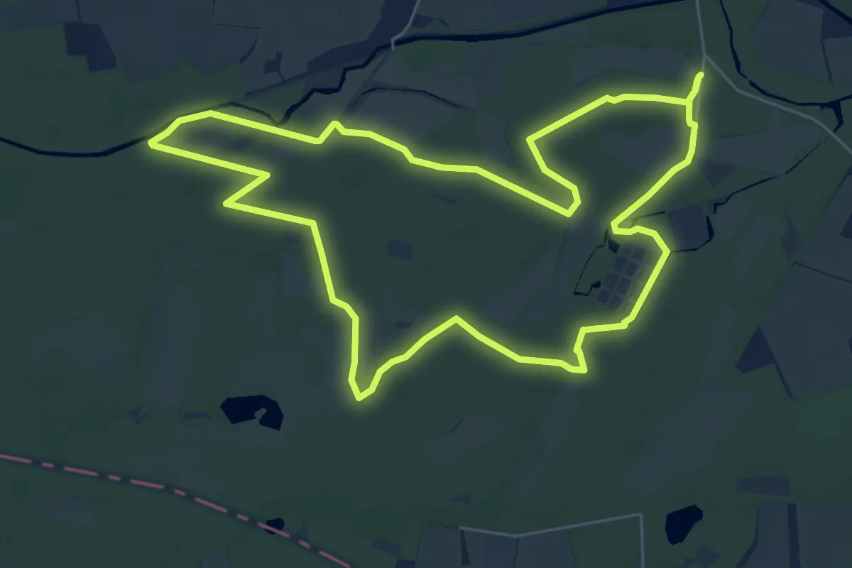
Easy · Trail
Vloeiweidenpad
6.0 km · ↑ 13 m · 1 h 32 min
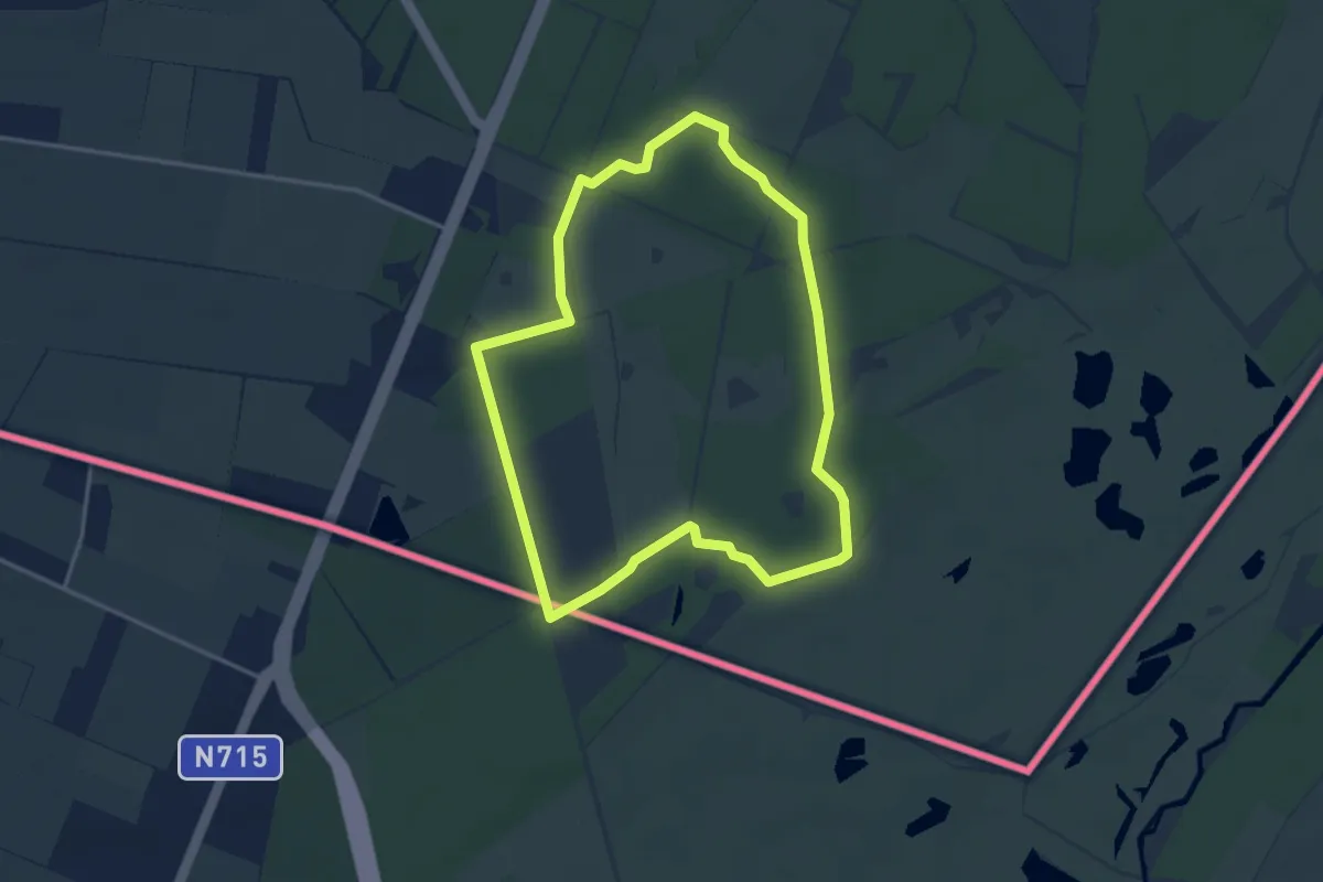
Easy · Trail
Vloeiweidepad
3.2 km · ↑ 4 m · 49 min
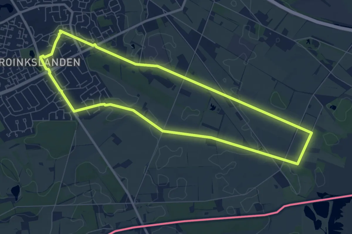
Easy · Trail
VNW Twente - Stroinkslanden/Aamsveen - blauwe route
6.9 km · ↑ 12 m · 1 h 45 min
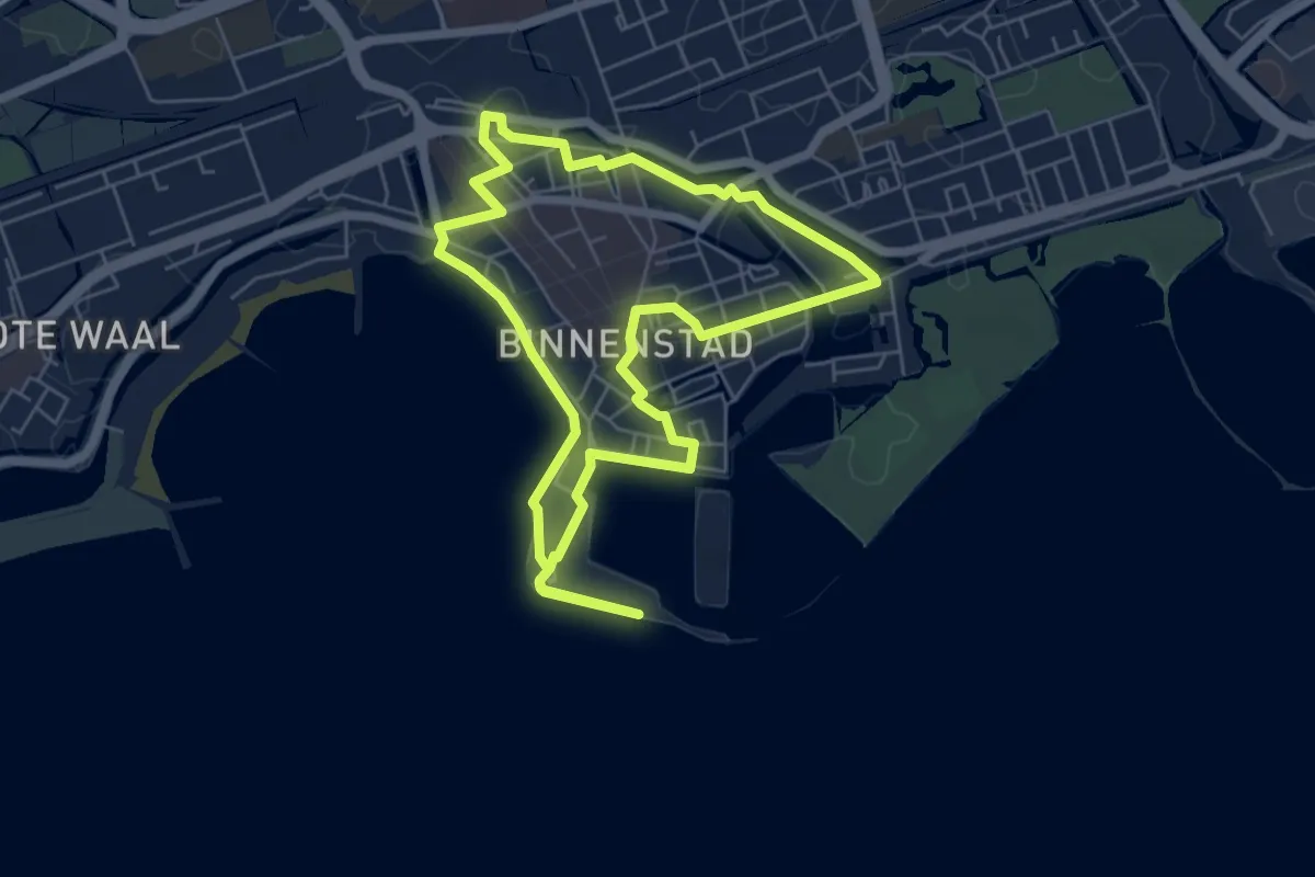
Easy · Trail
VOC-route
5.2 km · ↑ 0 m · 1 h 18 min
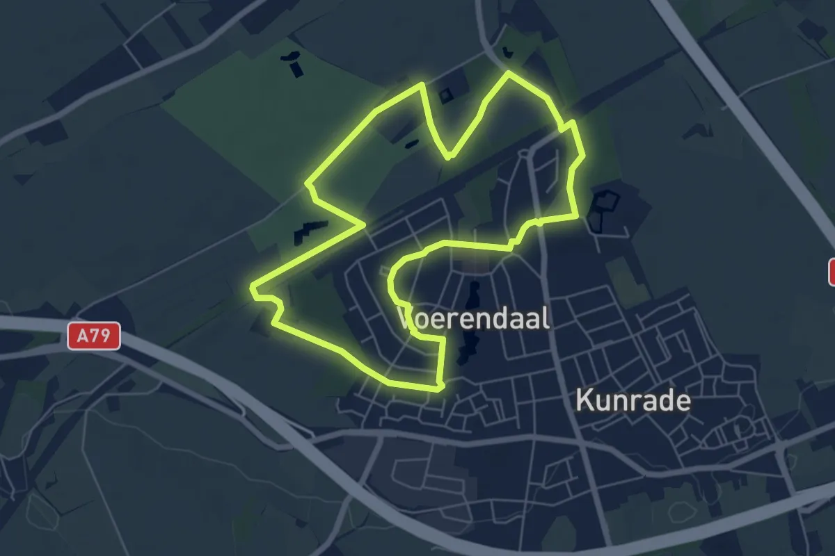
Easy · Trail
Voerendaal V10 Haerenbos
5.4 km · ↑ 8 m · 1 h 23 min
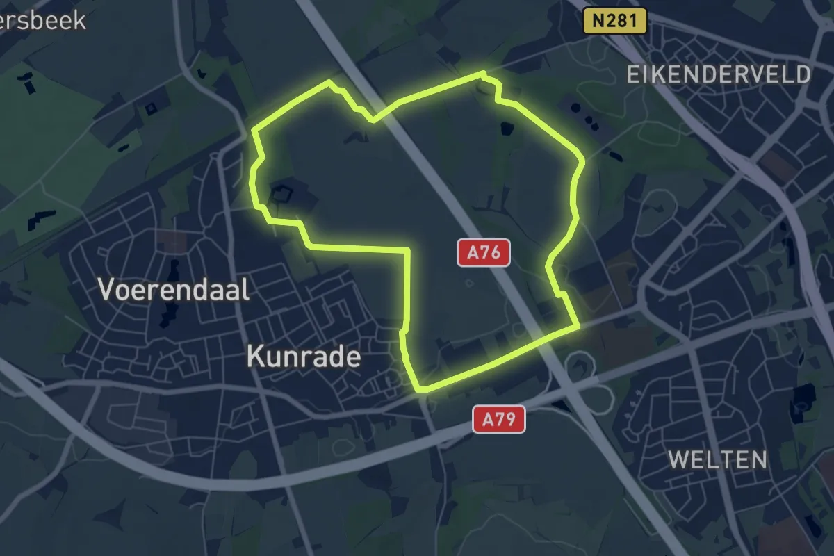
Easy · Trail
Voerendaal V11 Terworm
5.9 km · ↑ 17 m · 1 h 30 min
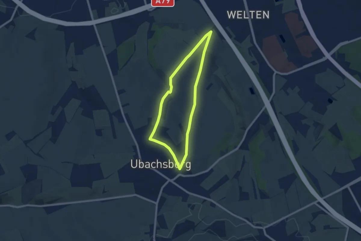
Easy · Trail
Voerendaal V12 Kunderberg
4.4 km · ↑ 68 m · 1 h 15 min
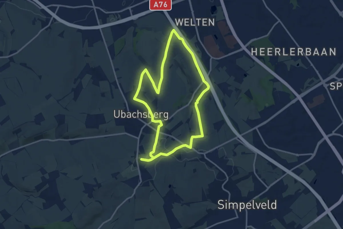
Medium · Summit
Voerendaal V13 Kalkoven en Breedeweg route
9.4 km · ↑ 109 m · 2 h 36 min
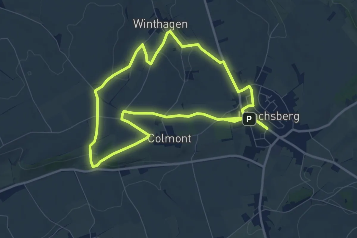
Easy · Trail
Voerendaal V14 Winthagen
7.3 km · ↑ 104 m · 2 h 3 min
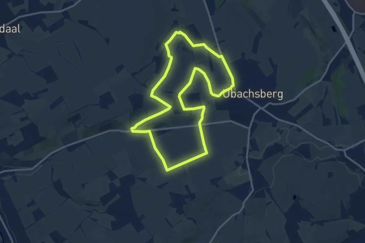
Medium · Trail
Voerendaal V15 Vrakelberg
8.0 km · ↑ 151 m · 2 h 20 min
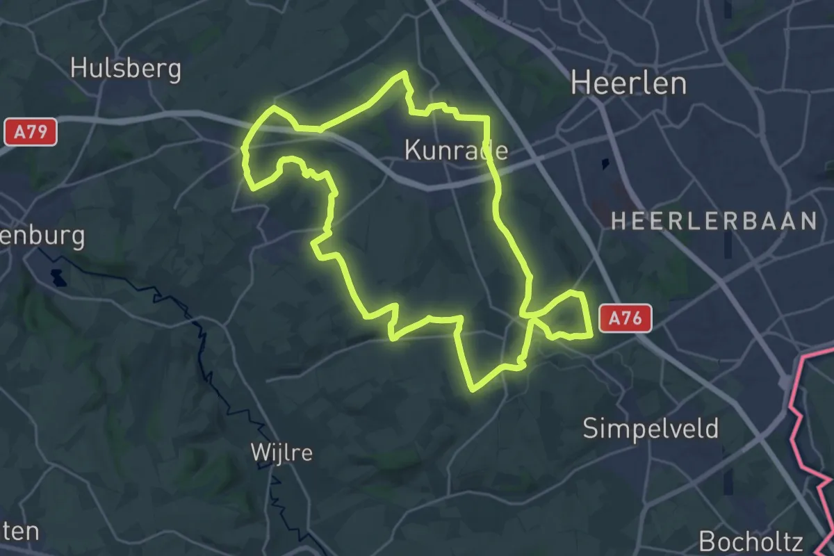
Demanding · Summit
Voerendaal V16 Vrouwenheide
23.1 km · ↑ 268 m · 6 h 22 min
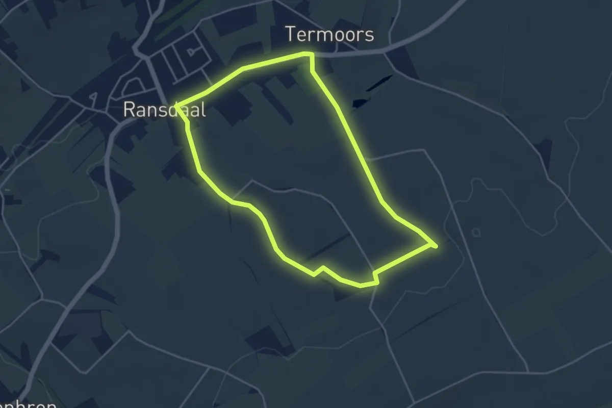
Easy · Trail
Voerendaal V17 Rundje 't Hieëmelriek
3.5 km · ↑ 36 m · 57 min
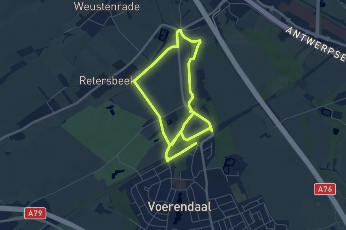
Easy · Trail
Voerendaal V18 Ommetje Putter Gewande
5.4 km · ↑ 13 m · 1 h 22 min
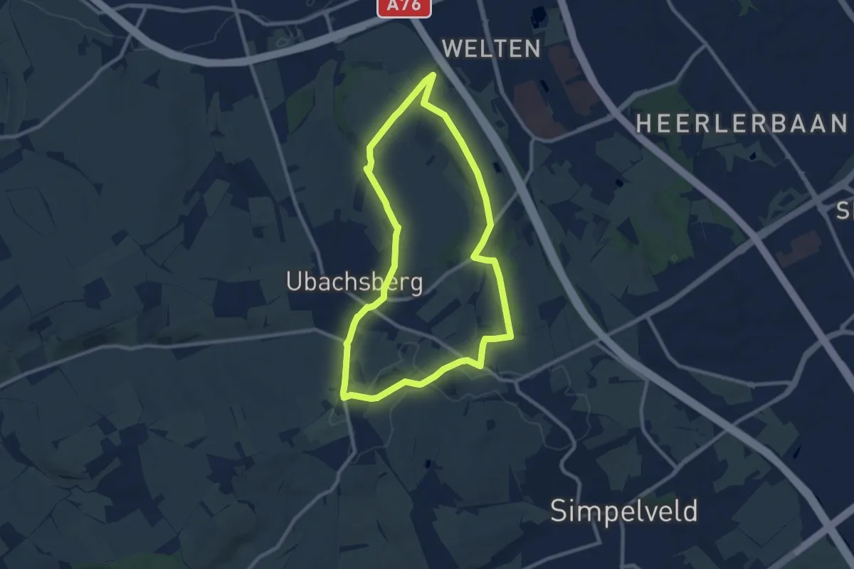
Easy · Summit
Voerendaal V19 Kalkoven route
8.0 km · ↑ 120 m · 2 h 15 min