Trails in Netherlands
5,039 hiking trails, each with its route, climb, walking time and grade.
All trails, page 76 of 105
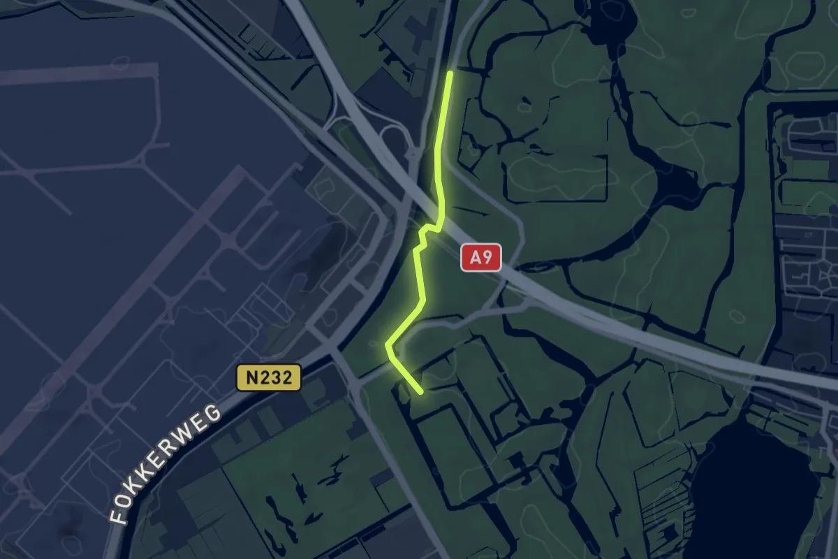
Easy · Trail
WNW Noord-Holland verbindingsroute 81-85
3.6 km · ↑ 9 m · 52 min
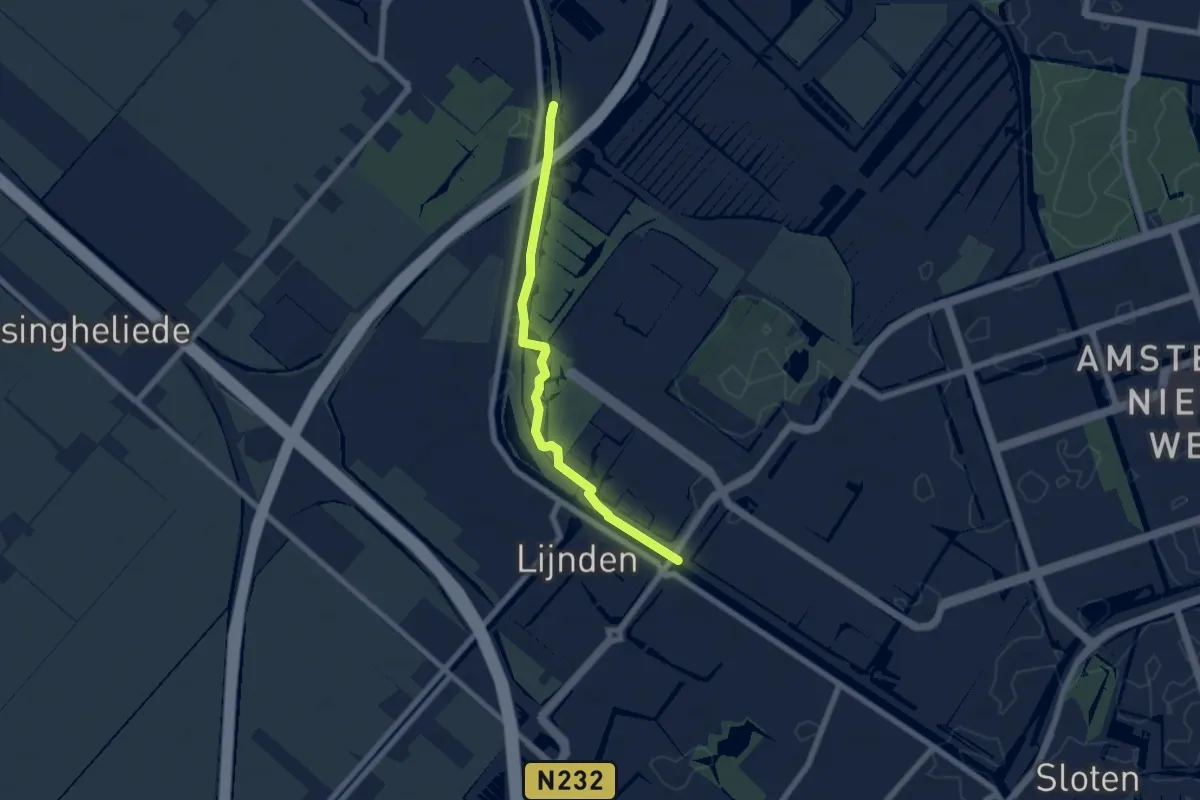
Easy · Trail
WNW Noord-Holland verbindingsroute 82-76-90
5.6 km · ↑ 0 m · 1 h 19 min
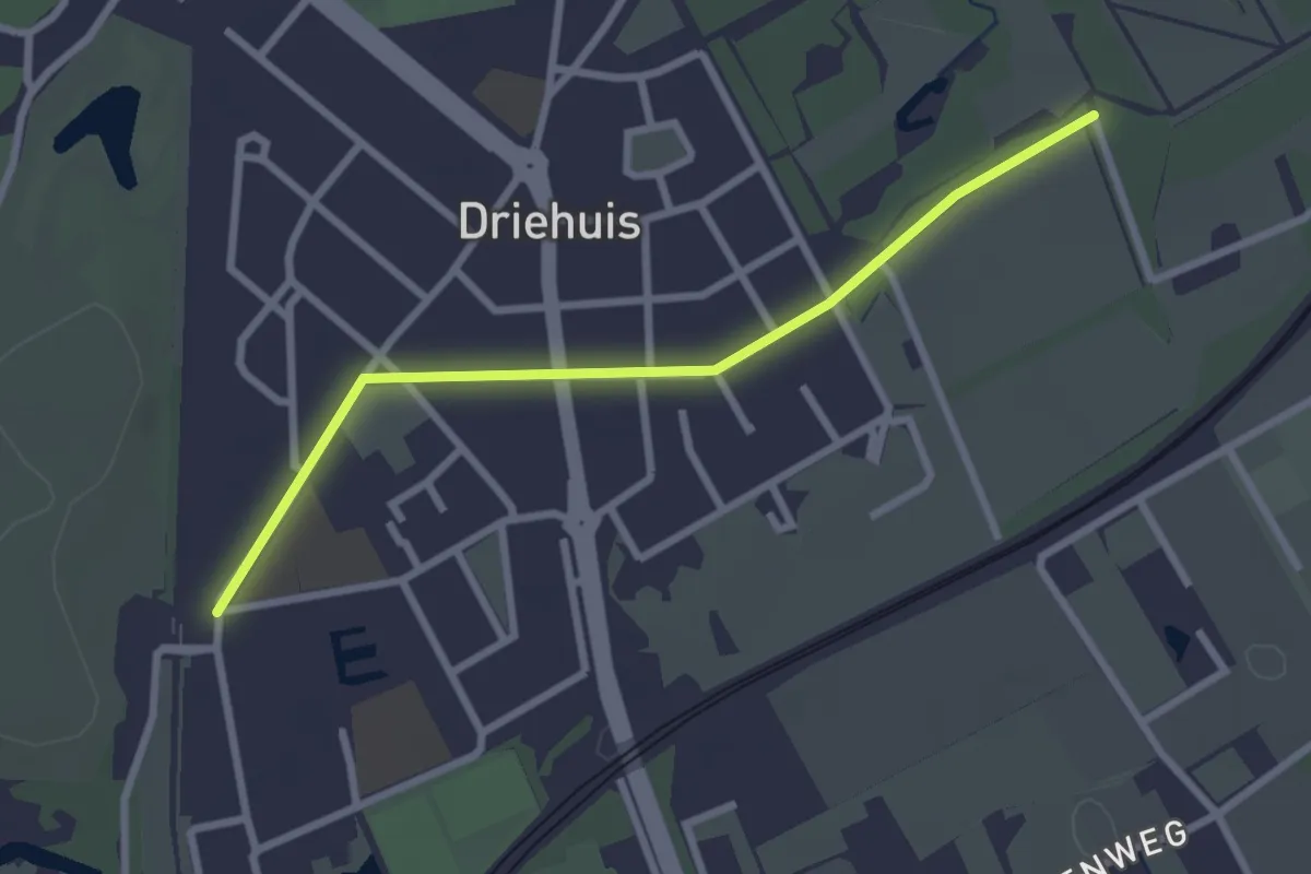
Easy · Trail
WNW Noord-Holland verbindingsroute 83-85
2.4 km · ↑ 0 m · 34 min
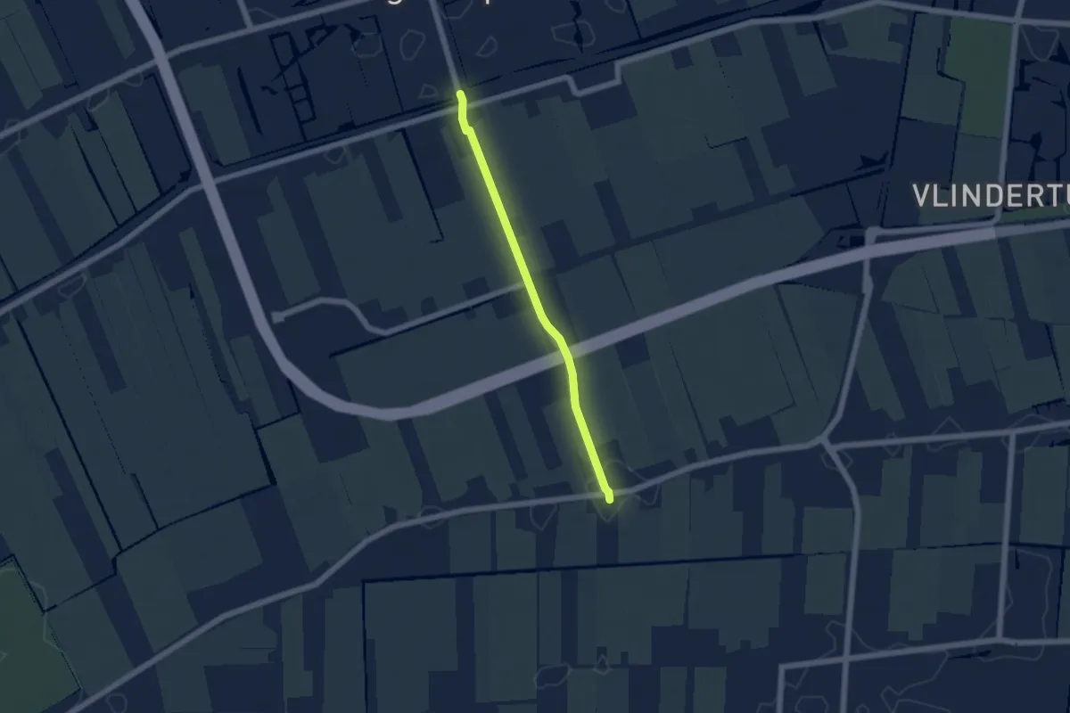
Easy · Trail
WNW Noord-Holland verbindingsroute 85-89
4.0 km · ↑ 4 m · 57 min
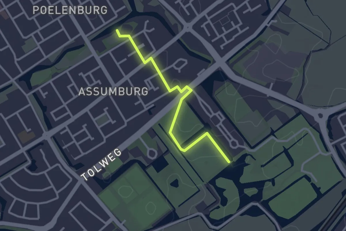
Easy · Trail
WNW Noord-Holland verbindingsroute 86-87
2.3 km · ↑ 0 m · 33 min
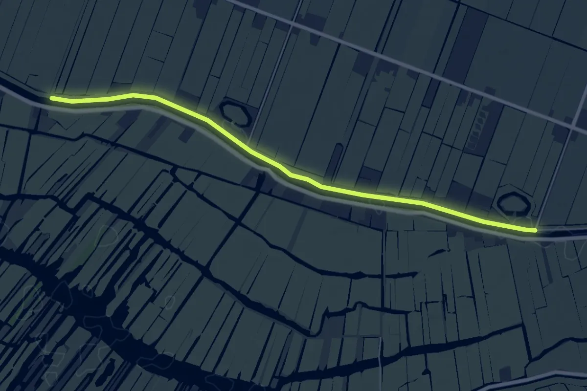
Easy · Trail
WNW Noord-Holland verbindingsroute 9-49
6.4 km · ↑ 0 m · 1 h 31 min
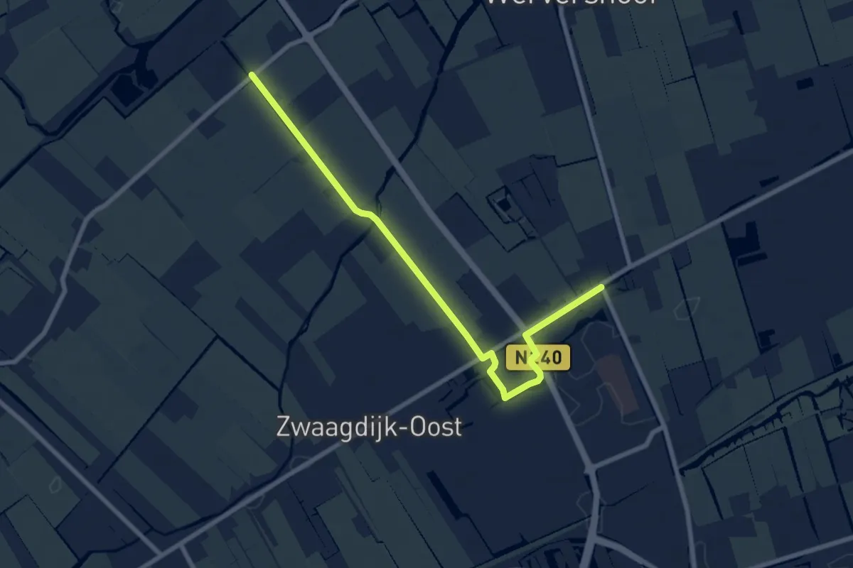
Easy · Trail
WNW Noord-Holland verbinidingsroute 12-70
6.9 km · ↑ 4 m · 1 h 39 min
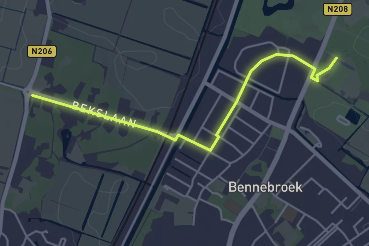
Easy · Trail
WNW Noord-Holland verbinidingsroute 16-19
3.4 km · ↑ 13 m · 51 min
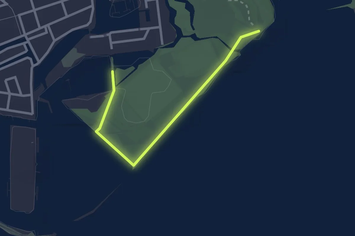
Easy · Trail
WNW Noord-Hollland verbindingsroute 82-85
2.1 km · ↑ 4 m · 30 min
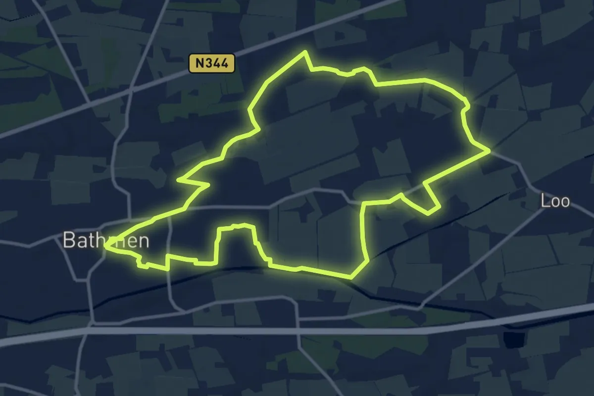
Medium · Trail
WNW Salland - Bathmen - gele route
10.2 km · ↑ 9 m · 2 h 34 min
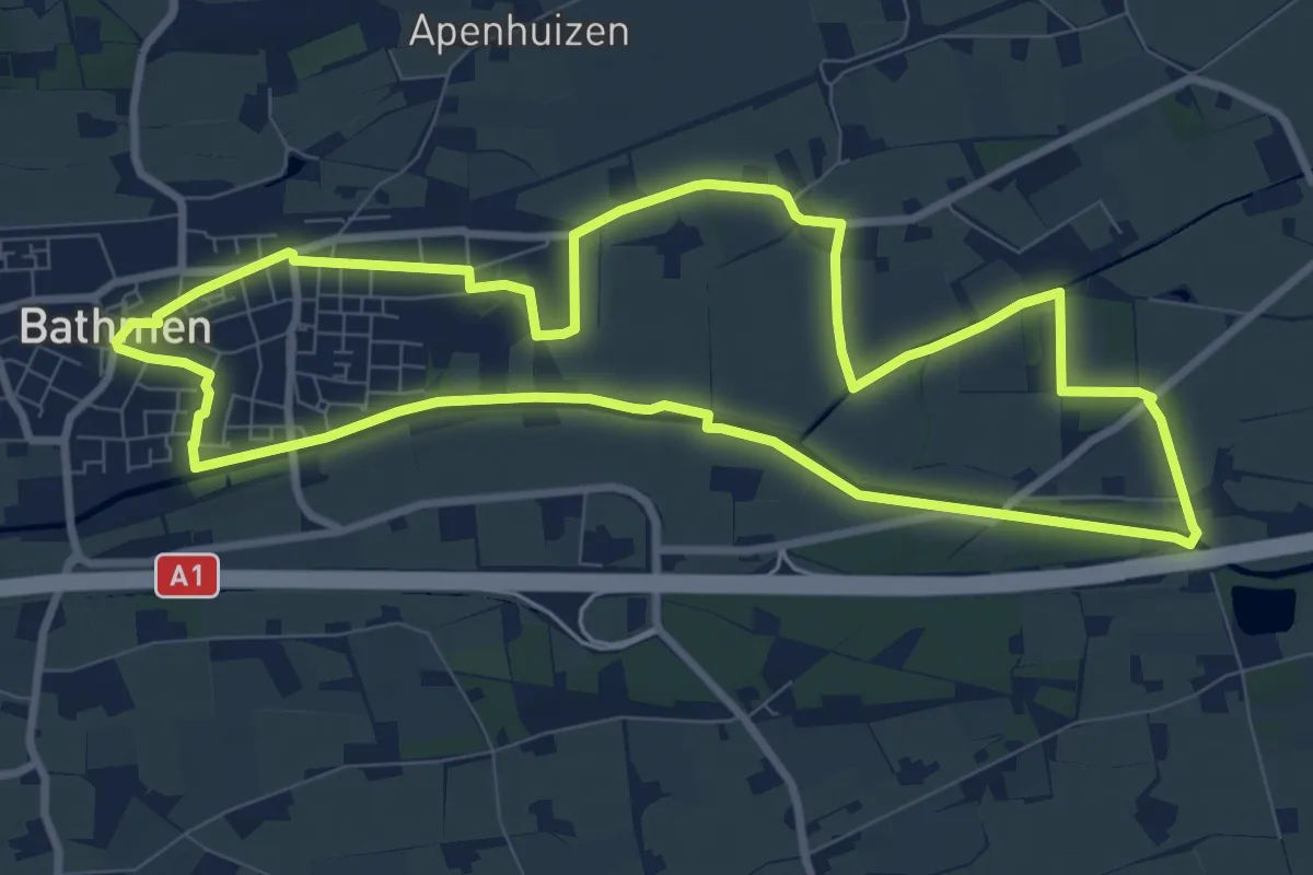
Medium · Trail
WNW Salland - Bathmen - groene route
8.5 km · ↑ 9 m · 2 h 9 min
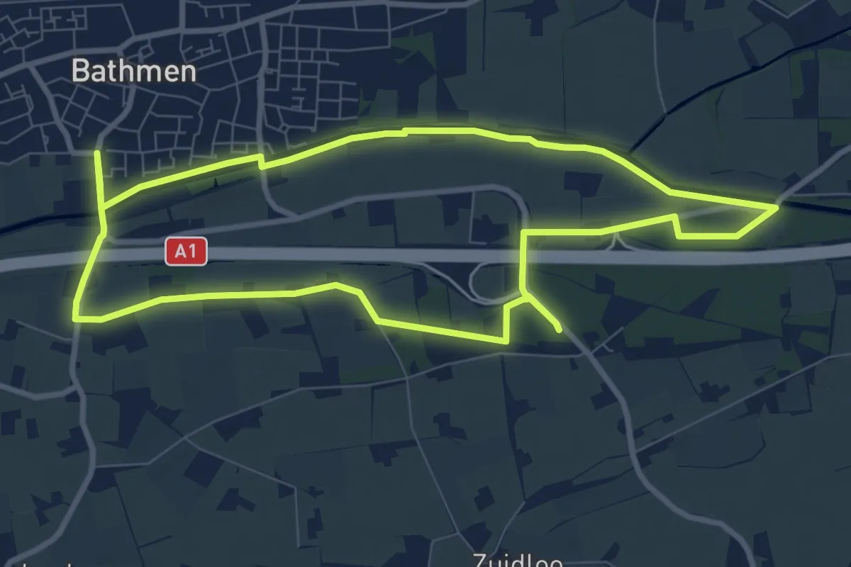
Easy · Trail
WNW Salland - Bathmen/Marsdijk - blauwe route
7.6 km · ↑ 17 m · 1 h 56 min
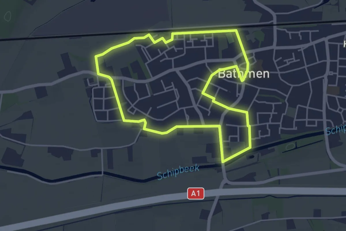
Easy · Trail
WNW Salland - Bathmen - oranje route
3.8 km · ↑ 4 m · 58 min
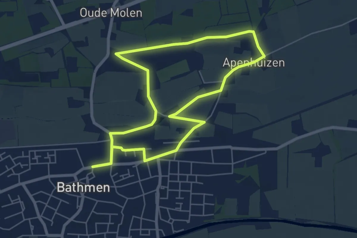
Easy · Trail
WNW Salland - Bathmen - rode route
4.5 km · ↑ 8 m · 1 h 9 min
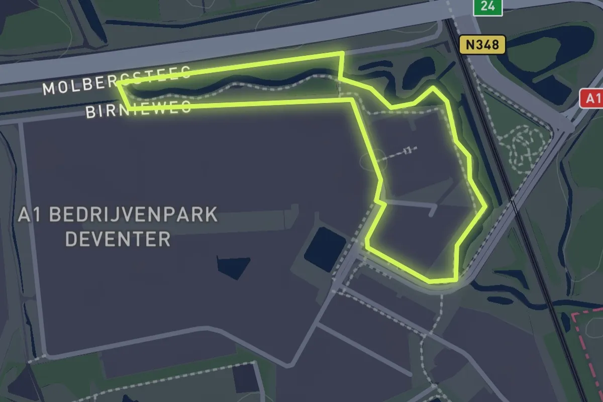
Easy · Trail
WNW Salland - Birnieweg - groene route
1.9 km · ↑ 0 m · 29 min
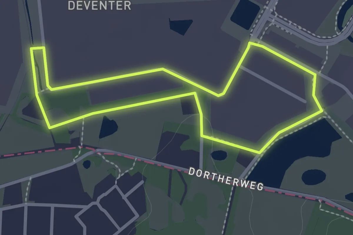
Easy · Trail
WNW Salland - Birnieweg/Van der Landeweg - paarse route
2.1 km · ↑ 0 m · 31 min
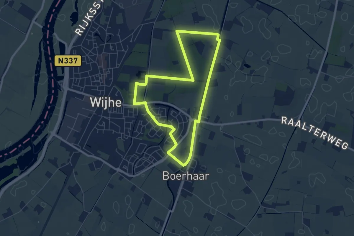
Easy · Trail
WNW Salland - Boerhaar - paarse route
5.4 km · ↑ 14 m · 1 h 23 min
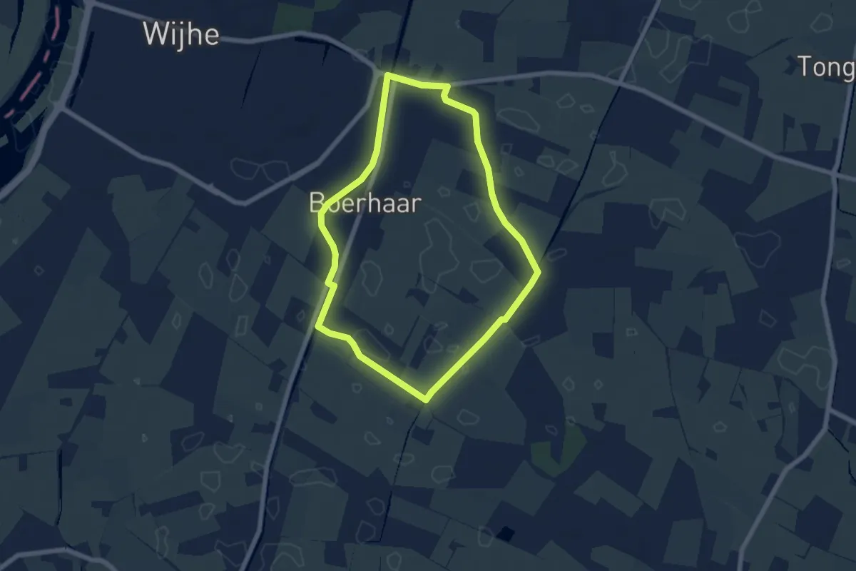
Easy · Trail
WNW Salland - Boerhaar - rode route
4.8 km · ↑ 0 m · 1 h 13 min
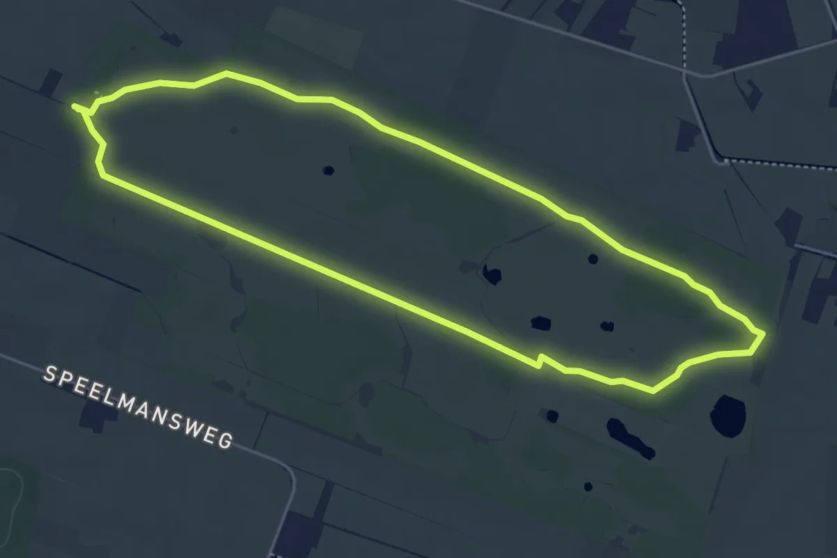
Easy · Trail
WNW Salland - Boetelerveld - gele route
4.4 km · ↑ 8 m · 1 h 7 min
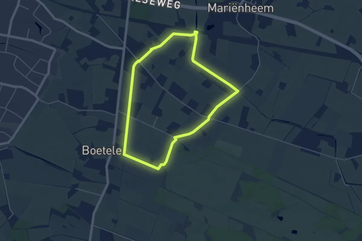
Easy · Trail
WNW Salland - Boetelerveld - groene route
3.8 km · ↑ 8 m · 59 min
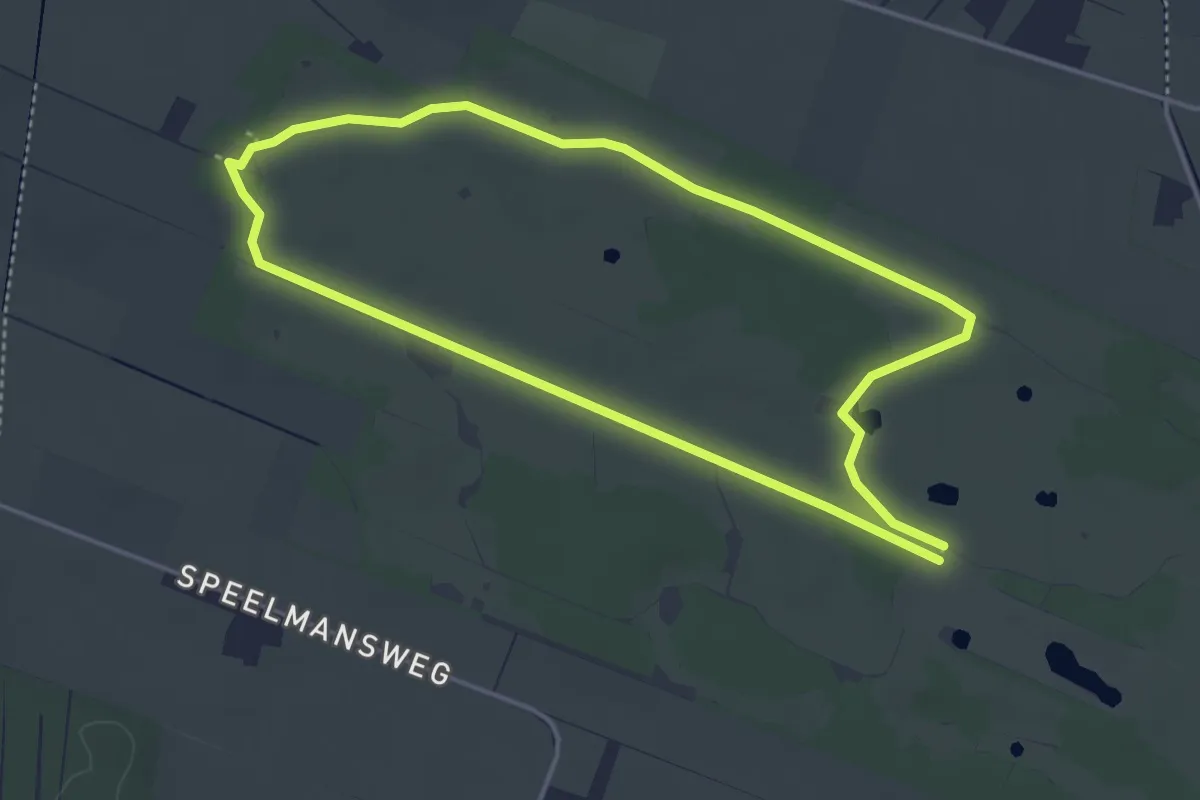
Easy · Trail
WNW Salland - Boetelerveld/Haarlerveld - rode route
3.6 km · ↑ 9 m · 55 min
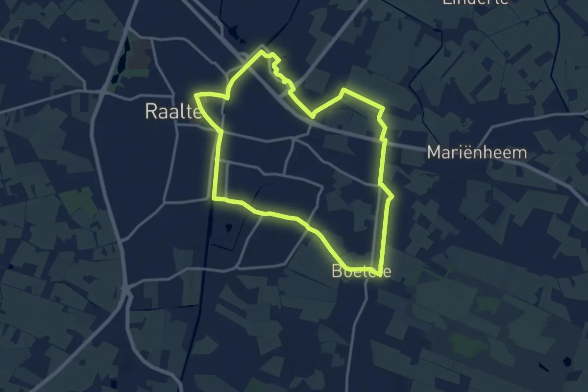
Medium · Trail
WNW Salland - Boetelerveld/Het Raan/Raalte - paarse route
8.7 km · ↑ 8 m · 2 h 12 min
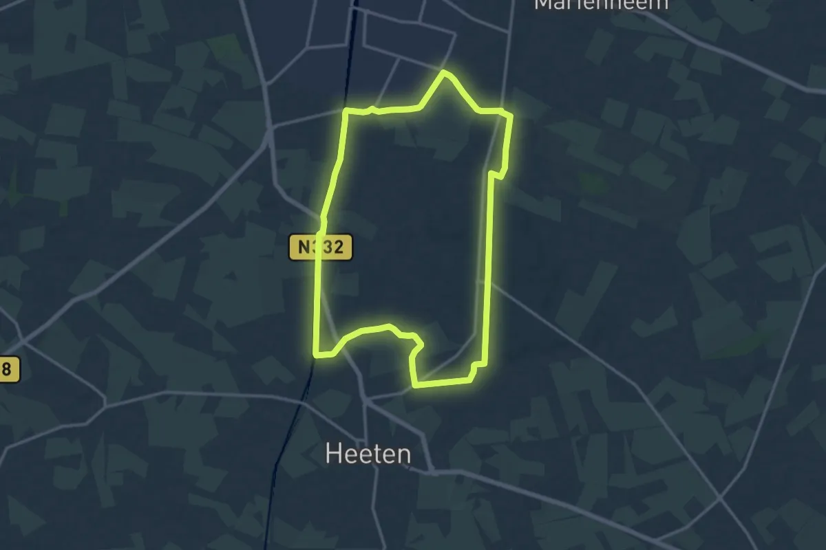
Medium · Trail
WNW Salland - Boetelerveld/Ramelerbrug - oranje route
11.6 km · ↑ 25 m · 2 h 57 min
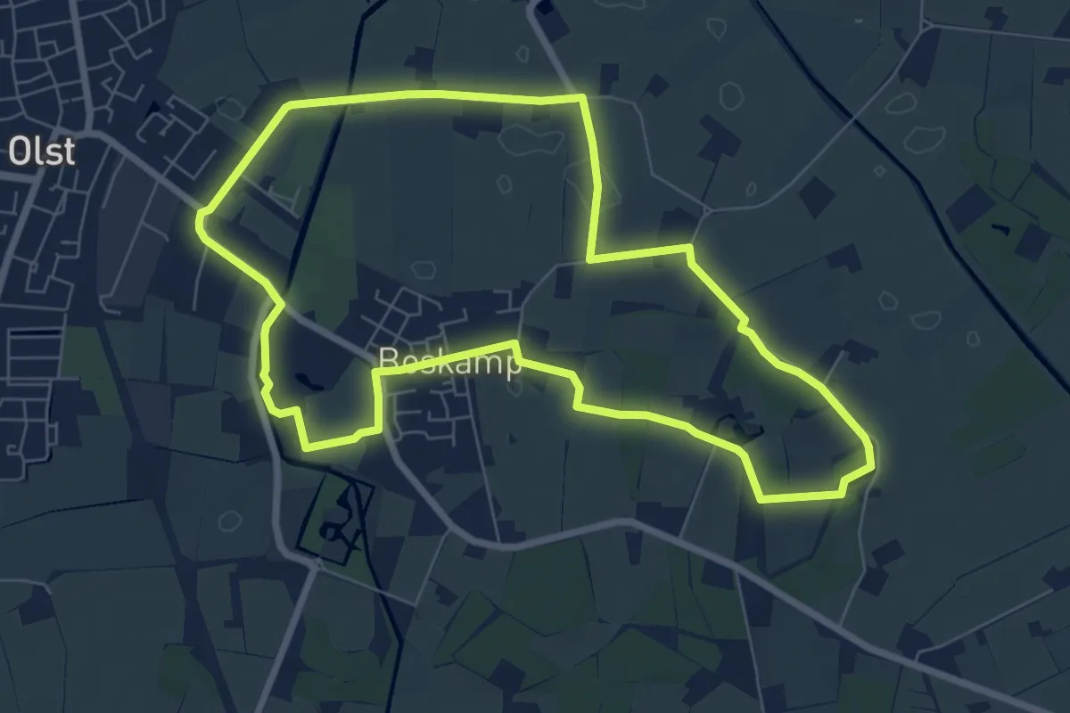
Easy · Trail
WNW Salland - Boskamp - blauwe route
6.5 km · ↑ 8 m · 1 h 39 min
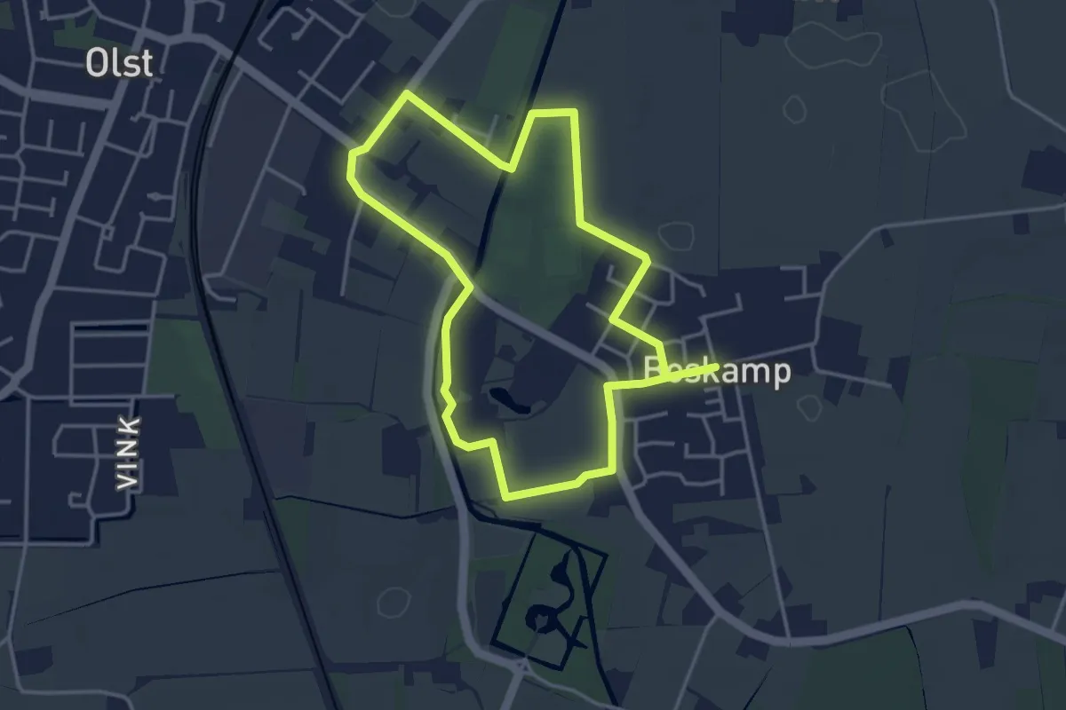
Easy · Trail
WNW Salland - Boskamp - gele route
3.2 km · ↑ 0 m · 48 min
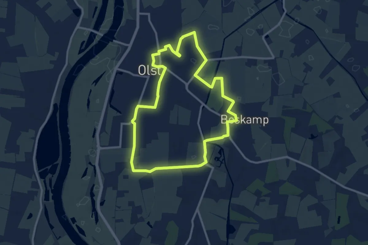
Easy · Trail
WNW Salland - Boskamp/Olst - groene route
6.9 km · ↑ 4 m · 1 h 44 min
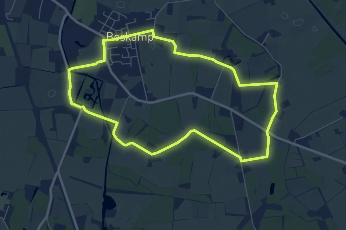
Easy · Trail
WNW Salland - Boskamp - rode route
5.5 km · ↑ 13 m · 1 h 25 min
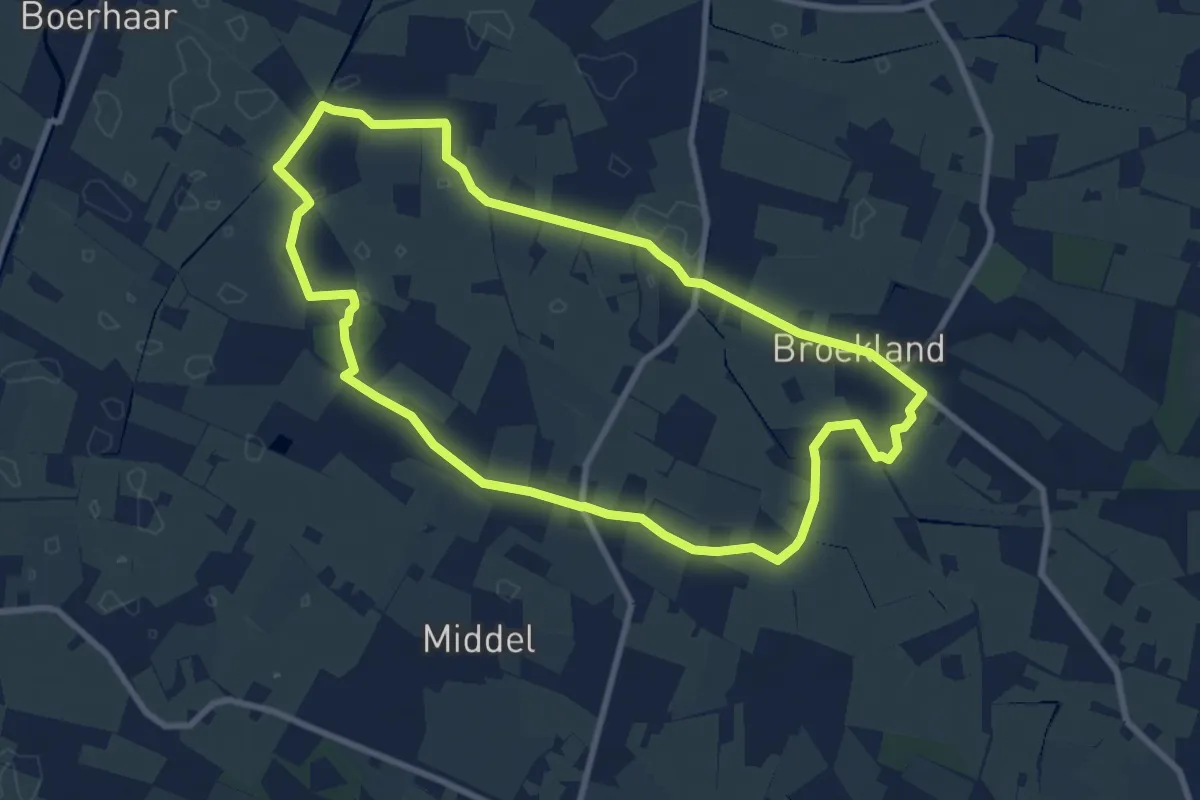
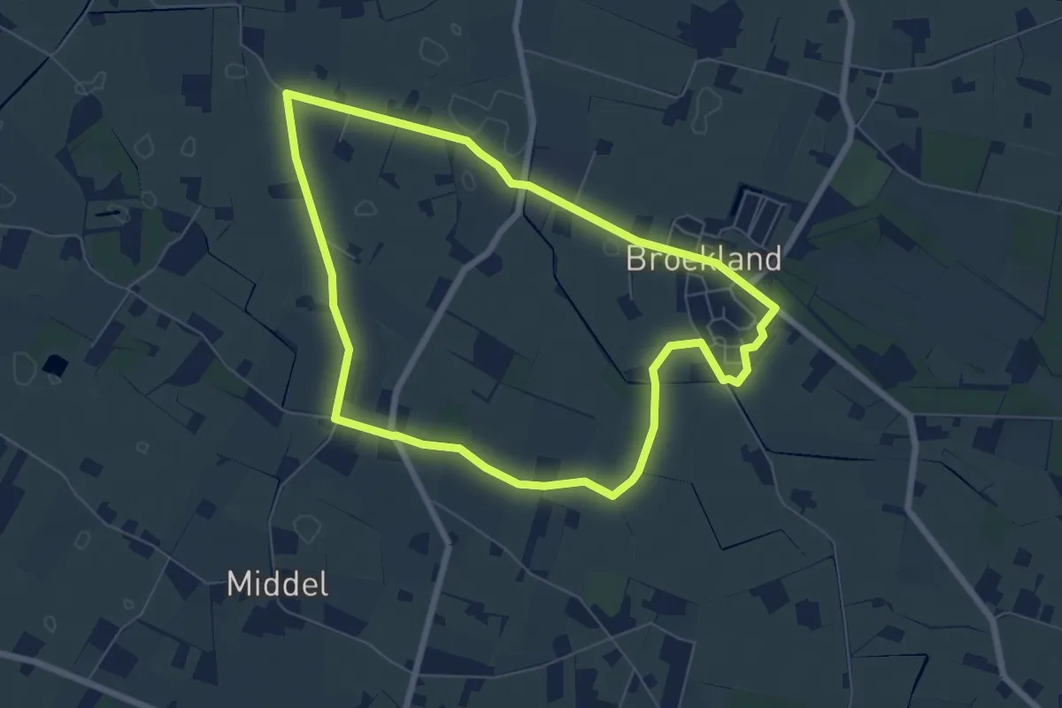
Medium · Trail
WNW Salland - Broekland - gele route
8.1 km · ↑ 4 m · 2 h 1 min
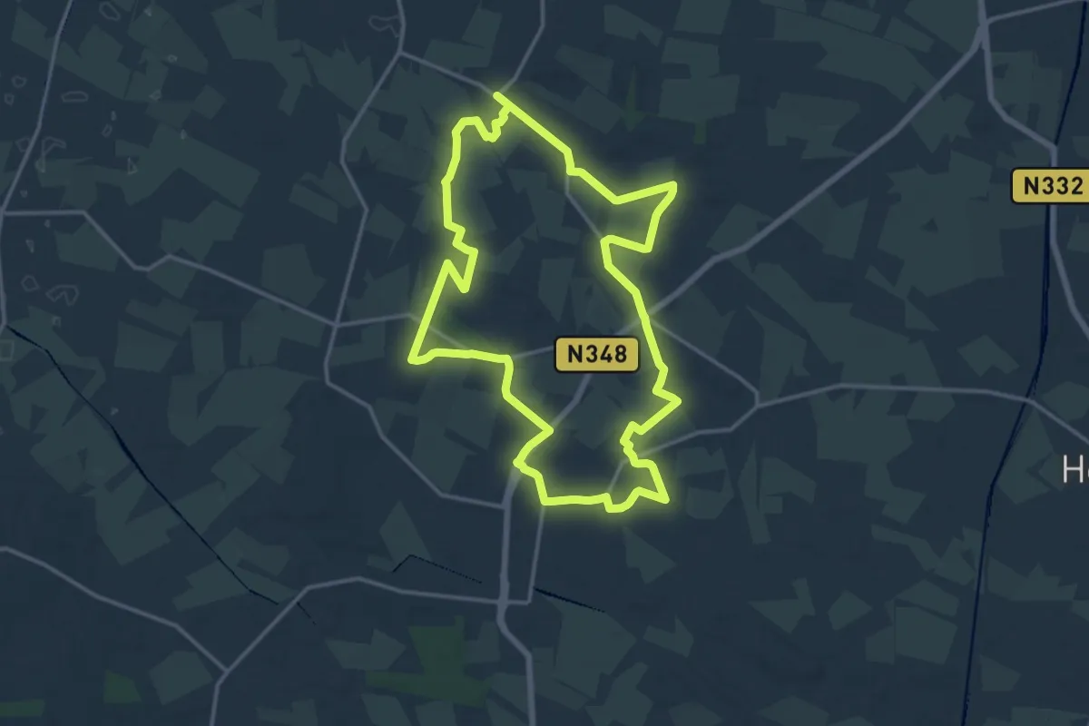
Easy · Trail
WNW Salland - Broekland - groene route
5.8 km · ↑ 4 m · 1 h 28 min
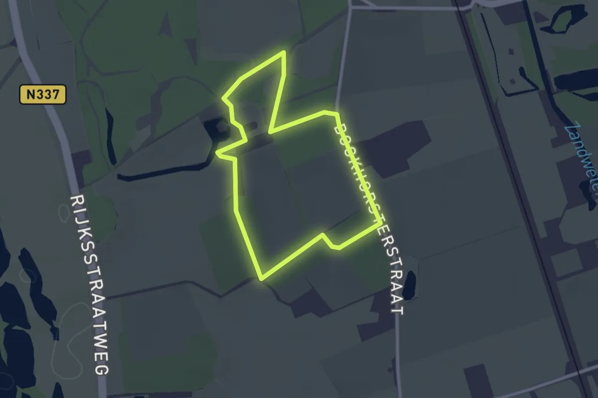
Medium · Trail
WNW Salland - Broekland/Wesepe - oranje route
13.5 km · ↑ 4 m · 3 h 23 min
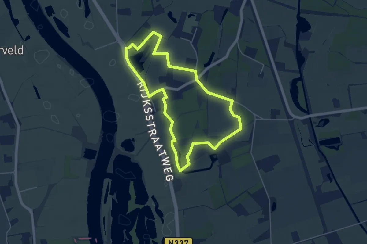
Easy · Trail
WNW Salland - De Haere - blauwe route
1.9 km · ↑ 4 m · 29 min
Easy · Trail
WNW Salland - De Haere - groene route
3.9 km · ↑ 9 m · 1 h
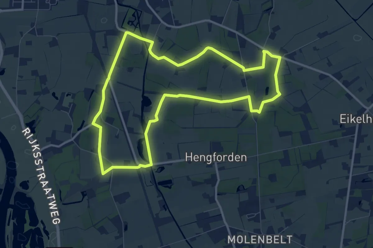
Medium · Trail
WNW Salland - De Haere/Nijendal - paarse route
8.1 km · ↑ 22 m · 2 h 4 min
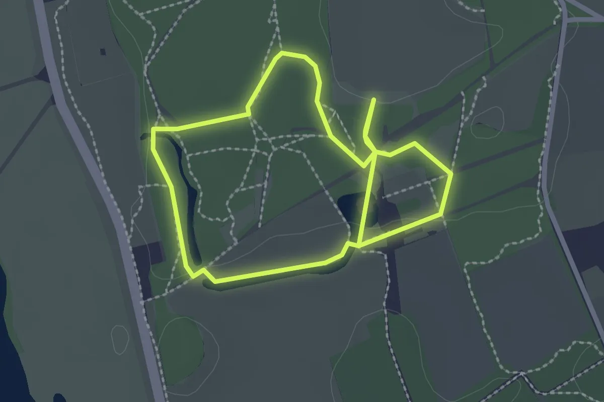
Easy · Trail
WNW Salland - De Haere - rode route
1.9 km · ↑ 9 m · 29 min
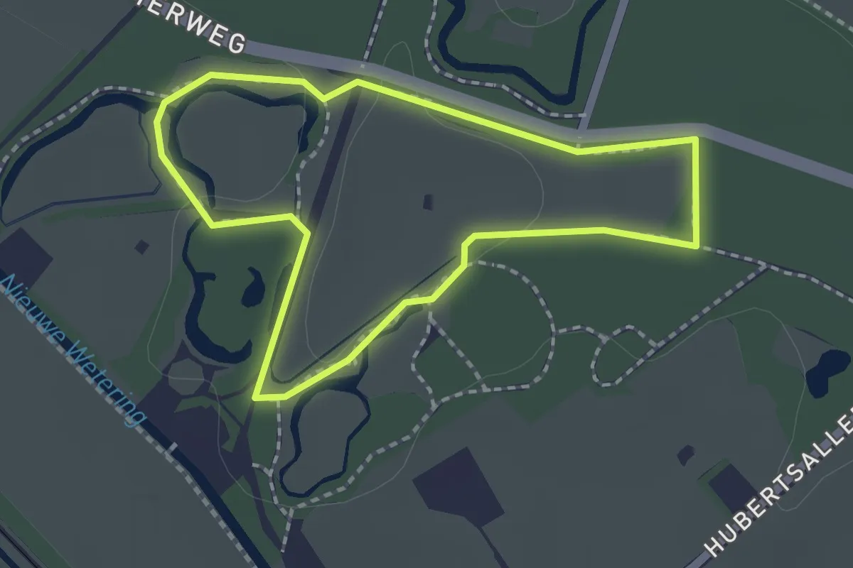
Easy · Trail
WNW Salland - Den Alerdinck/De Colckhof - blauwe route
1.5 km · ↑ 4 m · 24 min
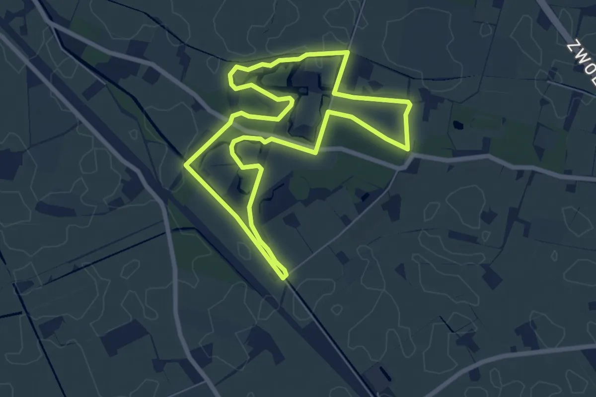
Easy · Trail
WNW Salland - Den Alerdinck/De Colckhof - groene route
5.1 km · ↑ 18 m · 1 h 19 min
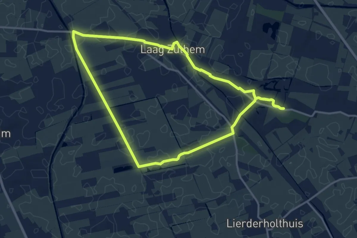
Medium · Trail
WNW Salland - Den Alerdinck/De Colckhof/Laag Zuthem - oranje route
8.6 km · ↑ 8 m · 2 h 9 min
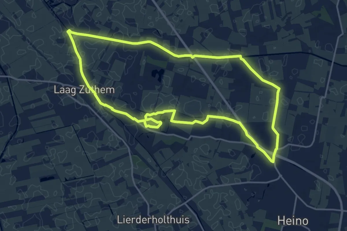
Medium · Trail
WNW Salland - Den Alerdinck/De Colckhof/Laag Zuthem - rode route
12.8 km · ↑ 22 m · 3 h 14 min
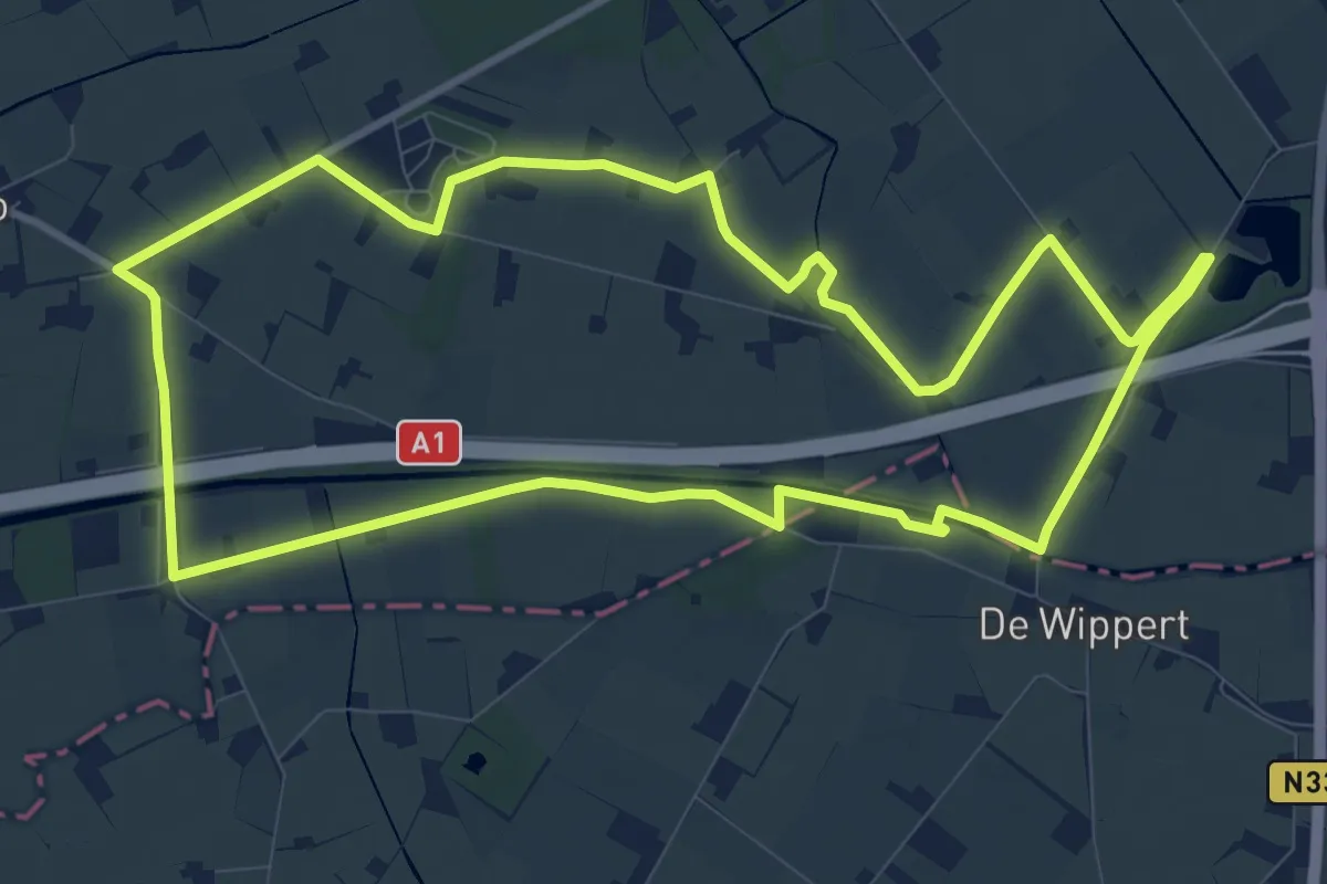
Medium · Trail
WNW Salland - De Pothaar - blauwe route
9.6 km · ↑ 0 m · 2 h 24 min
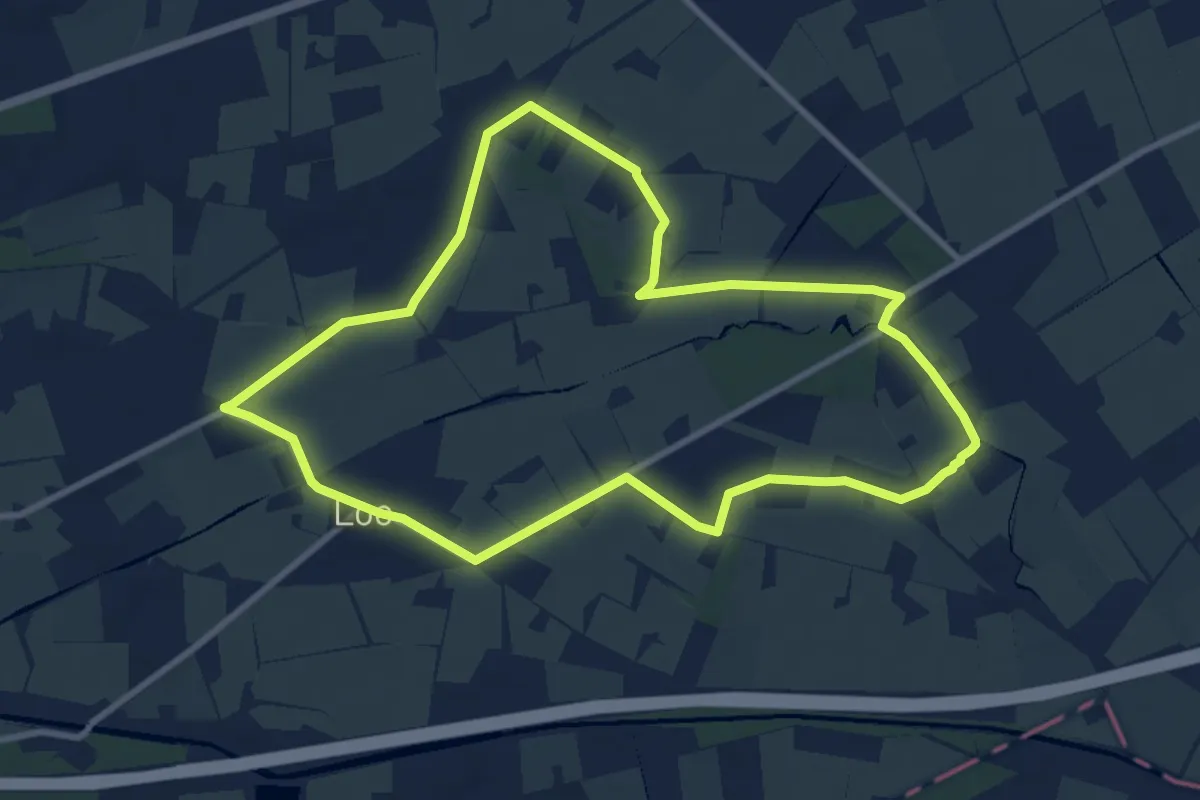
Medium · Trail
WNW Salland - De Pothaar - groene route
8.2 km · ↑ 0 m · 2 h 3 min
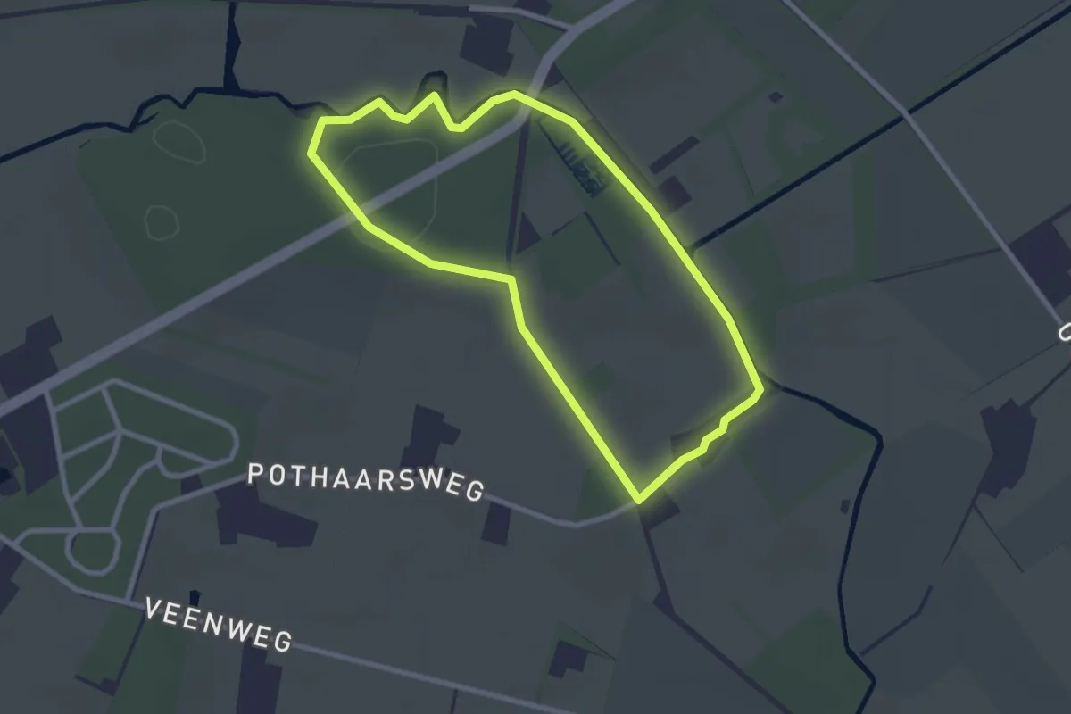
Easy · Trail
WNW Salland - De Pothaar - rode route
2.2 km · ↑ 5 m · 33 min
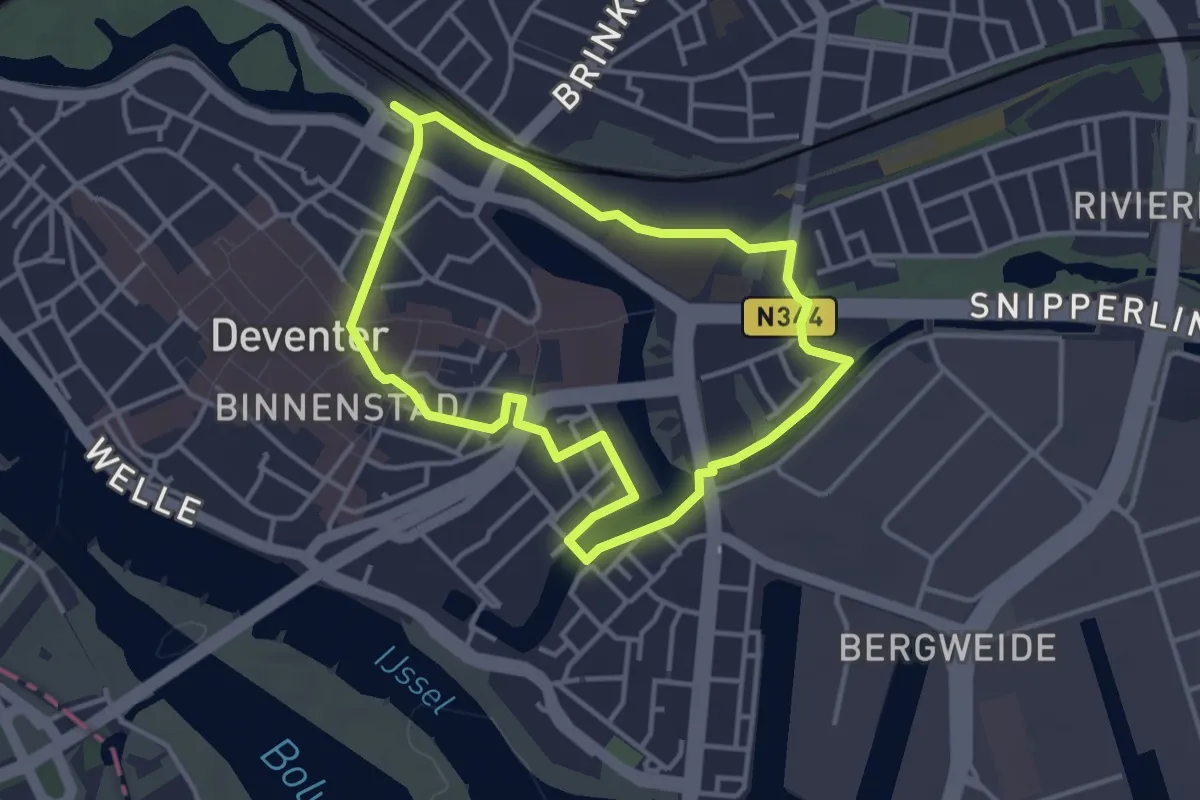
Easy · Trail
WNW Salland - Deventer - blauwe route
3.0 km · ↑ 4 m · 46 min
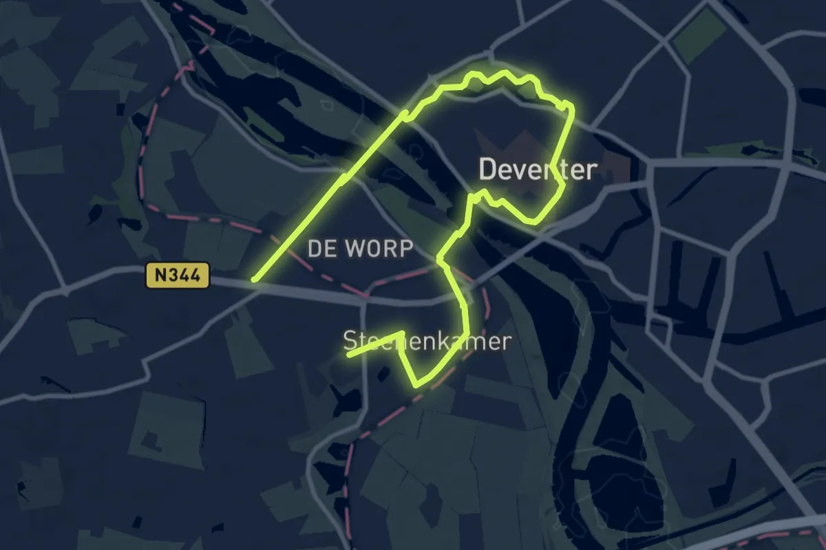
Easy · Trail
WNW Salland - Deventer/De Worp - gele route
6.2 km · ↑ 13 m · 1 h 35 min
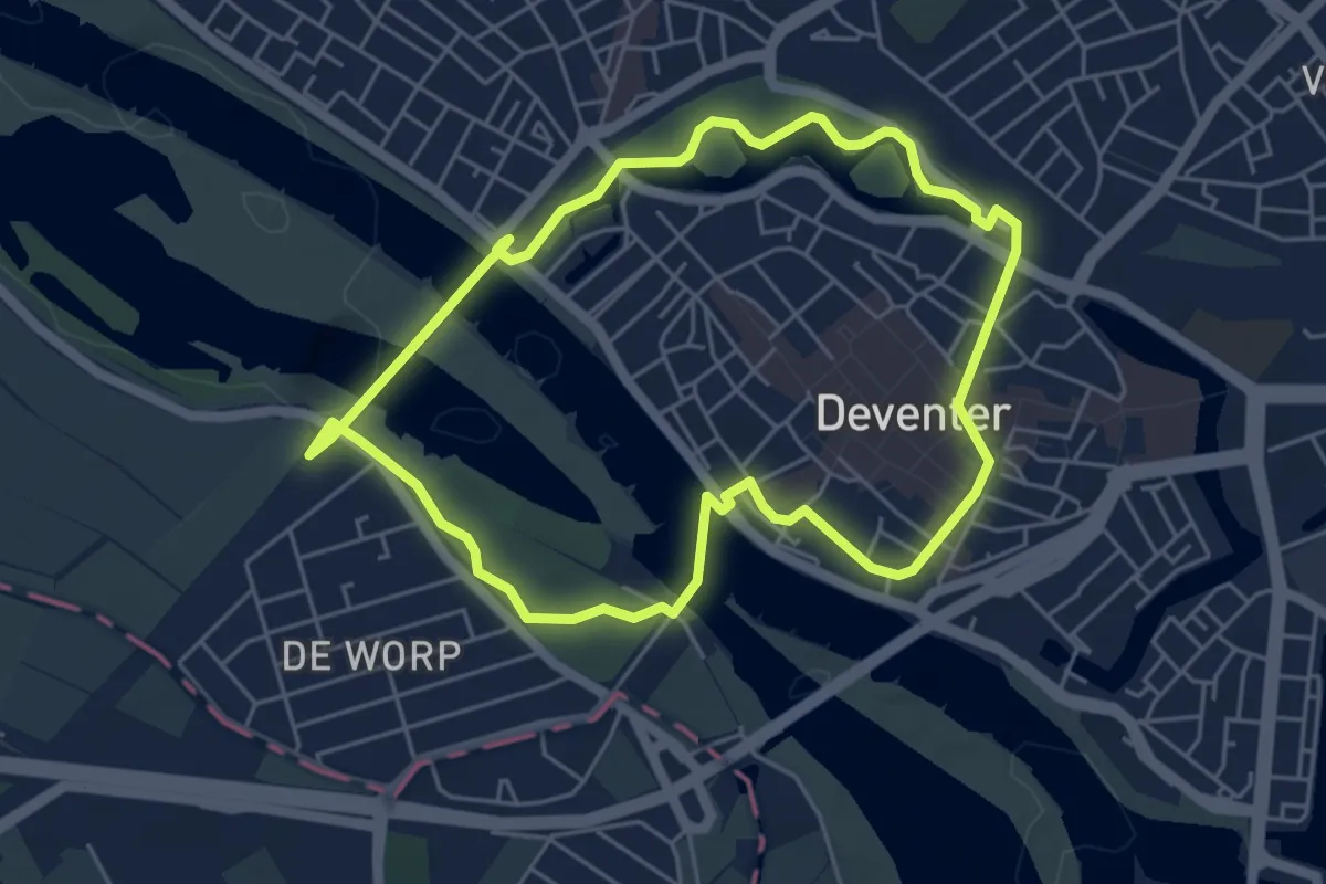
Easy · Trail
WNW Salland - Deventer/De Worp - oranje route
4.4 km · ↑ 22 m · 1 h 9 min
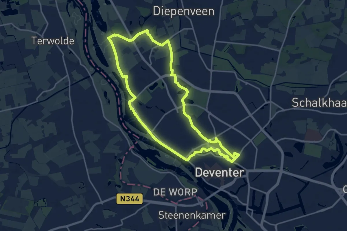
Medium · Trail
WNW Salland - Deventer/Nieuw Rande - paarse route
11.5 km · ↑ 13 m · 2 h 54 min
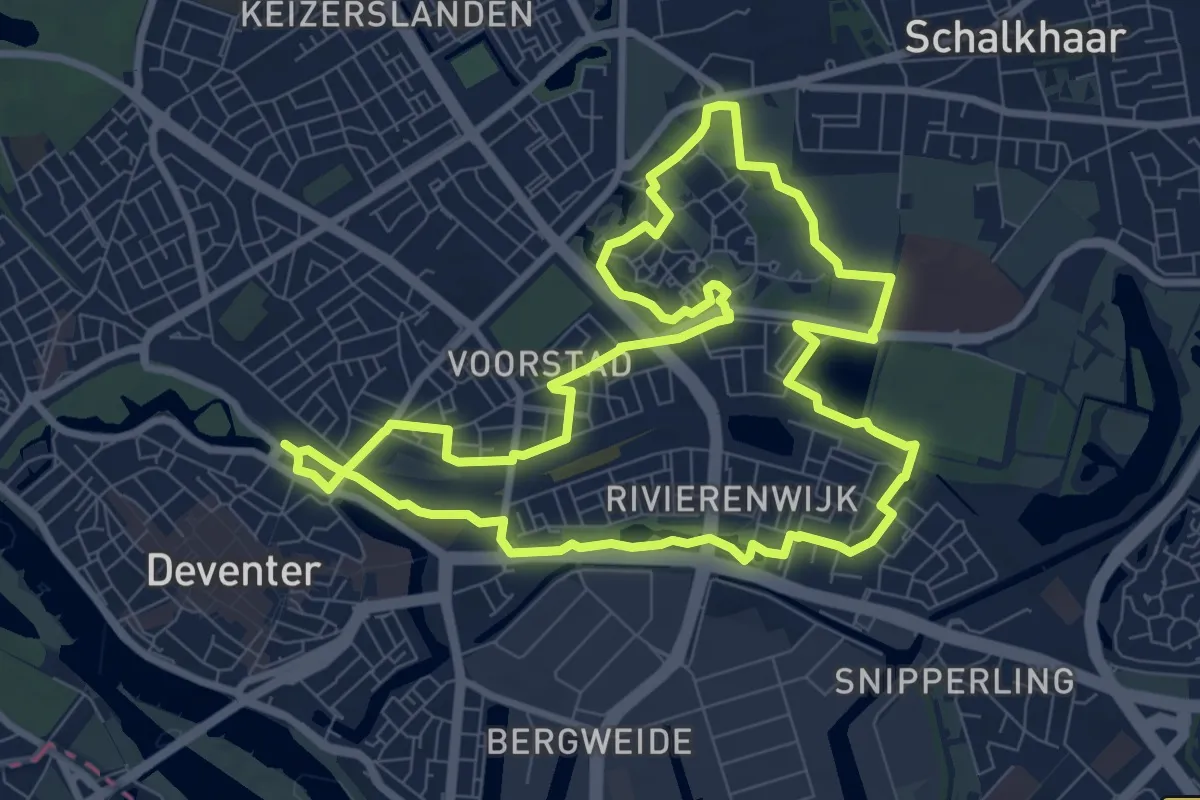
Medium · Trail
WNW Salland - Deventer/Rielerenk - groene route
8.1 km · ↑ 4 m · 2 h 2 min
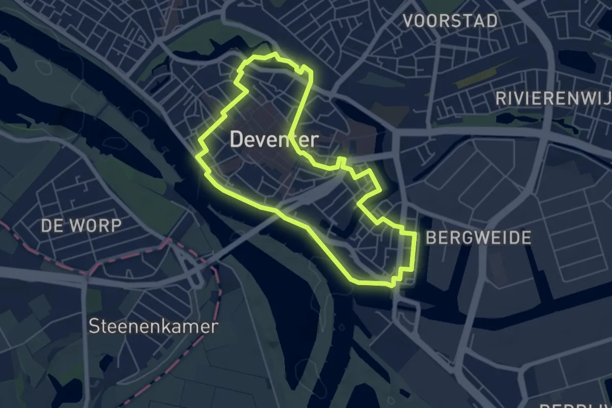
Easy · Trail
WNW Salland - Deventer - rode route
4.6 km · ↑ 9 m · 1 h 11 min
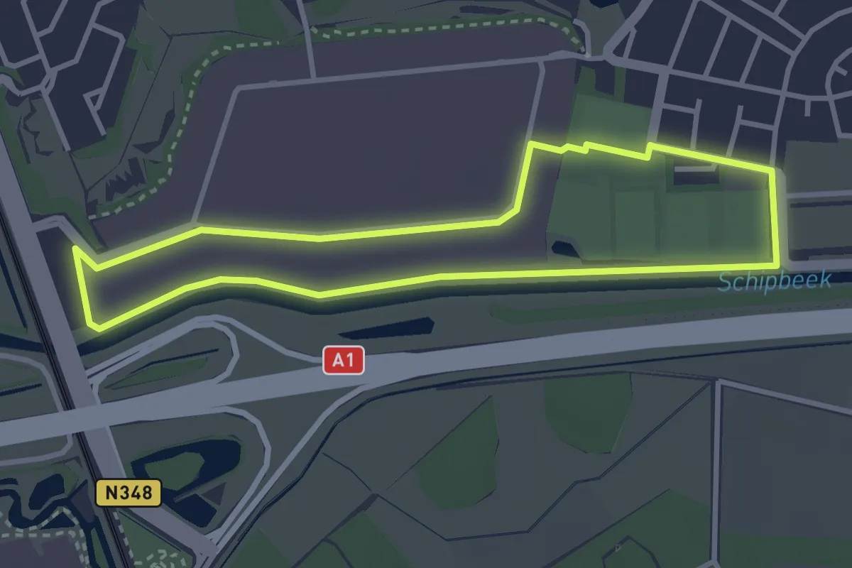
Easy · Trail
WNW Salland - De Weteringen/Maagdenburgstraat - gele route
2.7 km · ↑ 0 m · 40 min