Trails in Netherlands
5,039 hiking trails, each with its route, climb, walking time and grade.
All trails, page 96 of 105
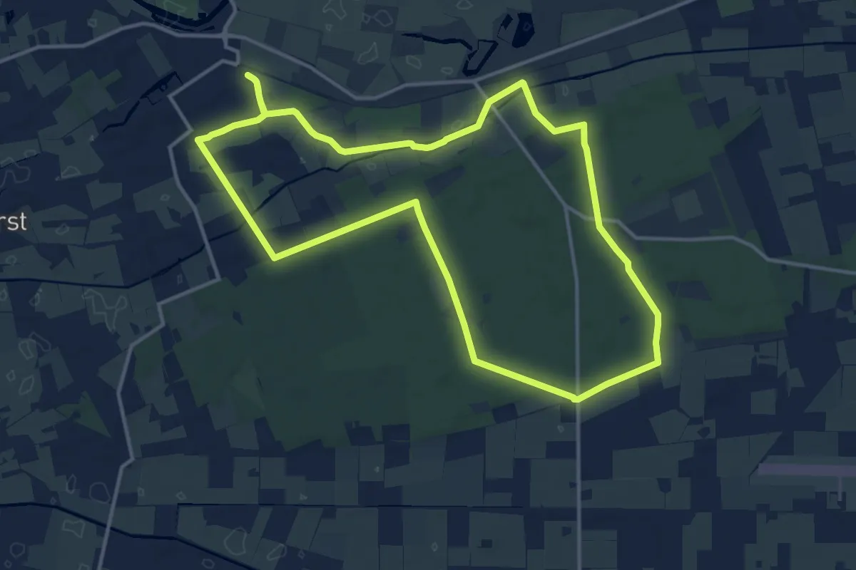
Medium · Trail
WNW Vechtdal - Station Dalfsen - blauwe route
12.0 km · ↑ 36 m · 3 h 5 min
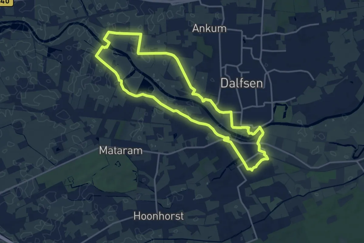
Medium · Trail
WNW Vechtdal - Station Dalfsen - gele route
11.4 km · ↑ 8 m · 2 h 52 min
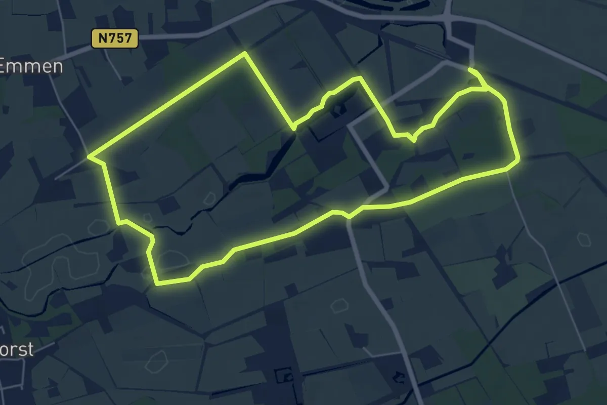
Easy · Trail
WNW Vechtdal - Station Dalfsen - groene route
5.7 km · ↑ 13 m · 1 h 27 min
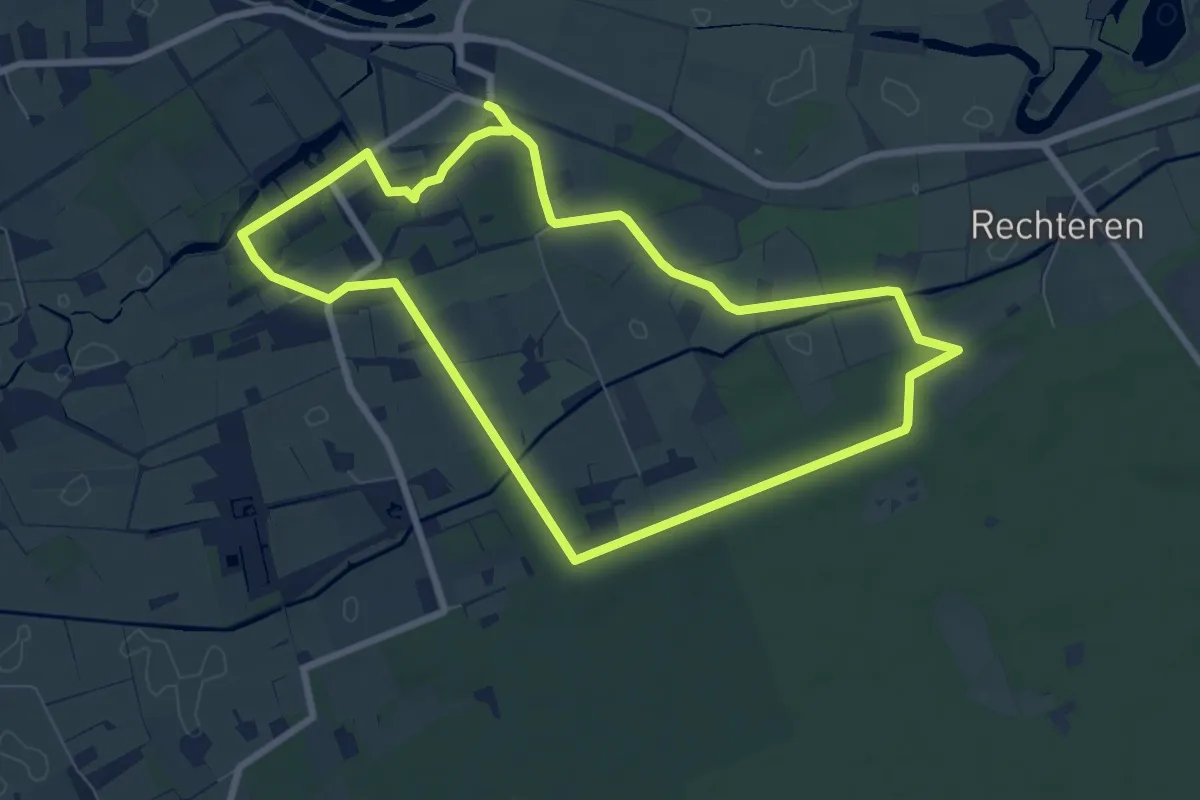
Easy · Trail
WNW Vechtdal - Station Dalfsen - oranje route
6.9 km · ↑ 25 m · 1 h 46 min
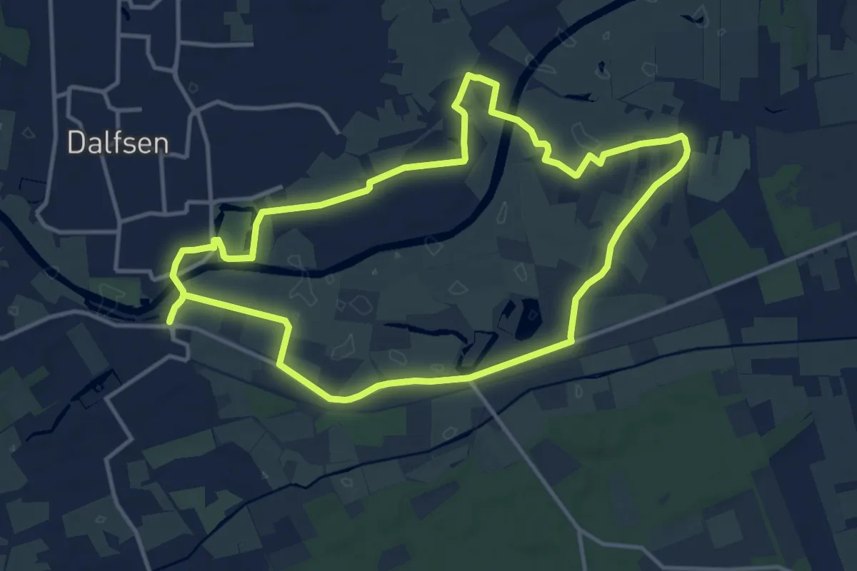
Medium · Trail
WNW Vechtdal - Station Dalfsen - paarse route
10.4 km · ↑ 21 m · 2 h 39 min
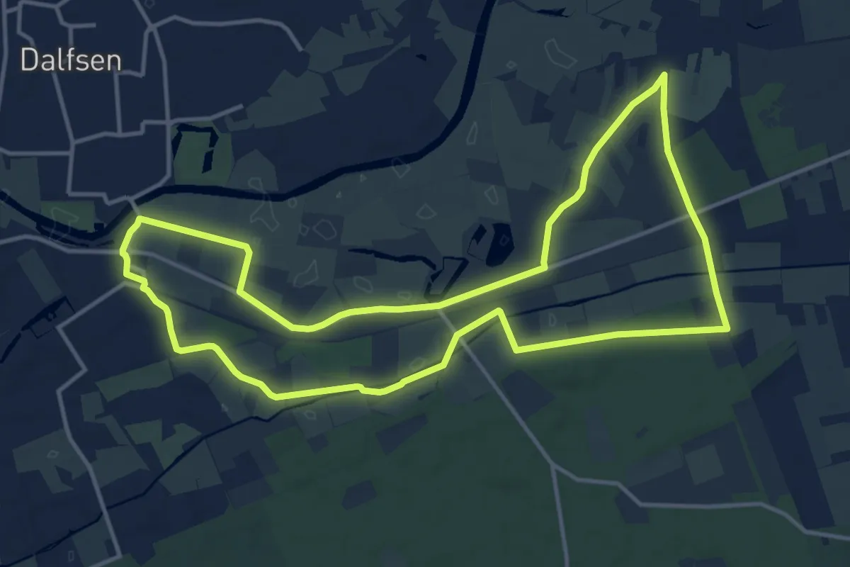
Medium · Trail
WNW Vechtdal - Station Dalfsen - rode route
11.6 km · ↑ 26 m · 2 h 58 min
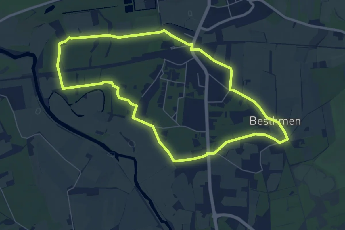
Easy · Trail
WNW Vechtdal - Station Ommen - blauwe route
5.6 km · ↑ 8 m · 1 h 25 min
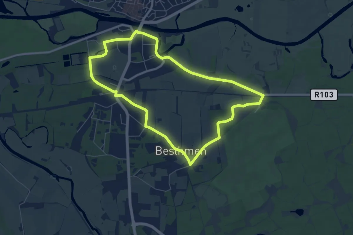
Easy · Trail
WNW Vechtdal -Station Ommmen - groene route
5.8 km · ↑ 18 m · 1 h 29 min
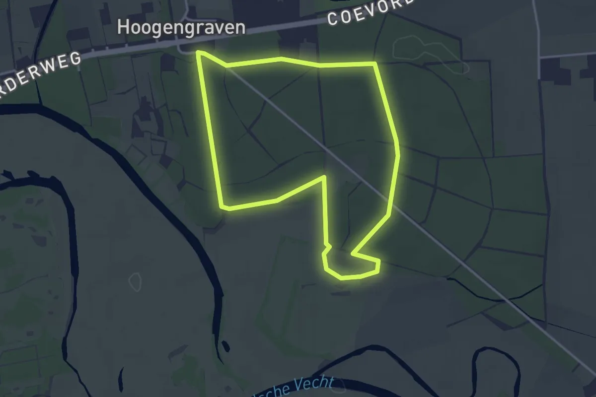
Easy · Trail
WNW Vechtdal - Stegeren -blauwe route
3.0 km · ↑ 8 m · 46 min
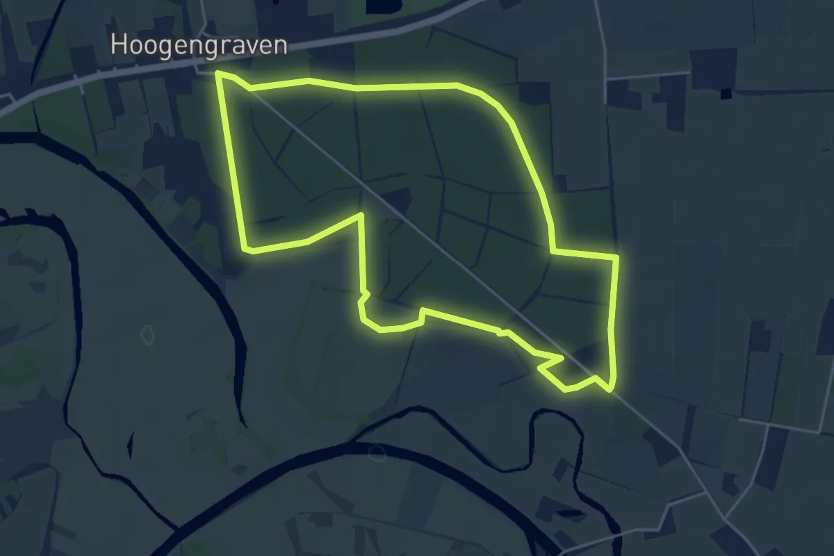
Easy · Trail
WNW Vechtdal - Stegeren -gele route
4.3 km · ↑ 8 m · 1 h 6 min
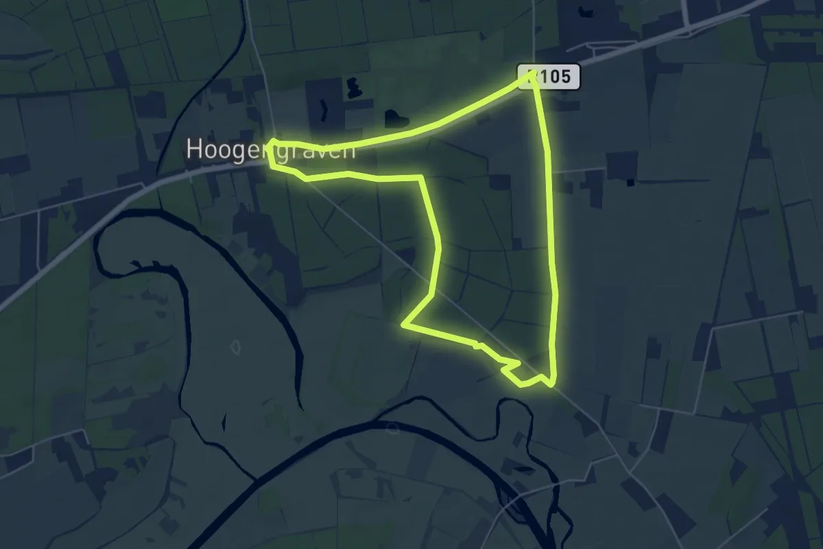
Easy · Trail
WNW Vechtdal -Stegeren - groene route
5.2 km · ↑ 12 m · 1 h 19 min
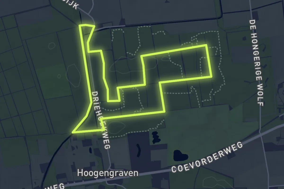
Easy · Trail
WNW Vechtdal - Stegeren - oranje route
4.6 km · ↑ 5 m · 1 h 10 min
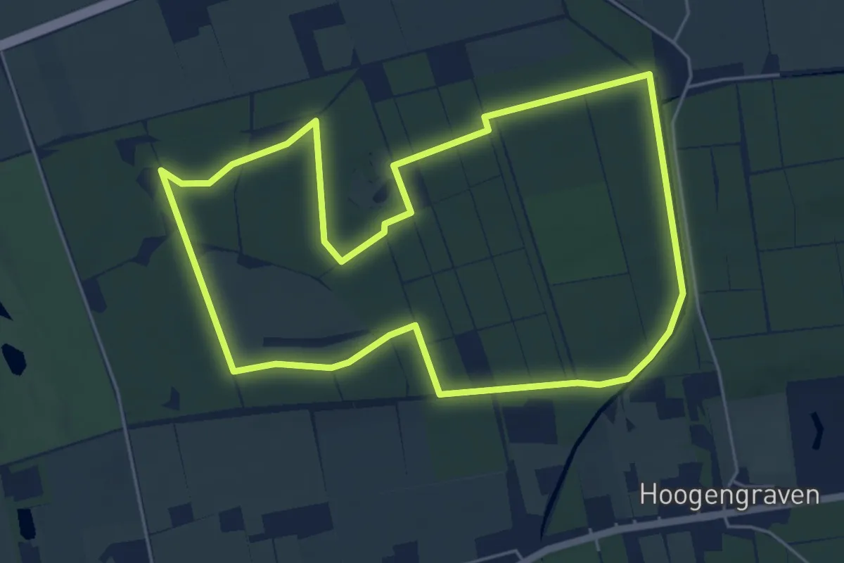
Easy · Trail
WNW Vechtdal - Stegeren -rode route
4.8 km · ↑ 8 m · 1 h 13 min
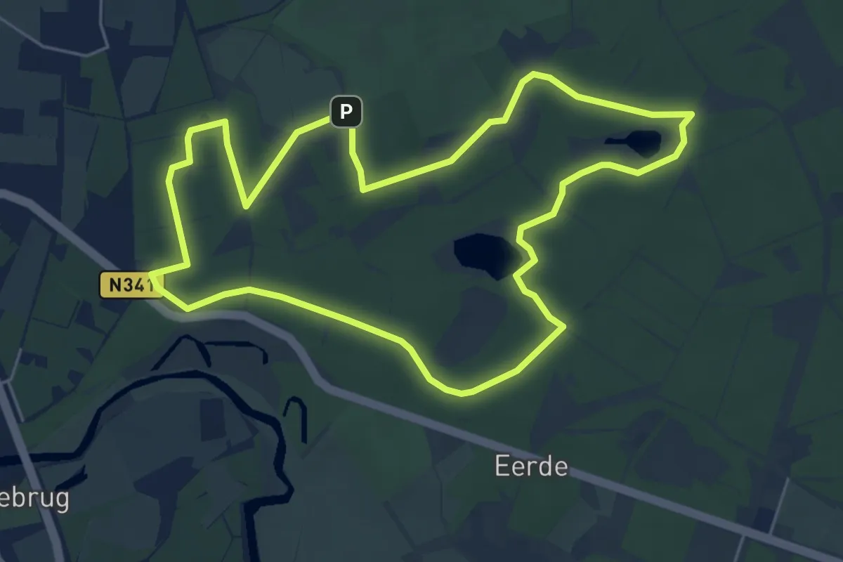
Easy · Summit
WNW Vechtdal - Steile Oever - blauwe route
4.9 km · ↑ 14 m · 1 h 16 min
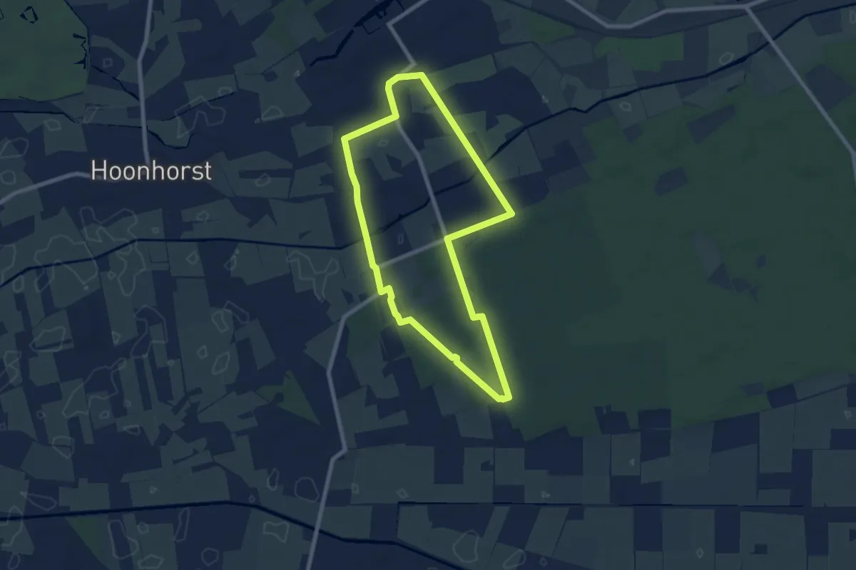
Easy · Trail
WNW Vechtdal - Sterrenbosch - gele route
6.1 km · ↑ 17 m · 1 h 34 min
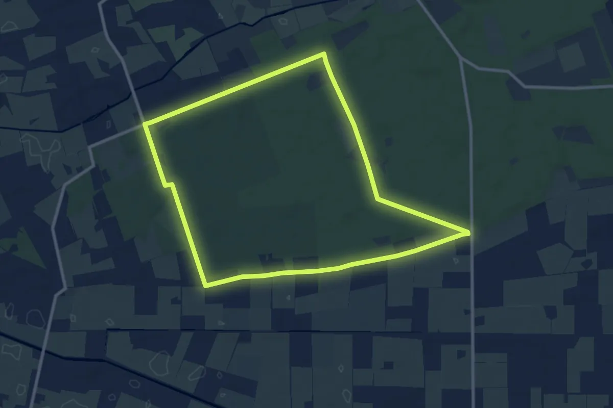
Easy · Trail
WNW Vechtdal - Sterrenbosch - groene route
8.0 km · ↑ 17 m · 2 h 2 min
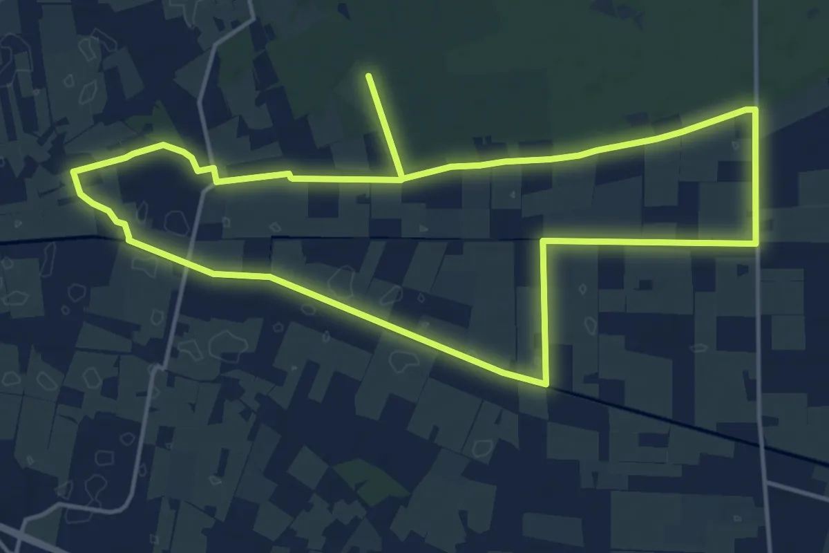
Medium · Trail
WNW Vechtdal - Sterrenbosch - paarse route
13.2 km · ↑ 13 m · 3 h 20 min
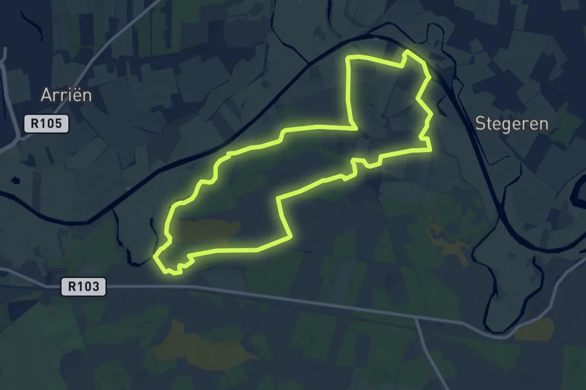
Medium · Trail
WNW Vechtdal -Stuw Junne - paarse route
8.8 km · ↑ 17 m · 2 h 15 min
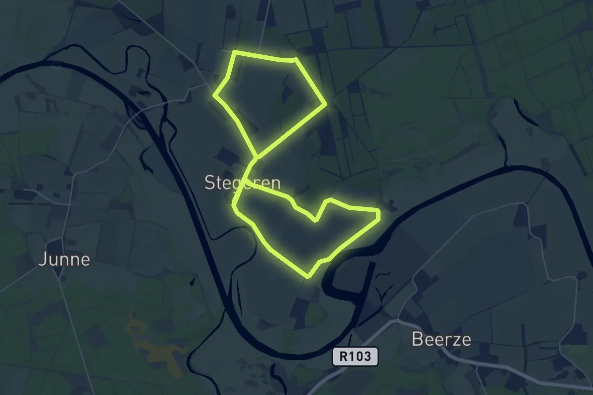
Easy · Trail
WNW Vechtdal - Stuw Junne -rode route
5.5 km · ↑ 9 m · 1 h 23 min
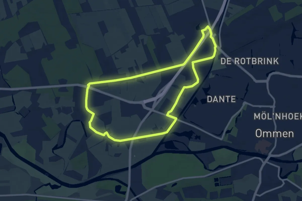
Easy · Trail
WNW Vechtdal - Varsenerveld - blauwe route
7.1 km · ↑ 9 m · 1 h 48 min
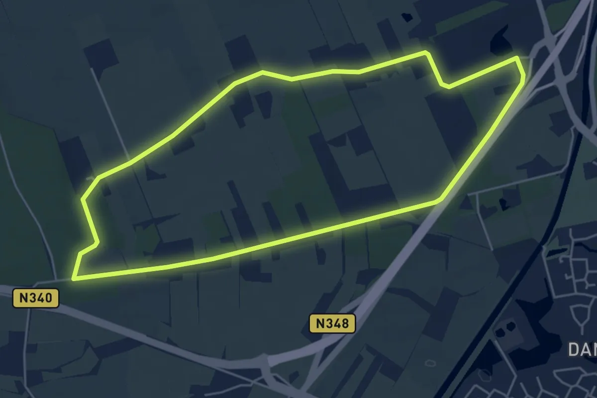
Easy · Trail
WNW Vechtdal -Varsenerveld - groene route
4.5 km · ↑ 9 m · 1 h 8 min
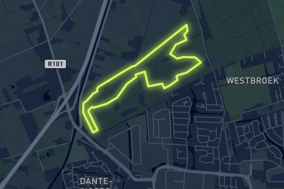
Easy · Trail
WNW Vechtdal - Varsenerveld -rode route
4.5 km · ↑ 4 m · 1 h 8 min
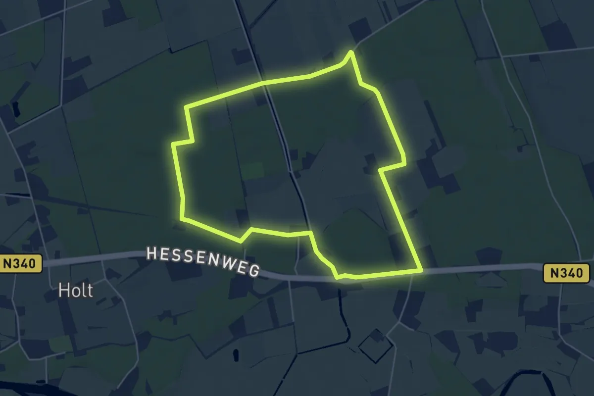
Easy · Trail
WNW Vechtdal - Varssen - gele route
4.8 km · ↑ 13 m · 1 h 13 min
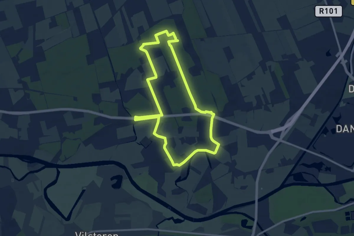
Easy · Trail
WNW Vechtdal - Varssen - oranje route
7.1 km · ↑ 18 m · 1 h 48 min
Easy · Trail
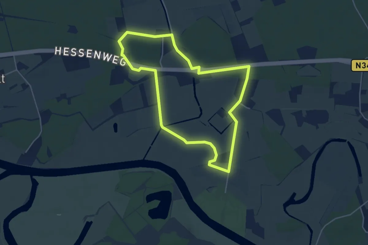
WNW Vechtdal - Varssen - paarse route
3.6 km · ↑ 4 m · 55 min
Medium · Trail
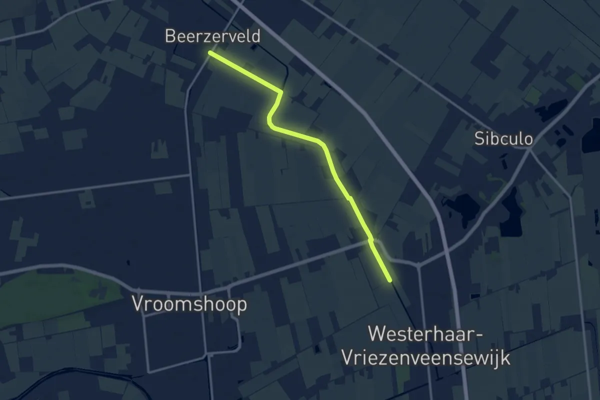
WNW Vechtdal -verbindiingsroute C46-L11
9.3 km · ↑ 0 m · 2 h 12 min
Easy · Trail
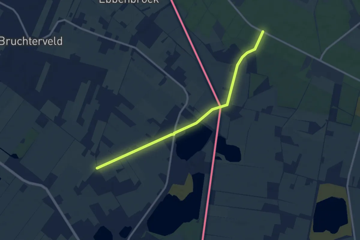
WNW Vechtdal -verbindiingsroute J25-K65
7.2 km · ↑ 21 m · 1 h 45 min
Easy · Trail
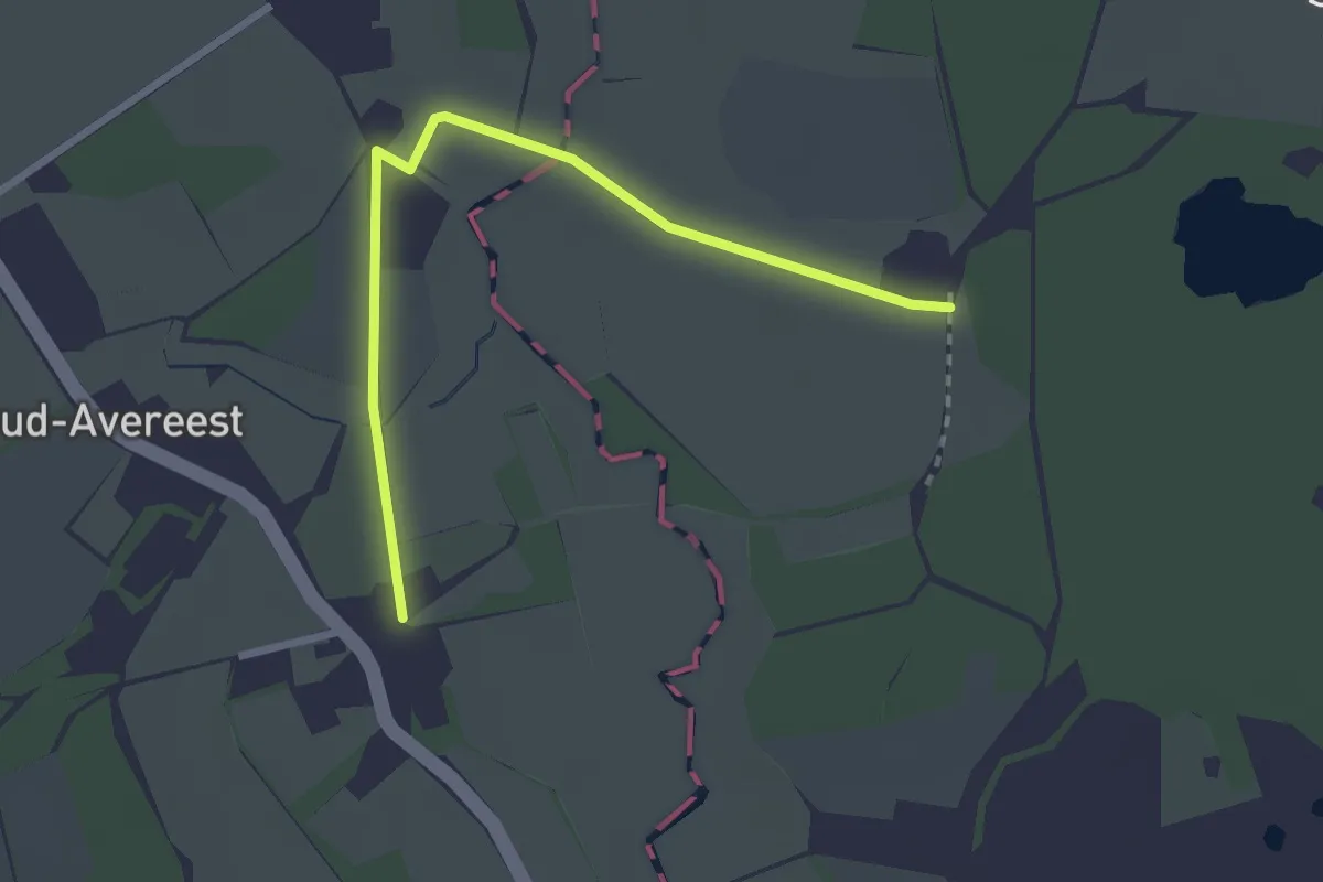
WNW Vechtdal - verbinding A31-A40
2.4 km · ↑ 0 m · 34 min
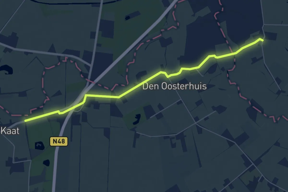
Easy · Trail
WNW Vechtdal - verbinding A35-B15
5.6 km · ↑ 0 m · 1 h 20 min
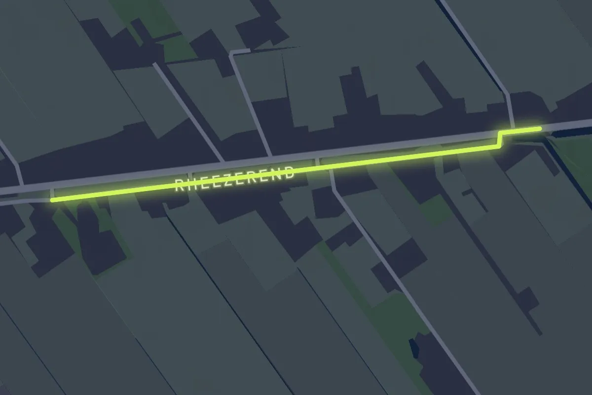
Easy · Trail
WNW Vechtdal - verbinding B16-D84
2.1 km · ↑ 0 m · 30 min
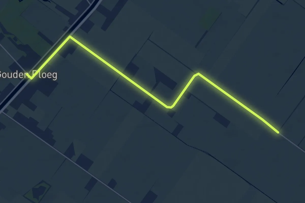
Easy · Trail
WNW Vechtdal - verbinding H25-J17
2.8 km · ↑ 0 m · 43 min
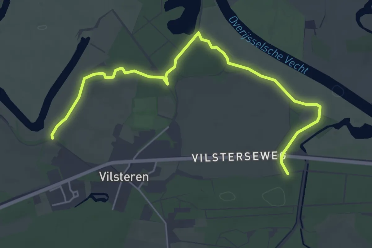
Easy · Trail
WNW Vechtdal - verbinding R11-R16
5.0 km · ↑ 22 m · 1 h 14 min
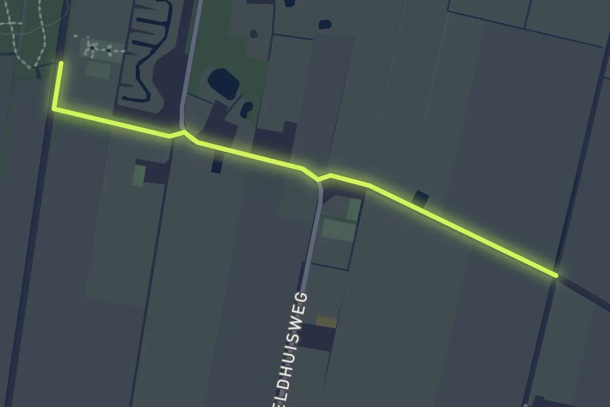
Easy · Trail
WNW Vechtdal verbindingsroute A51-Y41
2.2 km · ↑ 4 m · 31 min
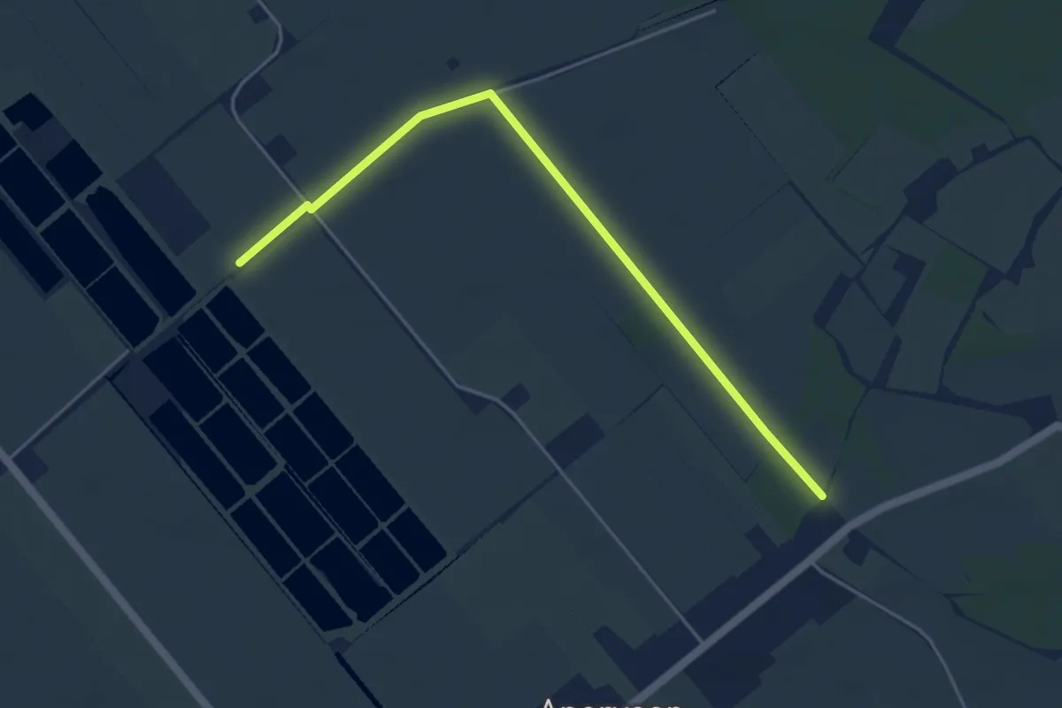
Easy · Trail
WNW Vechtdal verbindingsroute D14-D23
4.2 km · ↑ 4 m · 1 h
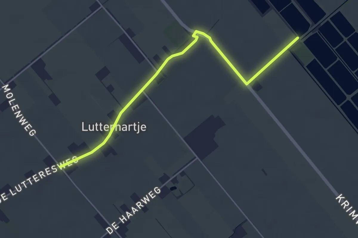
Easy · Trail
WNW Vechtdal verbindingsroute D24-D33
4.1 km · ↑ 4 m · 59 min
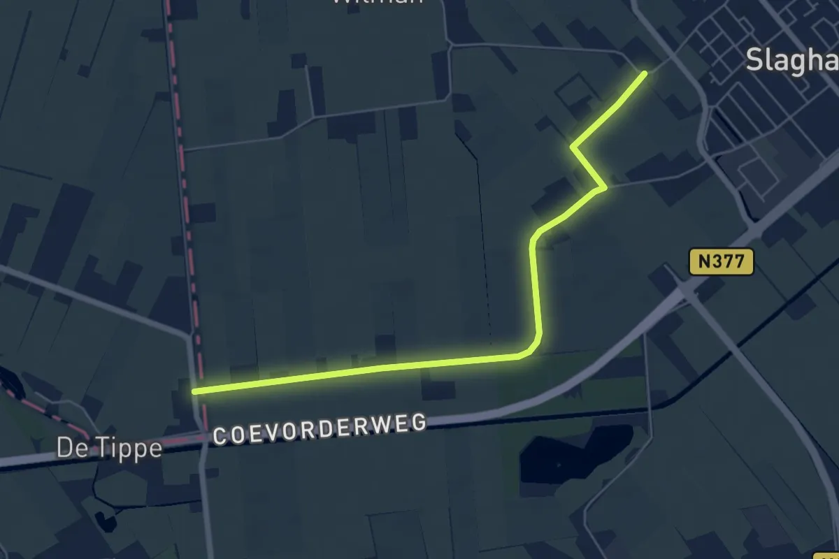
Easy · Trail
WNW Vechtdal verbindingsroute D56-20
5.6 km · ↑ 4 m · 1 h 19 min
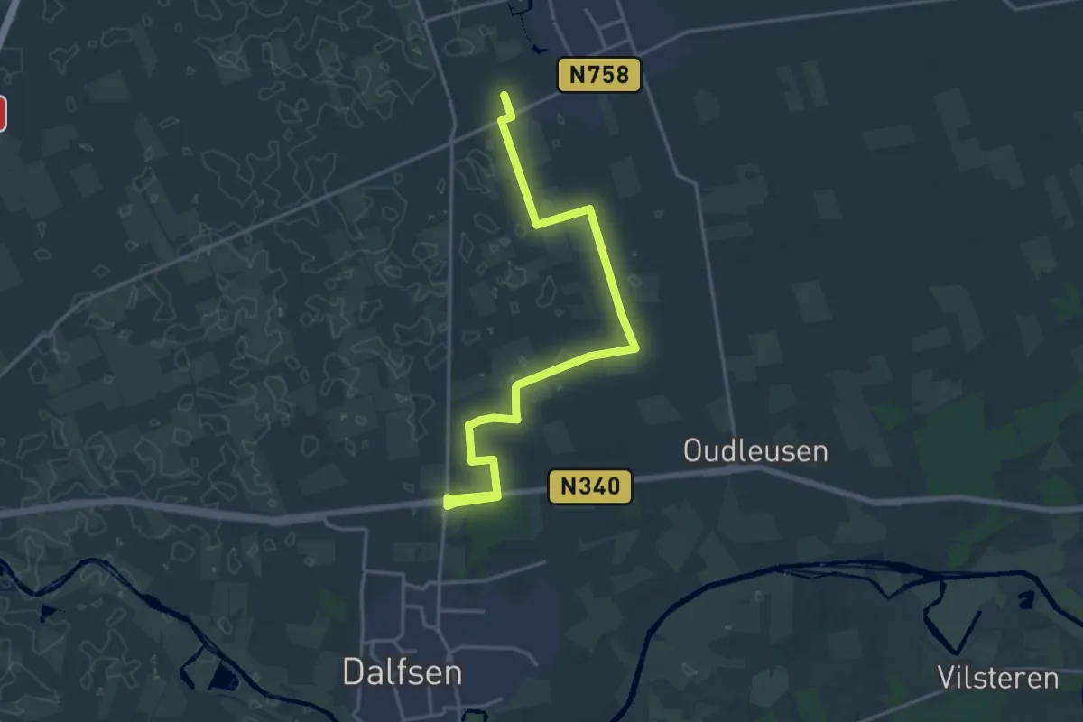
Medium · Trail
WNW Vechtdal - verbinding V17-V52
16.9 km · ↑ 13 m · 4 h 1 min
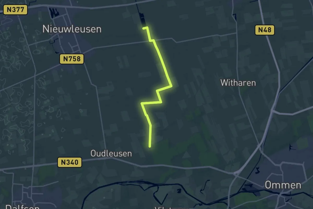
Medium · Trail
WNW Vechtdal - verbinding V20-V21-V23-V32
14.3 km · ↑ 0 m · 3 h 23 min
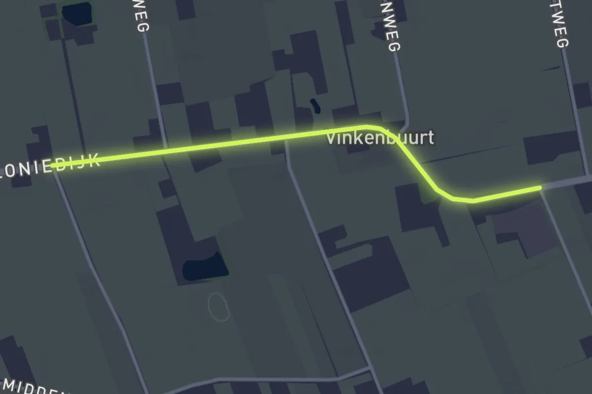
Easy · Trail
WNW Vechtdal - verbinding V21-V22
2.6 km · ↑ 0 m · 37 min
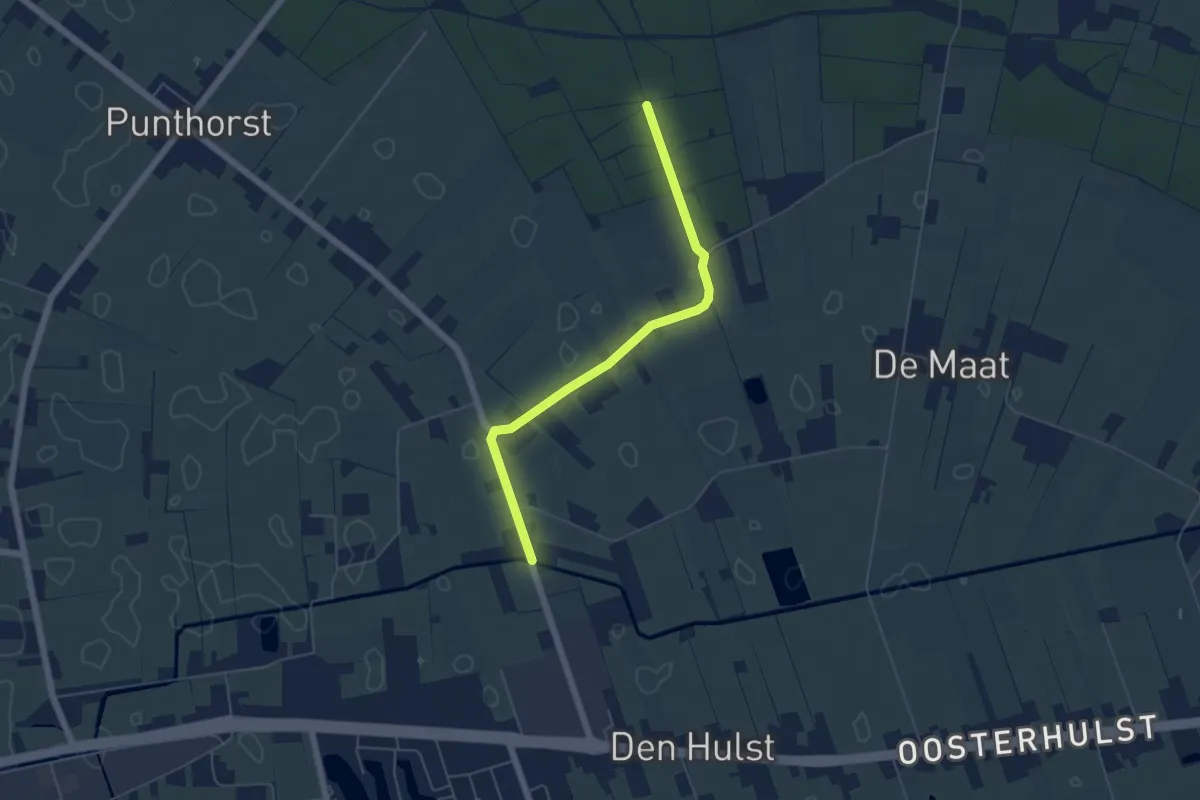
Easy · Trail
WNW Vechtdal - verbinding Y71-Z53
4.6 km · ↑ 8 m · 1 h 7 min
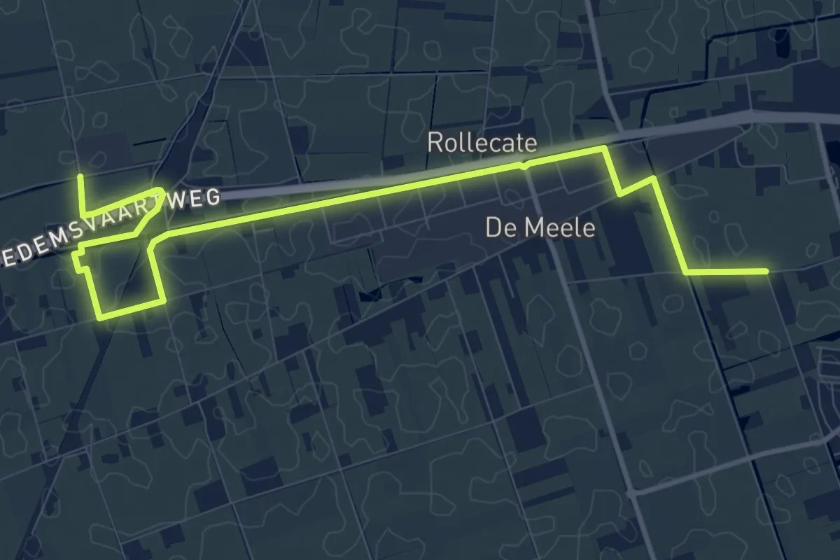
Medium · Trail
WNW Vechtdal - verbinding Z40-Z54
11.1 km · ↑ 0 m · 2 h 38 min
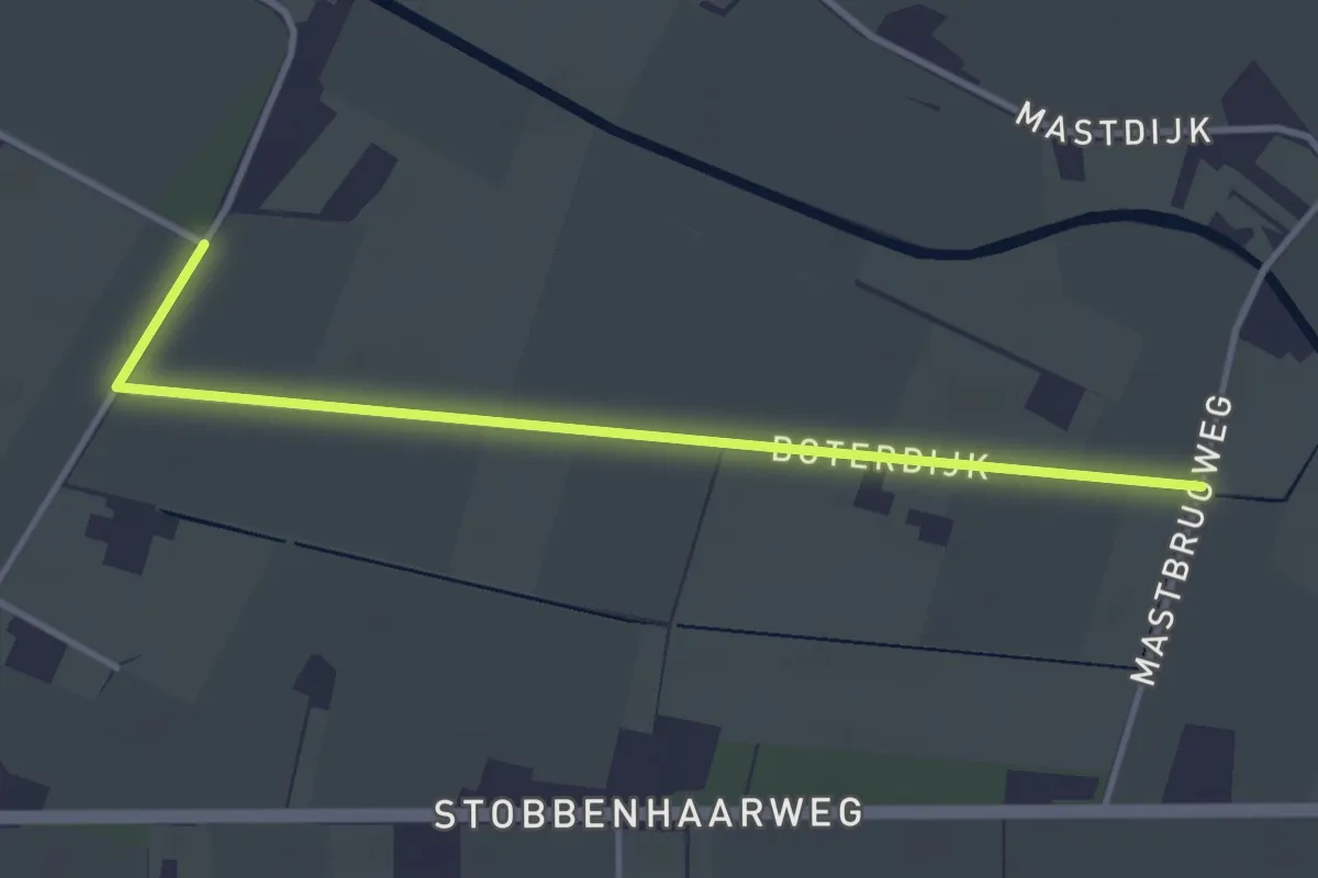
Easy · Trail
WNW Vechtdal verbingsroute K26-K66
3.2 km · ↑ 0 m · 46 min
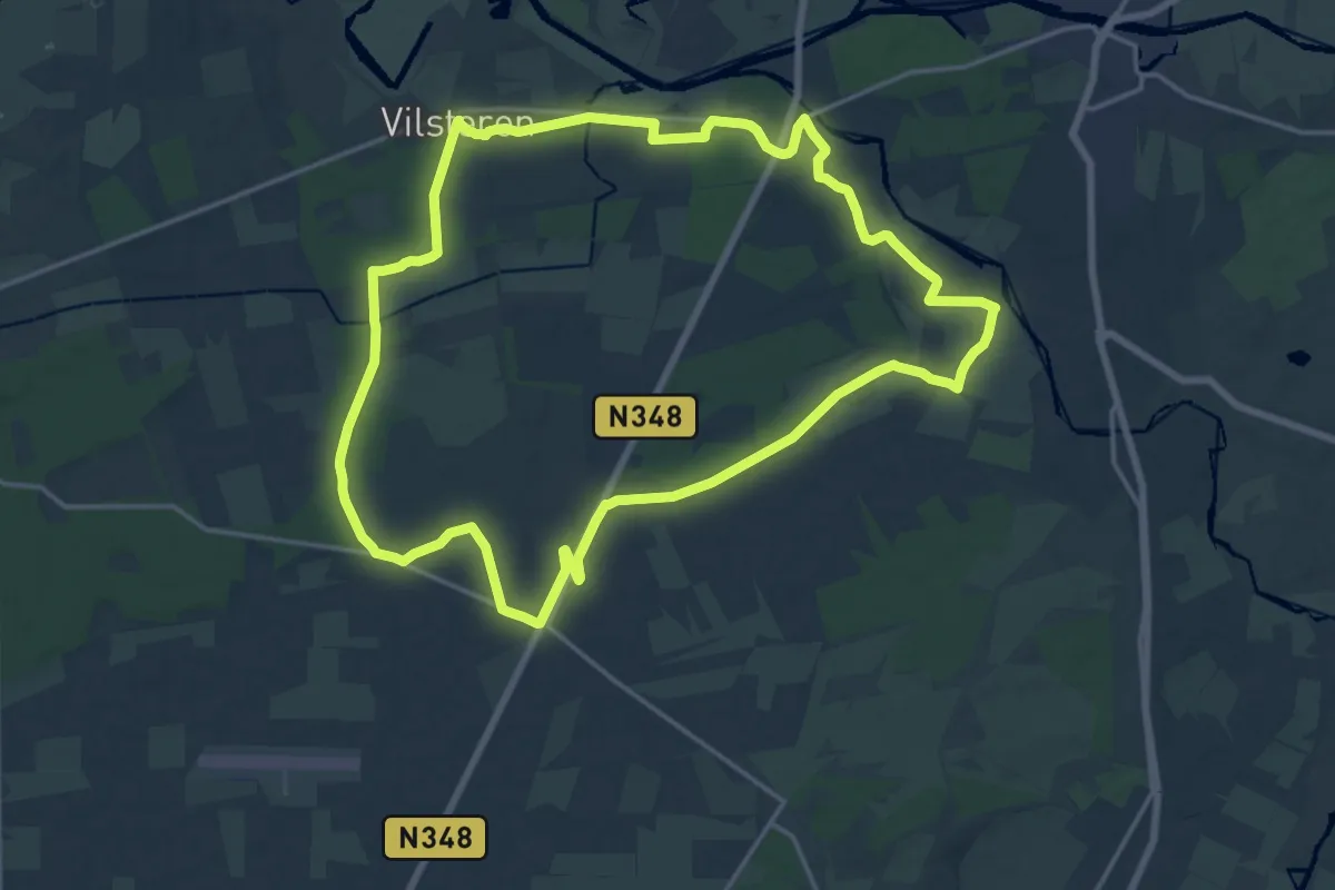
Medium · Trail
WNW Vechtdal - Vilsteren -gele route
16.1 km · ↑ 27 m · 4 h 6 min
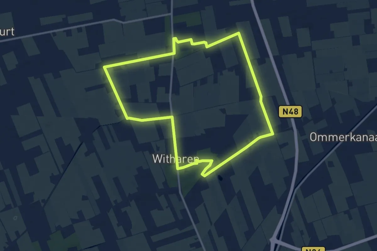
Medium · Trail
WNW Vechtdal - Witharen - groene route
8.6 km · ↑ 9 m · 2 h 10 min
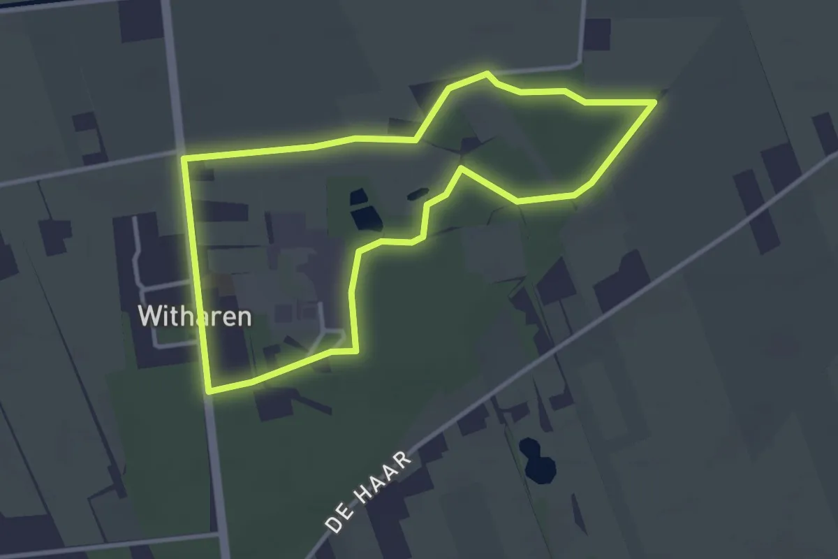
Easy · Trail
WNW Vechtdal - Witharen - oranje route
2.8 km · ↑ 9 m · 43 min
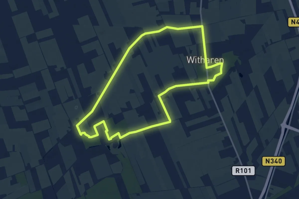
Medium · Trail
WNW Vechtdal - Witharen - paarse route
9.1 km · ↑ 13 m · 2 h 19 min
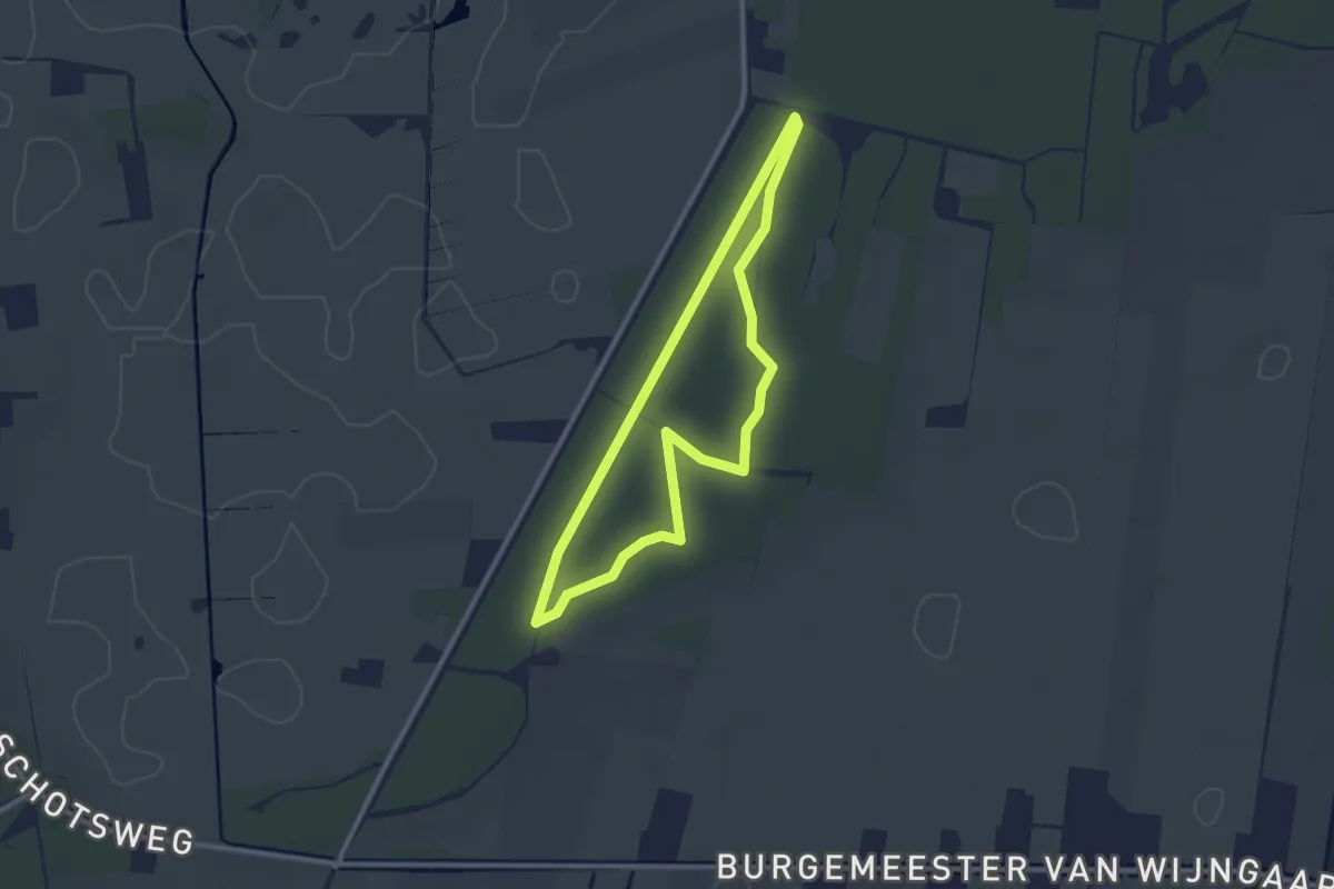
Easy · Trail
WNW Vechtdal - Witte Bergen - blauwe route
2.2 km · ↑ 4 m · 34 min
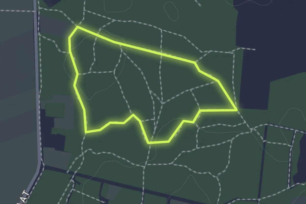
Easy · Trail
WNW Vechtdal - Witte Bergen - oranje route
1.3 km · ↑ 0 m · 19 min